






Matschacher Gupf
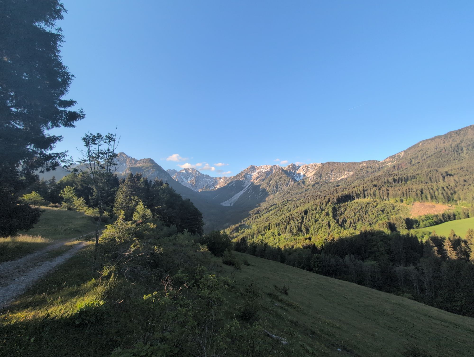
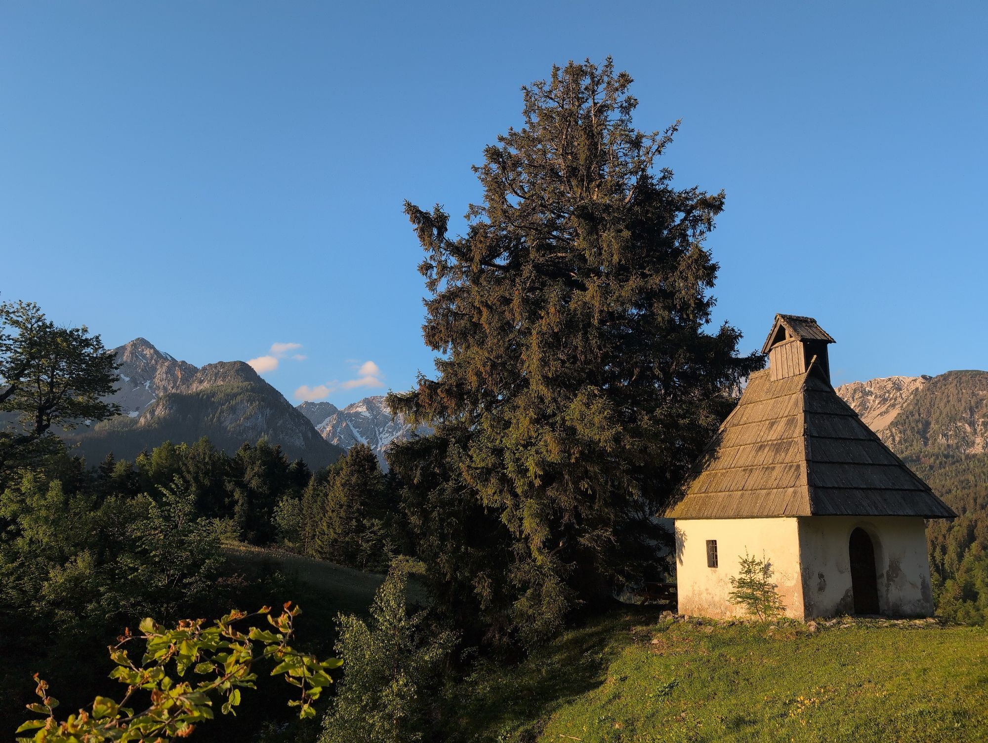
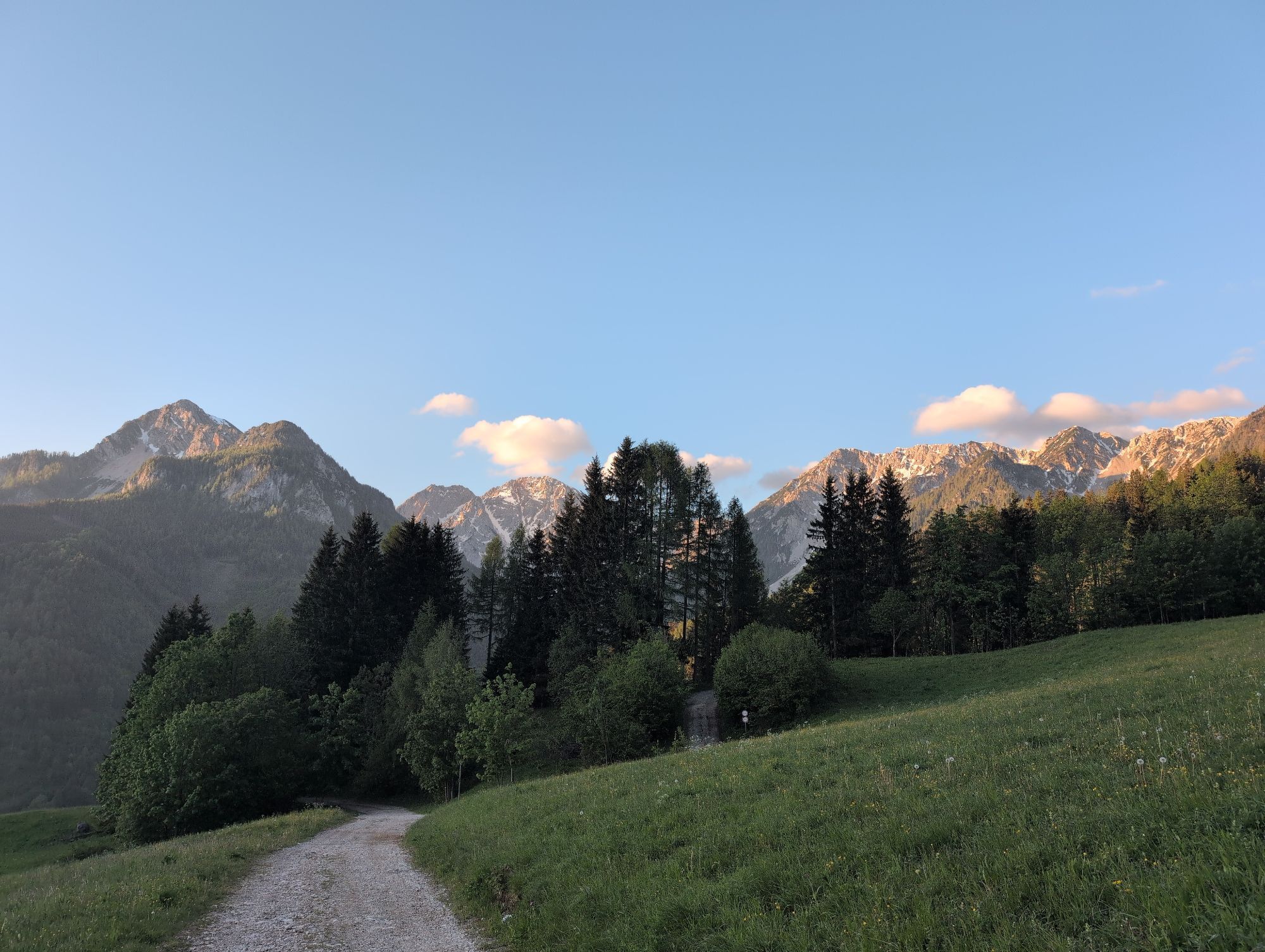
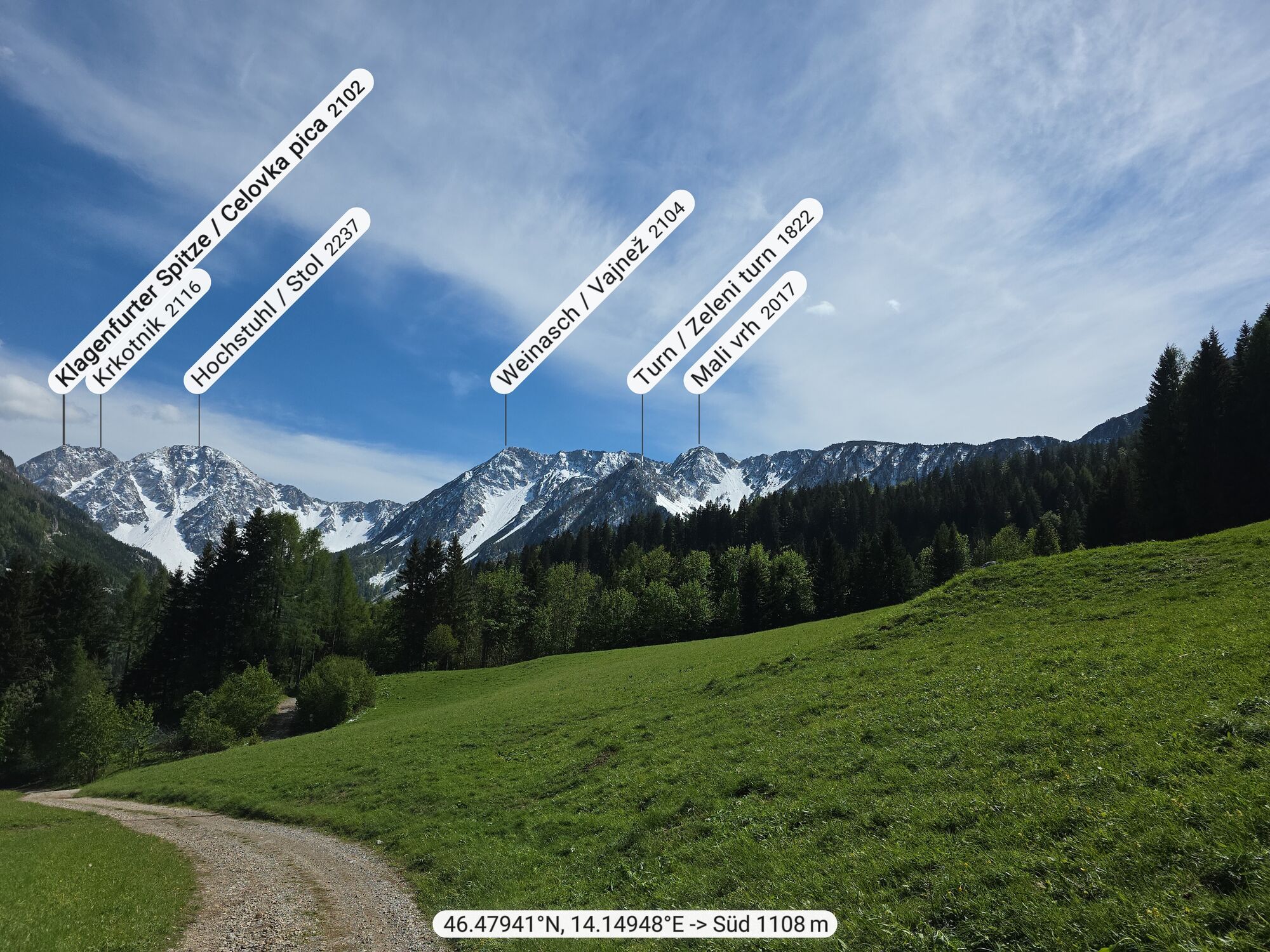
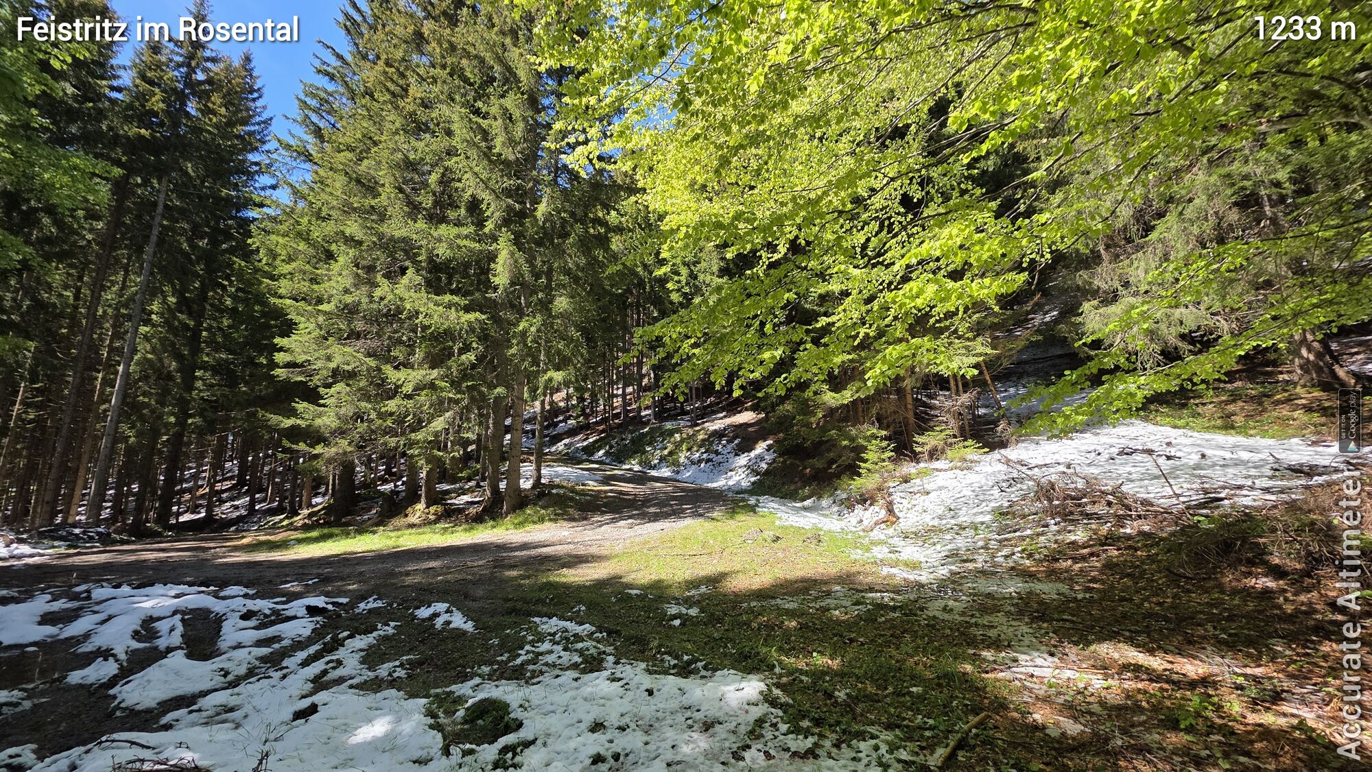
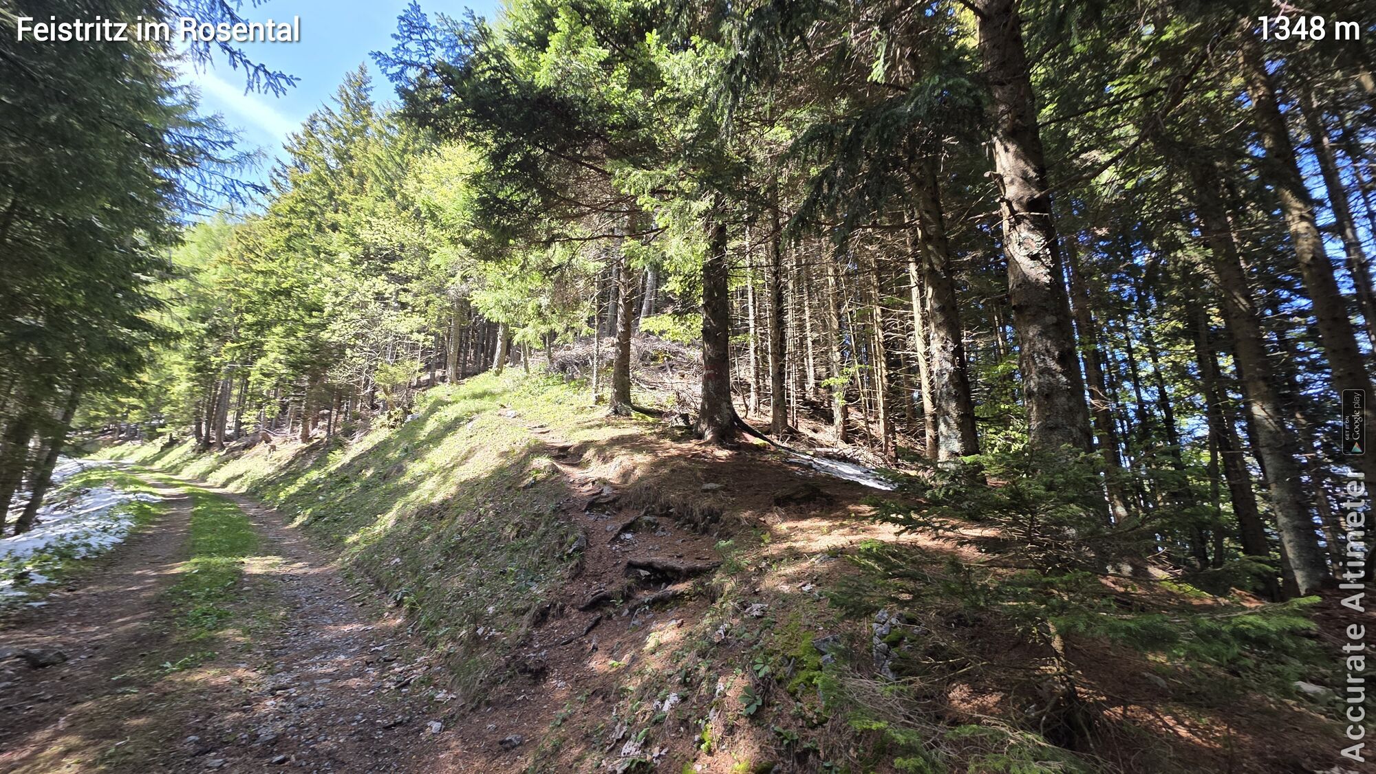
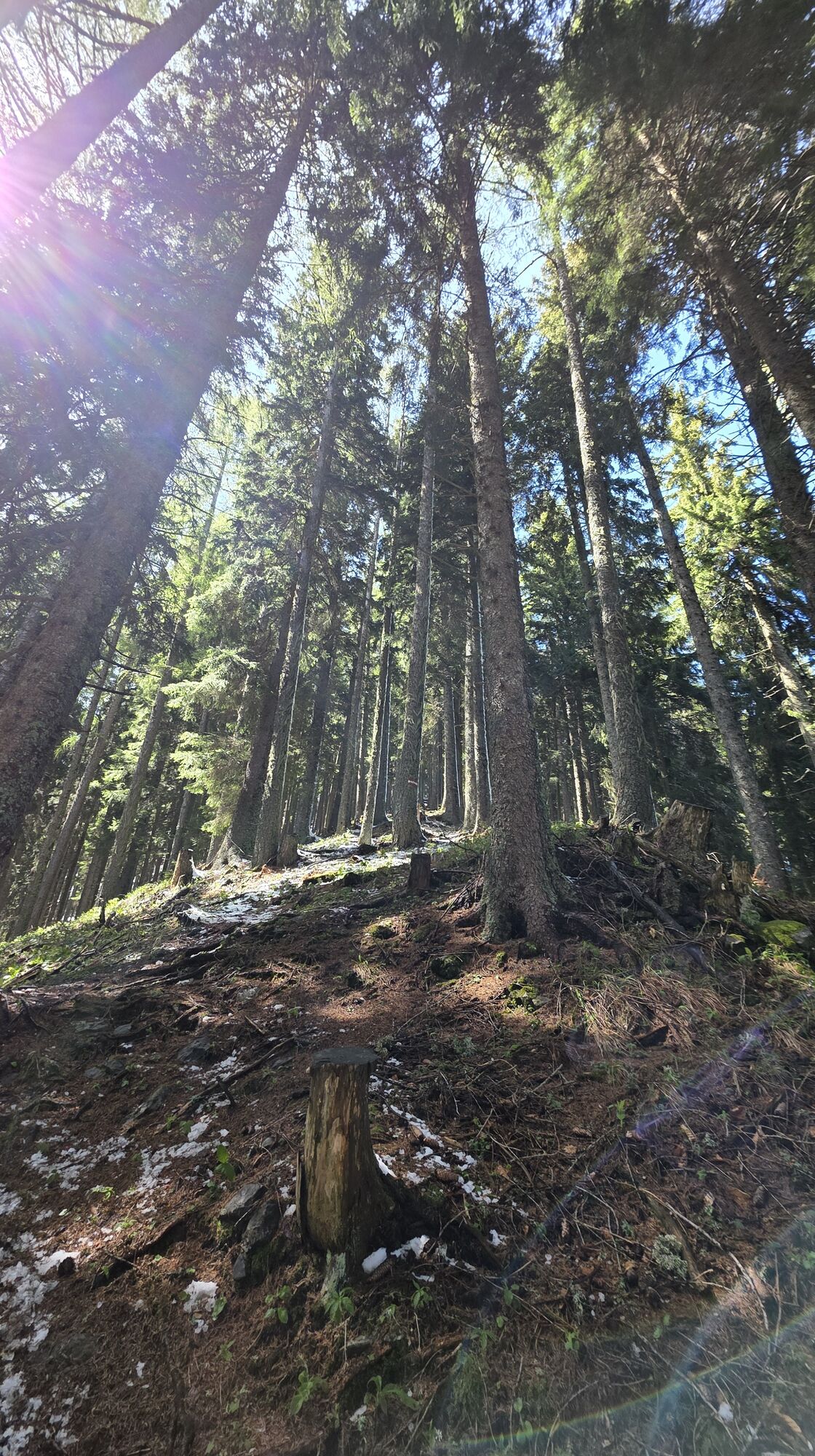
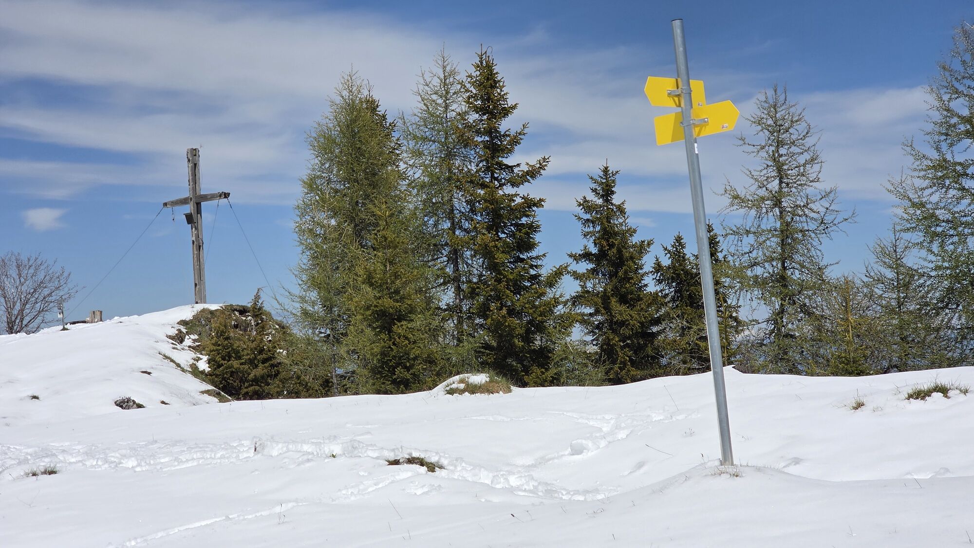
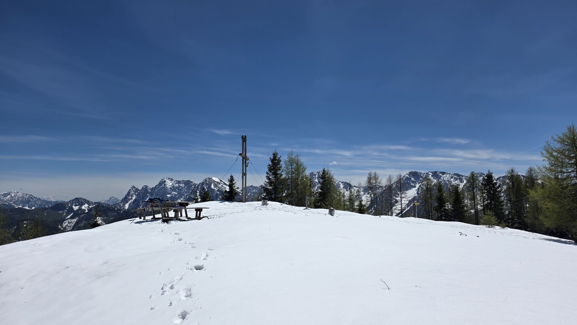
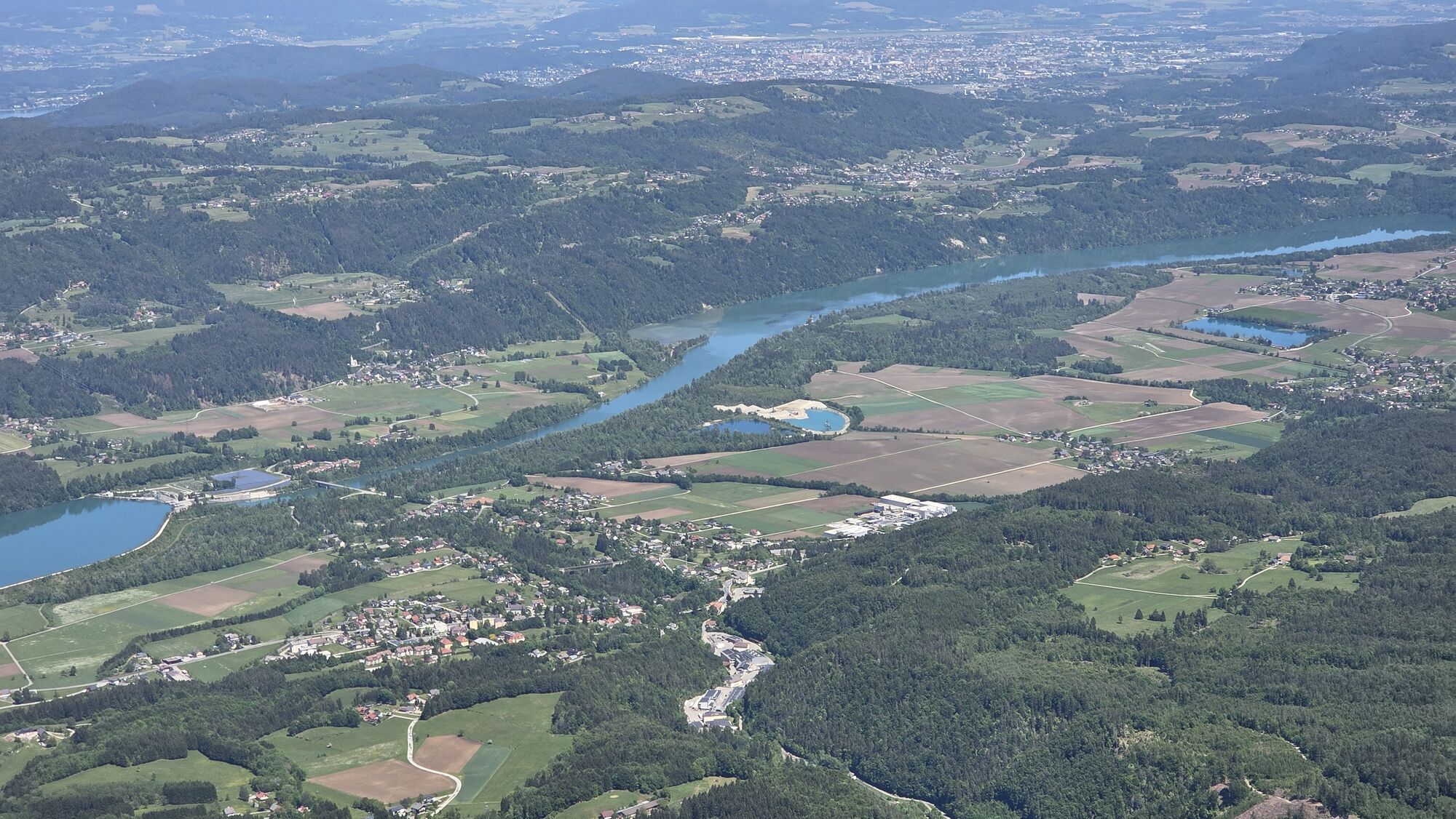
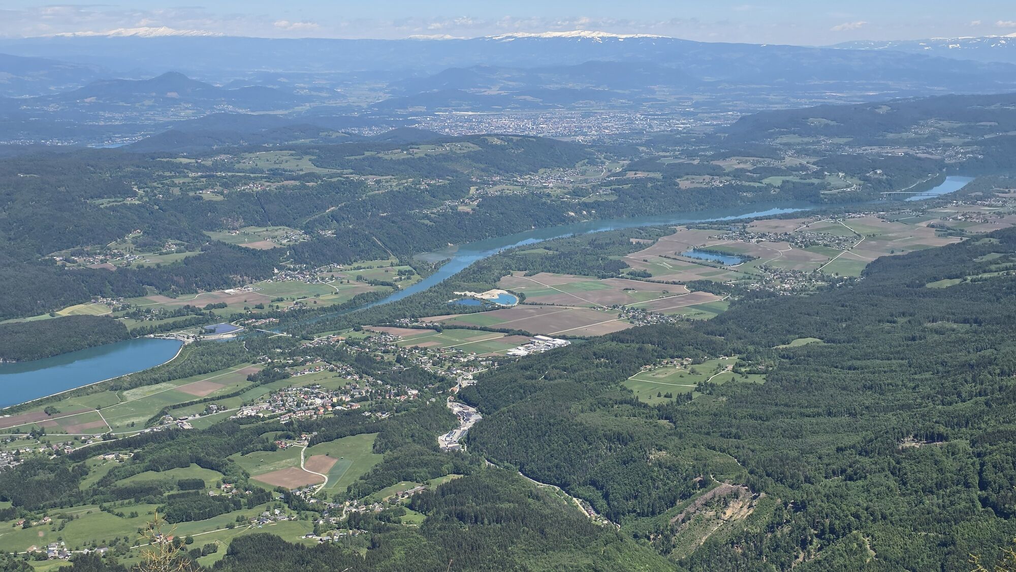
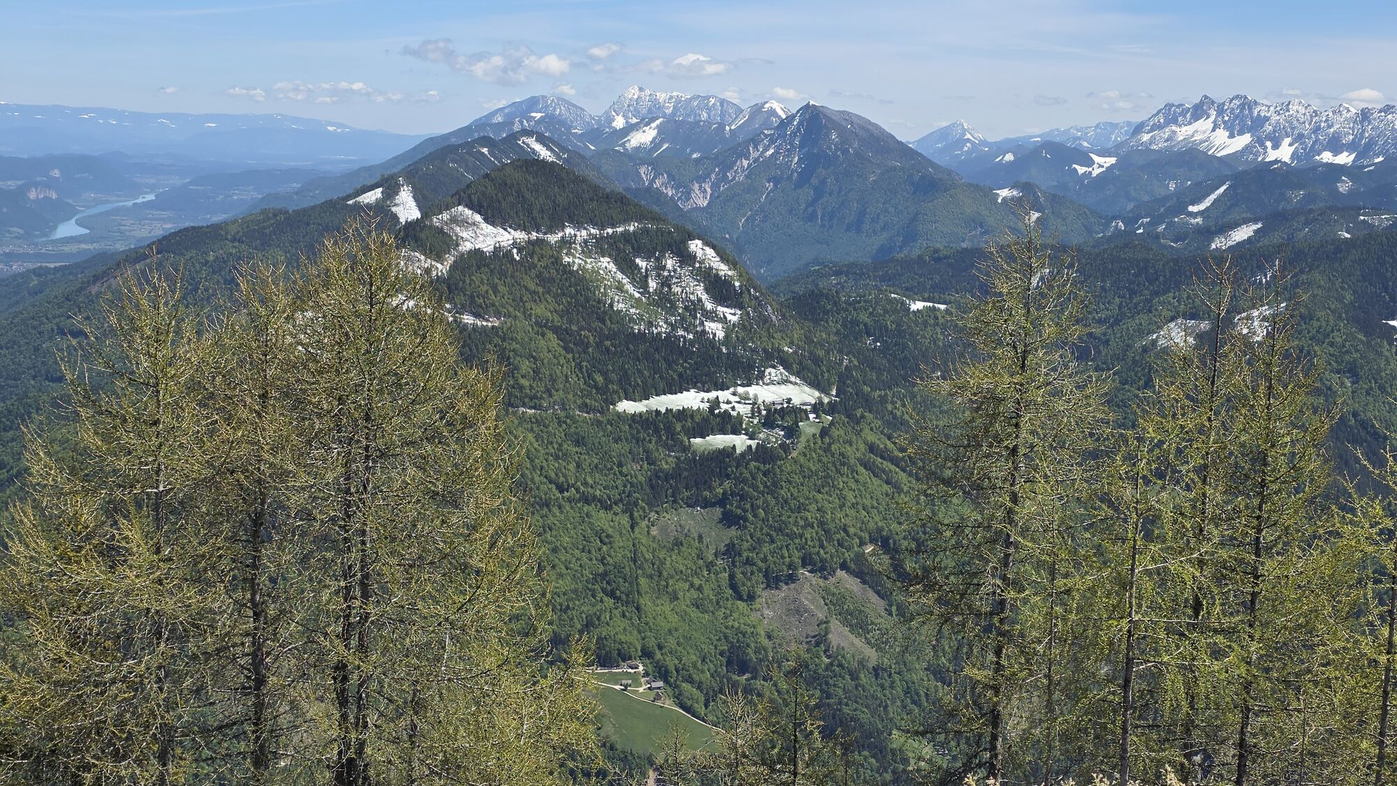
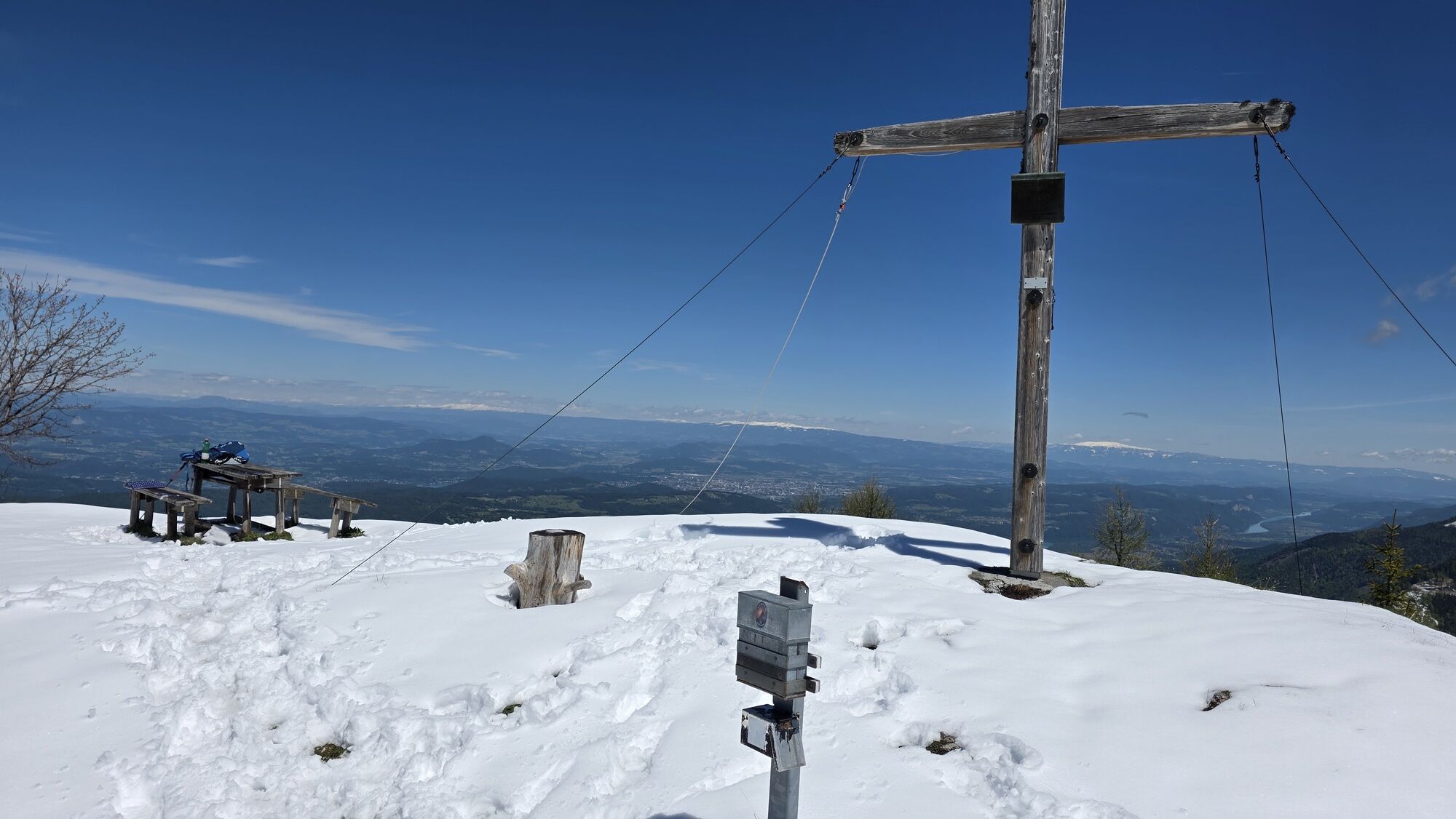
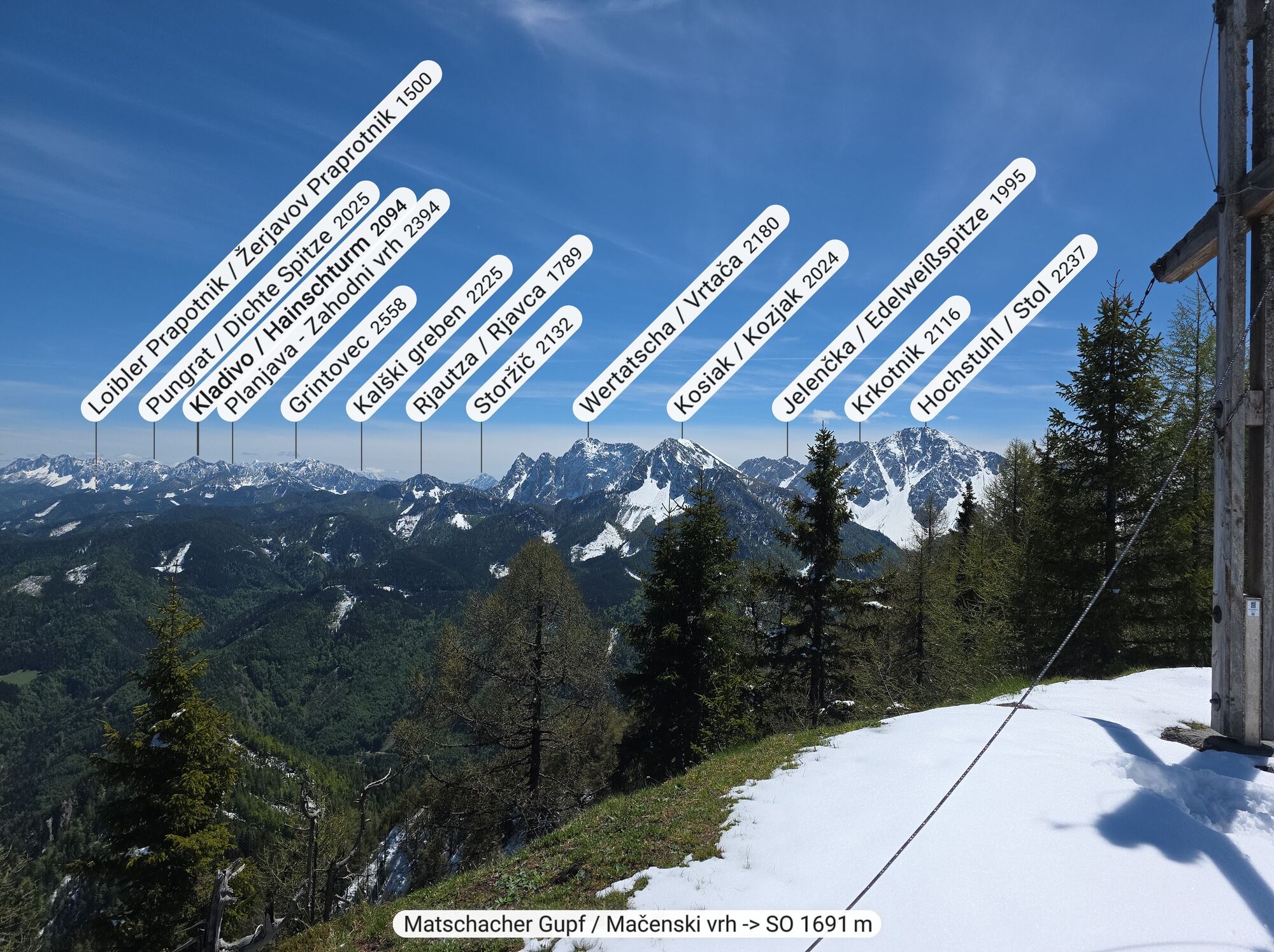
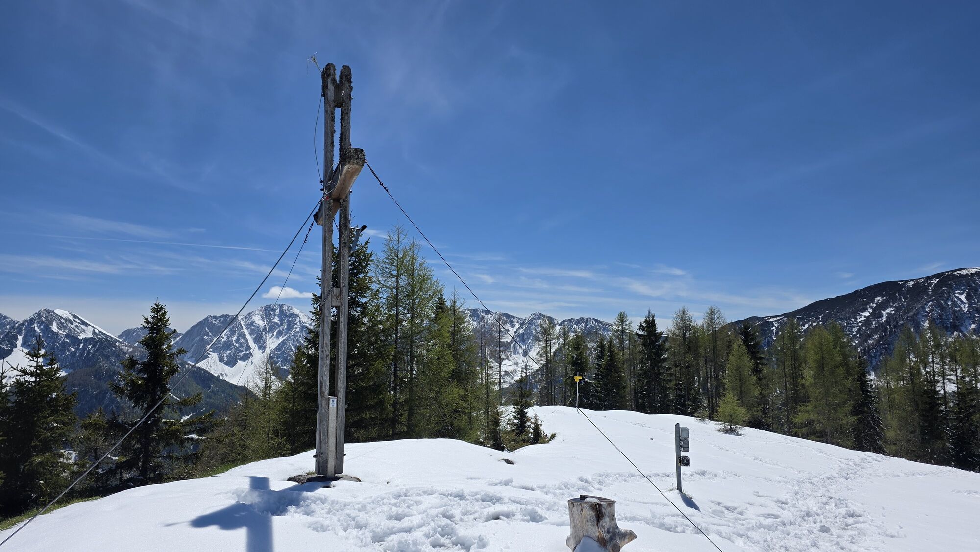
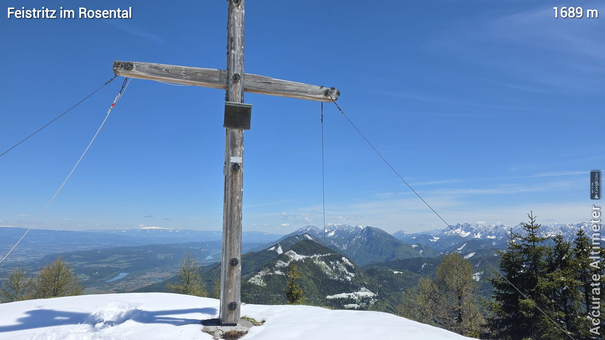
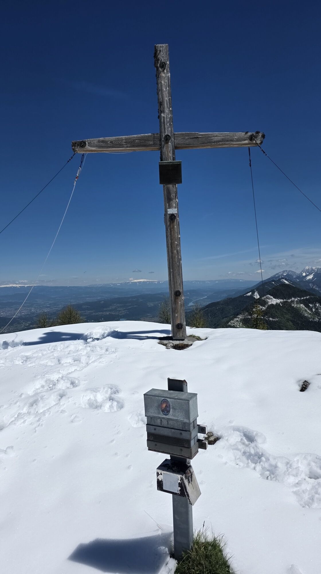
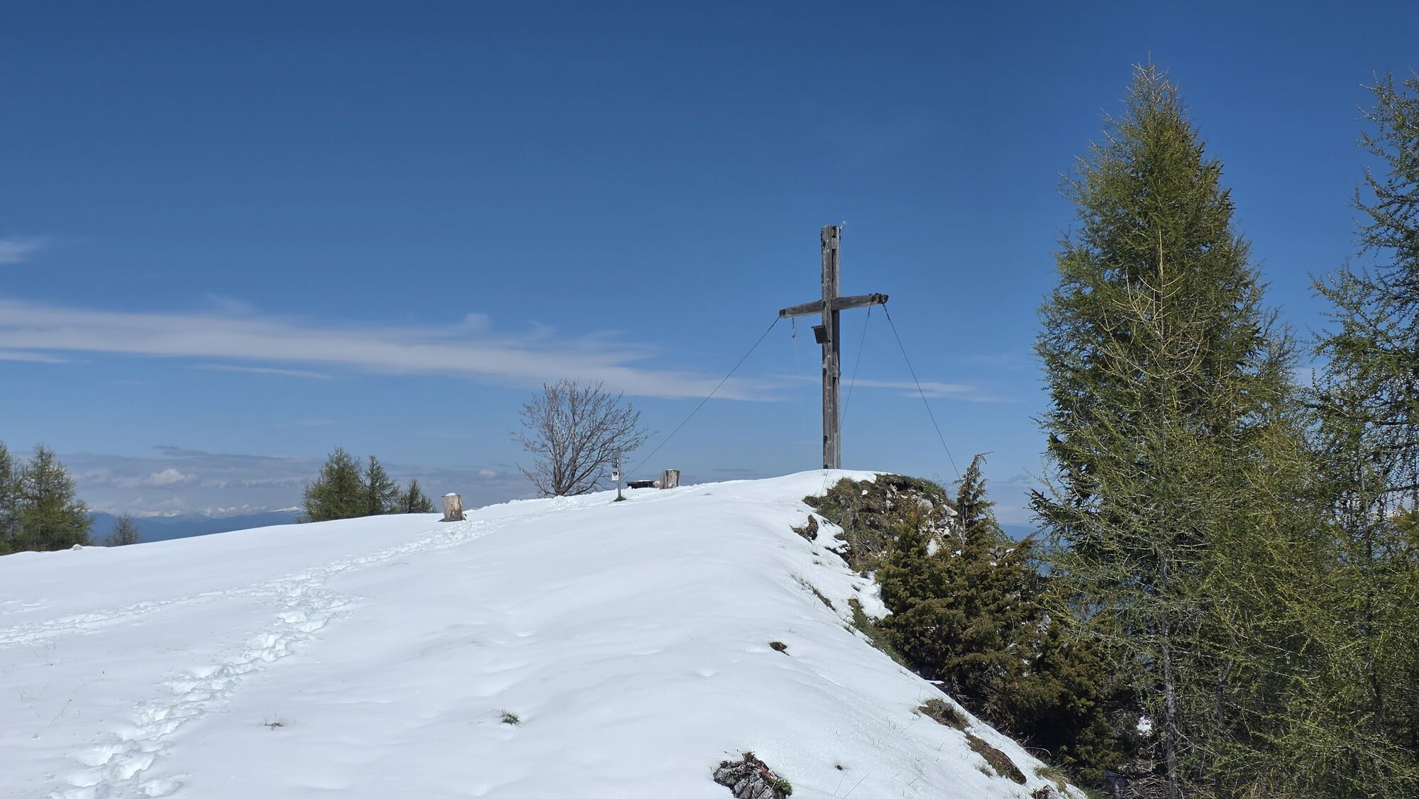
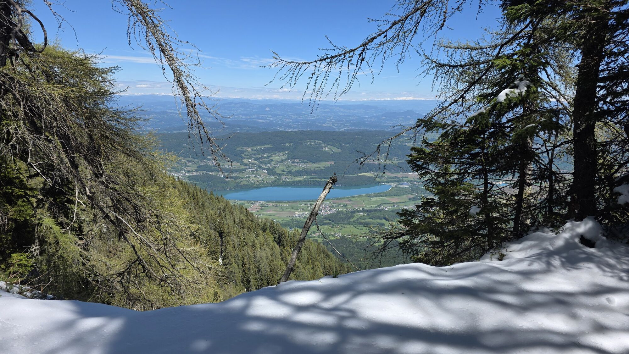
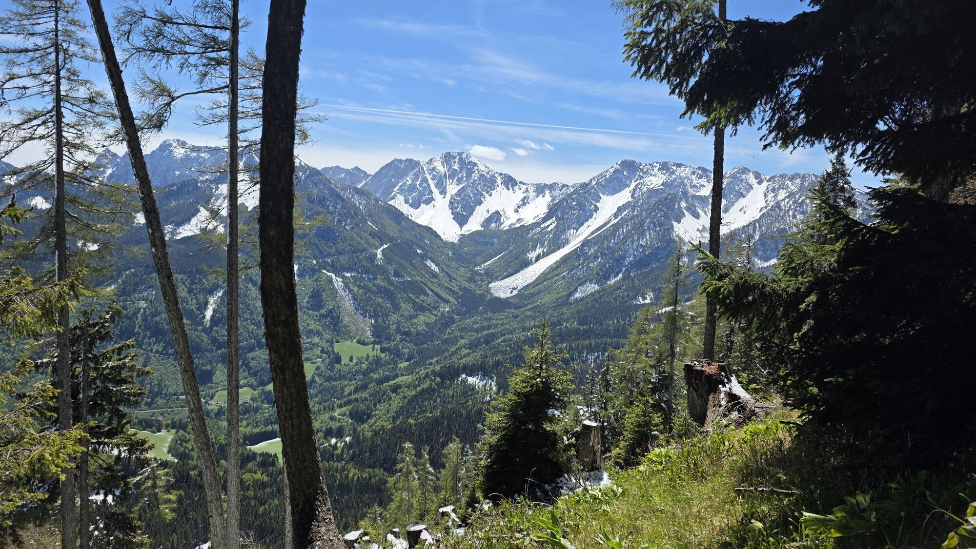
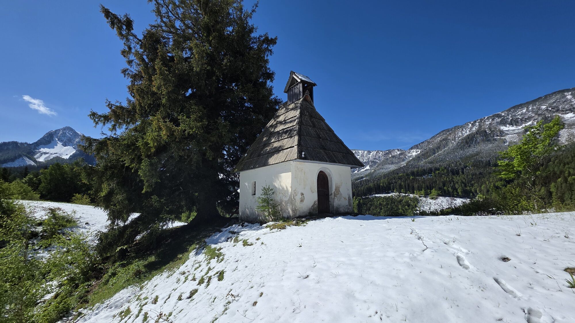
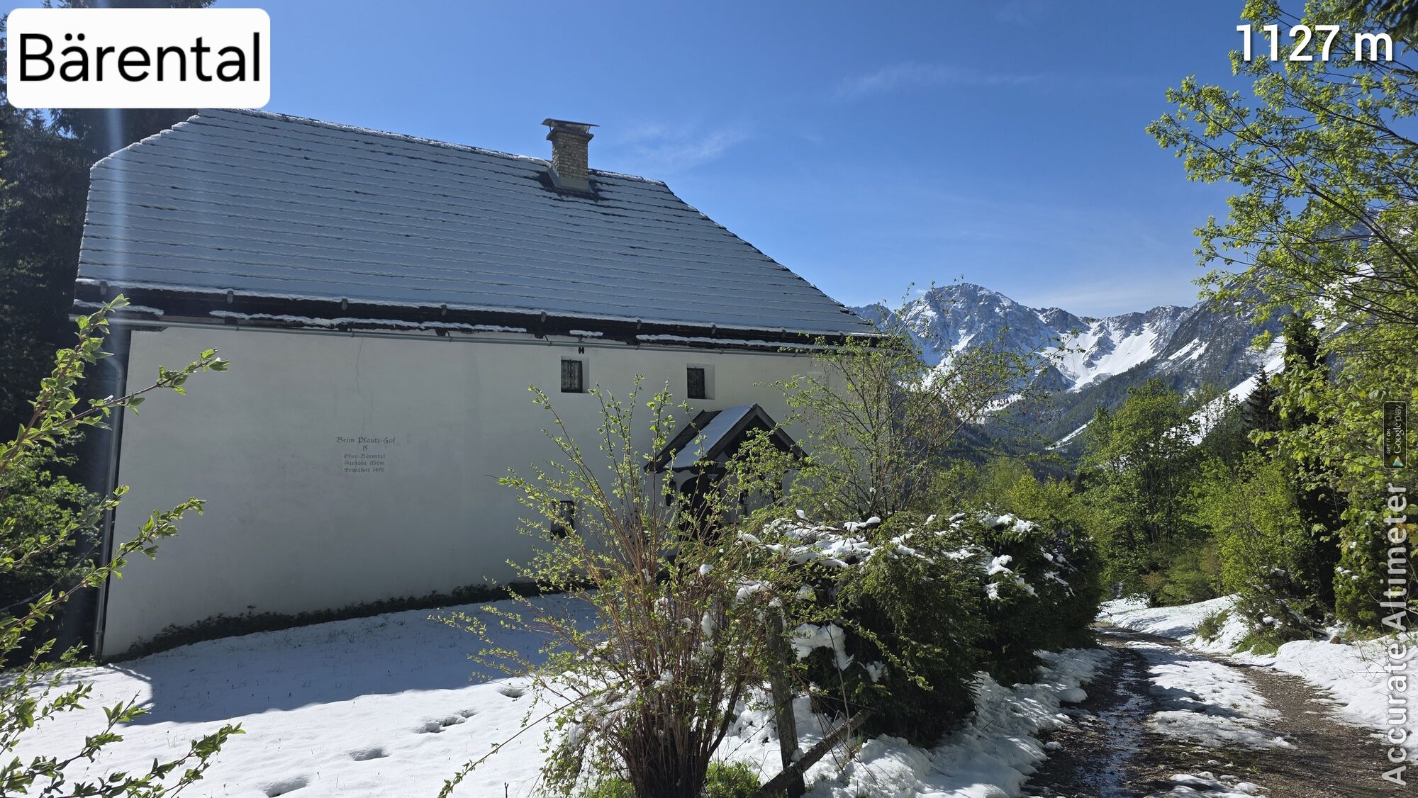
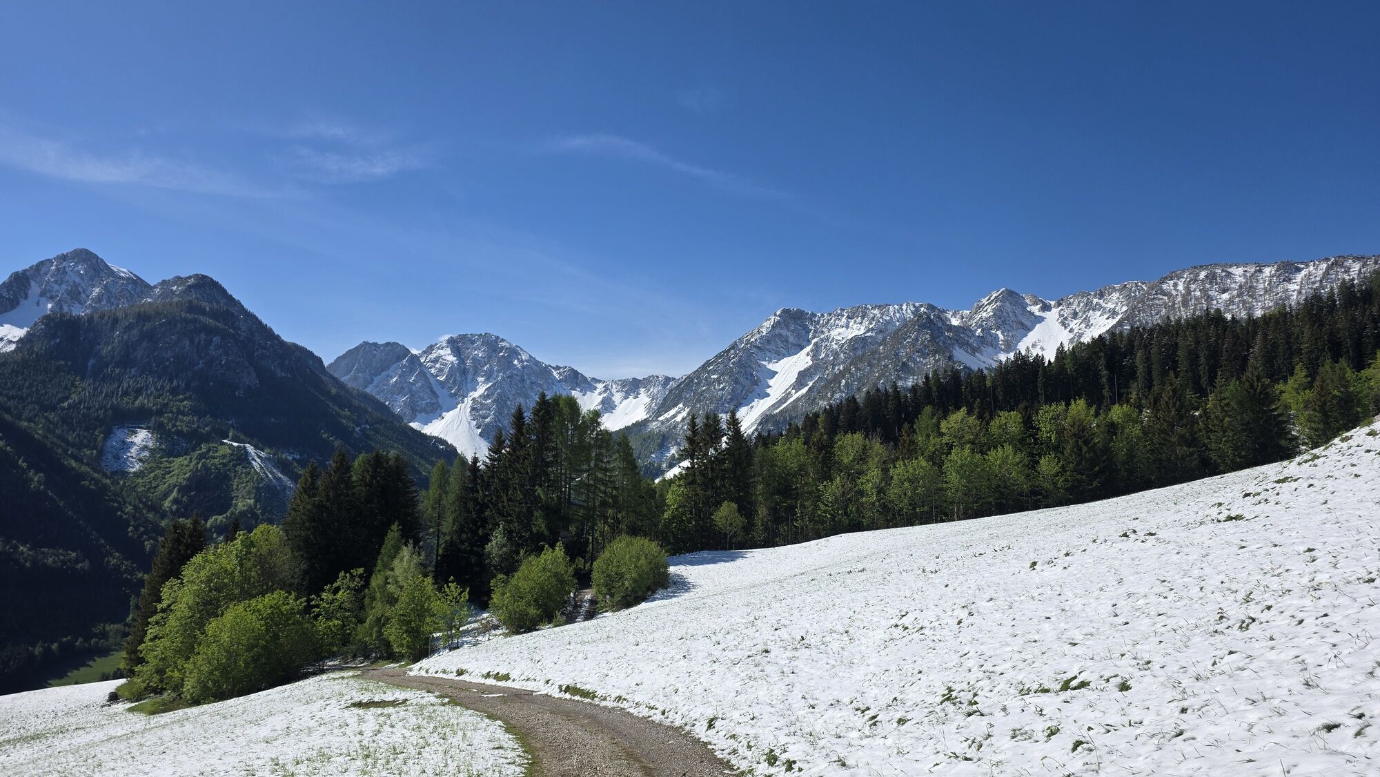
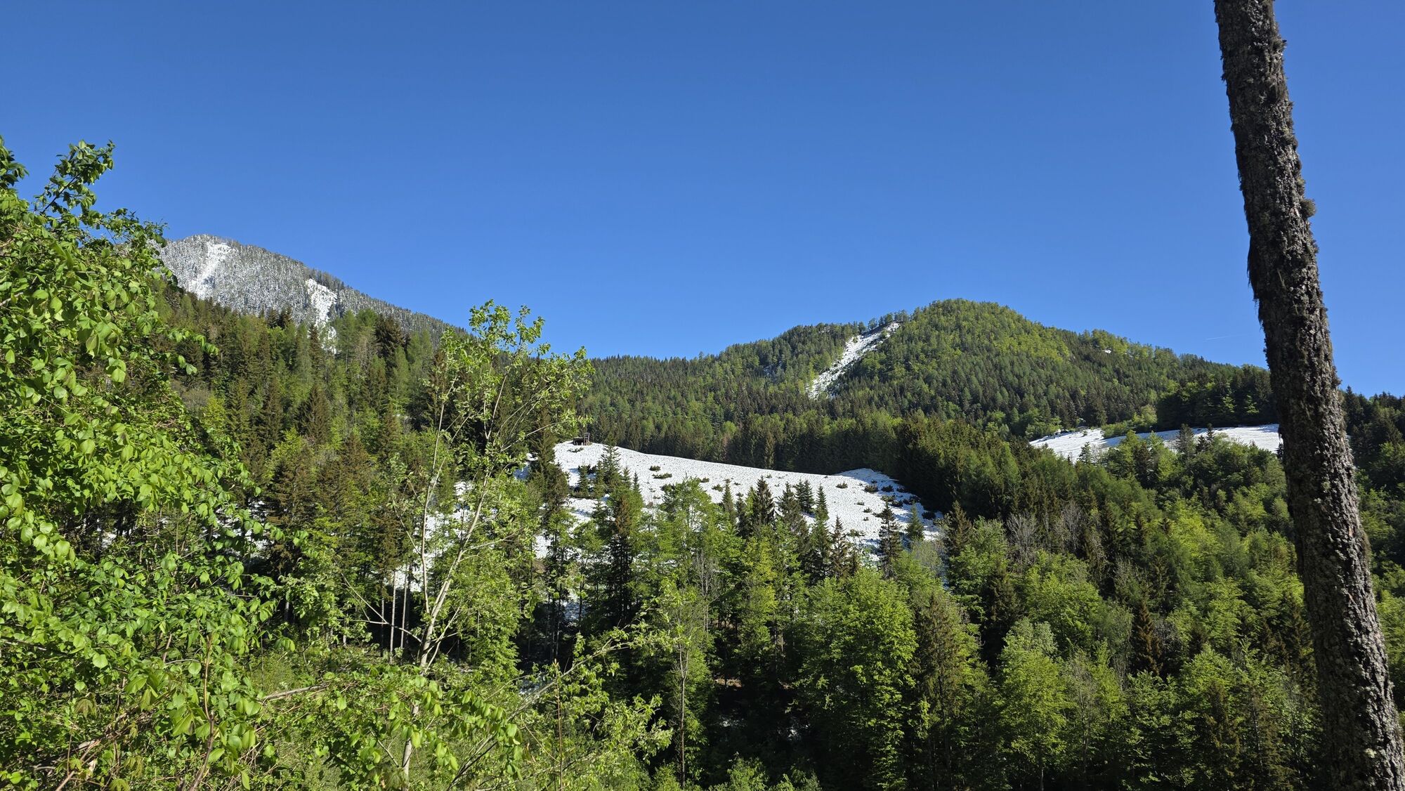
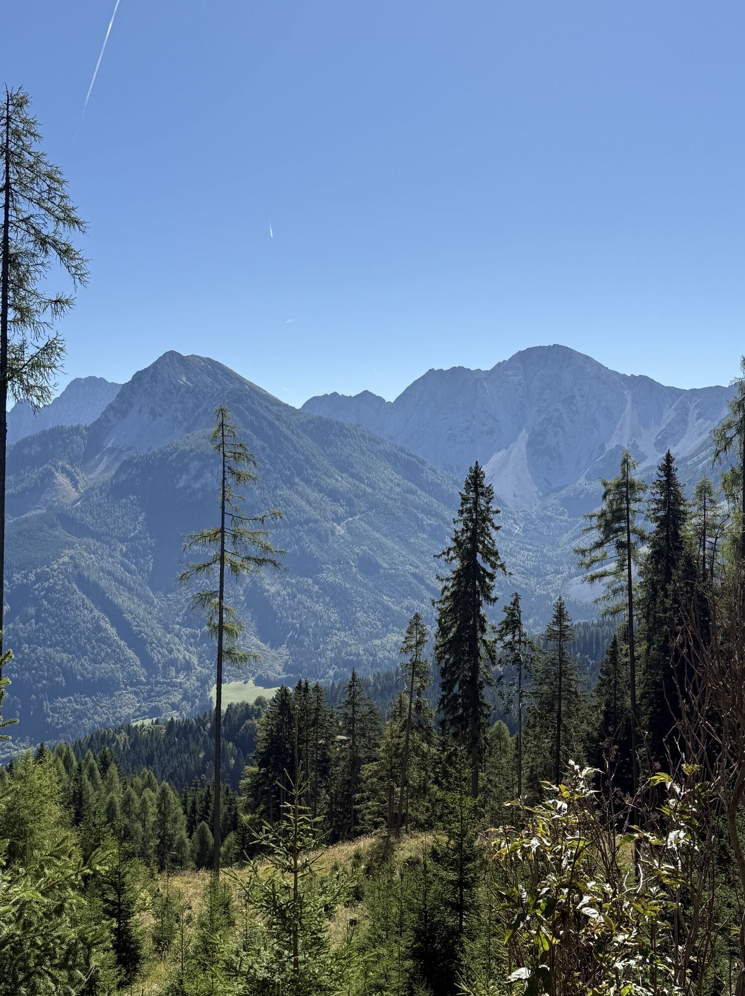
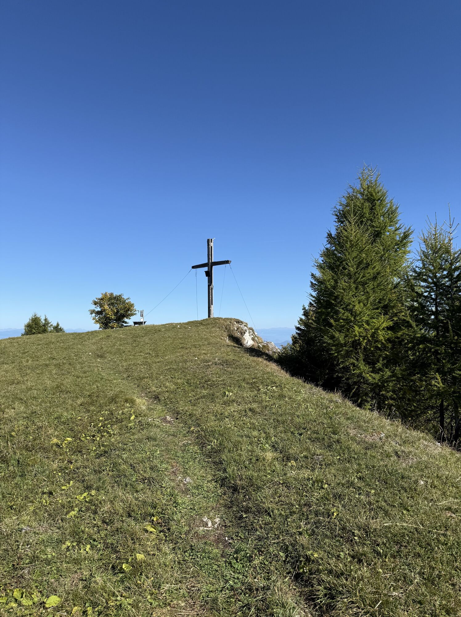
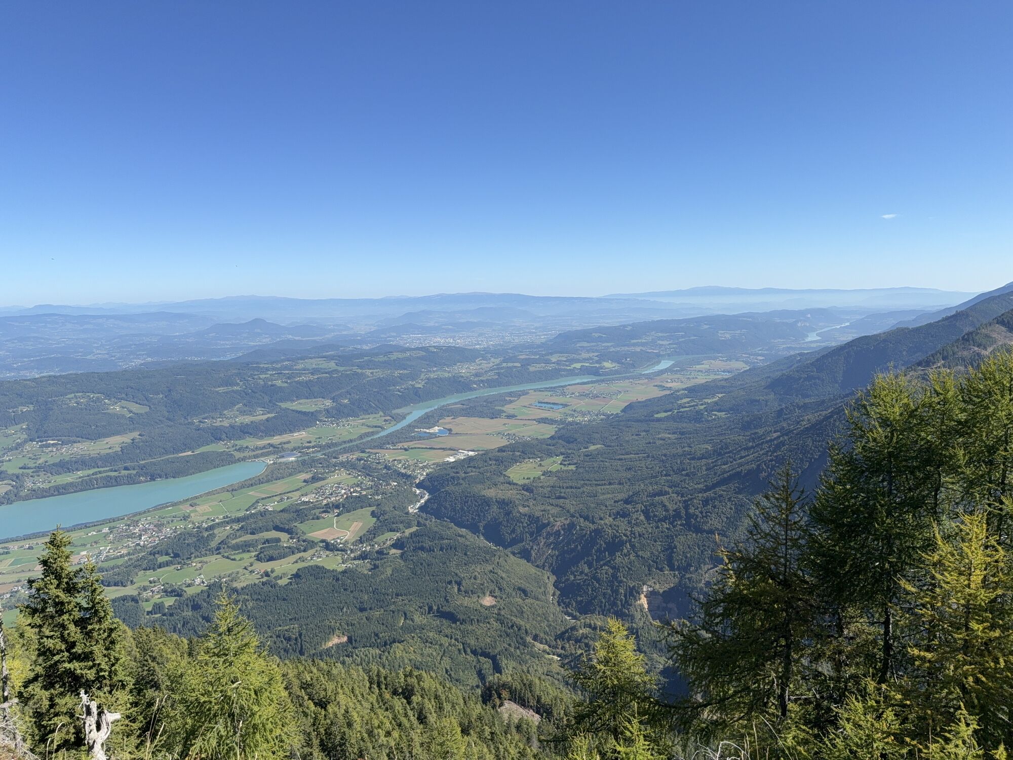
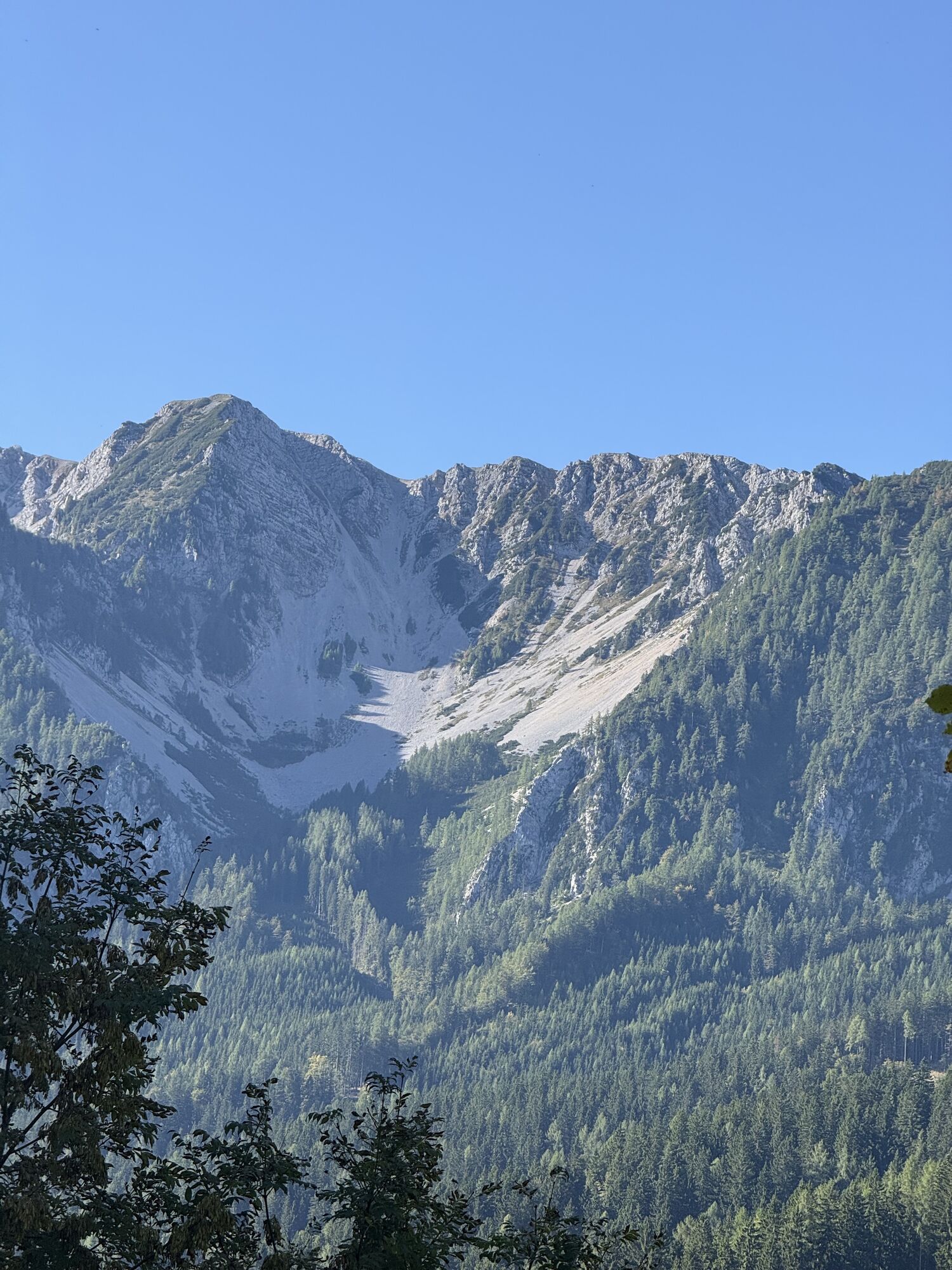
Beautiful resting and viewing spots as well as a short but "brisk" ascent to the level summit plateau with a nice summit cross and impressive panoramic views are the highlights of this route.
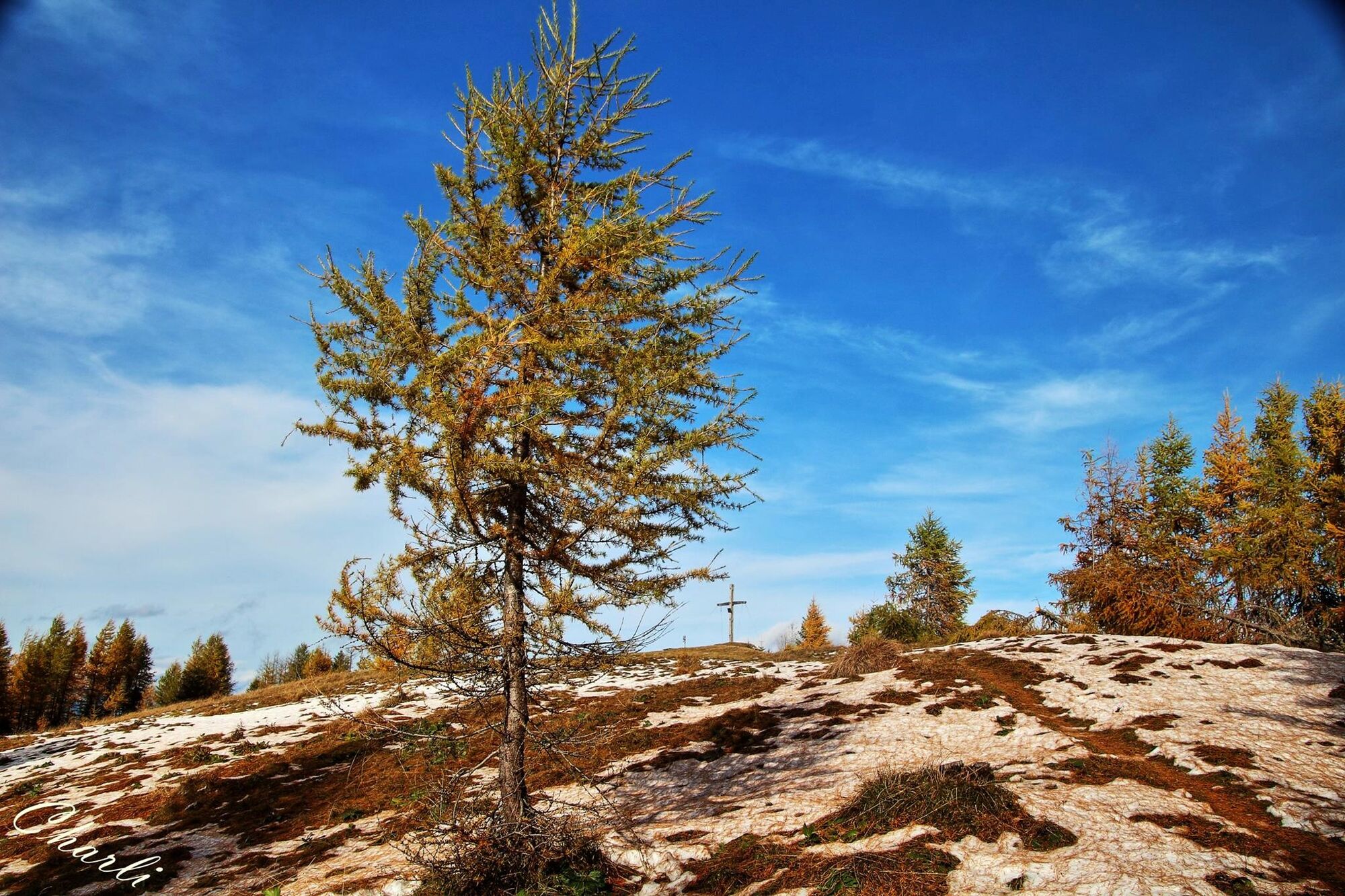

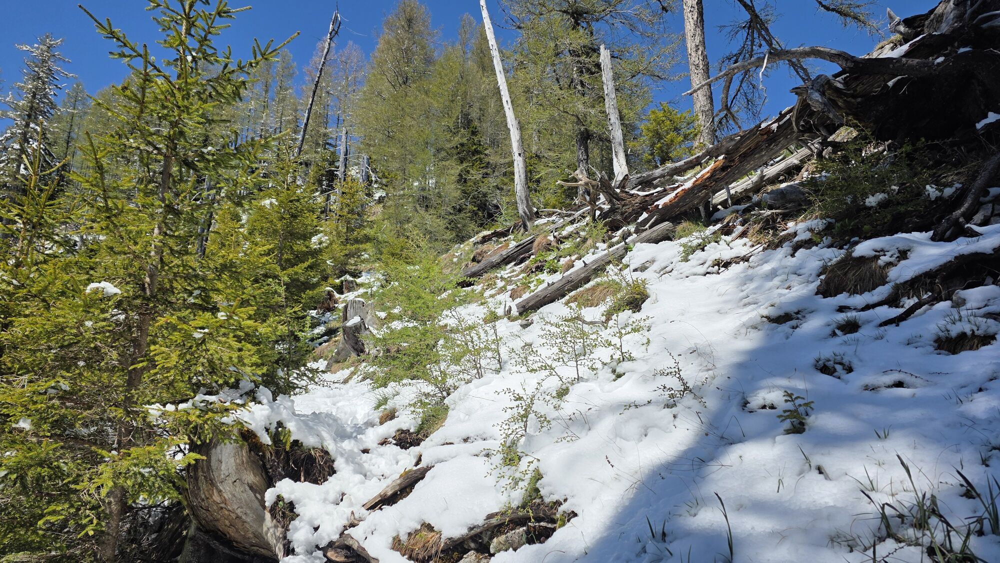
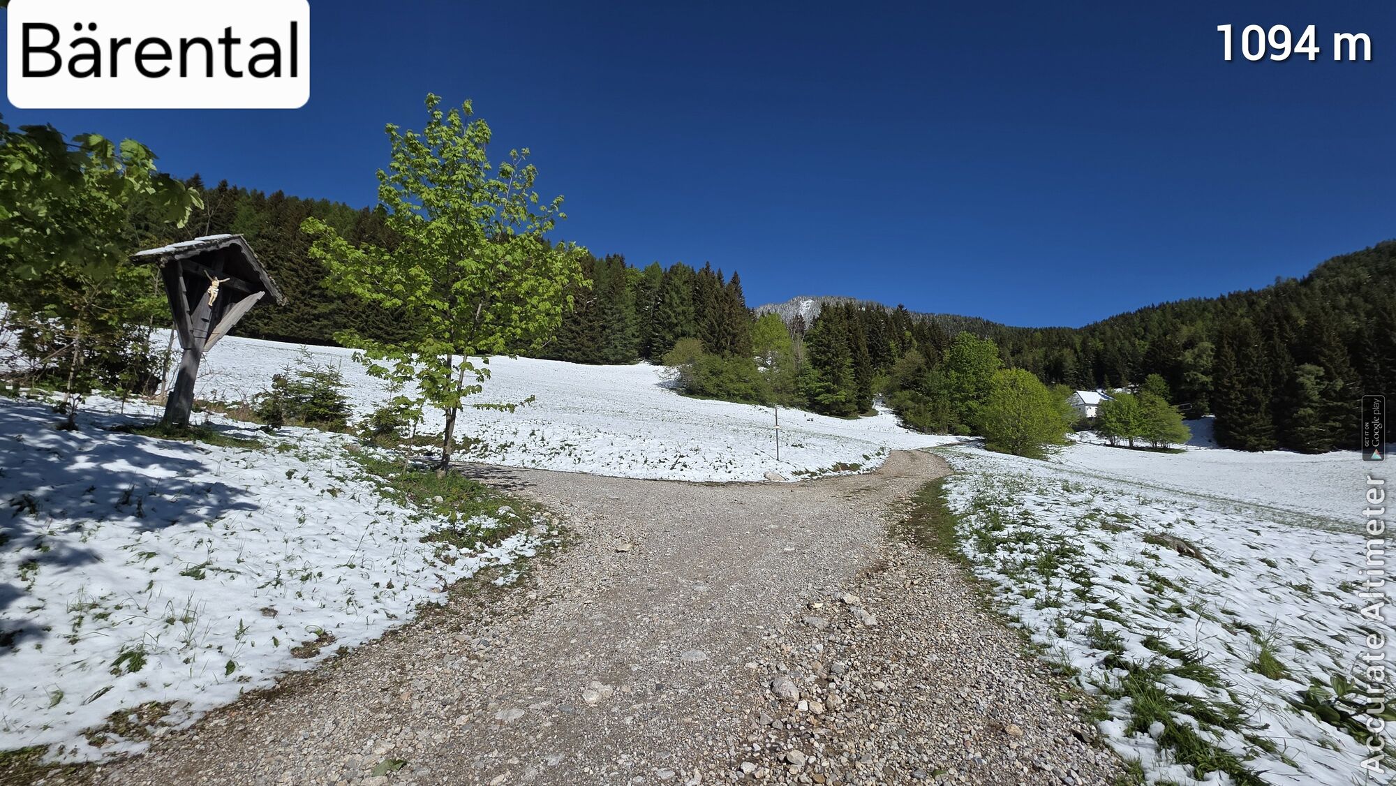
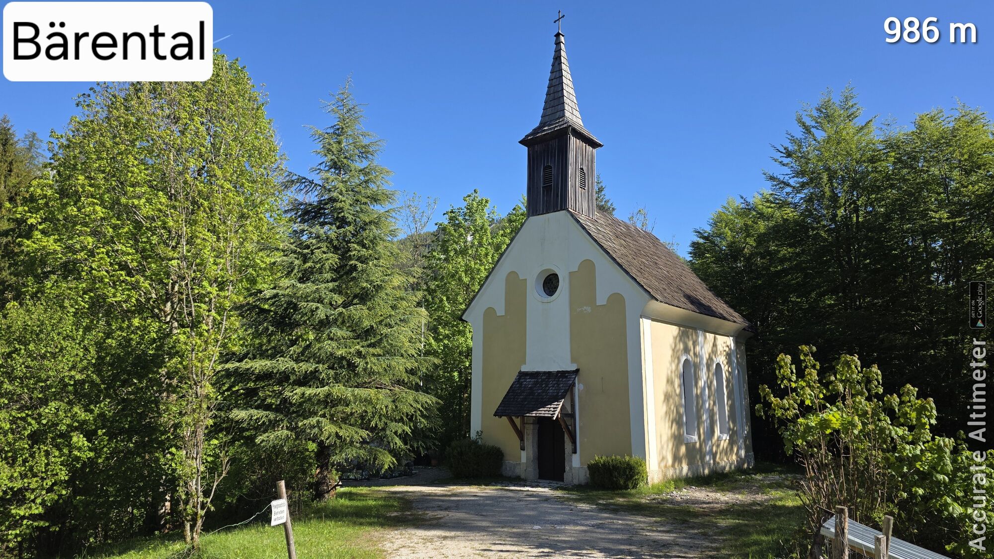
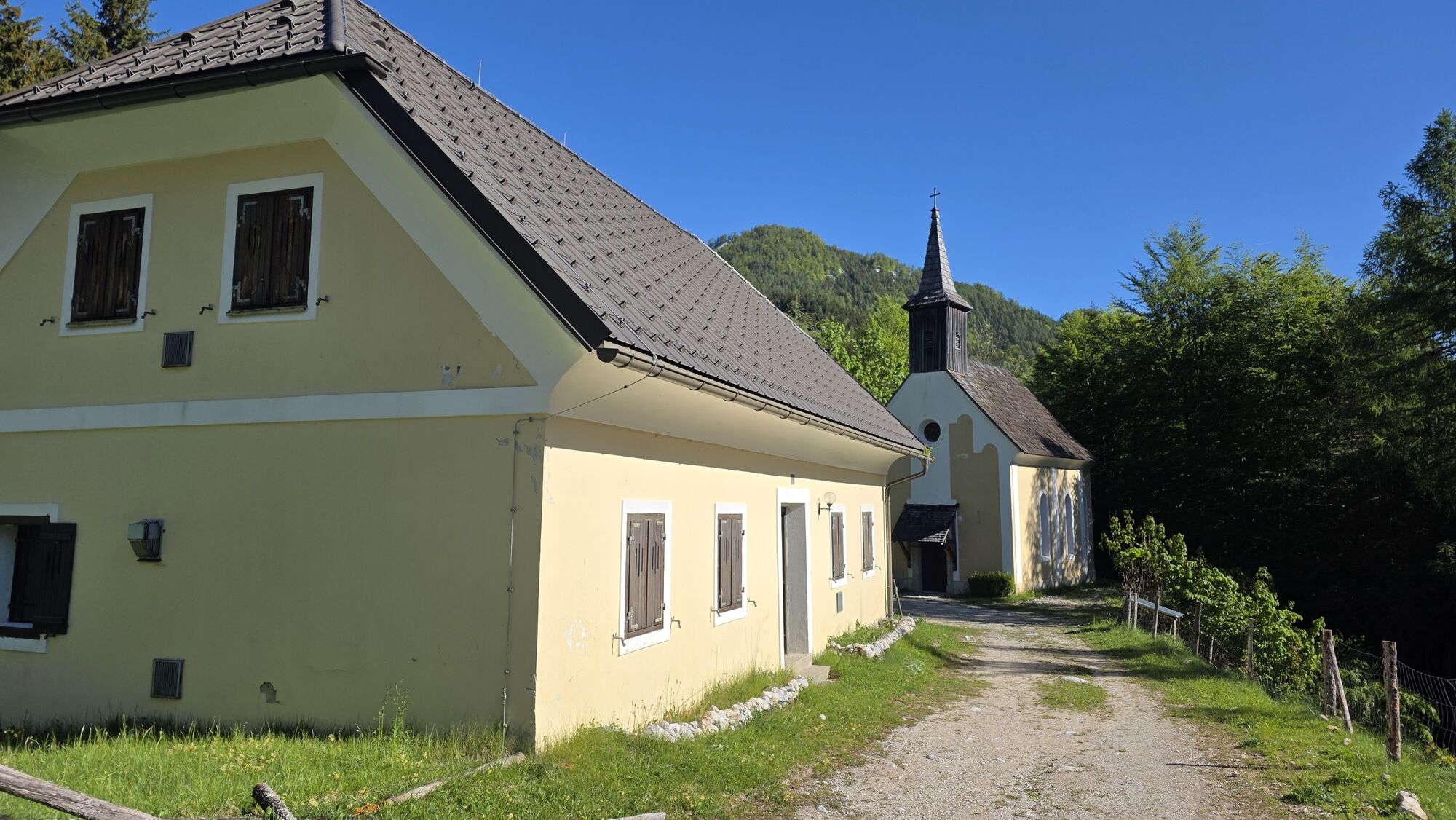
From the car park, follow the forest road upwards towards the "Memorial" to the "Plautz" property, then continue towards the chapel "Old St. Michael". Here, follow the upper forest path and after a left turn, hiking trail 668 branches off to the right into the forest. A short climb over a wire fence. The forest road is crossed 3 times in succession, the hiking trail is nicely laid out in switchbacks. Along the ridge and then steeply through the forest up to the level summit plateau.
For the return, either take the ascent route or descend southwards from the summit (very steep!) and follow the marked hiking trail 669 over the gypsum saddle to the "Plautz" farmstead. Attention, here the hiking trail is sometimes a bit difficult to find due to wind and snow breakage. Then descend back to the car park via the already known forest road.
Tak
Tak
complete hiking equipment, mobile phone, camera
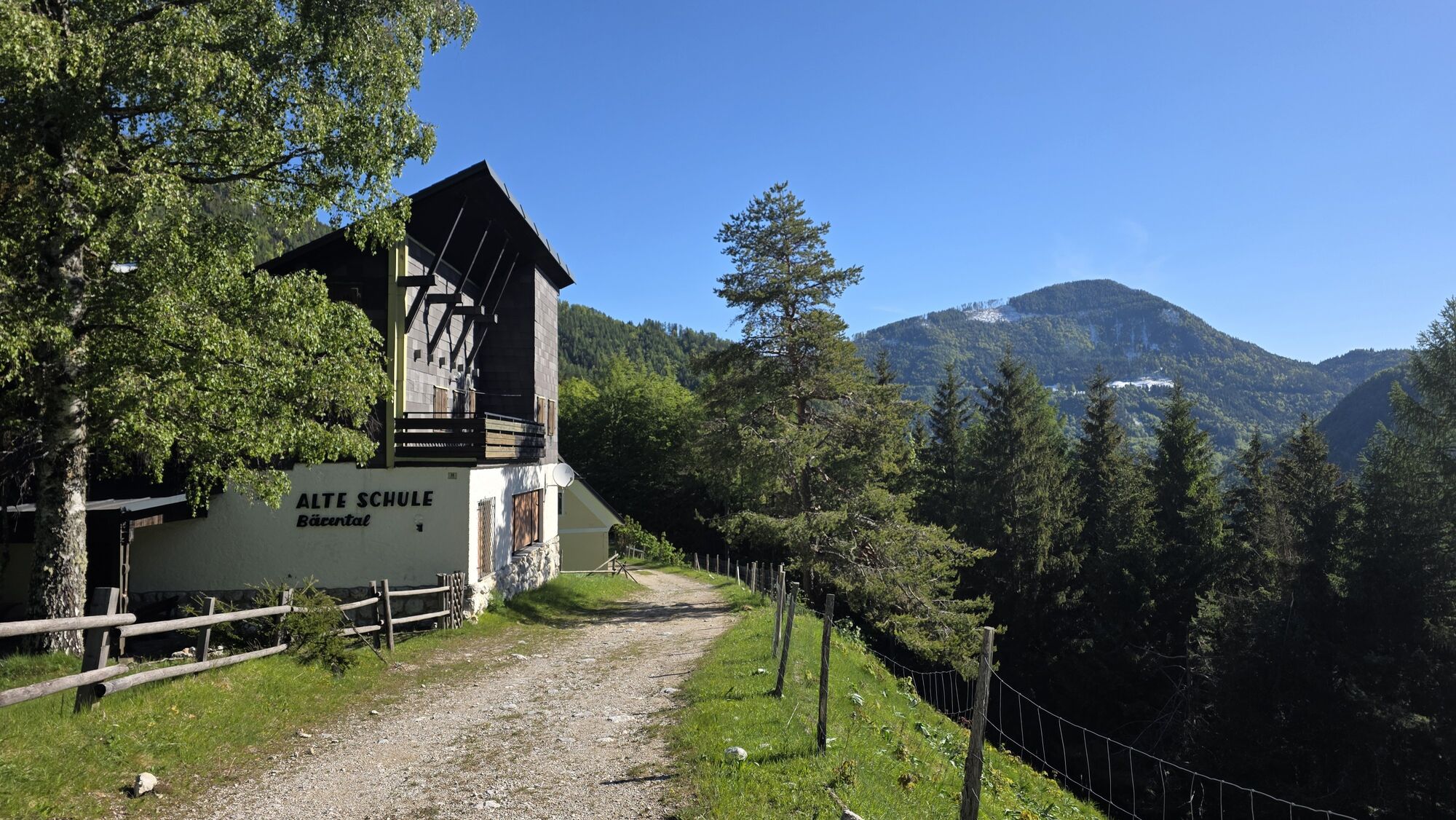
Coming from Klagenfurt or Villach, go to Feistritz im Rosental and turn off here into the Bärental (southbound). Asphalt road to the car park below the Stou hut.
By bus or train to Feistritz im Rosental and then continue with the "Gomobil" into the Bärental
Car park below the Stou hut
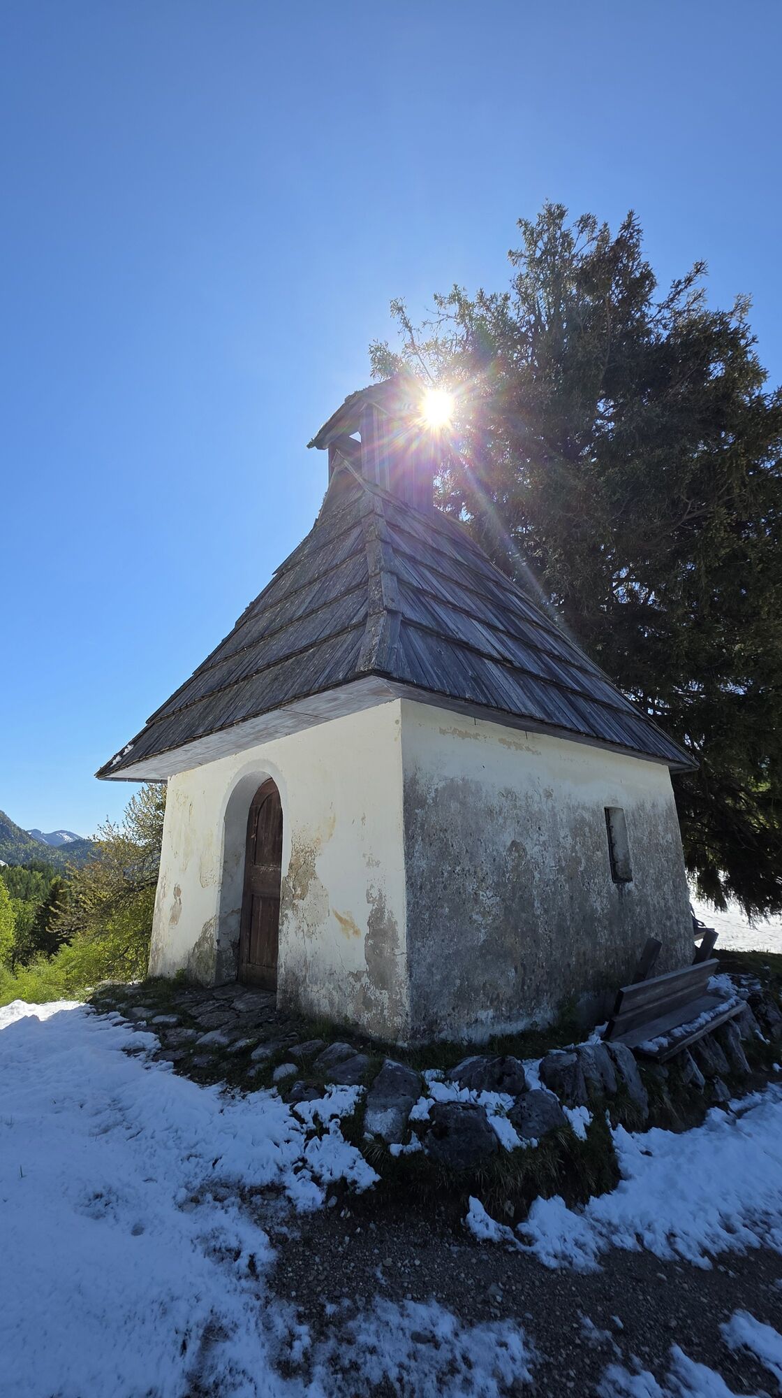
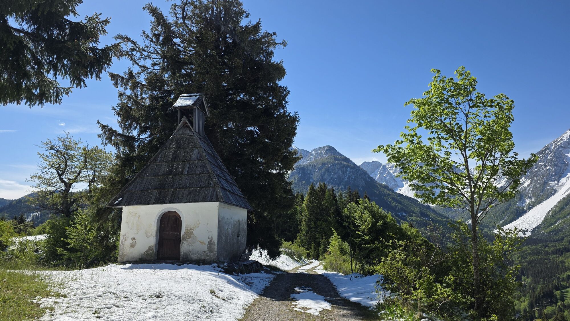
Be sure to visit the chapel "Old St. Michael"

 Uzyskaj wgląd Zawsze na żywo z ponad 9 500 kamer internetowych. bergfex Jako użytkownik Pro, możesz teraz zobaczyć odpowiednie kamery internetowe dla wielu wycieczek w aplikacji wycieczki od. Pozwala to na bezpośredni podgląd aktualnych warunków.
 Aktywności na trasie

Feistritz im Rosental, Kärnten/Österreich
25.05.2026 – Wędrówka
Matschacher Gupf, Kärnten/Österreich
02.04.2026 – WędrówkaMatschacher Gupf-Runde
22.12.2025 – WędrówkaFeistritz im Rosental, Kärnten/Österreich
04.11.2025 – Wędrówka
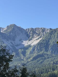
Matschacher Gupf
20.09.2025 – Wycieczki górskieFeistritz im Rosental, Kärnten/Österreich
31.08.2025 – Wędrówka
Feistritz im Rosental Wandern
08.02.2025 – Wycieczki górskieFeistritz im Rosental Wandern
08.02.2025 – Wycieczki górskieFeistritz im Rosental Wandern
17.11.2024 – Wycieczki górskieFeistritz im Rosental Wandern
17.11.2024 – Wycieczki górskie
Popularne wycieczki w okolicy
- 4,2
MTB-Tour zur Klagenfurter Hütte
średniMountainbike 12,6 km - 3,9
Tscheppaschlucht Ferlach
światłoWędrówka 5,90 km - 4,5
Pyramidenkogel path Maria Wörth
średniWędrówka 10,8 km - 4,4
Slow Trail Meerauge
światłoWędrówka 5,51 km - 4,3
Cycling around Lake Wörthersee – leisurely cycling between turquoise blue water and fantastic views
średniJazda na rowerze 48,2 km - 4,6
Water experience trail Hainschgraben
średniWędrówka 9,23 km - 4,3
From Bärental to the Kosiak (Klagenfurter Hut)
średniWędrówka 9,67 km - 4,7
Ogrisalm ab Bodenbauer, Kärnten/Österreich
światłoWycieczka narciarska 11,2 km - 4,5
Maria Rain-Petelinz-Kaiserhütte
światłoWędrówka 6,45 km - 3,9
Singerberg, über die Südseite
średniWędrówka 7,87 km

Wędrówki i tropienie


Nie przegap ofert i inspiracji na następne wakacje
Twój adres e-mail została dodana do listy mailingowej.





