


GS_W2 Golz via Kohlröslhütte
Zdjęcia naszych użytkowników
-
 © U KirschsteinUtworzono dnia 02.05.2026
 -
 © U KirschsteinUtworzono dnia 02.05.2026
 -
 © U KirschsteinUtworzono dnia 02.05.2026
 -
 © U KirschsteinUtworzono dnia 02.05.2026
 -
 © Dagmar HoferUtworzono dnia 01.01.2026
 -
 © Dagmar HoferUtworzono dnia 01.01.2026
 -
 © Andy CagranoUtworzono dnia 15.10.2025
 -
 © Andy CagranoUtworzono dnia 15.10.2025
 -
 © U KirschsteinUtworzono dnia 21.09.2025
 -
 © U KirschsteinUtworzono dnia 21.09.2025
 -
 © U KirschsteinUtworzono dnia 21.09.2025
 -
 © U KirschsteinUtworzono dnia 21.09.2025
 -
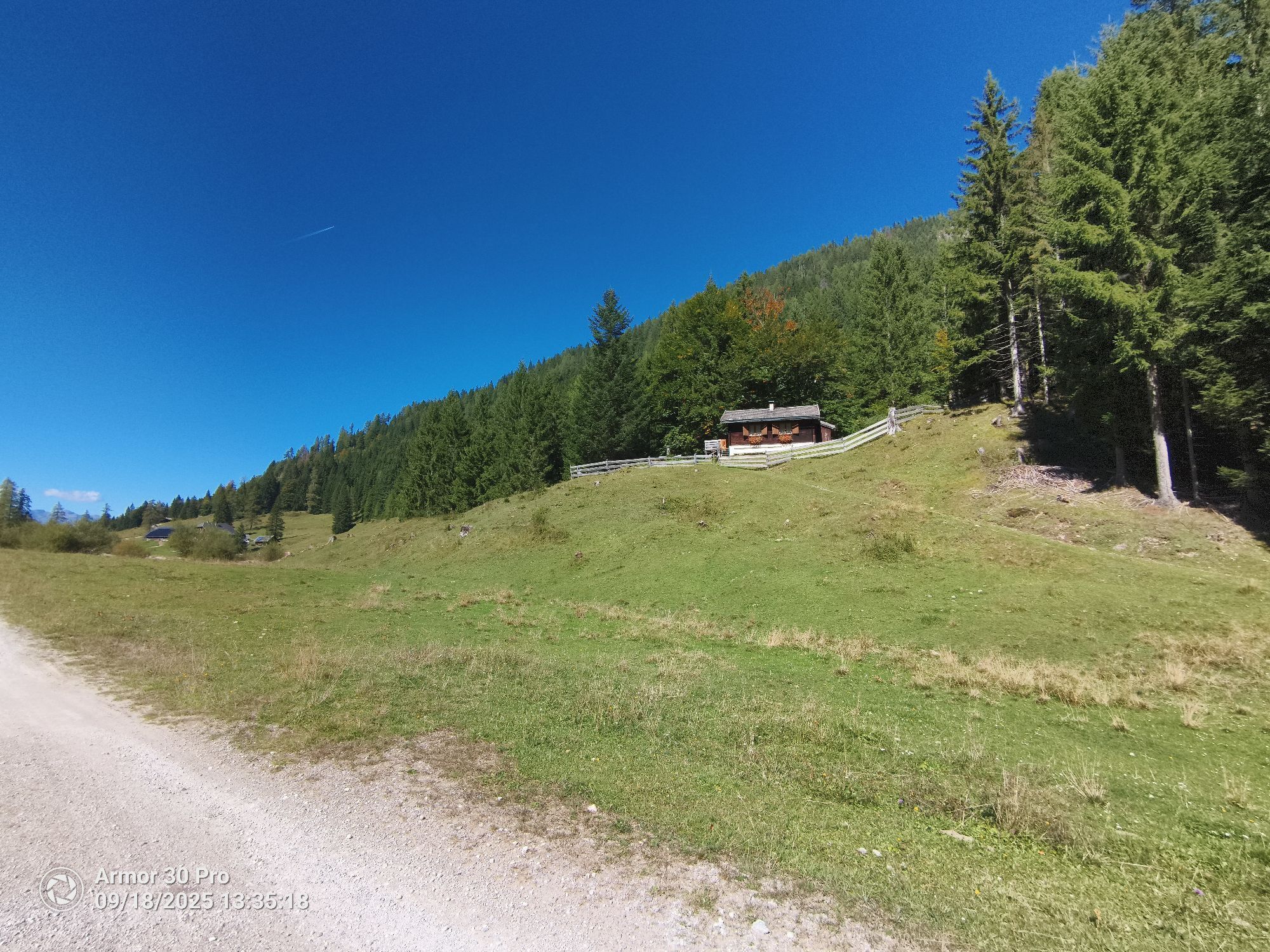
 © Peter Springer 1Utworzono dnia 18.09.2025
 -
 © Peter Springer 1Utworzono dnia 18.09.2025
 -
 © Peter Springer 1Utworzono dnia 18.09.2025
 -
 © Peter Springer 1Utworzono dnia 18.09.2025
 -
 © Peter Springer 1Utworzono dnia 18.09.2025
 -
 © Peter Springer 1Utworzono dnia 18.09.2025
 -
 © Peter Springer 1Utworzono dnia 18.09.2025
 -
 © Hubert WeinbergerUtworzono dnia 13.09.2025
 -
 © Hubert WeinbergerUtworzono dnia 13.09.2025
 -
 © Hubert WeinbergerUtworzono dnia 13.09.2025
 -
 © Hubert WeinbergerUtworzono dnia 13.09.2025
 -
 © Hubert WeinbergerUtworzono dnia 13.09.2025
 -
 © Hubert WeinbergerUtworzono dnia 13.09.2025
 -
 © LoderunnerUtworzono dnia 22.07.2025
 -
 © Dagmar HoferUtworzono dnia 21.04.2025
 -
 © Dagmar HoferUtworzono dnia 31.07.2024
 -

 © Corinna W.Utworzono dnia 01.06.2023
 -

 © treniat69Utworzono dnia 30.07.2025
 -
 © Andrey OkonetchnikovUtworzono dnia 06.04.2024
 -
 © Andrey OkonetchnikovUtworzono dnia 06.04.2024
 -
 © Andrey OkonetchnikovUtworzono dnia 06.04.2024
 -
 © Maik KramerUtworzono dnia 18.08.2023
 -
 © Maik KramerUtworzono dnia 18.08.2023
 -
 © Maik KramerUtworzono dnia 18.08.2023
 -
 © Nol van der LindenUtworzono dnia 04.02.2026
 -

 © Gerry Grimmer 1Utworzono dnia 06.11.2025
 -
 © Gerry Grimmer 1Utworzono dnia 06.11.2025
 -
 © Gerry Grimmer 1Utworzono dnia 06.11.2025
 -
 © Gerry Grimmer 1Utworzono dnia 06.11.2025
 -

 © Astrid RETLUtworzono dnia 04.10.2025
 -
 © Astrid RETLUtworzono dnia 04.10.2025
 -

 © AMOUtworzono dnia 27.08.2025
 -
 © Heinz SperlUtworzono dnia 21.07.2024
 -
 © Heinz SperlUtworzono dnia 20.07.2024
 -
 © Heinz SperlUtworzono dnia 20.07.2024
 -
 © Heinz SperlUtworzono dnia 20.07.2024


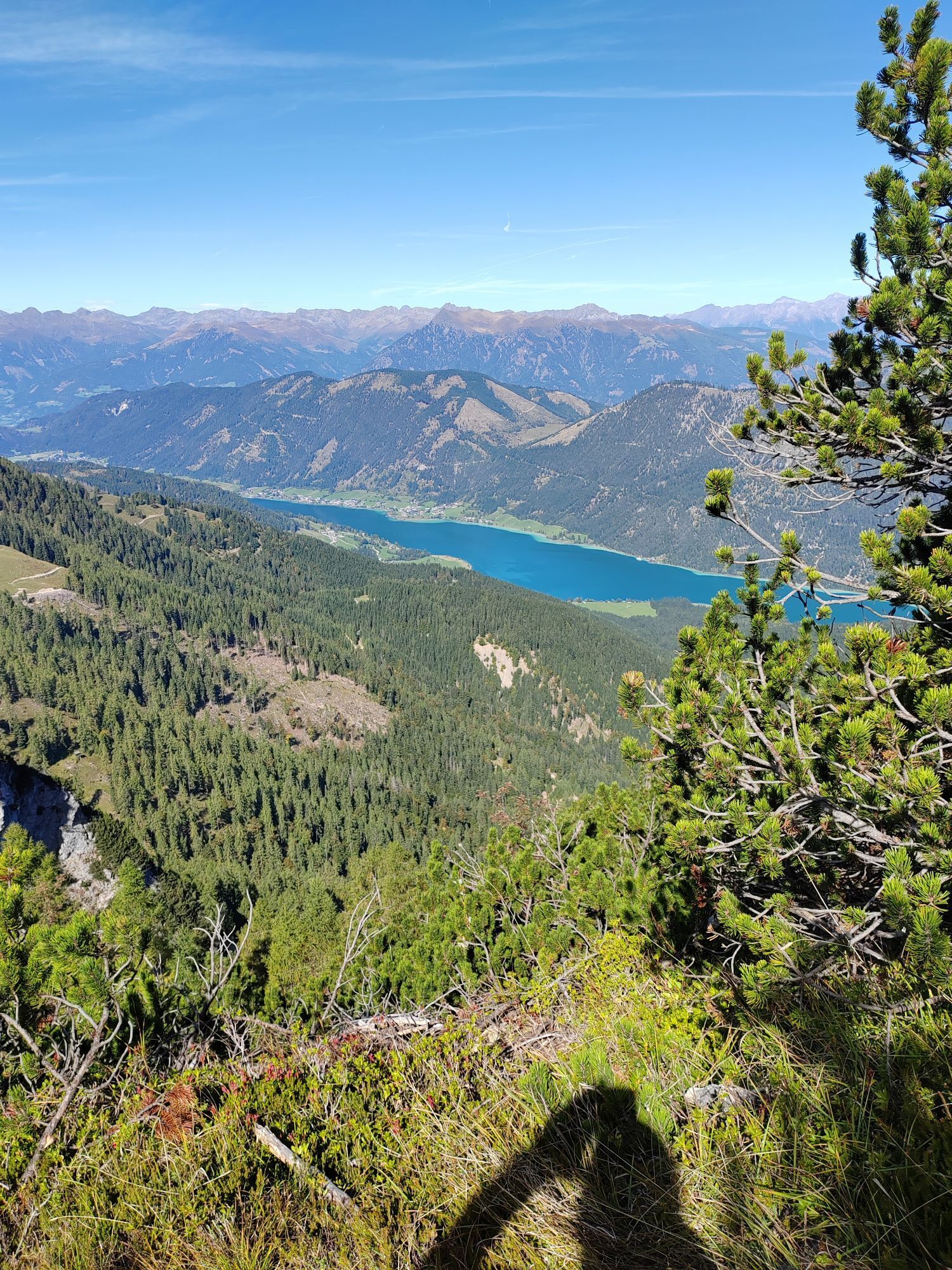

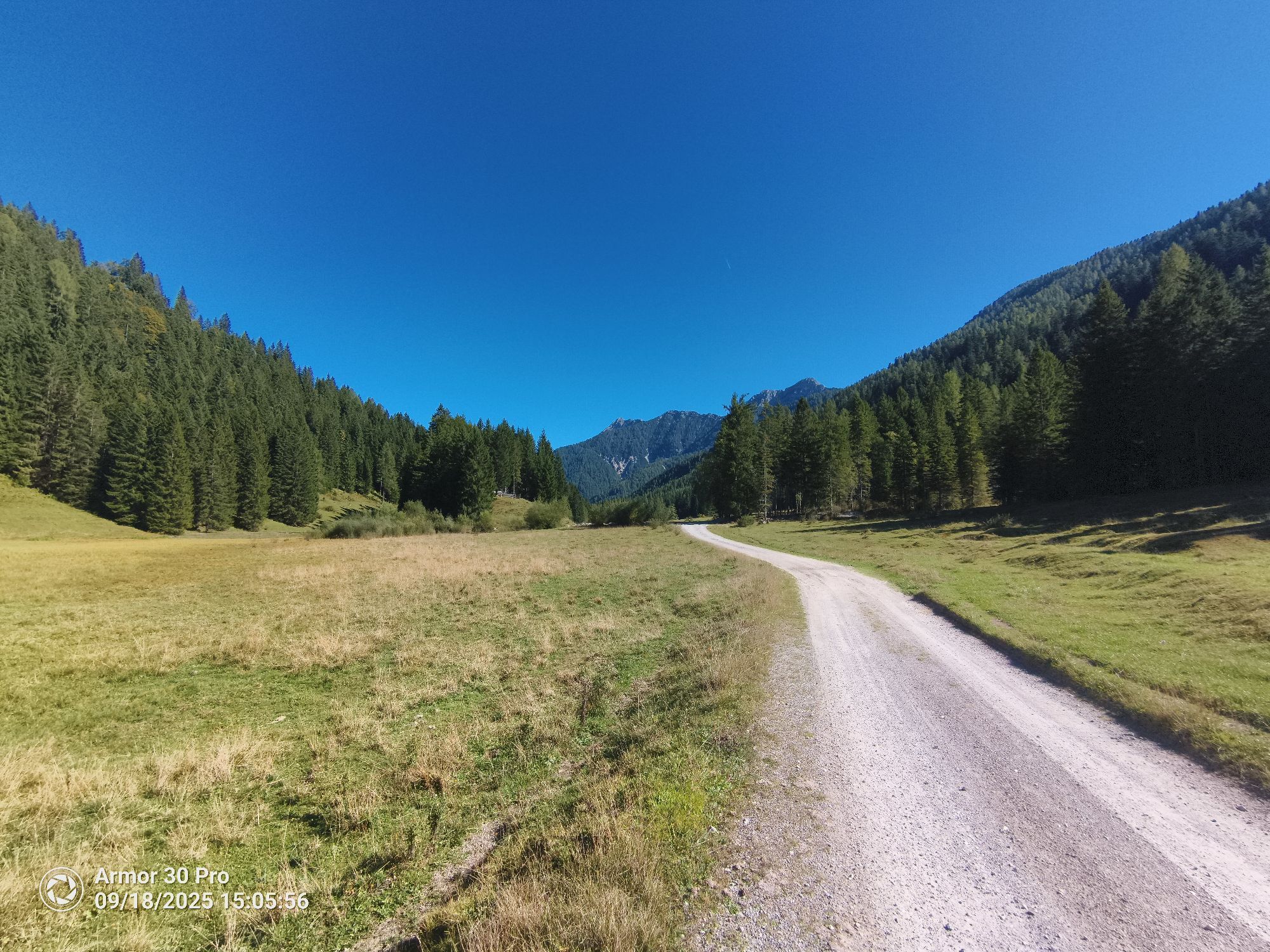


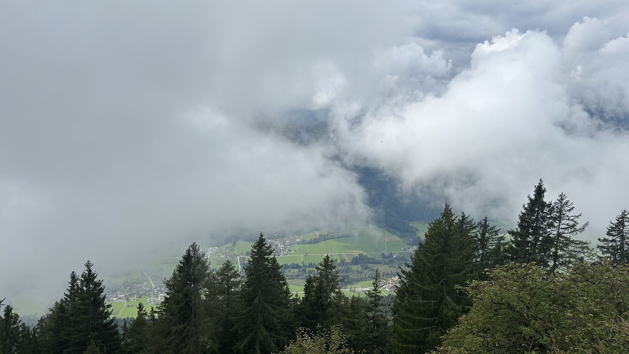


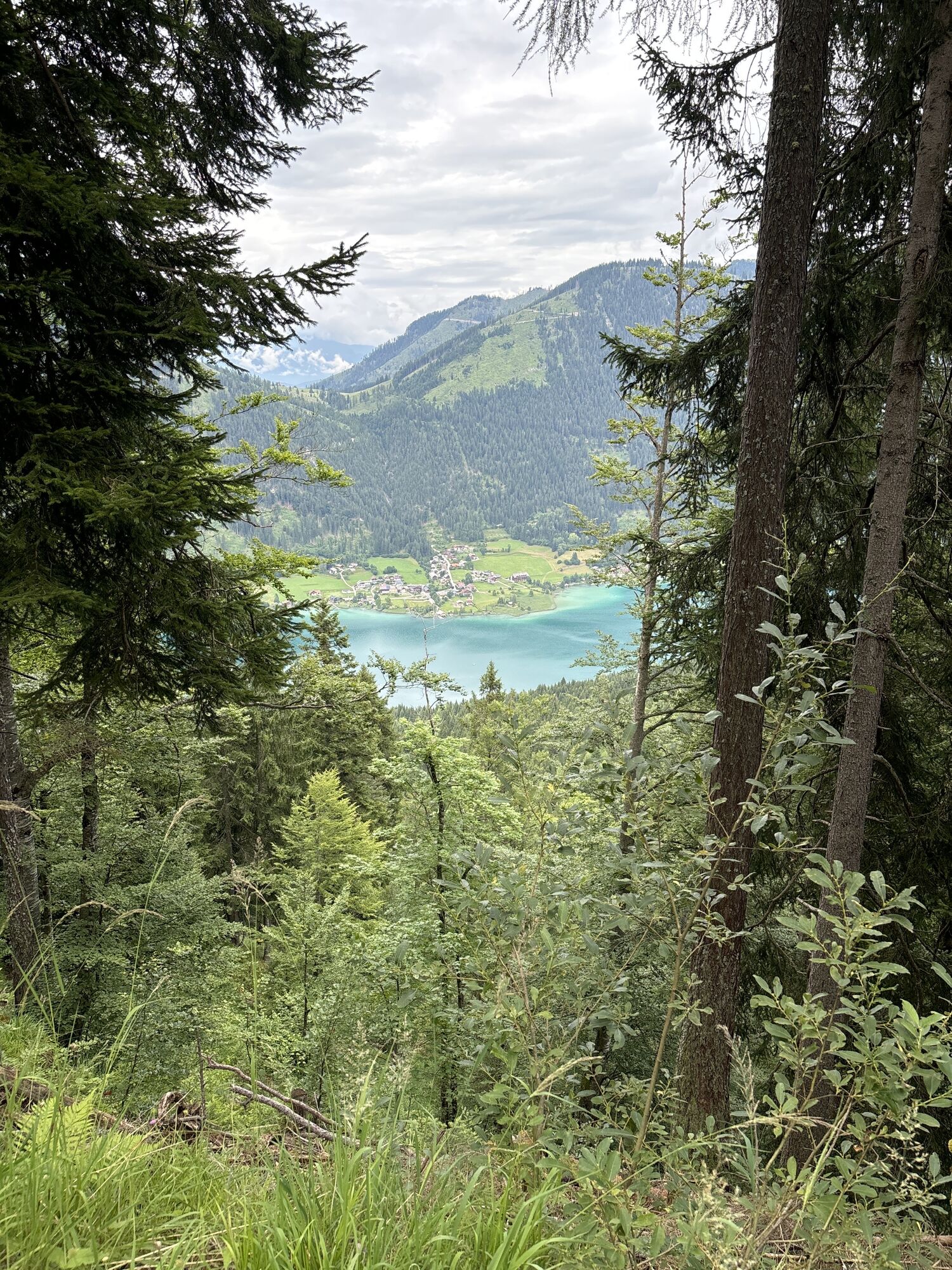


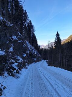
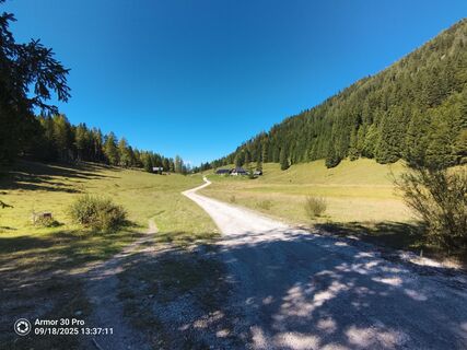
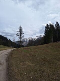
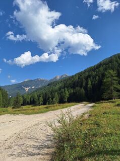
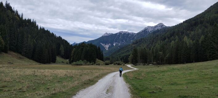
Start at the valley station of the Weissensee cable car: over the forest road to the Naggler Alm. Alternatively, this section can be covered by cable car. From the Naggler Alm, continue southeast. After...
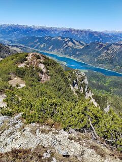
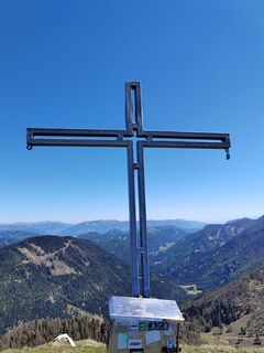
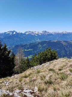
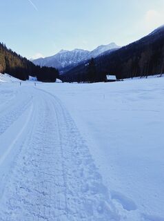
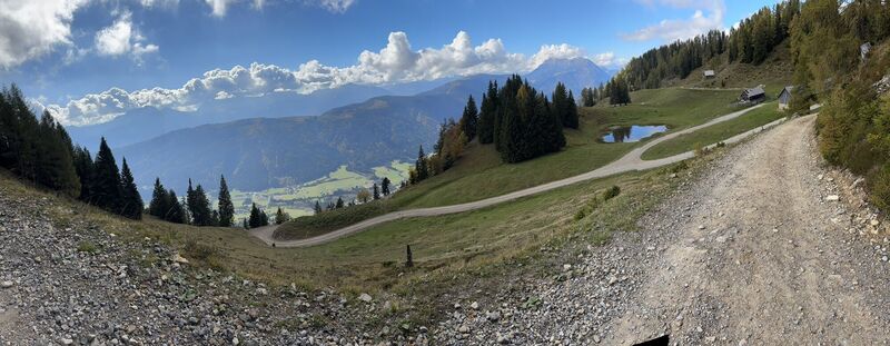
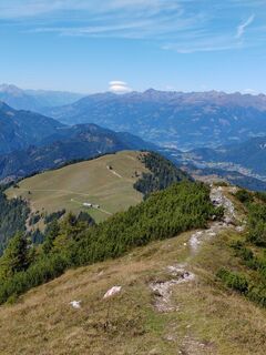
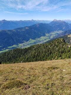
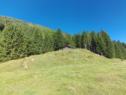
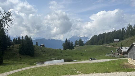
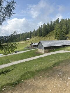
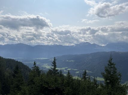
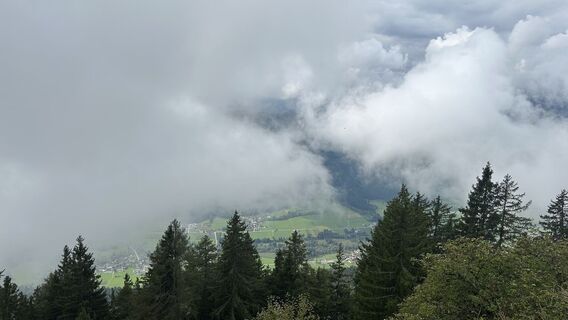
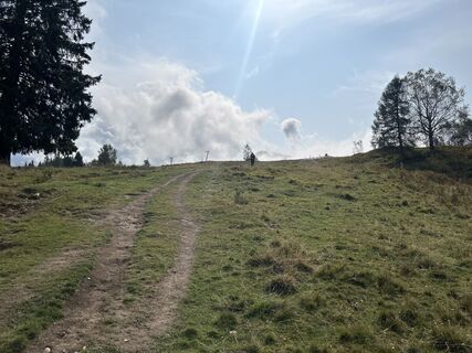
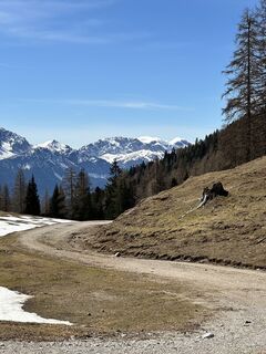
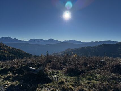
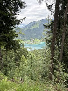
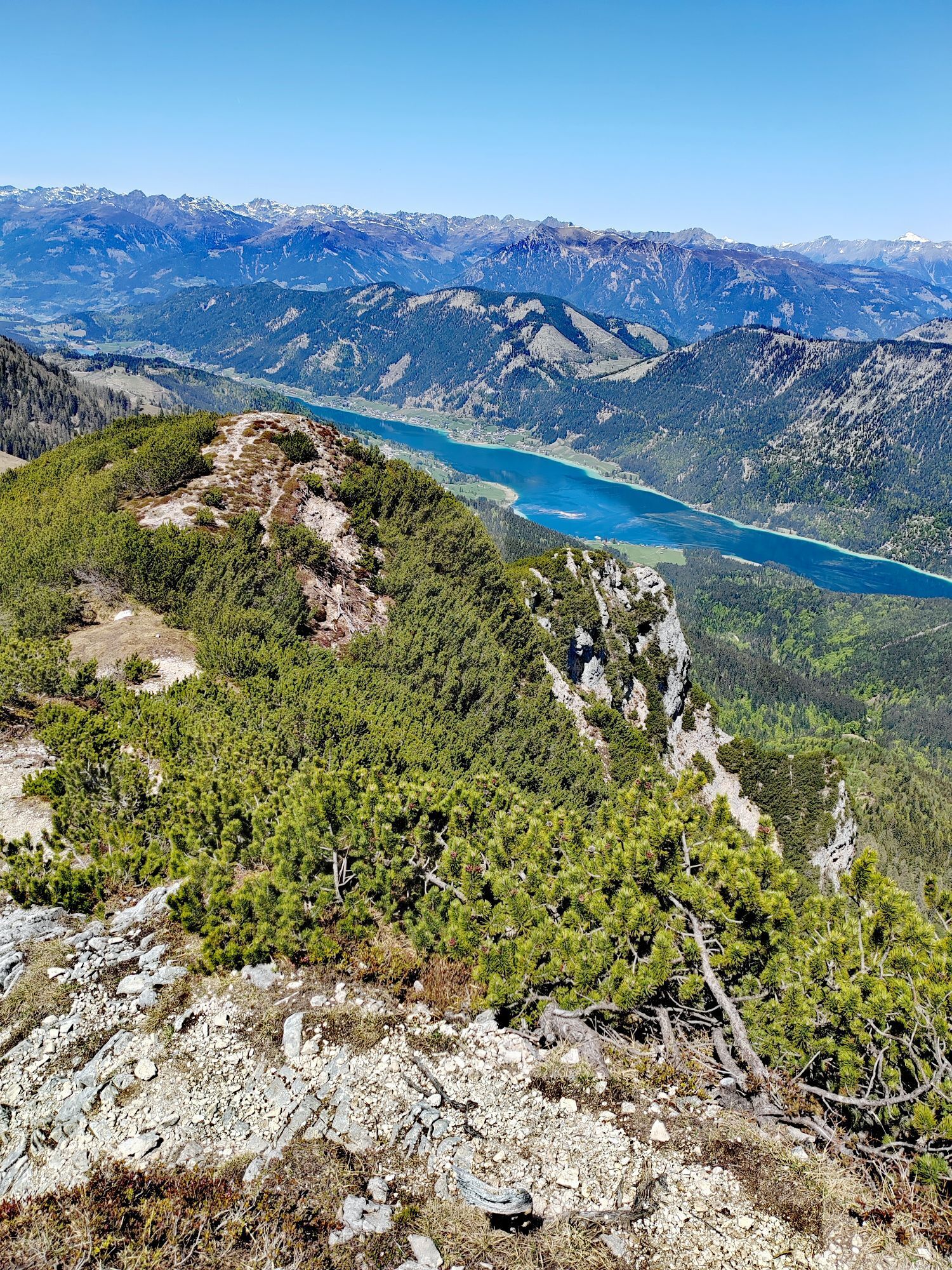
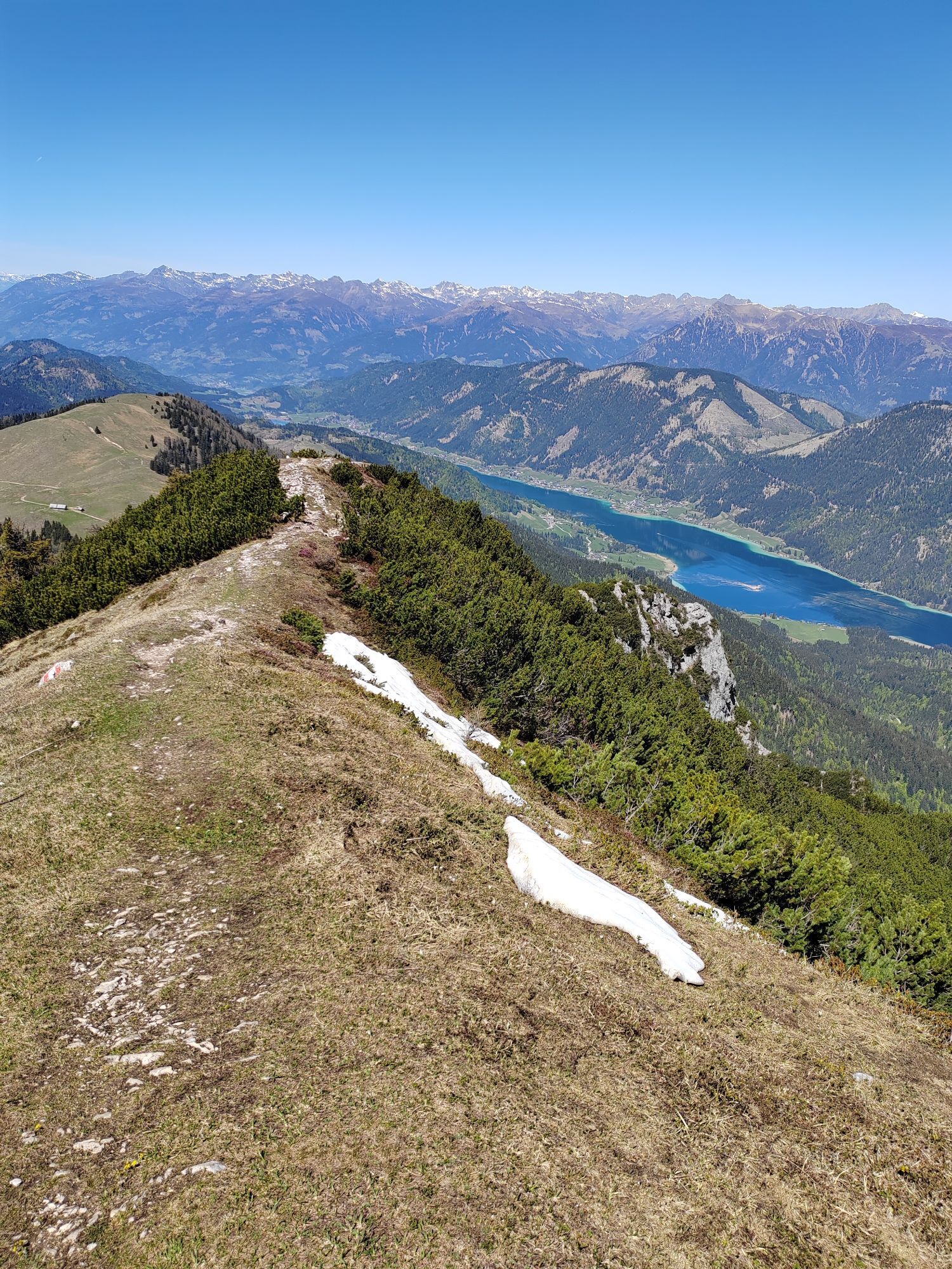
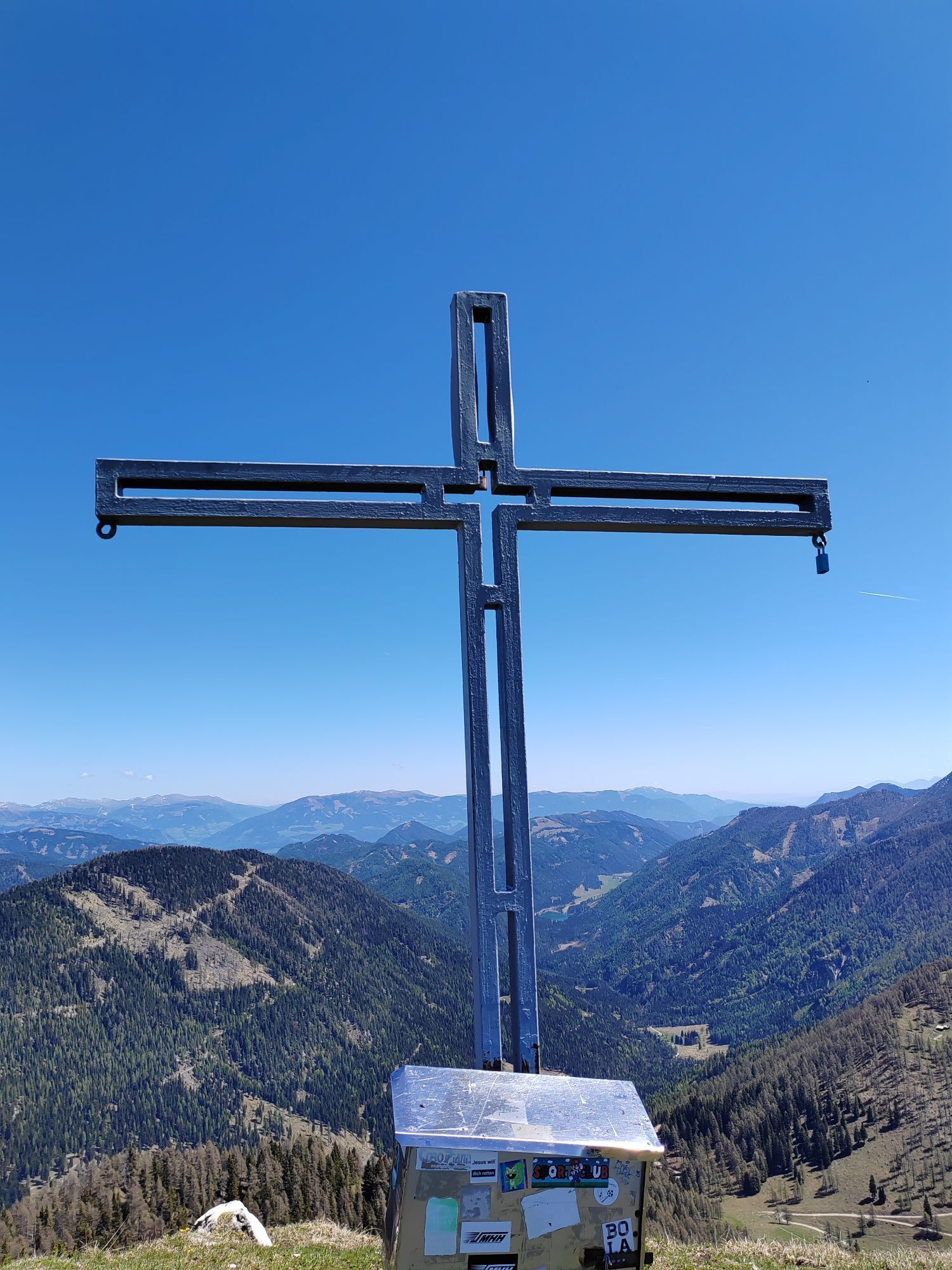
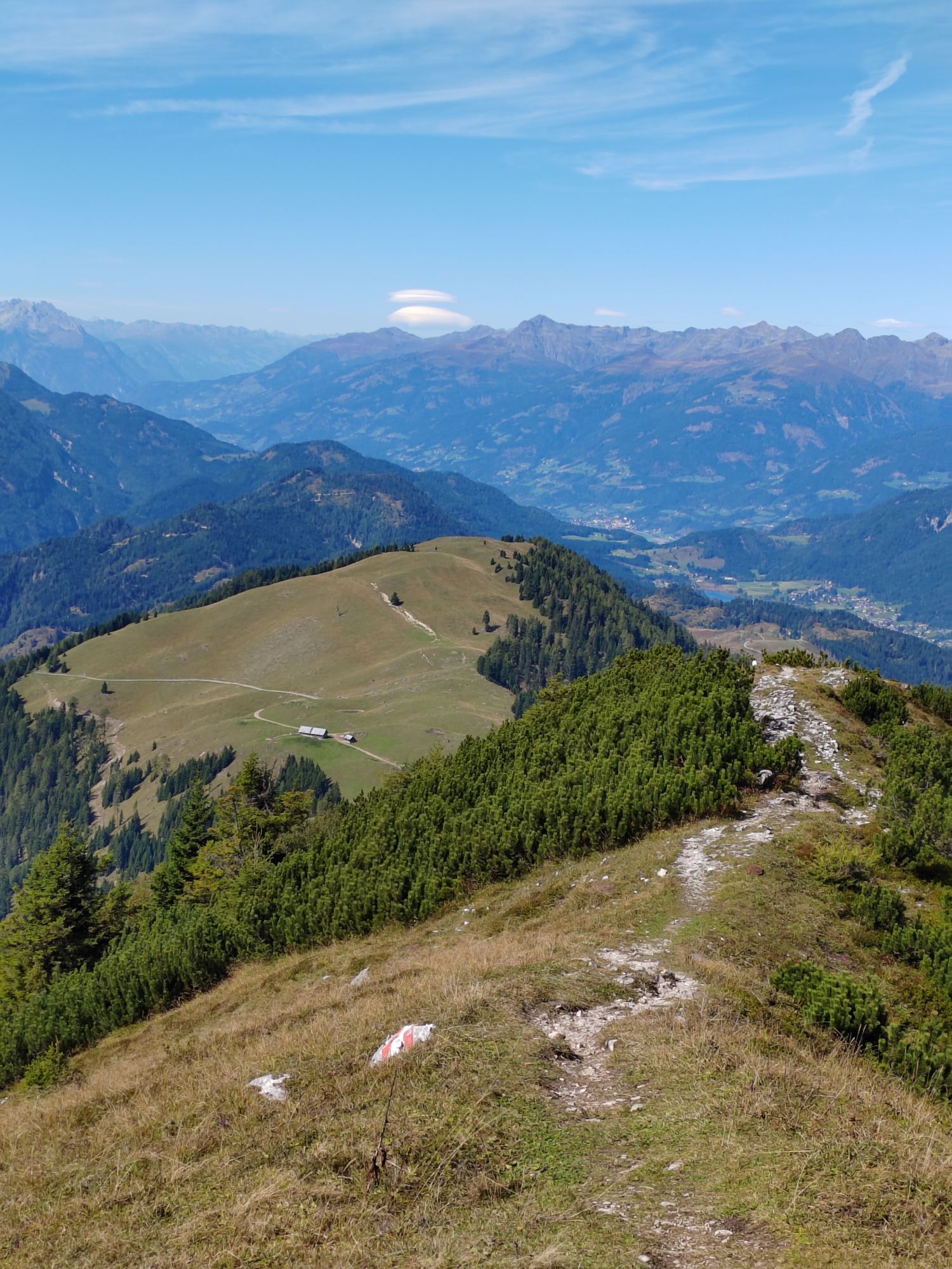
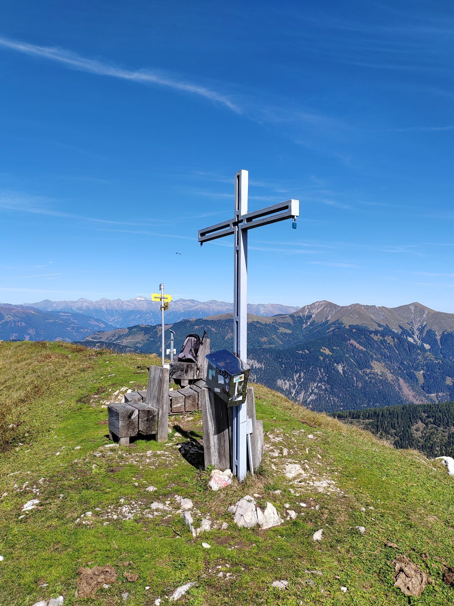
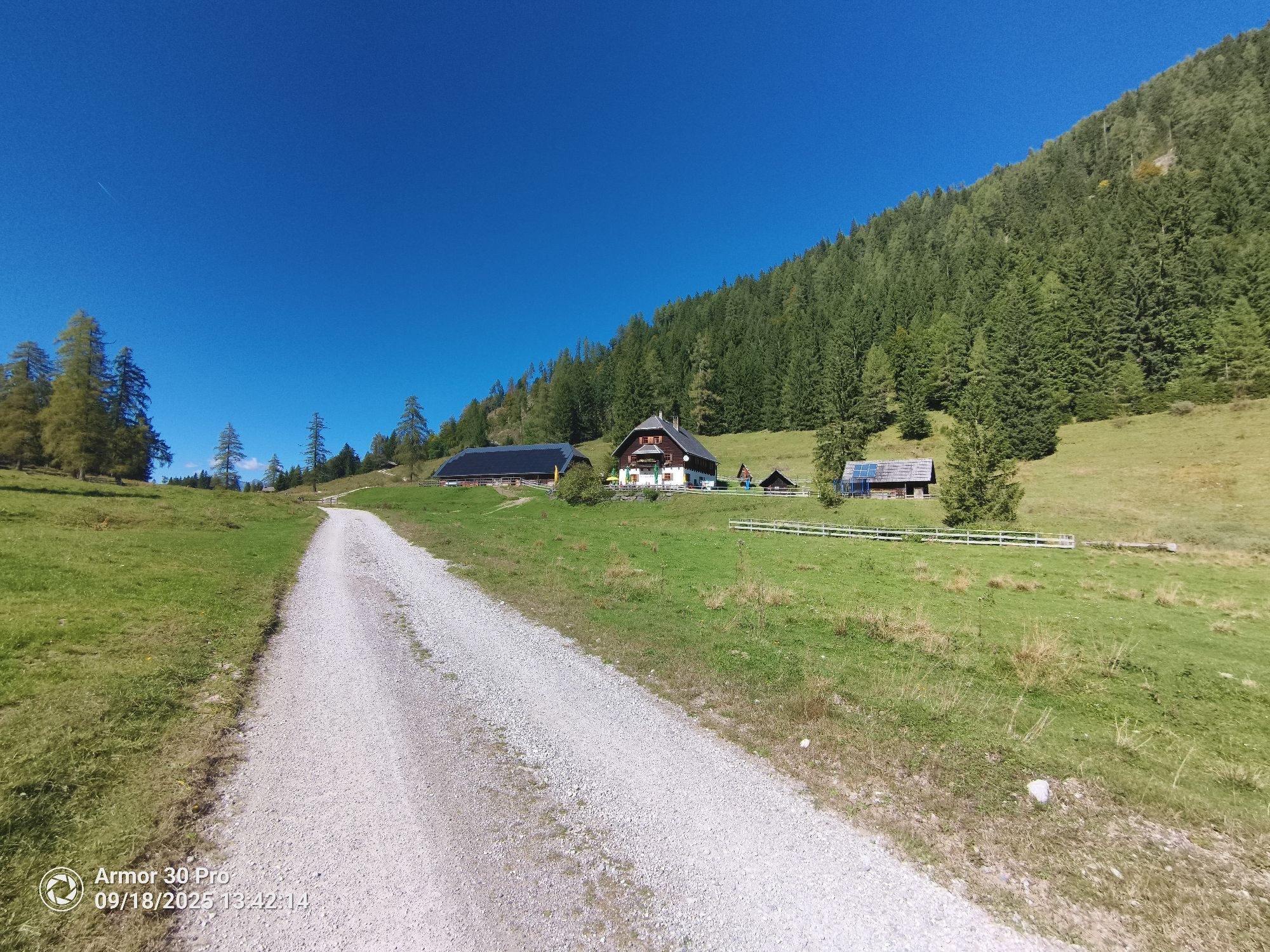
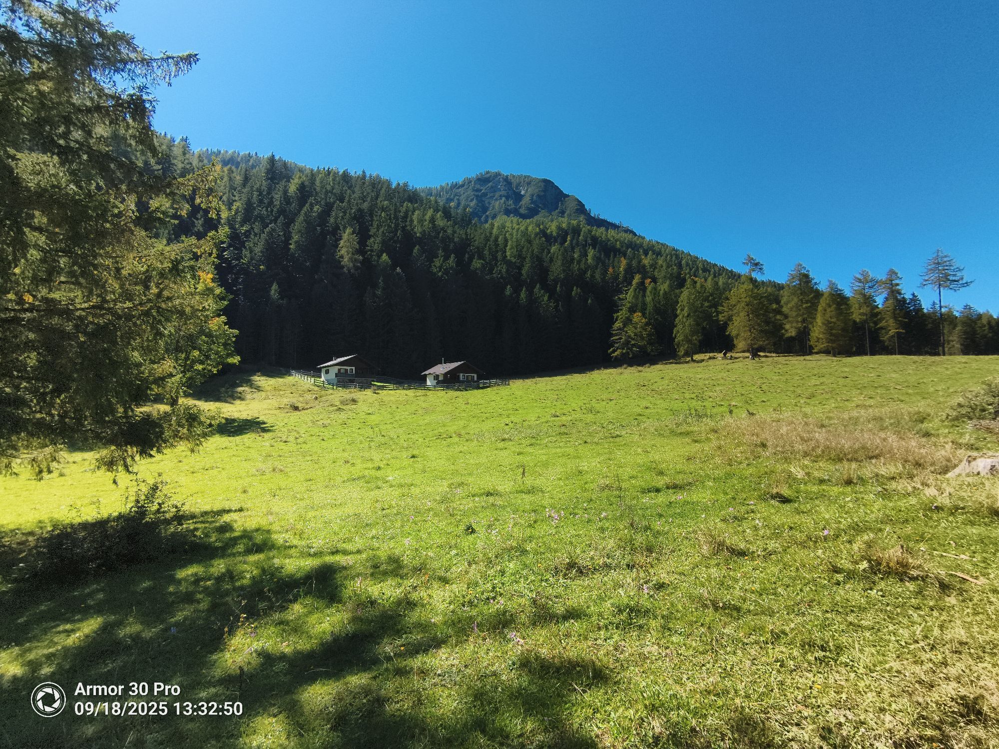
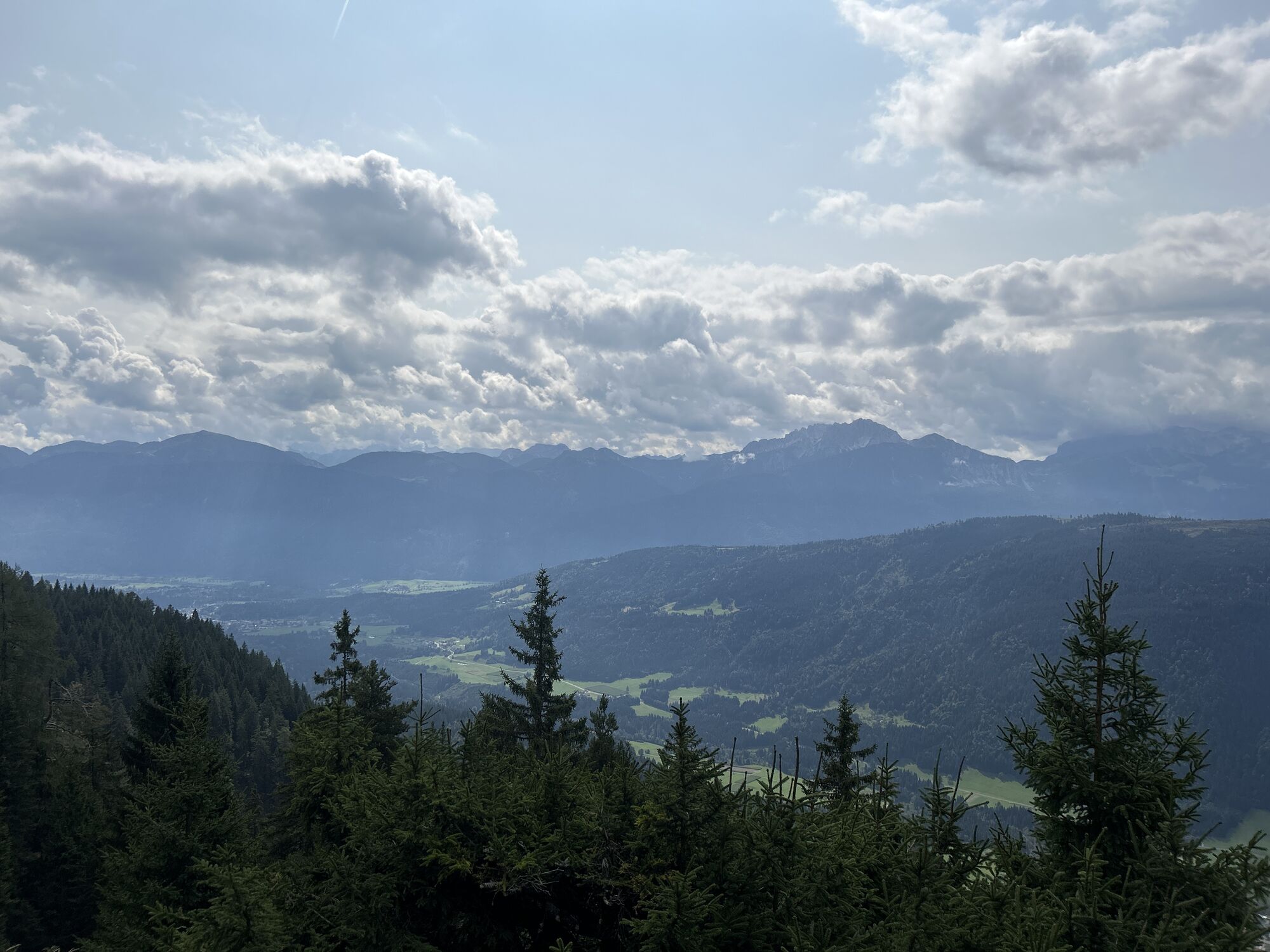
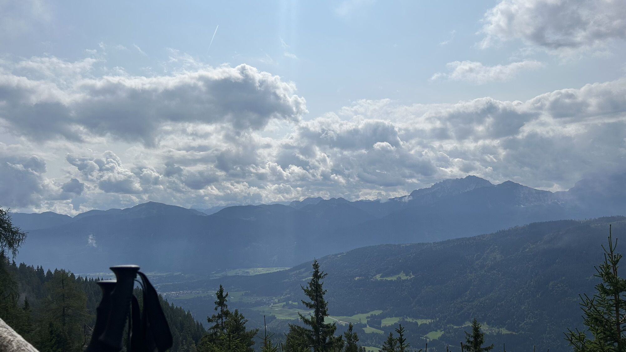
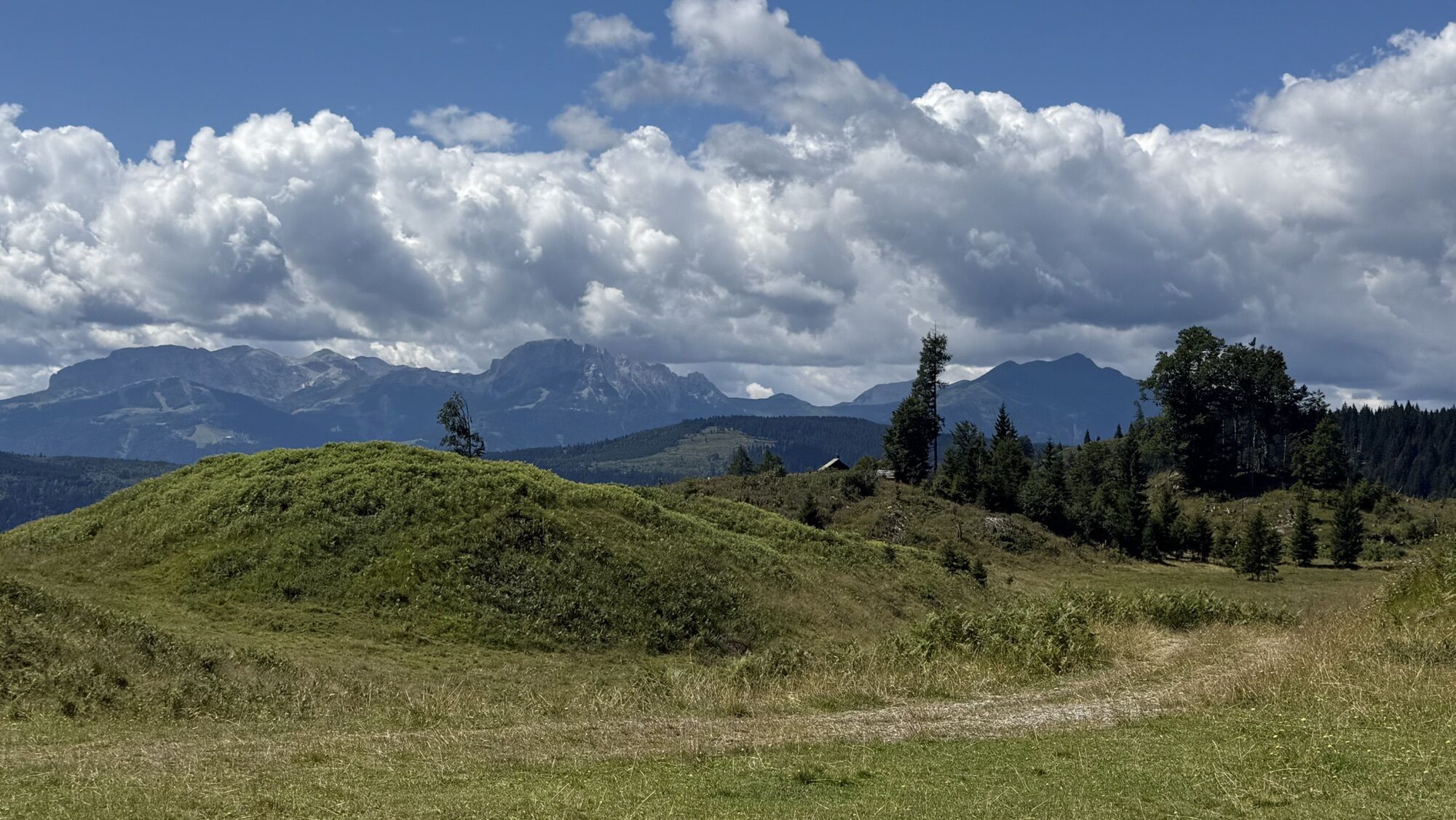
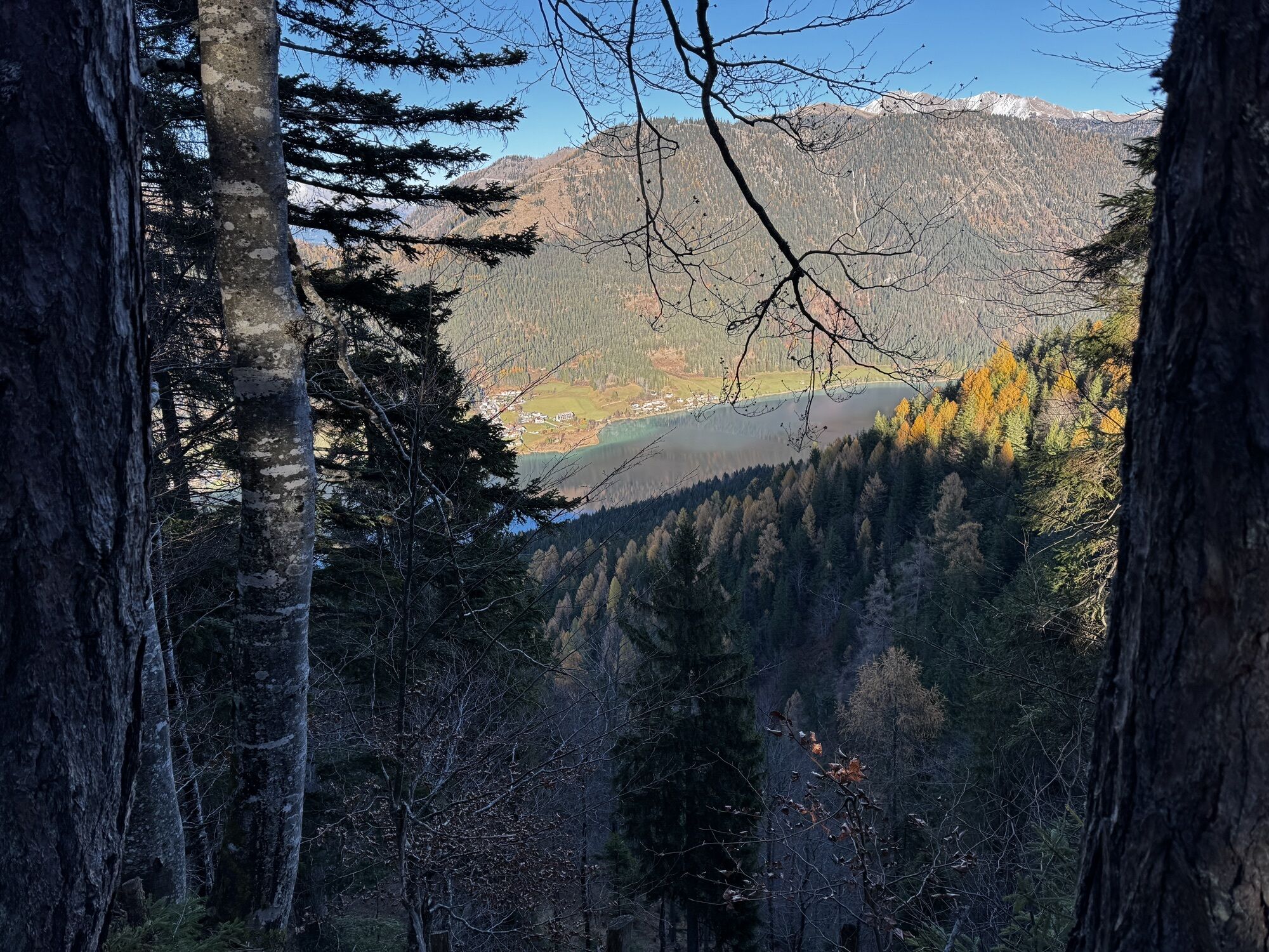
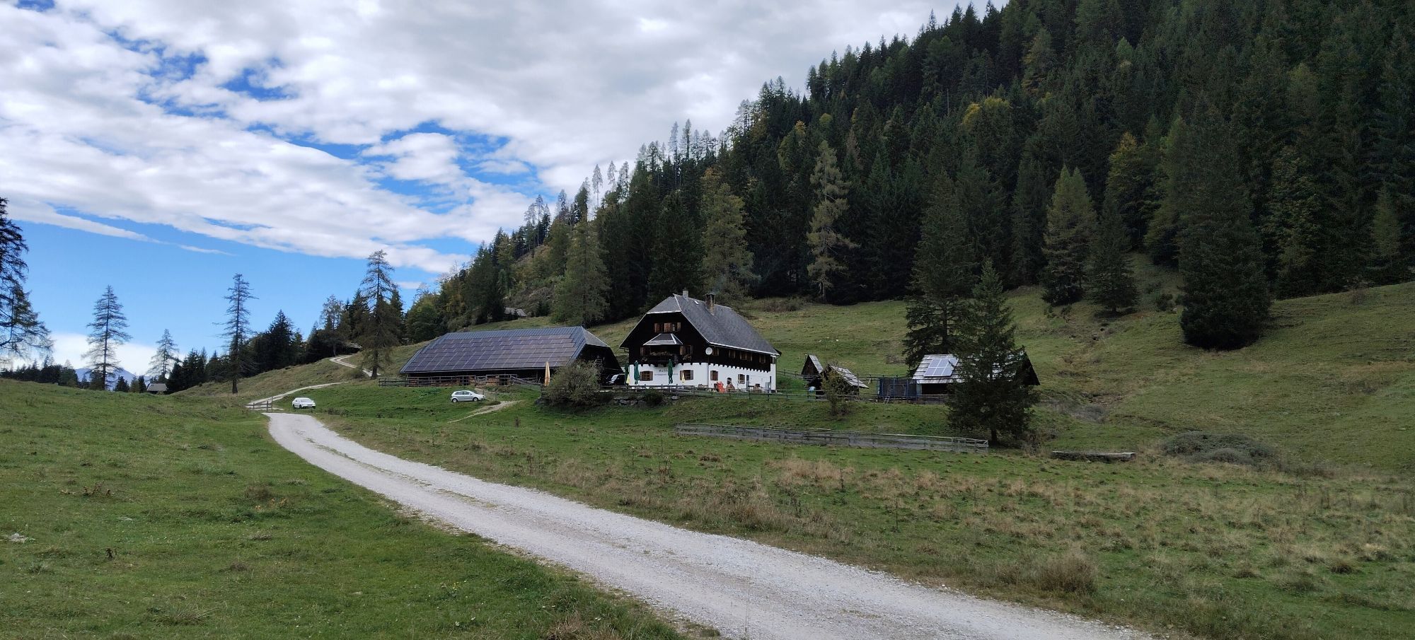
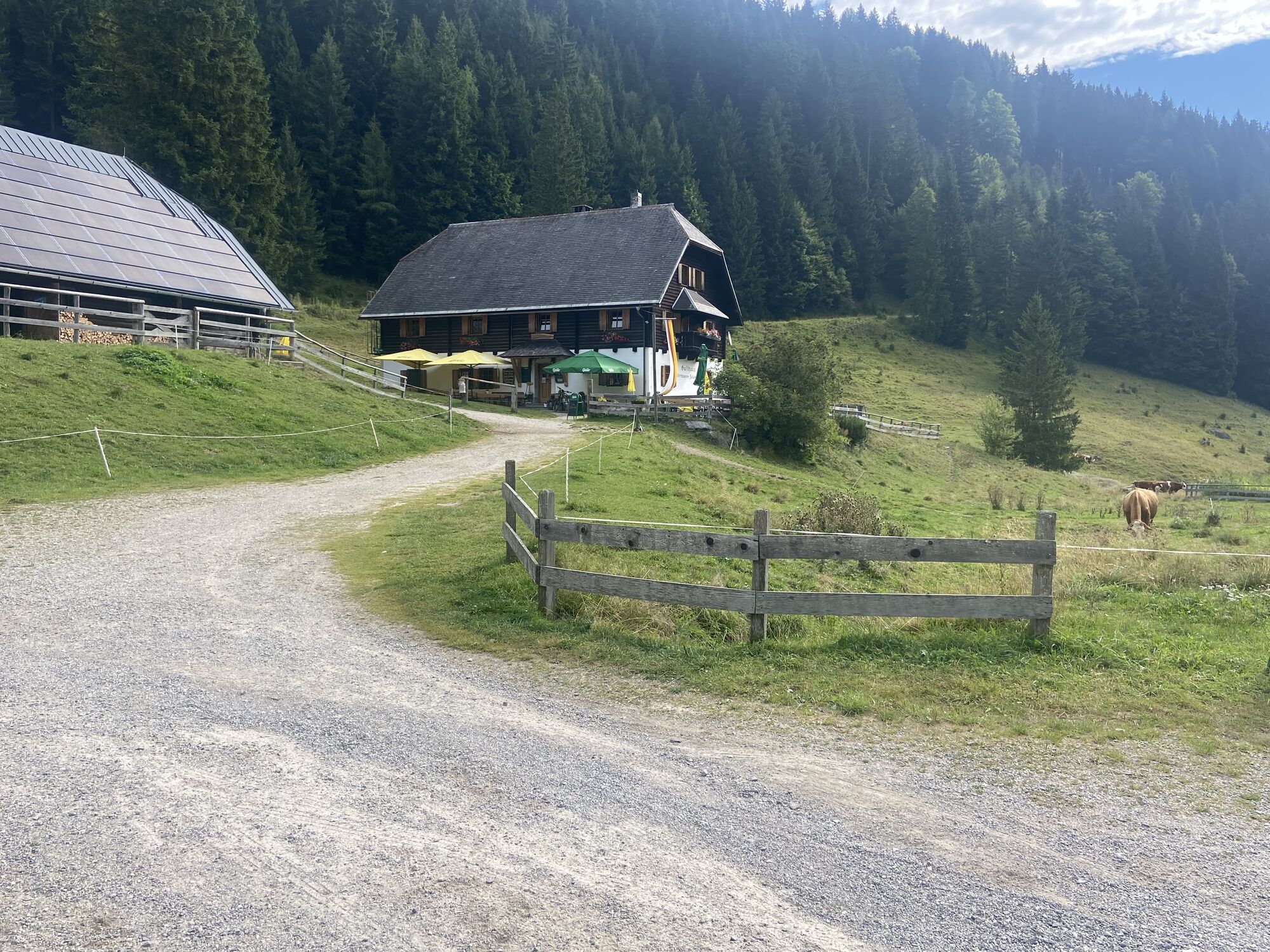
Start at the valley station of the Weissensee cable car: over the forest road to the Naggler Alm. Alternatively, this section can be covered by cable car. From the Naggler Alm, continue southeast. After about 1 hour you reach the Kohlröslhütte. From here the path leads up to the Sattelköpfen and finally as a narrow trail from the west to the highest point of the round: the summit of Golz. Located at 2004 meters above sea level. Here you can enjoy the view over the Carnic Alps and the Gail valley before descending eastwards towards Radninger Alm.
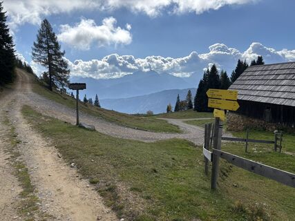
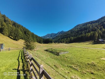
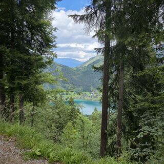
After another three-quarters of an hour downhill, you arrive at the Bodenalm and from there over forest roads back down to the lake. From the boat dock Paterzipf you can then return by Weissensee boat to Techendorf.


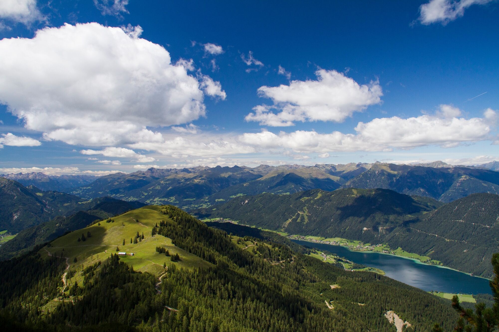
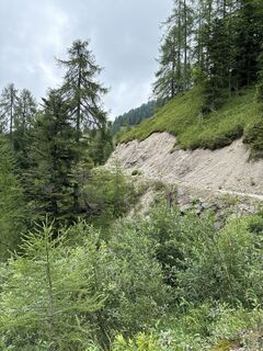
From the mountain station of the Weissensee cable car, follow the local path 16 east to the Naggeralmhaus. The mountain station is easily accessible by chairlift or alternatively via the forest road to Naggler Alm. Passing the Drachsel-Bildstock, the forest road is crossed. The trail leads uphill through the forest to the Gaisrücken. After the Gaisrücken, the path leads to the Kohlröselhütte. From the hut, it continues uphill past the Großboden and to the Sattelköpfen. After that, the summit ascent begins.
Tak
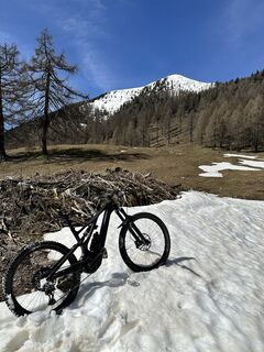
Good footwear, take a backpack with enough water.
Surefootedness required and freedom from dizziness an advantage.
Arrival:
From the north (D, NL, B, L, DK, SK): 1) Munich - Salzburg - Tauern Motorway (A10) - Spittal junction - Greifenburg - Weissensee
2) Munich - Salzburg - Badgastein (train loading - Tauern lock) - Mallnitz - Möllbrücke - Greifenburg - Weissensee
3) Munich - Großglockner High Alpine Road - Heiligenblut - Winklern - Iselsberg - Oberdrauburg - Greifenburg - Weissensee
4) Munich - Mittersill - Felbertauern Road - Lienz - Oberdrauburg - Greifenburg - Weissensee
From the west (CH, F, I): Innsbruck - Mittersill - Felbertauern Road or Brenner Motorway - Lienz - Oberdrauburg - Greifenburg - Weissensee
From the east (A, H): 1) Southern Motorway (A2) - Villach - Spittal - Greifenburg - Weissensee or Villach - towards Italy to the Hermagor/Gailtal exit - Hermagor - Weissensee 2) Western Motorway (A1) - Salzburg - Tauern Motorway (A10) - Spittal junction - Greifenburg - Weissensee
From the south (I, SLO, HR): 1) Udine - Tarvisio - Hermagor/Gailtal exit - Hermagor - Weissensee 2) Ljubljana - Karawanken tunnel - Villach - towards Italy to the Hermagor/Gailtal exit - Hermagor – Weissensee
...by train
Travel comfortably and stress-free by train! Use the train station shuttle service - it takes you from Greifenburg station to the Naturpark Weissensee, which is 10 km away. Reservations for the shuttle at: www.naturparkshuttle.com (reservation no later than 6 pm the day before)
At the Weissensee cable car valley station - fee required.
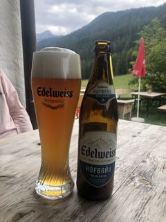
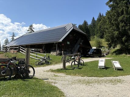
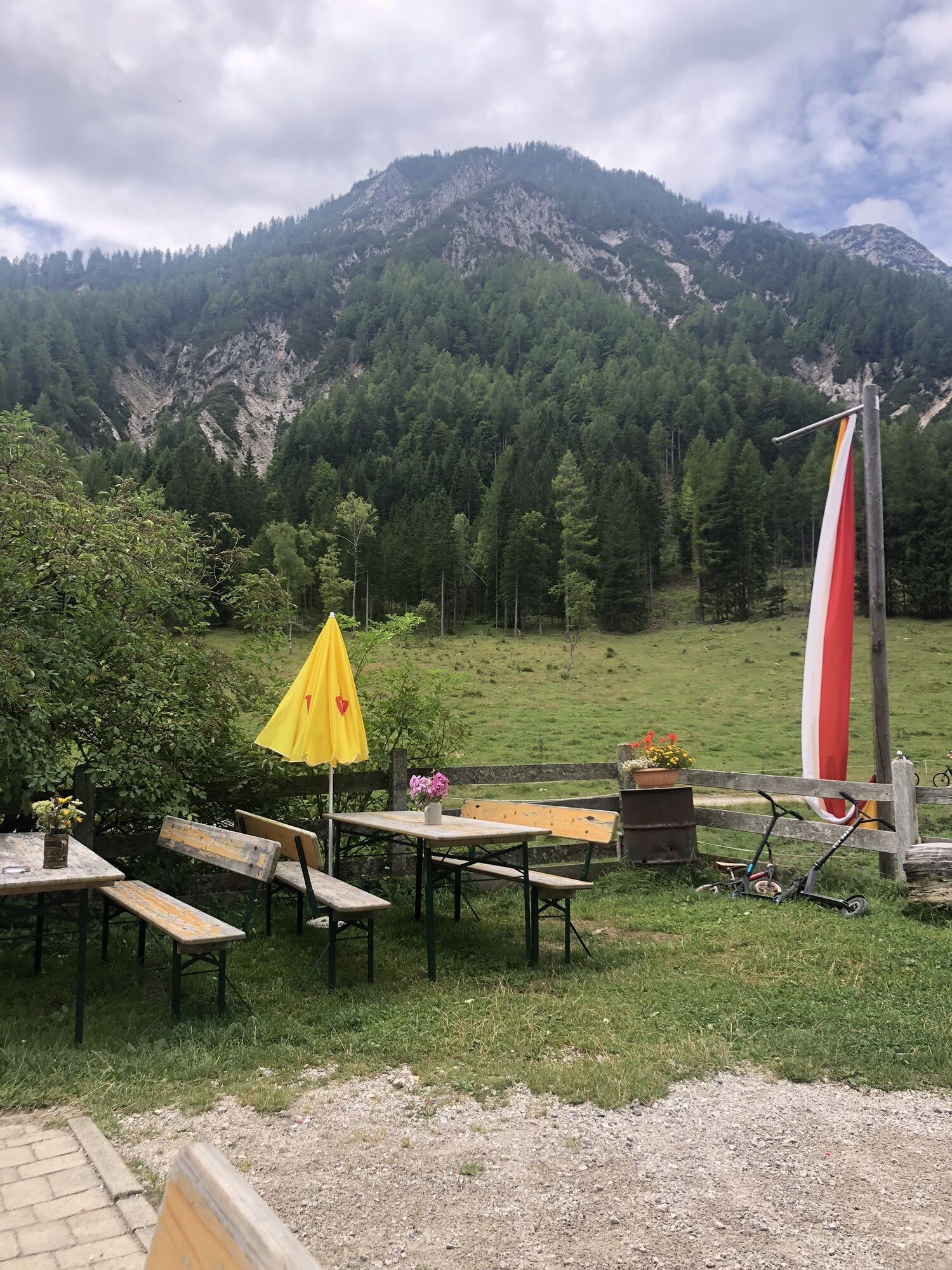
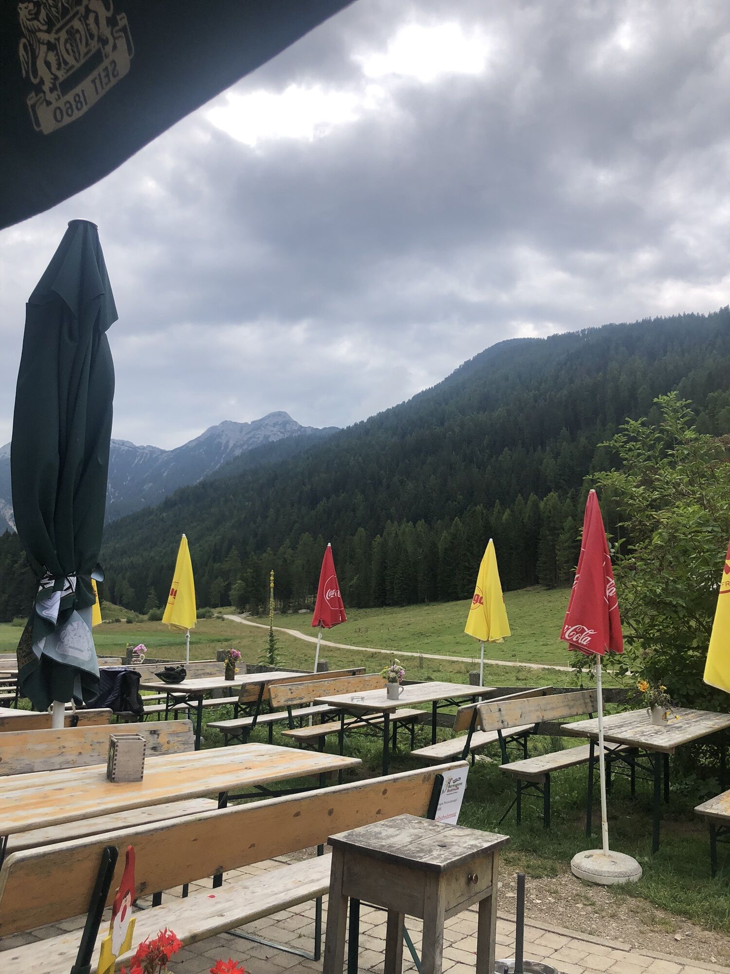
Try the delicious filled meat noodle at the Kohlröslhütte or the homemade alpine cheese at the Bodenalm.
Popularne wycieczki w okolicy
-
4,9
W10 - Large lake round - Weissensee
ciężkiMountainbike 31,5 km -
4,8
Parkplatz Seetal - STAFF und retour
średniWędrówka 13,2 km -
5,0
RW_N9 Weißenbachklamm
średniWędrówka 7,49 km -
4,9
Weissensee Ost- nach Westufer
światłoWędrówka 10,2 km -
4,6
W5 - Naggler Alm Round Weissensee
średniMountainbike 15,8 km -
5,0
Bodenalm - Ostufer - mit dem Schiff zurück
Mountainbike 19,1 km -
4,2
RW_N16 Slow Trail Pressegger See
światłoWędrówka 5,73 km -
4,9
Weißenbachklamm
ciężkiWędrówka 5,80 km -
4,4
WY_W2 hike to the Alm behind the Brunn
średniWędrówka zimą 3,04 km -
5,0
ST_N7 Gartnerkofel (2,195 m)
Wycieczka narciarska 3,94 km
Wędrówki i tropienie


Nie przegap ofert i inspiracji na następne wakacje
Twój adres e-mail została dodana do listy mailingowej.