






St. Paul: Cultural Circular Trail 1
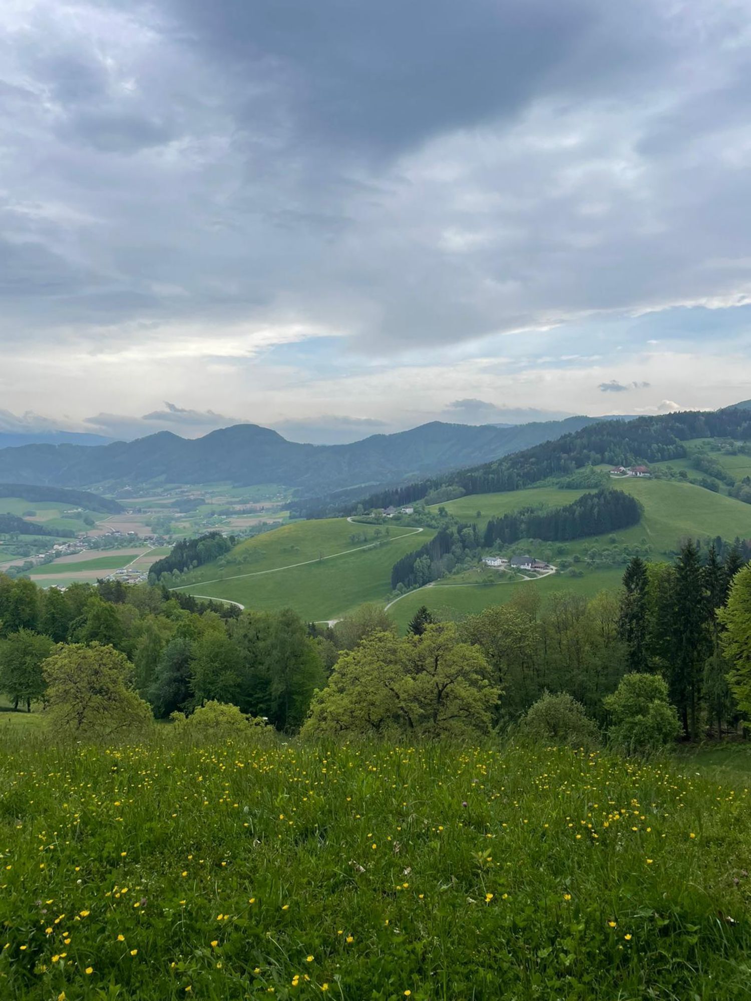
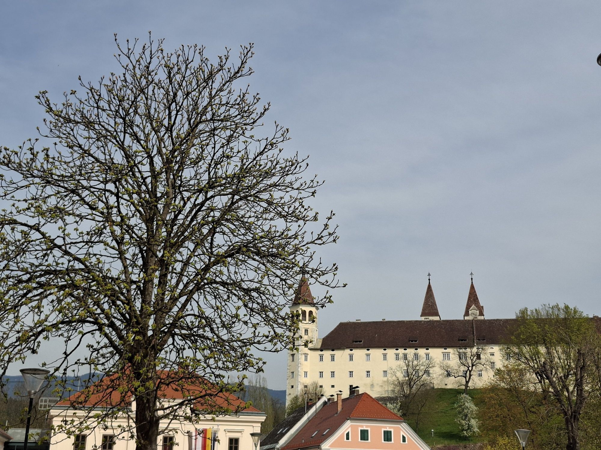
St. Paul in Lavant Valley, with its well-known Benedictine abbey, is the start and end point of this scenic as well as cultural circular route.
First, the hike leads via Deutsch-Grutschen up to the Ebenwald...
St. Paul in Lavant Valley, with its well-known Benedictine abbey, is the start and end point of this scenic as well as cultural circular route.
First, the hike leads via Deutsch-Grutschen up to the Ebenwald forest.
Then it goes downhill into the beautiful Granitztal. The valley is considered one of the fruit-growing regions of the Lavant Valley and is especially a secret tip during the fruit blossom season. As a conclusion, it is worth making a detour to the abbey museum with its many precious treasures.

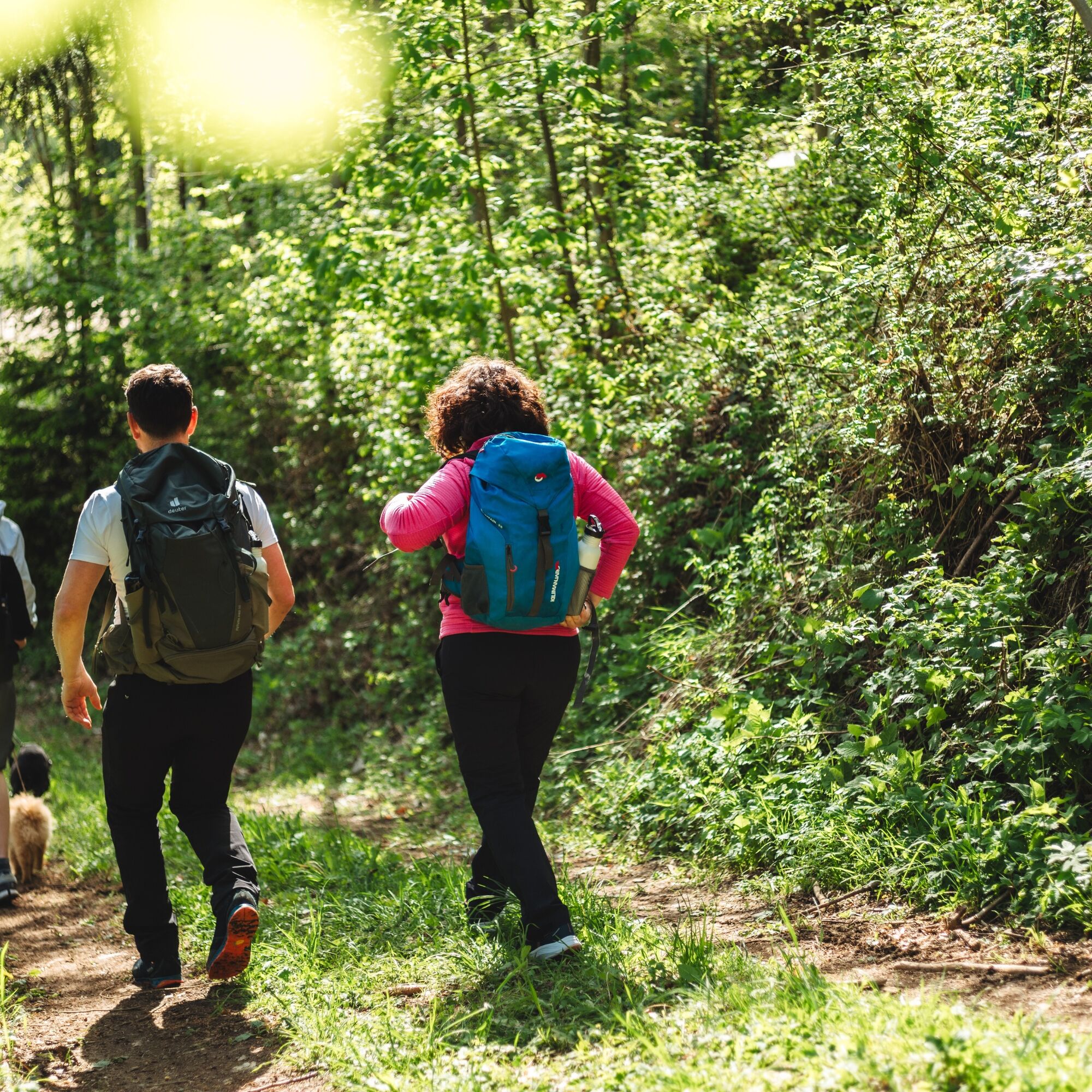
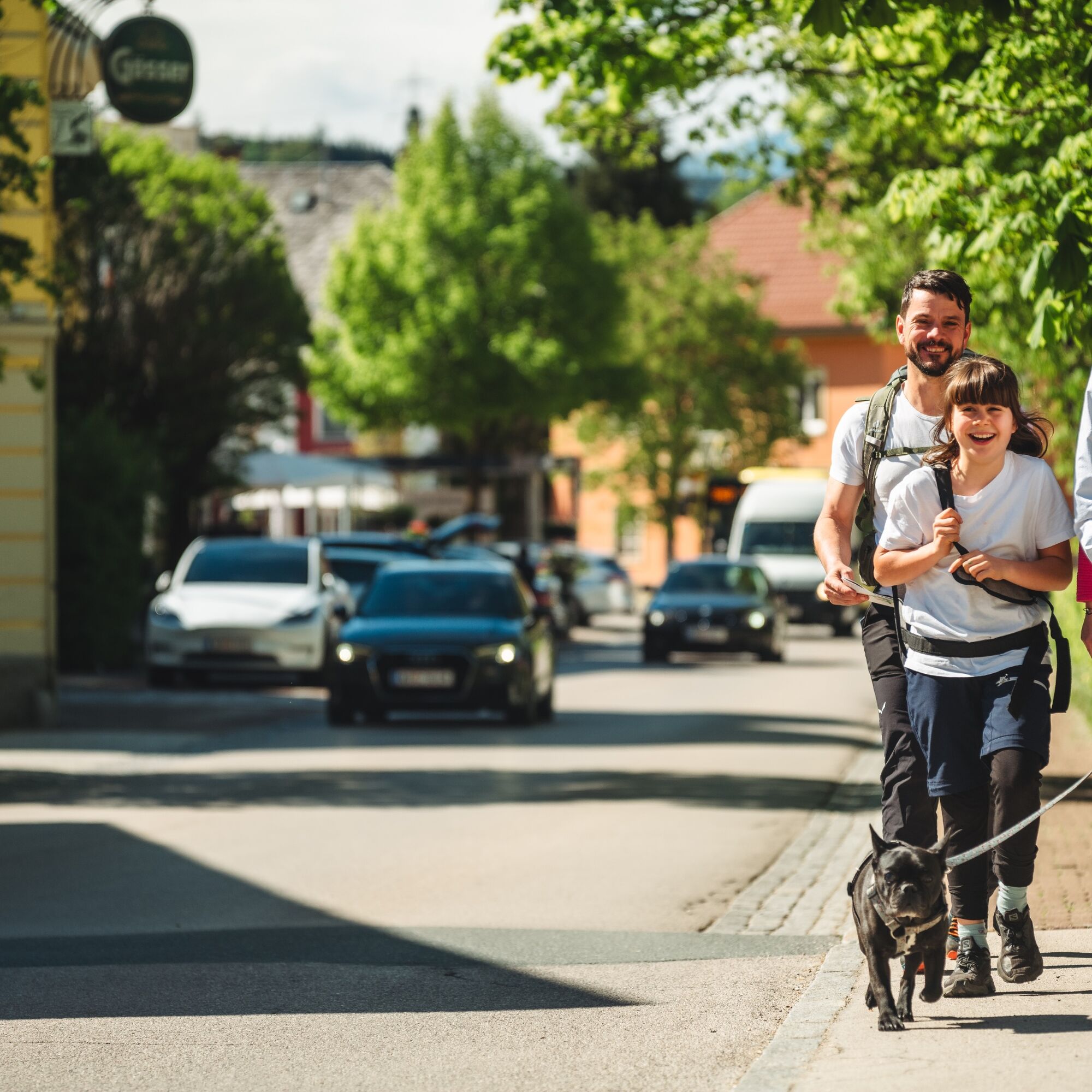
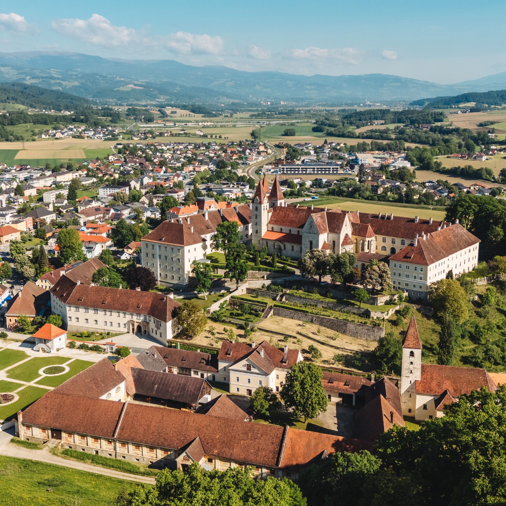
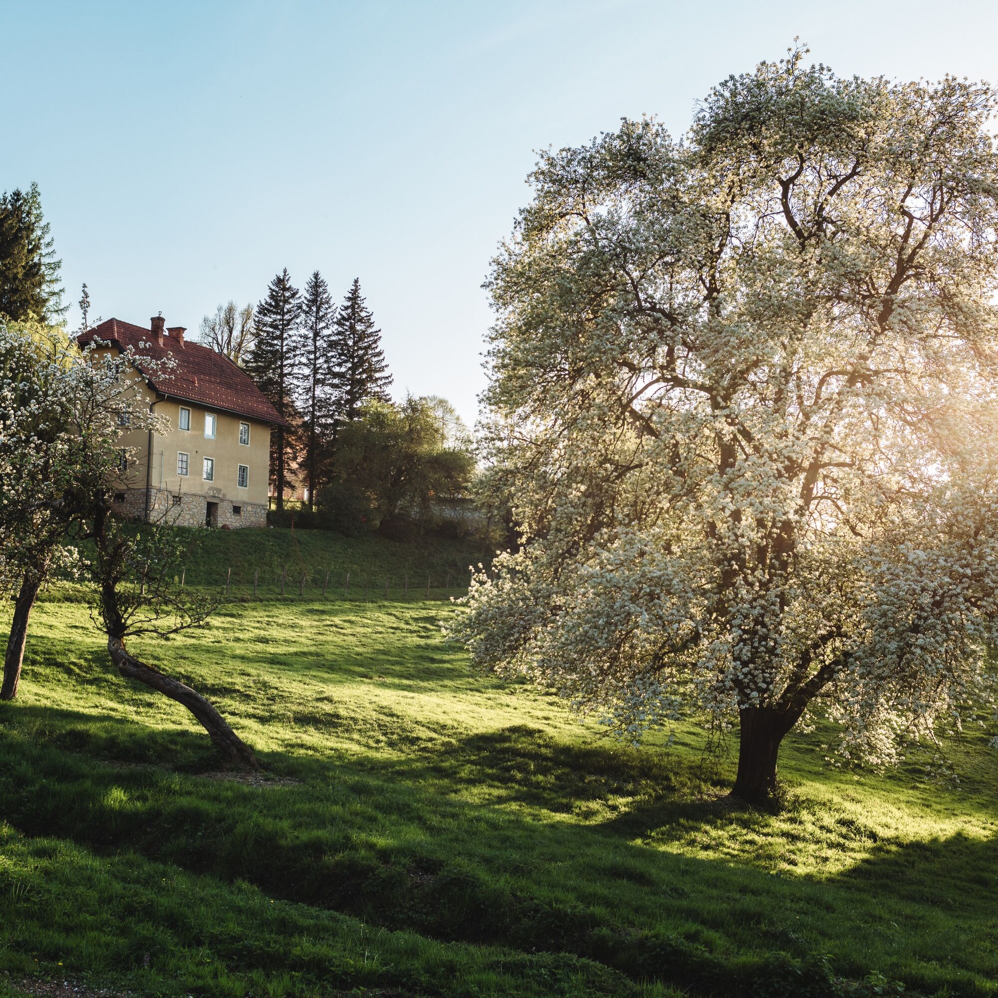
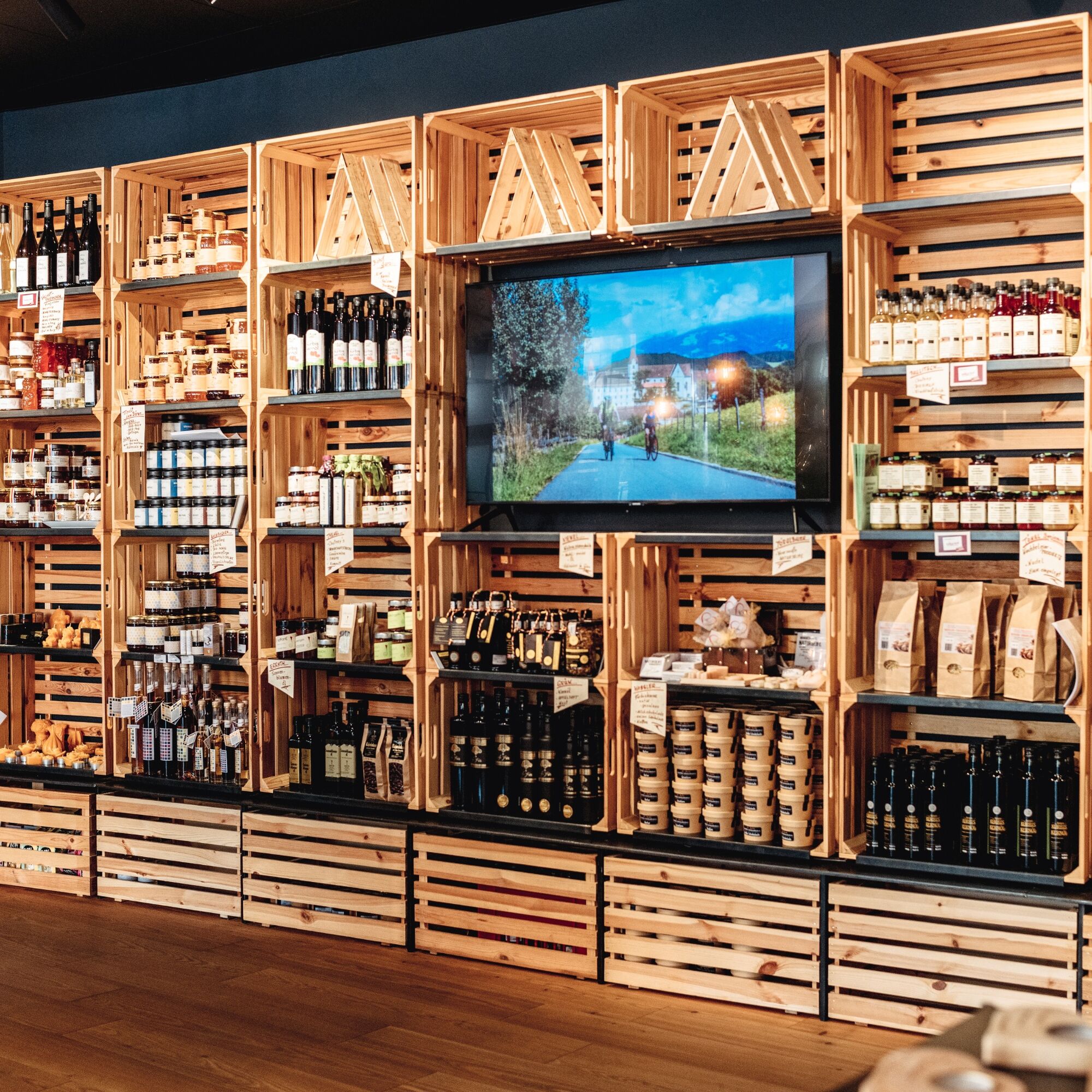
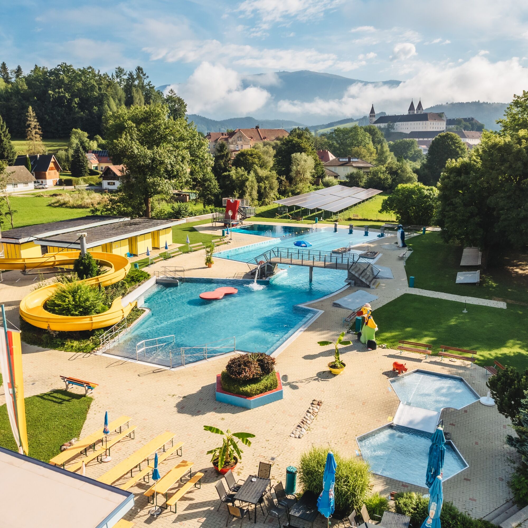
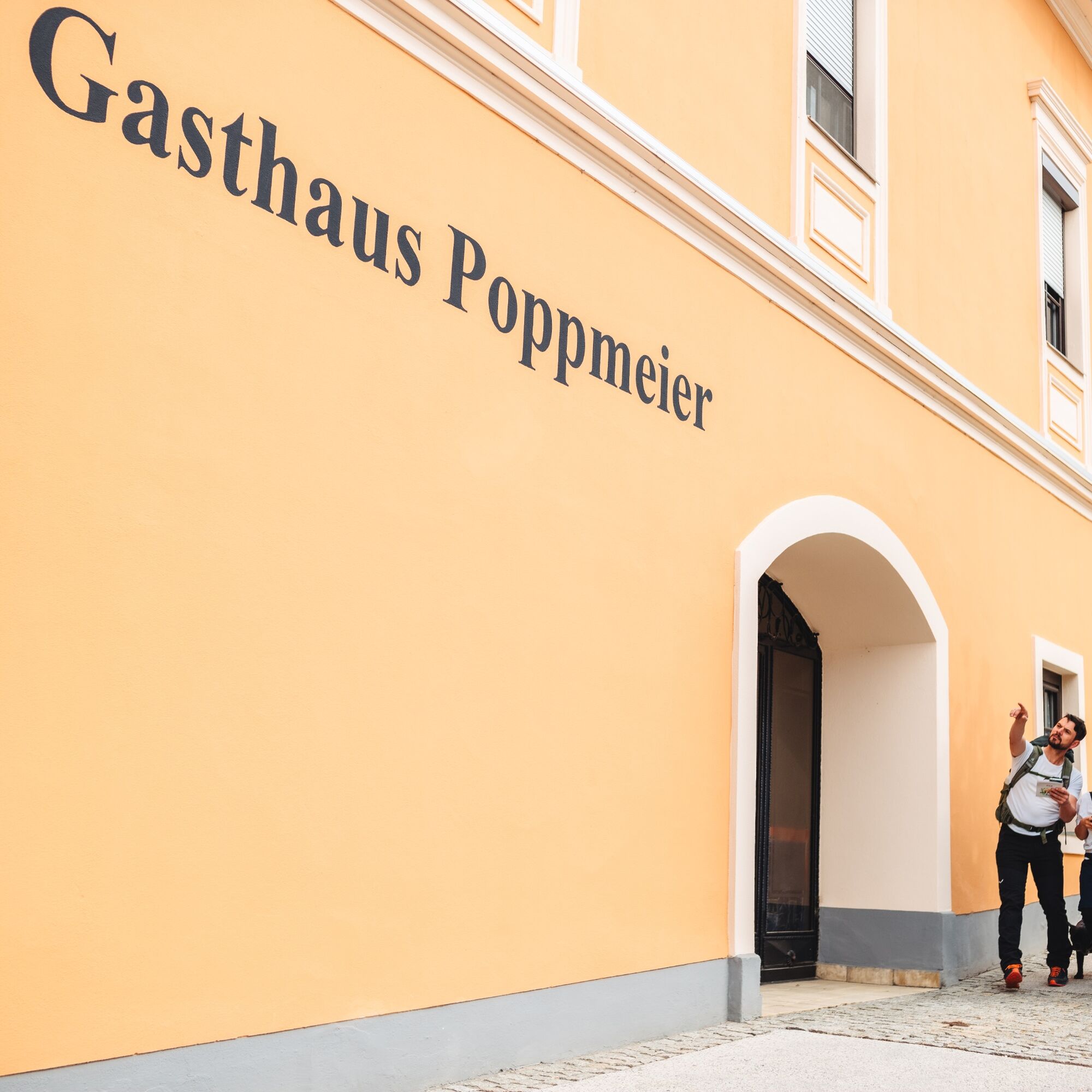
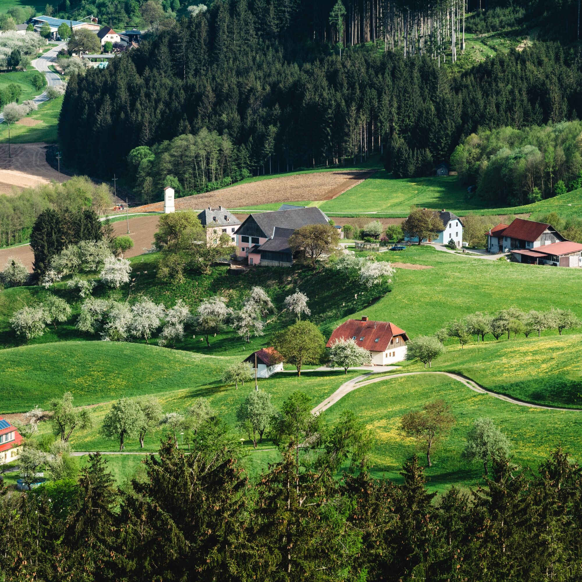
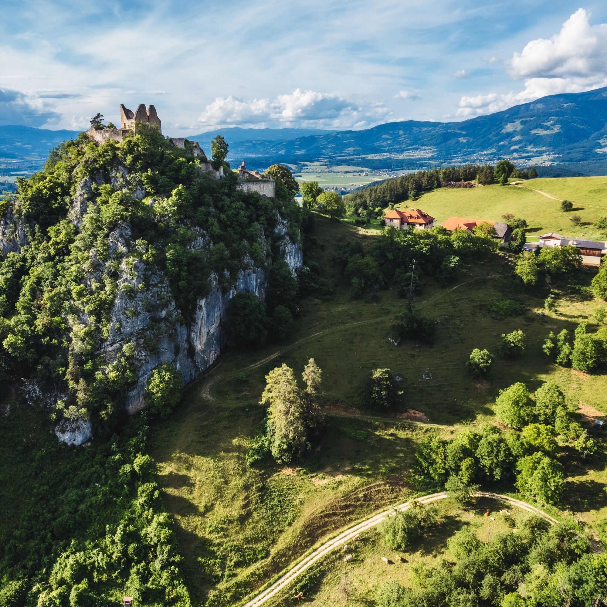
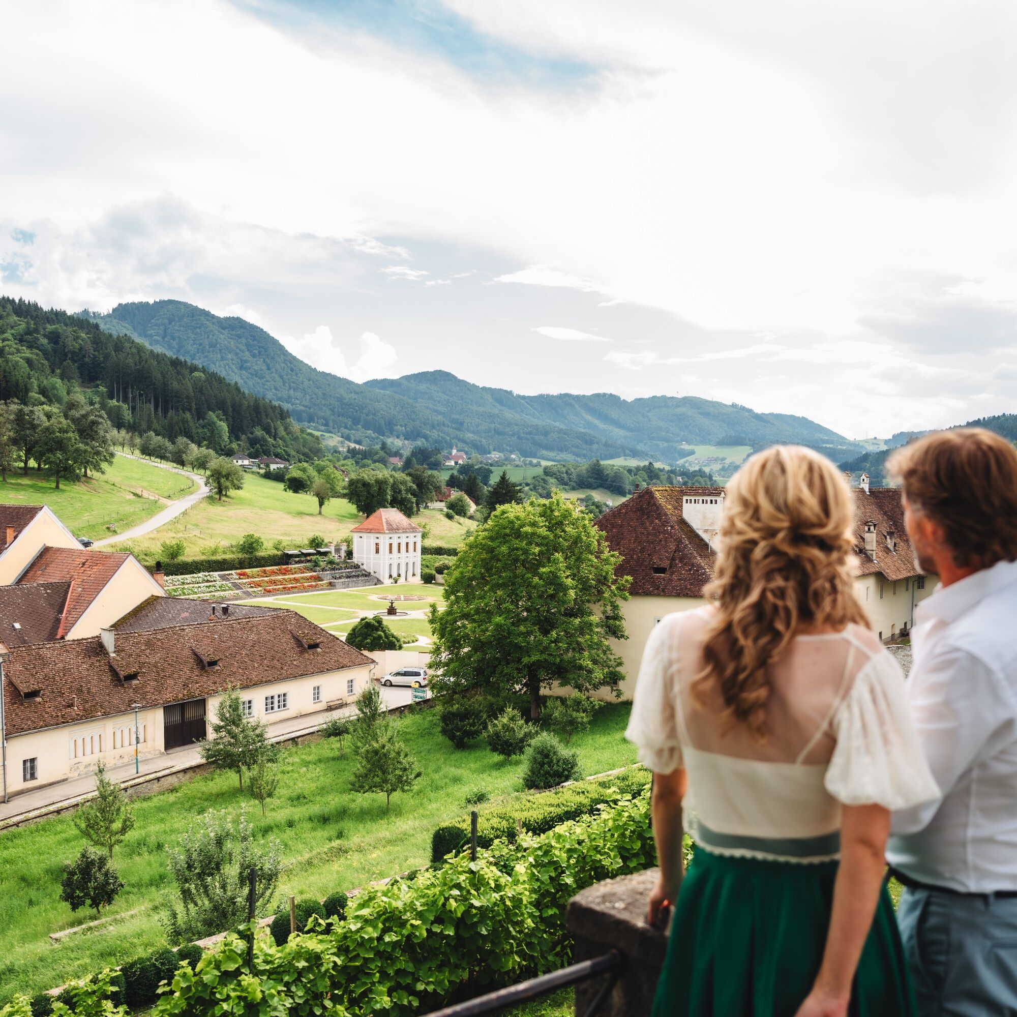

The starting point of the circular route is Lobisserplatz, from where the cultural hiking trails 2 and 3 also start. Heading west, following the sign "Cultural Circular Trail 1 – Weinzierl Cross", you will soon reach the Weinzierl Cross, with a beautiful view of St. Paul. From the Weinzierl farmstead, the path first leads along a forest trail towards the Ponegger Cross (sign "Culture – Circular Trail 1 – Ponegger Cross"). Passing the Ponegger Cross, you hike through the Ebenwald forest. Here is also the highest point of the hike at about 600 meters elevation. After about 2.5 km, there is the opportunity to take a break at the guesthouse Gößnitzer. Then continue to St. Martin (southeast and about 3 km from the guesthouse Gößnitzer). Halfway there are the Neuhauser Buschenschank (worth stopping by; excellent snacks and very friendly service) and the Granitztal train stop. From St. Martin, the route returns to St. Paul.
Tak
Tak
For this route, good footwear and a small backpack with the essentials are sufficient.
10 Recommendations from the ÖAV
As an outdoor sport, mountain hiking offers great opportunities for health, community, and experience. The following recommendations from alpine clubs aim to make mountain hikes as safe and enjoyable as possible.
1. Healthy into the mountains
Mountain hiking is an endurance sport. The positive strain on heart and circulation requires health and realistic self-assessment. Avoid time pressure and choose the pace so that no one in the group runs out of breath.
2. Careful planning
Hiking maps, guide literature, the internet, and experts inform about length, elevation difference, difficulty, and current conditions. Always adapt routes to the group! Pay special attention to the weather forecast, as rain, wind, and cold increase the risk of accidents.
3. Complete equipment
Adjust your equipment to your undertaking and pay attention to a light backpack. Rain, cold, and sun protection always belong in the backpack, as well as a first aid kit and mobile phone (European emergency number 112). Maps or GPS support orientation.
4. Appropriate footwear
Good hiking boots protect and relieve the foot and improve surefootedness! When choosing, pay attention to perfect fit, slip-resistant soles, waterproofness, and light weight.
5. Surefootedness is key
Falls, due to slipping or tripping, are the most frequent cause of accidents! Note that too high a pace or fatigue greatly impair your surefootedness and concentration. Beware of rockfall: By walking carefully, you avoid dislodging stones.
6. Stay on marked paths
Off-trail areas increase the risk of disorientation, falls, and rockfall. Avoid shortcuts and return to the last known point if you lose the trail. Often underestimated and very dangerous: steep old snowfields!
7. Regular breaks
Timely rest serves recovery, enjoying the landscape, and sociability. Eating and drinking are necessary to maintain performance and concentration. Isotonic drinks are ideal thirst quenchers. Muesli bars, dried fruit, and cookies satisfy hunger on the go.
8. Responsibility for children
Note that variety and playful discovery are paramount for children! On sections with fall risk, one adult can only supervise one child. Very exposed routes requiring long-lasting concentration are not suitable for children.
9. Small groups
Small groups ensure flexibility and enable mutual help. Inform trusted persons about destination, route, and return. Stay together within the group. Caution solo hikers: even small incidents can lead to serious emergencies.
10. Respect for nature and the environment
To protect mountain nature: leave no waste, avoid noise, stay on marked trails, do not disturb wildlife and grazing animals, leave plants undisturbed, and respect protected areas. Use public transport or form carpooling for getting there.
A2 South Motorway, exit St. Andrä i. L., then via the L 135 St. Paul State Road southwards to St. Paul.
Arrival by public transport possible. Info at ÖBB Timetable.
Parking possible in the village of St. Paul. Please observe any short-term parking zones.
www.region-lavanttal.at
In St. Paul and the surrounding area, there are countless cultural institutions to visit: the Benedictine Abbey St. Paul, the "Zogglhof" with the fruit tree museum, the Rabenstein ruins, the geological educational trail at Kasparstein, to name just a few.
More info at Market Municipality of St. Paul.

Popularne wycieczki w okolicy
-
4,7
Koralpe: hike to the summit cross
światłoWędrówka zimą 4,23 km -
4,4
Koralpe: Wycieczka na szczyt Großer Speikkogel
średniWycieczka narciarska 11,6 km -
5,0
Koralpe: Hike to the Großer Speikkogel
średniRakieta do chodzenia po śniegu 10,5 km -
3,8
Koralpe: panoramic circular hike
średniWędrówka 13,2 km -
4,2
St. Paul: park wspinaczkowy i via ferrata Rabenstein
średniVia ferrata 0,89 km -
4,8
Großer Speikogel, Koralpe, Kärnten
światłoWycieczki górskie 8,46 km -
4,3
Soboth Runde St.Vinzenz-Dreieckhütte-Gundischhütte
średniWędrówka 12,4 km -
4,0
Koralpe: panoramic hike
światłoWędrówka zimą 6,57 km -
4,7
St. Paul: Most Hiking Trail 1-3
ciężkiWędrówka 22,0 km -
2,9
Lavamünd: park wspinaczkowy i via ferrata „Dreifaltigkeitsfelsen”
średniVia ferrata 1,11 km
Wędrówki i tropienie


Nie przegap ofert i inspiracji na następne wakacje
Twój adres e-mail została dodana do listy mailingowej.





