


Etappe 18: Alpina Antica Trail | ET18: Winklern - Anna Schutzhaus
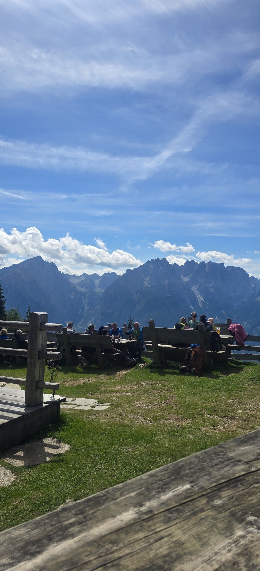
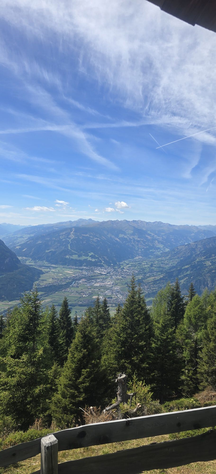
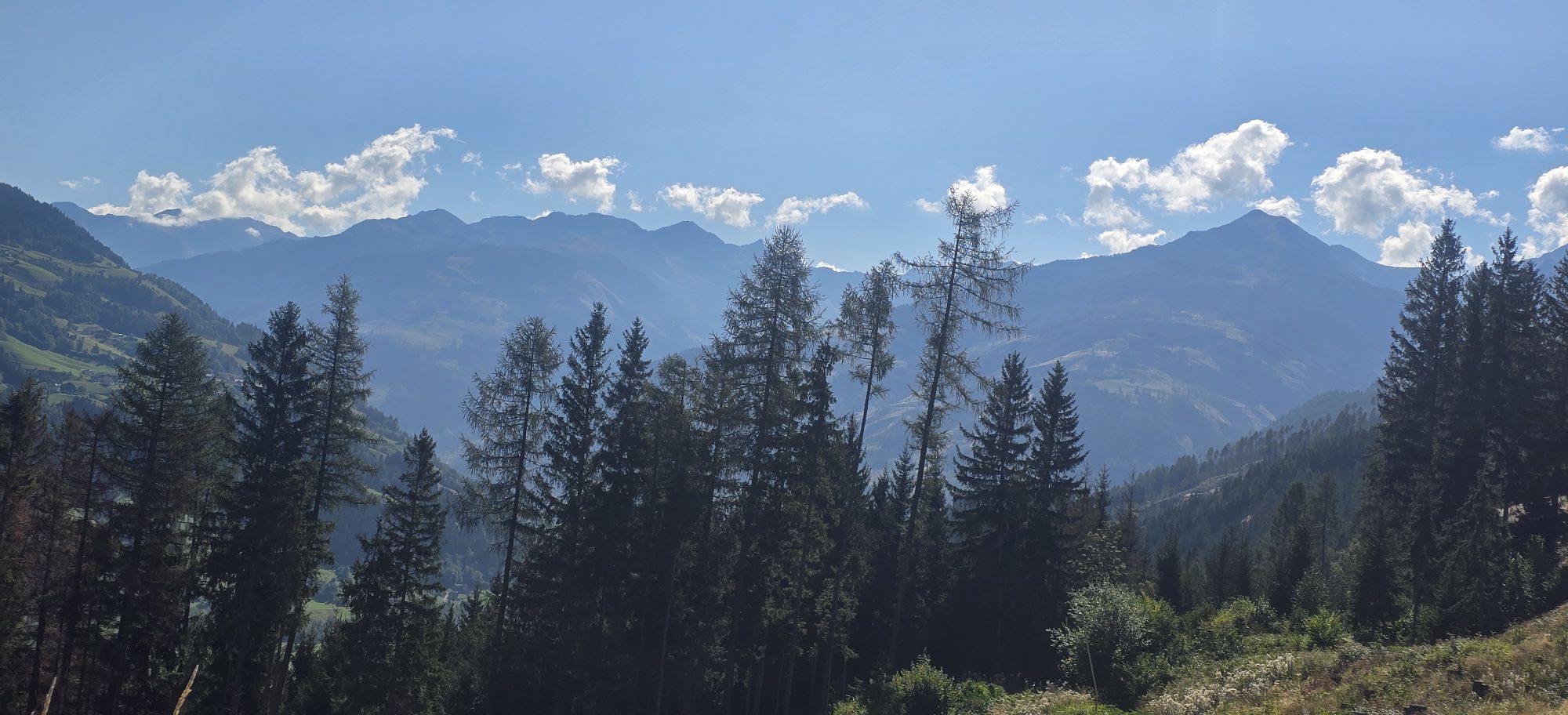
Up into the mountains to one of the most beautiful viewing lodges high above Lienz with fantastic views of the Carnic Alps and the Lienz Dolomites
In those days, the muleteer sometimes had to deviate from...
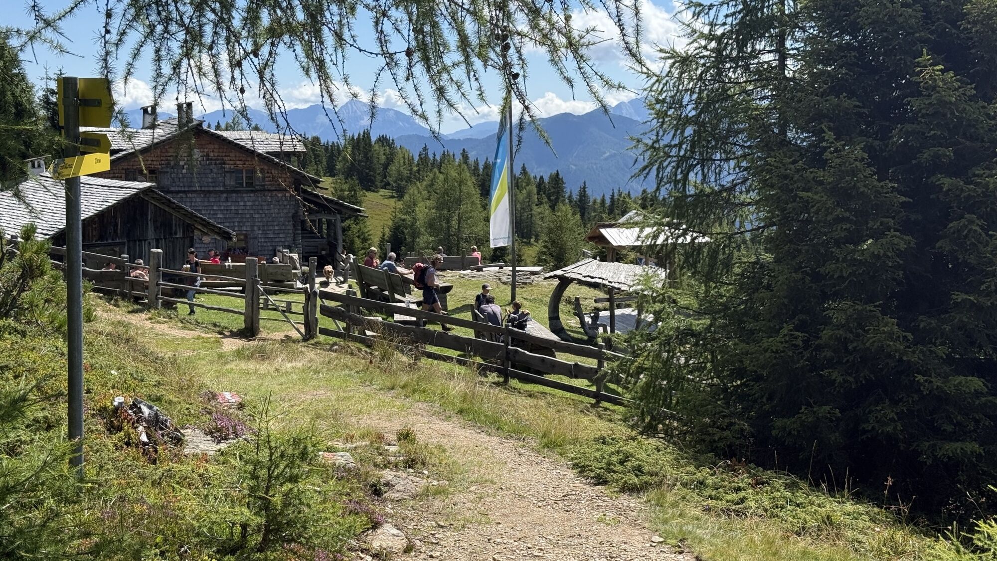
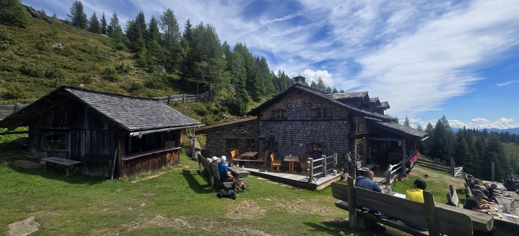
In those days, the muleteer sometimes had to deviate from the logical and simple trade route and take a more arduous route, e.g. through the mountains. Sometimes the tolls were simply too high or roads were closed. What was always a burden for the muleteer is pure pleasure for you. You don't have to carry more than your own belongings, so the two days through the lonely Kreuzeck group between the Möll and Drau valleys are pure pleasure. And the Anna Schutzhaus just below the summit of the Ederplan high above Lienz with fantastic views of the Carnic Alps and the Lienz Dolomites is one of the highlights on your way across the Alps.

Cross the main road and follow the forest path uphill on the other side until you reach a forest road. Keeping to the right, the forest road takes you through two hairpin bends to another fork in the road about 50 m before a house. The forest road on the left leads in the direction of “Zwischenbergen”, crossing the forest slope uphill to the east. At the end of the forest road, a hiking trail first descends a few meters and then crosses to the east to an alpine hut. An overgrown alpine road begins here, which you follow in the same direction. At the point where the alpine road turns downhill in a bend, a meadow path starts straight ahead, which then leads downhill through the forest to an asphalt road near the houses of Zwischenbergen.
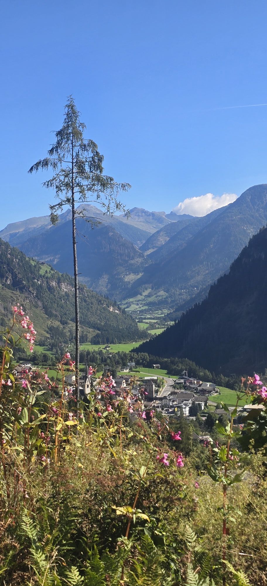
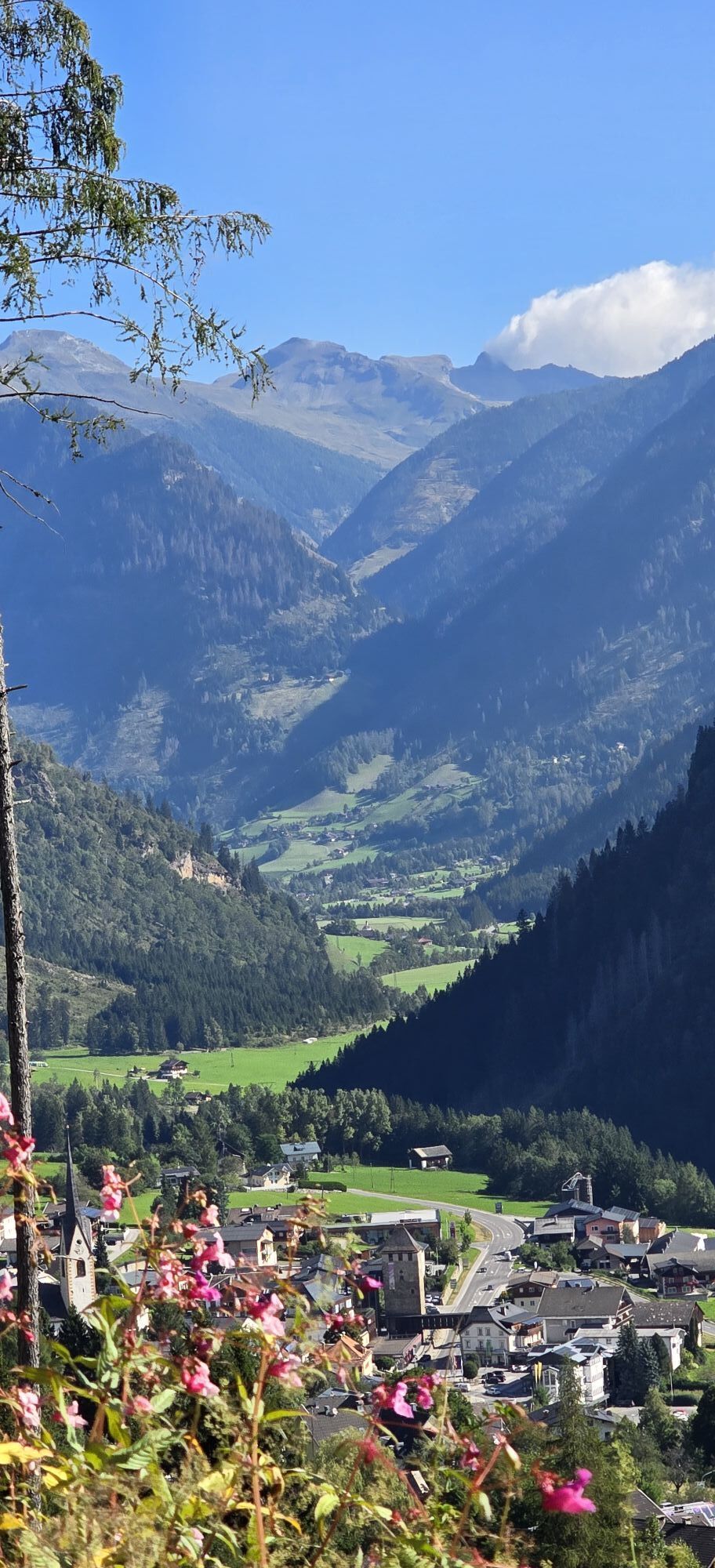
On the road, keep right towards “Ederplan” no. 45a. The road soon turns into a gravel road - you ignore the turn-off towards Lainacher Kuhalm and hike uphill in hairpin bends through beautiful alpine terrain. Shortly before the Zwischenberger Sattel, at a fork in the road, both paths lead to the Ederplan - keep to the right-hand path and you will soon reach the Zwischenberger Sattel.
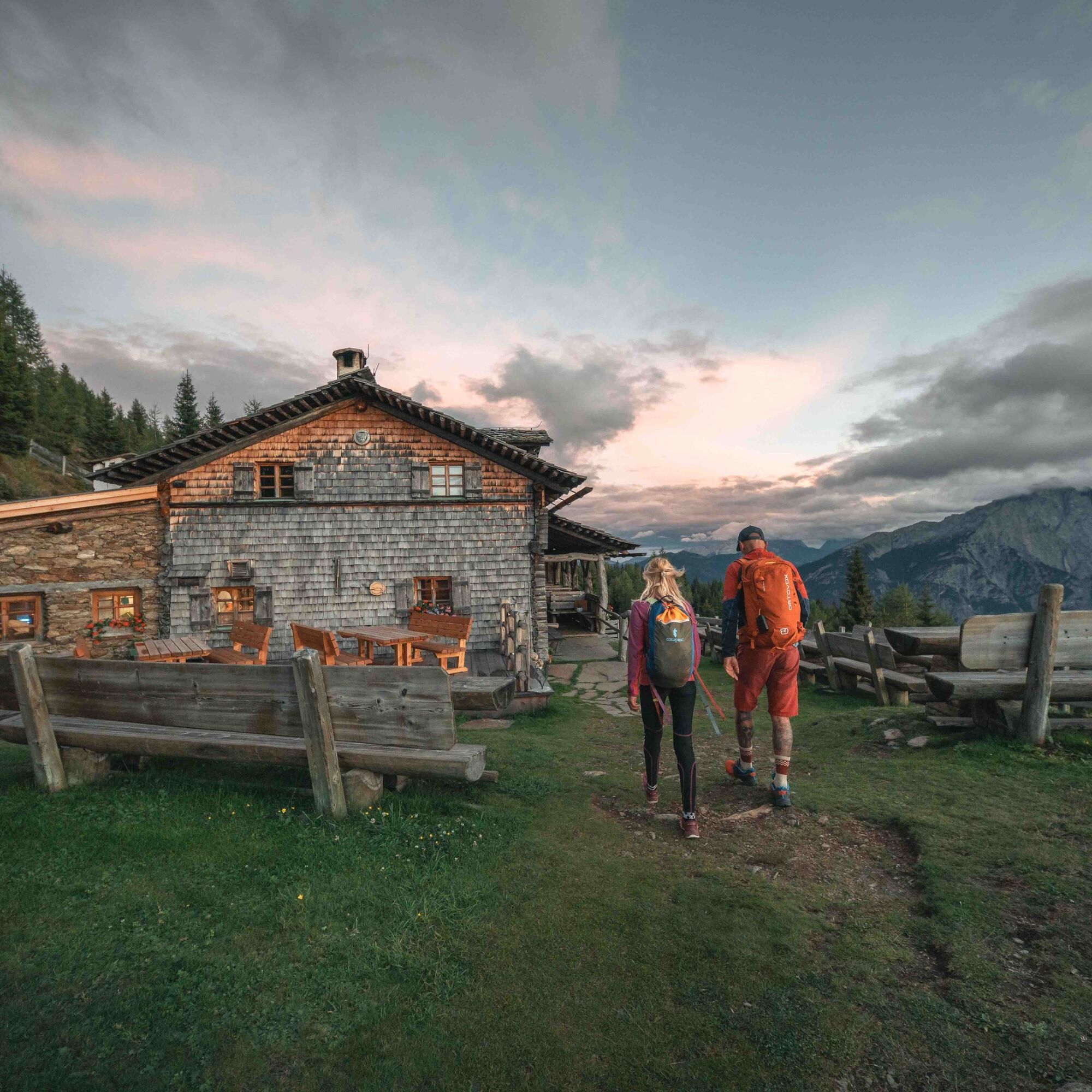
Here you will find the Zwischenberger Lacke, a gem and valuable wetland biotope. You could follow the forest road past the Lacke on the left - but it is nicer to go around the Lacke on a small path (“Lackenrundweg”) to the right and then rejoin the forest road after the Lacke. Soon a path branches off to the left towards Anna Schutzhaus no. 318. The path initially leads downhill parallel to the gravel road until after a few minutes it takes a sharp left turn uphill. This path now leads beautifully through a wonderful larch forest up about 500 meters in altitude, first to an alpine pasture and then the last few meters along an alpine road to the beautifully situated Anna Schutzhaus at 1,992 m above sea level.
The Anna Schutzhaus was built in 1882 just below the Ederplan summit at 1,992 m above sea level by the famous painter Franz von Defregger. He dedicated the hut to his wife Anna and it served as a summer residence. On August 14, 1888, he donated it to the ÖTK. Franz von Defregger was born in 1835 as the son of a farmer (then still Franz Defregger) in Stronach, within sight of the Anna Schutzhaus, and rose to become one of the best-known and most successful representatives of the Munich School as a genre and history painter. During the renovations, great care was taken to retain the original appearance of the house as far as possible.
Popularne wycieczki w okolicy
-
4,9
Wangennitzsee Hütte
średniWędrówka 3,80 km -
4,7
Karlsbader Hütte über Rudl-Eller-Weg
ciężkiWędrówka 5,10 km -
4,9
Pirknerklamm (C)
średniVia ferrata 2 km -
4,8
Lienzer Dolomiten-Lasertörl
średniWędrówka 13,2 km -
4,7
Glödis 3206m: PP Seichenbrunn, Lienzer Hütte, Glödis KS A/B
ciężkiWycieczka wysokogórska 16,1 km -
5,0
Ederplan round from the parking lot Stronach
średniWędrówka 7,19 km -
3,9
Karlsbader Hütte - Lienzer Dolomiten
Wędrówka 8 km -
4,1
Gradental to Adolf Nossberger Hut - circular route
średniWędrówka 11,1 km -
3,9
Summit hike to the Hochstadel
średniWędrówka 7,83 km -
3,2
Straßkopf
średniWycieczka narciarska 10,6 km

Wędrówki i tropienie


Nie przegap ofert i inspiracji na następne wakacje
Twój adres e-mail została dodana do listy mailingowej.