


St. Andrä: valley hiking trail via St. Andrä recreational facility
The St. Andrä valley hiking trail is very varied and offers something for every taste.
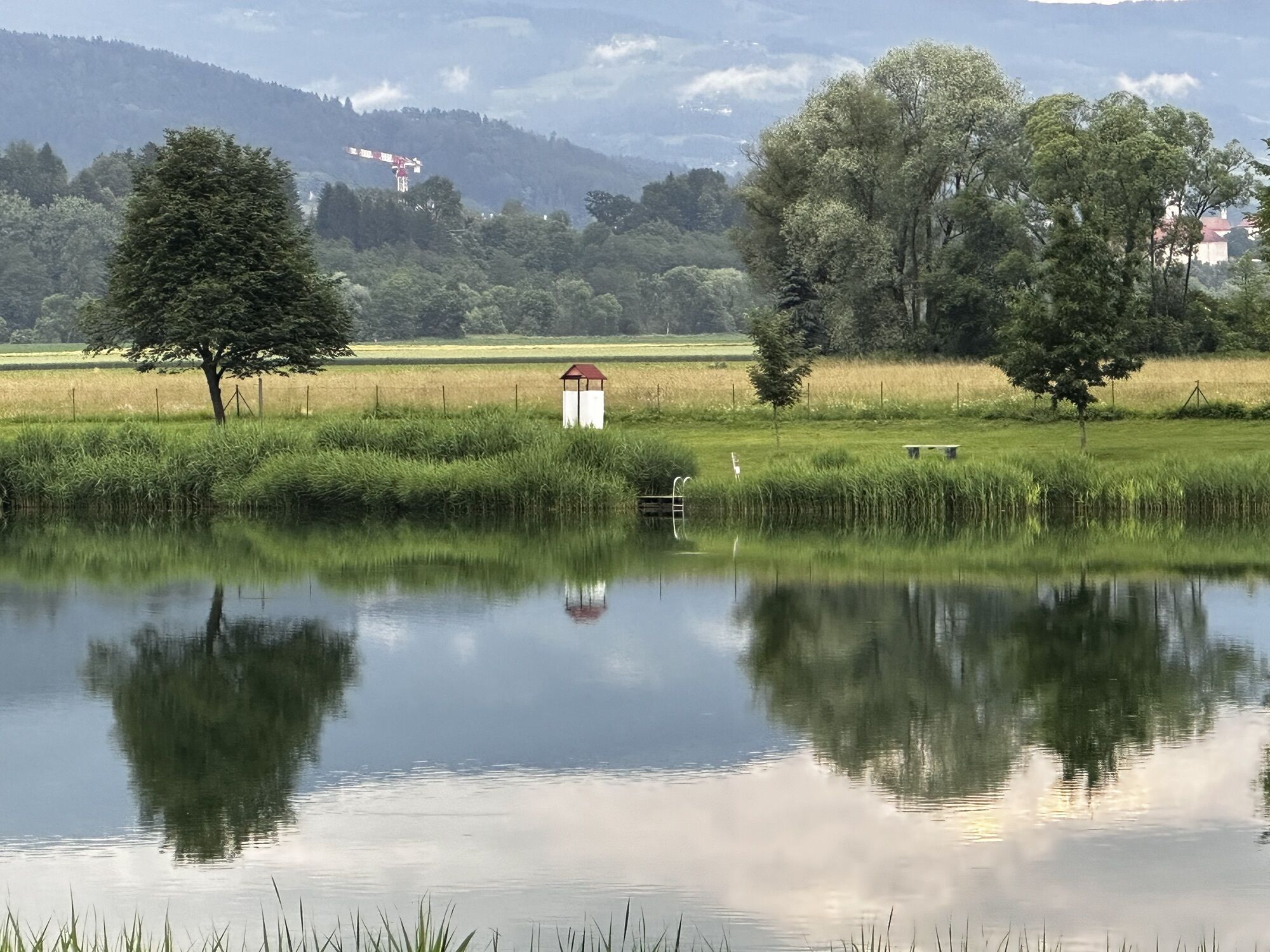
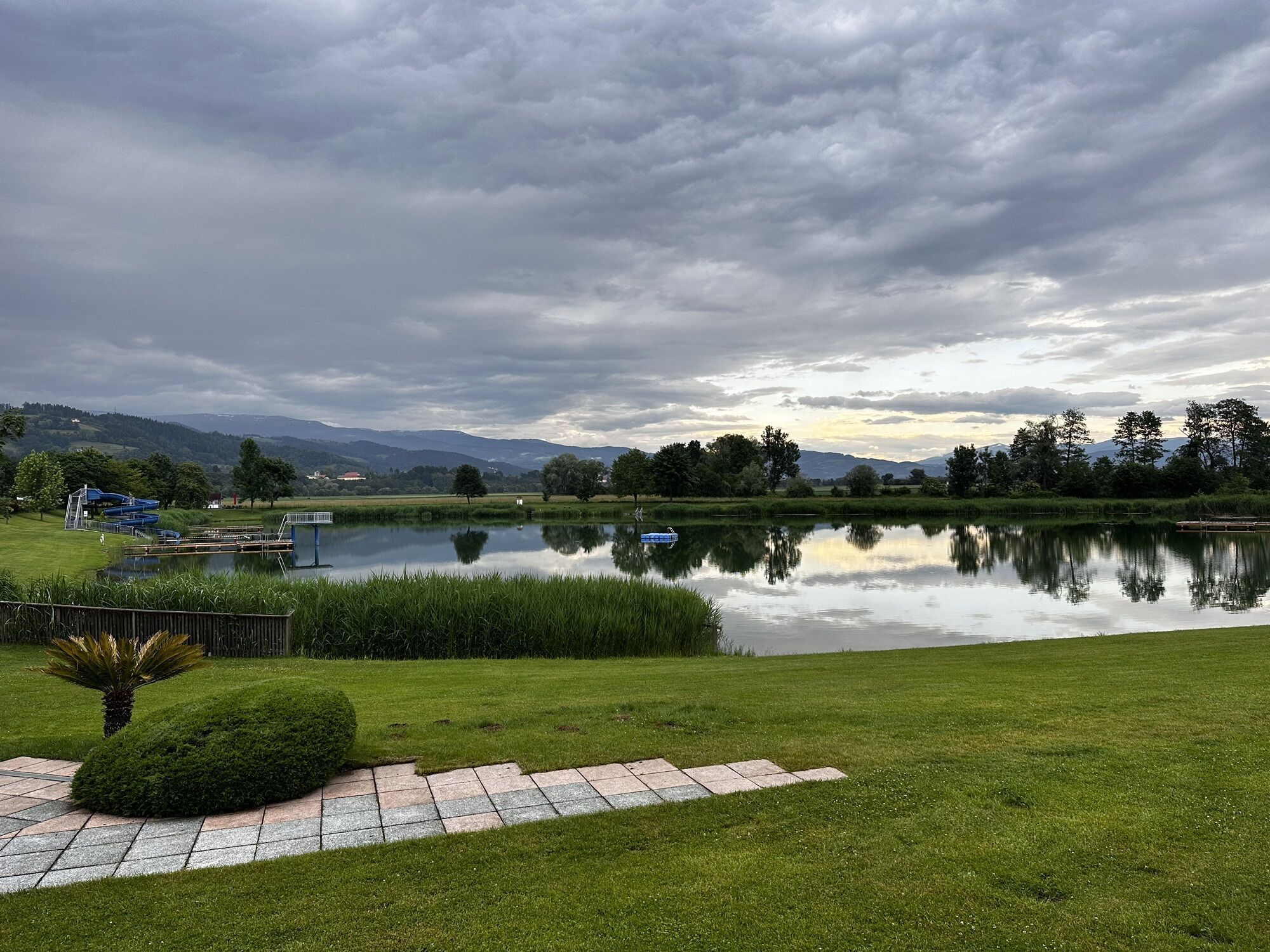
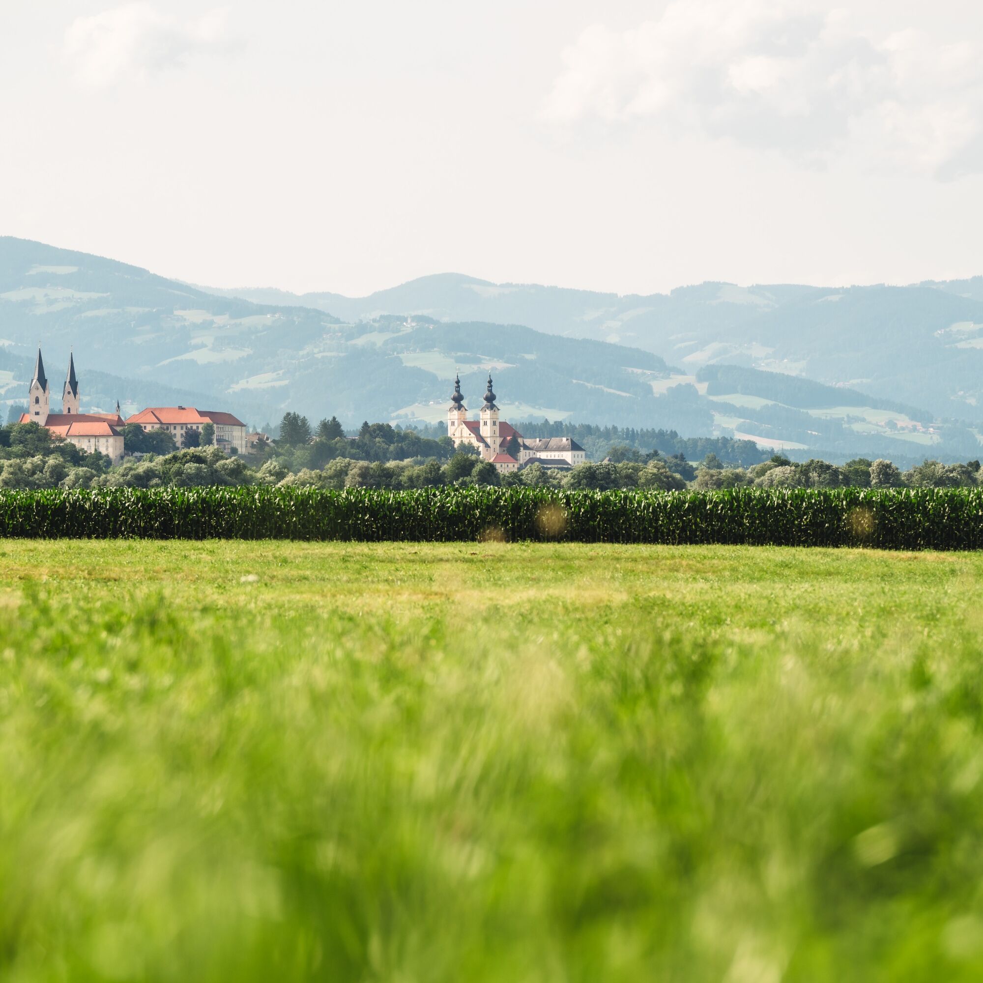
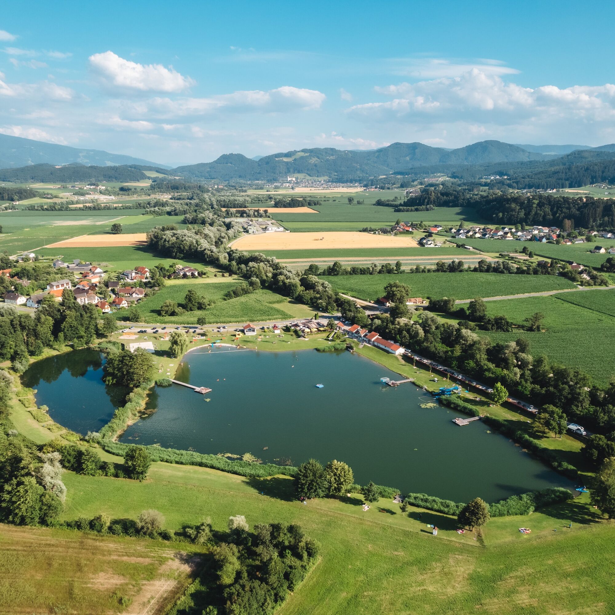
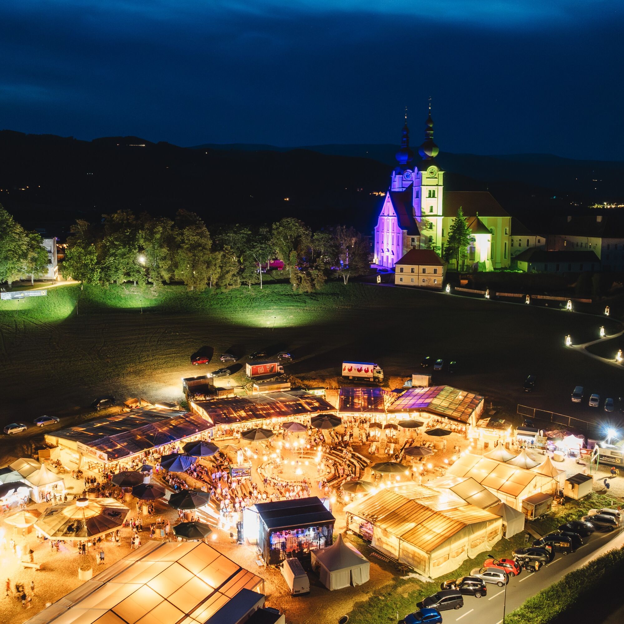
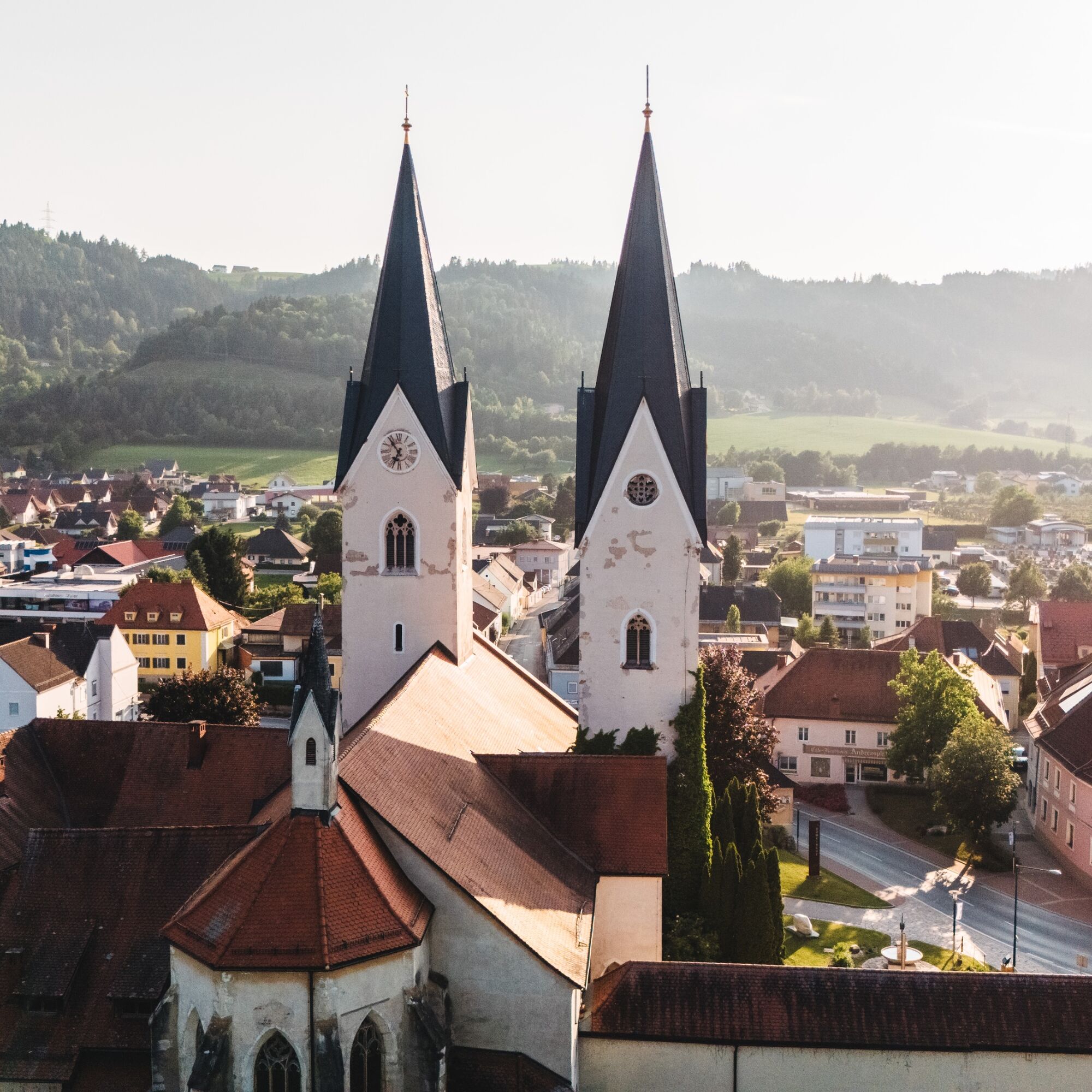
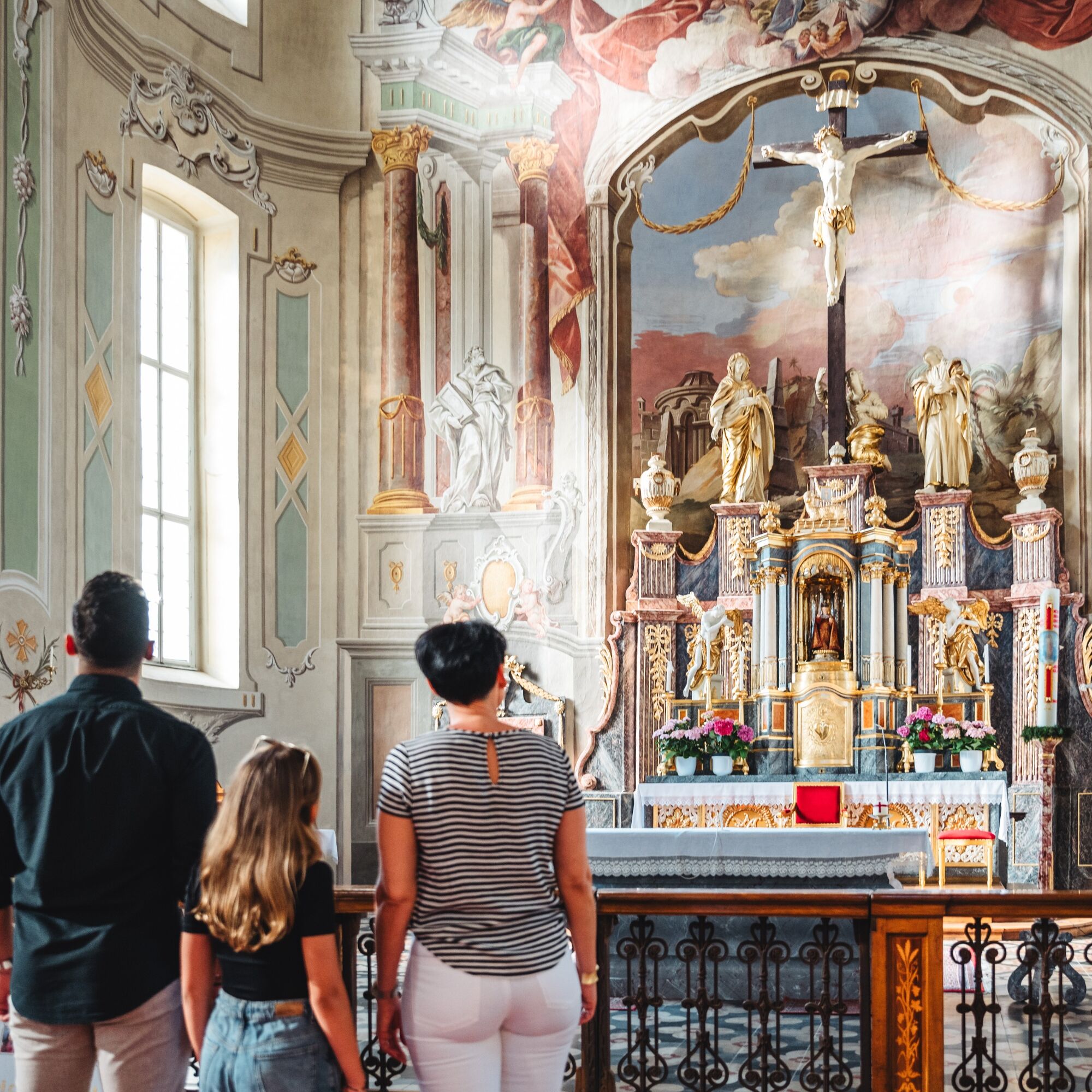
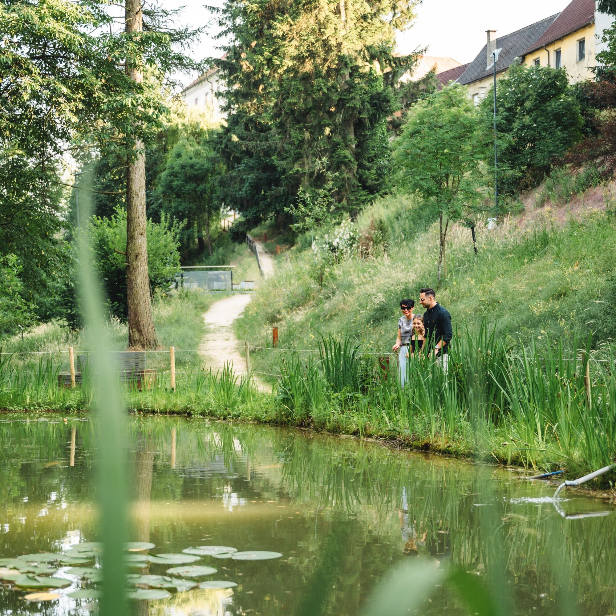
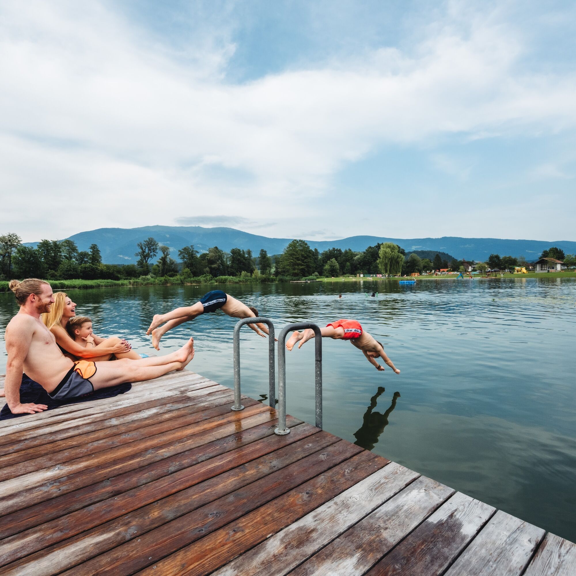
Culture (Basilica Maria Loreto, cathedral and parish church), bathing possibility (St. Andrä recreational facility),...
The St. Andrä valley hiking trail is very varied and offers something for every taste.
Culture (Basilica Maria Loreto, cathedral and parish church), bathing possibility (St. Andrä recreational facility), as well as other beautiful hikes (e.g., bee educational trail).
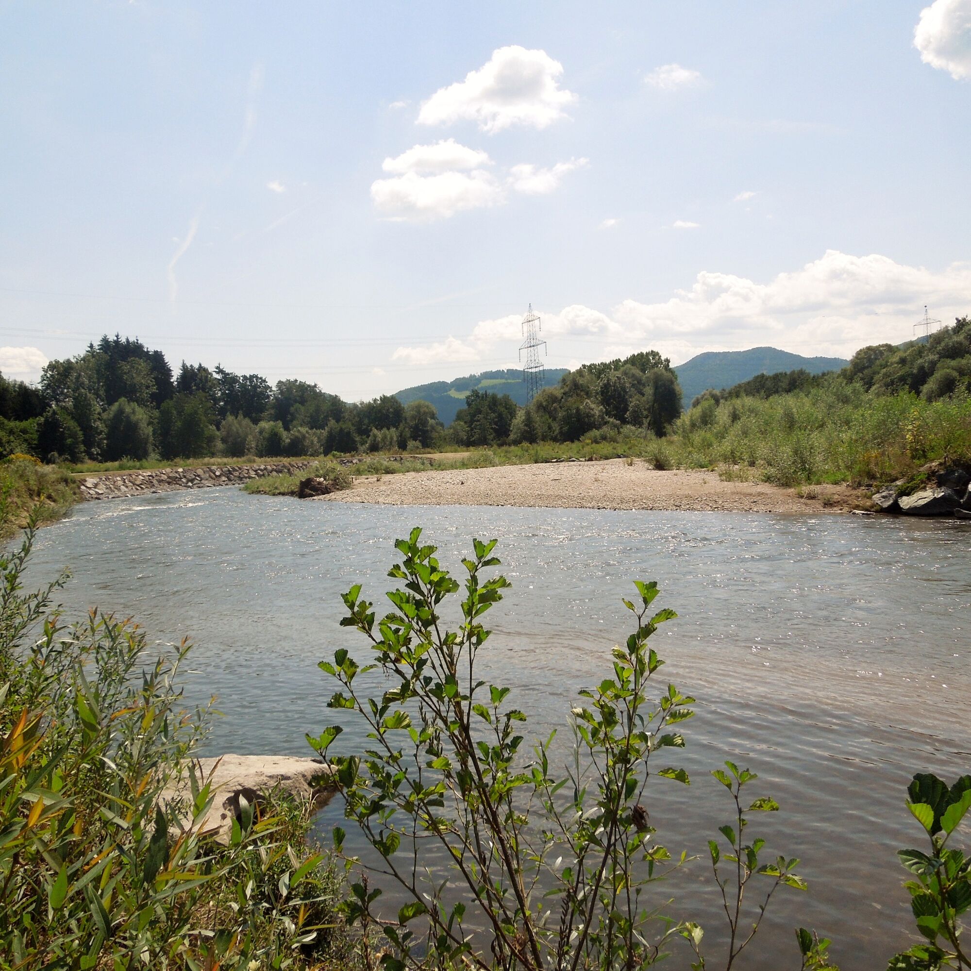
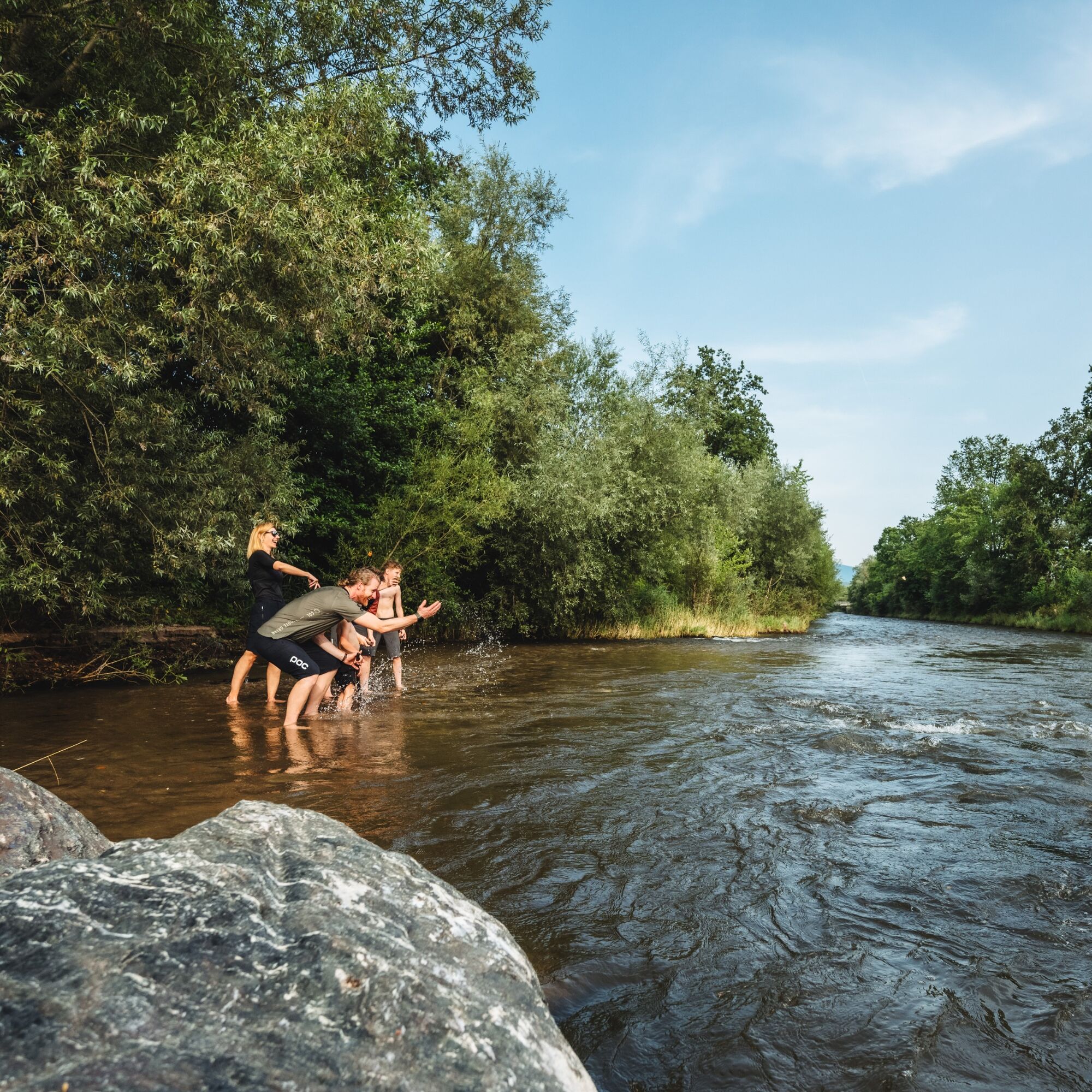
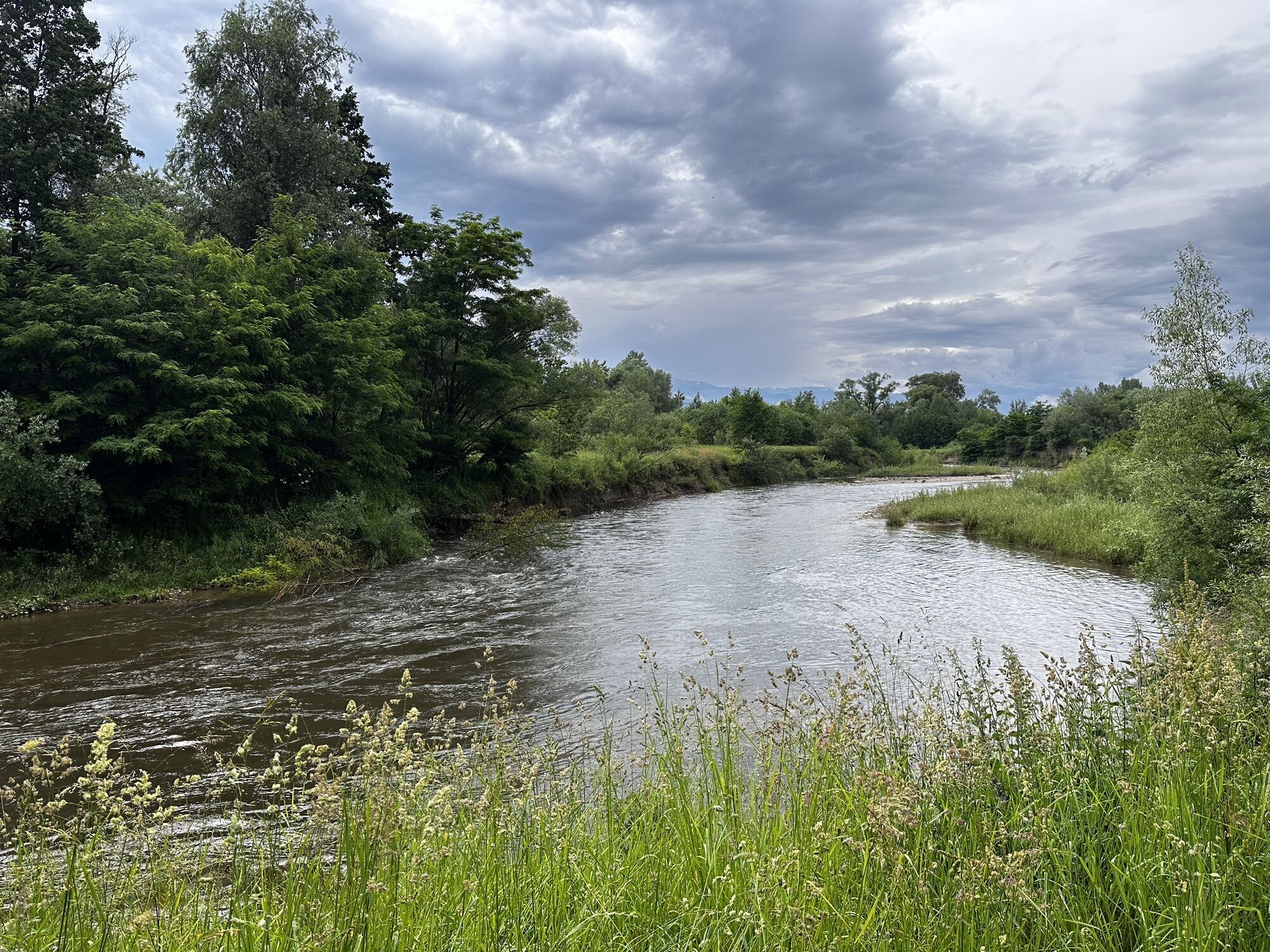
From the St. Andrä tourism office via Wölzing towards the Lavantrails path. Crossing the Lavantrails path and the Lavant, then continuing north to Magersdorf. Turn right towards Siebending. On a field path, continue to the St. Stefan state road and further east to Kragelsdorf. Over the Husarenkogel further to the Eitweg state road, along the sidewalk to Eitweg and St. Ulrich. Here there is an eastern connection option to the Godinger hiking trail.
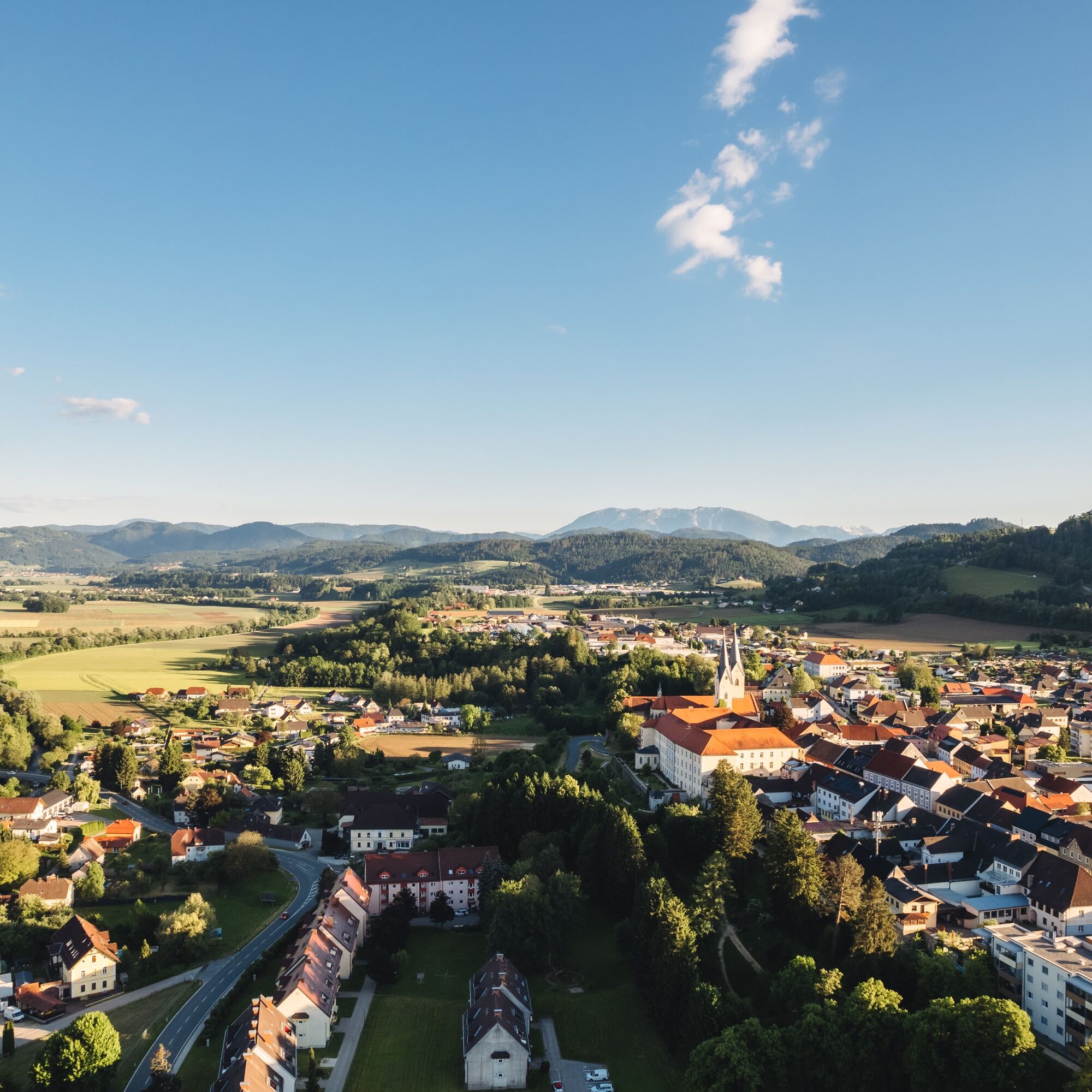
The valley hiking trail continues towards Hainsdorf. In Hainsdorf (junction of the valley hiking trail) one path leads towards Dachberg - Jakling - St. Andrä and one path to Untereberndorf - Maria Rojach. From Maria Rojach along the footpath towards Mühldorf, crossing the Ettendorf state road, then left towards the south to Mühldorfer Au and from there again north to the St. Andrä recreational facility.
Along the Lavant north back to the starting point of the St. Andrä valley hiking trail - the St. Andrä tourism office.
For this route, light hiking or sports shoes and a backpack with the essentials are sufficient.
The St. Andrä valley hiking trail is partly routed on private property and is exclusively for pedestrians there. Driving or riding on these sections is not permitted. For your own sake, do not leave the marked paths and thus contribute to the protection of the flora and fauna of our recreational area. Please avoid any contamination of the paths and adjacent plots and help preserve our environment and cultural landscape. Use of the hiking trails is at your own risk, parents are responsible for their children.
A2 South Motorway - exit St. Andrä - roundabout third exit - to the city center of St. Andrä
Accessible by train or bus - ÖBB timetable.
Large parking lot at the St. Andrä sports facility.
From Eitweg or St. Ulrich, you have the opportunity to explore the hiking area of the Koralpe via the "Goding hiking trails" (walking time approx. 3-4 hours).

Popularne wycieczki w okolicy
- 4,7
Koralpe: hike to the summit cross
światłoWędrówka zimą 4,23 km - 4,4
Koralpe: summit tour to the Großer Speikkogel
średniWycieczka narciarska 11,6 km - 4,5
Weinebene - Moschkogel - Rundweg
światłoWędrówka 7,27 km - 4,1
Schneeschuhwanderung Weinebene
światłoRakieta do chodzenia po śniegu 7,40 km - 5,0
Koralpe: Hike to the Großer Speikkogel
średniRakieta do chodzenia po śniegu 10,5 km - 4,5
PP Weinebene-Grillitschh.-Gr.Speik-Hühnerstütze-PP Weinebene
średniWędrówka 19,6 km - 3,7
Loskogel - Steinmandl- Großer Speikkogel
średniWędrówka 16,1 km - 4,2
St. Paul: Klettergarten und Klettersteig Rabenstein
średniVia ferrata 0,89 km - 4,0
Koralpe: panoramic hike
światłoWędrówka zimą 6,57 km - 3,7
Koralpe: panoramic circular hike
średniWędrówka 13,2 km
Wędrówki i tropienie


Nie przegap ofert i inspiracji na następne wakacje
Twój adres e-mail została dodana do listy mailingowej.