



The Oistra

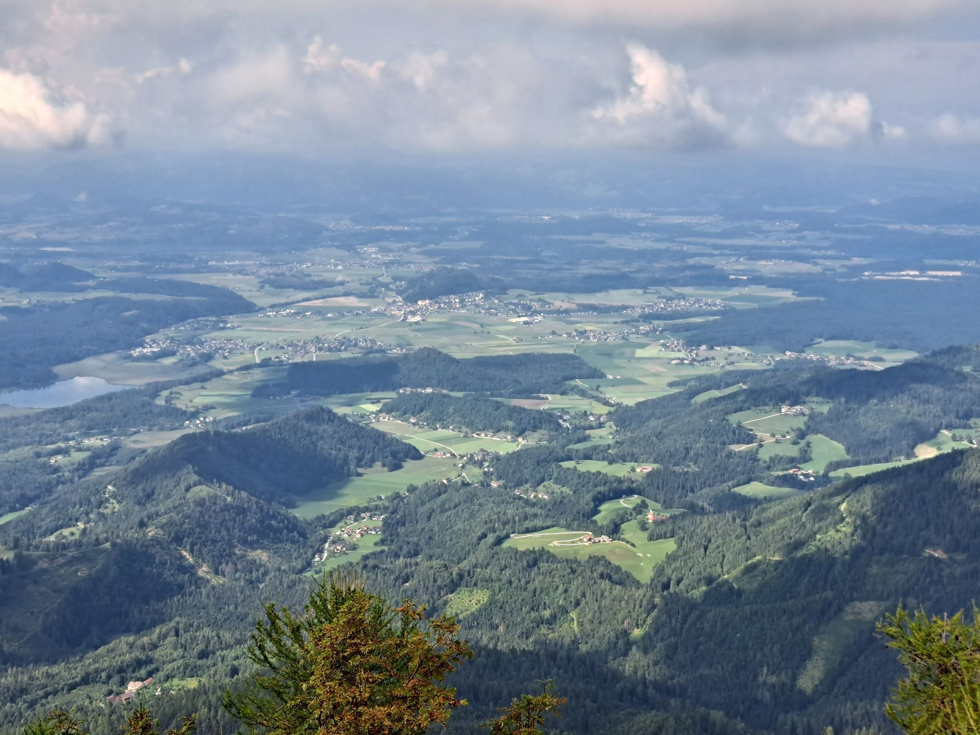
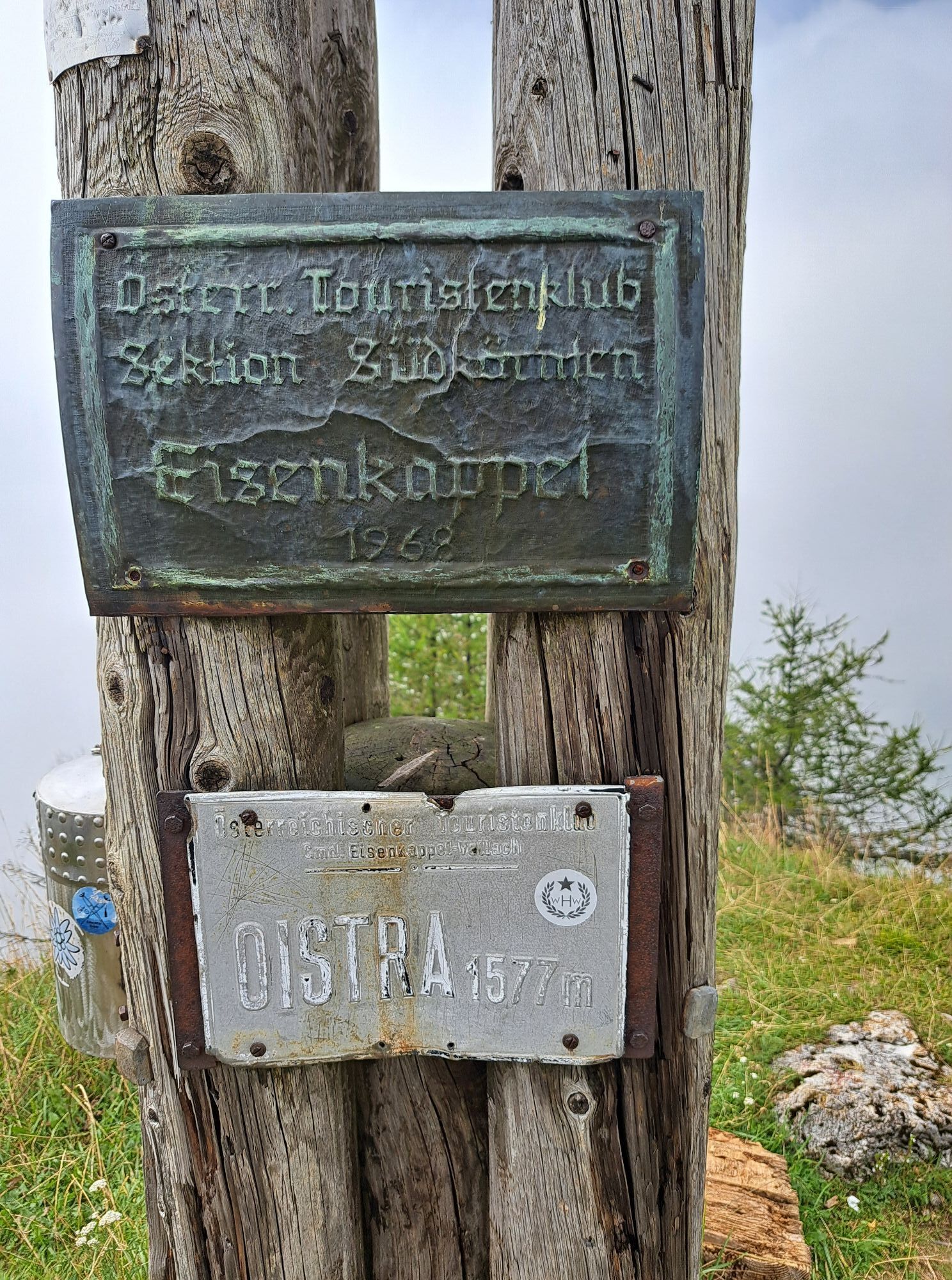
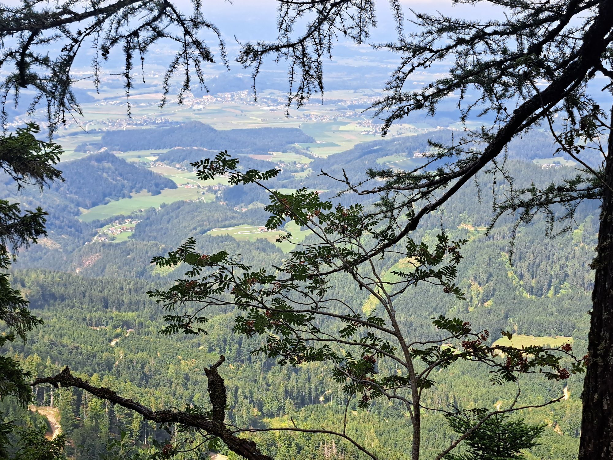
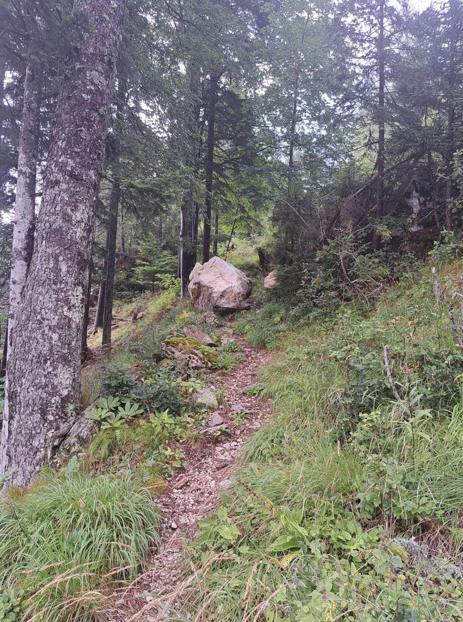
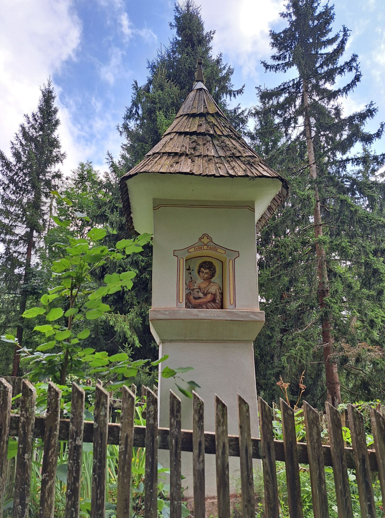
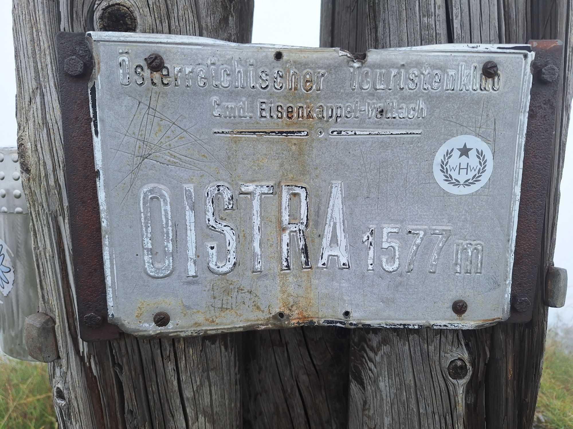
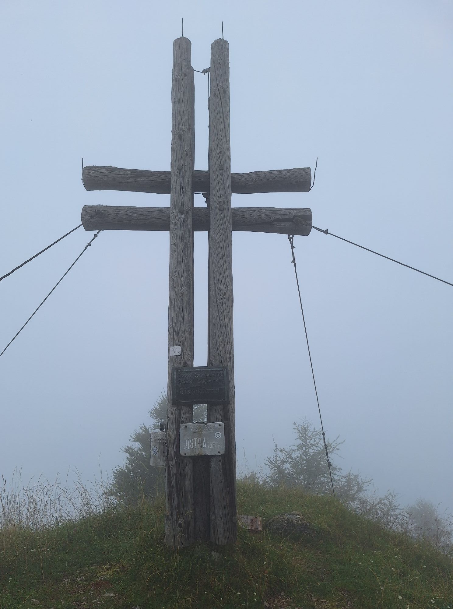
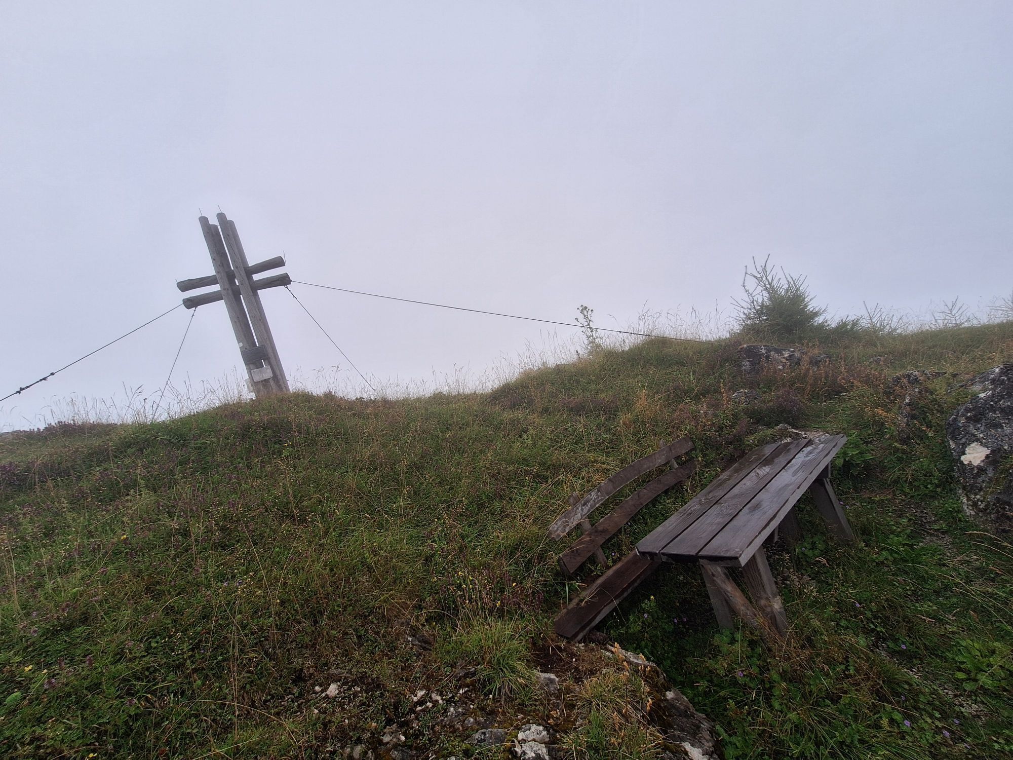
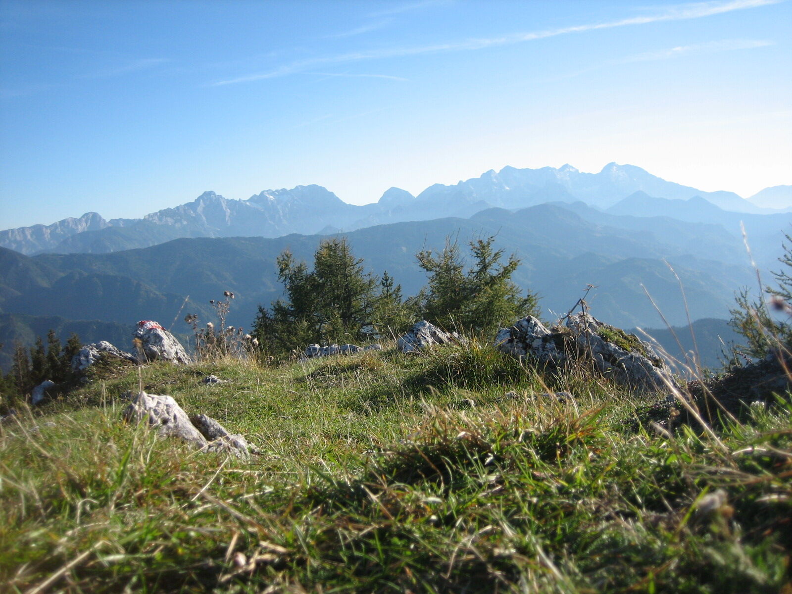
The Oistra, a sharp mountain peak located west of the Petzen, rises into the sky with its modest summit at an altitude of 1577m. Due to its exposed location and the bare mountain summit, the view on clear...
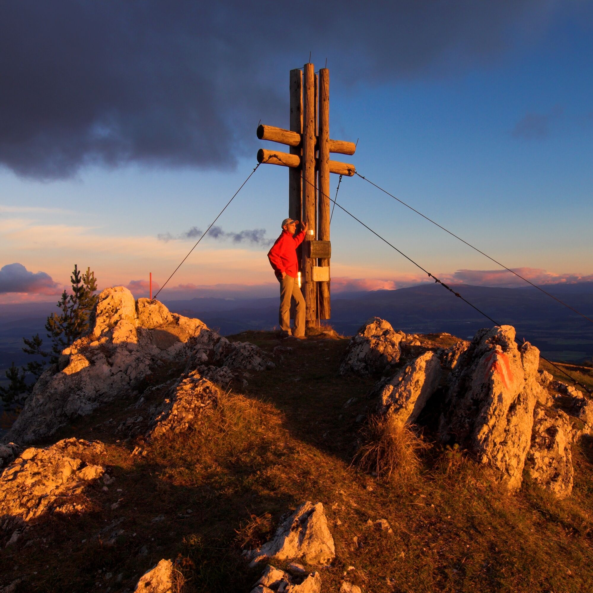
The Oistra, a sharp mountain peak located west of the Petzen, rises into the sky with its modest summit at an altitude of 1577m. Due to its exposed location and the bare mountain summit, the view on clear days is simply overwhelming. A summit cross, erected by the Southern Carinthia section of the Austrian Tourist Club, adorns the mountain peak. There is also a summit logbook at the summit cross.



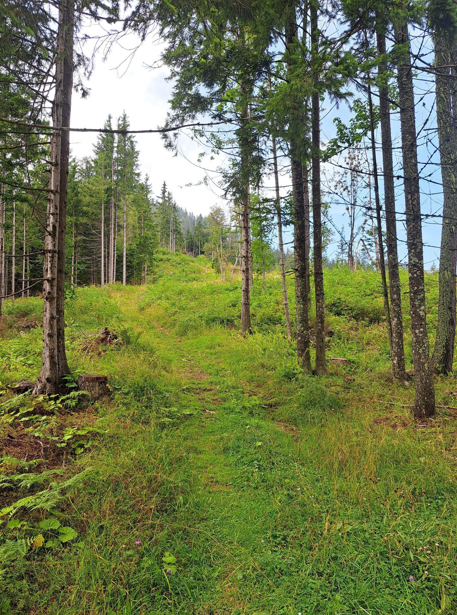
From the Wögel farm, take the shortest path following the red-white-red marking to the summit. The walking time to the summit is then just over one hour. Over the summit, path no. 671 leads downhill to the Prevnik saddle, from there continuing to the paved Lobnig road and to hiking trail 603.
Hiking equipment with sturdy footwear
Sun protection
Rain jacket
Water bottle
Snack
Sturdy footwear required
From Bad Eisenkappel along the Lobnig municipal road to the Wögel farm.
At the Wögel farm.
Guided hikes bookable at the Bad Eisenkappel tourist information.


Popularne wycieczki w okolicy
- 4,6
Bad Eisenkappel: Hochobir
Wędrówka 5,50 km - 4,5
Wandertour Hochobir / Zell
średniWędrówka 5,76 km - 4,6
Slow Trail Kitzelberg, Klopeiner See
średniWędrówka 6,82 km - 4,9
Koschlak Klettersteig BC, D
średniVia ferrata 2,60 km - 4,9
Eisenkappler Hütte - Hochobir
średniWędrówka 8,86 km - 4,3
Klopeiner See route: "Promenade round"
światłoWędrówka 5,27 km - 4,2
6-lake cycle tour in southern Carinthia
średniJazda na rowerze 53,8 km - 4,6
Vom Seebergsattel auf den Kärntner Storschitz (Rundweg)
ciężkiWędrówka 8,30 km - 4,0
Upper Petzen circular route
średniWędrówka 7,30 km - 4,4
Rundweg Schaidasattel - Hochobir
średniWędrówka 16,0 km
Wędrówki i tropienie


Nie przegap ofert i inspiracji na następne wakacje
Twój adres e-mail została dodana do listy mailingowej.


