Nawigacja
Pobierz tę trasę na swój telefon komórkowy
Mapa
6-lake cycle tour in southern Carinthia

średni
Jazda na rowerze
53,83 km
Zeskanuj kod QR i rozpocznij nawigację w aplikacji bergfex.
QR Code
Wędrówki i tropienie

6-lake cycle tour in southern Carinthia

średni
Jazda na rowerze 4,2
Odległość
53,8 km
Czas trwania
04:00 h
Ascent
473 hm
Poziom morza
448 - 581 m

Poziom trudności: 3

Ścieżka do pobrania
Mapa
6-lake cycle tour in southern Carinthia
średni
Jazda na rowerze
53,83 km

This tour leads past six of the seven bathing lakes through the very south of Austria. The tour is around 54 km long and offers the perfect mix of exercise and adventure. Whether you are a leisure cyclist,...

Opis

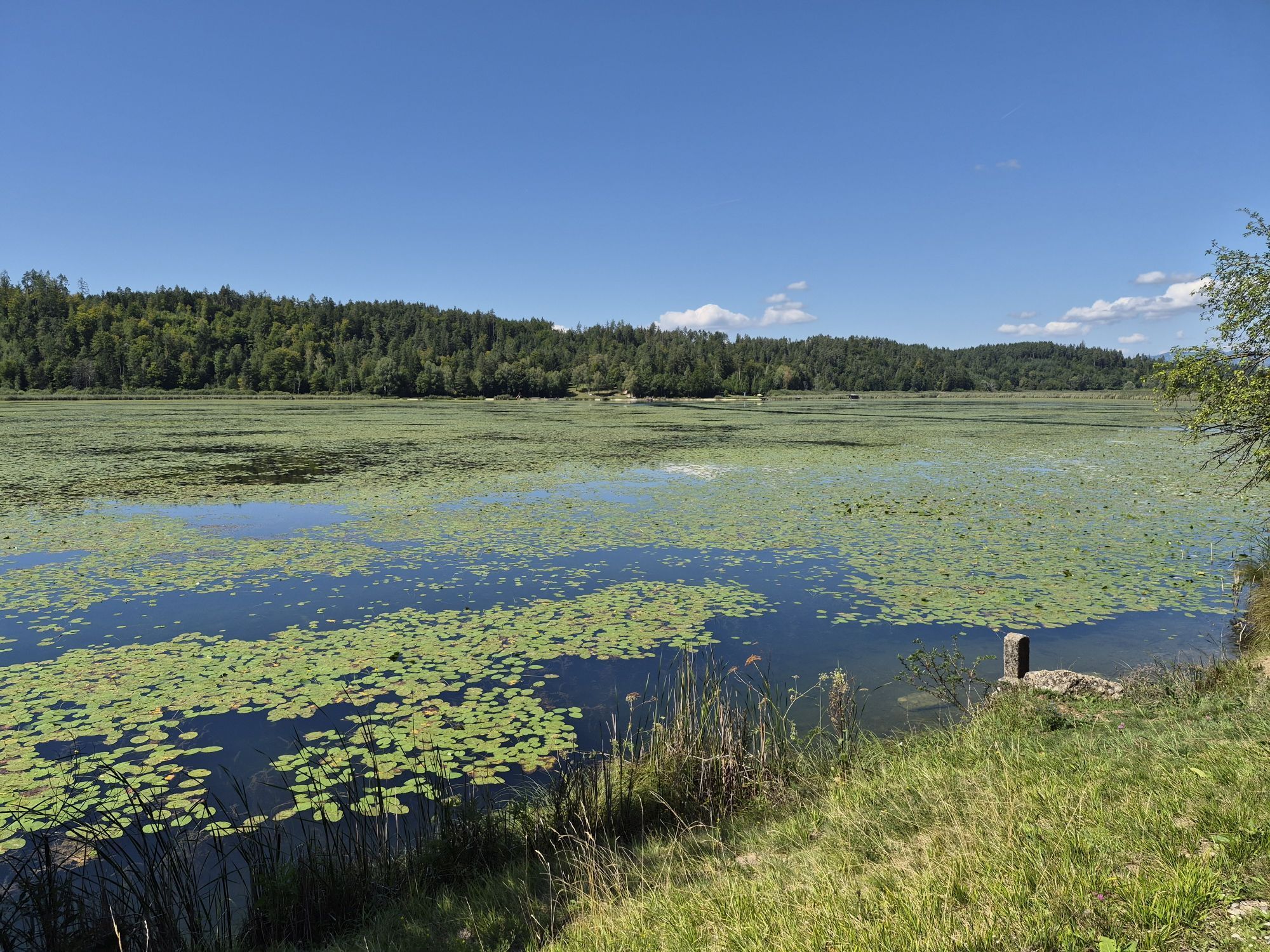
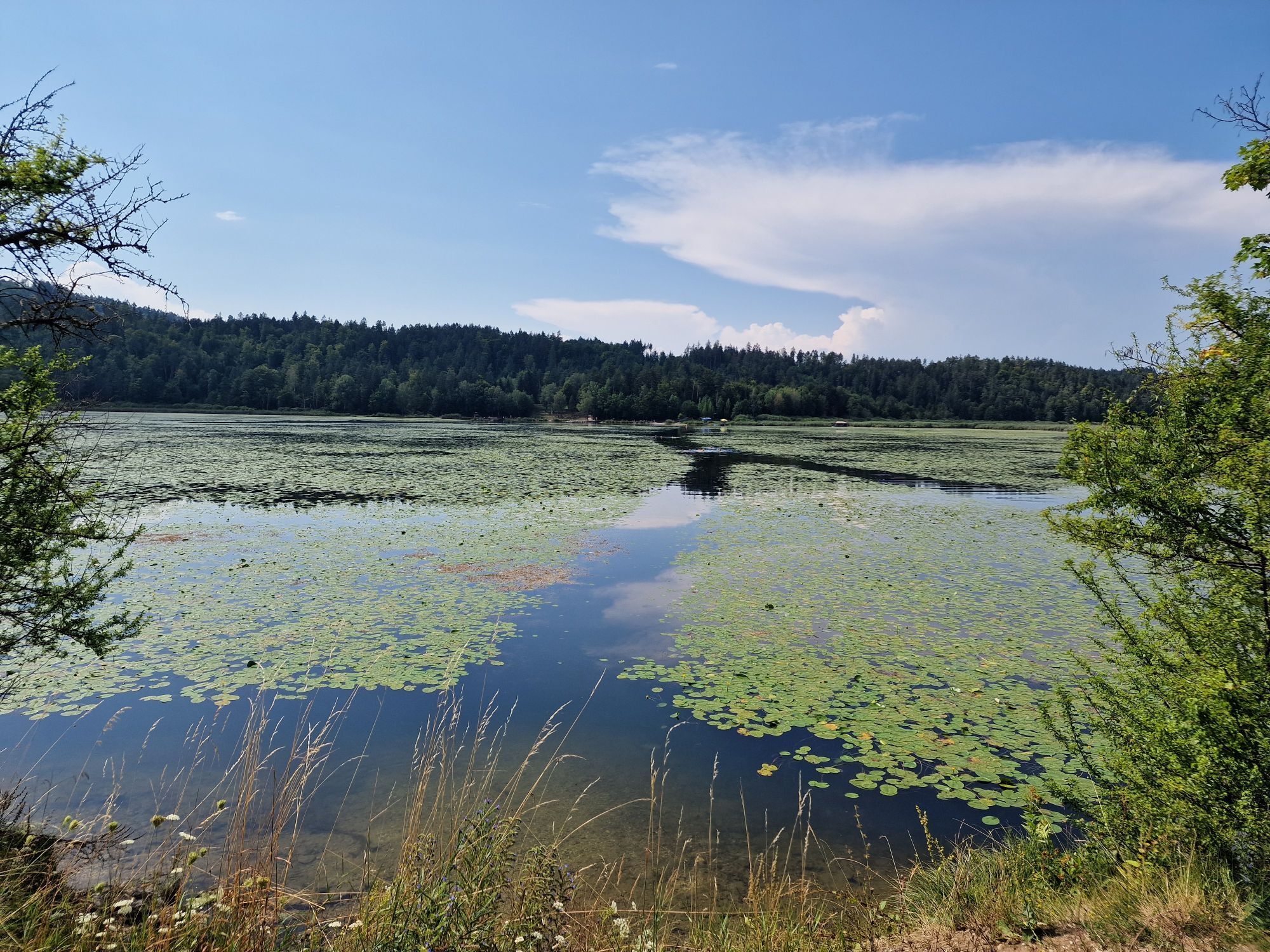
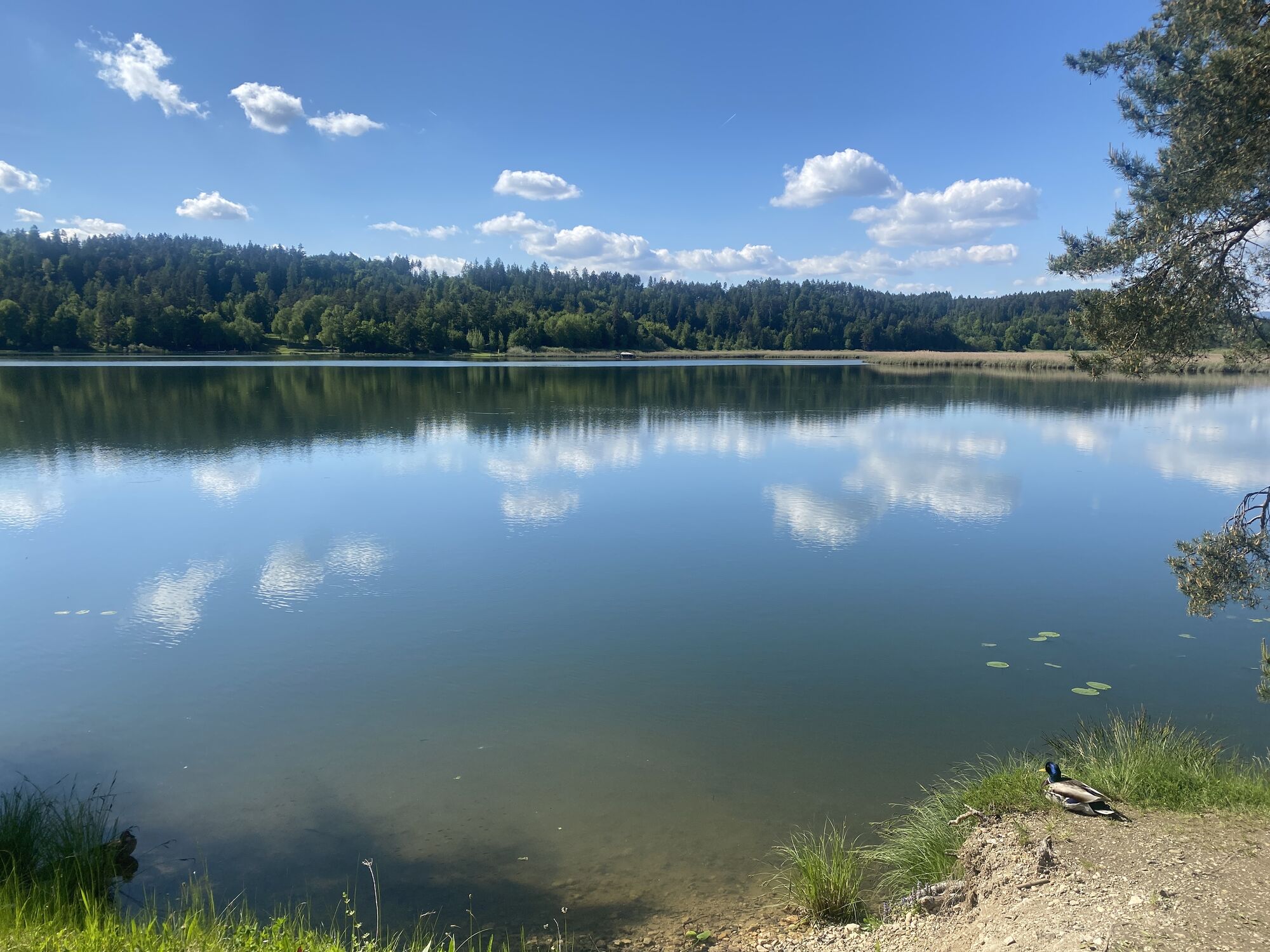
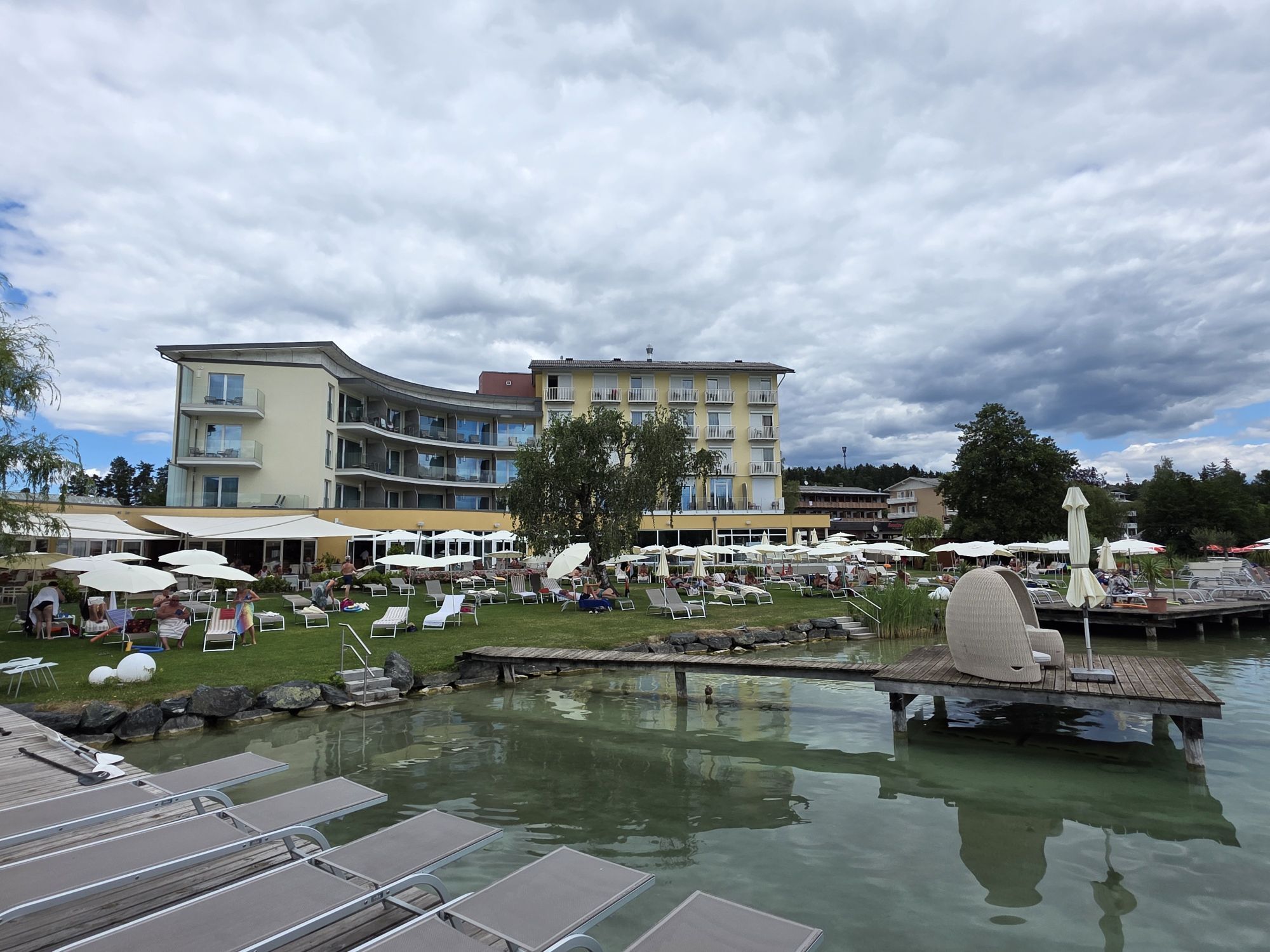
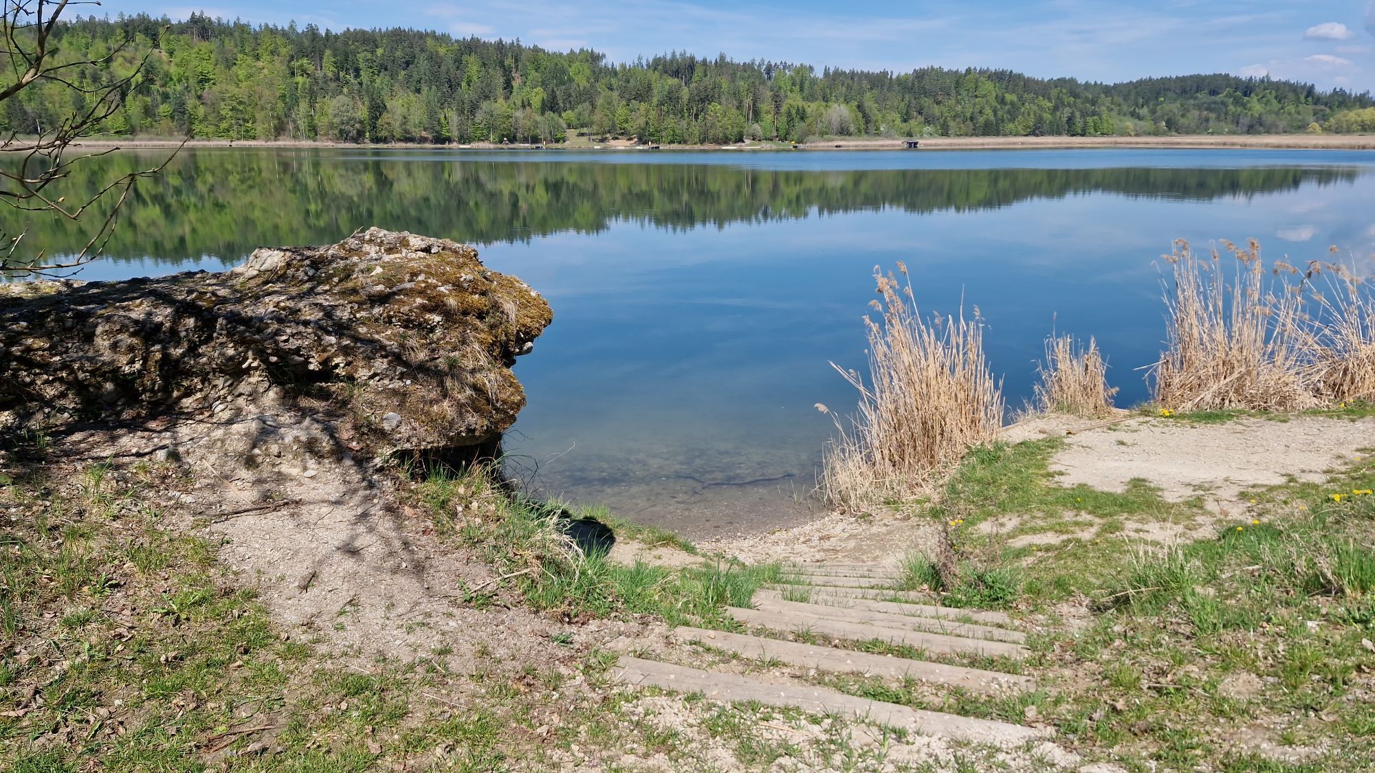
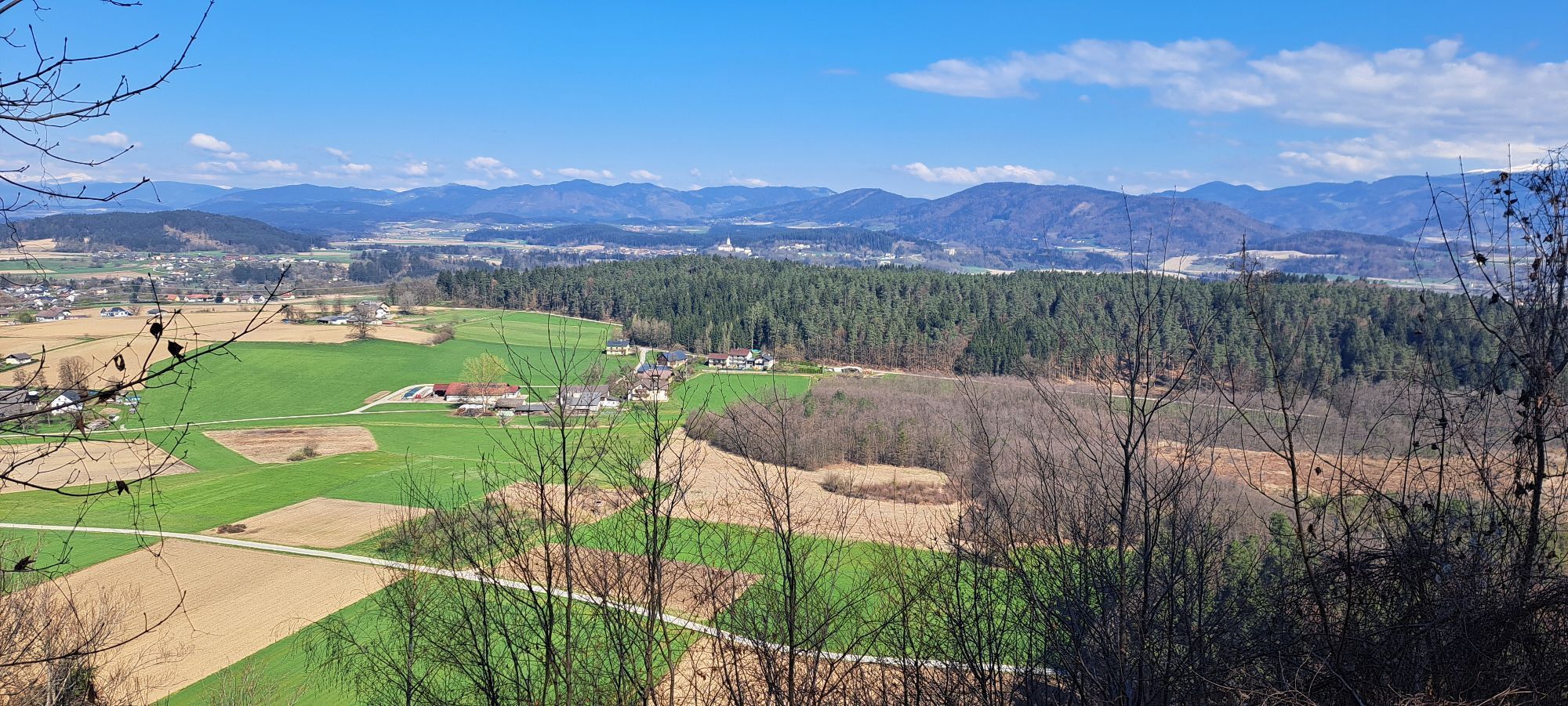
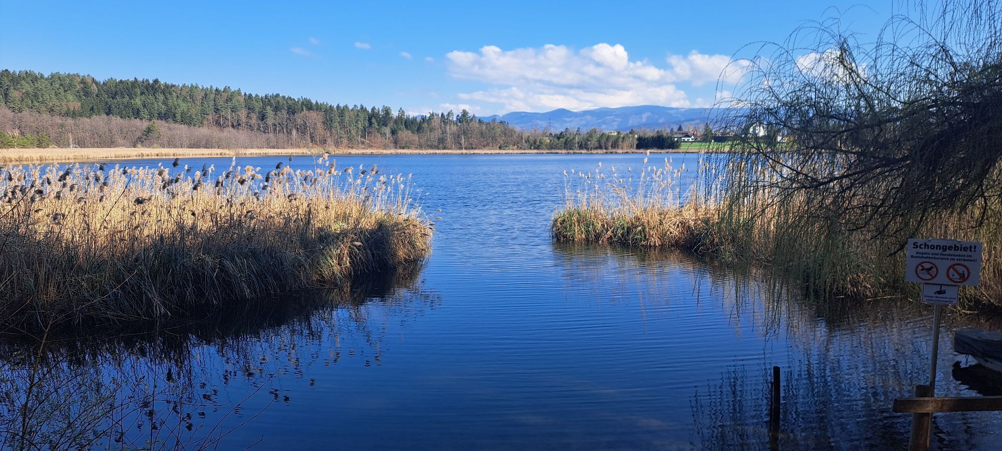
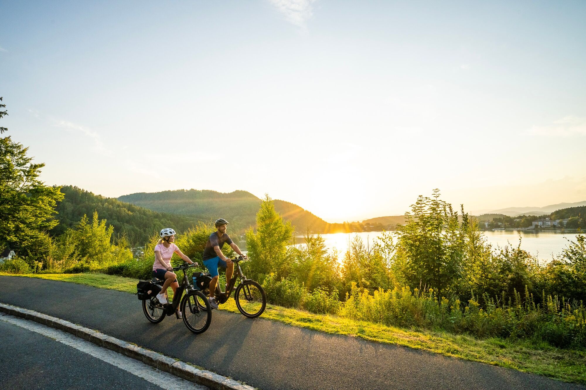
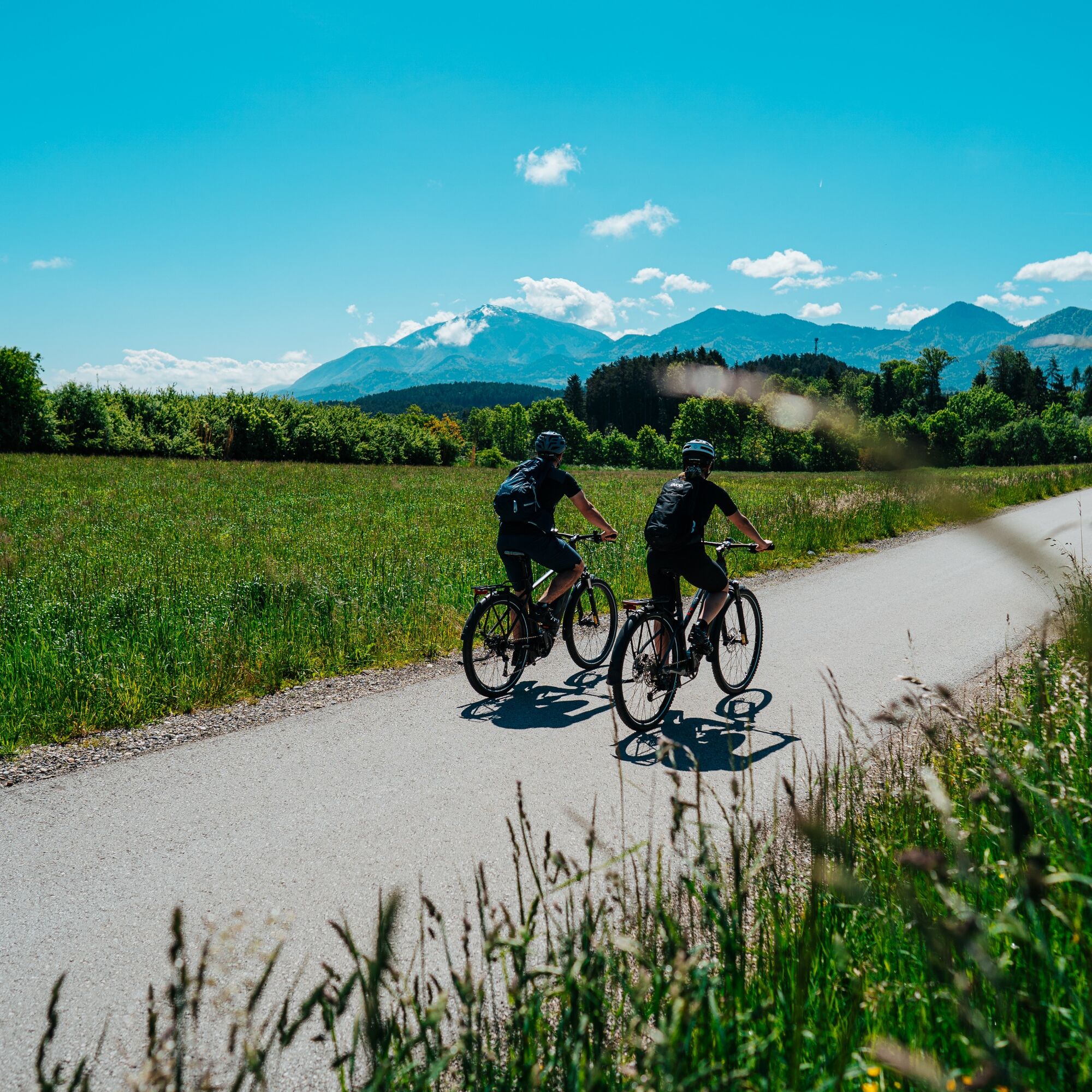
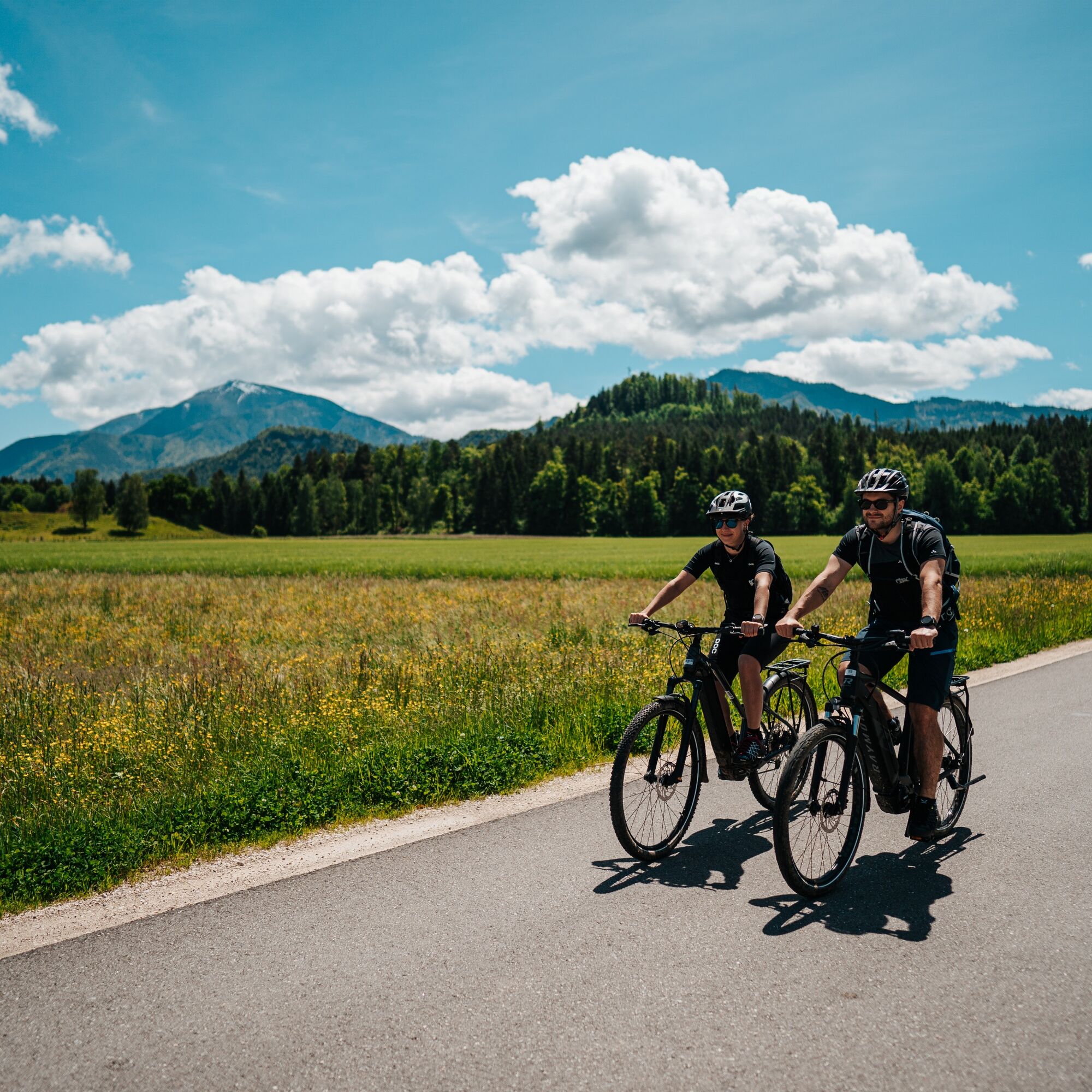
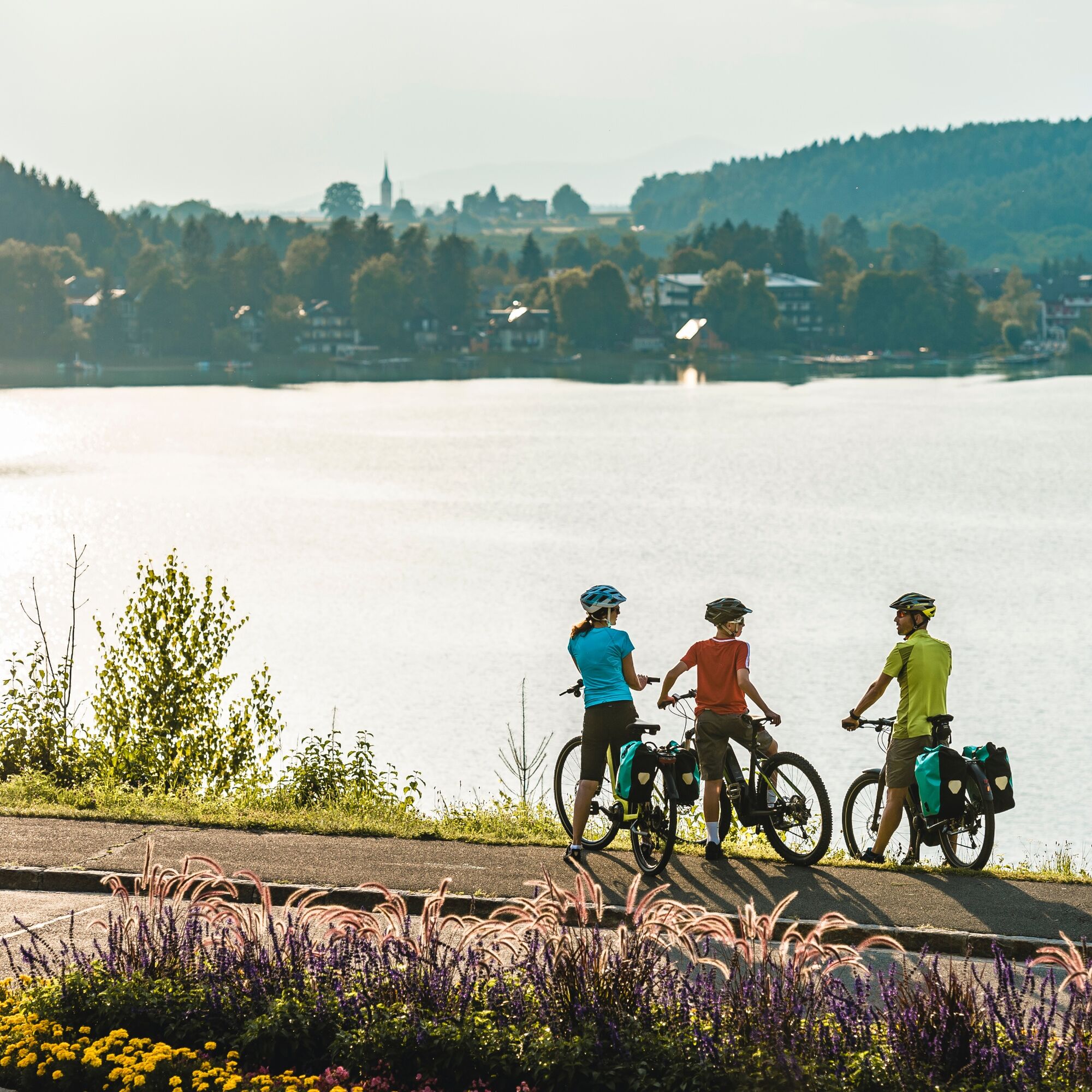
This tour leads past six of the seven bathing lakes through the very south of Austria. The tour is around 54 km long and offers the perfect mix of exercise and adventure. Whether you are a leisure cyclist, gravel biker or racing cyclist - this classic in southern Carinthia will delight you with its varied route and fantastic scenery.

Trasa
Seelach
(450 m)
Wioska
0,2 km
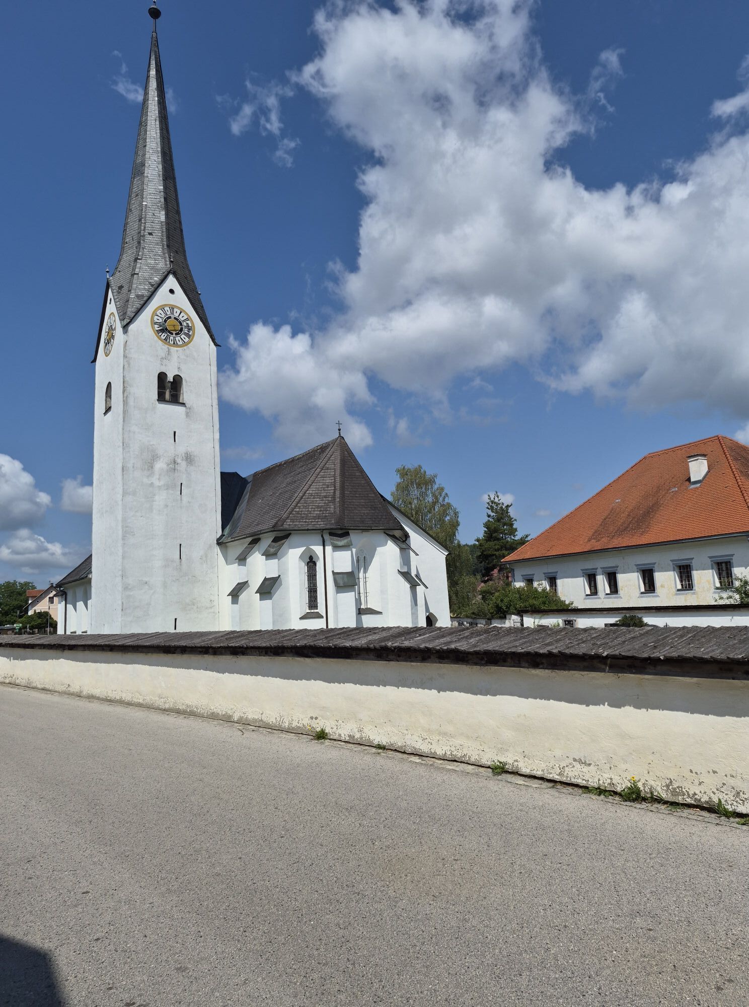
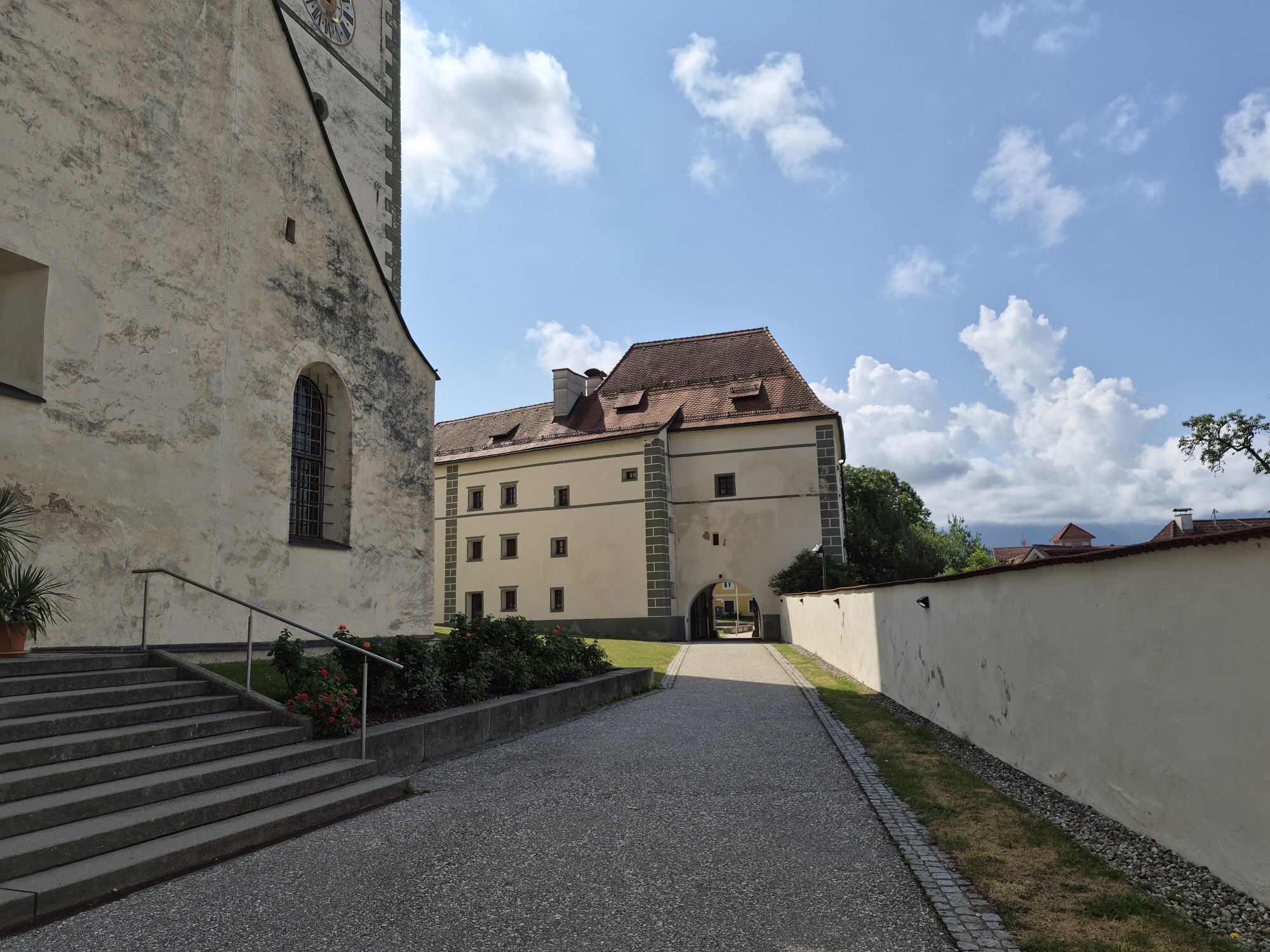
Pfarrkirche hl. Helena
(500 m)
Miejsce kultu
18,1 km
Pfarrkirche Sankt Filippen ob Sonegg
(569 m)
Miejsce kultu
22,5 km
Pfarrkirche Maria Magdalena
(542 m)
Miejsce kultu
28,7 km
Pfarrkirche Maria Magdalena
(542 m)
Miejsce kultu
39,4 km
Filialkirche Köcking
(498 m)
Miejsce kultu
44,5 km
Eberndorf/Dobrla vas
(468 m)
Wioska
46,4 km
Trasa
Mapa
6-lake cycle tour in southern Carinthia
średni
Jazda na rowerze
53,83 km
Seelach
(450 m)
Wioska
0,2 km
Klopein
(456 m)
Wioska
0,2 km
Steinerberg
(465 m)
Rozliczenie
1,7 km
Sankt Veit im Jauntal/Šentvid v Podjuni
(524 m)
Wioska
4,7 km
Nageltschach/Nagelče
(513 m)
Rozliczenie
6,3 km
Sankt Primus/Šentprimož
(513 m)
Rozliczenie
6,6 km
Lauchenholz/Gluhi Les
(509 m)
Rozliczenie
8,0 km
Landgasthof Piroutz
(487 m)
Restauracja
9,4 km
Gasthof-Pension Sablatnighof
(488 m)
Restauracja
10,5 km
Gösselsdorf/Goselna vas
(481 m)
Wioska
13,1 km
Zur Rose
(476 m)
Restauracja
16,2 km
Weinberg/Vinogradi
(496 m)
Rozliczenie
16,2 km
Sittersdorf/Žitara vas
(500 m)
Wioska
17,3 km
Pfarrkirche hl. Helena
(500 m)
Miejsce kultu
18,1 km
Sielach/Sele
(547 m)
Wioska
20,1 km
Tichoja/Tihoja
(565 m)
Rozliczenie
22,4 km
Pfarrkirche Sankt Filippen ob Sonegg
(569 m)
Miejsce kultu
22,5 km
Altendorf/Stara vas
(575 m)
Rozliczenie
23,2 km
Gasthof Skoff
(571 m)
Restauracja
23,2 km
Wrießnitz
(558 m)
Rozliczenie
23,7 km
Kristendorf/Kršna vas
(550 m)
Rozliczenie
24,0 km
Unterbergen
(543 m)
Rozliczenie
24,8 km
Jaunstein/Podjuna
(530 m)
Rozliczenie
26,3 km
Jaunstein
(550 m)
Miejsce kultu
26,6 km
Globasnitz/Globasnica
(541 m)
Wioska
28,6 km
Gasthaus Hudl
(542 m)
Restauracja
28,6 km
Pfarrkirche Maria Magdalena
(542 m)
Miejsce kultu
28,7 km
Wackendorf/Večna vas
(532 m)
Wioska
30,3 km
Hl. Martin
(536 m)
Miejsce kultu
30,4 km
Unterbergen/Podgora
(551 m)
Rozliczenie
31,6 km
Restaurant Hotel Pirkdorfersee
(516 m)
Restauracja
33,7 km
Pirkdorf/Breška vas
(514 m)
Wioska
35,8 km
Wackendorf/Večna vas
(532 m)
Wioska
37,7 km
Pfarrkirche Maria Magdalena
(542 m)
Miejsce kultu
39,4 km
Globasnitz/Globasnica
(541 m)
Wioska
39,4 km
Gasthaus Hudl
(542 m)
Restauracja
39,5 km
Jaunstein
(550 m)
Miejsce kultu
41,4 km
Jaunstein/Podjuna
(530 m)
Rozliczenie
41,6 km
Loibegg
(526 m)
Wioska
43,0 km
Cafe Restaurant Lisi
(502 m)
Restauracja
43,9 km
Filialkirche Köcking
(498 m)
Miejsce kultu
44,5 km
Köcking
(510 m)
Wioska
44,5 km
Kirchenwirt
(475 m)
Restauracja
46,4 km
Eberndorf/Dobrla vas
(468 m)
Wioska
46,4 km
Buchbrunn/Bukovje
(451 m)
Rozliczenie
49,0 km
Unterburg
(465 m)
Wioska
50,6 km
Seelach
(450 m)
Wioska
53,6 km
Klopein
(456 m)
Wioska
53,7 km
Informacje o wycieczce

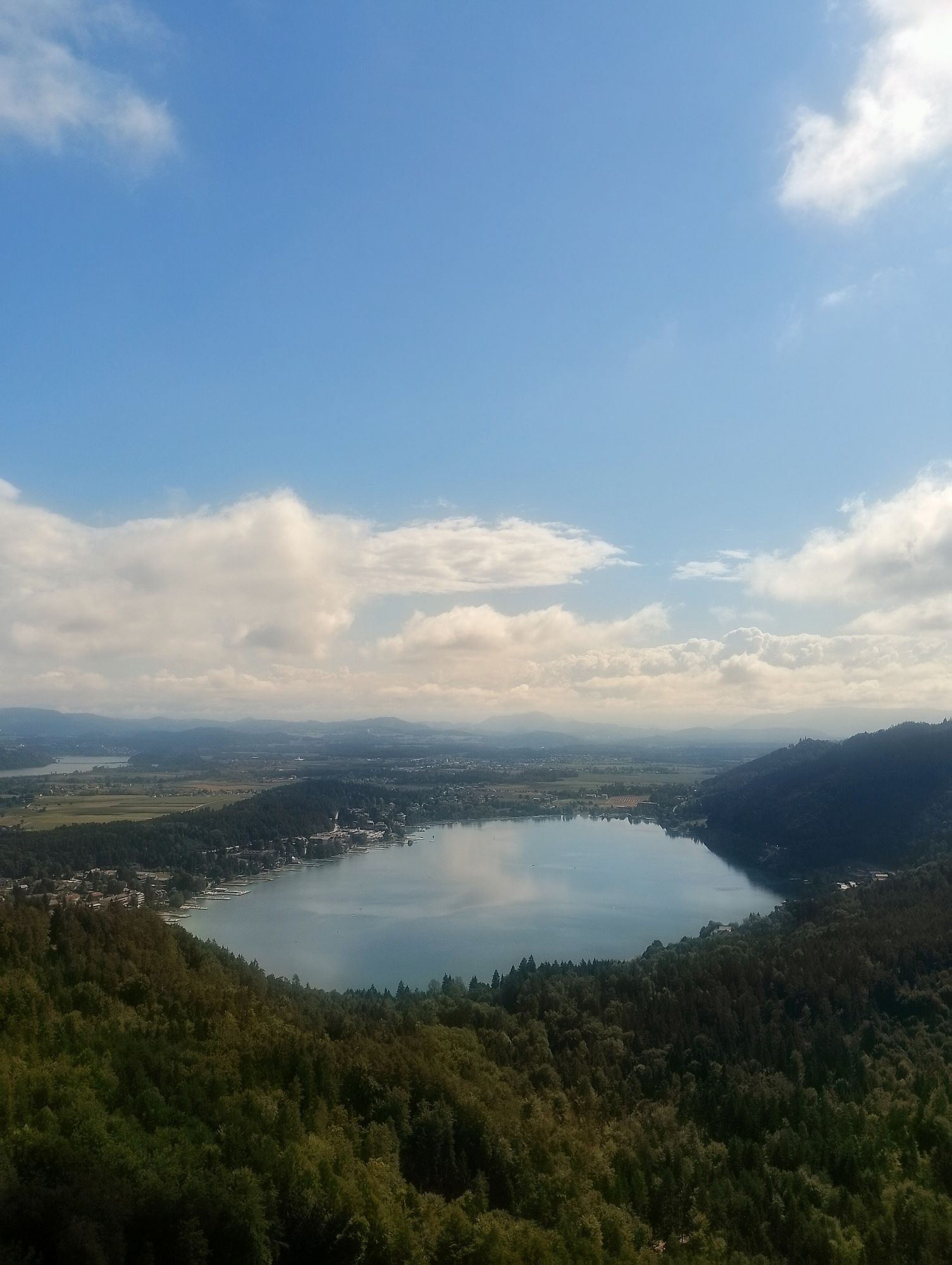
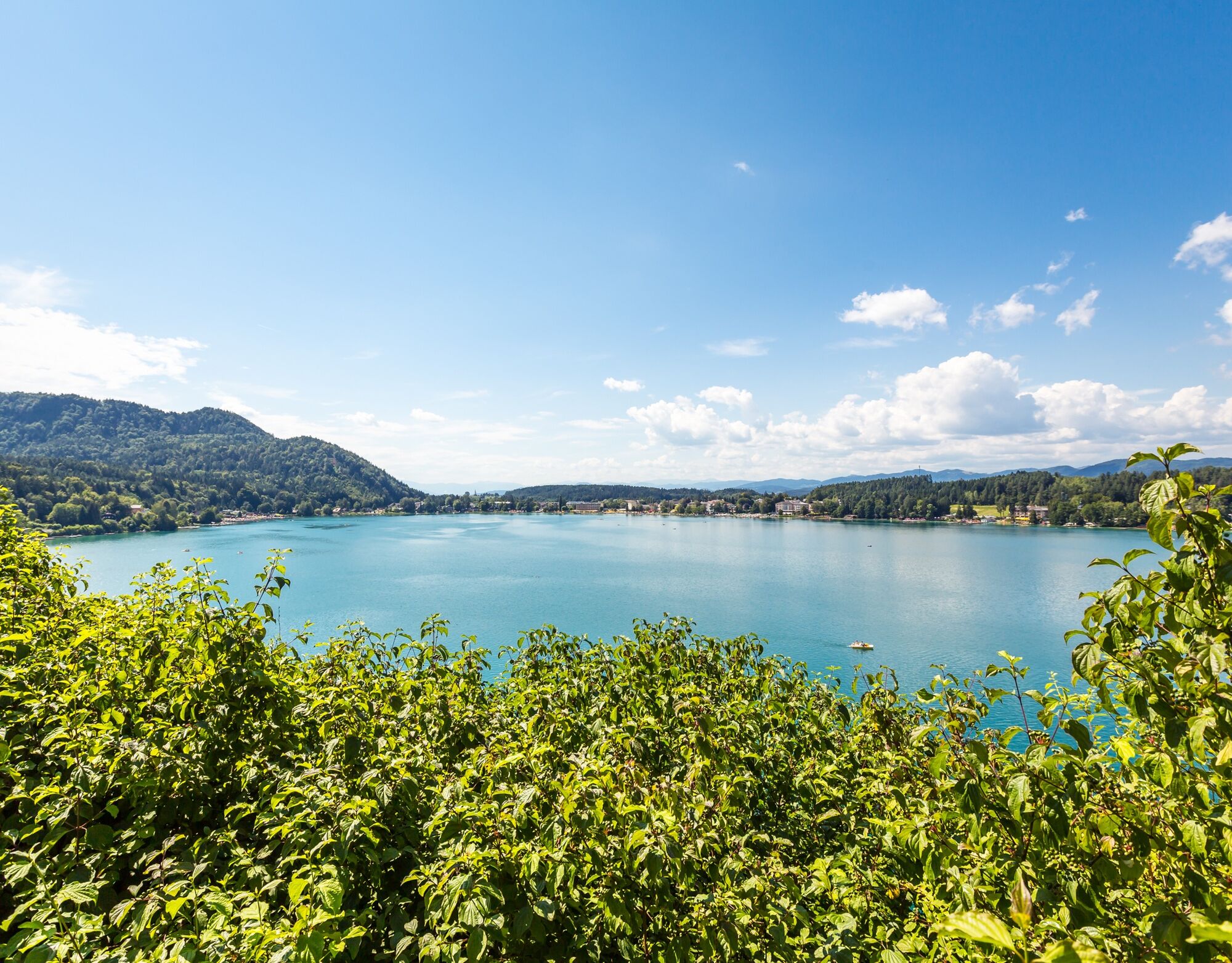
The classic! An enjoyable tour from Lake Klopeiner See via Kleinsee, Turnersee, Gösselsdorfer See, Sonnegger See to Lake Pirkdorfer See and back. A leisurely all-day tour through the most beautiful lake landscapes - ideal for relaxing and discovering!

Technologia
3 / 6
Stan
4 / 6
Krajobraz
6 / 6
Doświadczenie
6 / 6
Najlepsza pora roku
Sty
Lut
Mar
Kwi
Maj
Cze
Lip
Sie
Wrz
Paź
Lis
Gru
Udostępnij trasę
Mapa
6-lake cycle tour in southern Carinthia
średni
Jazda na rowerze
53,83 km
Błąd
Wystąpił błąd. Spróbuj ponownie.
Ostatnio śledzony 2 dni temu
Informacje o trasie
Trasa
We start our bike tour at the bike info point of the tourist information office Klopeiner See - Südkärnten in St. Kanzian (Schulstraße 10) and ride down the hill to Lake Klopeiner See towards the center. Through the center, past the Hotel Sonne and the Genusshotel Silvia, we turn right towards Steinerberg. We continue past the Kleinsee lake to St. Veit im Jauntal, then through the small village of Nageltschach on to St. Primus. In St. Primus we cross the road in the direction of Lauchenholz and ride past the Turnersee lake. At the Piroutz country inn, we keep right and continue past the Sablatnigmoor to Gösselsdorf. In Gösselsdorf, we turn right and continue to the Gösselsdorfer See lake. We now have the lake on our right and continue to Sittersdorf, where we turn left (not Bleiburger Straße) and follow the road to Sielach and Tichoja. We pass the Sonnegger See lake on the southern side and continue through the small villages of Kristendorf and Unterbergen through Jaunstein to Globasnitz. We cross Globasnitz and continue to Wackendorf, keep right there and ride through Unterbergen towards Pirkdorf am See. We circle the foot of the Ferrakogel and pass Lake Pirkdorf before heading back towards Pirkdorf. Now we are already on our way back and cycle via Wackendorf back via Globasnitz to Jaunstein. Here we turn right towards Loibegg. We cross the Bleiburg main road and turn left in Loibegg. Now we cycle along the main road along the cycle path through Hart and Köcking to Eberndorf and on to Eberndorf Abbey and along the cycle path through the fields to Buchbrunn, Unterburg and back to St. Kanzian.
Odpowiedni dla rodzin

Tak

Sprzęt
E-bike, trekking bike, gravel bike, racing bike or mountain bike, water bottle

Instrukcje bezpieczeństwa

Rain protection, sun protection, helmet

Informacje o przyjeździe
Przybycie
Arrival by train(ÖBB or WESTBAHN) Take the train to the Koralm train station "Kühnsdorf-Klopeiner See". From Graz main station in approx. 33 minutes with ÖBB or WESTBAHN. From Klagenfurt main station in approx. 12 minutes with ÖBB or WESTBAHN.

From the train station to the starting point or to one of the bike rental stations around Lake Klopeiner See

With the Postbus Shuttle South Carinthia (no bike transport) With the ÖBB train station transfer With the Carinthian Lines bus

Arrival by car

A2 - Grafenstein exit via Tainach to the Klopeiner See. A2 - Exit Völkermarkt Ost or Völkermarkt West
Transport publiczny

By train to the Koralm train station "Kühnsdorf-Klopeiner See".
From Graz main station in approx. 33 minutes with ÖBB or WESTBAHN.
From Klagenfurt main station in approx. 12 minutes with ÖBB or WESTBAHN.
On the cycle path through Wasserhofen to Unterburg on Lake Klopeiner See.
Continue along the cycle path along the northern shore of Lake Klopeiner See to the starting point of the tour at the cycle info point at the tourist information office in St. Kanzian am Klopeiner See (Schulstraße 10, 9122 St. Kanzian am Klopeiner See.

Parking

Municipal parking lot at the tourist information Klopeiner See - South Carinthia (Note: subject to charges)
Municipal parking lot Camping Nord (north shore)
Municipal parking lot south shore

Dodatkowe informacje i wskazówki
Poziom trudności

3

Dodatkowe informacje

www.klopeinersee.at/rad

Wskazówki

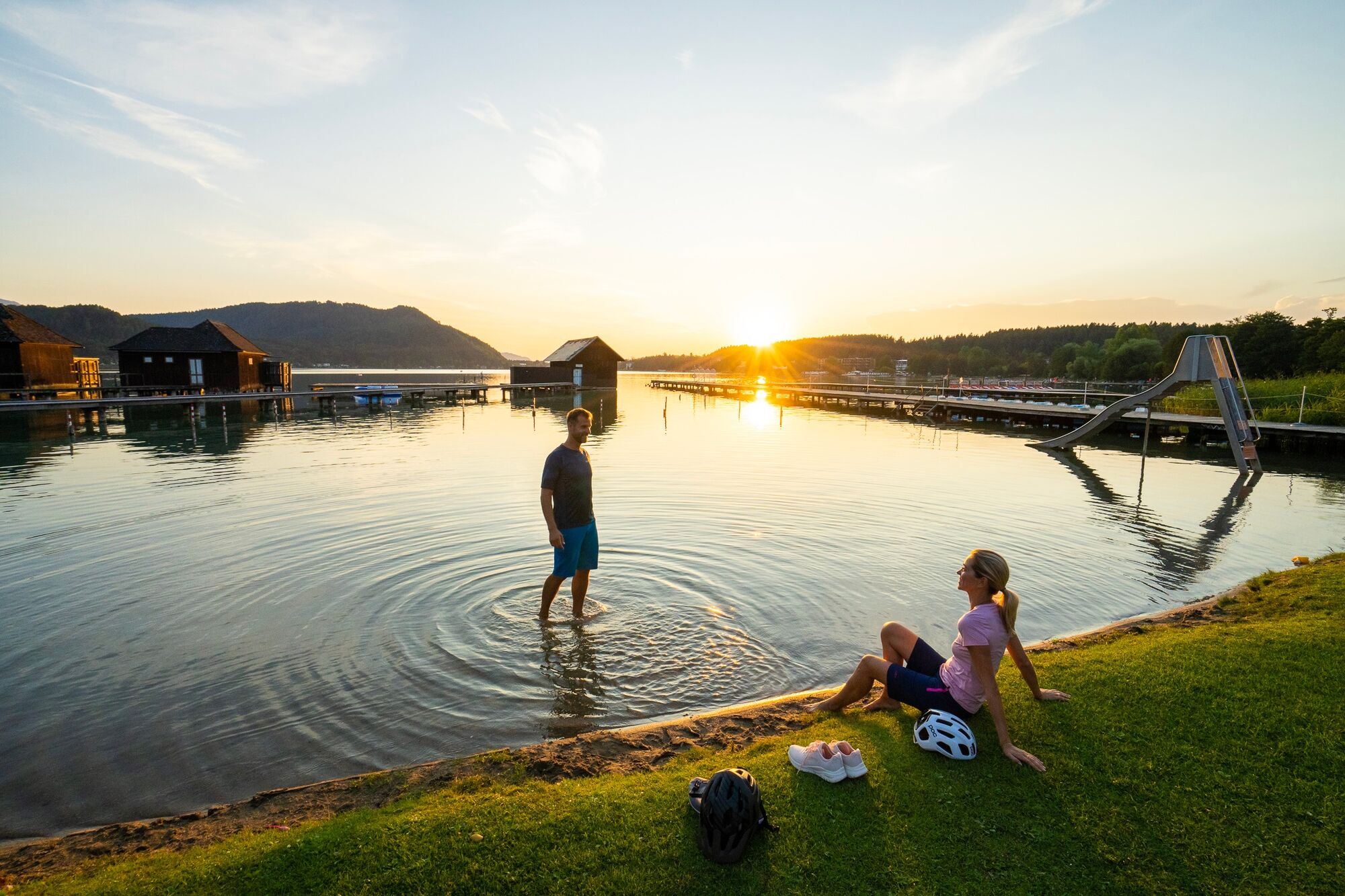
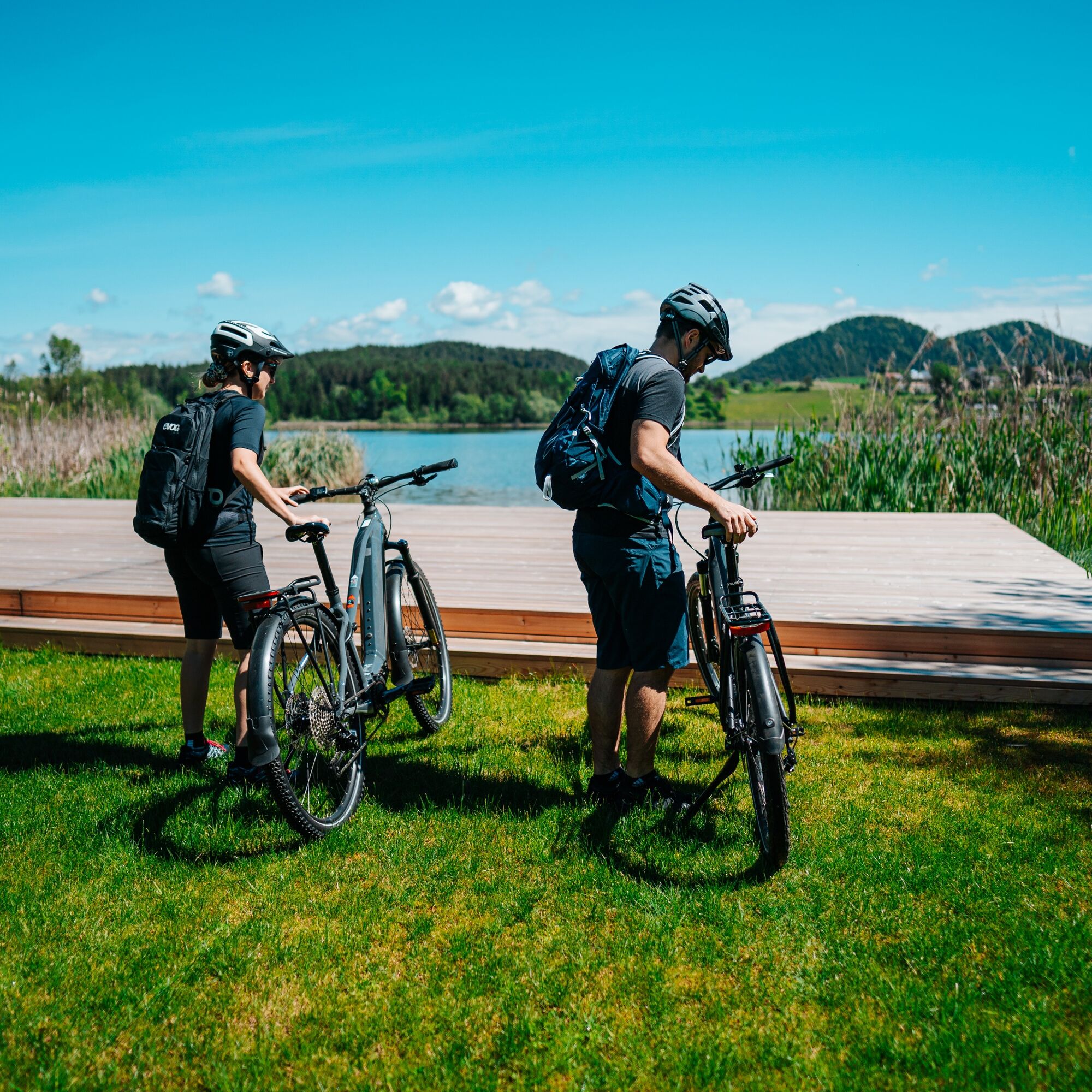
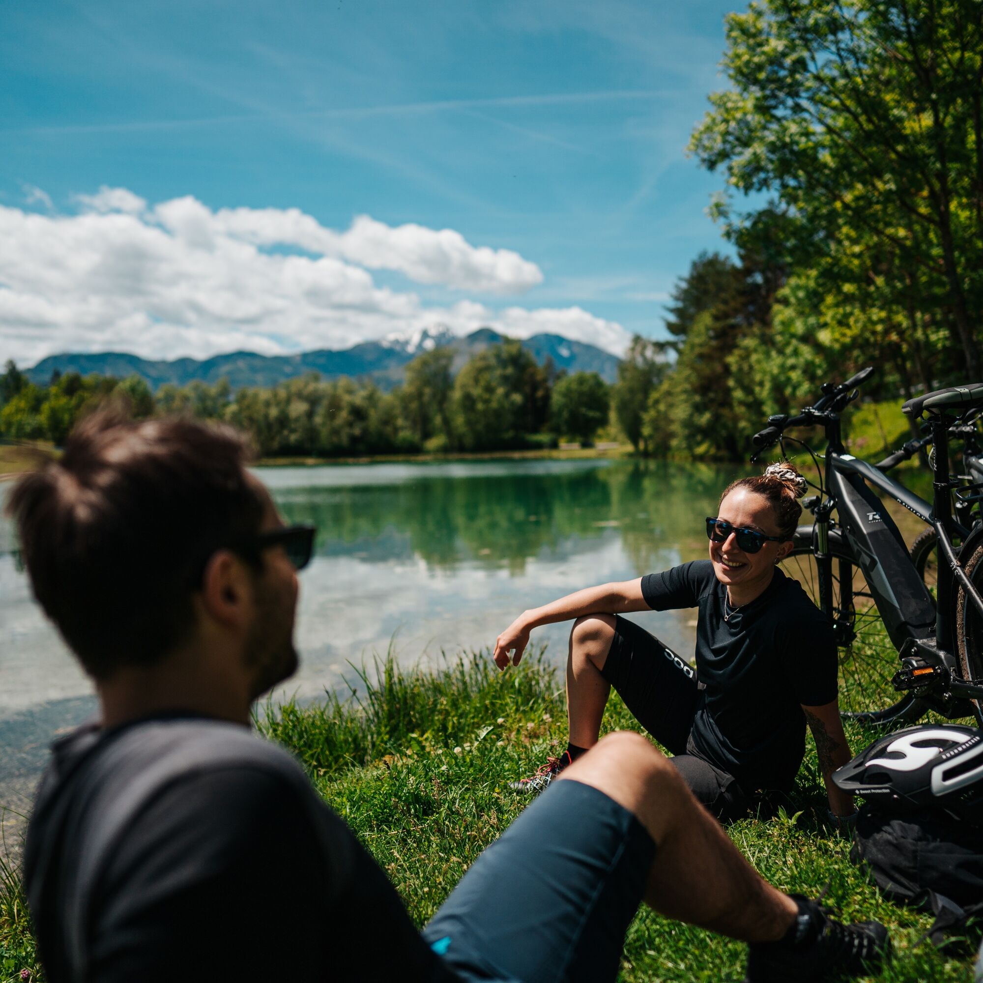
Don't forget your swimming trunks, because a dip in the lake is never far away!
Wyceny
4,2
5
(9)
4
(4)
3
(3)
2
(1)
1
(0)
6 Komentarze
Awatar z Pixelmaker
Pixelmaker
22. sie. 2026
6seen mit Sandra und Herbert
Pomocny (0) |
Raport
Błąd
Wystąpił błąd. Spróbuj ponownie.
Awatar z Andi Hoch73
Andi Hoch73
12. sie. 2026
Schöne Vormittagstour
Pomocny (0) |
Raport
Awatar z G'Stein
G'Stein
13. sie. 2025
Sehr schöne Tour abseits des Trubels!
Sehr schöne mittellange Tour, immer auf Radwegen und untergeordneten Straßen (2 kurze Stücke auf Schotter bzw. unbefestigt)!
Pomocny (0) |
Raport
Wyceny
Mapa
6-lake cycle tour in southern Carinthia
średni
Jazda na rowerze
53,83 km
4,2
5
(9)
4
(4)
3
(3)
2
(1)
1
(0)
6 Komentarze
Awatar z Pixelmaker
Pixelmaker
22. sie. 2026
6seen mit Sandra und Herbert
Pomocny (0) |
Raport
Awatar z Andi Hoch73
Andi Hoch73
12. sie. 2026
Schöne Vormittagstour
Pomocny (0) |
Raport
Awatar z G'Stein
G'Stein
13. sie. 2025
Sehr schöne Tour abseits des Trubels!
Sehr schöne mittellange Tour, immer auf Radwegen und untergeordneten Straßen (2 kurze Stücke auf Schotter bzw. unbefestigt)!
Pomocny (0) |
Raport
Awatar z Peter Jürgens
Peter Jürgens
07. cze. 2025
Sechs-Seen-Tour
Pomocny (0) |
Raport
Awatar z mapl
mapl
20. sie. 2024
6-Seen-Runde Klopeiner See
Pomocny (0) |
Raport
Awatar z Günther Pretl
Günther Pretl
24. cze. 2024
6 Seenrunde
Pomocny (0) |
Raport
Napisz recenzję

Recenzje pomagają innym użytkownikom wybrać kolejną przygodę. Oceniaj tylko trasę, a nie pogodę lub przekąskę.

Wybierz jedną z gwiazdek, aby ocenić wycieczkę
Zła trasa
Słaba trasa
Przeciętna wycieczka
Dobra wycieczka
Doskonała wycieczka
Wędrówki i tropienie

Wędrówki i tropienie

Wędrówki i tropienie
Ponad 550.000 propozycji wycieczek, szczegółowe mapy i intuicyjny planer tras sprawiają, że aplikacja jest niezbędna dla wszystkich entuzjastów przyrody.
bergfex