



To the Ferlacher Horn from Zell-Winkel via Franzbauer

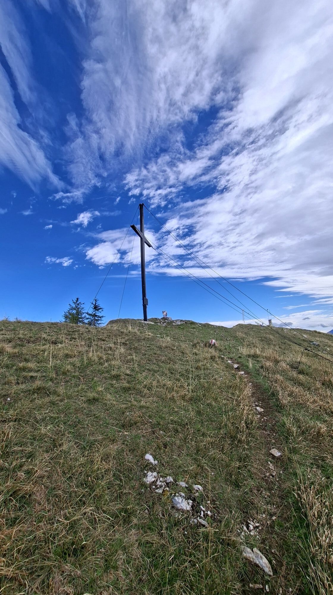
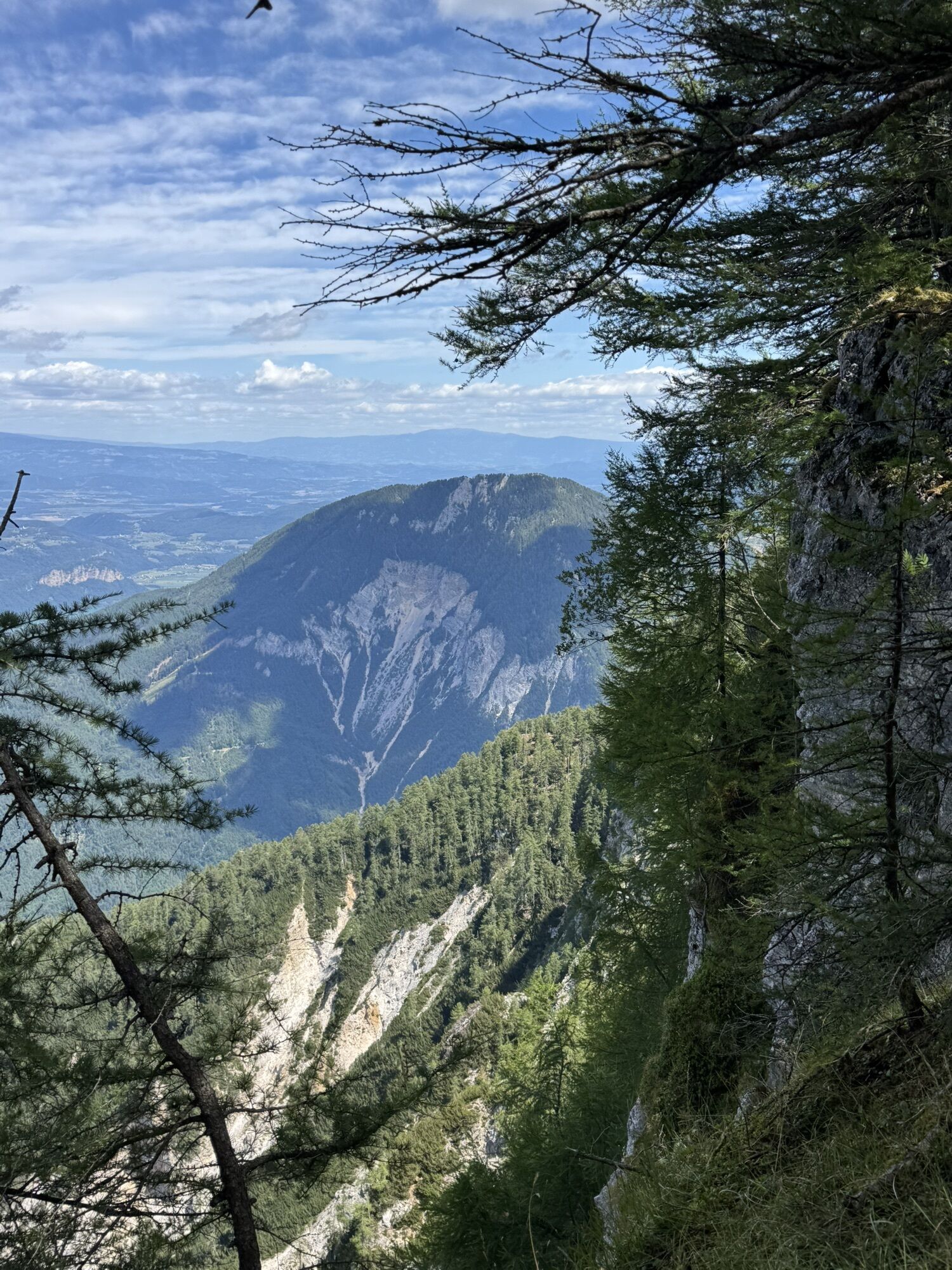
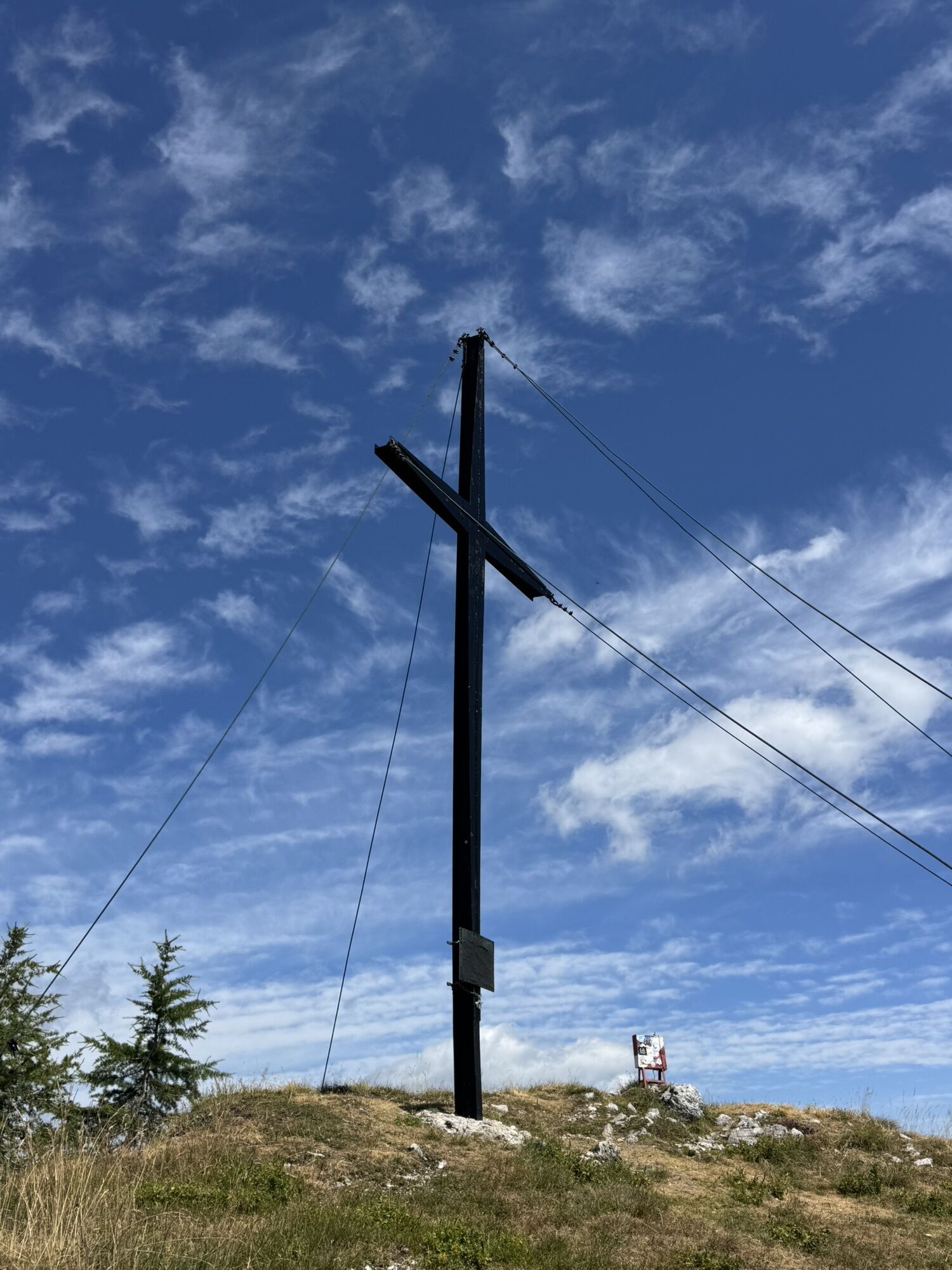
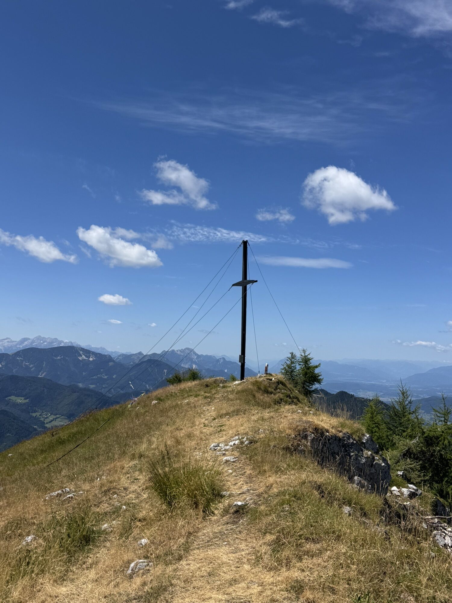
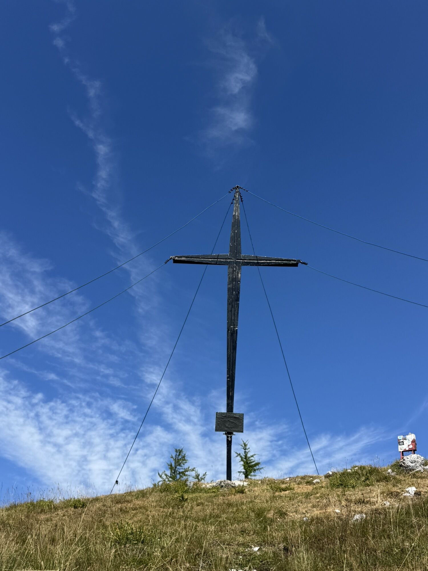


The Ferlacher Horn, also called Gerlautz, Slovenian:
Grlovec, is part of the Karawanks.
The mountain was renamed from its original name Harlouz or Gerloutz to Ferlacher Horn at the beginning of the 20th...
The Ferlacher Horn, also called Gerlautz, Slovenian:
Grlovec, is part of the Karawanks.
The mountain was renamed from its original name Harlouz or Gerloutz to Ferlacher Horn at the beginning of the 20th century. The Ferlacher Horn is home to numerous legendary spirits, ghosts, and the "Saligen Frauen". For the hiker, the Ferlacher Horn, the landmark of the gunsmith city, offers several ascent options. The shortest and at the same time very scenic climb starts in Zell Oberwinkel. Franzbauer: Romantic place with a magnificent view of the towering rock walls of the Karawanks. After 2 1/2 hours you reach the summit; the effort is rewarded with a wonderful view. Koschuta, Loibler Baba, Bilschitza, and Mittagskogel can be seen. At the foot lies the gunsmith city of Ferlach.


Start: Parking lot on the right side of the road.
Follow the paved road steeply uphill over the bridge to the "Franzbauer" property. There, the hiking trail 632 branches off to the left at the last houses. After about 1 hour you reach the W-ridge and meet the Southern Alpine Trail 603. Follow this trail to the right (east) first through the forest, then along the edge of the northern steep slope, and finally over the grassy summit ridge to the Ferlacher Horn. Return the same way as the ascent.
Tak
Tak
complete mountain equipment with sturdy hiking boots, spare clothing, sufficient drink, snack, mobile phone, camera; poles are advantageous for the descent
parking lot in Zell-Oberwinkel on the right side of the road
also often used as a launch site by paragliders

Kamery internetowe z trasy

Aktywności na trasie

Ferlacher Horn, vom Franzbauer
23.09.2026 – Wędrówka
Ferlacher Horn
21.09.2026 – Wędrówka
Ferlacher Horn, Kärnten/Österreich
20.09.2026 – Wędrówka
Zell, Kärnten/Österreich
05.09.2026 – Wędrówka
Ferlacher Horn, Kärnten/Österreich
19.08.2026 – WędrówkaZell, Kärnten/Österreich
19.08.2026 – WędrówkaFerlacher Horn, Kärnten/Österreich
09.08.2026 – WędrówkaFerlacher Horn, Kärnten/Österreich
29.07.2026 – WędrówkaZell
29.07.2026 – WędrówkaZell, Kärnten/Österreich
11.07.2026 – WędrówkaZell, Kärnten/Österreich
11.07.2026 – Wędrówka
Zell, Kärnten/Österreich
13.06.2026 – Wędrówka
Ferlacher Horn, Heli
08.06.2026 – Wędrówka
Zell, Kärnten/Österreich
03.05.2026 – Wędrówka
Zell, Kärnten/Österreich
01.05.2026 – WędrówkaZell, Kärnten/Österreich
19.04.2026 – WędrówkaVom Franzbauer auf das Ferlacher Horn
08.03.2026 – WędrówkaZell, Kärnten/Österreich
07.03.2026 – WędrówkaFerlacher Horn vom Franzenbauer
19.11.2025 – WędrówkaFerlacher Horn mit Mama
08.11.2025 – Wędrówka
Popularne wycieczki w okolicy
- 4,6
Bad Eisenkappel: Hochobir
Wędrówka 5,50 km - 4,2
MTB-Tour zur Klagenfurter Hütte
średniMountainbike 12,6 km - 3,9
Tscheppaschlucht Ferlach
światłoWędrówka 5,90 km - 4,8
Through the Tscheppaschlucht into the Loibltal
średniWędrówka 4,58 km - 4,5
Wandertour Hochobir / Zell
średniWędrówka 5,76 km - 4,6
Water experience trail Hainschgraben
średniWędrówka 9,23 km - 4,6
Slow Trail Meerauge
światłoWędrówka 5,25 km - 4,5
Cycling around Lake Wörthersee – leisurely cycling between turquoise blue water and fantastic views
średniJazda na rowerze 48,2 km - 4,4
Lake Wörthersee Circular Route
średniJazda na rowerze 41,2 km - 4,4
From Bärental to the Kosiak (Klagenfurter Hut)
średniWędrówka 9,67 km
Wędrówki i tropienie


Nie przegap ofert i inspiracji na następne wakacje
Twój adres e-mail została dodana do listy mailingowej.


