


Reichenfels: Hike Peterer Hut - Knödelhütte
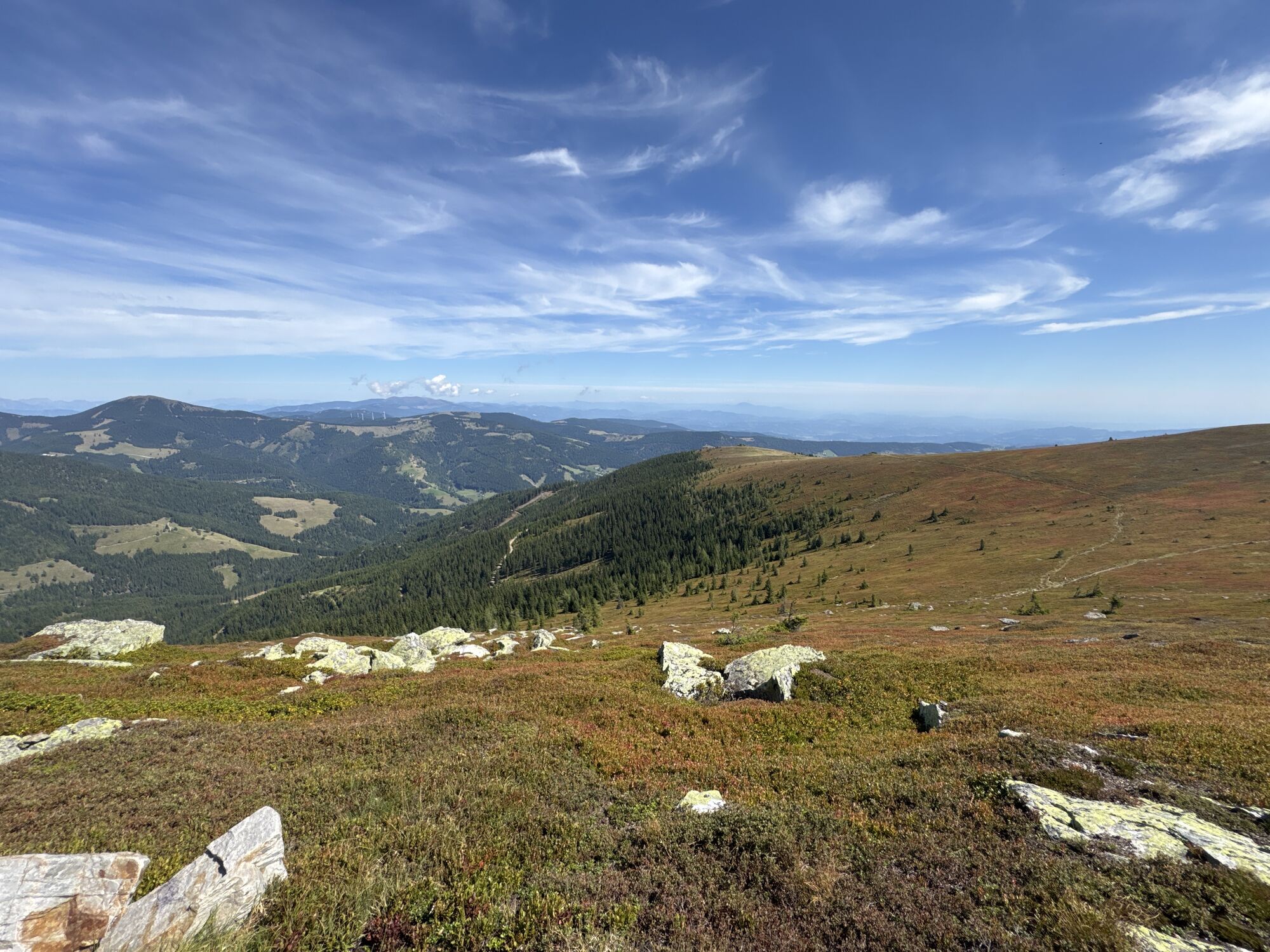
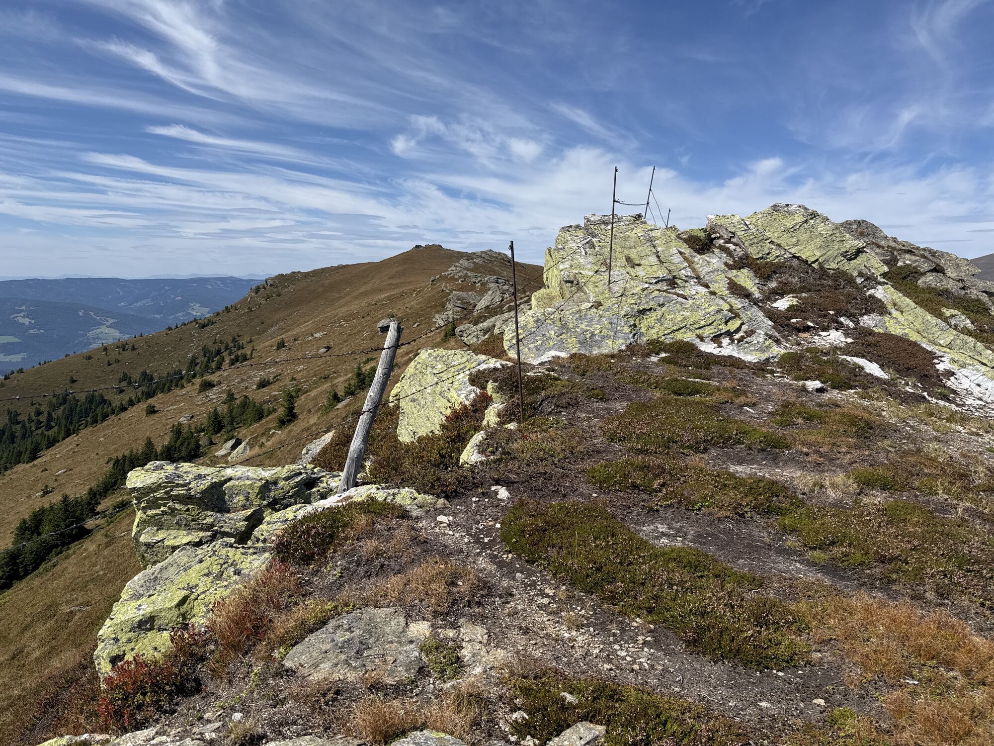
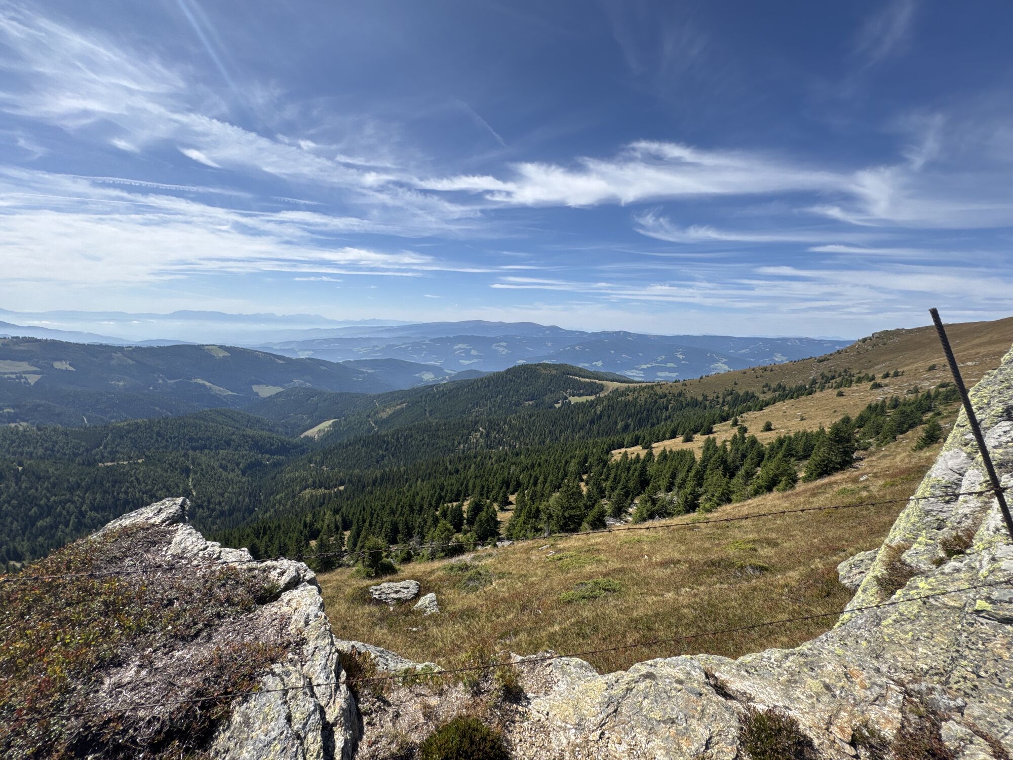


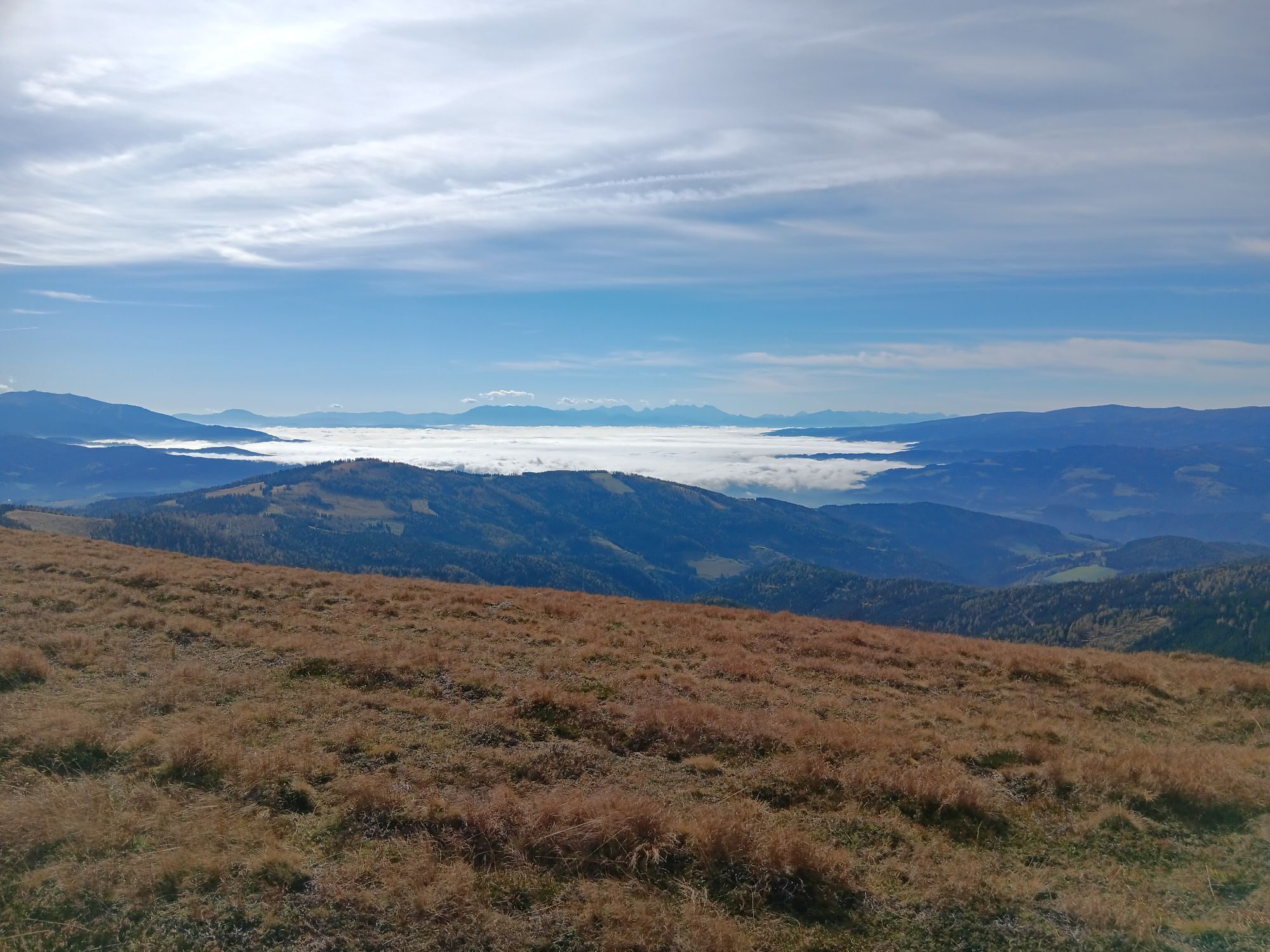
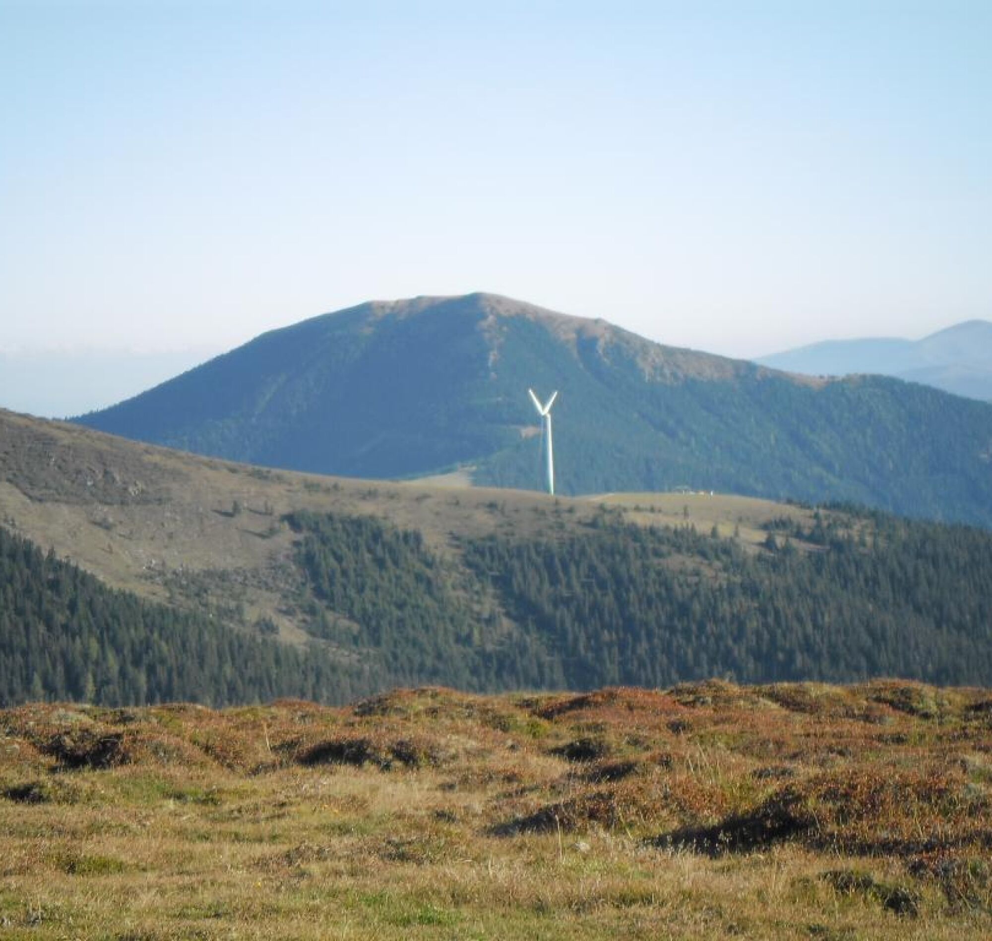
The 120 km long Koralm Crystal Trail leads from Salla on the Stubalpe along the ridge of the Koralpe to the town of Soboth through the ancient rocks of the former supercontinent Pangea. Massive rock formations...
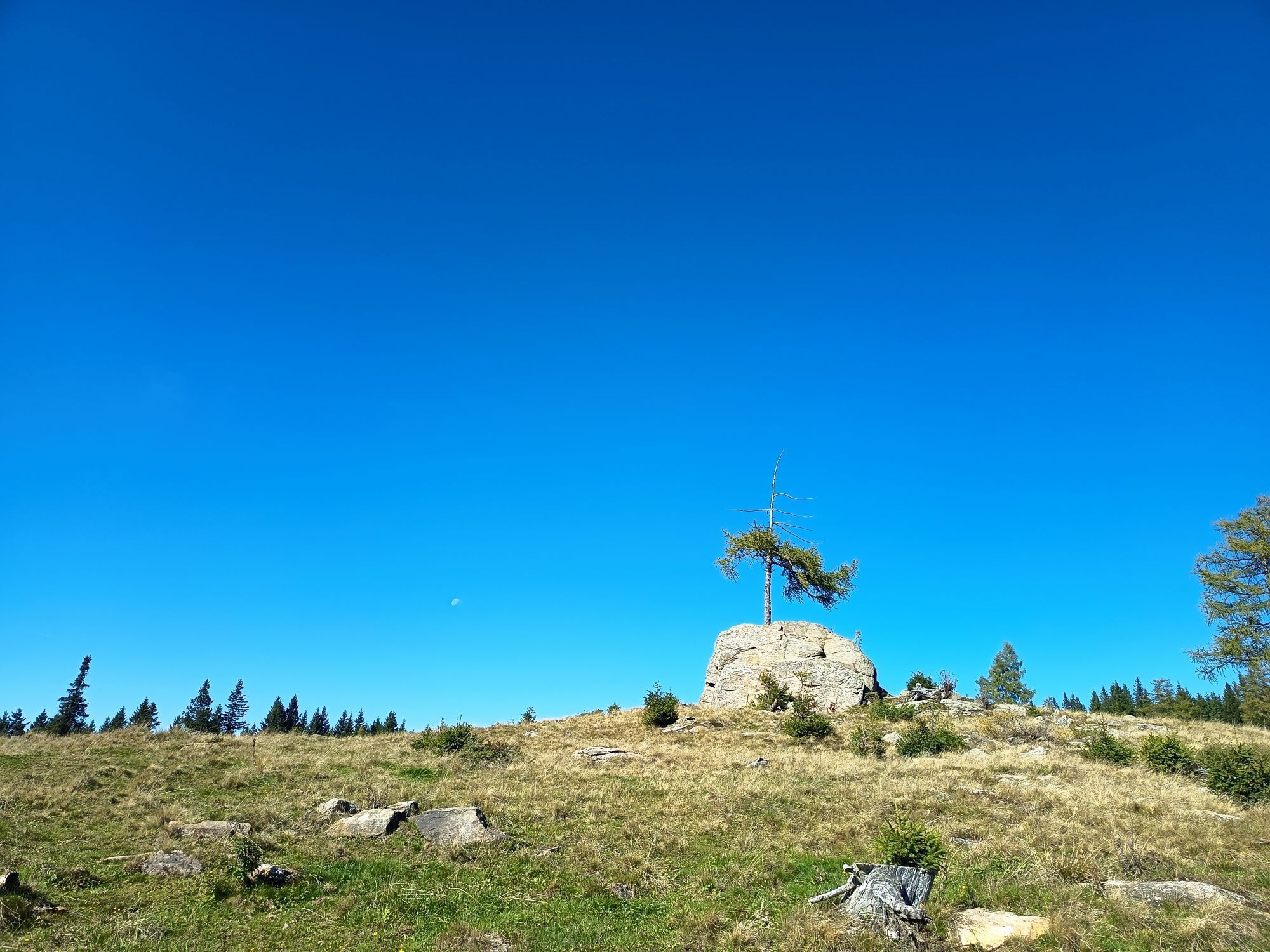
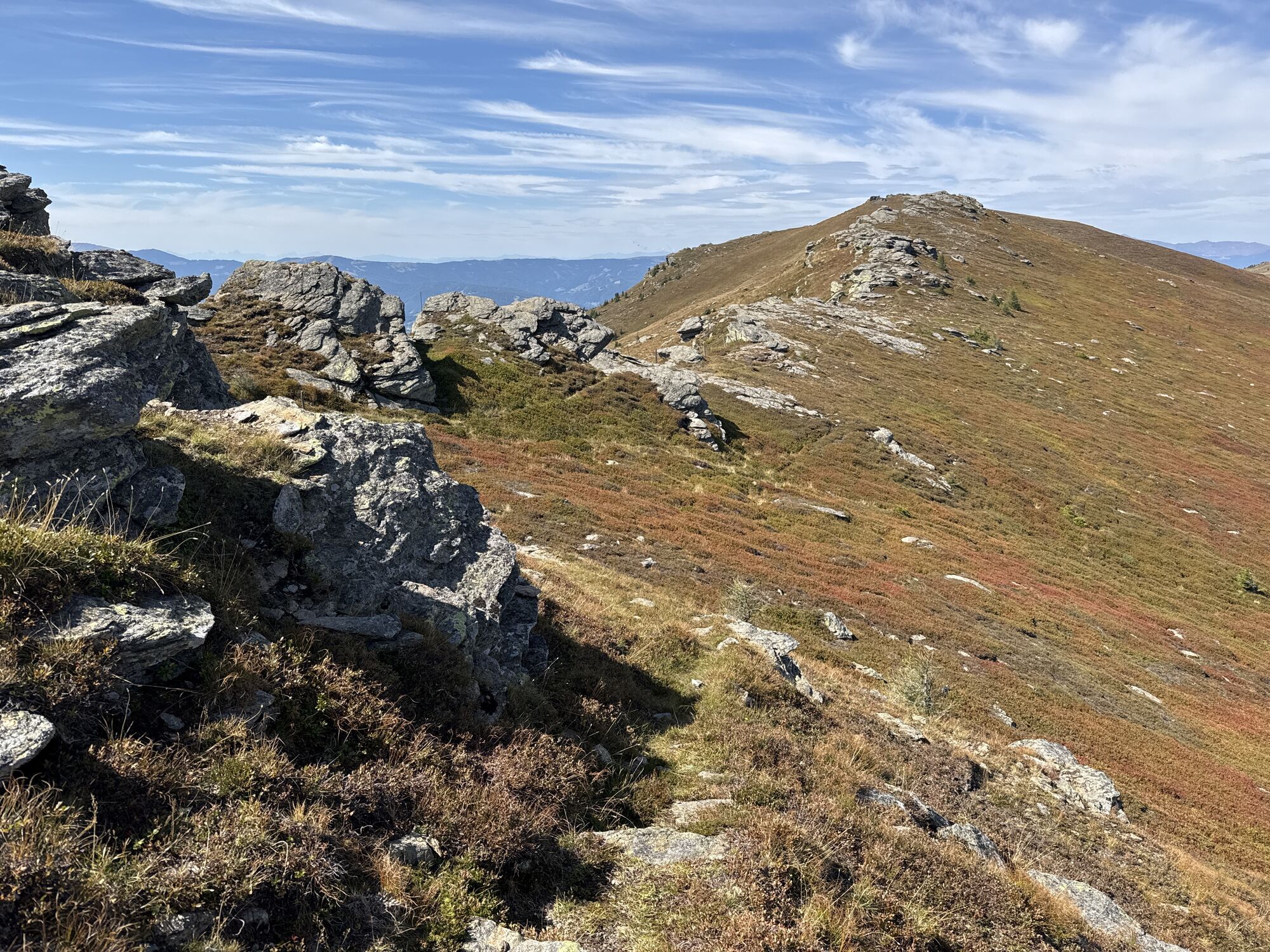
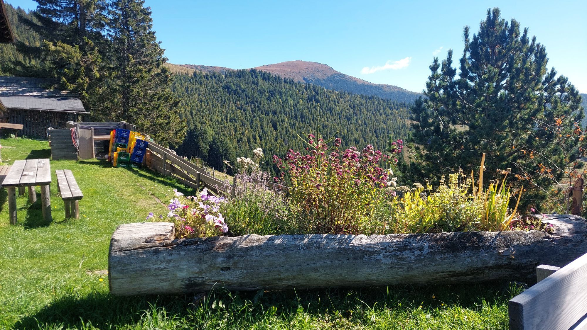
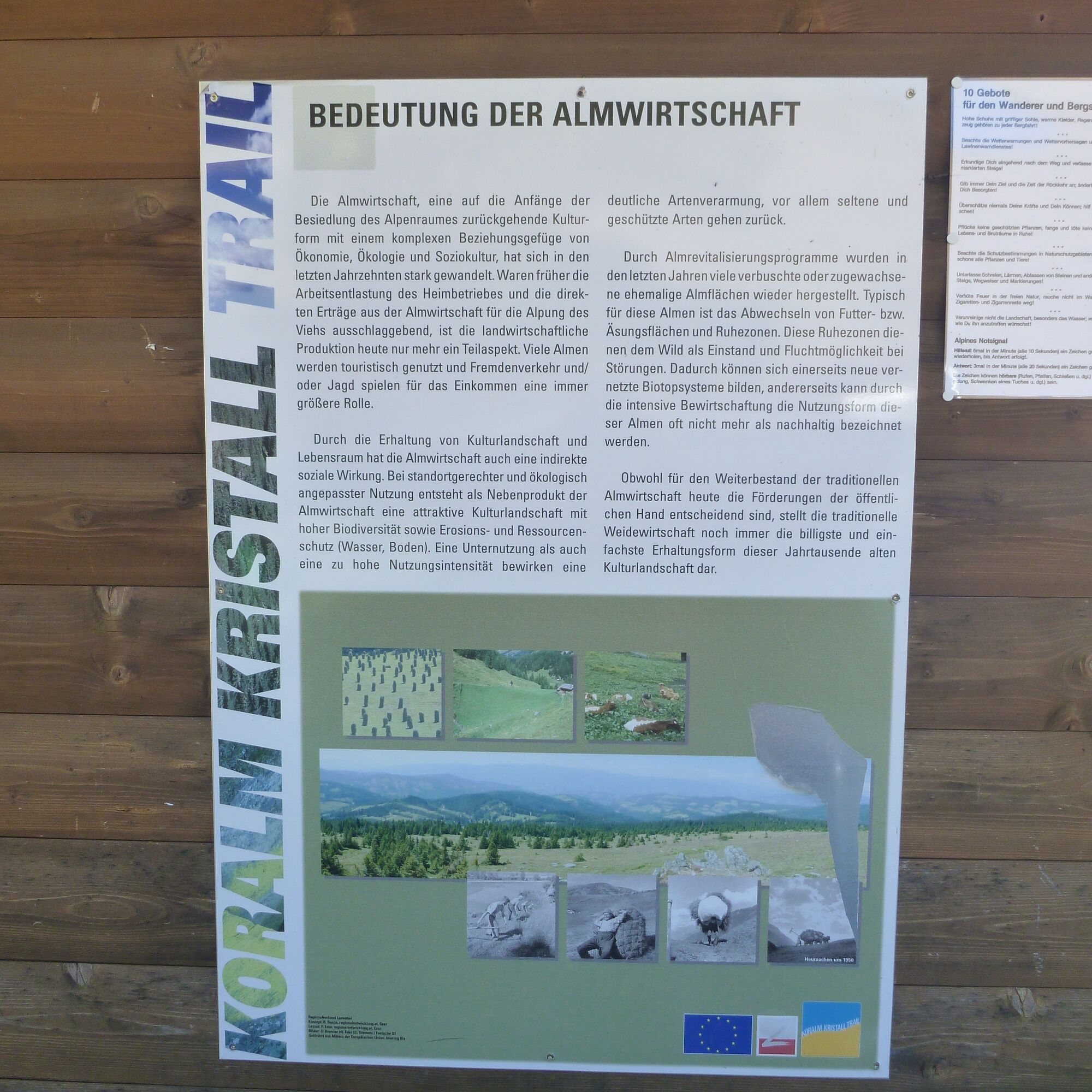
The 120 km long Koralm Crystal Trail leads from Salla on the Stubalpe along the ridge of the Koralpe to the town of Soboth through the ancient rocks of the former supercontinent Pangea. Massive rock formations and sparkling crystals form the individual stations. The ancient rocks of the Kor- and Stubalpe are rich in minerals that were historically mined. These mining areas can also be visited along the Koralm Crystal Trail. Iron ore (iron spar and biotite), marble, and quartz were extracted here, and silver and gold were prospected. Along the trail, there are also "mystical trail signs" such as the "Wired Stan" or the "Luckerte Rock" on the Carinthian side of the Koralpe. Religious places of devotion such as the "Mary Rock" or the "Pilgrim's Cross" on the Jauksattel also line the path. Further legends tell of earlier ore mining or the formation of the rare rock formations. One should not forget the countless quaint huts and inns along the stages. Stop and take a rest with a typical Lavanttal snack with cider or apple juice.
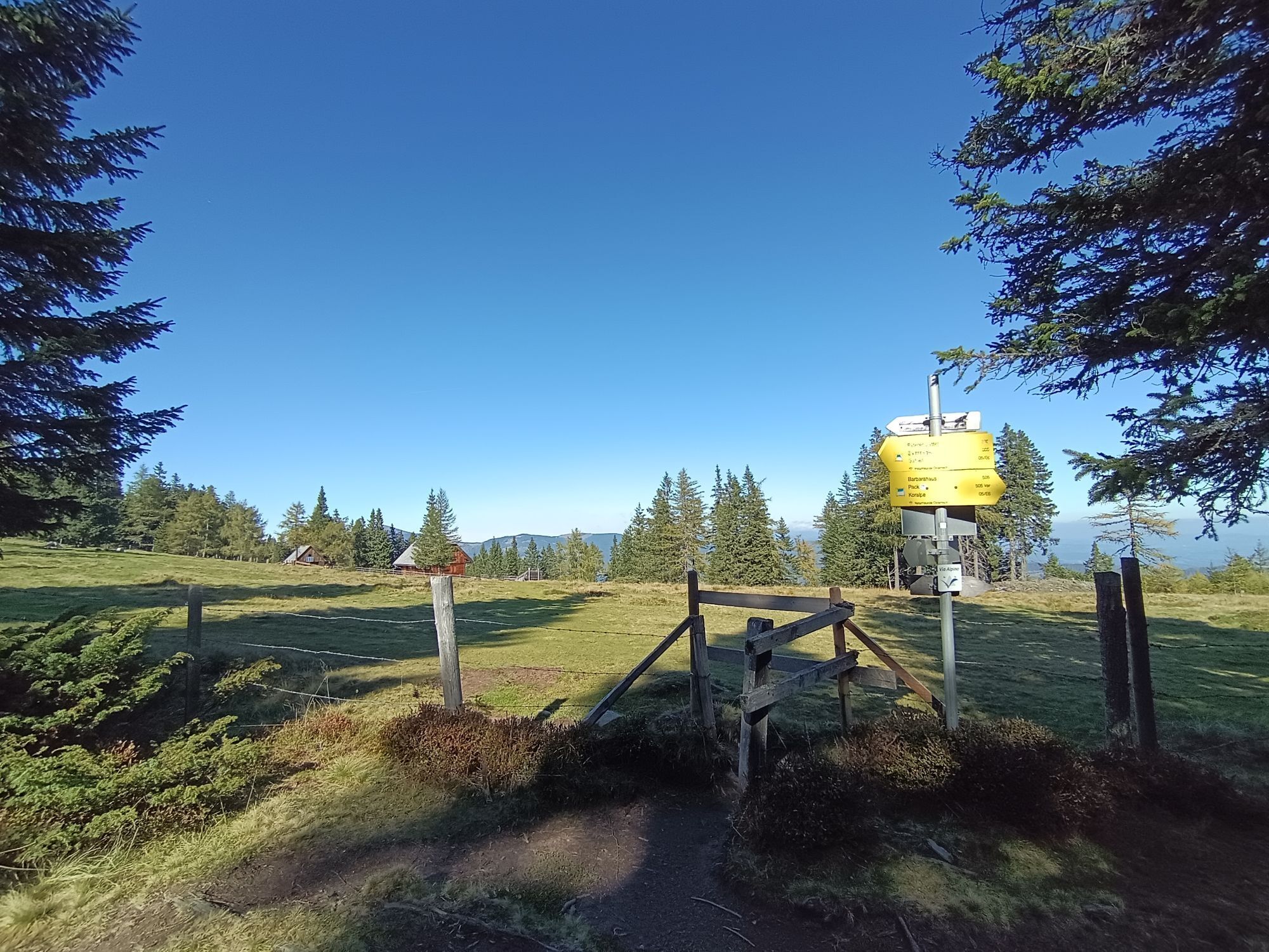
In the Lavanttal, the Koralm Crystal Trail consists of eight "main stages" (Stage 1: Reichenfels - Knödelhütte, Stage 2: Knödelhütte - Hebalm, Stage 3: Hebalm - Weinebene, Stage 4: Weinebene - Kärntner Brandl, Stage 5: Kärntner Brandl - Lavamünd, Stage 6: Lavamünd - Soboth Reservoir/St. Vinzenz, Stage 7: St. Vinzenz – Dreieck Hut – Koralpen parking lot, Stage 8: paths in the large Kar nature reserve) and numerous "feeder stages" to the main route from the municipalities of Reichenfels – Bad St. Leonhard – Frantschach-St. Gertraud – Wolfsberg – St. Andrä – St. Georgen – St. Paul and Lavamünd. The Koralm Crystal Trail always runs along the border between the federal states of Carinthia and Styria and offers a beautiful view of both federal states.

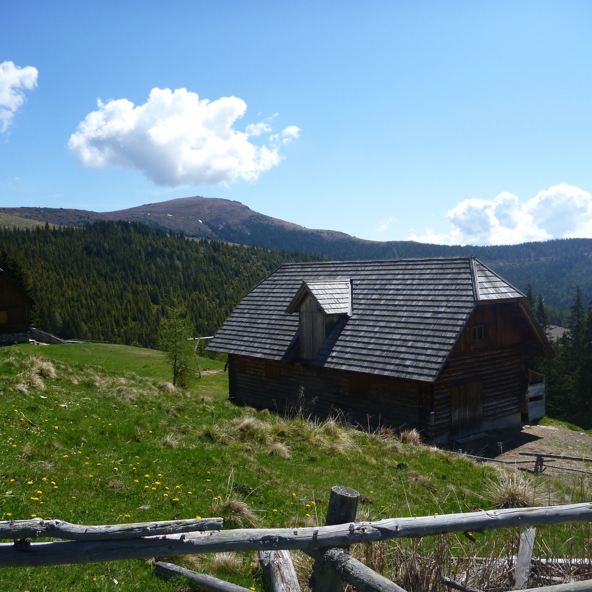
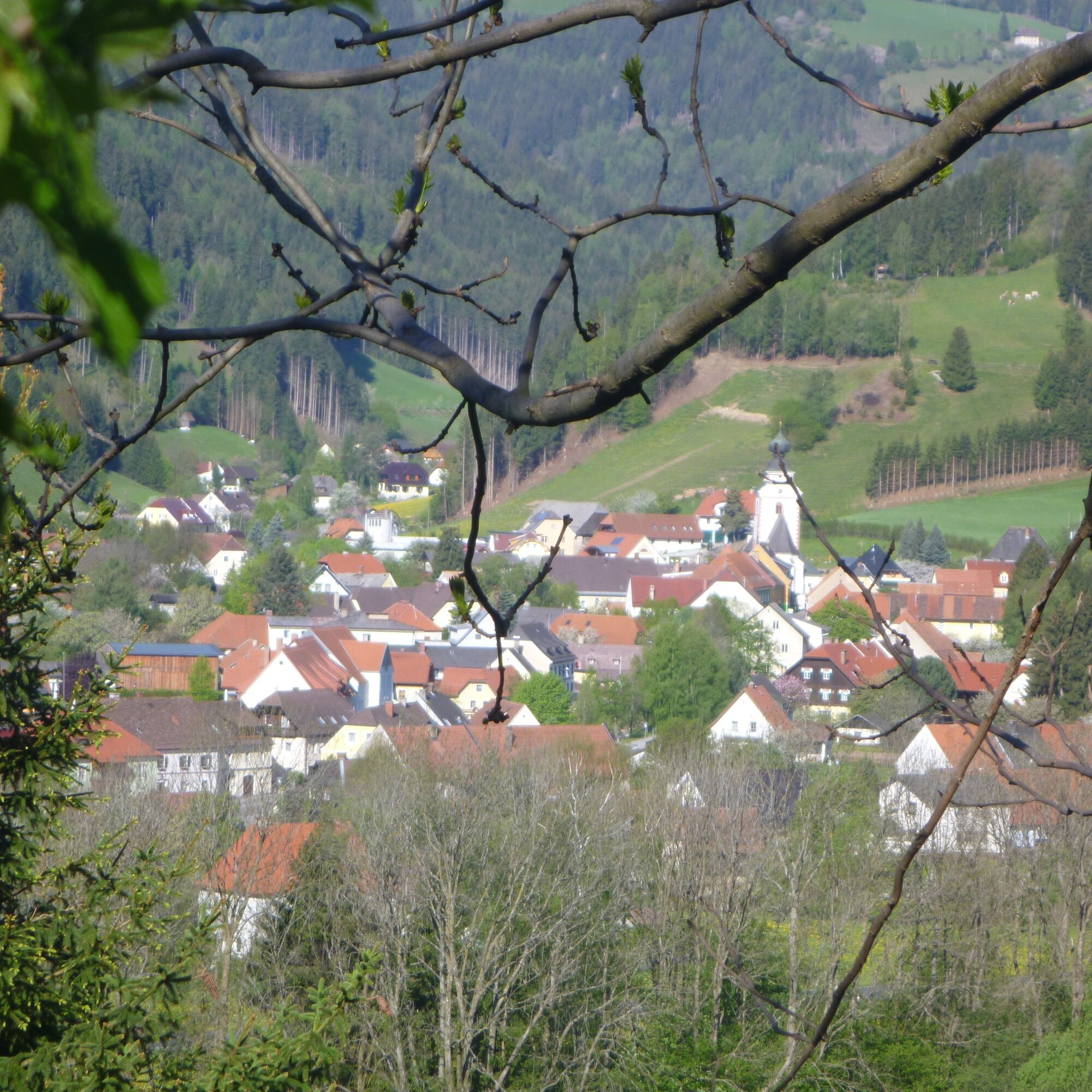
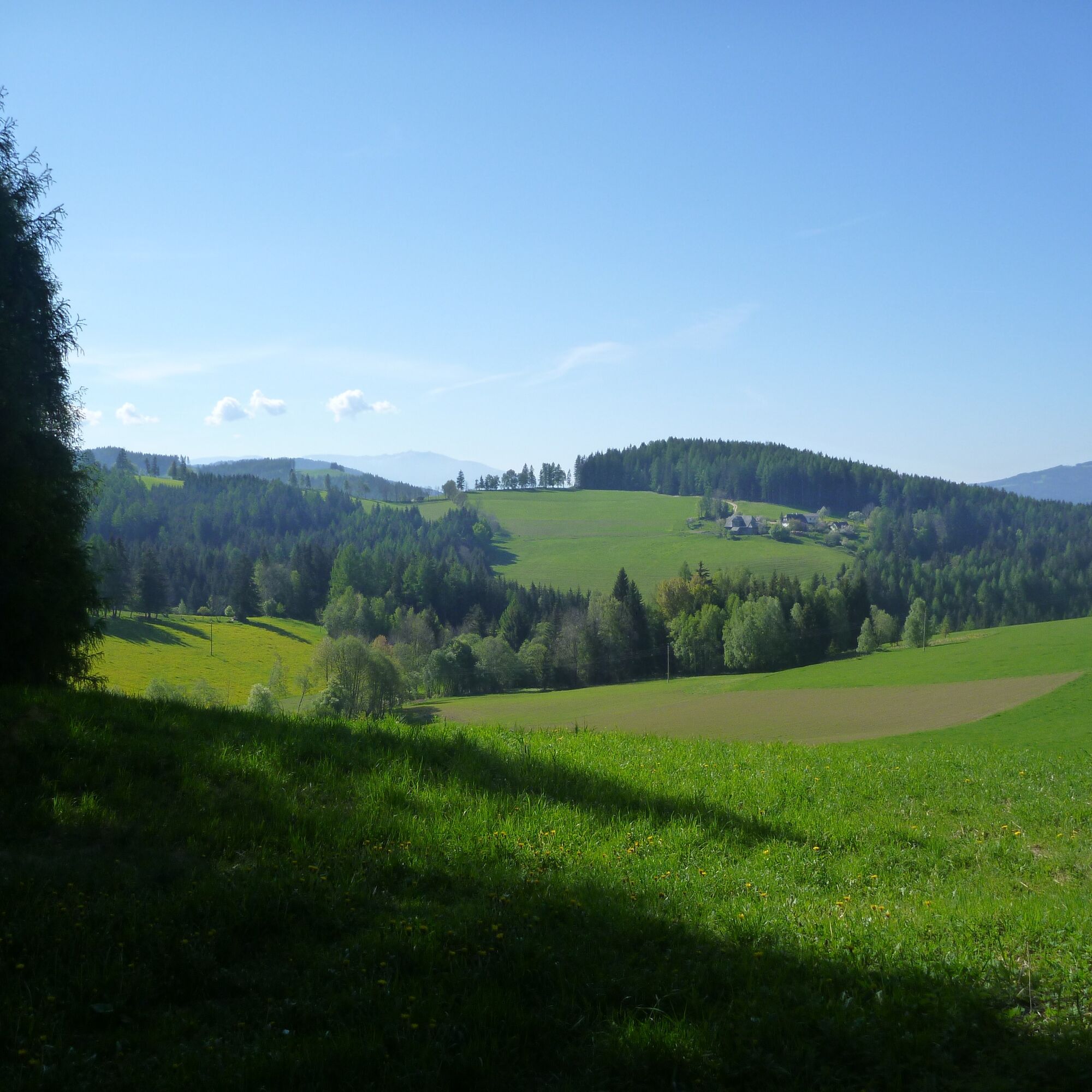

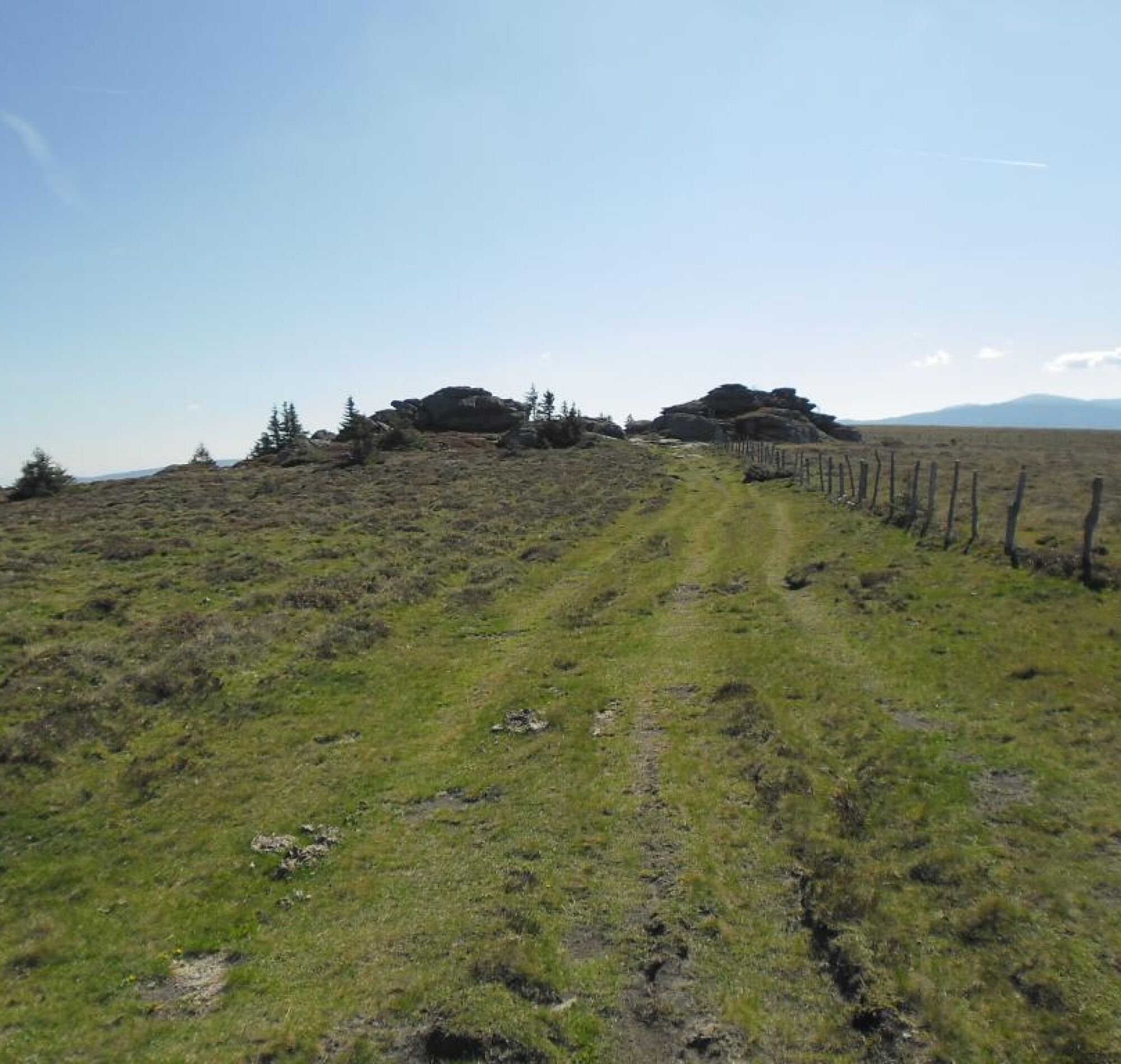
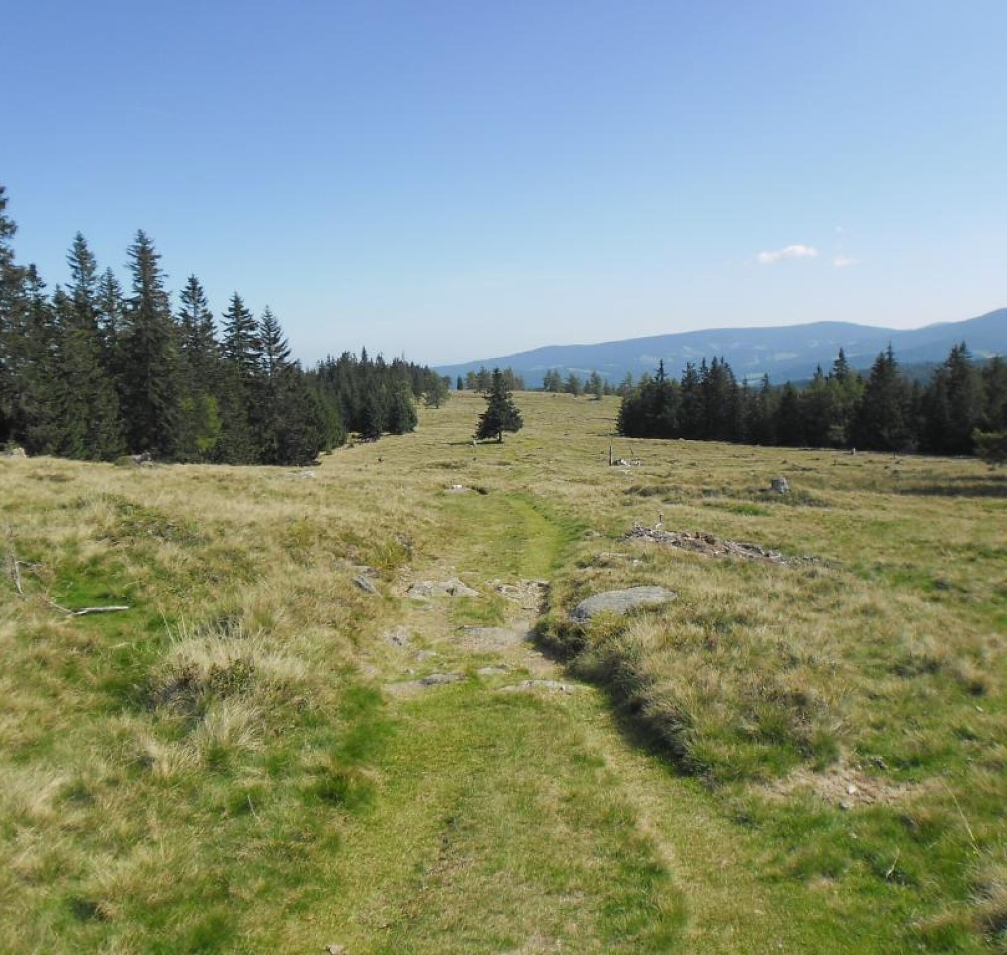
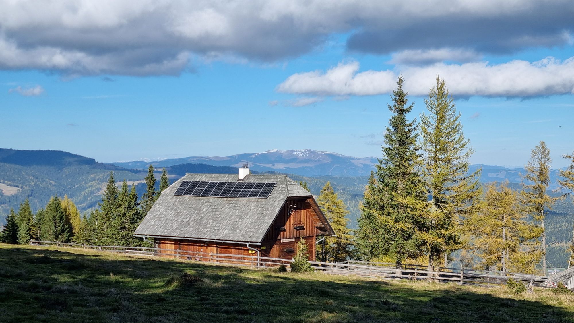
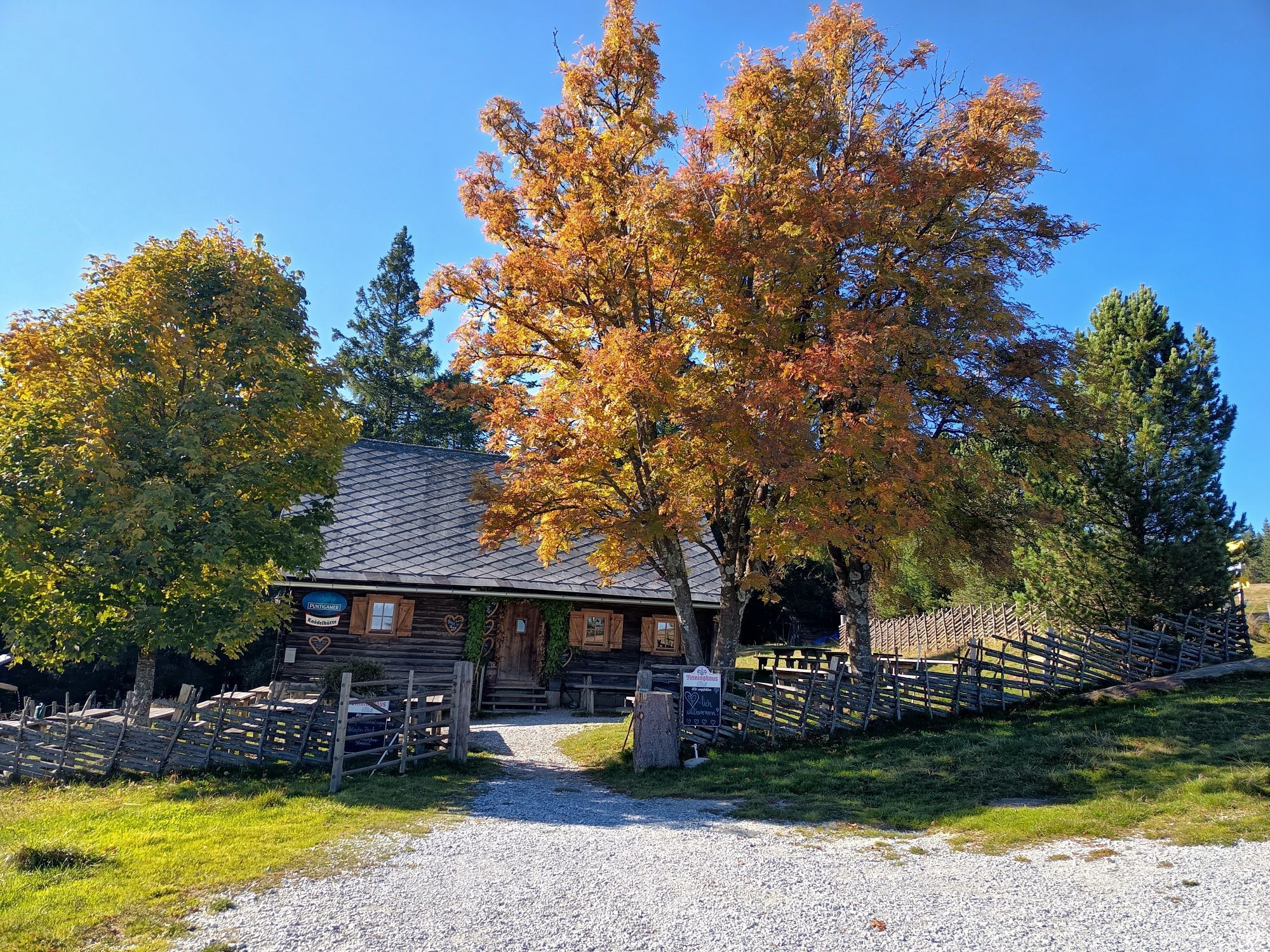
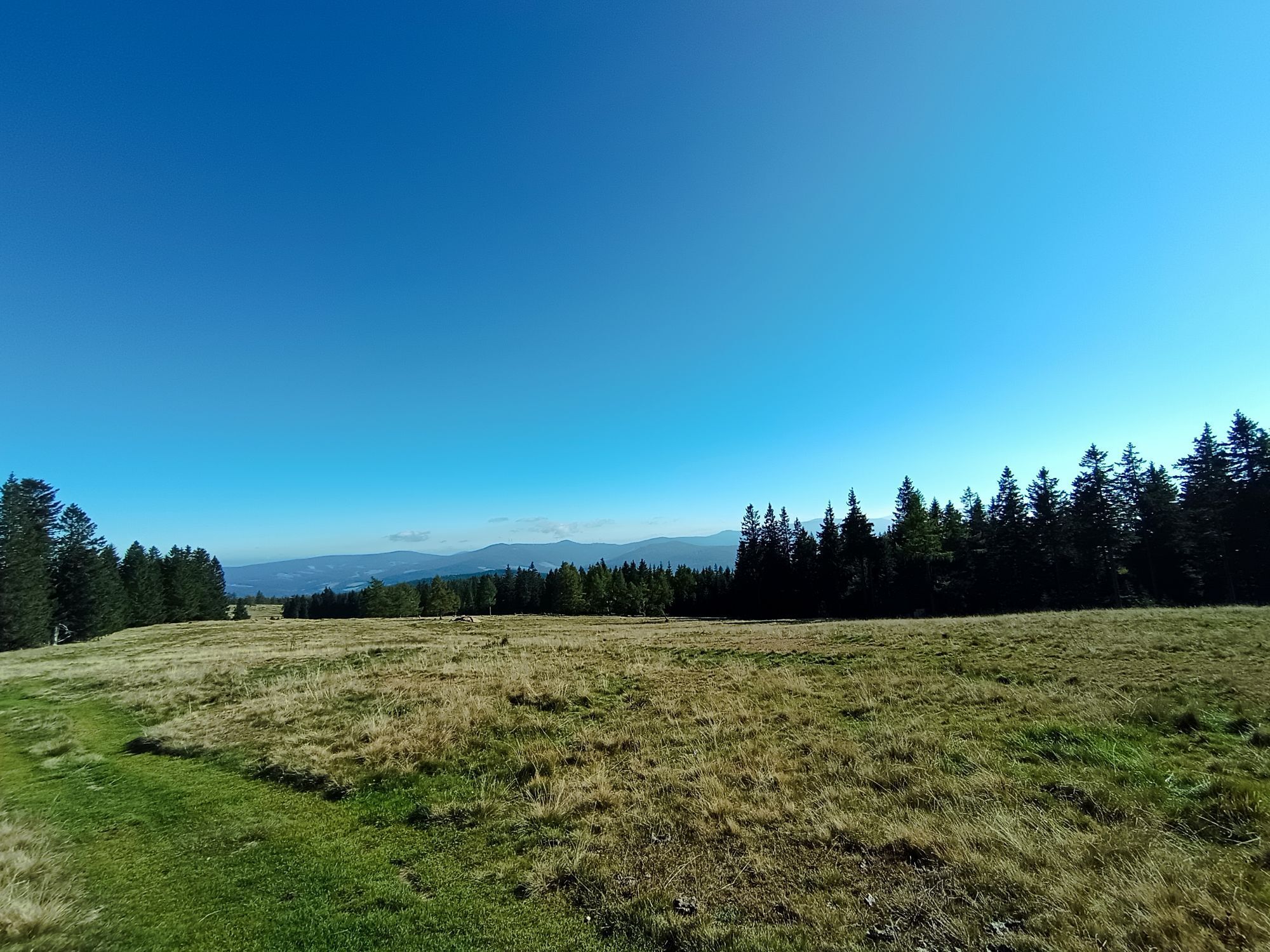
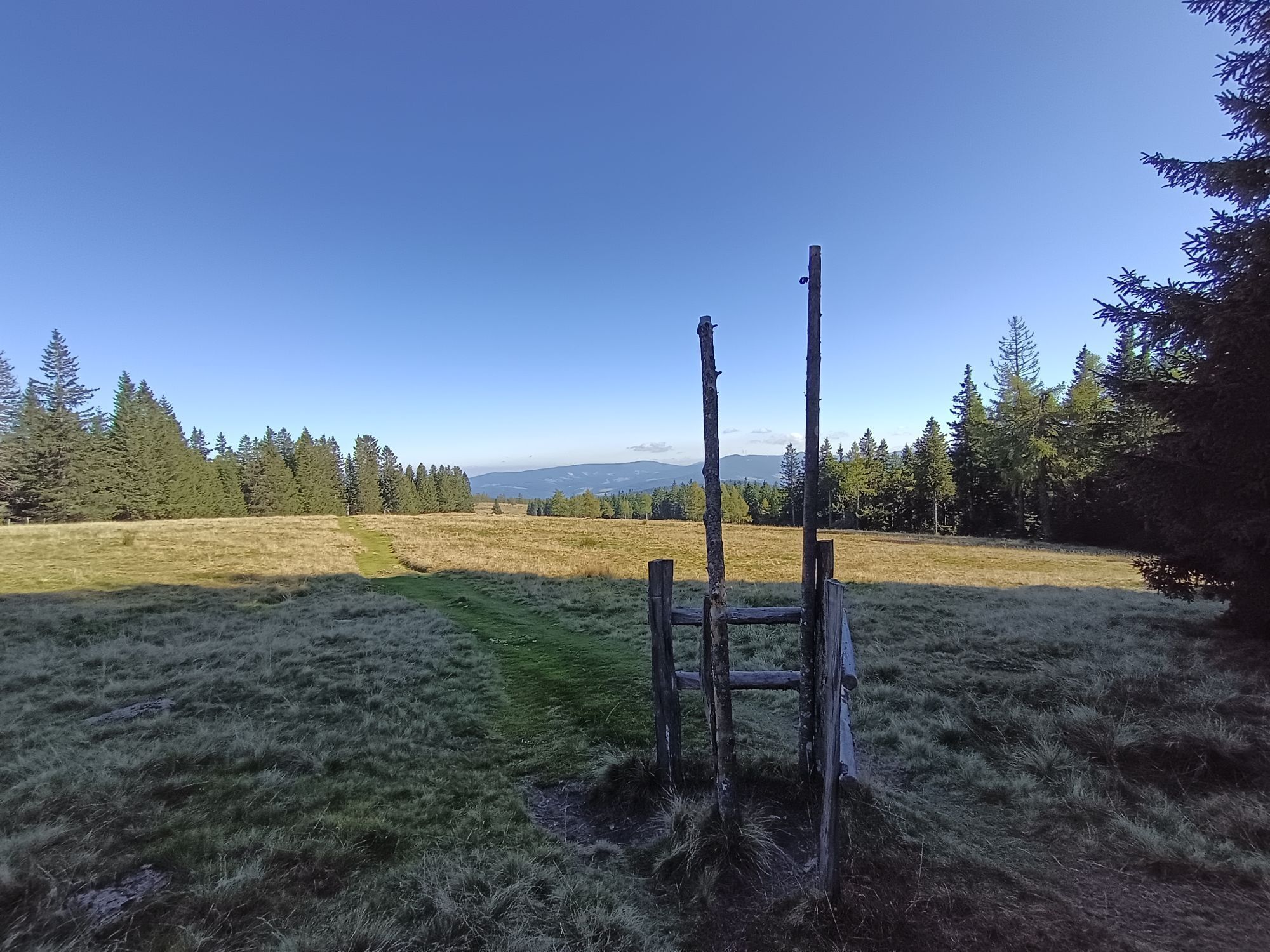
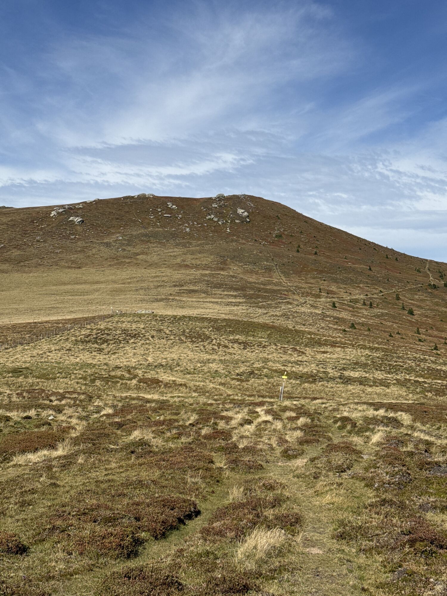
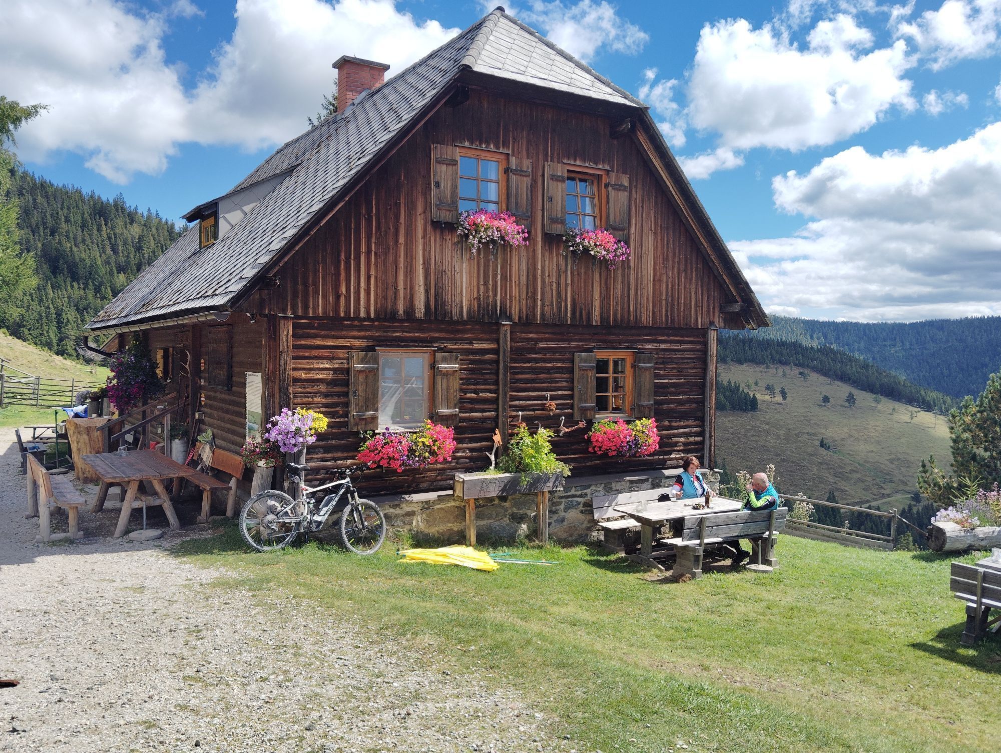
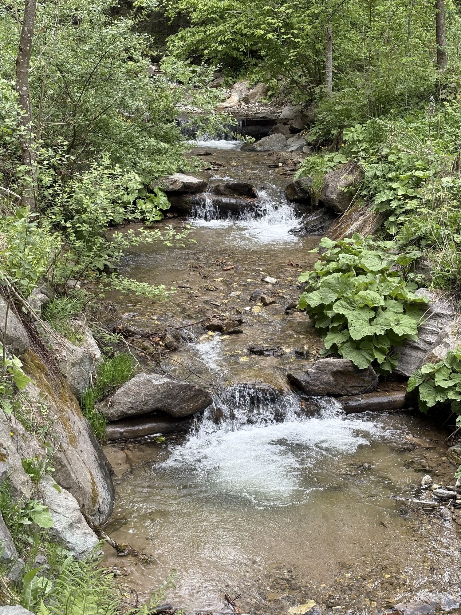
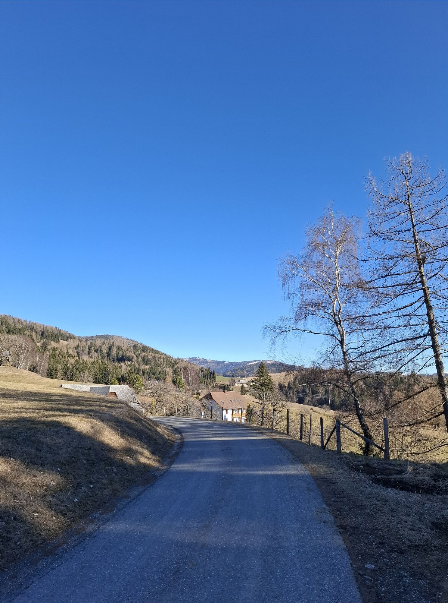
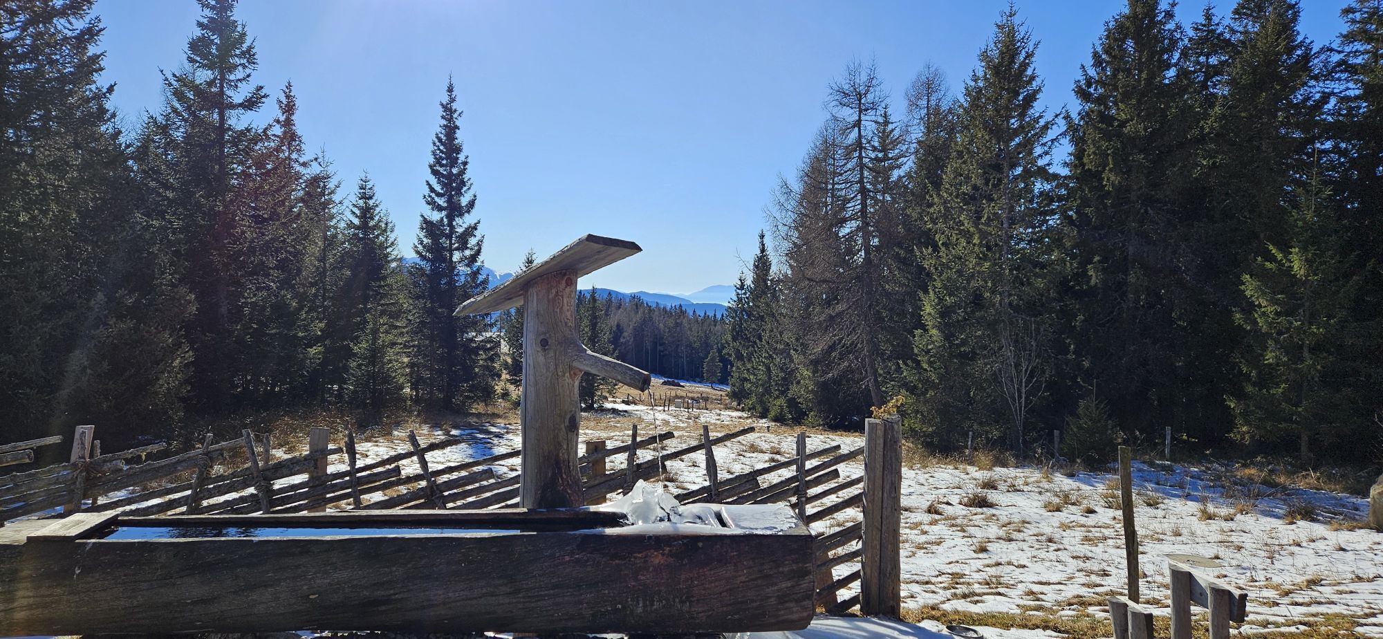
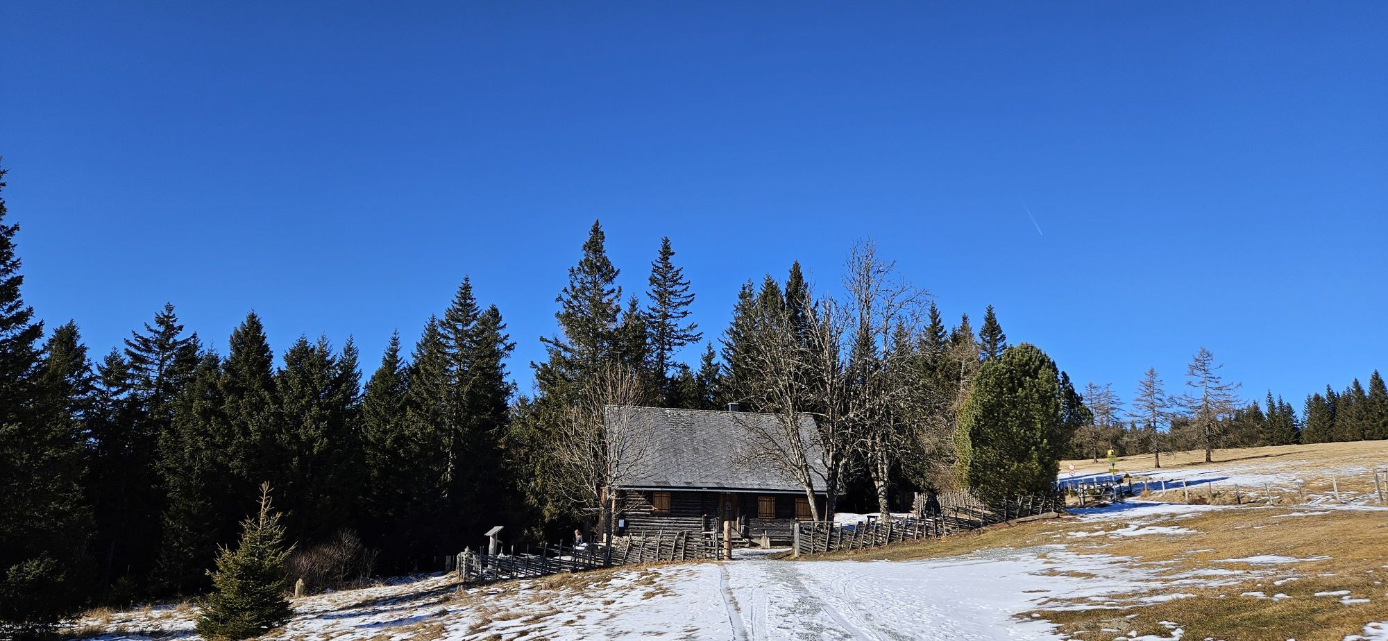
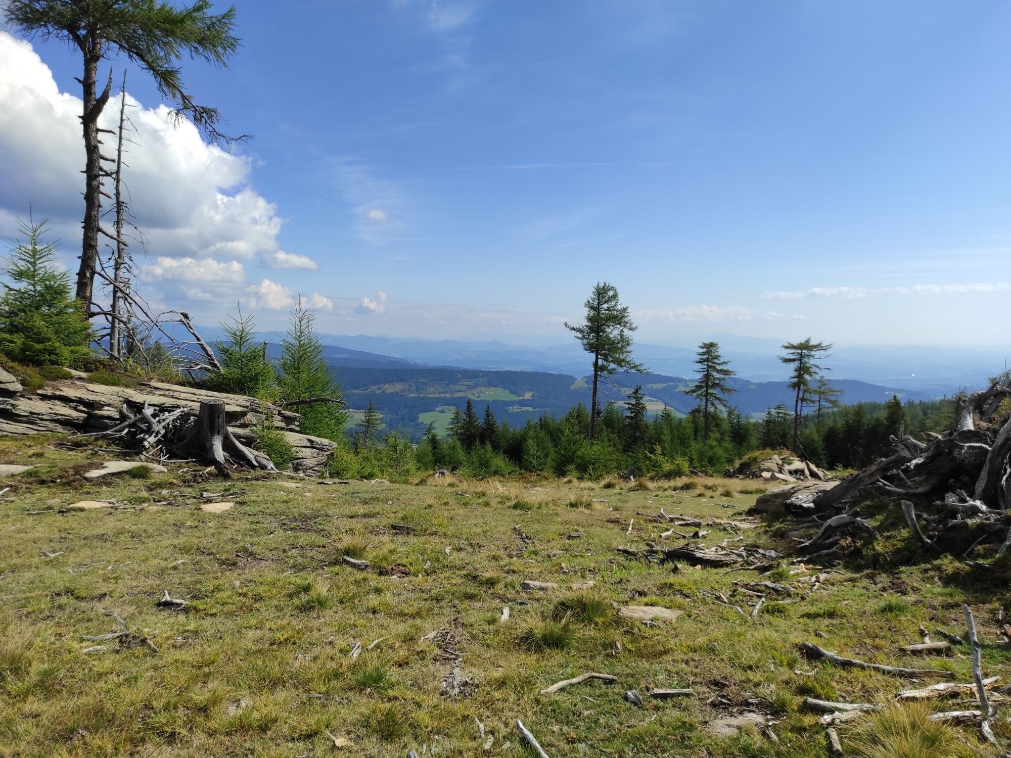
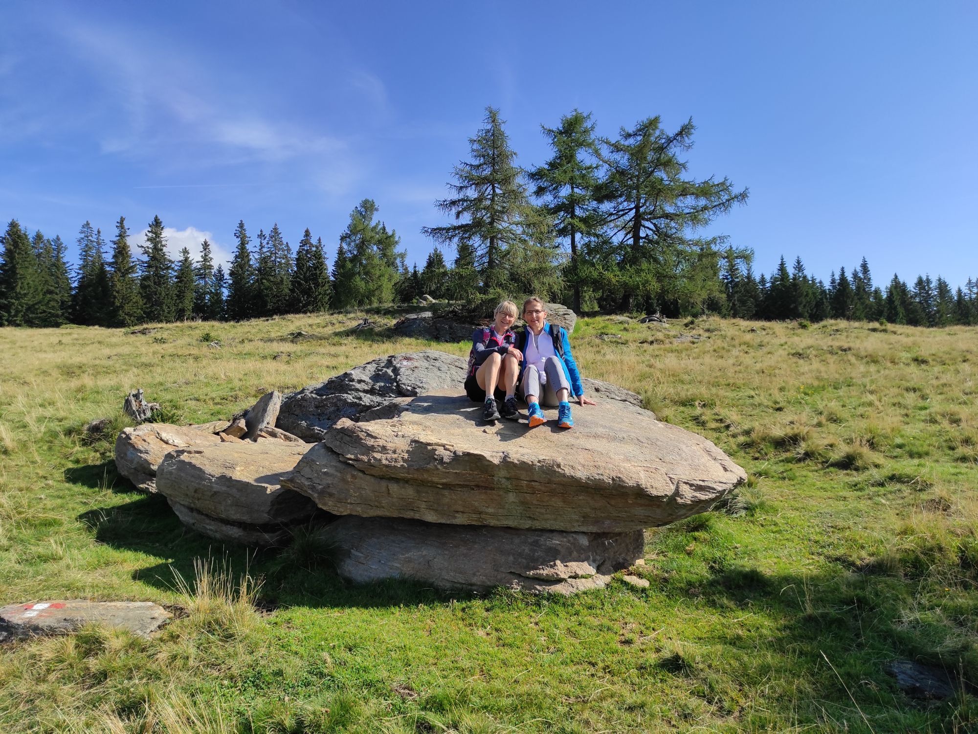
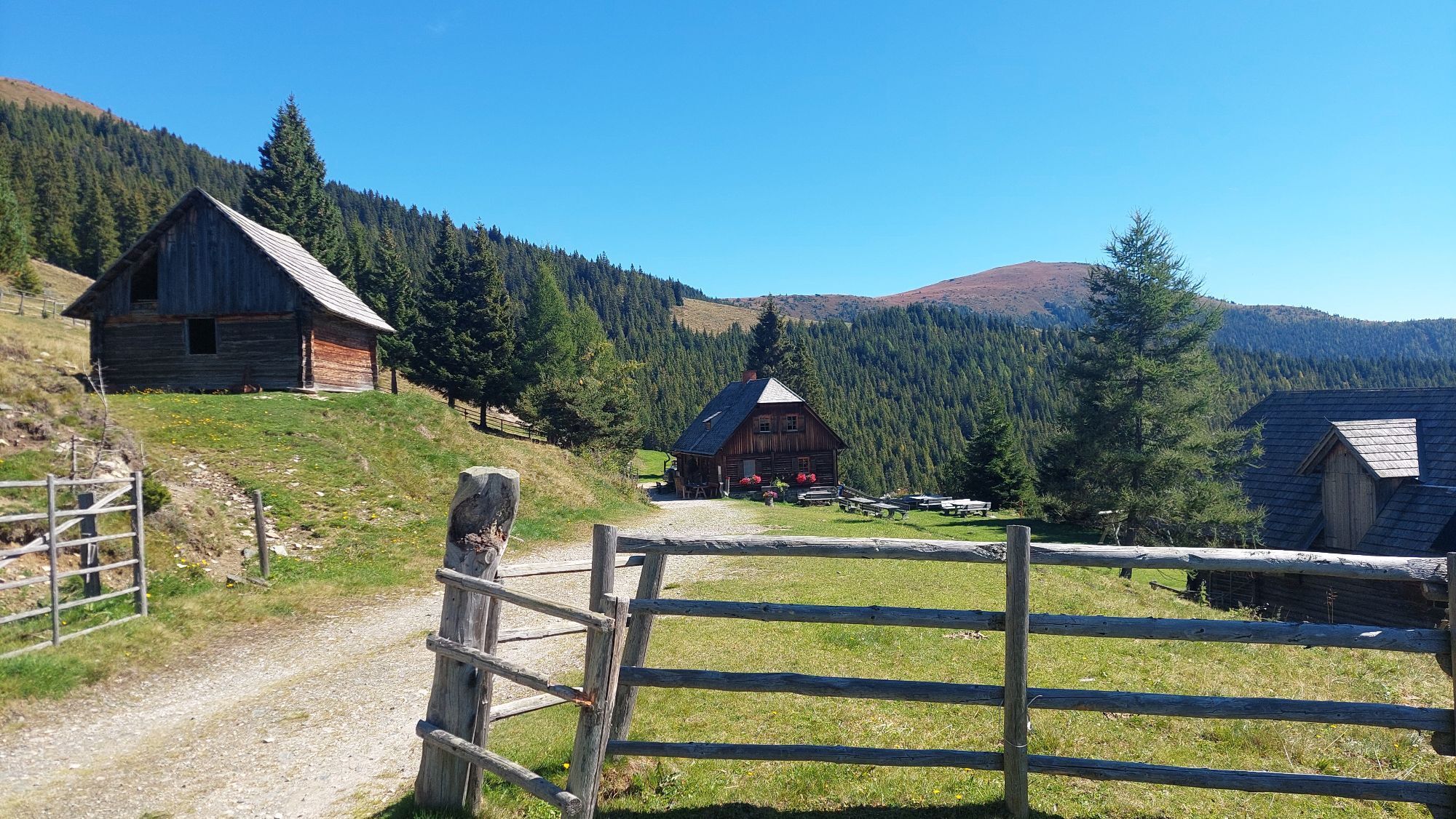
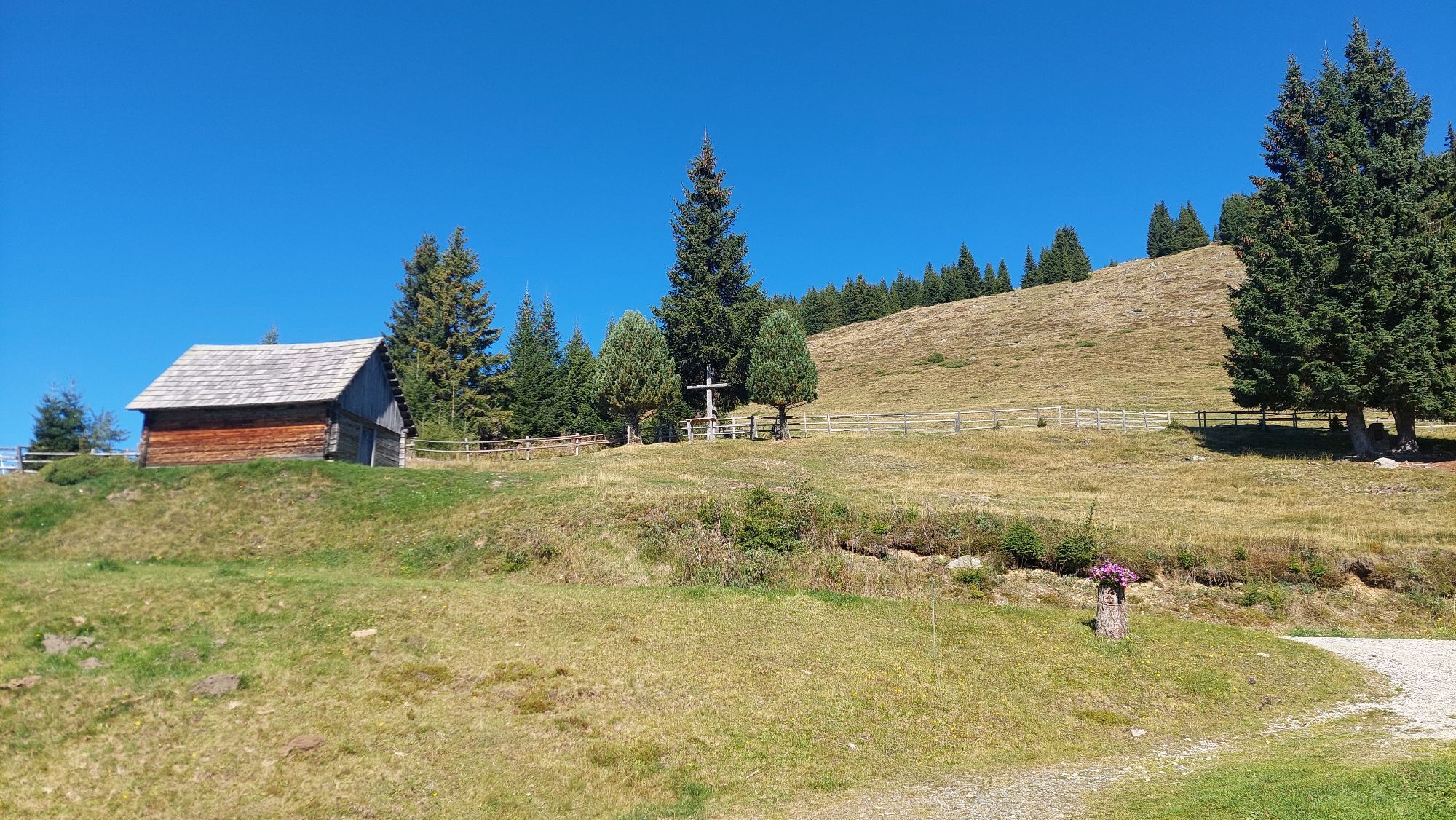
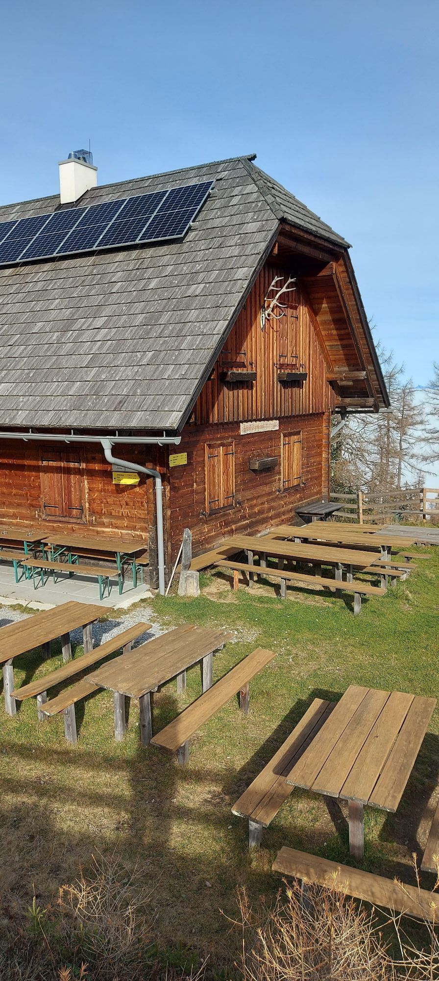
The route starts at the information board in the center of Reichenfels. The path leads east over a small wooden bridge (Schirnitzbach). Crossing the B 78, continue to the farm named Teichbauer. Follow the asphalt road for about 300 m, then turn right (hiking sign - Peterer Alm), passing the farms Hanslbauer, Pirker, and Fuchs. At the Fuchs farm, the road ends and the trail continues on a forest road to the farm named Bockbauer. After about 400 m, following the hiking sign (Peterer Alm), you reach a meadow path. Keep right here; after a few minutes, the path merges into a forest. Then you reach a forest road and follow it for about 1.5 km. At a right turn, leave the forest road via a steep hollow path. Afterwards, hike on a trail crossing the forest road several times through a beautiful high forest until you reach the Peterer Hut. From the Peterer Hut, continue to the Peterer Alm, then to the St. Leonharder and Hirschegger Alm. The last section of this varied hike leads past the “Seven Hay Loads” over the Hirschegger Alm to the hike’s destination, the Knödelhütte.
Tak
Tak
Hiking boots - rainwear
10 Commandments for Hikers
1. Self-assessment
Before every mountain hike, check your physical fitness and properly assess your strength and that of your companions – especially children! Surefootedness and being free of dizziness are often very important!
2. Planning and preparation
Plan every intended mountain hike carefully beforehand. Hiking maps and guides, as well as information from alpine clubs and locals such as mountain guides and hut keepers, can be very helpful.
3. Equipment
Proper equipment and clothing are required in the mountains, especially sturdy, high footwear with gripping soles. Protection from weather and cold is essential, as the weather can change quickly.
4. Inform others
For safety reasons, especially in case of emergency, inform someone about your route and destination – in hut books, inns, or with friends – possibly also the planned time of return.
5. Strength lies in calmness
Adjust your pace always to your physical capabilities and the fitness of your companions. Going too fast leads to premature exhaustion; remember that you will need to manage the return journey as well.
6. Do not leave marked paths
Walking on steep grassy slopes, especially when wet, on steep snowfields, or glaciers is always very difficult and dangerous.
7. Do not dislodge stones
Do not dislodge stones as this can seriously endanger other mountain hikers. Areas with risk of rockfall should be crossed as quickly and carefully as possible.
8. Turn back in time
This is not shameful but a sign of caution. It becomes necessary when weather changes suddenly, fog sets in, or the path becomes too difficult or impassable.
9. Stay calm if an accident occurs!
Attempt to attract help by signaling such as shouting or waving large pieces of clothing. An injured person should stay at a visible spot at the accident site.
10. Keep the mountains clean
Keep the mountain environment clean and take your waste back to the valley. This helps preserve our mountains so others can also enjoy their majestic variety and beauty.
or
S6 Semmering Expressway – S36 Murtal Expressway – exit Zeltweg West – Obdach – Reichenfels
In the village of Reichenfels
If you are in Reichenfels, visit Sommerau. This gem, which belongs to the market town of Reichenfels, is still inhabited by six mountain farming families today – around 1900 there were twice as many. Silver and gold mining once shaped the history of Sommerau. The mountain village lies at exactly 1,300 meters above sea level and is believed to have been built by miners between 1006 and 1072.
Legend: The Seven Hay Loads of Hirschegger Alm
Below the Hirschegger Alm there once stood a stately farm where a hardworking farmer lived. On the eve of the "Peter and Paul Festival," the farmer was busy haymaking on the alpine meadows. It was a hot day, and the farmer and his people worked so hard that sweat ran down their foreheads, as they wanted to bring the hay home that afternoon. Despite their greatest effort, they could not bring in all the hay loads, and 7 loads had to remain on the alp. On the "Peter and Paul Day," the sun was shining again, but around noon the weather began to change, clouds arose, and a thunderstorm threatened. The farmer and his people set off to quickly bring the hay under shelter. They worked feverishly, as the storm could break out any moment. Just as the farmer wanted to bring in the first load, a lightning bolt struck with a terrible crash, turning the farmer, farmhands, horses, and hay loads to stone. Since then, the seven petrified hay loads stand on the Hirschegger Alm as a warning to those who do not honor high holidays.

Popularne wycieczki w okolicy
-
4,7
Altes Almhaus -Rappoldkogel
średniWędrówka 11,7 km -
4,7
Rappoldkogel vom Salzstieglhaus
średniWędrówka 2,33 km -
4,6
Salzstieglhaus - Speikkogel - Peterer Riegel
średniWędrówka 11,2 km -
4,5
Bad St. Leonhard: L5 hike Kliening - Sauerbrun
średniWędrówka 9,49 km -
4,5
Vom Salzstiegl auf den Ameringkogel
średniWędrówka 14,2 km -
4,3
3-Almhüttenwanderung
światłoWędrówka 8,31 km -
4,2
5-Almhüttenwanderung
światłoWędrówka 14,3 km -
3,9
Rappoldkogel-Runde vom Alten Almhaus
średniWędrówka 12,1 km -
3,7
Ameringkogel 2.187m, Größing 2.152m, Hofalmkogel 2.040m & Speikkogel 1.993 auf der Packalpe
światłoWędrówka zimą 16,3 km -
3,4
Packer Stausee
światłoWędrówka 7,47 km
Wędrówki i tropienie


Nie przegap ofert i inspiracji na następne wakacje
Twój adres e-mail została dodana do listy mailingowej.