


Circular hike Obergail - Gamskofel - Obergail Alm - Obergail


Attention: Please inquire about the current trail and weather conditions before each route!
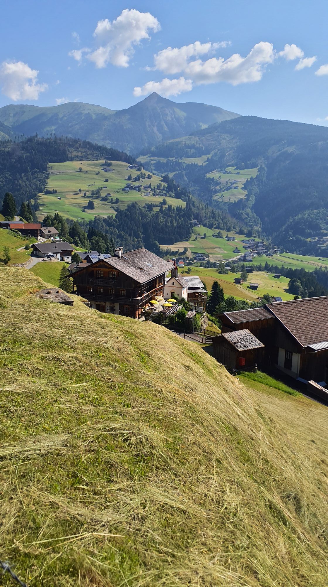
The hike leads past the highest settlement of Obergail (Plasegge). Over forest and pasture area, after about...
Attention: Please inquire about the current trail and weather conditions before each route!
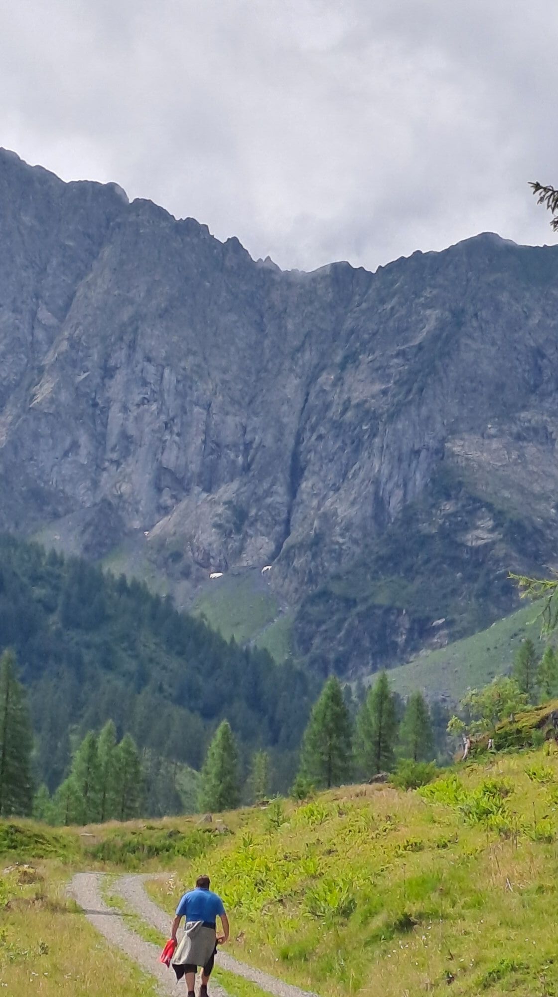
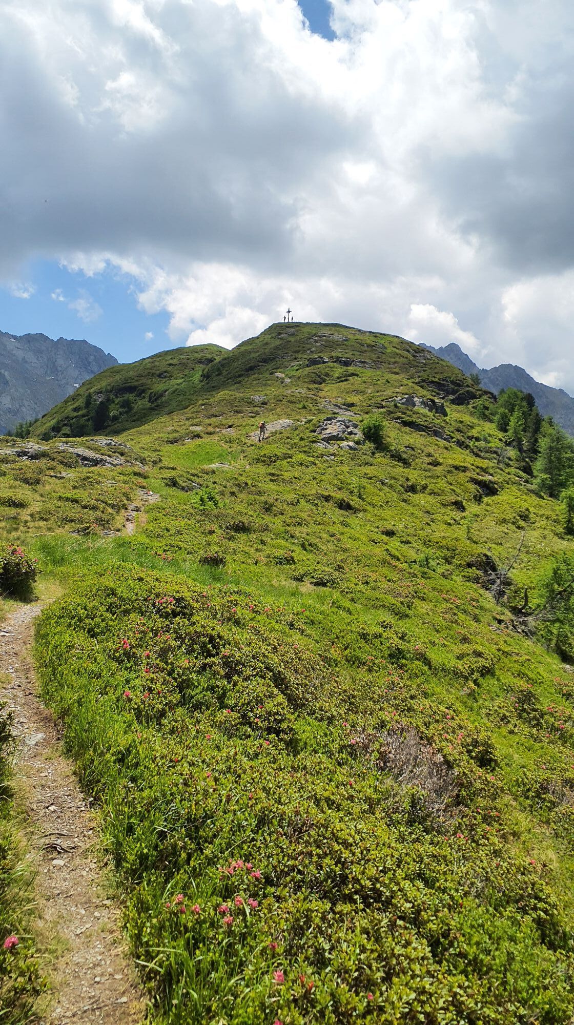
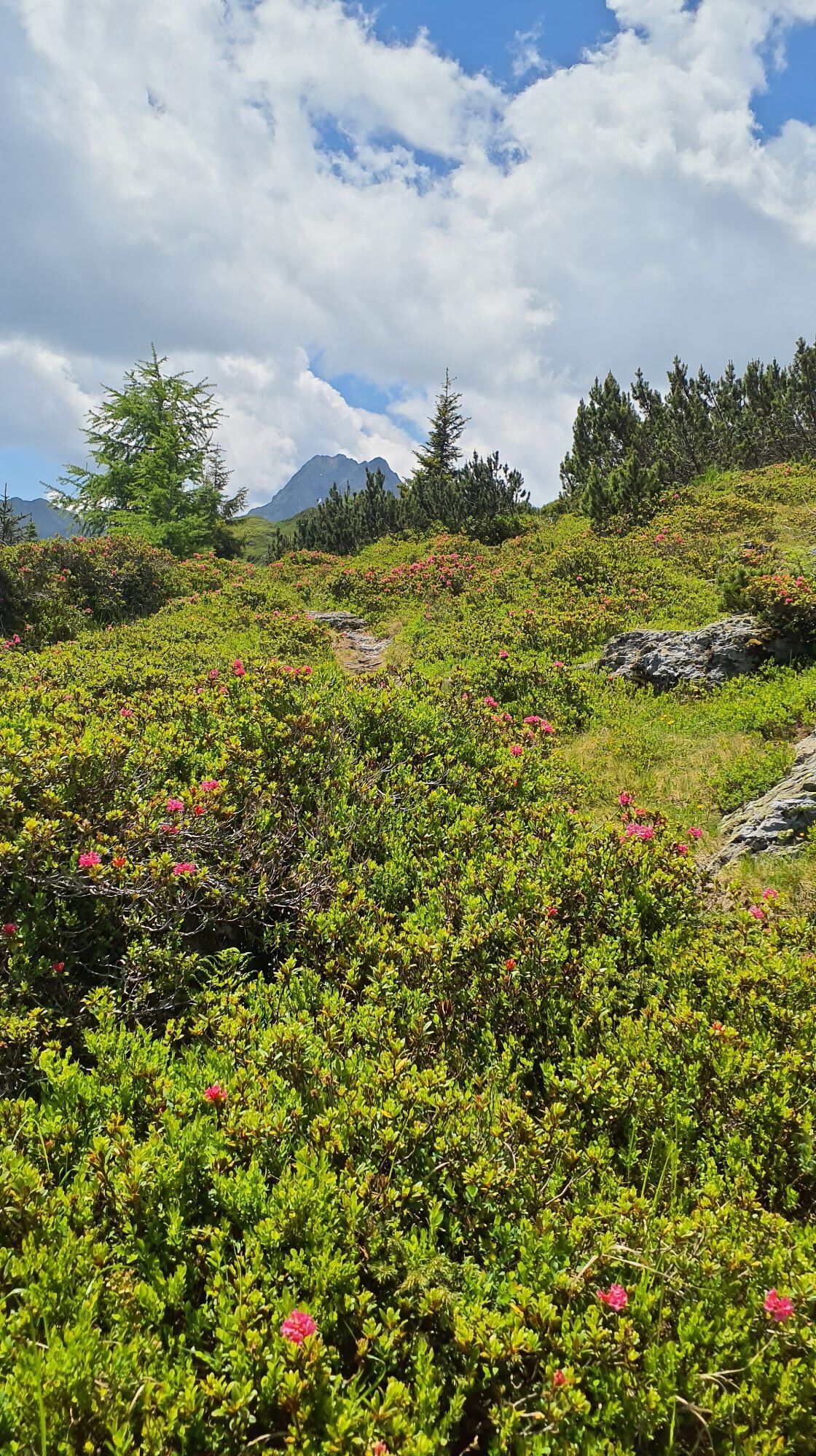
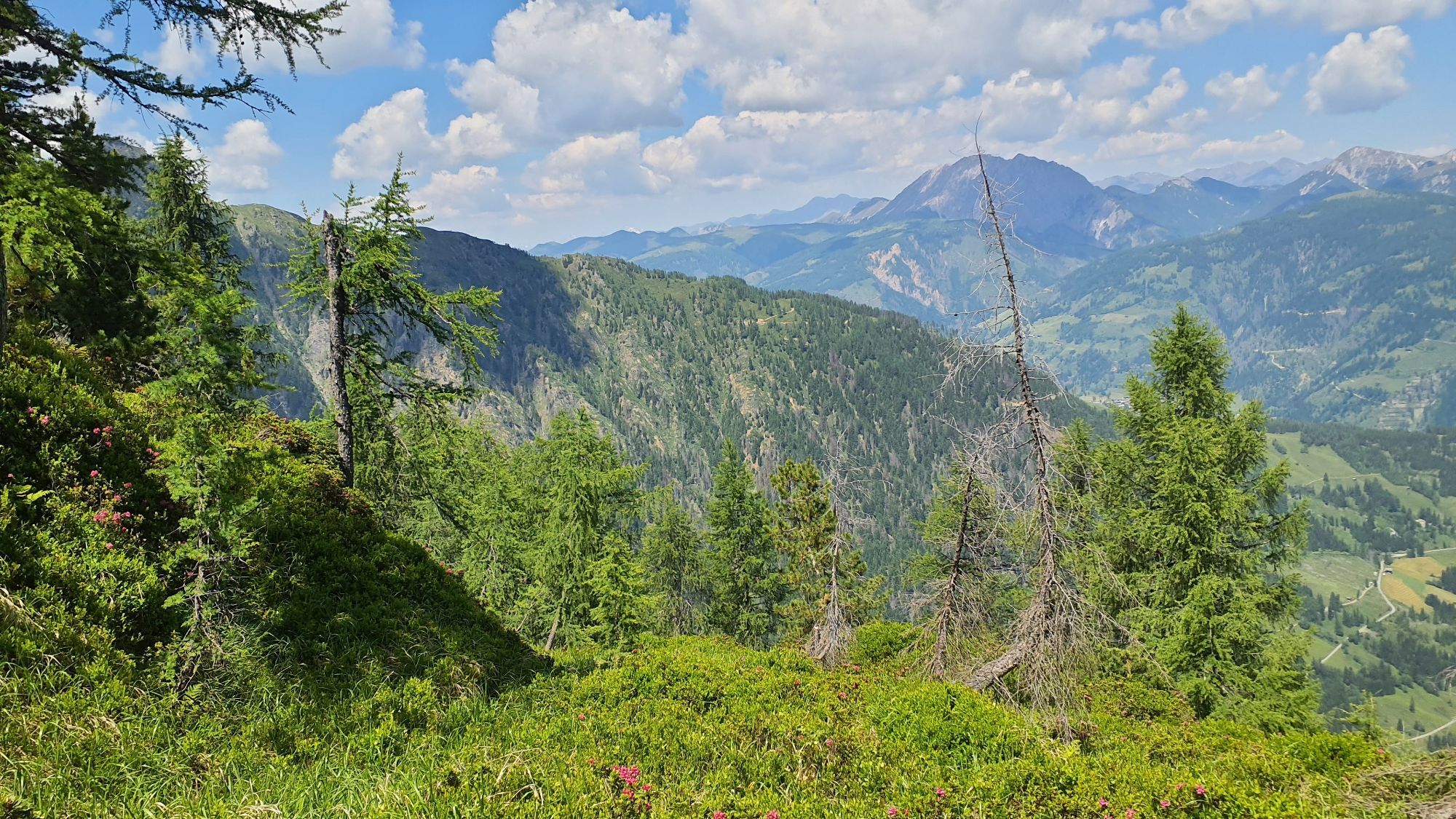
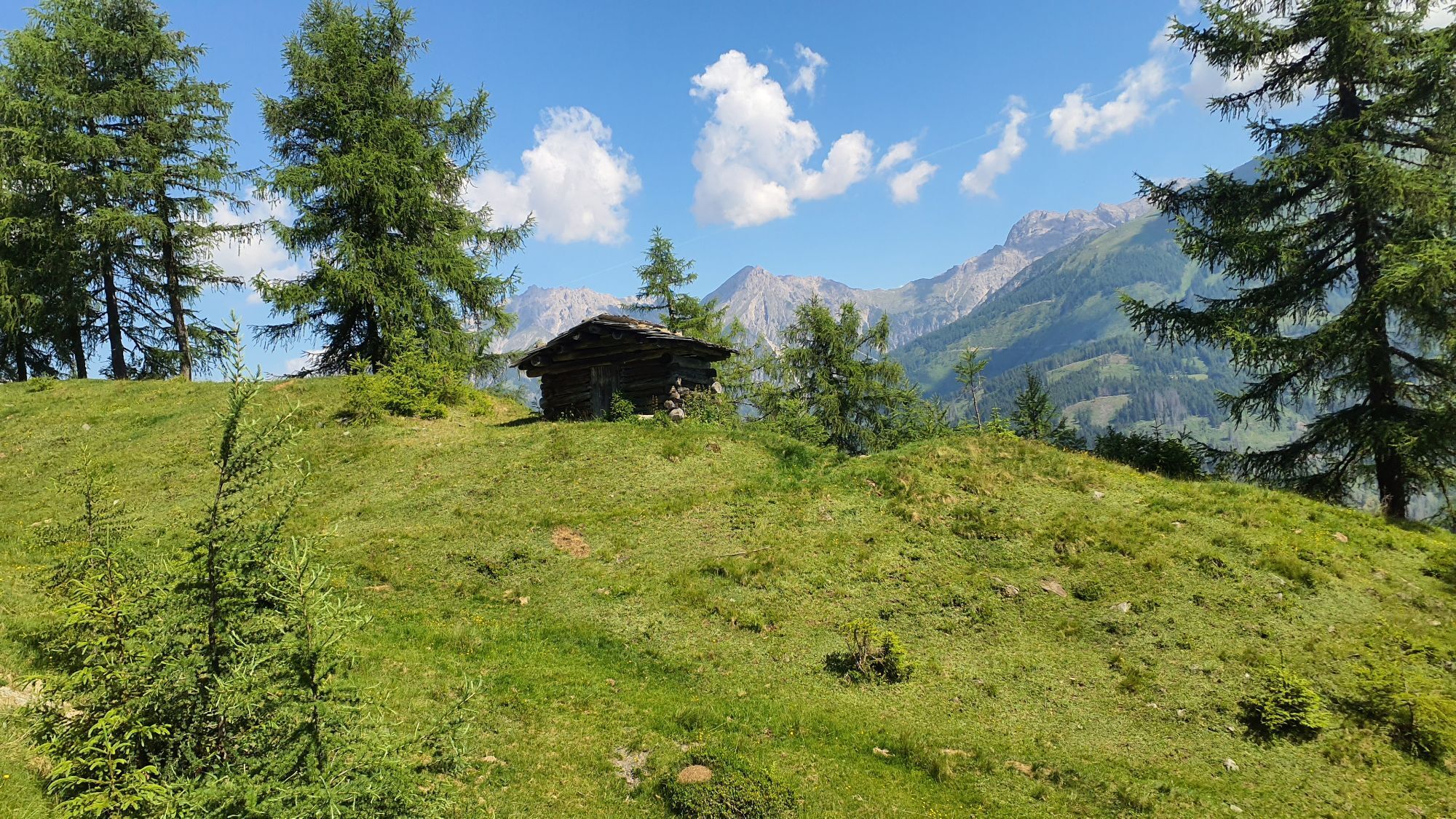
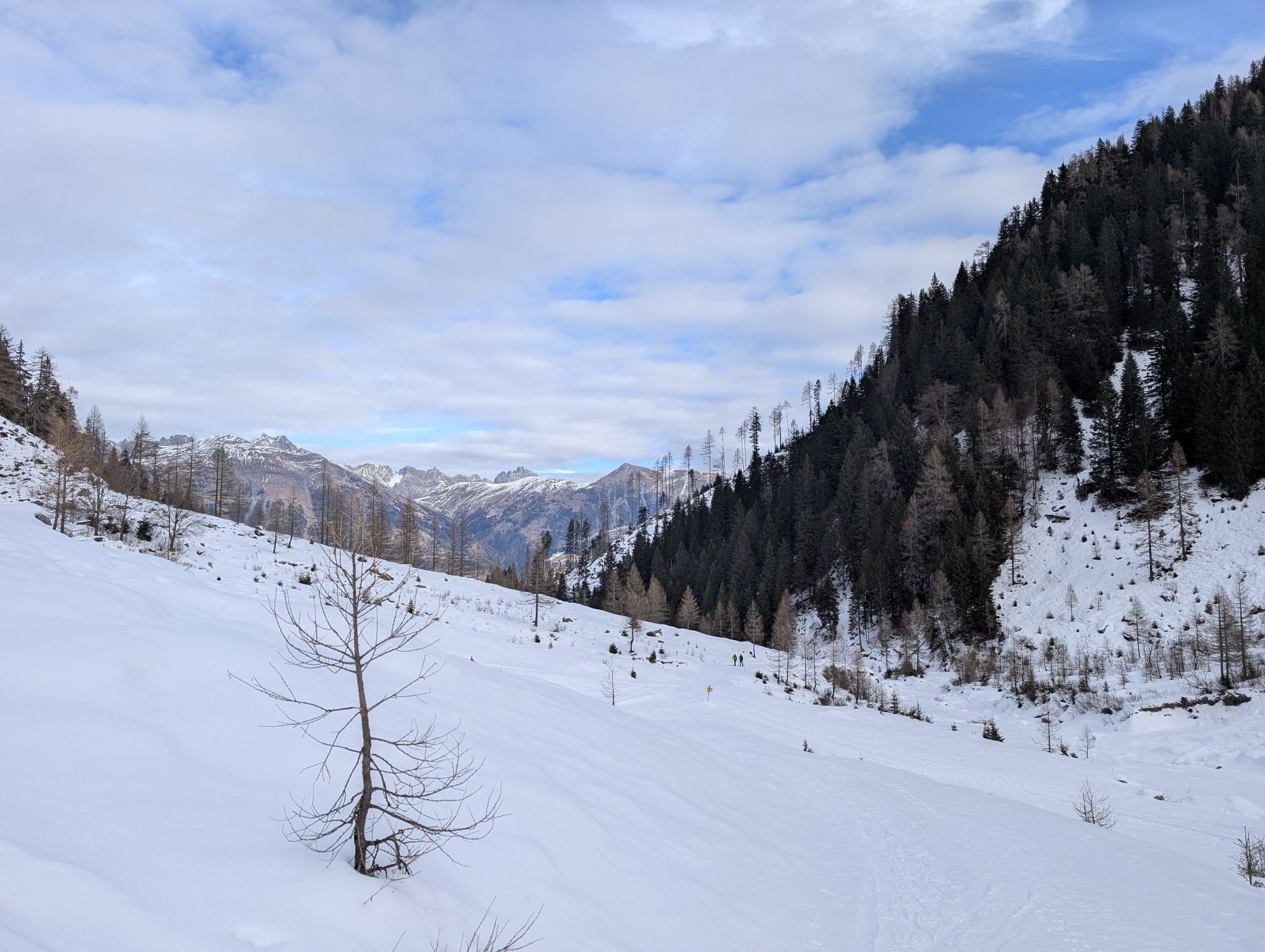
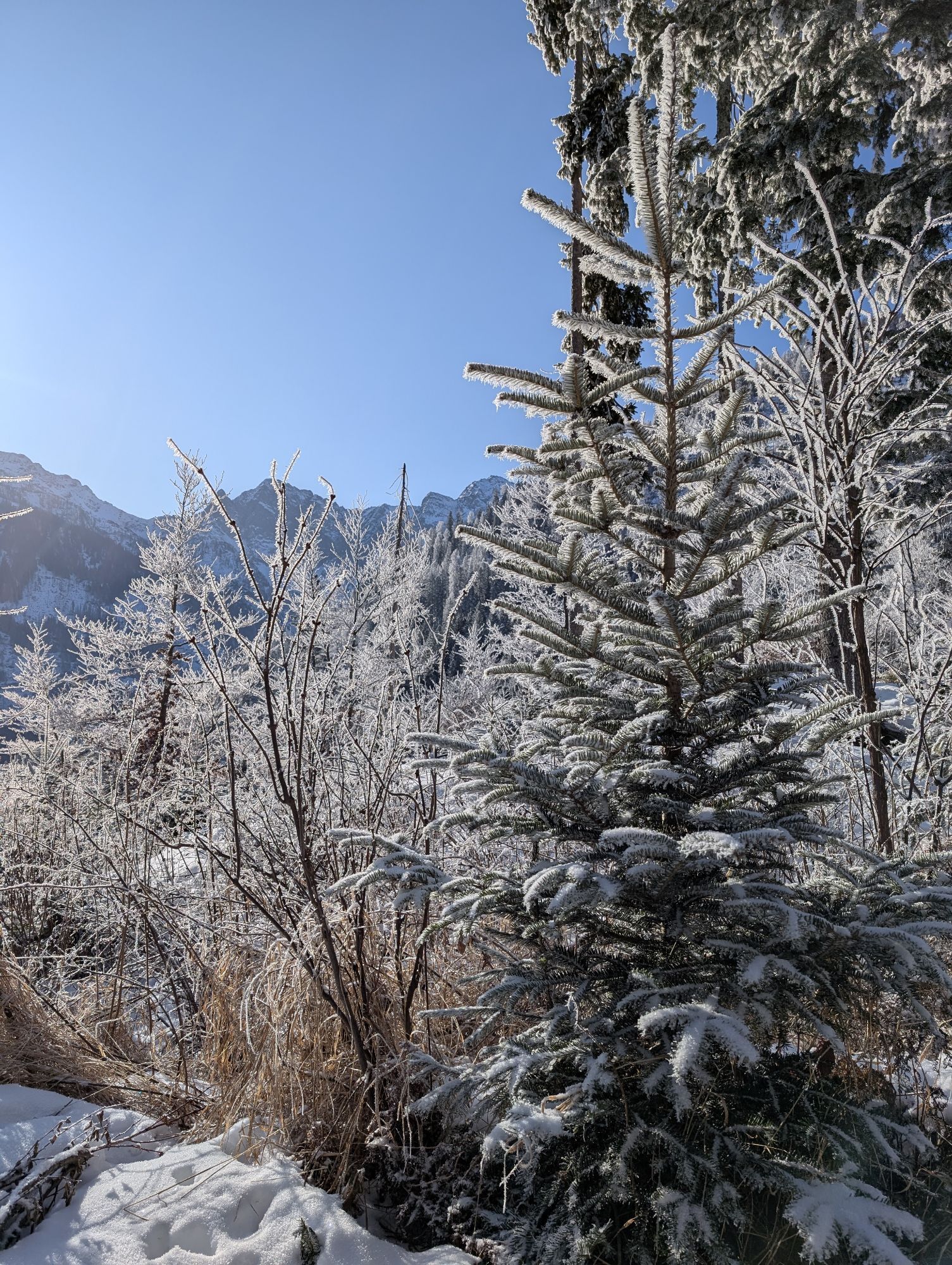
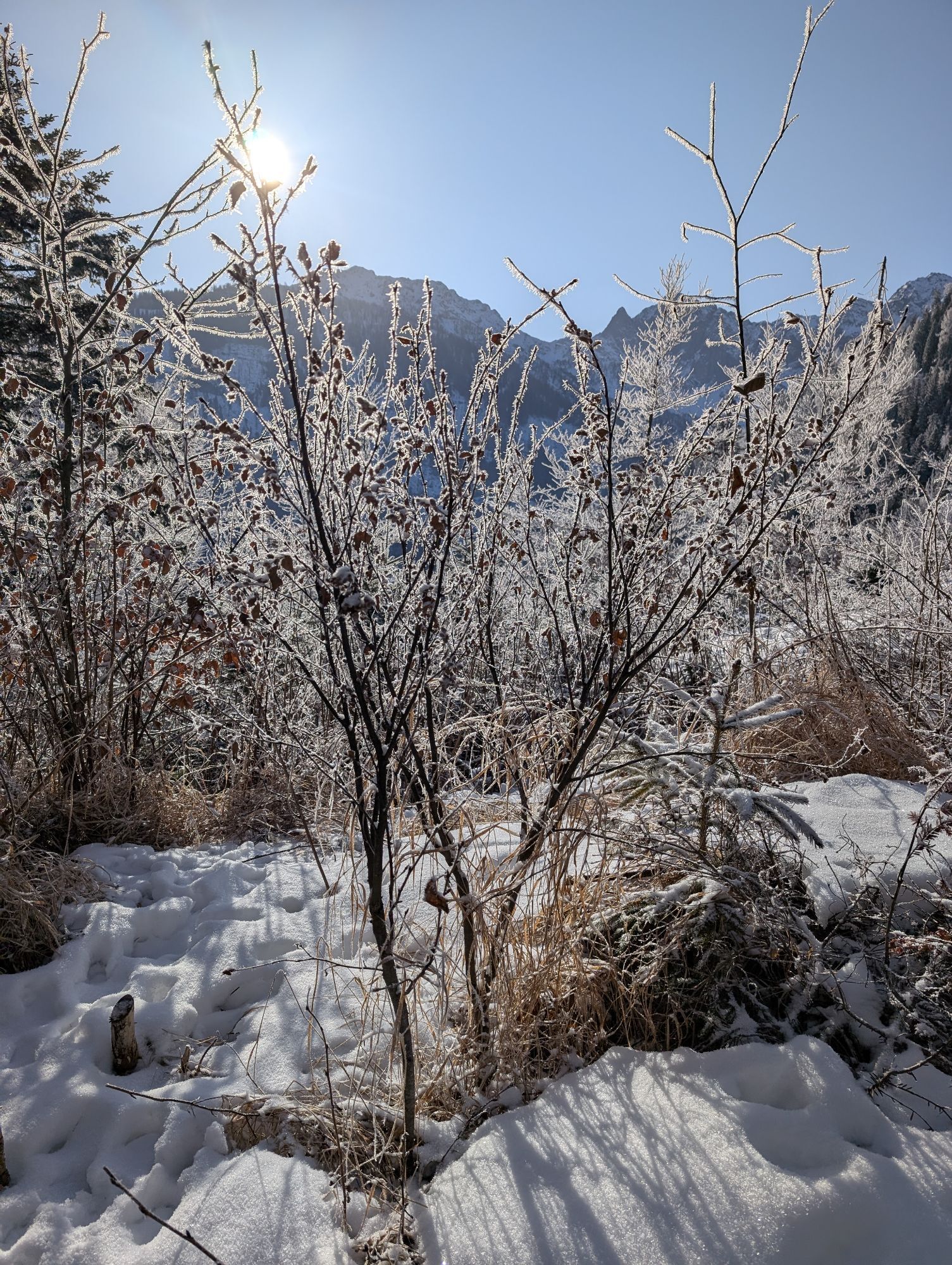
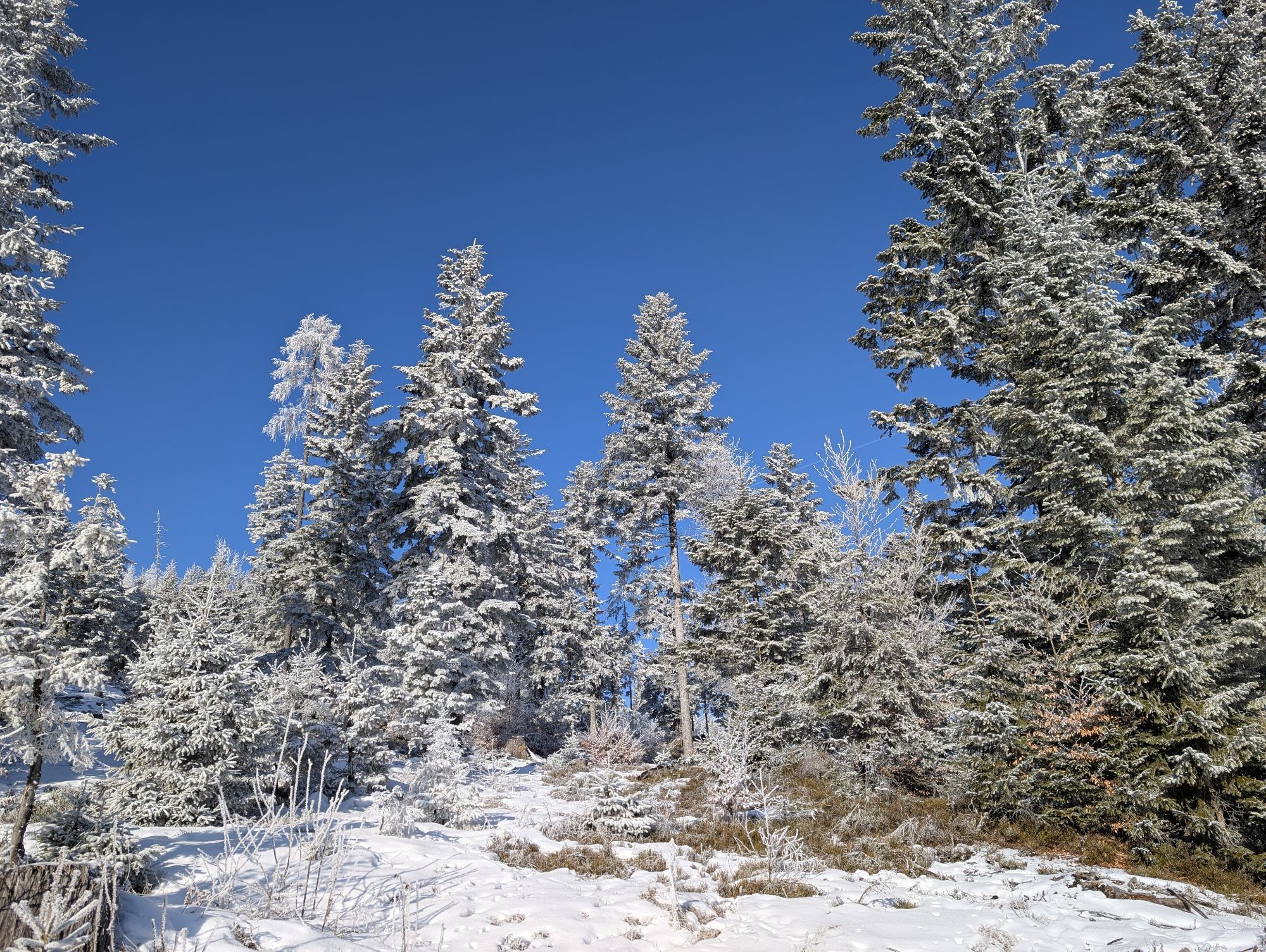
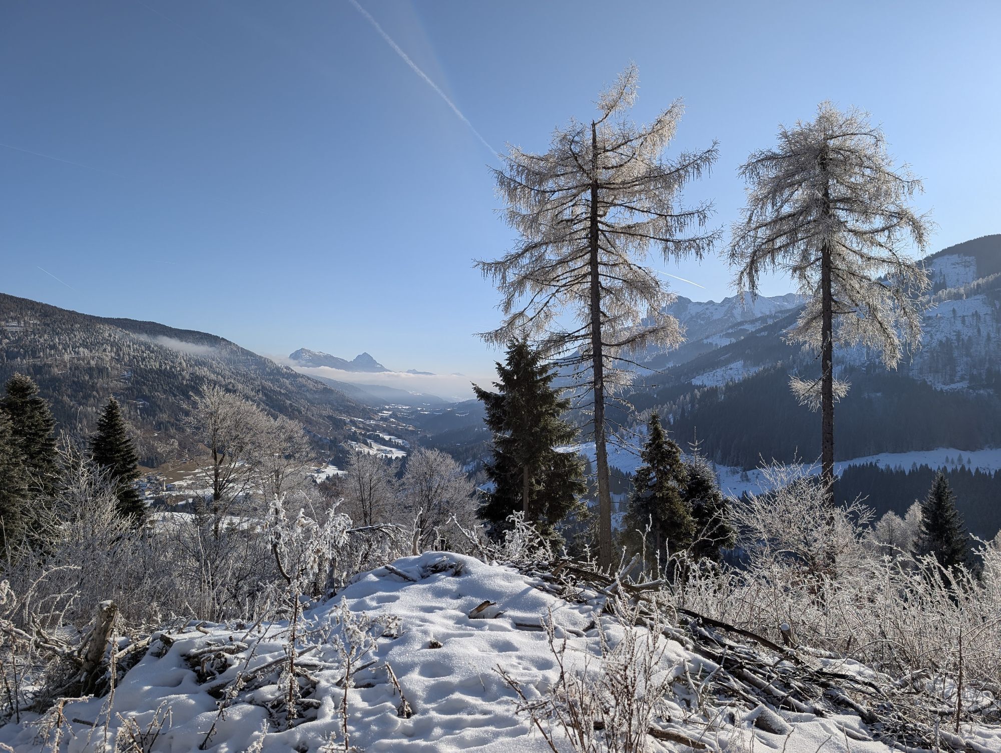
The hike leads past the highest settlement of Obergail (Plasegge). Over forest and pasture area, after about 4 km, you reach a viewpoint with a bench (drinking water nearby). Beautiful view of the Lesachtal with Liesing and surroundings. After a short hike (600 m) there is a sign for a recommended shortcut (this considerably shortens the route compared to the drive). After reaching the “Hurde” (formerly “Martha hut”), the hike initially ascends somewhat steeply and then continues along the ridge to the Gamskofel with summit cross. A direct descent from the Gamskofel to the Obergail Alm is very dangerous and almost impossible.

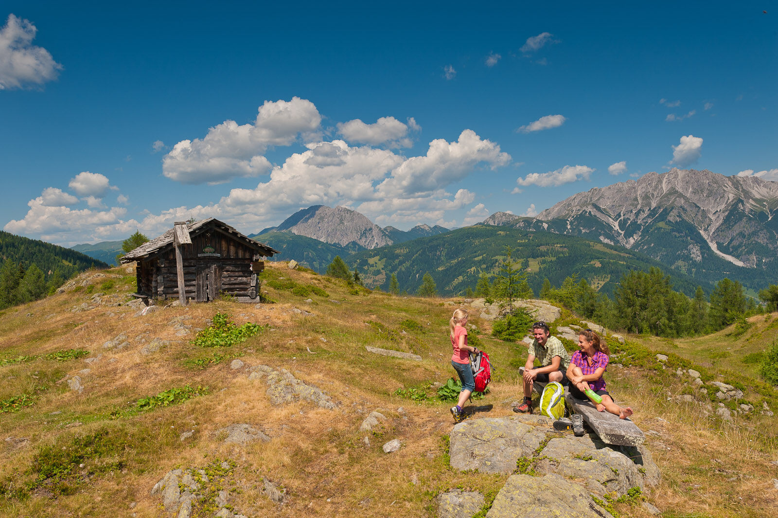
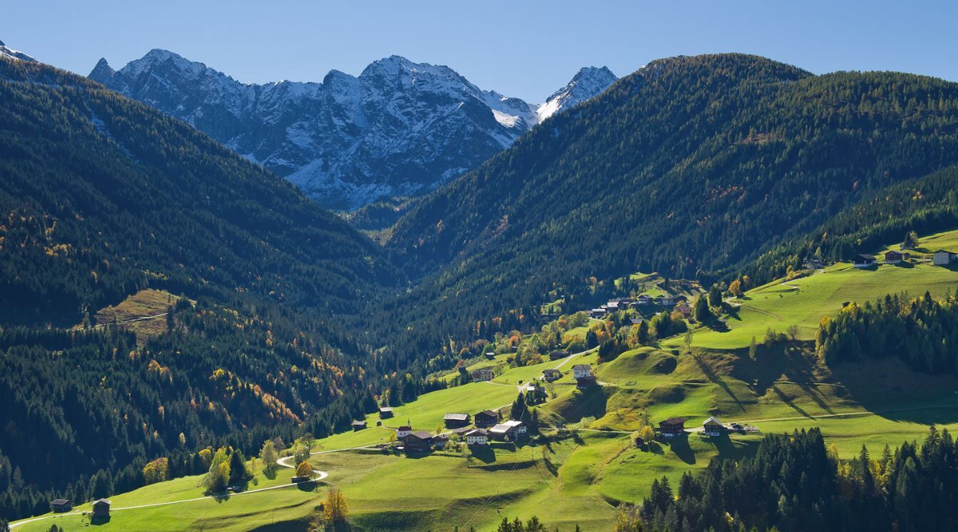
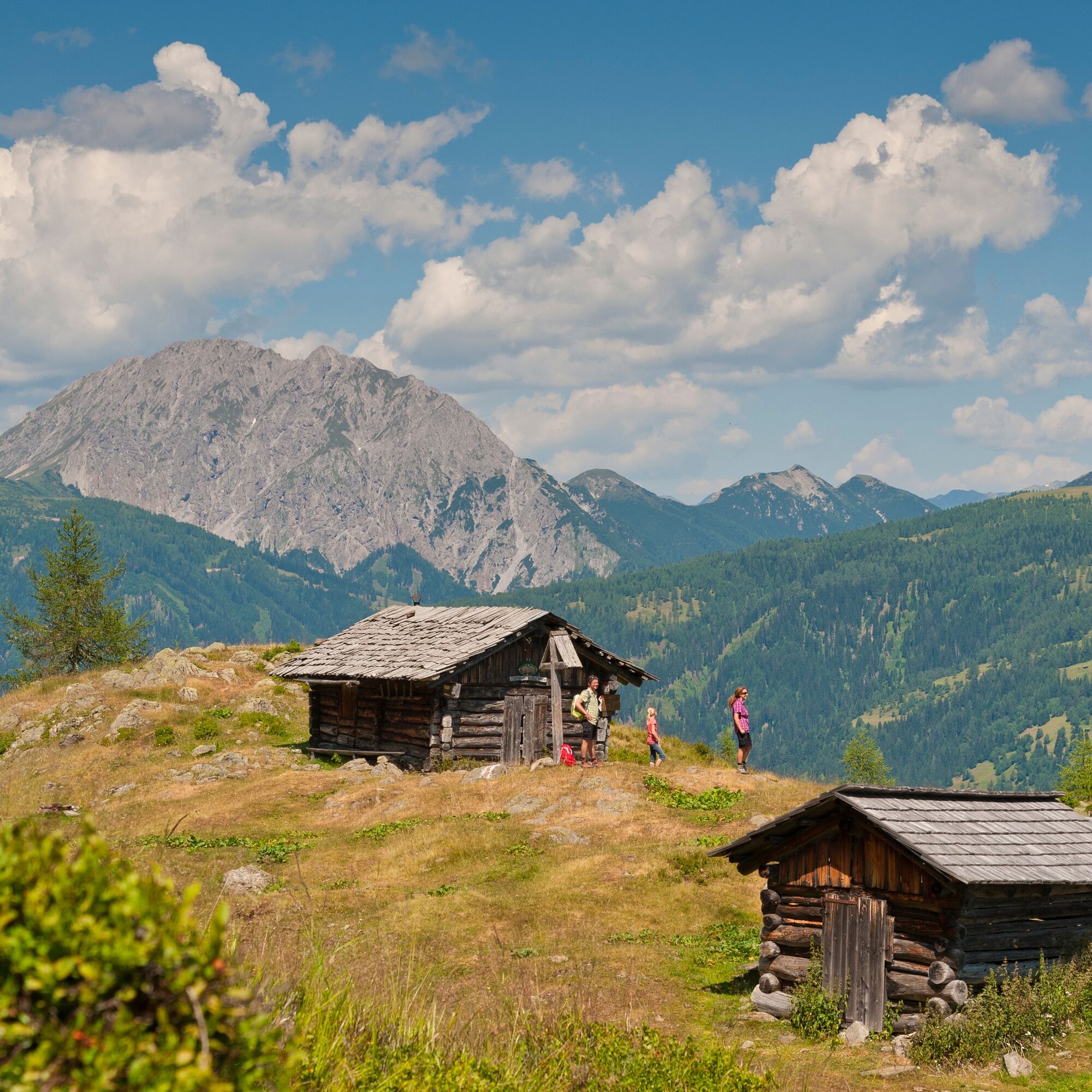
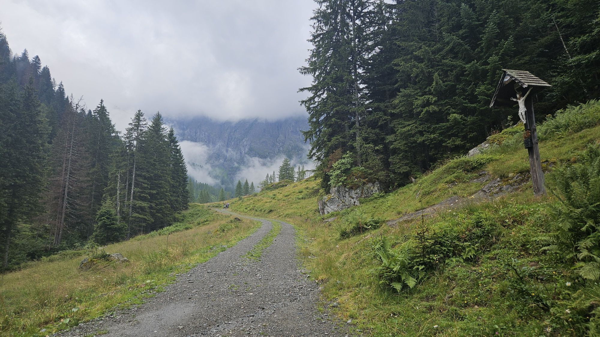
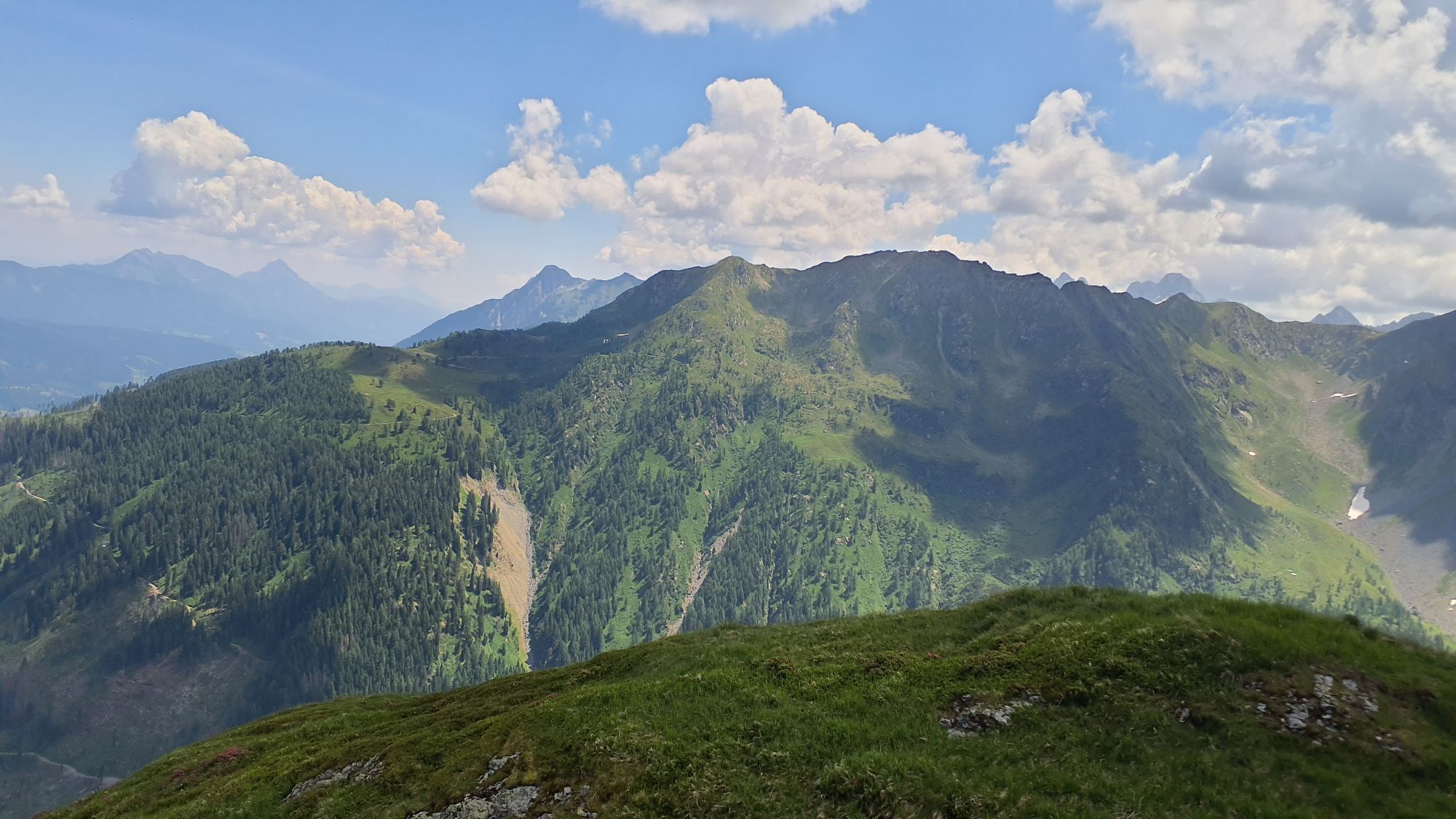
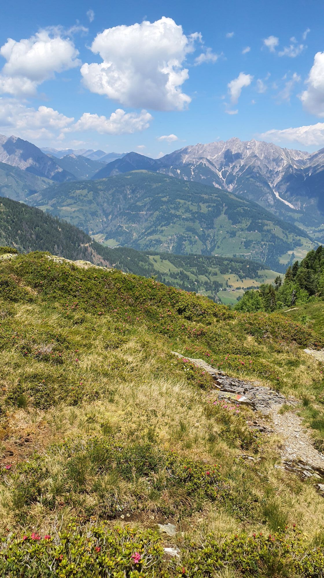
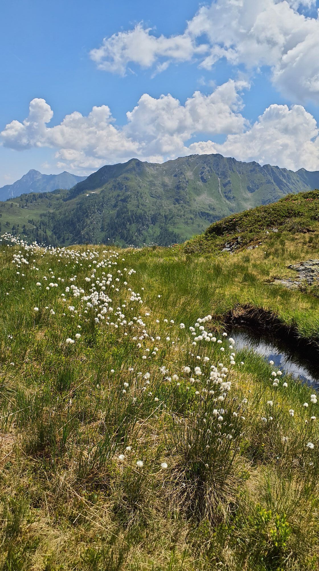
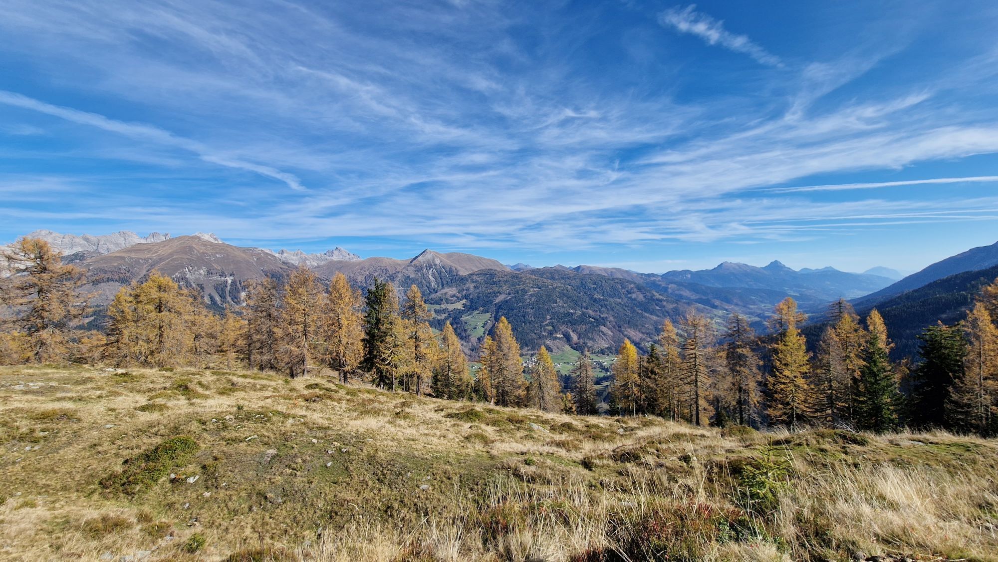
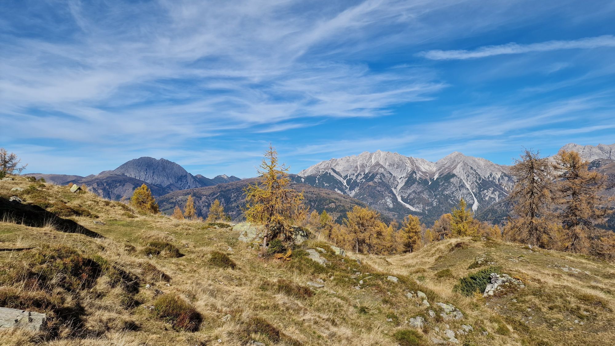
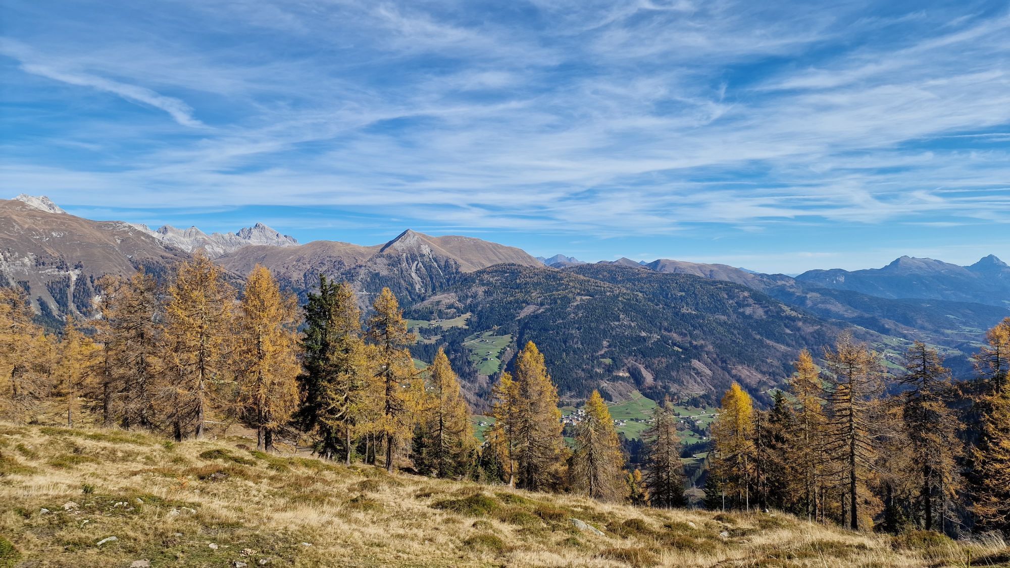
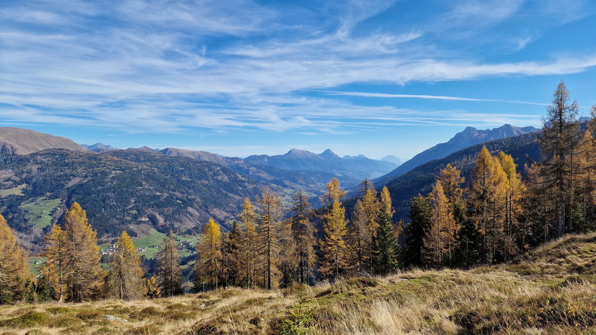
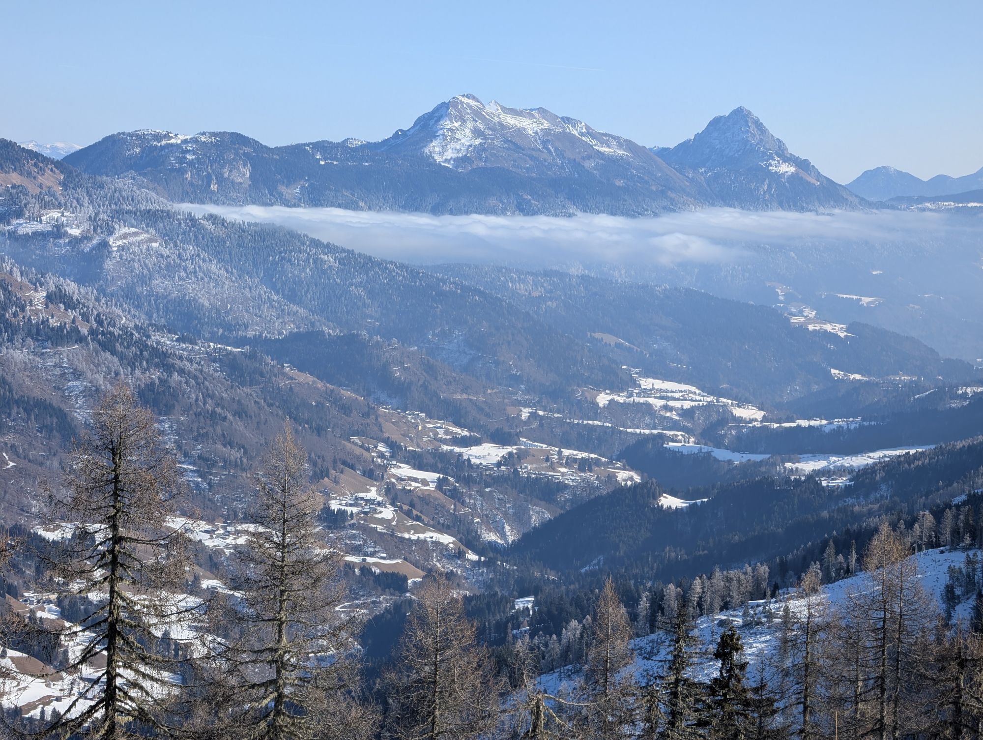
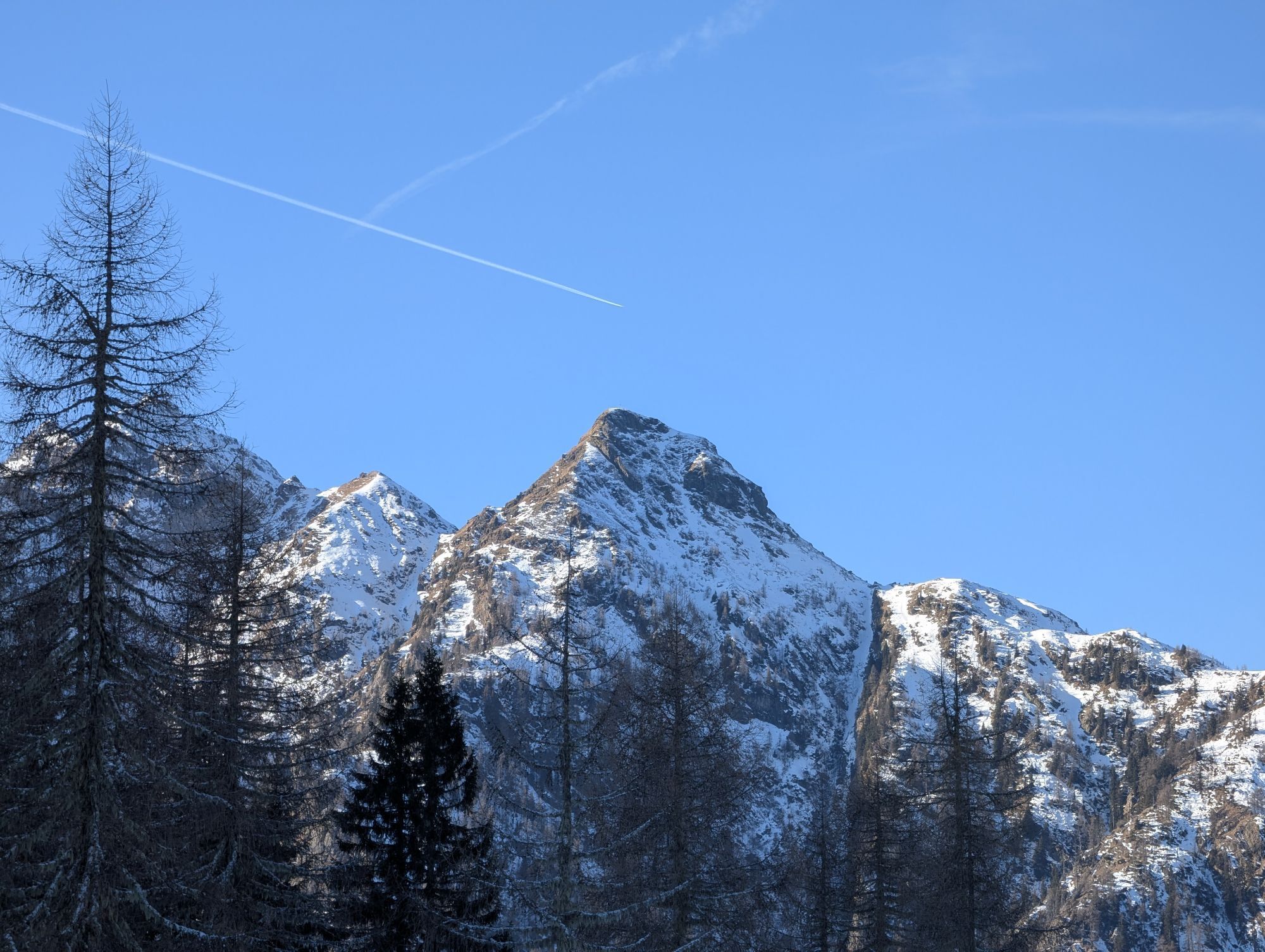
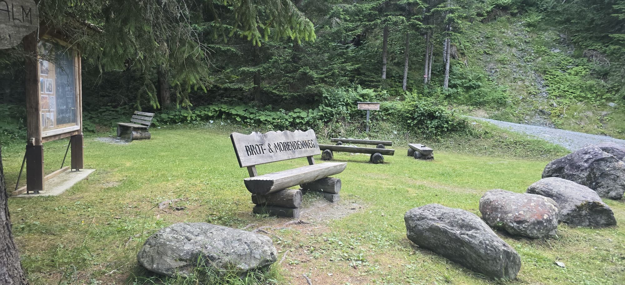
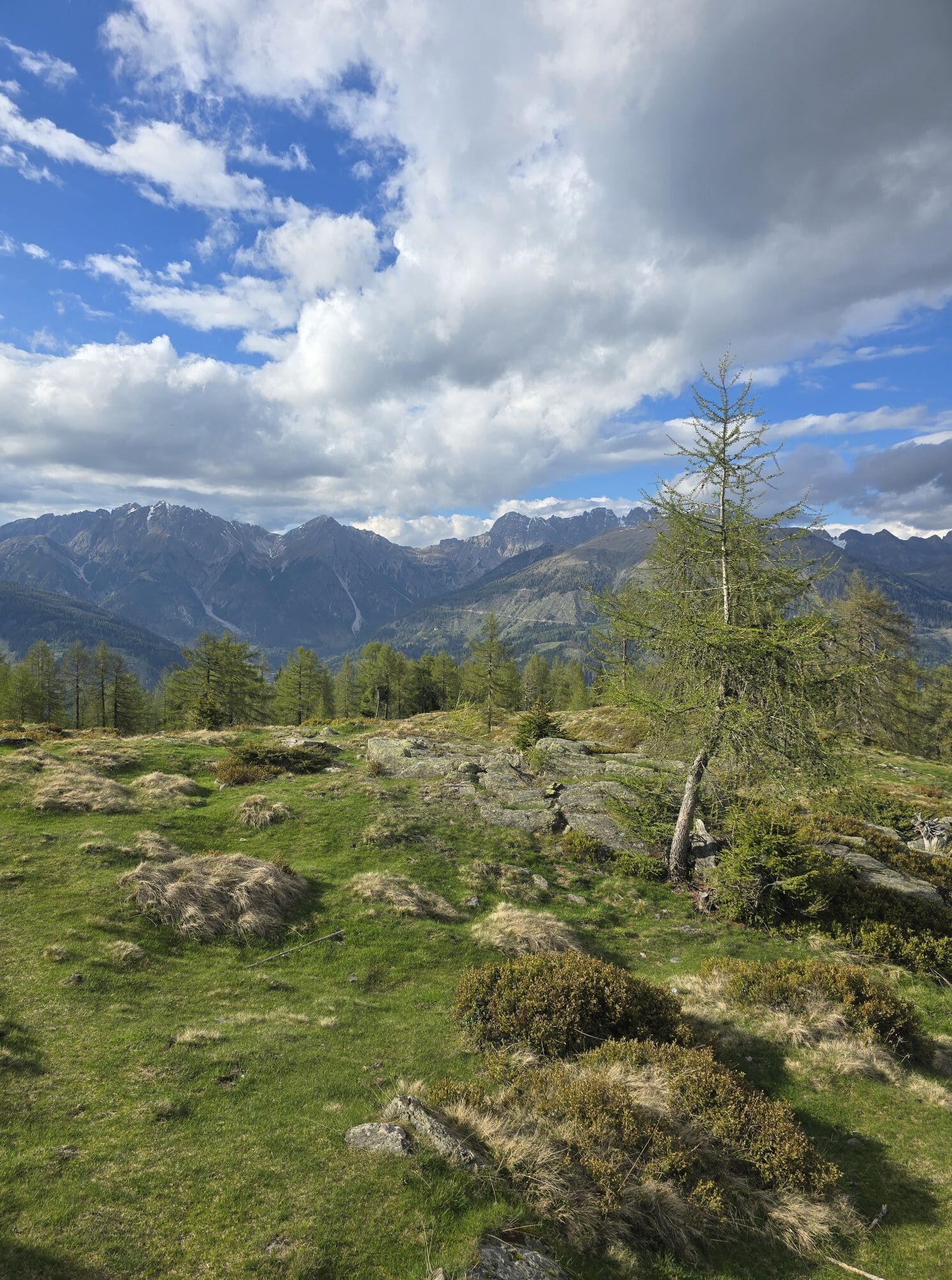
Starting point Liesing or road fork in Obergail. At the road fork in Obergail (orientation board with signs), the hike begins to the right along the drive towards Obergailer Berg. The hike passes the highest settlement of Obergail (Plasegge). Over forest and pasture area, after about 4 km, you reach a viewpoint with a bench (drinking water nearby). Beautiful view of the Lesachtal with Liesing and surroundings. After a short hike (600 m) there is a sign for a recommended shortcut (this considerably shortens the route compared to the drive). After reaching the “Hurde” (formerly “Martha hut”), the hike initially ascends somewhat steeply and then continues along the ridge to the Gamskofel with summit cross. The view from there is wonderful; you see the Steinwand nearby and the Raudenspitze to the right. To the left of the Steinwand are the Letterspitze, the Wasserköpfe, and the Mittagskofel. A direct descent from the Gamskofel to the Obergail Alm is very dangerous and almost impossible. When descending from the Gamskofel, we retrace the same path about 1 km back to the Obergail Alm junction. At this junction, you can choose: either the same way back to Obergail or hike to the Obergail Alm (steep descent – it is recommended to pay good attention to the markings), from where you will get back to Obergail, the original starting point of this hike. The control stamp is located at the summit cross on the Gamskofel.
Attention: Please inquire about the current trail and weather conditions before each route!
Tak
Requirement: Good mountain equipment, especially mountain boots and carrying drinking water.
Sure-footedness and a head for heights are required!
Please inquire about the current trail situation or possible trail closures before the route.
Coming from the east: By car via Kötschach-Mauthen into the Lesachtal to Liesing, then continue to the junction "Obergail", then 2 km further to Obergail
Coming from the west: By car via Sillian (Tassenbach) into the Lesachtal, then continue to St. Lorenzen, then further to the junction "Obergail", then 2 km further to Obergail
in Obergail
Several dining options in Obergail and surroundings


Popularne wycieczki w okolicy
-
4,7
Karlsbader Hütte über Rudl-Eller-Weg
ciężkiWędrówka 5,10 km -
4,5
Karnischer Höhenweg – Etappe 4: Hochweißsteinhaus – Wolayersee Hütte
ciężkidługodystansowy szlak pieszy 15,9 km -
4,8
Pirknerklamm (C)
średniVia ferrata 2 km -
4,8
Lienzer Dolomiten-Lasertörl
średniWędrówka 13,2 km -
4,7
Obergail - Obergailer Alm - Obergailer Lake - Enderberg hut - Source for Health & Peace - Madonna circular hiking route - Obergail
średniWędrówka 11,4 km -
3,9
Karlsbader Hütte - Lienzer Dolomiten
Wędrówka 8 km -
4,9
Karnischer Hauptkamm - Hohe Warte 2.780m - Hike and Bike
ciężkiWycieczki górskie 19,5 km -
5,0
Porzehütte (1.942 m)
światłoWędrówka 9,01 km -
4,3
Mountain bike route from the Hubertus Chapel to the Wolayersee
ciężkiMountainbike 9,06 km -
3,9
Summit hike to the Hochstadel
średniWędrówka 7,83 km
Wędrówki i tropienie


Nie przegap ofert i inspiracji na następne wakacje
Twój adres e-mail została dodana do listy mailingowej.