


Über den Bärensattel auf den Hochstuhl
Zdjęcia naszych użytkowników

 © euterpe42Utworzono dnia 13.05.2026
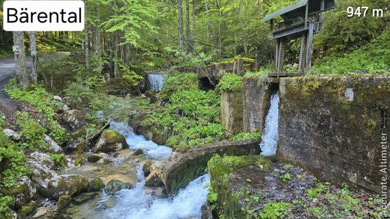 © euterpe42Utworzono dnia 13.05.2026
 © Sebastian SkubelUtworzono dnia 30.08.2025
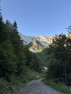
 © DeyanX12Utworzono dnia 10.08.2025
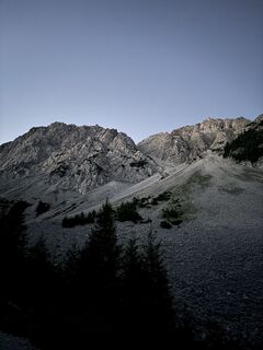 © DeyanX12Utworzono dnia 10.08.2025
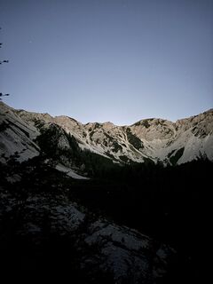 © DeyanX12Utworzono dnia 10.08.2025
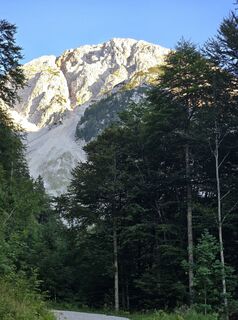
 © 〽️anni.bbUtworzono dnia 09.08.2025
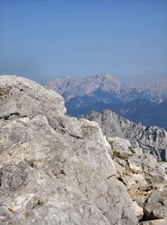 © 〽️anni.bbUtworzono dnia 09.08.2025
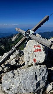 © 〽️anni.bbUtworzono dnia 09.08.2025
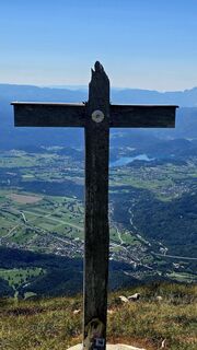 © 〽️anni.bbUtworzono dnia 09.08.2025
 © AnnJuUtworzono dnia 15.07.2025
 © AnnJuUtworzono dnia 15.07.2025
 © Christian ZinglerUtworzono dnia 15.07.2025
 © Christian ZinglerUtworzono dnia 15.07.2025
 © Christian ZinglerUtworzono dnia 15.07.2025
 © Christian ZinglerUtworzono dnia 15.07.2025
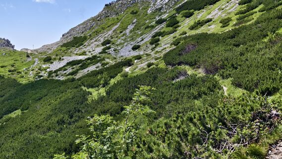 © AnnJuUtworzono dnia 15.07.2025
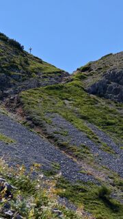 © AnnJuUtworzono dnia 15.07.2025
 © AnnJuUtworzono dnia 15.07.2025
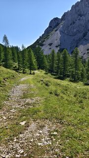 © AnnJuUtworzono dnia 15.07.2025
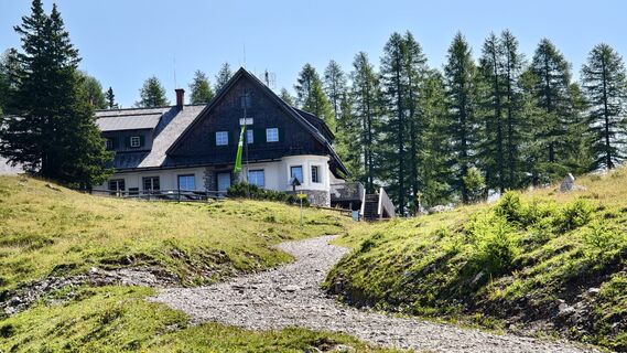 © AnnJuUtworzono dnia 15.07.2025
 © AnnJuUtworzono dnia 15.07.2025
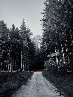 © Christian ZinglerUtworzono dnia 15.07.2025
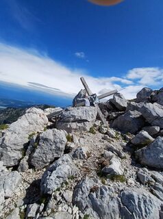
 © Gert SalcheggerUtworzono dnia 10.07.2025
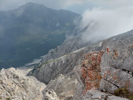
 © Daniel Kössler-BeguschUtworzono dnia 20.06.2025
 © Daniel Kössler-BeguschUtworzono dnia 20.06.2025
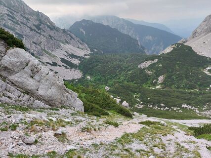 © Daniel Kössler-BeguschUtworzono dnia 20.06.2025
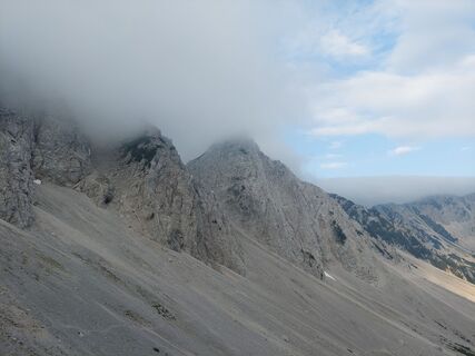 © Daniel Kössler-BeguschUtworzono dnia 20.06.2025
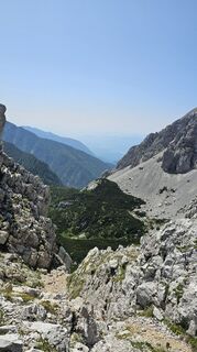
 © Mehmet KocUtworzono dnia 14.06.2025
 © Mehmet KocUtworzono dnia 14.06.2025
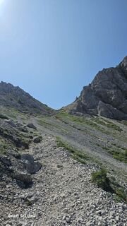 © Mehmet KocUtworzono dnia 14.06.2025
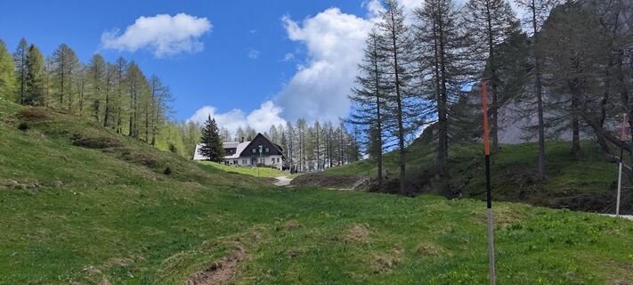 © Kurt SchmalzmayerUtworzono dnia 19.05.2025
 © Martina OitzingerUtworzono dnia 14.08.2021
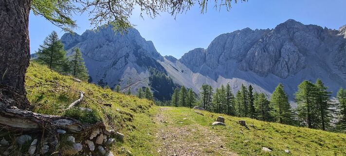 © Martina OitzingerUtworzono dnia 14.08.2021
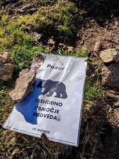
 © Michi ModerUtworzono dnia 16.10.2022
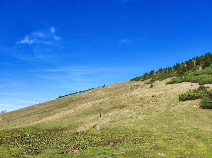 © Michi ModerUtworzono dnia 16.10.2022
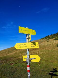 © Michi ModerUtworzono dnia 16.10.2022
 © Michi ModerUtworzono dnia 16.10.2022
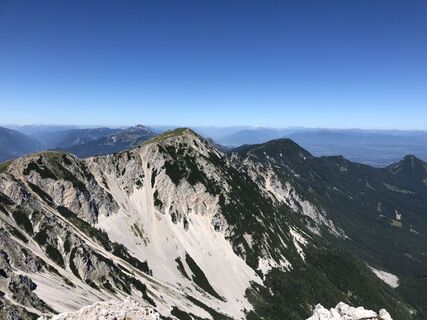
 © gdogUtworzono dnia 18.08.2019
 © gdogUtworzono dnia 18.08.2019
 © gdogUtworzono dnia 18.08.2019
 © Michael ForstnerUtworzono dnia 07.04.2026
 © Michael ForstnerUtworzono dnia 07.04.2026
 © Michael ForstnerUtworzono dnia 07.04.2026
 © Michael ForstnerUtworzono dnia 07.04.2026
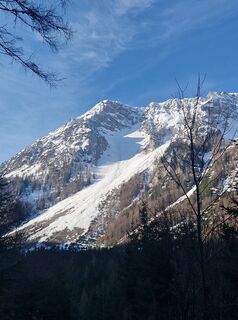 © Michael ForstnerUtworzono dnia 07.04.2026
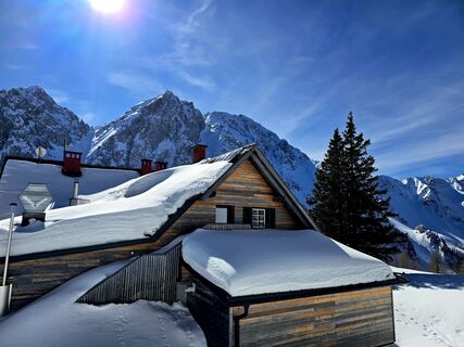 © 〽️anni.bbUtworzono dnia 28.02.2026
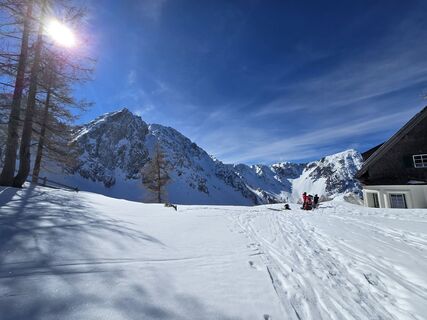 © 〽️anni.bbUtworzono dnia 28.02.2026

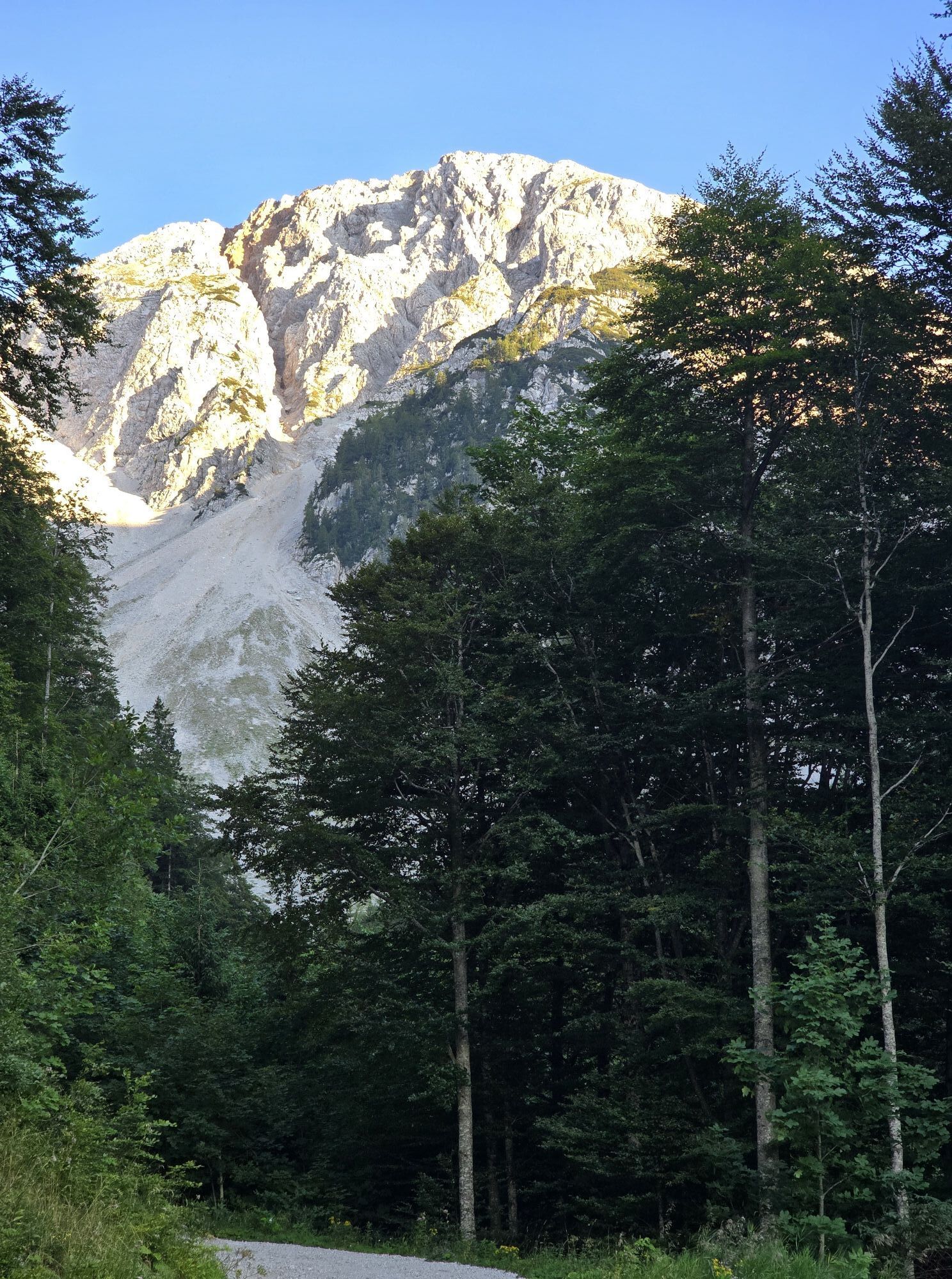


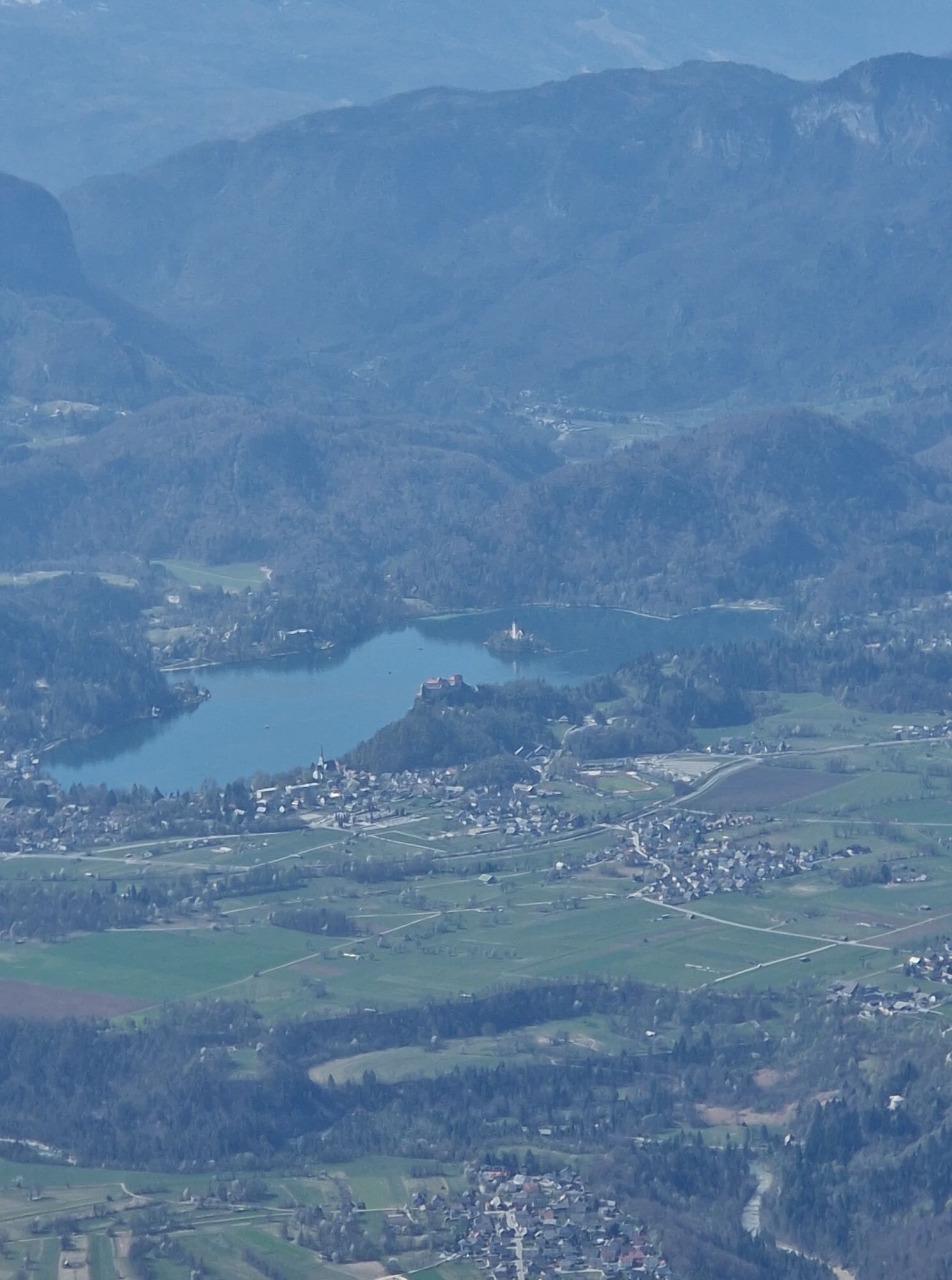
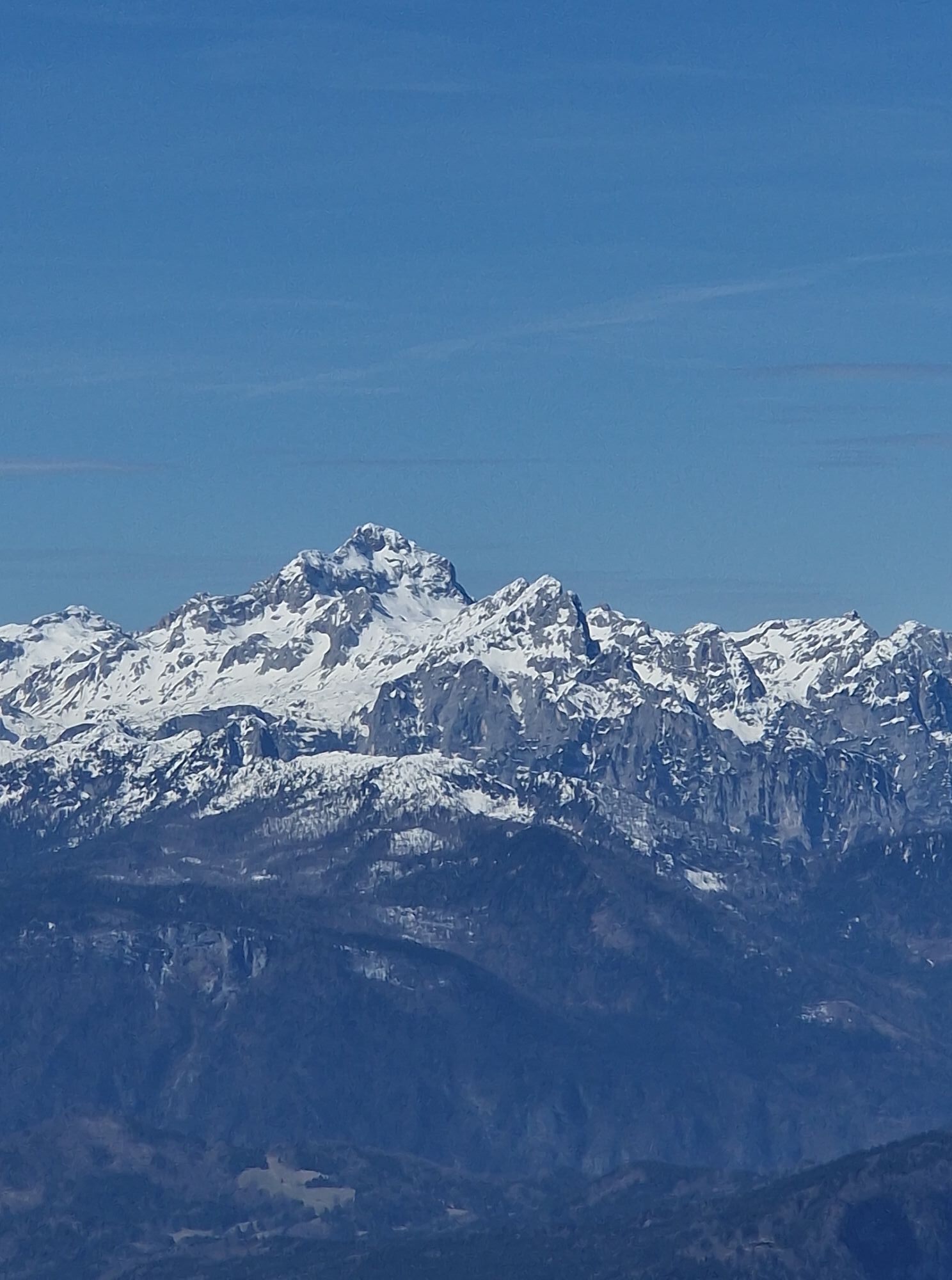


Extensive and strenuous, but scenically impressive hike in the heart of the Karawanken.
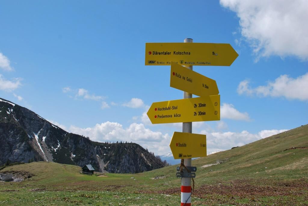


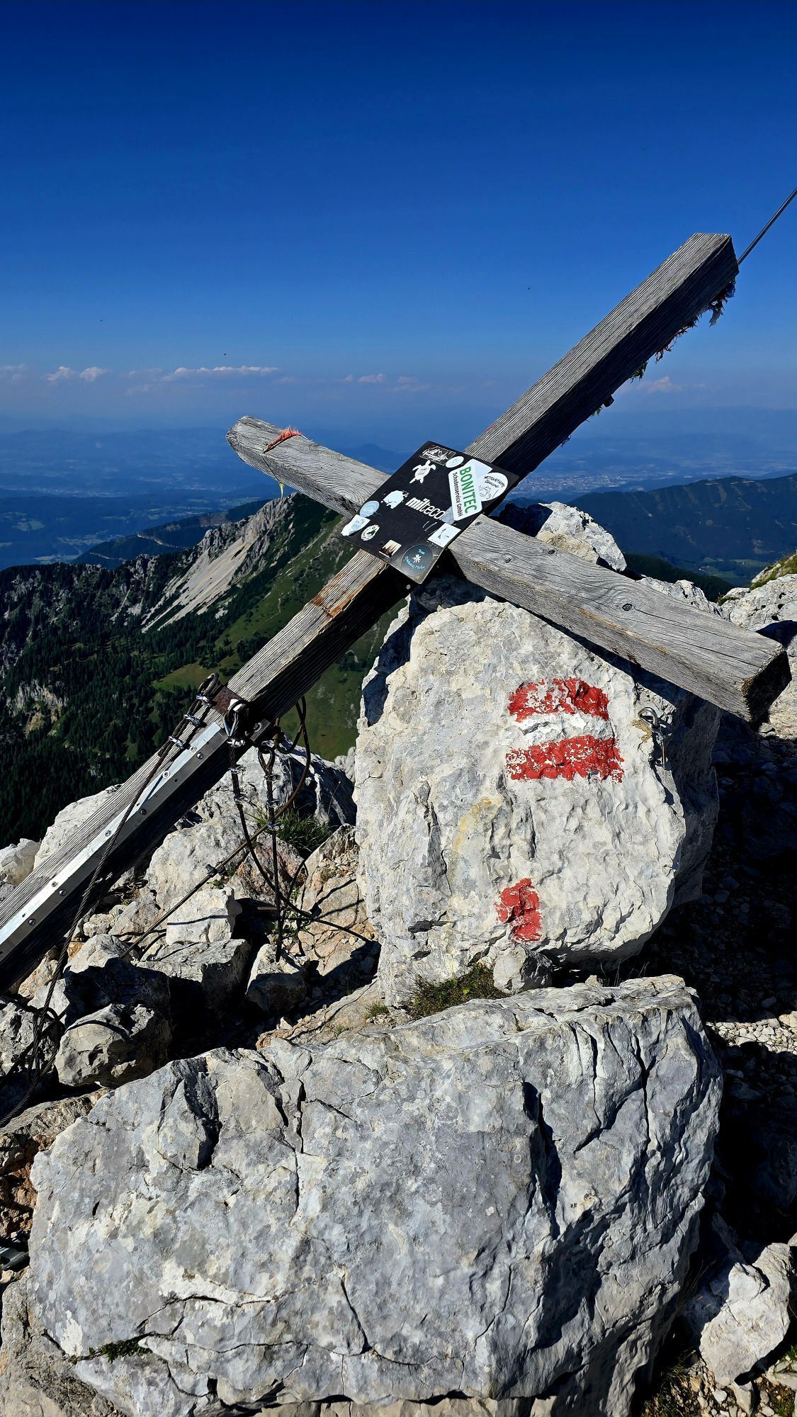
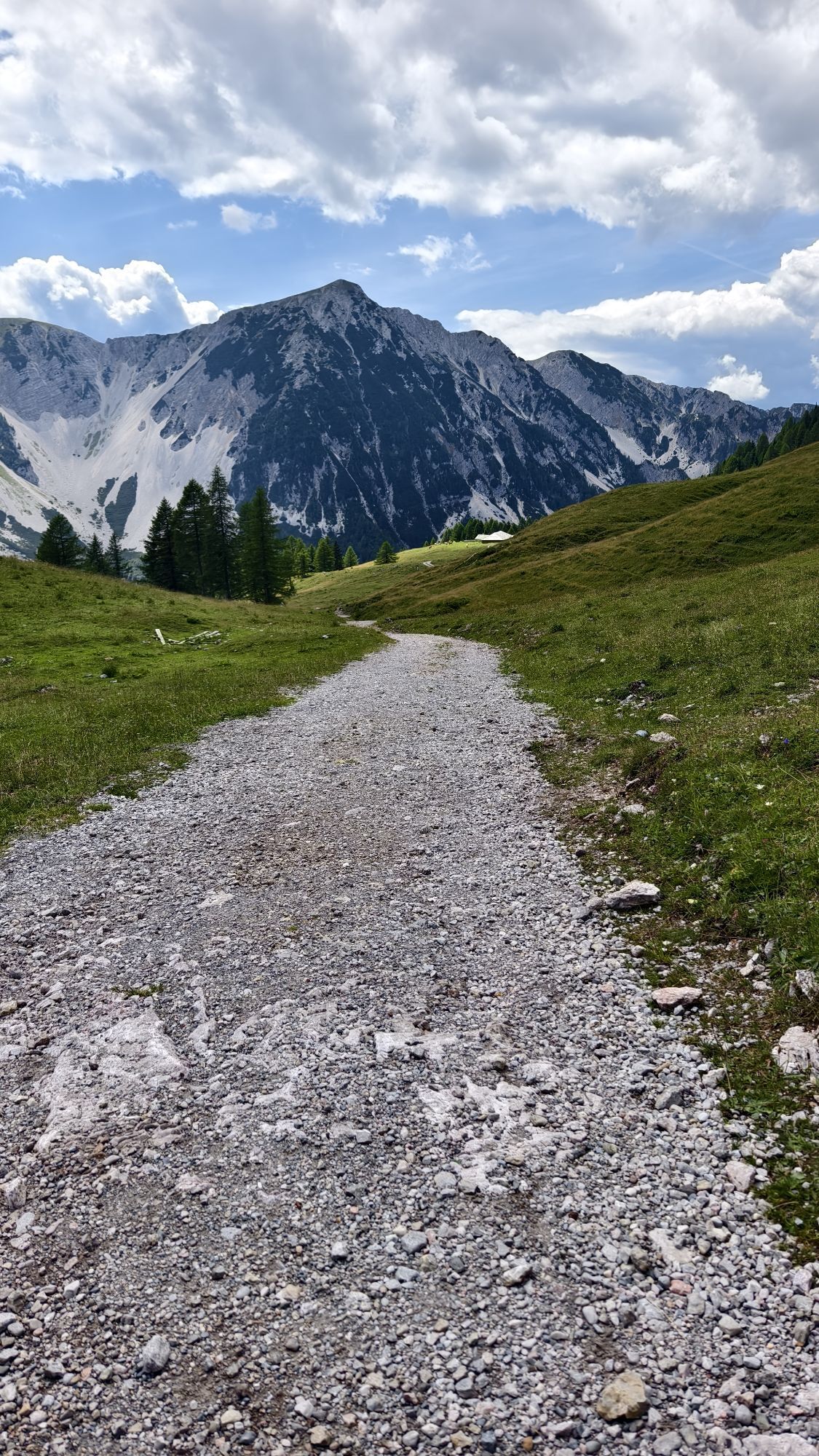
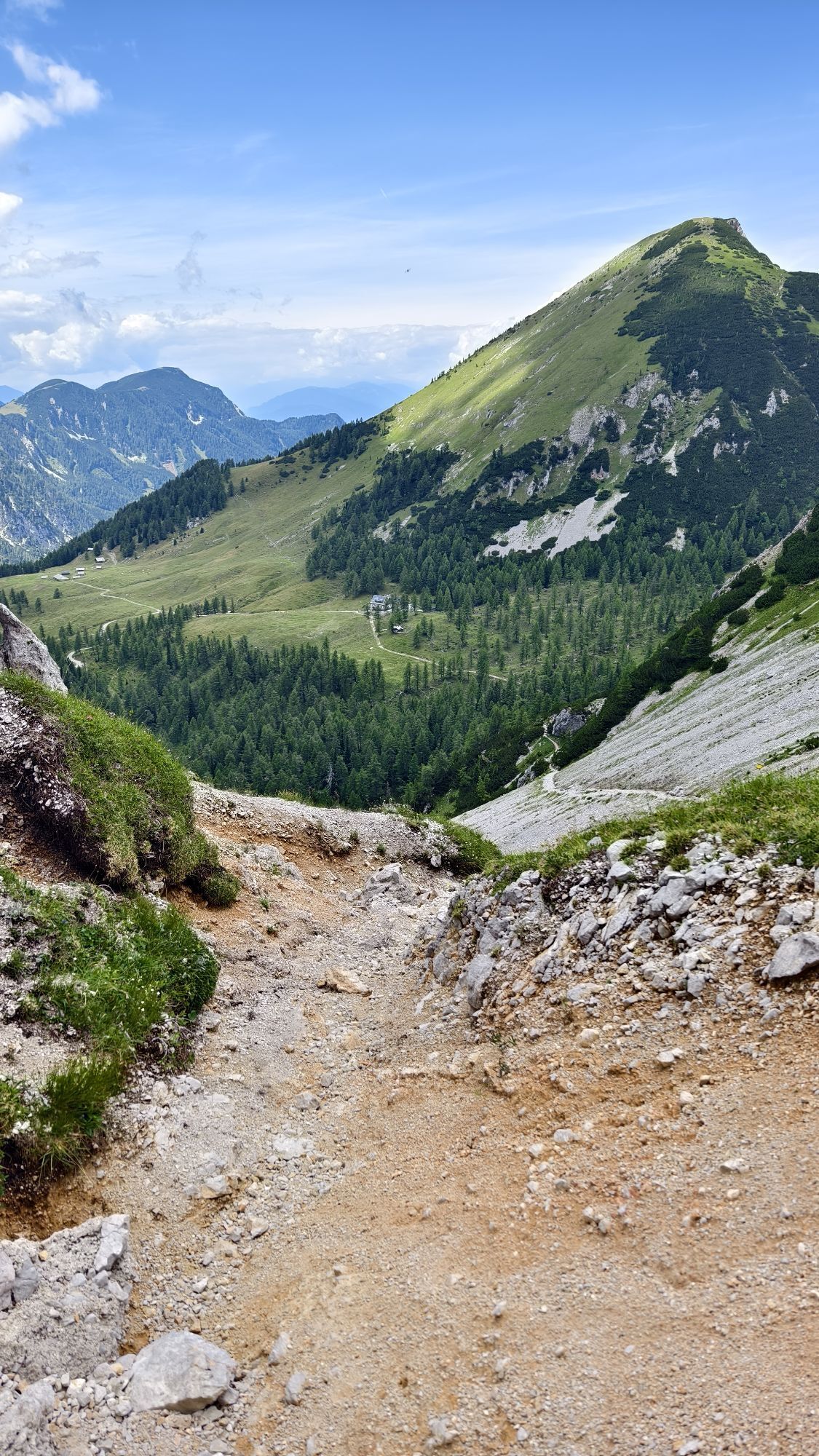
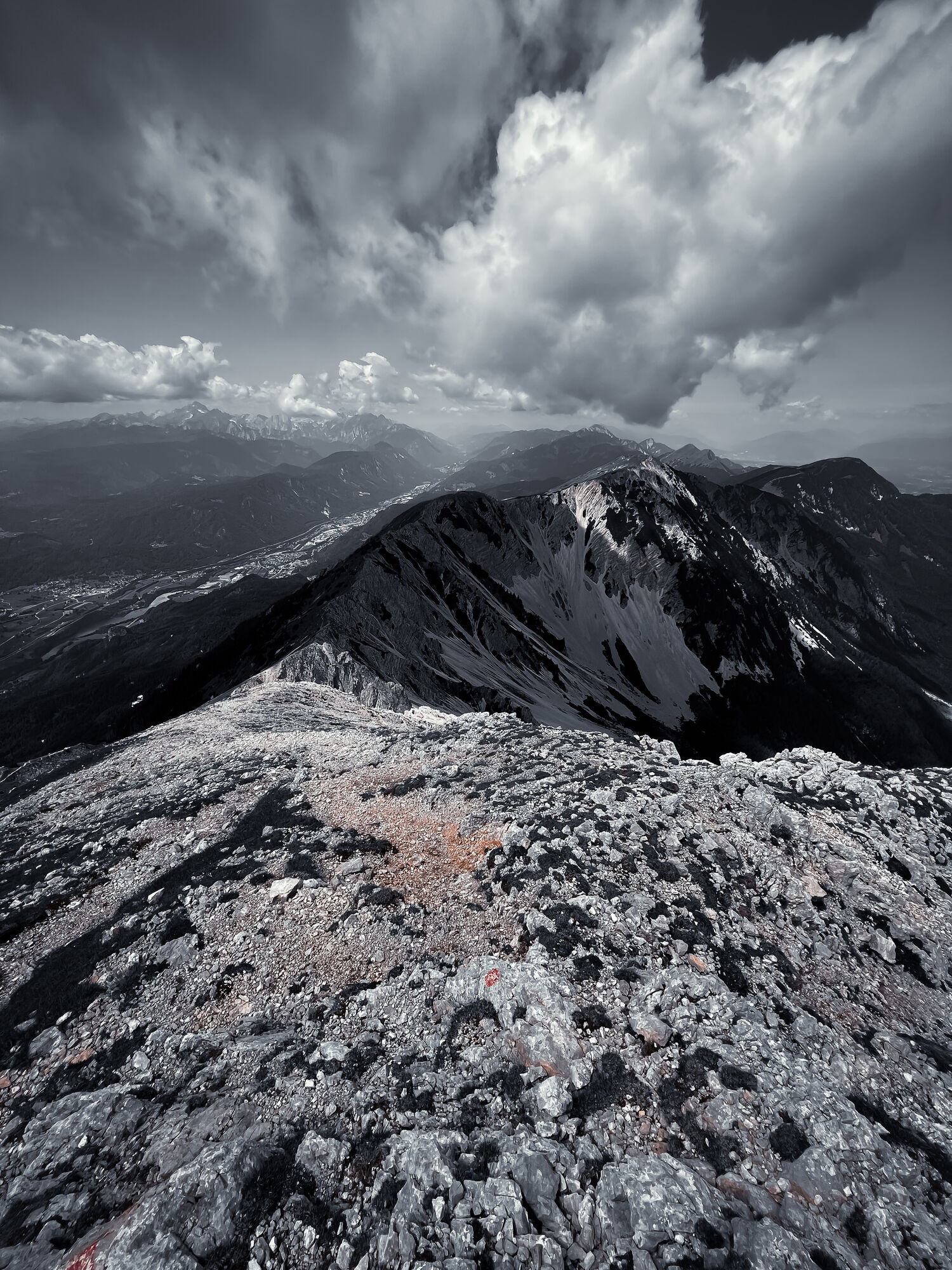
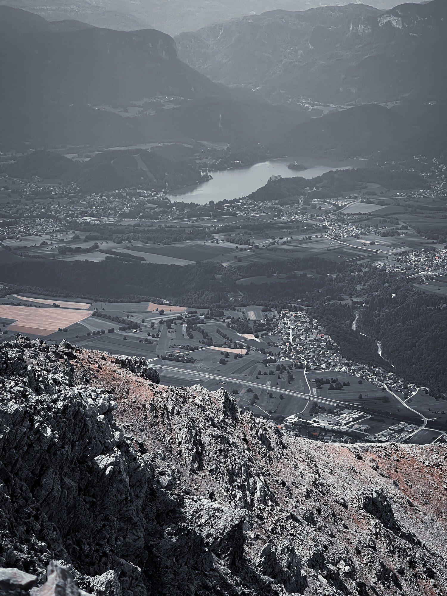
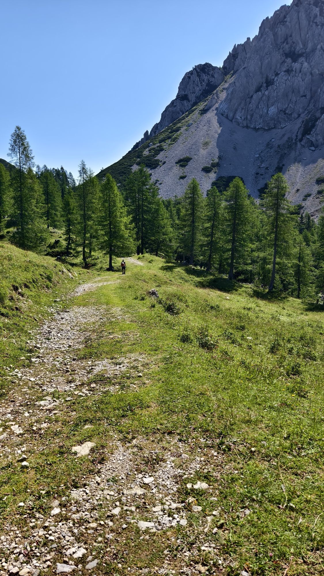
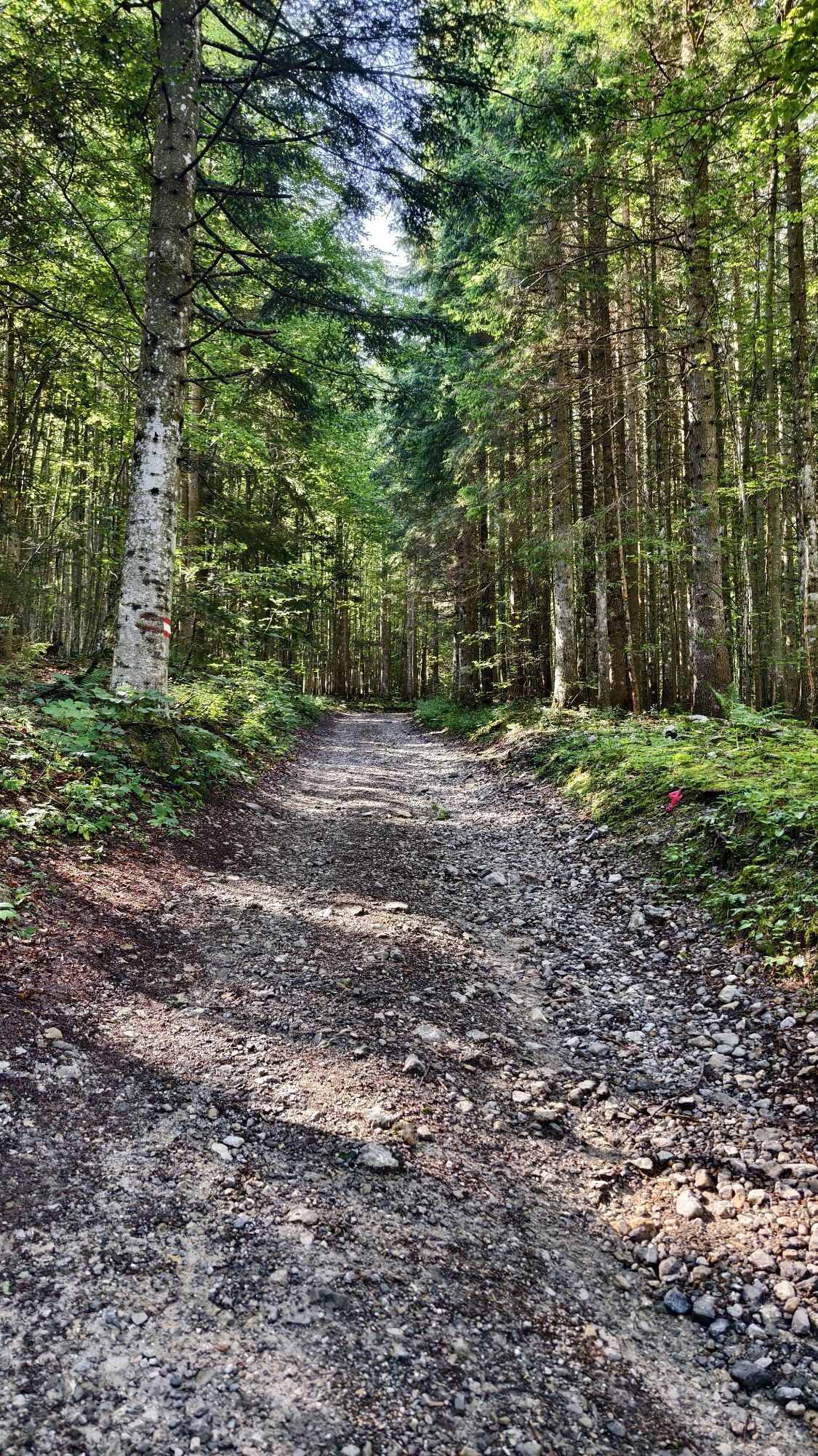
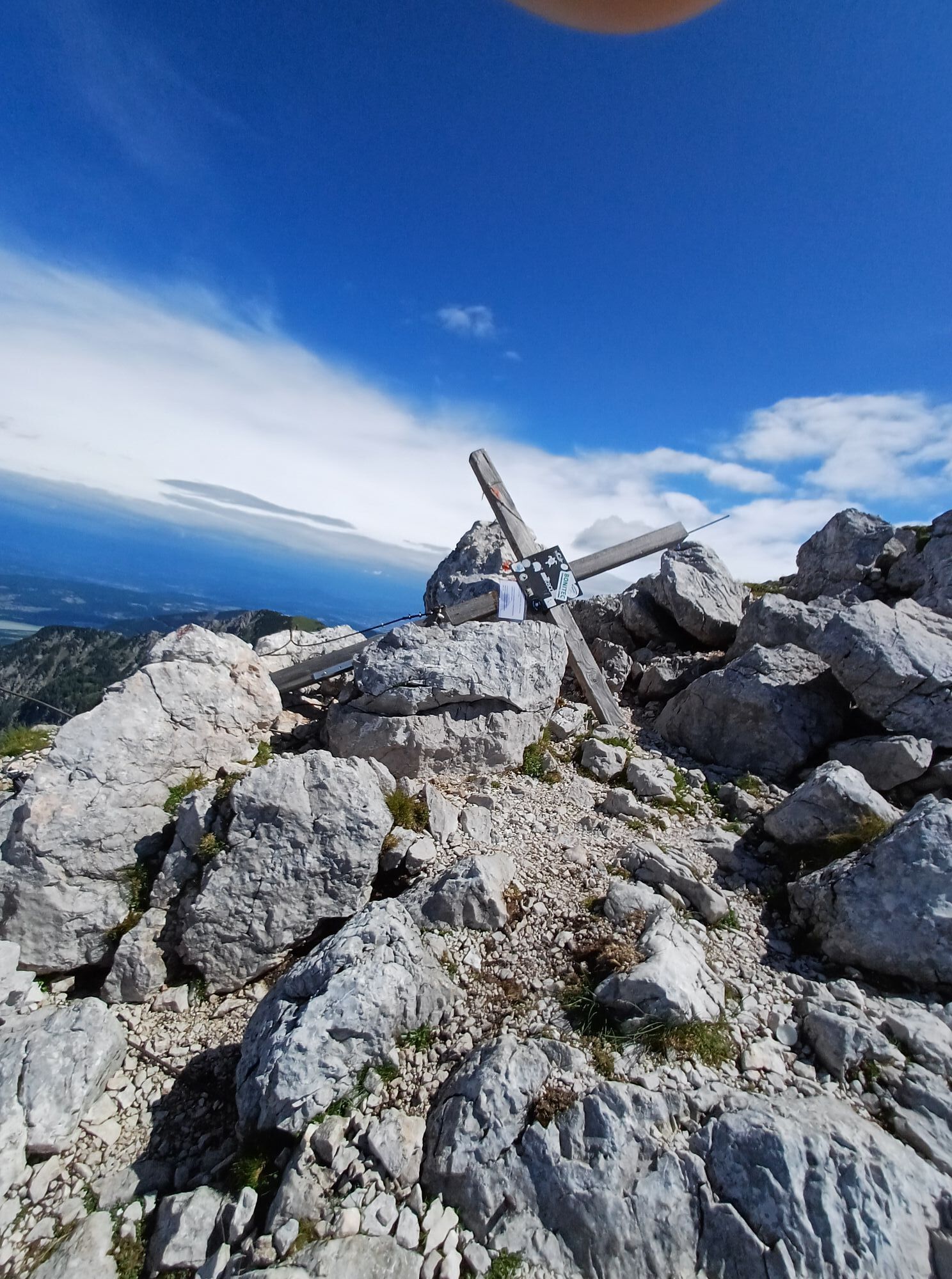
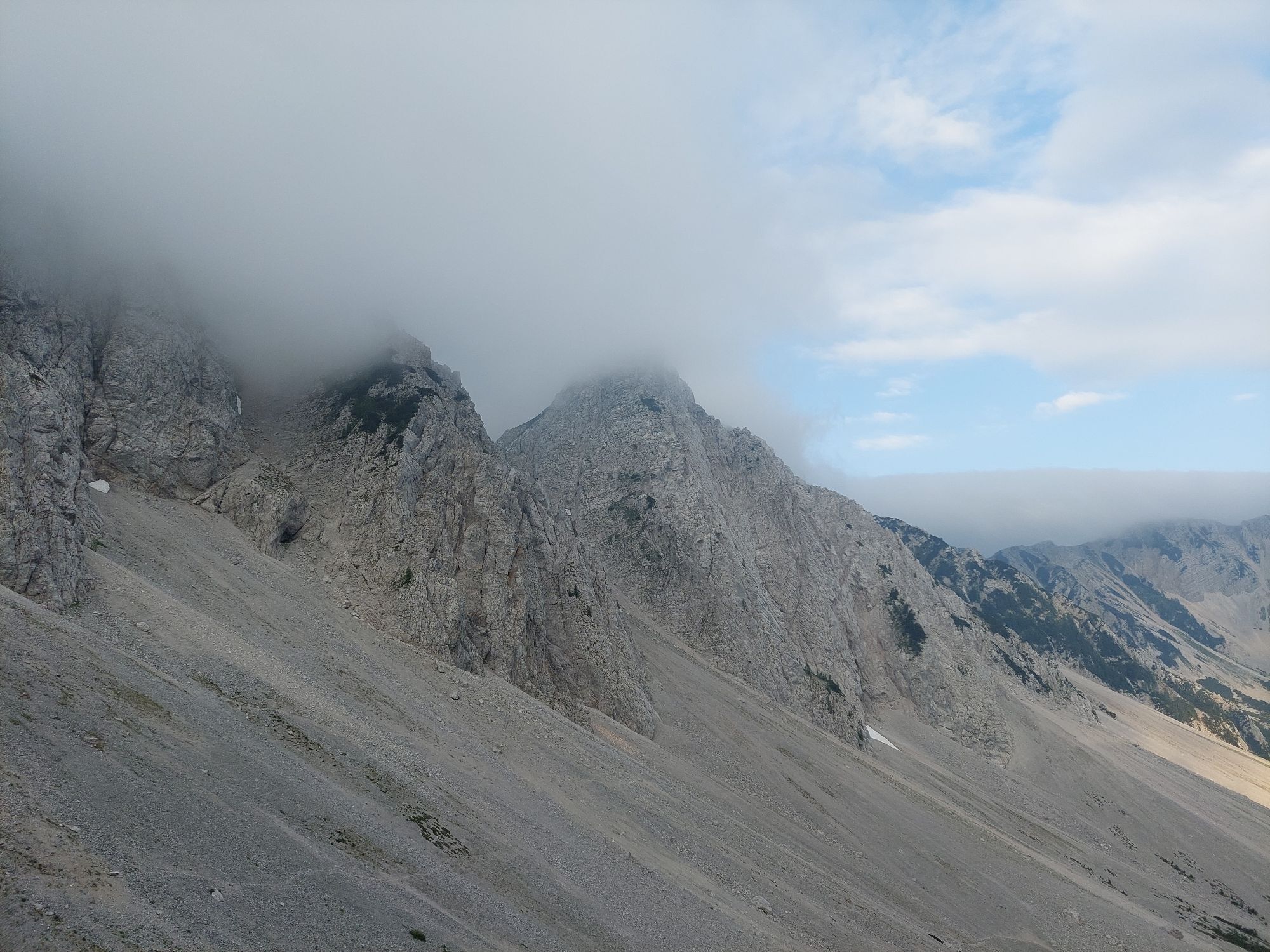
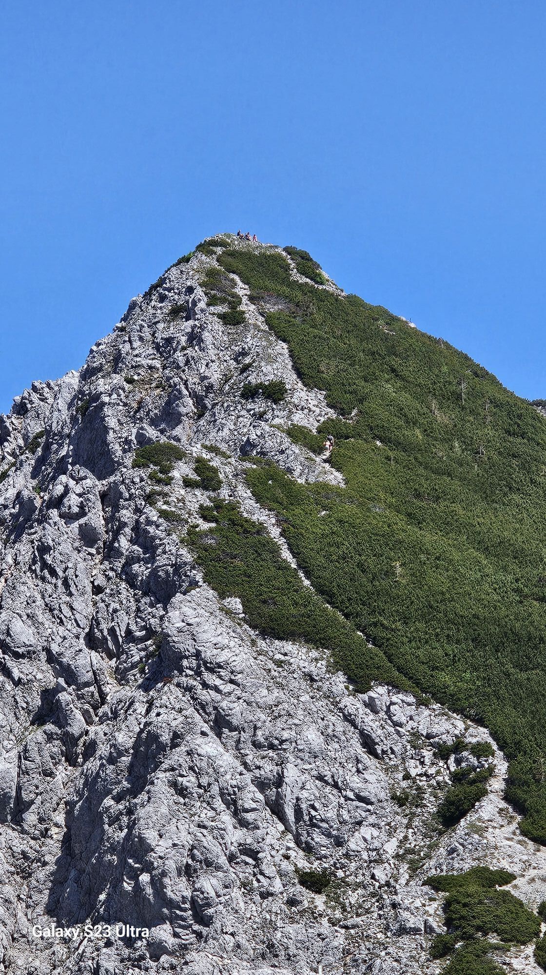
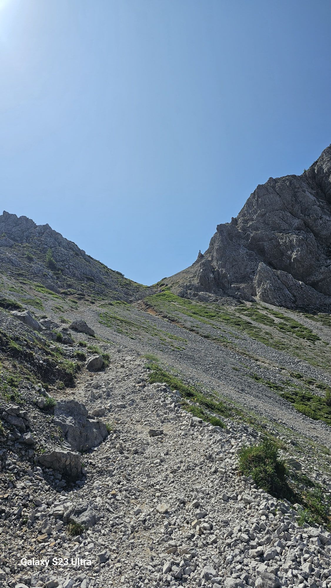
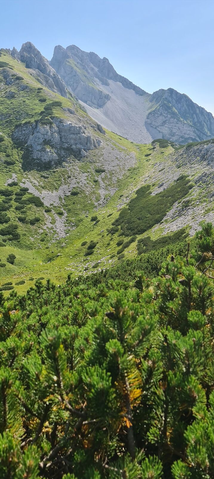
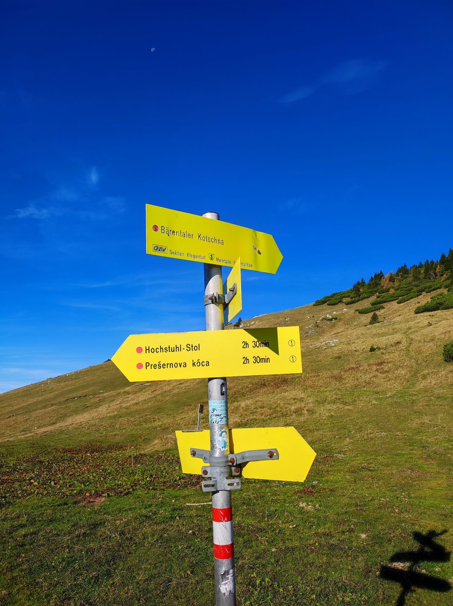
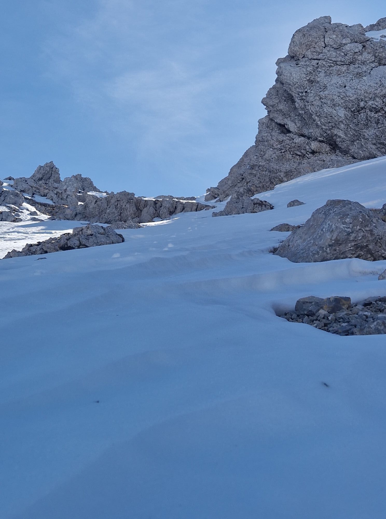
At the Stouhütte (960m), hiking trail no. 603A/ 672 leads directly to the Bärensattel (1703m). From here, continue east along the Panoramaweg Südalpen, past the Weinasch (2104m) up to the Hochstuhl (2237m). Descend via the steep north cirque of the Hochstuhl, continue below the Klagenfurter Spitze to the Bilschitzasattel and down to the Klagenfurter Hütte. Via forest road and hiking trail to the starting point at the Stouhütte parking lot.
Tak
Complete mountain equipment, snack, sufficient drink! Passport or valid identity card!
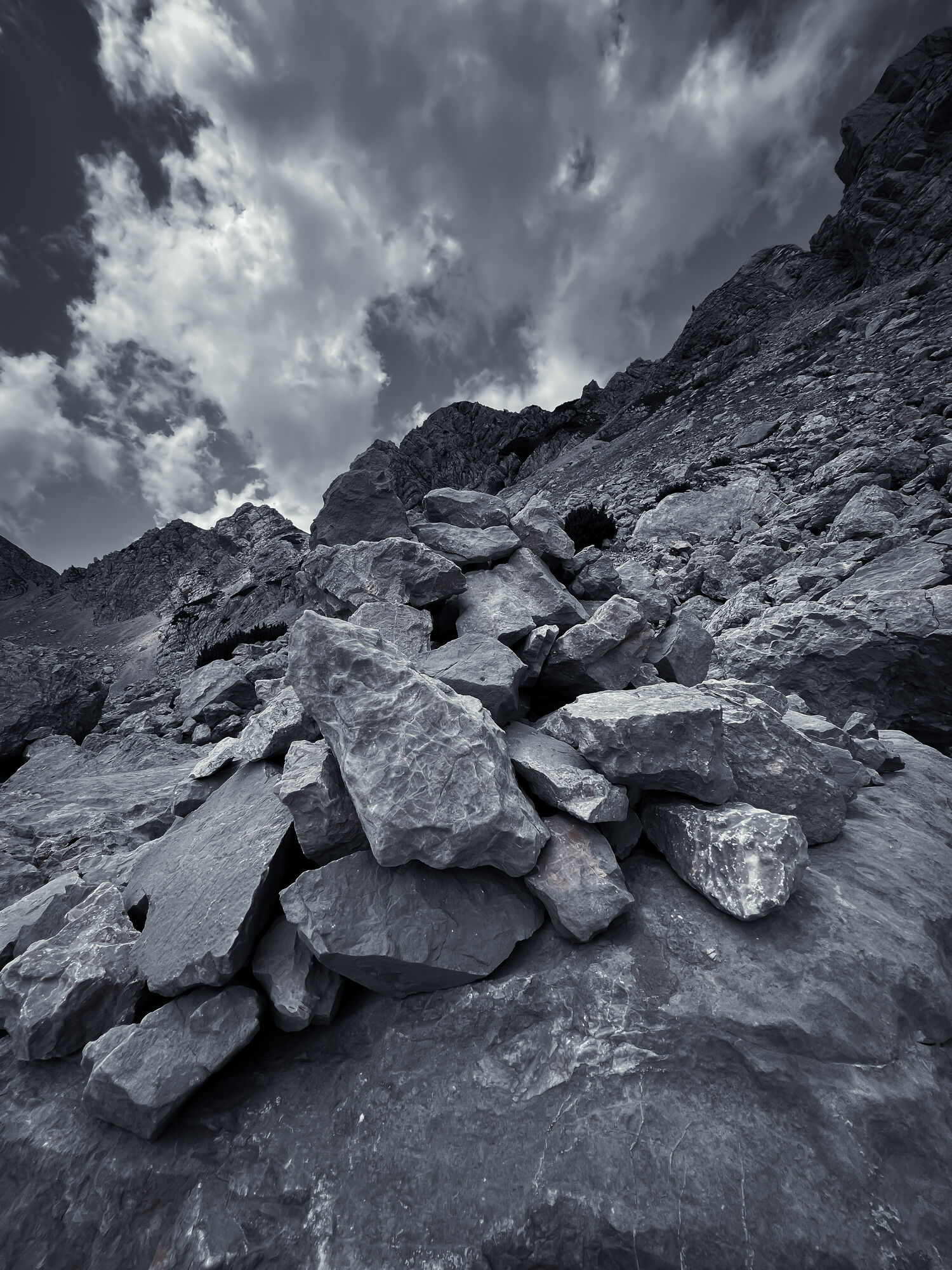
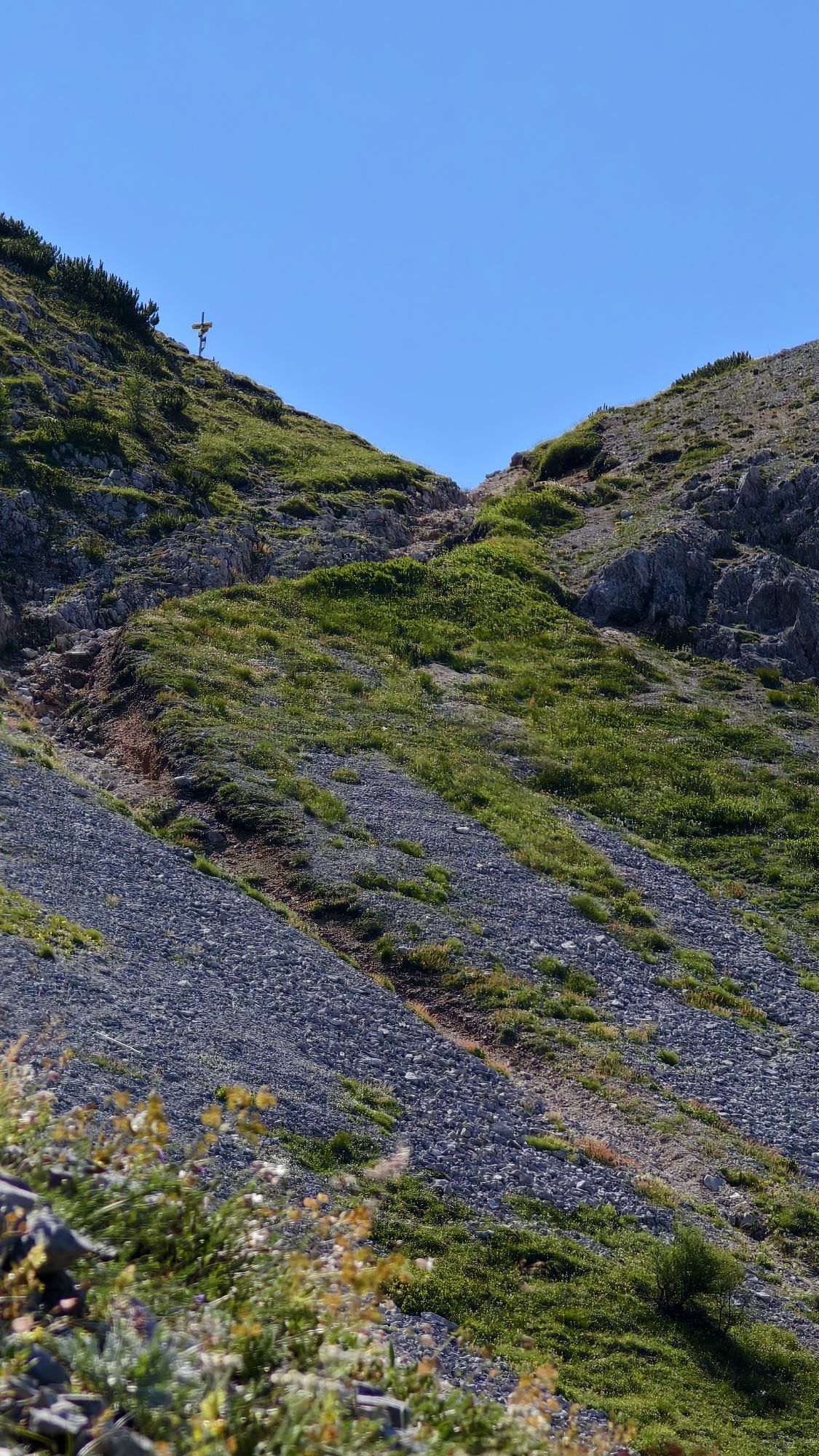
Cross the mountain pasture, descending slightly, and in the lower orographic left-hand corner cross the mountain pines again, ascending very slightly, until the path is clearly recognizable and well-trodden again.Caution: Once you reach the Bärensattel, do not immediately take the first well-trodden path directly on the ridge to the east. This becomes very exposed and brittle!
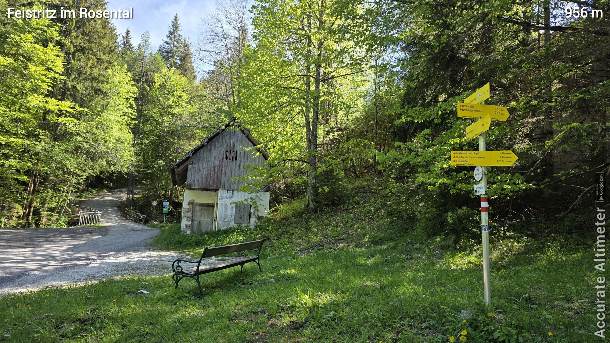
Coming from Klagenfurt or Villach to Feistritz im Rosental, approx. 5 km into the Bärental valley to the Stouhütte hut
None
Parking lot under the Stouhütte
Stop off at the Slovenian Preschernhütte directly below the summit of the Hochstuhl, great panoramic location!
Aktywności na trasie
Feistritz im Rosental, Kärnten/Österreich
09.05.2026 – Wędrówka
Feistritz im Rosental Wandern
29.12.2025 – Wycieczki górskie
Feistritz im Rosental, Carinthia/Austria
06.12.2025 – WędrówkaFeistritz im Rosental Wandern
24.08.2025 – Wycieczki górskieFeistritz im Rosental Wandern
11.08.2025 – Wycieczki górskie
Feistritz im Rosental, Kärnten/Österreich
09.07.2025 – WędrówkaFeistritz im Rosental, Kärnten/Österreich
20.06.2025 – WędrówkaKlagenfurt Hütte Bielschitza Austria Und Slovenya
14.06.2025 – Wędrówka
Popularne wycieczki w okolicy
- 4,2
MTB-Tour zur Klagenfurter Hütte
średniMountainbike 12,6 km - 3,9
Tscheppaschlucht Ferlach
światłoWędrówka 5,90 km - 4,4
Slow Trail Meerauge
światłoWędrówka 5,51 km - 4,3
From Bärental to the Kosiak (Klagenfurter Hut)
średniWędrówka 9,67 km - 4,6
Water experience trail Hainschgraben
średniWędrówka 9,23 km - 4,7
Ogrisalm ab Bodenbauer, Kärnten/Österreich
światłoWycieczka narciarska 11,2 km - 3,9
Singerberg, über die Südseite
średniWędrówka 7,87 km - 4,6
Sinacher Gupf crossing
średniWędrówka 8,32 km - 4,2
Winter hike Singerberg
średniWędrówka zimą 8,36 km - 4,9
Gratschenitzen Kreuz
ciężkiWycieczka wysokogórska 3 km
Wędrówki i tropienie


Nie przegap ofert i inspiracji na następne wakacje
Twój adres e-mail została dodana do listy mailingowej.