







Church circular hiking trail KW1 Straßburg

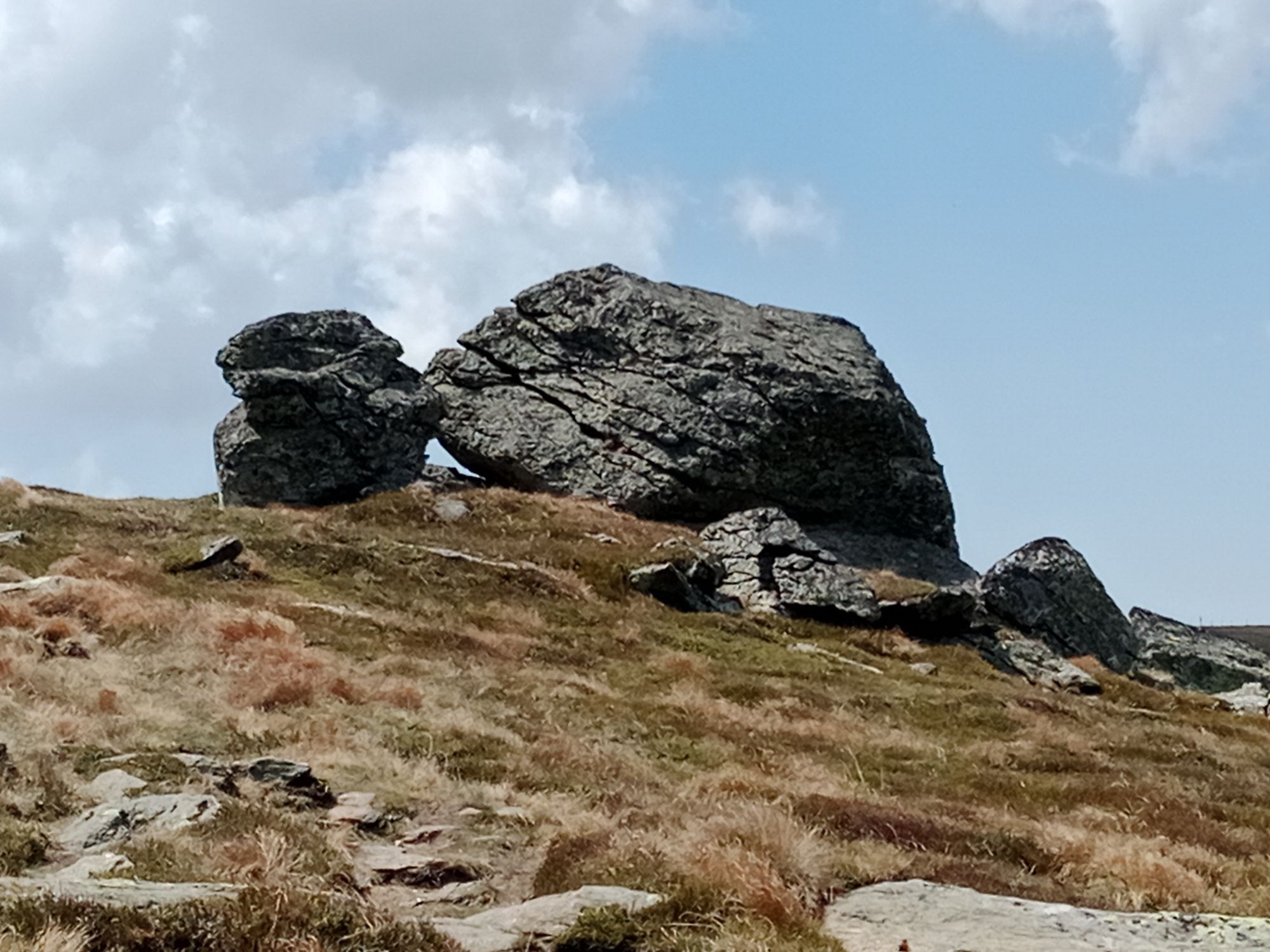
The church circular hiking trail KW1 in Straßburg is a charming route through the picturesque landscape of Carinthia, connecting several historic churches and chapels. The starting point is often the town...
The church circular hiking trail KW1 in Straßburg is a charming route through the picturesque landscape of Carinthia, connecting several historic churches and chapels. The starting point is often the town center of Straßburg. The approximately 7 km long route passes lovingly maintained churches such as the parish church of St. Katharina and the filial church of St. Jakob. Along the way, there are repeated idyllic views of the surrounding nature and the traditional farmsteads of the region. The trail is well signposted and suitable for hikers of all levels who want to combine culture and history with nature experiences.

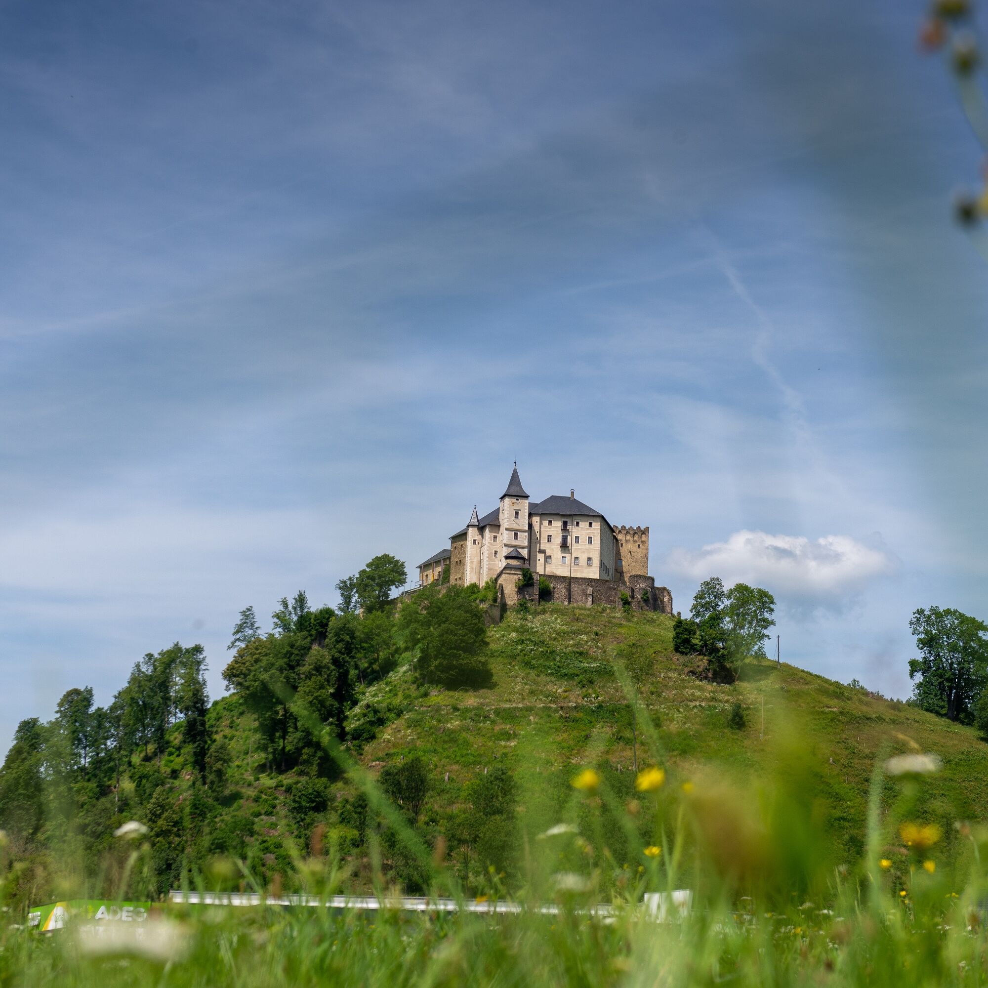
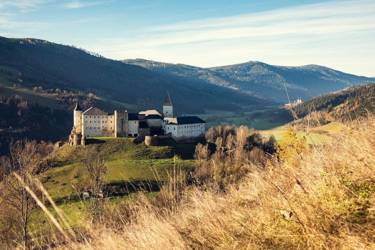

We start our circular hike in front of the impressive parish church of St. Nikolaus, clearly visible near the main square. We follow the old castle path and after a few minutes reach the Maria Loretto Chapel, a sacred building constructed in 1315. From here, there is a more direct route via the Arme-Sünder-Stiege to climb up to the castle.
However, we continue along the old castle path to a crossroads near the former zoo. Here we keep right and, after passing through three castle gates, reach the castle courtyard. For this magnificent fortification, first documented in 1147, you should allow enough time for a visit. The castle chapel dates from the 12th century. From the restaurant terrace, there is a wonderful view over the smallest town in Carinthia, to the Saualpe in the east and the towers of Gurk Cathedral in the west.
Our path leads us back again to the well-known crossroads and we go down the new Schlossstraße into the district of Lieding. At the first street intersection, we keep right and then pass by the outdoor pool, then go uphill to the Lieding Church. The church was founded in 975 by Countess Imma (probably the grandmother of Saint Hemma) and is therefore one of the oldest parishes in Carinthia.
Now we go down to the Holy Spirit Church, a sacred building from the 14th century, which we reach in 15 minutes. A short stretch along the main road, then turning into Bahnstraße, we cross the Gurk on a wooden bridge. We pass a firewood storage area on the left and follow a path along the edge of the forest. Crossing Gunzenbergstraße, we continue on a forest path until we reach St. Stefan Church. This church was first mentioned in 1208.
In a few minutes, we take an asphalt road back to the village, to our starting point.
Tak
Comfortable footwear
Hiking trail signs labeled KW1
Risk of slipping on the Arme-Sünder-Stiege variant when wet
see route planner
see Oebb route planner
Parking facilities at the main square
available at the next tourist information office
Parish church - high altar and organ
Lieding Church - one of the oldest churches in Carinthia

Popularne wycieczki w okolicy
-
4,8
Abenteuer-Wasser-Weg
średniWędrówka 9,13 km -
4,4
Certified hiking trail: Guttaring - Mariahilferweg - permanent IVV hiking trail
średniWędrówka 11,2 km -
3,7
Kunstwanderweg rund um den Längsee (1)
światłoWędrówka 5,43 km -
4,6
Höhenweg Scharfes Eck
średniWędrówka 6,18 km -
4,1
Schloss Frauenstein - Kraiger lake circular route
średniWędrówka 6,96 km -
4,1
Althofen Wald Ausichtsweg
światłoWędrówka 3,94 km -
4,5
Castle Hiking Trail Friesach
światłoWędrówka 5,21 km -
4,7
Through the Wolschart Forest (8)
średniWędrówka 9,98 km -
4,7
Höhenweg Scharfes-Eck vom Grebenzenhaus
średniWędrówka 10,6 km -
3,5
Schaumboden-Dreifaltigkeit circular route
ciężkiWędrówka 13,4 km
Wędrówki i tropienie


Nie przegap ofert i inspiracji na następne wakacje
Twój adres e-mail została dodana do listy mailingowej.





