







Circular hike in Flattach
The hike takes you along the Flattach community bike path along the Möll towards Außerfragant and back to the village.
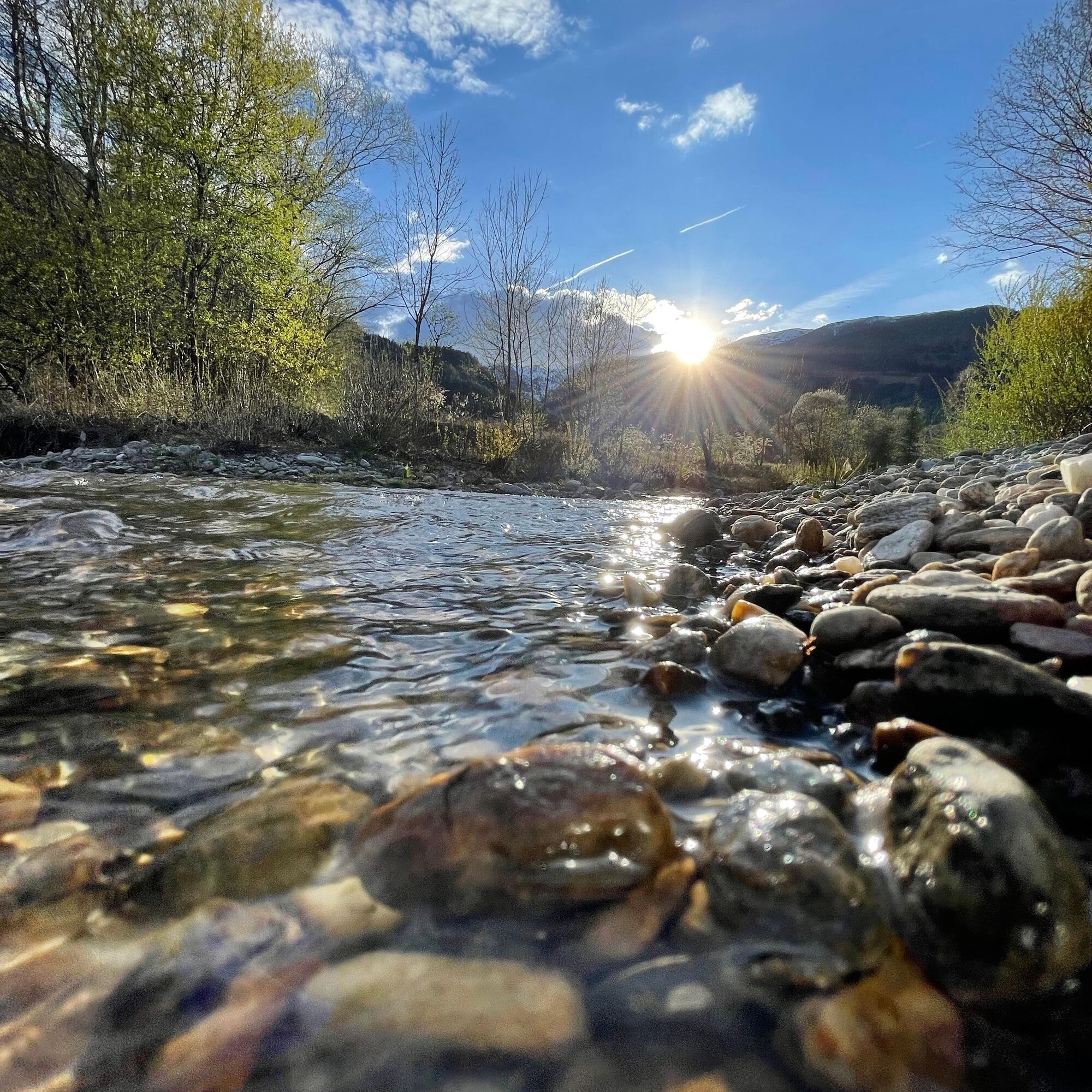
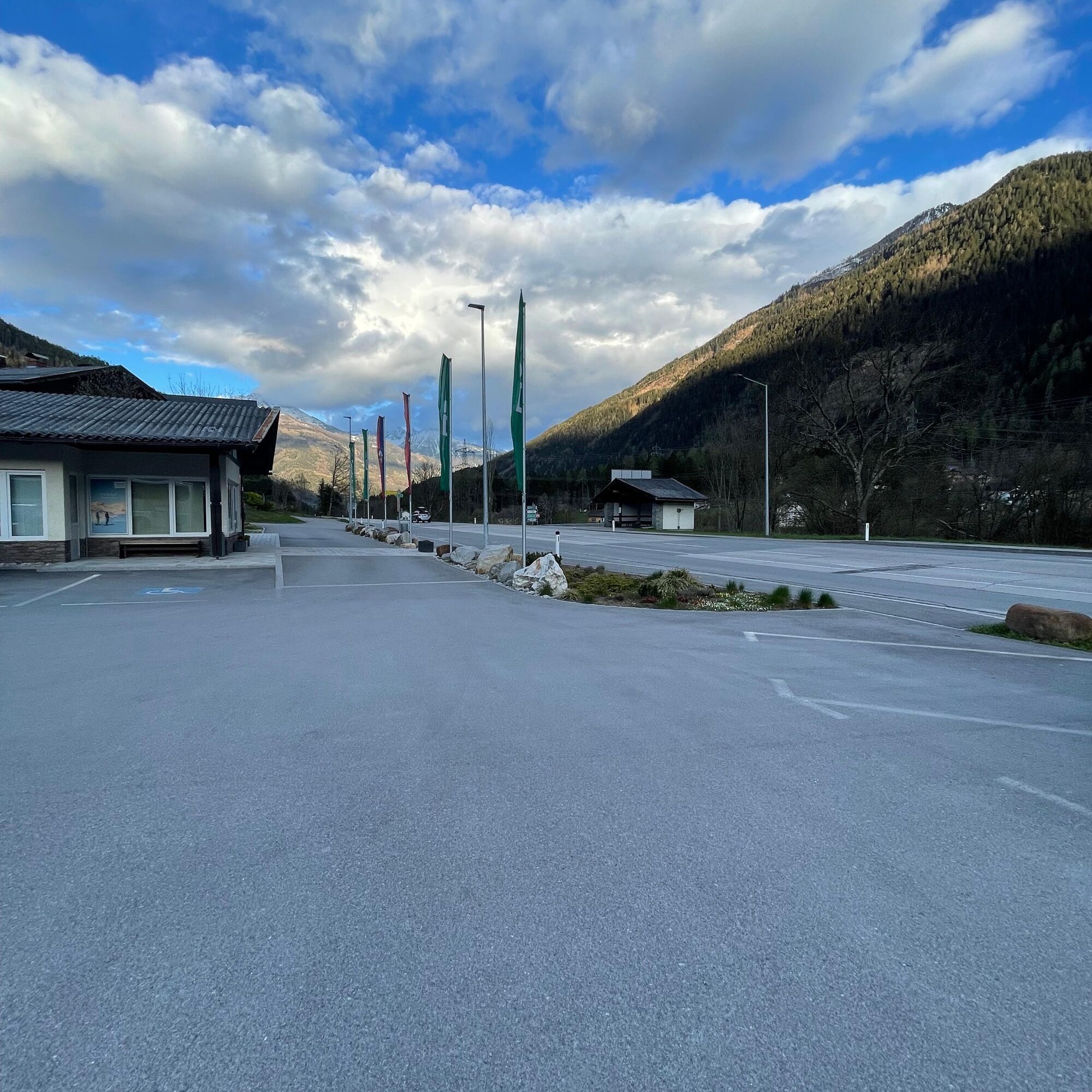
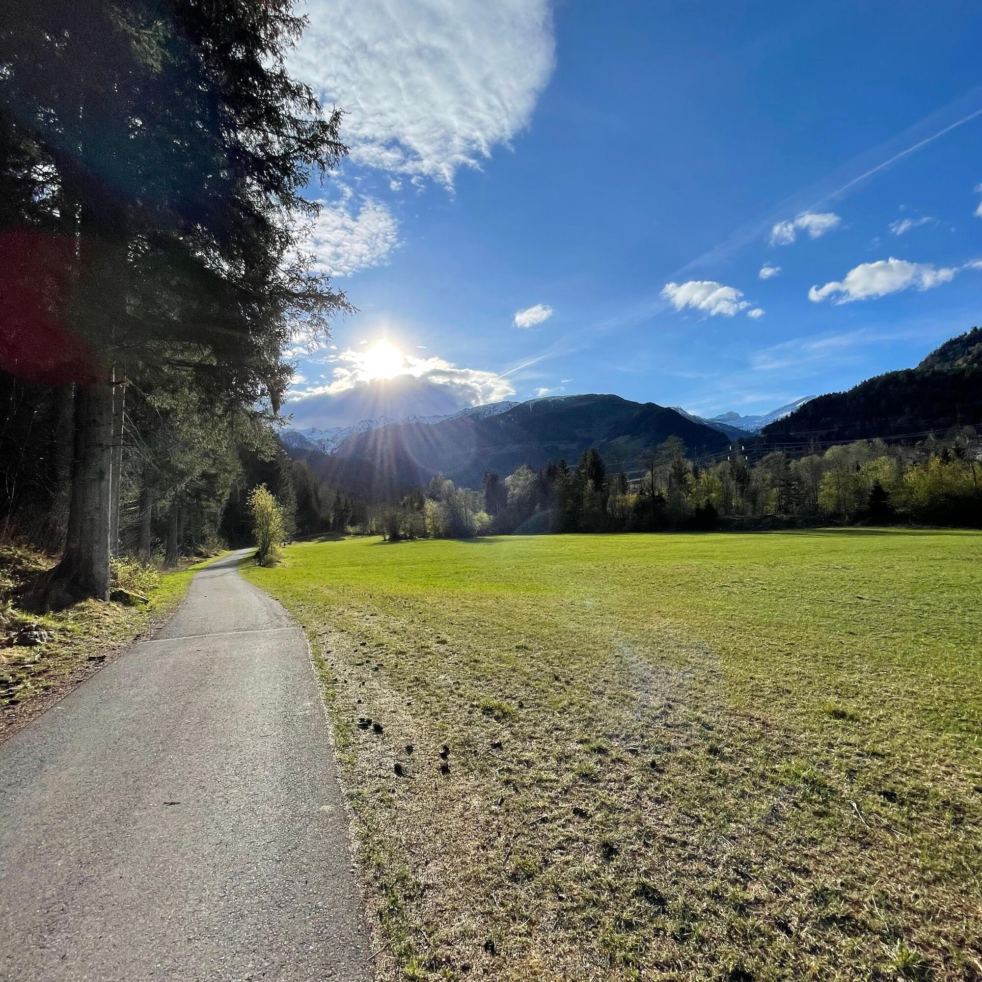
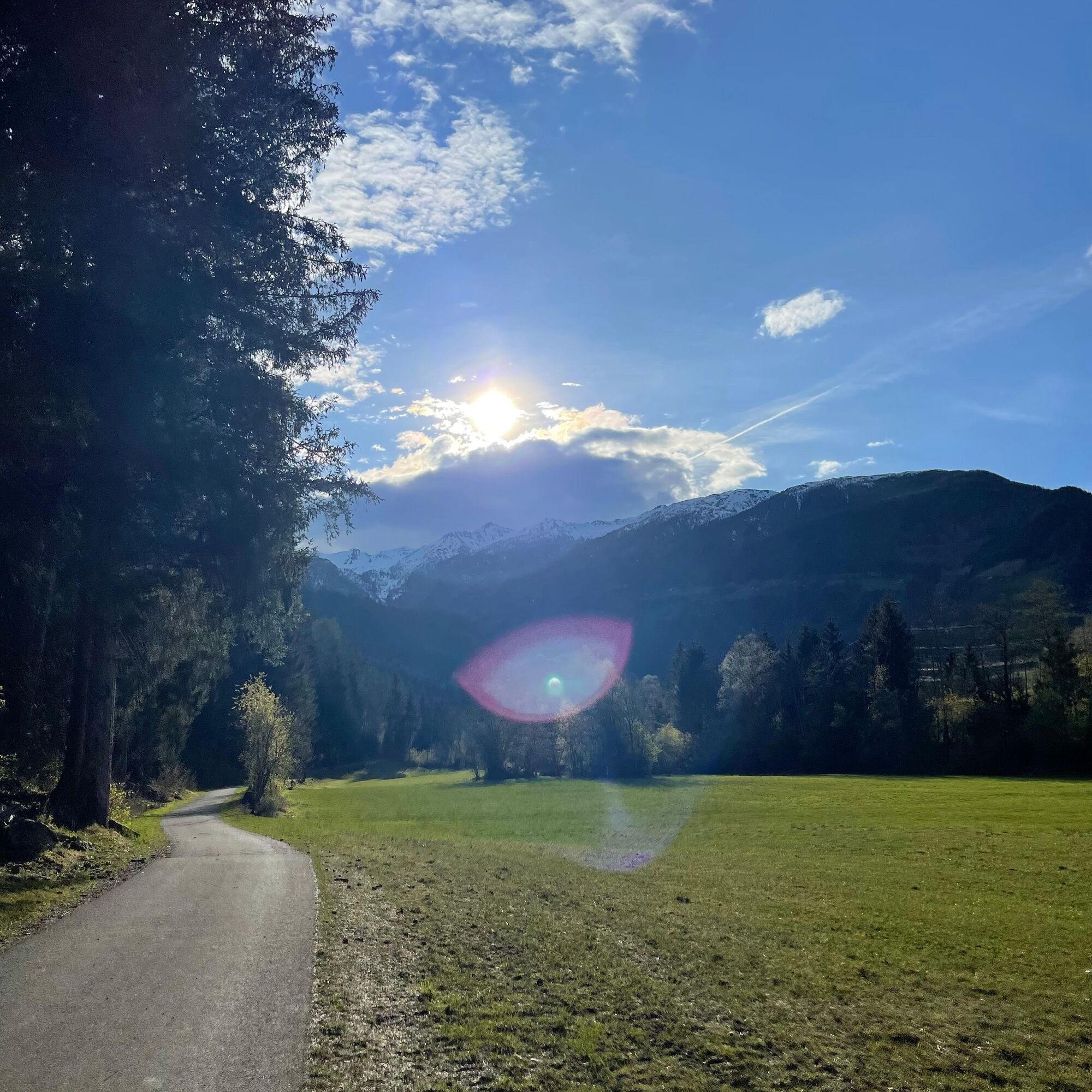
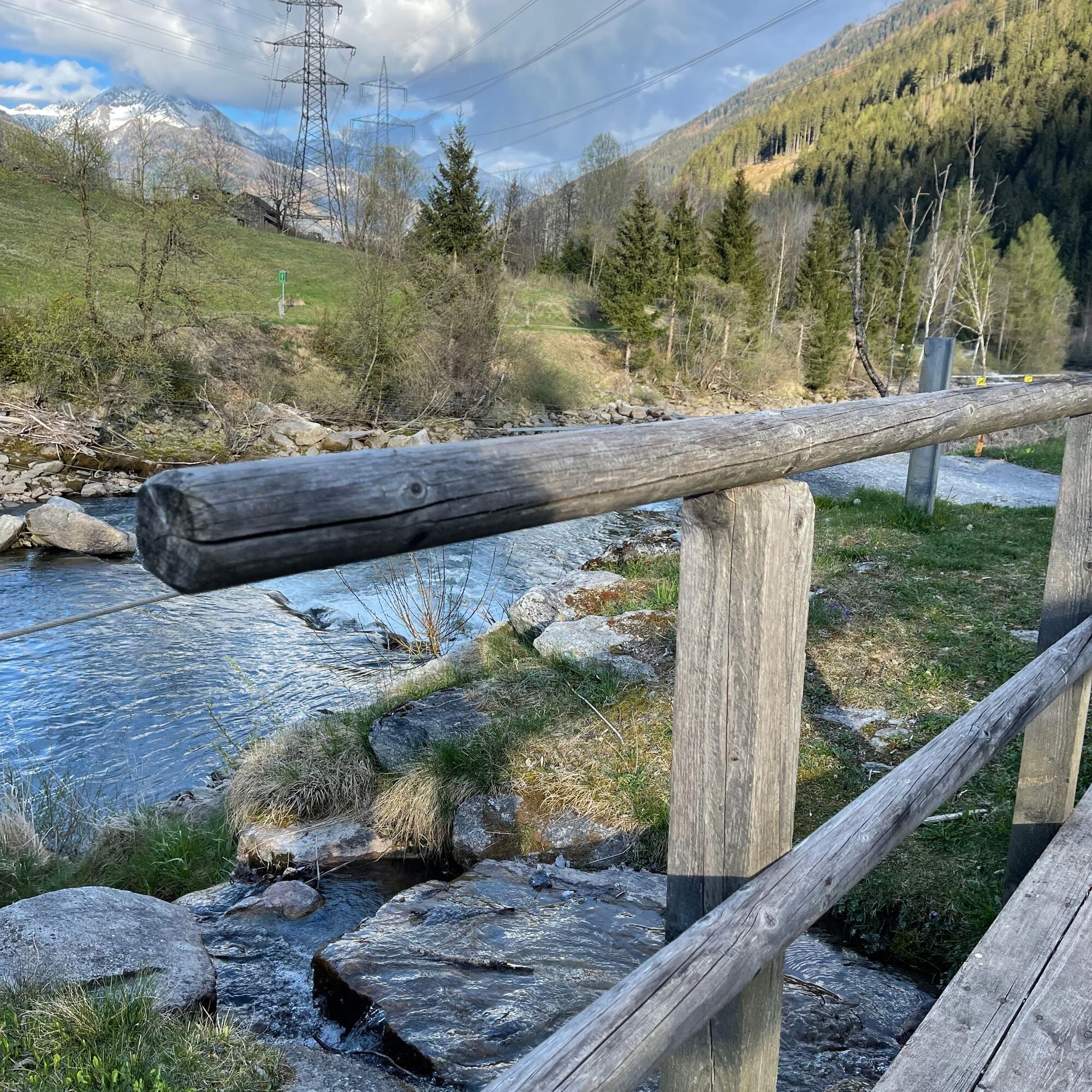
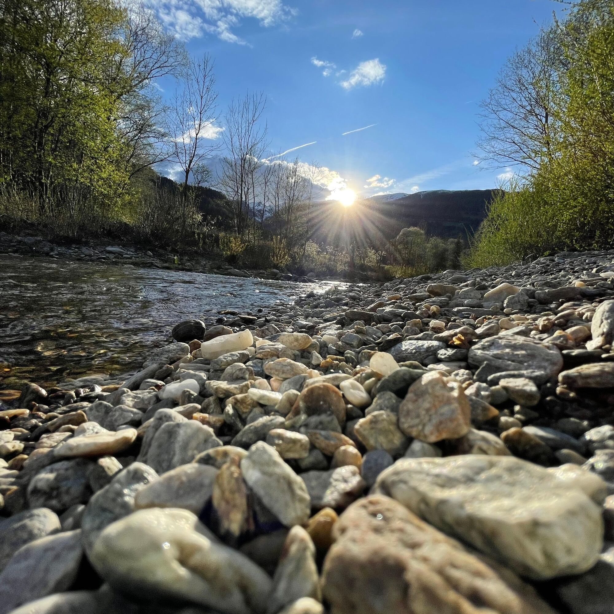
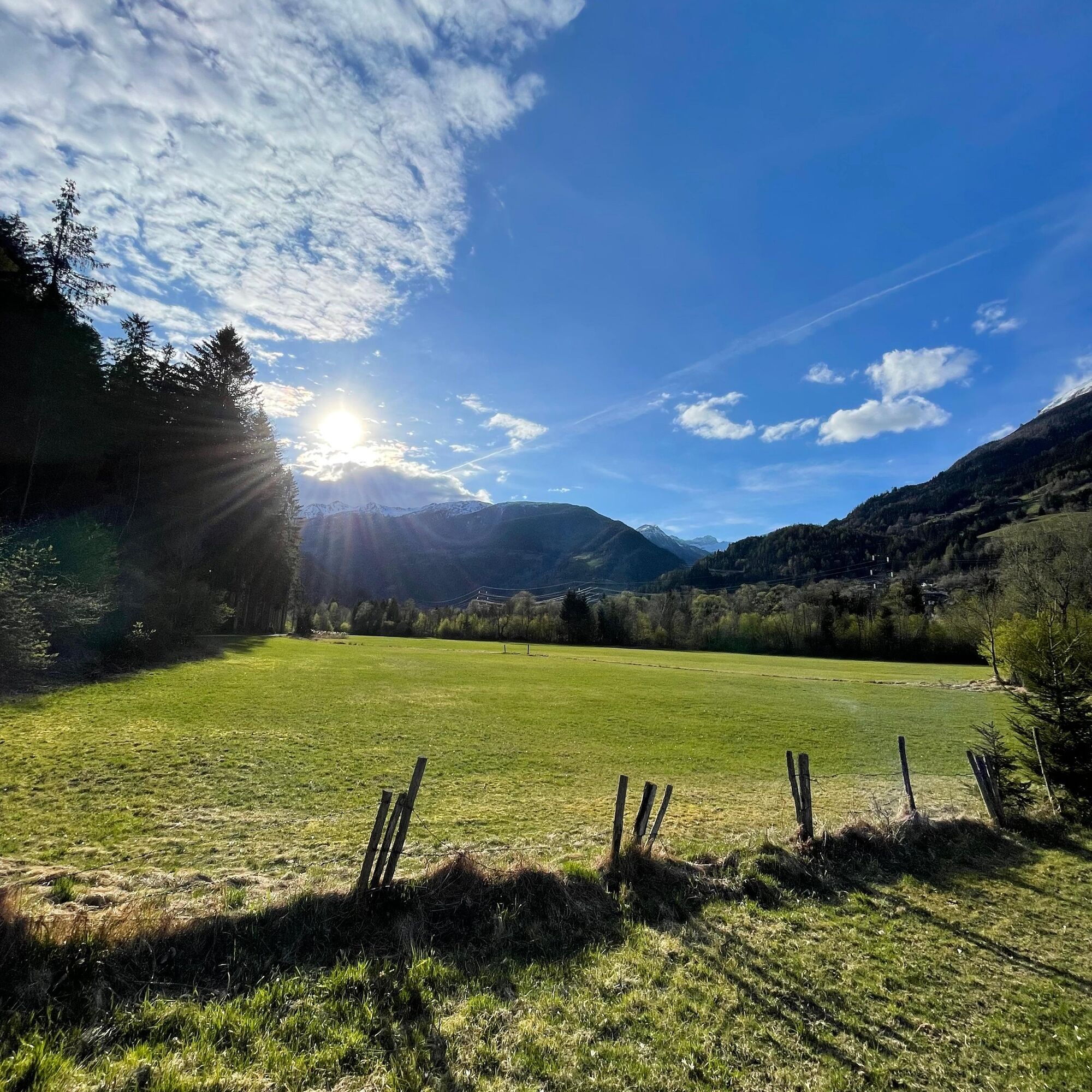
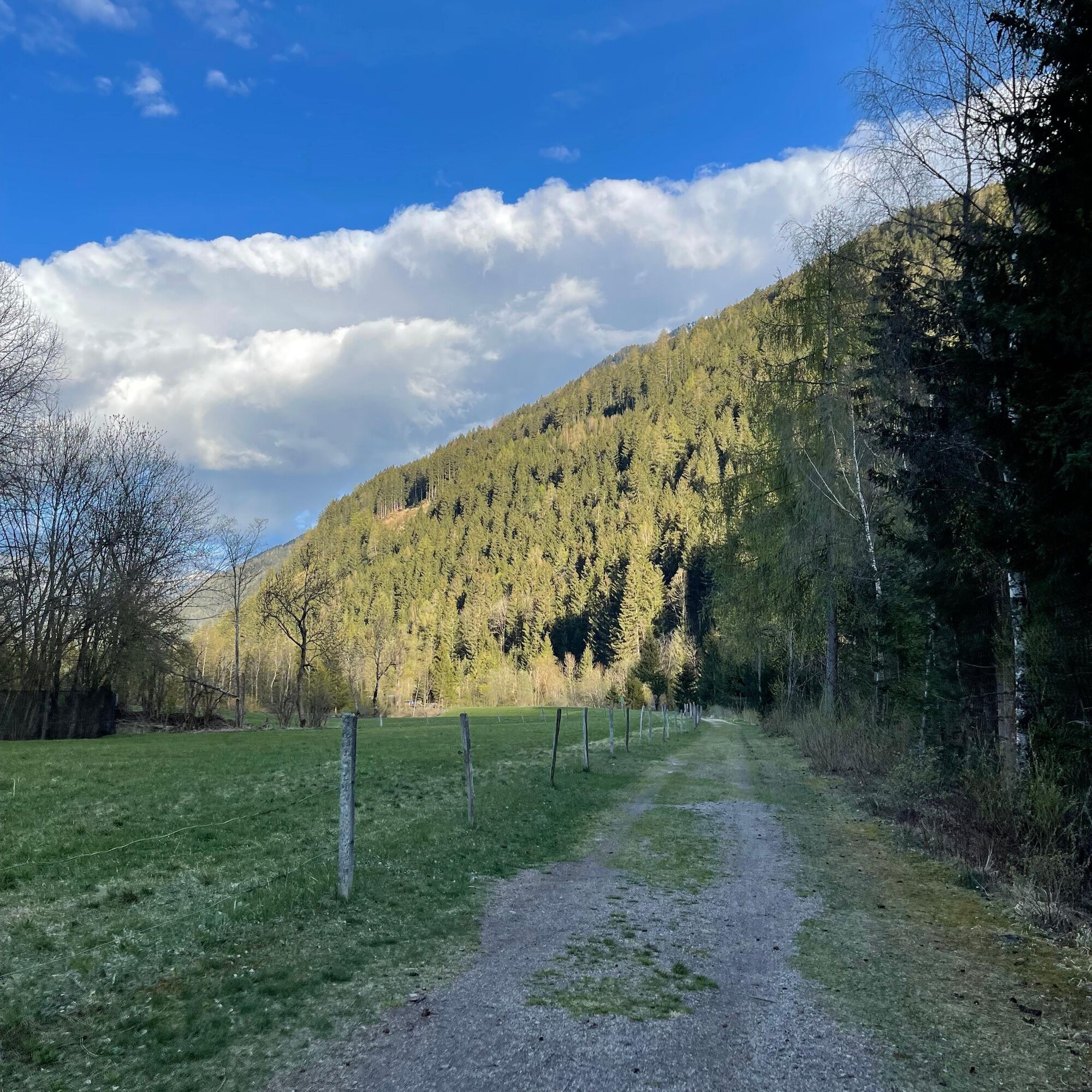
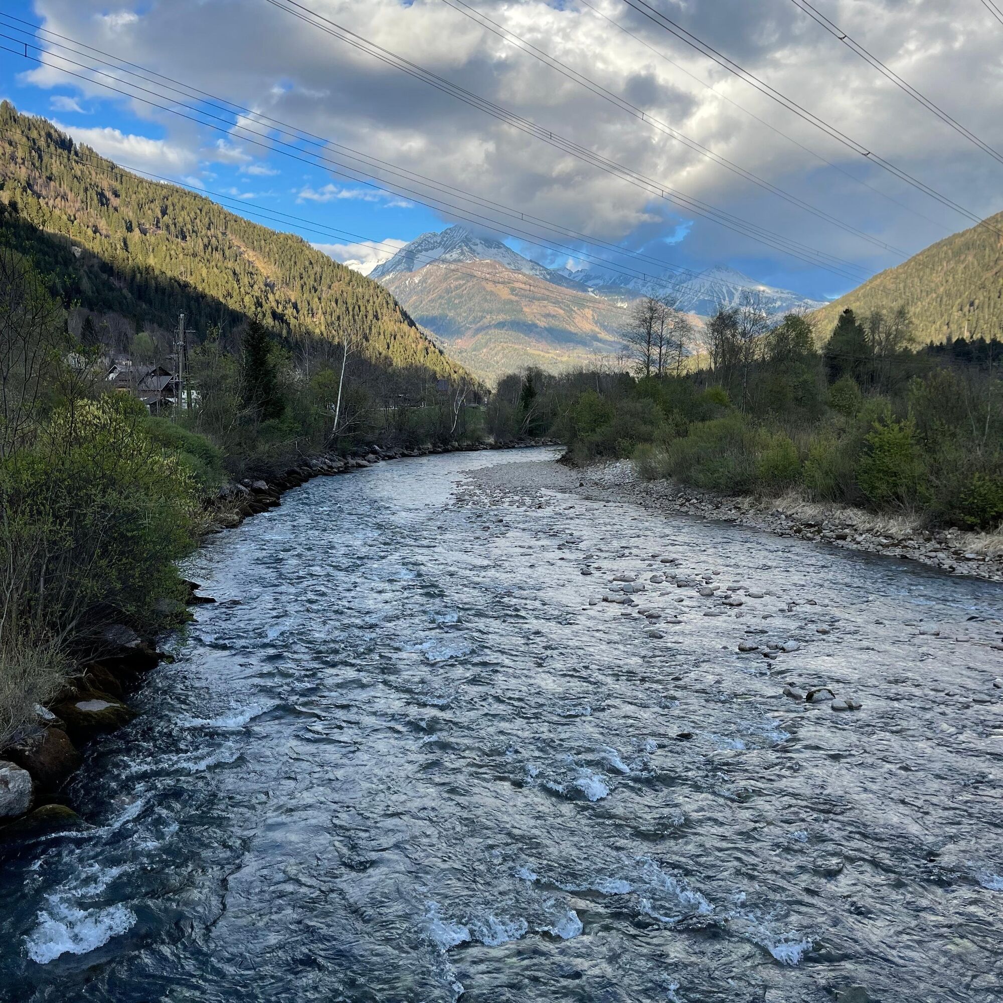
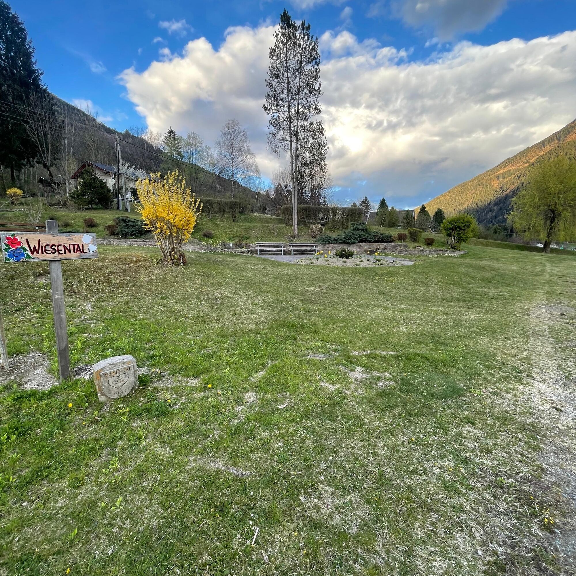

The hike takes you along the Flattach community bike path from the tourism office initially in the direction of Raggaschlucht, cross the bridge and keep right. You walk along the Möll valley upwards (almost no elevation gain) to the whitewater arena, cross the bridge again, and then head back towards the tourism office along the fitness trail. This part is a dirt road that runs alongside the Möll. The last section leads you through the community of Flattach, past the Hotel Flattacher Hof and the Cafe Greissler. Next to the path, there is also a large playground where the little hikers can play freely. Afterwards, it continues back to your start and end point at the tourism office.
Tak
Tak
It is recommended to wear comfortable, good footwear and warm clothing on shady days.
No safety instructions necessary.
Motorway A10 – coming from Villach/Italy
Via the Spittal/Millstättersee junction to the Lendorf exit, then via B100 to the exit towards Mölltal, and via B106 to Flattach to the tourism office.
Federal road B106 – coming from Lienz
Via B107 to Winklern, then turn right onto B106, continue on B106 to Flattach to the tourism office.
Arrival by train to Mallnitz-Obervellach station. From there, continue by bus to the "Raggaschlucht" bus stop in the municipality of Flattach.
Timetables for bus & train (ÖBB, Postbus and Kärntner Linien) can be found at the Scotty-ÖBB timetable information.
Adequate free parking is available.
Along the route, there are also some dining options, and at the end of the circular hike, a spacious playground for the little ones.
Gasthof Raggaschlucht (open from early May to early October)
Cafe Greissler (closed Monday & Tuesday)
Very nice, quiet walk. Fine asphalt path with some gravel and dirt sections, which are easy to walk with a stroller.

Kamery internetowe z trasy
Uzyskaj wgląd
Zawsze na żywo z ponad 9 500 kamer internetowych. bergfex Jako użytkownik Pro, możesz teraz zobaczyć odpowiednie kamery internetowe dla wielu wycieczek w aplikacji wycieczki od. Pozwala to na bezpośredni podgląd aktualnych warunków.
Popularne wycieczki w okolicy
-
4,5
Groppenstein Gorge Obervellach
średniWędrówka 2,99 km -
4,9
Wanderung zur Schwussner Hütte
światłoWędrówka 8,07 km -
4,0
Raggaschlucht
średniWędrówka 3,44 km -
4,5
Arthur von Schmidhaus
średniWędrówka 6,36 km -
4,9
Schareck über Ostgrat
ciężkiWycieczka wysokogórska 13,3 km -
4,7
Teuchlspitz
średniWędrówka 10,8 km -
4,6
Vorderer Geißelkopf
średniWycieczka wysokogórska 19,1 km -
4,2
The Glockner cycle route R8
średniJazda na rowerze 89,7 km -
5,0
Hagener Hütte am Mallnitzer Tauern
światłoWędrówka 11,9 km -
4,8
Astental: Mohar, Moharkreuz
średniWędrówka 9 km
Wędrówki i tropienie


Nie przegap ofert i inspiracji na następne wakacje
Twój adres e-mail została dodana do listy mailingowej.





