







Gail hike Maria Luggau to Obertilliach

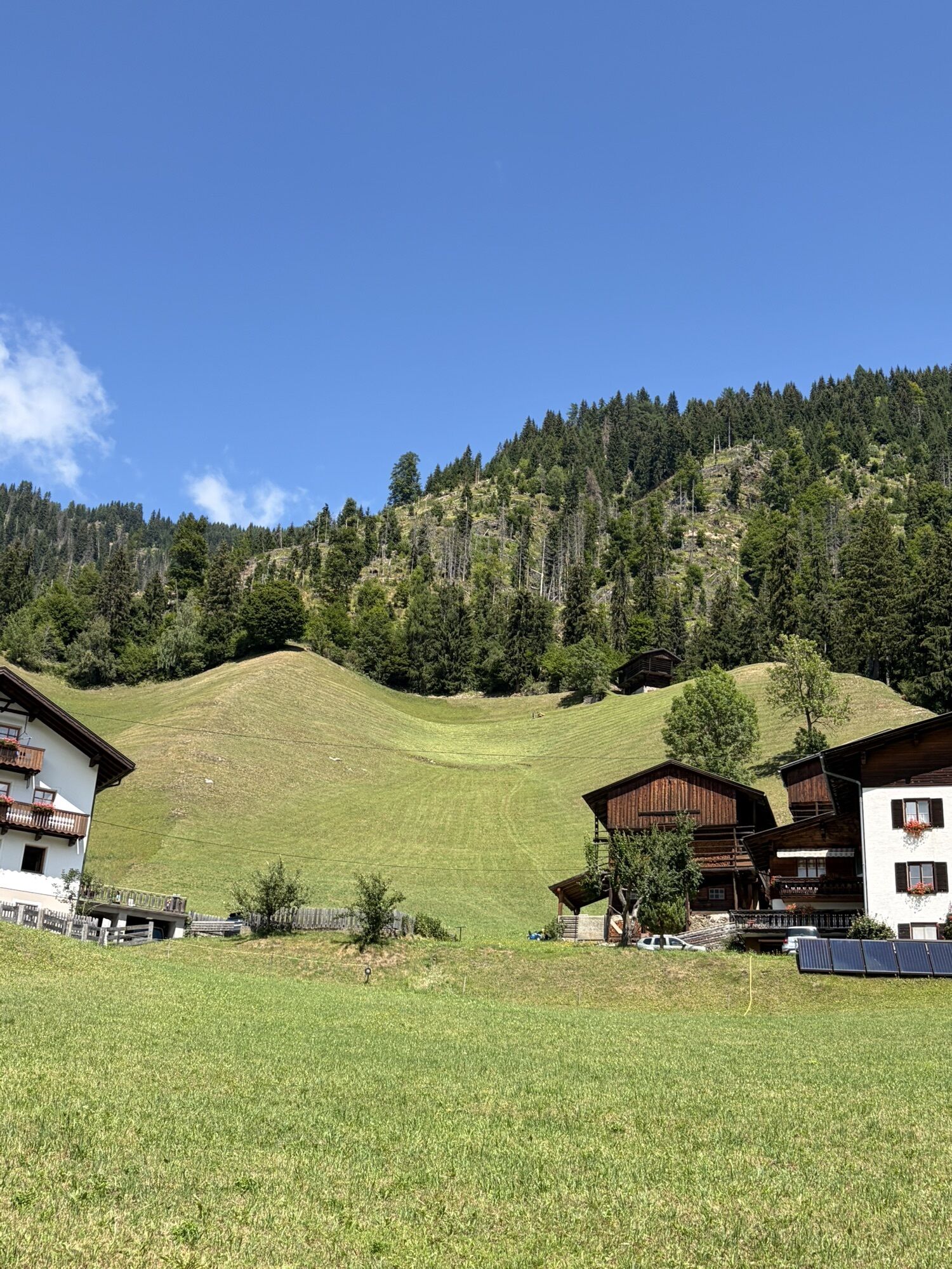
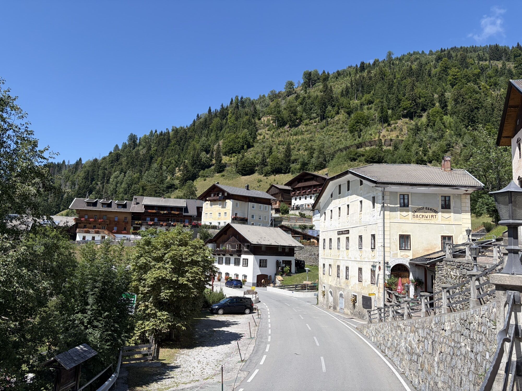
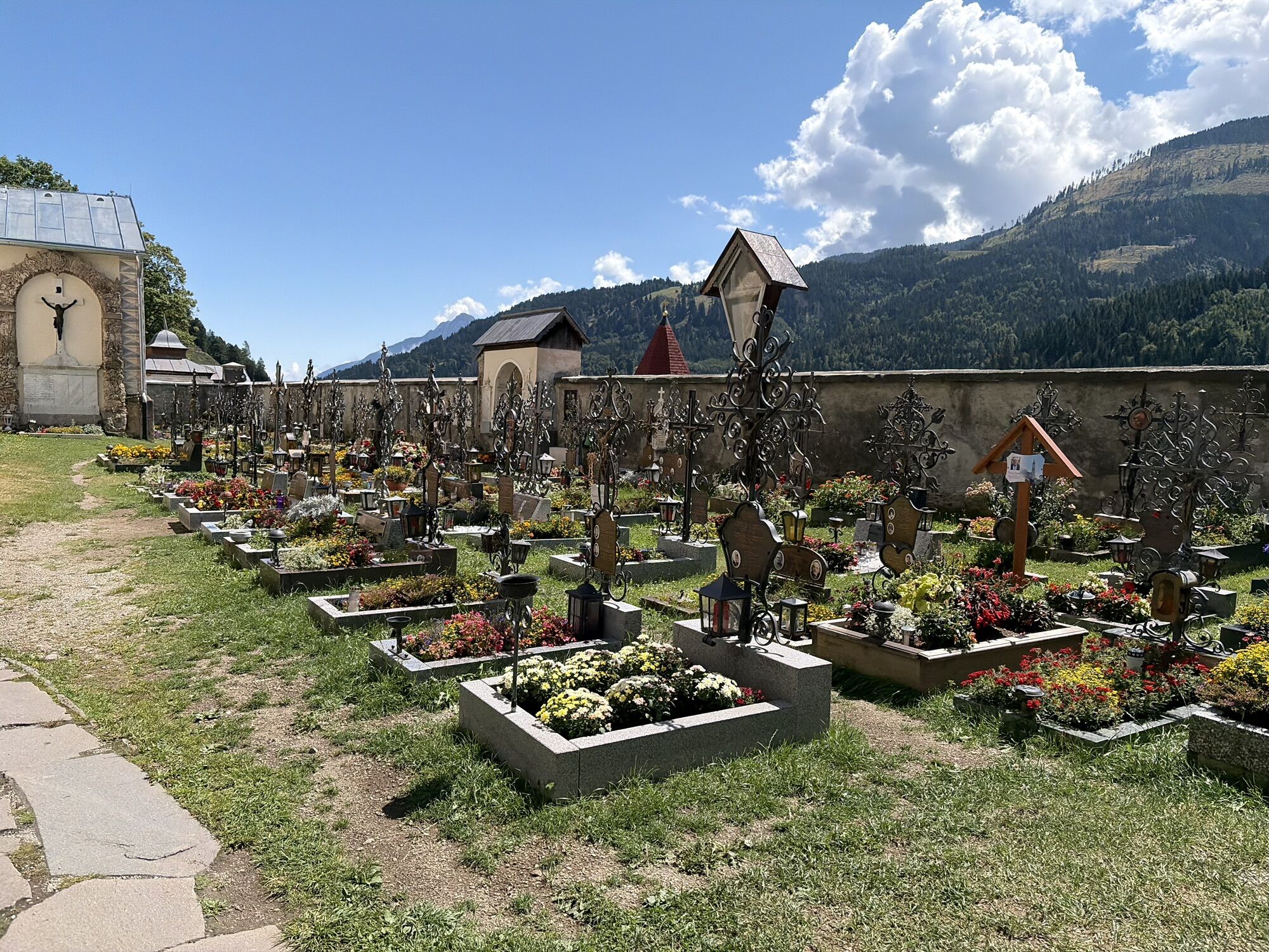
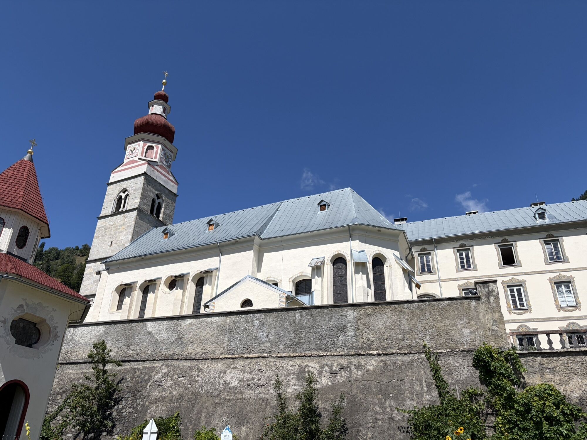
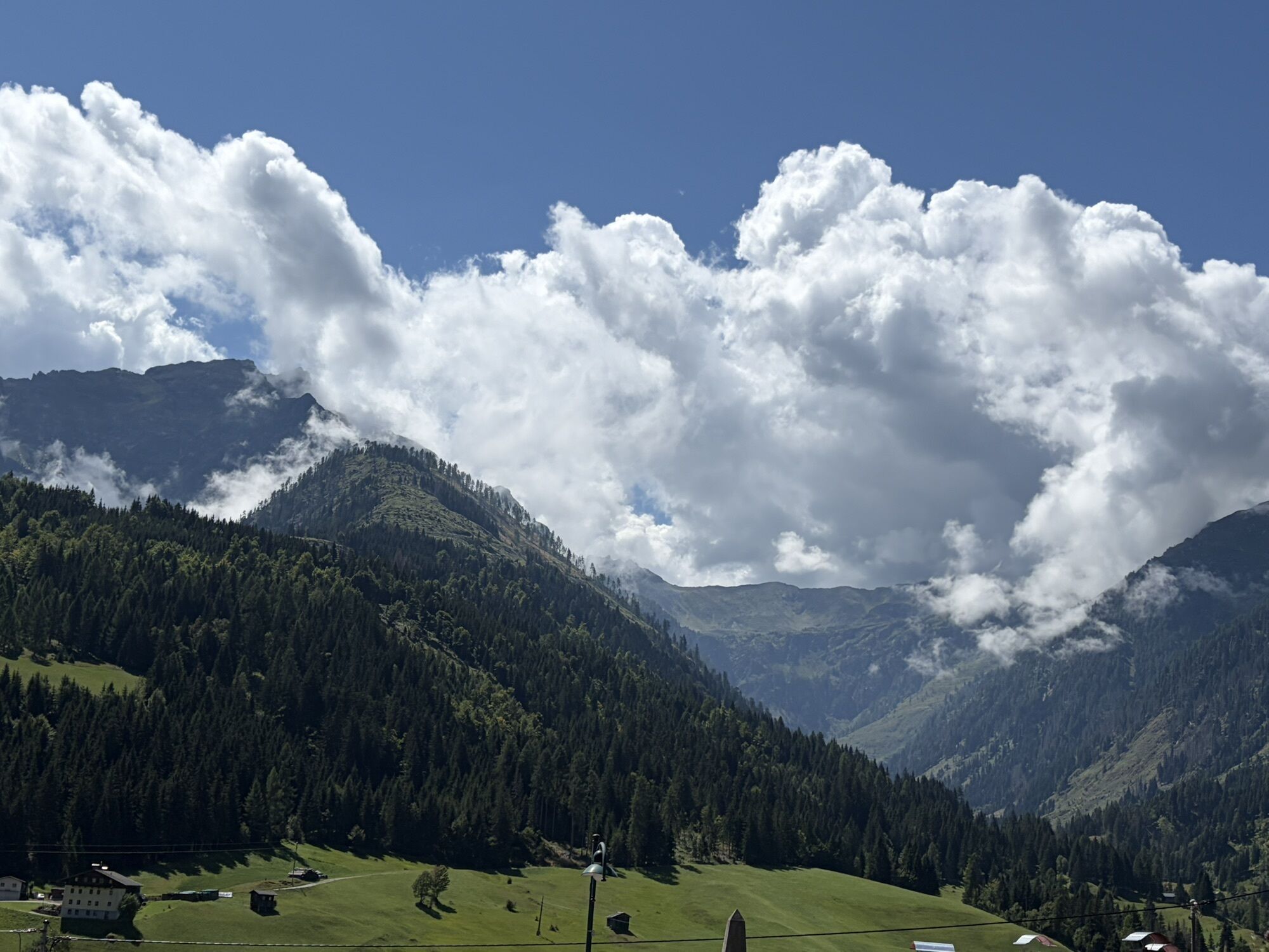
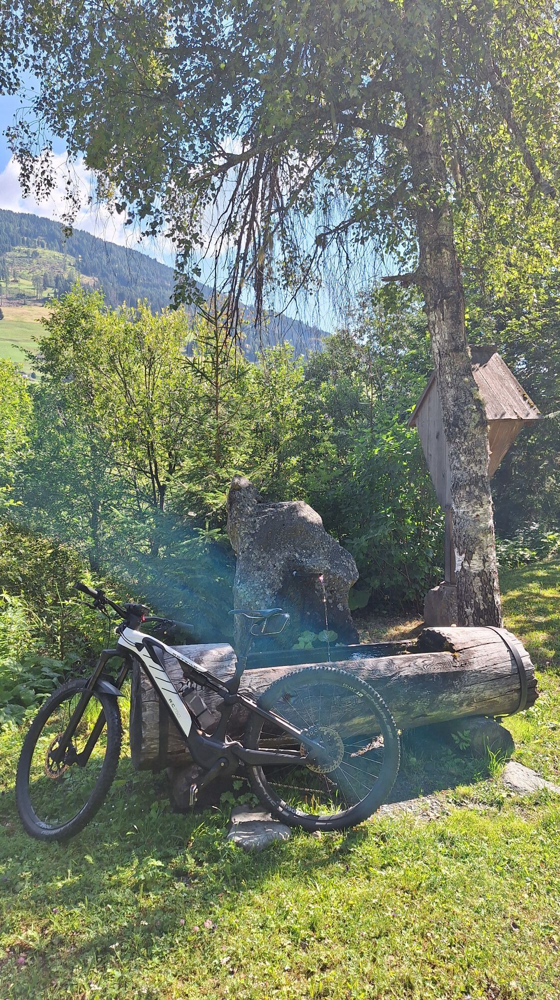
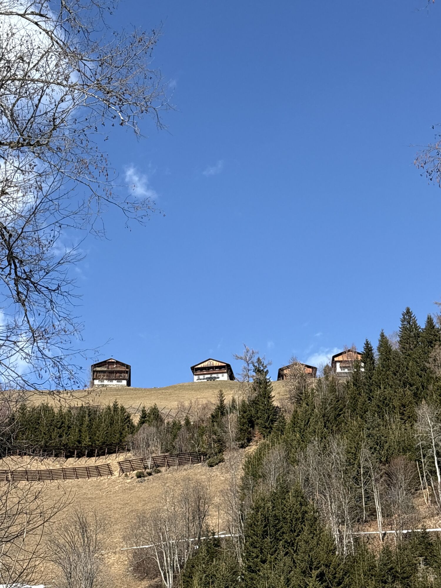
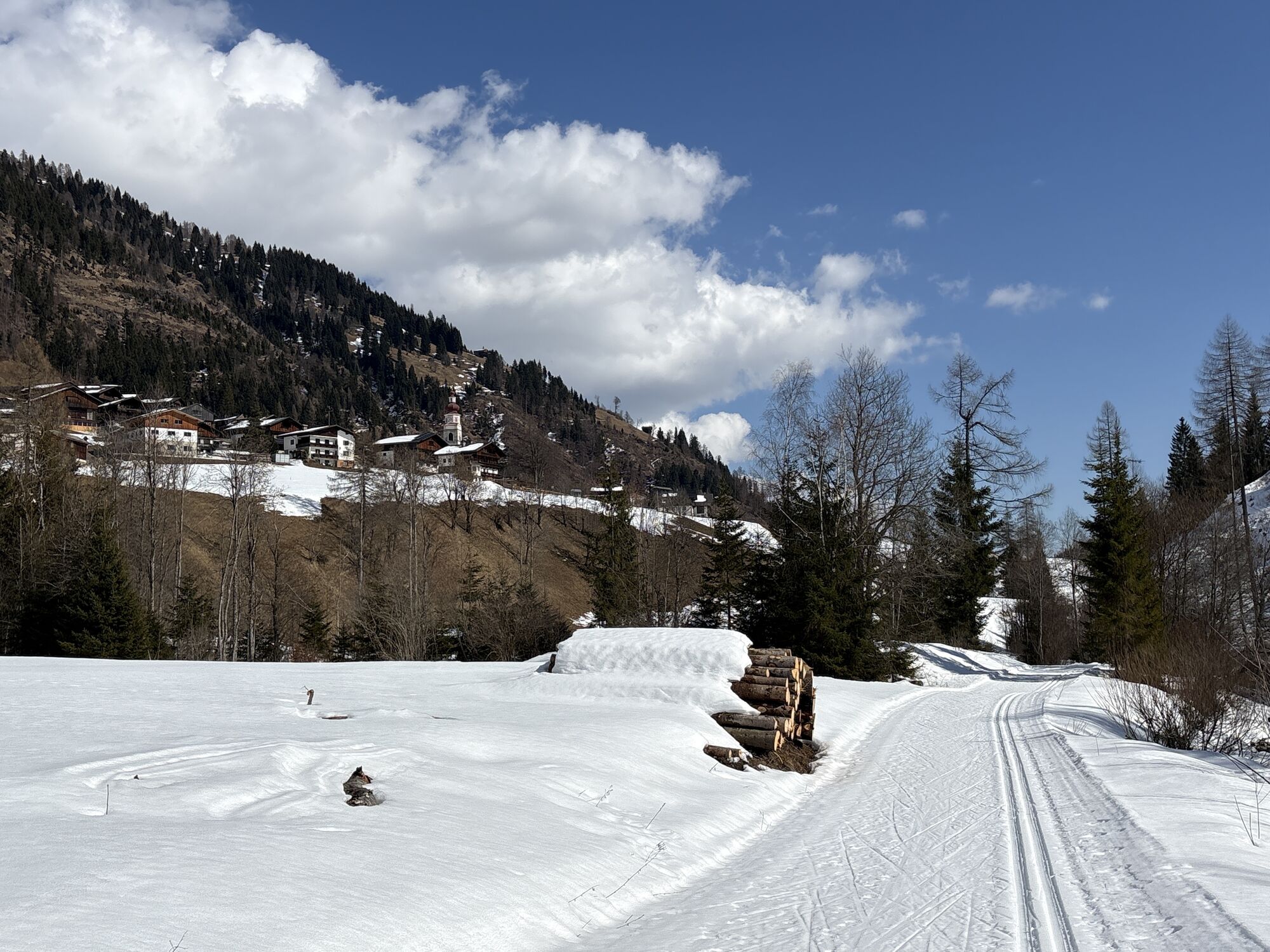
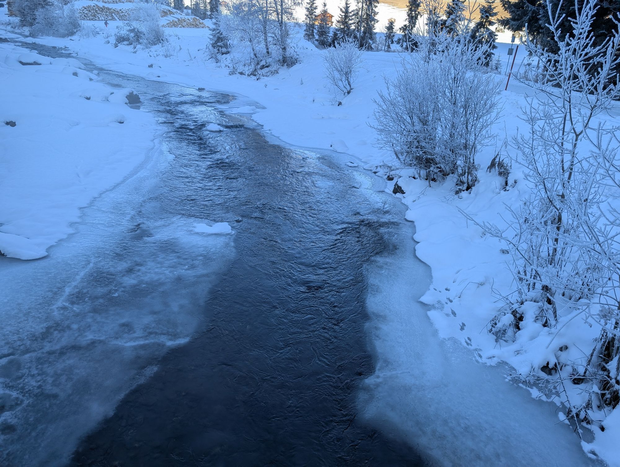
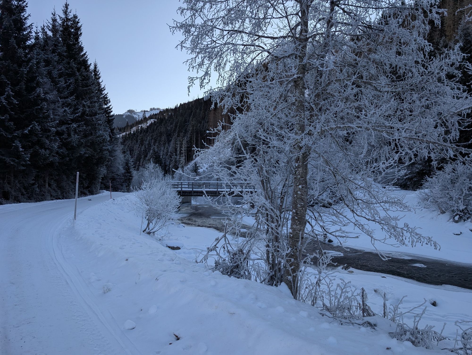
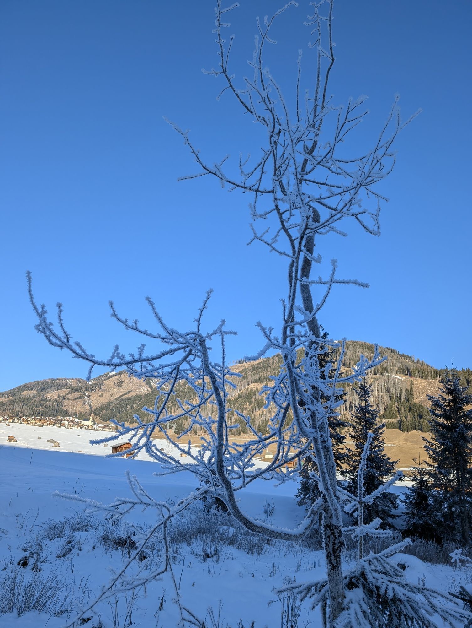


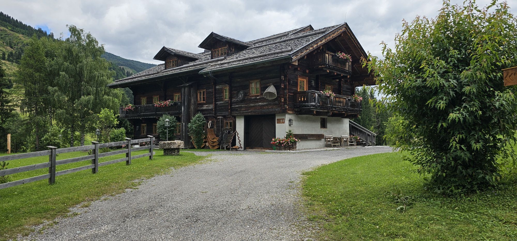
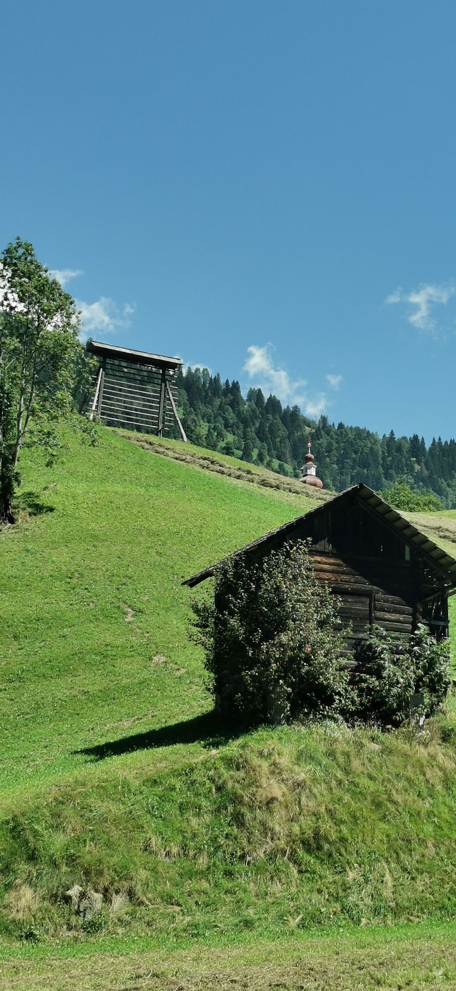
This hike starts at the Bäckwirt in Maria Luggau (below the basilica) and first leads down to the Gail. At the Rauter bridge, turn right onto the paved road up to the B111. Then follow the B111 past the...
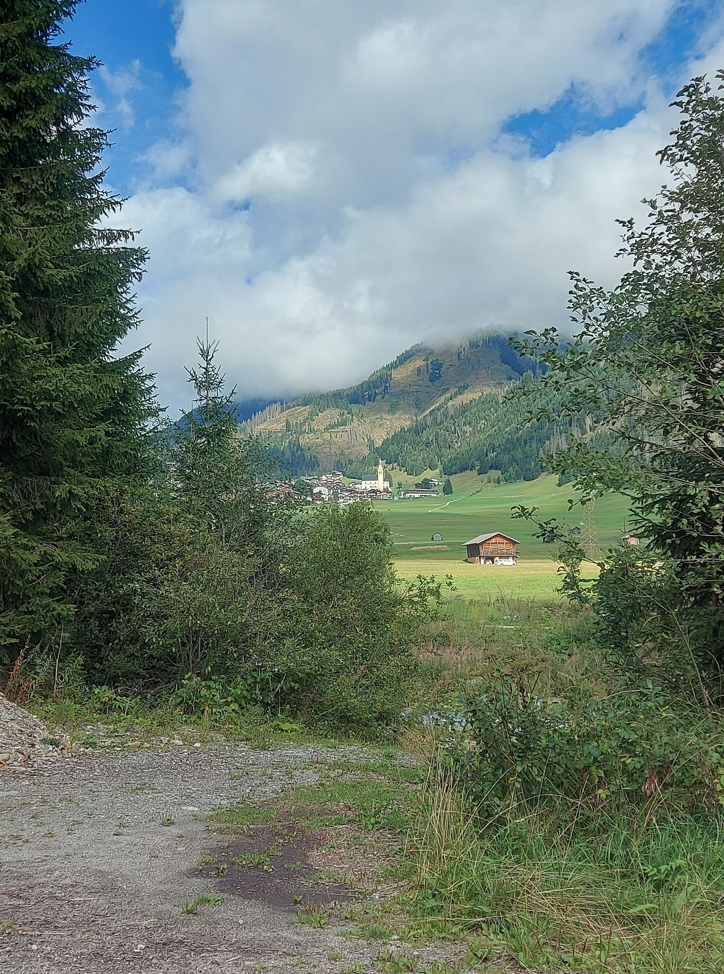
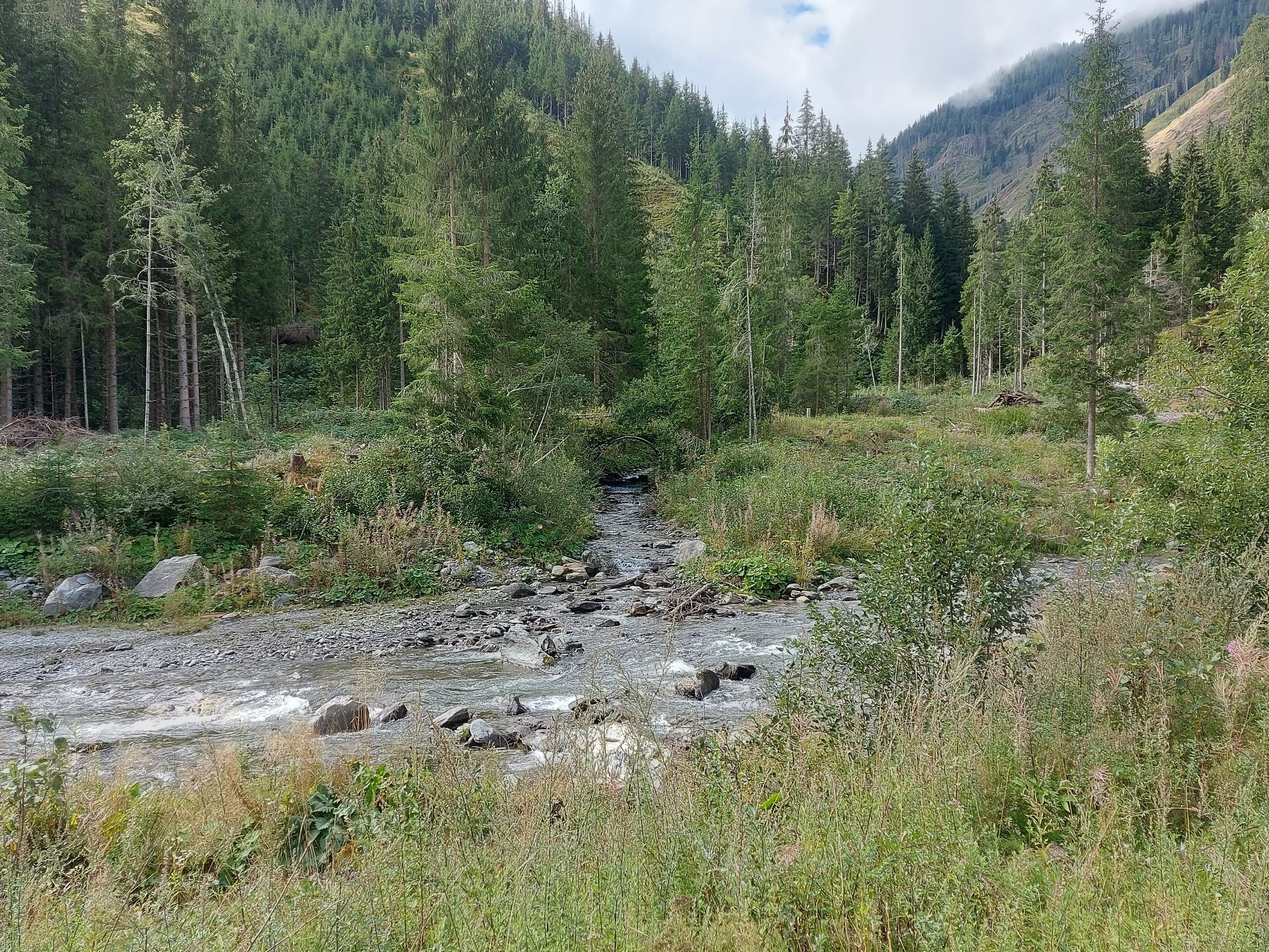
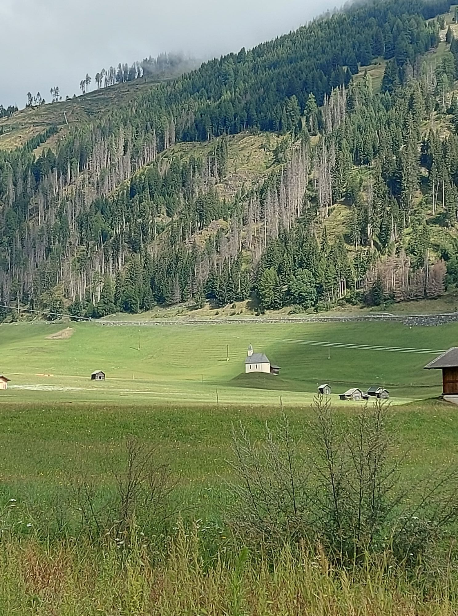
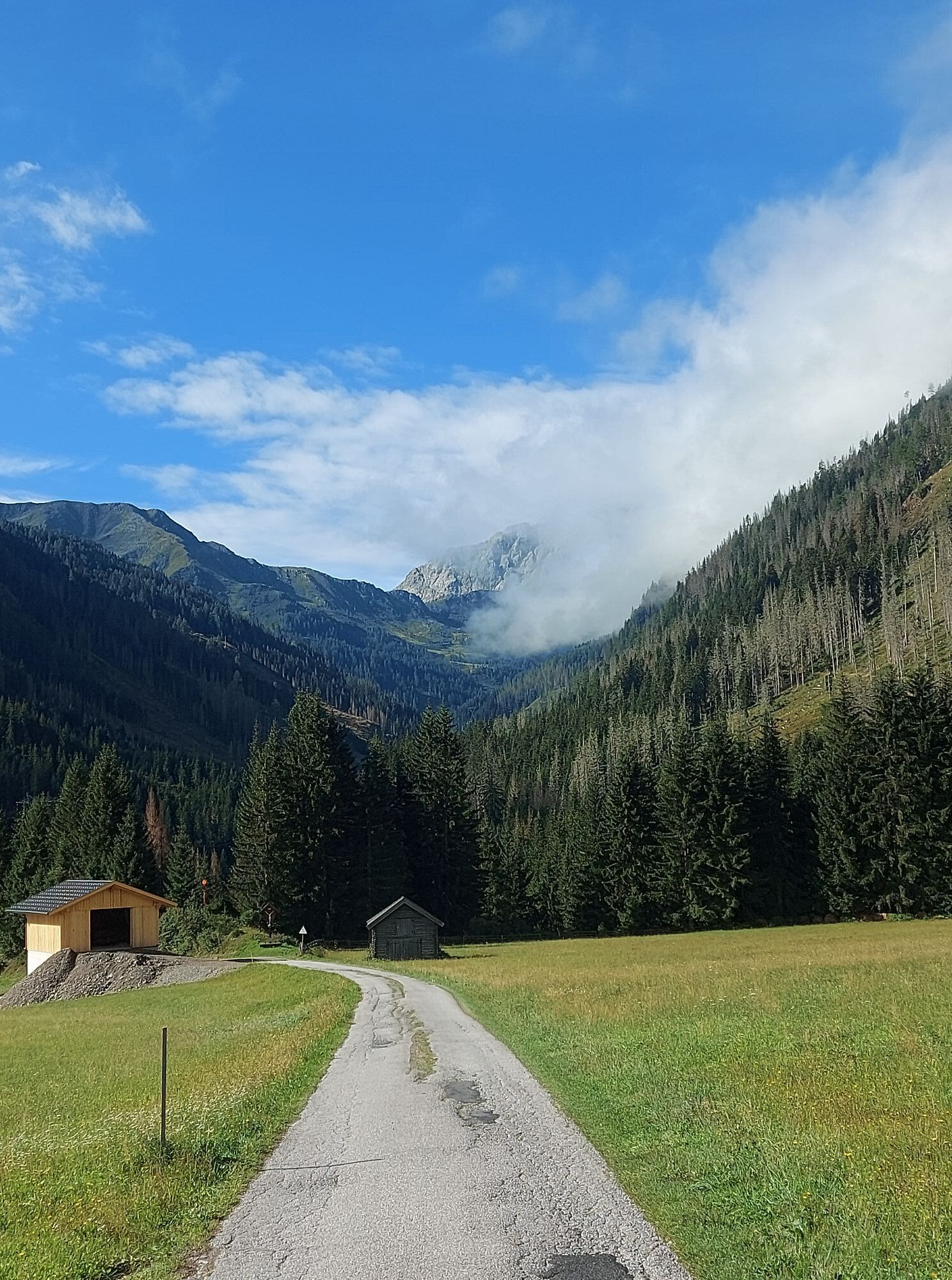
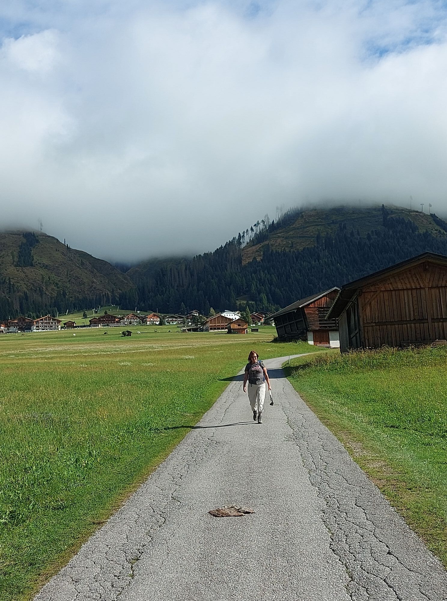
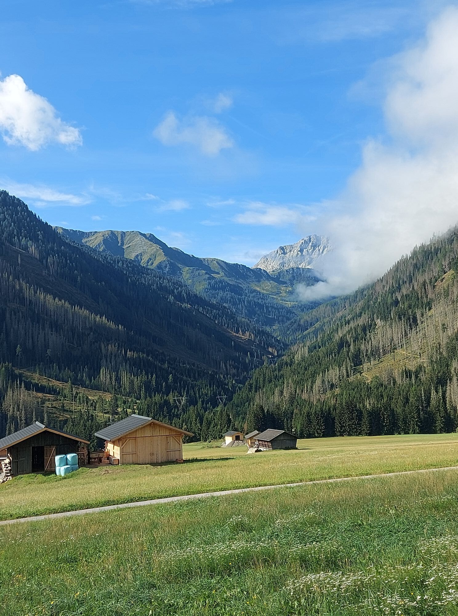
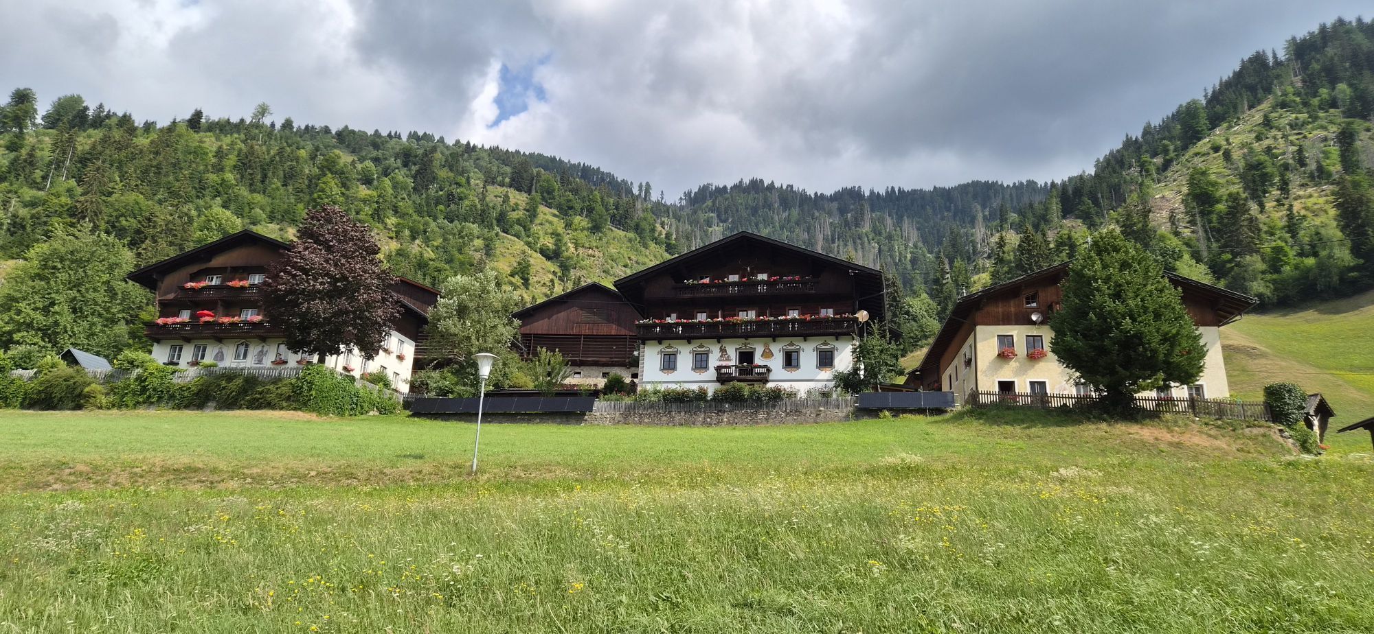
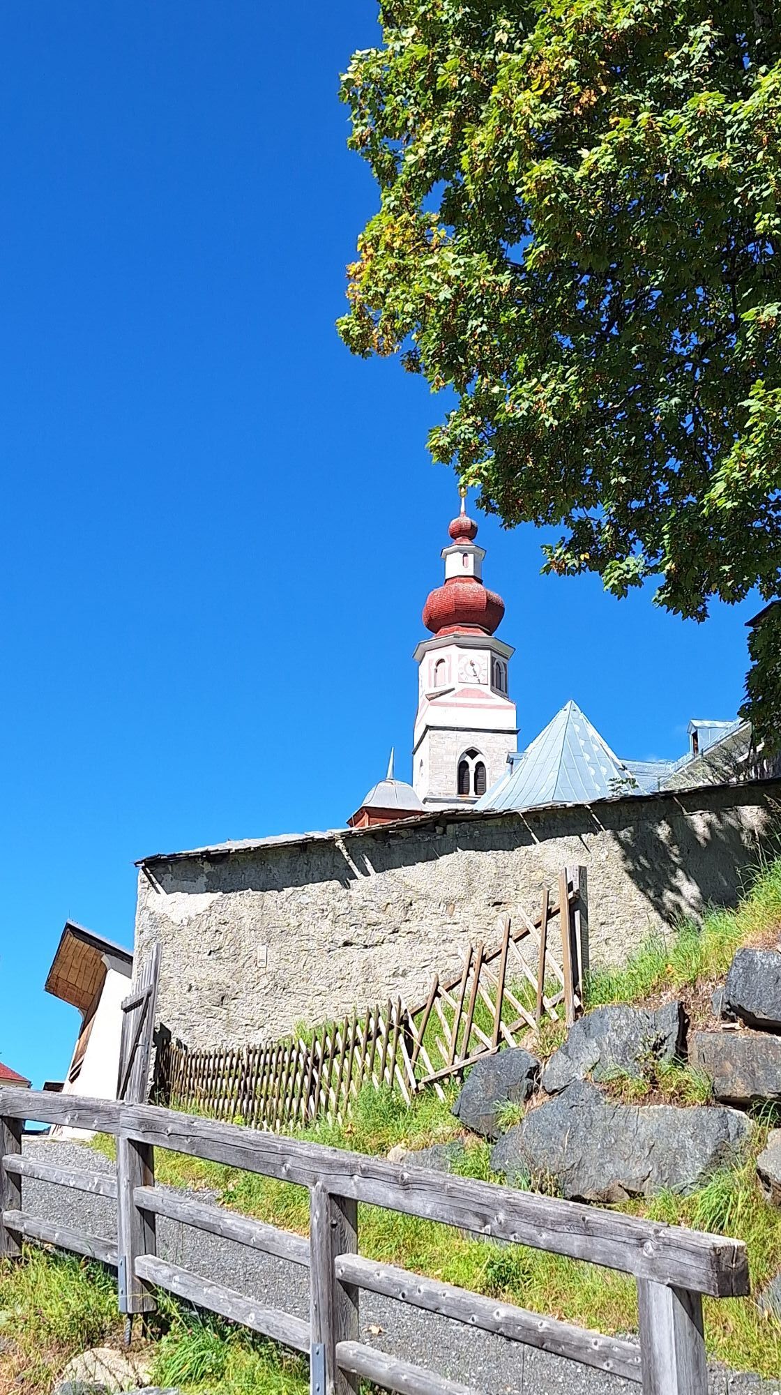
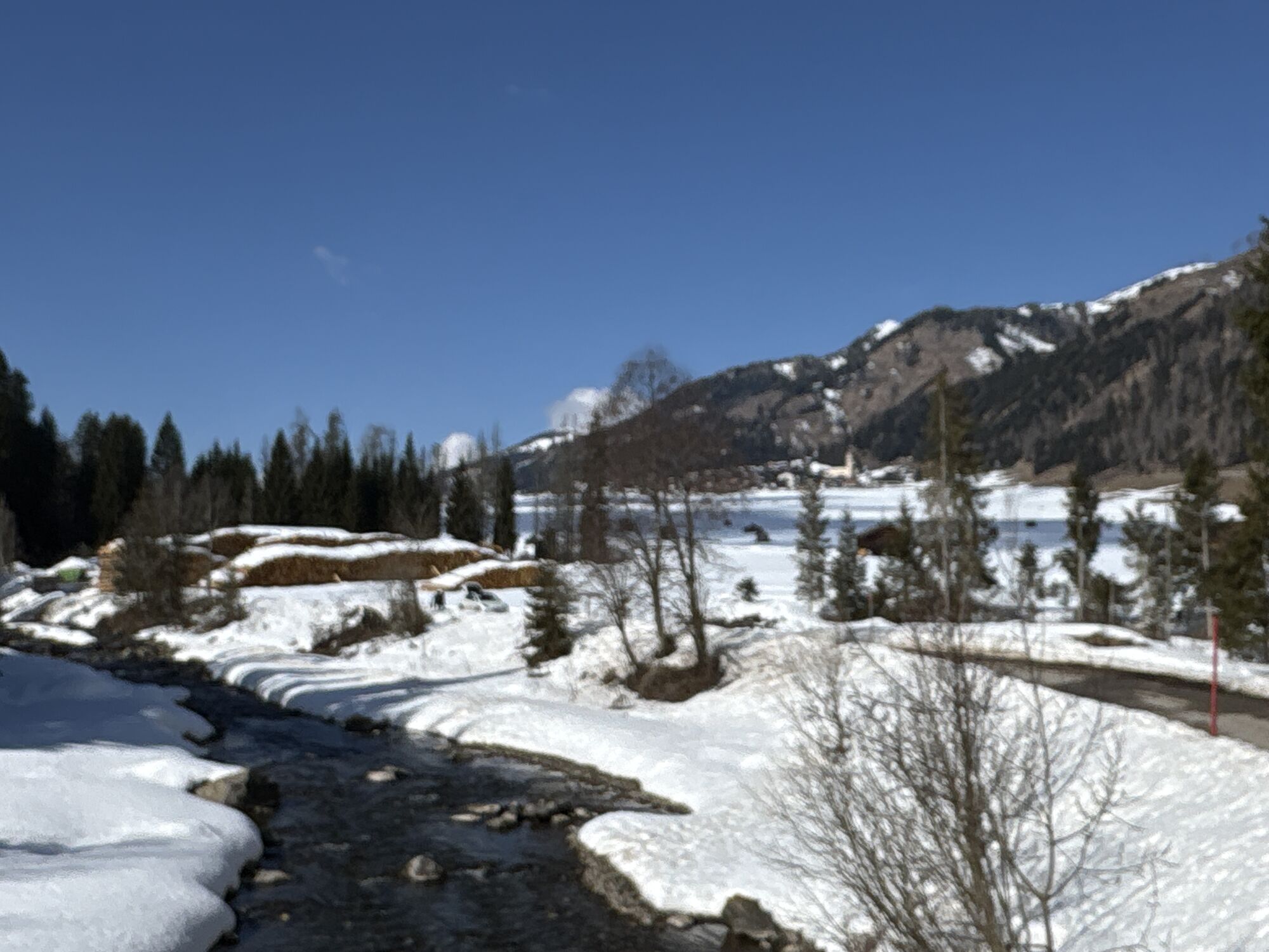
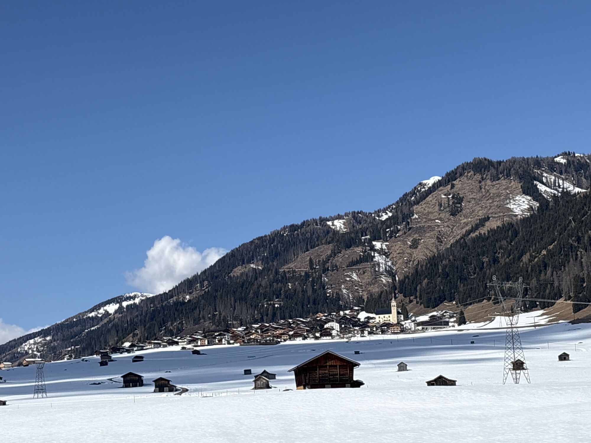
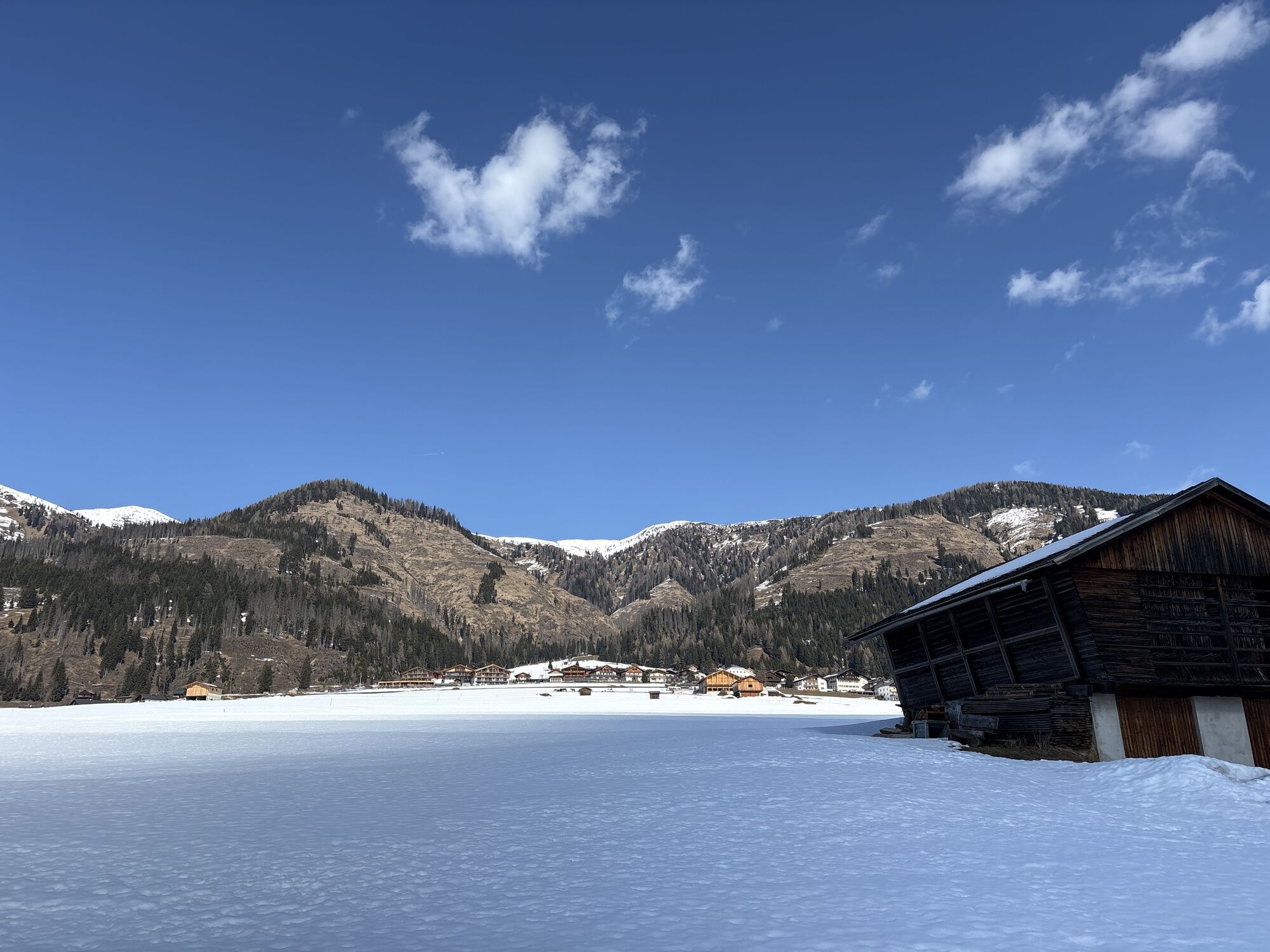
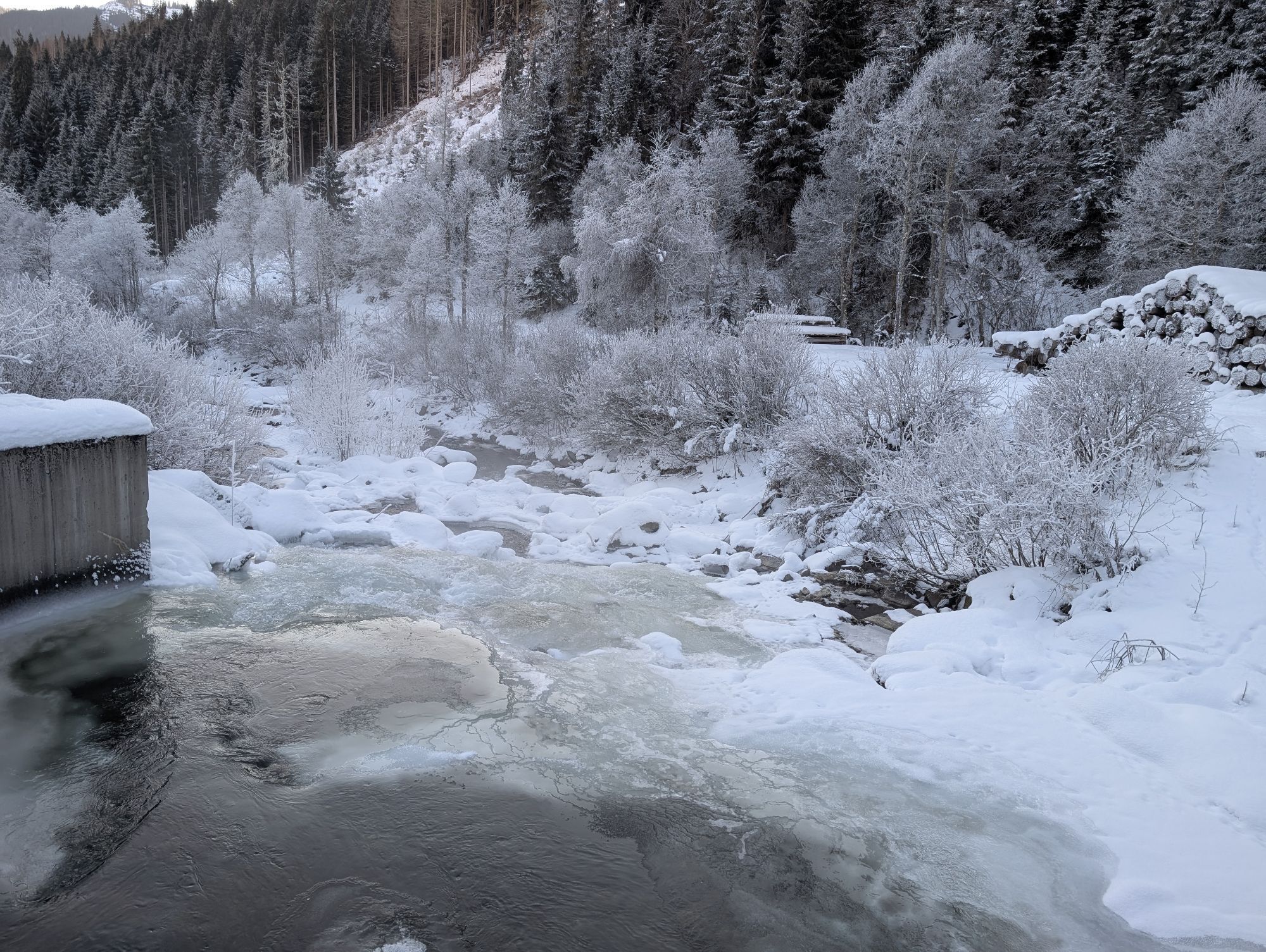
This hike starts at the Bäckwirt in Maria Luggau (below the basilica) and first leads down to the Gail. At the Rauter bridge, turn right onto the paved road up to the B111. Then follow the B111 past the village of Wacht and continue to the end of a long straight section, where we turn left again onto the Gail hiking trail. From there, hike along the idyllic Gail trail westwards until we finally reach the destination, the village of Obertilliach.
Attention: Please inquire about the current trail and weather conditions before each route!

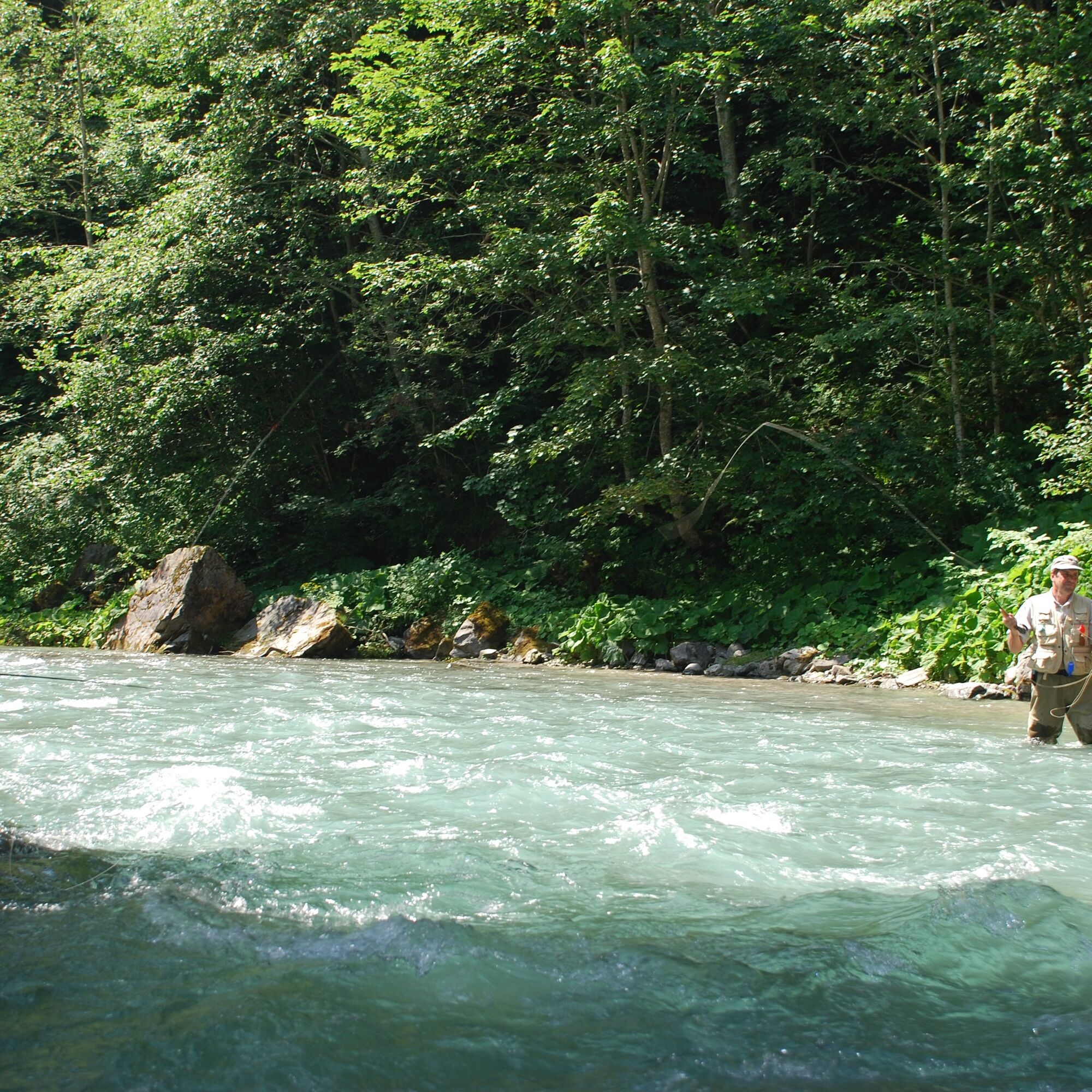


This hike starts at the Bäckwirt in Maria Luggau (below the basilica) and first leads down to the Gail. At the Rauter bridge, turn right onto the paved road up to the B111. Then follow the B111 past the village of Wacht and continue to the end of a long straight section, where we turn left again onto the Gail hiking trail. From there, hike along the idyllic Gail trail westwards until we finally reach the destination, the village of Obertilliach.
Attention: Please inquire about the current trail and weather conditions before each route!
Tak
Check the current trail conditions or any trail closures before the route.
Either via Kötschach-Mauthen or via Tassenbach (Sillian) into the Lesachtal to Maria Luggau
several bus stops in Maria Luggau - Obertilliach
town center in Maria Luggau
Beautiful hike in 2 federal states

Kamery internetowe z trasy
Uzyskaj wgląd
Zawsze na żywo z ponad 9 500 kamer internetowych. bergfex Jako użytkownik Pro, możesz teraz zobaczyć odpowiednie kamery internetowe dla wielu wycieczek w aplikacji wycieczki od. Pozwala to na bezpośredni podgląd aktualnych warunków.
Popularne wycieczki w okolicy
-
4,7
Karlsbader Hütte über Rudl-Eller-Weg
ciężkiWędrówka 5,10 km -
4,5
Karnischer Höhenweg – Etappe 4: Hochweißsteinhaus – Wolayersee Hütte
ciężkidługodystansowy szlak pieszy 15,9 km -
4,8
Lienzer Dolomiten-Lasertörl
średniWędrówka 13,2 km -
4,5
Kartitsch-Obstansersee Hütte
średniWędrówka 13,1 km -
4,7
Karlsbader Hütte
średniMountainbike 13,4 km -
4,5
Obergail - Obergailer Alm - Obergailer Lake - Enderberg hut - Source for Health & Peace - Madonna circular hiking route - Obergail
średniWędrówka 11,4 km -
4,8
Klammbrückl - Kerschbaumeralm - Spitzkofel
ciężkiWędrówka 8,71 km -
4,4
Connyalm (2.070 m)
Wędrówka 6,36 km -
4,0
Karlsbader Hütte - Lienzer Dolomiten
Wędrówka 8 km -
5,0
Porzehütte (1.942 m)
światłoWędrówka 9,01 km
Wędrówki i tropienie


Nie przegap ofert i inspiracji na następne wakacje
Twój adres e-mail została dodana do listy mailingowej.





