







Panoramic walk on four peaks

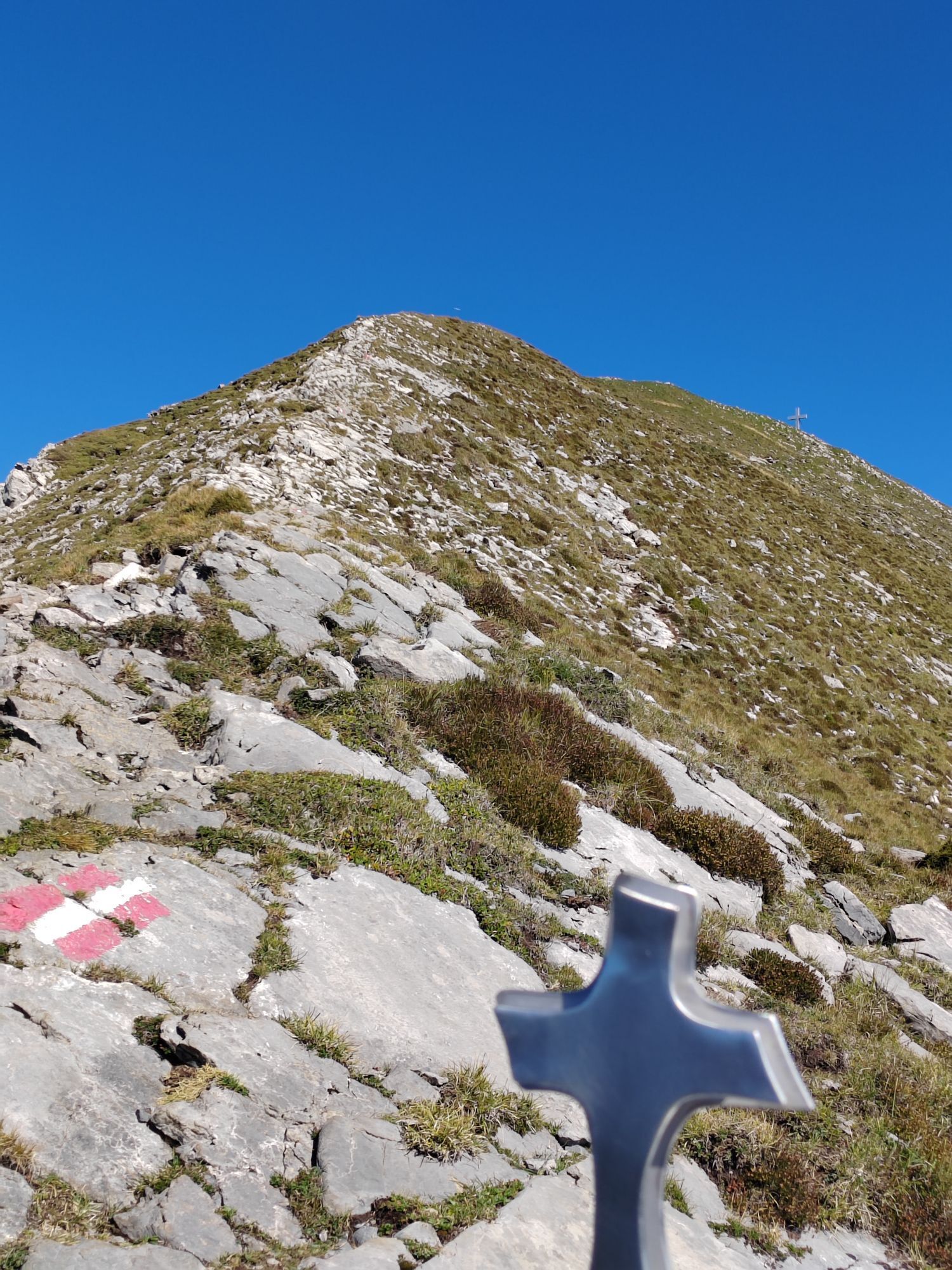
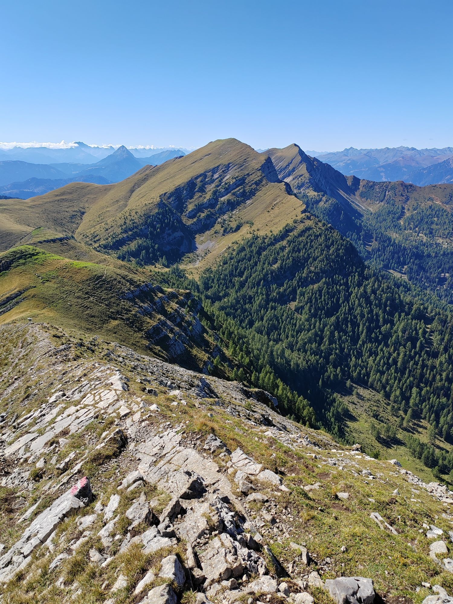
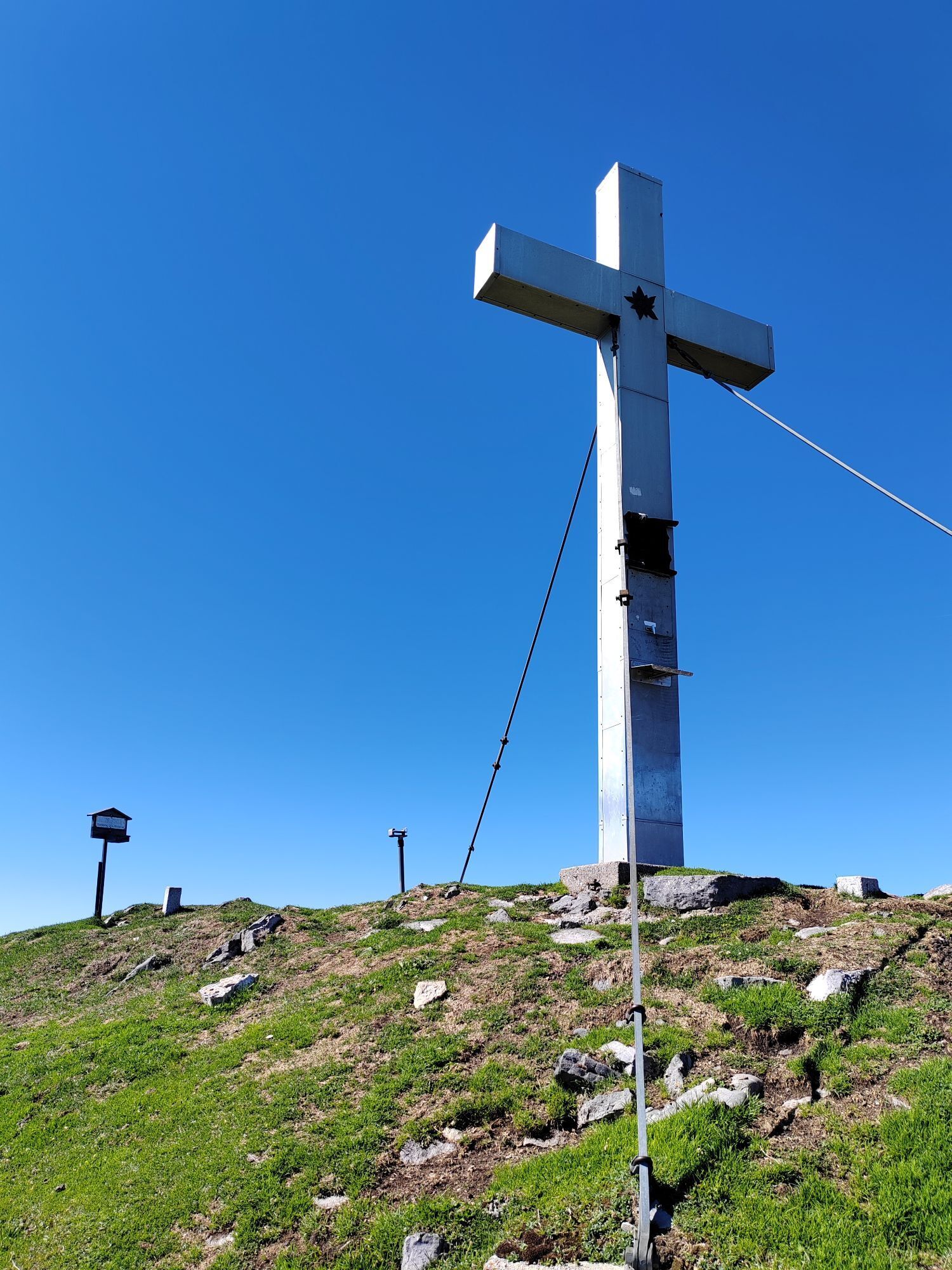
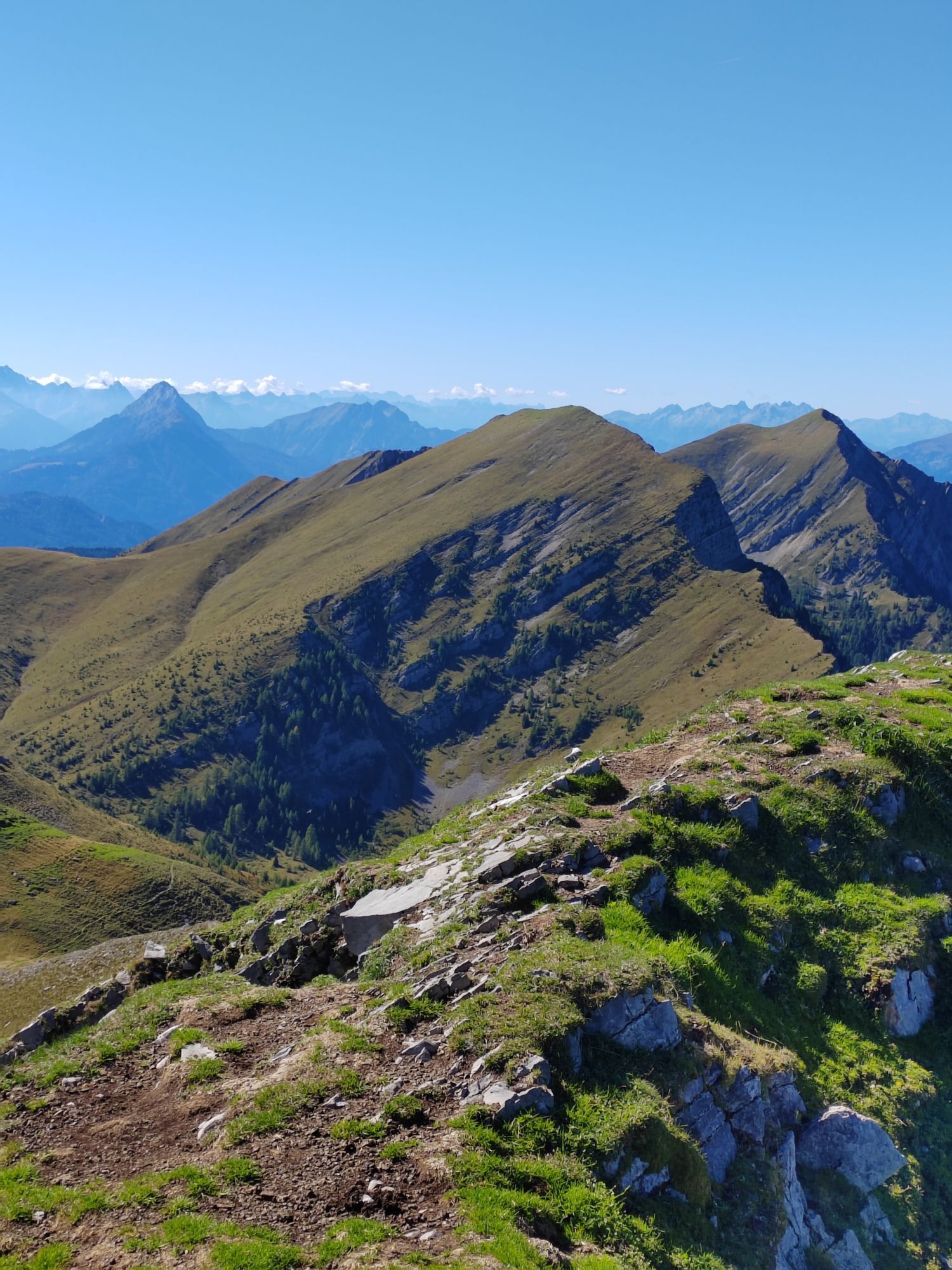
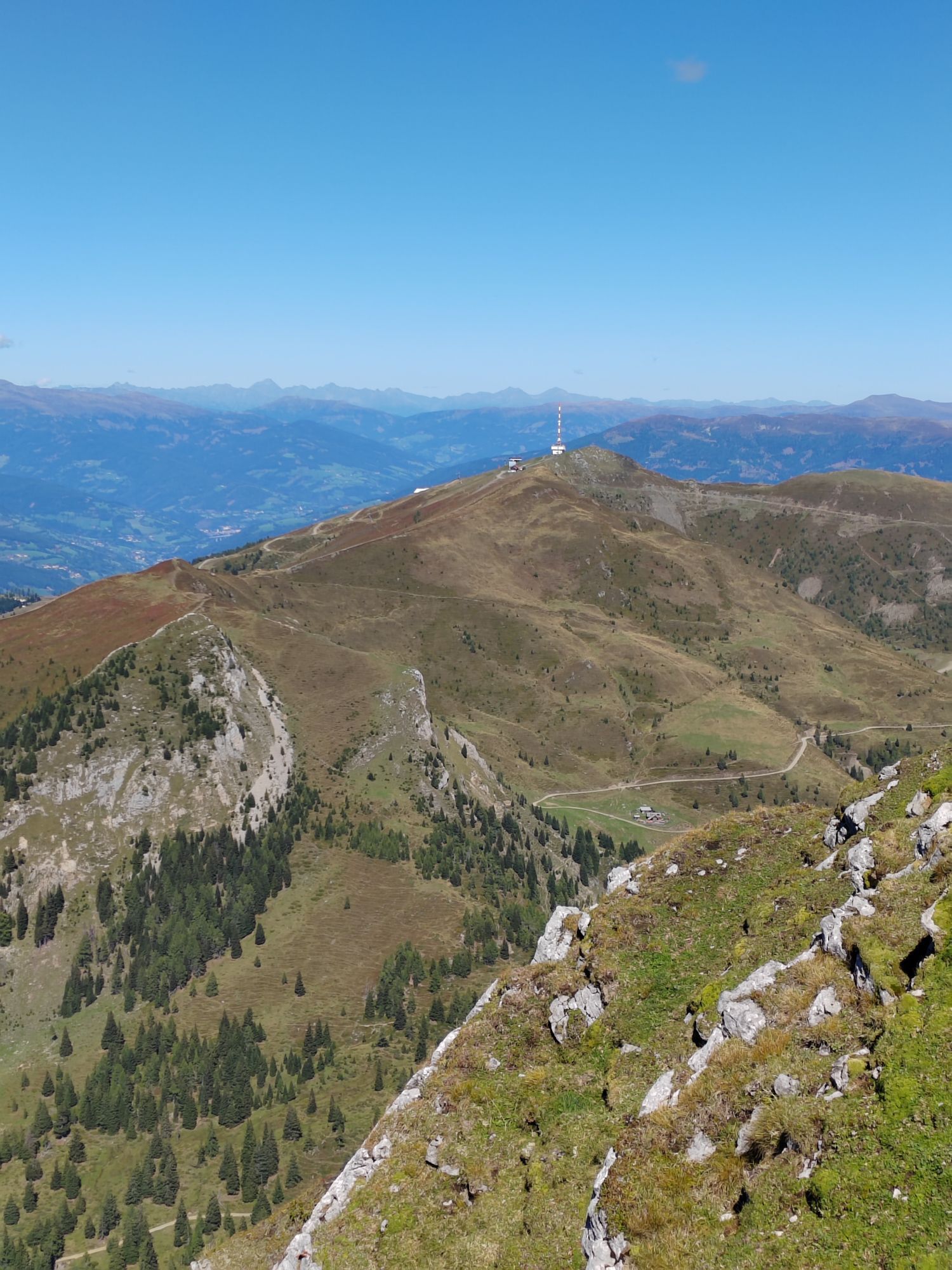
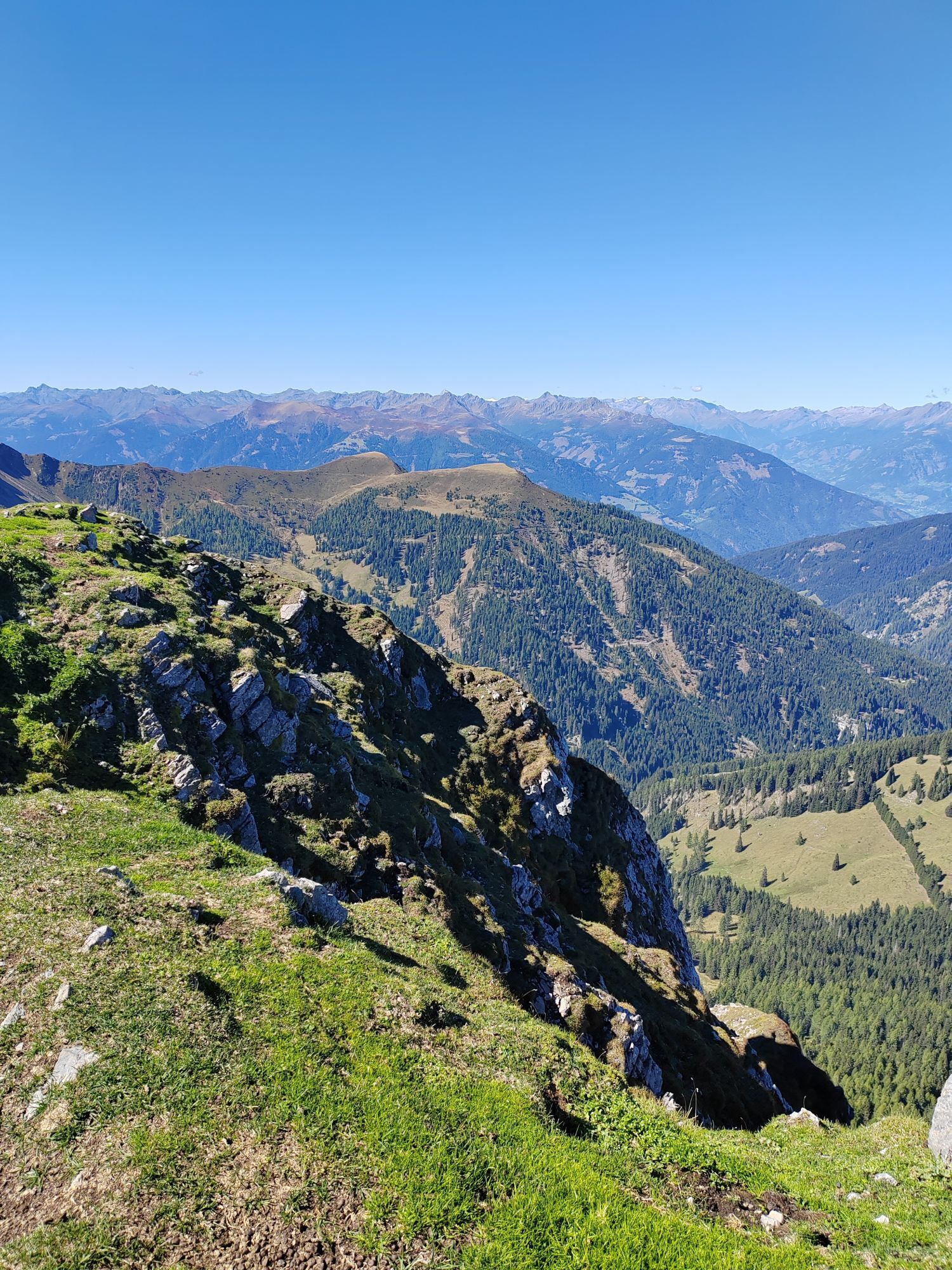
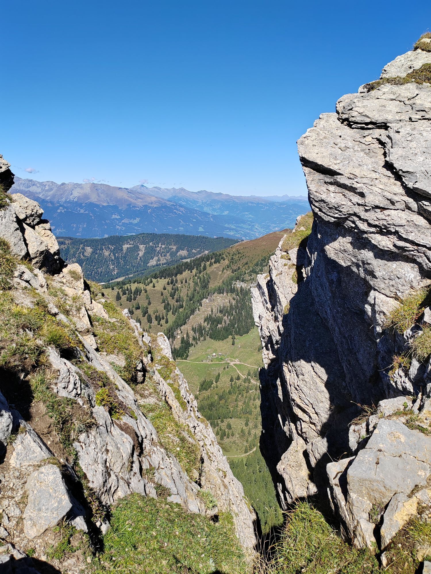
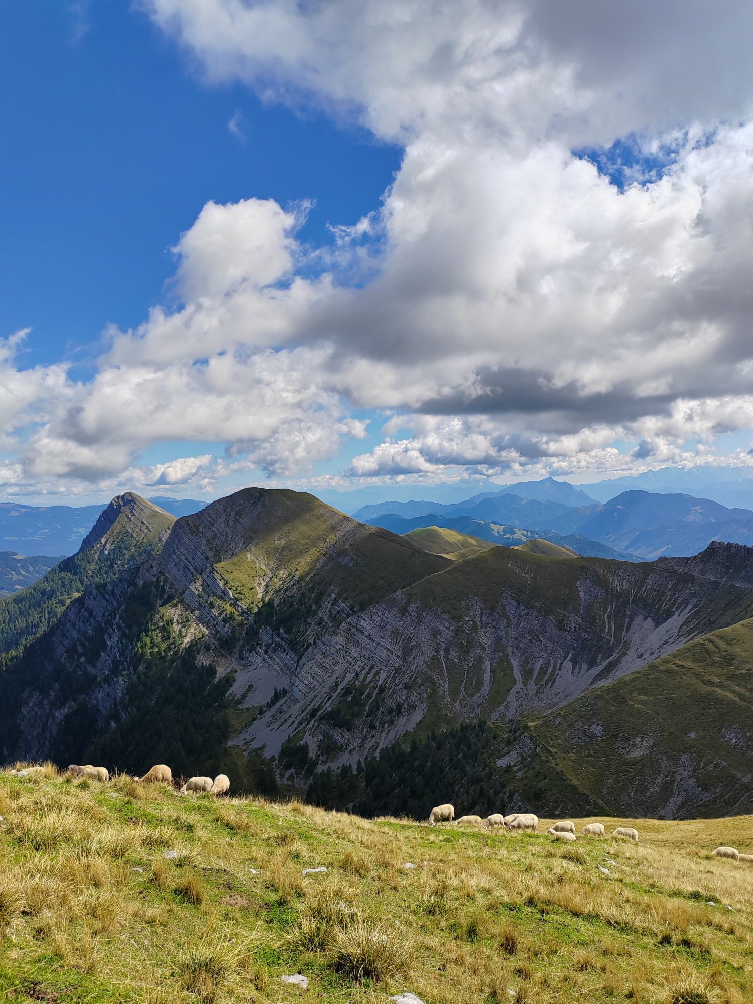
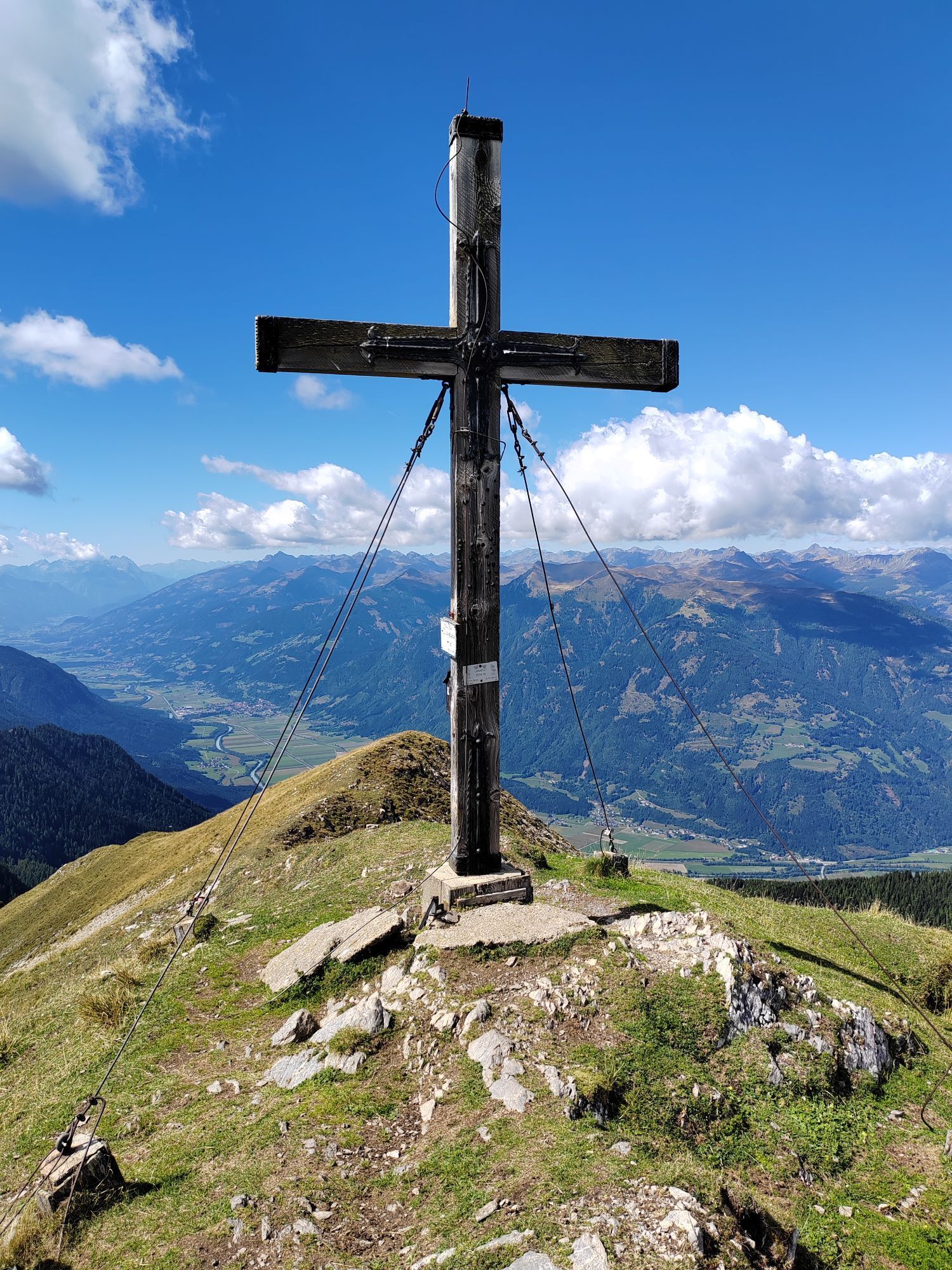
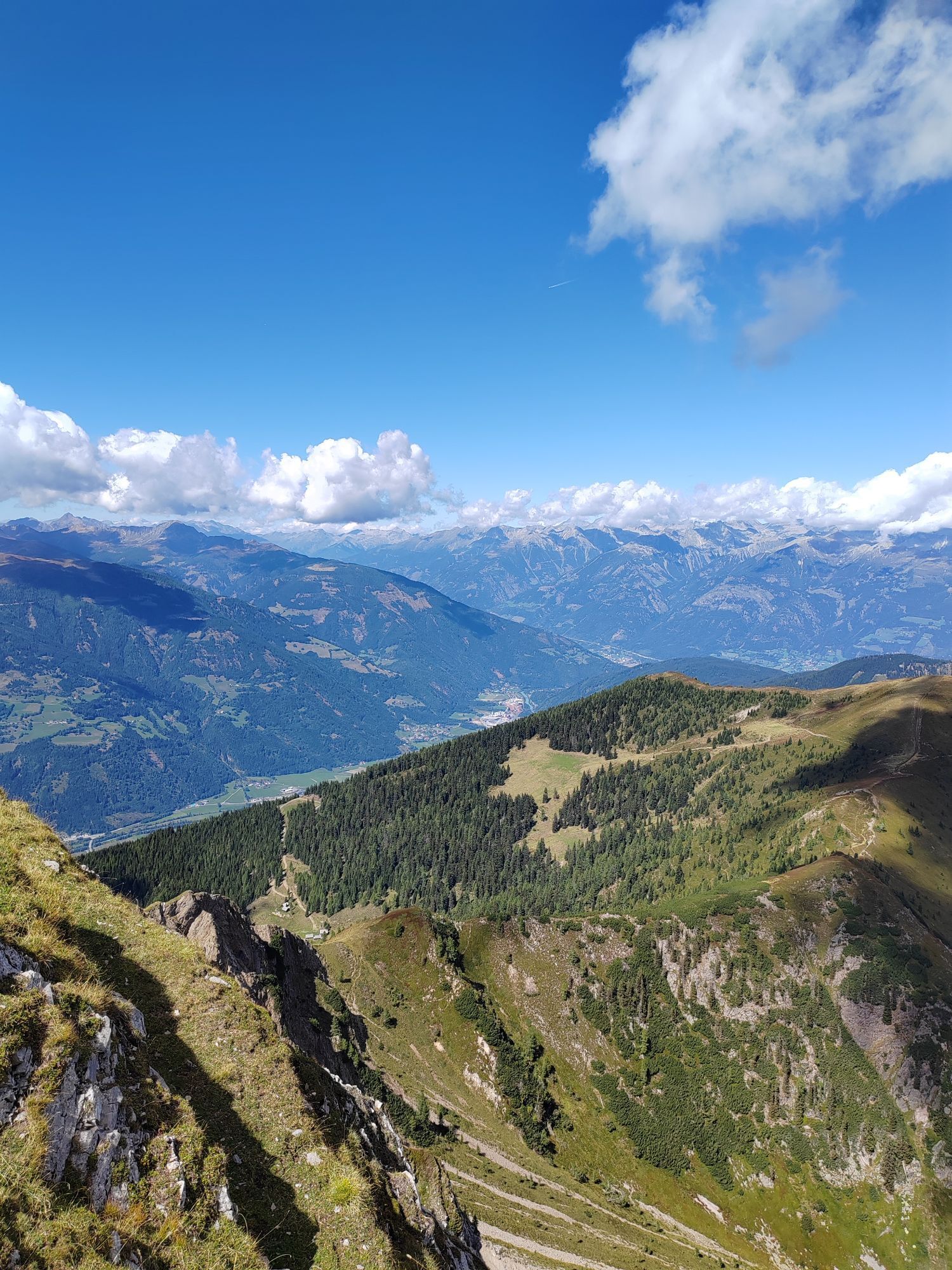
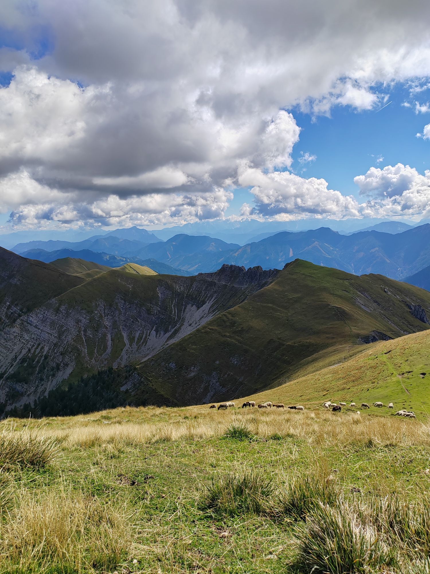
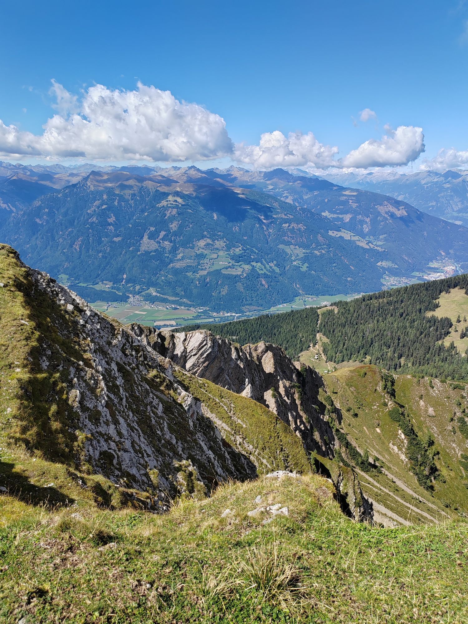
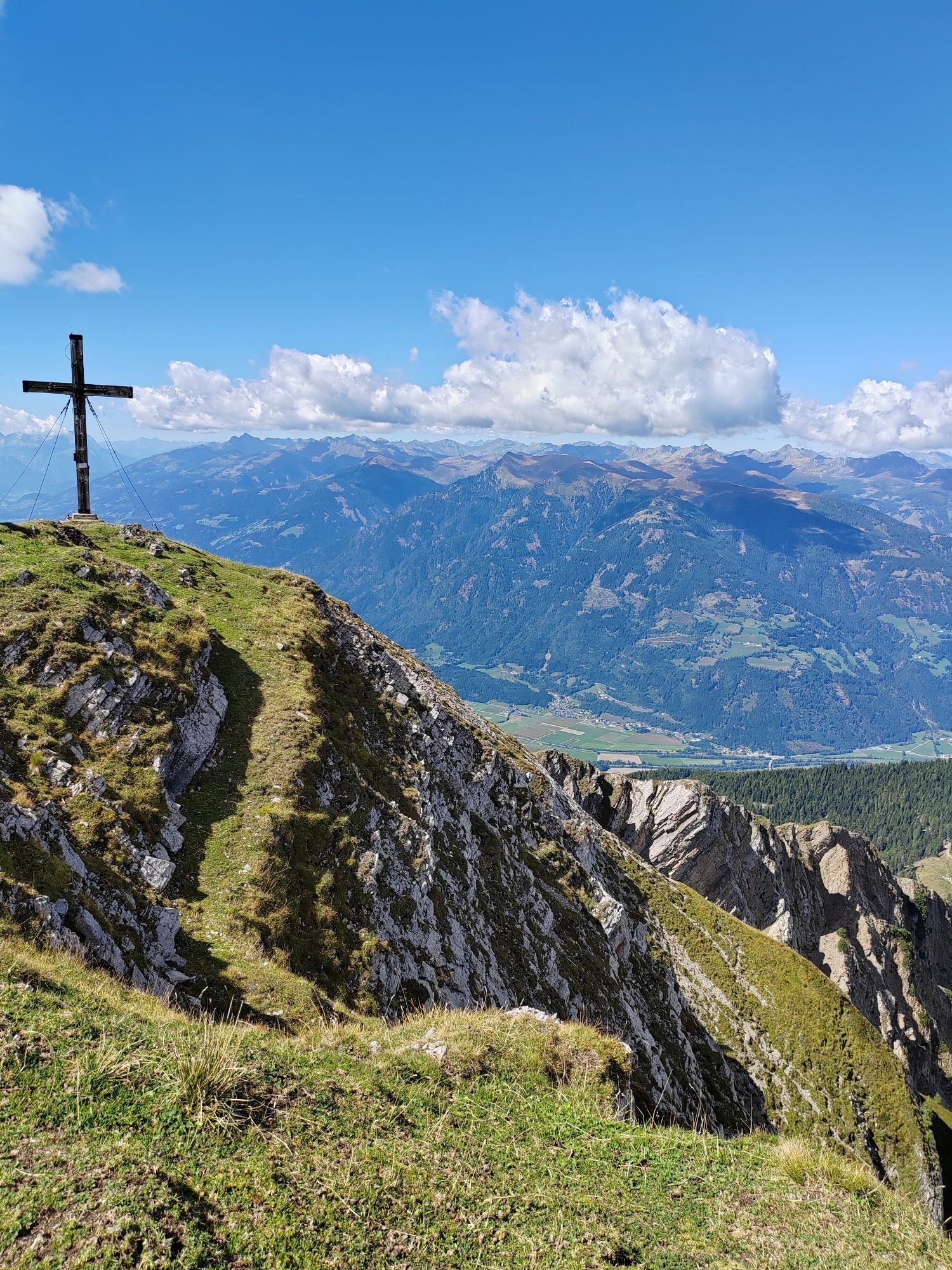
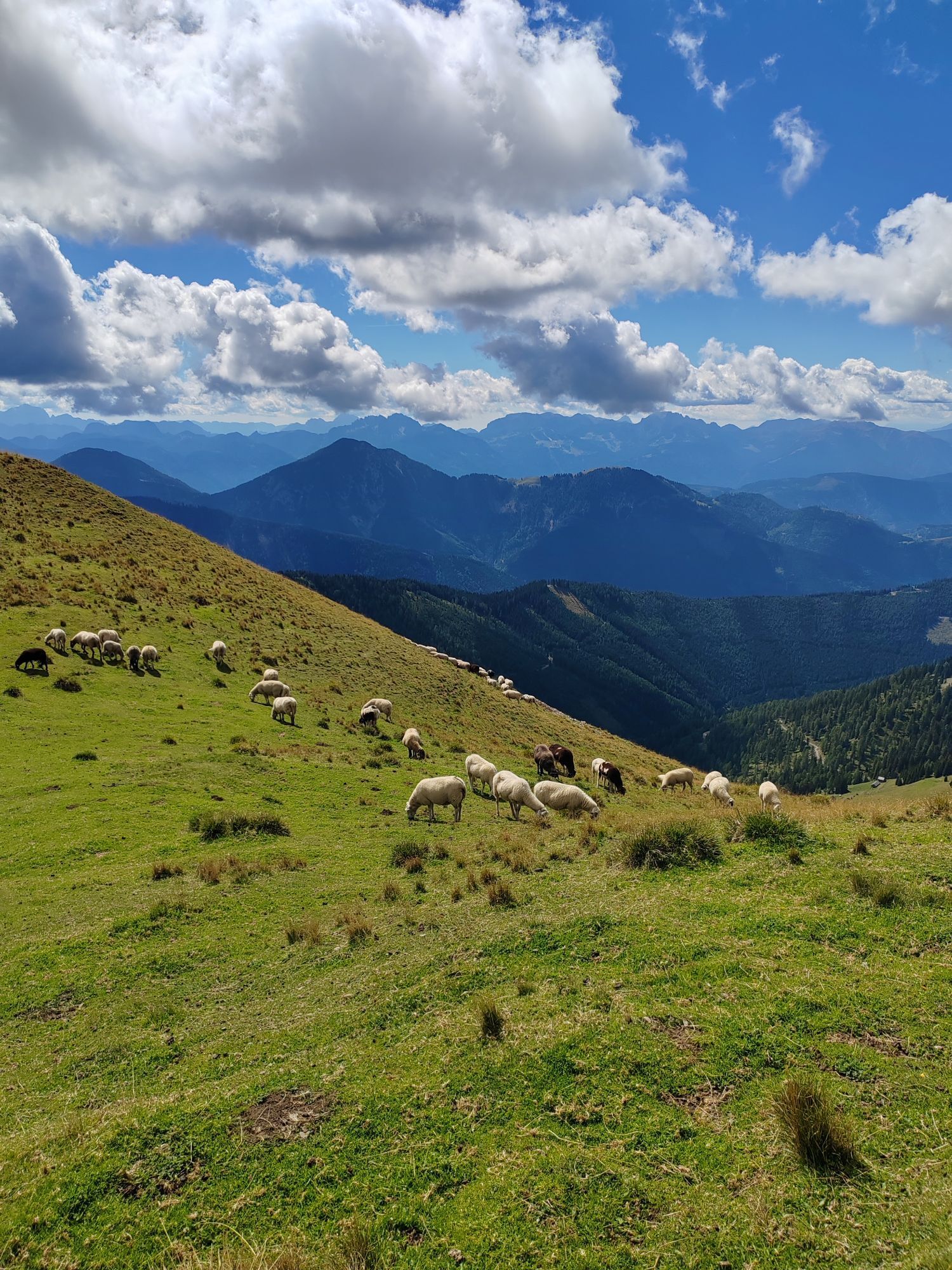
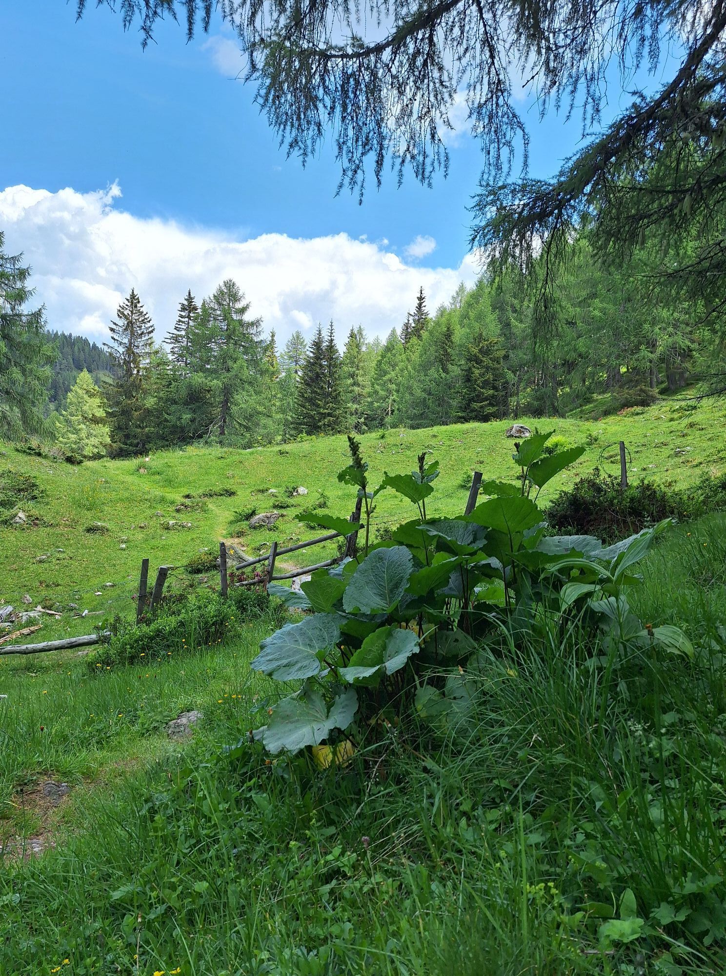
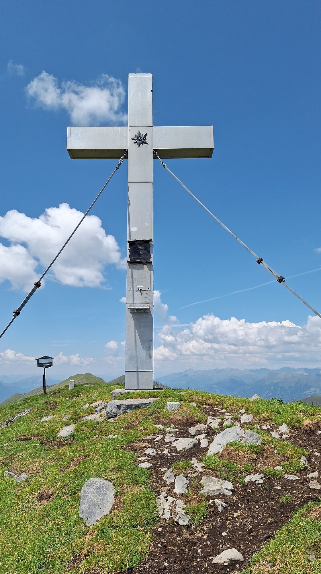
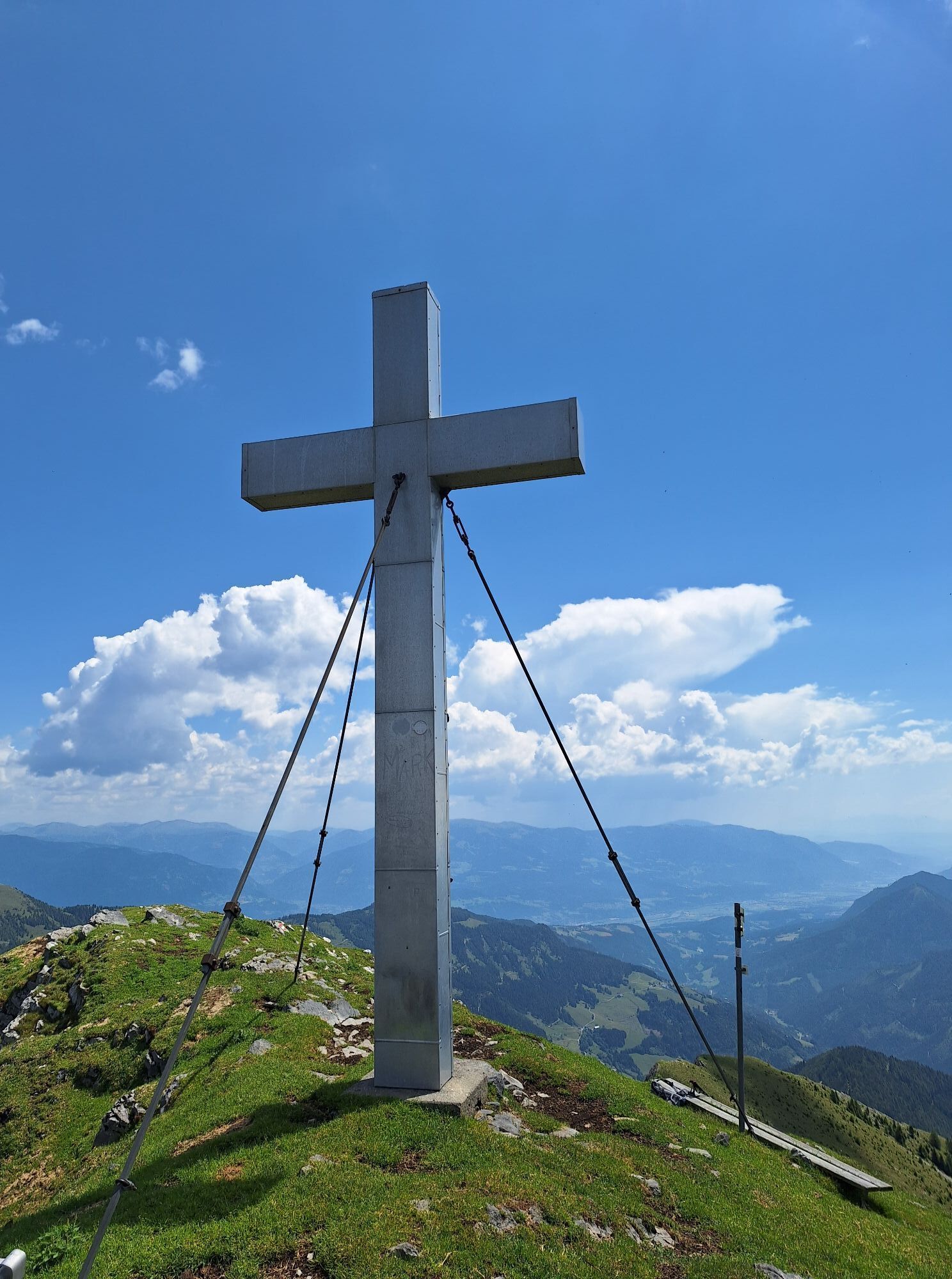
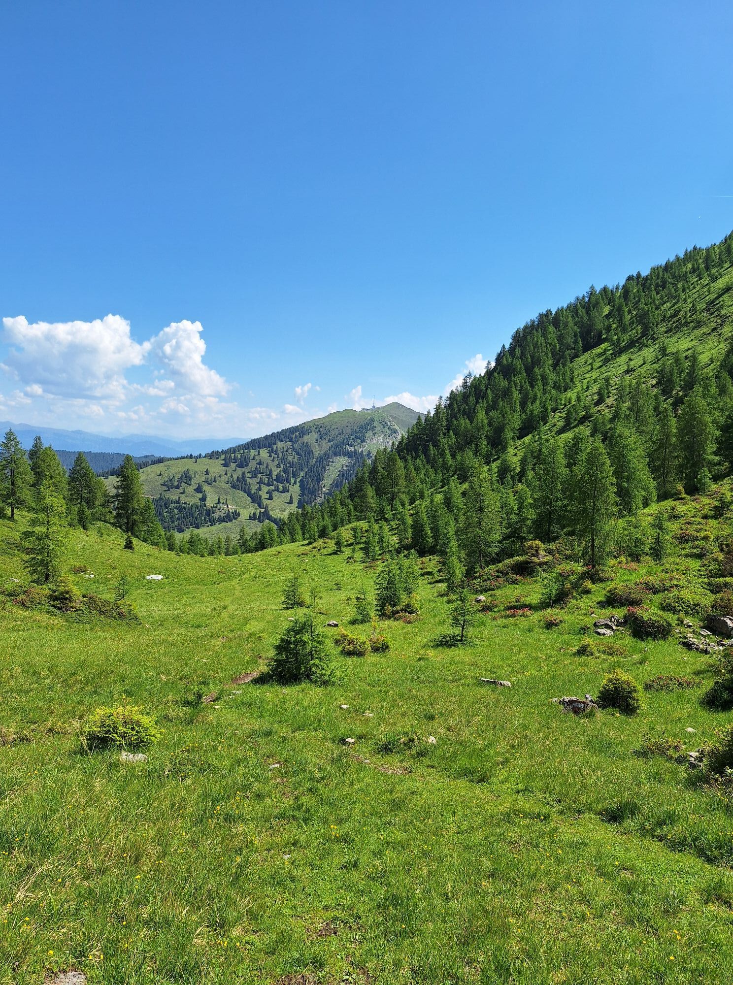
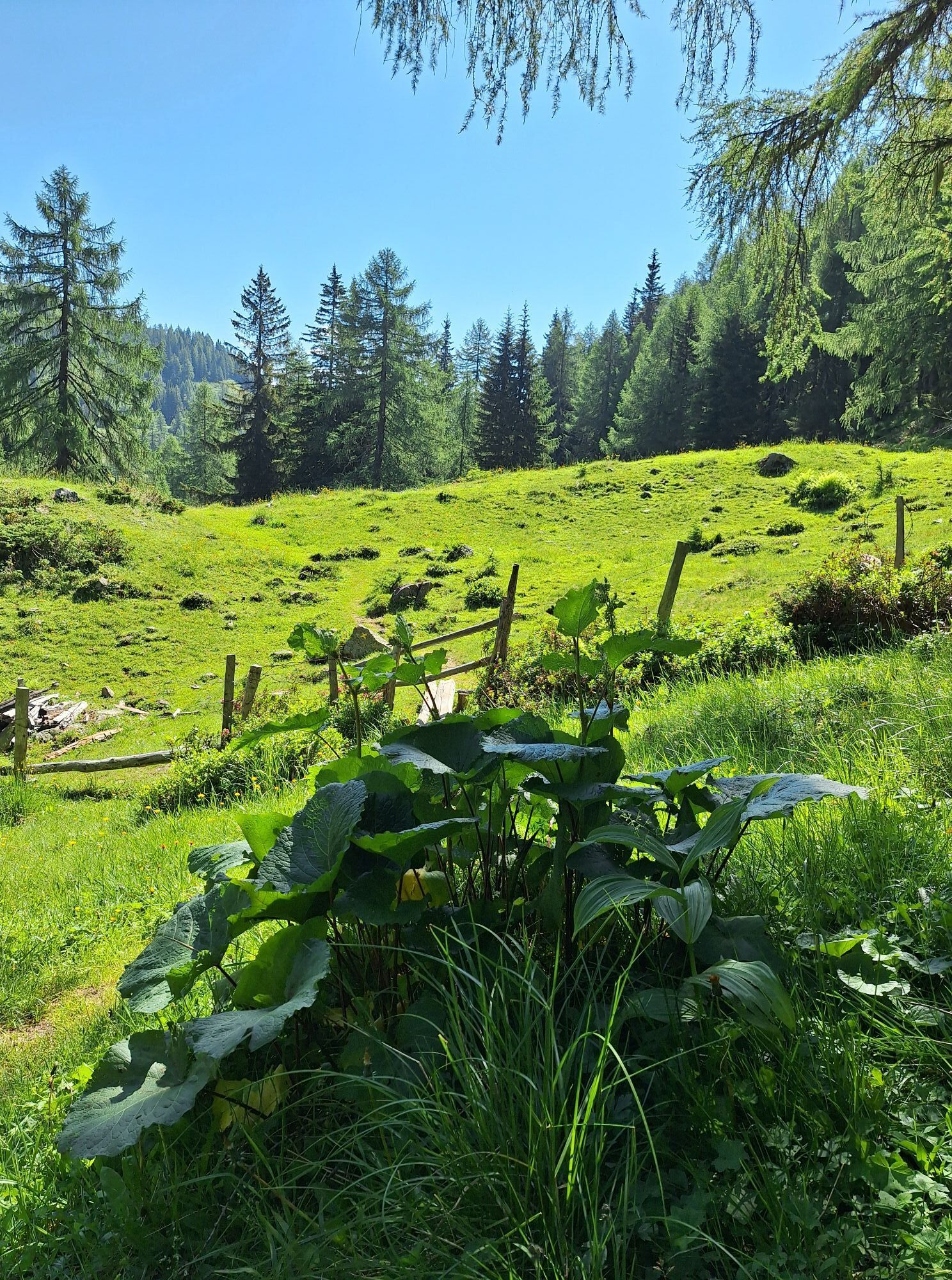
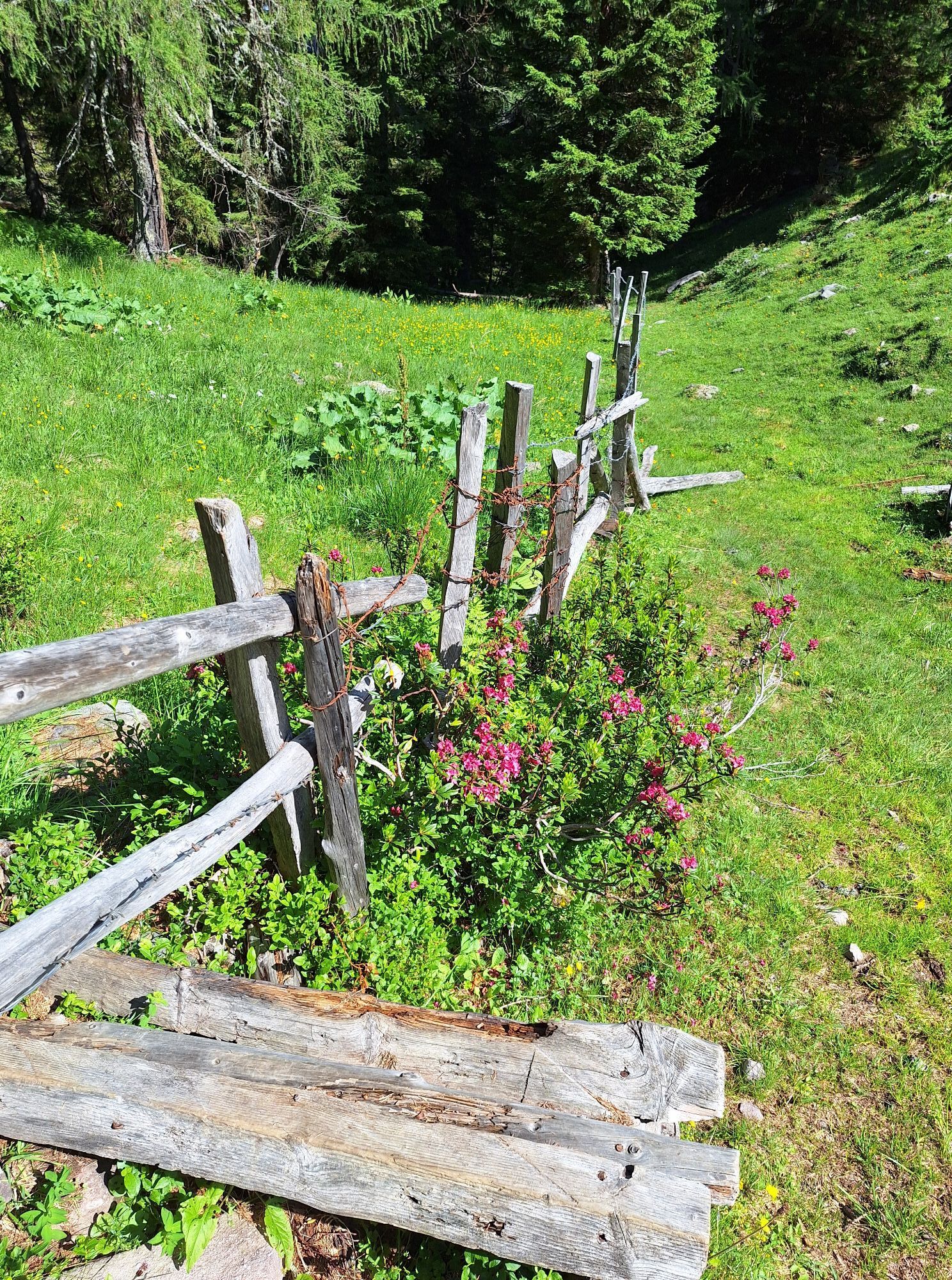
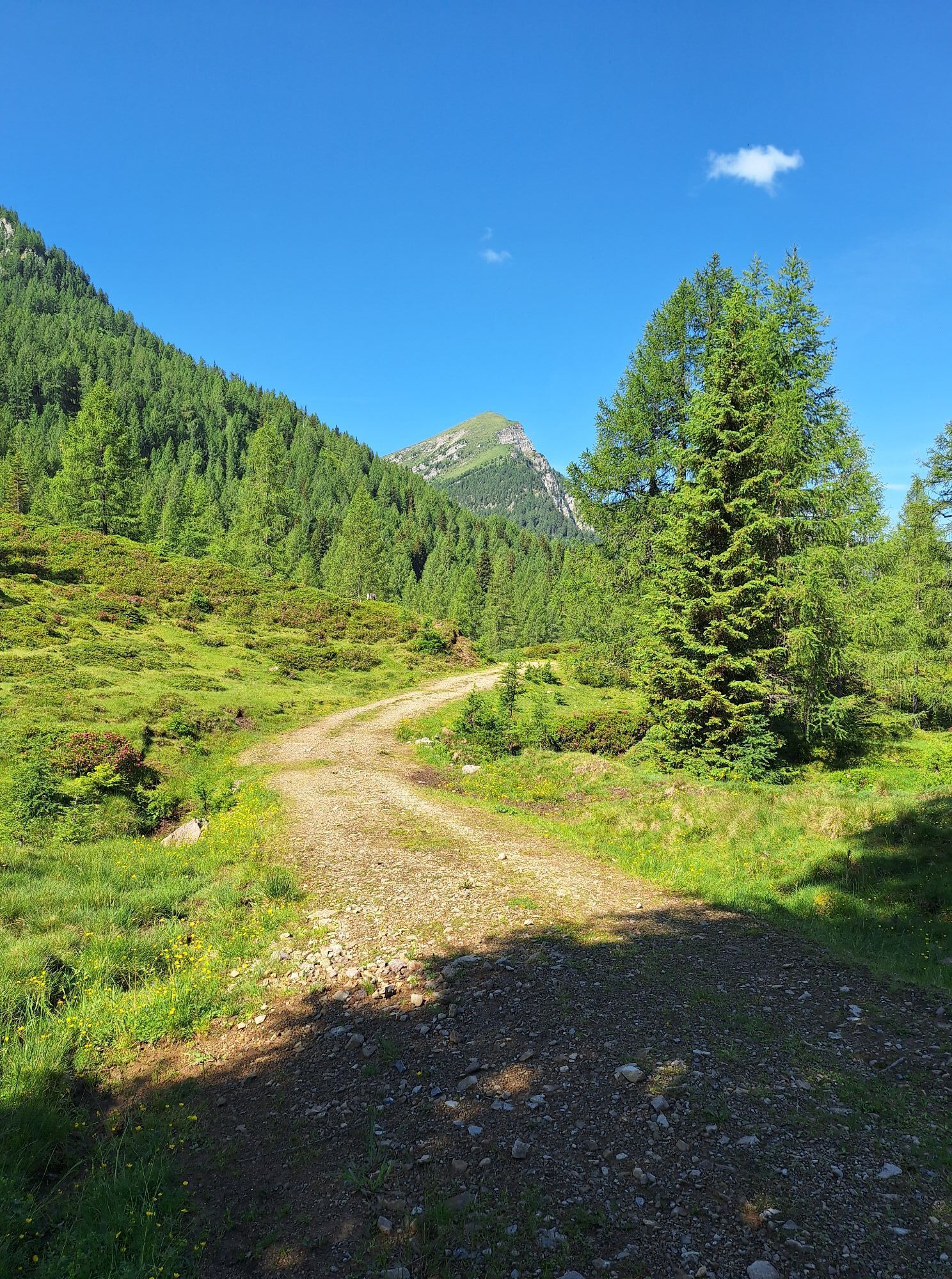
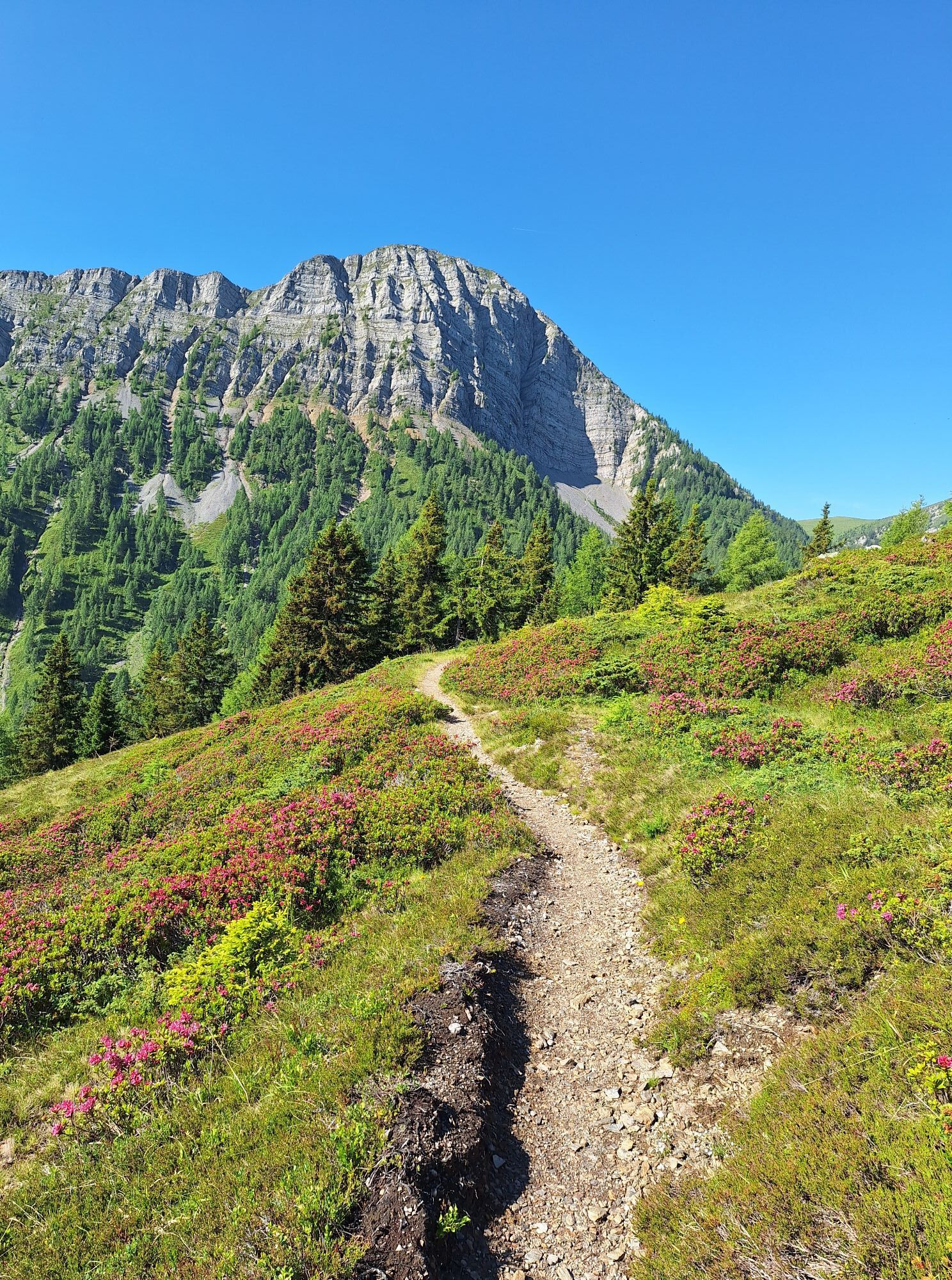
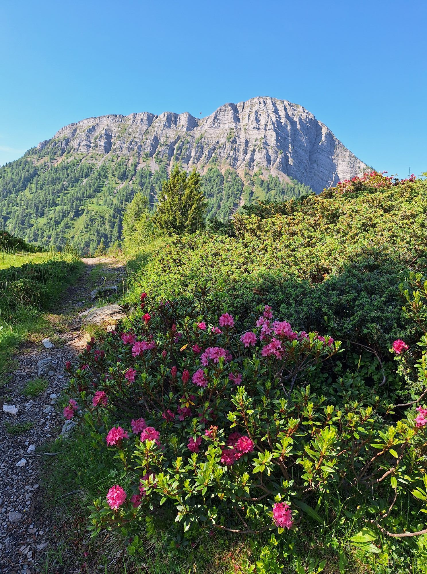
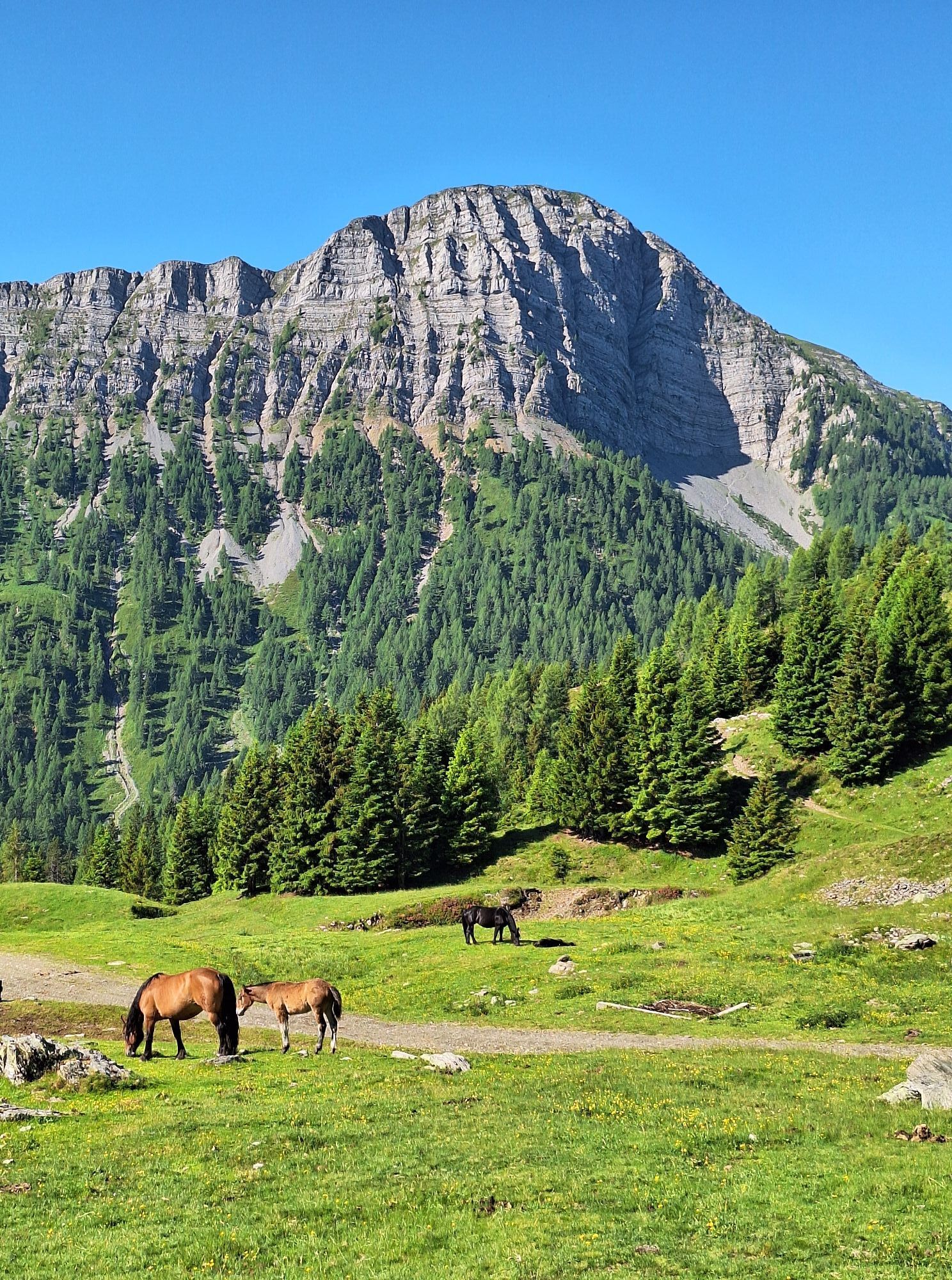
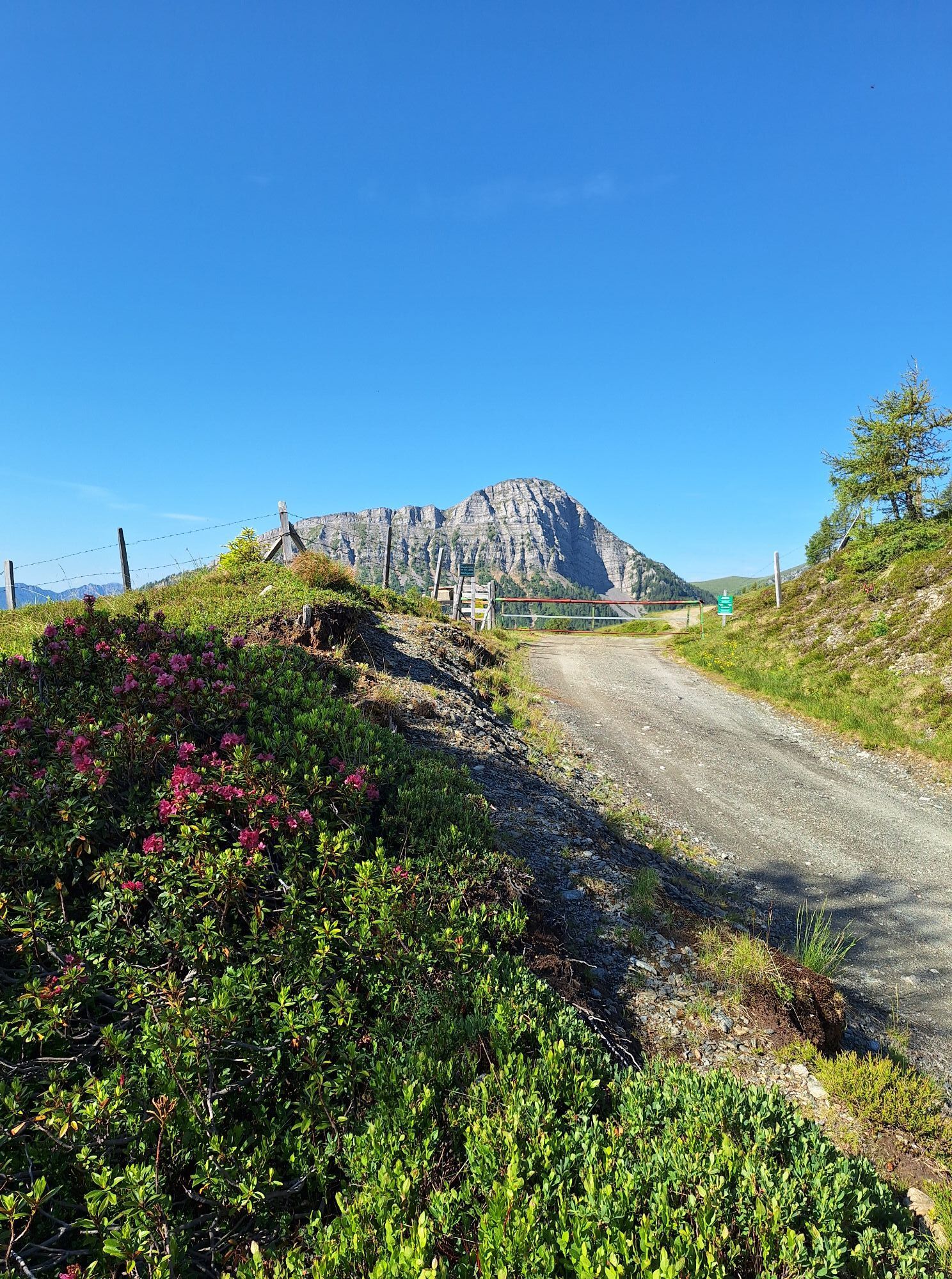
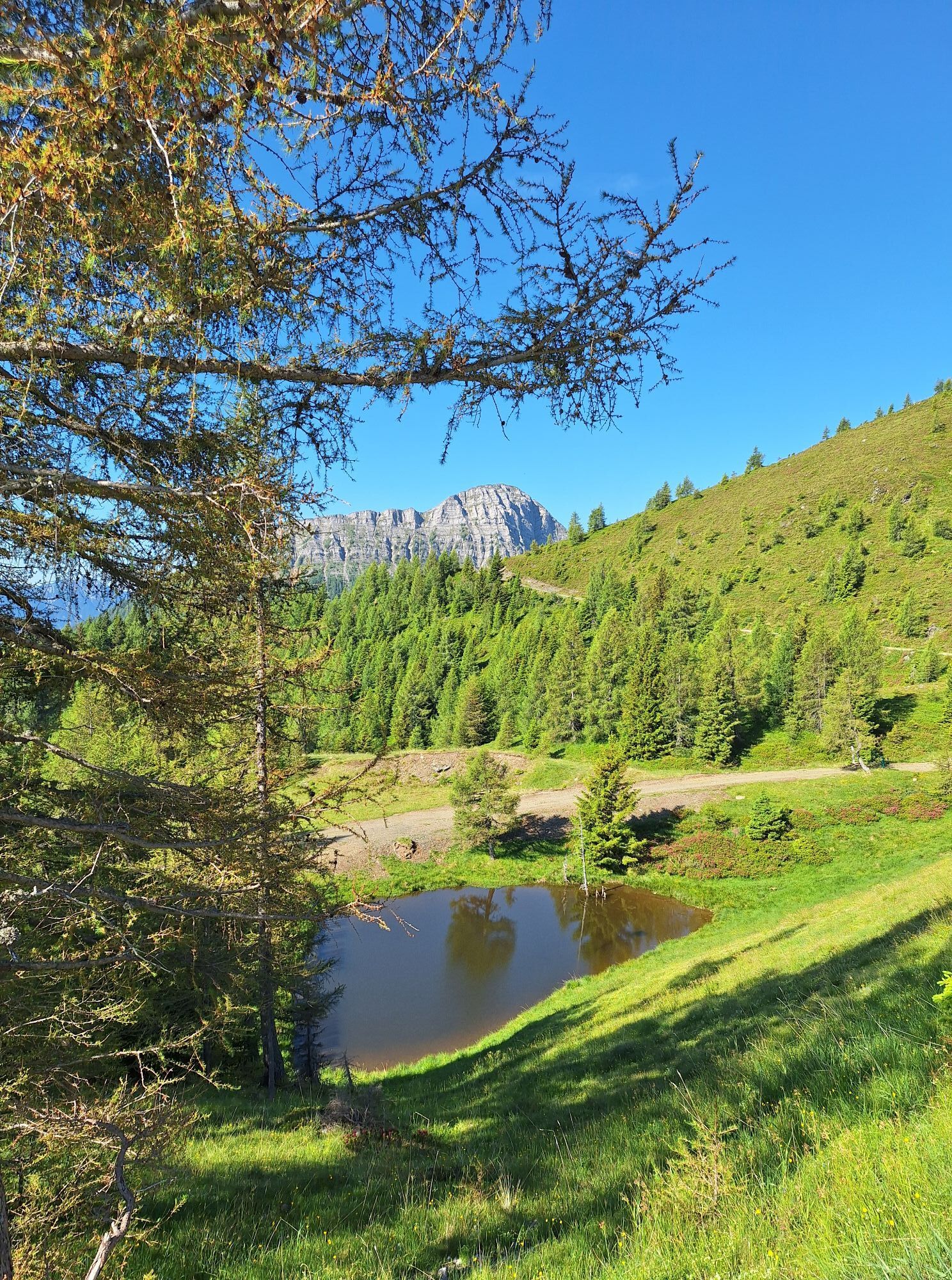
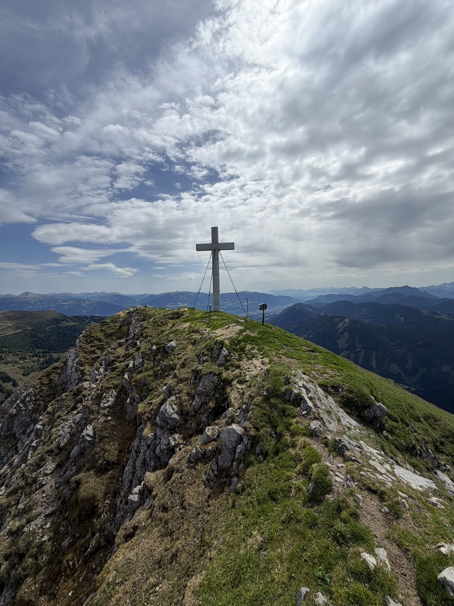
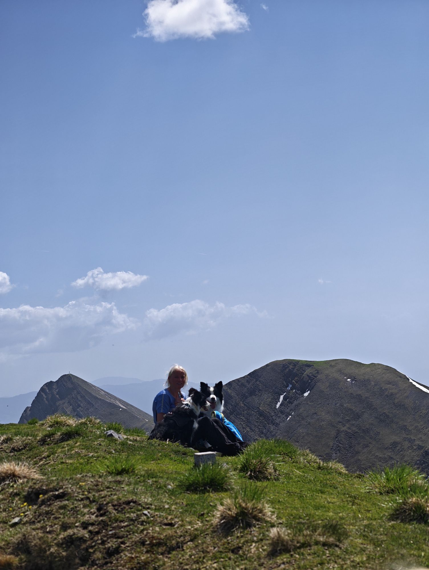
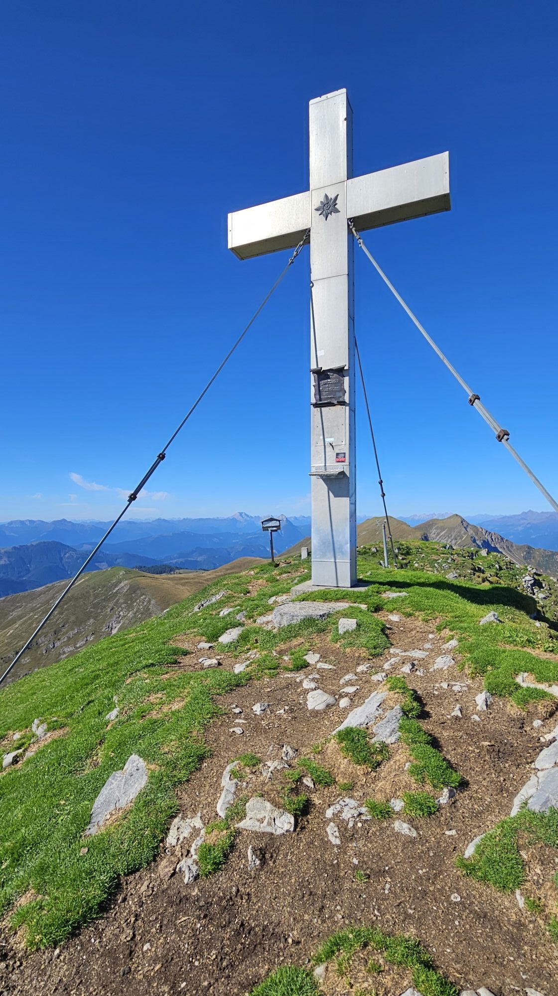
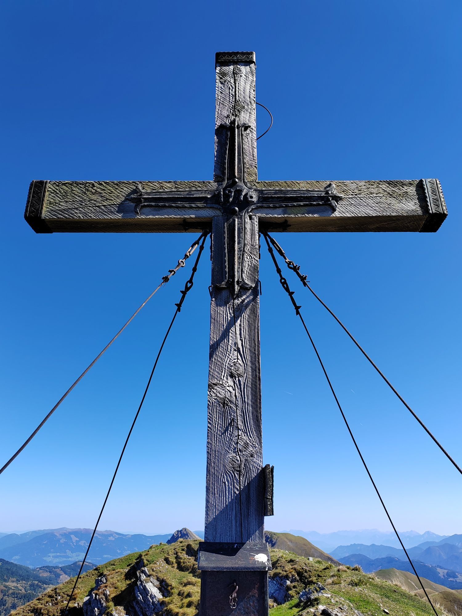
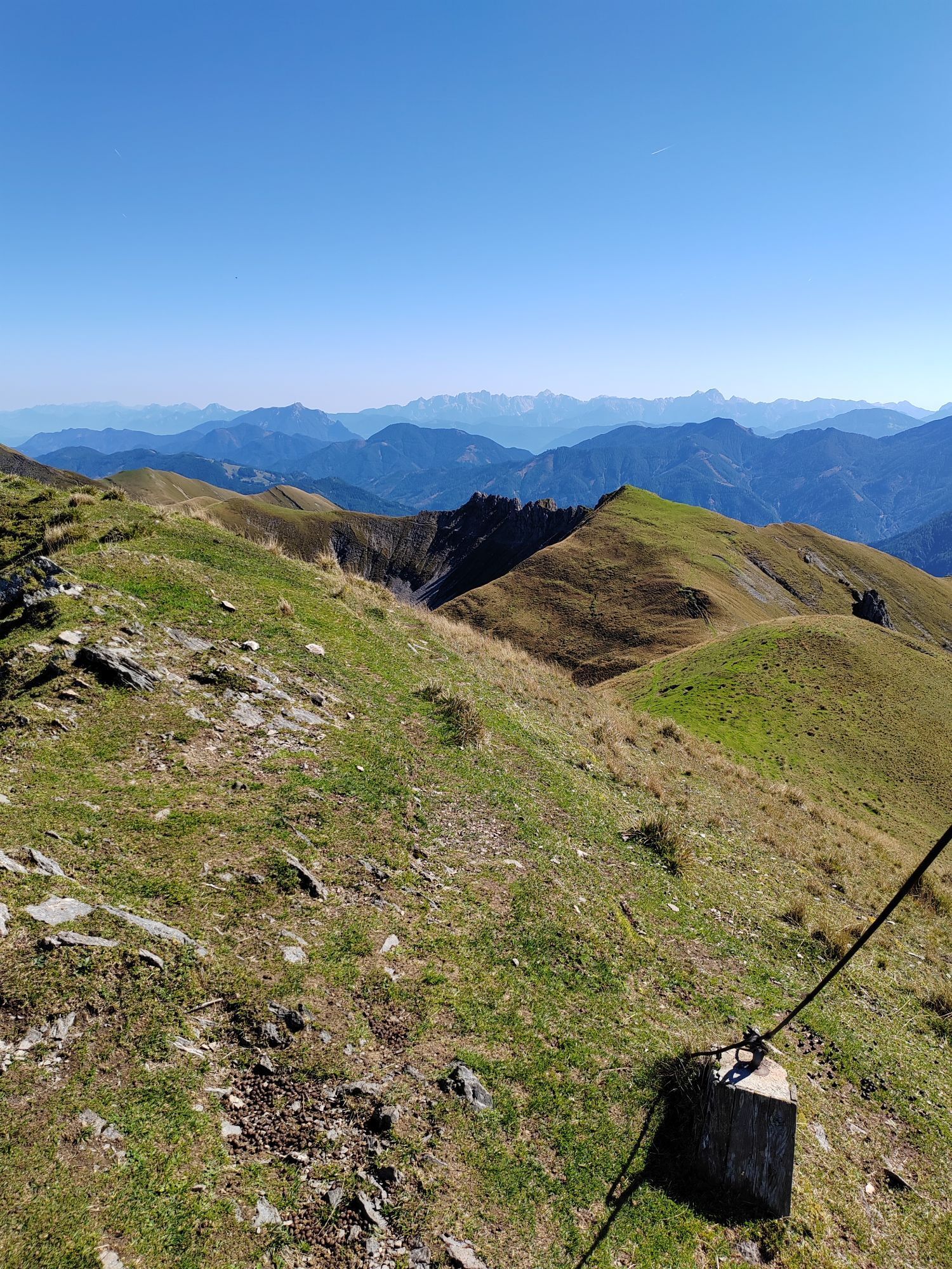
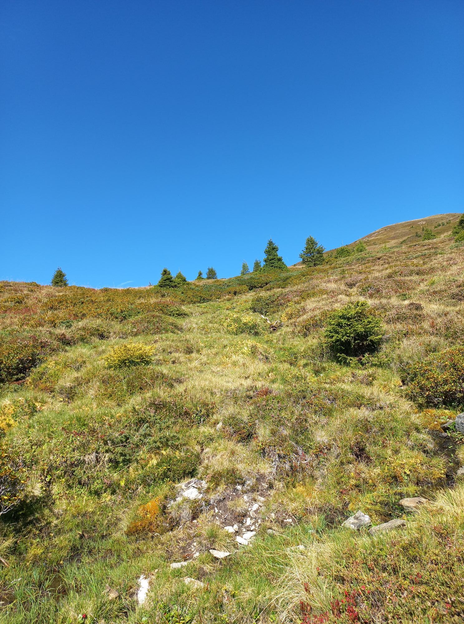
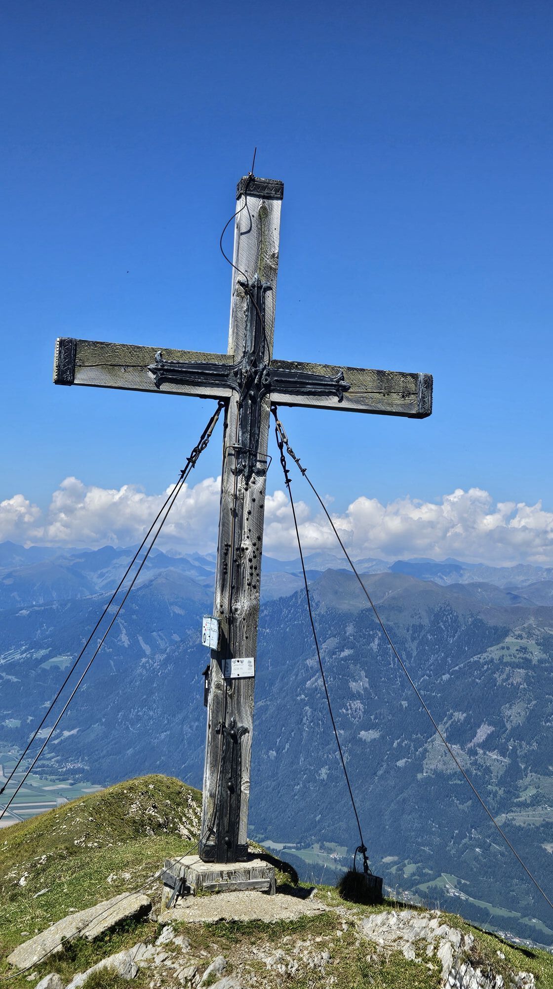
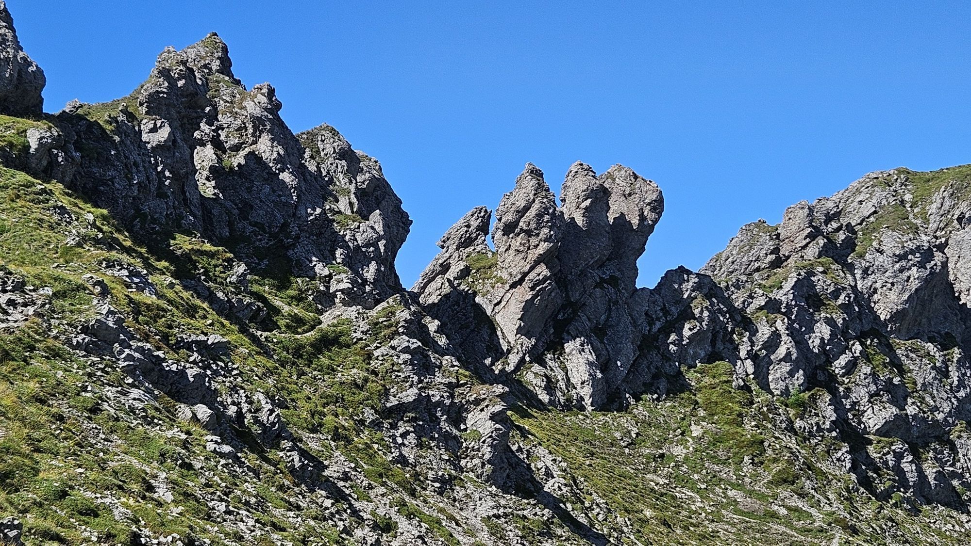
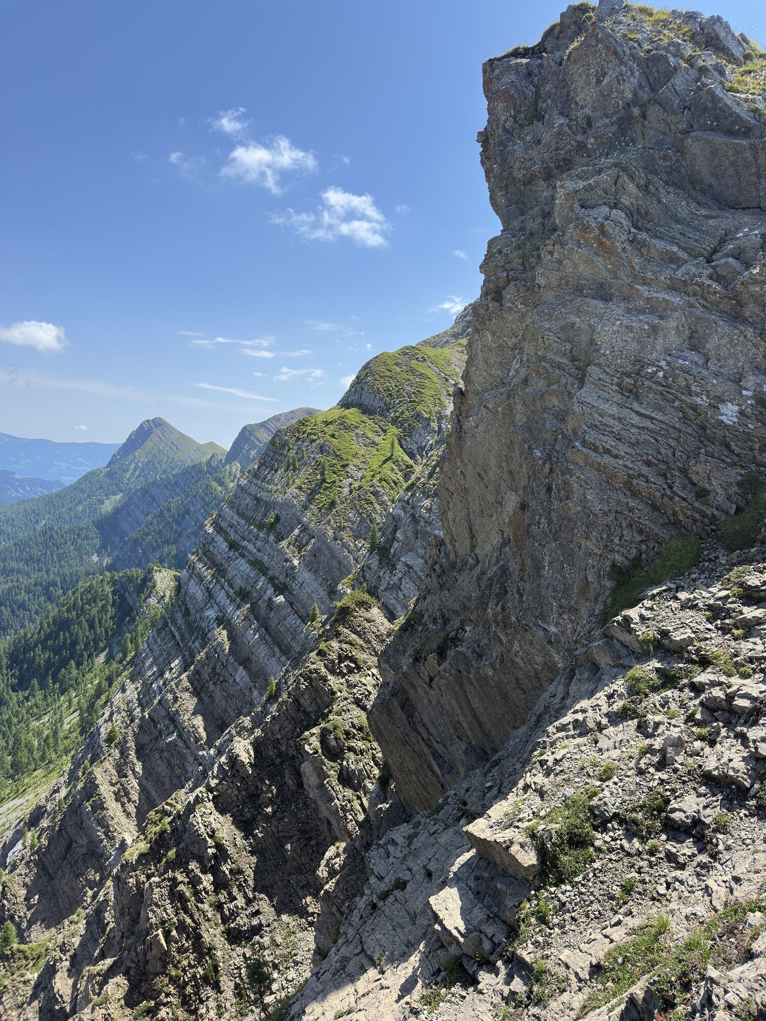
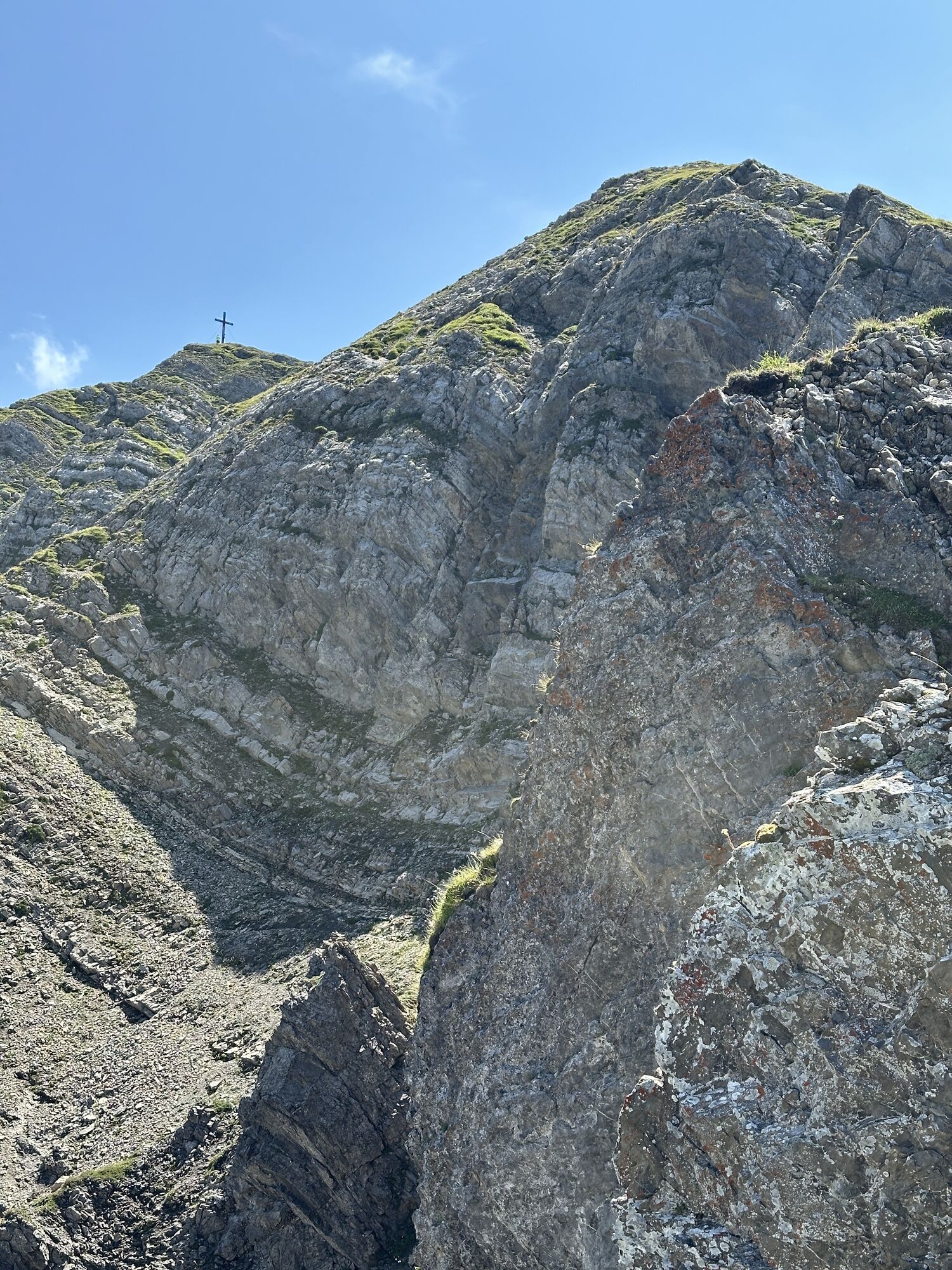


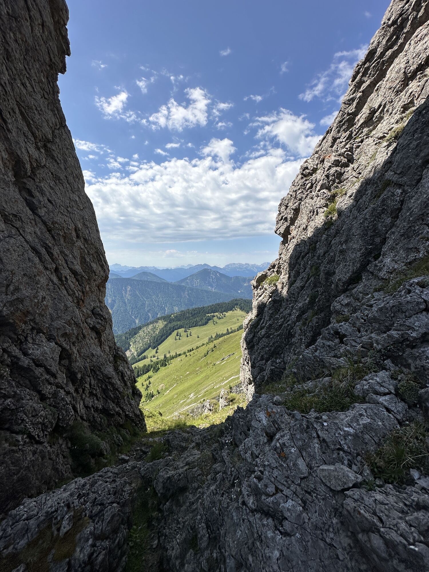
situated to the south of Spittal, Goldeck exceeds 2000 m. In the past an attempt was made to mine gold on the mountain but due to the lack of profitability the project was soon given up.


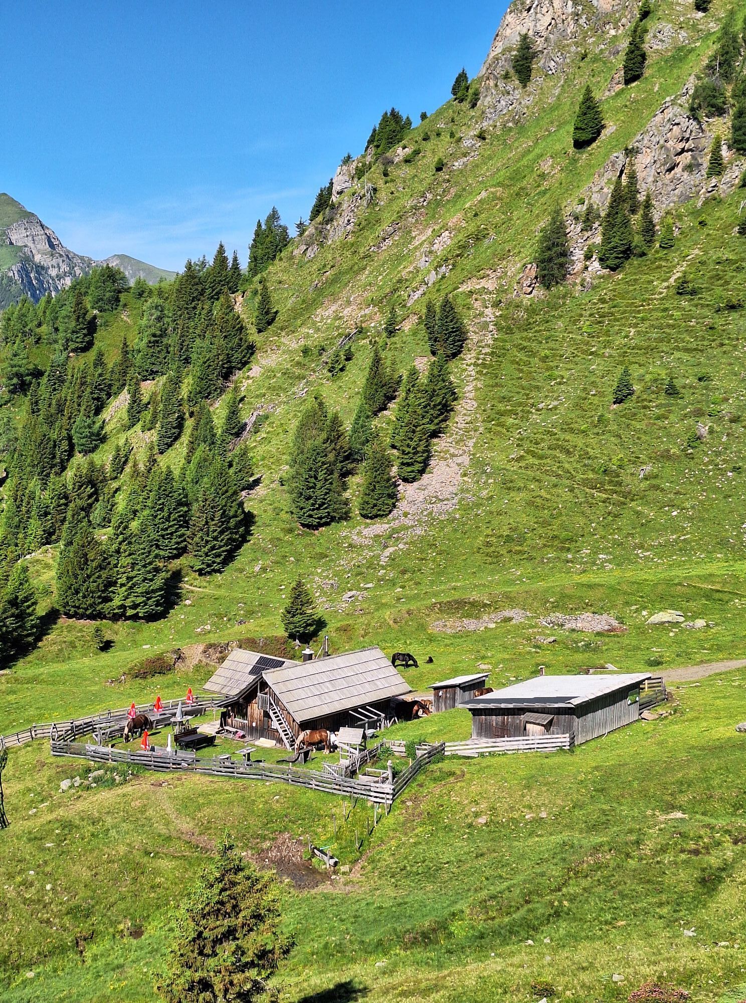
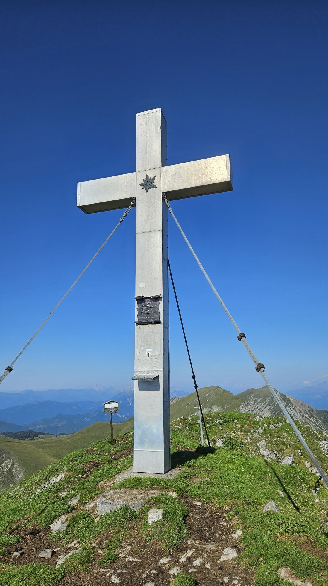
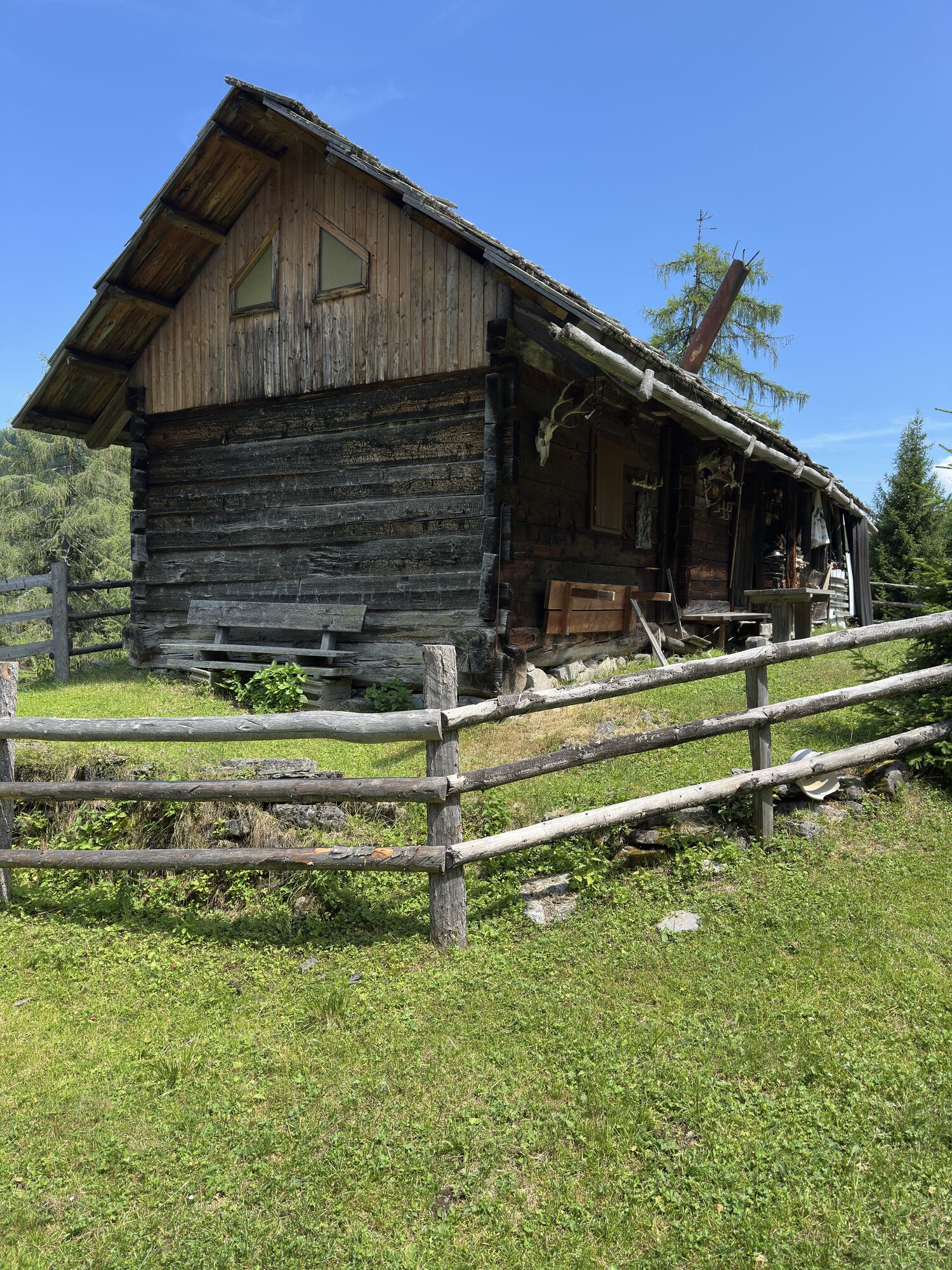
hut once again and climb to the top of Goldeck (2142 m) and then return to the departure point.
Tak
Tak
An important condition for the success of a hike is the study of the maps and optimal equipment. The basic equipment is fitting climbing boots and a water repelling and windproof jacket and trousers (rain shelter). Sun glasses, mobile phone and a first aid package should be in your backpack.
144 ambulance service
140 alpine emergency call
112 European emergency number
by car to the Goldeck car park
Tip don’t forget to take something to drink!
Kamery internetowe z trasy

Popularne wycieczki w okolicy
-
5,0
W10 - Large lake round - Weissensee
ciężkiMountainbike 31,5 km -
4,7
W5 - Naggler Alm Round Weissensee
średniMountainbike 15,8 km -
4,9
Slow Trail Weissensee
średniWędrówka 6,69 km -
4,5
RW_N9 Weißenbachklamm
średniWędrówka 7,49 km -
4,9
Weissensee Ost- nach Westufer
światłoWędrówka 10,2 km -
4,9
Parkplatz Seetal - STAFF und retour
średniWędrówka 13,2 km -
4,8
Weiße Wand - Alm hinterm Brunn
Mountainbike 22,1 km -
4,6
Bergstation Weißensee bis Golz
średniWędrówka 14,8 km -
5,0
Bodenalm - Ostufer - mit dem Schiff zurück
Mountainbike 19,1 km -
4,4
WY_W2 hike to the Alm behind the Brunn
średniWędrówka zimą 3,04 km
Wędrówki i tropienie


Nie przegap ofert i inspiracji na następne wakacje
Twój adres e-mail została dodana do listy mailingowej.





