







Frauenstein Castle - Kraiger castles - Zwein - Eggen (24)

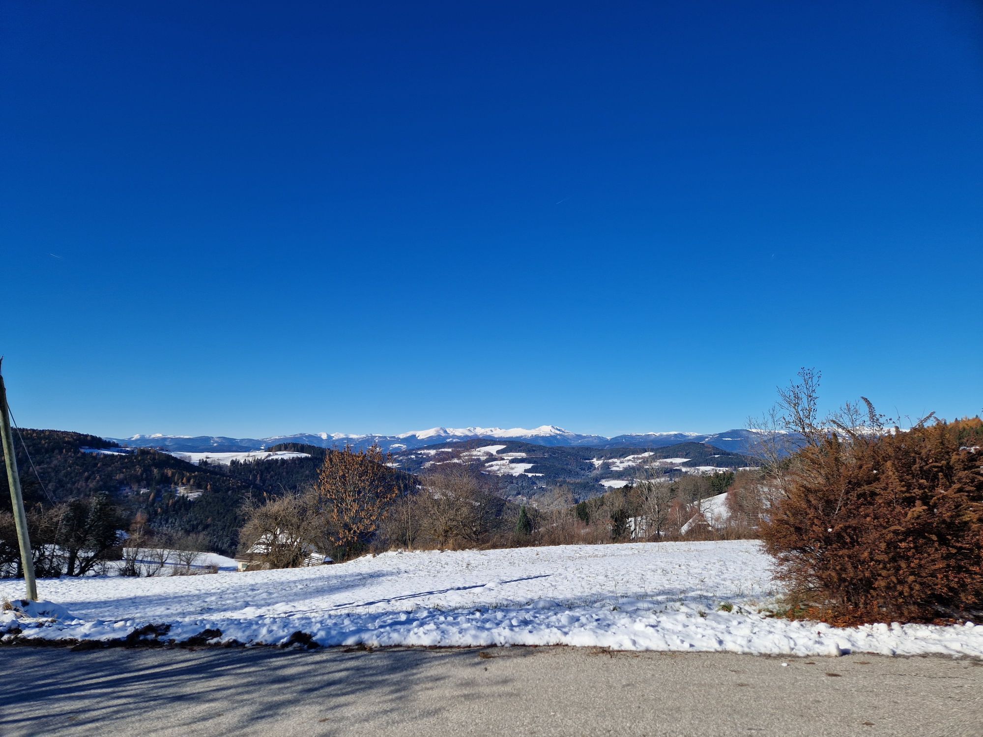
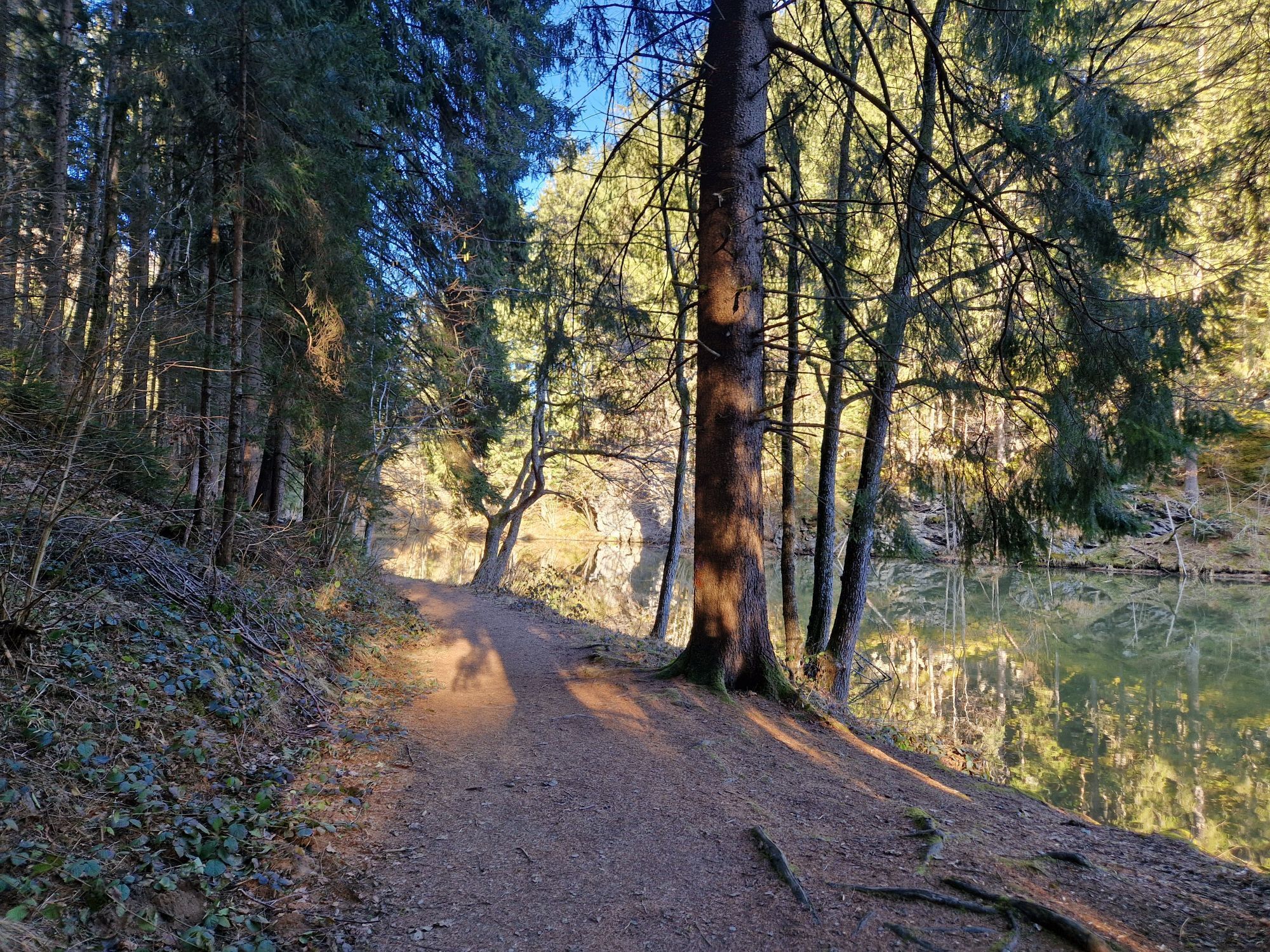
Starting from Frauenstein Castle, the hiking trail leads through the idyllic Kraiger lake valley, past the Frauenstein ponds and the Niederkraig ruins. At the well-preserved old aqueduct, turn north/left...
Starting from Frauenstein Castle, the hiking trail leads through the idyllic Kraiger lake valley, past the Frauenstein ponds and the Niederkraig ruins. At the well-preserved old aqueduct, turn north/left and take the path up the hill towards Eggen. On the Schlossbauer meadow and at the Zietner inn, you can enjoy wonderful views before the path continues through the forest to Eggen.

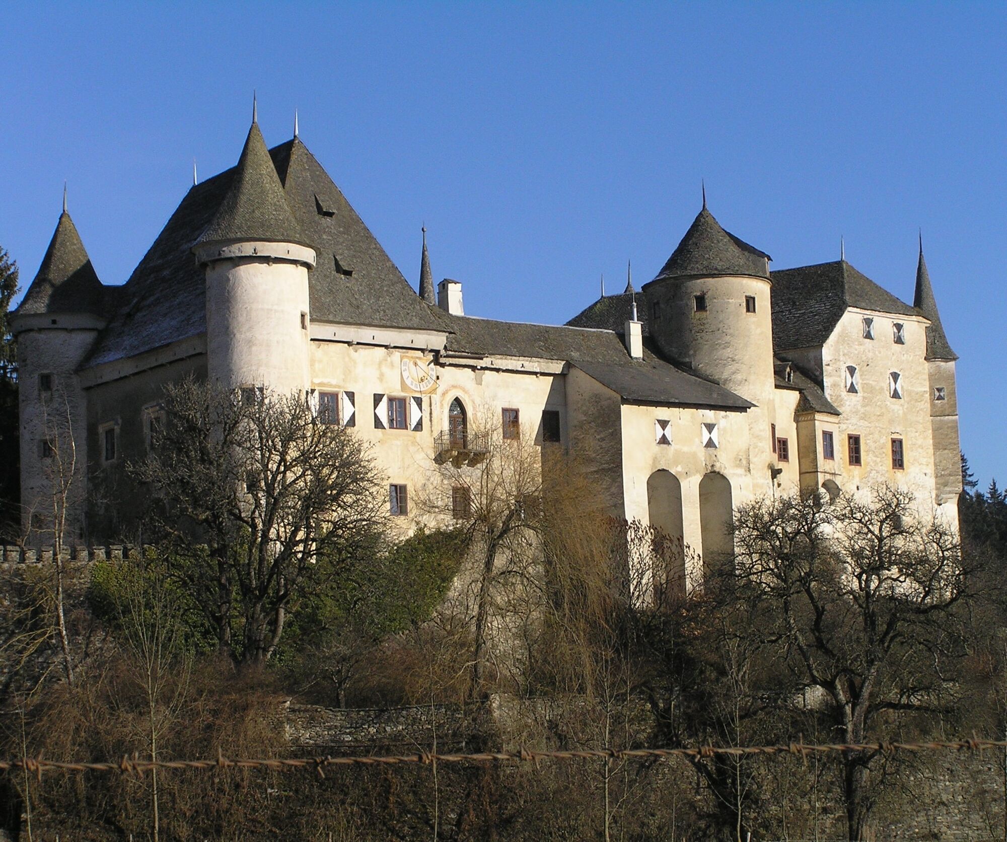
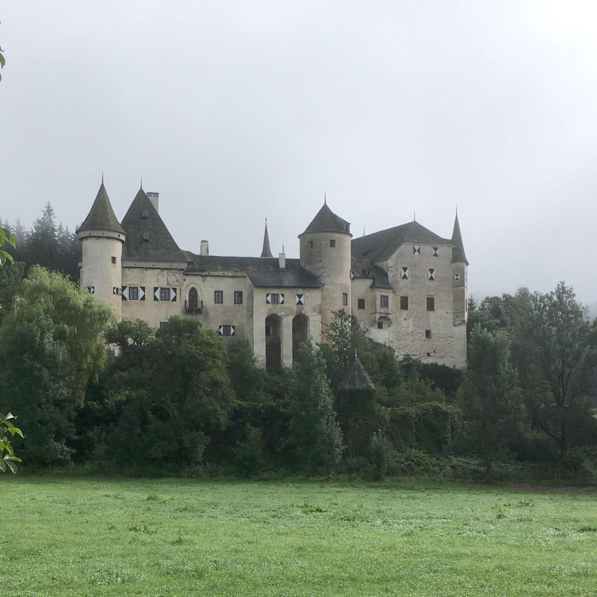
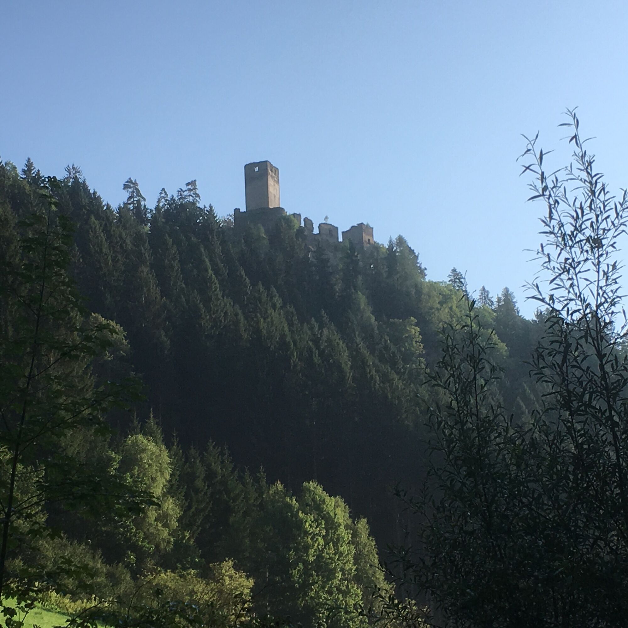
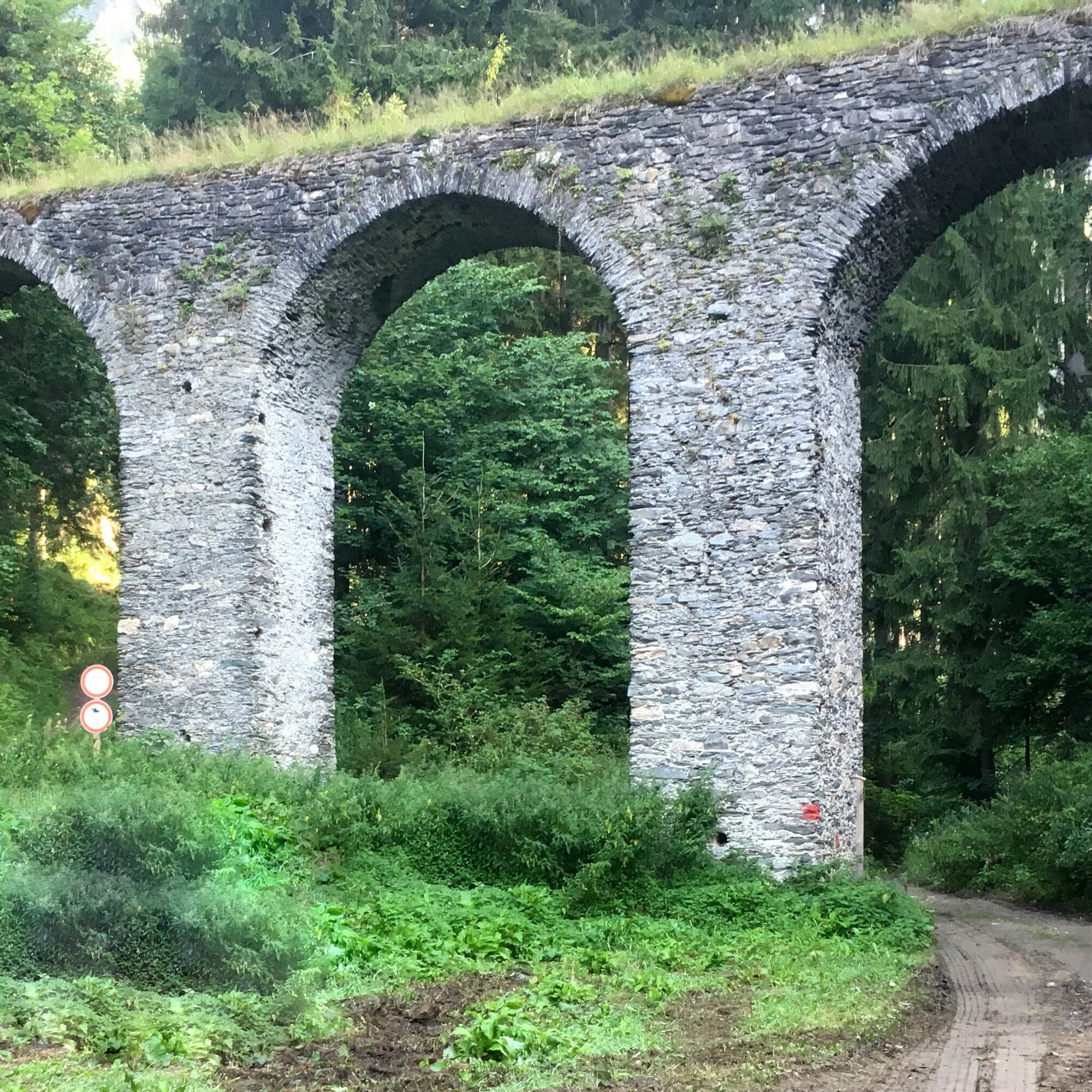
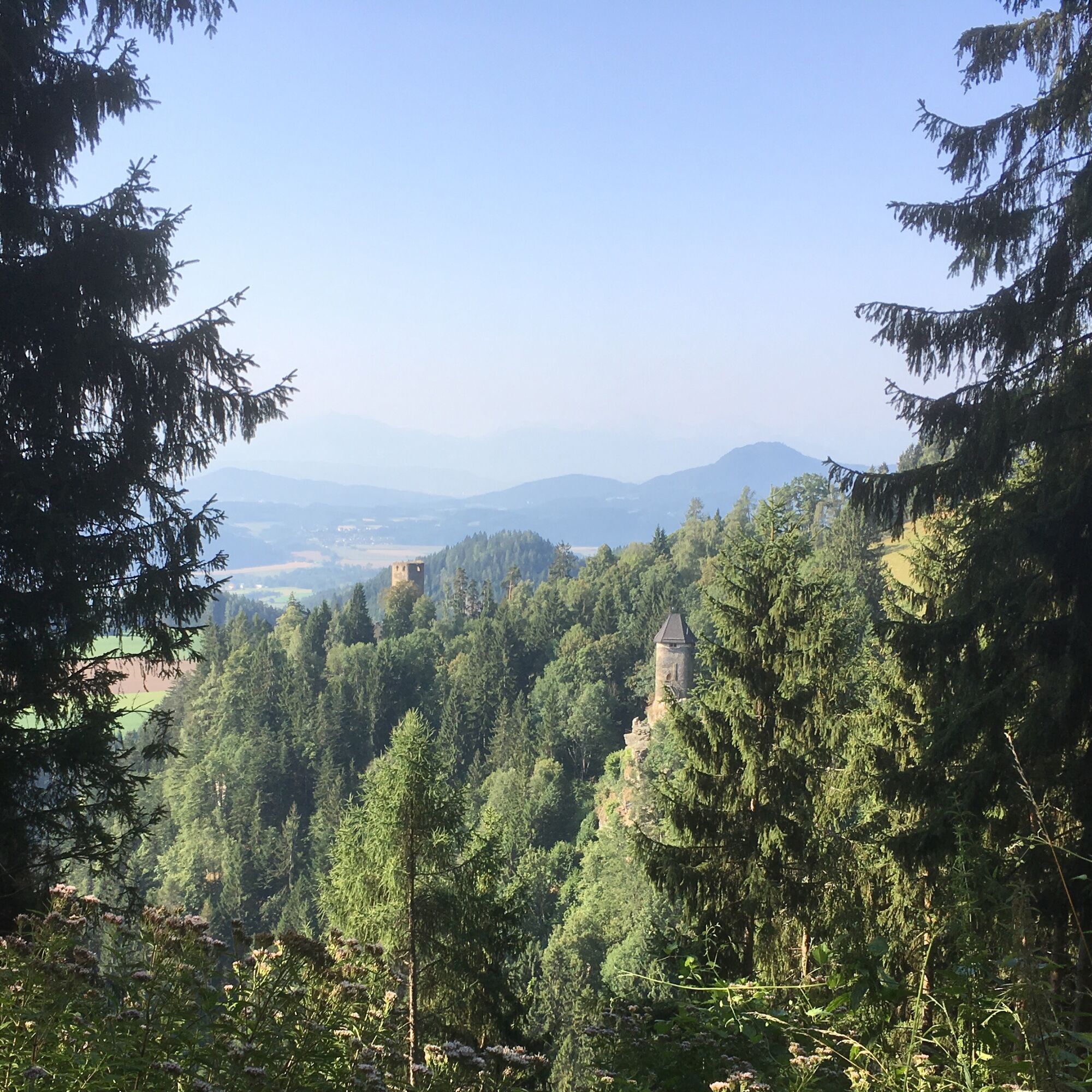
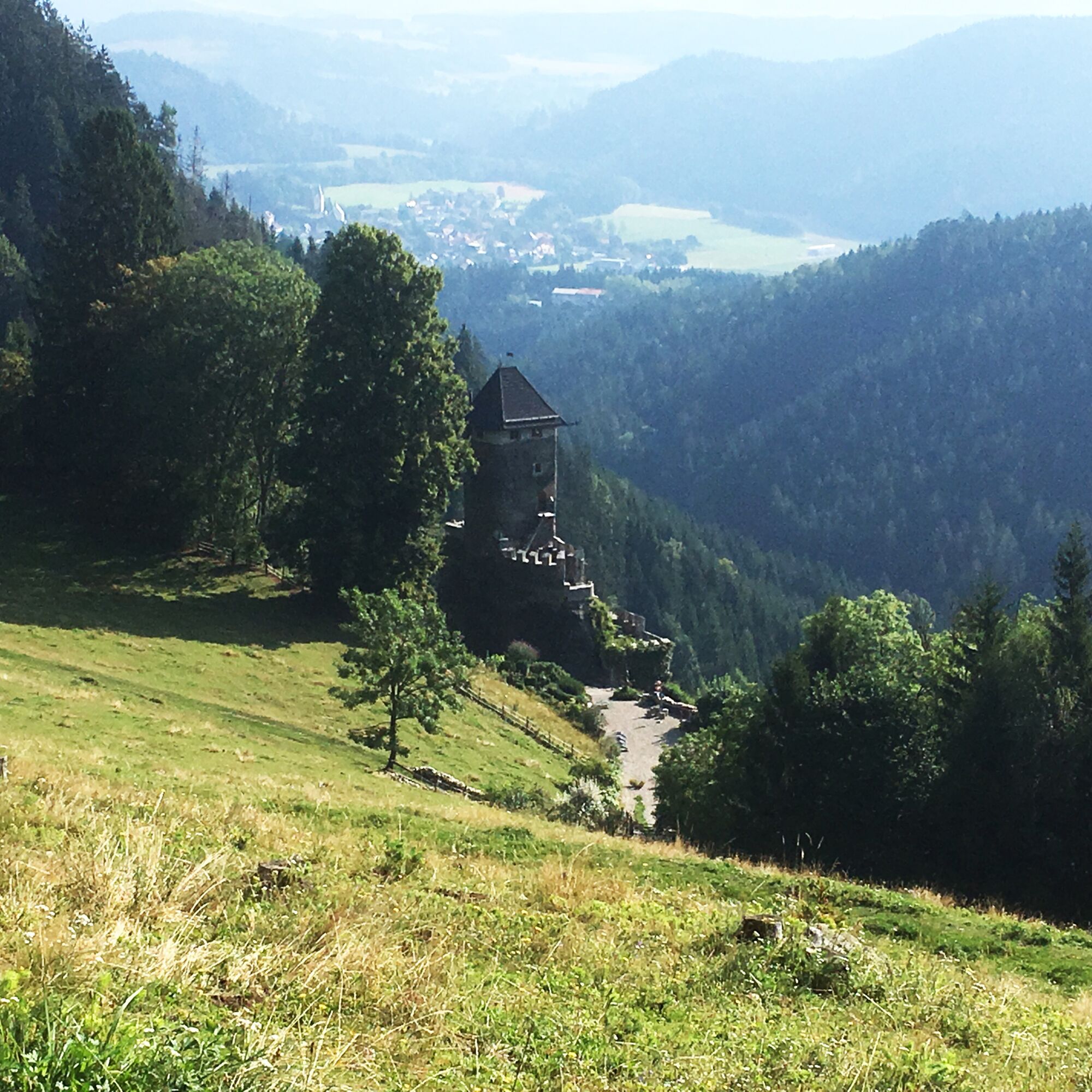
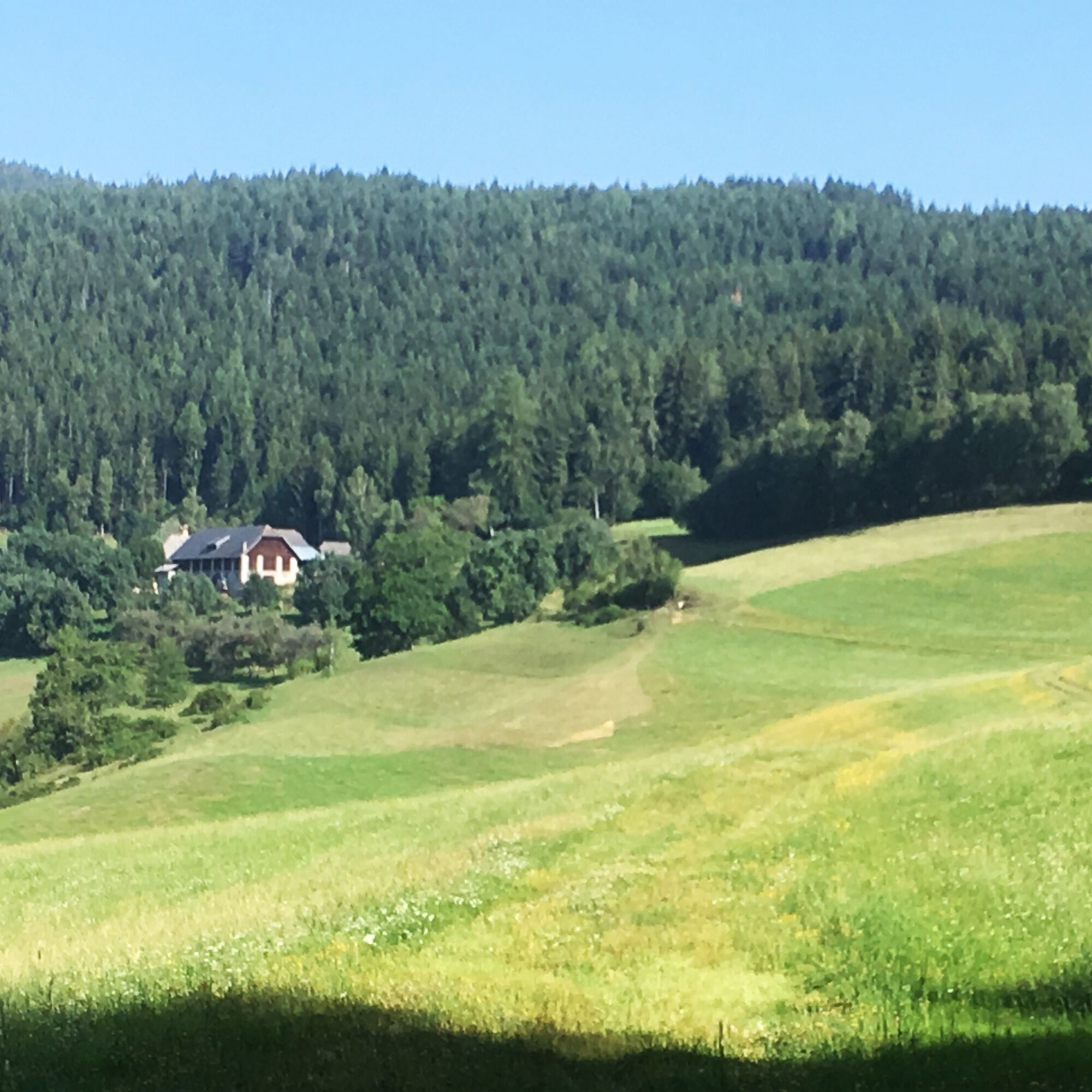
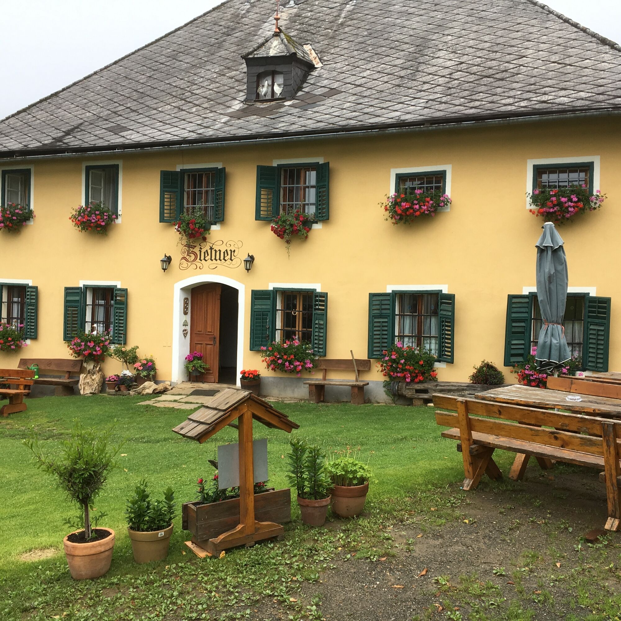
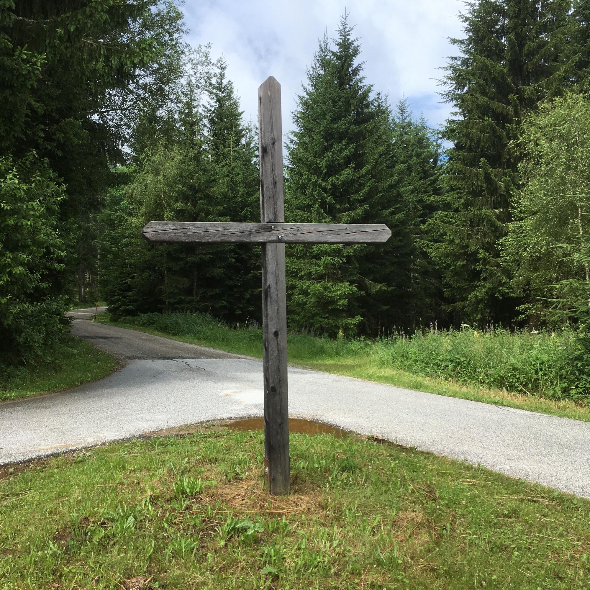
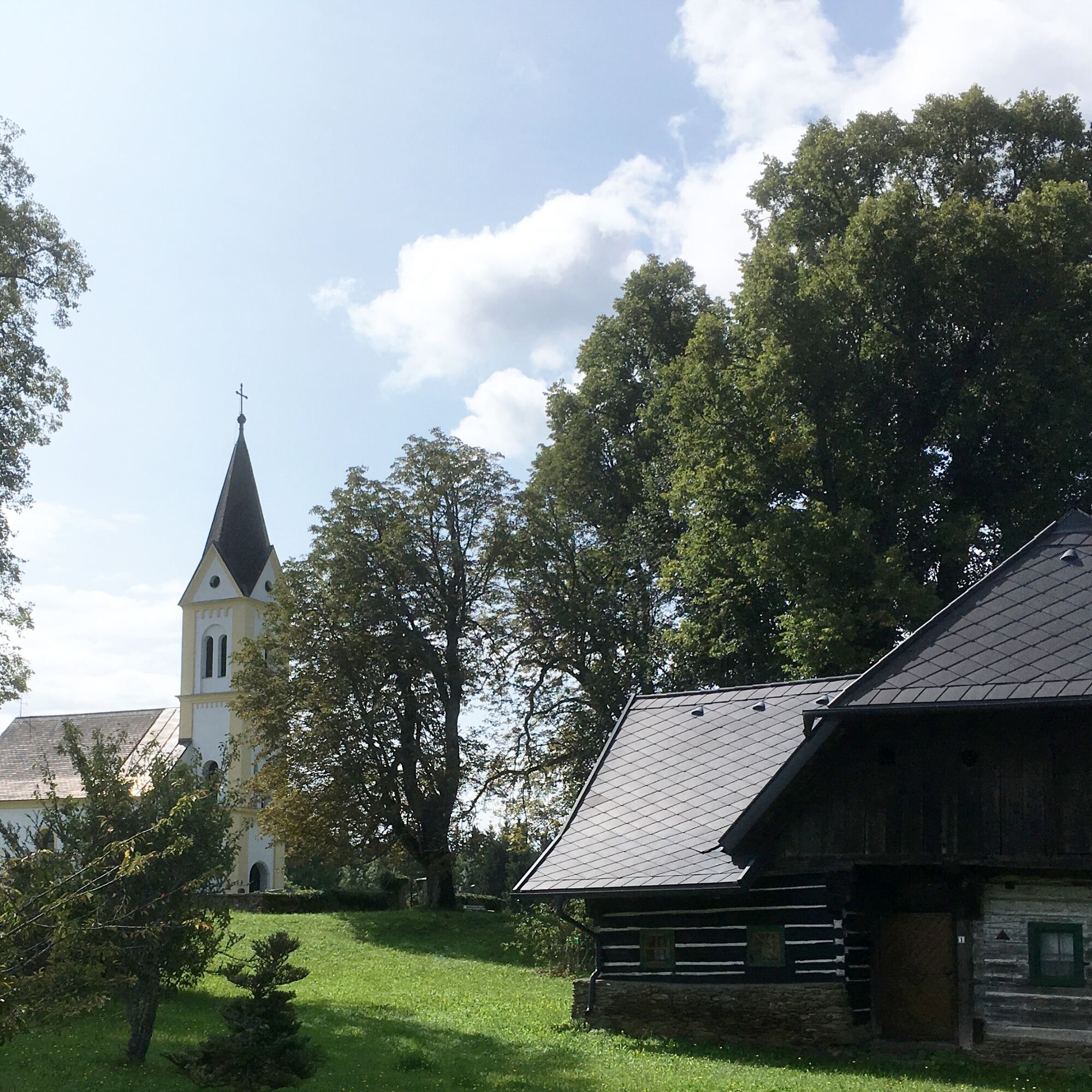

The starting point is Frauenstein Castle - north of the castle, follow the forest path along the Frauenstein ponds to the Kraiger castles. At the aqueduct, keep left and go uphill on the forest path towards Schlossbauer and Zwein. At Schlossbauer, keep right and walk along the forest through a pasture gate over a cattle enclosure (caution with grazing cattle!!). Continue following the signposted forest path and reach the Buschenschank "Zietner". Here you have the opportunity to enjoy not only the beautiful view but also a good snack. Now follow north of the country road until you reach a fork with a large wooden cross. Here keep right and walk along the asphalt road until you reach Eggen. Past the Evangelical Church, you finally arrive at your destination, the Raunig inn.
Tak
Sturdy footwear and clothing adapted to the season.
inform someone where you are going
From St. Veit via Obermühlbach to Frauenstein Castle
see Oebb route planner
There are shaded parking spaces at Frauenstein Castle
can be found in the information office
Kraiger castles


Popularne wycieczki w okolicy
- 4,8
Abenteuer-Wasser-Weg
średniWędrówka 9,13 km - 4,7
Vierbergelauf
średniTrasa pielgrzymki 47,6 km - 4,6
Ulrichsberg
światłoWędrówka 5,60 km - 4,4
Certified hiking trail: Guttaring - Mariahilferweg - permanent IVV hiking trail
średniWędrówka 11,2 km - 3,7
Kunstwanderweg rund um den Längsee (1)
światłoWędrówka 5,43 km - 4,4
Magdalensberg von St.Donat
światłoWędrówka 9,28 km - 4,0
MAGDALENSBERG RUNDWANDERUNG
średniWędrówka 11,7 km - 4,1
Schloss Frauenstein - Kraiger lake circular route
średniWędrówka 6,96 km - 4,0
Around the Buchberg (6)
średniWędrówka 8,79 km - 4,7
Through the Wolschart Forest (8)
średniWędrówka 9,98 km
Wędrówki i tropienie


Nie przegap ofert i inspiracji na następne wakacje
Twój adres e-mail została dodana do listy mailingowej.





