


Groppenstein and Rabisch Gorge
Zdjęcia naszych użytkowników
 © Andy Schweiger 1Utworzono dnia 26.05.2024
 © Anita ObermoserUtworzono dnia 14.04.2026
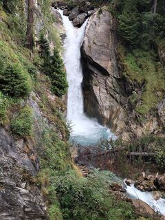
 © VladkaUtworzono dnia 28.08.2025
 © VladkaUtworzono dnia 28.08.2025
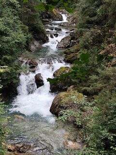 © VladkaUtworzono dnia 28.08.2025
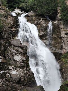 © VladkaUtworzono dnia 28.08.2025
 © VladkaUtworzono dnia 28.08.2025
 © JPseinesUtworzono dnia 19.08.2025
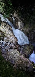 © JPseinesUtworzono dnia 19.08.2025
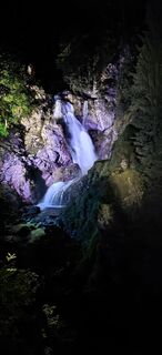 © JPseinesUtworzono dnia 19.08.2025
 © JPseinesUtworzono dnia 19.08.2025
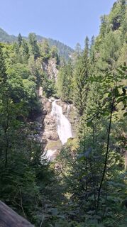
 © Katl23Utworzono dnia 13.08.2025
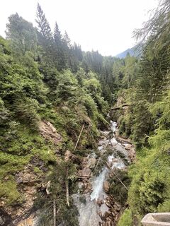
 © Andre' RobitschUtworzono dnia 06.07.2025
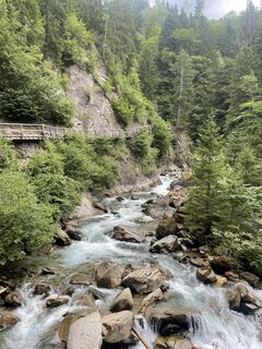 © Andre' RobitschUtworzono dnia 06.07.2025
 © Andre' RobitschUtworzono dnia 06.07.2025
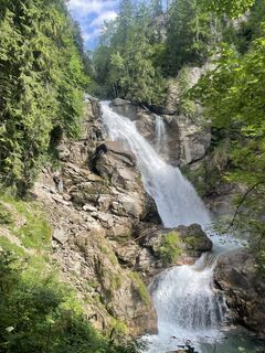 © Andre' RobitschUtworzono dnia 06.07.2025
 © Andre' RobitschUtworzono dnia 06.07.2025
 © Gabriel Paraschiv 1Utworzono dnia 05.07.2025
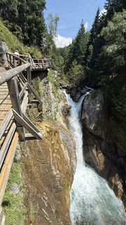 © Gabriel Paraschiv 1Utworzono dnia 05.07.2025
 © Gabriel Paraschiv 1Utworzono dnia 05.07.2025
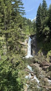 © Gabriel Paraschiv 1Utworzono dnia 05.07.2025
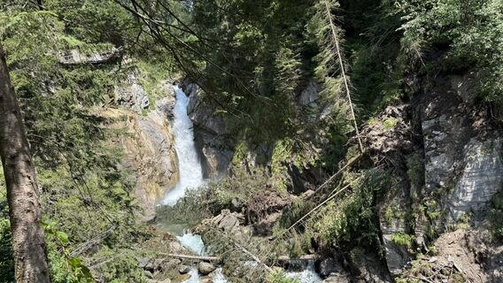 © Gabriel Paraschiv 1Utworzono dnia 05.07.2025
 © Gabriel Paraschiv 1Utworzono dnia 05.07.2025
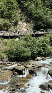 © Gabriel Paraschiv 1Utworzono dnia 05.07.2025
 © Gabriel Paraschiv 1Utworzono dnia 05.07.2025
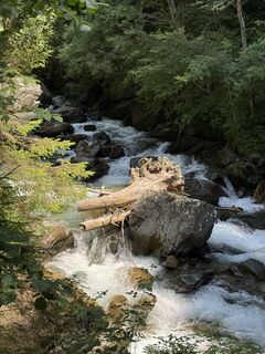 © Gabriel Paraschiv 1Utworzono dnia 05.07.2025
 © Gabriel Paraschiv 1Utworzono dnia 05.07.2025
 © Silvio ErnstUtworzono dnia 17.06.2025
 © Andy Schweiger 1Utworzono dnia 26.05.2024
 © Andy Schweiger 1Utworzono dnia 26.05.2024
 © Andy Schweiger 1Utworzono dnia 26.05.2024
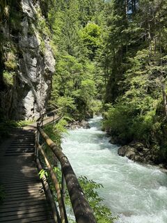 © Andy Schweiger 1Utworzono dnia 26.05.2024
 © Andy Schweiger 1Utworzono dnia 26.05.2024
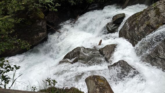
 © Josef KamerunUtworzono dnia 27.06.2023
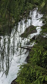 © Josef KamerunUtworzono dnia 27.06.2023
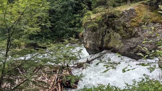 © Josef KamerunUtworzono dnia 27.06.2023

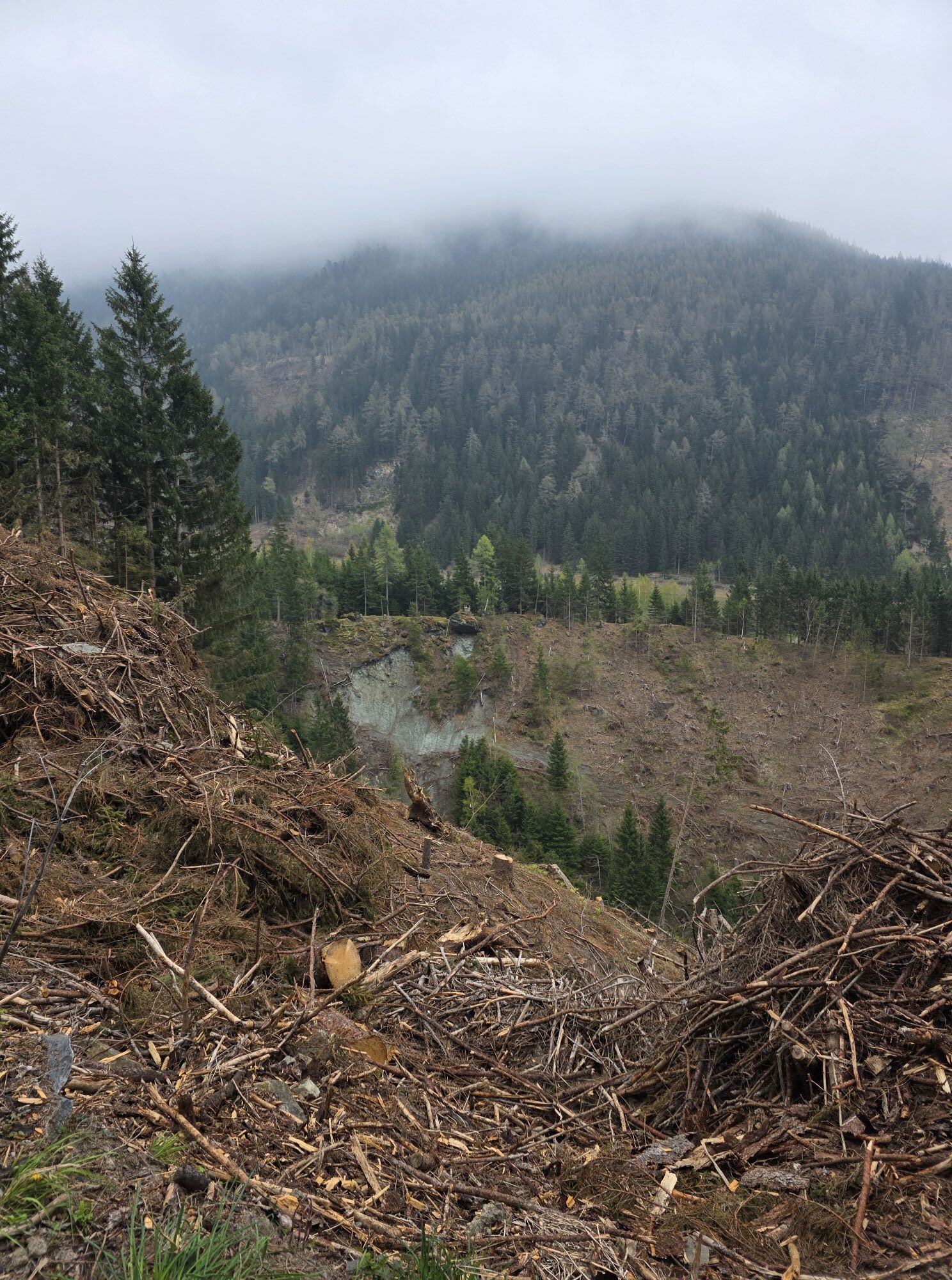

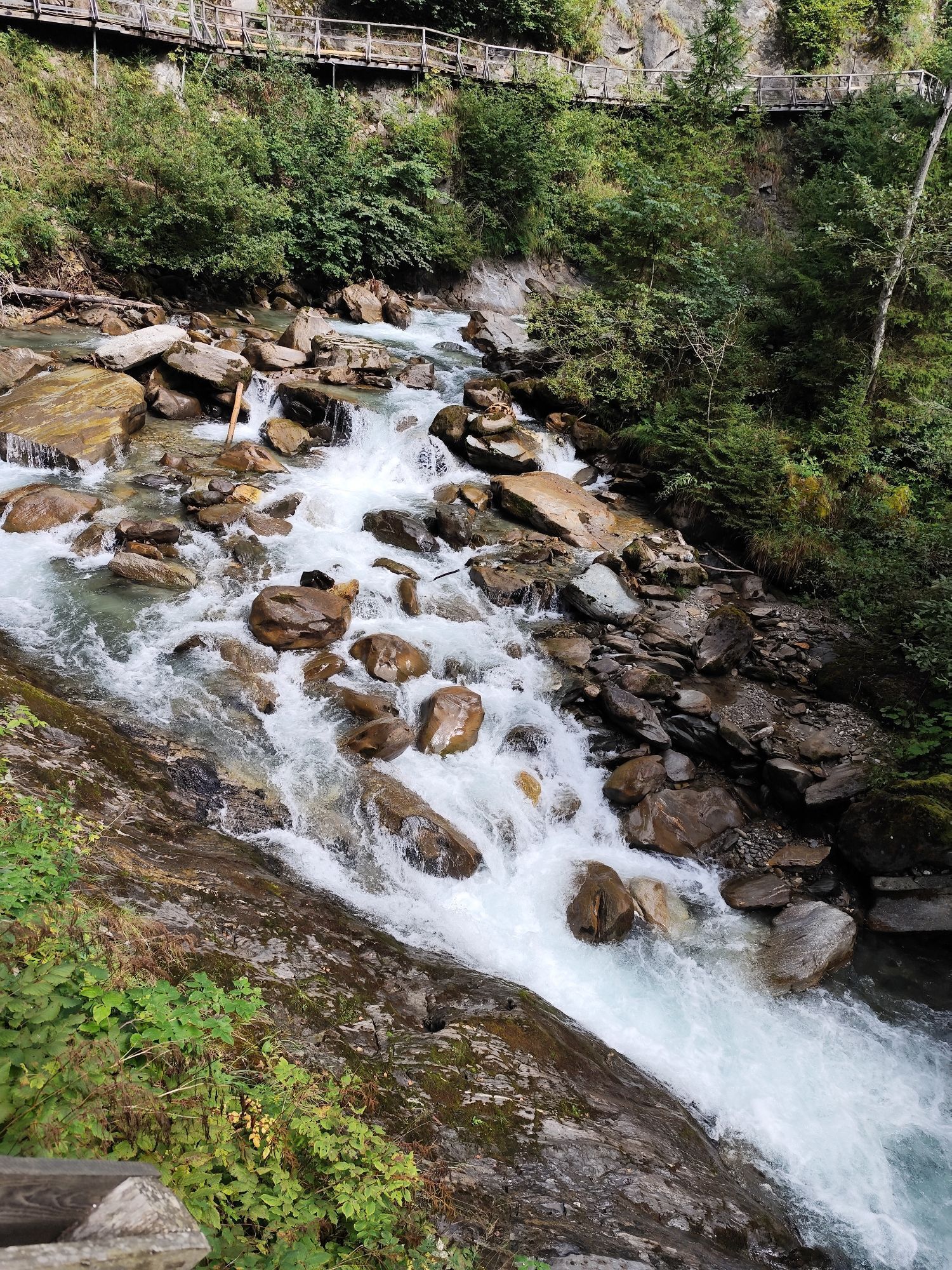
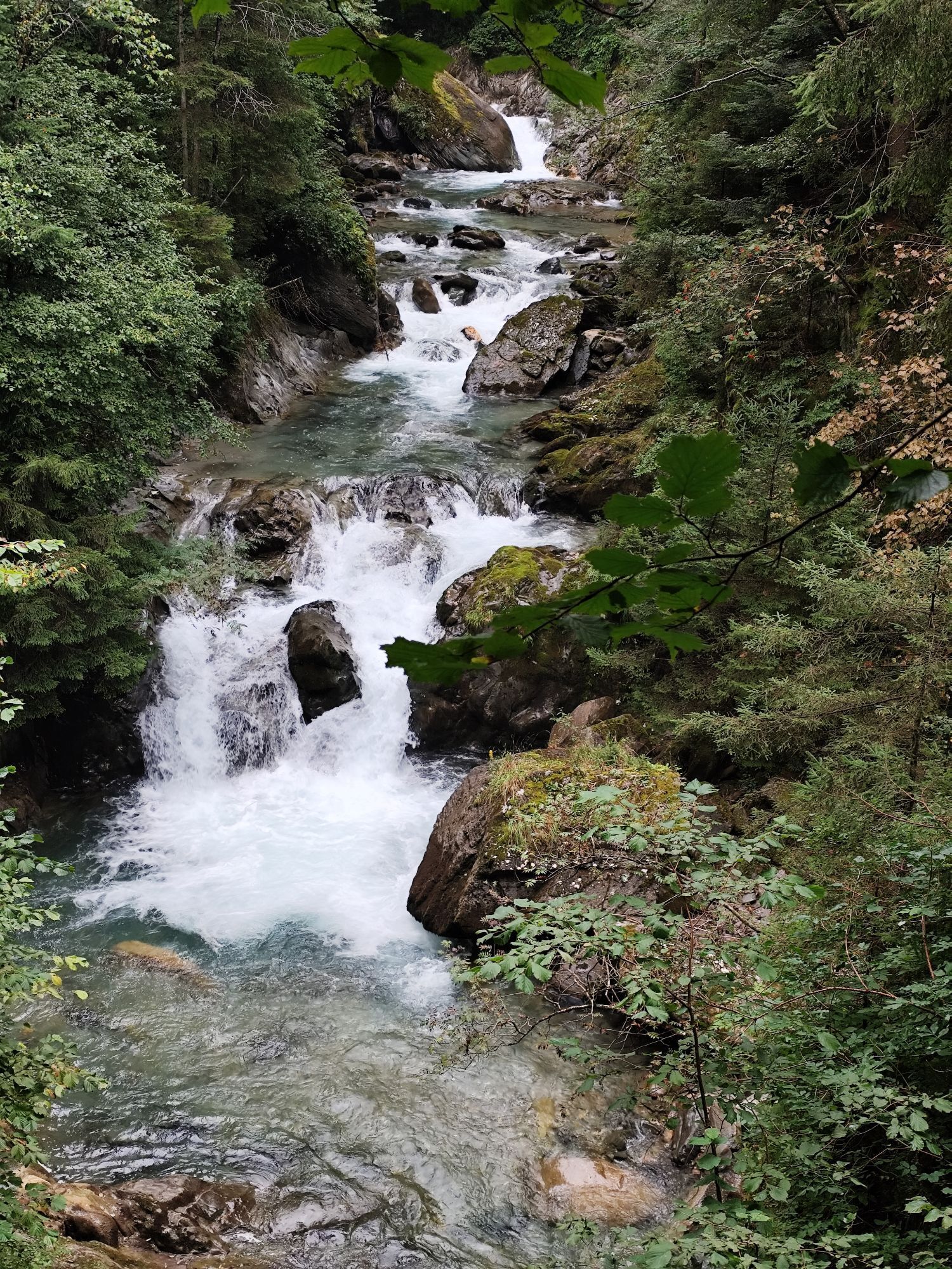
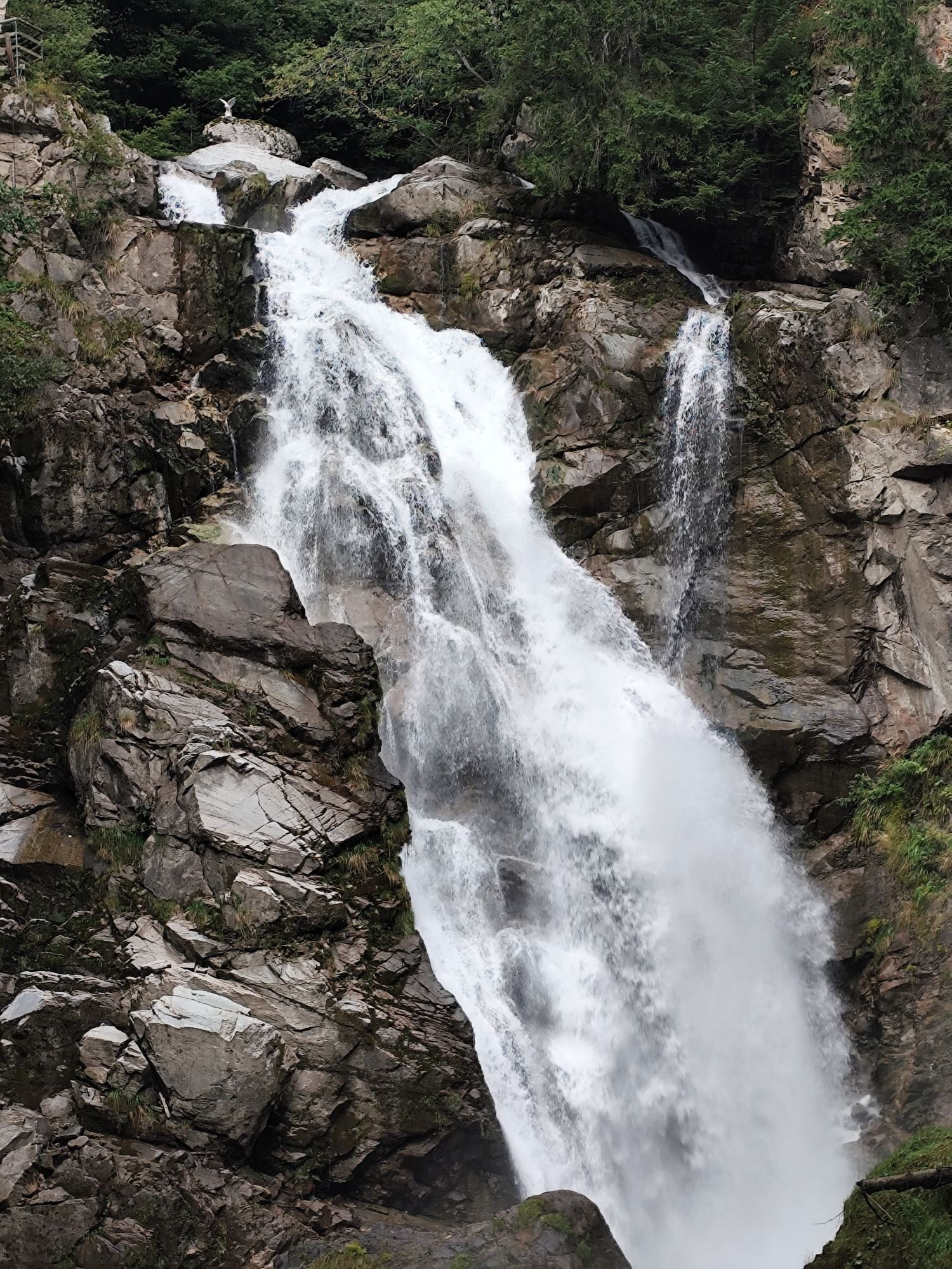
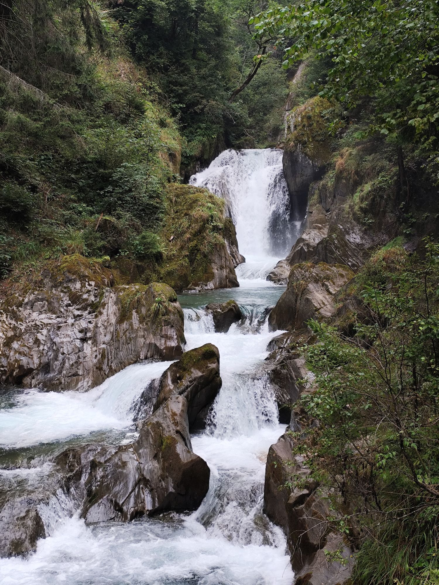
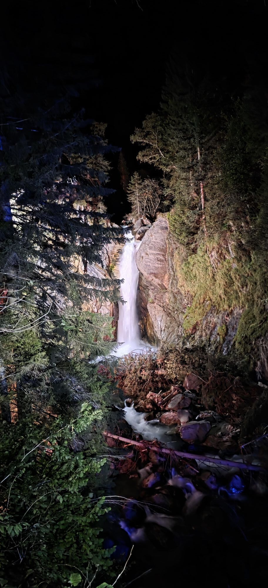
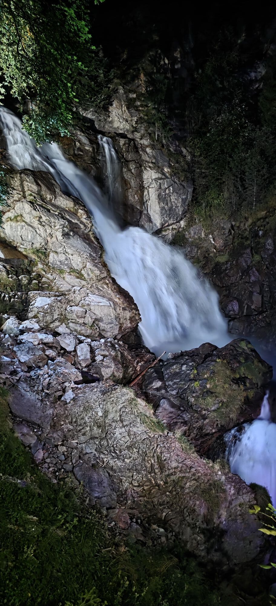
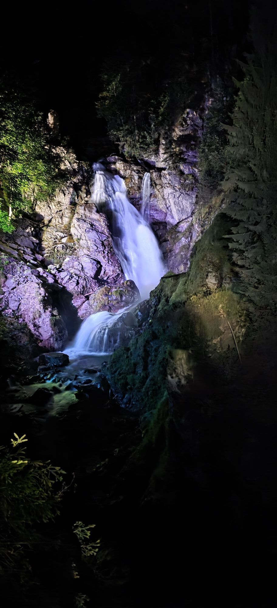
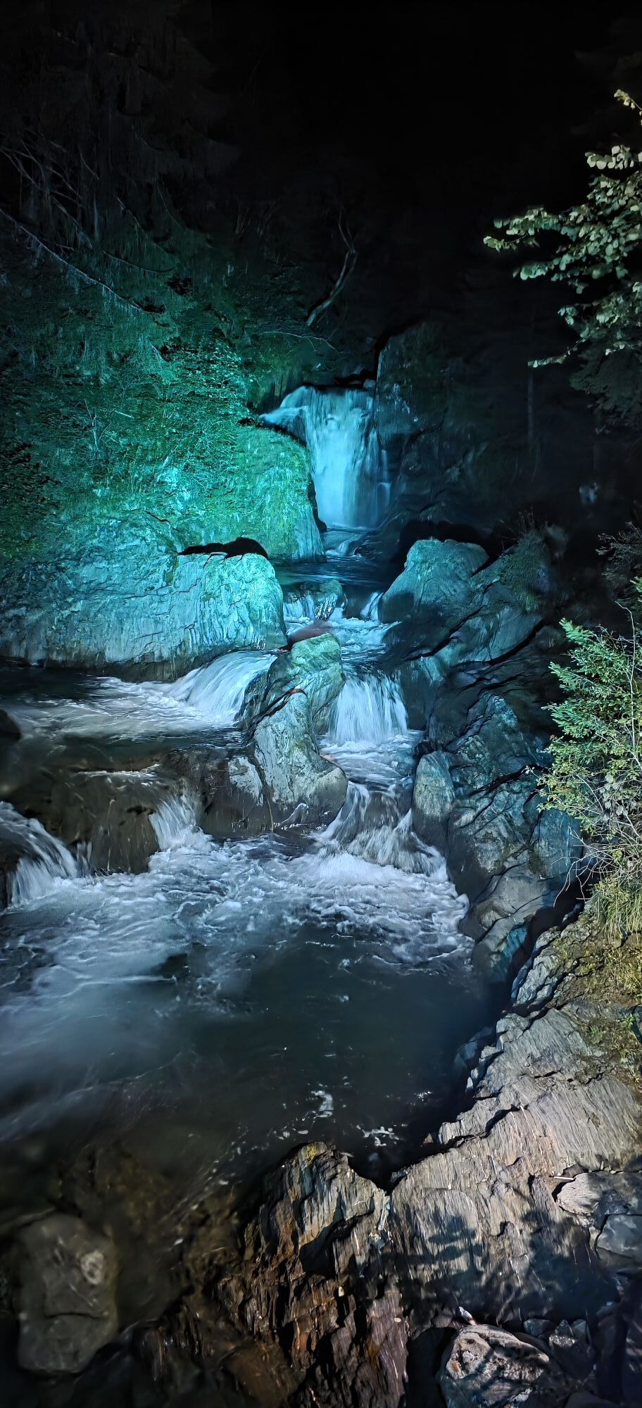
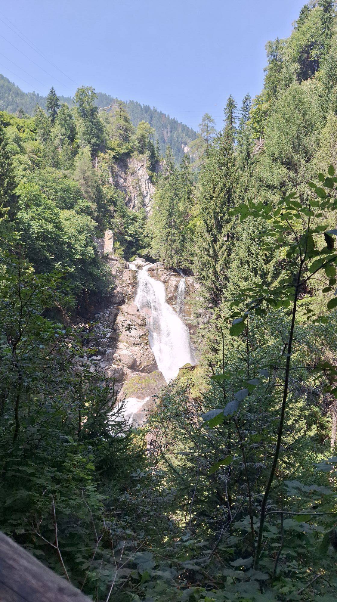

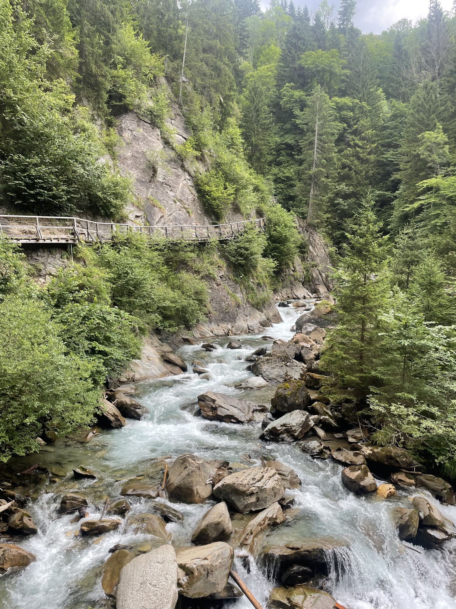
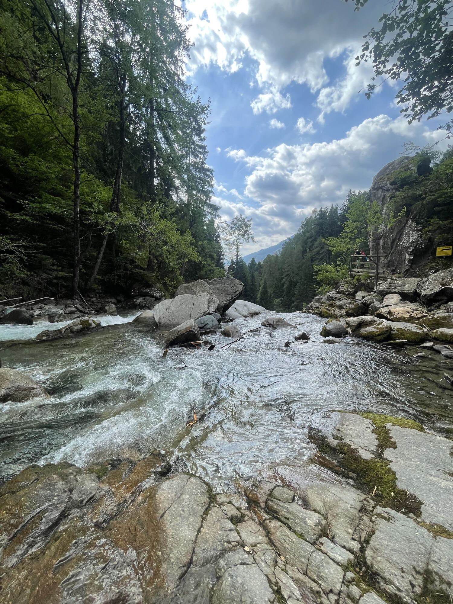
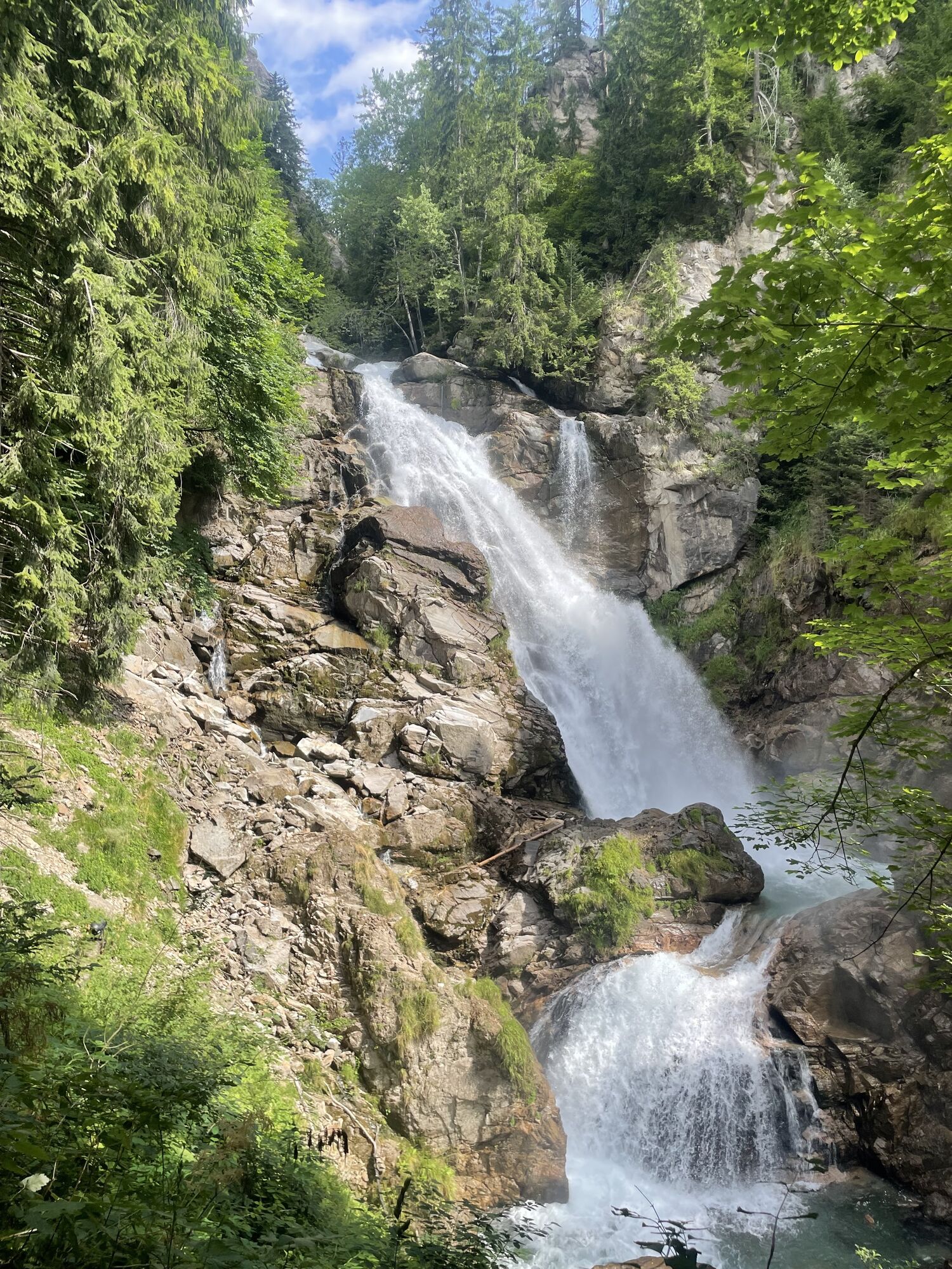
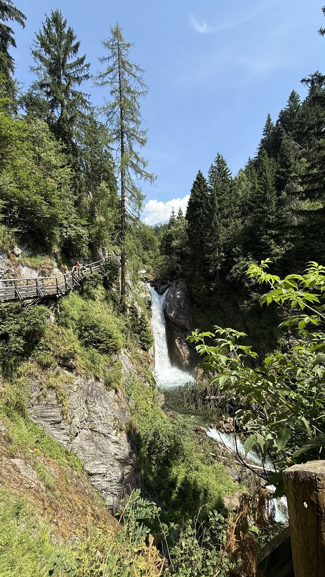

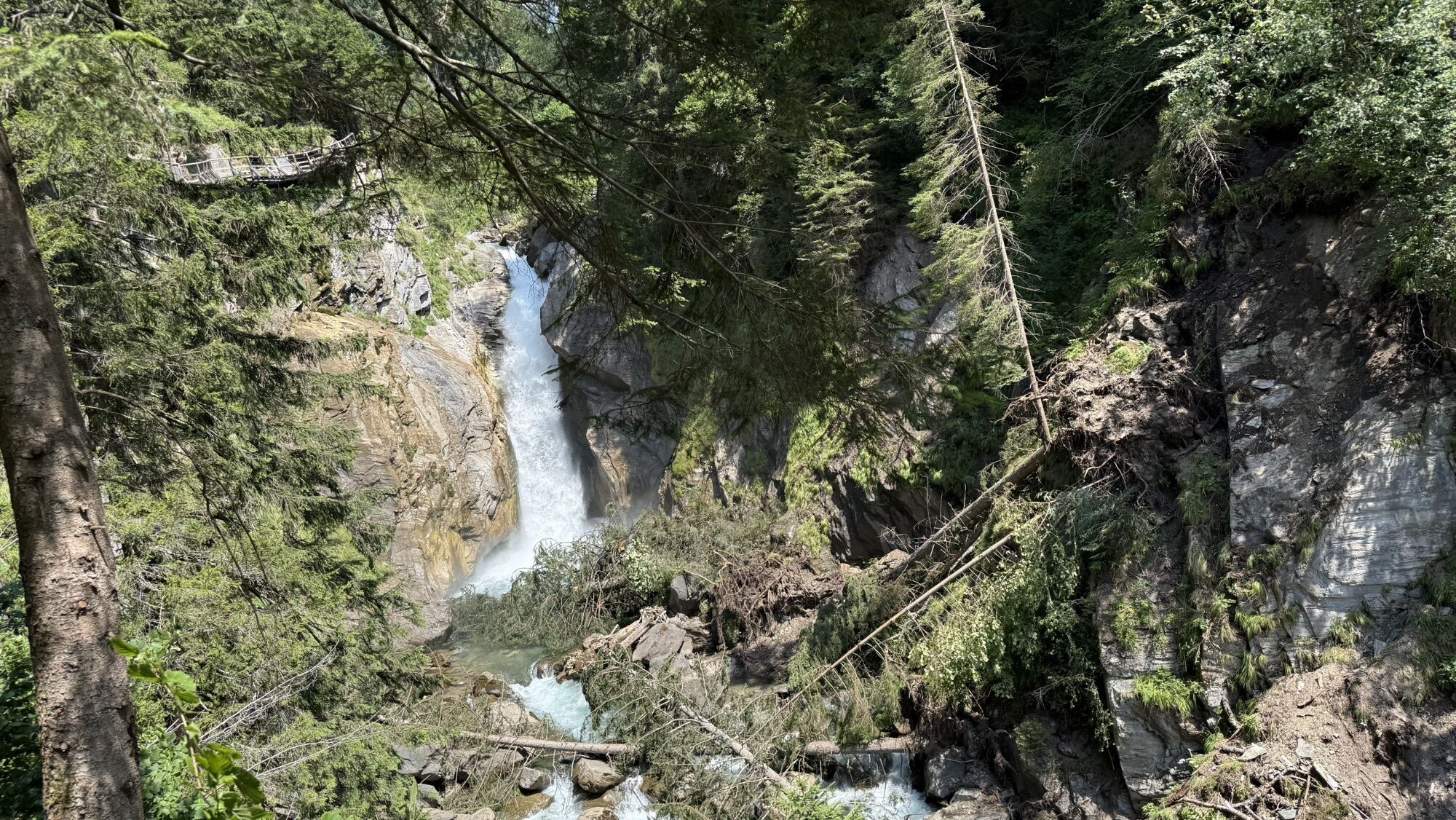
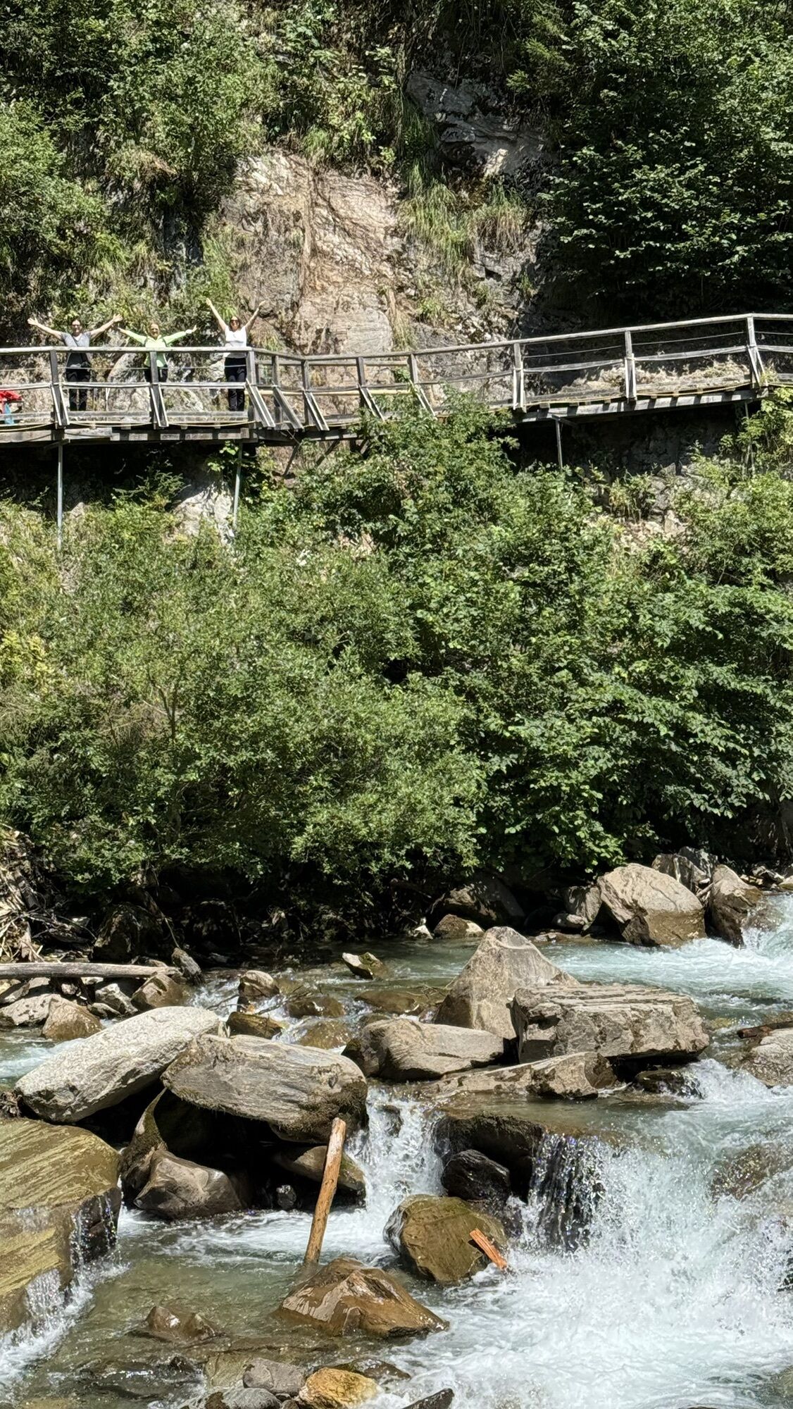
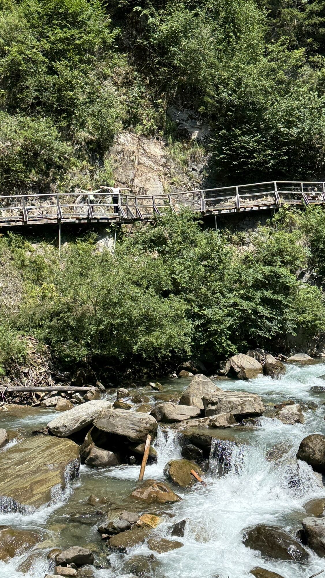
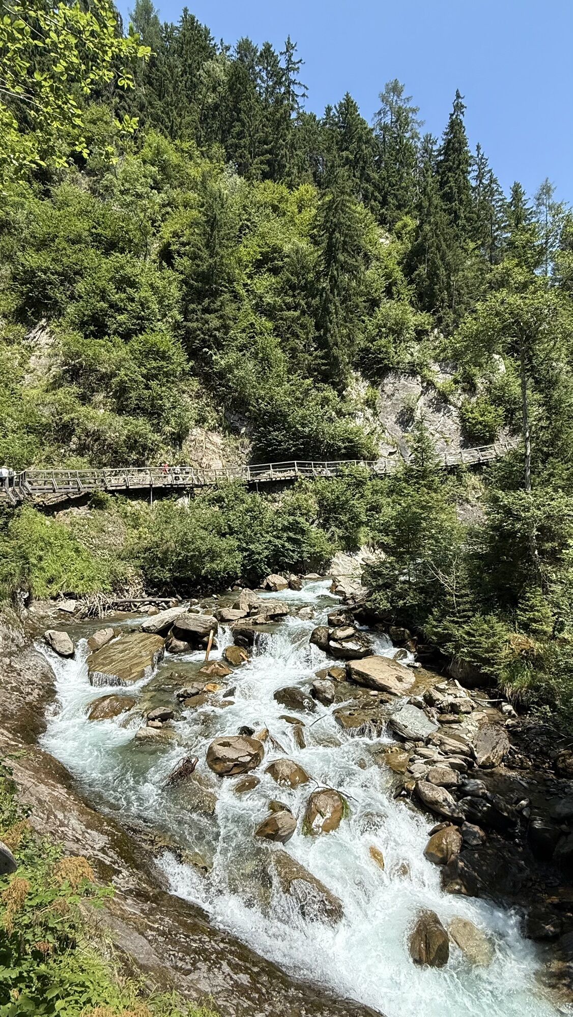

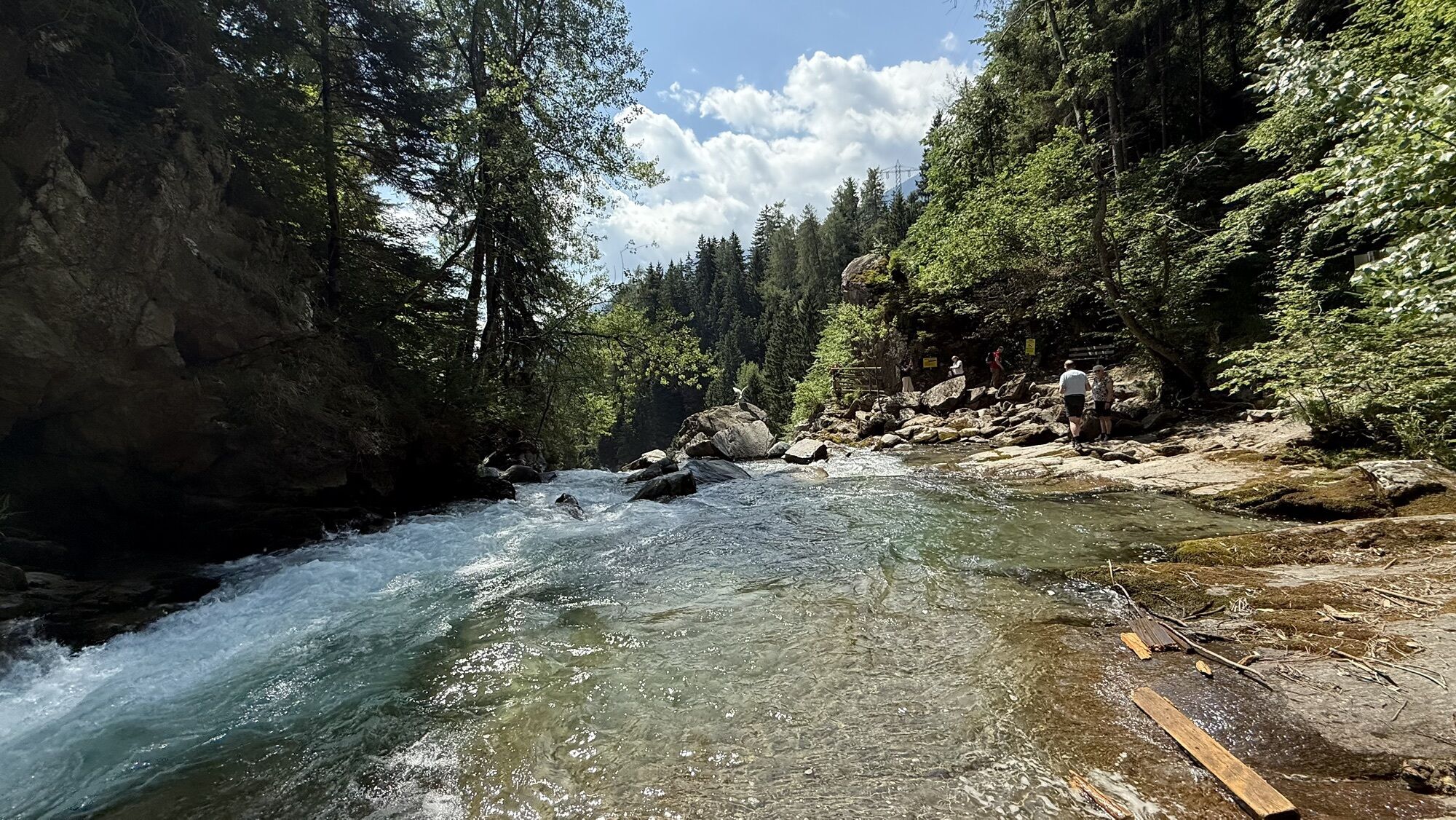
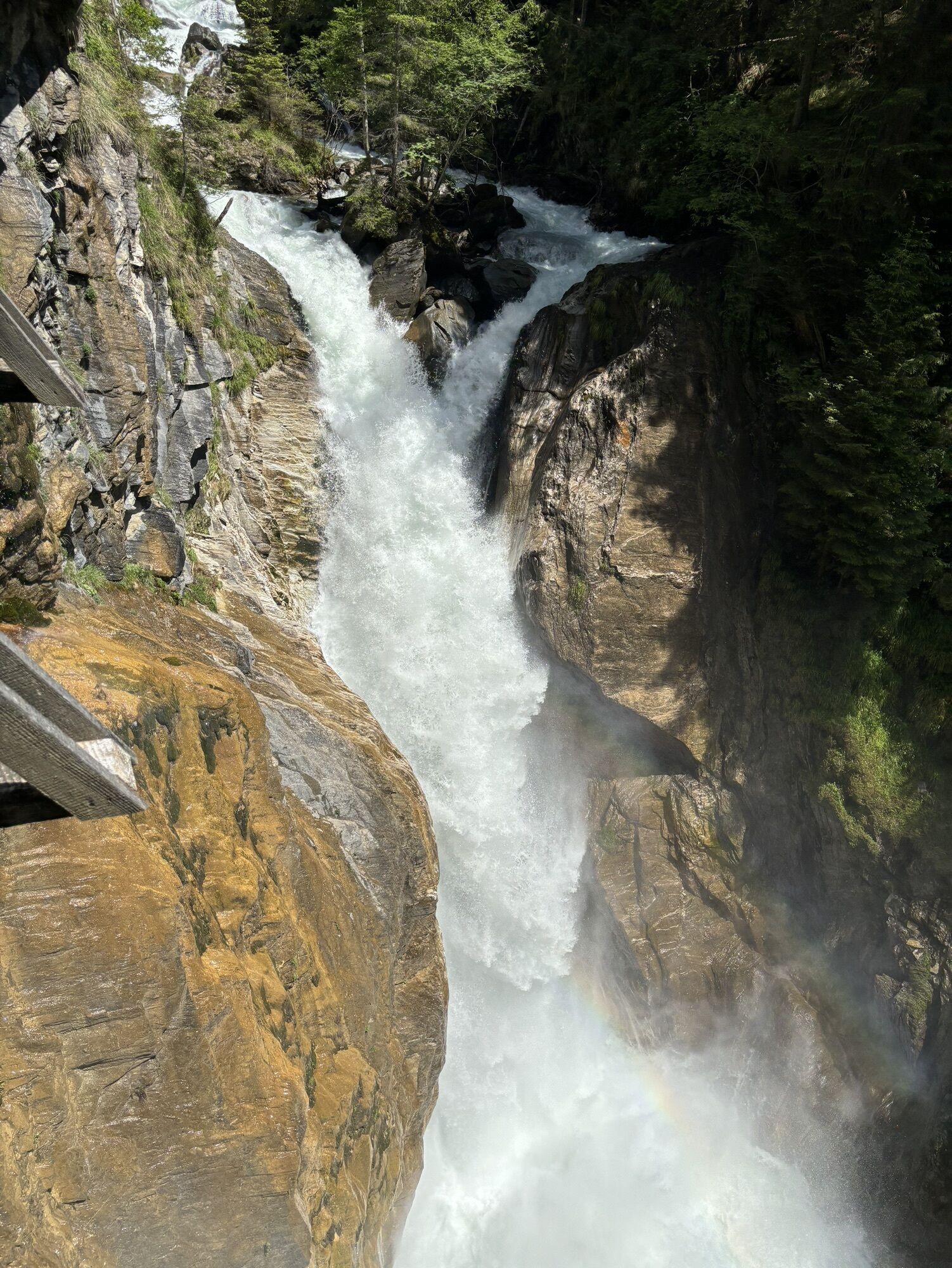
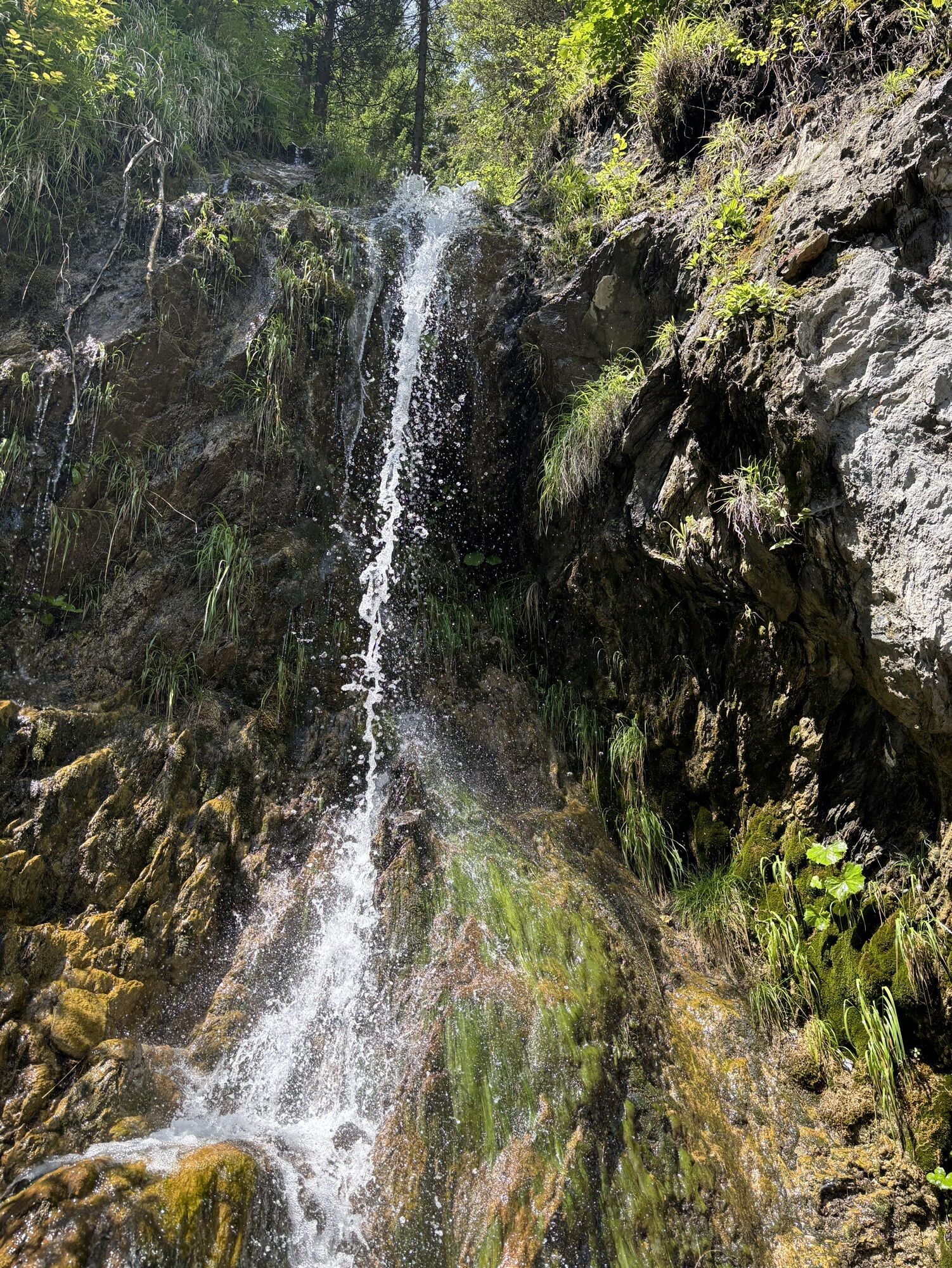

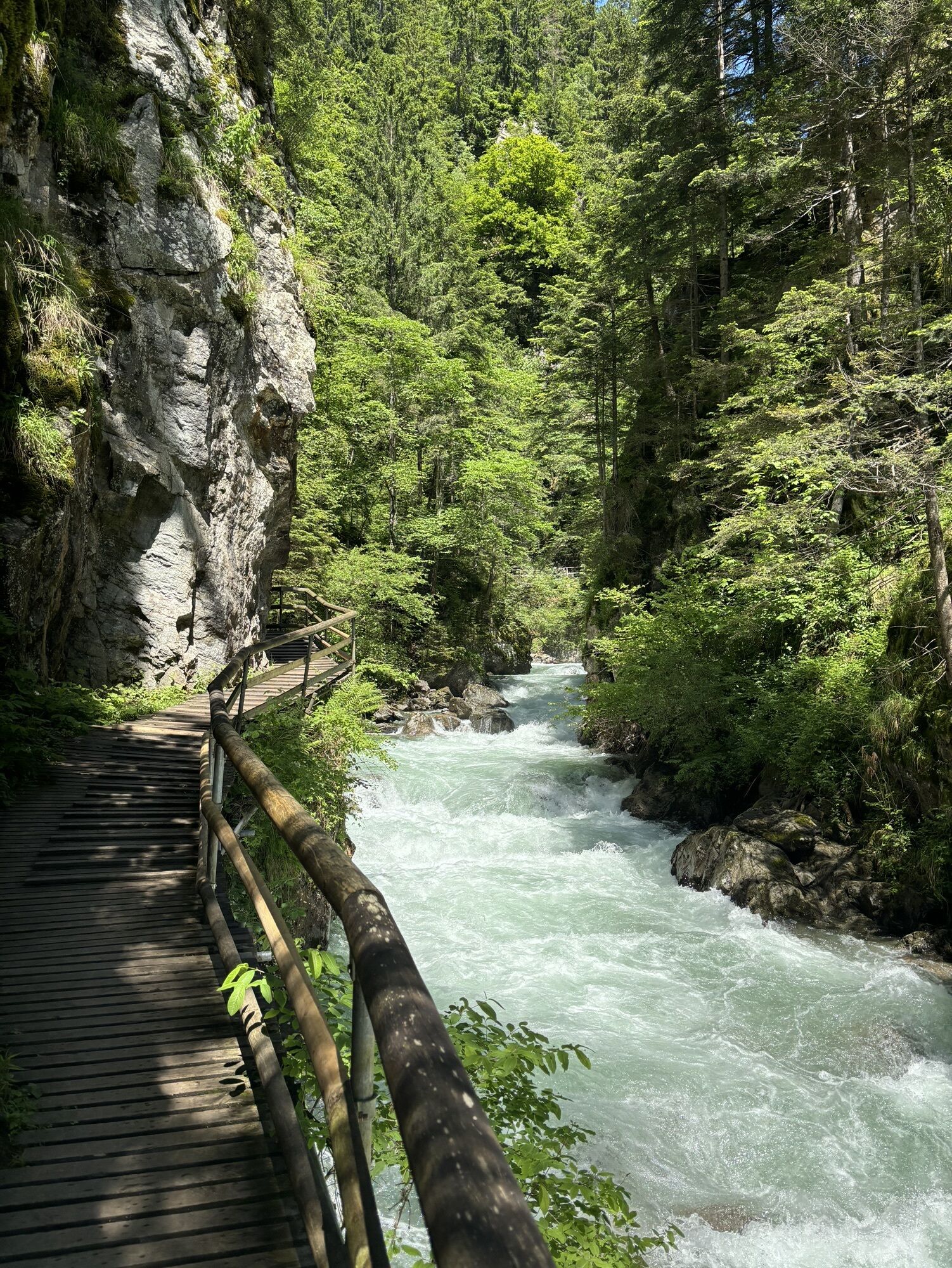
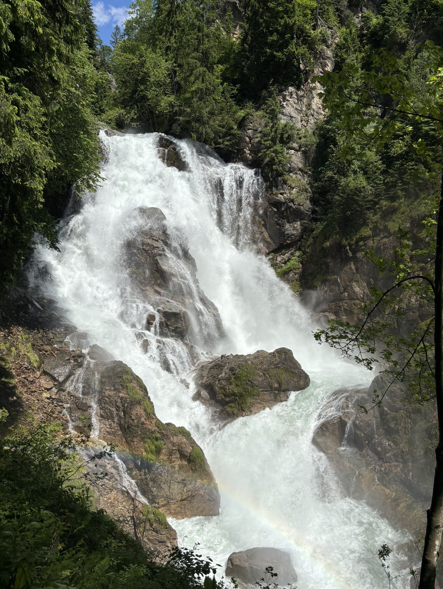


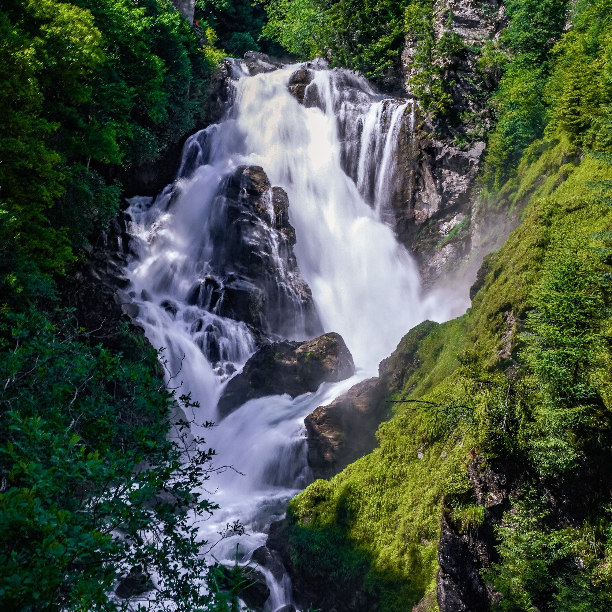
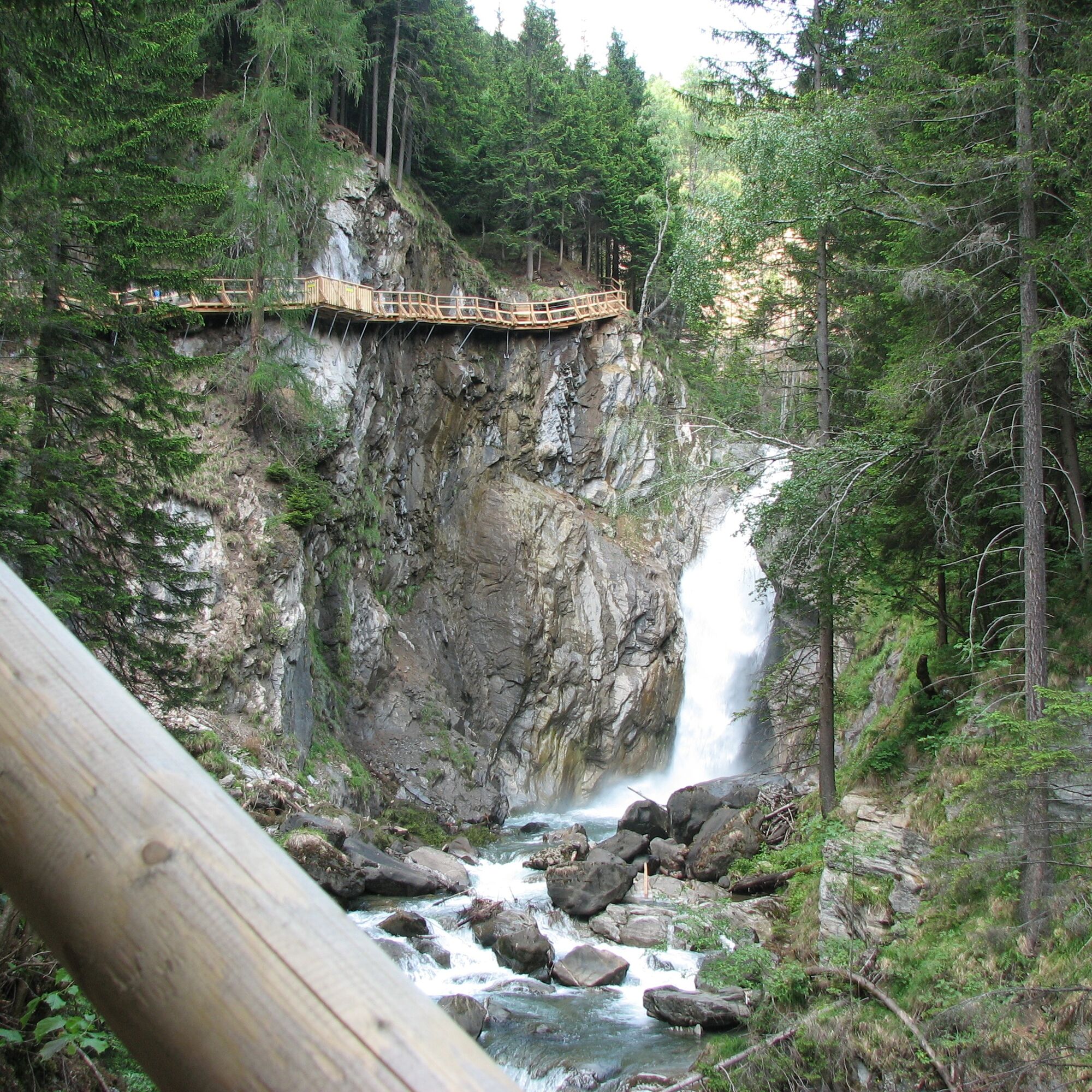
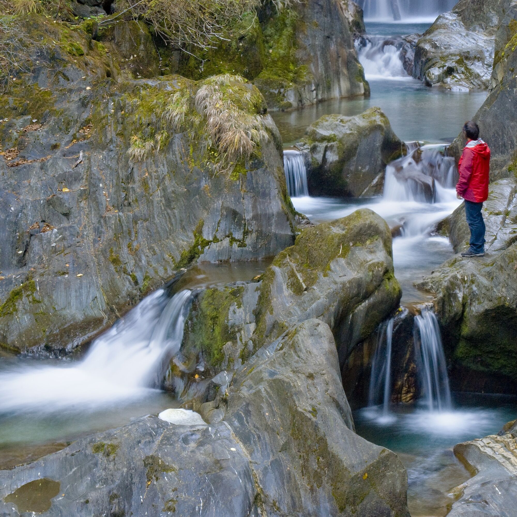
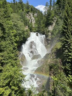
From the starting point in the village of Räuflach near Obervellach, initially on the - in terms of ascent - right bank of the stream on a gently ascending path to the first highlight of the gorge, a magical ensemble of plunge pools (rock formations washed round by water). Here we cross the stream on a bridge and climb up a few switchbacks until the view of the Great Groppensteiner Waterfall opens for the first time. On an airy boardwalk, we reach above the mighty waterfall.
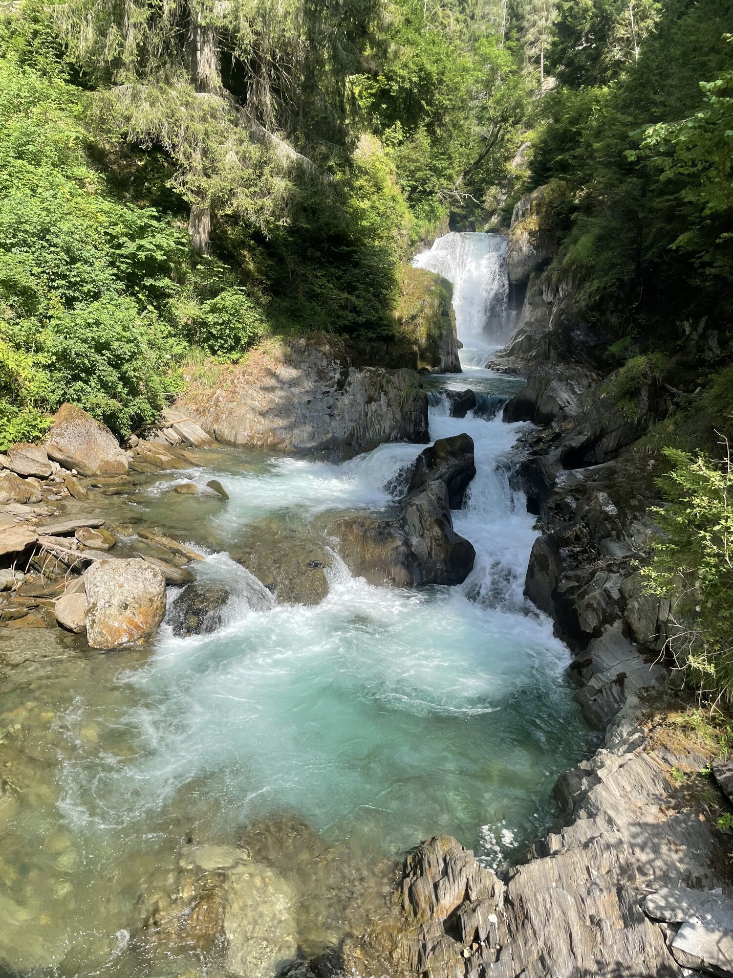
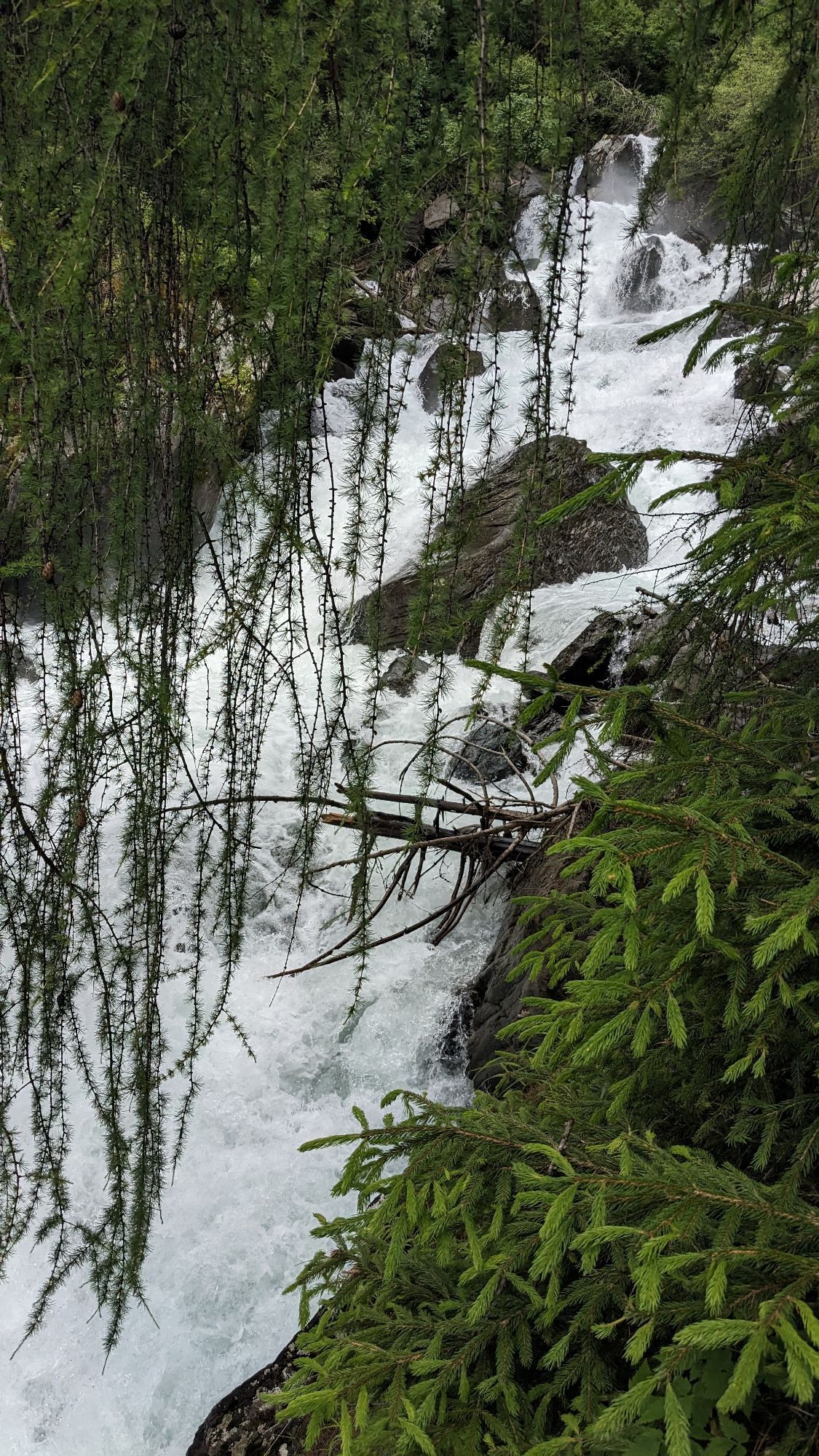
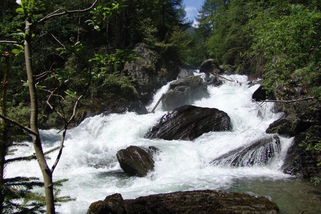
Now again somewhat flatter, mostly on boardwalks, directly above the water, through the very narrow gorge here.
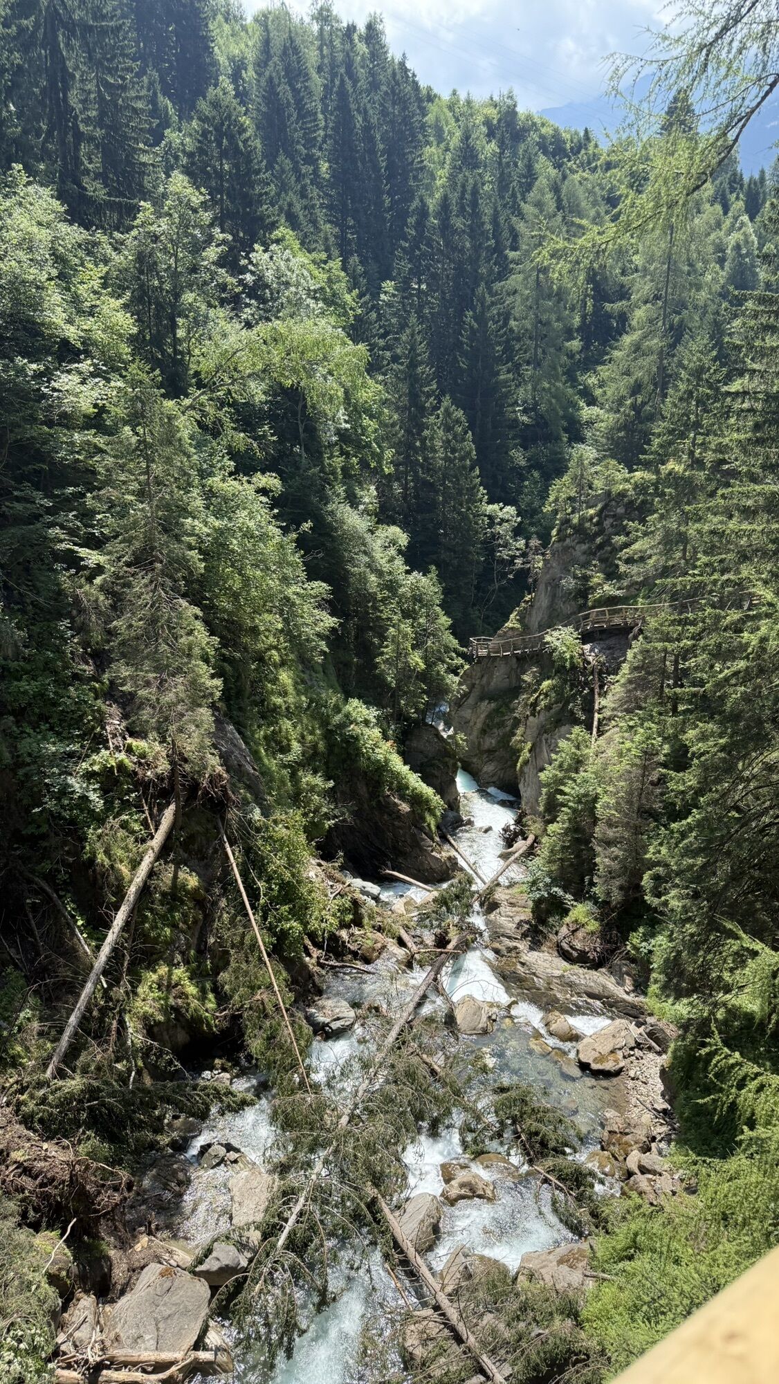
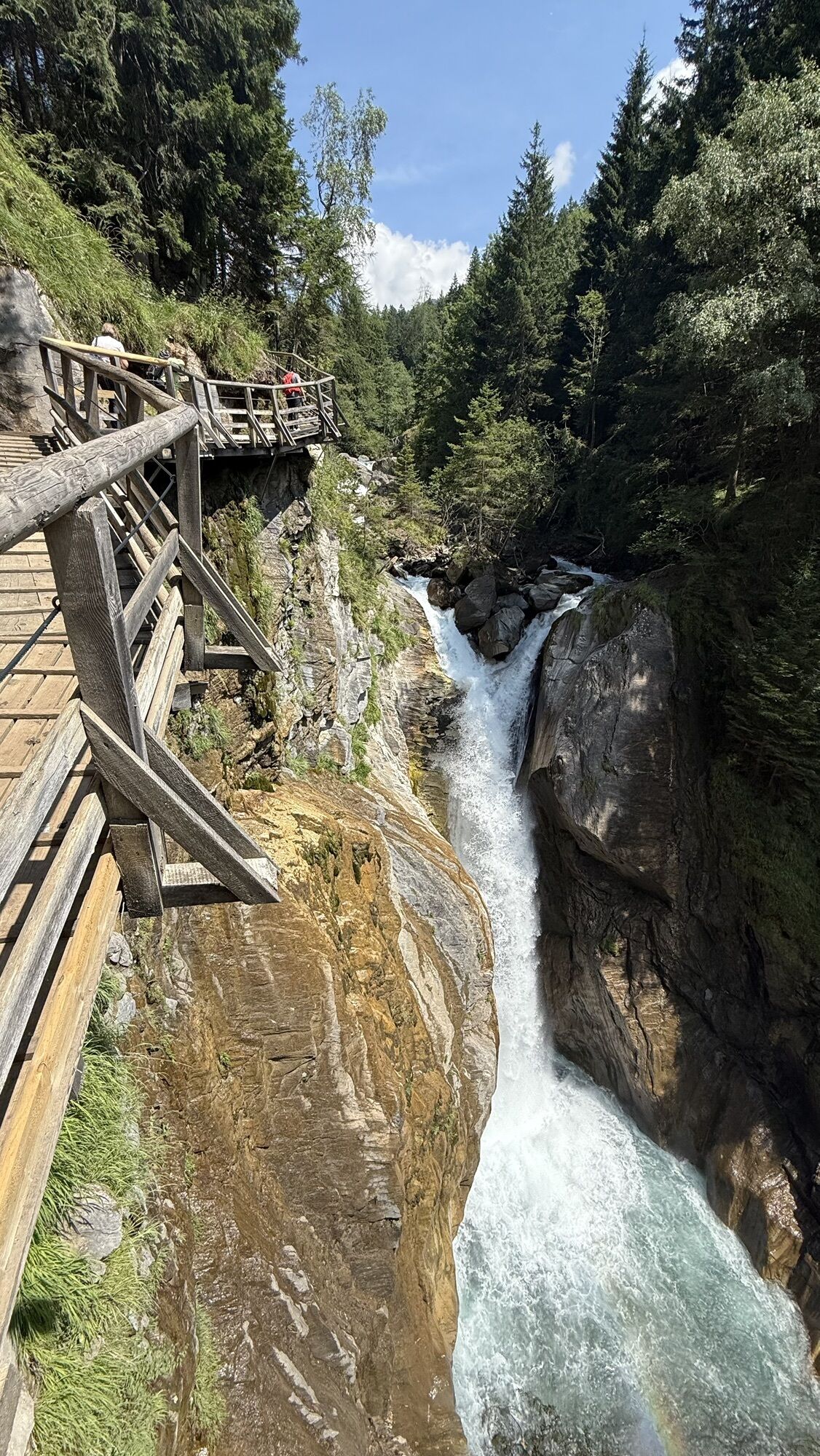
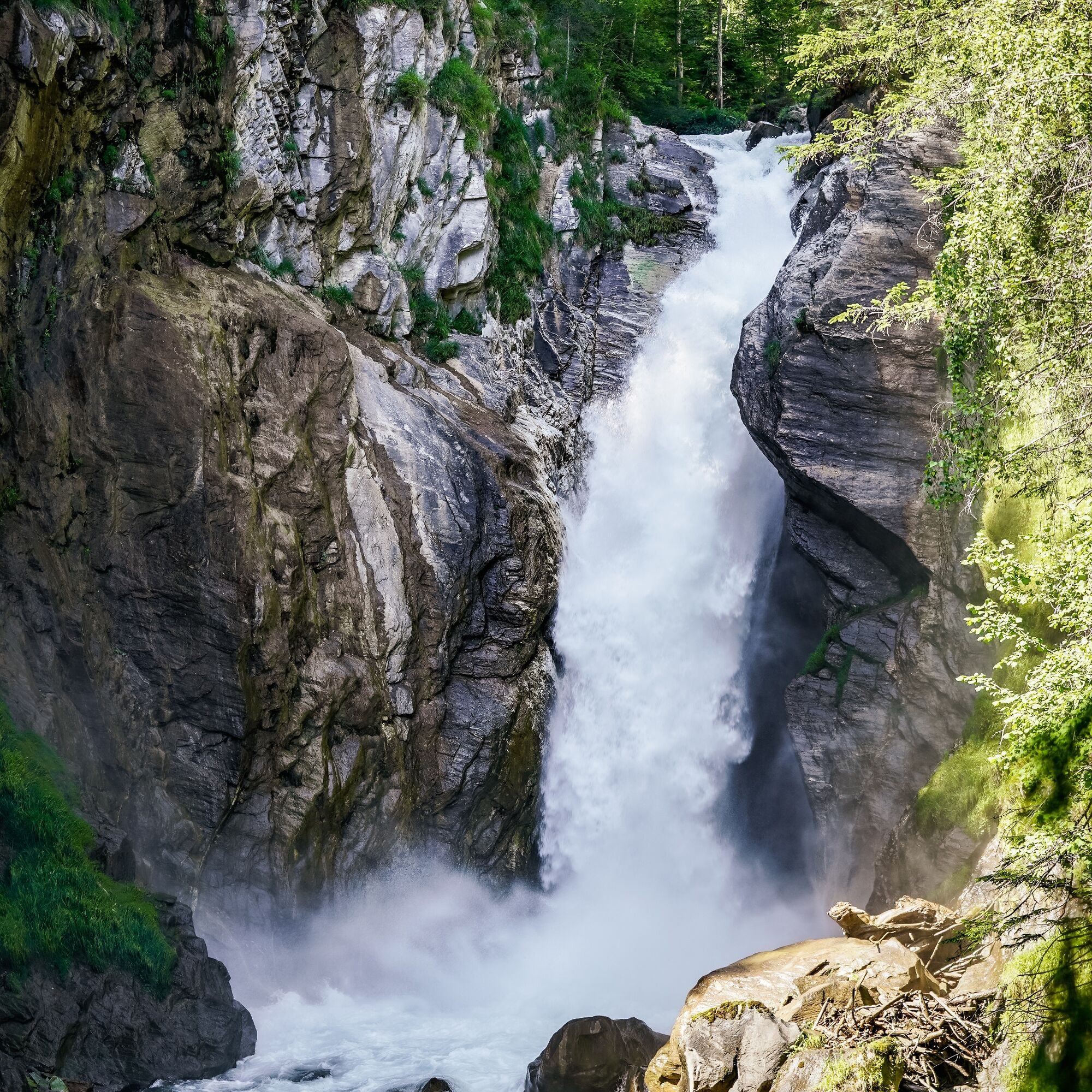
The boardwalk at the upper end of the Groppenstein Gorge is particularly spectacular: on an impressive boardwalk, we approach the roaring Zechner Waterfall, a showpiece at the upper gorge entrance. Then we ascend to the left in several bends through the forest until we reach the hiking trail "Nach dem Glanz". Here we could turn left past Groppenstein Castle to return to the starting point.
However, we initially hike on a fairly flat trail to the estate of the former inn "Zur Guten Quelle" (closed) and then continue through the village of Lassach to the Rabisch Gorge, which the Mallnitzbach carved through a huge rockslide. From the endpoint near the Alpengarten Hotel in Mallnitz, we can either shortly reach the Rabisch hiking bus stop or continue on the "Mallnitzer Talrundweg - Dösental" to the town center.
Good footwear and appropriate clothing for hiking.
From the direction of Spittal/Drau or Mallnitz: On the B106, the Mölltal federal road, through Obervellach. After about 500 m in the village of Räuflach, turn right.
From the direction of Heiligenblut/Winklern: On the B106, the Mölltal federal road, about 3 km after Flattach (Ragga Gorge) turn left (signposted).
Both the Räuflach bus stop and the one at Rabisch near Mallnitz (endpoint) are ideally accessible by public buses! The route can also be started directly in Obervellach with little extra effort, following the signs of the Alpe-Adria-Trail.
Mallnitz is ideally accessible by train; international express trains stop at Mallnitz-Obervellach station every two hours.
Parking options in the area of the toll tower / ticket office
Opening hours: Groppenstein Gorge Obervellach
The 7th stage of the Alpe-Adria-Trail runs through the Rabisch and Groppenstein Gorge.
Popularne wycieczki w okolicy
- 4,8
Wanderung zur Schwussner Hütte
światłoWędrówka 8,07 km - 3,8
Raggaschlucht
średniWędrówka 3,44 km - 4,5
Arthur von Schmidhaus
średniWędrówka 6,36 km - 4,0
Ankogel
Wędrówka 3,40 km - 4,4
Groppenstein Gorge Obervellach
średniWędrówka 2,99 km - 3,6
Hochalmspitze from the Gießener Hut (ascent via Detmolder Ridge, descent Steinernes Mandl)
ciężkiWędrówka 13,4 km - 4,8
Mühldorfer Alm - Kleiner Salzkofel
średniWędrówka 11,6 km - 5,0
Ankogelgruppe - Säuleck 3.086m - Detmolder Weg mit zu viel Schnee
ciężkiWycieczka wysokogórska 23 km - 4,6
Vorderer Geißelkopf
średniWycieczka wysokogórska 19,1 km - 4,2
Säuleck
ciężkiWędrówka 19,0 km
Wędrówki i tropienie


Nie przegap ofert i inspiracji na następne wakacje
Twój adres e-mail została dodana do listy mailingowej.