


Rjautza

Comfortable start at Familienhof Sereinig, then steadily ascending over a beautiful forest road and past the gendarmerie memorial. After a few "shortcuts" the hiking trail branches off to the right at...
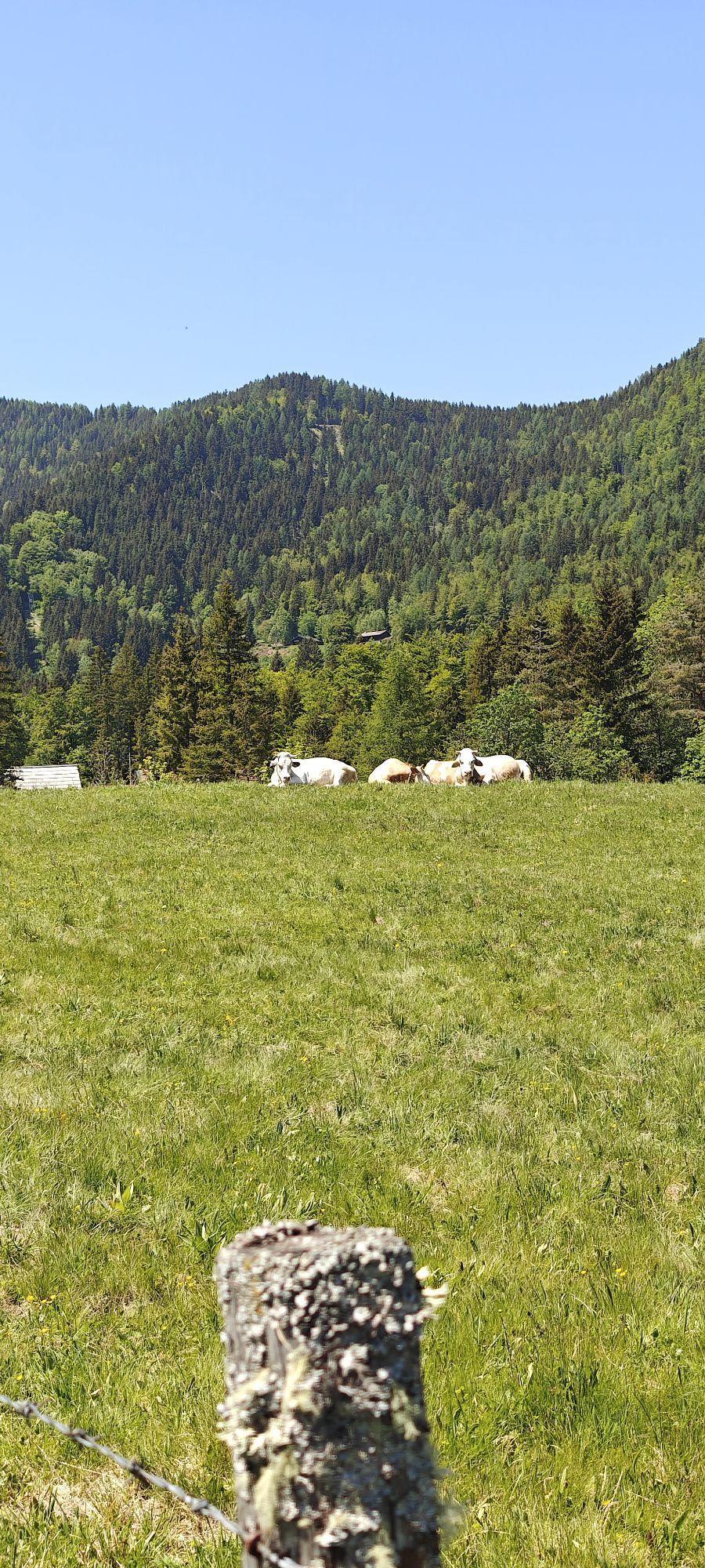
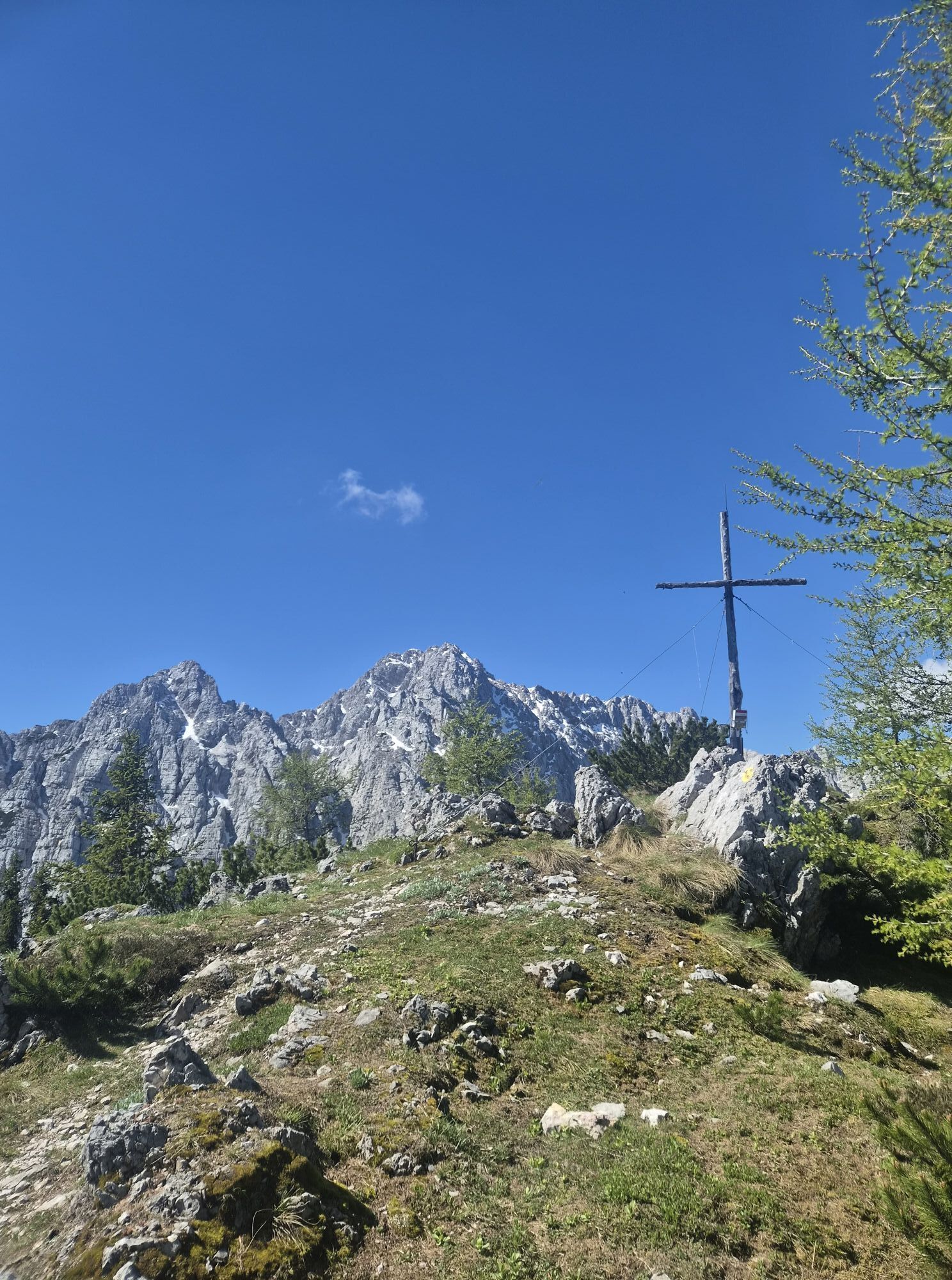
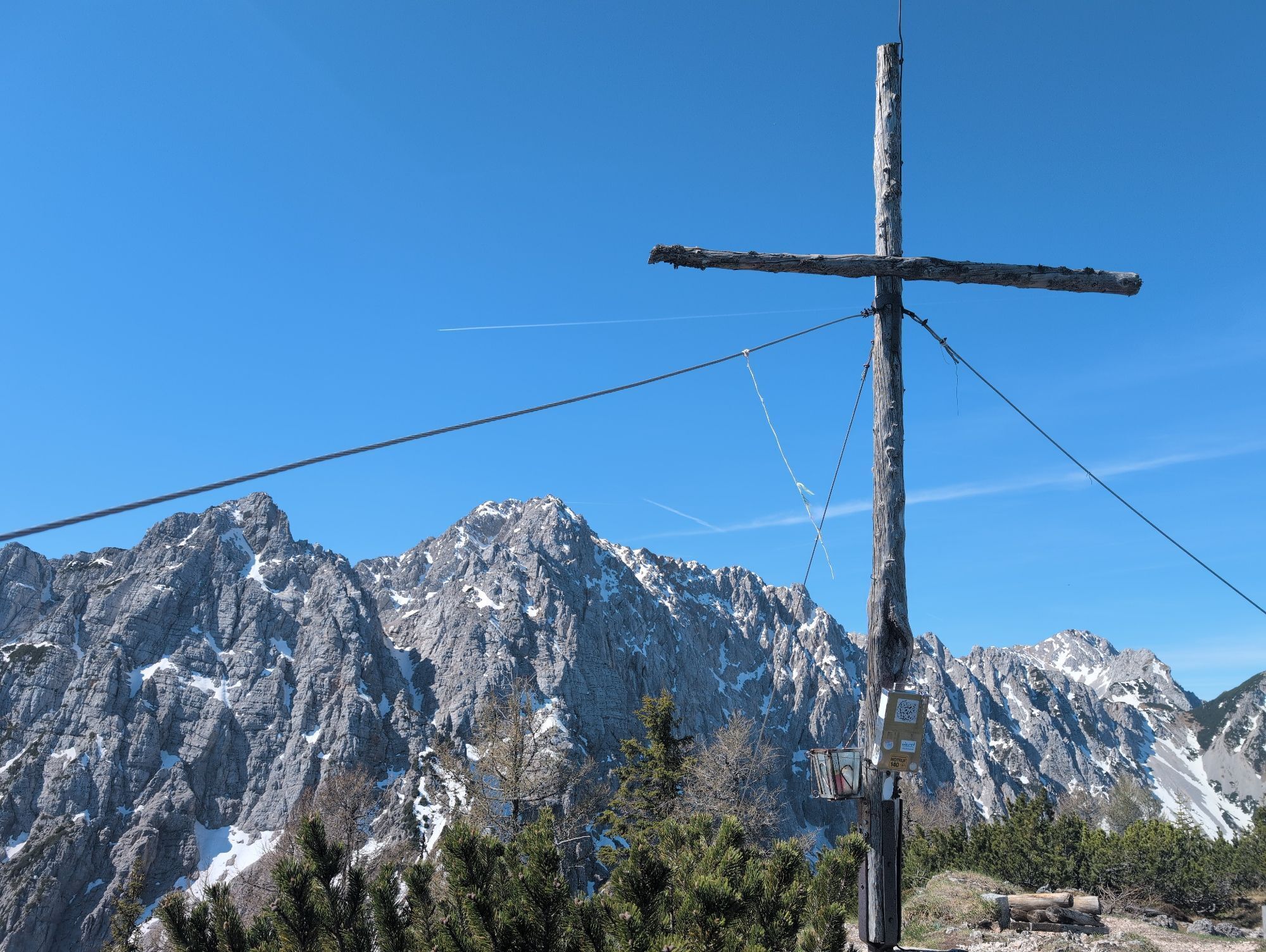
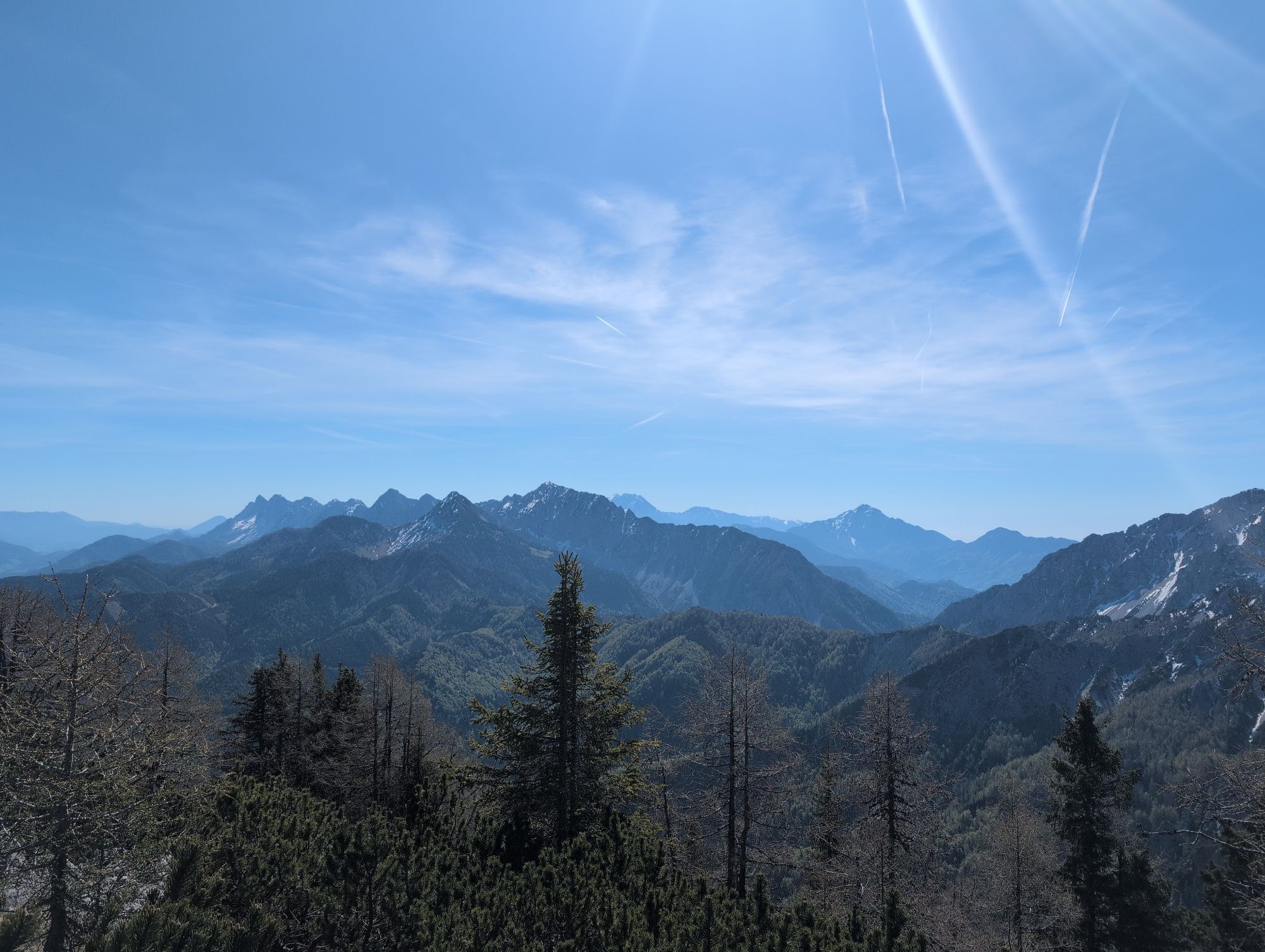
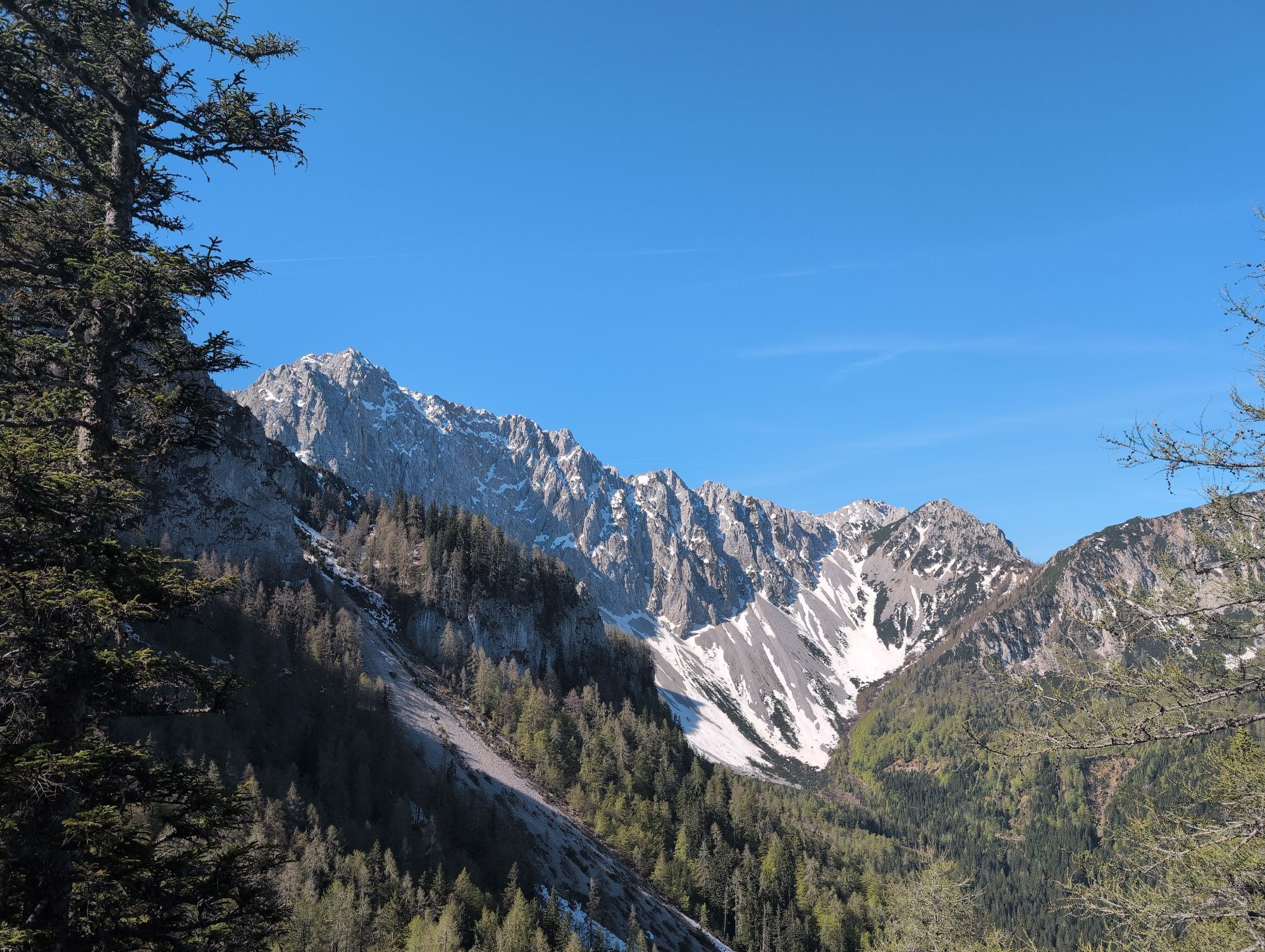
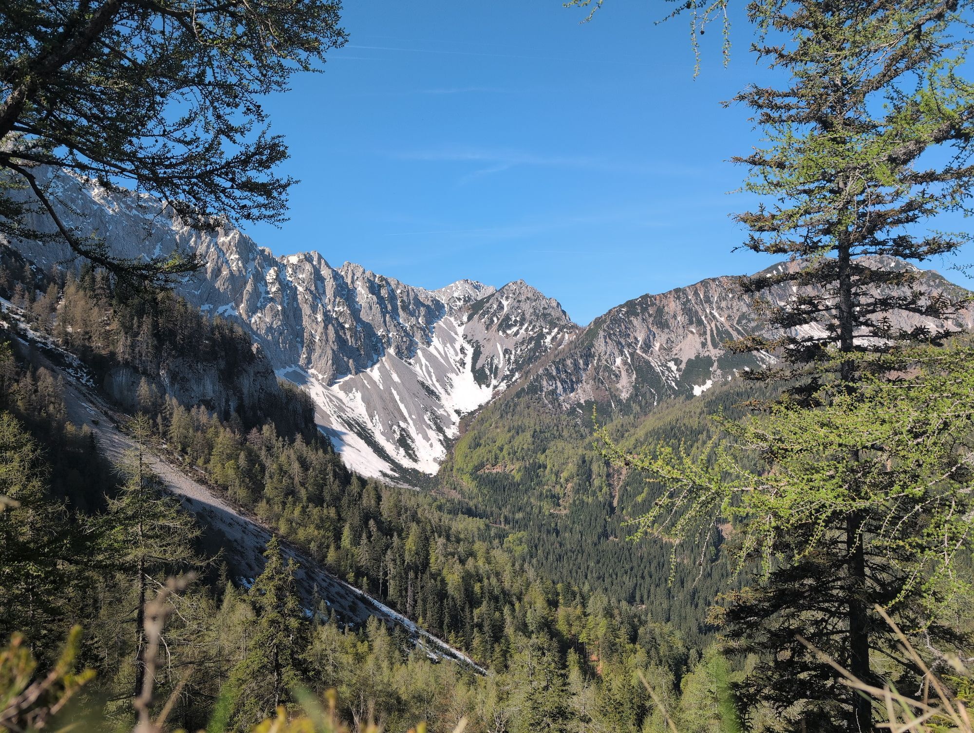
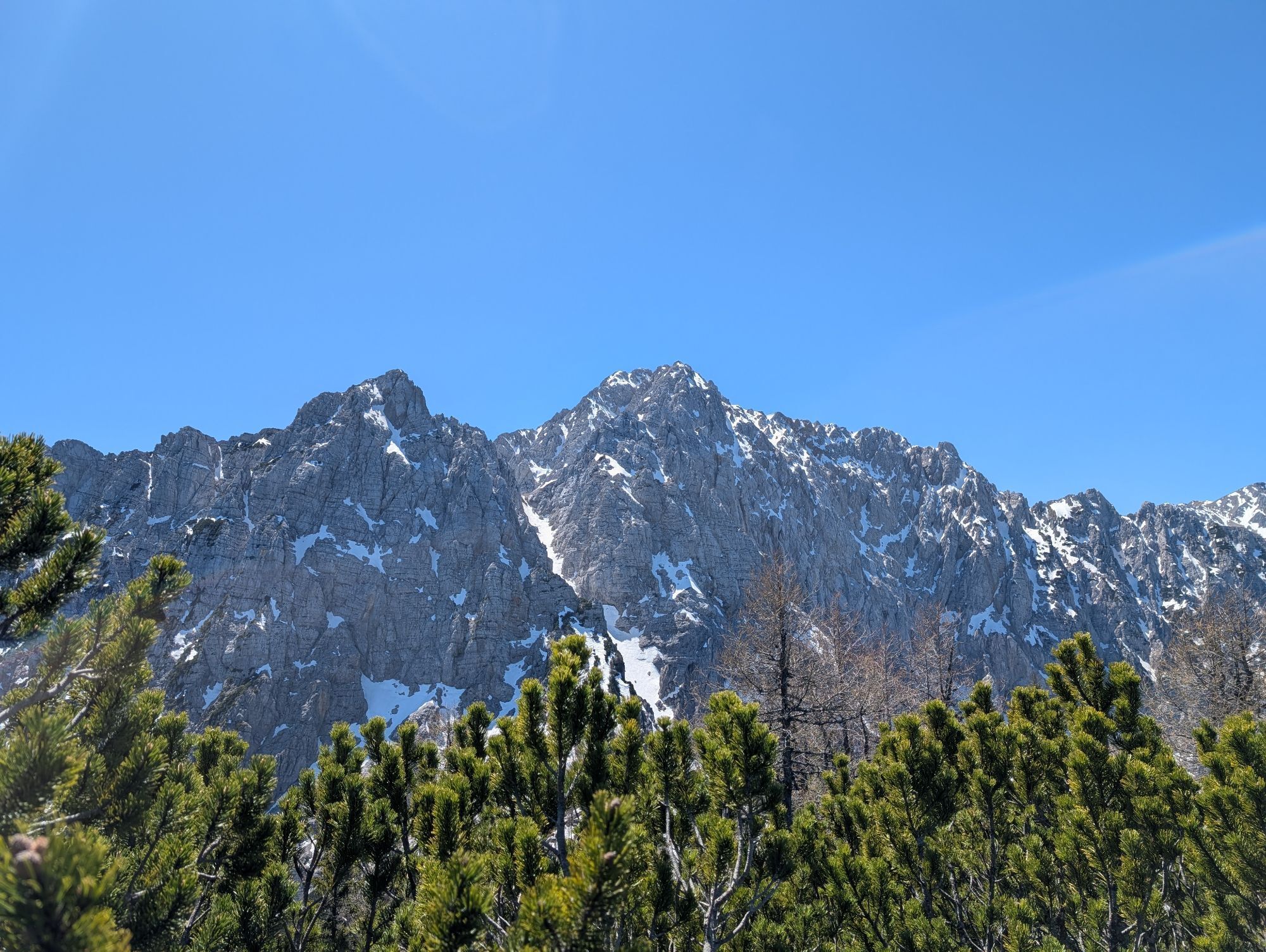
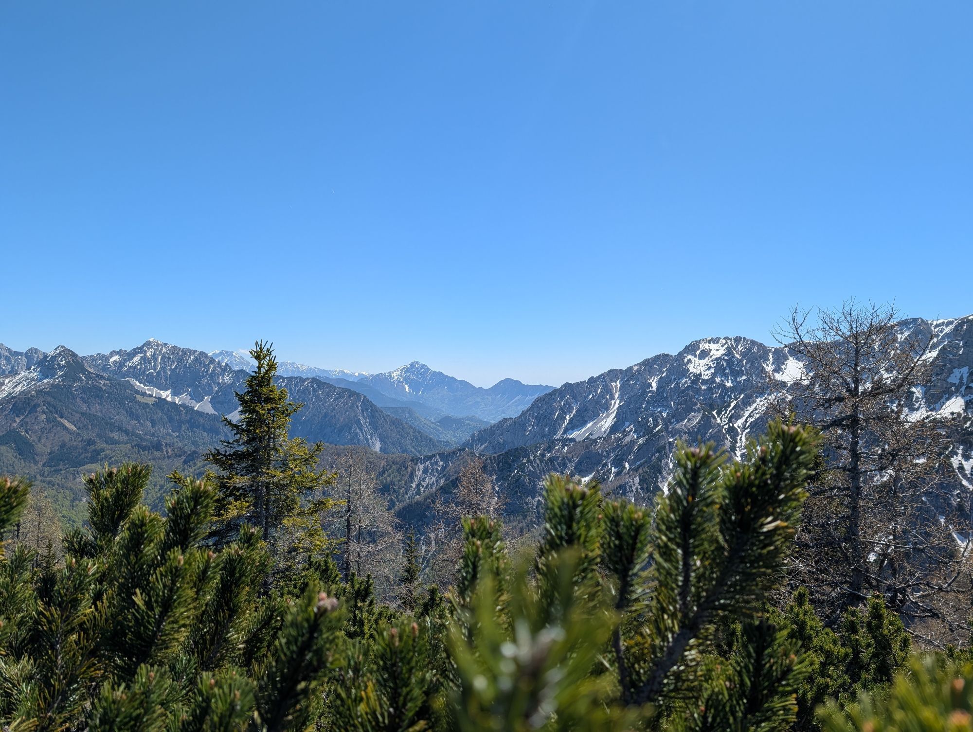
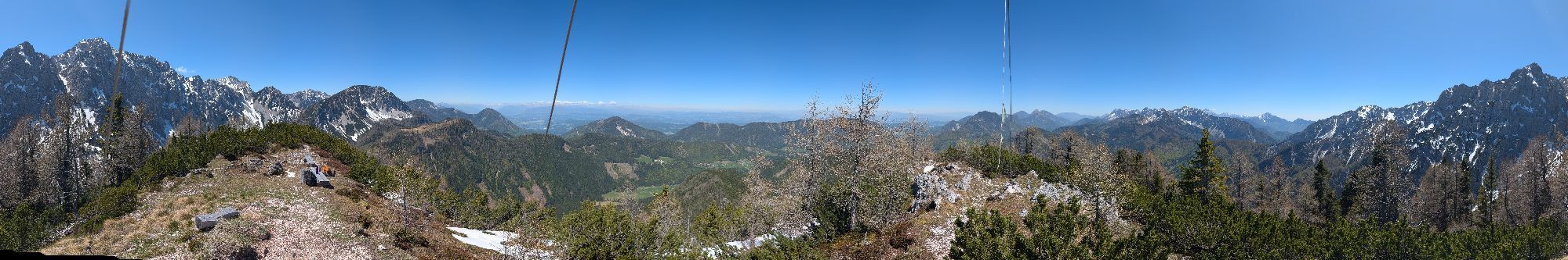
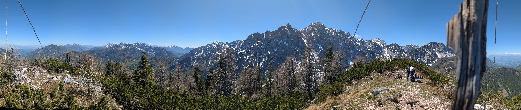
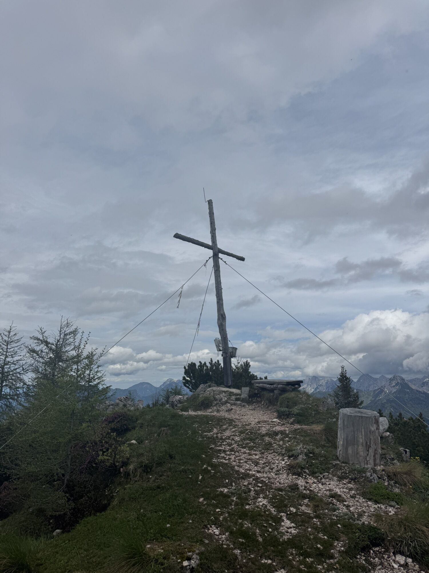
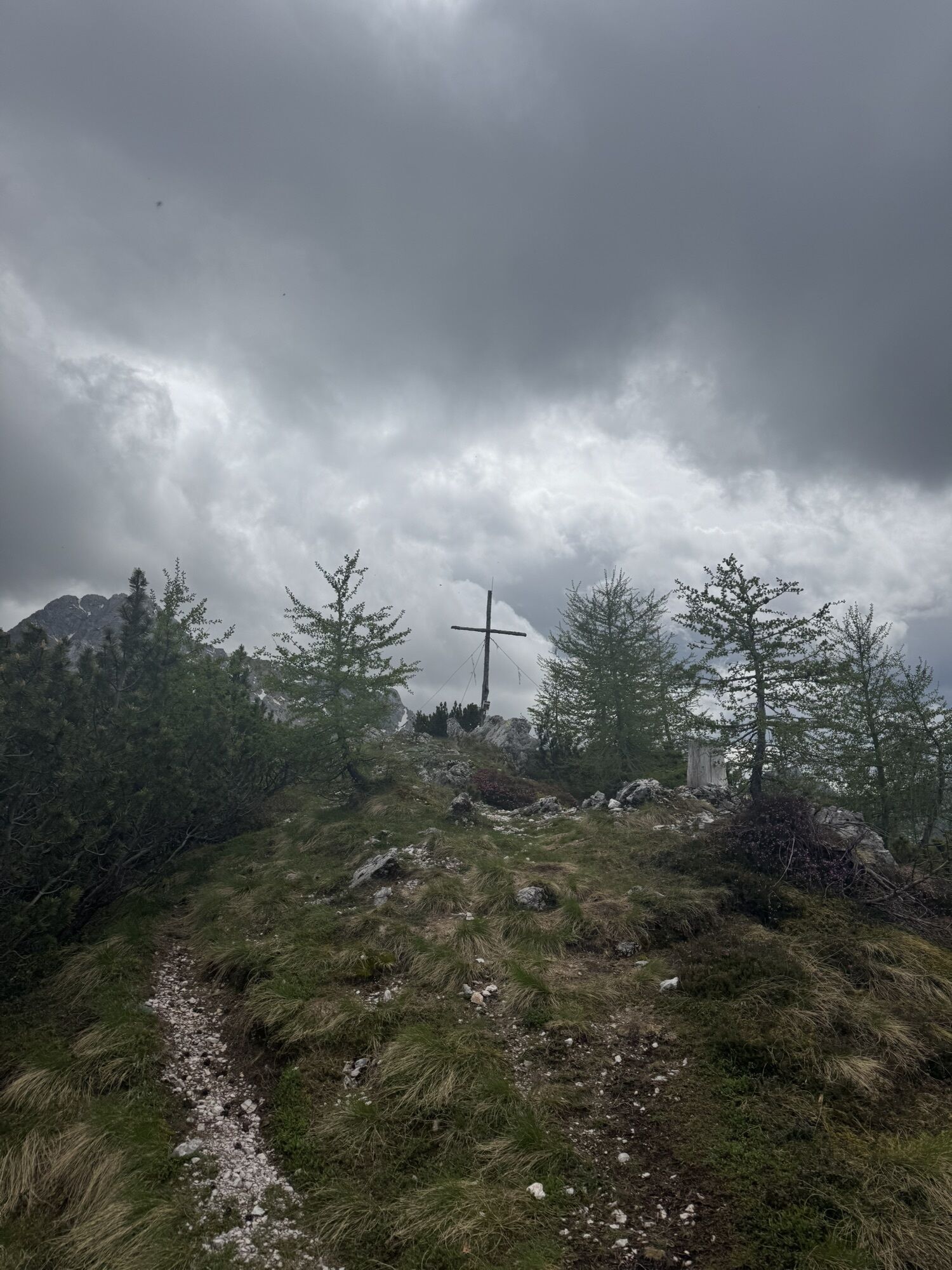
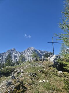
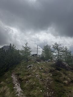
Comfortable start at Familienhof Sereinig, then steadily ascending over a beautiful forest road and past the gendarmerie memorial. After a few "shortcuts" the hiking trail branches off to the right at a hairpin bend and leads steeper up to a ridge. Through a beautiful mixed forest, over an alpine pasture and past the "Weisse Wand" it finally goes quite strenuous over a short but steep cirque up to the summit with a beautiful view.
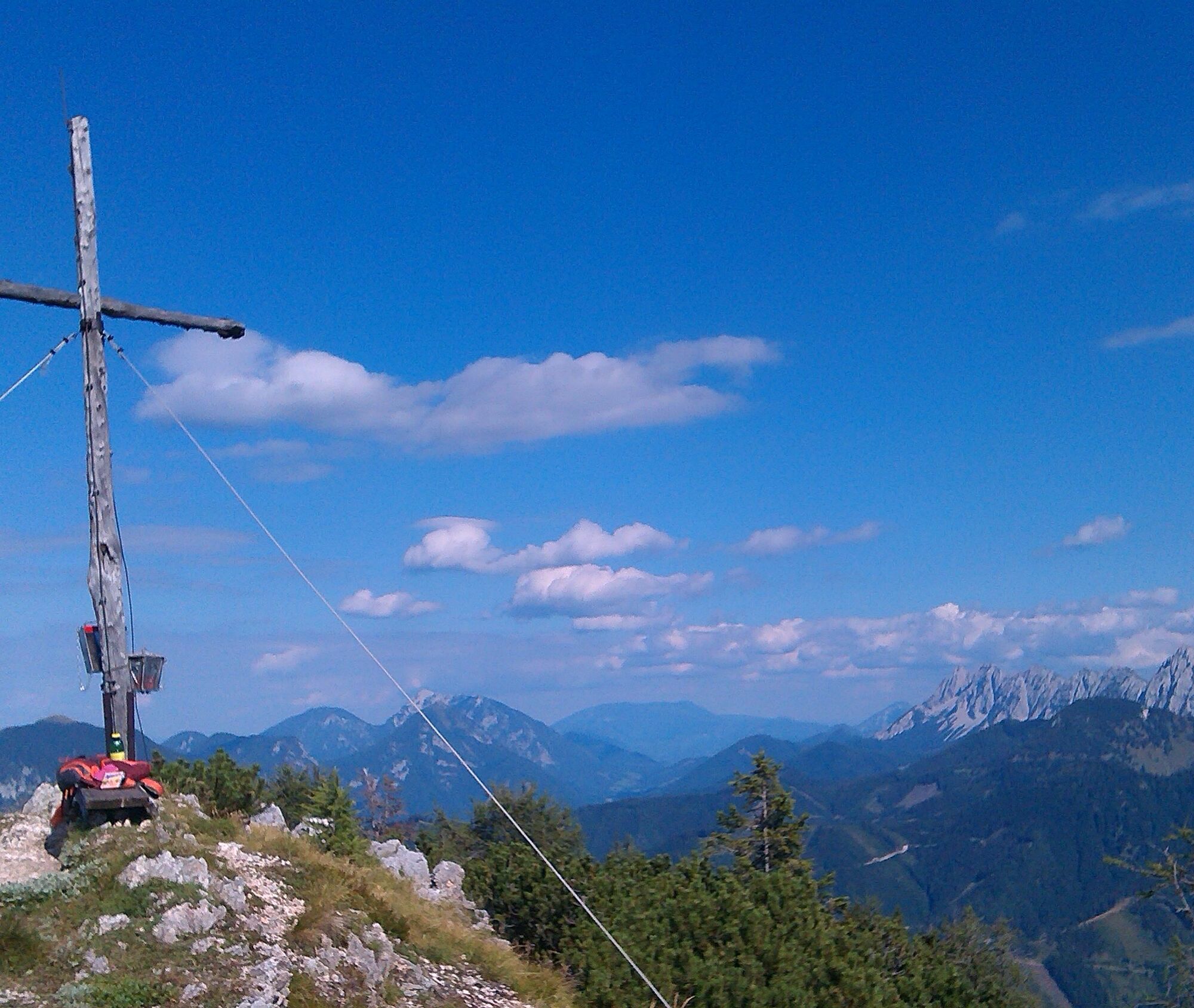
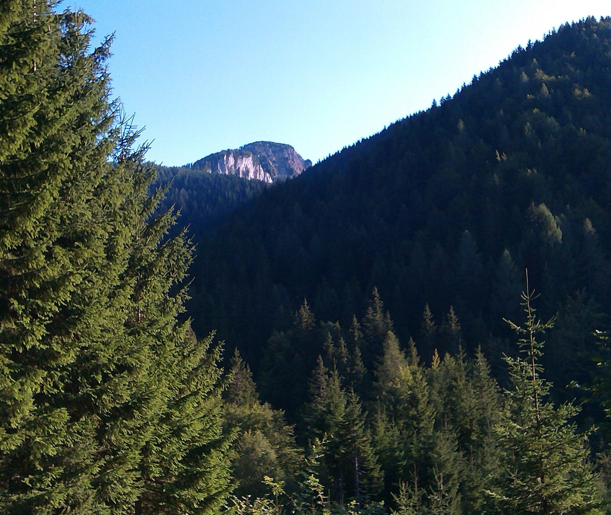
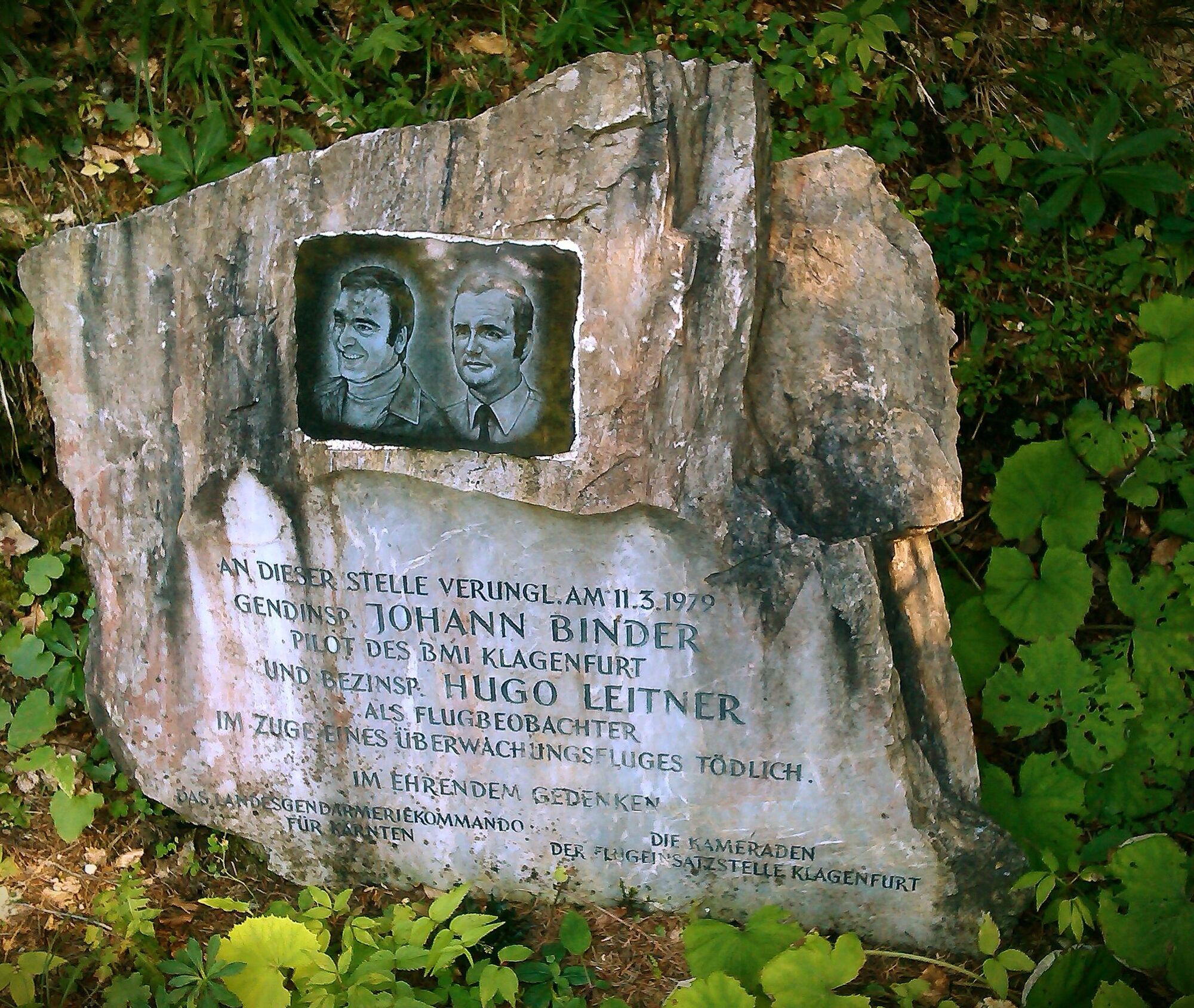
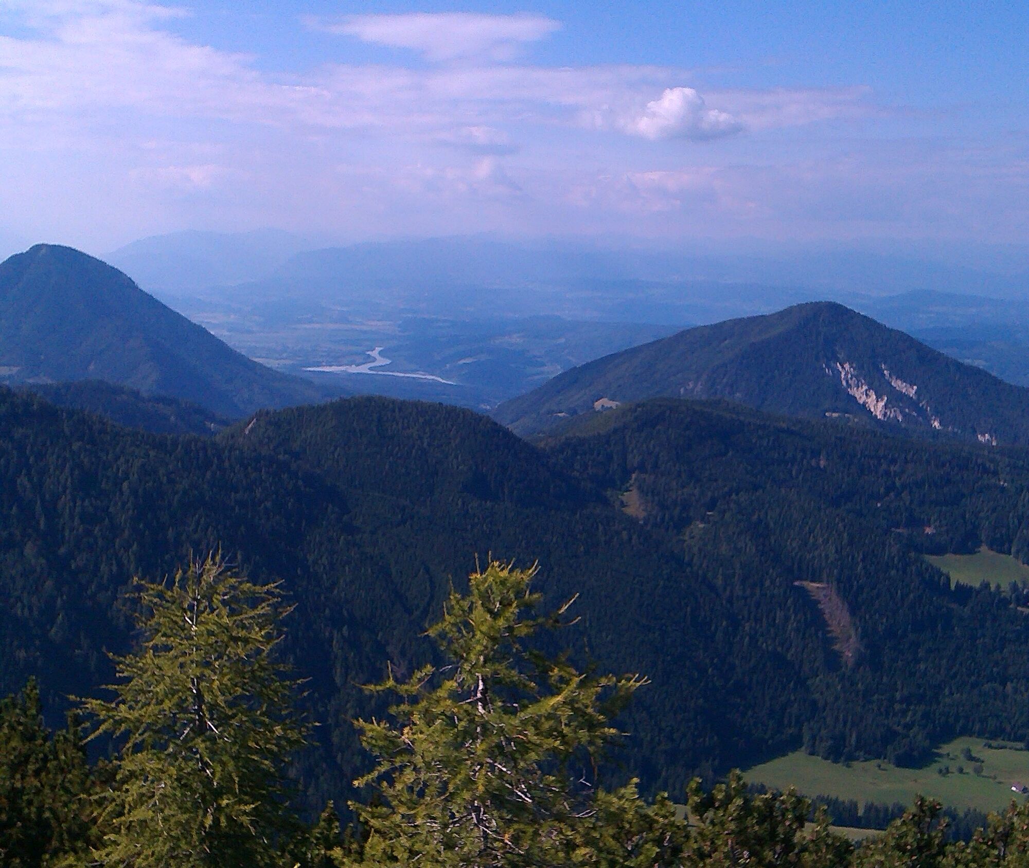
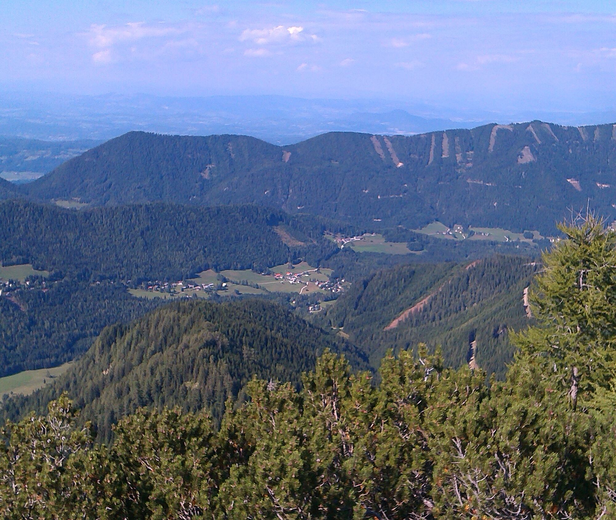
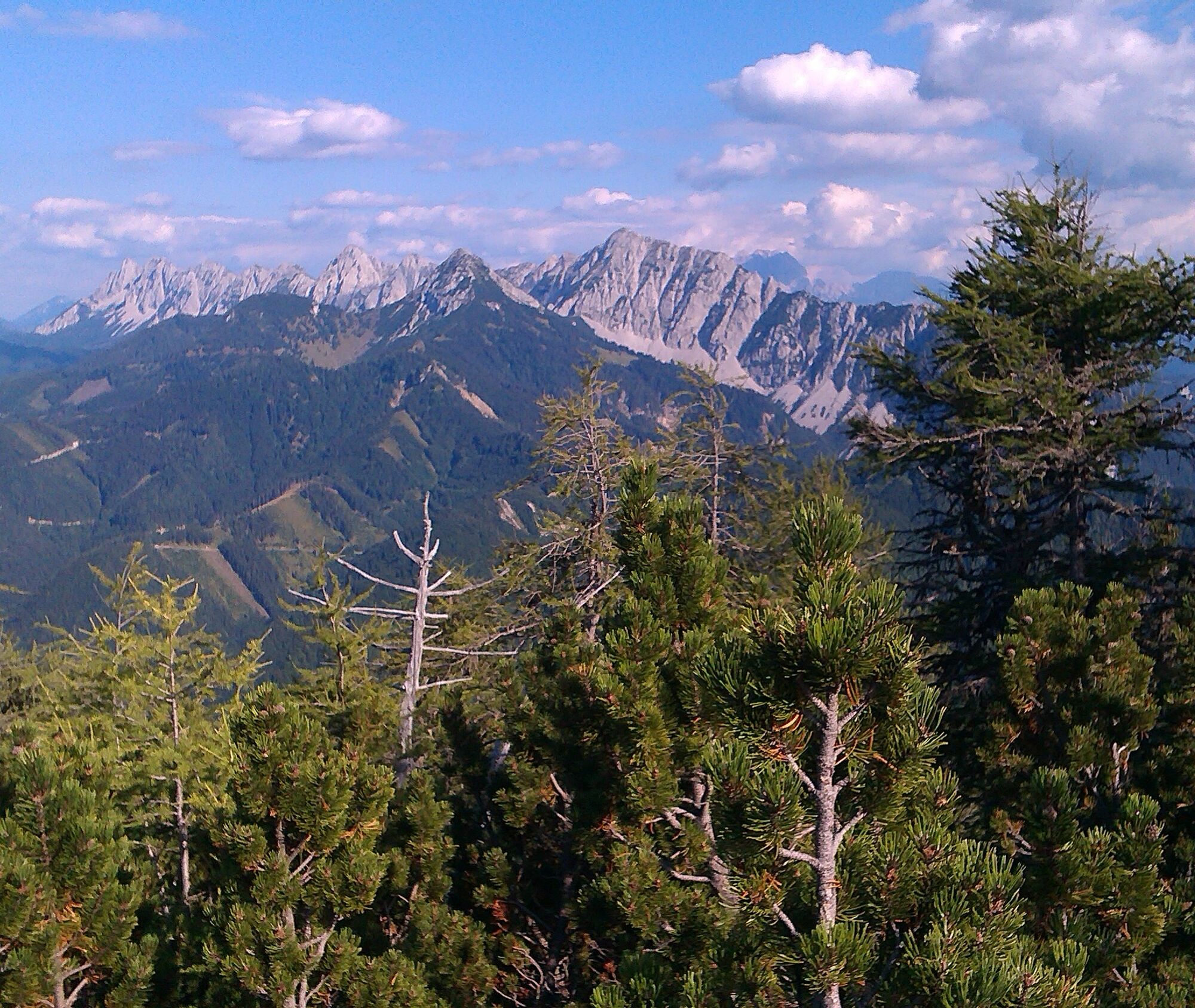
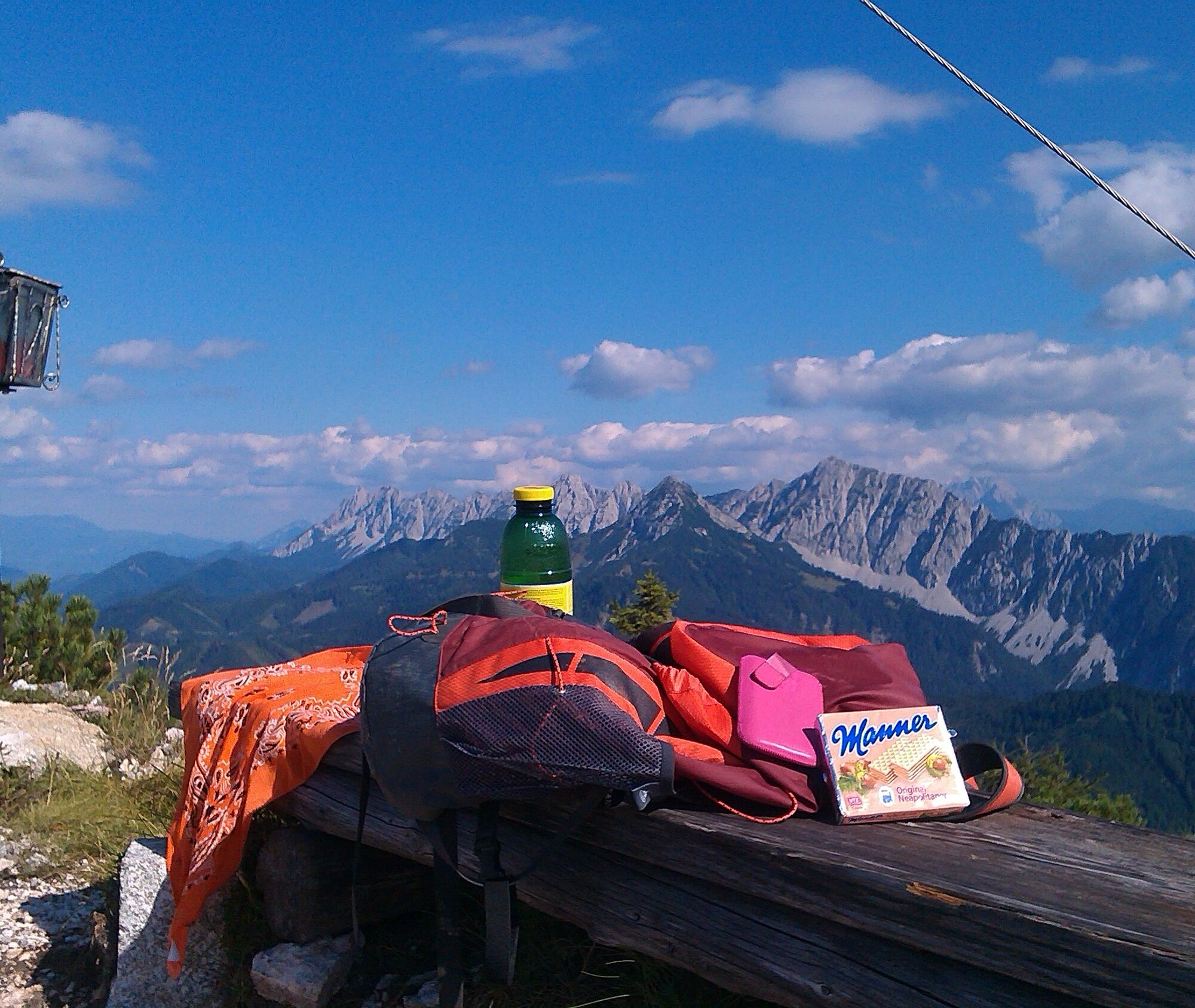
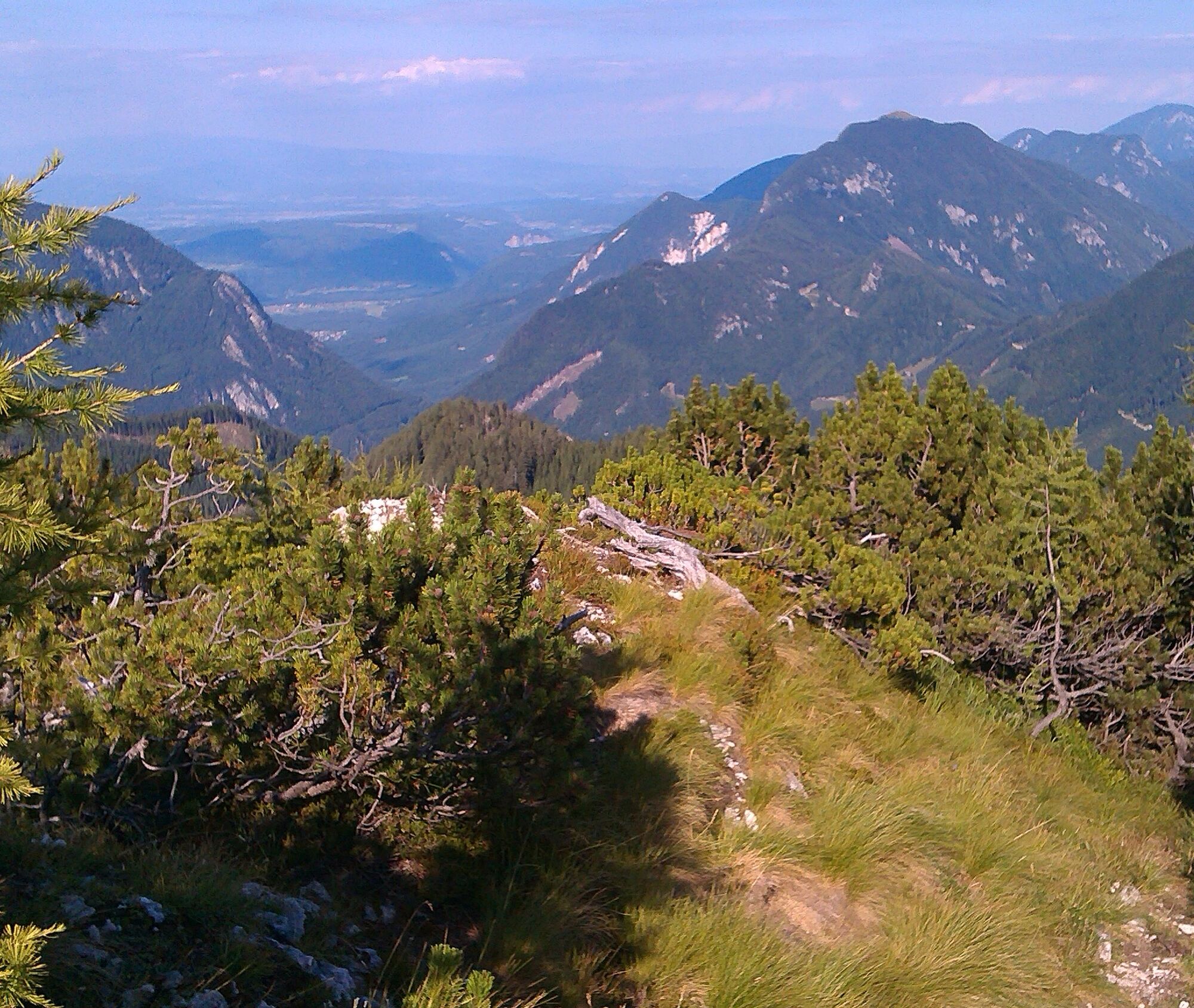
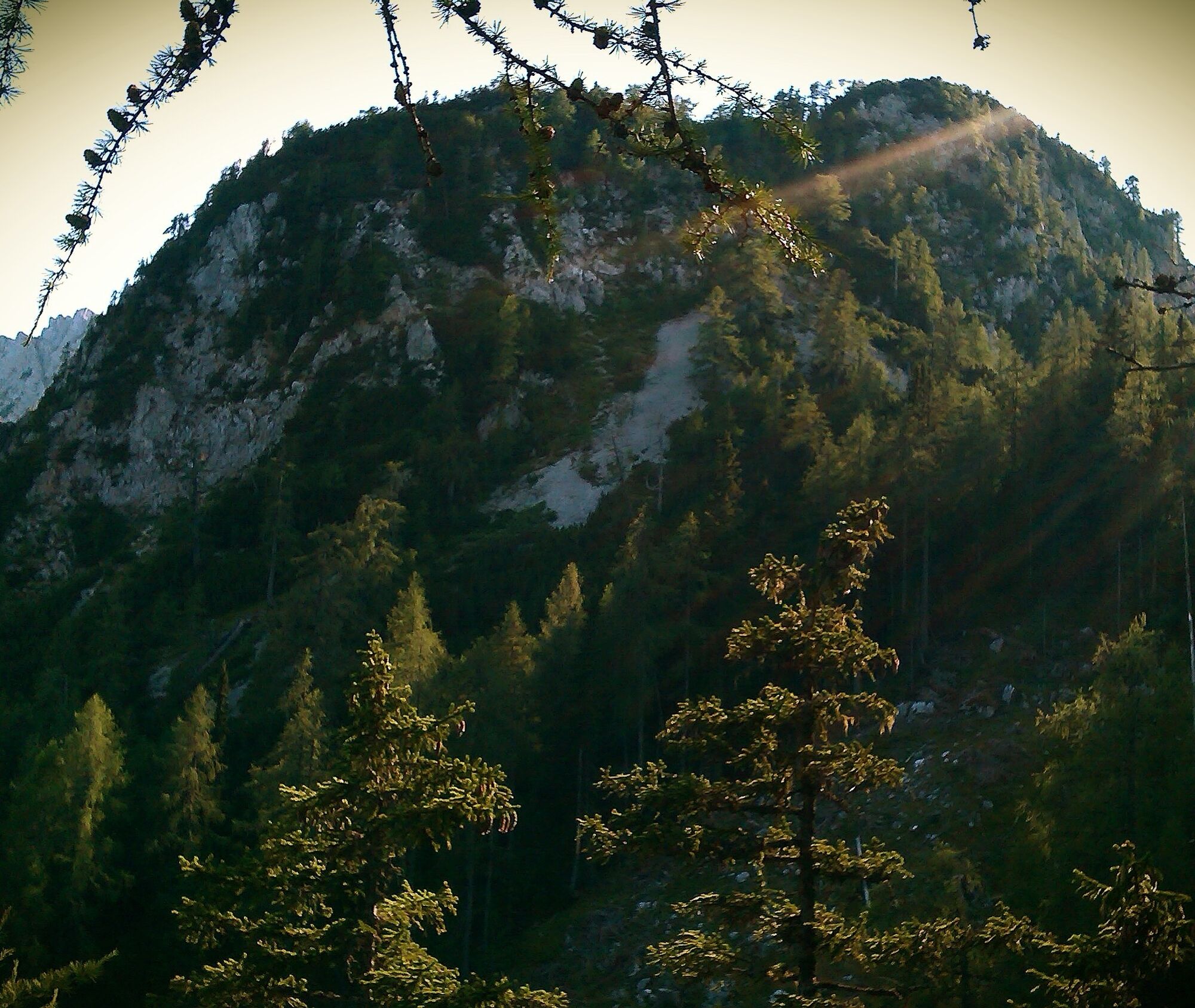
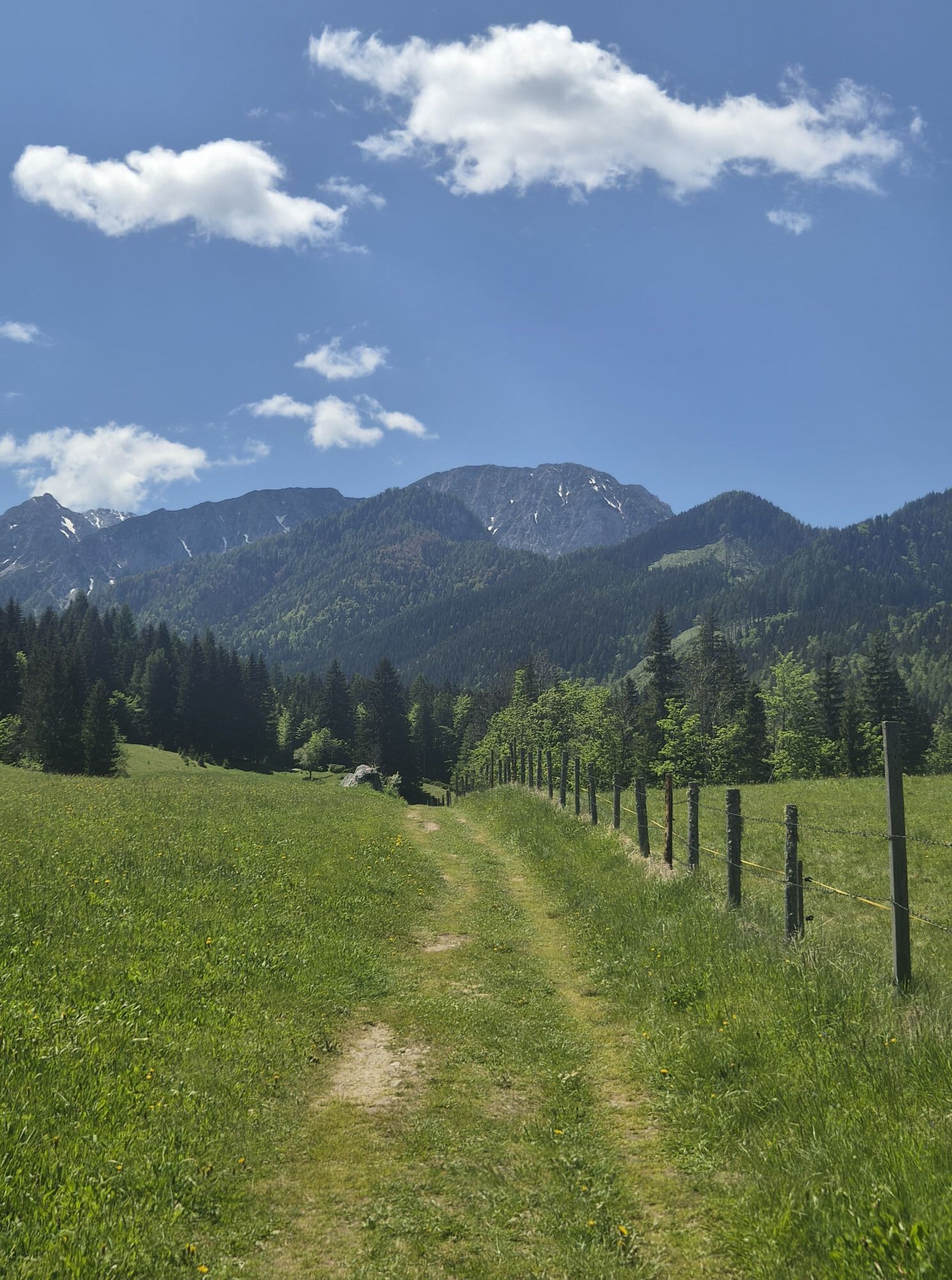
From the parking lot at Familienhof Sereinig we walk past the ski area and guesthouse towards the west. Here at the end of the meadow the forest road branches off to the left and leads steadily ascending in long switchbacks. We pass a cattle gate and later come past the gendarmerie memorial. After a few "shortcuts" the hiking trail branches off to the right at a hairpin bend and leads steeper up to a forest ridge. Through a beautiful mixed forest it goes moderately steep to an alpine pasture and past the so-called "Weisse Wand". Finally the path leads quite strenuous over a short but steep cirque up to the summit with a beautiful view. The descent is the same as the ascent.
Tak
Tak
Complete hiking equipment, good footwear as paths are often wet, hiking poles advantageous!
From Klagenfurt, follow the Loiblpass federal road into Bodental
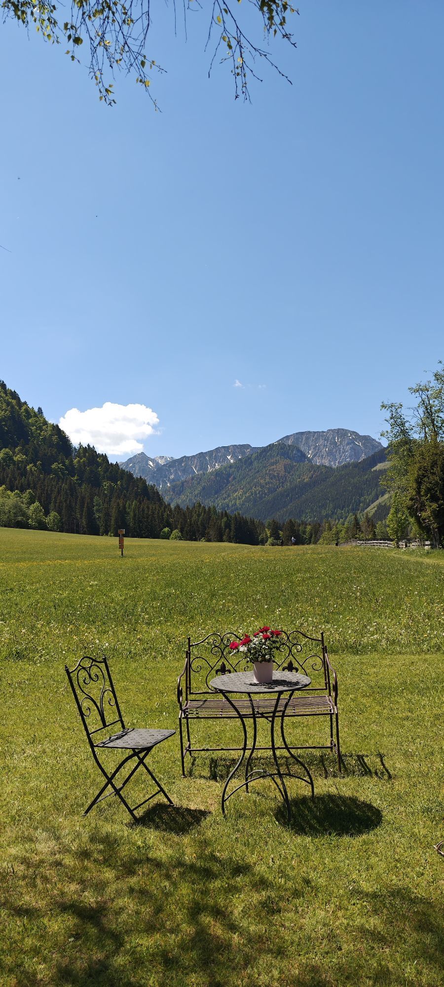
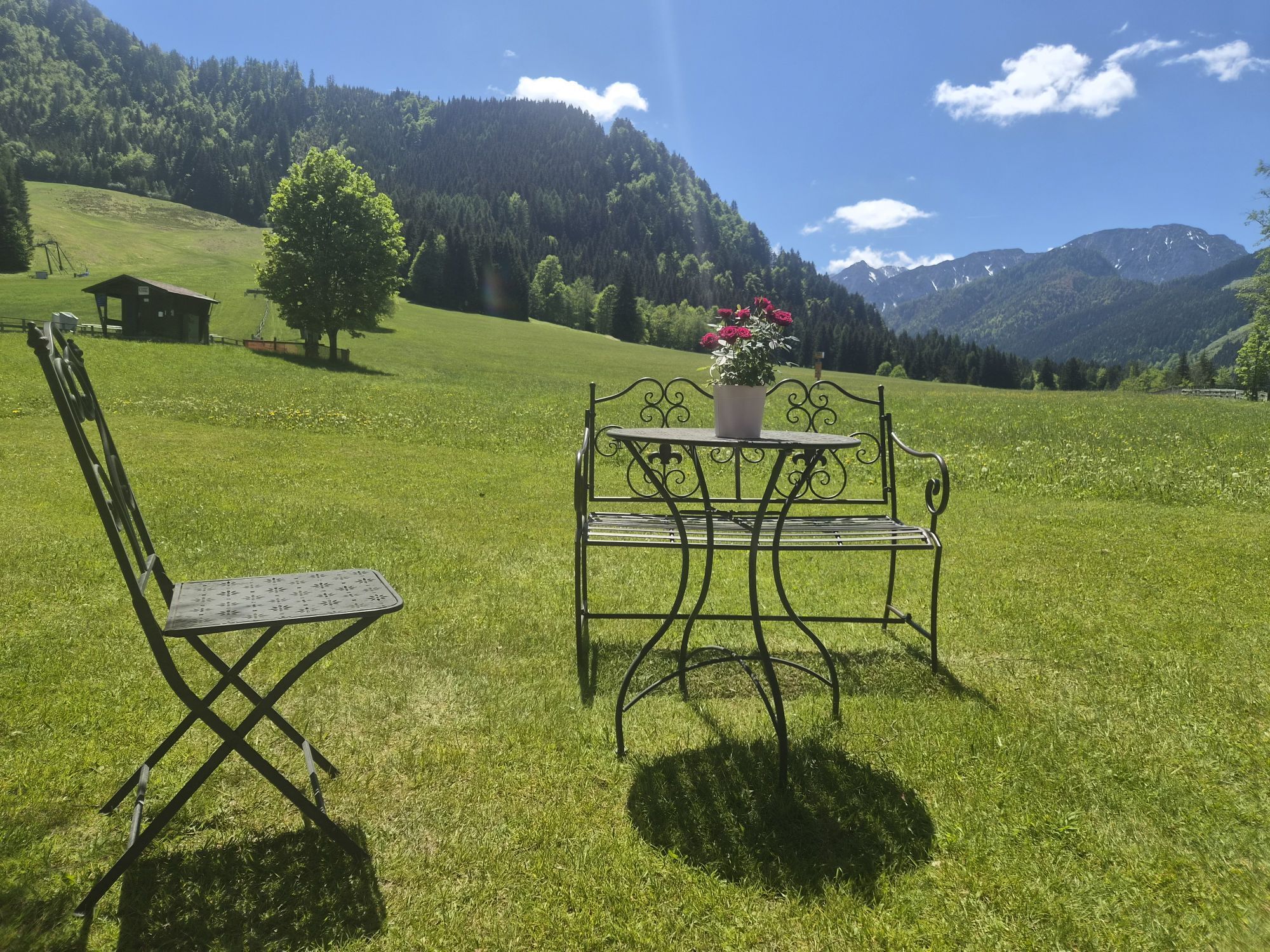
Parking lot at Familienhof Sereinig
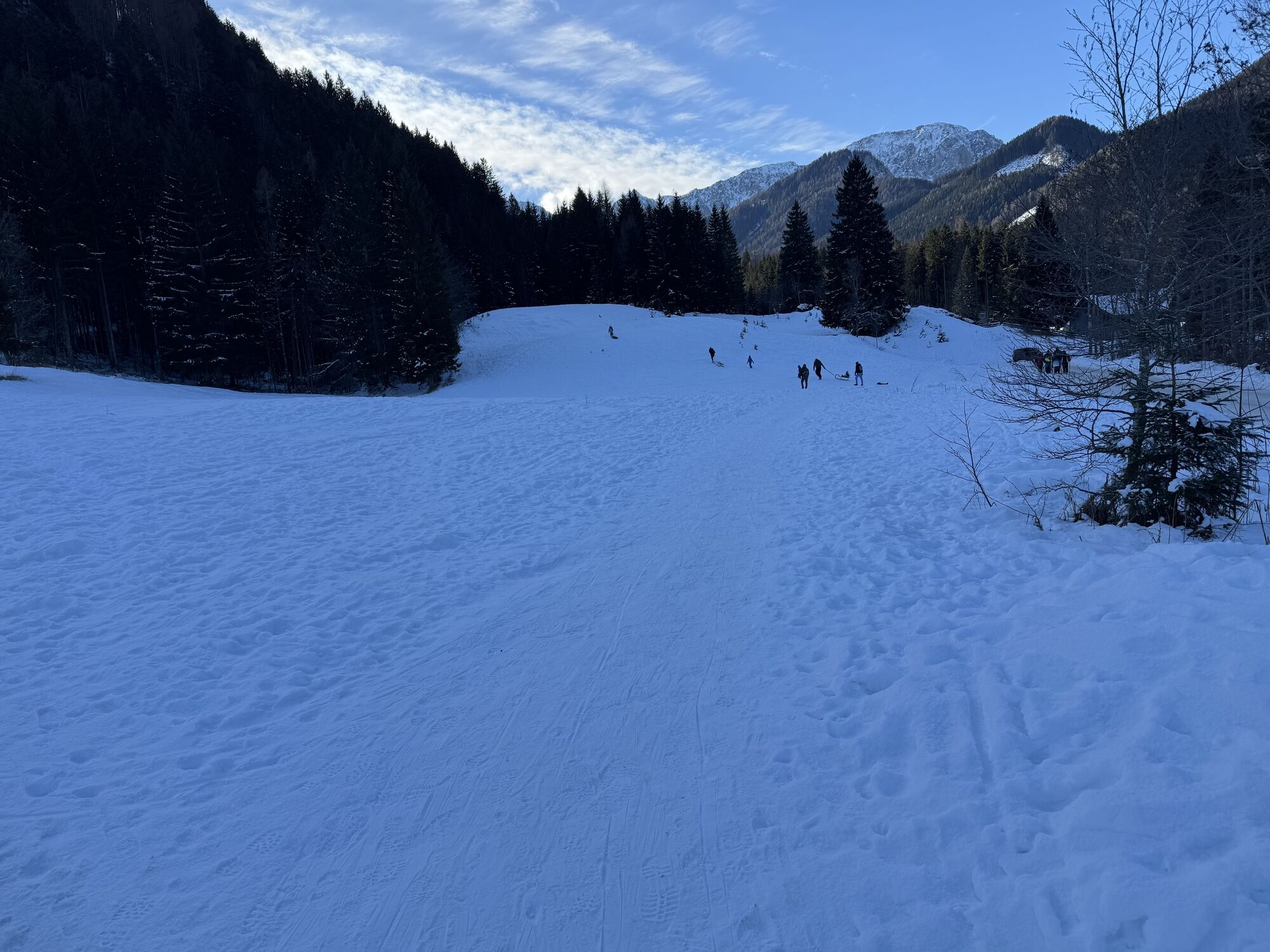
The route is north-facing, therefore especially suitable on warm days in summer or after long dry periods in spring or autumn.
Aktywności na trasie

Rjautza
30.05.2026 – Wędrówka
Bodental, Kärnten/Österreich
23.05.2026 – Wędrówka

Rjautza mit Papa
03.05.2026 – Wędrówka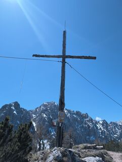
Rjautza mit meister Herrenhof
30.04.2026 – WędrówkaFerlach, Kärnten/Österreich
23.11.2025 – WędrówkaBodental, Kärnten/Österreich
23.11.2025 – WędrówkaFerlach, Kärnten/Österreich
06.09.2025 – WędrówkaFerlach, Kärnten/Österreich
15.08.2025 – Wycieczki górskieBodental, Kärnten/Österreich
09.08.2025 – Wędrówka
Rjavca comp
29.06.2025 – Wycieczki górskie
Bodental, Kärnten/Österreich
28.05.2025 – Wędrówka
Popularne wycieczki w okolicy
- 4,2
MTB-Tour zur Klagenfurter Hütte
średniMountainbike 12,6 km - 3,9
Tscheppaschlucht Ferlach
światłoWędrówka 5,90 km - 4,4
Slow Trail Meerauge
światłoWędrówka 5,51 km - 4,6
Water experience trail Hainschgraben
średniWędrówka 9,23 km - 4,3
From Bärental to the Kosiak (Klagenfurter Hut)
średniWędrówka 9,67 km - 4,7
Ogrisalm ab Bodenbauer, Kärnten/Österreich
światłoWycieczka narciarska 11,2 km - 4,5
Maria Rain-Petelinz-Kaiserhütte
światłoWędrówka 6,45 km - 3,9
Singerberg, über die Südseite
średniWędrówka 7,87 km - 4,6
Sinacher Gupf crossing
średniWędrówka 8,32 km - 4,2
Winter hike Singerberg
średniWędrówka zimą 8,36 km

Wędrówki i tropienie


Nie przegap ofert i inspiracji na następne wakacje
Twój adres e-mail została dodana do listy mailingowej.