






Hiking through the Garnitzenklamm
1. From Möderndorf through the 1st and 2nd part of the gorge to the emergency shelter and back to Möderndorf via St. Urban (approx. 2.5 hours). 2. Through all 4 parts of the gorge to the end (approx. 2.5...
1. From Möderndorf through the 1st and 2nd part of the gorge to the emergency shelter and back to Möderndorf via St. Urban (approx. 2.5 hours). 2. Through all 4 parts of the gorge to the end (approx. 2.5 hours) a.) From the end of the gorge to Kühweger Alm (approx. 1 hour) and further over Kühweger Thörl to Gartnerkofel (approx. 2.5 hours) or from Kühweger Thörl to Nassfeld (approx. 1 hour) b.) From the end of the gorge via Garnitzenklamm - Garnitzenhöhe - Garnitzenklamm - Watschiger Alm to Nassfeld (approx. 3 - 4 hours)


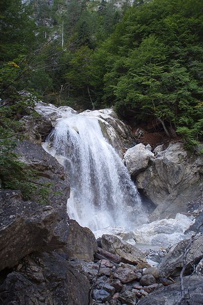

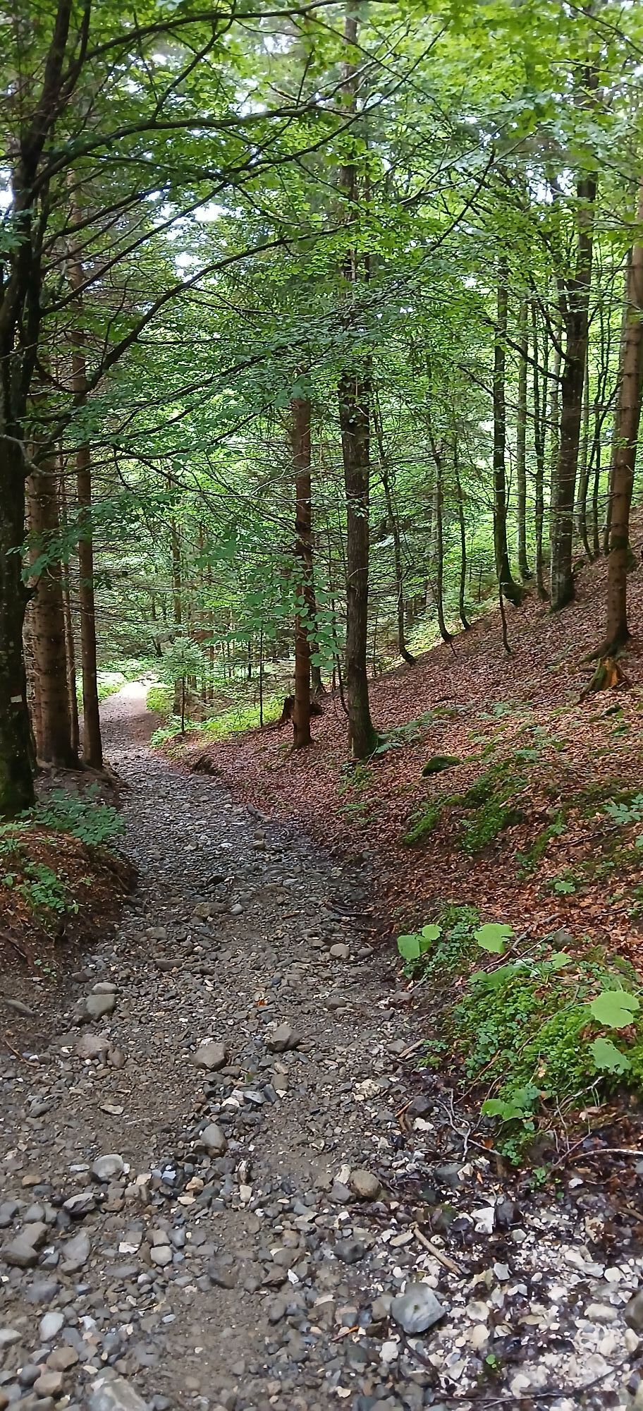
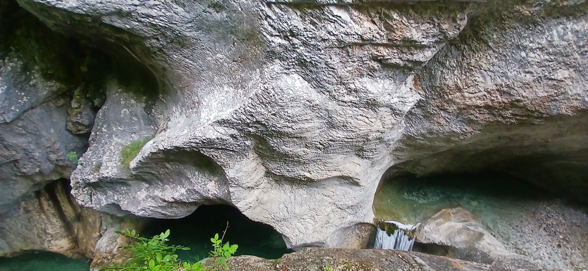
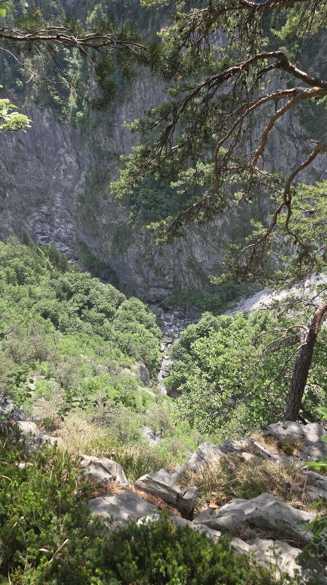
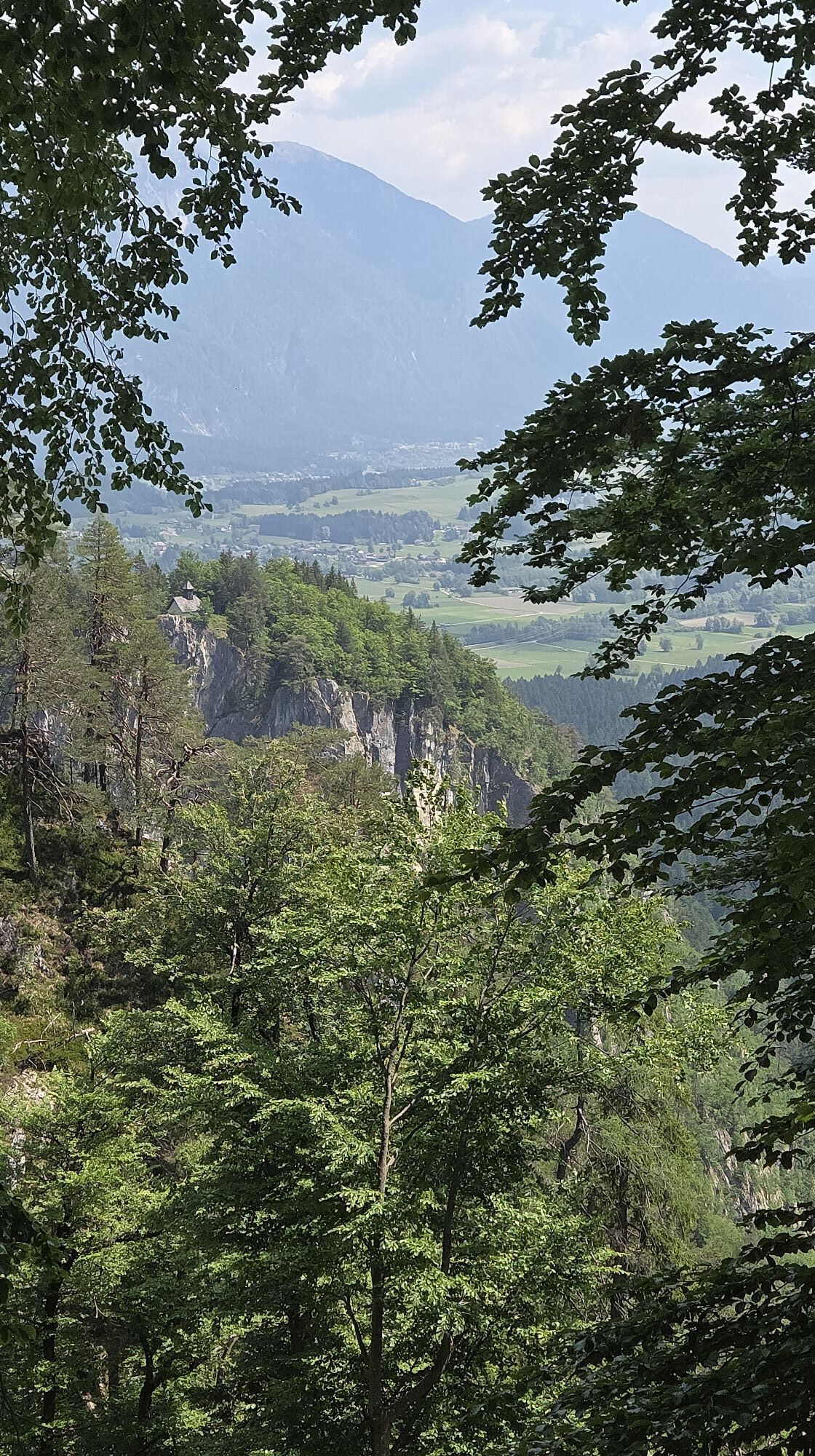
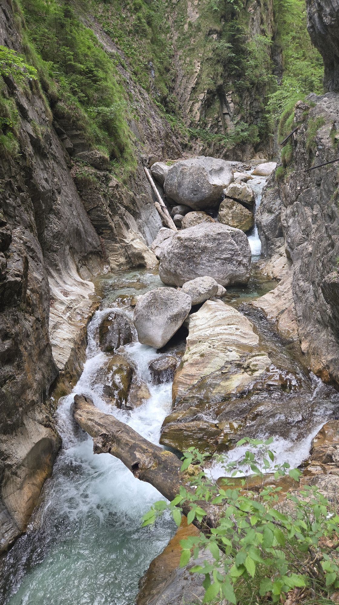
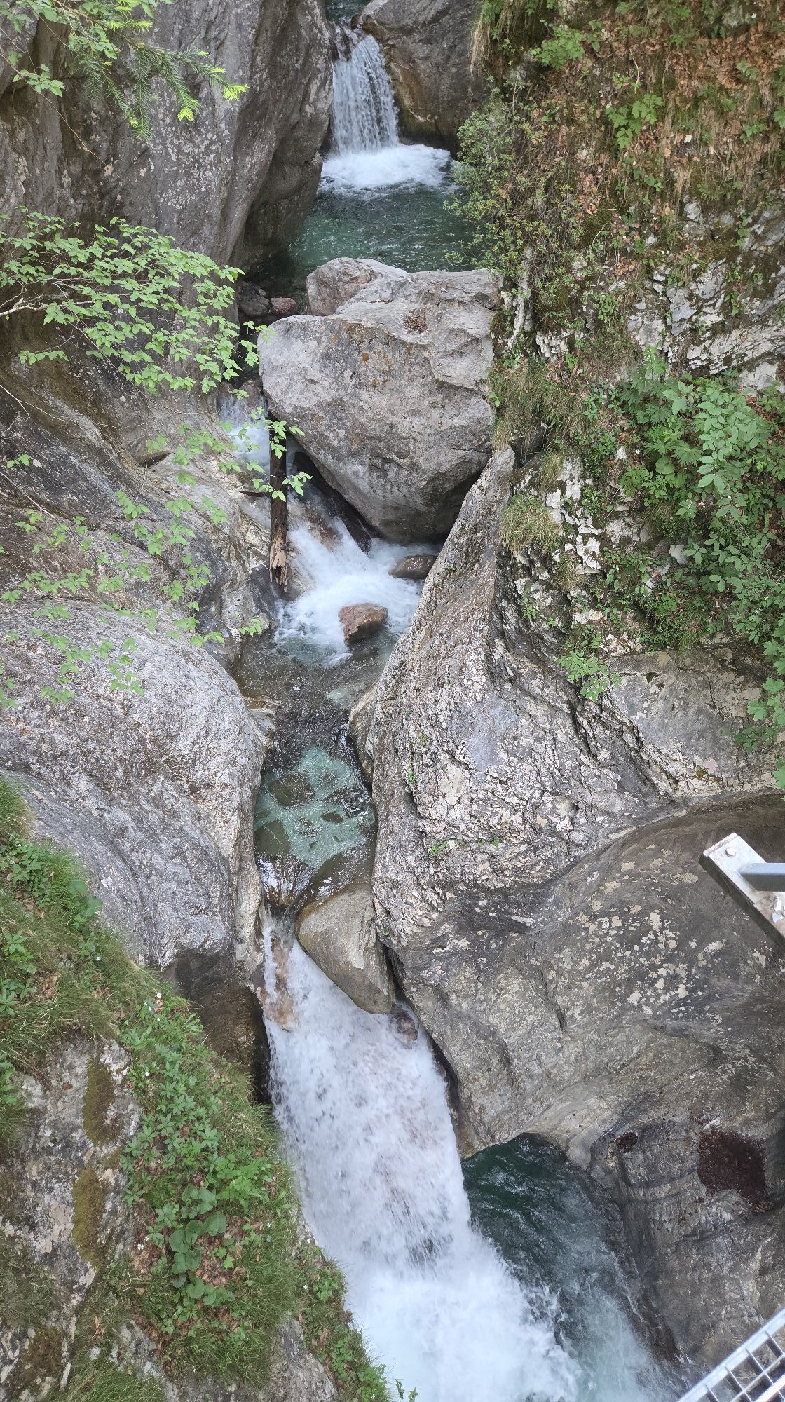
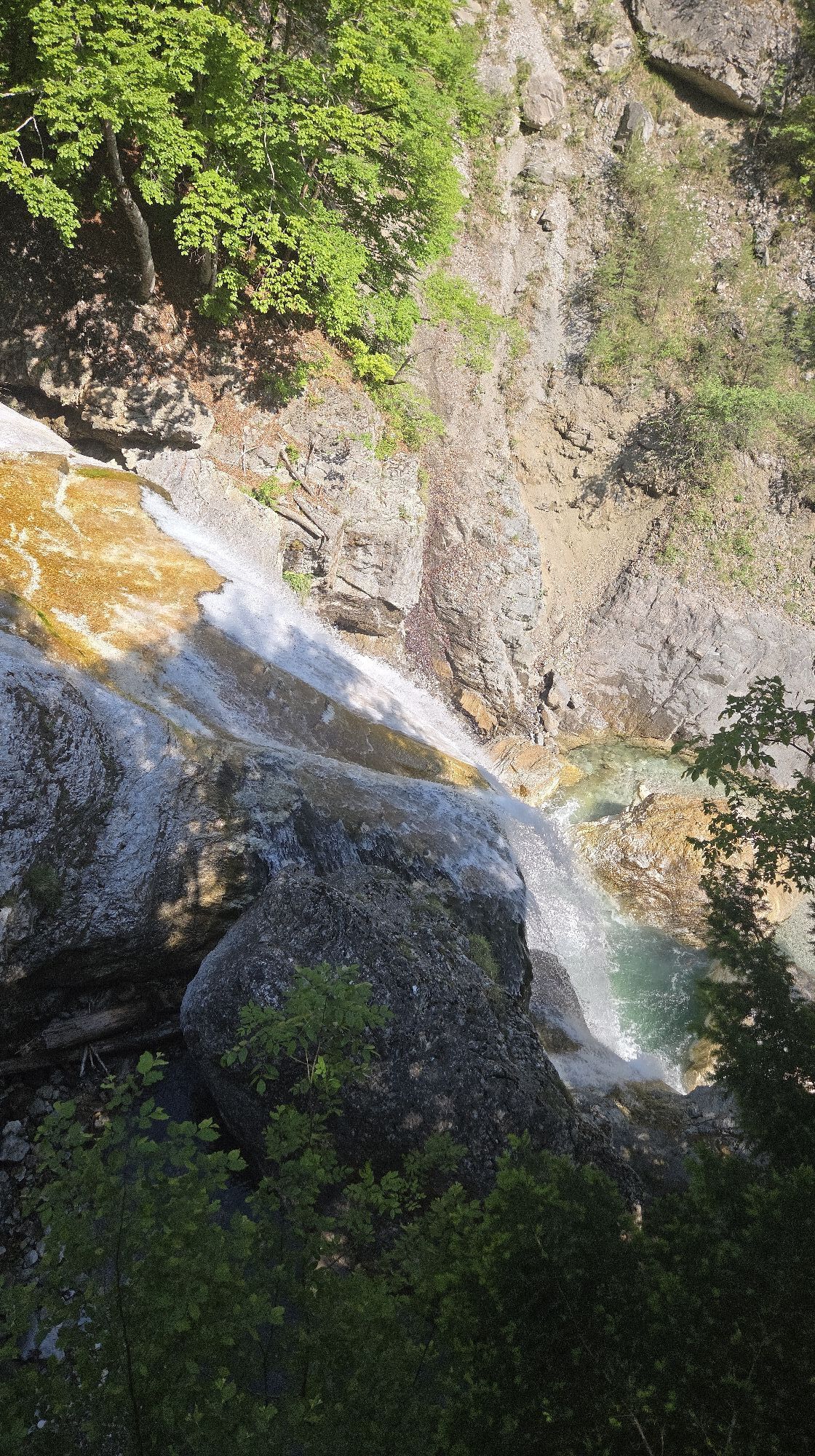
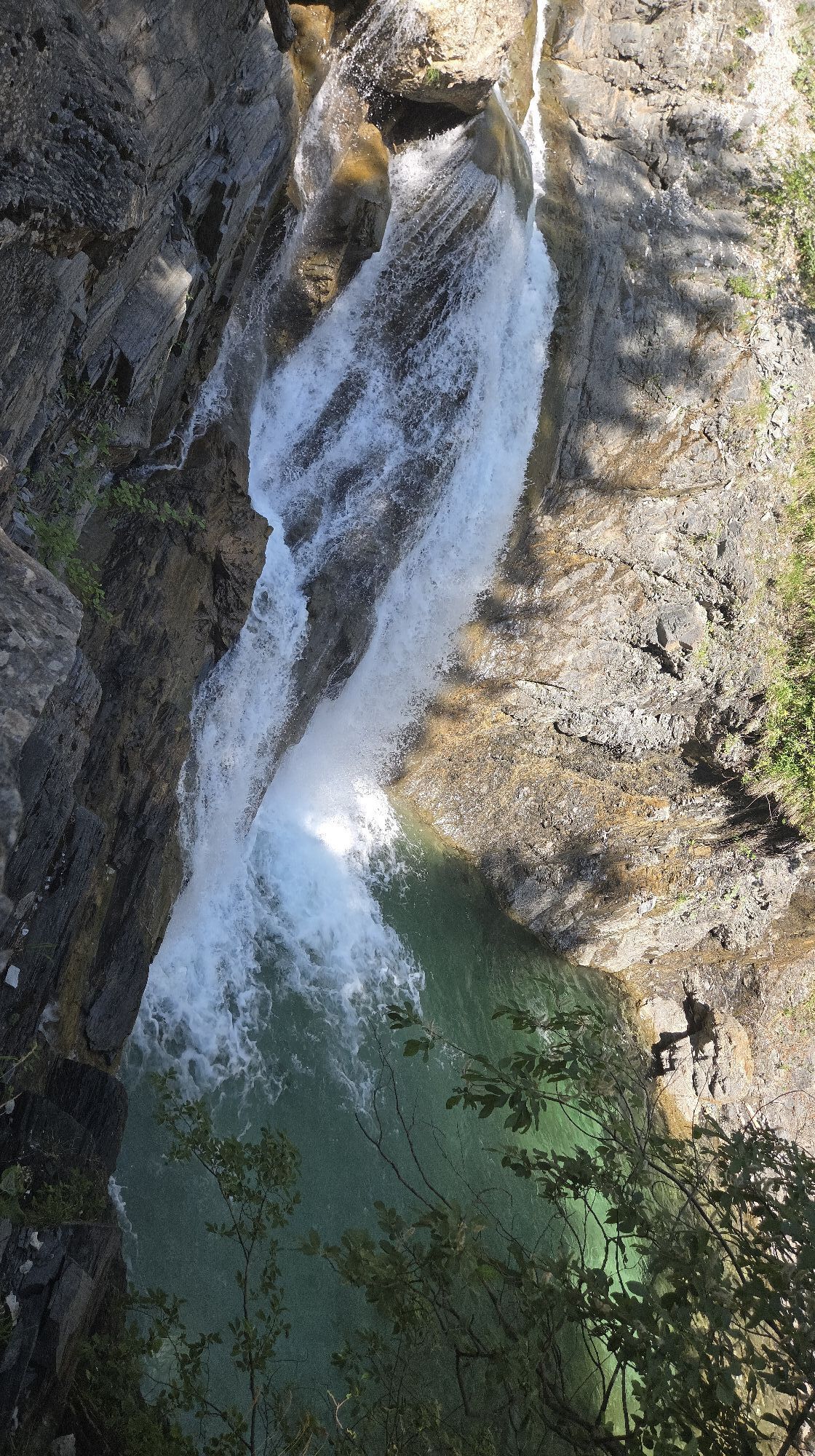
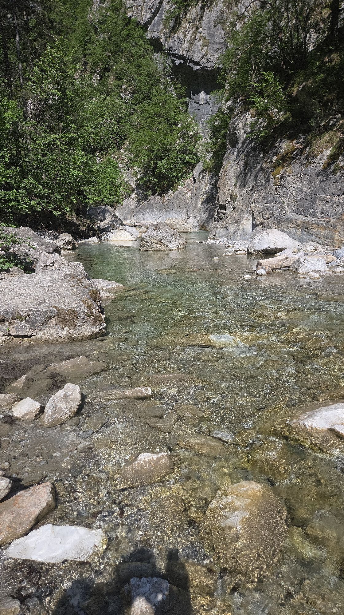
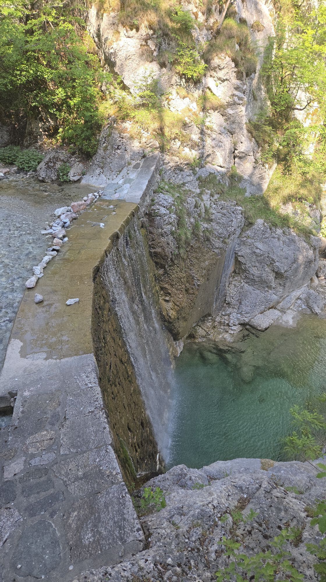
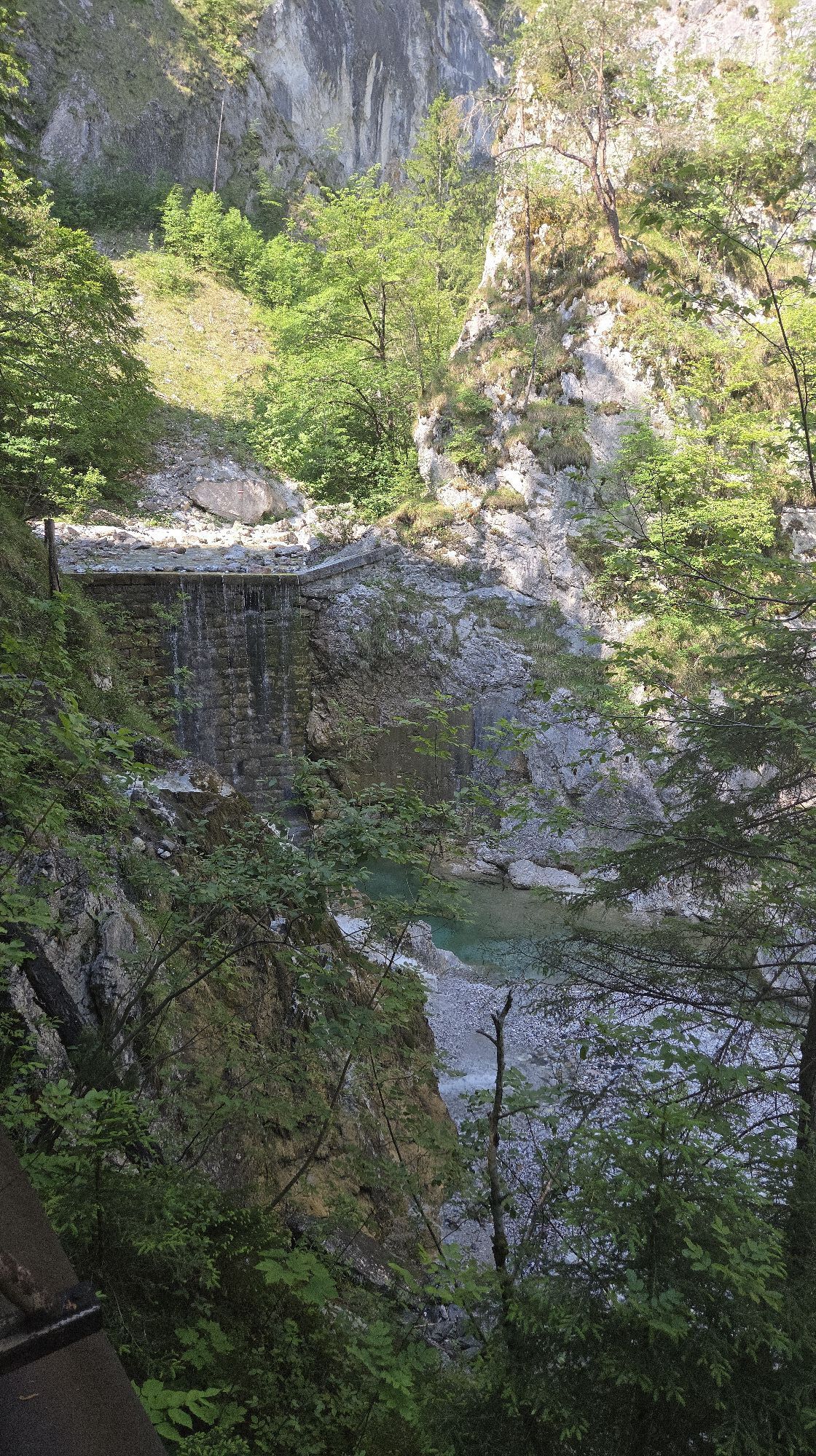
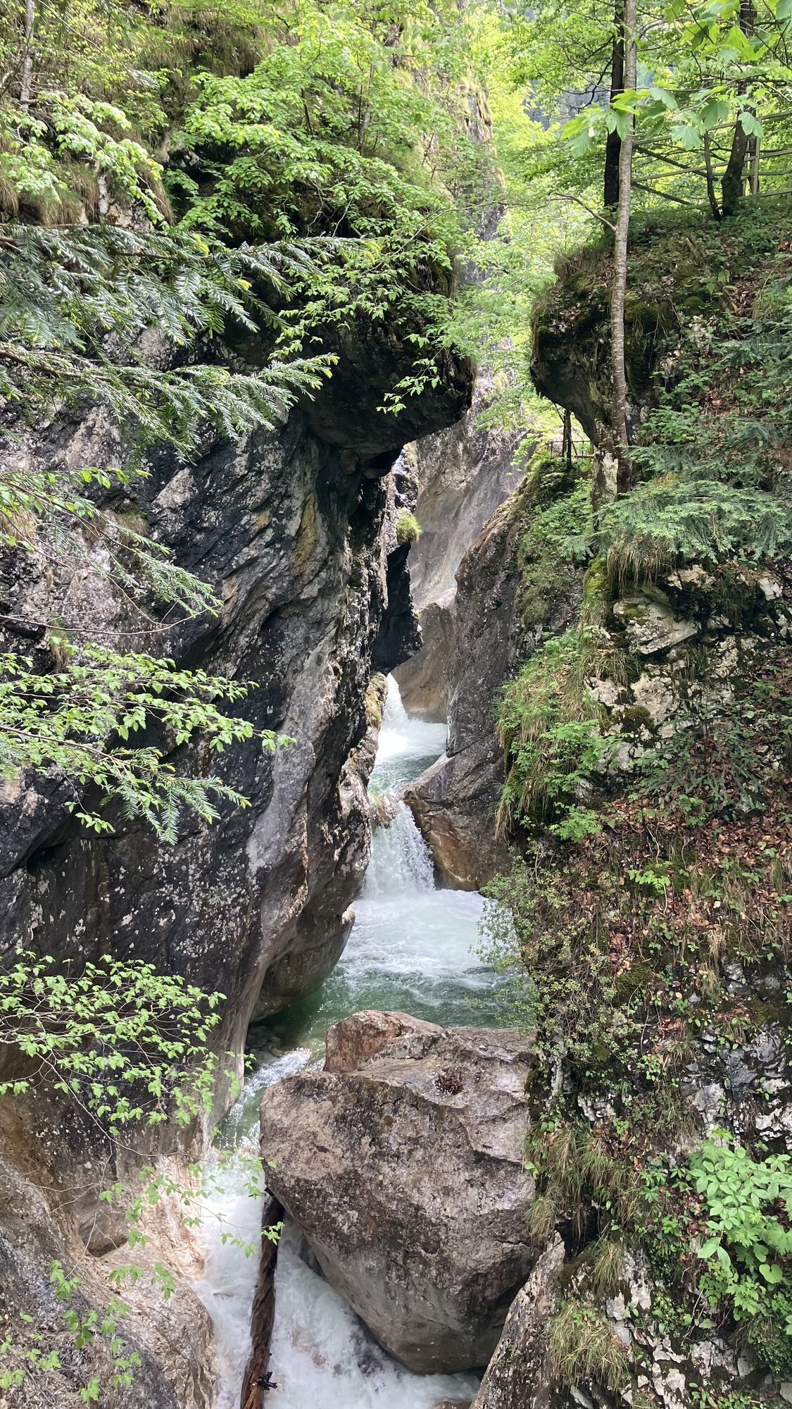
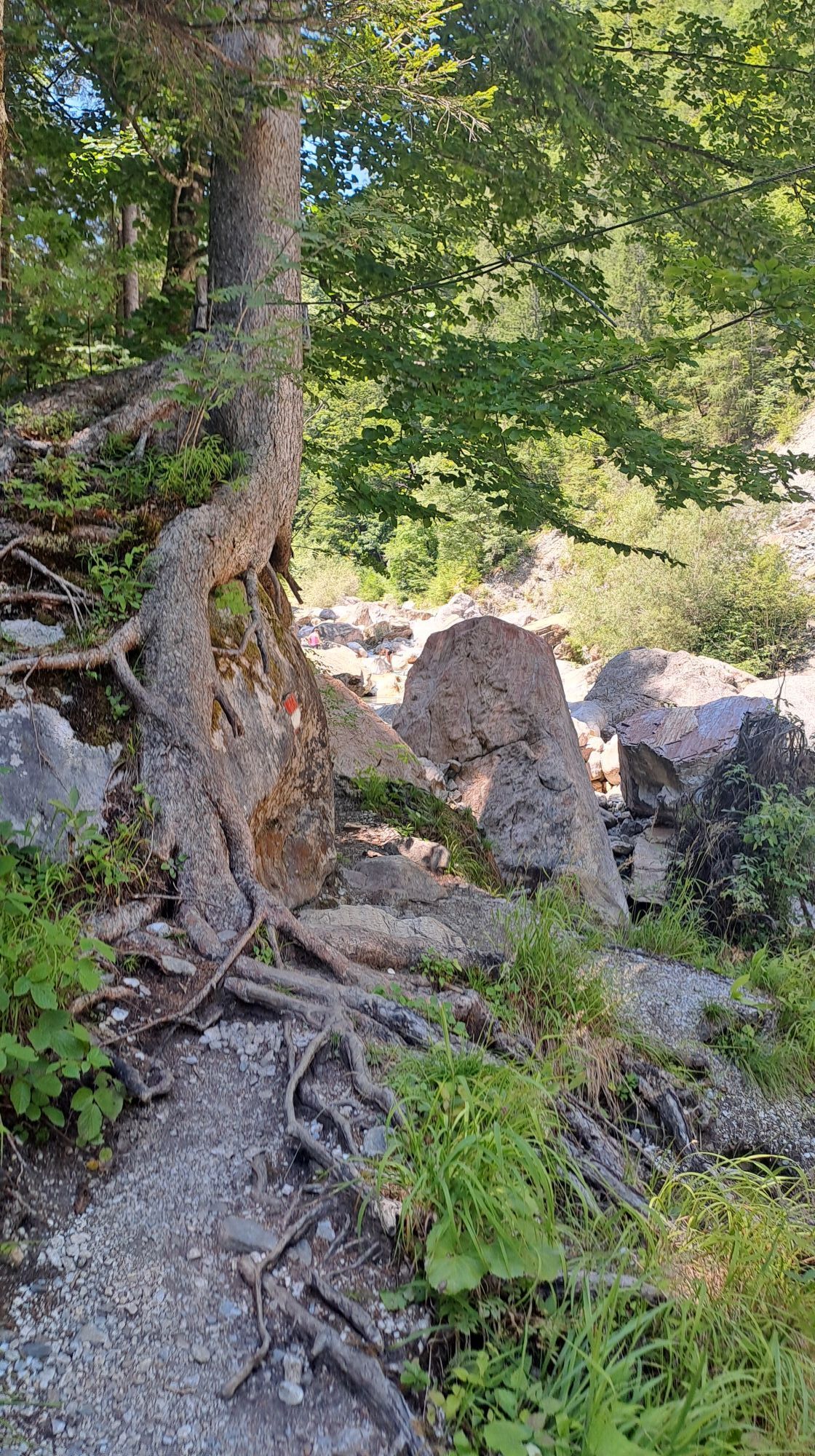
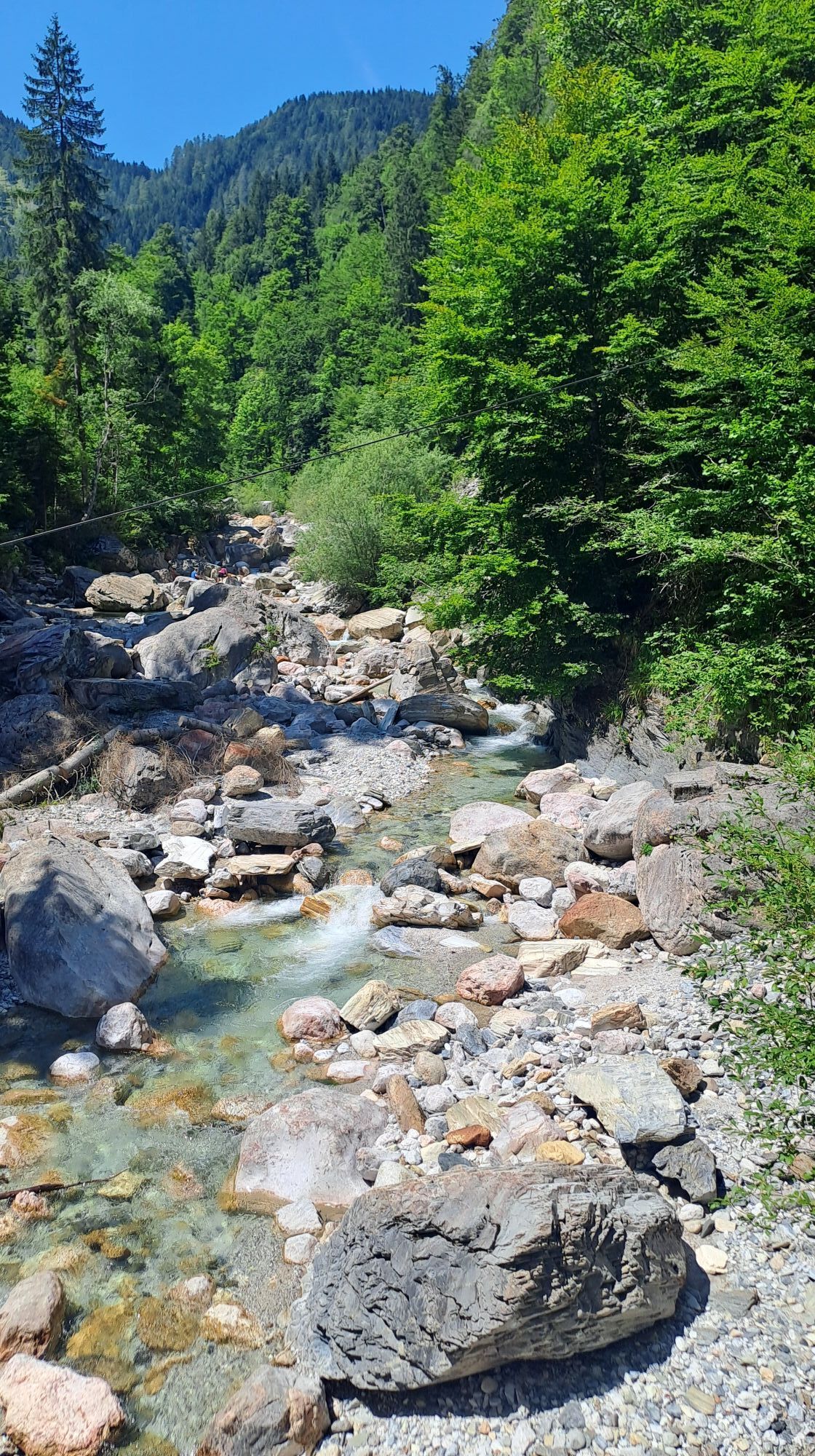
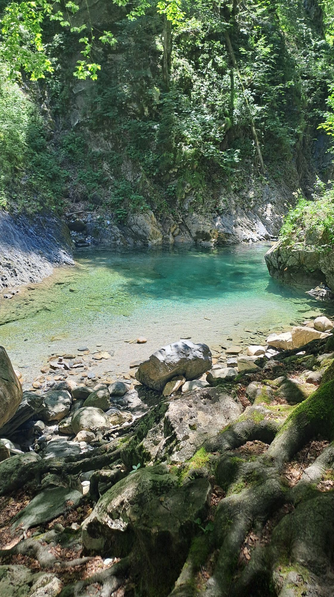
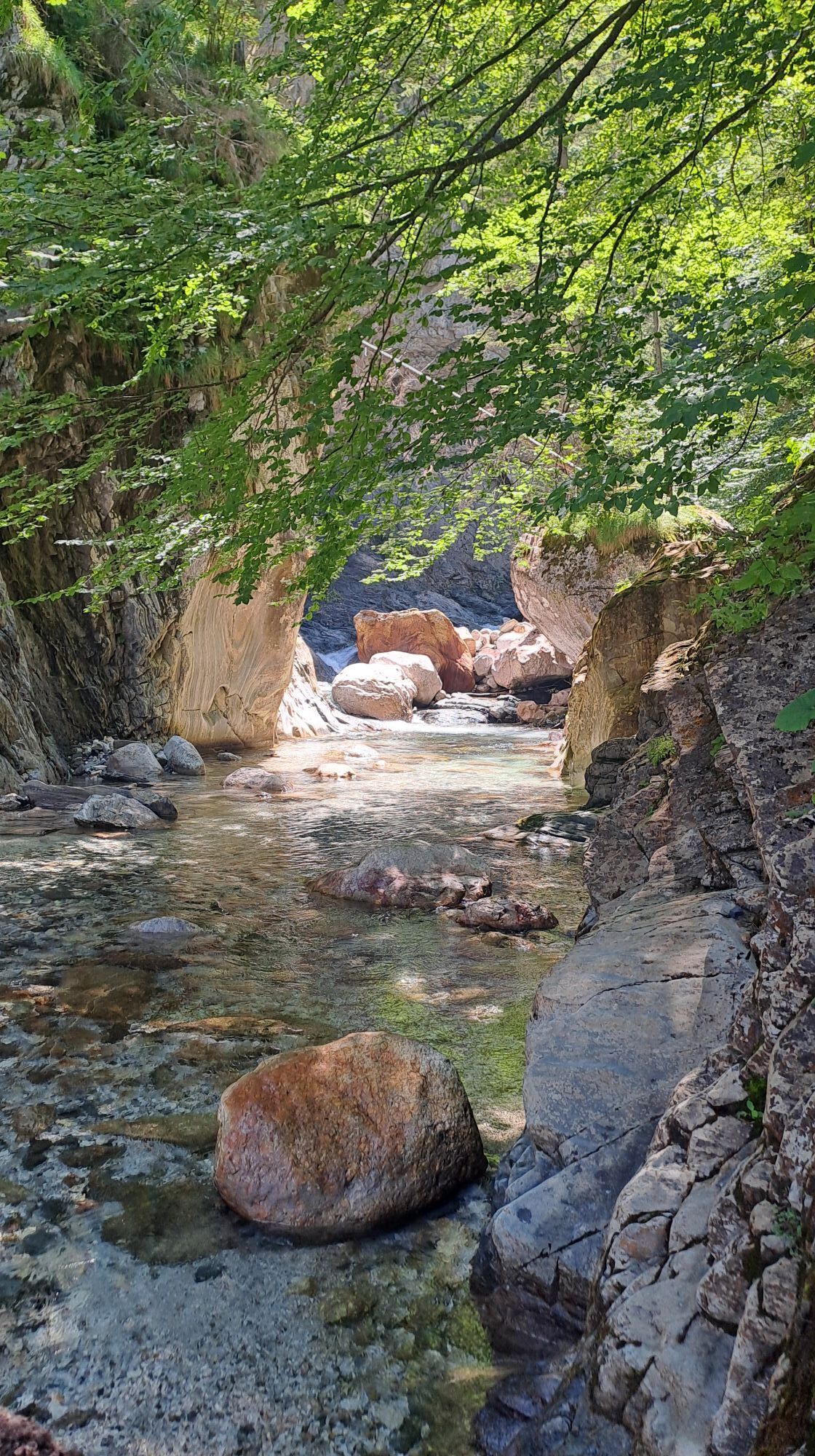
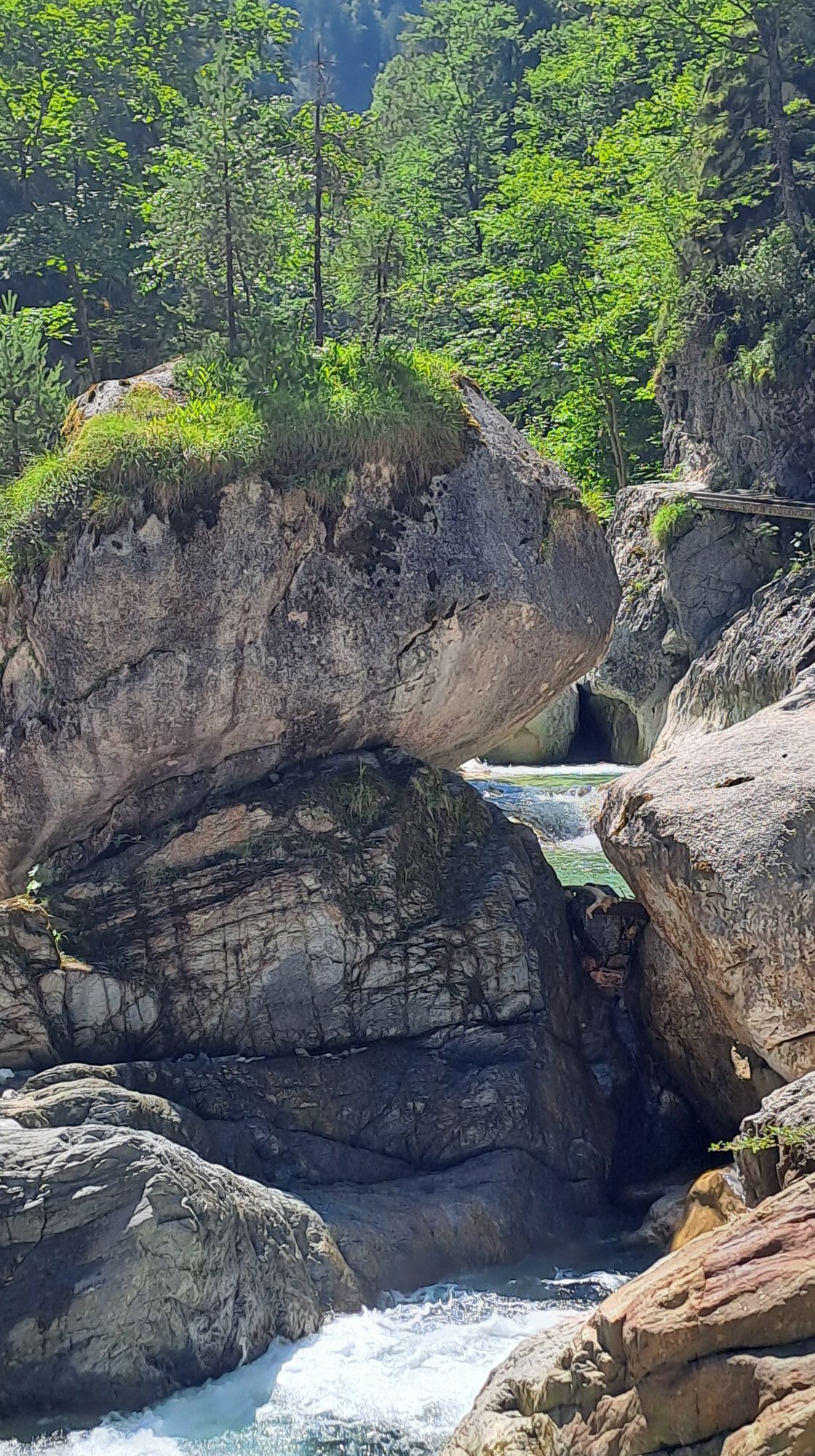
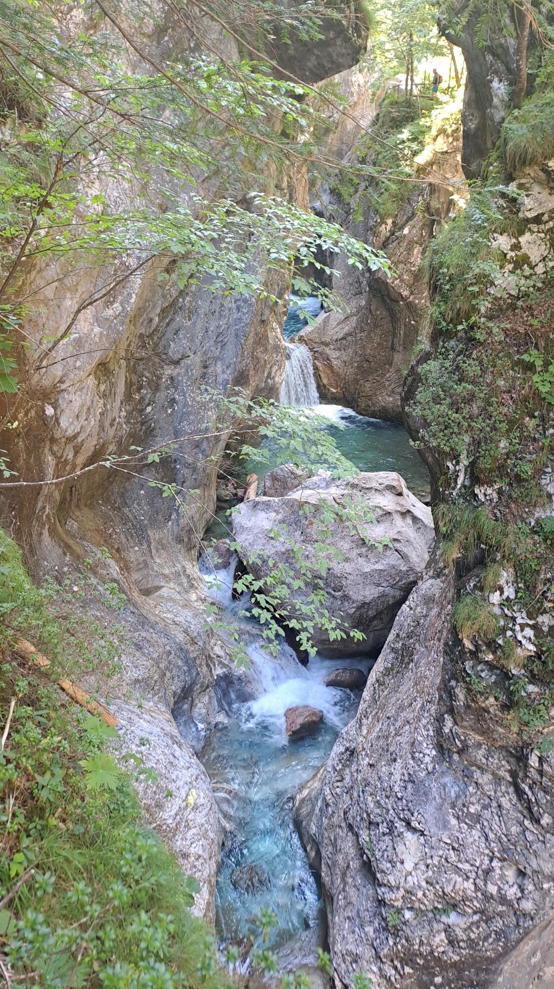
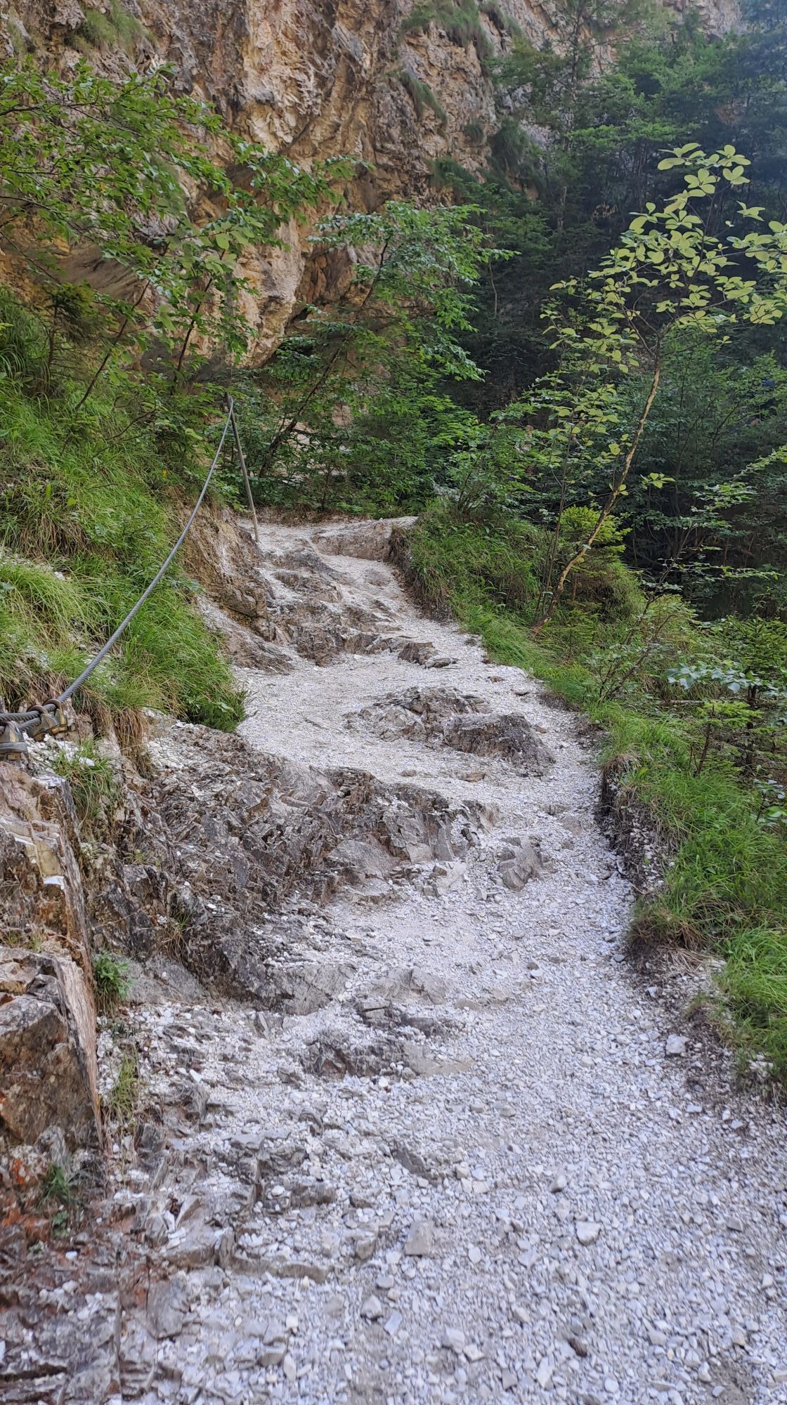
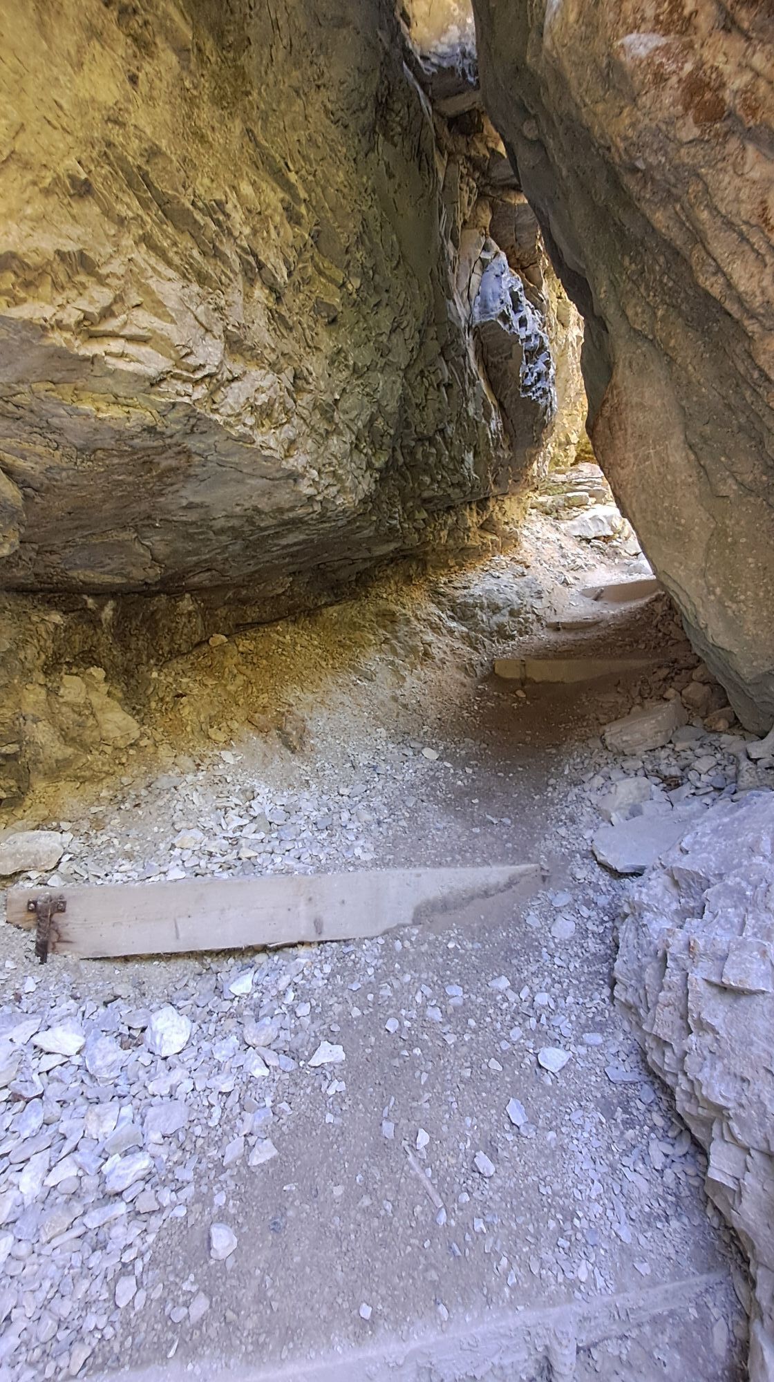
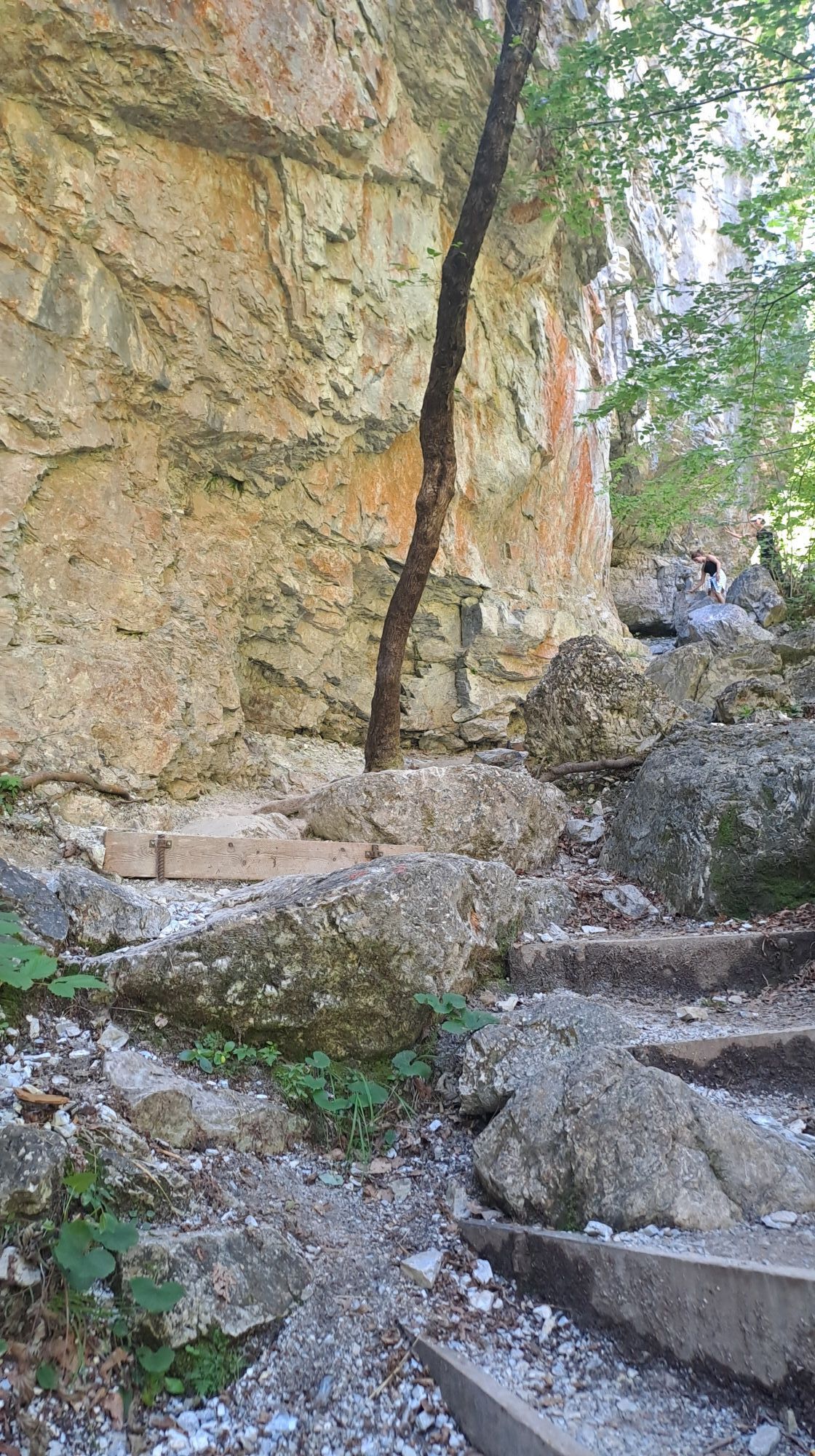
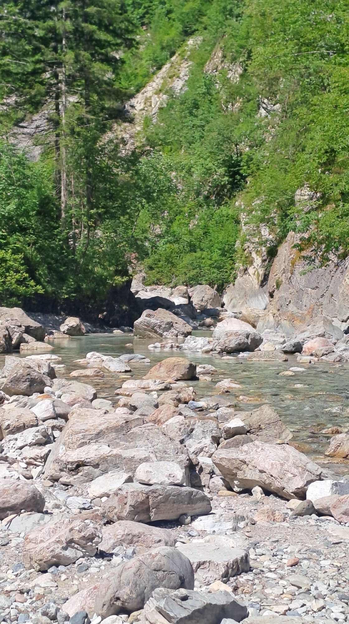
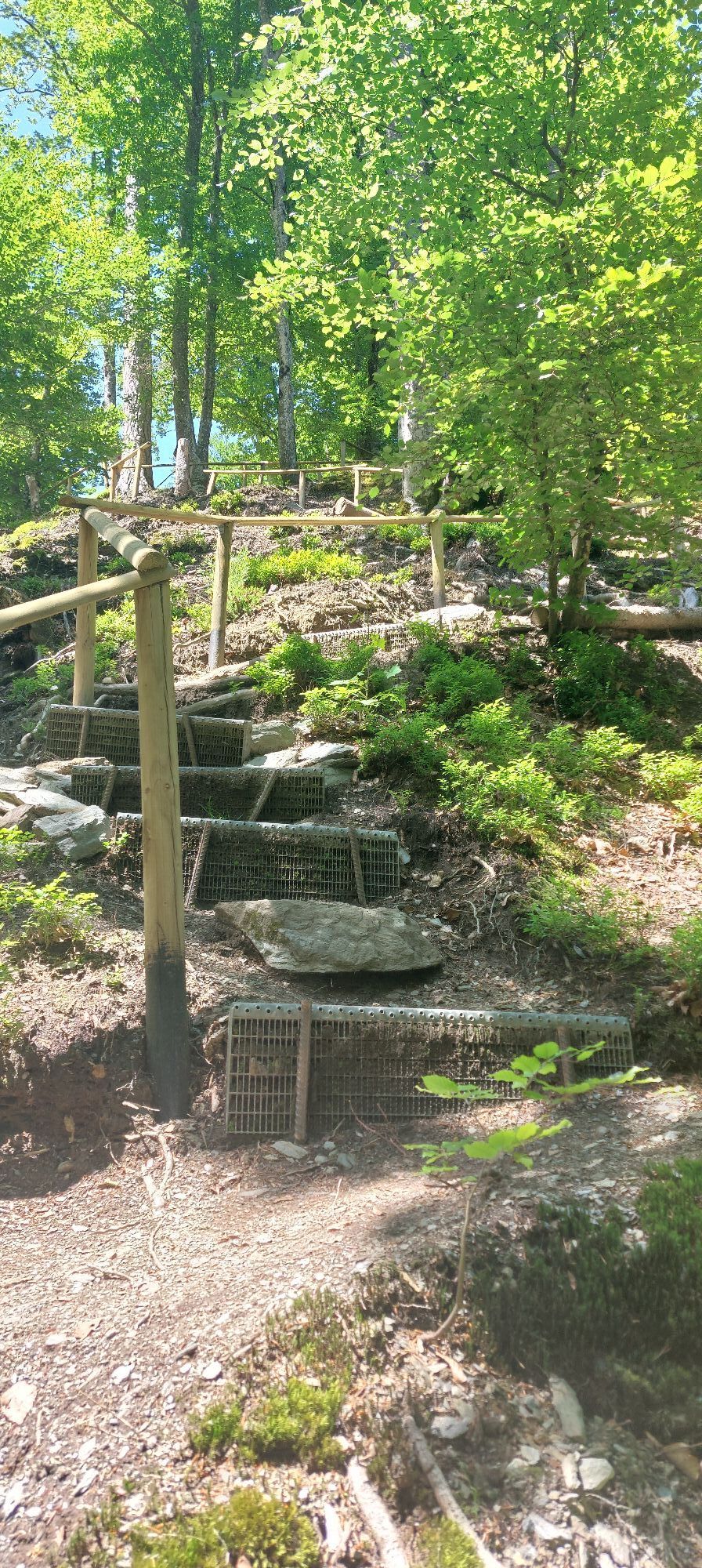
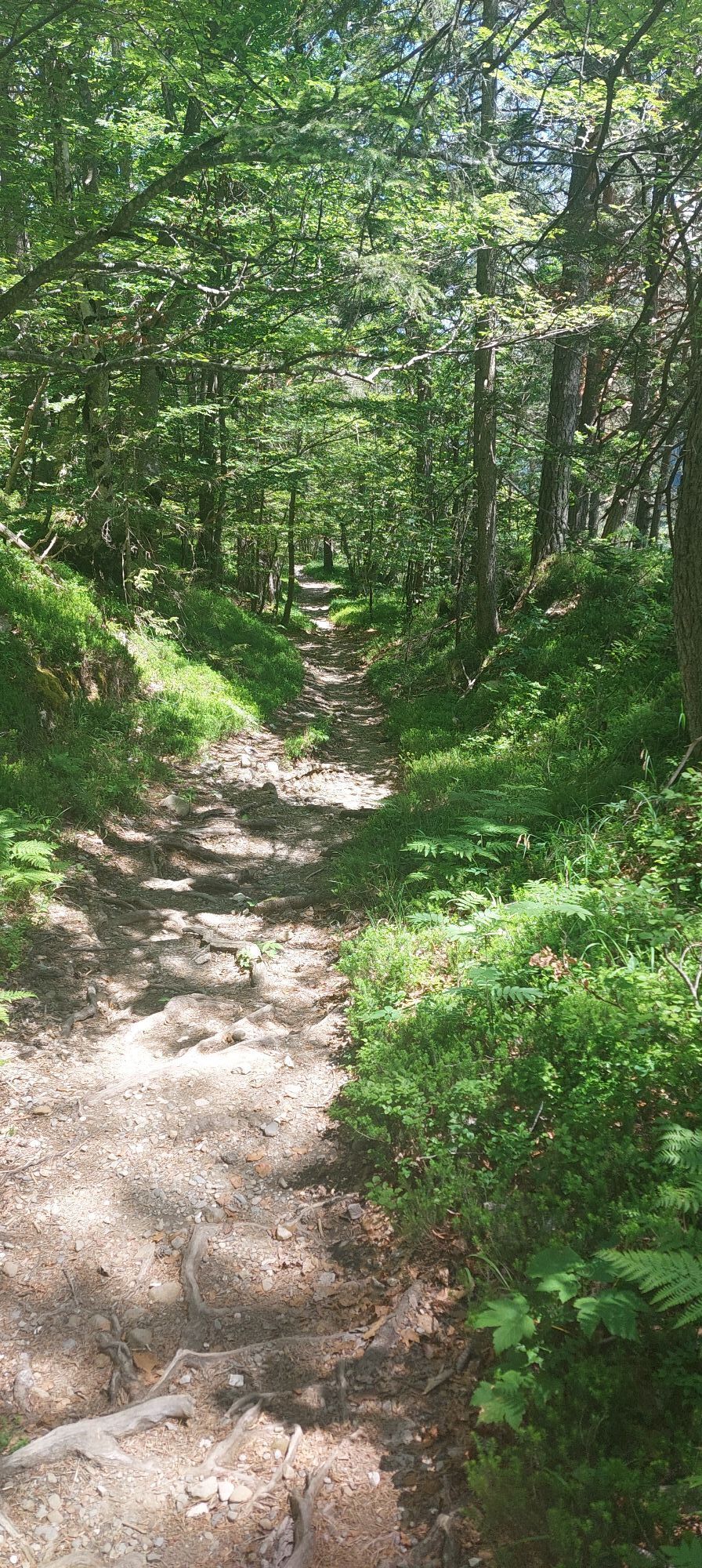
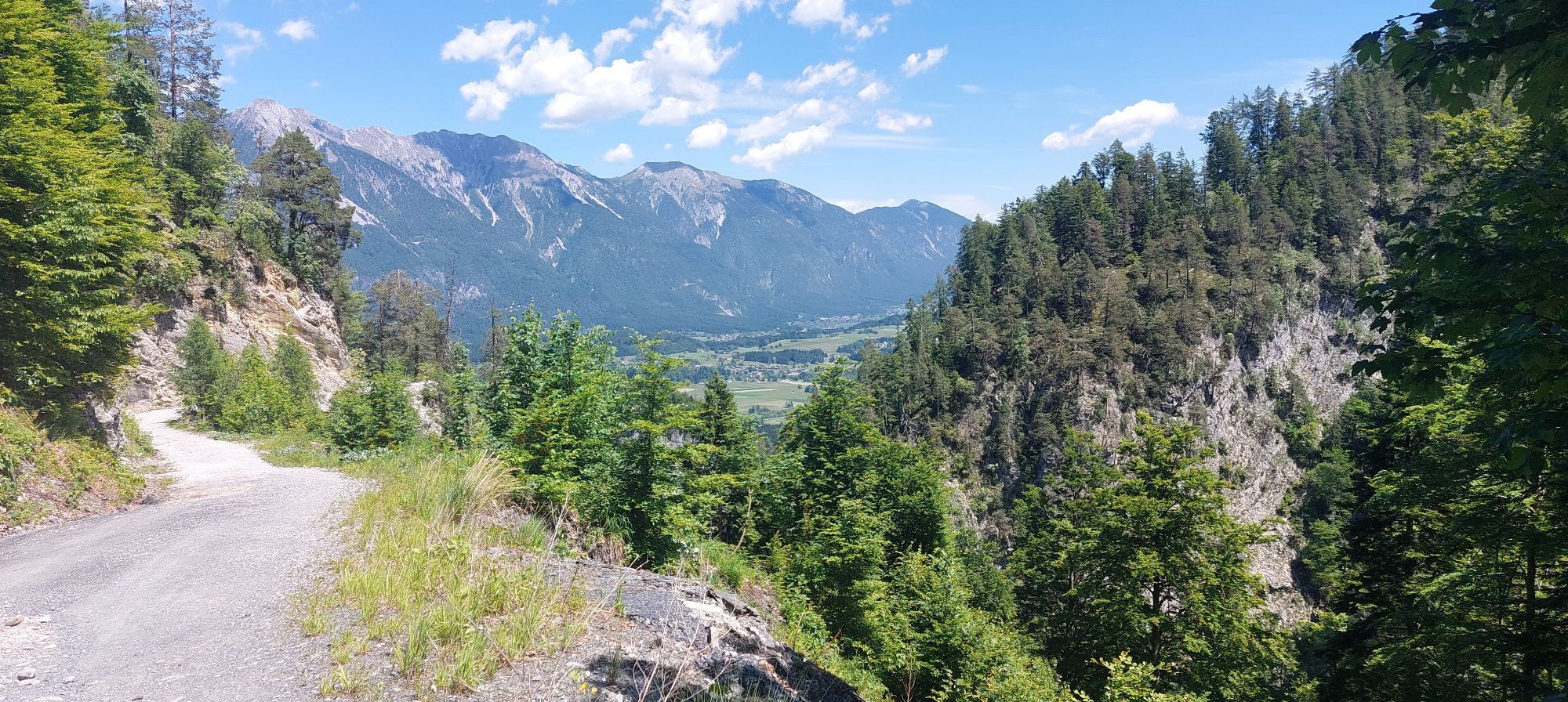
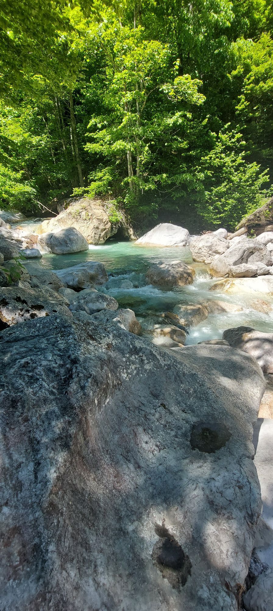
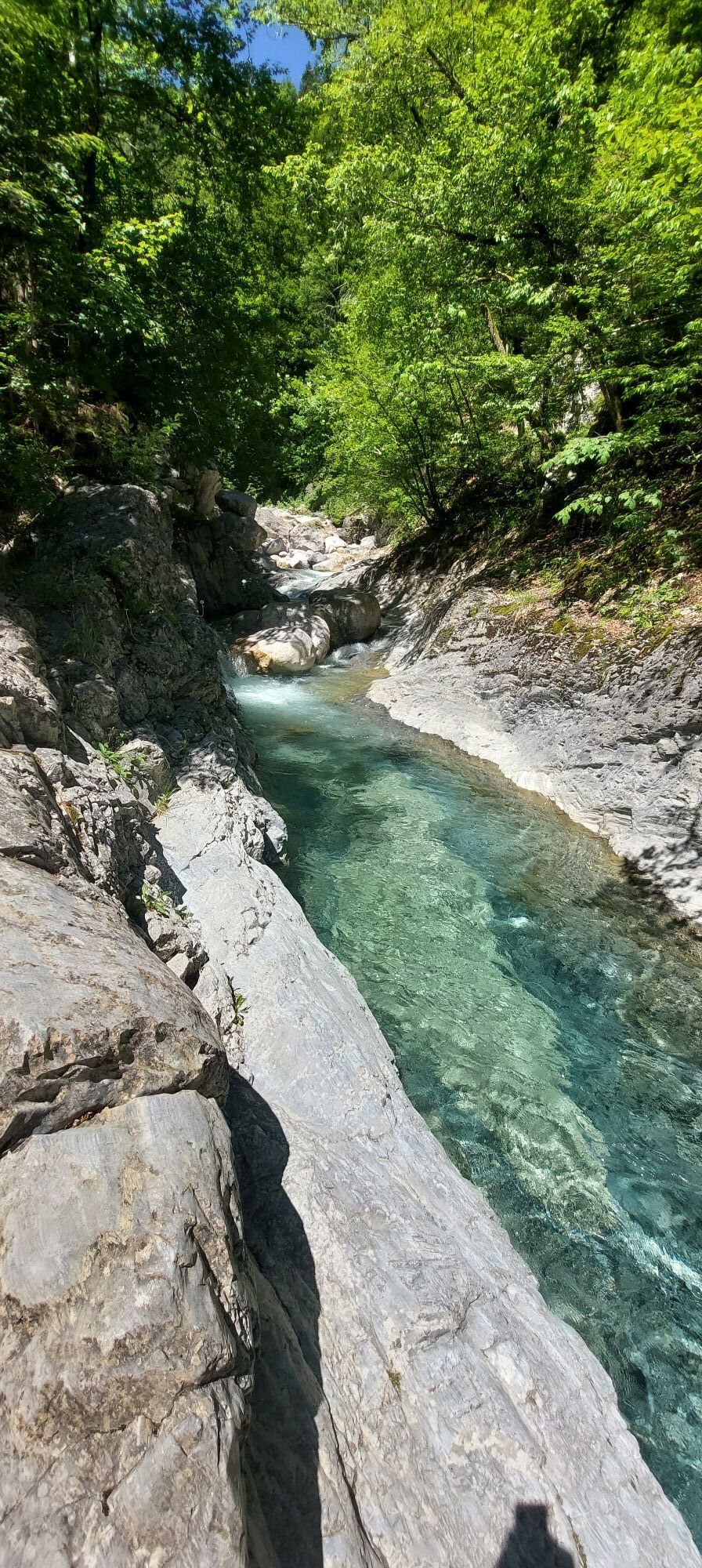
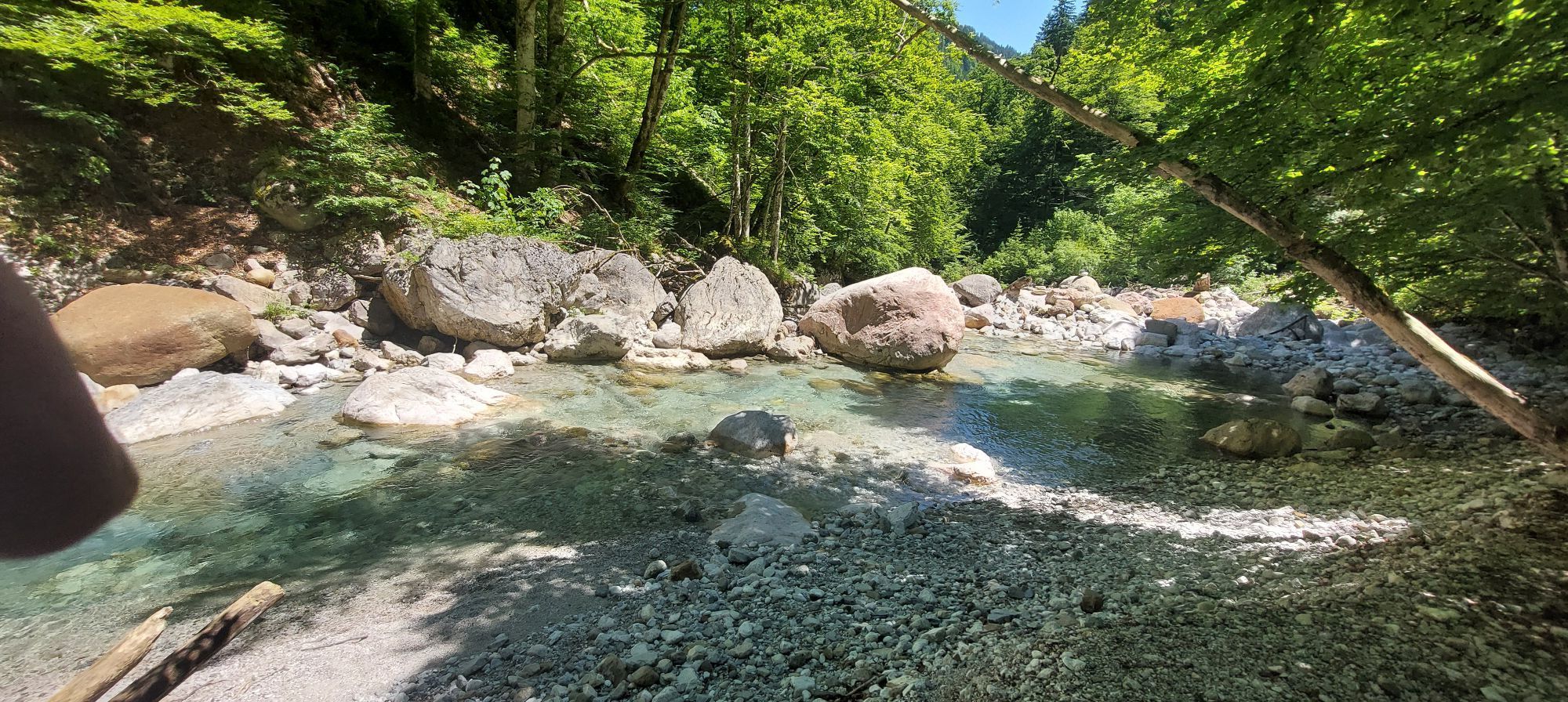
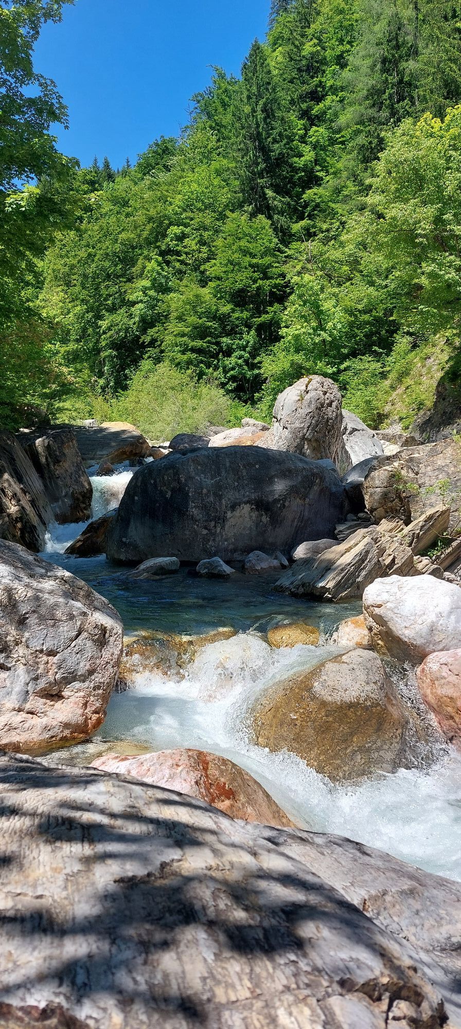
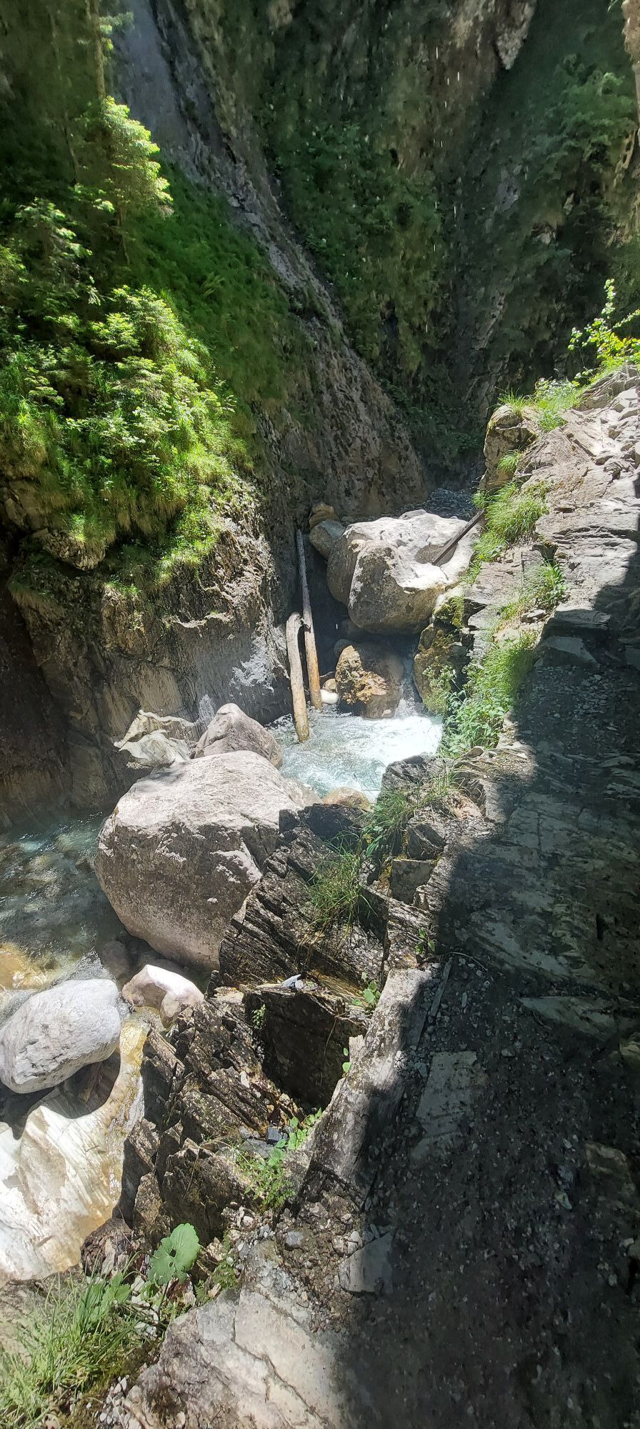
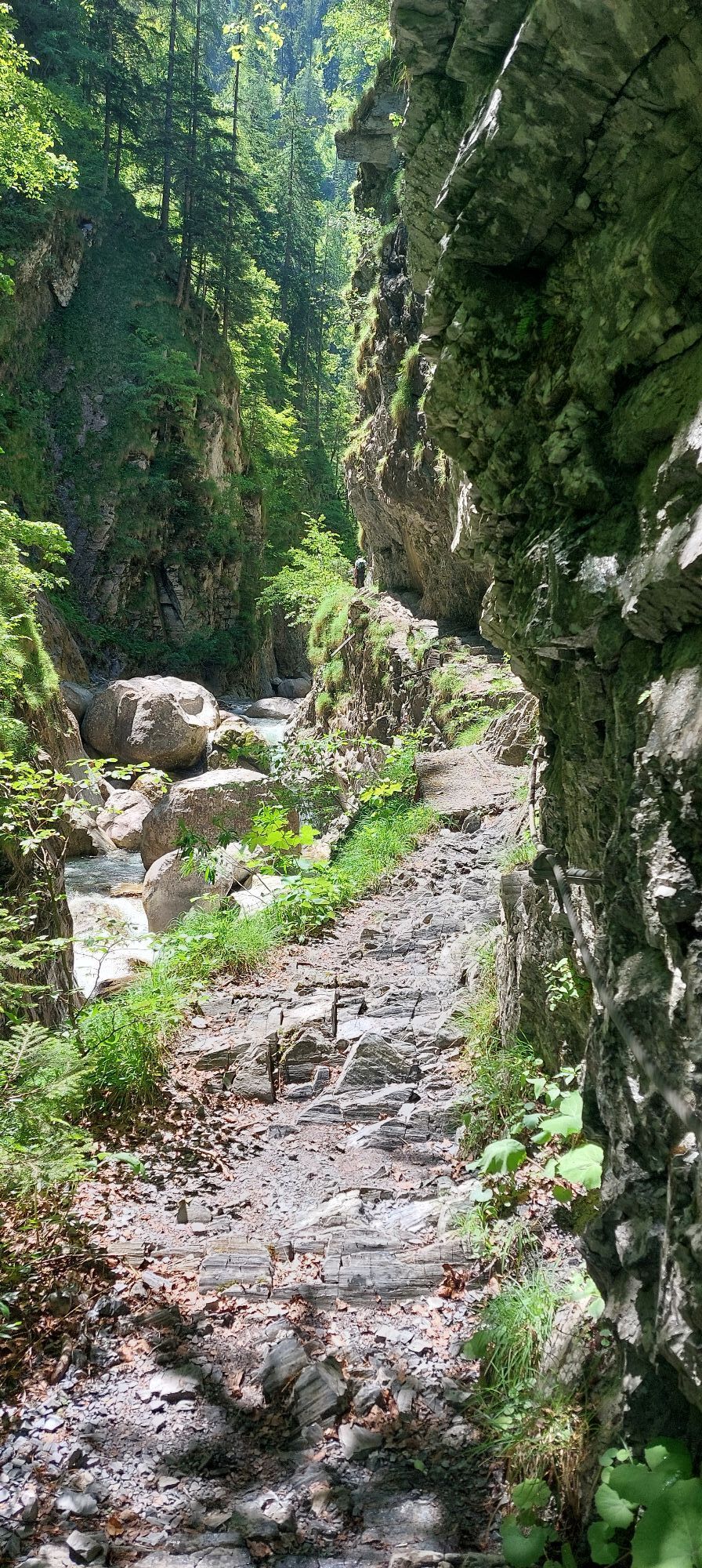
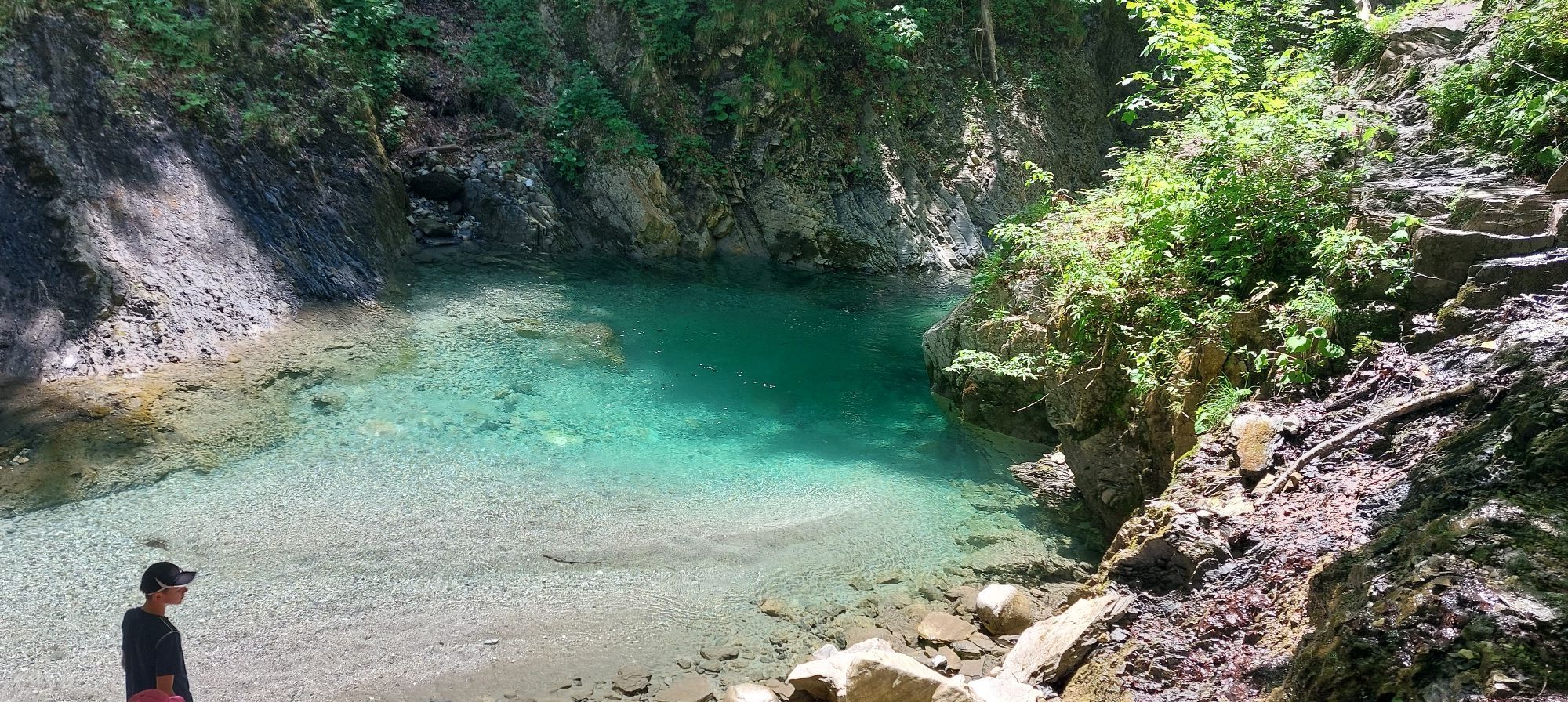
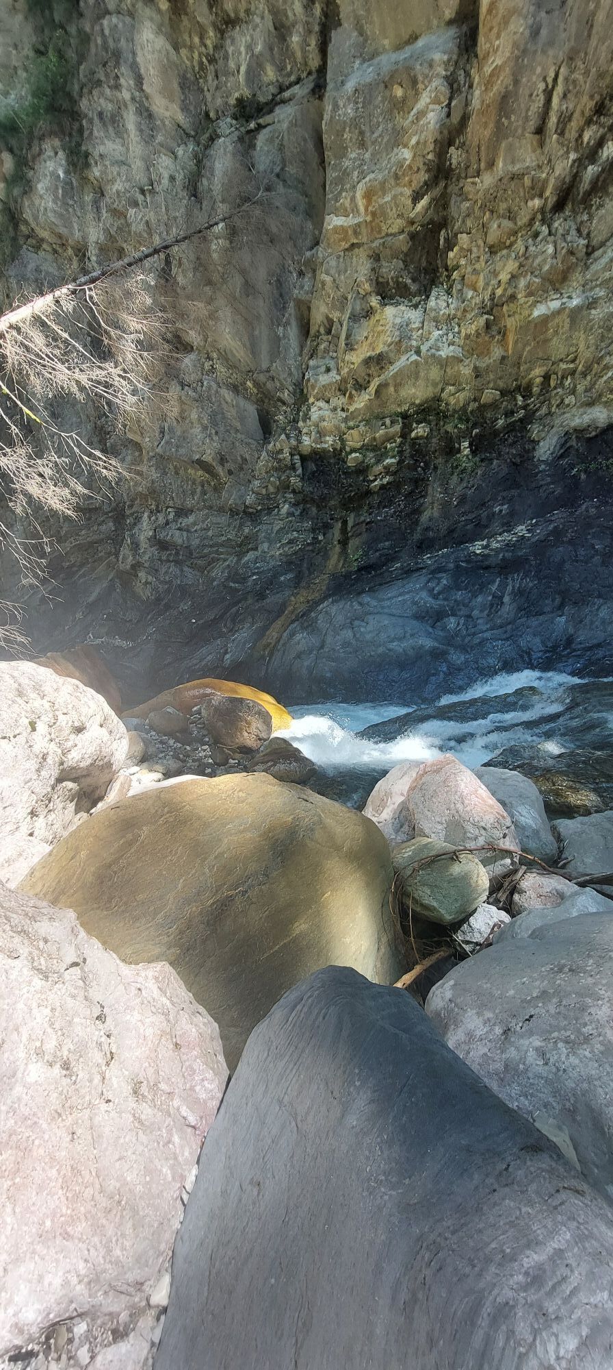
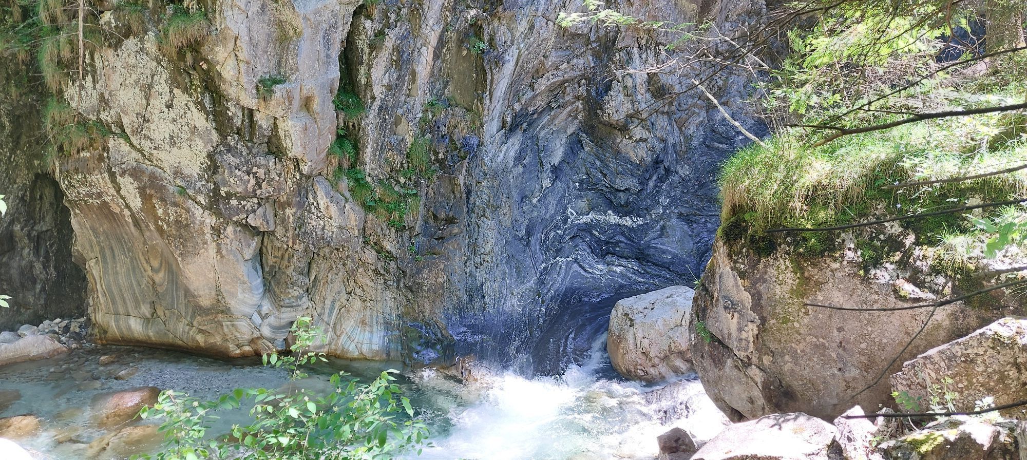
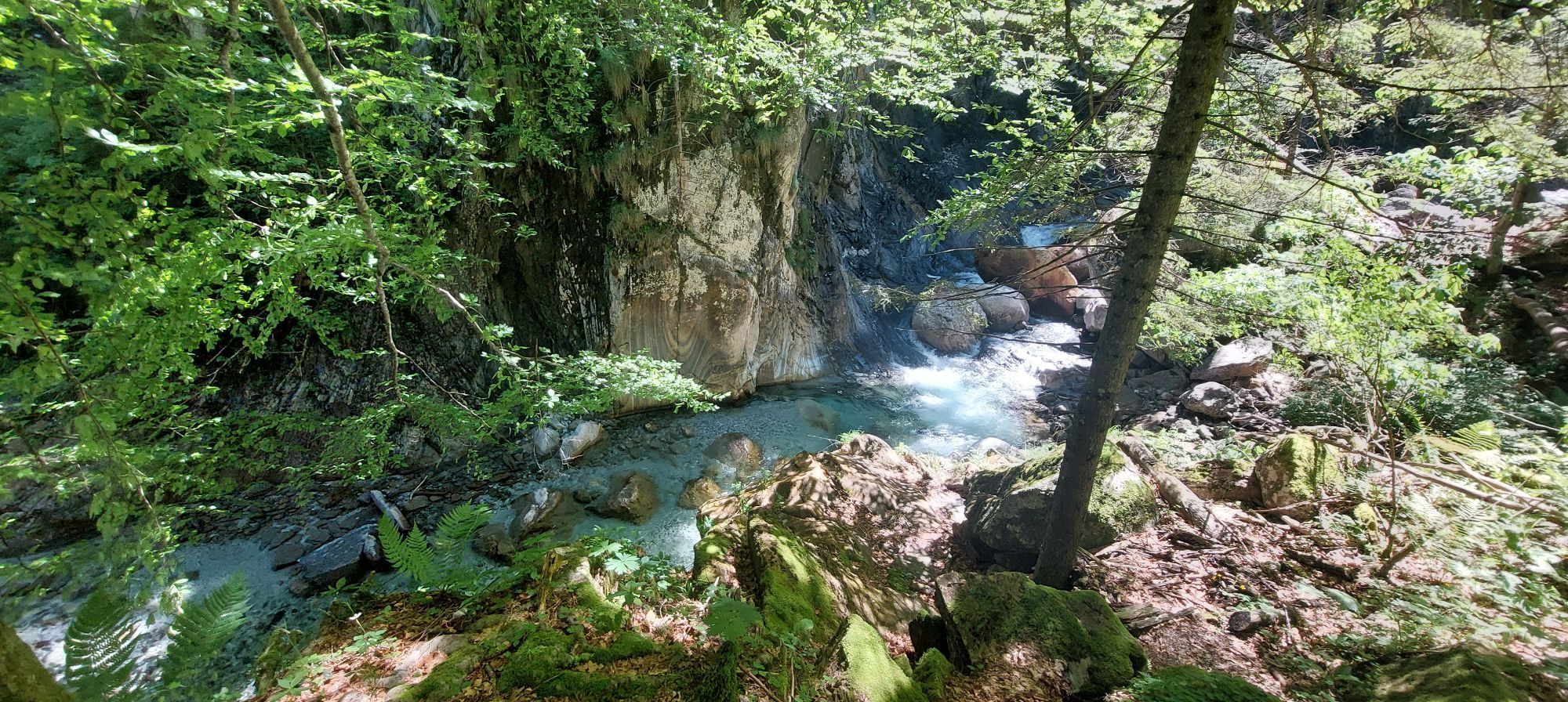
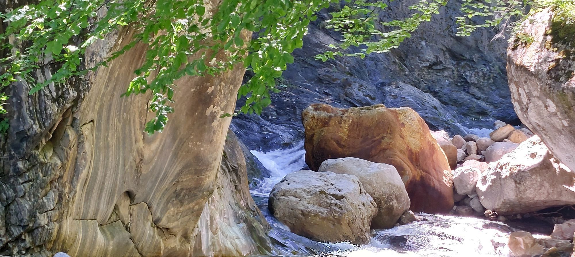
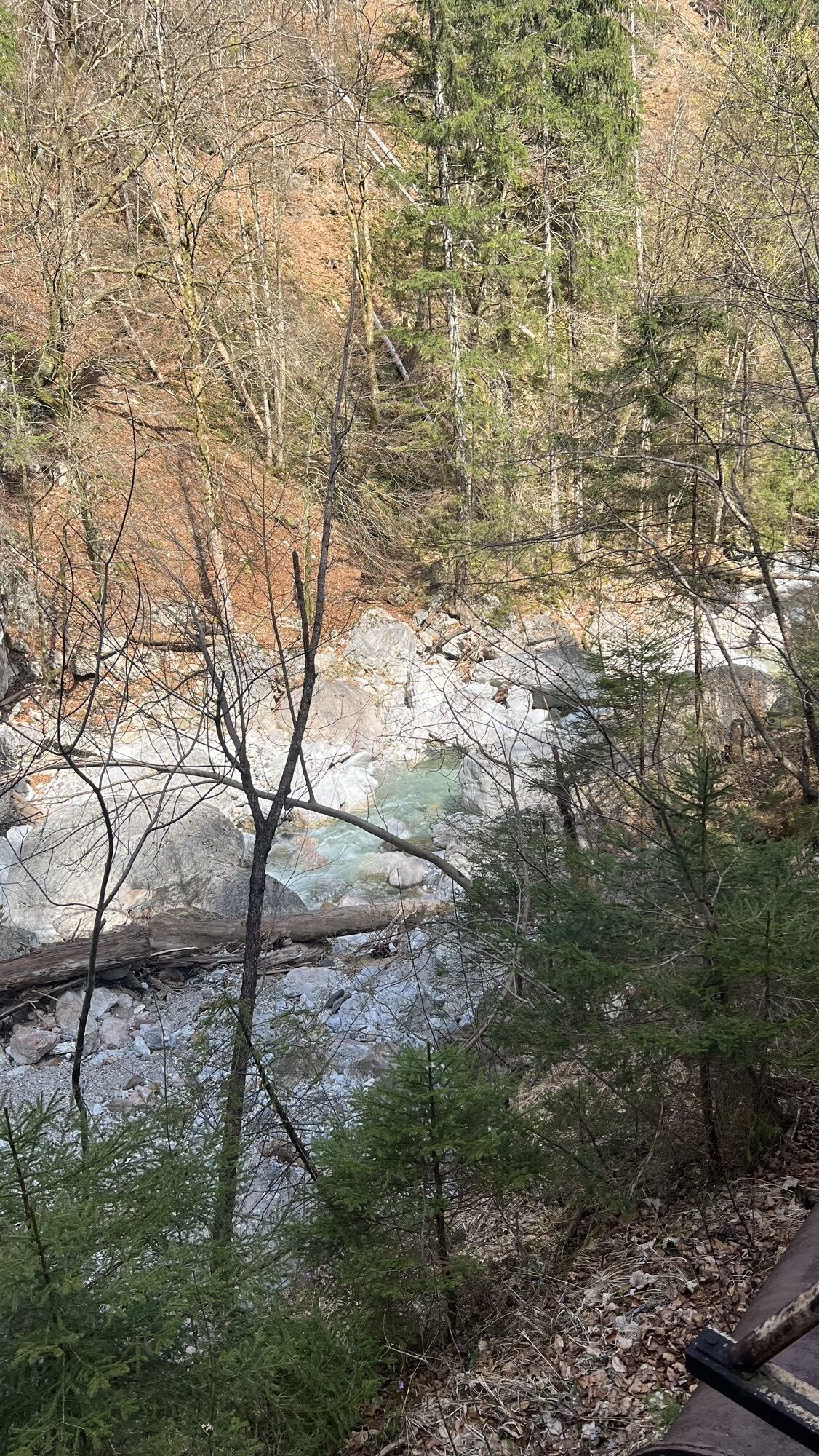
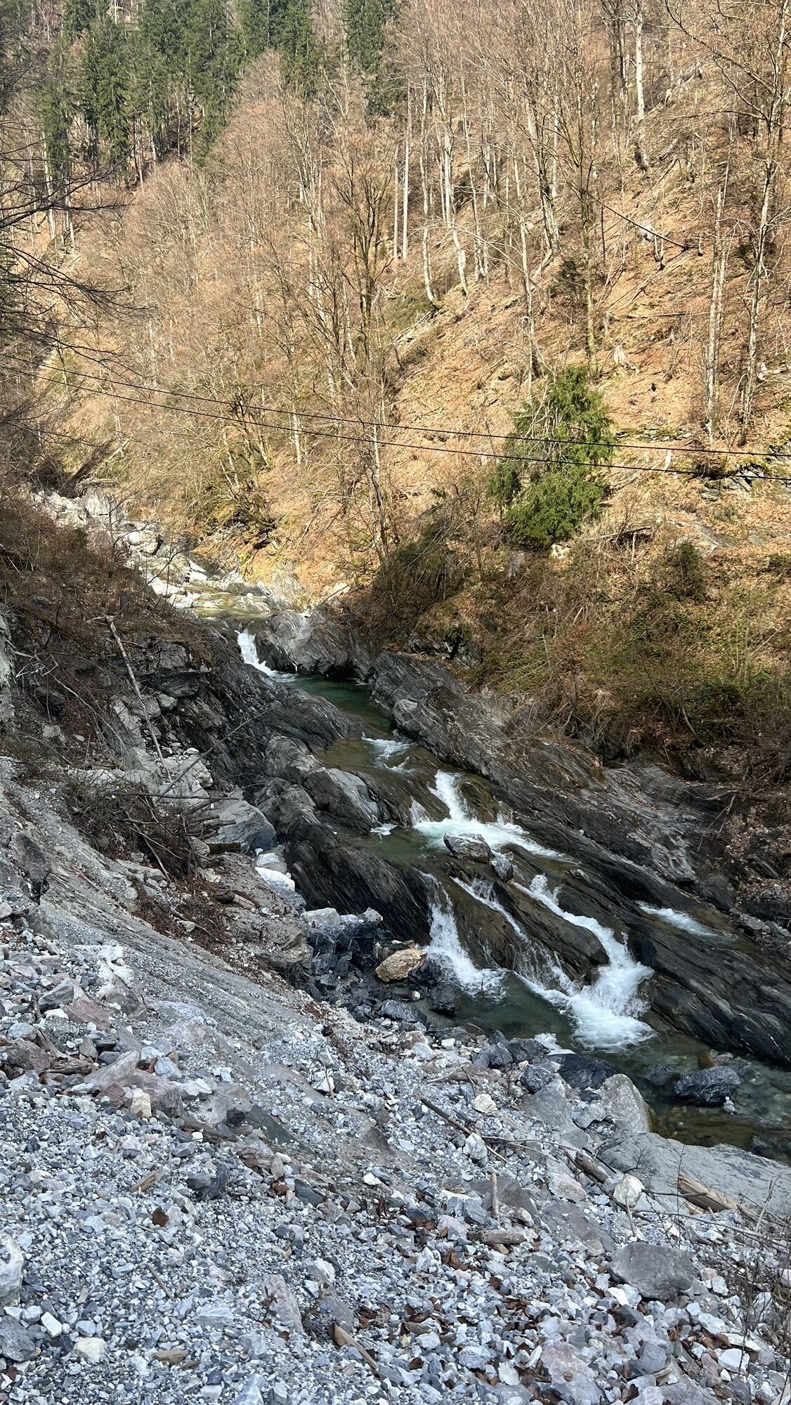
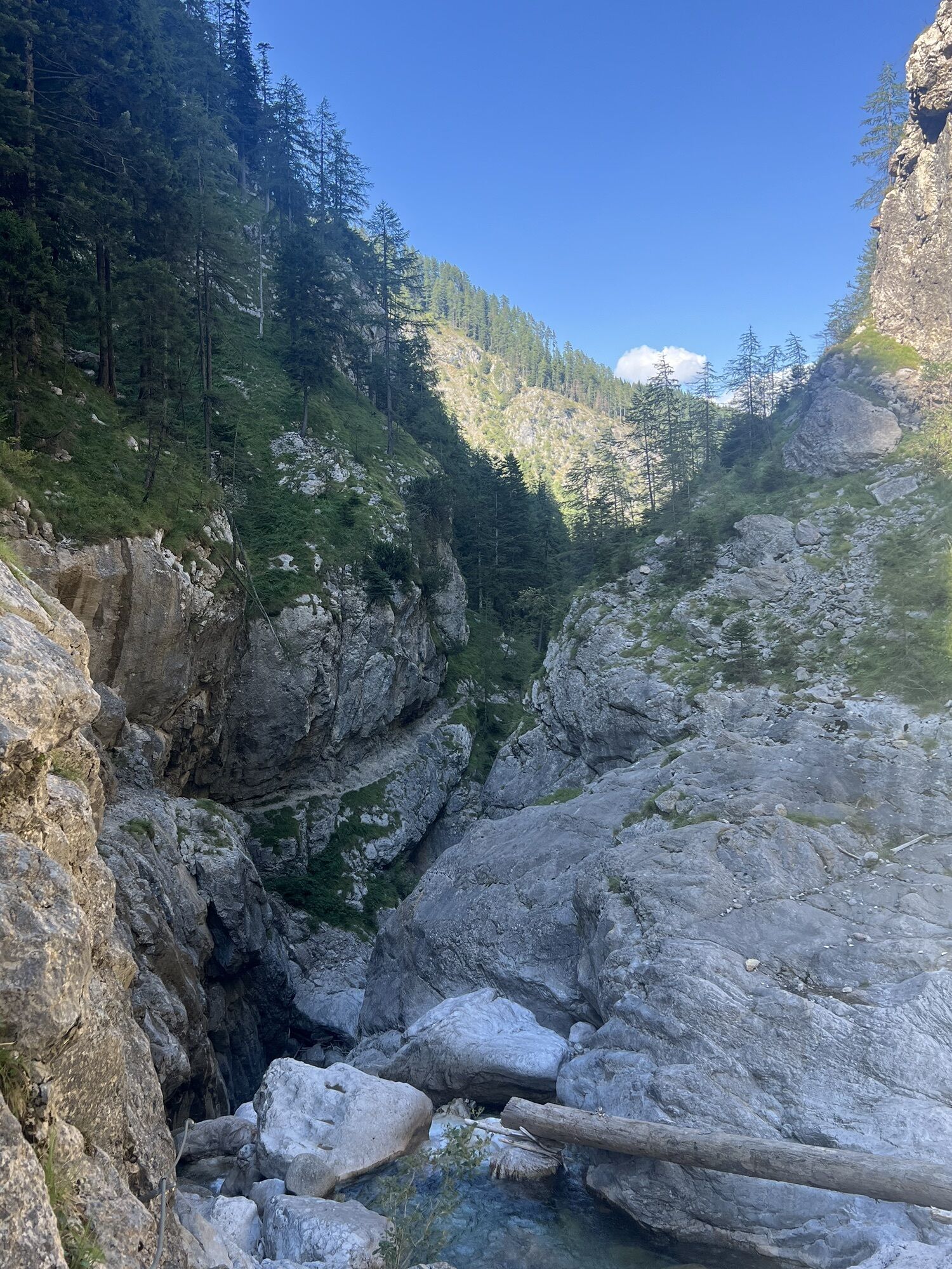
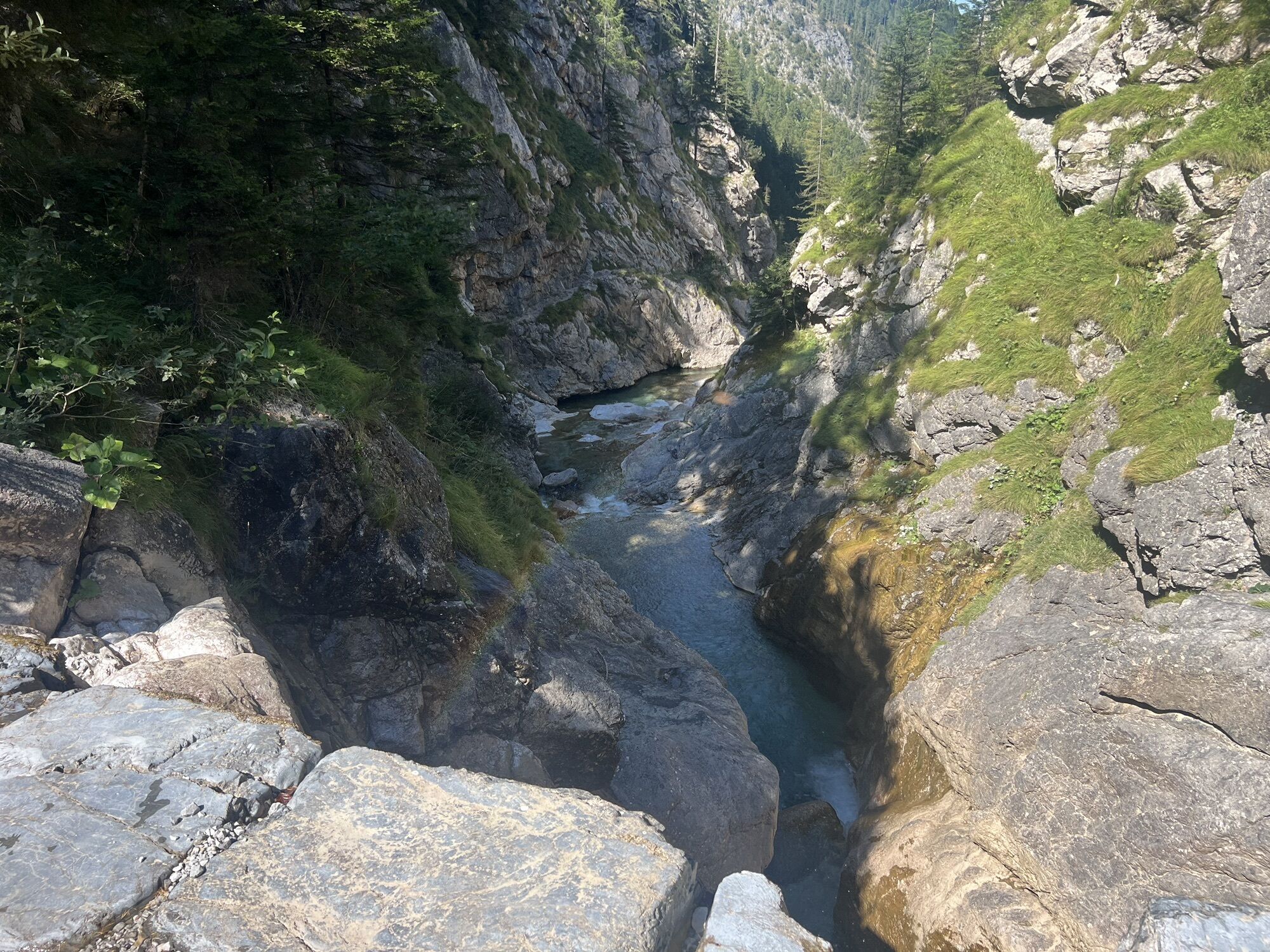
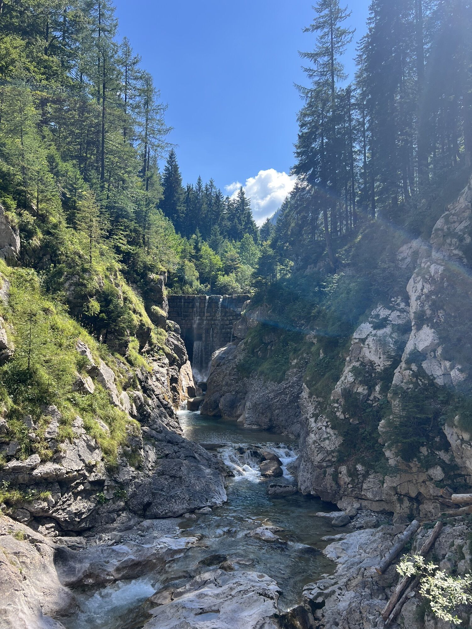
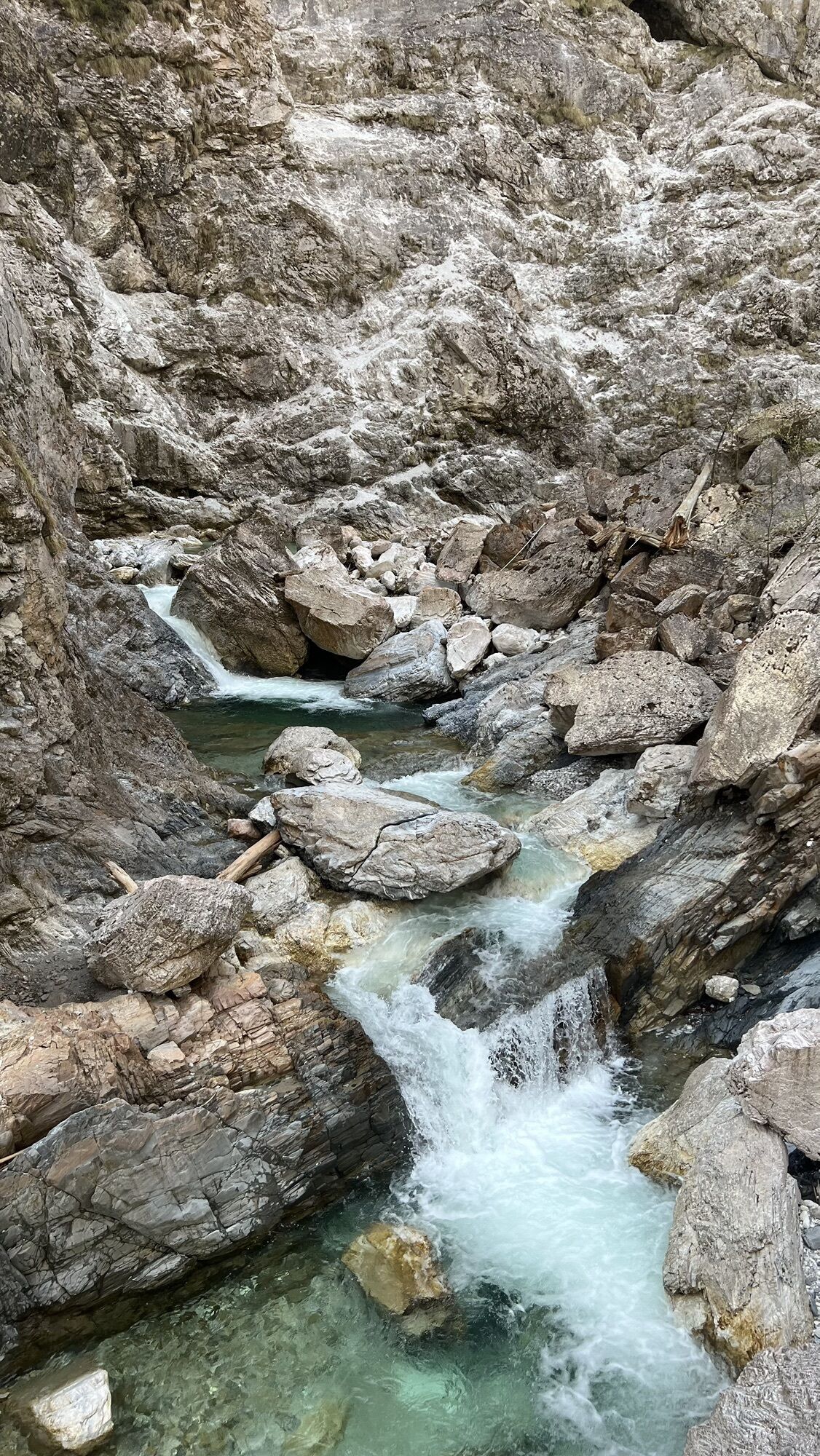
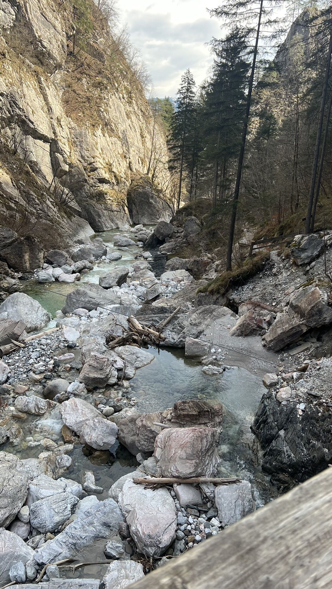
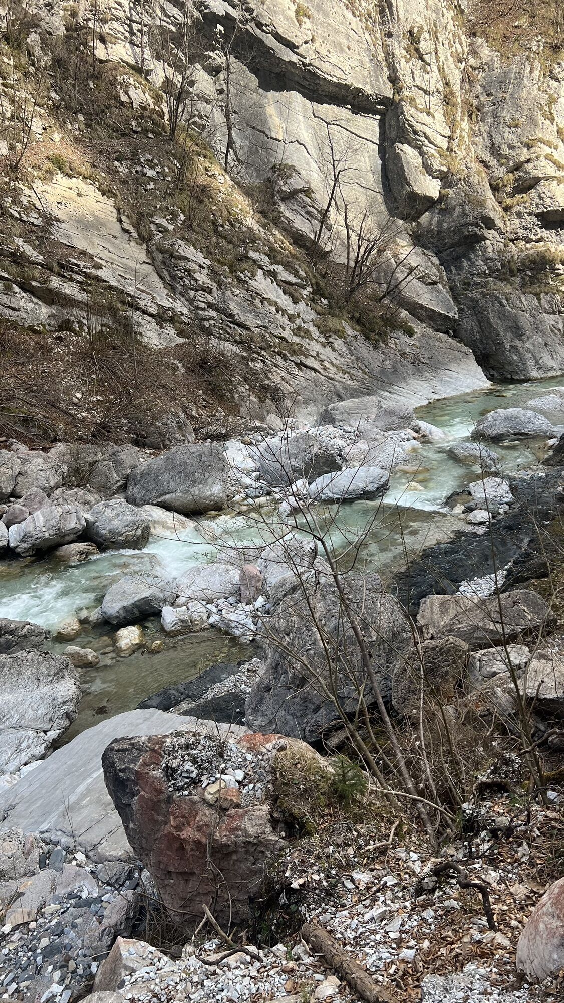
Description 1. From Möderndorf through the 1st and 2nd parts of the gorge to the emergency shelter and back via St. Urban to Möderndorf (approx. 2.5 hours). 2. Through all 4 parts of the gorge to the end (approx. 2.5 hours) a.) From the end of the gorge to Kühweger Alm (approx. 1 hour) and further over Kühweger Thörl to Gartnerkofel (approx. 2.5 hours) or from Kühweger Thörl to Nassfeld (approx. 1 hour) b.) From the end of the gorge via Garnitzenklamm - Garnitzenhöhe - Garnitzenklamm - Watschiger Alm to Nassfeld (approx. 3 - 4 hours) Terrain The natural monument Garnitzenklamm is undoubtedly one of the best-known natural beauties of Carinthia. 2 km south of Hermagor (starting point Eggeralm State Road) the Garnitzenbach has created a 6 km long gorge over the course of history, the lowest section of which has been made accessible for hikers. The gorge is hikeable on alpine trails over gorges, bridges, and past waterfalls in about 2.5 hours to the gorge end. Some parts of the gorge require surefootedness. Infrastructure No information Dining options Klammwirt, inns/restaurants in Möderndorf and Hermagor. Nassfeld: Garnitzen Alm, Watschiger Alm, Alpenhof Plattner, Dorfgasthaus Noldi Stub'n, Ristorante da Livio, Al gallo Forcello Points of interest Nassfeld: Ice Age flower: Blue Wulfenia - blooming period from mid-June to the end of July. NTC - rock labyrinth / flying fox mile - Tressdorfer Alm, "AquaTrail BergWasser" mountain water, Gartnerkofel chairlift, Millennium Express (Tröpolach to Nassfeld), summer toboggan run Pendolino, Lift & Bike Giro, Tressdorfer Alm cheese dairy. Waterfalls, bridges, gorges. Further information
Starting point: Eggeralm State Road End point: End of the gorge Length: 6 Total walking time: 4-5 Trail number: 409 or 410 Difficulty level: mediumTak
Everyone should pack their backpack individually - however, essential are good hiking or mountain boots, rain protection, snacks, drinks, headwear, sunscreen, warm jacket, possibly change of clothes, hiking stick, first aid kit!
Drive by car through Hermagor and turn off at the town's end towards Möderndorf, Egger Alm. Here you drive along the state road for about 2.5 km.
By public bus service in the months of July and August.
Parking - in front of the Garnitzenklamm or Klammwirt
www.nassfeld.at

 Uzyskaj wgląd Zawsze na żywo z ponad 9 500 kamer internetowych. bergfex Jako użytkownik Pro, możesz teraz zobaczyć odpowiednie kamery internetowe dla wielu wycieczek w aplikacji wycieczki od. Pozwala to na bezpośredni podgląd aktualnych warunków.
 Popularne wycieczki w okolicy
- 5,0
W10 - Large lake round - Weissensee
ciężkiMountainbike 31,5 km - 4,8
RW_N9 Weißenbachklamm
średniWędrówka 7,49 km - 4,8
Tarvisio - Venzone (C101)
średniKolarstwo długodystansowe 64,7 km - 4,9
Weissensee Ost- nach Westufer
światłoWędrówka 10,2 km - 4,7
W5 - Naggler Alm Round Weissensee
średniMountainbike 15,8 km - 5,0
Bodenalm - Ostufer - mit dem Schiff zurück
Mountainbike 19,1 km - 4,4
WY_W2 hike to the Alm behind the Brunn
średniWędrówka zimą 3,04 km - 4,6
Bergstation Weißensee bis Golz
średniWędrówka 14,8 km - 4,9
Weißenbachklamm
ciężkiWędrówka 5,80 km - 4,2
Slow Trail Pressegger See RW_N16
światłoWędrówka 5,78 km
Wędrówki i tropienie


Nie przegap ofert i inspiracji na następne wakacje
Twój adres e-mail została dodana do listy mailingowej.





