







Zollnersee hut - Waidegger Alm RW_N48
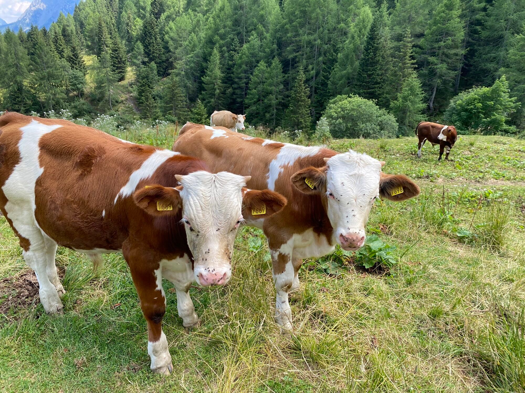
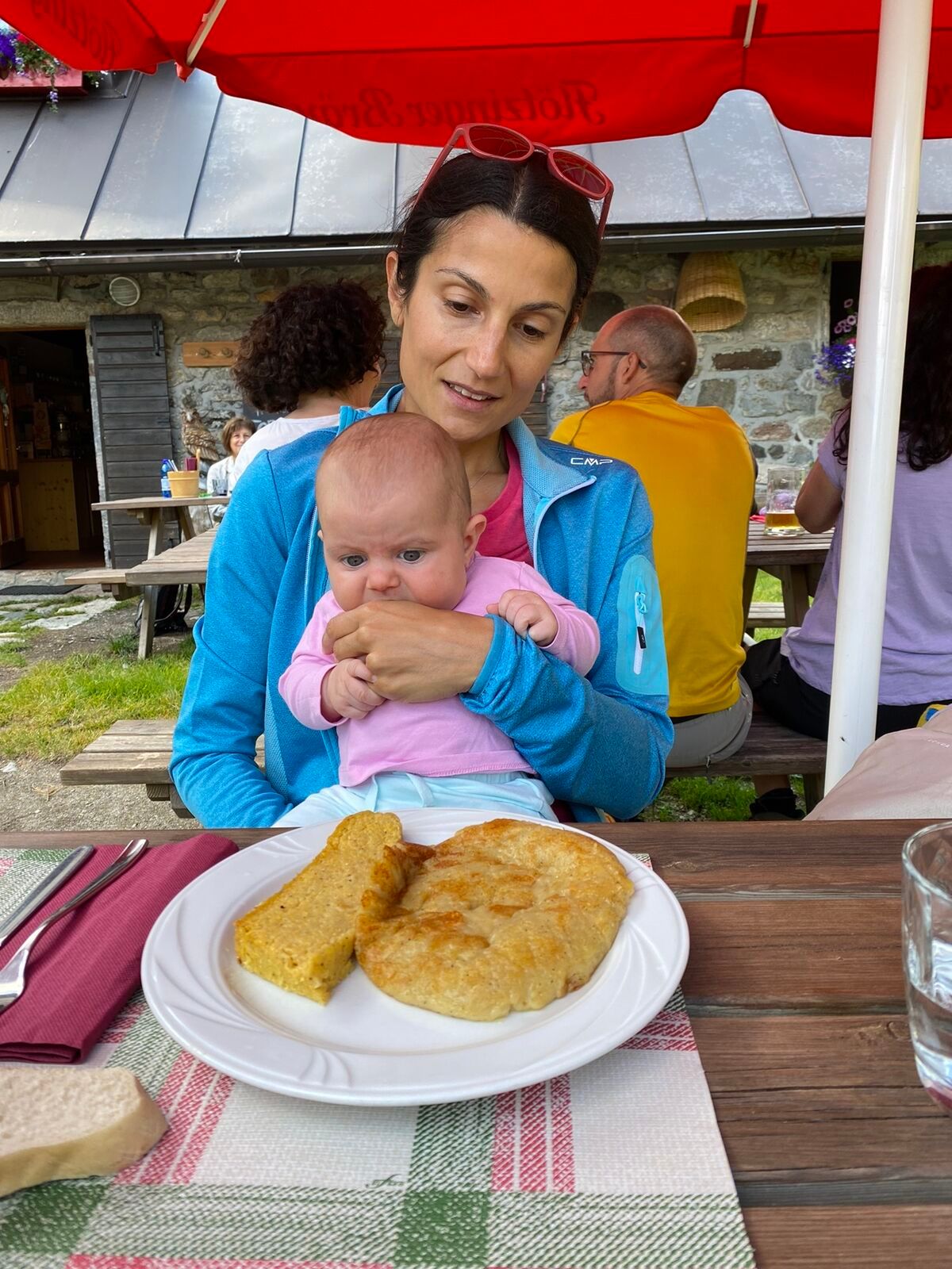
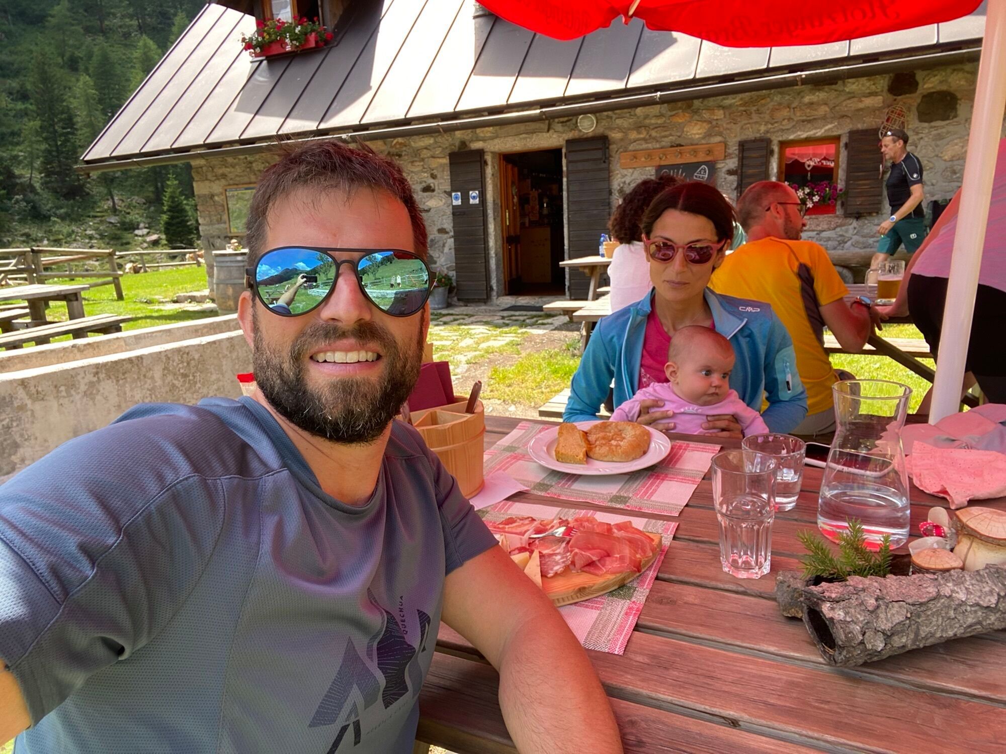
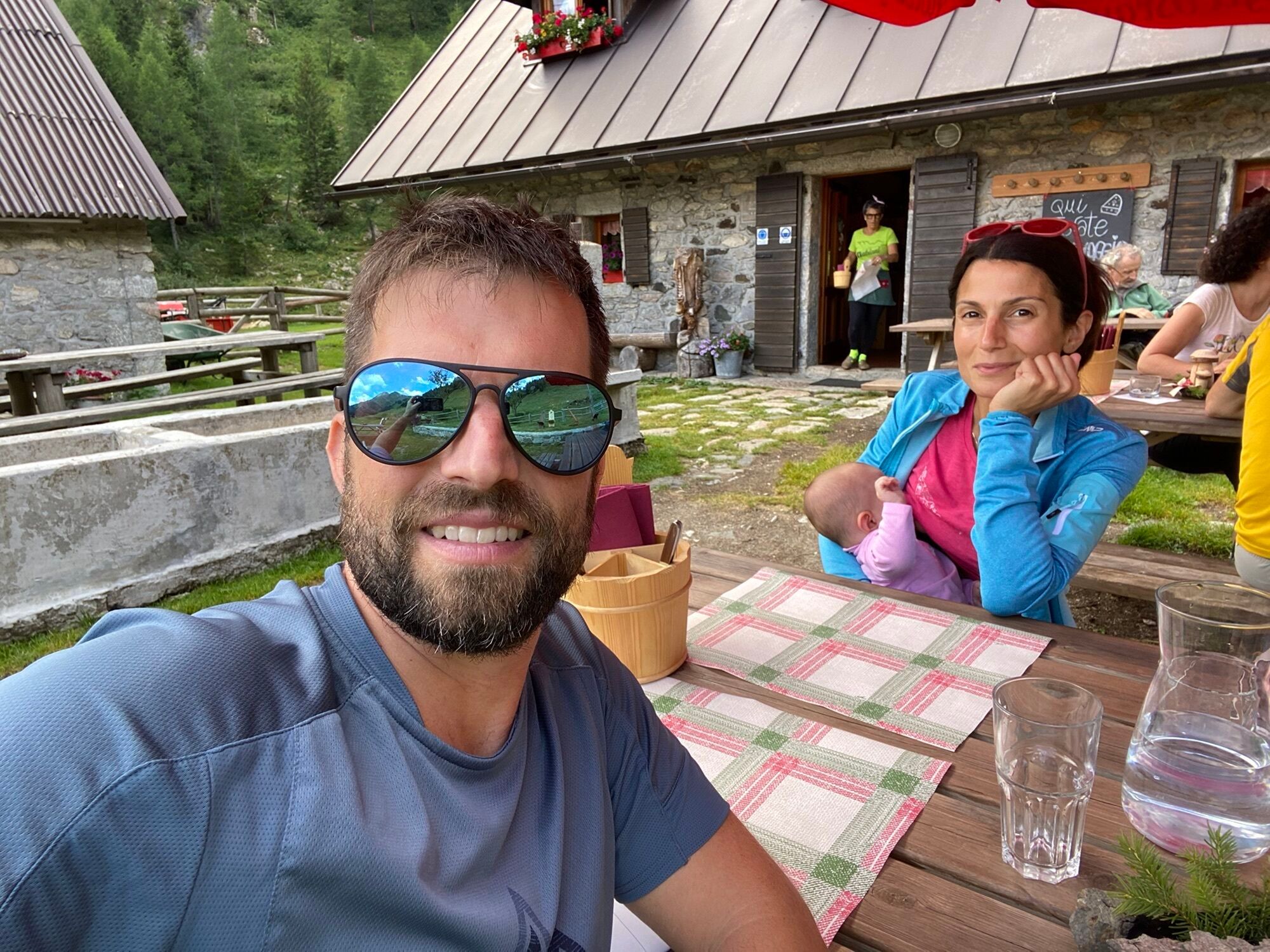
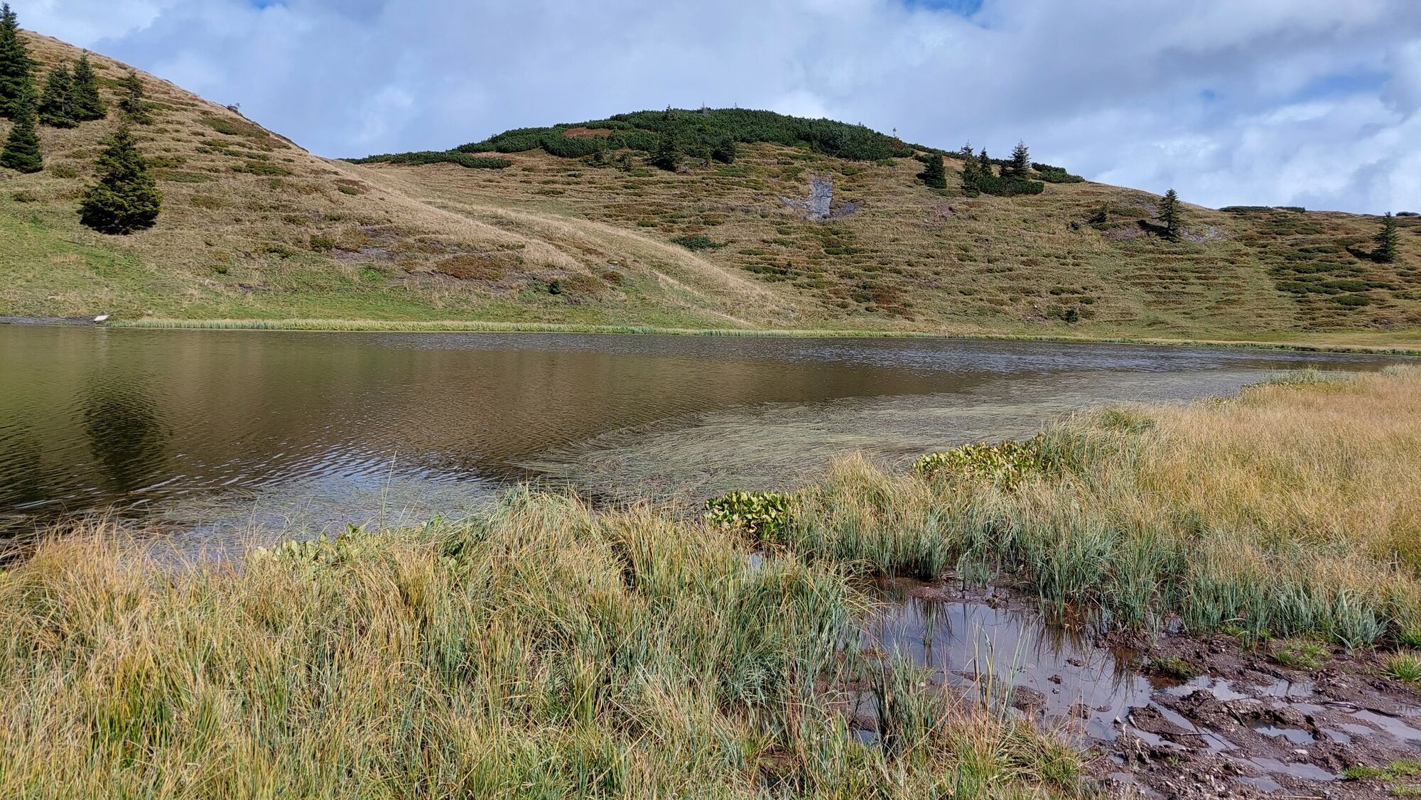
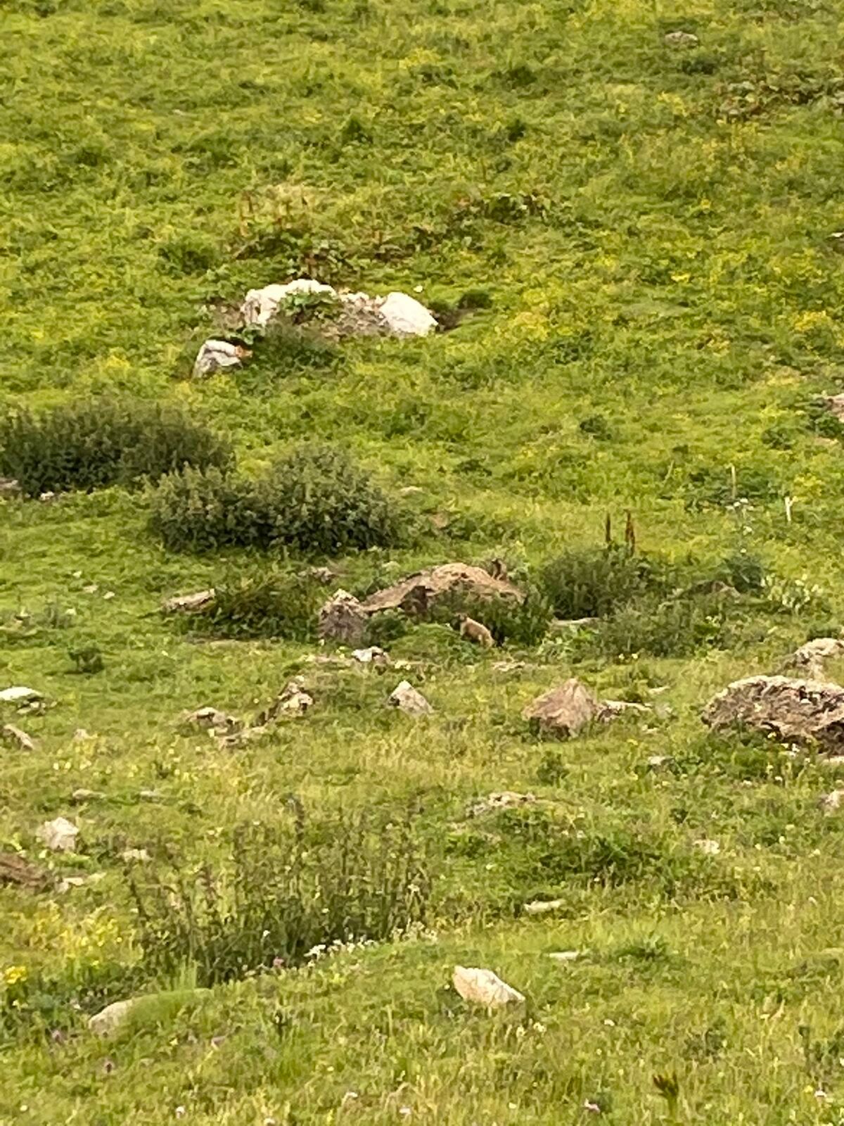
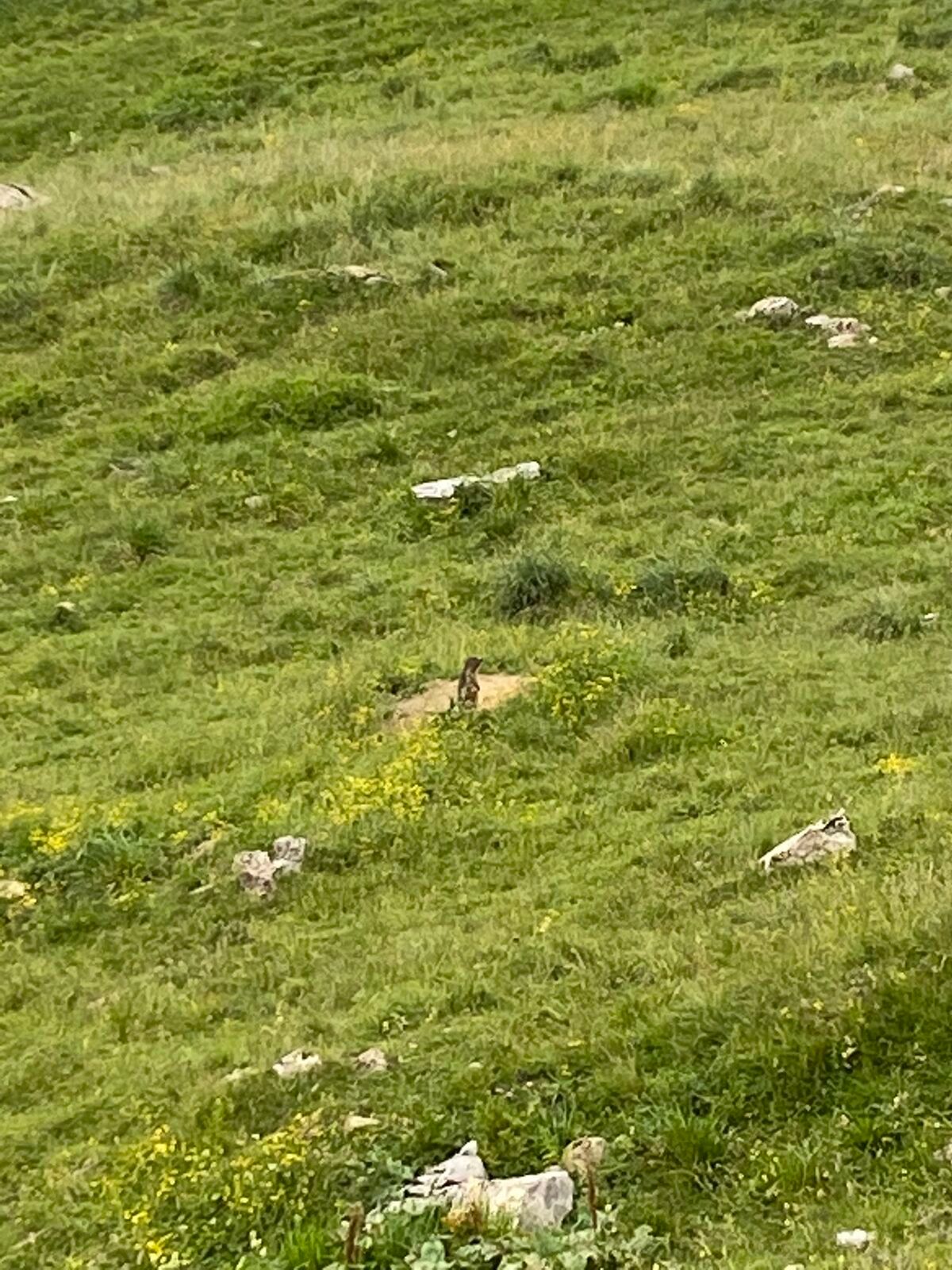
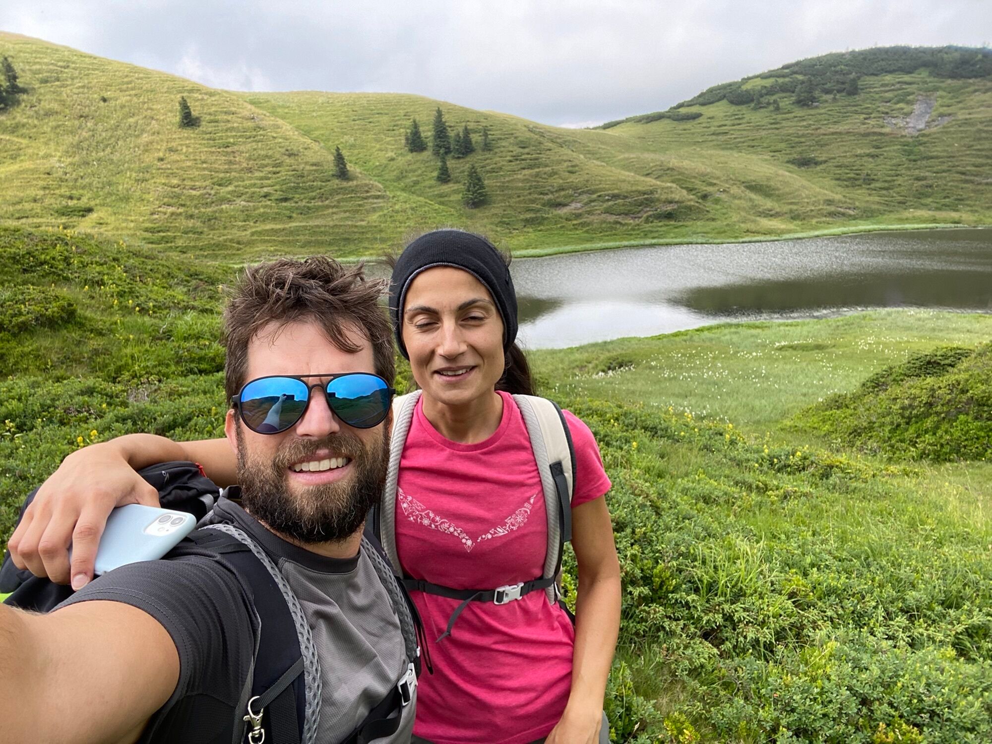
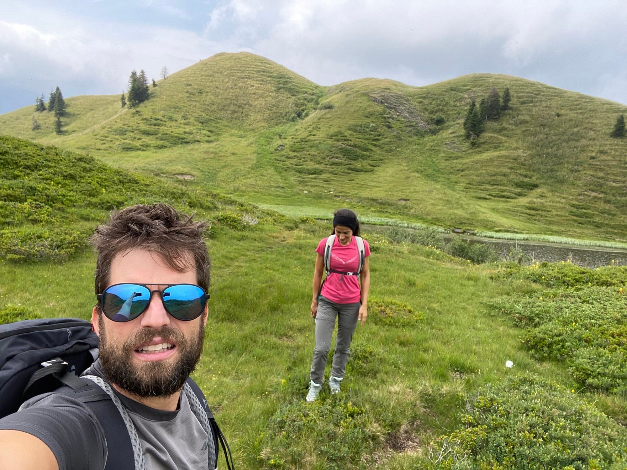
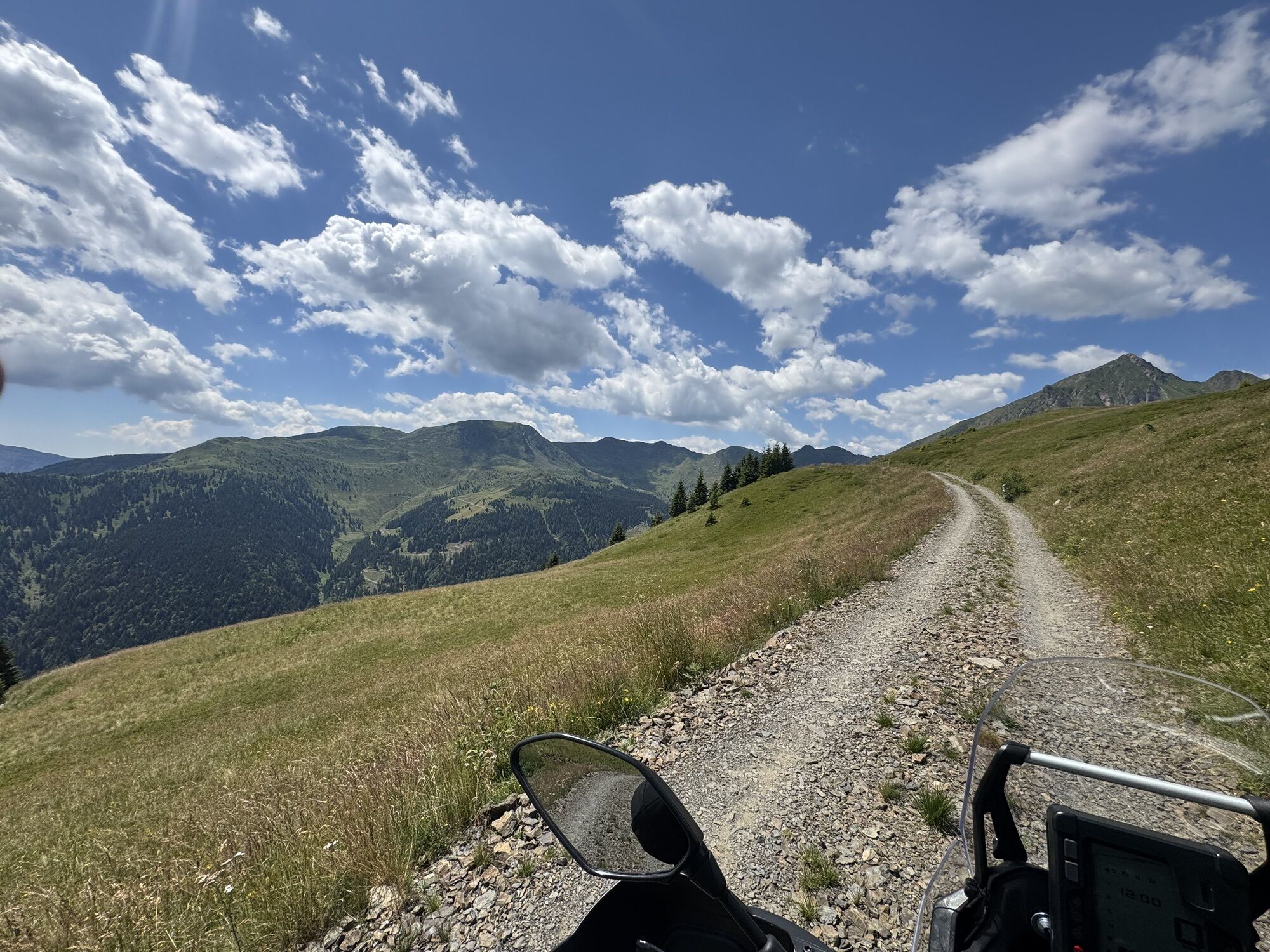
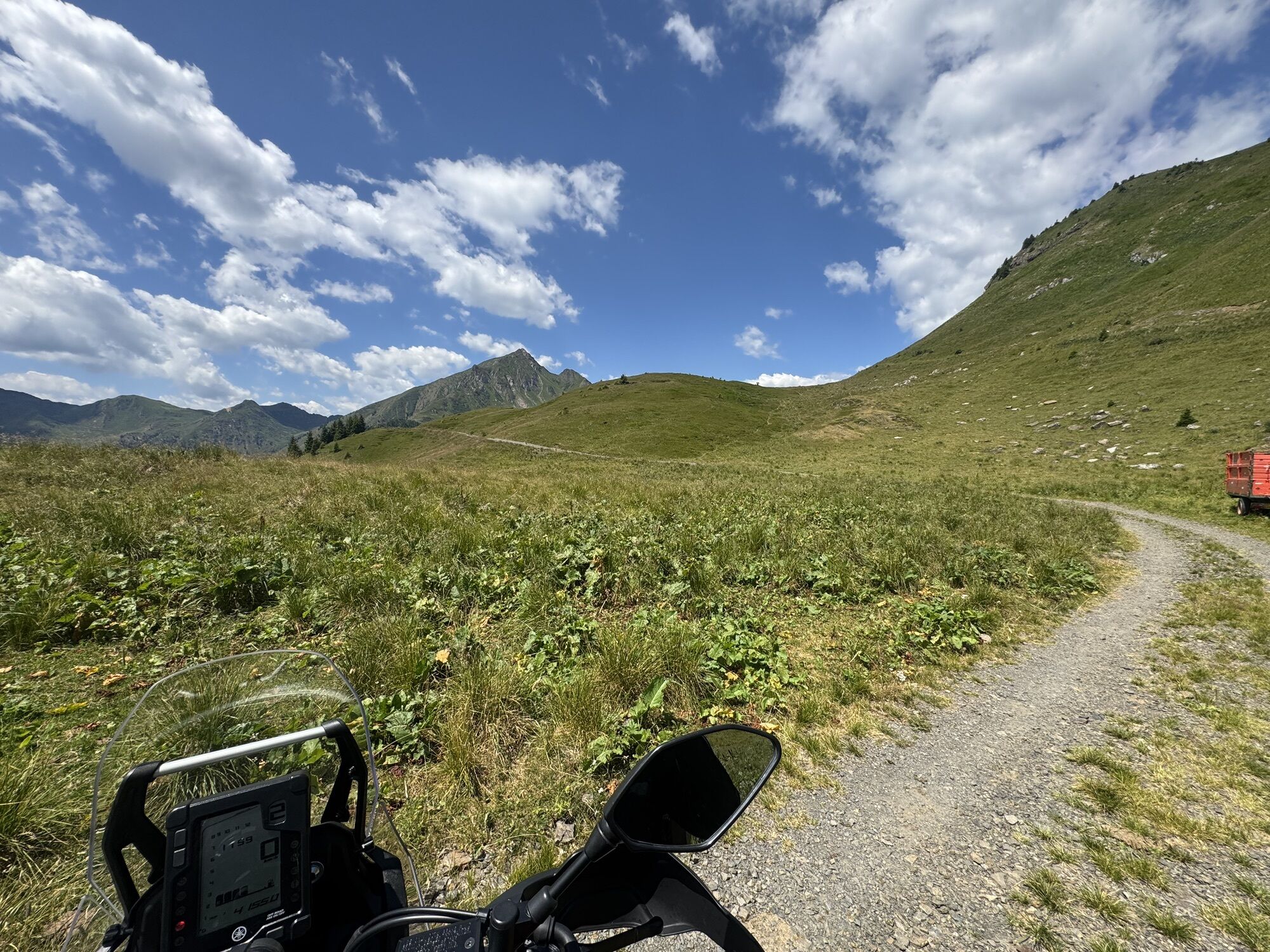
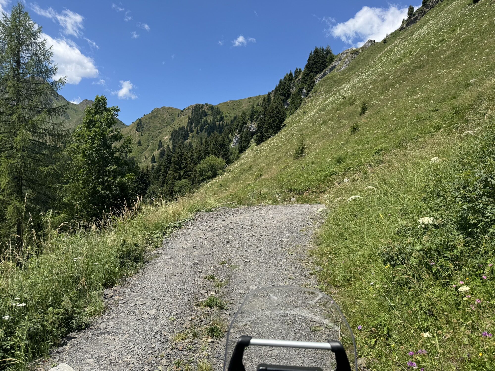
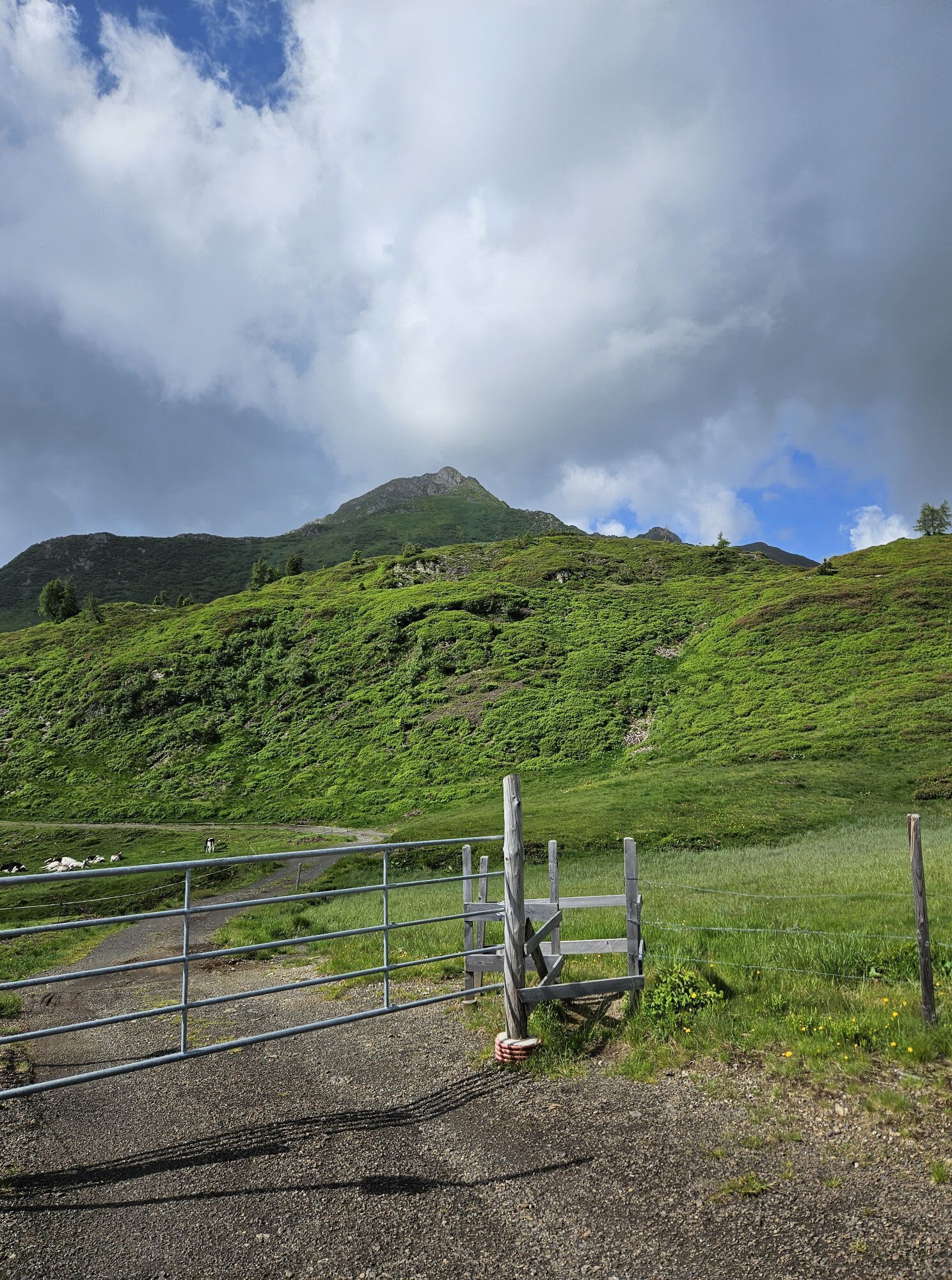
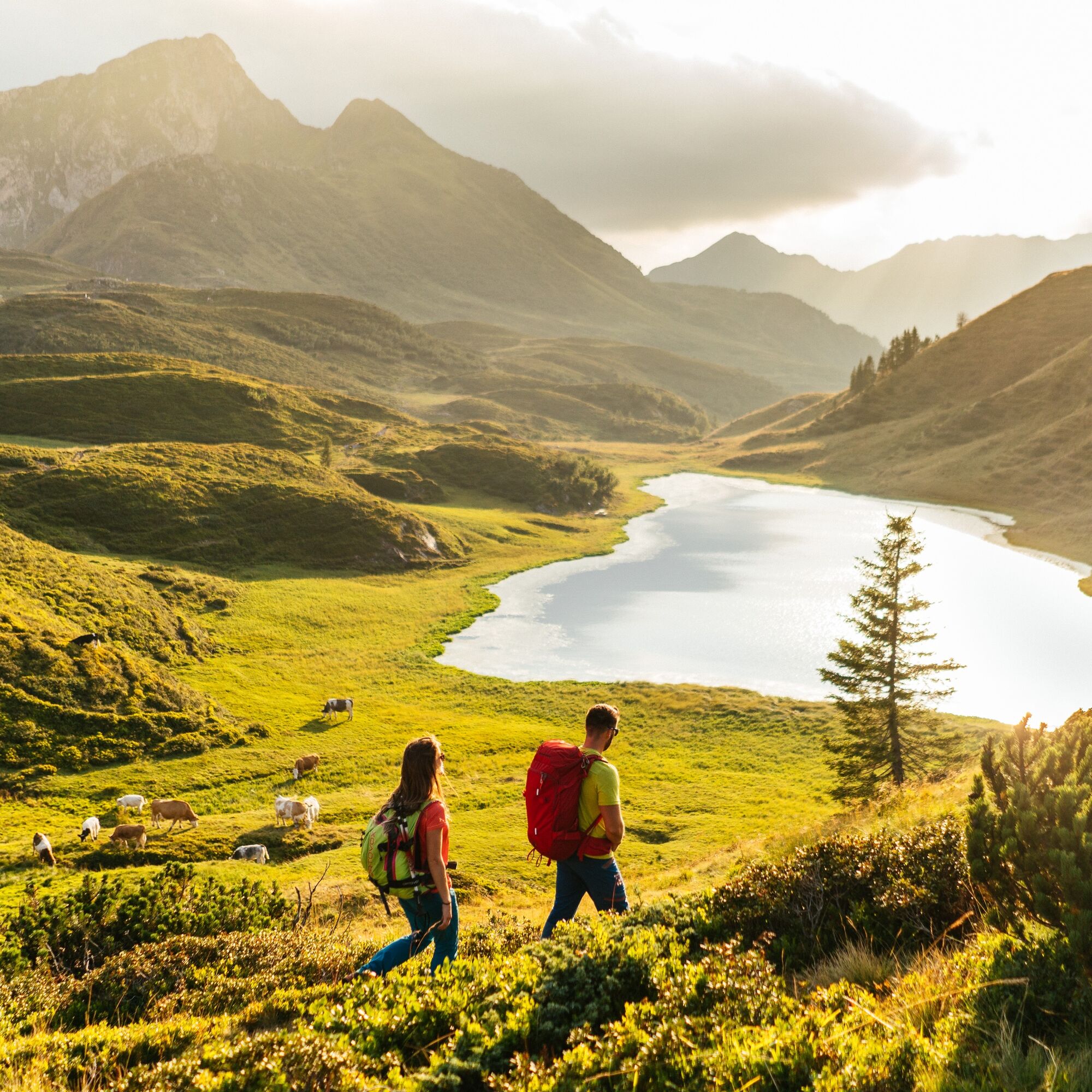
It is a long circular hike – but the opposite of boring; with two cheese alps, a Friulian alp, and two mountain huts along the way, it runs through an extensive karst alpine landscape decorated with cheeky...
Highlights
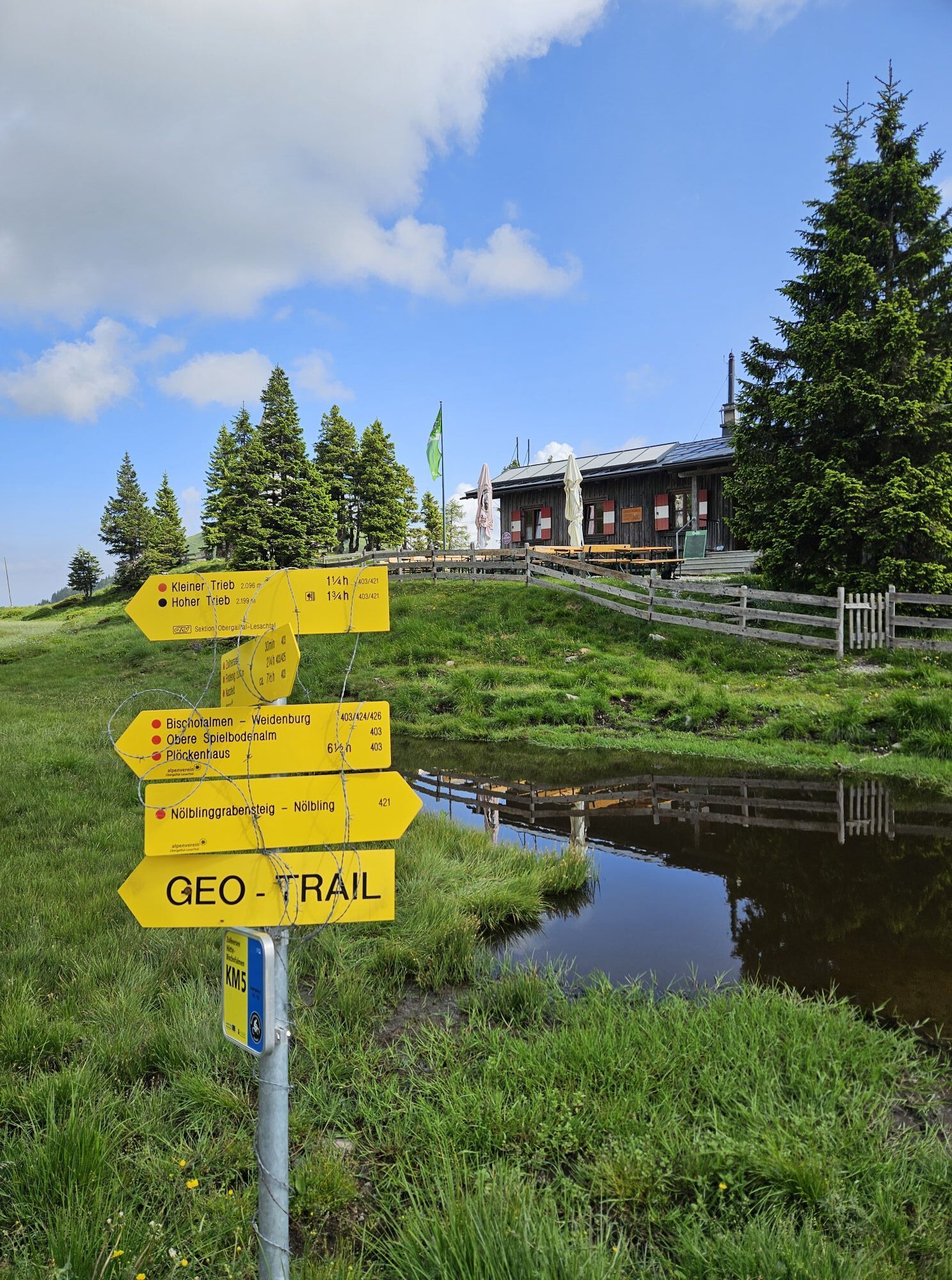
Waidegger Alm Cheese alp: Achornacher Alm located in a dreamlike spot above the Gail valley Malga Lodin Alta situated on the Italian side of the Carnic Alps Zollnersee hut – an idyllic mountain hut as the starting point for this hike Zollnersee – one of the most beautiful mountain lakes far and wide (25 min from Zollnersee hut) Rifugio P. Fabiani – a small rustic Italian mountain hut below the High Triebs

Now on the Italian side along hiking path no. 454 ("Sentiero dei Silenzi") descend 250 vertical meters to Rifugio P. Fabiani (1,539 m). This small managed hut is nestled in a cirque below the mighty peak of the High Trieb and pampers you with genuine Italian hospitality and is definitely worth a stop.
After the refreshment, follow trail no. 448 eastwards, keep left at a fork, cross a small valley, and soon reach an alm road. Follow it uphill (trail no. 448) to Malga Lodin Alta, the first of the three cheese alps on your constellation hike. Here you can try the home-produced products and try to find out whether cheese in the Friulian part of the Carnic Alps tastes different than in the Carinthian part. One thing is certain: love (not the devil) is in the details! Or is it just the Italian flair that makes the difference?
At the alp, choose the hiking path uphill on the left and immediately branch off to the left path (no. 457, "Sent. d. Farinarie"). It takes you below Findenigkofel up to Passo di Lodinut (1,817 m). On the Austrian side, descend a few meters until you reach the "Carnic High Trail" (no. 403). Follow it right (east) and hike for quite a while in wonderful scenery along the north side of the elongated Findenigkofel, ignore a right branching path to the nearby Lodintörl, and reach another junction. Now you have reached the easternmost point of your constellation hike: leave the Carnic High Trail no. 403 and turn left (north) onto path no. 420. A few minutes later, reach an alm road, follow it left (no. 420) to Waidegger Alm (1,746 m). Waidegger Alm is also a cheese alp where you can sample self-produced products. That means you can actually try to find an answer to the questions posed earlier at Malga Lodin Alta.
From Waidegger Alm, follow the alm road descending east until you reach the last cheese alp on this constellation hike – the Achornacher Alm at 1,532 m. Now you have the unique opportunity to test for the third time in one day how big the differences really are between the individual alpine dairies in the region: is it the little secrets the cheesemaker would never reveal? Or is it the soil that lets different herbs grow that then reach the milk via "detours"?
From Achornacher Alm, follow the service road a few meters north and immediately turn left onto a hiking path, ascending in a large left loop past the Ochsenalm up to a junction just east of Zollnersee. Here you meet the Carnic High Trail no. 403 again and follow it right (west) along the southern shore of the beautiful Zollnersee to the Zollnersee hut (ÖAV).
At the Zollnersee hut, you can end this wonderful hiking day and refresh yourself once more or even stay overnight before you walk the last 300 m back to the parking lot and thus to your destination on the route familiar from the morning.
Tak
Here you can find a detailed equipment list for your trail trip.
Care for nature – landowners – your health.... and safety in the mountains have the highest priority during your tour and related tour planning!
Therefore, inform yourself before every hike about the behavioral rules - Safety in the Mountains - as well as the current weather situation.
Waste disposal:
Waste is not always avoidable - but it has no place in nature and must be properly disposed of (preferably in the valley or at home).
Emergency numbers:
European emergency number: 112 (accessible in every available network)
Austrian alpine emergency number: 140
You drive via the Gailtalstraße B111 (coming from Hermagor or Kötschach-Mauthen) to Dellach. In the town center, coming from Hermagor just behind a bridge over a small stream, turn south towards Weidenburg. You cross the Gail and follow the Würmlacher Landesstraße to the right until just before Weidenburg. Here turn left and follow the Almstraße past the farm "Gratzhof" in many switchbacks up to the parking lot just before the Zollnersee hut.
Public transport:
The most sustainable way to get there is theoretically by train to Oberdrauburg (coming from Lienz or Villach) or to Hermagor (coming from Villach).
From Oberdrauburg or Hermagor, you can then reach the town of Kötschach-Mauthen by bus. From Kötschach, an alpine taxi (registration required) will take you to the starting point at the Zollnersee hut (for overnight stays - registration the day before is required).
Details at - Mobility information Nassfeld and Route planner Kärntner Linien
The Zollnersee hut is only publicly accessible with a combination of train, bus, and alpine taxi:
From Villach main station with the S4 to Hermagor (hourly). From there by bus 5058 to Kötschach (hourly). From Kötschach, an alpine taxi will take you to the starting point at the Zollnersee hut (For overnight stays - registration required the day before!).
Free parking is available about 300 m before the Zollnersee hut.
Cheese alp: Achornacher Alm
Location: Protected location in a basin at the foot of Findenigkofel, away from busy hiking trails
Noteworthy: Achornacher Alm is a mecca for cheese lovers, and the cheese from this alp has repeatedly made it to the winners' podium at mountain cheese competitions. Besides Gail Valley alpine cheese, a special soft cheese and the "Almschotten" – a quark-like crumbly cheese made from buttermilk without pressing – are produced here.Other dining opportunities
Zollnersee hut
Location: Near the start and end point of the constellation hike on an idyllic and extensive high plateau. Idyllic – the Zollnersee. What awaits you: Rustic hut atmosphere with wonderful views and accommodation options. More information: https://www.nassfeld.at/de/Service/Nassfeld-A-Z/Zollnersee-Huette_az_30359Rifugio P. Fabiani
Location: In a lovely valley basin below the mighty High Triebs deep in the heart of the Carnic Alps What awaits you: The charm of a small Italian mountain hut with Friulian alpine specialties More information: https://www.escursionismo.it/rifugi-bivacchi/pecol-di-chiaula-alta--(ex-fabiani)-15577Malga Lodin Alta
Location: Just before the halfway point of the constellation hike on the Friulian side on the southern slope of Findenigkofel What awaits you: Typical Friulian alp offering much authenticity away from the big bustle More information: http://www.malghefvg.it/de/malghe/almen-im-val-chiarso/lodin-altaAre you looking for more hiking tips in the region as well as a state-certified guide for a guided mountain hike?
You will find this and many other infos at - Hiking tips and provider information
On these day hikes, you can dive deep into the history, nature, and culture of the explored landscape.
Uzyskaj wgląd
Zawsze na żywo z ponad 9 500 kamer internetowych. bergfex Jako użytkownik Pro, możesz teraz zobaczyć odpowiednie kamery internetowe dla wielu wycieczek w aplikacji wycieczki od. Pozwala to na bezpośredni podgląd aktualnych warunków.

Popularne wycieczki w okolicy
-
4,3
Malurch Nassfeld
średniWędrówka 9,60 km -
4,6
ST_N7 Gartnerkofel (2,195 m)
Wycieczka narciarska 3,94 km -
3,7
Cellon-Stollen und Senza Confini auf den Cellon und Steinberger Weg zum Abstieg
średniVia ferrata 7,09 km -
3,7
Hermagor: Gartnerkofel
Wędrówka 7,70 km -
5,0
Plöckenhaus - Polinik - Plöckenhaus
ciężkiWędrówka 10,9 km -
3,6
RW_N61 Kleiner Pal (1,867 m)
ciężkiWędrówka 6,52 km -
4,6
KL_N5 Crete Rosse
średniVia ferrata 6,96 km -
4,7
ST_N9 Madritschen (1,918 m)
Wycieczka narciarska 2,71 km -
5,0
Möselalm - Weißbriach/Gitschtal
światłoWędrówka 5,12 km -
5,0
Nassfeld - Winklalm - Madritschen - Nassfeld
światłoWędrówka 7,29 km
Wędrówki i tropienie


Nie przegap ofert i inspiracji na następne wakacje
Twój adres e-mail została dodana do listy mailingowej.





