







RW_N22 Garnitzen Gorge Geotrail
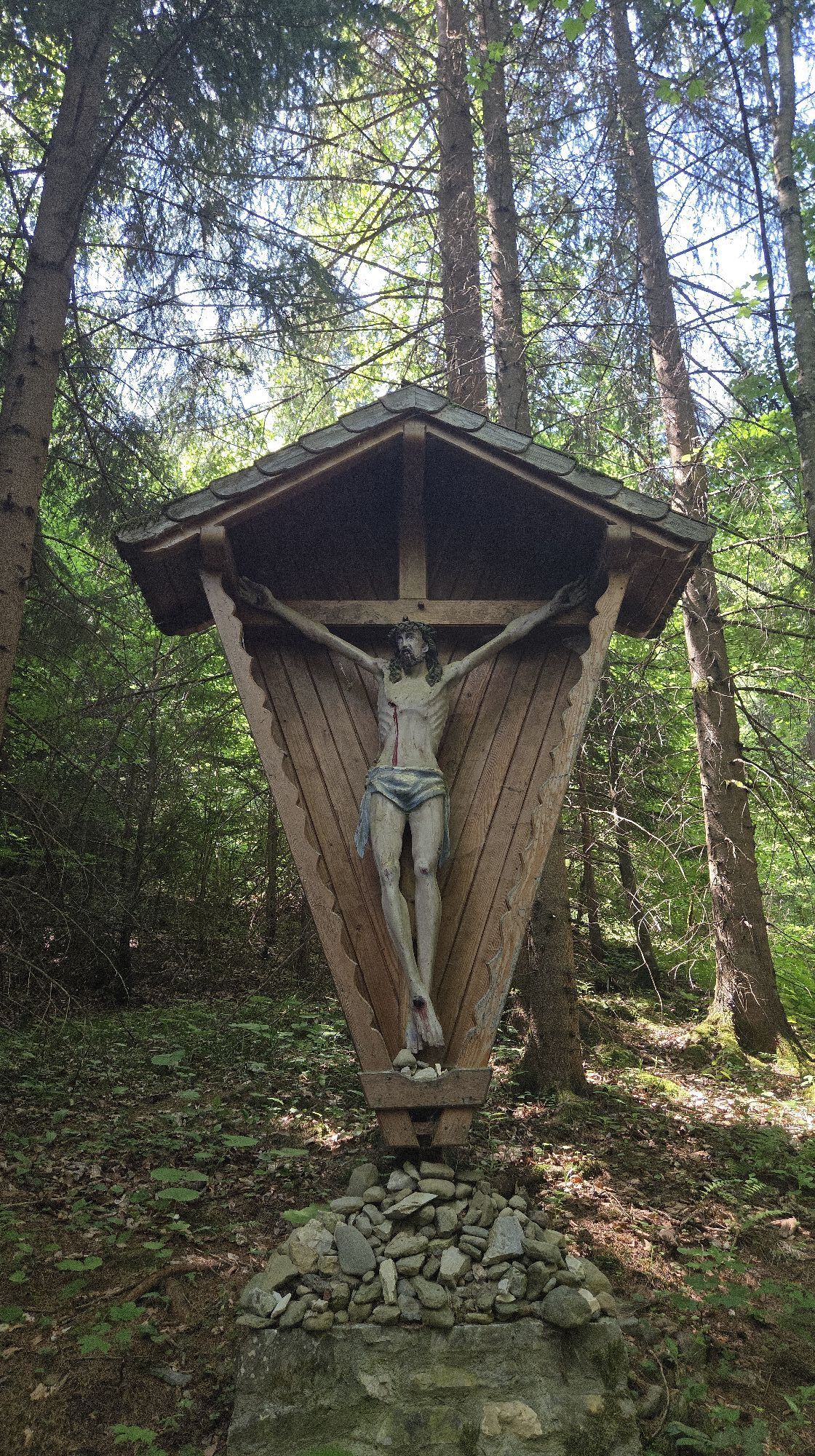
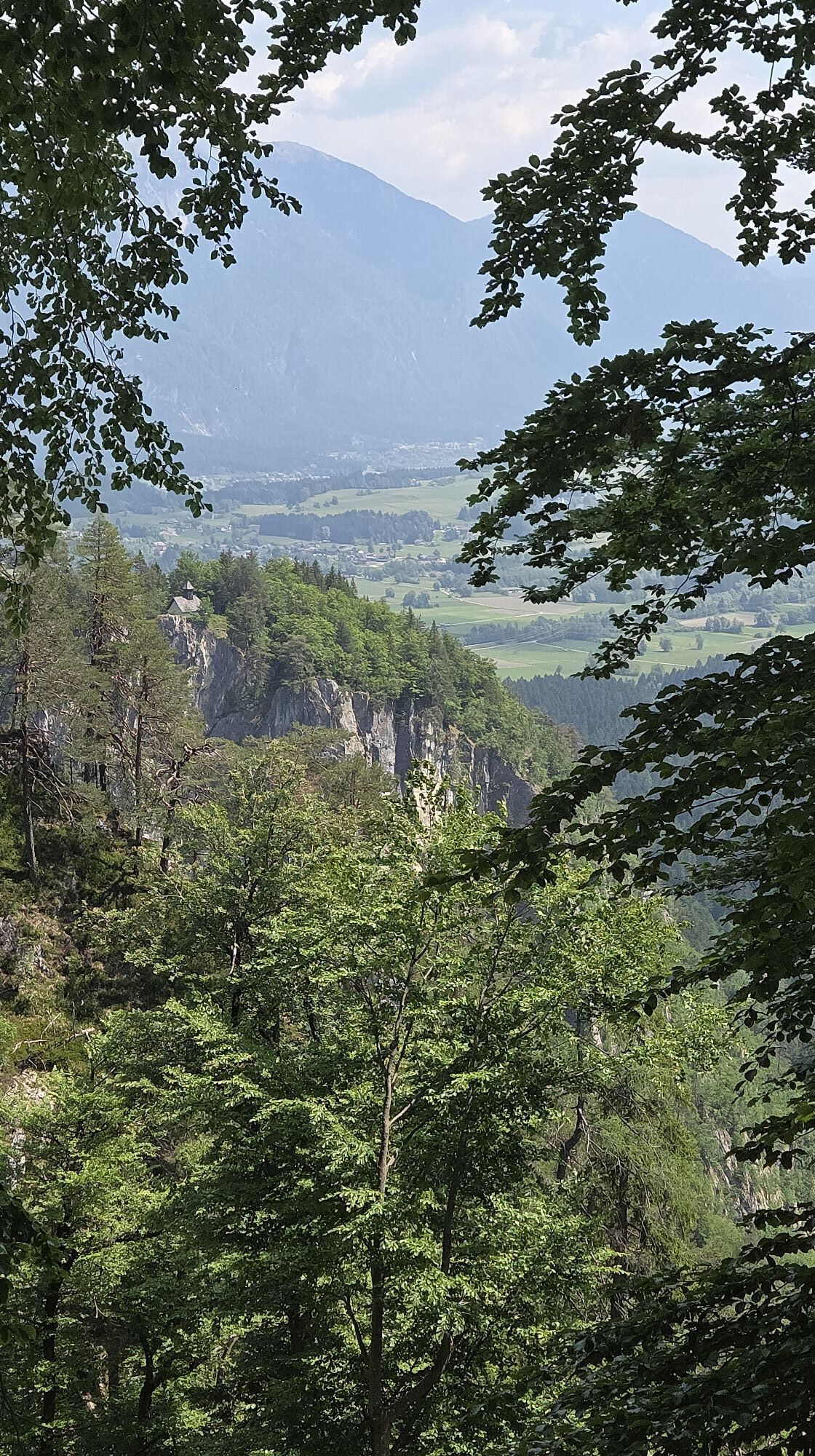
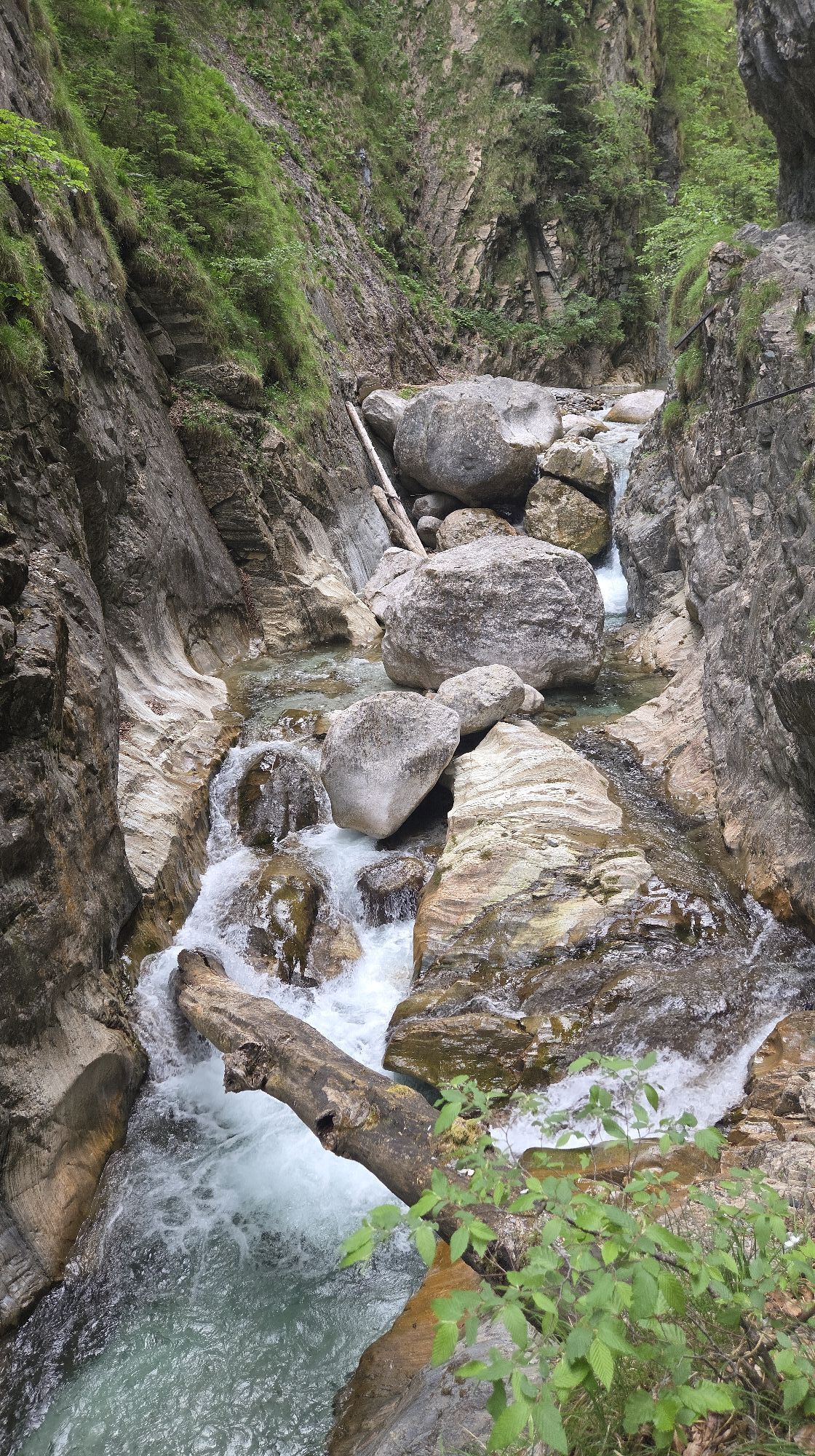
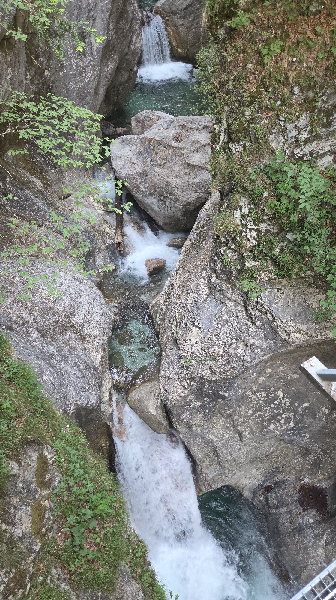
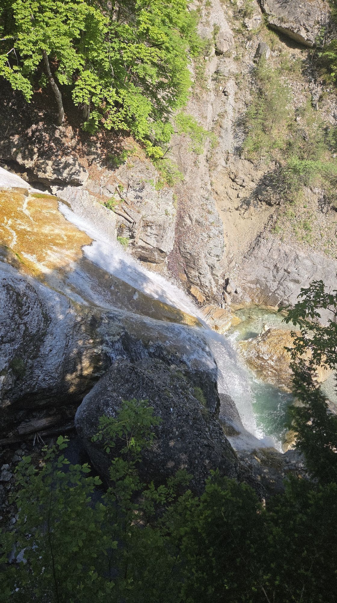
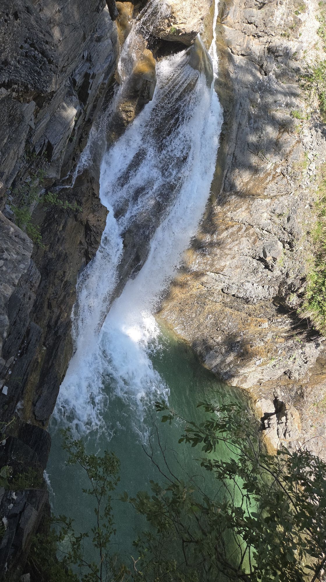
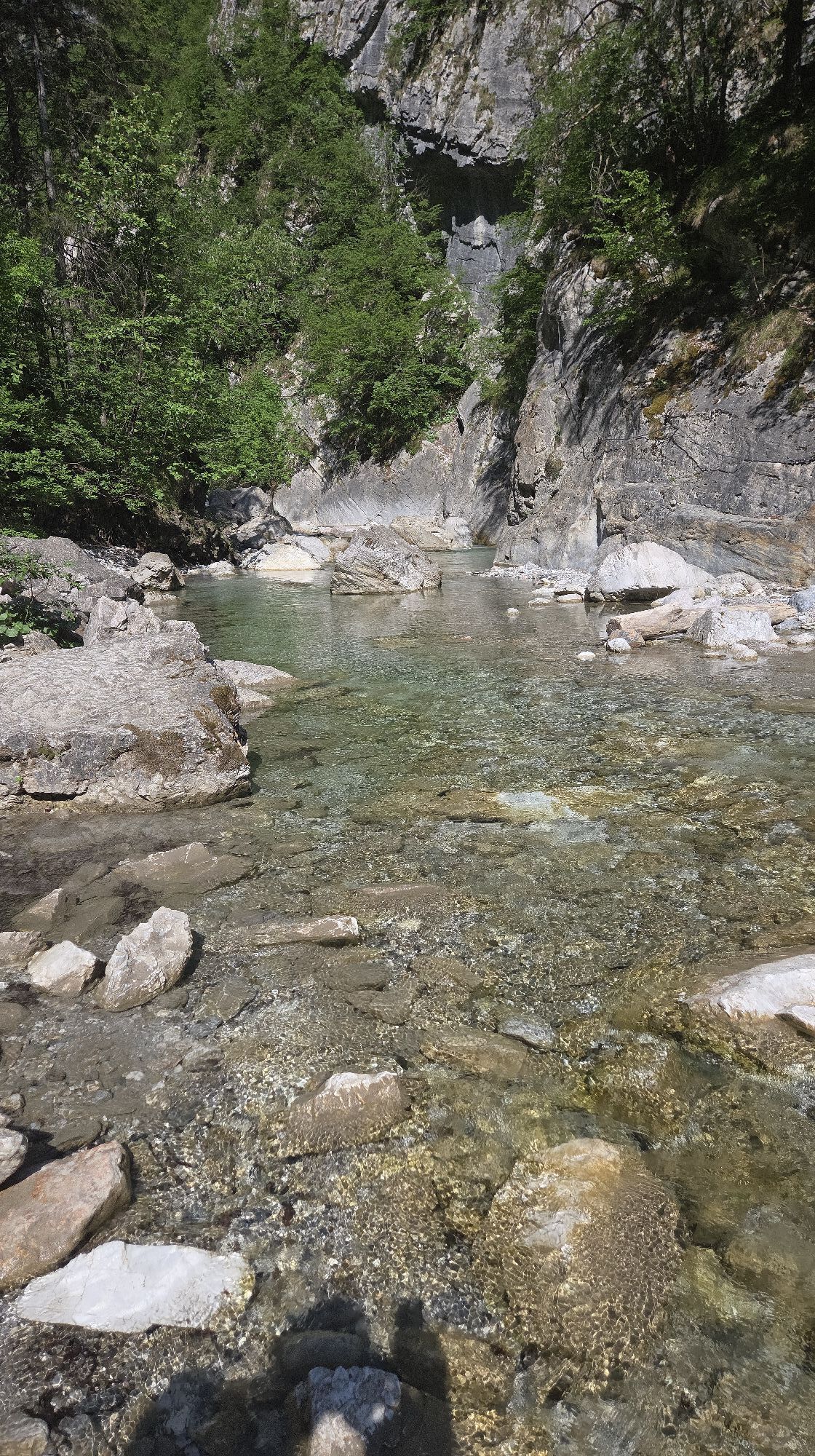
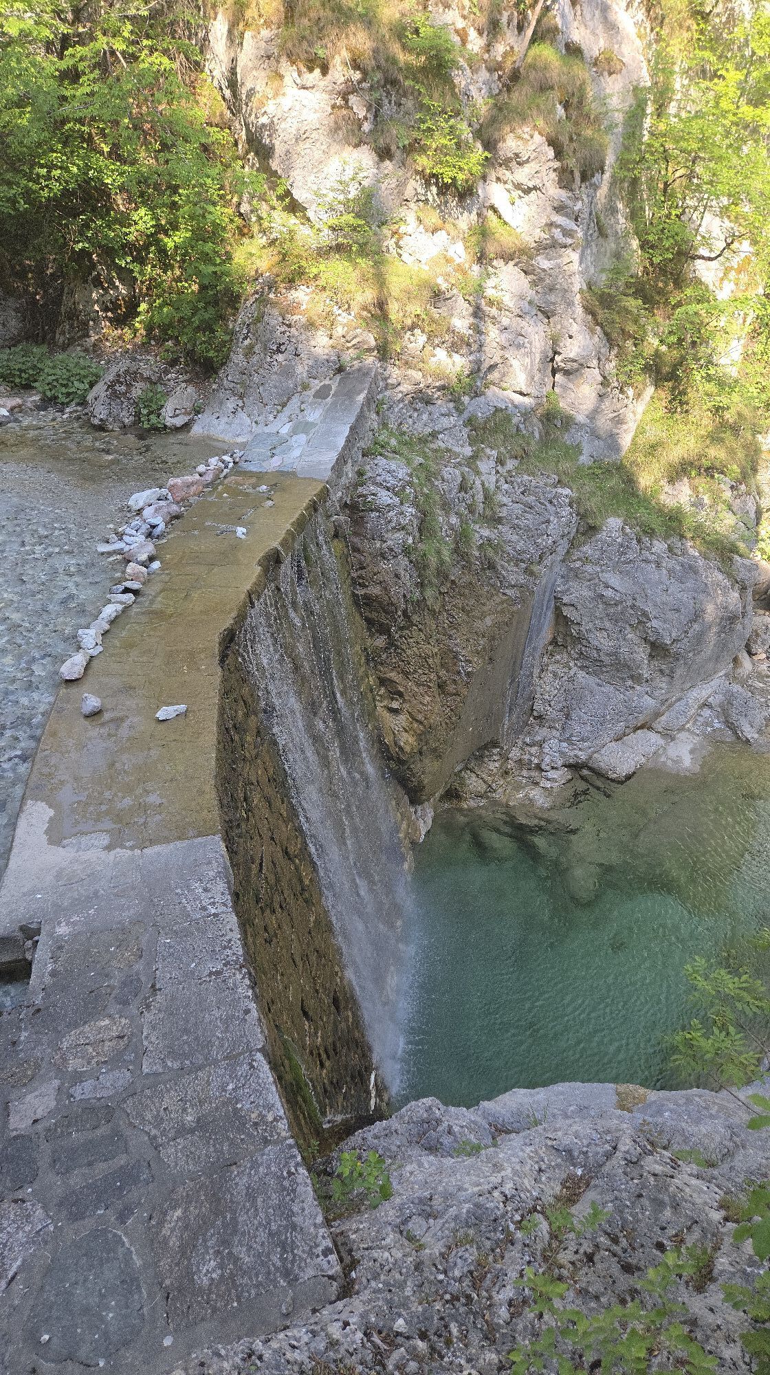
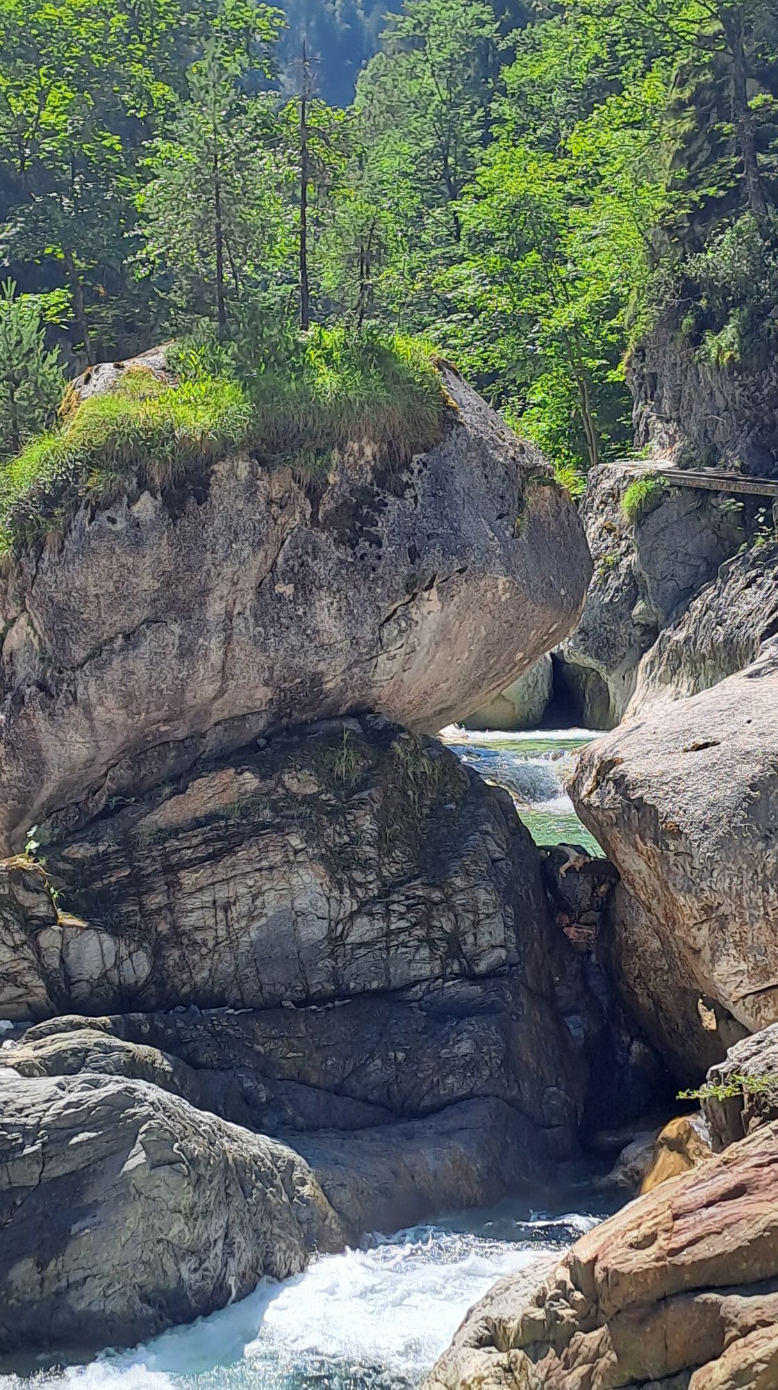
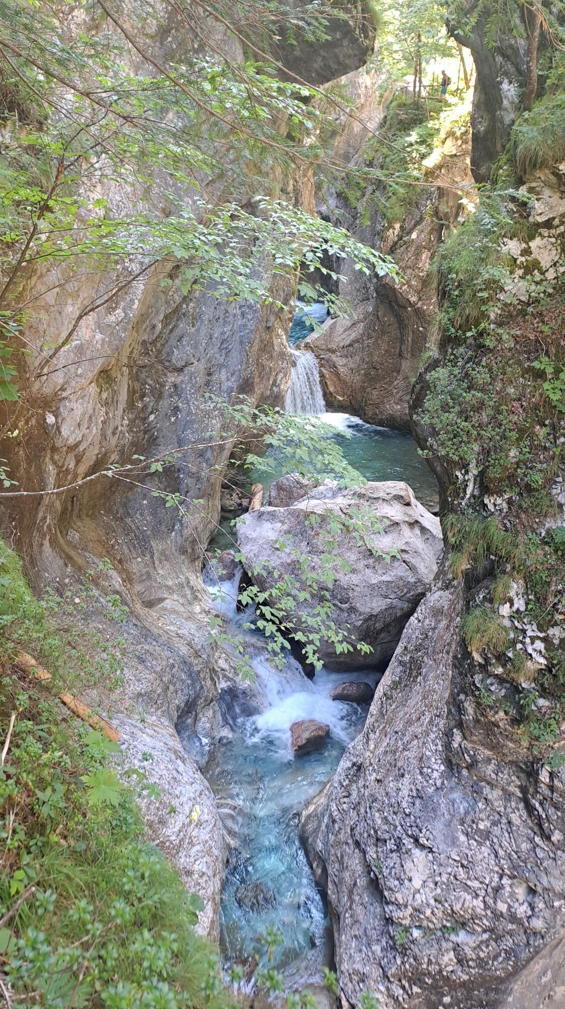
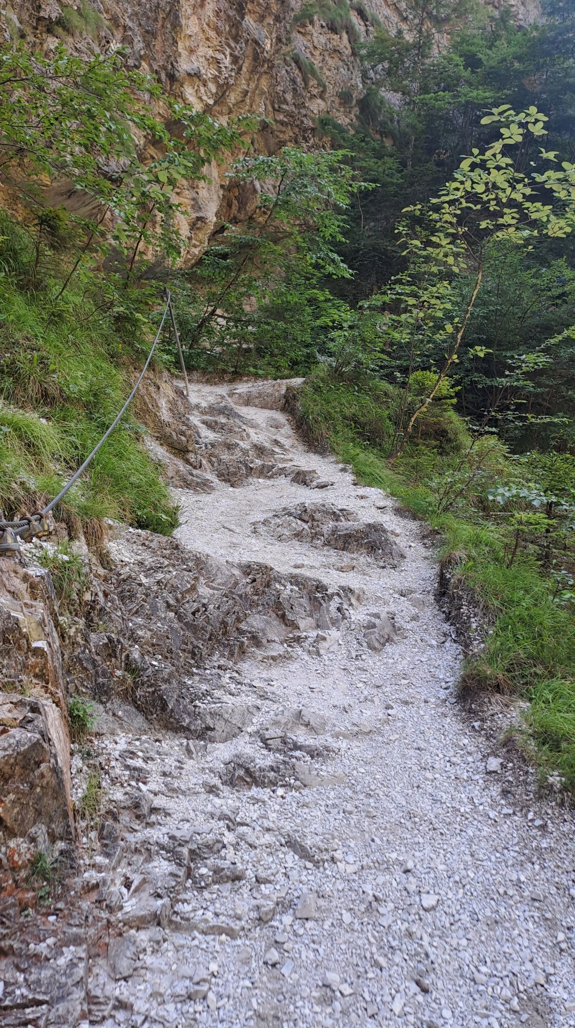
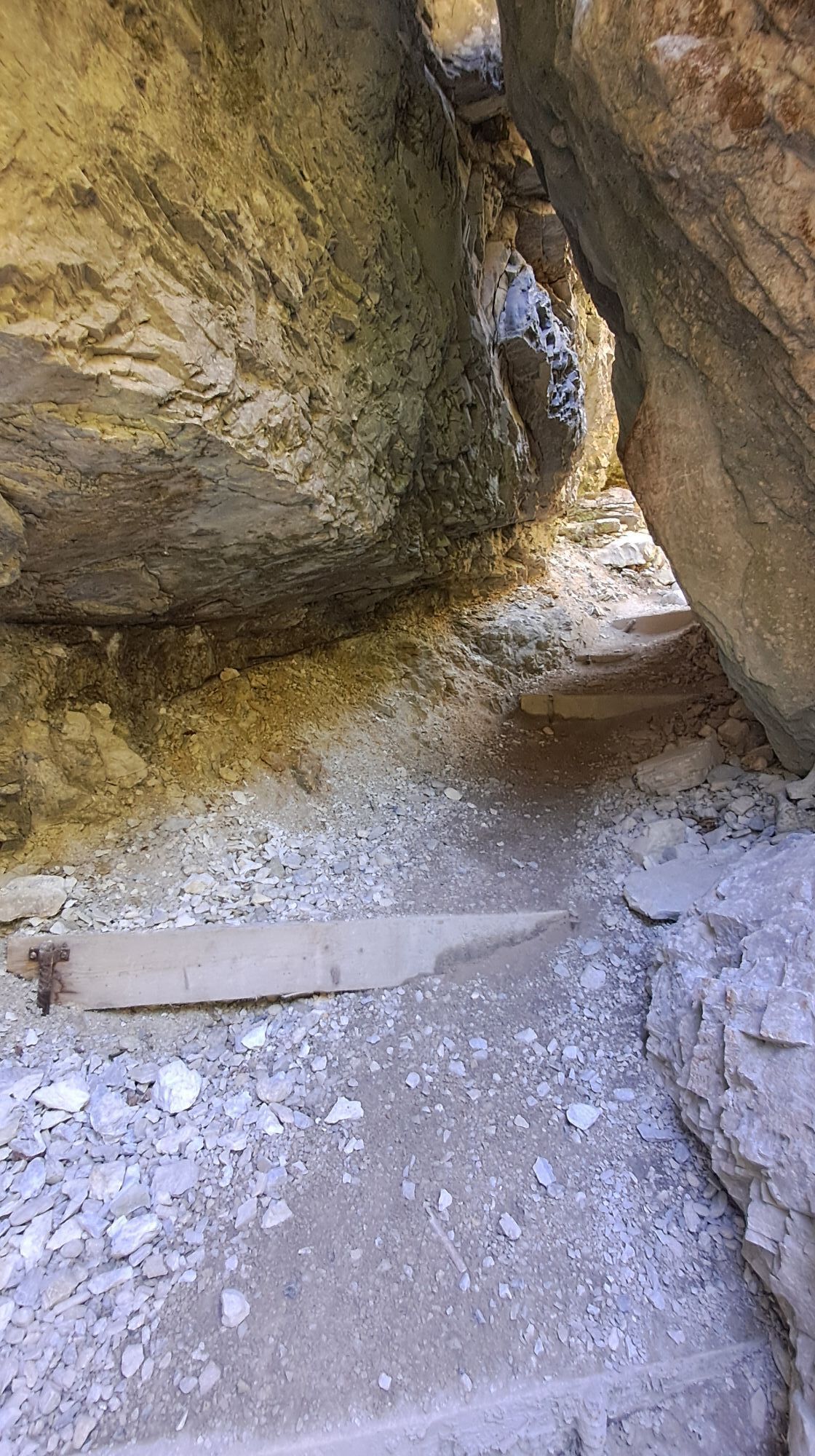
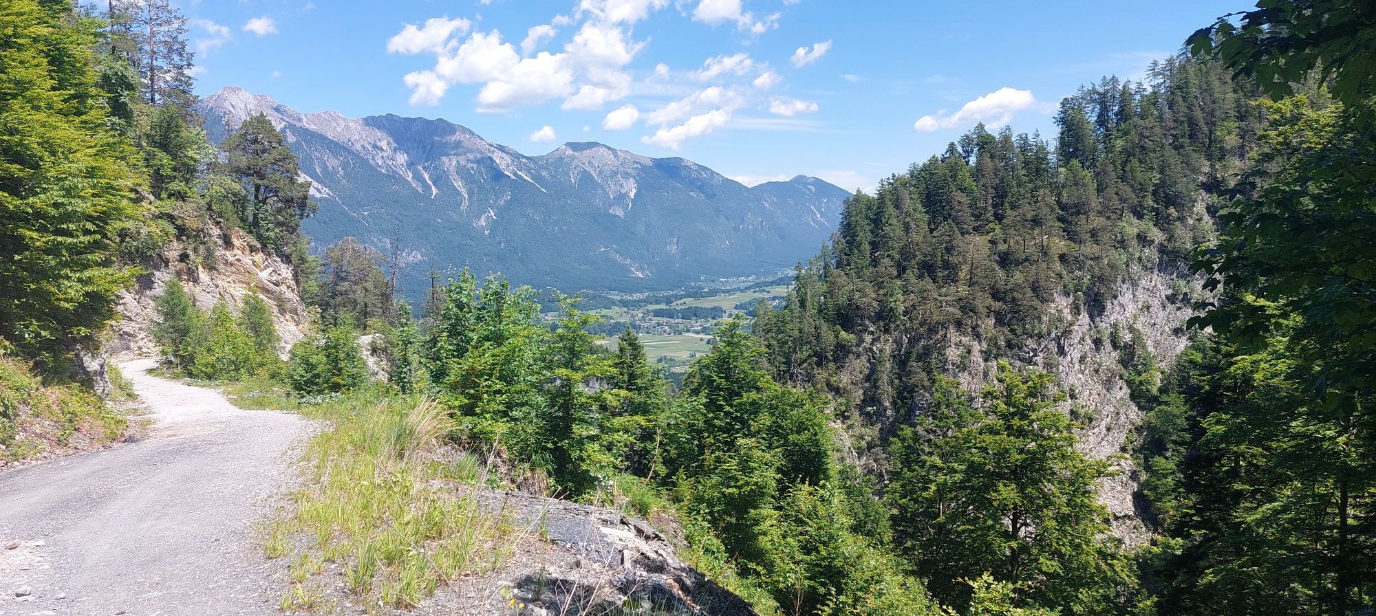
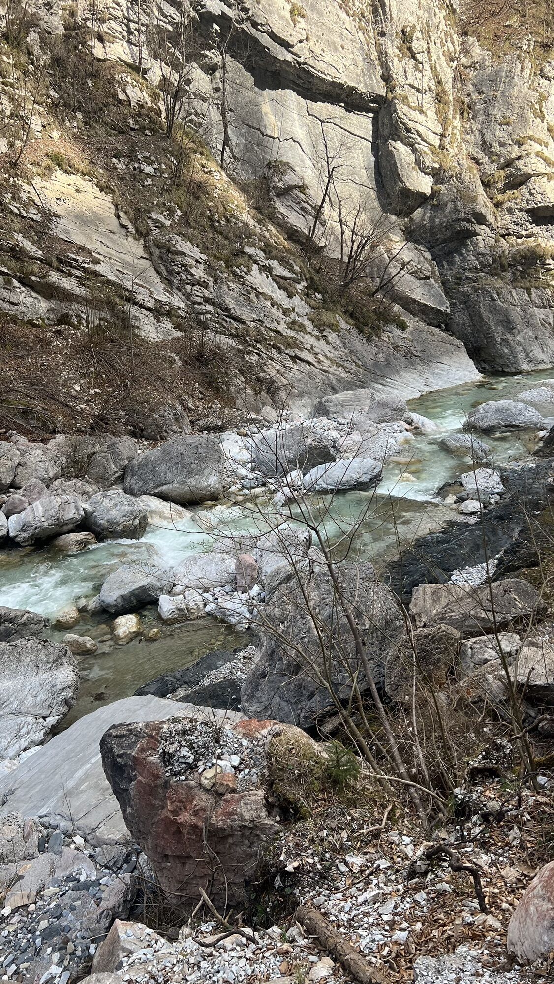
The Garnitzen Gorge has been accessible since 1891 thanks to the Austrian Alpine Club - Hermagor section. By 1900 it was passable throughout, but floods repeatedly destroyed the gorge path. Today, the...
The Garnitzen Gorge has been accessible since 1891 thanks to the Austrian Alpine Club - Hermagor section. By 1900 it was passable throughout, but floods repeatedly destroyed the gorge path. Today, the Garnitzen Gorge is protected as a natural monument.
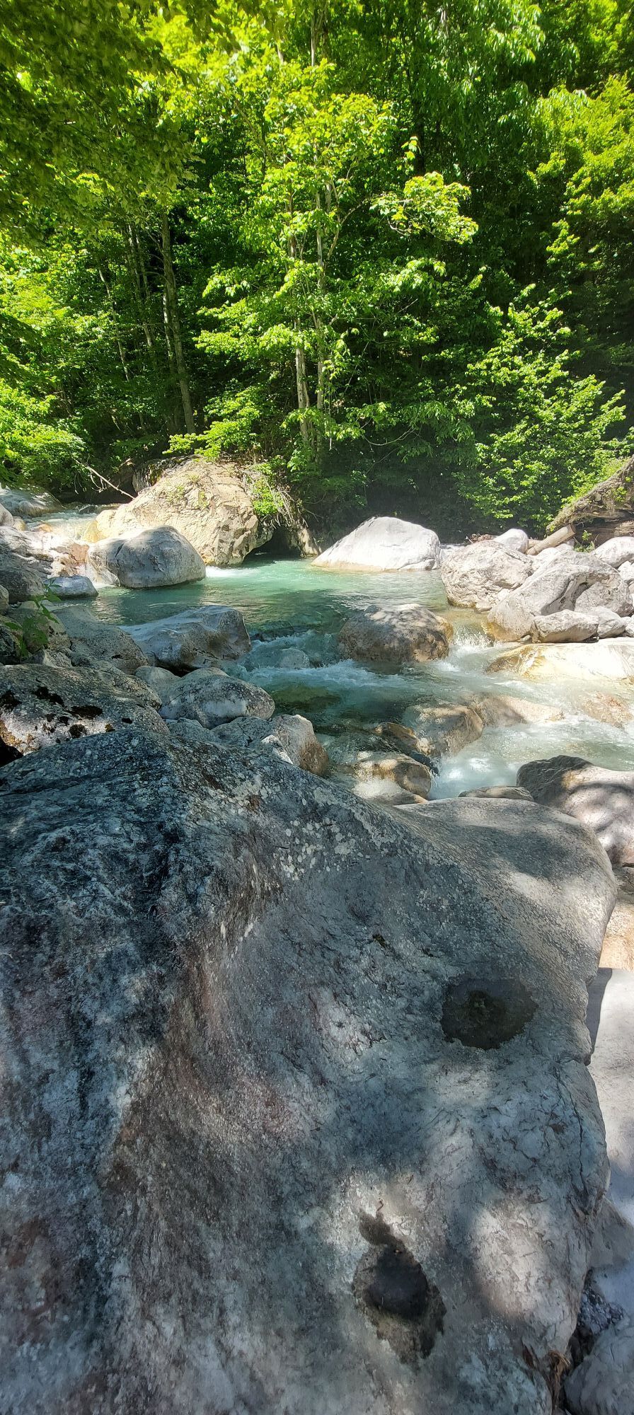
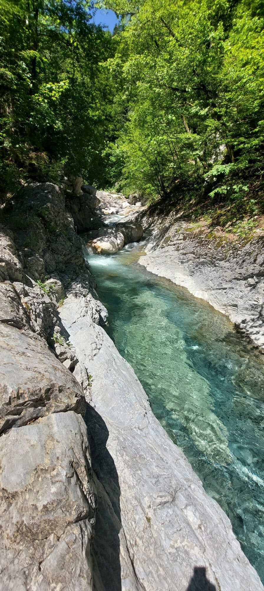
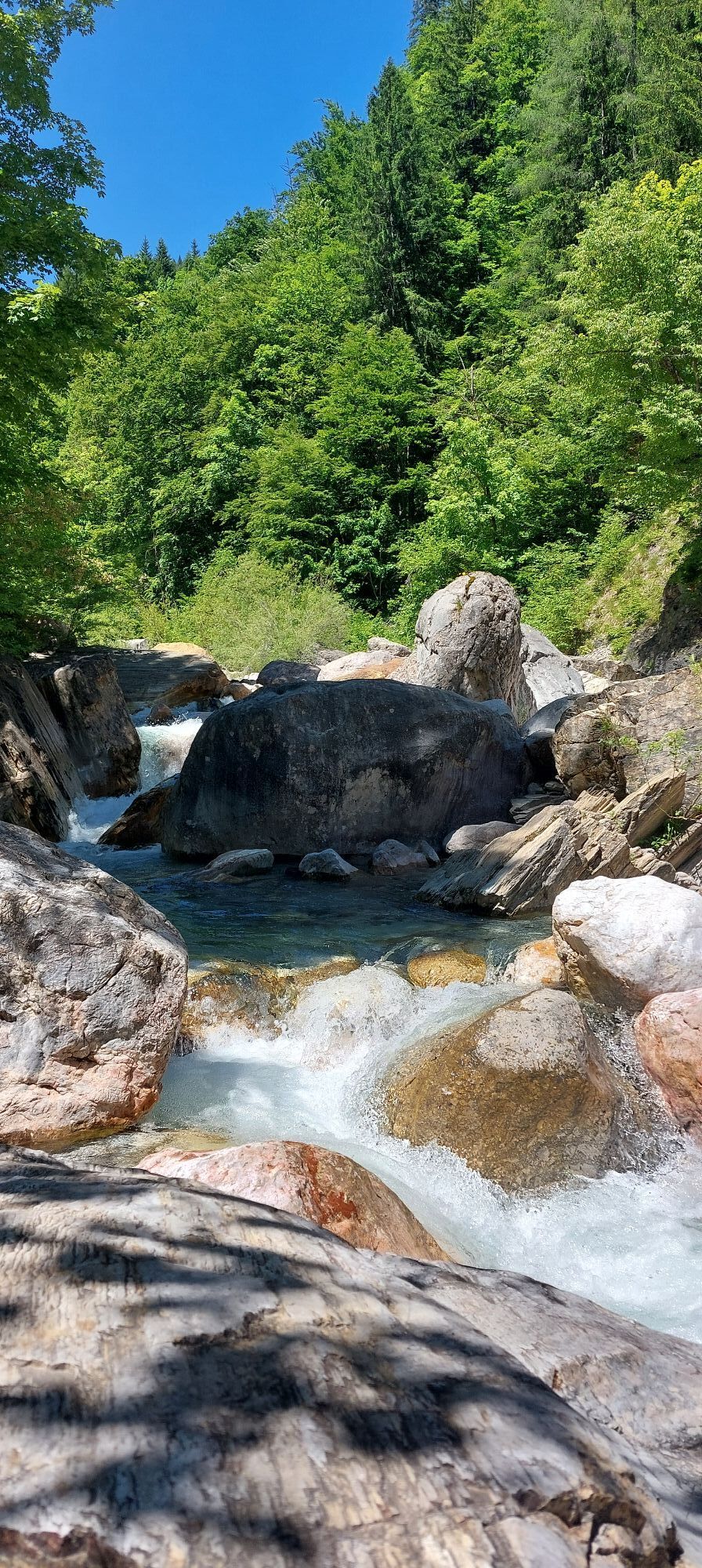
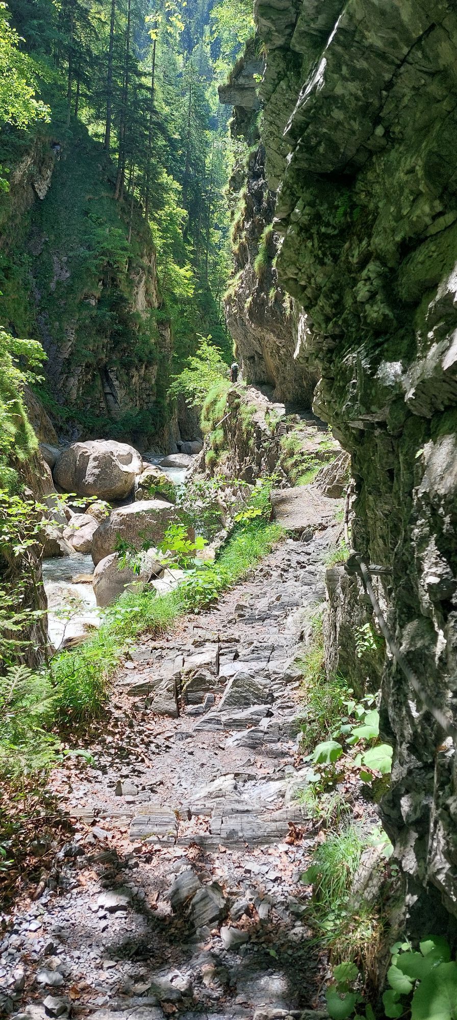
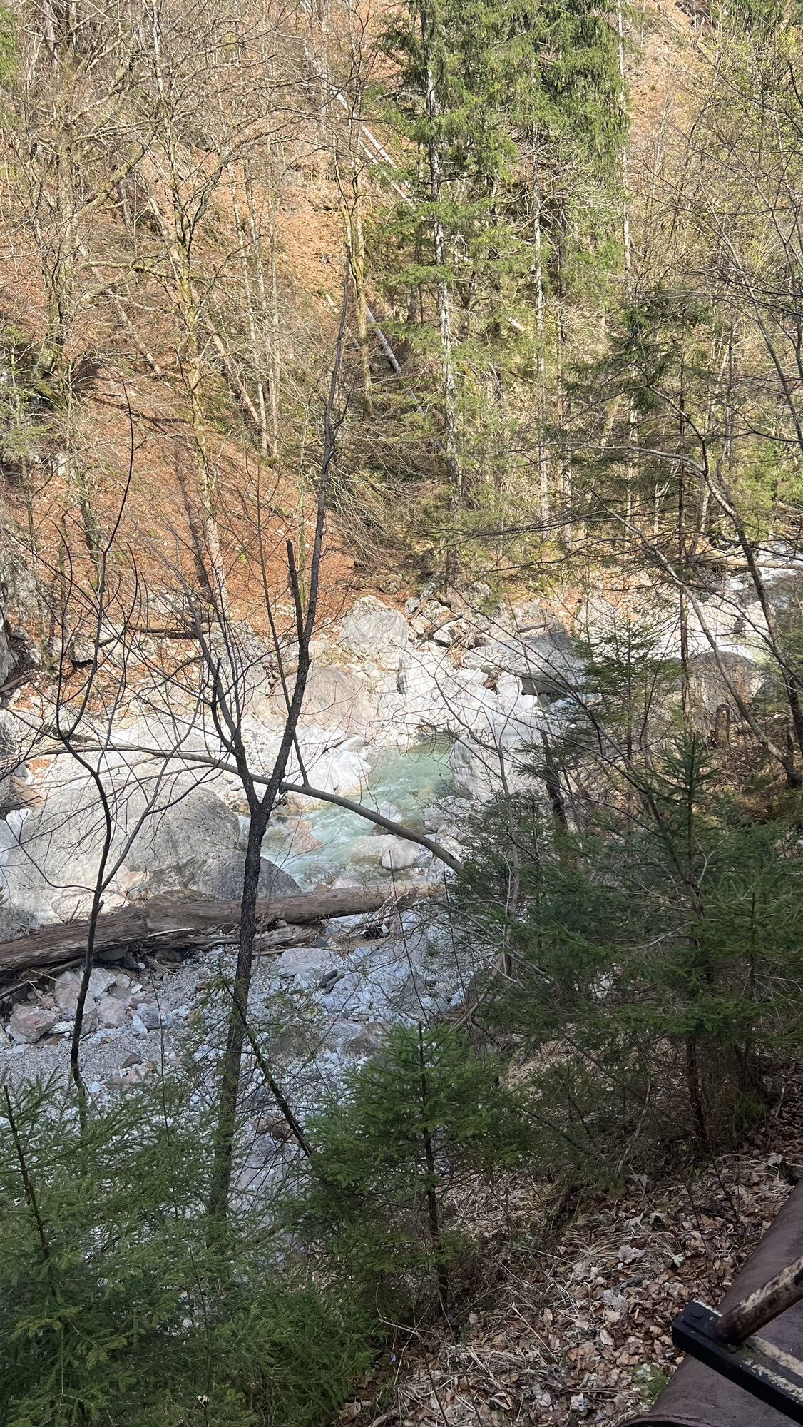
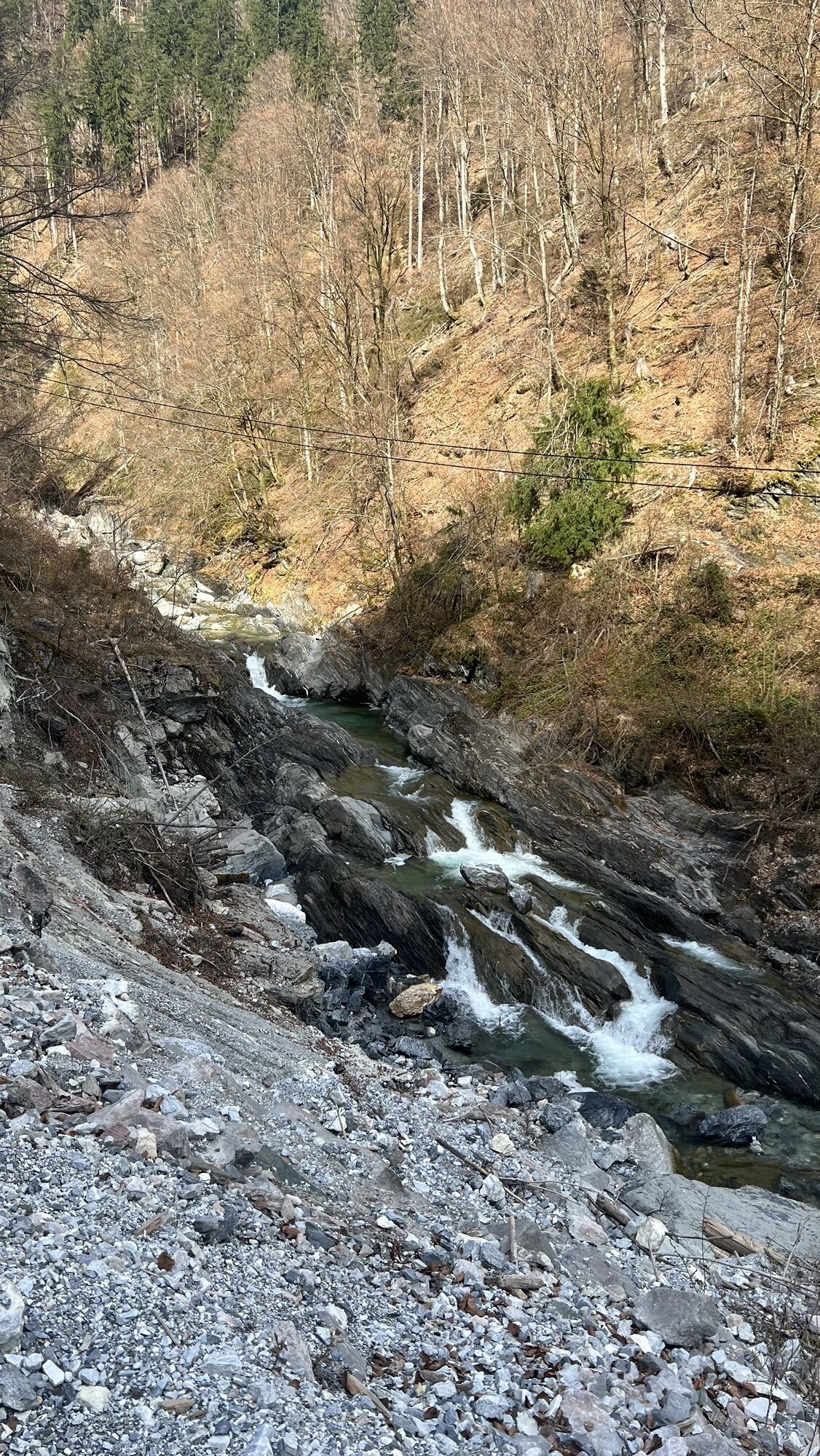
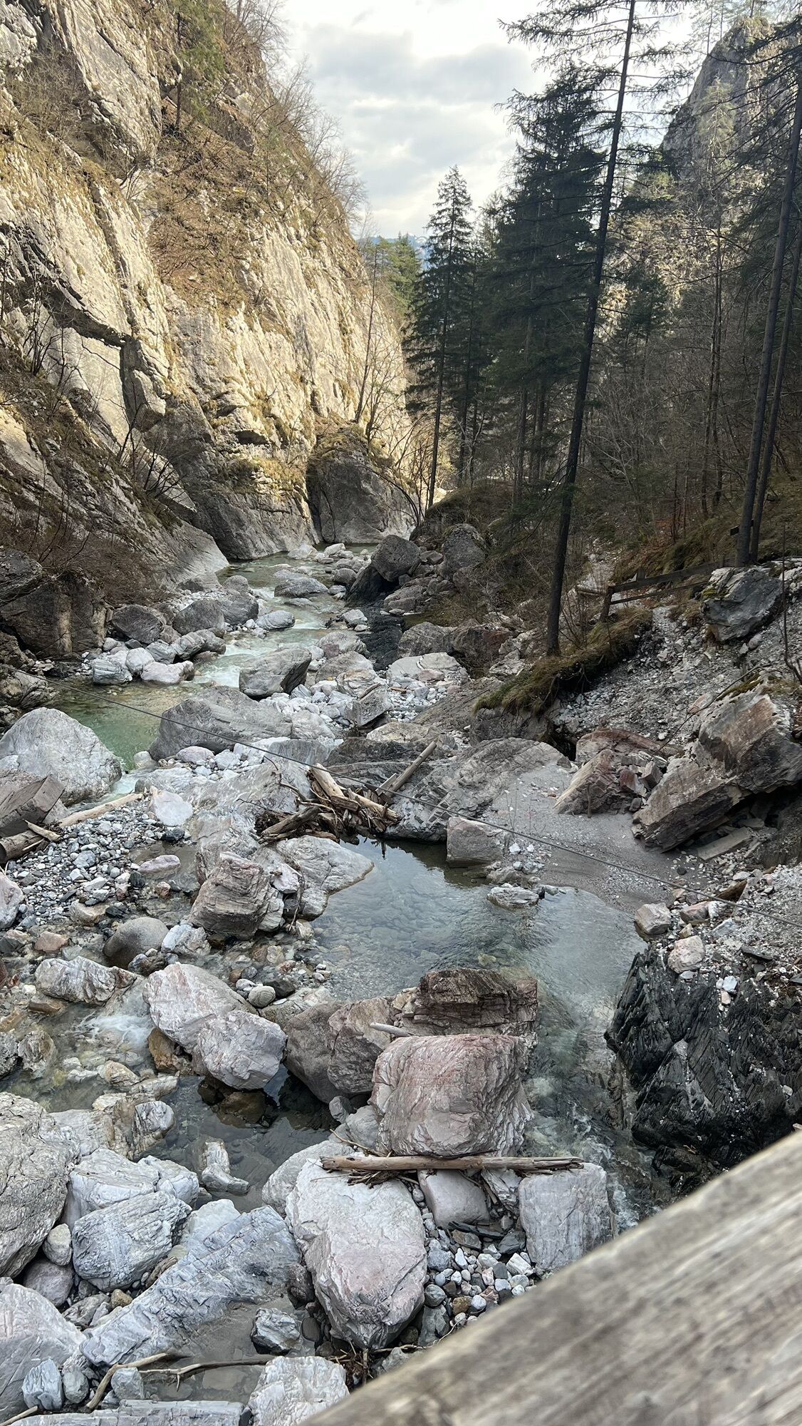
Along the entire trail length, breathtaking views open up, always accompanied by the rushing water of the Garnitzenbach. It has cut deeply into the rock, polished it smooth, and thus grants us a fascinating insight into the interior of the mountains and their rocks.
But the water was not working alone. Many forces contribute to the formation of a gorge and landscape. Which forces act and how the rocks themselves influence gorge formation is shown by the Garnitzen Gorge geotrail.

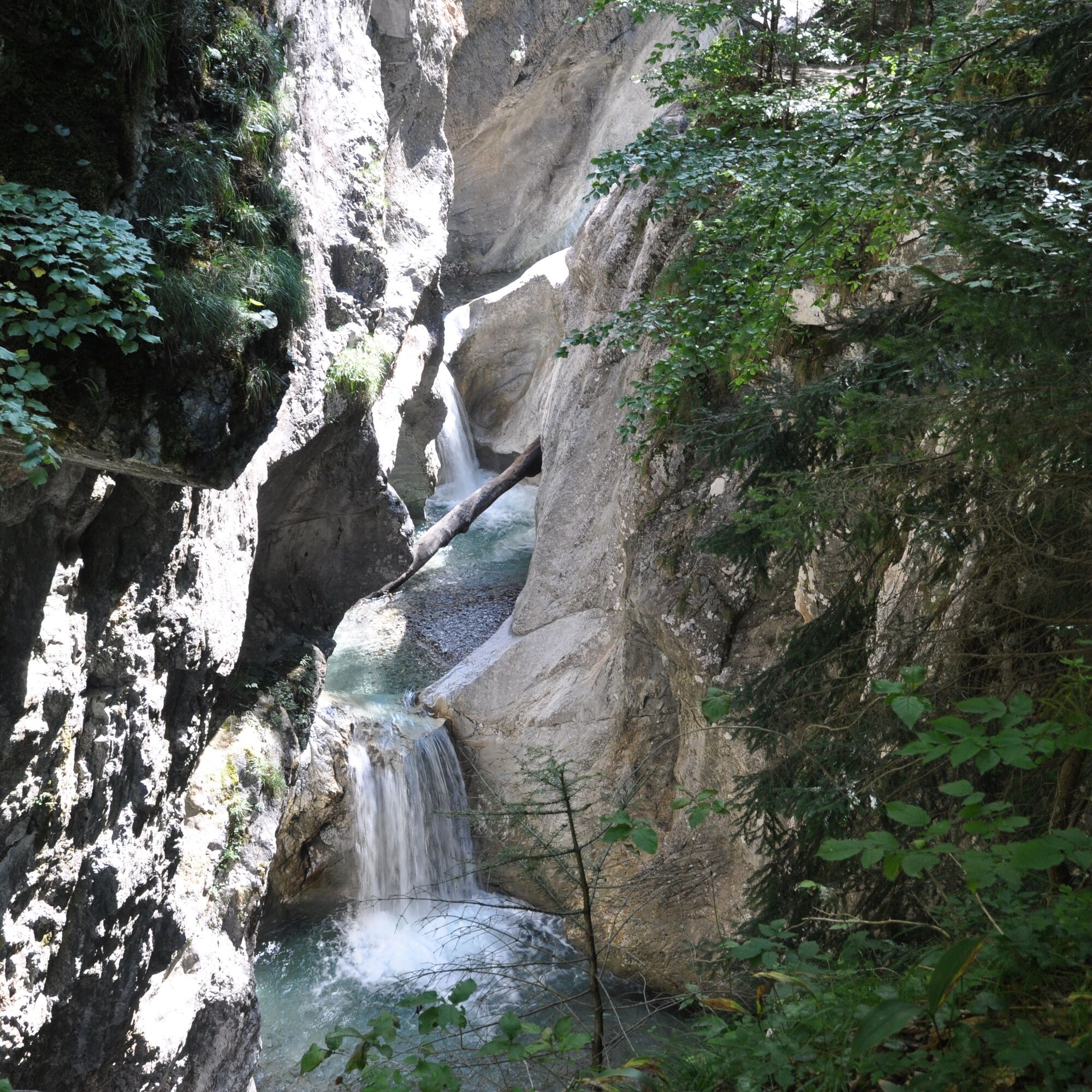
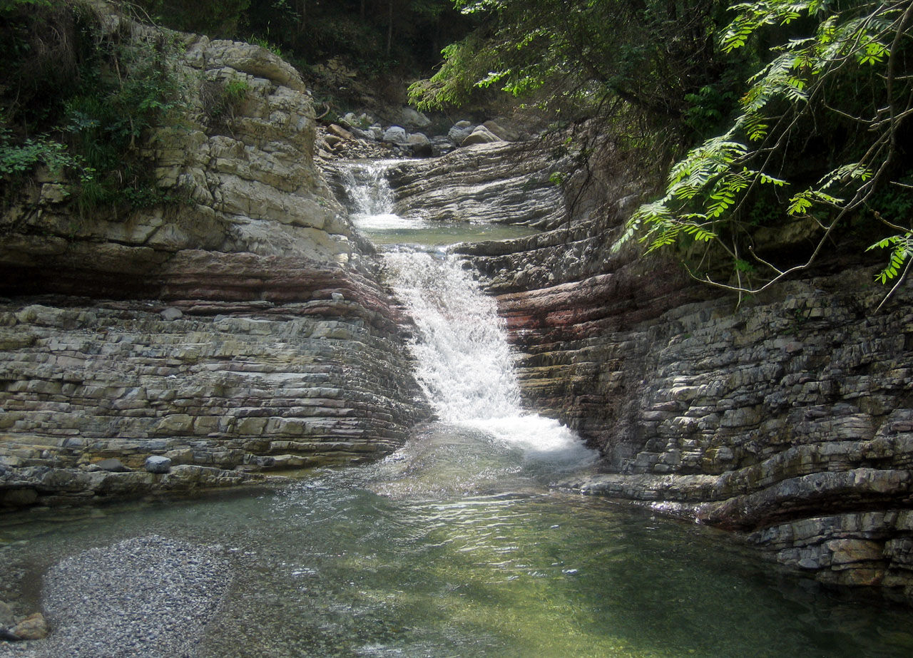
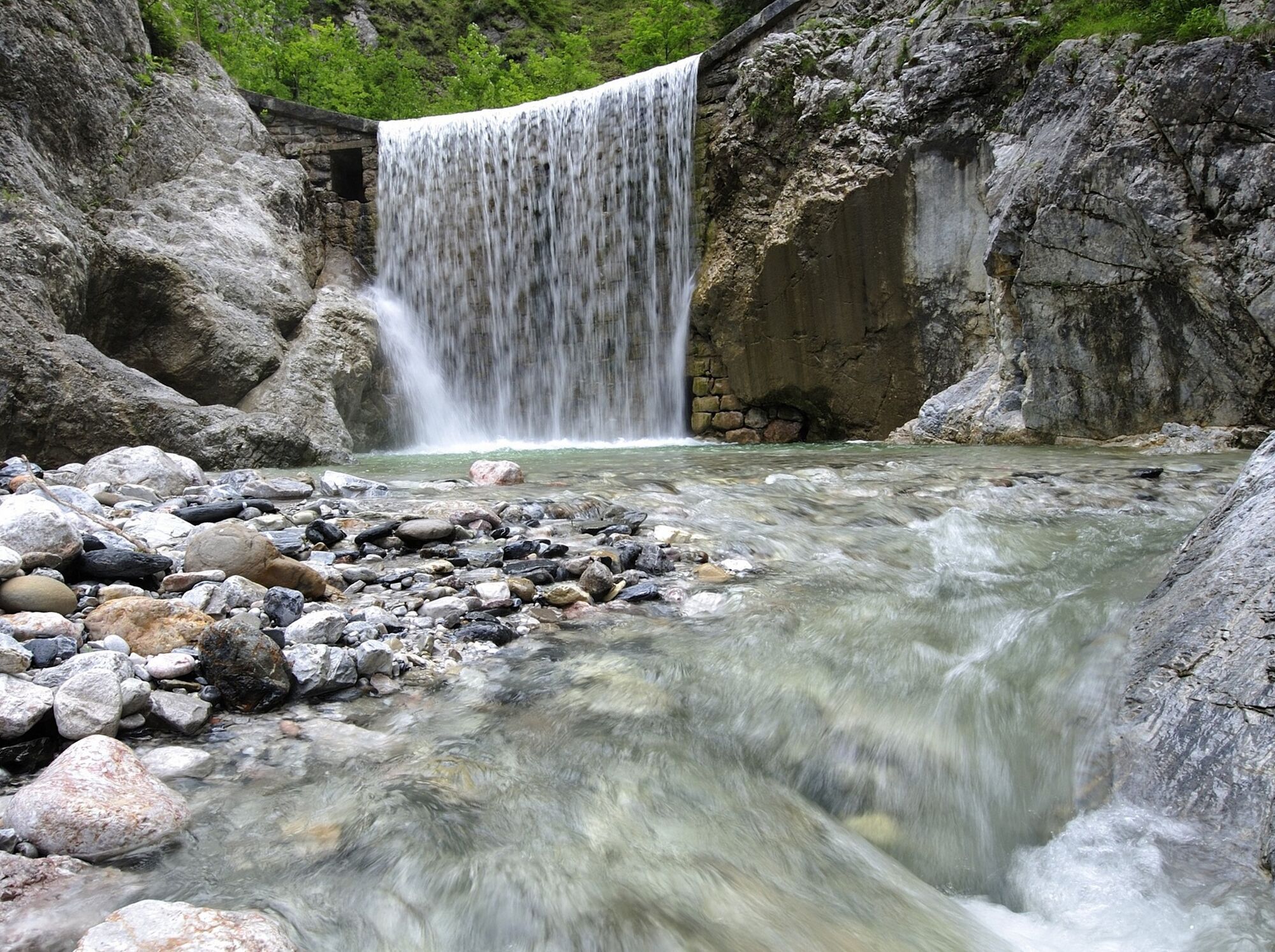
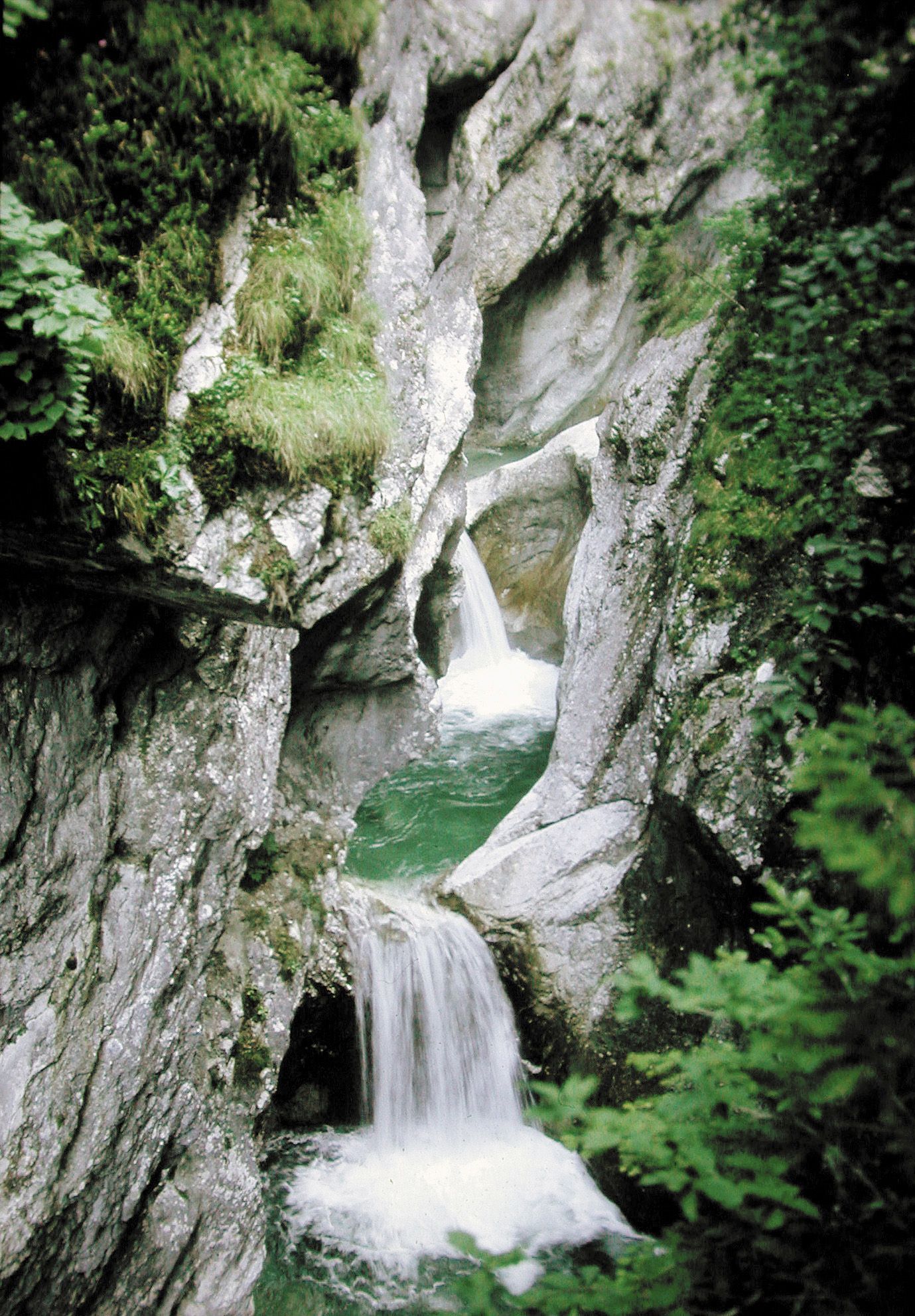
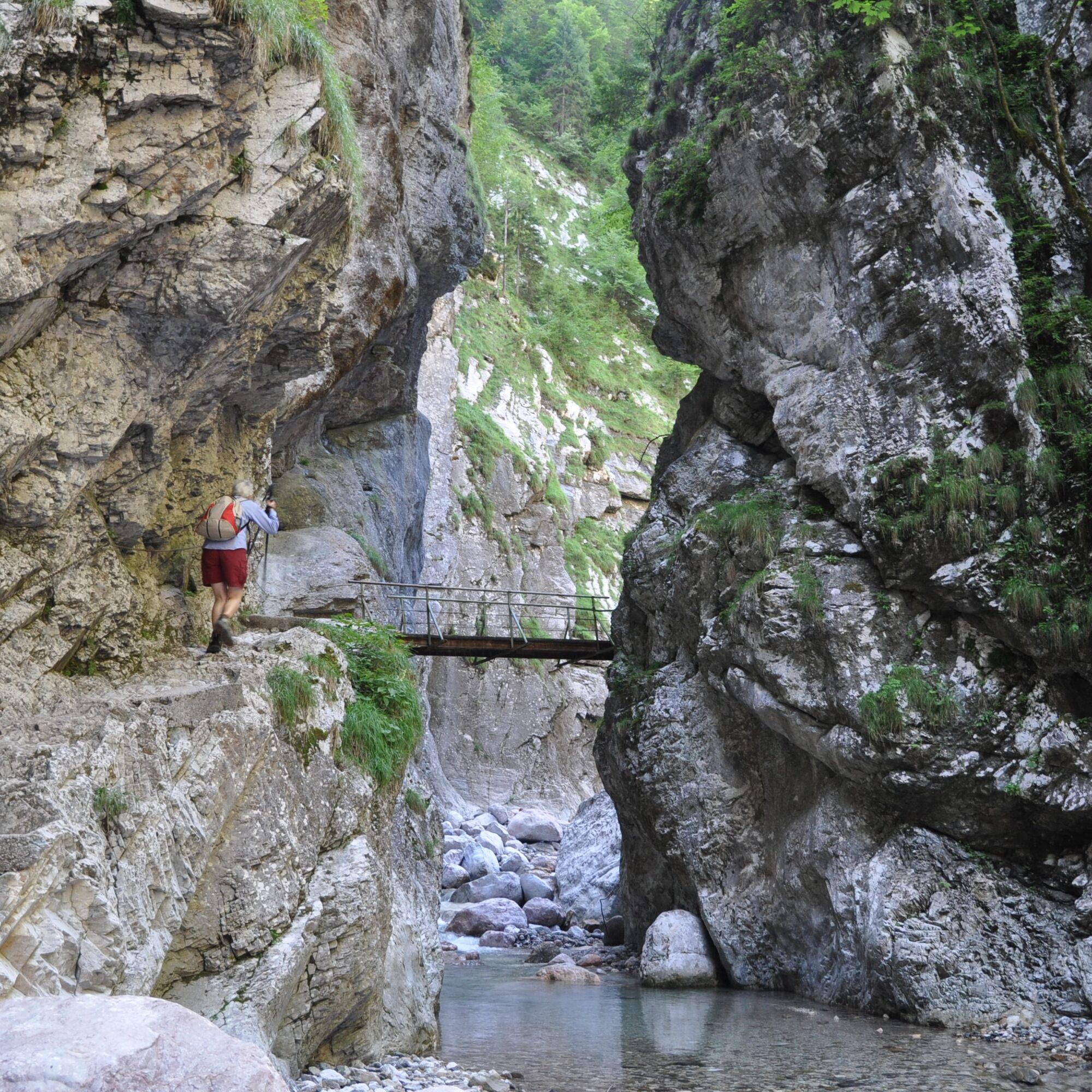

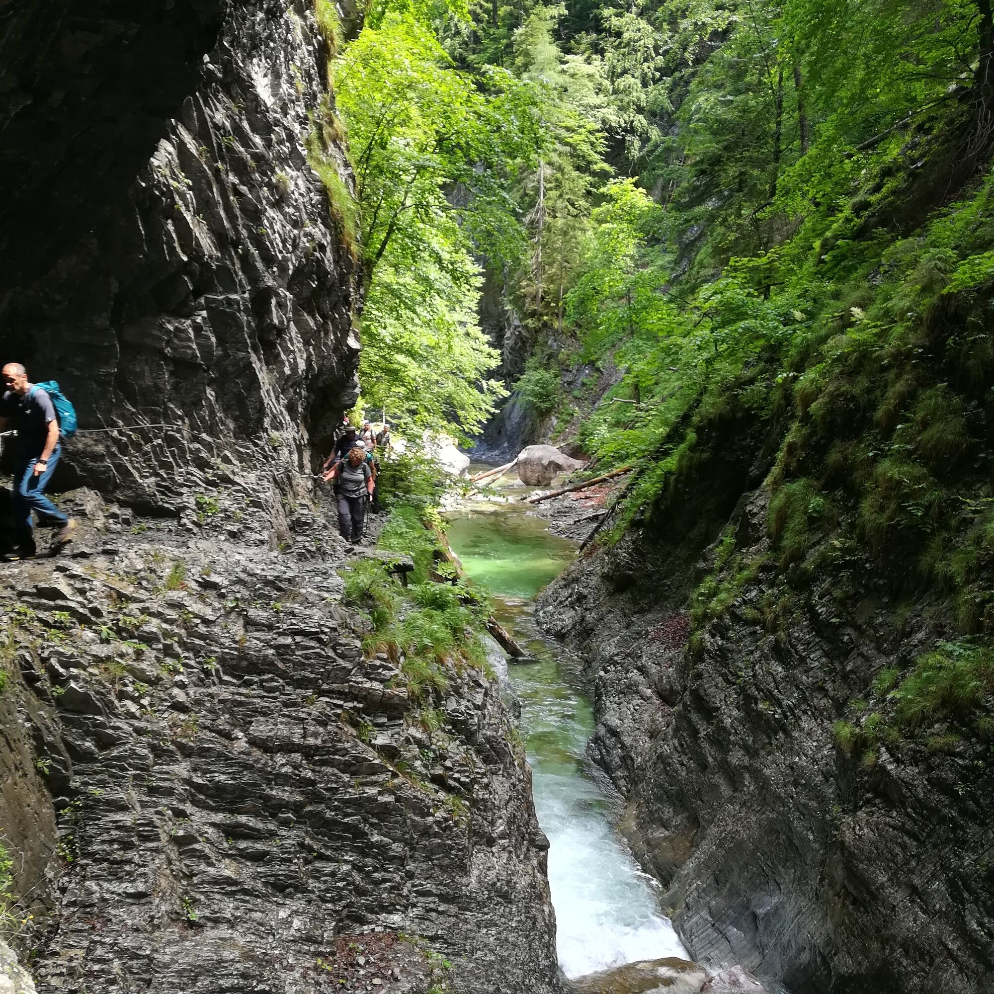

STOP 1 The Gorge – a work of rubble and water
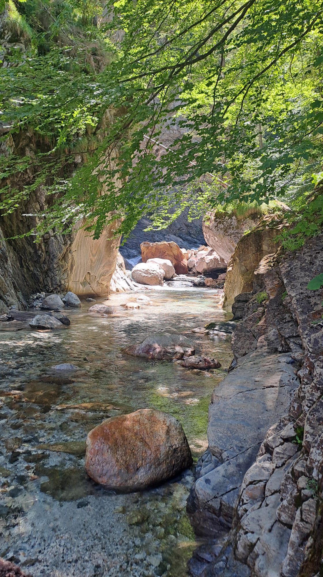
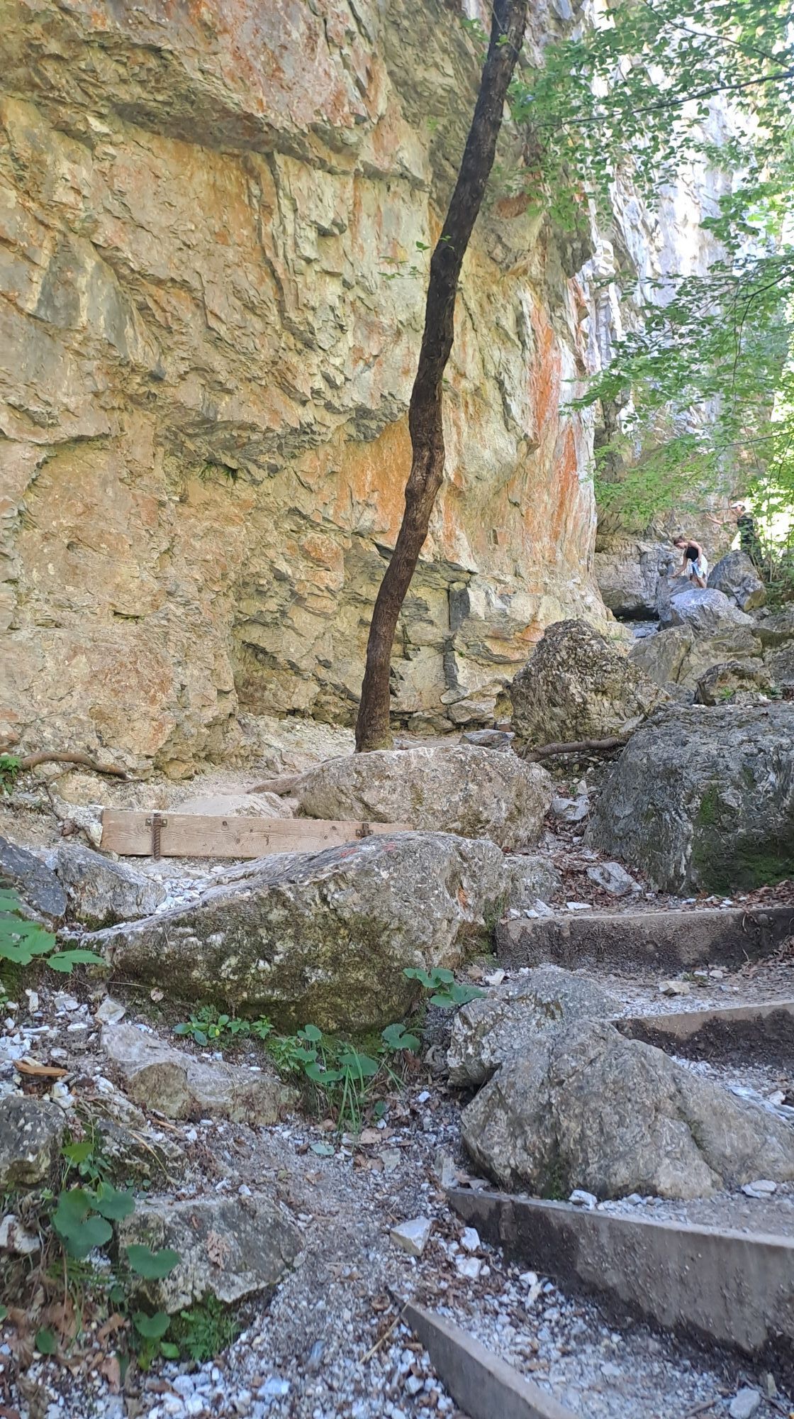
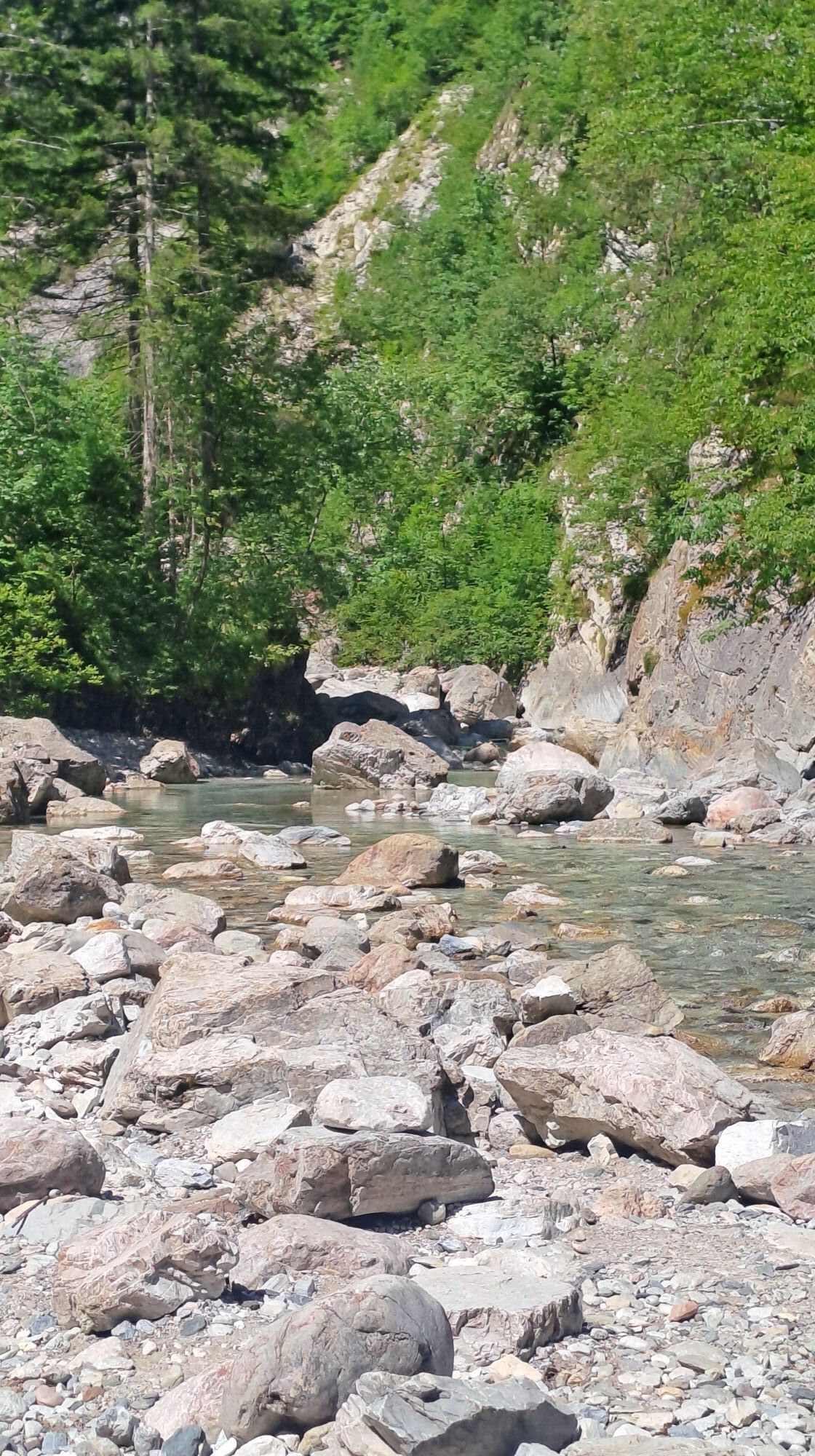
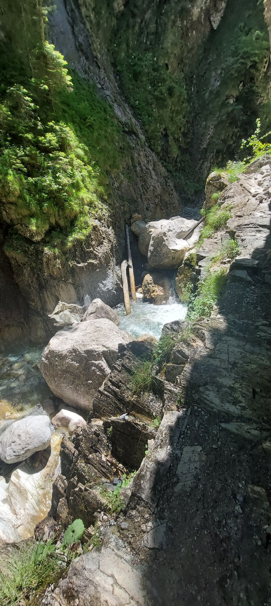
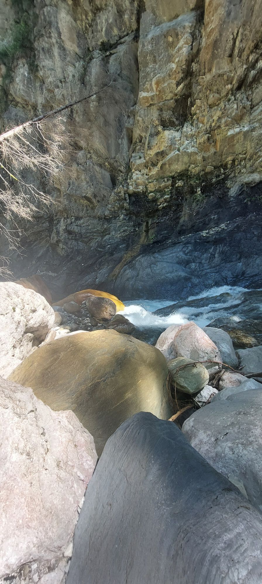
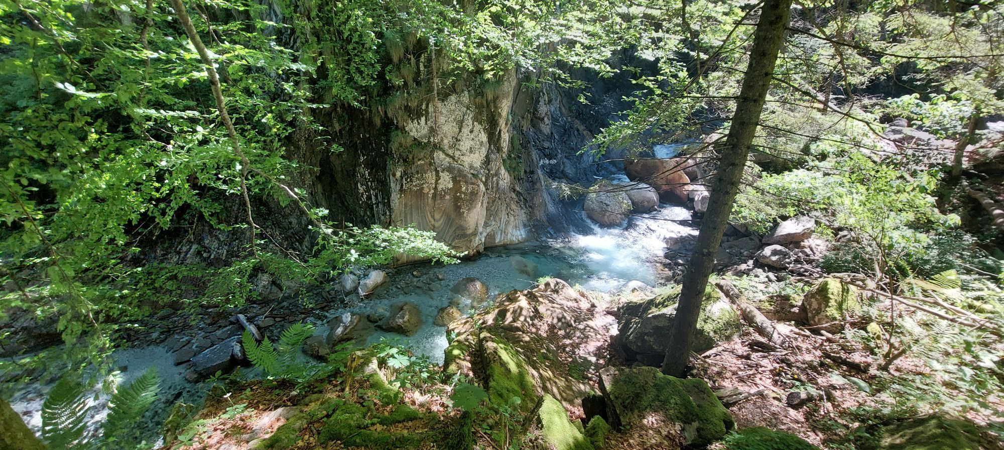
The very first glance into the Garnitzen Gorge reveals on both sides of the Garnitzenbach the typical feature of a gorge: the almost vertical rock walls. This is also the difference from a ravine, whose walls are less steep.
The rock walls consist of light gray banded limestones, the dominant rock along the geotrail. Just above the stream you can see the second main rock: dark gray shale.
The formation of the gorge certainly dates back to the last Ice Age, the Würm Ice Age. Of course, there were already streams before, but statements about their courses would be speculative. When the last glacier melted about 20,000 years ago, unimaginable amounts of debris and rubble were produced by the frost of the Ice Age. This debris was transported into the valley by the Garnitzenbach and gave it an enormous abrasive power (erosion power). This caused it to cut deeply into the rock.
In a weakened form, the erosive power of the water still acts today and deepens the gorge further.
STOP 2 - Banded limestones - moved by a gigantic engine
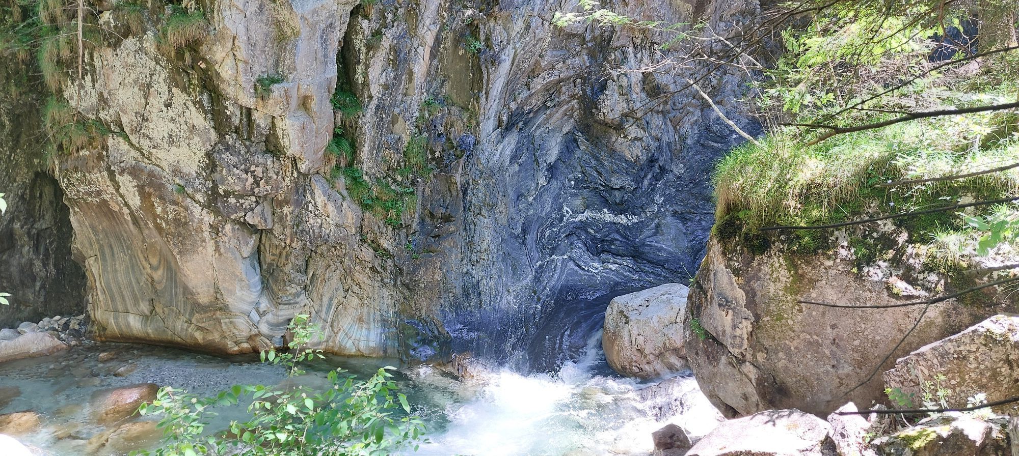
In the field of view, an imposing rock wall of banded limestones with extremely smooth walls rises. The striking surfaces arose because banded limestones and shales here were once moved against each other by unimaginable forces from the earth's interior, so-called endogenous forces. Only through these displacement processes did the two rock packages come into their current neighborhood. But now only the mighty banded limestones are visible. The softer shales have already been eroded.
The rocks are called banded limestones because they show alternating layers of different colors. This is due to accompanying minerals contained in the limestone (e.g., green chlorites). From a few fossil finds, petrified organisms, it is concluded that the banded limestones were deposited about 380 million years ago during the Devonian period in a sea.
They were overlaid by younger rocks and went through two mountain-building phases. Due to the pressure during these phases, the limestone was transformed into a coarse-grained marble. However, this is not reflected in the name.
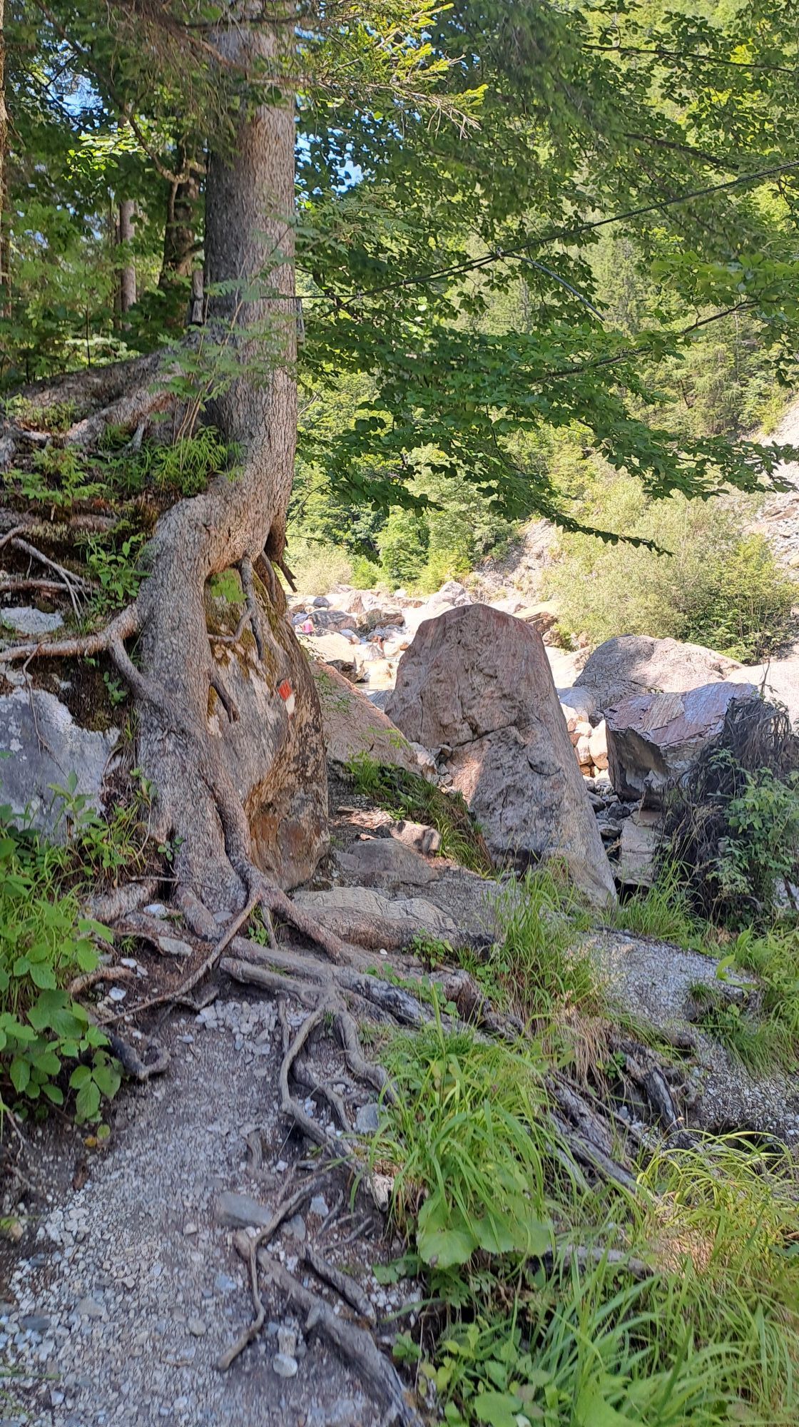
STOP 3 European beech – rock splitting with root power
A landscape is shaped by the effect of many forces. The root network of the European beech here impressively illustrates one of the forces shaping the earth's surface. They are all called exogenous forces.
Roots develop such high pressure through their growth in thickness that they can split huge rock blocks or asphalt surfaces. This process is called root splitting, a type of weathering. The rock is only crushed and not changed in its composition.
The crushing, however, promotes further weathering processes because the surface of the rocks is increased, providing more attack area for water and acids. These change the composition of the rock by forming new minerals.
Thus, the crushing of rocks, their transport, and transformation over millions of years cause whole mountains and landscapes to disappear.
STOP 4 Shale – a weakling
At this location, the erosive power of the water has clearly exposed the second main rock along the geotrail, gray shale.
The sand-rich shales are near-coastal marine deposits. Rivers washed fine-grained erosion debris from a now long-disappeared mountain range into the ancient sea. Such conditions prevailed about 450 million years ago and about 330 million years ago. However, since fossils are missing in the shales, a precise determination is not possible.
Like the banded limestones, the shales were overlaid by younger rocks and underwent two mountain-building phases. Due to the pressure during these phases, the shales were consolidated and also slightly transformed (metamorphosed). Their schistosity is much more pronounced than that of the banded limestones because, unlike the granular limestones, they consist of platy minerals (mainly sericite and chlorite). Therefore, they offer less resistance to the abrasive power of the Garnitzenbach than the compact limestones.
STOP 5 The course of the gorge – a contest of forces
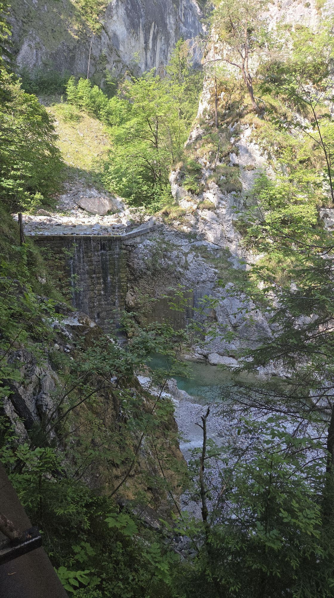
At this stop, you look from the Ida-Warte at a waterfall plunging over light gray banded limestones. Below the waterfall, the limestones along a fault line meet the more easily erodible shales. A fault means a weakening of the rock structure because rocks were moved against each other here. The shales and the fault run west-east. Both therefore force the stream coming from the south to make a turn to the east, as they offer less resistance to the water than the compact limestones.
Above the Ida-Warte, however, the stream flowed crosswise through the shales from south to north. And previously, as below the Ida-Warte, it followed the shales and fault lines in a west-east direction. How can the twice extreme change in direction with the same rock composition be explained?
Besides the rock and the gradient, fissures in the rock determine the flow direction of the water. In the Garnitzen Gorge, especially the banded limestones have such north-south fissures. These were likely decisive for the first significant change in direction from west-east to south-north.
STOP 6 Whirlpools – water vortices with depth
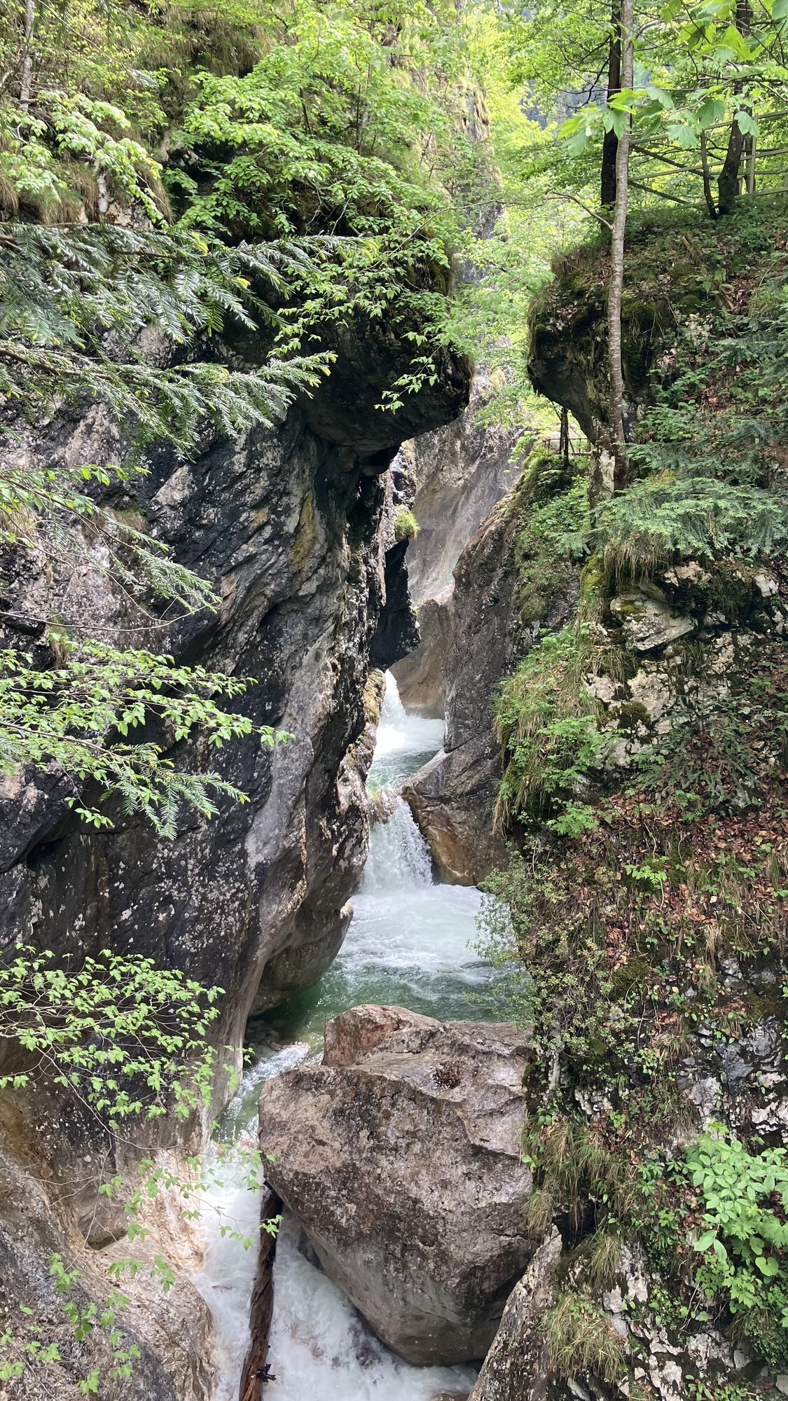
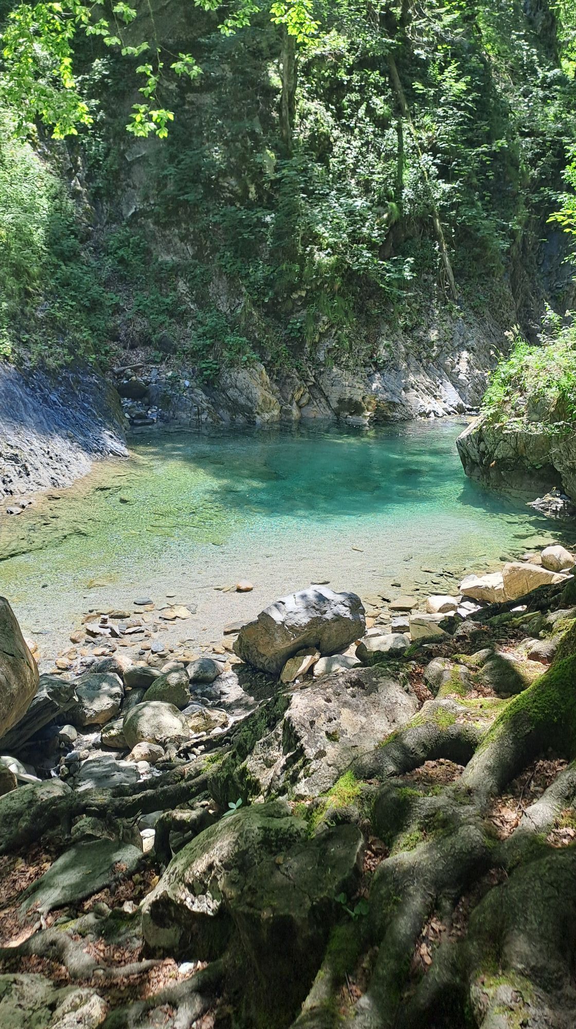
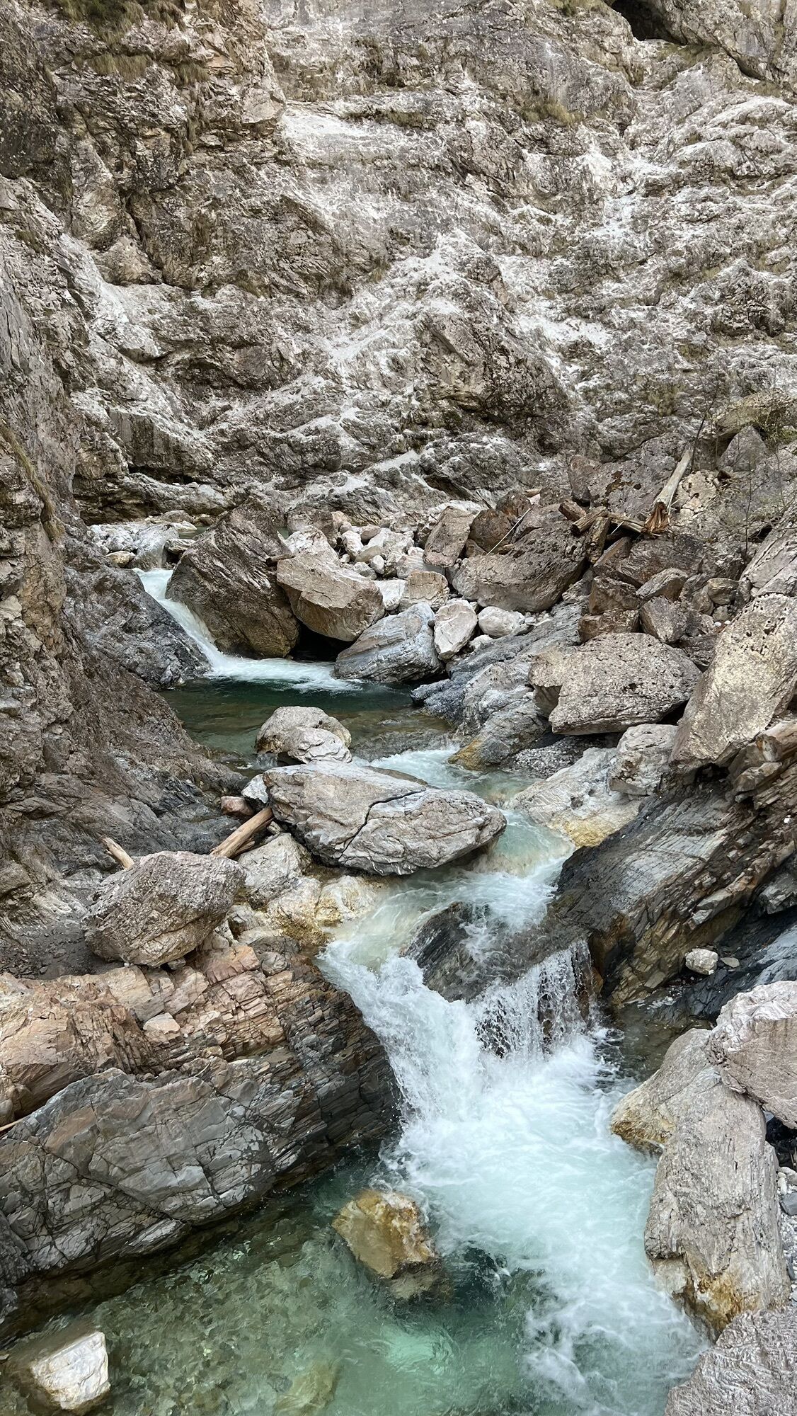
At this stop, you look into the narrowest section of the Garnitzen Gorge. Here, the stream has cut deeply into green-red-gray banded limestones and modeled impressive whirlpools, also called kolks.
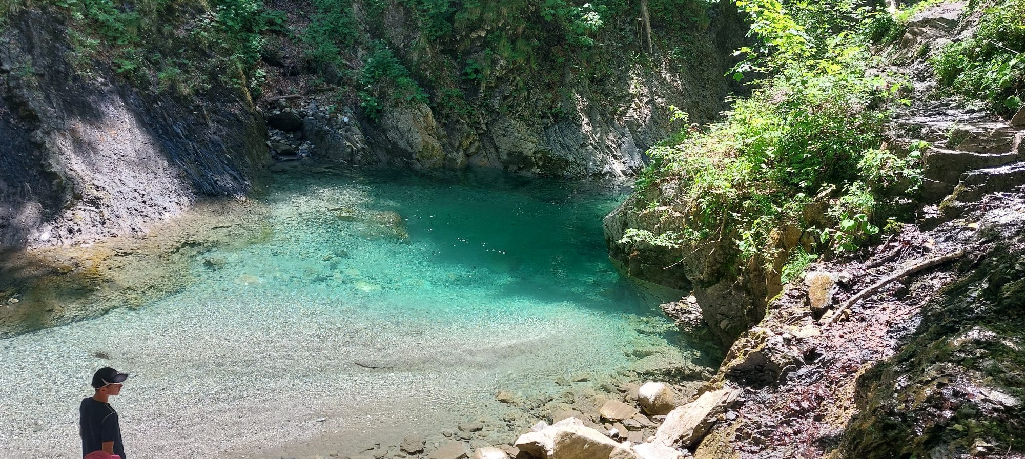
Whirlpools are cylindrical to basin-shaped depressions that form when flowing water in the streambed strikes an obstacle and is forced to rotate in the same spot. In the whirlpool, the water flows at increased speed and swirls the carried debris in circles. This debris reinforces the deepening effect of the water because it increases the abrasion of the rocks. Simultaneously, the higher speed ensures quicker removal of the eroded material.
Similar hollow forms develop beneath glaciers due to meltwater. They are called glacial potholes there.
STOP 7 Folds – in the vise of mountain building
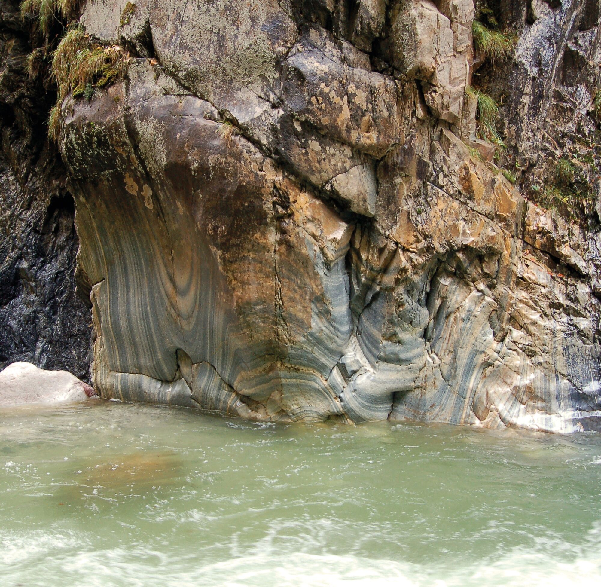
Nowhere else does the gorge offer such a breathtaking view into the interior of a mountain and its rocks as on the opposite rock wall. At the same time, the exposed rock folds hint at the forces acting during mountain building. Like in a vise, rocks are compressed and folded.
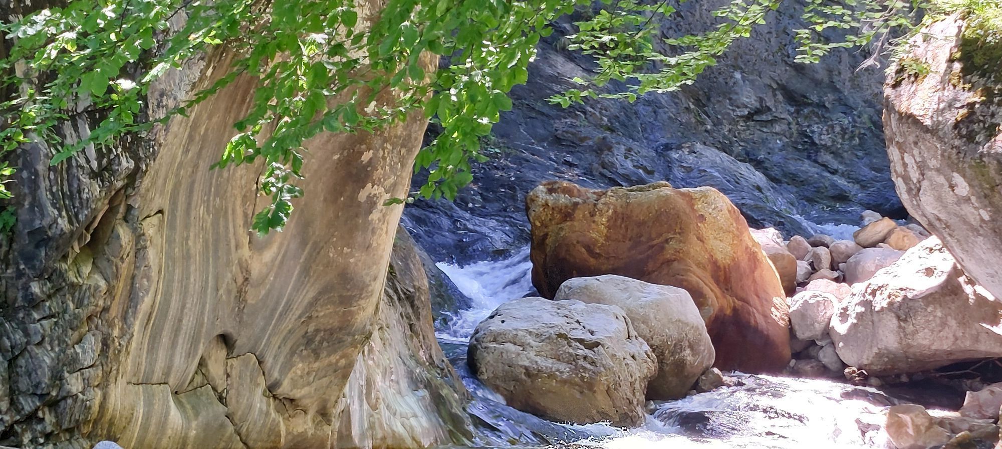
On the left side of the wall, the water has polished the banded limestones almost to a high gloss. Due to their differently colored layers, they show the folding more beautifully than can be imagined. Immediately to the left, you can see how inconspicuous the rock looks when the water's polishing is missing.
About in the middle of the wall, the water has exposed a large, wavy kink fold. It stretches from the black quartz-rich shales at the lower part of the wall to the lighter banded limestones above. The fold is not clearly visible in the shale because it reacts differently to the compressive stress than the banded limestones.
Far right on the rock, just above the stream, you can spot an extreme kink fold. Here, the rock layers have been bent by 180 degrees!
STOP 8 The erratic boulder – a gift of the Ice Age
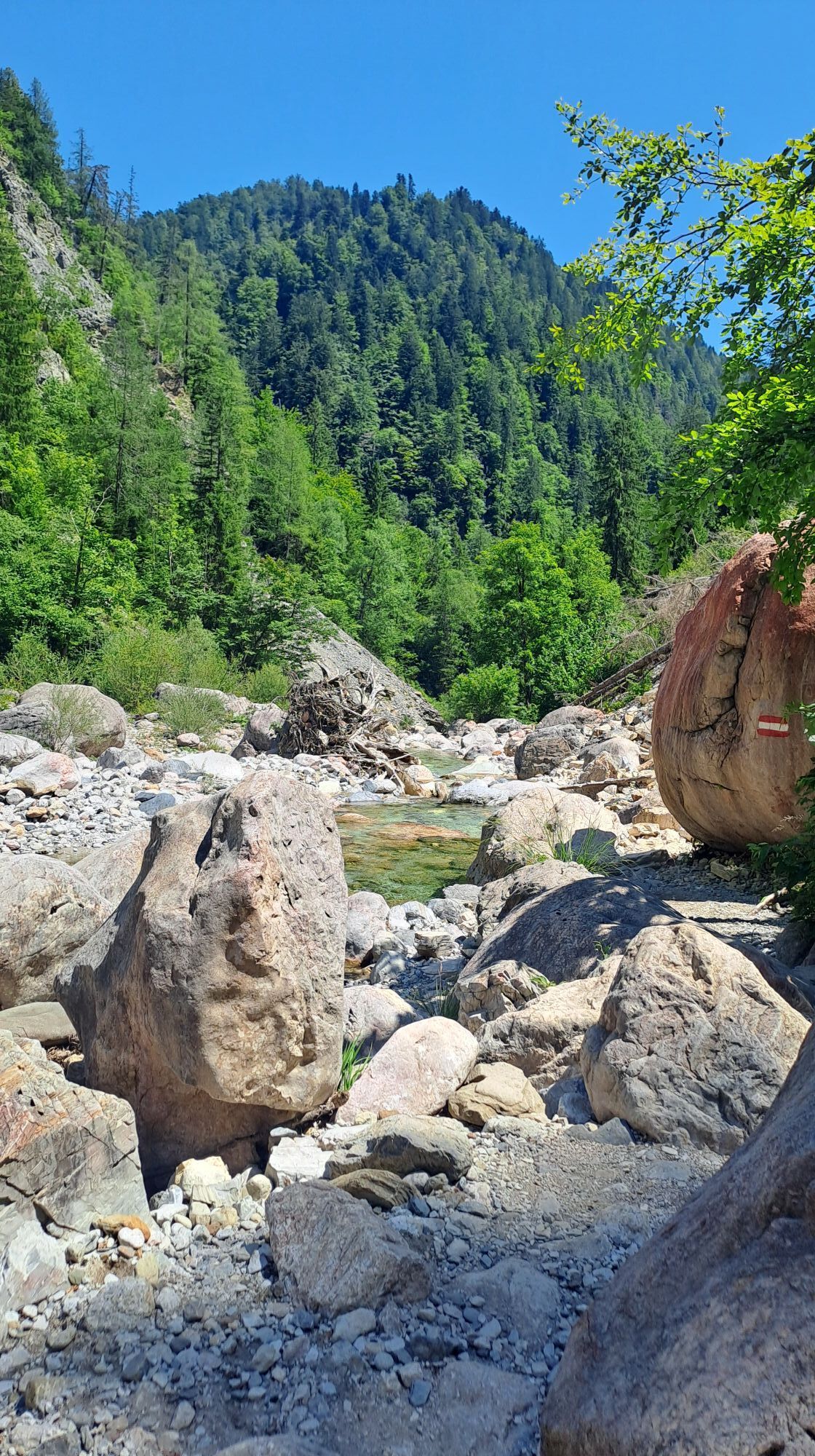
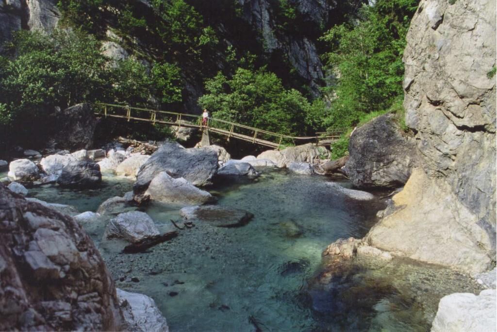
By the bridge on the stream bank lies a large red-gray laminated stone. It is one of the most beautiful in the Carnic Alps. Upon closer examination, you can see net-like structures on its surface. These consist of dark clay particles surrounding lighter limestone cores. Rocks with such structures are called flame limestones. Their origin is still not conclusively resolved.
Besides its beauty, the approximately 400-million-year-old flame limestone has another peculiarity: its occurrence here. Such rocks are not found in the Garnitzenbach catchment area. Therefore, the water could not have brought it to its current position. There is, however, a plausible explanation.
During the last Ice Age, the entire Gailtal valley up to an elevation of about 2,000 m was covered with glacier ice. And a glacier, unlike water, can cross passes or watersheds. We owe its occurrence in the Garnitzen Gorge to the transport power of the Gail glacier. Such rocks transported by a glacier are called erratic blocks or erratic boulders.
STOP 9 Various rocks – a common force act
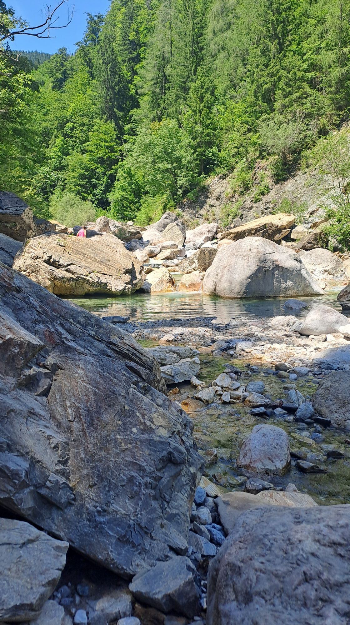
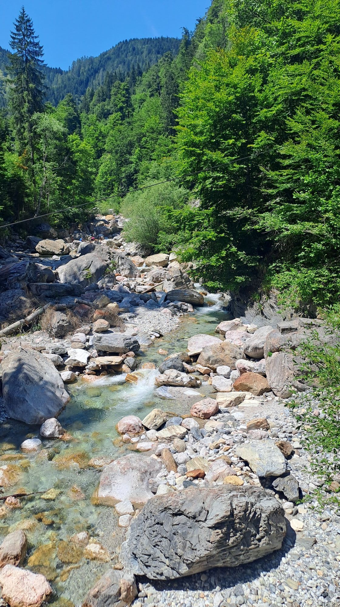
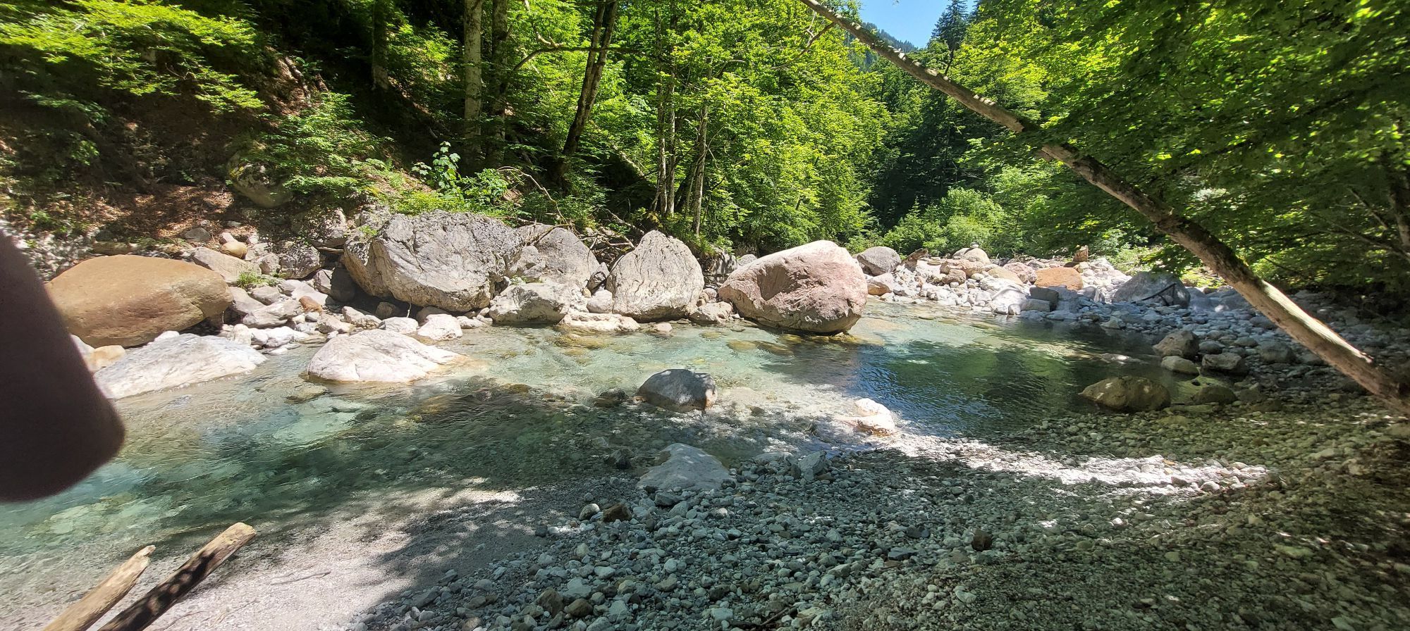
From the beginning, the bed of the Garnitzenbach fascinates with the splendor of rocks to whose formation many forces have contributed. The colors of the dominant banded limestones and shales are multiplied by the rocks that the Garnitzenbach carries from the rear part of the gorge.
There, completely different rocks build up the mountains and rock walls than along the geotrail. These are red sandstones, colorful shelly limestone conglomerates, highly porous ocher-colored tufa springs, almost white dolomites as well as variously colored limestone and shale rocks. Some rocks contain fossilized sea creatures. All of these can be discovered at this stop.
Most stones were strongly rounded on their way. But you also encounter angular specimens. These have a short transport path and originate from the adjacent rock walls.
Tak
Tak
Hiking clothing
Mountain boots or sturdy footwear
Wind and rain protection
Snacks and drinks
In some places, it can be slightly slippery, especially after rainfall. Please hold the hands of young children.
via B111 Gailtal federal road to Möderndorf near Hermagor; continue toward Eggeralm to the gorge entrance.
By train or bus to Hermagor, then on foot to Möderndorf or by taxi to the gorge entrance.
at the gorge entrance, Klammwirt
Guided routes are organized by the GeoPark Karnische Alpen.
It is worth completing the entire route, because the fourth part is the most beautiful section of the gorge! On the way back there is a charming little church—definitely worth a detour!

 Uzyskaj wgląd
Zawsze na żywo z ponad 9 500 kamer internetowych. bergfex Jako użytkownik Pro, możesz teraz zobaczyć odpowiednie kamery internetowe dla wielu wycieczek w aplikacji wycieczki od. Pozwala to na bezpośredni podgląd aktualnych warunków.
Uzyskaj wgląd
Zawsze na żywo z ponad 9 500 kamer internetowych. bergfex Jako użytkownik Pro, możesz teraz zobaczyć odpowiednie kamery internetowe dla wielu wycieczek w aplikacji wycieczki od. Pozwala to na bezpośredni podgląd aktualnych warunków.
Popularne wycieczki w okolicy
-
5,0
W10 - Large lake round - Weissensee
ciężkiMountainbike 31,5 km -
4,8
RW_N9 Weißenbachklamm
średniWędrówka 7,49 km -
4,8
Tarvisio - Venzone (C101)
średniKolarstwo długodystansowe 64,7 km -
4,7
W5 - Naggler Alm Round Weissensee
średniMountainbike 15,8 km -
4,9
Weissensee Ost- nach Westufer
światłoWędrówka 10,2 km -
4,4
WY_W2 hike to the Alm behind the Brunn
średniWędrówka zimą 3,04 km -
5,0
Bodenalm - Ostufer - mit dem Schiff zurück
Mountainbike 19,1 km -
4,9
Weißenbachklamm
ciężkiWędrówka 5,80 km -
4,2
Slow Trail Pressegger See RW_N16
światłoWędrówka 5,78 km -
4,6
Bergstation Weißensee bis Golz
średniWędrówka 14,8 km
Wędrówki i tropienie


Nie przegap ofert i inspiracji na następne wakacje
Twój adres e-mail została dodana do listy mailingowej.





