






Ski tour to the Kluidhöhe
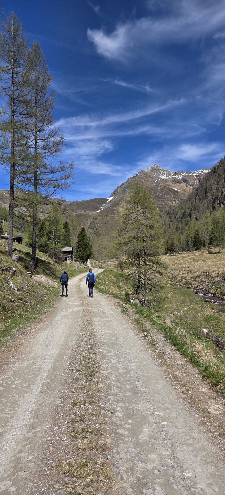
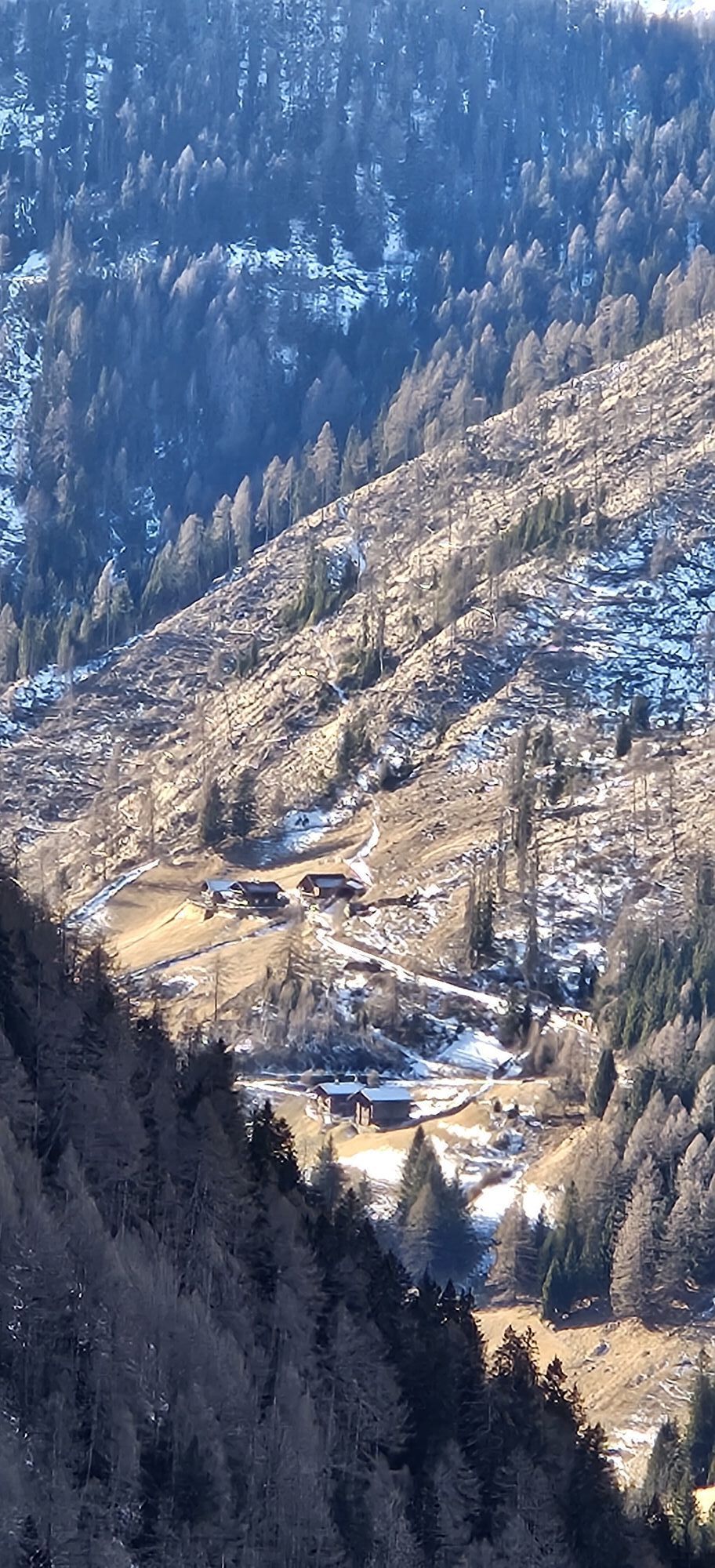
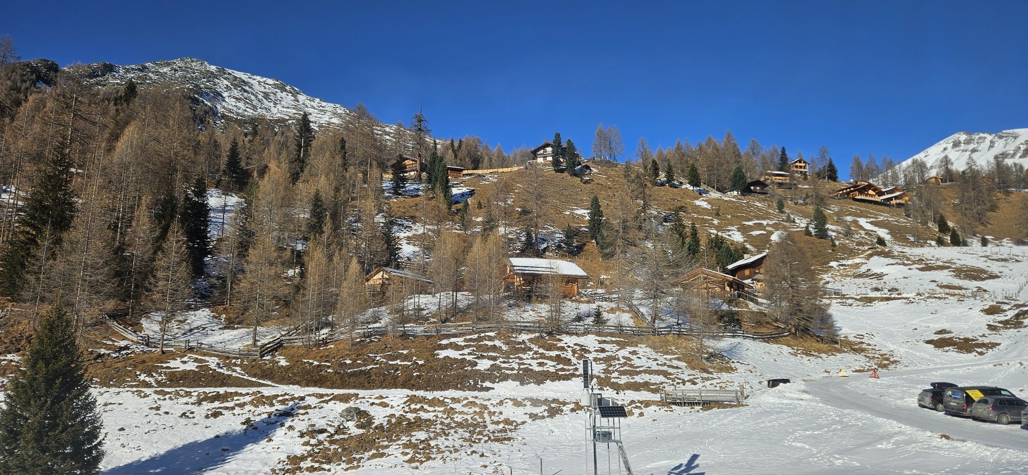
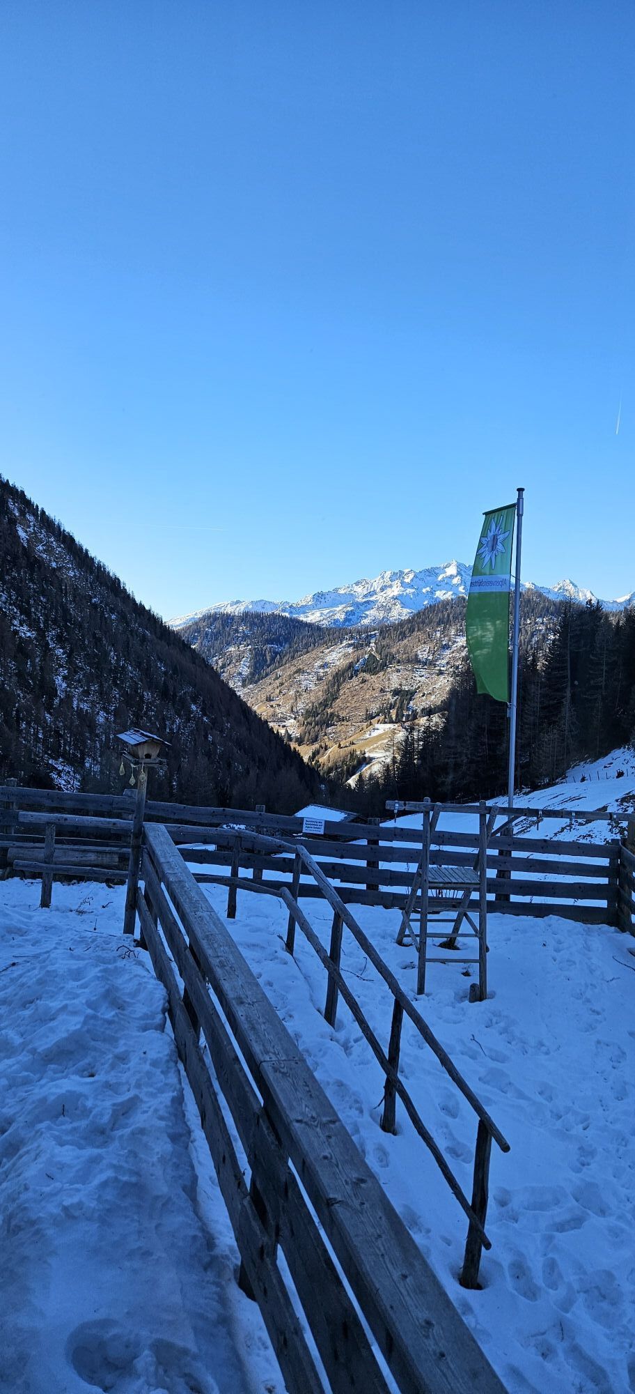
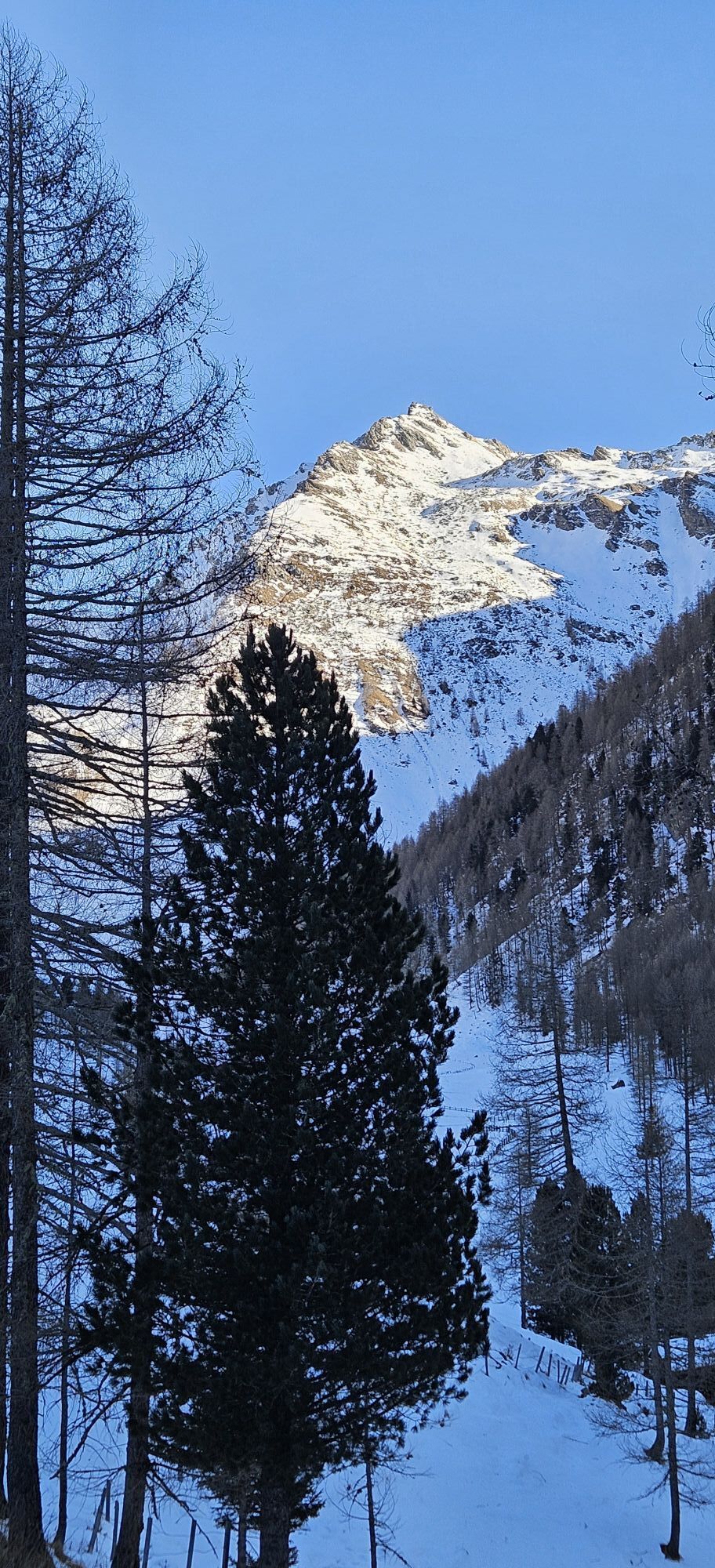
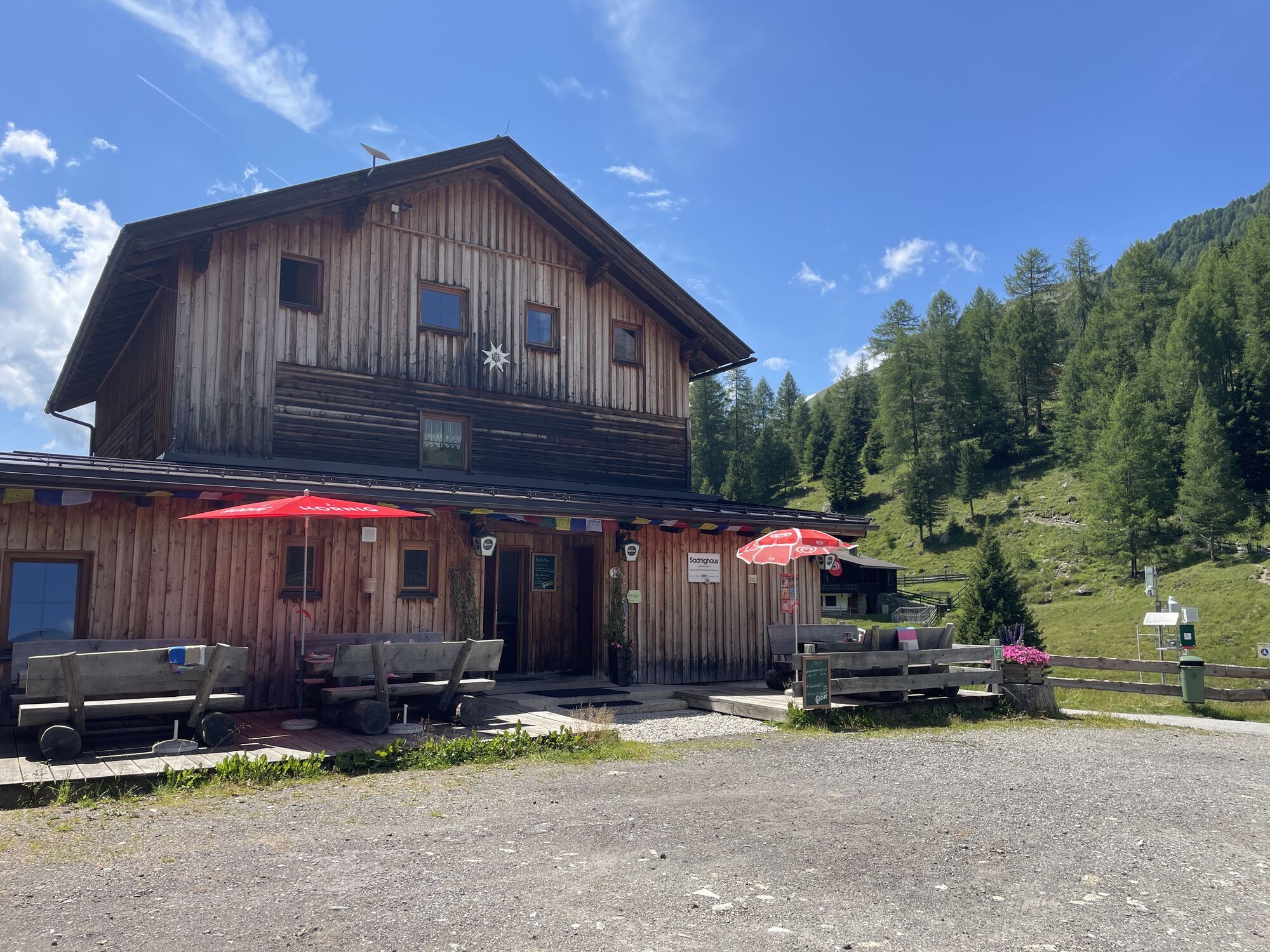

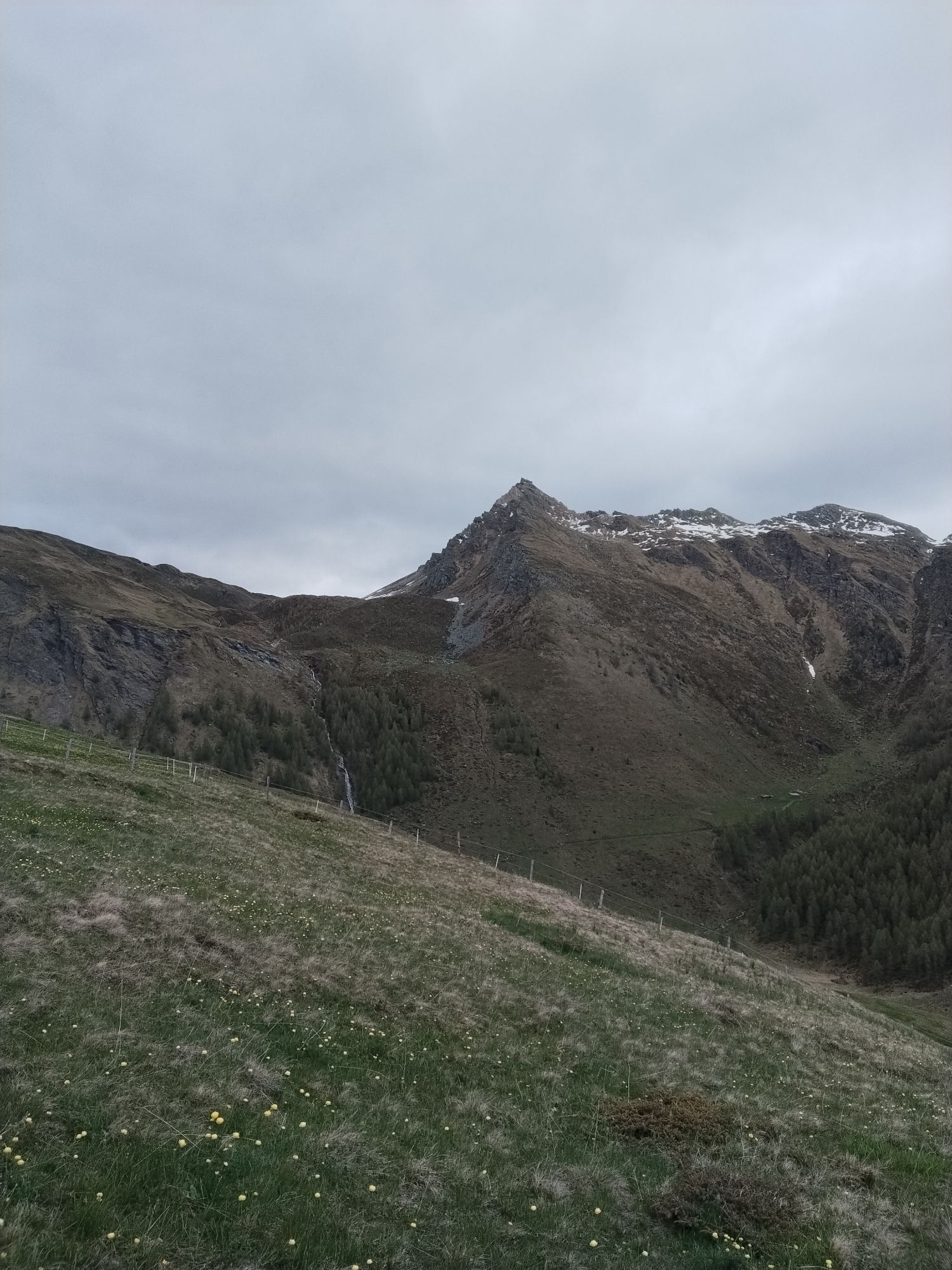
The Asten is an extraordinarily beautiful route area and offers a variety of easy and medium-difficulty routes. With the Sadnighaus of the OeAV, there is also an excellent accommodation with outstanding...
The Asten is an extraordinarily beautiful route area and offers a variety of easy and medium-difficulty routes. With the Sadnighaus of the OeAV, there is also an excellent accommodation with outstanding cuisine available for a multi-day stay!
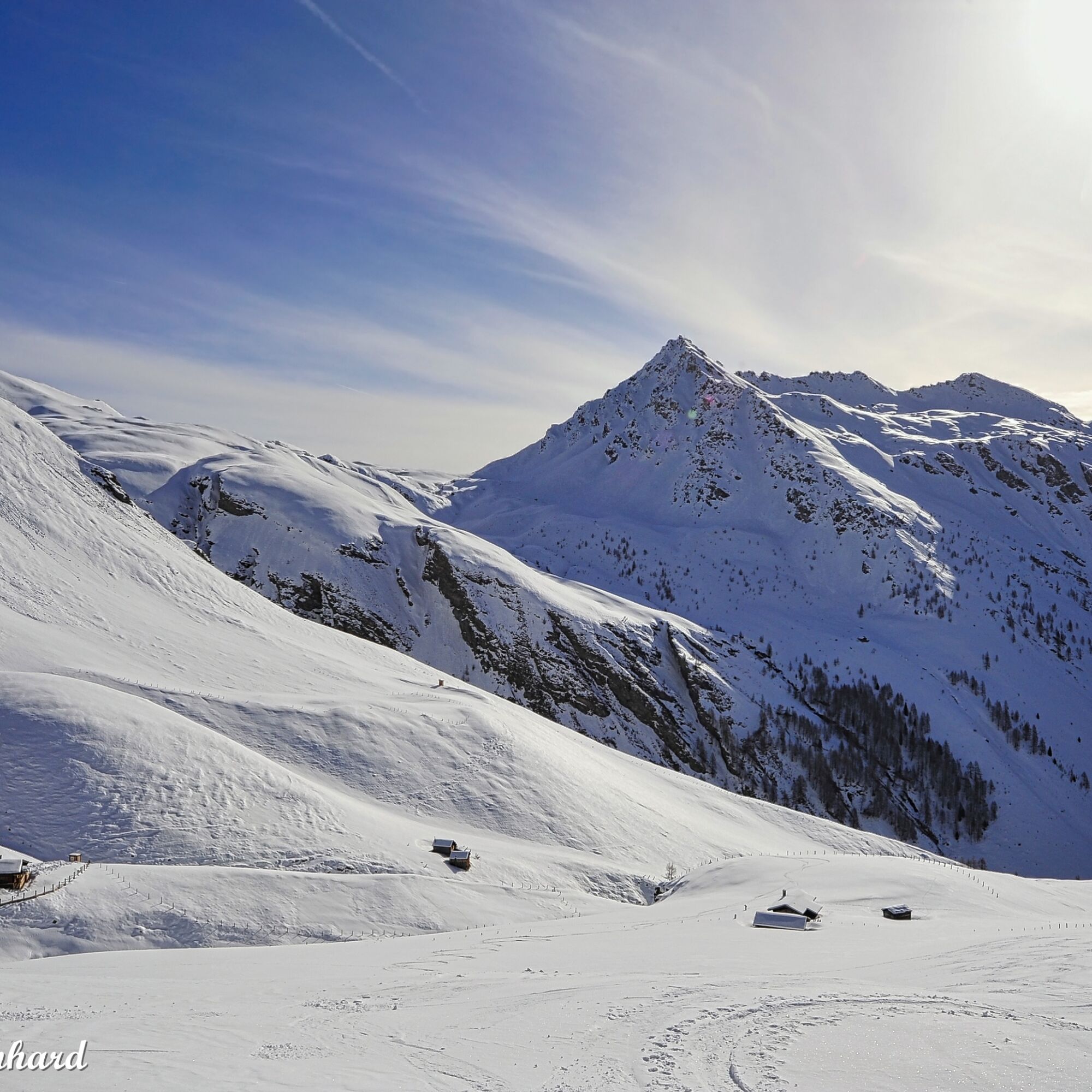
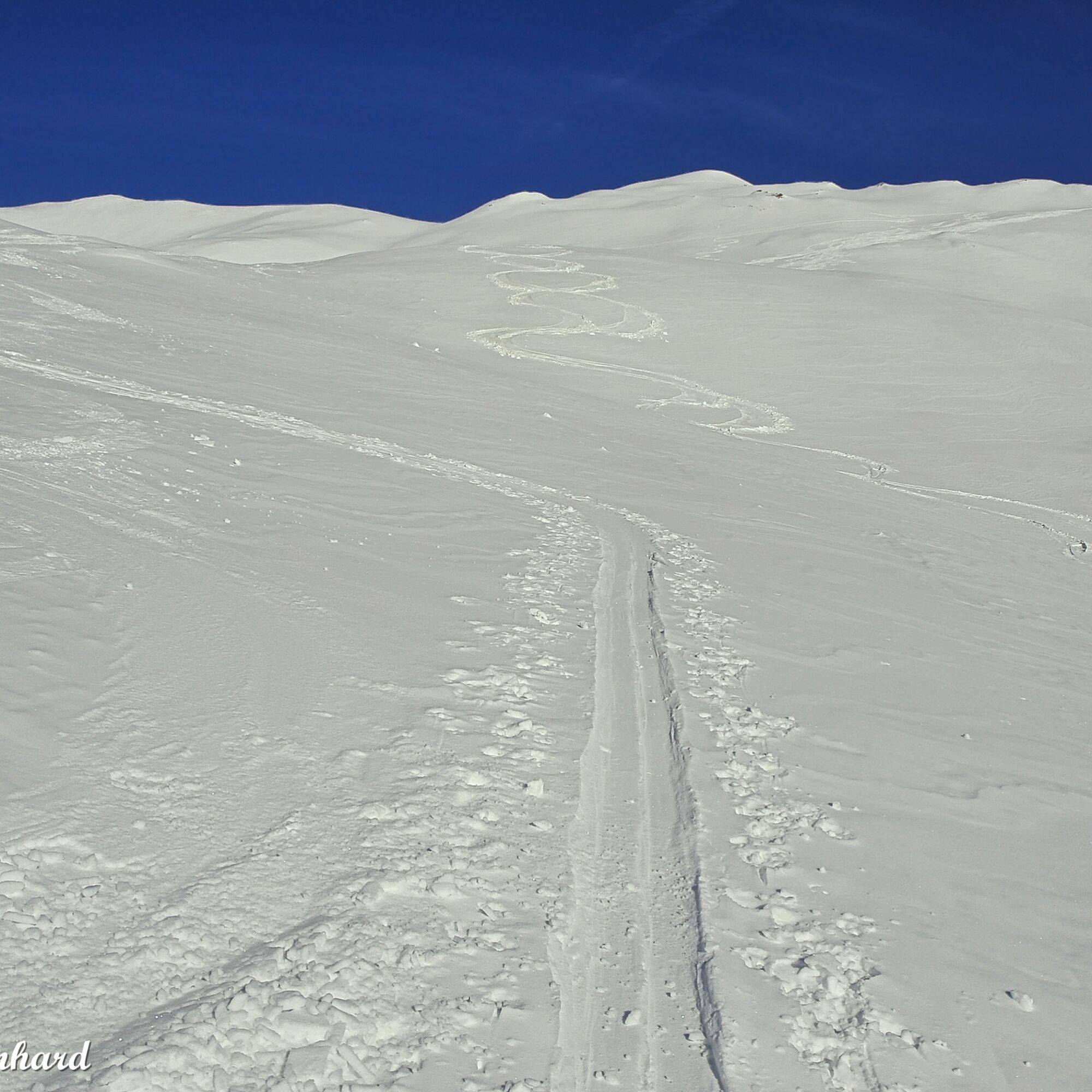
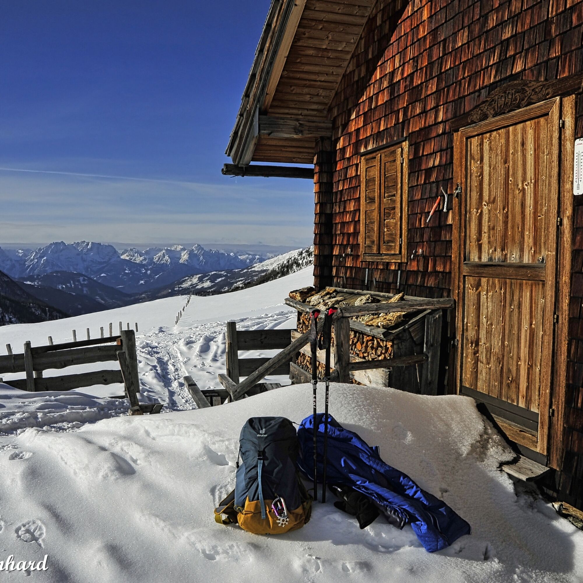
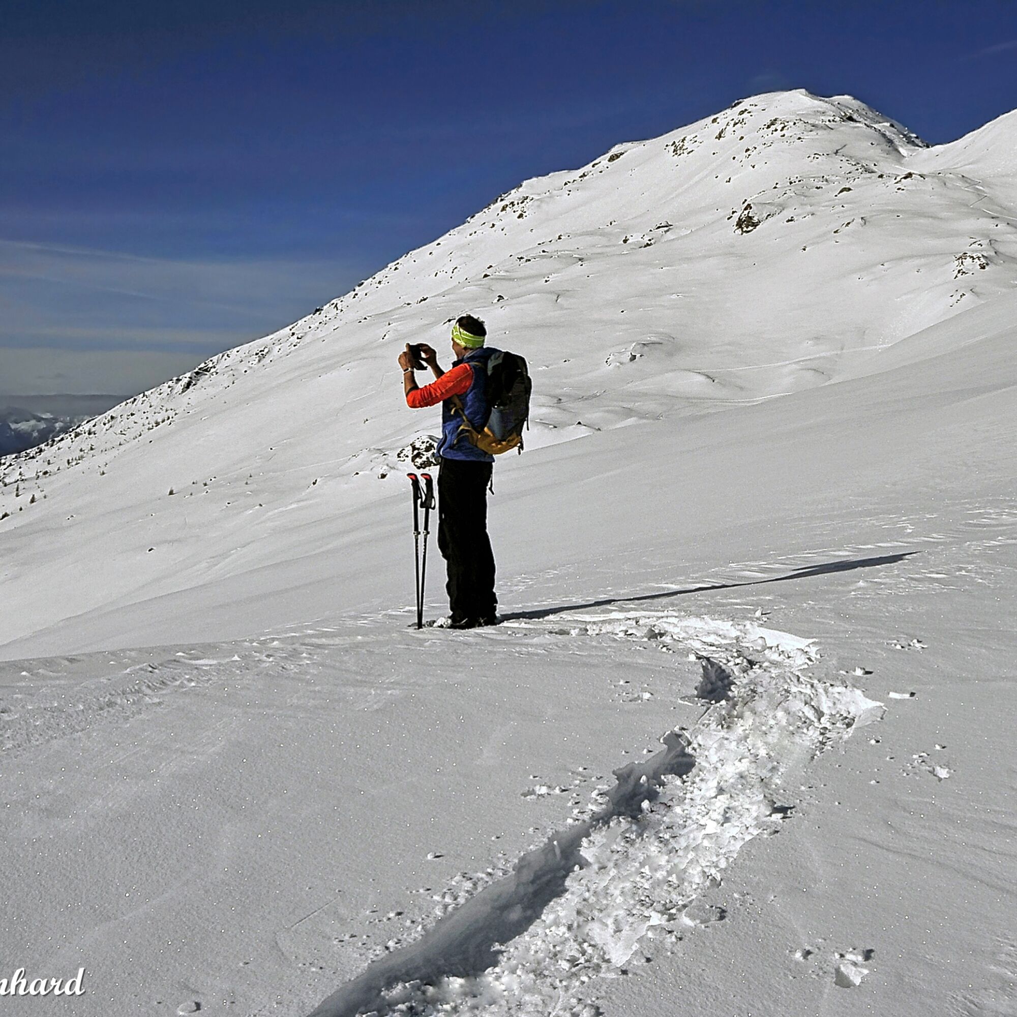
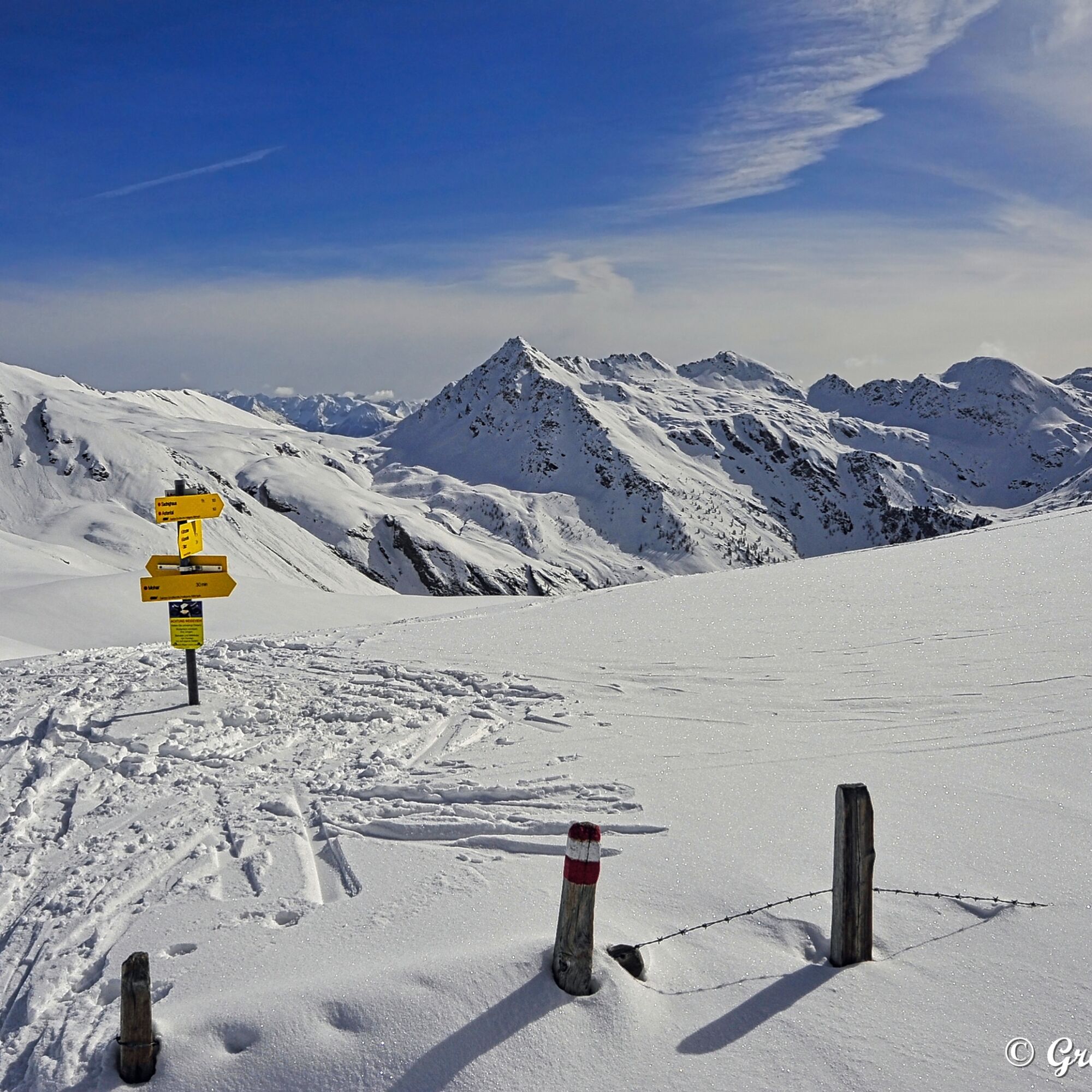
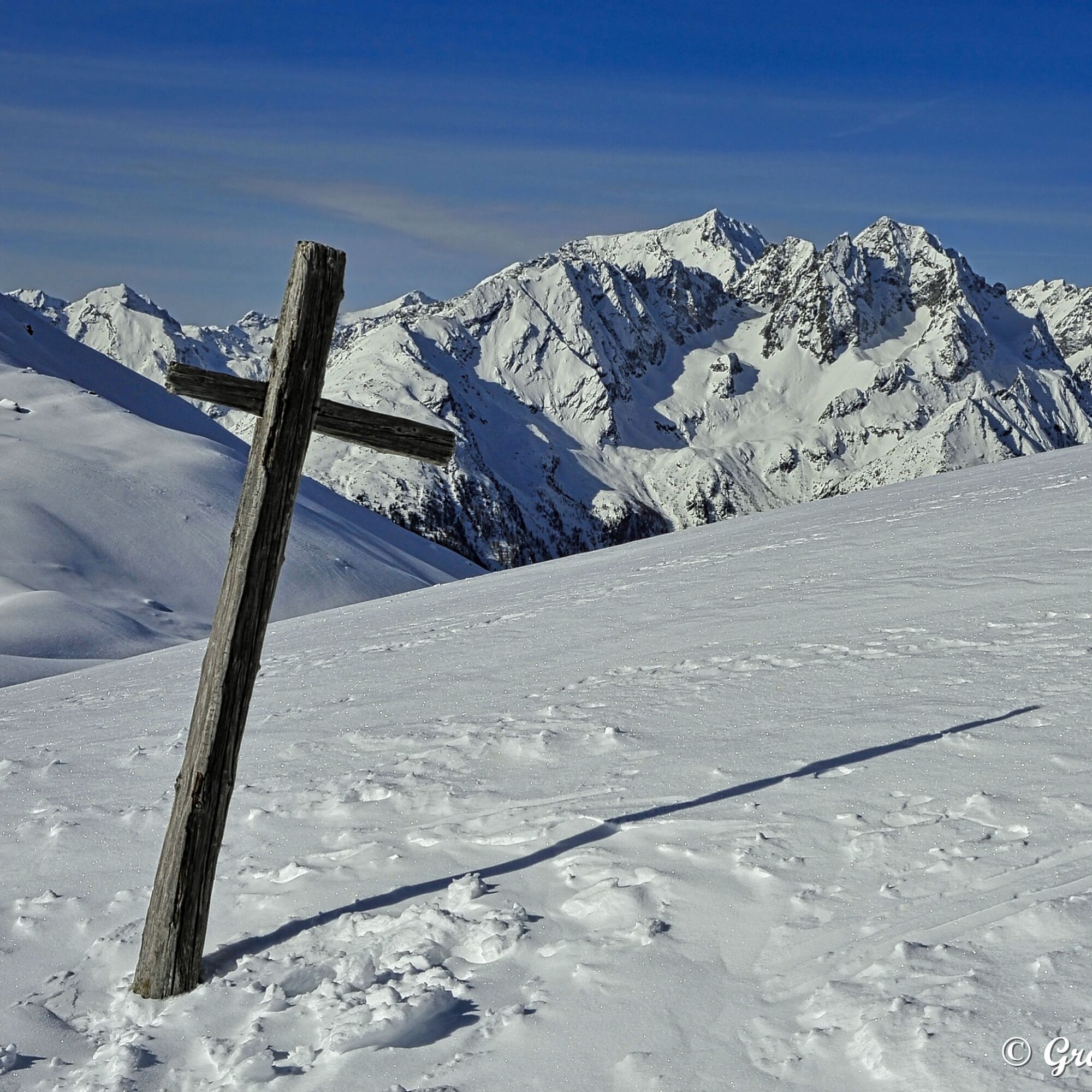
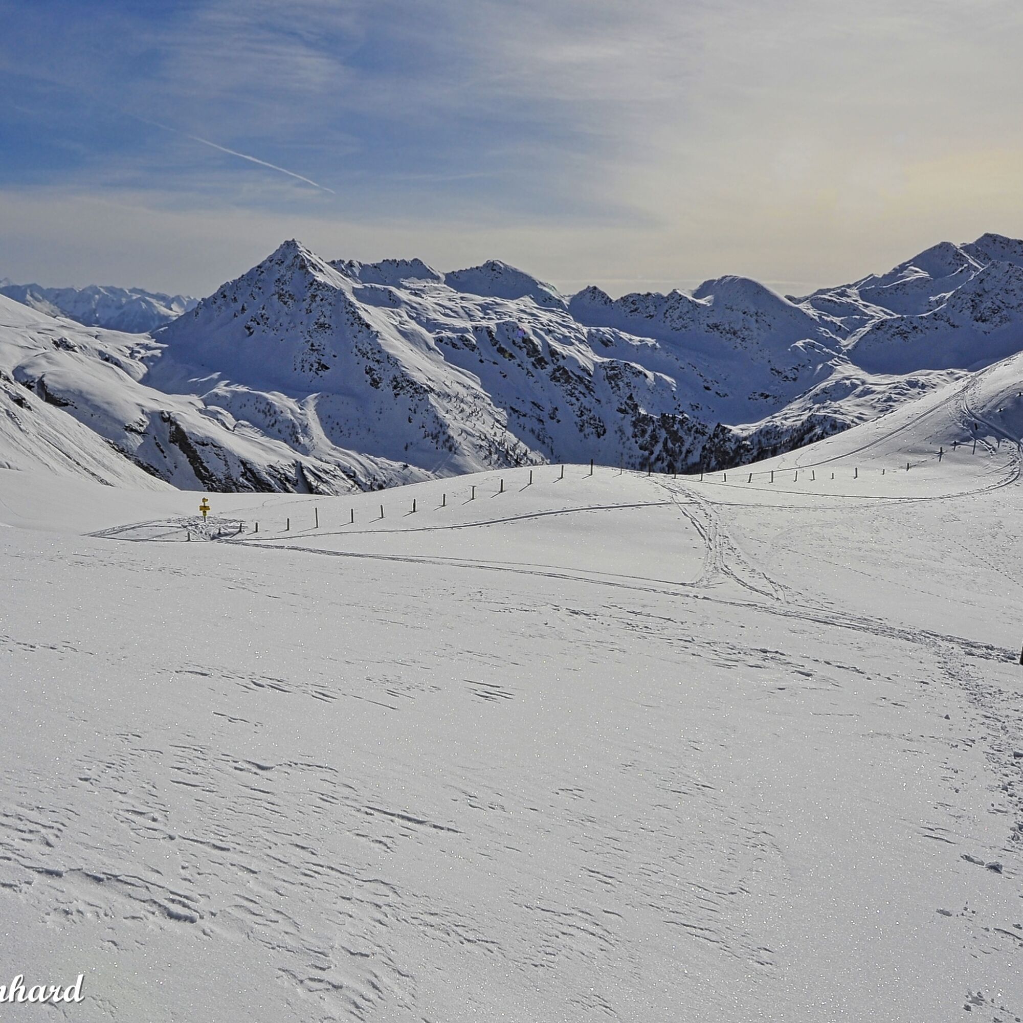
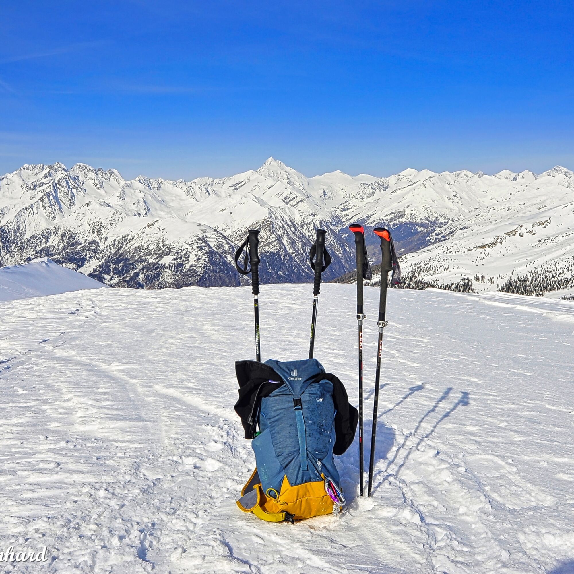
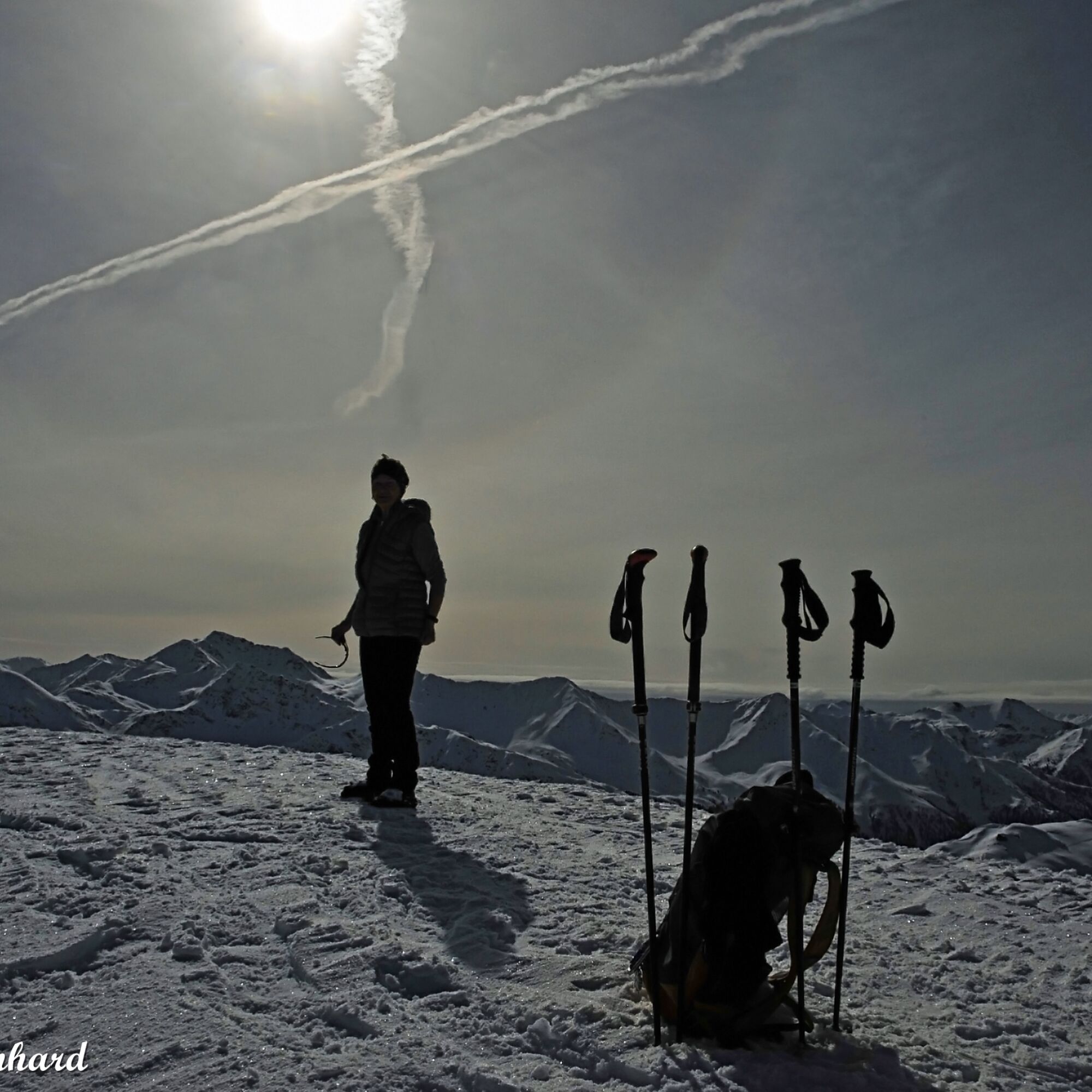
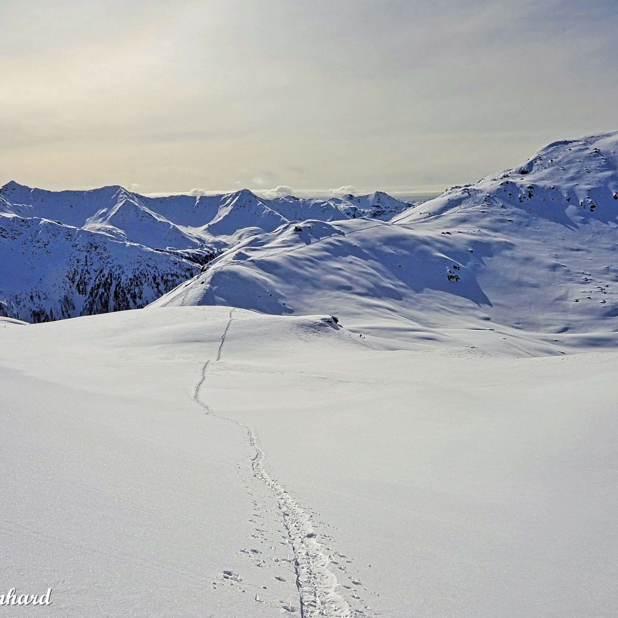
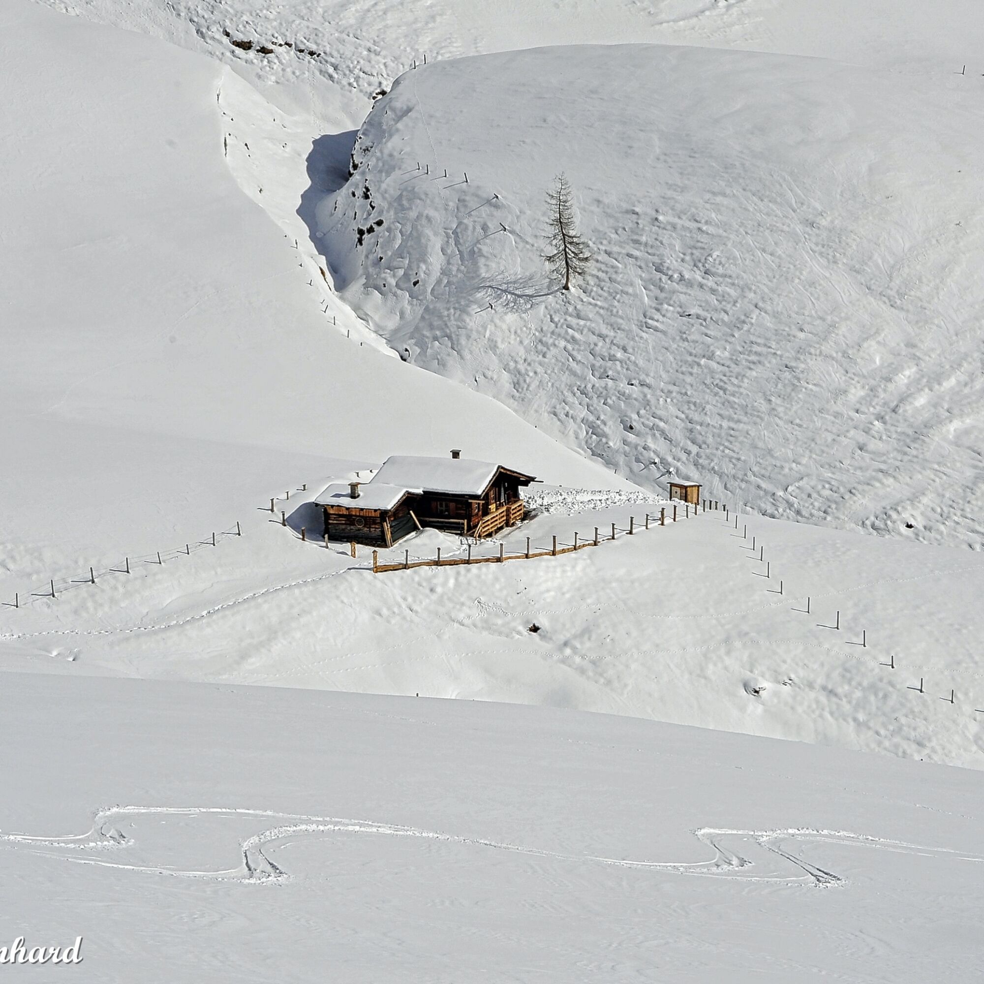

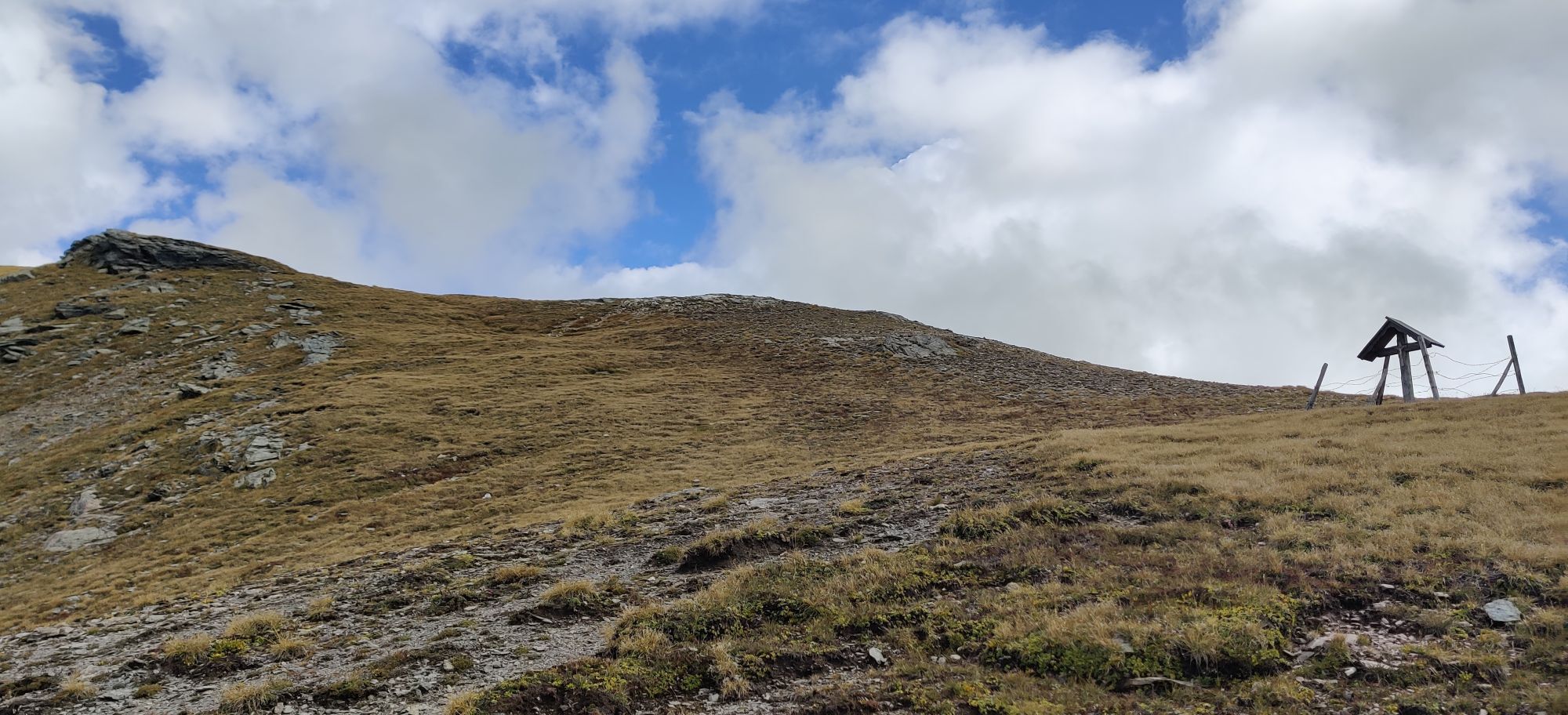
From the parking lot between Sadnighaus and Petersbrünnl, first along the alpine path uphill in a northeasterly direction. Where the path first reaches the open alpine meadows (after approx. 10 min), turn left. Now over beautiful alpine meadows first to the Gratzeralm, further to the Göritzertörl. Then right up the gently ascending ridge to the Kluidhöhe.
Tak
Via the B 107, the Großglockner federal road, to Mörtschach. From there along the 10 km long, usually well-cleared, road into the Astental valley to the parking lot at the end of the road near the Sadnighaus.
Parking lot directly at the Sadnighaus (1880 m)
Can also be done as a snowshoe route.
Uzyskaj wgląd
Zawsze na żywo z ponad 9 500 kamer internetowych. bergfex Jako użytkownik Pro, możesz teraz zobaczyć odpowiednie kamery internetowe dla wielu wycieczek w aplikacji wycieczki od. Pozwala to na bezpośredni podgląd aktualnych warunków.
Popularne wycieczki w okolicy
-
4,9
Wangennitzsee Hütte
średniWędrówka 3,80 km -
5,0
Silberpfennig, Salzburger Land/Österreich
średniWędrówka 13,8 km -
4,8
Hohe Sonnblick Up
ciężkiWędrówka 9,14 km -
4,0
Raggaschlucht
średniWędrówka 3,44 km -
4,5
Niedersachsenhaus
średniWędrówka 4,84 km -
4,9
Schareck über Ostgrat
ciężkiWycieczka wysokogórska 13,3 km -
4,2
Gradental to Adolf Nossberger Hut - circular route
średniWędrówka 11,1 km -
4,8
Rifflscharte - Kolmkarscharte - Bockhartscharte - Sportgastein
średniWędrówka 13,5 km -
4,2
Straßkopf
średniWędrówka 4,06 km -
4,8
Hike to the Wangenitzsee Hut
średniWędrówka 13,9 km
Wędrówki i tropienie


Nie przegap ofert i inspiracji na następne wakacje
Twój adres e-mail została dodana do listy mailingowej.





