






Sadnig (2,745 m) via Fraganter Schutzhaus and Kleiner Sadnig
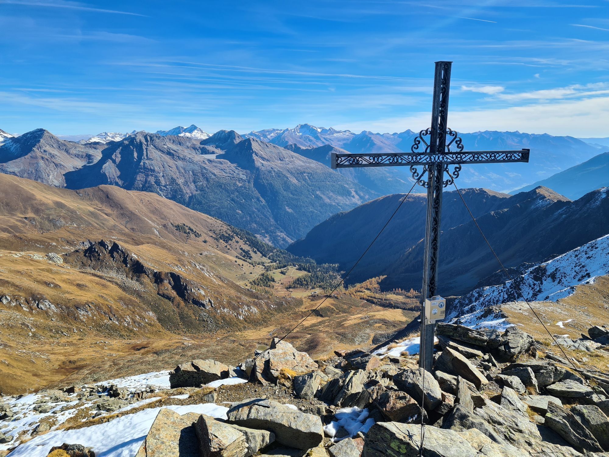
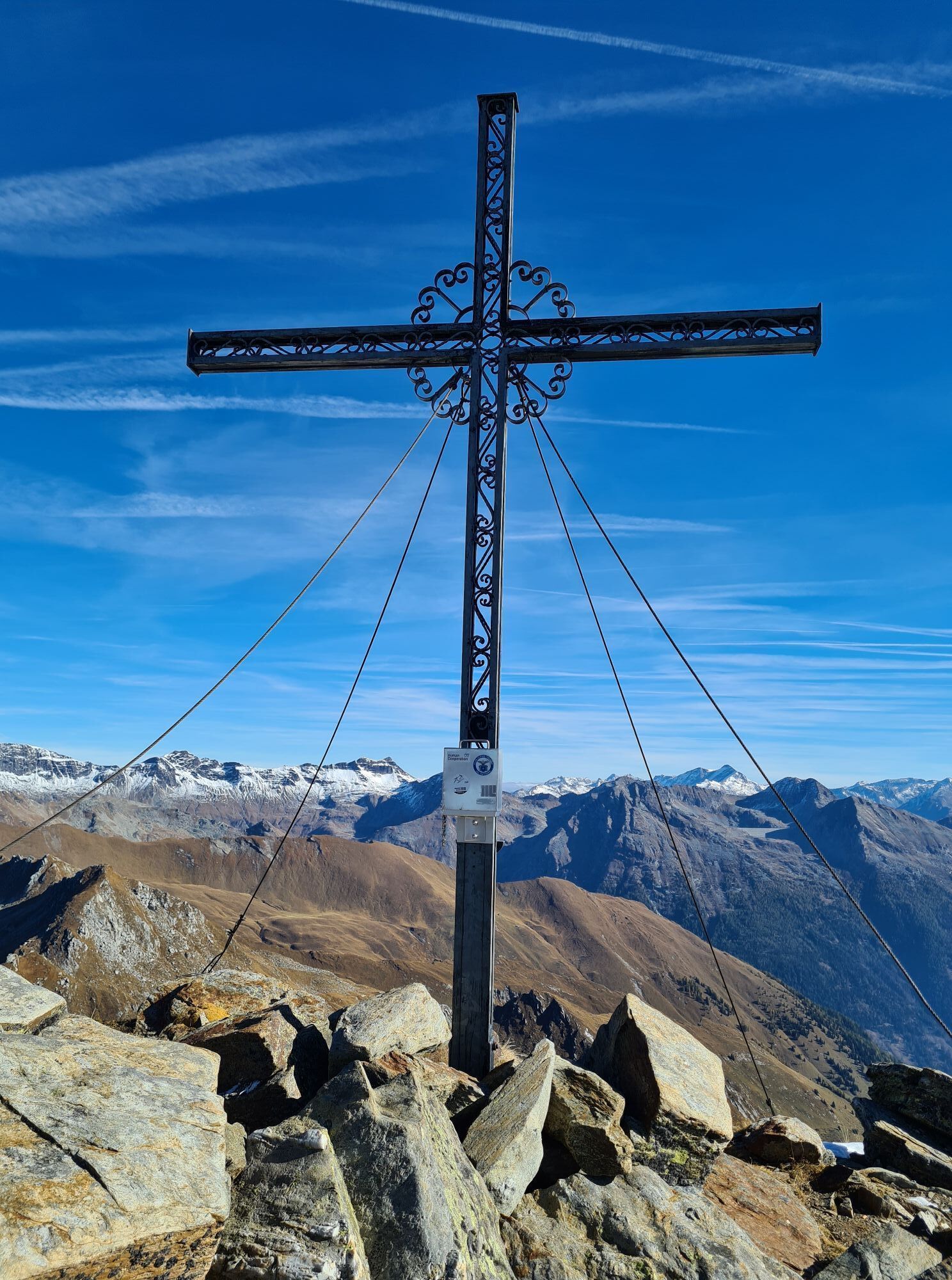
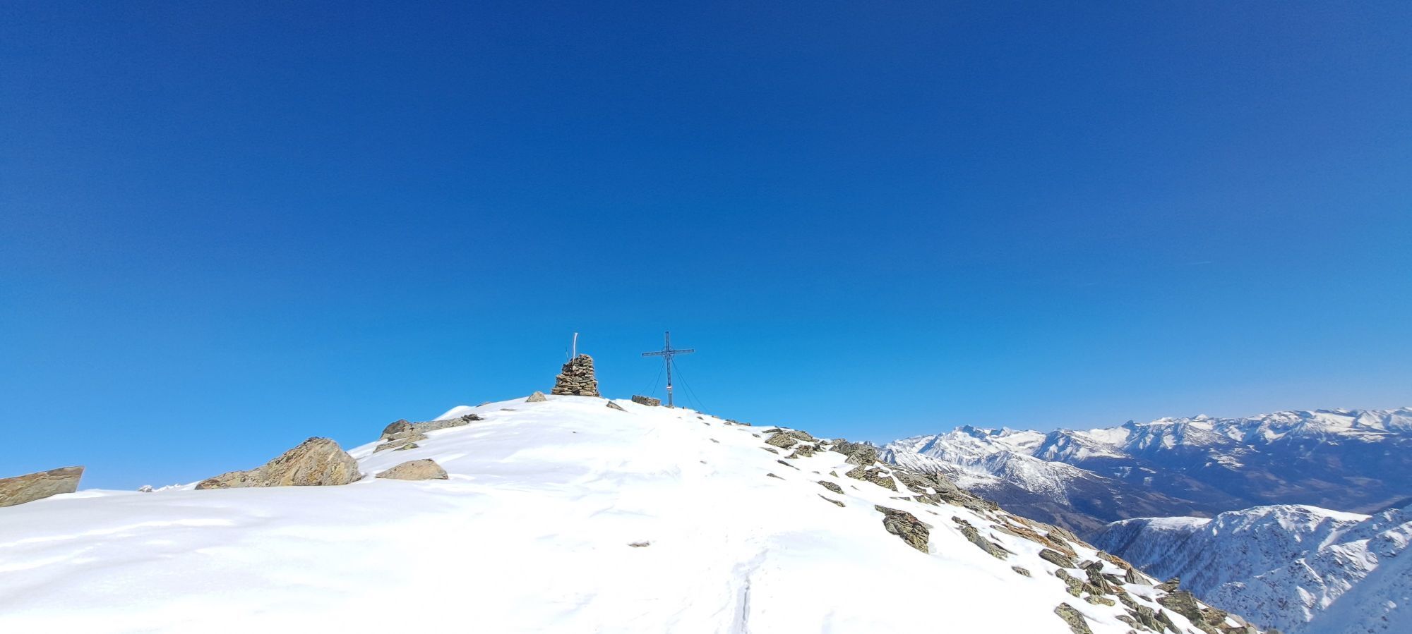
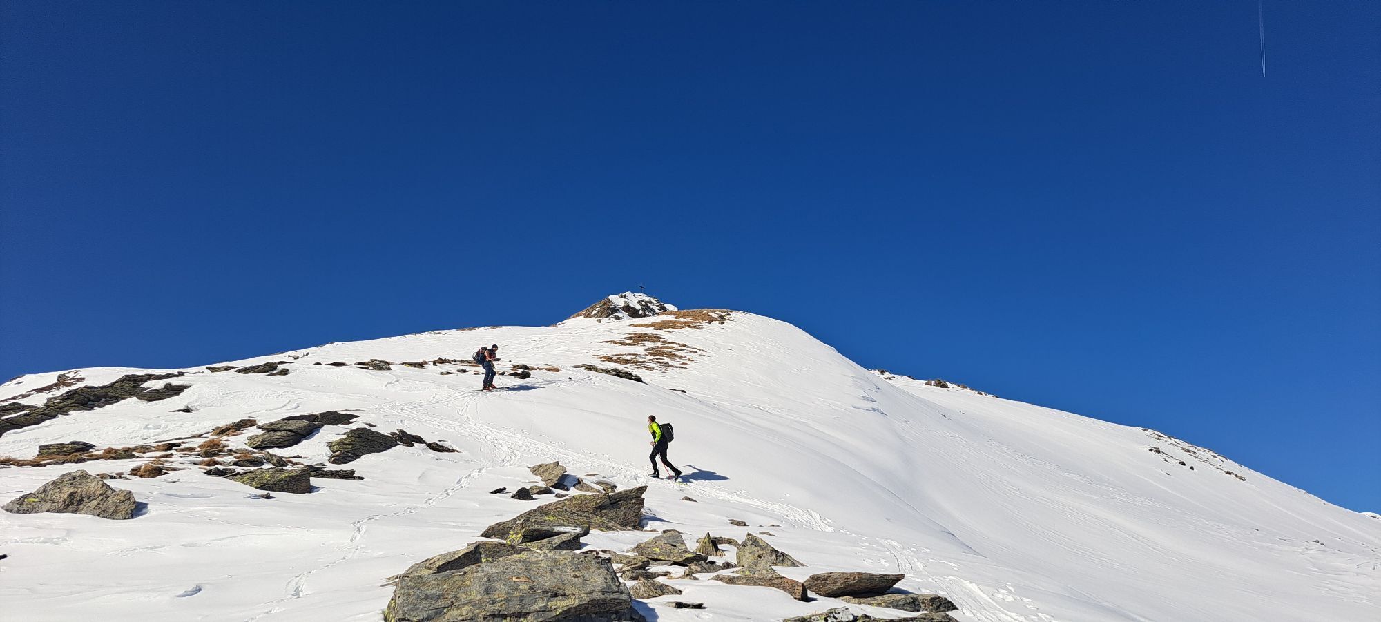
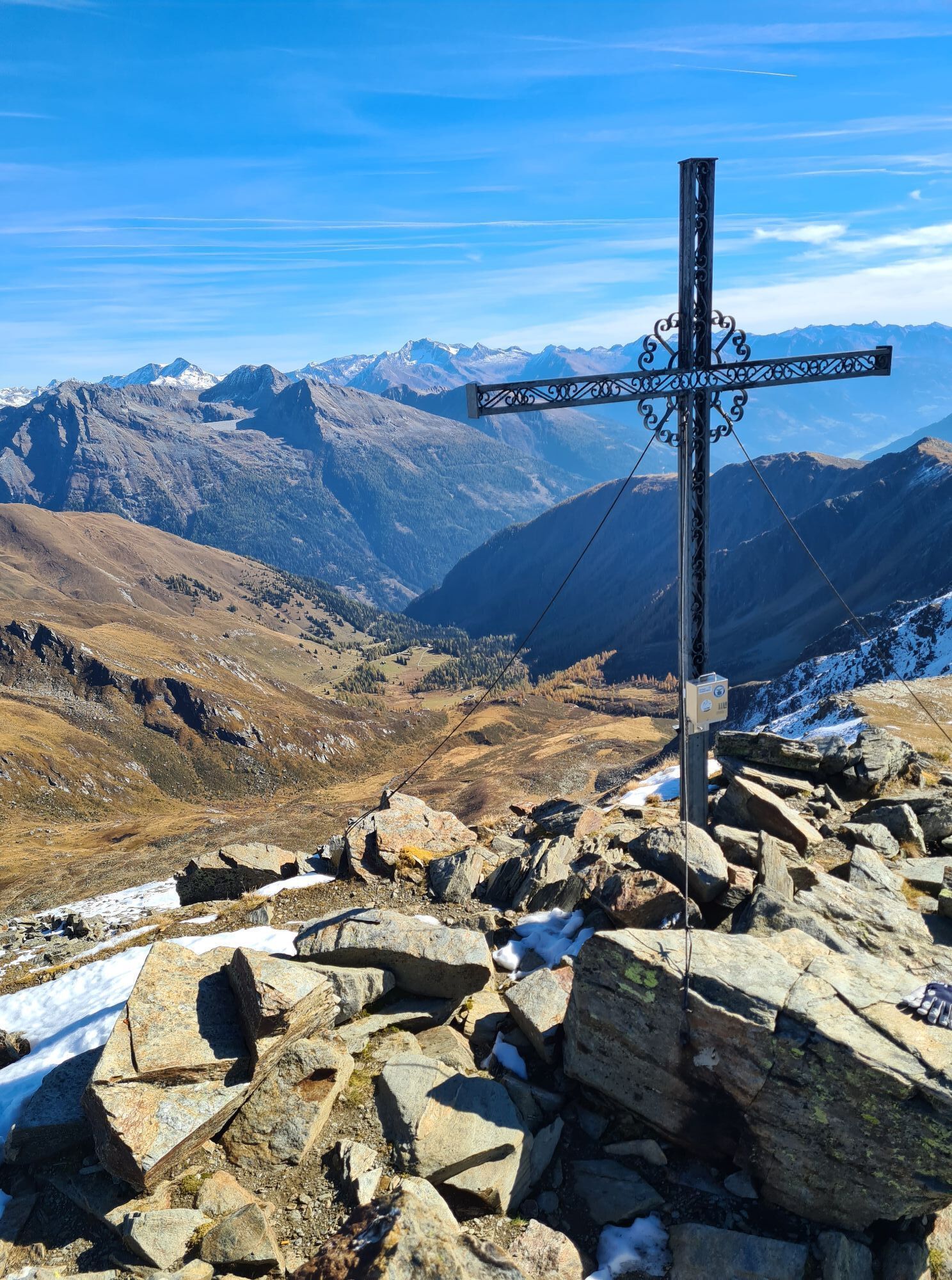
Nice, varied route to reach the highest summit in the area, but most end the ascent at Kleiner Sadnig (2,626 m) to descend back into the Powder Col. This often offers the opportunity in spring to ski the...
Nice, varied route to reach the highest summit in the area, but most end the ascent at Kleiner Sadnig (2,626 m) to descend back into the Powder Col. This often offers the opportunity in spring to ski the firn below Kleiner Sadnig and then enjoy the powder in the Powder Col.
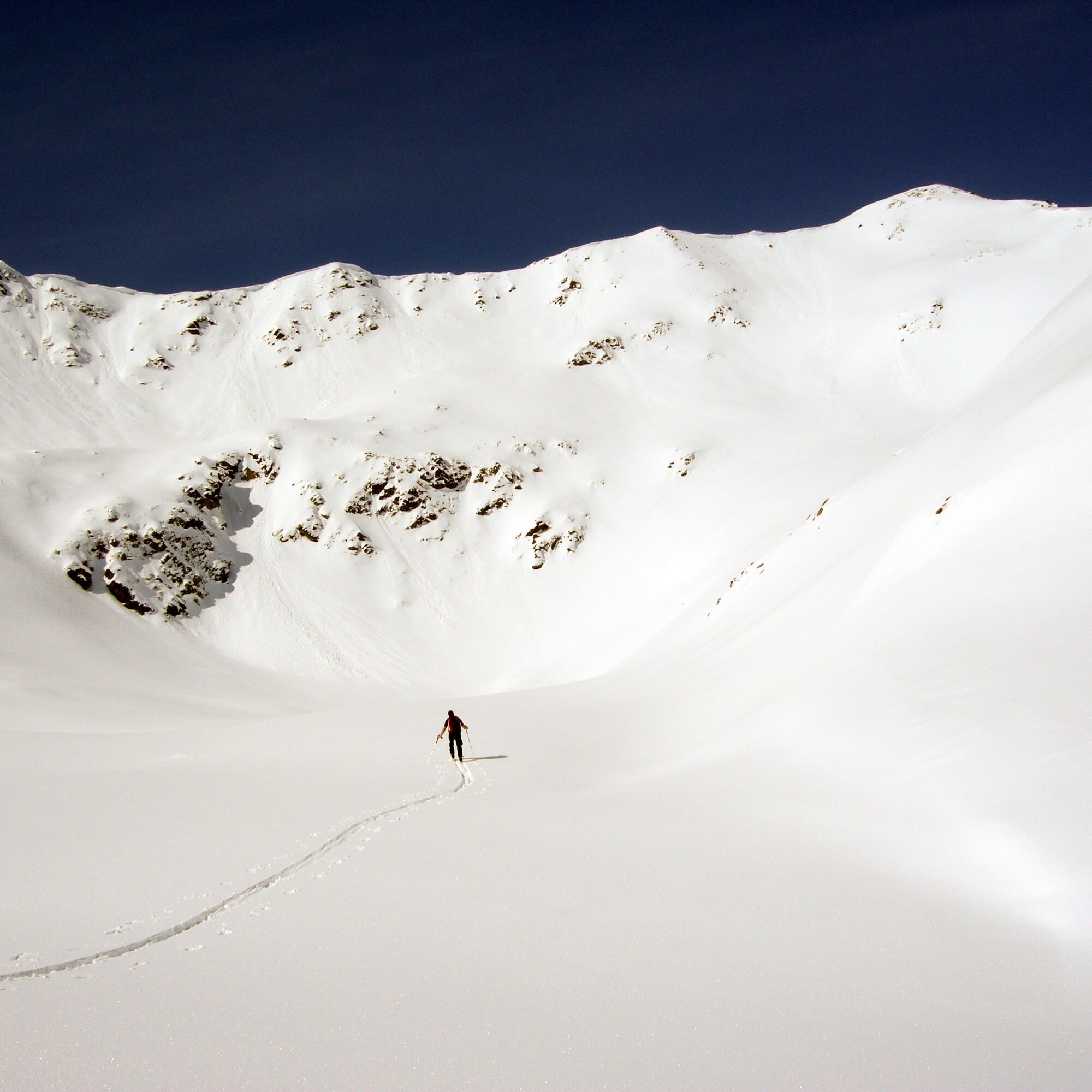
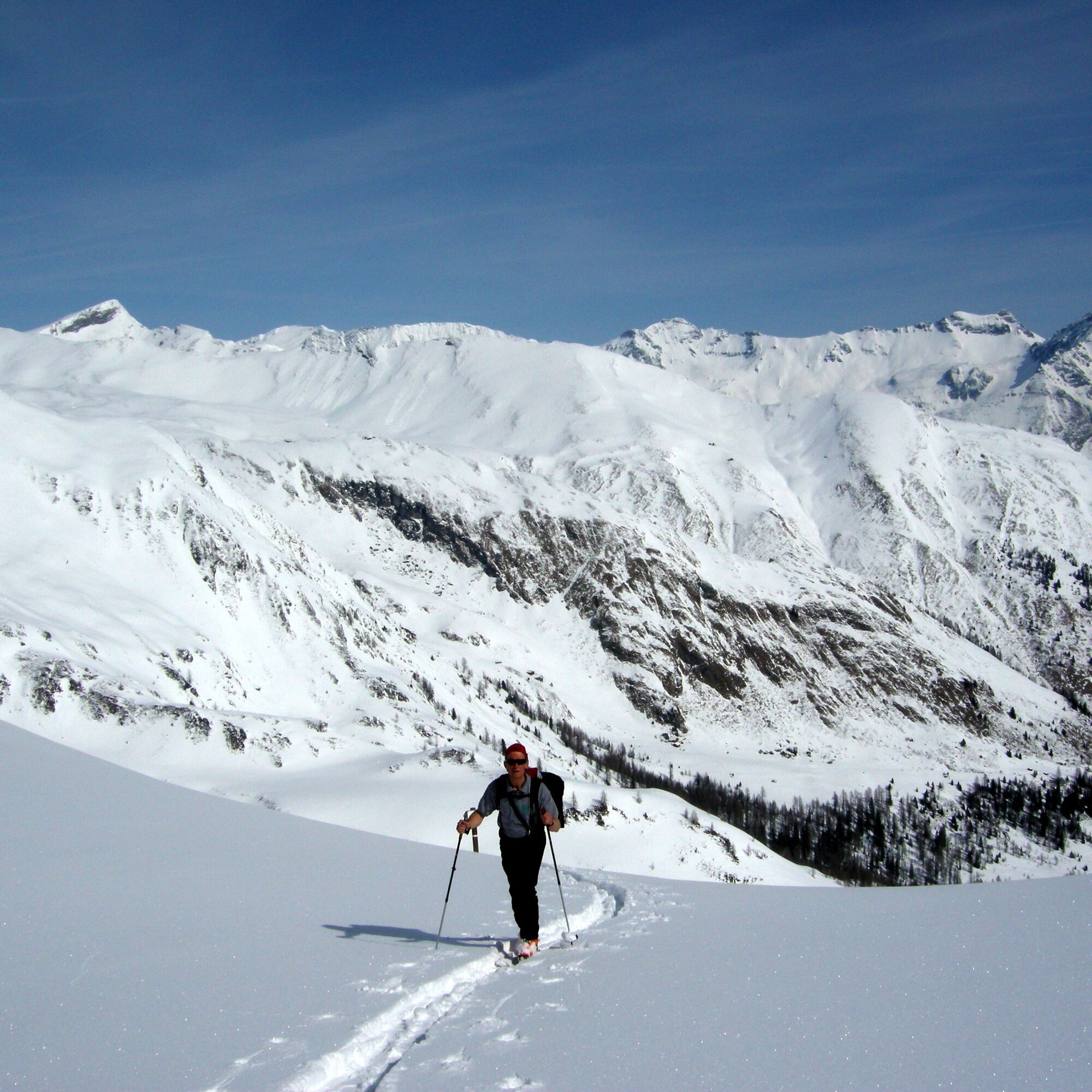
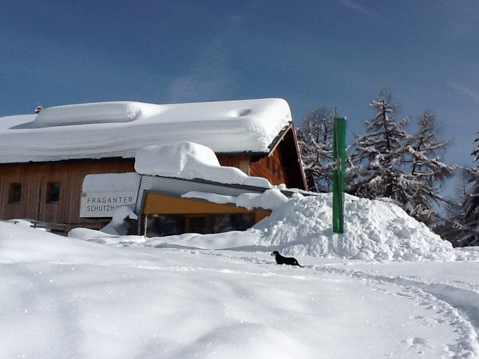
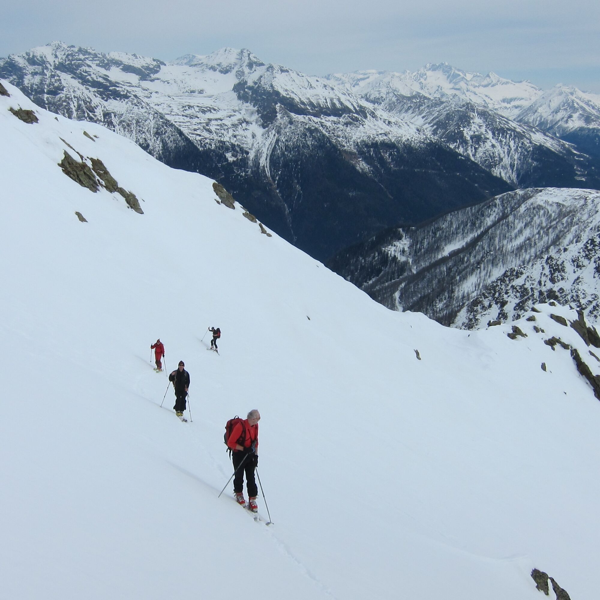
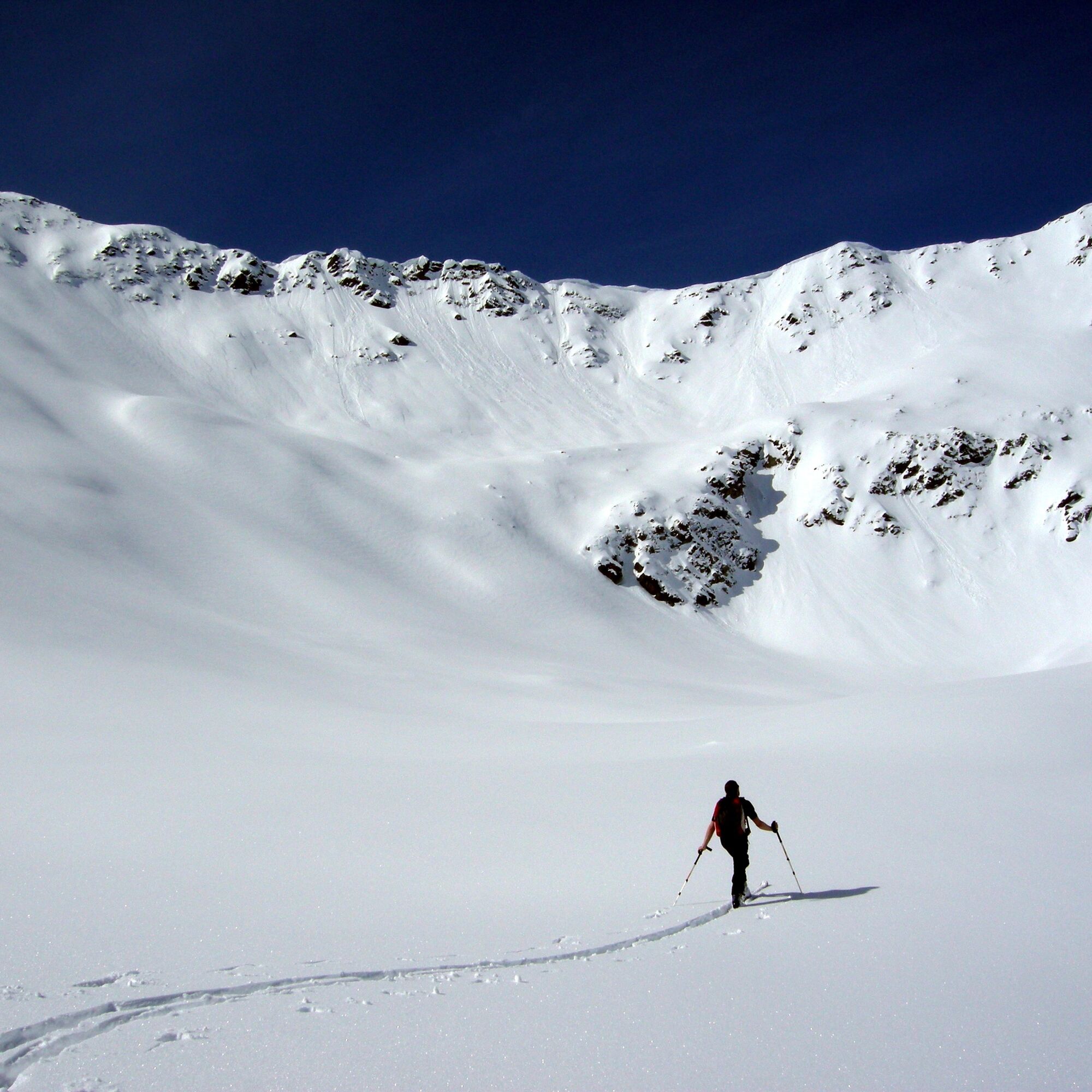

Ascent: From the parking lot over the bridge, immediately left, then follow the signs and markings over forest roads and pull paths towards Fraganter Schutzhaus, 750 m elevation gain, approx. 2 h.
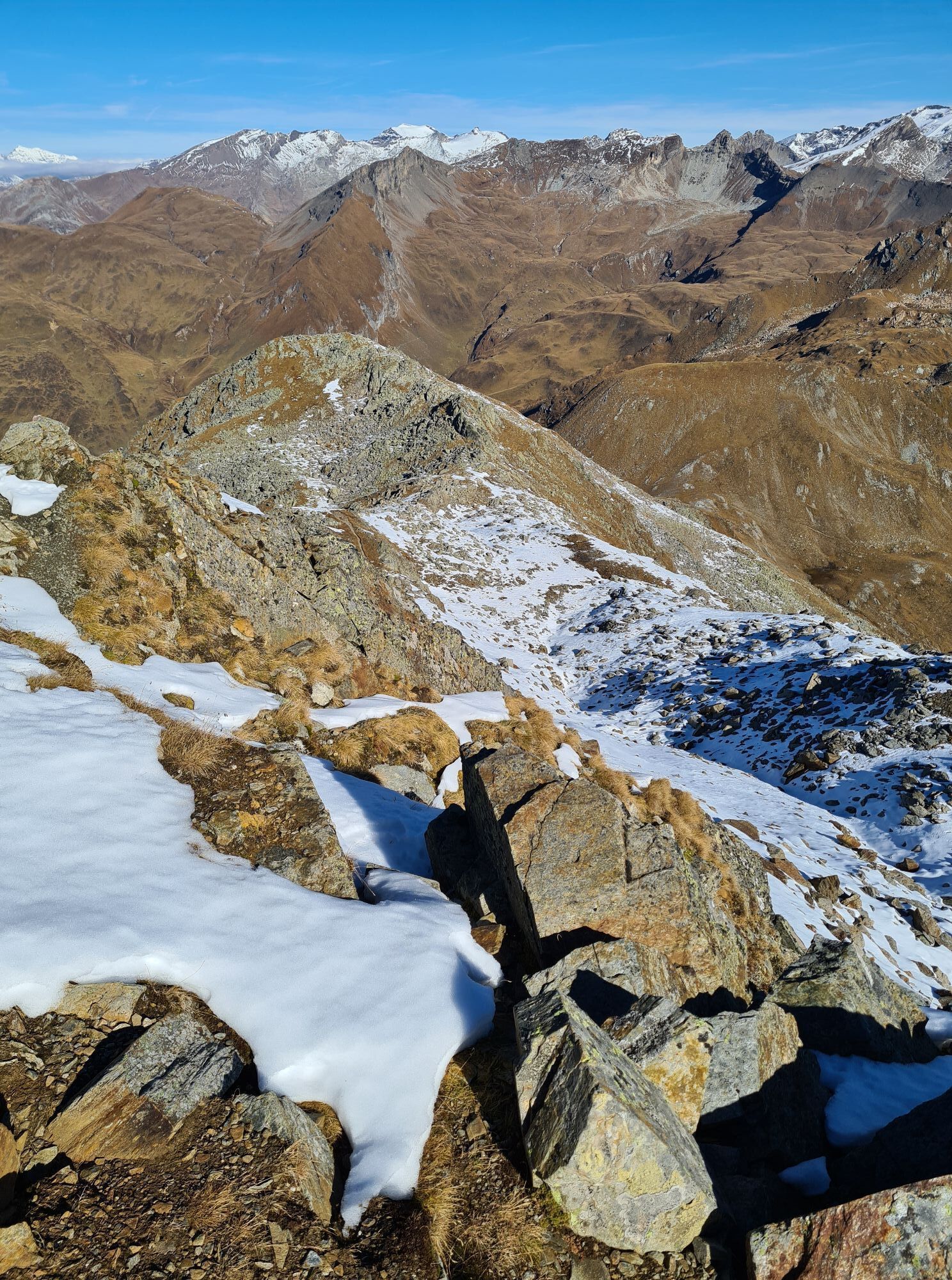
From the hut, briefly go down the forest road, leave the road at the first curve and ascend over open, flat terrain towards the visible huts, cross a stream once, climb left behind the hut until you meet the summer trail markings. Follow these through sparse larch forest, past a signpost towards a stream, soon cross it and now continuously steeper up the larch slope; we are still on the summer trail. In the upper part of the larch slope, it is best not to follow the hairpin bends straight up but continue slightly ascending to the left until you leave the forest. Now ascend gently rising terrain towards the clearly visible Powder Col. The slope of Powder Col is best tackled with a few generously laid hairpin bends and at the end go right past the rocks. After the rocks, go straight up and you reach the basin below the Kleiner Sadnig. At the end of this, climb the steep slope and either soon right onto the ridge or directly to the summit. Pay attention to safe conditions on both variants!!! From Kleiner Sadnig descend briefly and follow the prominent ridge towards the main summit.
Descent: Either into the Sadnig notch and via the Mellenböden to the hut, or directly down the north flank (only with secure conditions and careful route study in advance), or back from Kleiner Sadnig as ascent.
Tak
Standard ski touring and avalanche beacon equipment
Only in secure conditions, beware of wind slab layers after fresh snow or wet snow avalanches during warming below Kleiner Sadnig
From Spittal an der Drau or Winklern through the Mölltal to Flattach. From there north towards Mölltaler Gletscher to the entrance of Innerfragant. Park right in front of the bridge at the entrance.
Parking lot (1,060 m) at the entrance to Innerfragant, right in front of the bridge (not by the garbage bins!)
Respect your limits! 5 rules for responsible snowshoe or ski touring:
Where available, stay on marked routes; observe information boards as well as protected, conservation, and closed areas. Respect wildlife: avoid feeding areas and immediately and quietly retreat if you spot wildlife. Avoid young tree cultures (under three meters); ski edges can cause significant damage to trees. Do not leave any waste behind. Avoid noise.Important for ski touring: Prohibition of skiing on young forest and reforestation areas
Due to the not very interesting ski-technical hut ascent and the cozy Fraganter Schutzhaus, it is recommended to stay overnight at the hut and undertake several ski tours in the beautiful ski touring area.
 Uzyskaj wgląd
Zawsze na żywo z ponad 9 500 kamer internetowych. bergfex Jako użytkownik Pro, możesz teraz zobaczyć odpowiednie kamery internetowe dla wielu wycieczek w aplikacji wycieczki od. Pozwala to na bezpośredni podgląd aktualnych warunków.
Uzyskaj wgląd
Zawsze na żywo z ponad 9 500 kamer internetowych. bergfex Jako użytkownik Pro, możesz teraz zobaczyć odpowiednie kamery internetowe dla wielu wycieczek w aplikacji wycieczki od. Pozwala to na bezpośredni podgląd aktualnych warunków.


Popularne wycieczki w okolicy
-
4,7
Hohe Sonnblick Up
ciężkiWędrówka 9,14 km -
5,0
Silberpfennig, Salzburger Land/Österreich
średniWędrówka 13,8 km -
4,5
Niedersachsenhaus
średniWędrówka 4,84 km -
3,9
Raggaschlucht
średniWędrówka 3,44 km -
4,4
Groppenstein Gorge Obervellach
średniWędrówka 2,99 km -
5,0
Rifflscharte - Kolmkarscharte - Bockhartscharte - Sportgastein
średniWędrówka 13,5 km -
4,9
Schareck über Ostgrat
ciężkiWycieczka wysokogórska 13,3 km -
4,6
Vorderer Geißelkopf
średniWycieczka wysokogórska 19,1 km -
5,0
Hagener Hütte am Mallnitzer Tauern
światłoWędrówka 11,9 km -
4,8
Hoher Sonnblick Skitour über den Südgrat
ciężkiWycieczka narciarska 5,49 km

Wędrówki i tropienie


Nie przegap ofert i inspiracji na następne wakacje
Twój adres e-mail została dodana do listy mailingowej.





