


Hochosterwitz tour
Poziom trudności: 2
Pleasant bike route from Stift St. Georgen via Fiming and Reipersdorf past Hochosterwitz Castle, continuing to St. Martin, Polling and Weindorf to the Wolschart Forest. Via Drasendorf you return to Stift...
Pleasant bike route from Stift St. Georgen via Fiming and Reipersdorf past Hochosterwitz Castle, continuing to St. Martin, Polling and Weindorf to the Wolschart Forest. Via Drasendorf you return to Stift St. Georgen.
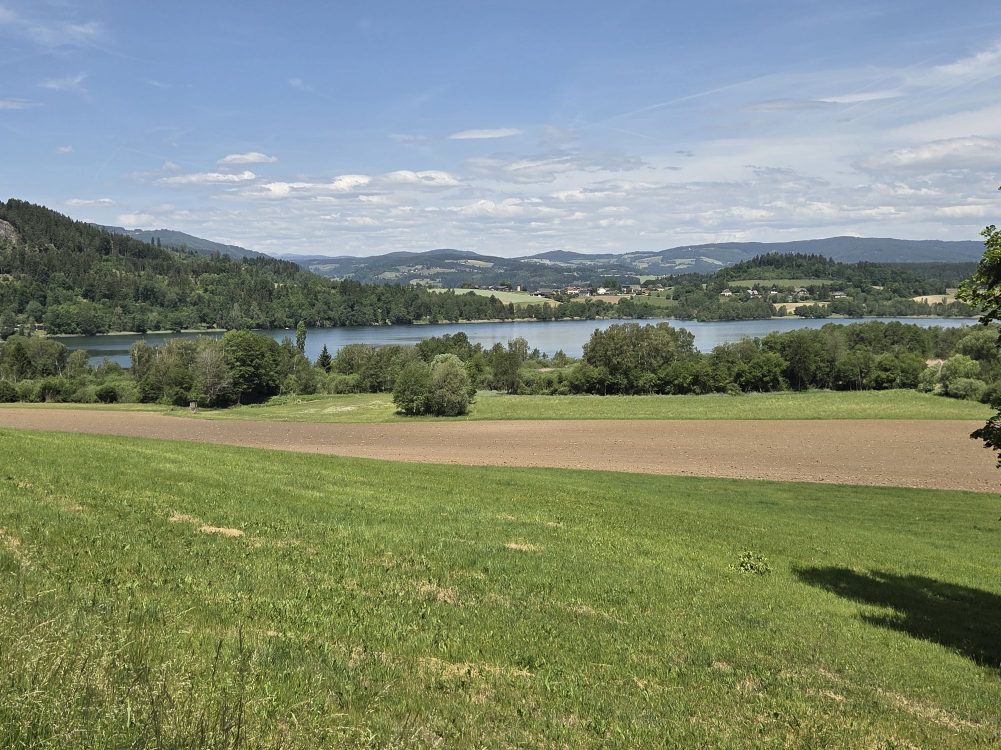
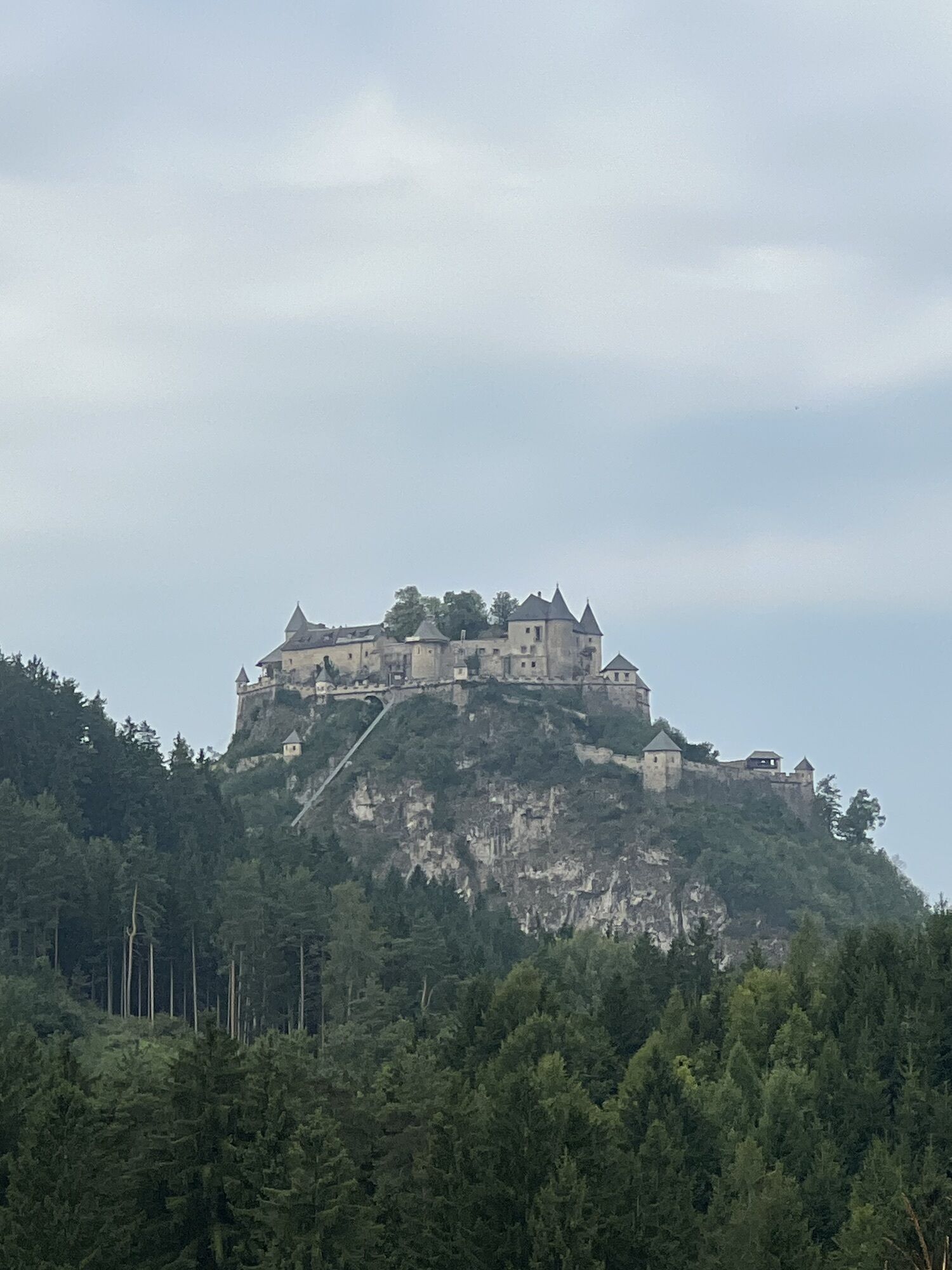
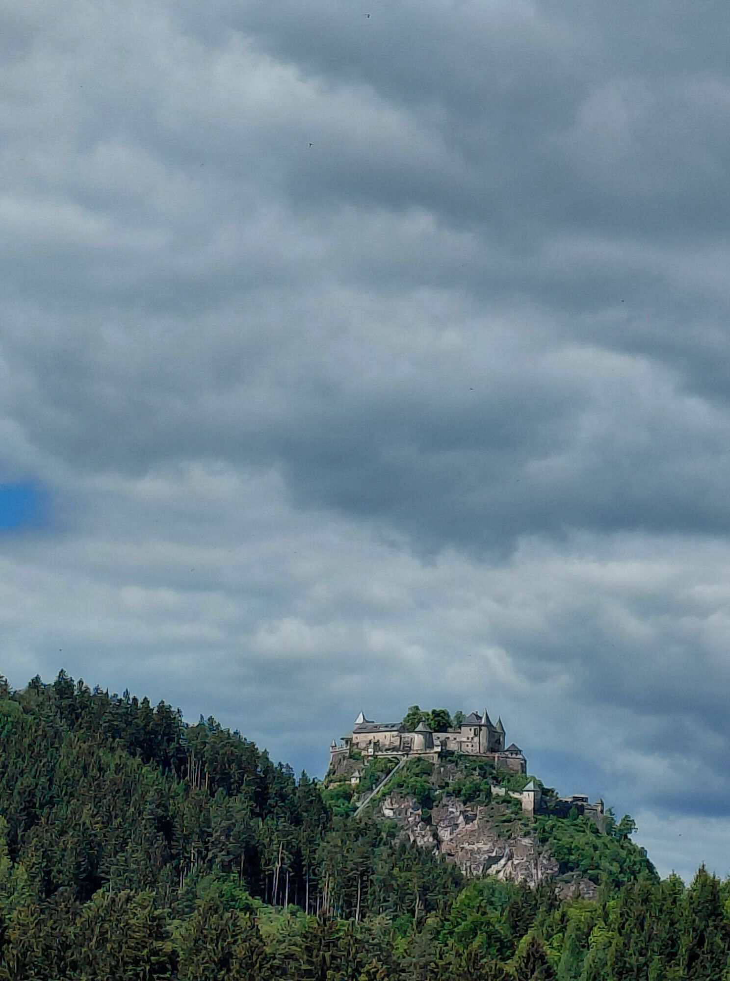
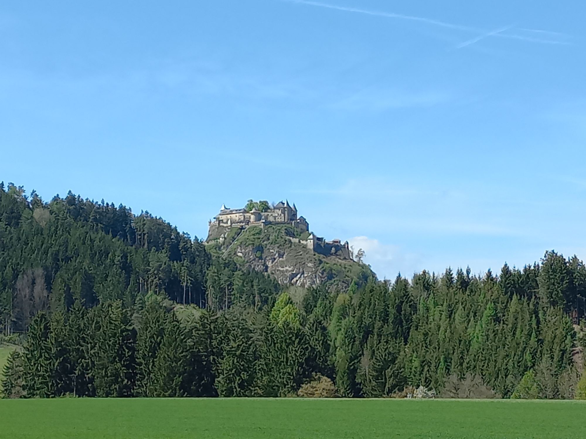
On the bike route, you get very close to Carinthia's secret landmark, Hochosterwitz Castle, and can refresh yourself wonderfully with a swim in the Längsee after your tour! Enjoy the thirst quenchers from our regional producers and let the Längsee hosts pamper you culinarily!

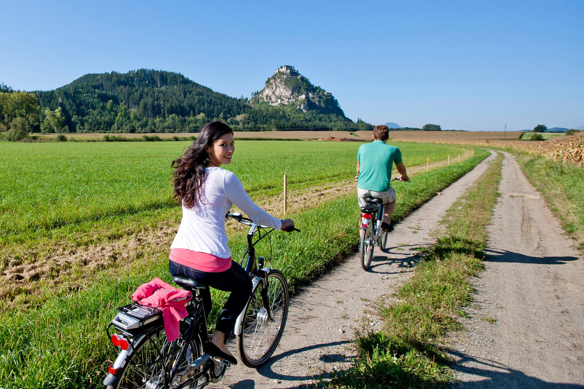
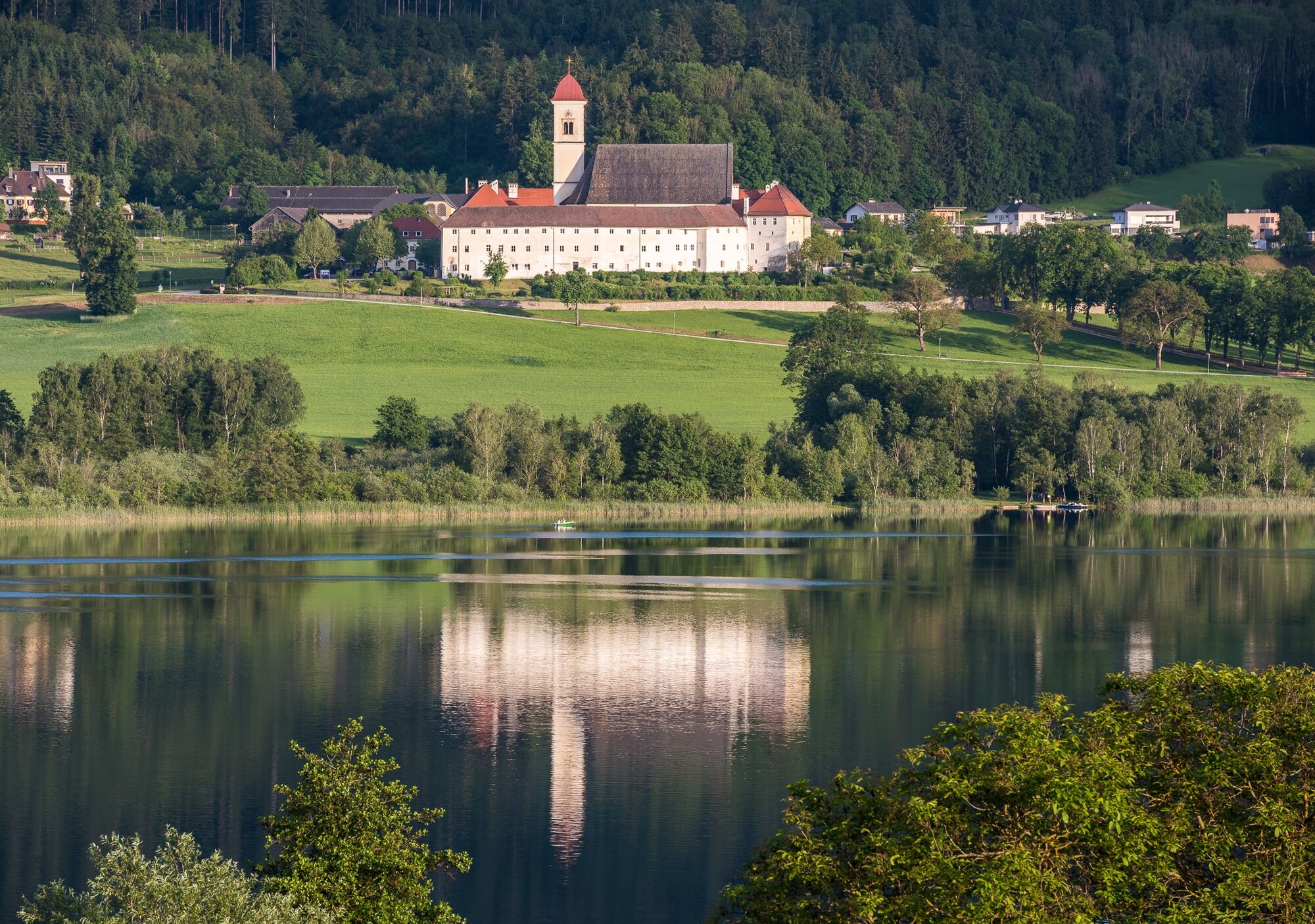
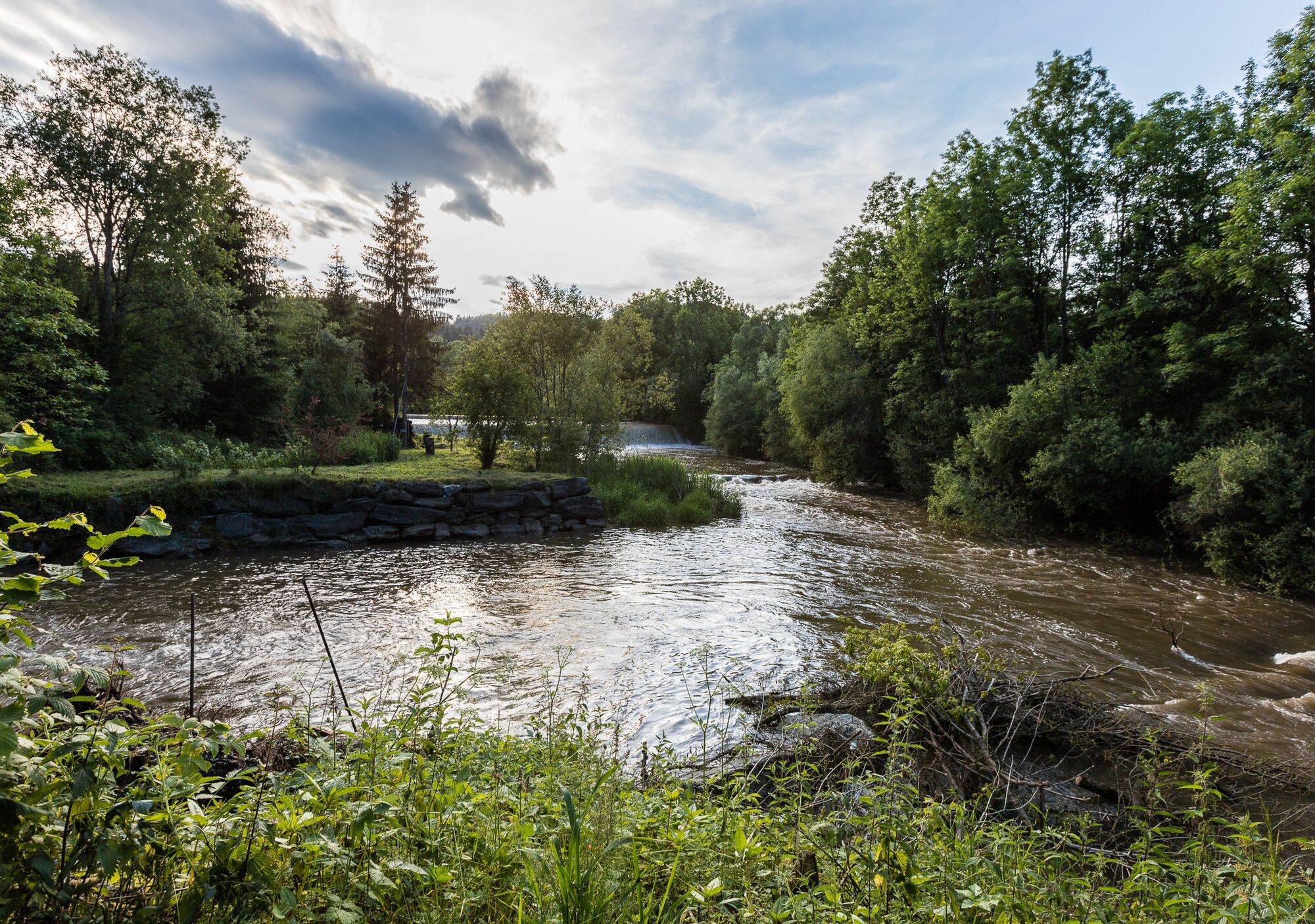
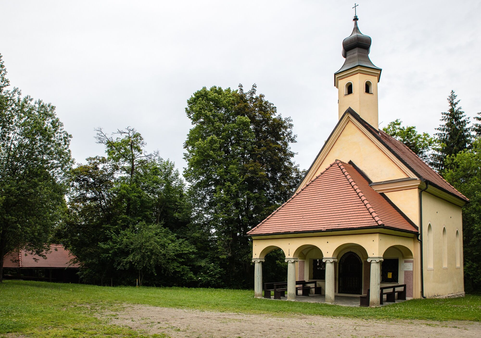
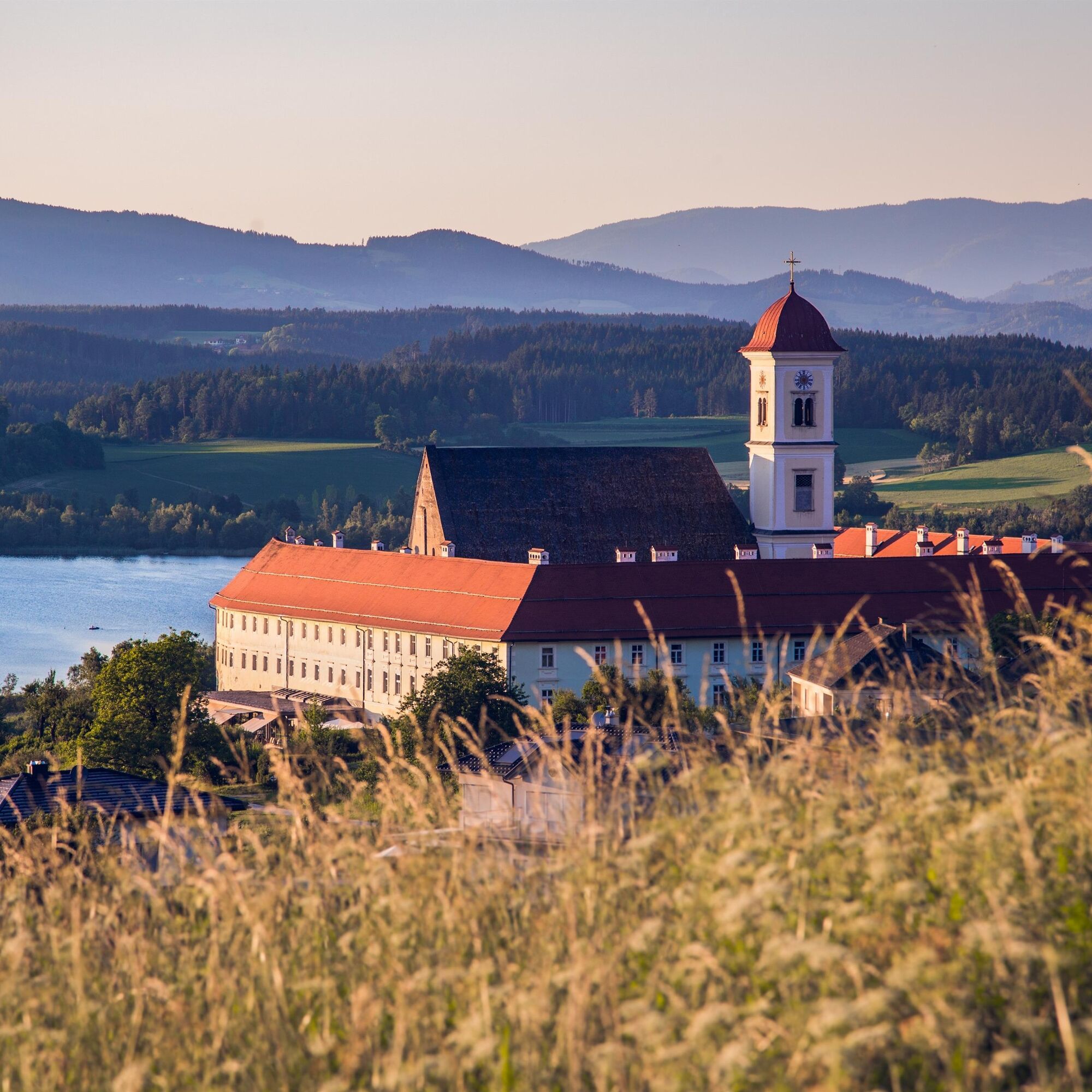


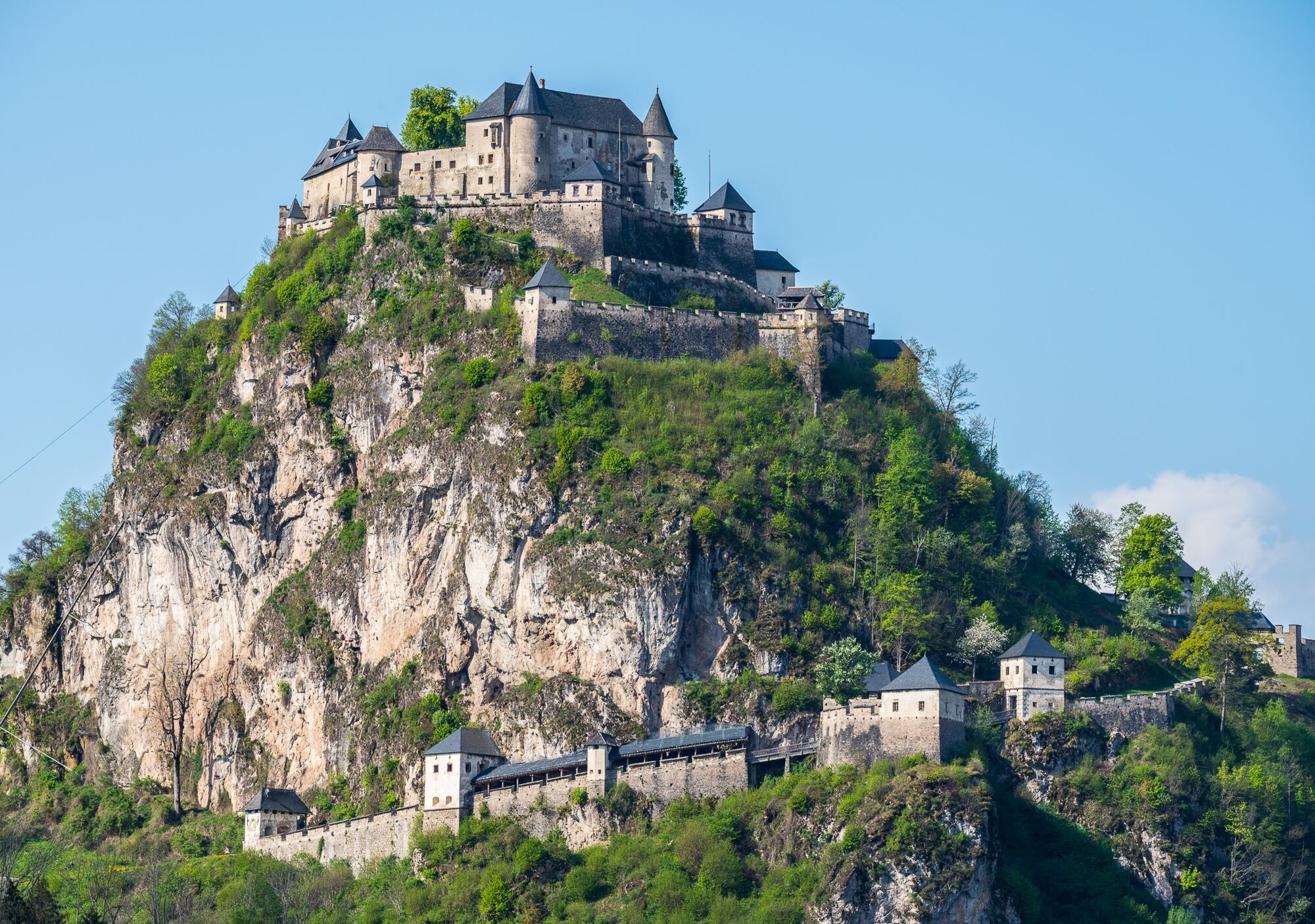

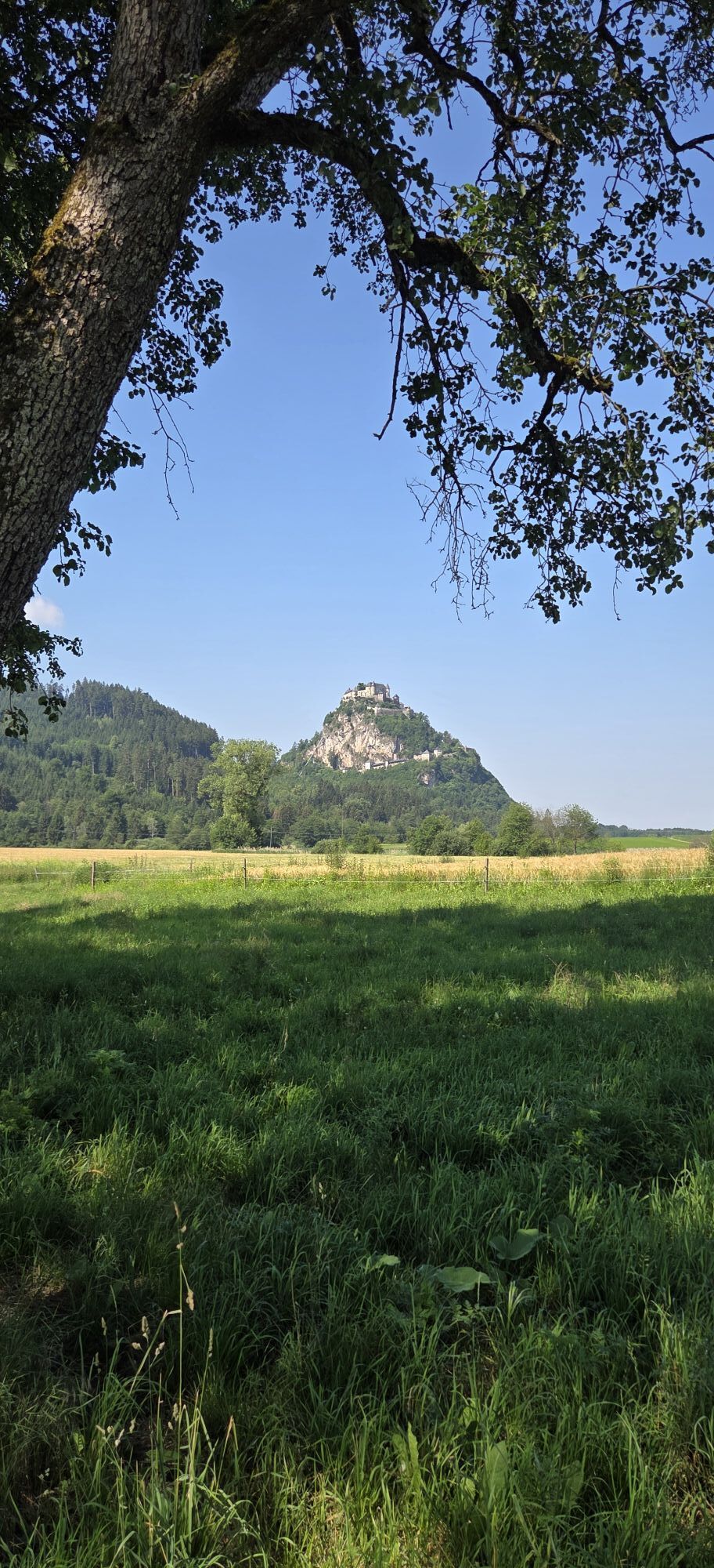
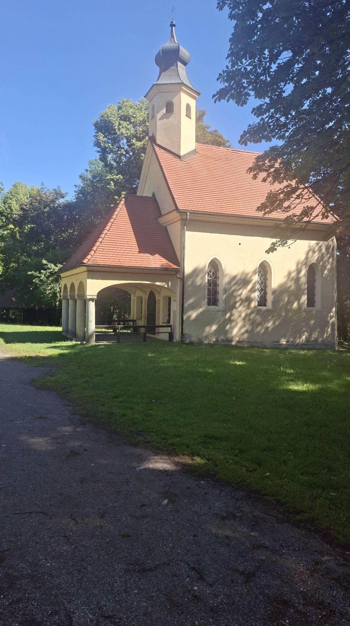
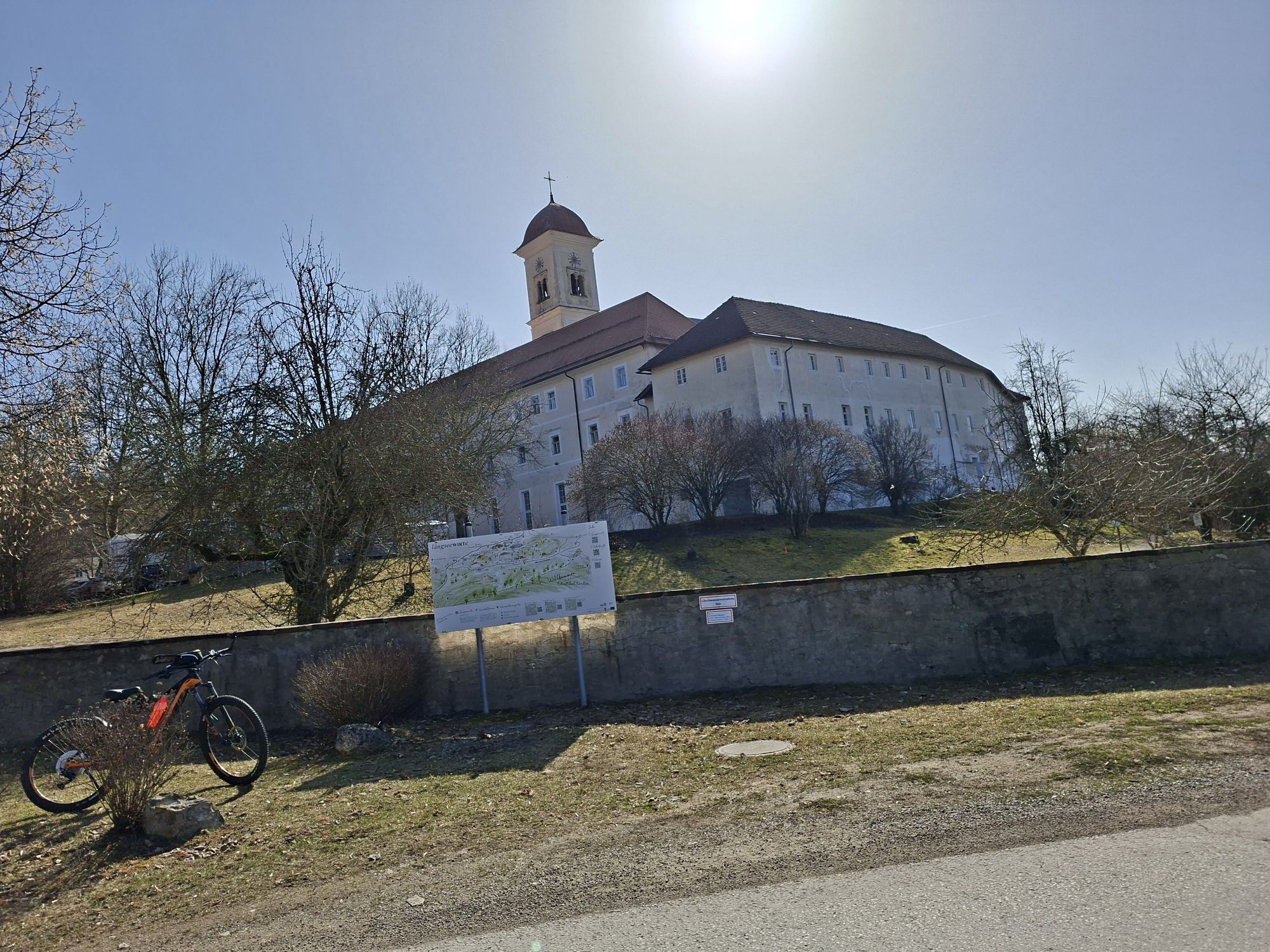
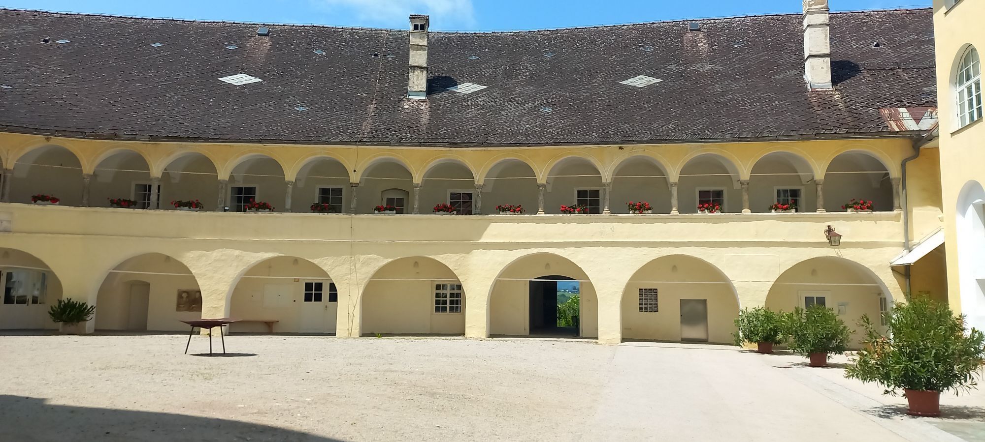
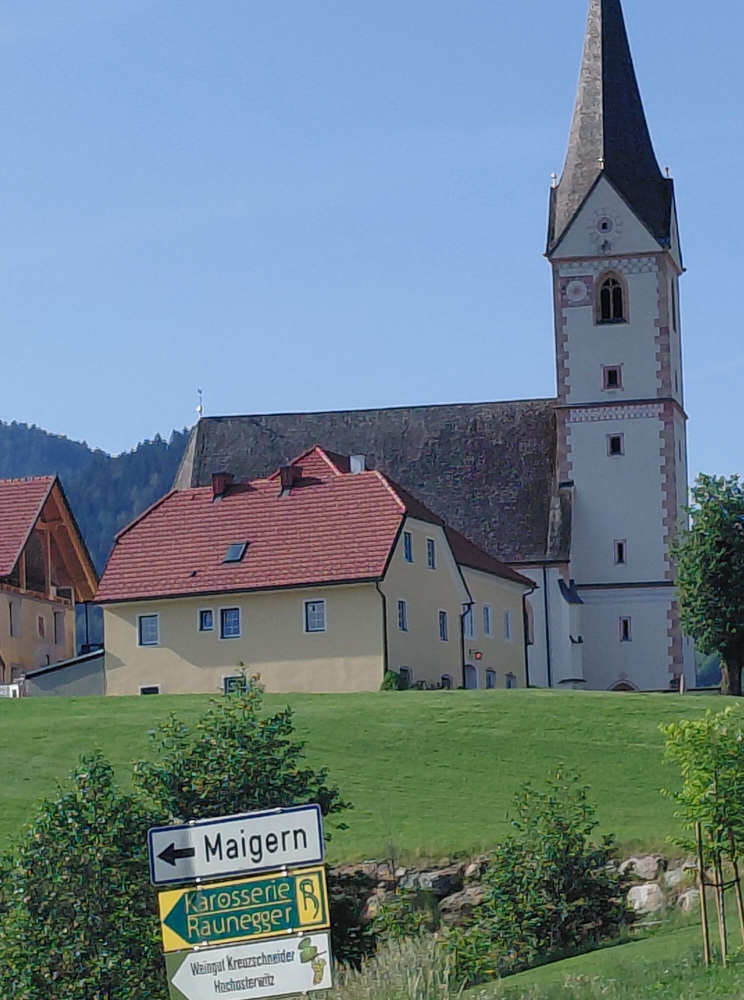
You start your bike route at Stift St. Georgen and cycle at the foot of the Otwinskogel mountain to Fiming. Downhill it goes via Reipersdorf to Niederosterwitz. The widely visible Hochosterwitz Castle, perched on the rock, is circled on the west side; via St. Sebastian, Maigern, and St. Martin you reach the Gurk power plant. The bridges over the Gurk canal lead you further to Gosseling, Polling, and Weindorf. After Stammerdorf, you come to another Gurk power plant and soon afterwards turn sharply left into the Wolschart Forest. On a gravel road, you pass the church of Maria Wolschart. In the village of Drasendorf, you have reached the Längsee lake again, and after a short stretch on Drasendorfer Street on the east shore of the lake, you have arrived back at the starting point. You can relax in the spacious monastery gardens or refresh yourself with food and drink in the monastery restaurant.
Tak
roadworthy bike, comfortable clothing, filled water bottle, charged mobile phone
pay attention to the weather, stay on the marked path
Via the B 317 Friesacher Street and the L84 Längsee Street to Stift St. Georgen.
ÖBB timetable information:
https://fahrplan.oebb.at/webapp/#!P|TP!H|273697
Large parking lot available at Stift St. Georgen.
2
Visit Hochosterwitz Castle, the Längsee lake, and linger at Stift St. Georgen.

Popularne wycieczki w okolicy
-
4,8
Abenteuer-Wasser-Weg
średniWędrówka 9,13 km -
4,7
Vierbergelauf
średniTrasa pielgrzymki 47,6 km -
4,5
Ulrichsberg
światłoWędrówka 5,60 km -
4,3
Mariahilferweg
średniWędrówka 11,2 km -
3,6
Kunstwanderweg rund um den Längsee (1)
światłoWędrówka 5,43 km -
4,1
MAGDALENSBERG RUNDWANDERUNG
średniWędrówka 11,7 km -
4,4
Magdalensberg von St.Donat
światłoWędrówka 9,28 km -
4,0
Schloss Frauenstein - Kraiger lake circular route
światłoWędrówka 6,96 km -
4,1
Althofen Wald Ausichtsweg
światłoWędrówka 3,94 km -
4,0
Around the Buchberg (6)
średniWędrówka 8,79 km
Wędrówki i tropienie


Nie przegap ofert i inspiracji na następne wakacje
Twój adres e-mail została dodana do listy mailingowej.