







Rail, Rent & Bike Klagenfurt - Along the Drau to Lake Klopeiner See
Poziom trudności: 4
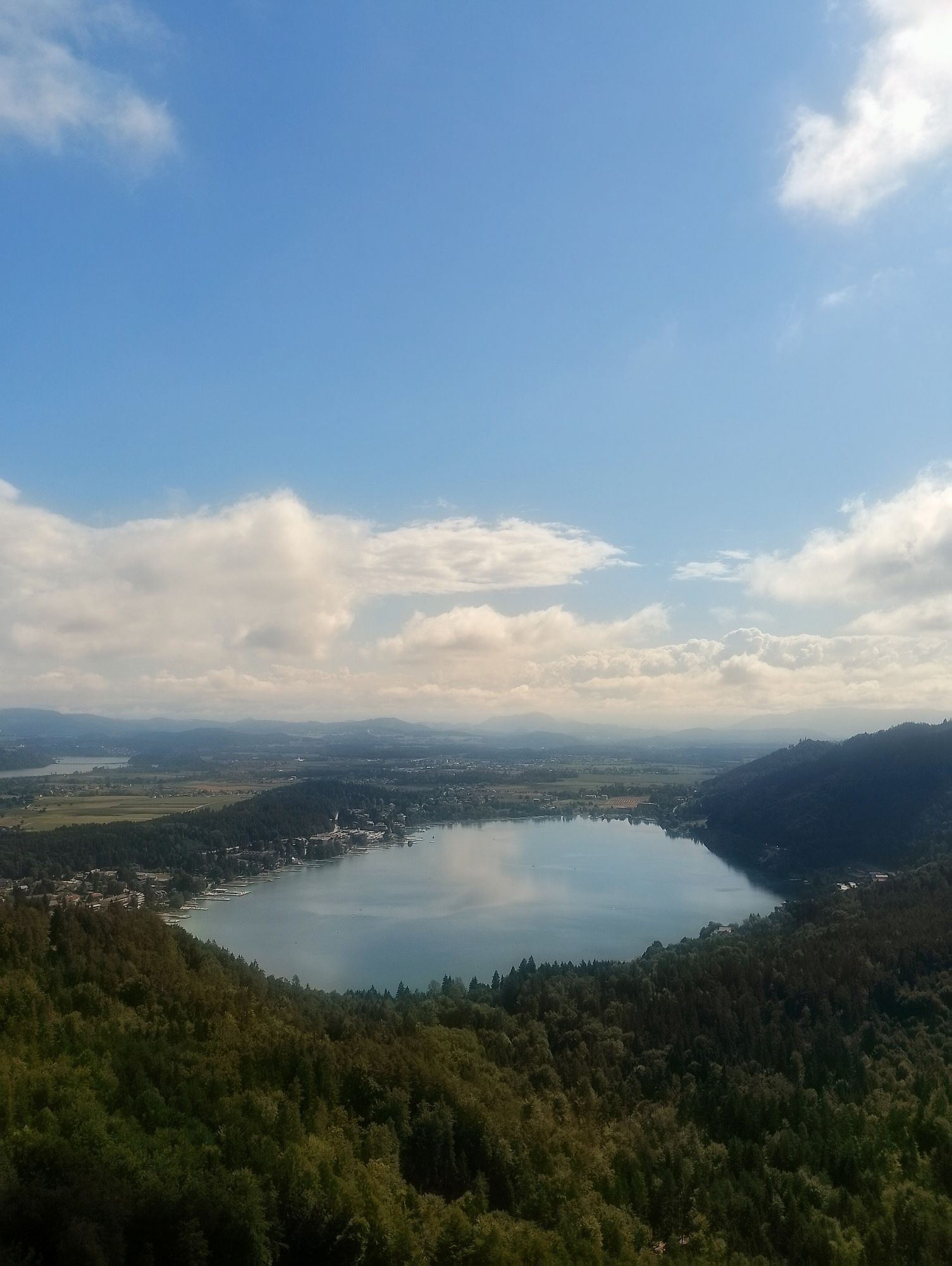
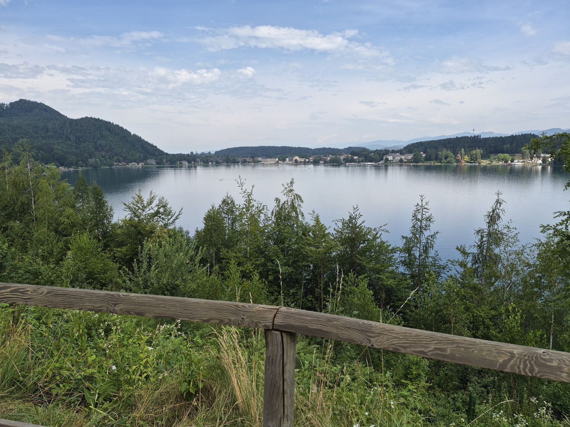
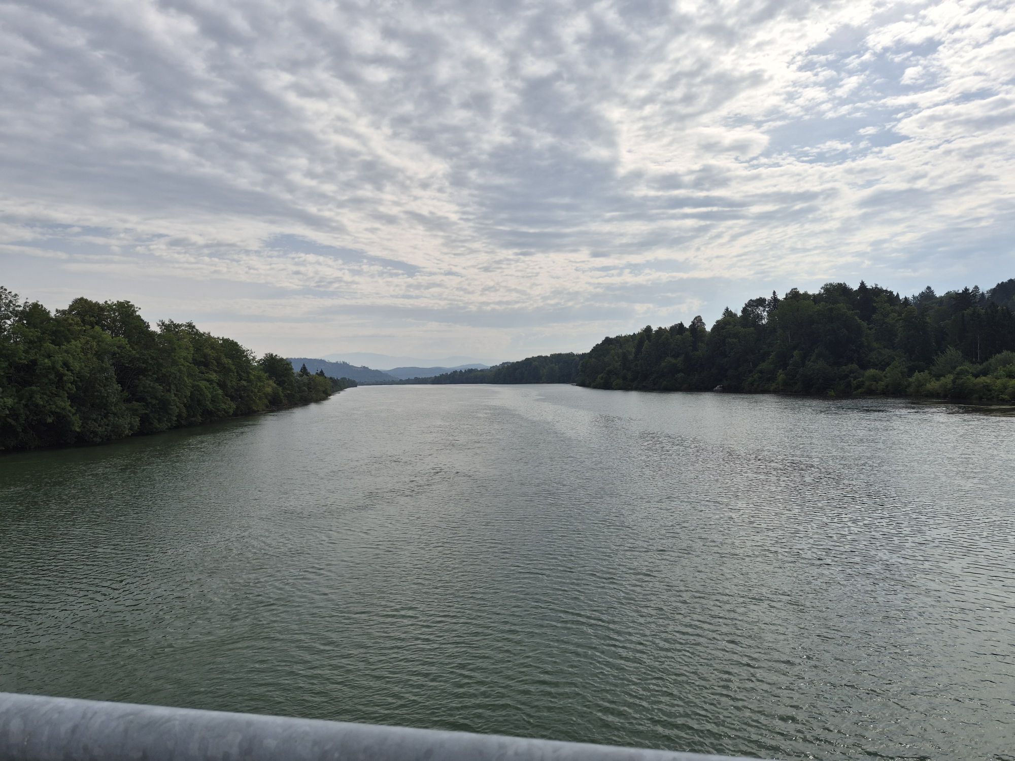
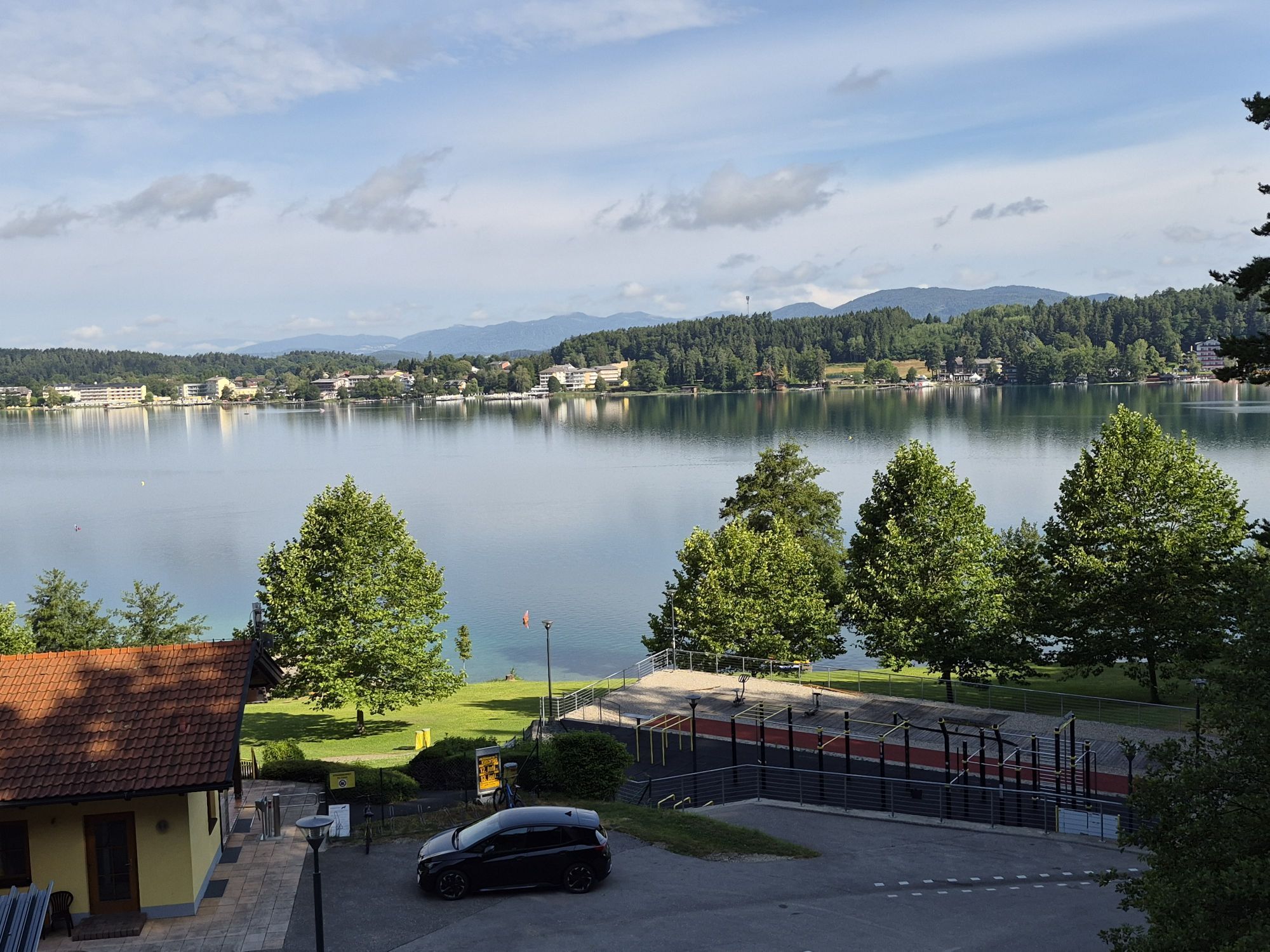
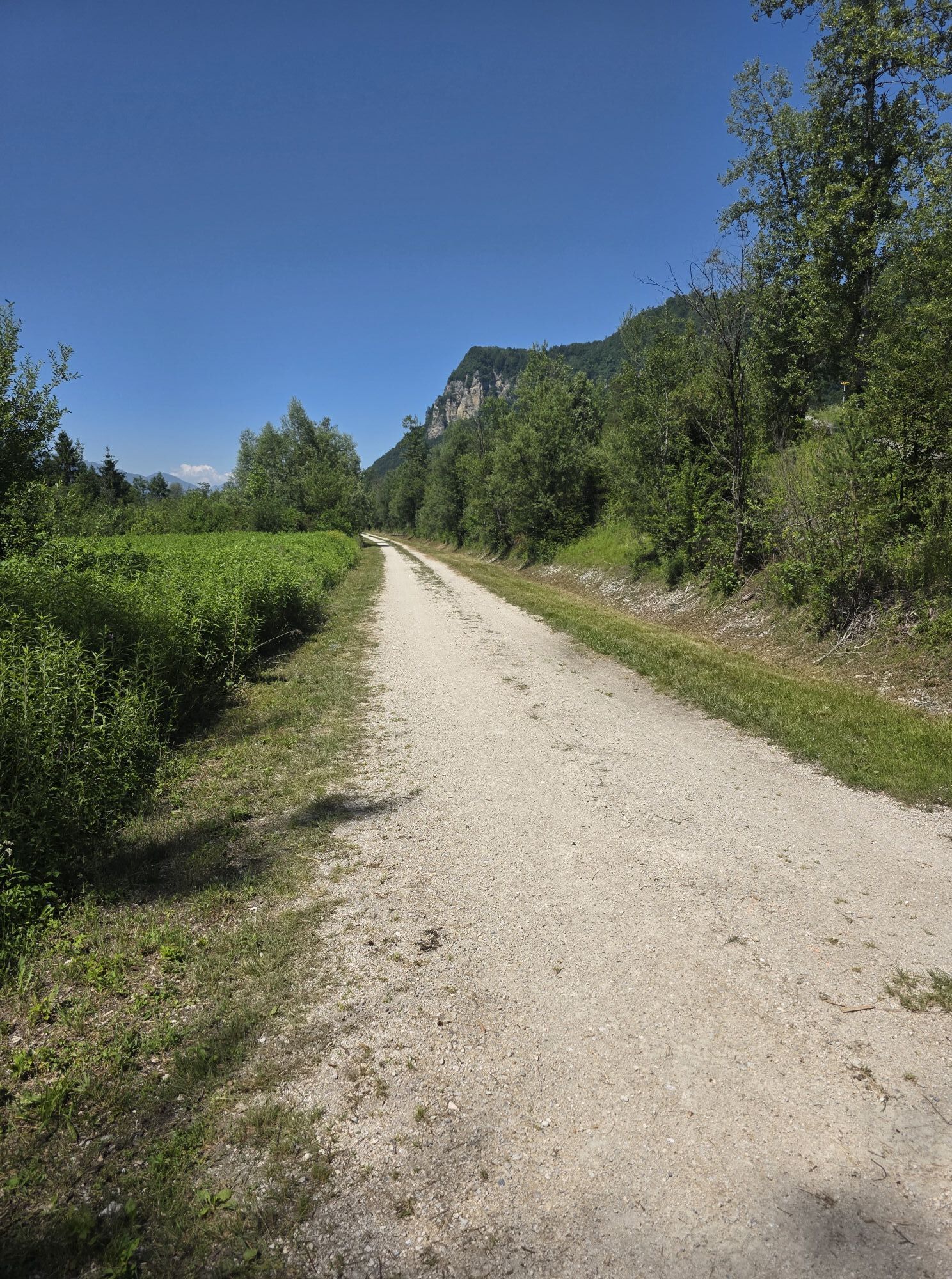
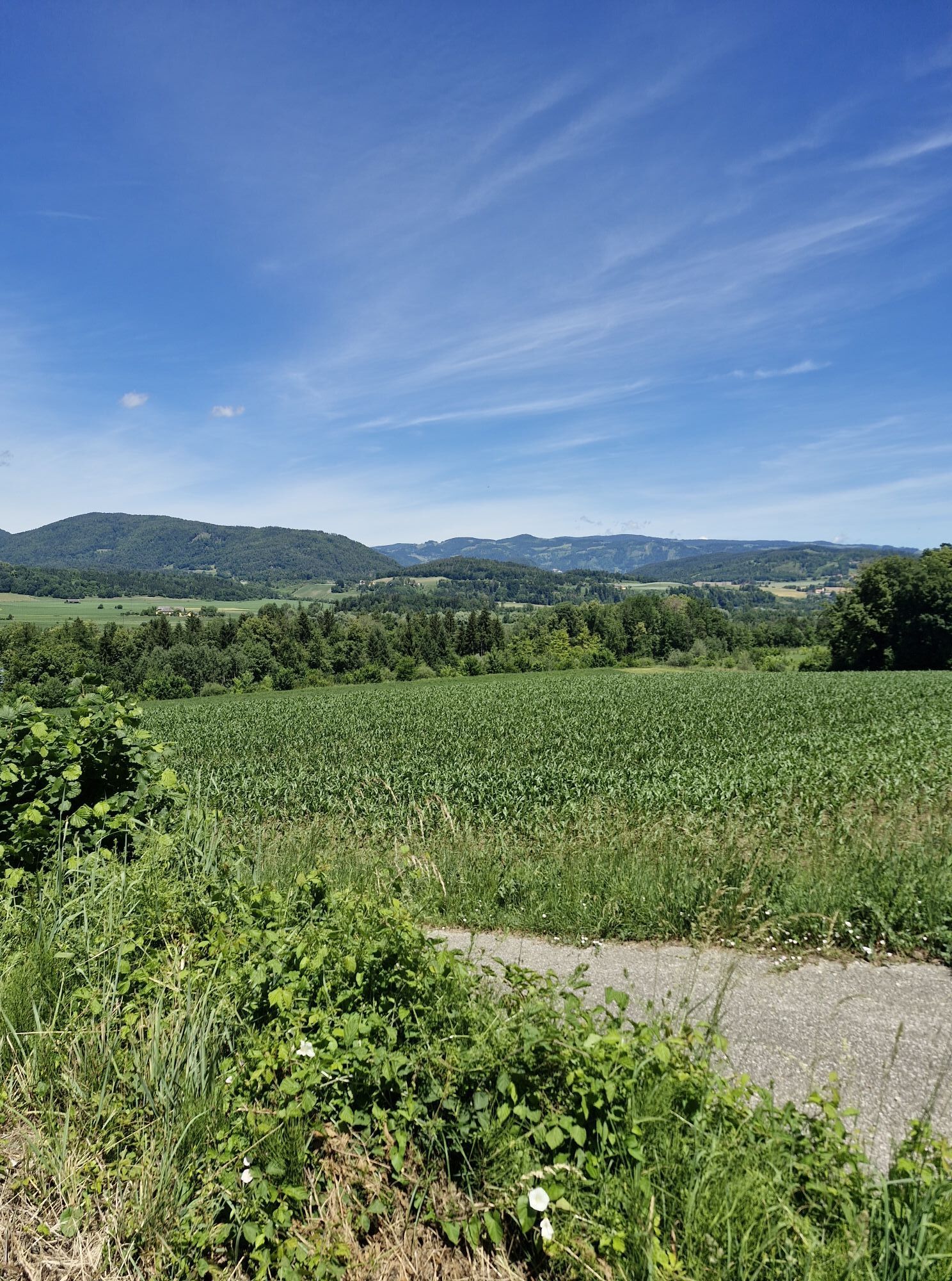
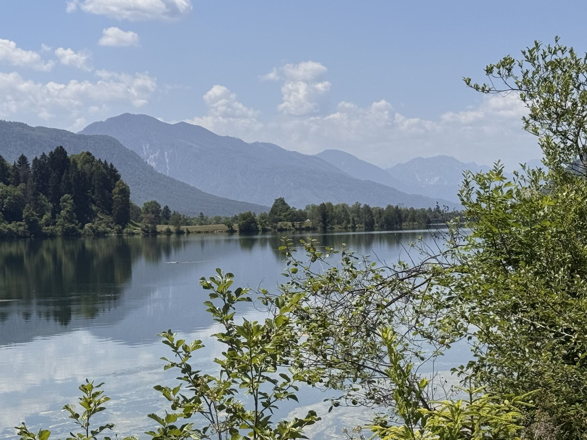
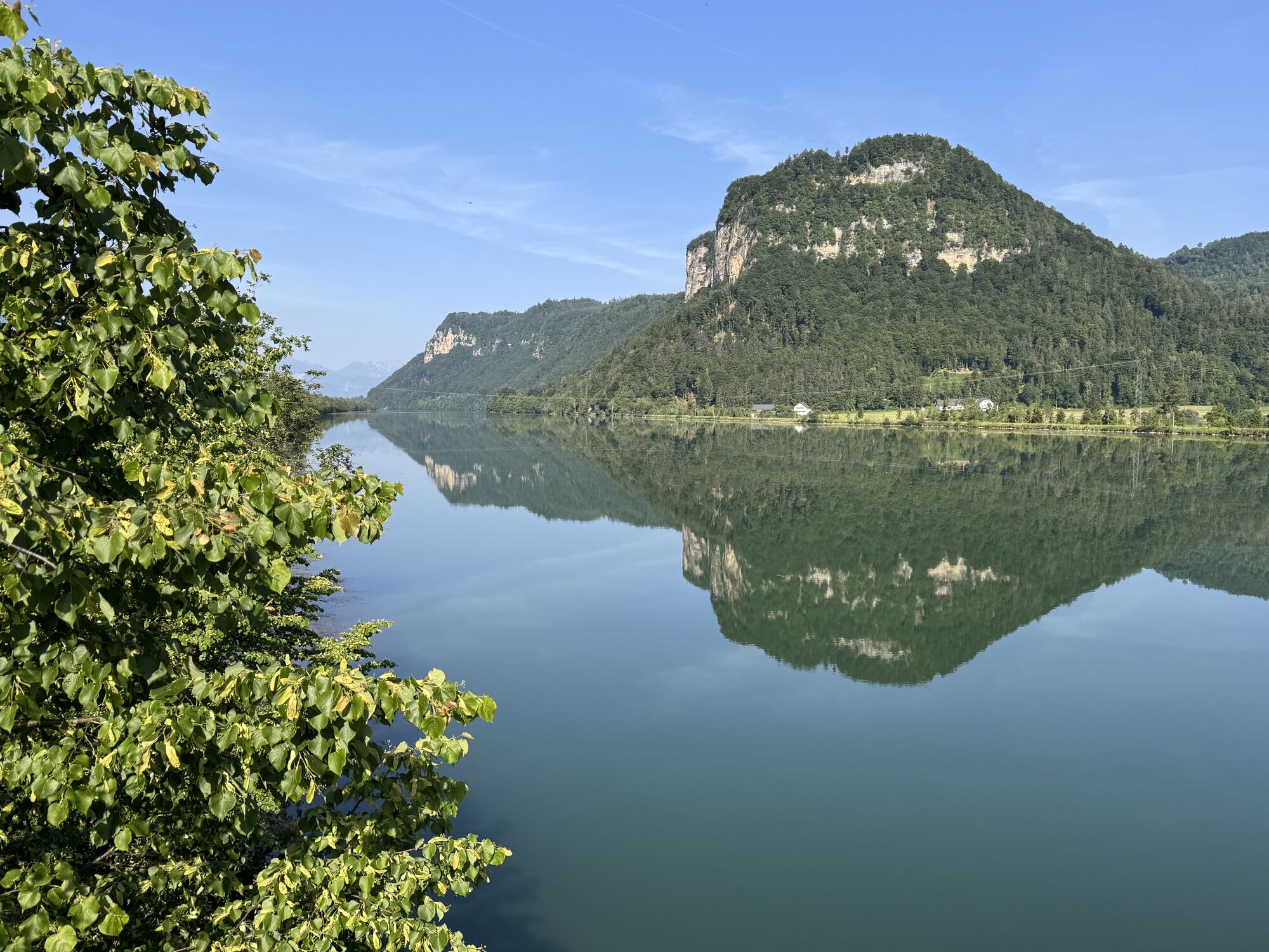
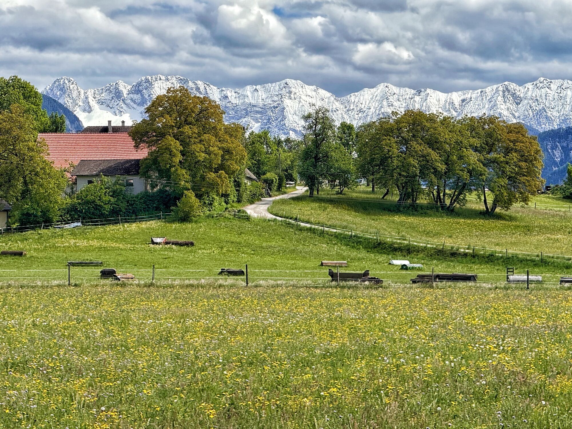
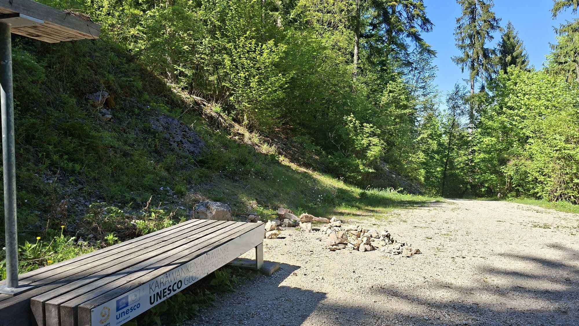
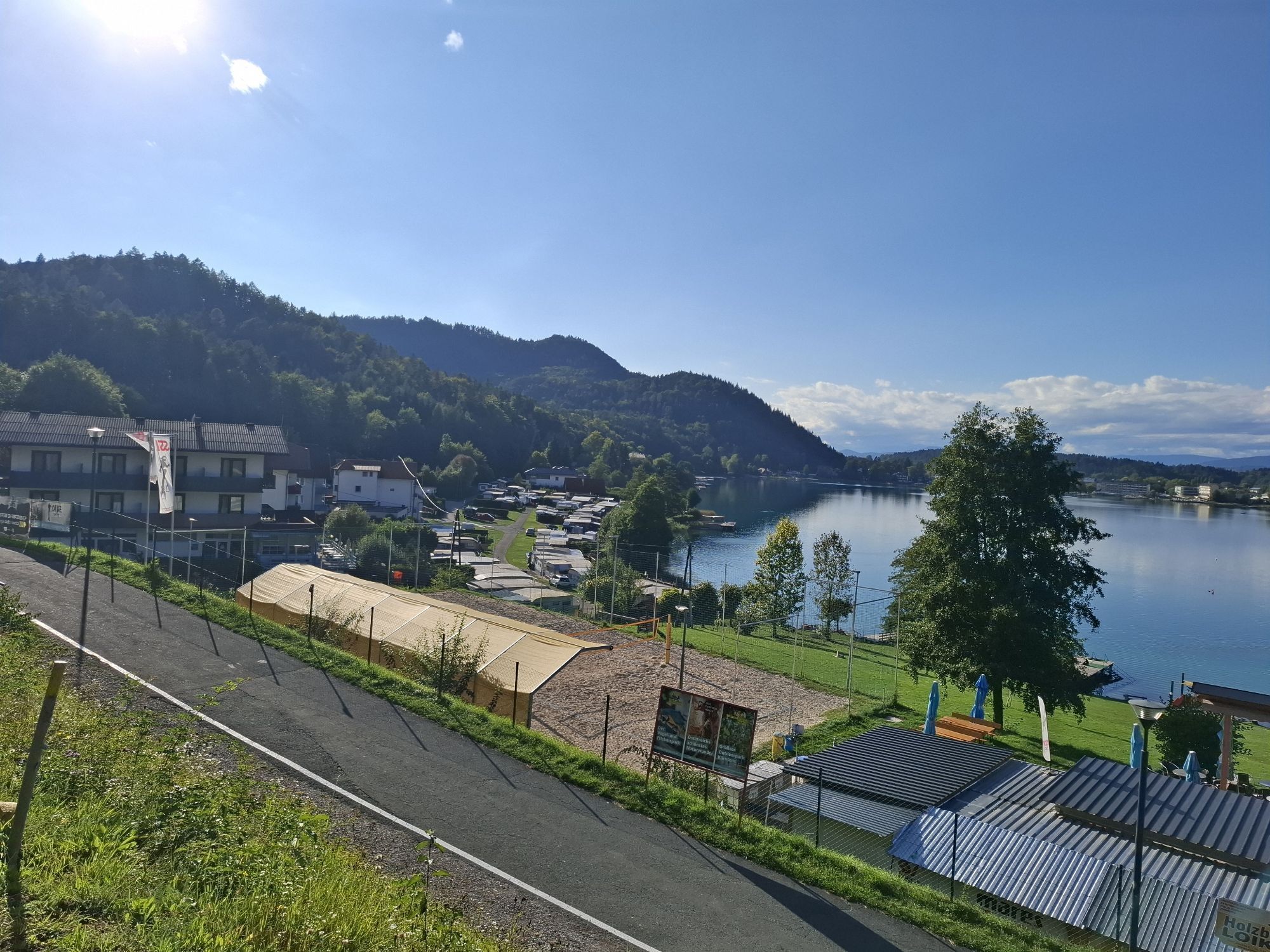
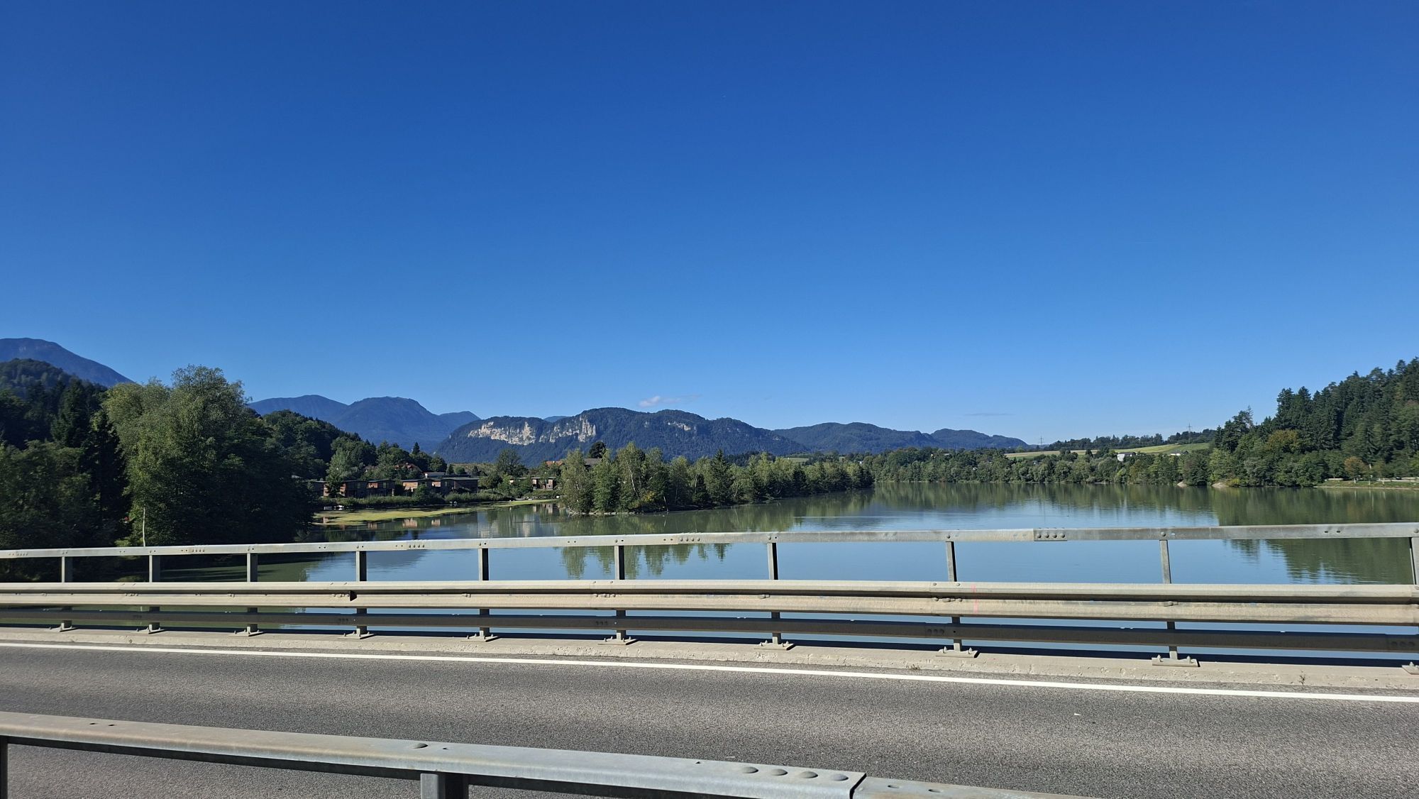
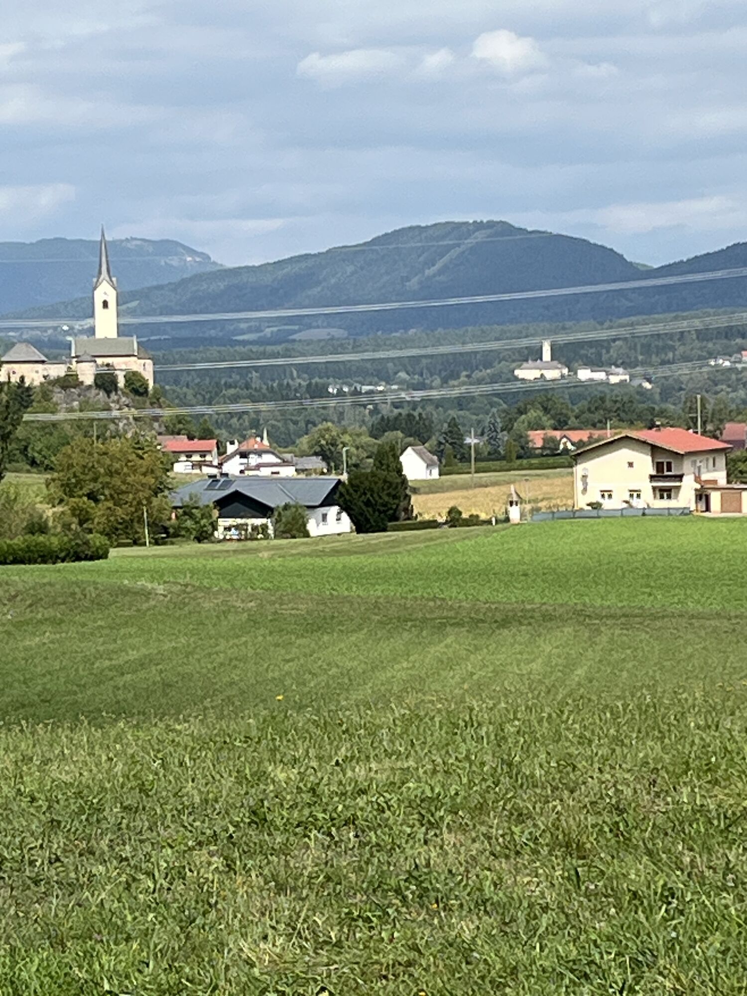
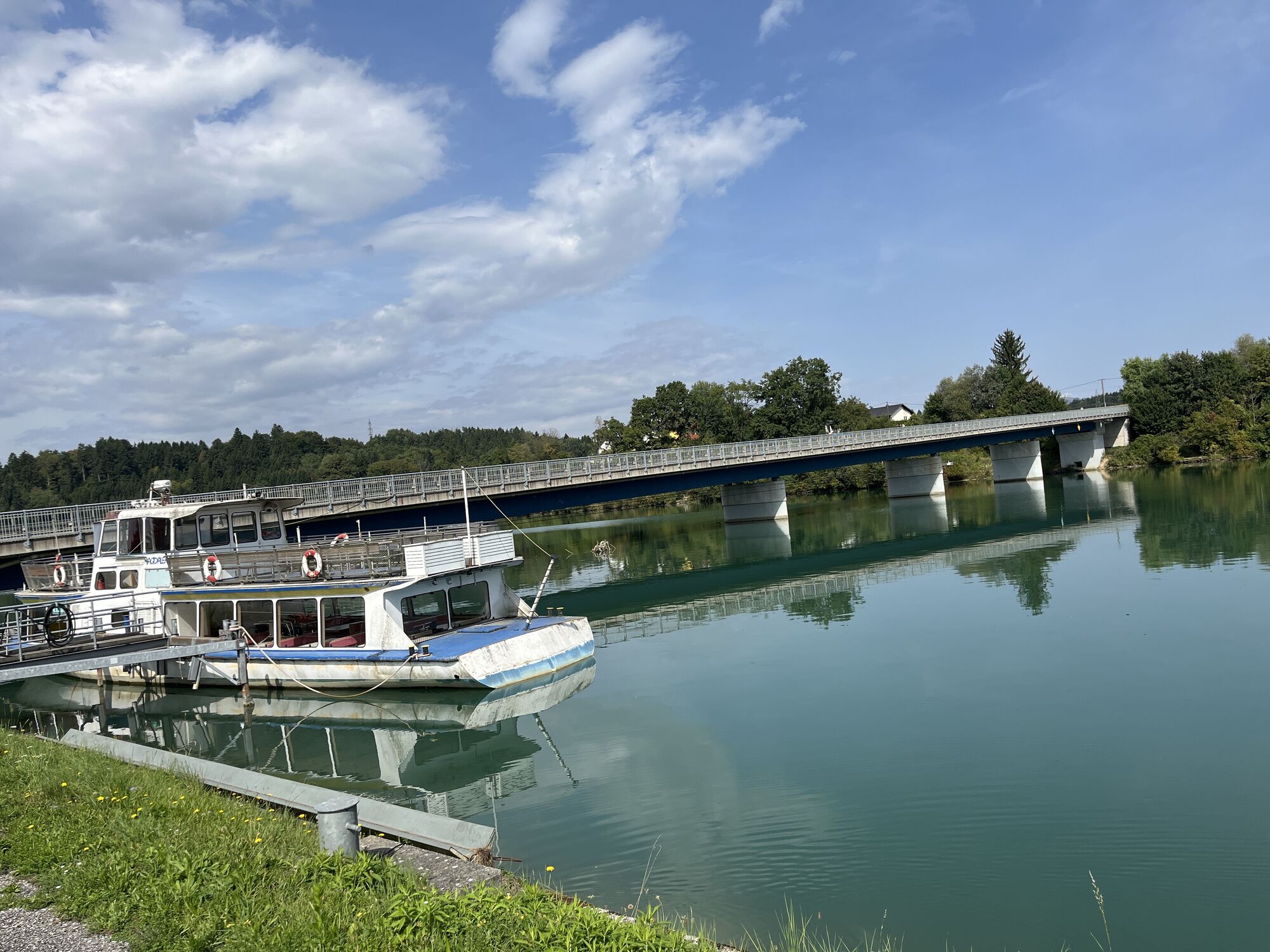
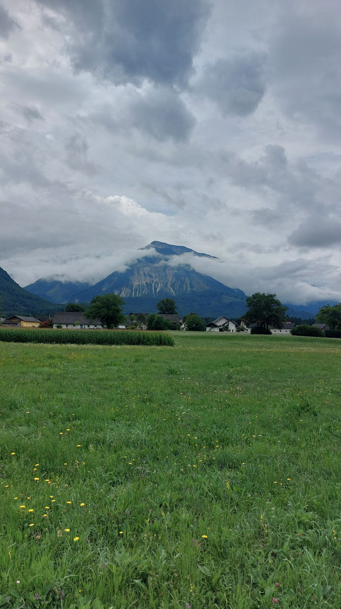
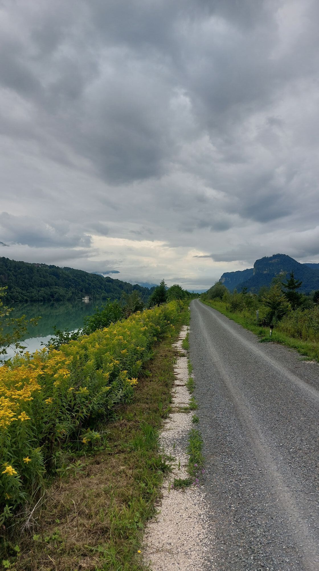
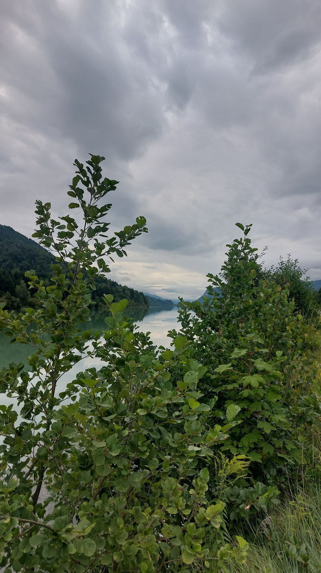
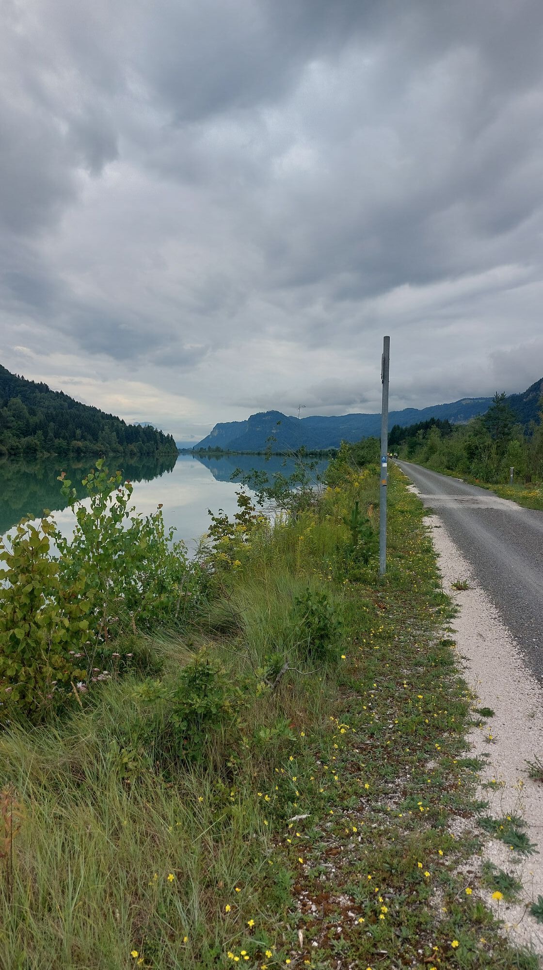
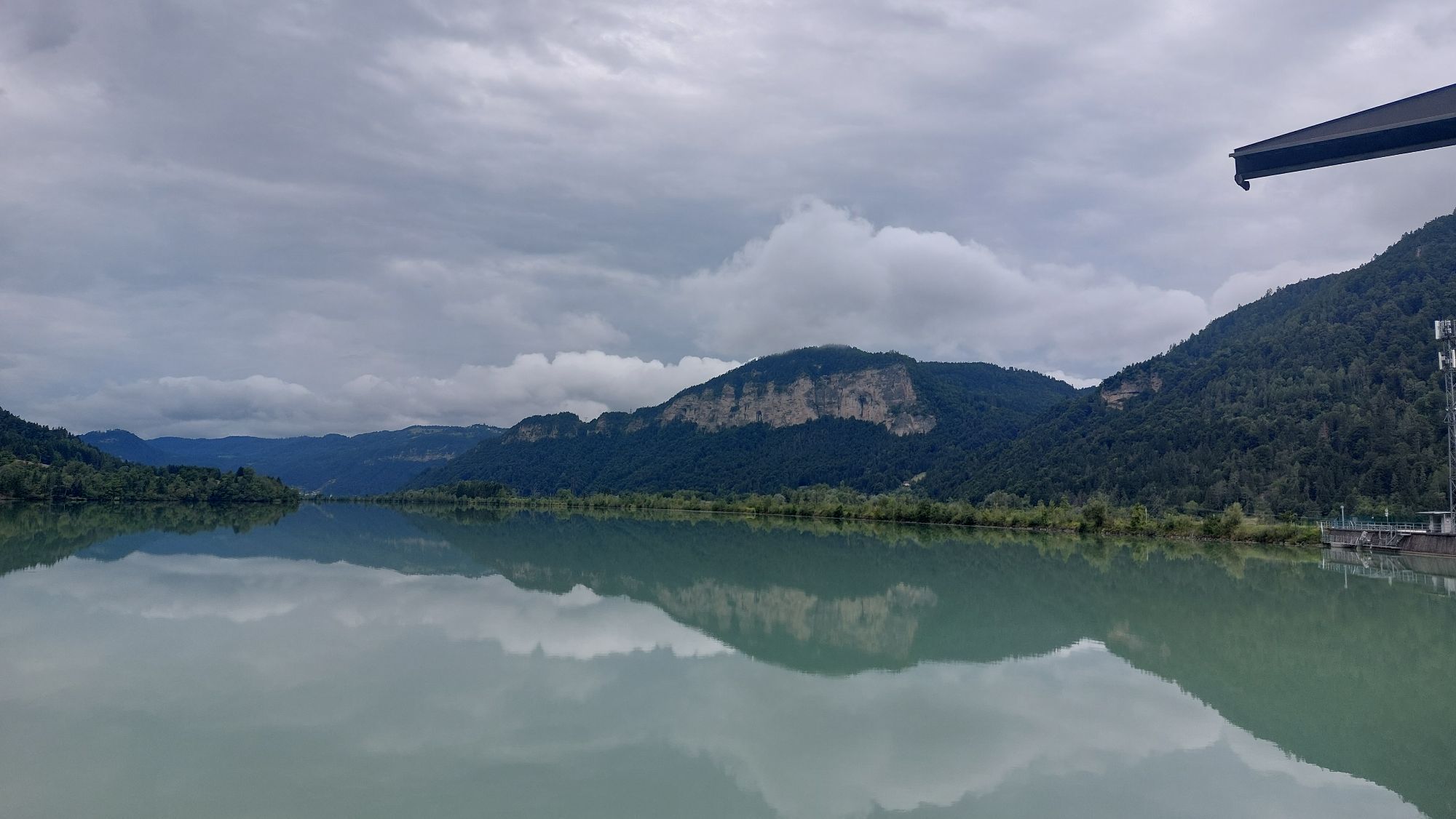
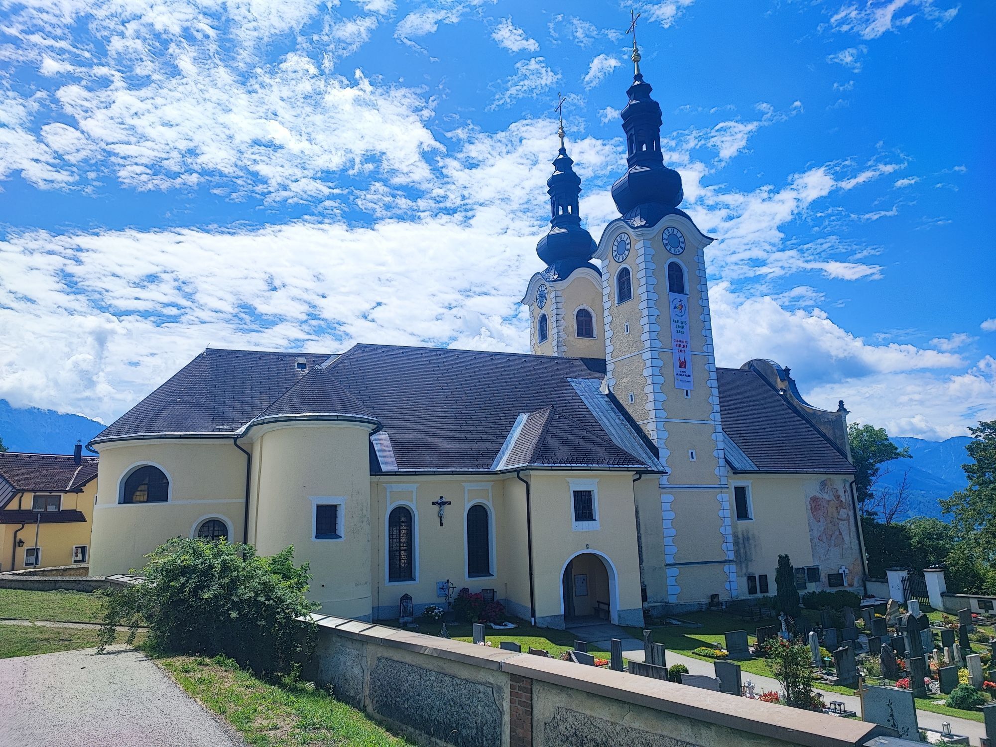

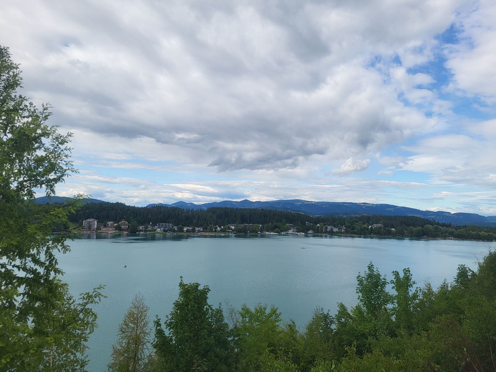
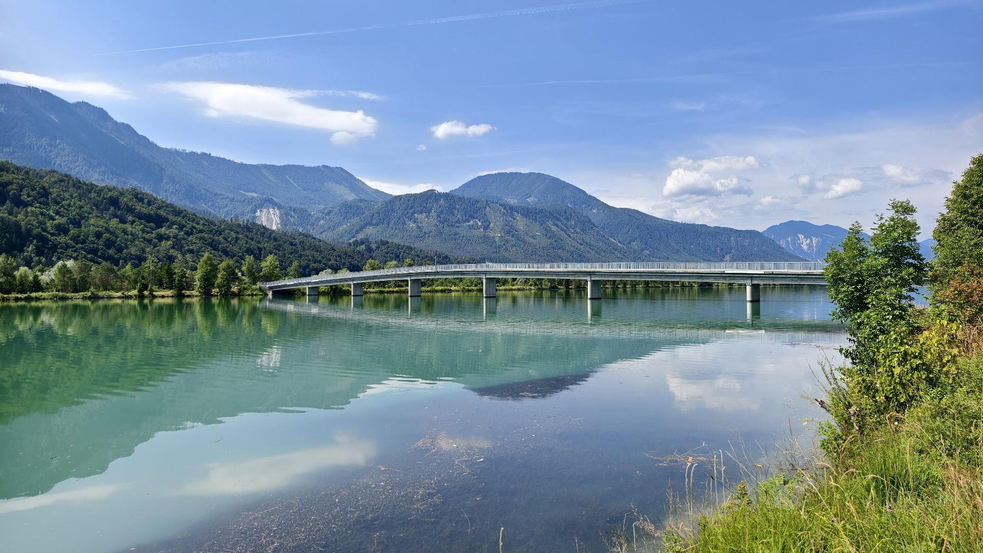
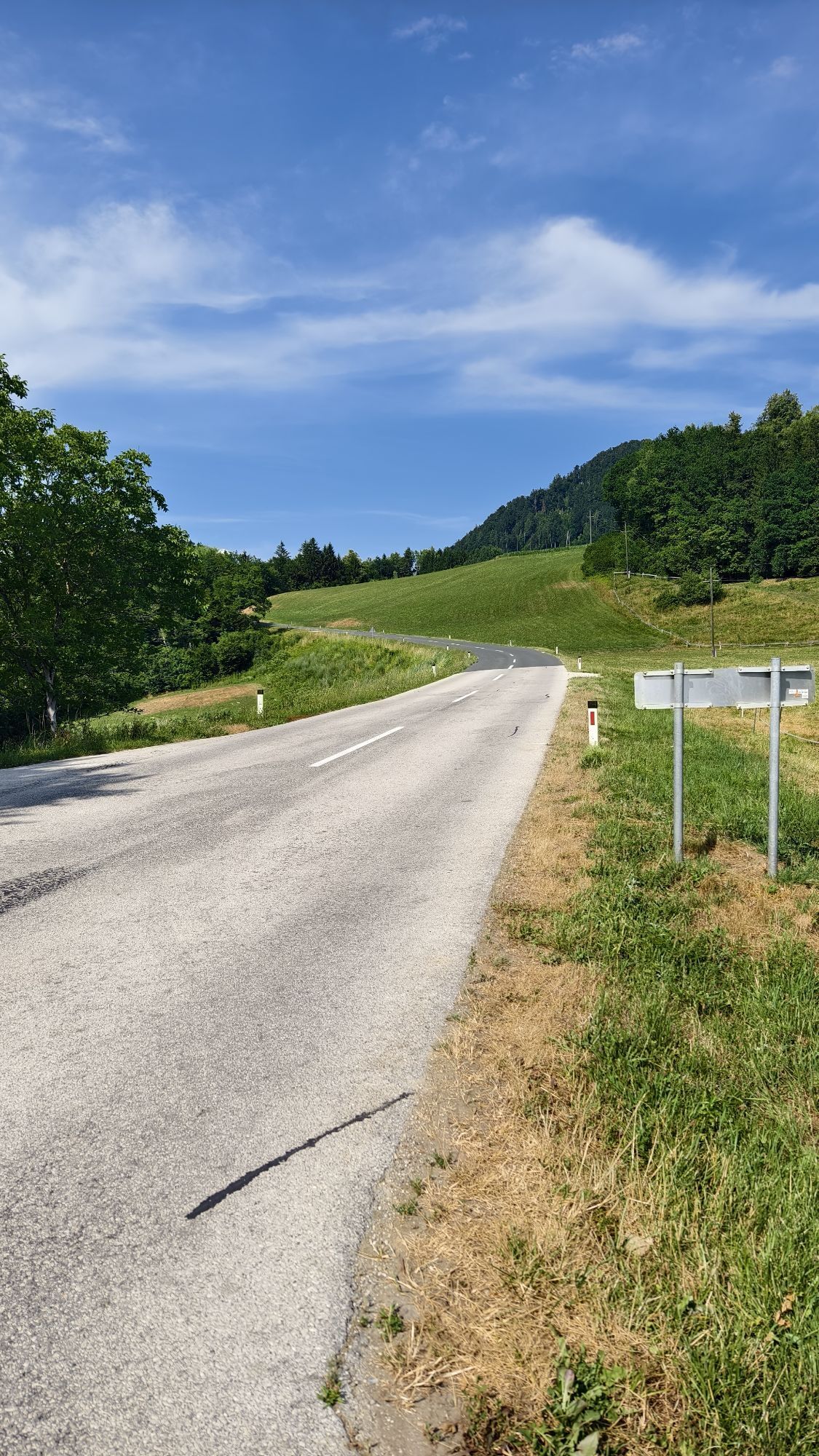
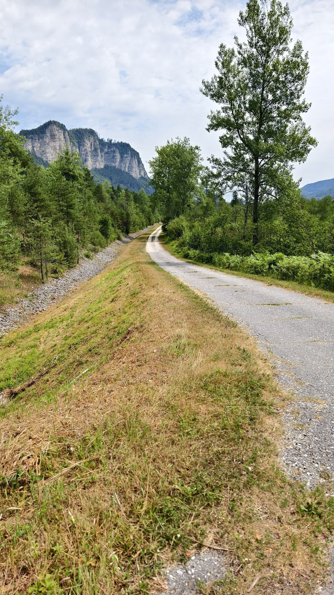
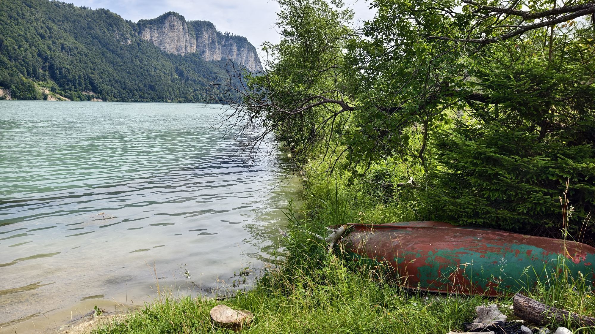
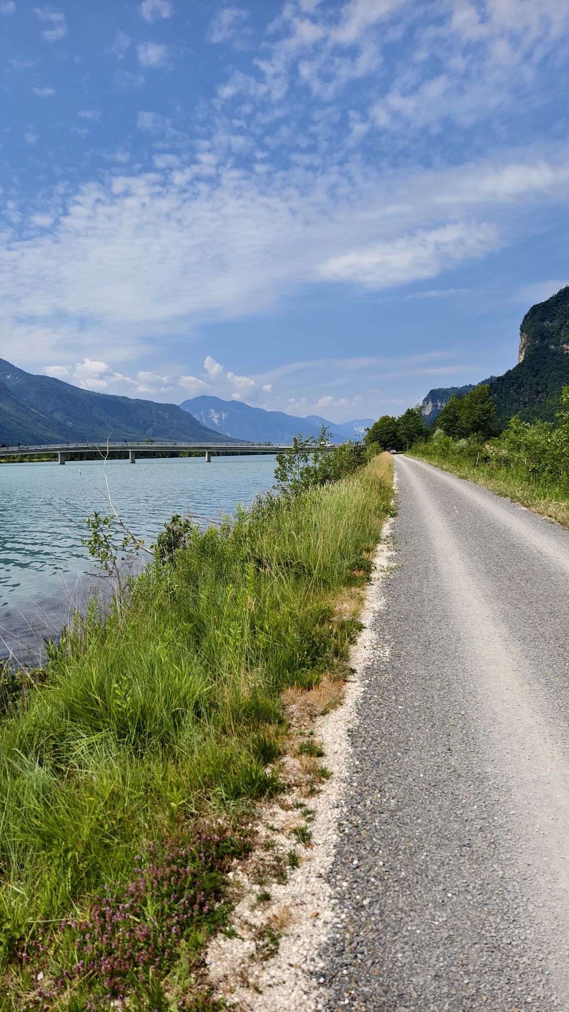
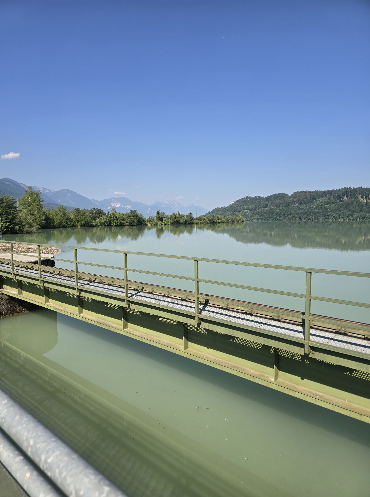
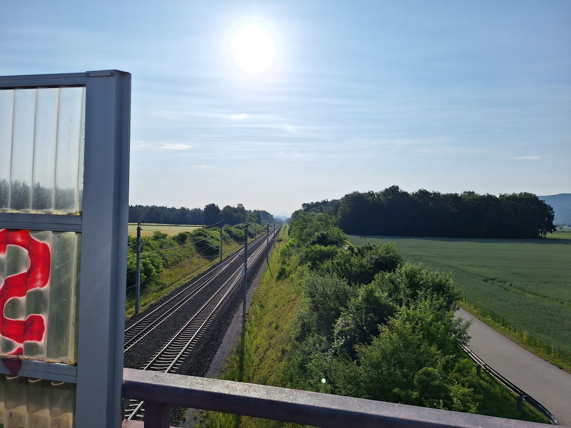
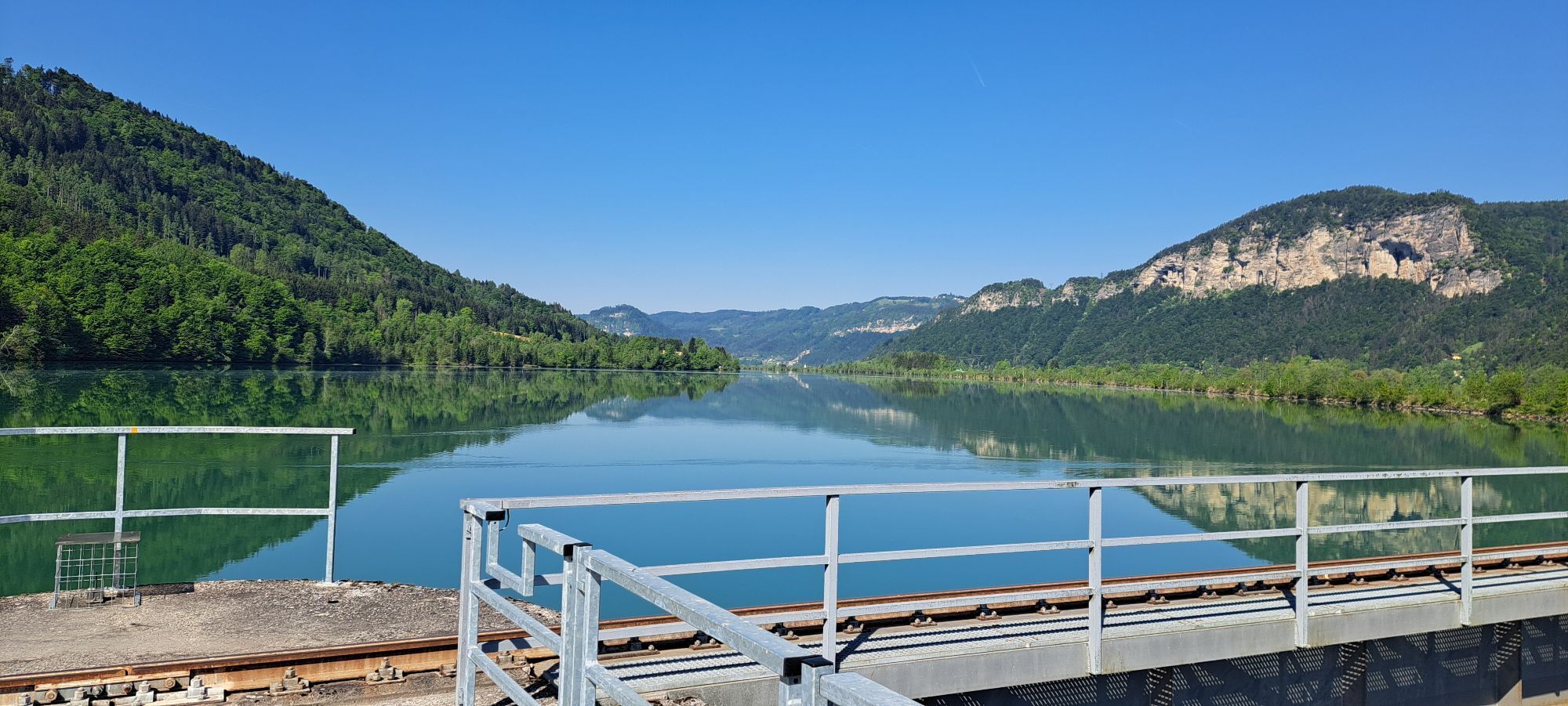
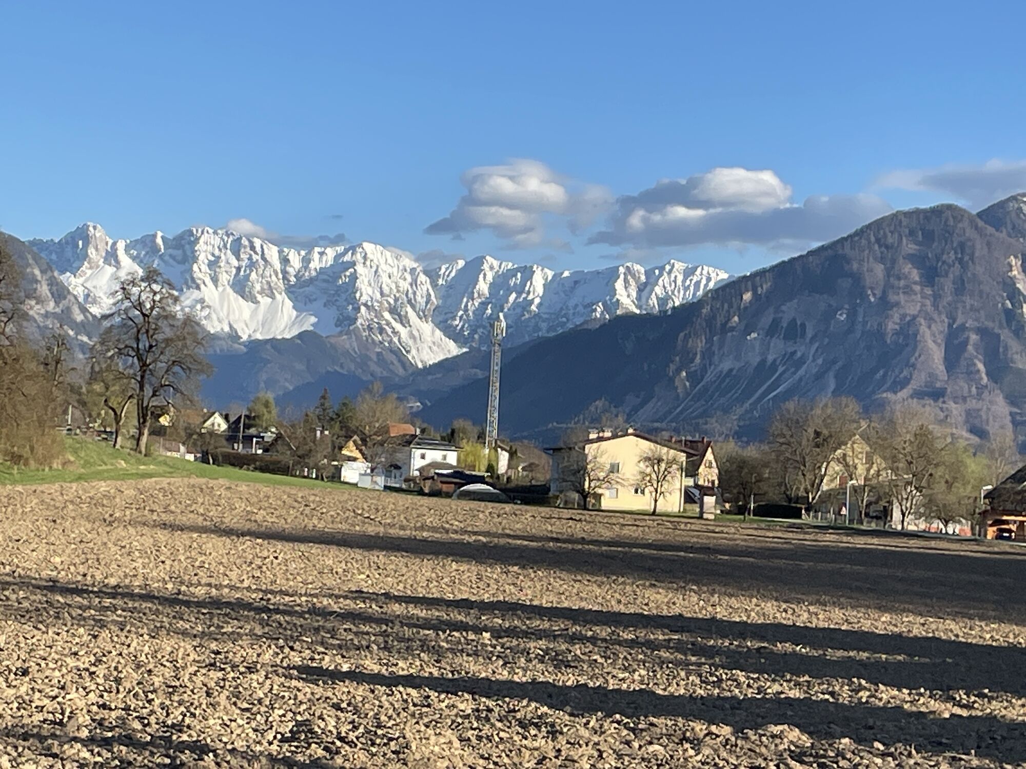
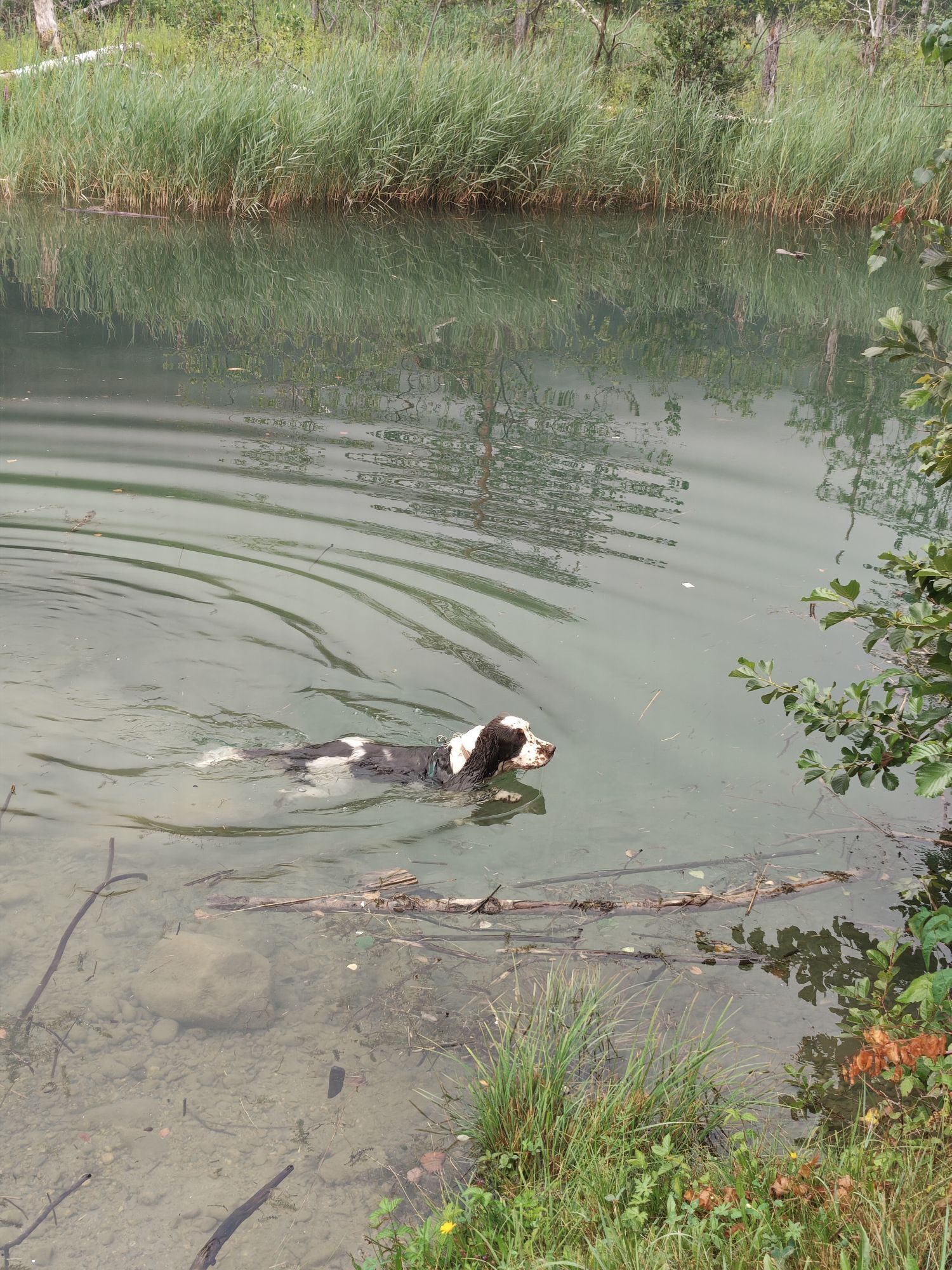
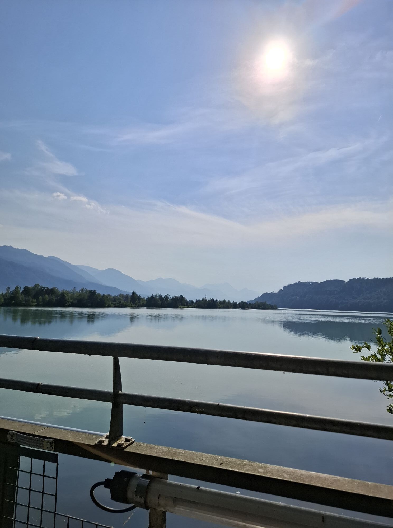
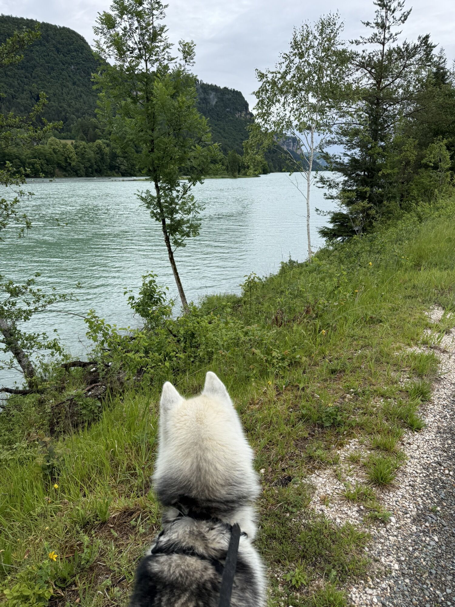
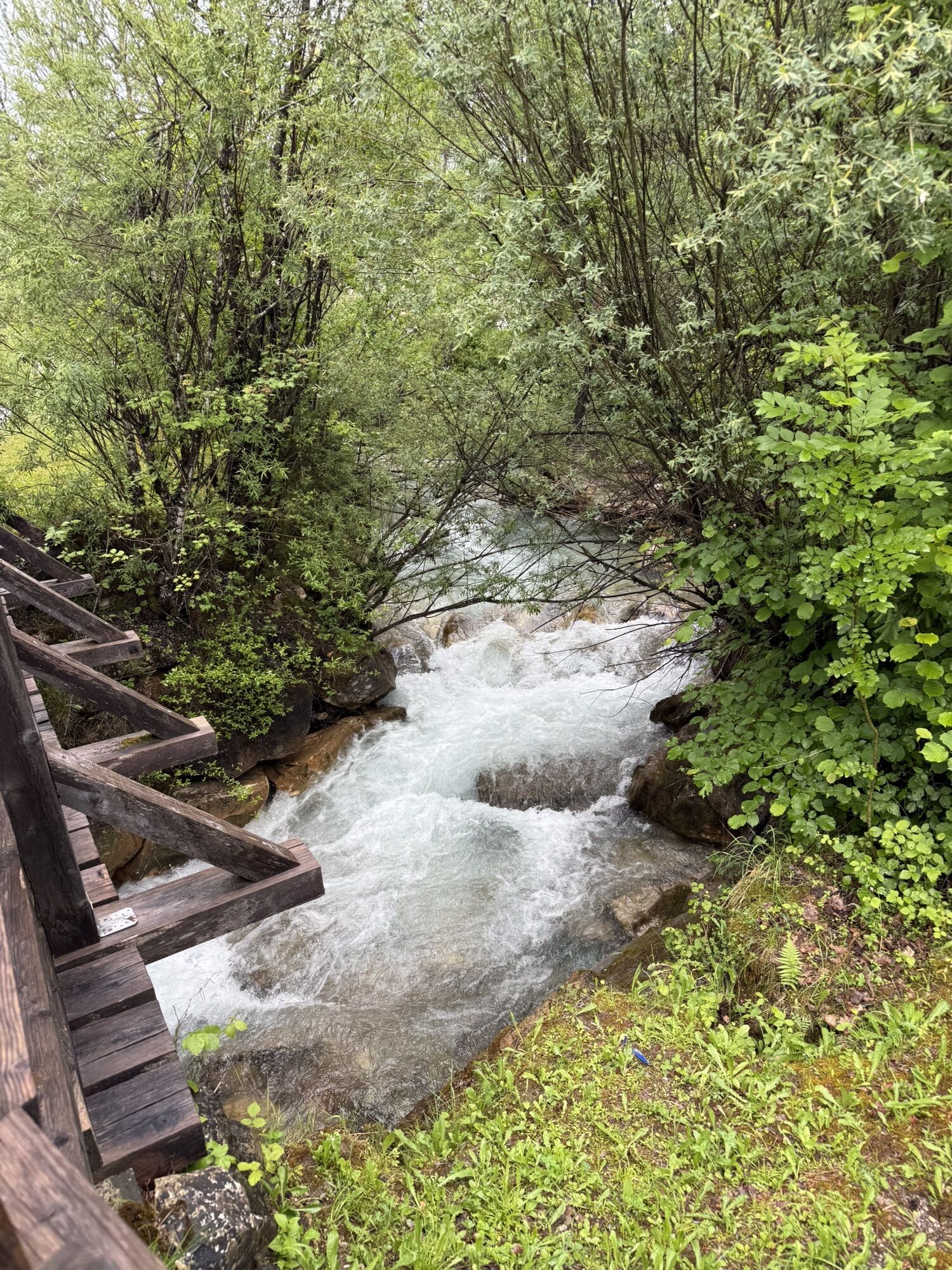
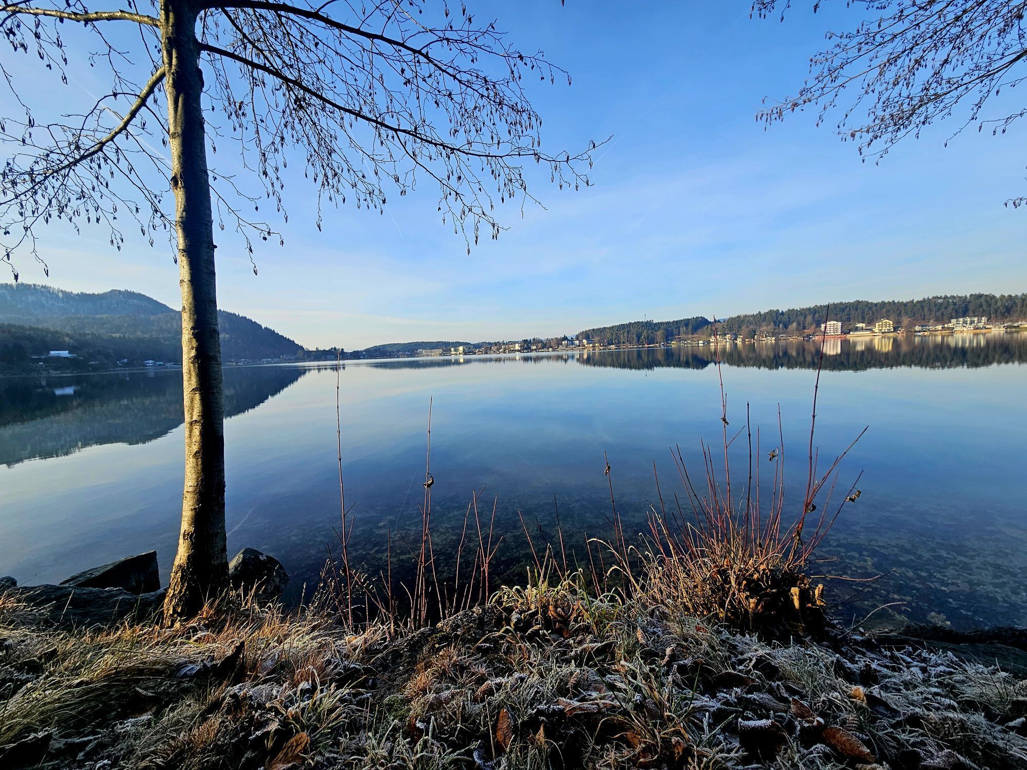
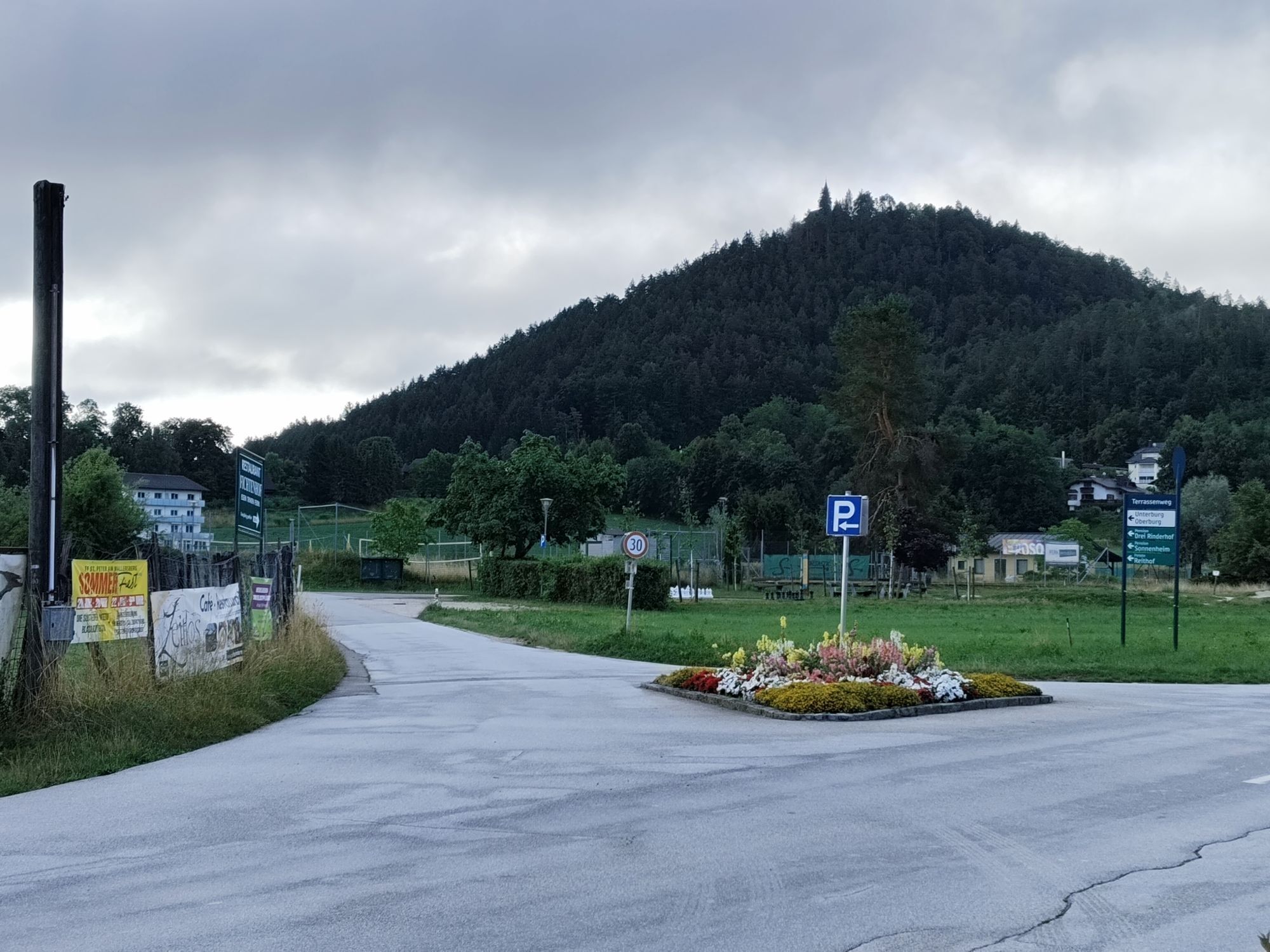
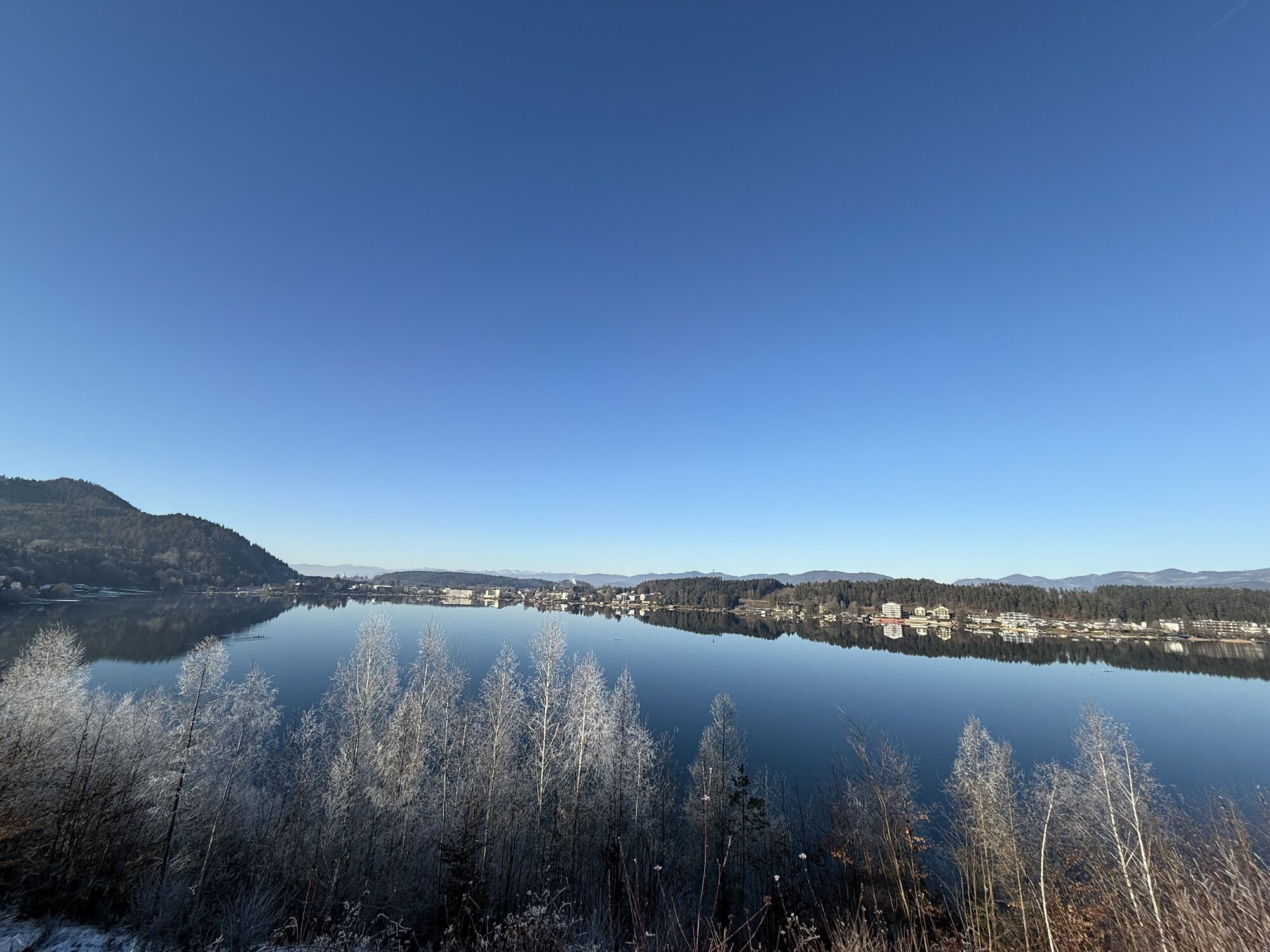
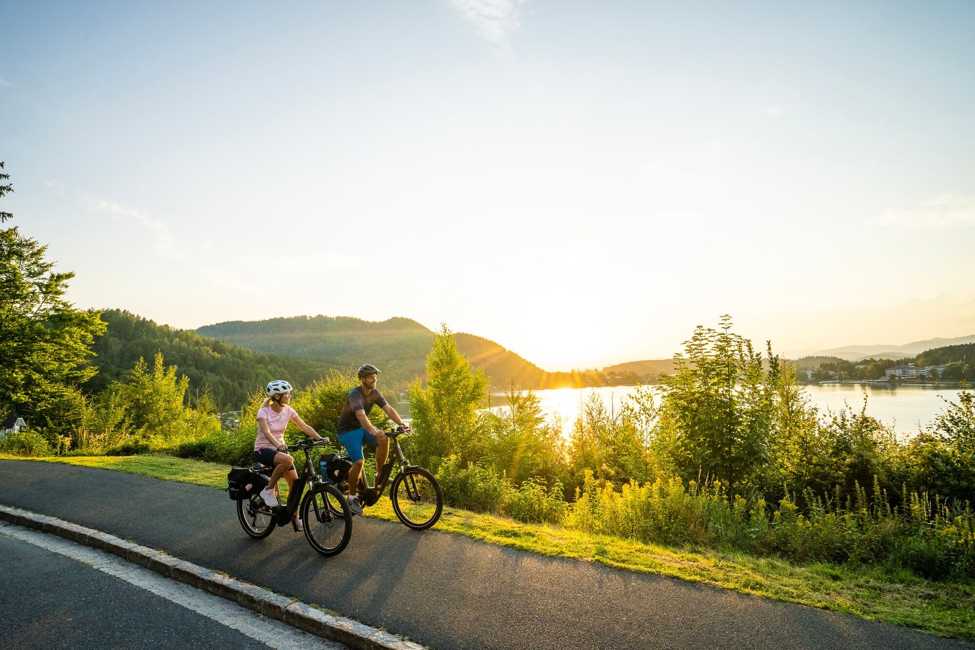
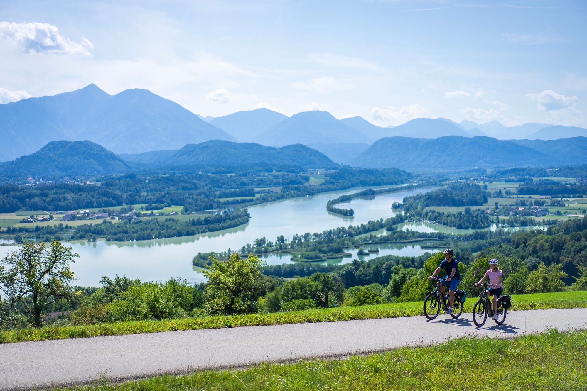
This varied circular tour starts at Klagenfurt main station and initially leads along the Drau close to the river. The quiet section between Rottenstein and Linsendorf offers wide views of the river landscape...
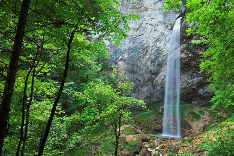
Via Gallizien you reach the Wildenstein waterfall - one of the highest freely accessible waterfalls in Europe with a drop of around 54 meters. The short climb is well worth it: the impressive natural backdrop forms a stark contrast to the open Drau plain.
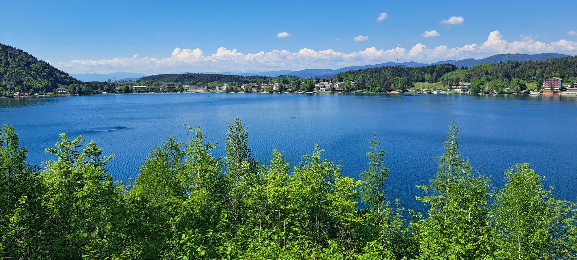
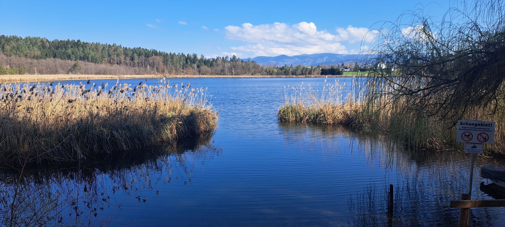
The route continues via Kleinsee lake to Klopeiner See lake, one of the warmest bathing lakes in Europe. Here you can take a long break or a dip in the turquoise water.
The return route leads back towards the Drau and via Grafenstein back to Klagenfurt. The combination of river landscape, waterfall, lakes and southern panorama makes this route one of the most varied tours in southern Carinthia.
Start station: Klagenfurt am Wörthersee / Finish station: Klagenfurt am Wörthersee
Bike rental station: Tourist information Klagenfurt, Neuer Platz 5, 9020 Klagenfurt a. W., +43 463 287463


Klagenfurt am Wörthersee train station
4
You should plan some time for the detour to the Wildenstein waterfall - the short walk leads to one of Carinthia's most impressive natural monuments. A swimming break at Lake Klopeiner See is the ideal way to round off the tour.
Kamery internetowe z trasy
-
Klagenfurt am Wörthersee / Neuer Platz
-
Klagenfurt am Wörthersee
-
Golfpark Klopeiner See - Südkärnten
-
Strandbad Klagenfurt
-
Klagenfurt, St. Peter
-
Unterburg am Klopeiner See
-
Schloss Loretto
-
Klagenfurt am Wörthersee - Domplatz
-
Köttmannsdorf - Plöschenberg
-
Radsberg
-
Turnersee - Ilsenhof
-
Ferlach
-
Turnersee
-
Klagenfurt Sternwarte
-
Strandbad Klagenfurt
-
Klopeiner See - Hotel Sonne
-
Turnersee
-
Kitzelberg - Klopeiner See
Uzyskaj wgląd
Zawsze na żywo z ponad 9 500 kamer internetowych. bergfex Jako użytkownik Pro, możesz teraz zobaczyć odpowiednie kamery internetowe dla wielu wycieczek w aplikacji wycieczki od. Pozwala to na bezpośredni podgląd aktualnych warunków.
Popularne wycieczki w okolicy
-
4,6
Bad Eisenkappel: Hochobir
Wędrówka 5,50 km -
4,5
Slow Trail Kitzelberg, Klopeiner See
średniWędrówka 6,82 km -
4,9
Koschlak Klettersteig BC, D
średniVia ferrata 2,60 km -
4,9
Eisenkappler Hütte - Hochobir
średniWędrówka 8,86 km -
4,2
6-lake cycle tour in southern Carinthia
średniJazda na rowerze 53,8 km -
4,4
Wandertour Hochobir / Zell
średniWędrówka 5,76 km -
4,3
Klopeiner See route: "Promenade round"
światłoWędrówka 5,27 km -
4,3
Rundweg Schaidasattel - Hochobir
średniWędrówka 16,0 km -
3,8
From Zell-Pfarre to the Freiberg
ciężkiWędrówka 8,14 km -
4,9
Oistra, Eisenkappel,Kärnten
ciężkiWycieczki górskie 6,32 km

Wędrówki i tropienie


Nie przegap ofert i inspiracji na następne wakacje
Twój adres e-mail została dodana do listy mailingowej.





