


06 Hemmaweg - St. Georgen on the Längsee - Gurk

The sixth stage of the Hemmaweg leads from St. Georgen on the Längsee to Gurk and offers a varied hike through the heart of Carinthia. The route extends over about 20 kilometers and can be managed in around...
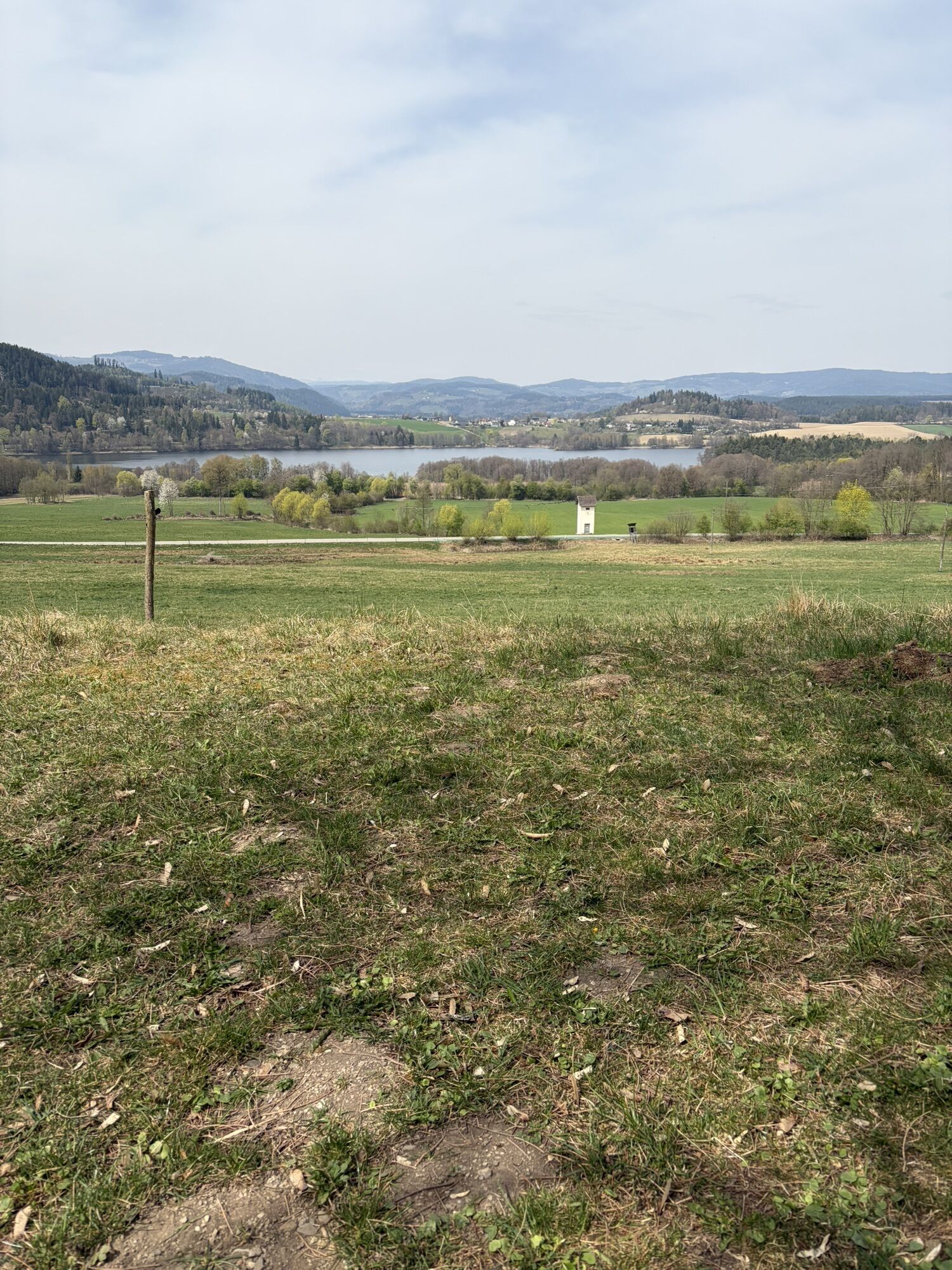
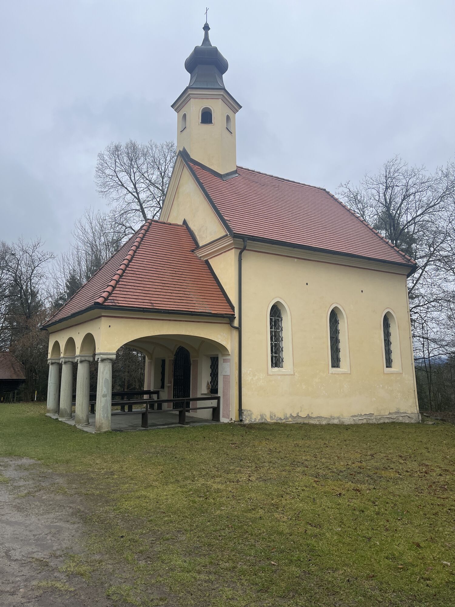
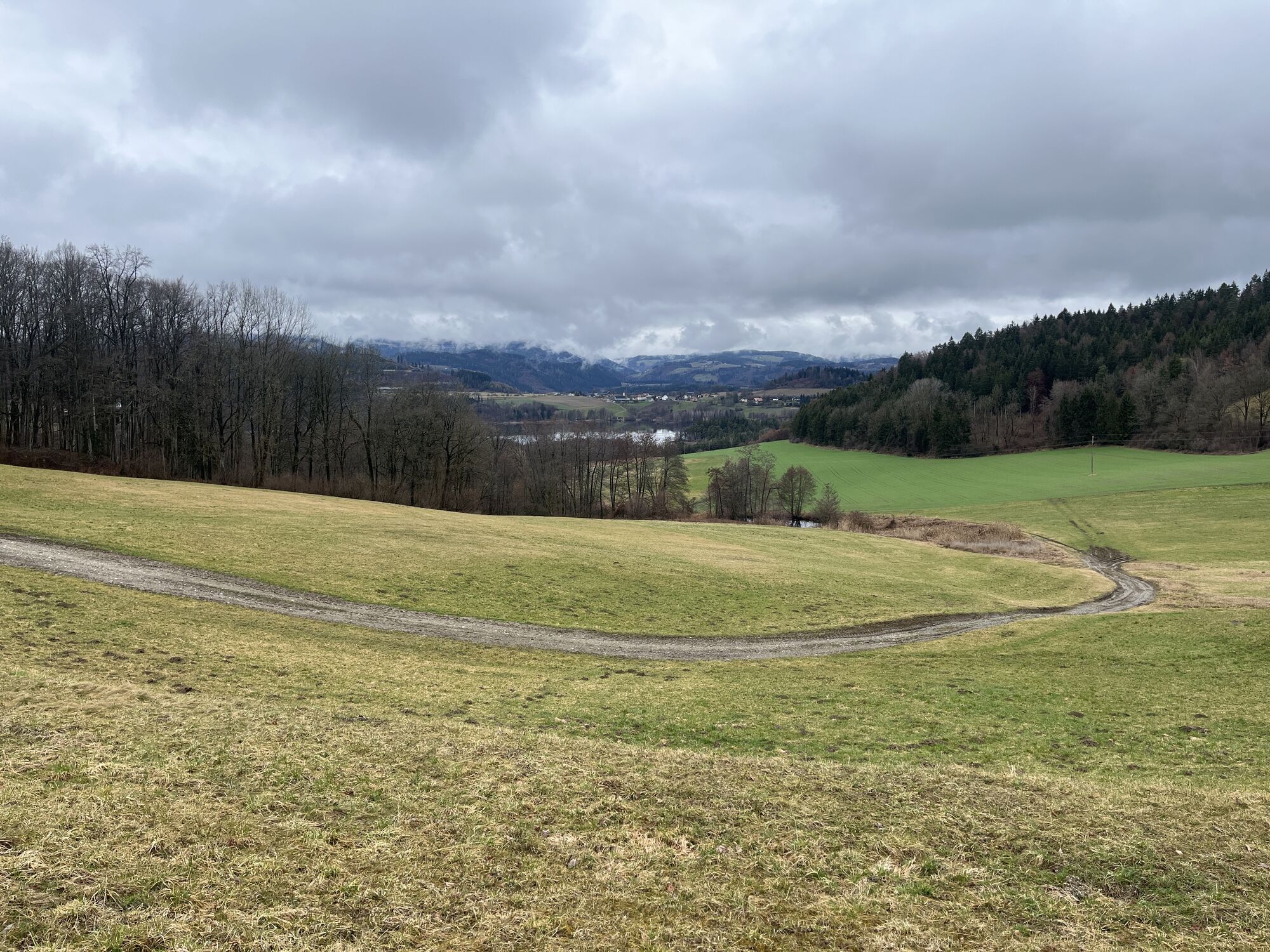
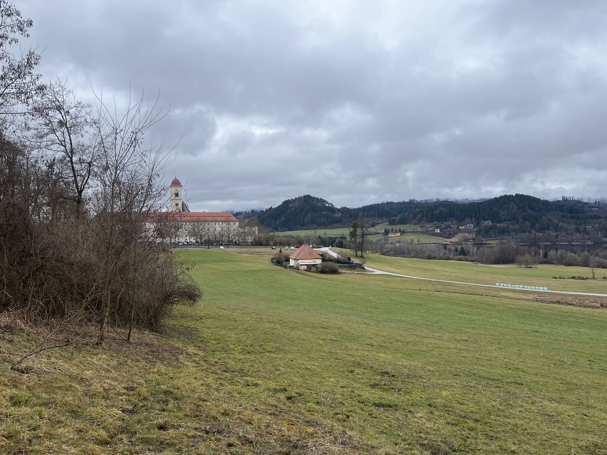
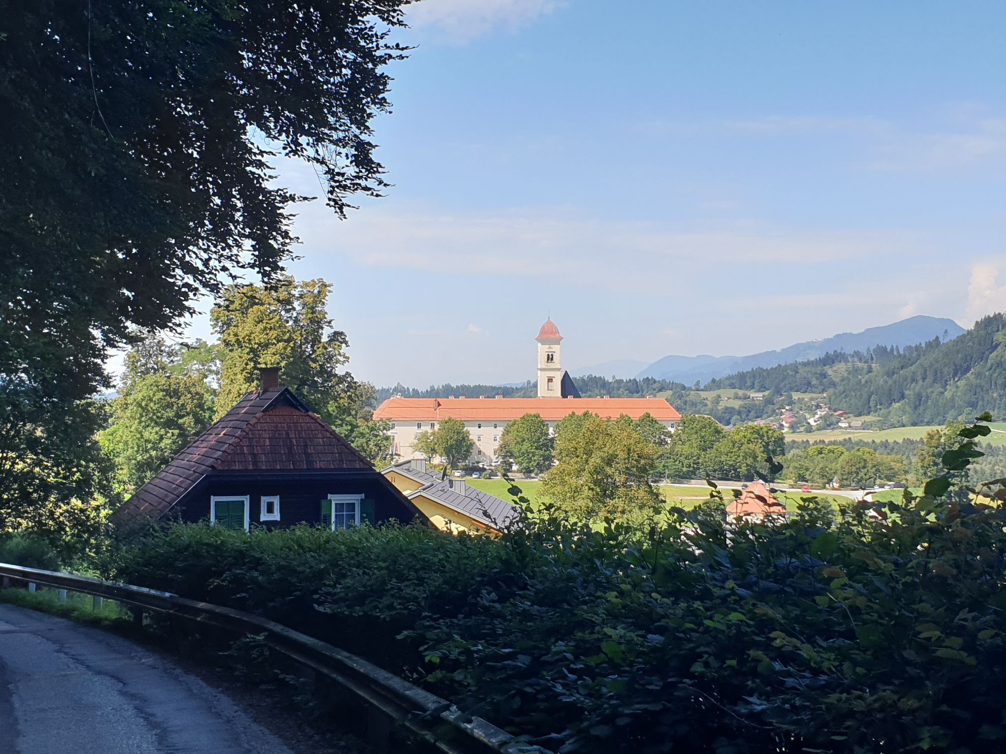
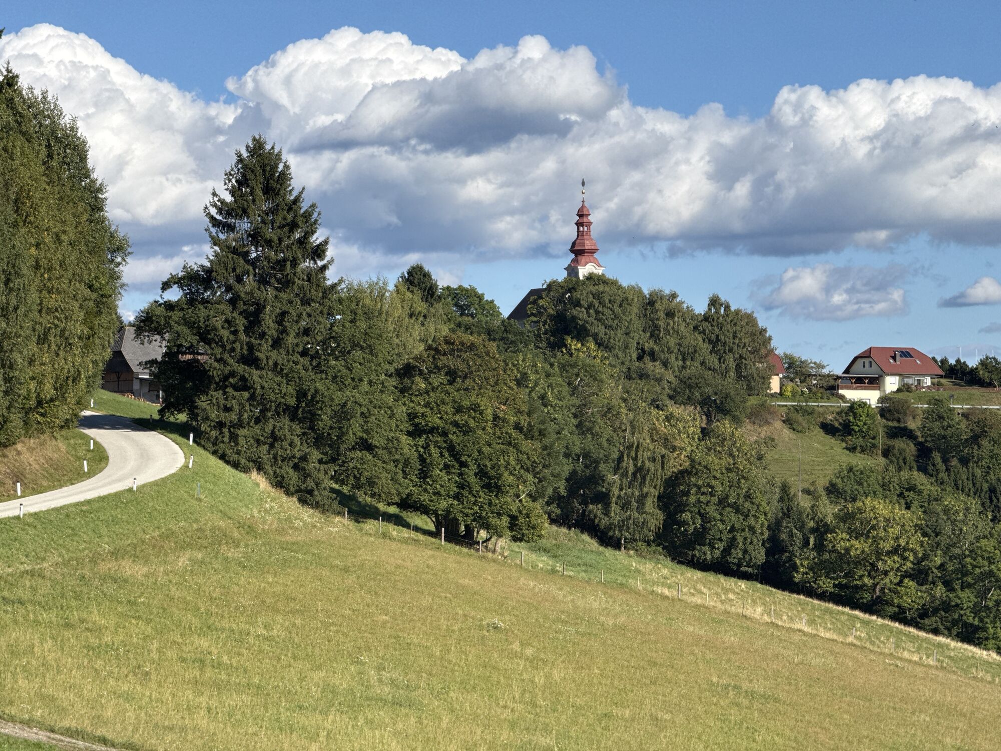
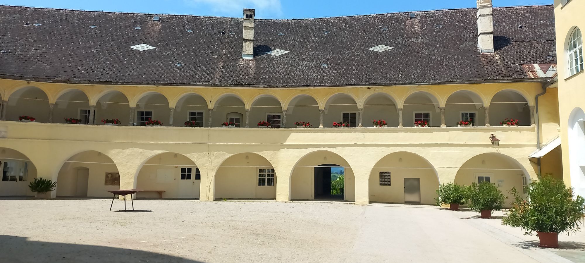
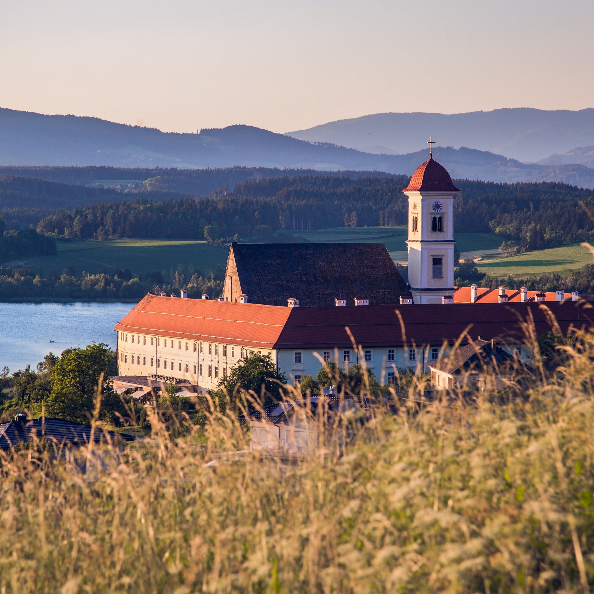
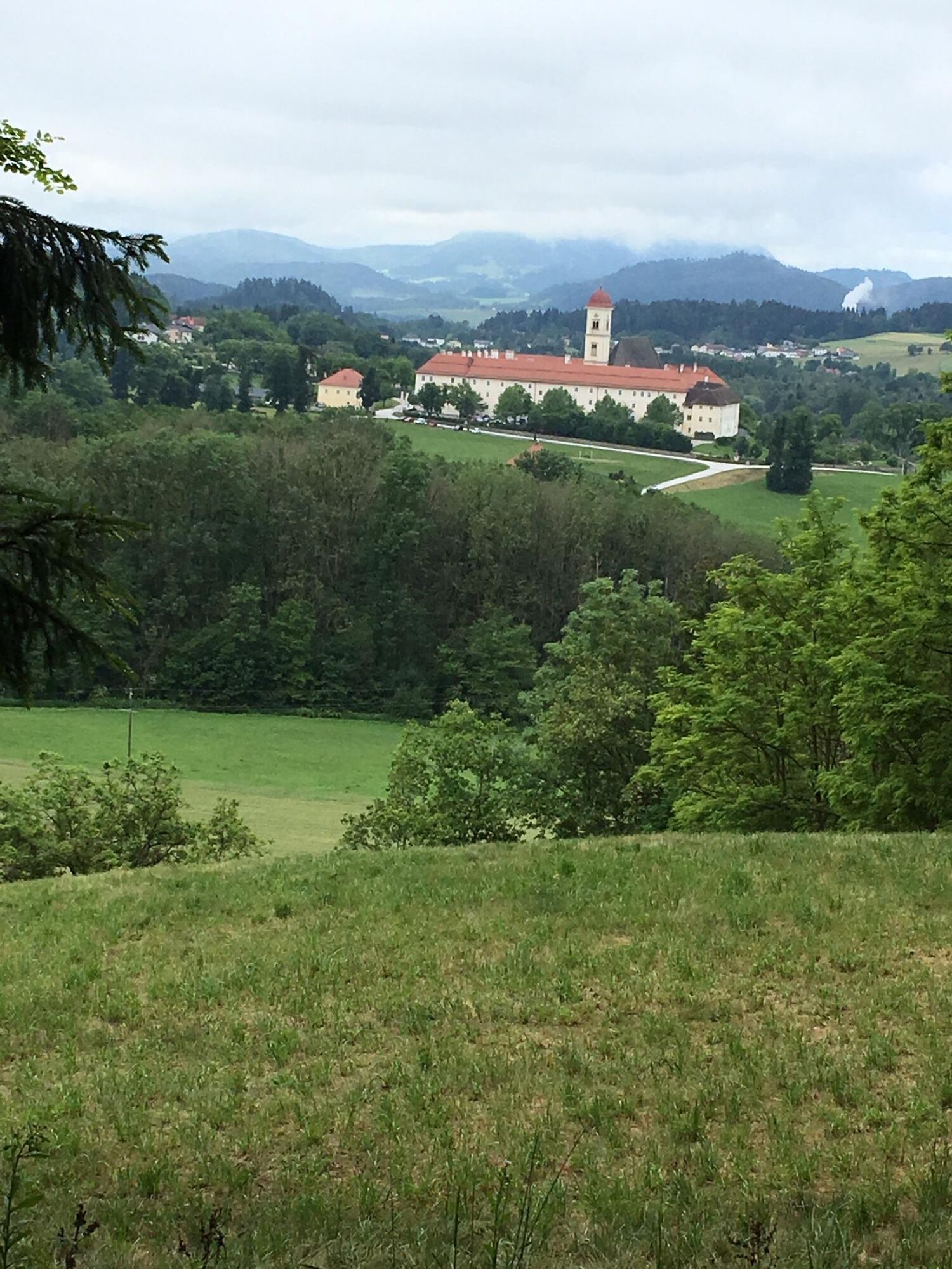
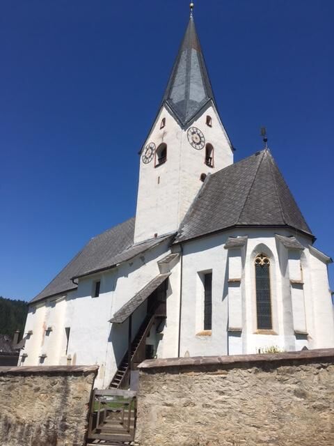
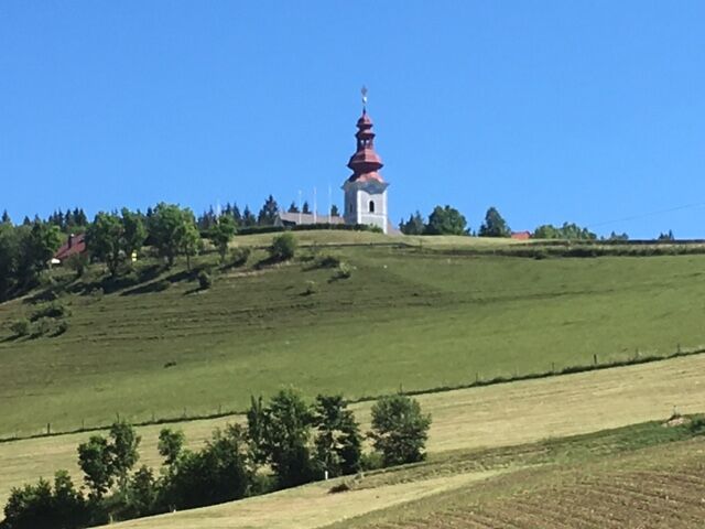
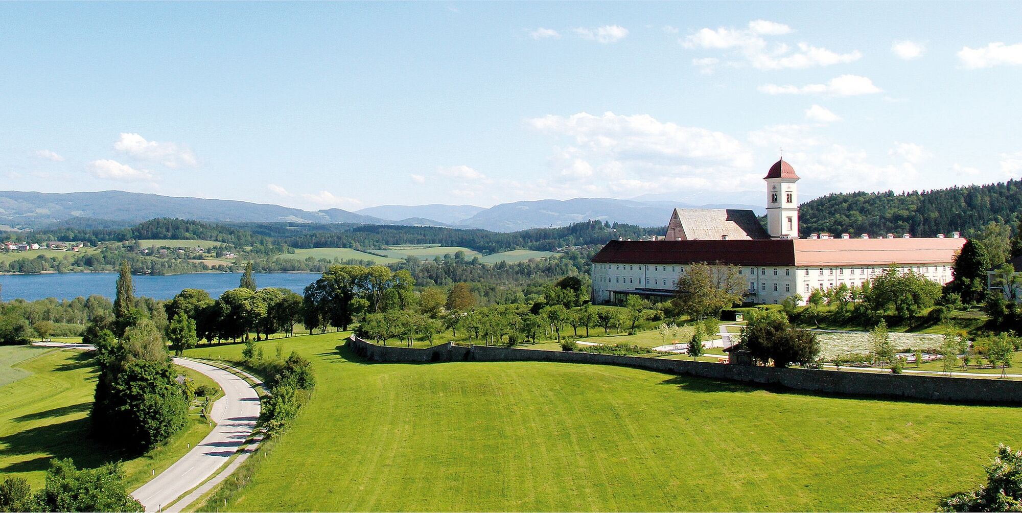
The sixth stage of the Hemmaweg leads from St. Georgen on the Längsee to Gurk and offers a varied hike through the heart of Carinthia. The route extends over about 20 kilometers and can be managed in around six hours. The starting point is the idyllic Längsee, which invites you to linger with its clear water and surrounding forests. From there, the path leads through gentle hilly landscapes and picturesque villages reflecting the charm of the region. Along the way, a detour to St. Georgen Abbey, an impressive monastery with a long history, is possible. It continues through dense forests and along small streams that provide refreshment. The path gradually rises before descending into the Gurktal. The highlight of the stage is the arrival in Gurk, where the imposing Gurk Cathedral with its Romanesque frescoes and impressive crypt awaits the hikers.

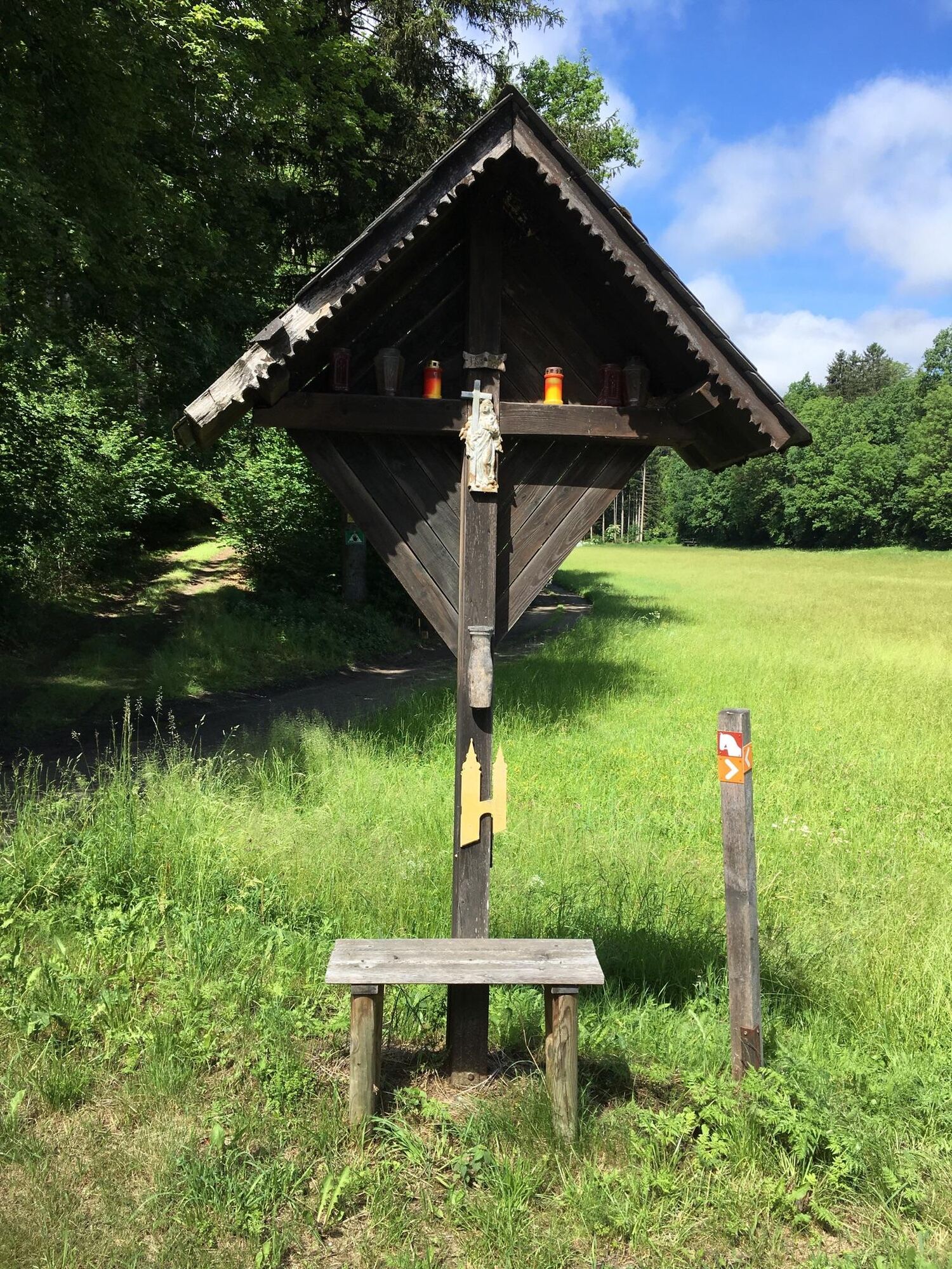
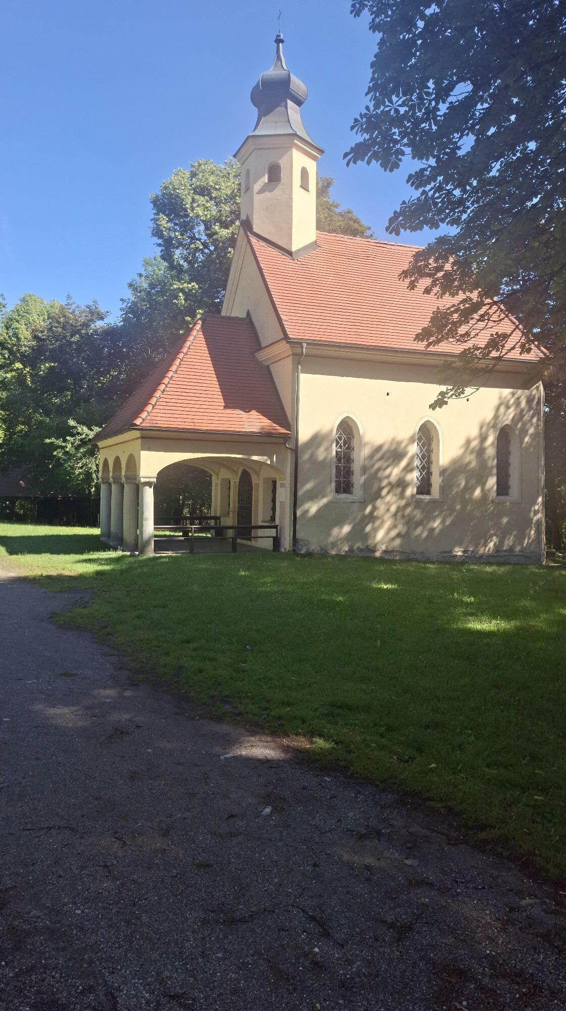
From St. Geogen Abbey, the route goes through a beautiful avenue to Rottenstein and further to Drasendorf. Then you walk on paved roads and afterwards on forest paths to the pilgrimage church Maria Wolschart. Unfortunately, the inn is only sporadically open on weekends. Behind the chapel, a hollow way leads slightly downhill to the country road that leads out of the Wolschart forest. You reach the B83 (there is no marking here), which you follow and cross the B317 at an underpass. Then continue right along cycle path R7 to the Gaminger Kreuz. The path leads north towards Gaming. There you cross the road (again no signage) and continue uphill past the houses. Follow the forest path further towards Meiselding, then reach the L66. Then immediately right on a hiking trail further to Meiselding. Below the church, you go to the elementary school and come after about 200 m to the state road. Here keep right and follow the state road towards Mölbling until after about 200 m you reach the turnoff towards Gunzenberg. Now you go uphill on the paved road. After about 4 km you reach Graschitz, then it is about 1.5 km more to Gunzenberg. From Gunzenberg, follow the state road for about 1.5 km. At a crossroads, turn left onto a country road, follow it for 1 km and then turn right onto a narrow path. You now follow the Gurktal high trail, past the small chapel in Flatt. It continues through a shady road in the forest heading west. At Lugermannkreuz, turn right to the north – here begins the descent to Gurk.
Tak
Sturdy footwear and weather-appropriate clothing
Inform someone where you are going and when you will be back
see route planner
see Oebb route planner
Parking possibility
available at the information office
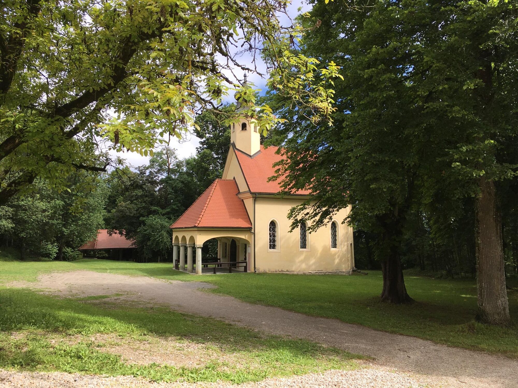
St. Georgen Abbey on the Längsee
Popularne wycieczki w okolicy
-
4,8
Abenteuer-Wasser-Weg
średniWędrówka 9,13 km -
4,7
Vierbergelauf
średniTrasa pielgrzymki 47,6 km -
4,3
Mariahilferweg
średniWędrówka 11,2 km -
3,6
Kunstwanderweg rund um den Längsee (1)
światłoWędrówka 5,43 km -
4,1
MAGDALENSBERG RUNDWANDERUNG
średniWędrówka 11,7 km -
4,4
Magdalensberg von St.Donat
światłoWędrówka 9,28 km -
3,8
Schloss Frauenstein - Kraiger lake circular route
światłoWędrówka 6,96 km -
4,5
Burgenwanderweg Friesach
światłoWędrówka 5,21 km -
4,1
Althofen Wald Ausichtsweg
światłoWędrówka 3,94 km -
4,0
Around the Buchberg (6)
średniWędrówka 8,79 km

Wędrówki i tropienie


Nie przegap ofert i inspiracji na następne wakacje
Twój adres e-mail została dodana do listy mailingowej.