







MTB 1 - Feldalm circular route - Reichenfels

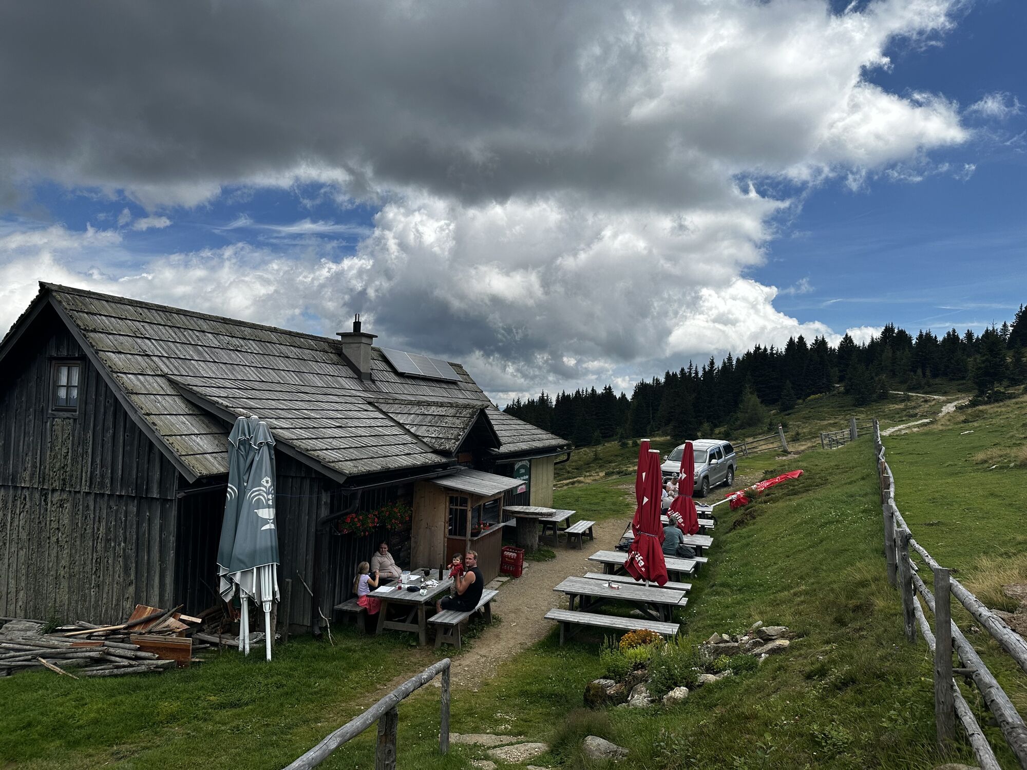
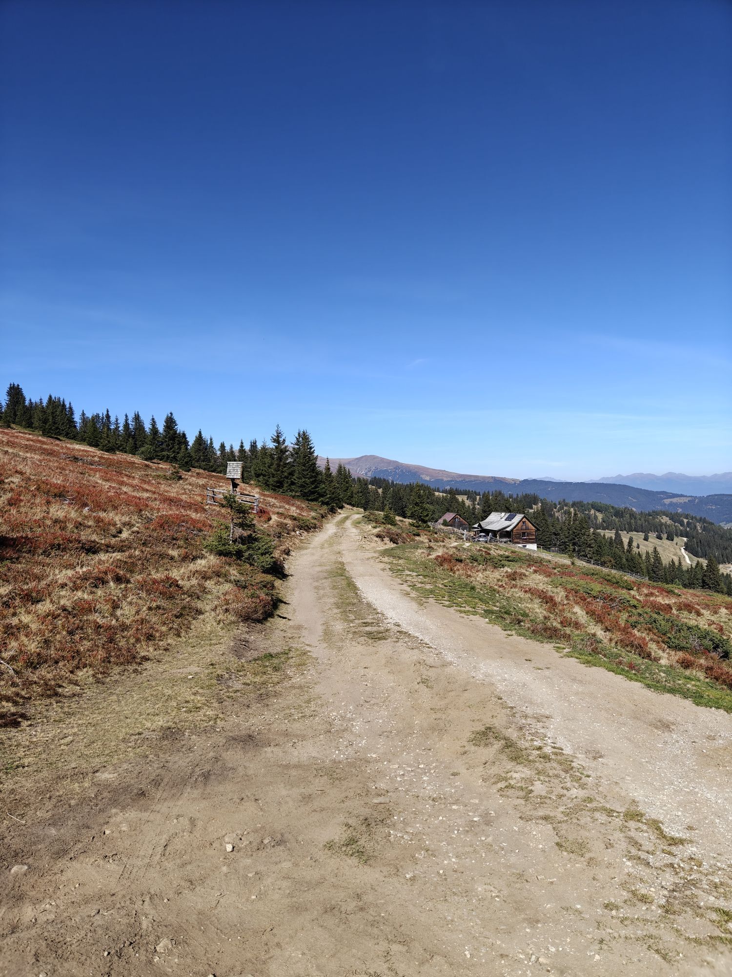
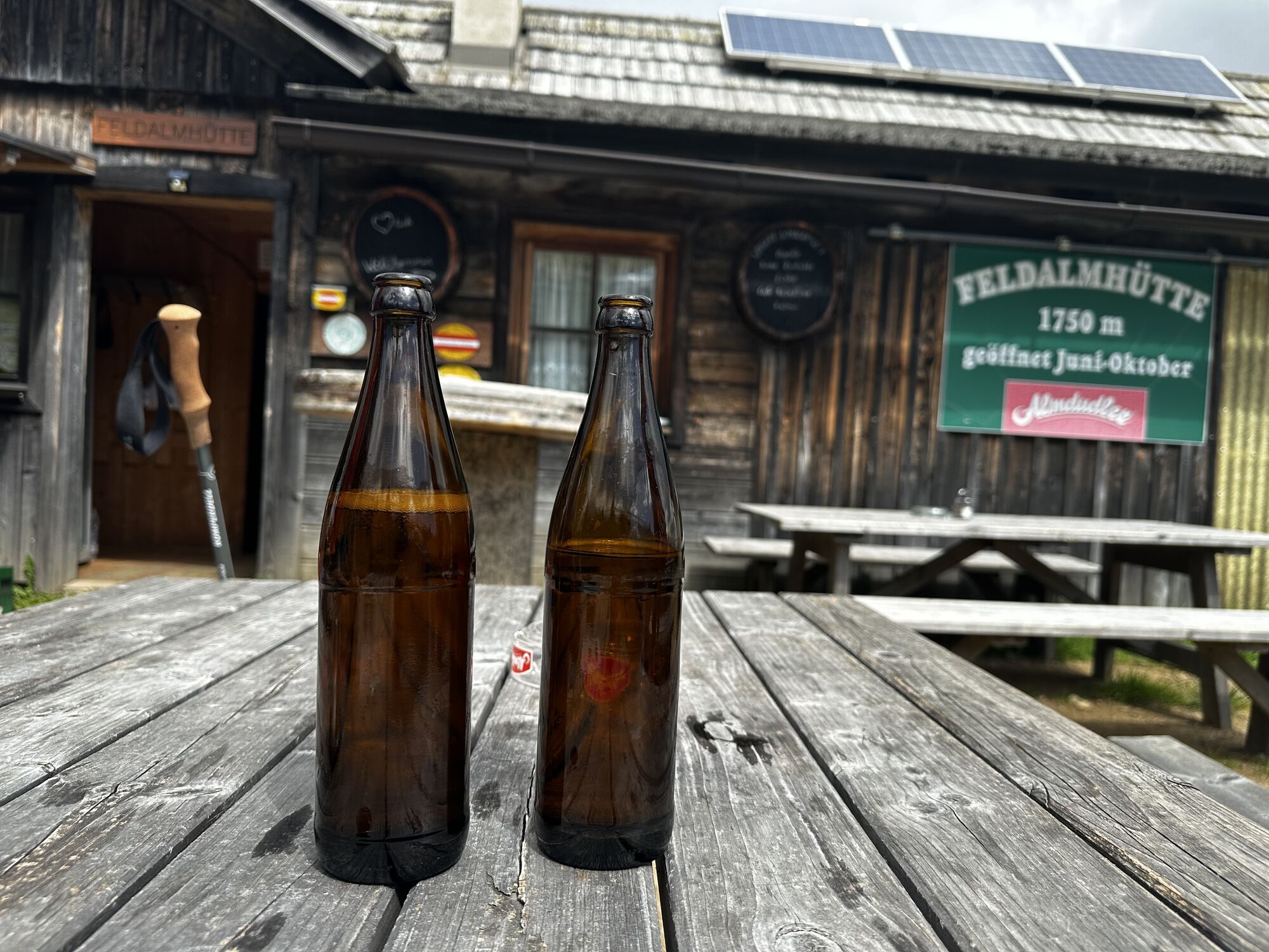
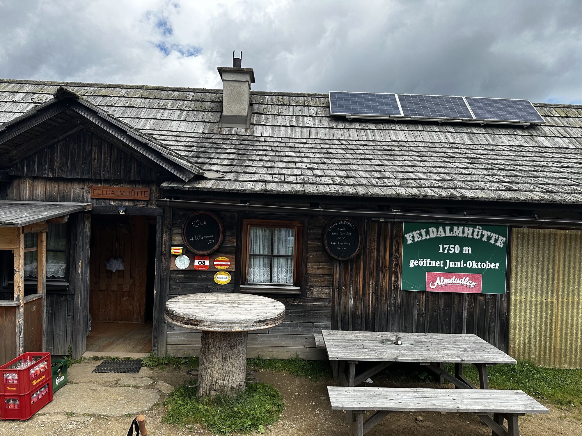
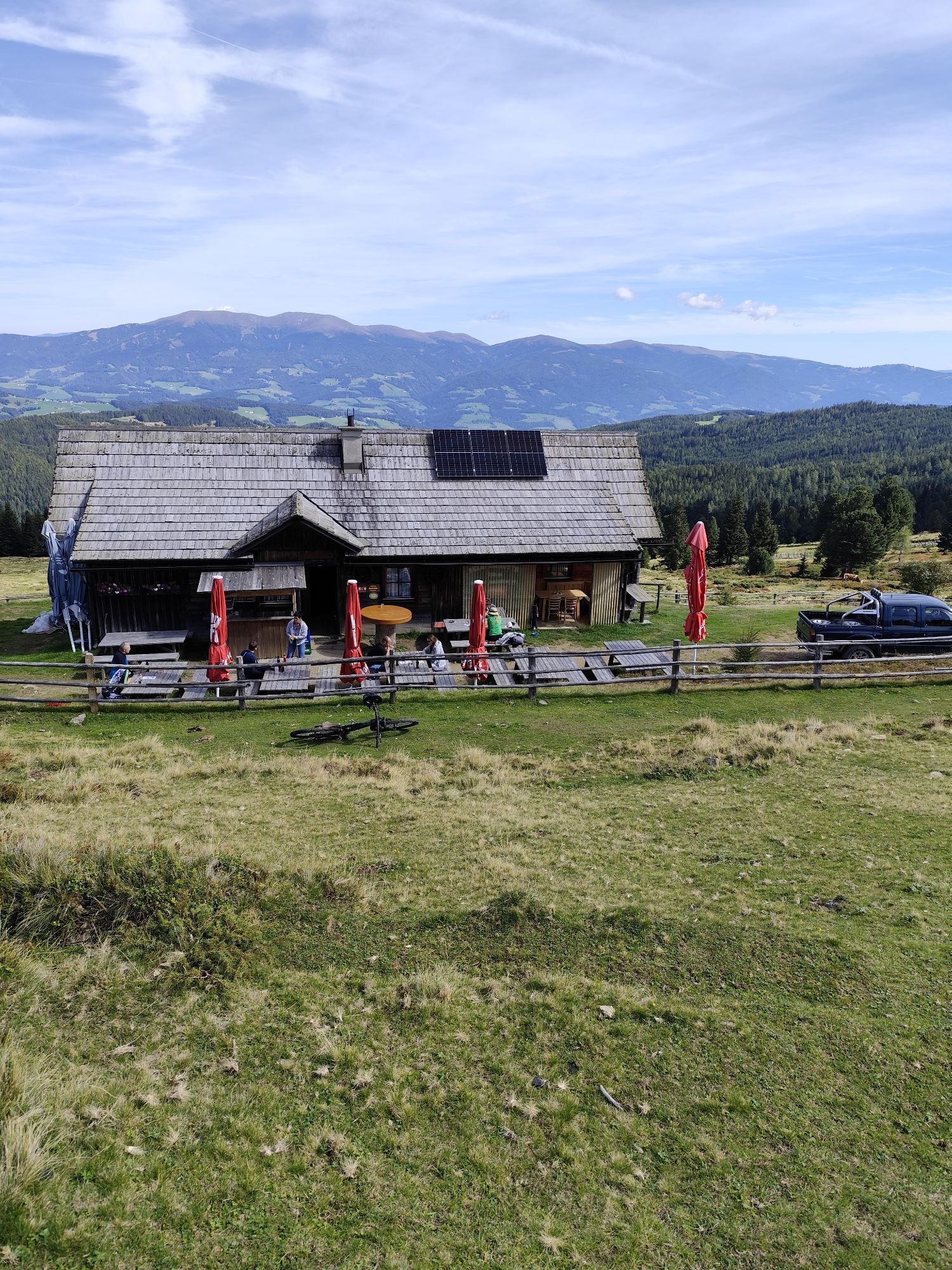
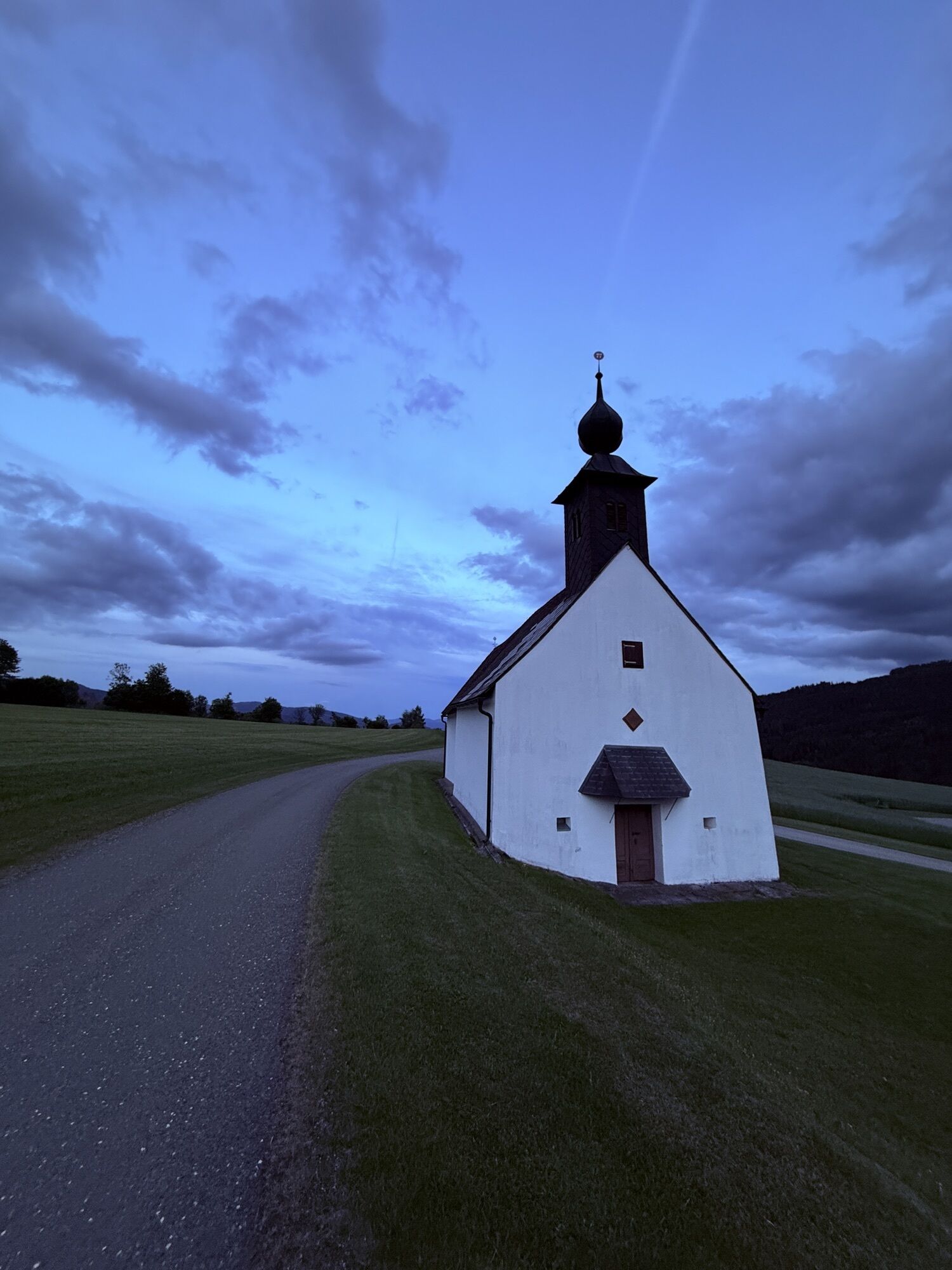
The MTB route starts in Reichenfels, continues via Schlanderkogel to the Feldalm hut at 1750 m. After a break at the rustic Feldalm hut, it goes via the small mining village Sommerau back to the starting...
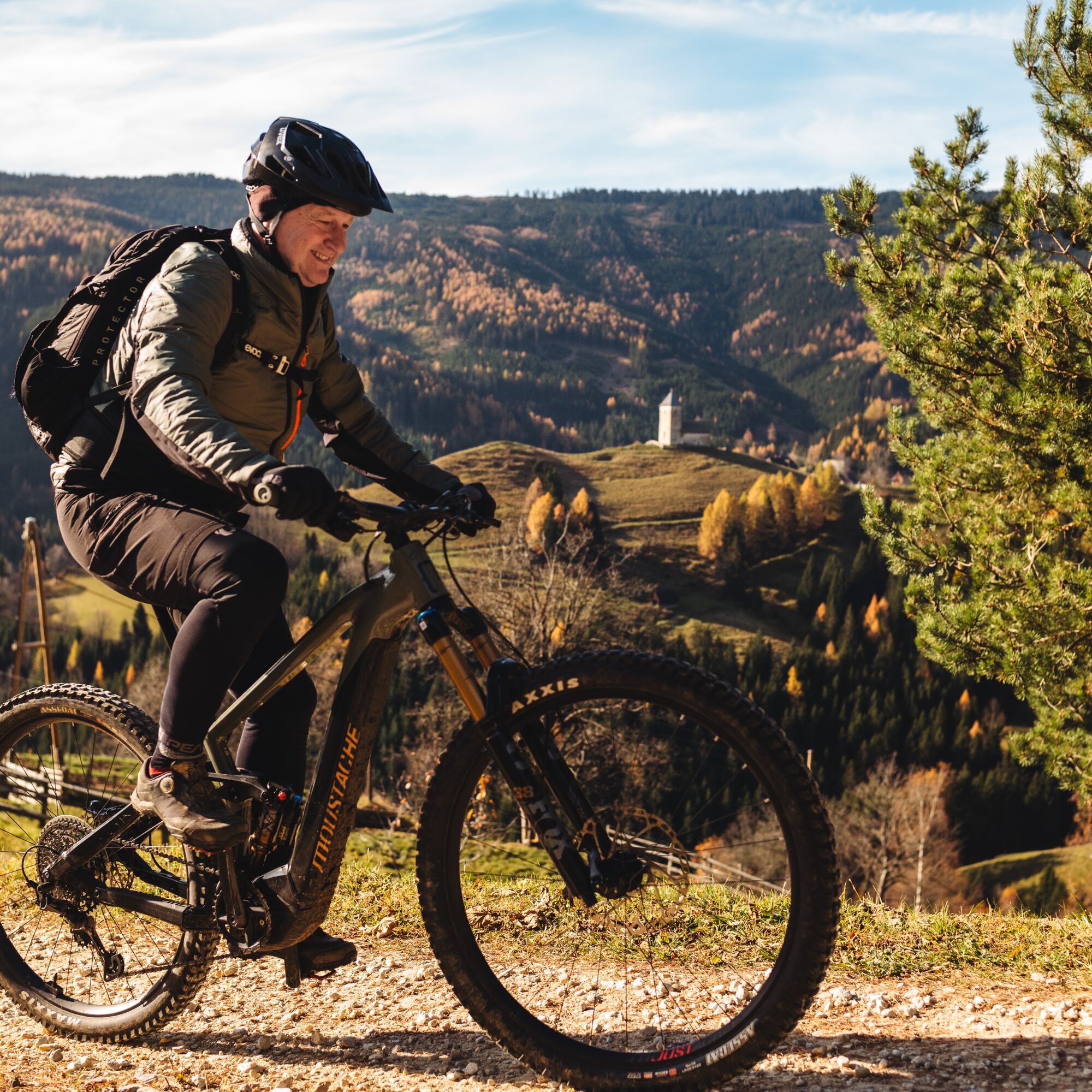
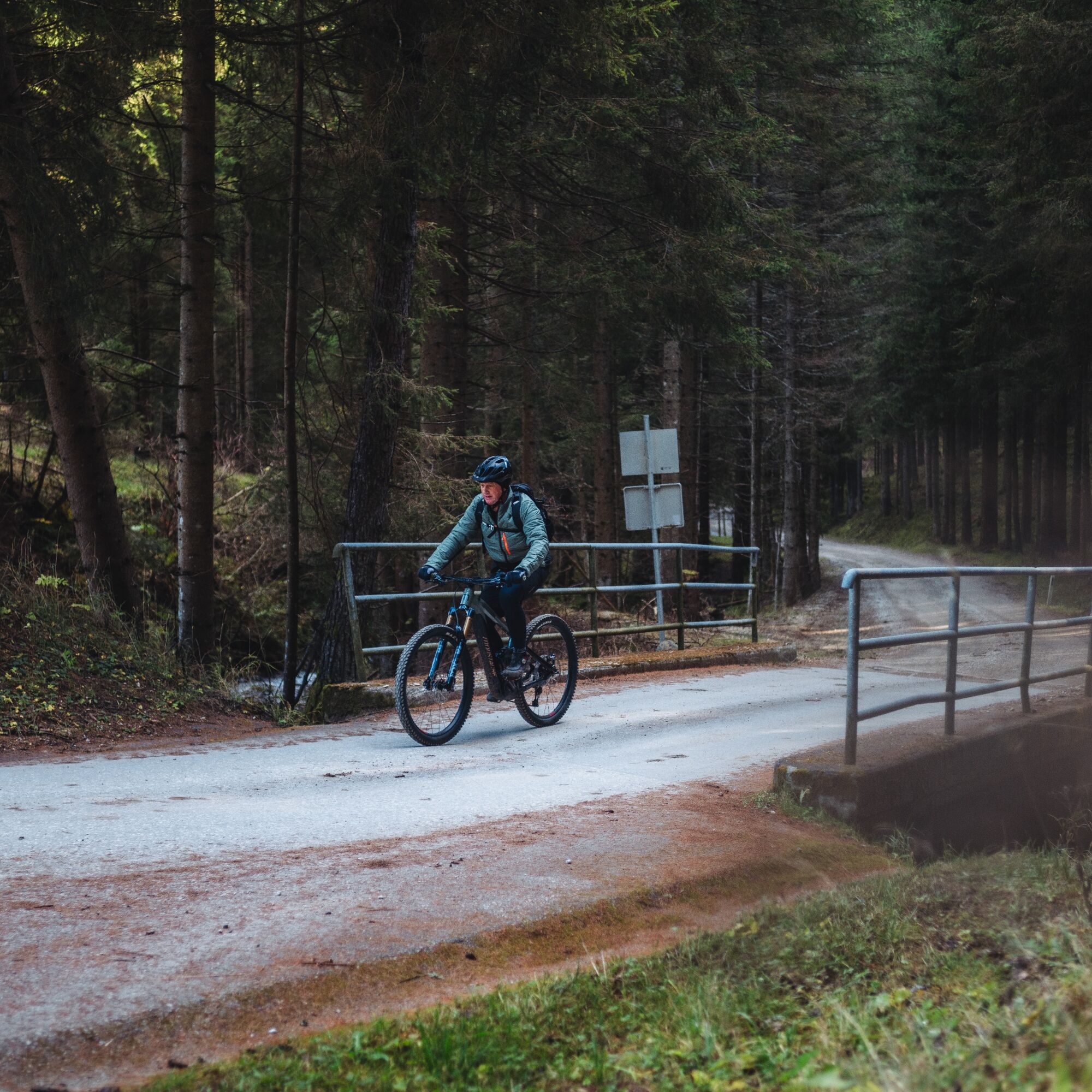
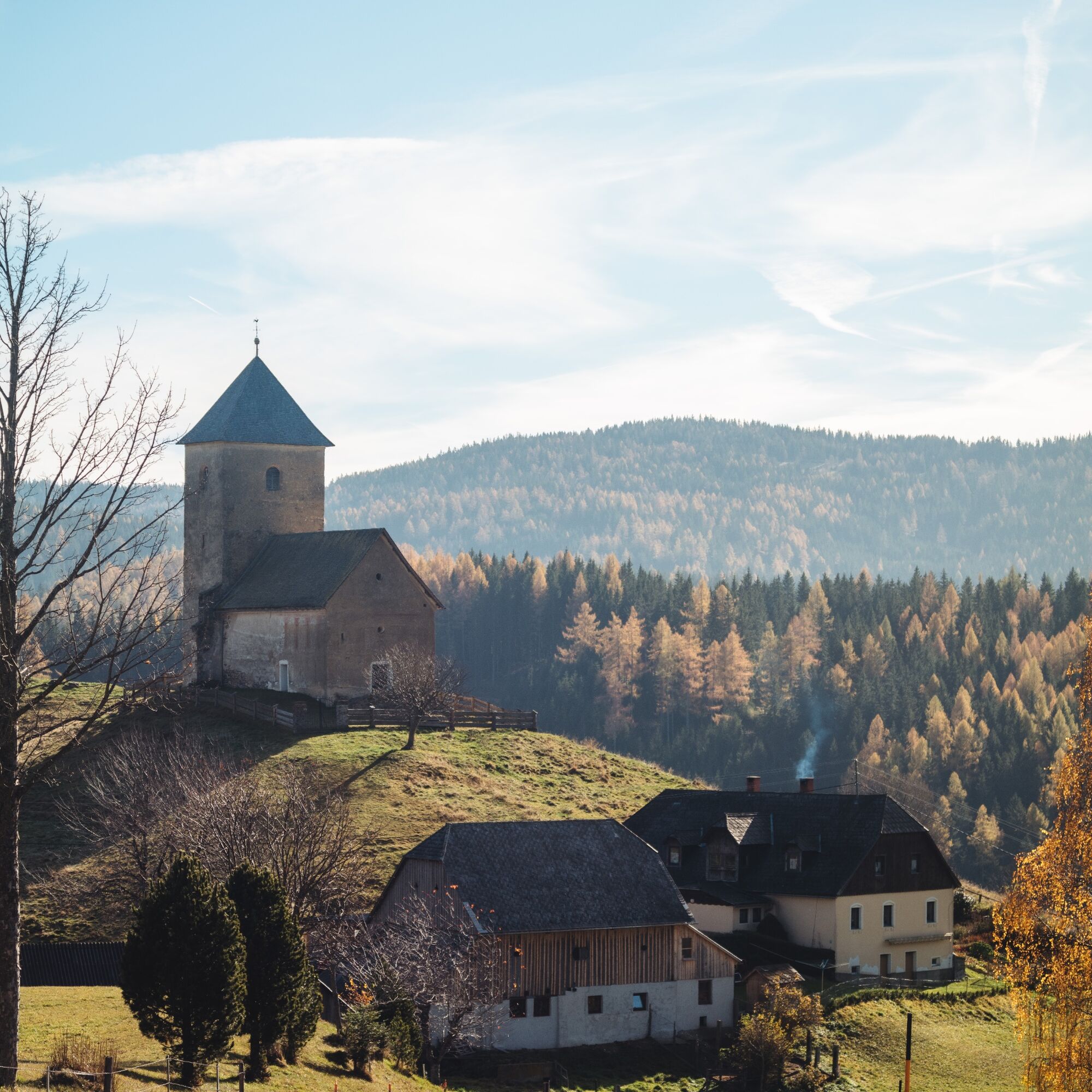

A helmet is a matter of course when mountain biking.
Proper clothing!
Carry warm clothing and a spare jersey even in summer, especially in the pre- and post-season. In higher elevations, bad weather without rain protection is uncomfortable.
Carry emergency equipment!
Always have a first aid kit, bike repair kit (spare tube, pump, tools), map, mobile phone, and possibly GPS (note: reception is not guaranteed everywhere in the mountains).
Drink constantly & eat on time!
Drink enough and plan a stop in good time. A hunger break in the middle of nowhere is tough.
Always ride defensively and only as fast as you can stop safely before obstacles or avoid oncoming traffic. Always be alert. Cool is the one who passes pedestrians and hikers slowly.
Proper self-assessment!
Do not overstrain yourself or your companions. Plan reserves. A defect before the last mountain or bad weather saps endurance and morale.
Start early!
Especially in the pre- and post-season, ensure you reach your daily goal well before dark and plan reserves.
Bad weather in the mountains!
If bad weather approaches, quickly leave higher elevations (descent or turn back)! With the bike, you can quickly reach the starting point or the valley again. Consider the possibility of snowfall. Impassable route sections! If obstacles appear on the route (snow, mudslide, windfall, etc.), make sure you can get through safely. Never leave the marked trail! Turn back early if you do not feel safe!
Take the exit Bad St. Leonhard on the A2 motorway.
Accessible by bus.
ÖBB - Post timetable
Parking possible in the village.
Not far from Reichenfels, located on one of the seven well-signposted spring hiking trails , the water of the Kölzer Spring comes to light.

Kamery internetowe z trasy



Popularne wycieczki w okolicy
-
4,6
Zirbitzkogel-Runde über Lindersee
średniWędrówka 10,5 km -
4,6
Klippitztörl - Geierkogel loop trail no. G
średniWędrówka 6,79 km -
5,0
Rothaidehütte Runde Zirbitzkogel
średniWędrówka 6,17 km -
4,6
Bad St. Leonhard: L5 hike Kliening - Sauerbrun
średniWędrówka 9,49 km -
4,9
Zirbitzkogel, 2396m, von Winterleiten Hütte
średniWędrówka 10,5 km -
4,9
Zirbitzkogel Wildsee Rothaidehütte
średniWędrówka 15,4 km -
3,9
Vom Almidyll Sabathy (Sabathyhütte) auf den Zirbitzkogel
średniWędrówka 7,70 km -
4,7
Skitour Hohe Ranach
średniWycieczka narciarska 3,04 km -
4,8
Zirbitzkogel Waldheimhütte - Wildsee - Fuchskogel - Zirbitzkogel, Steiermark/Österreich
średniWędrówka 15,2 km -
4,8
Von der Sabathy über die Winterleiten auf den Zirbitzkogel
średniWędrówka 14,8 km
Wędrówki i tropienie


Nie przegap ofert i inspiracji na następne wakacje
Twój adres e-mail została dodana do listy mailingowej.





