


T02 Jumping Simon - Simonhöhe
Poziom trudności: S2
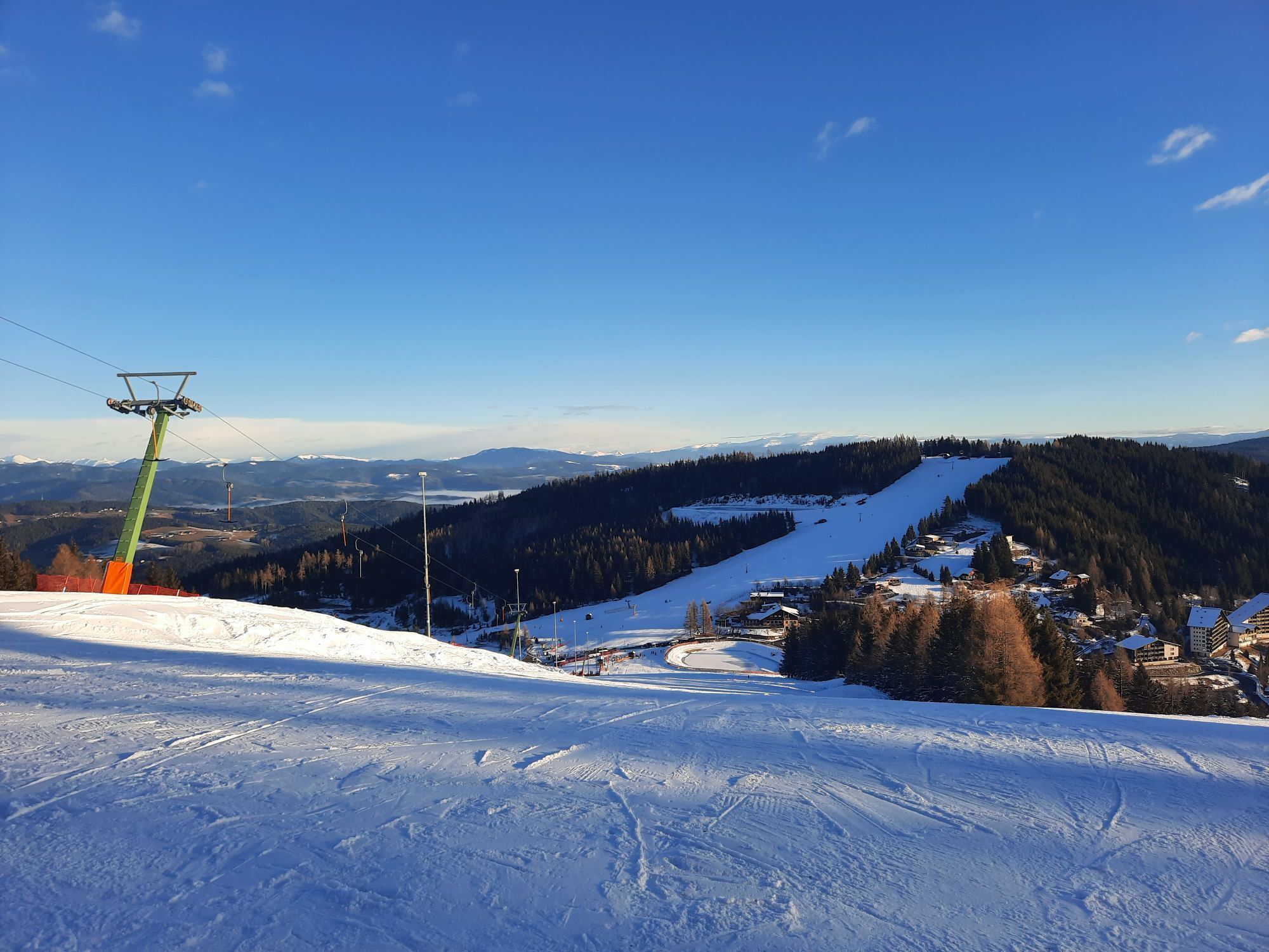
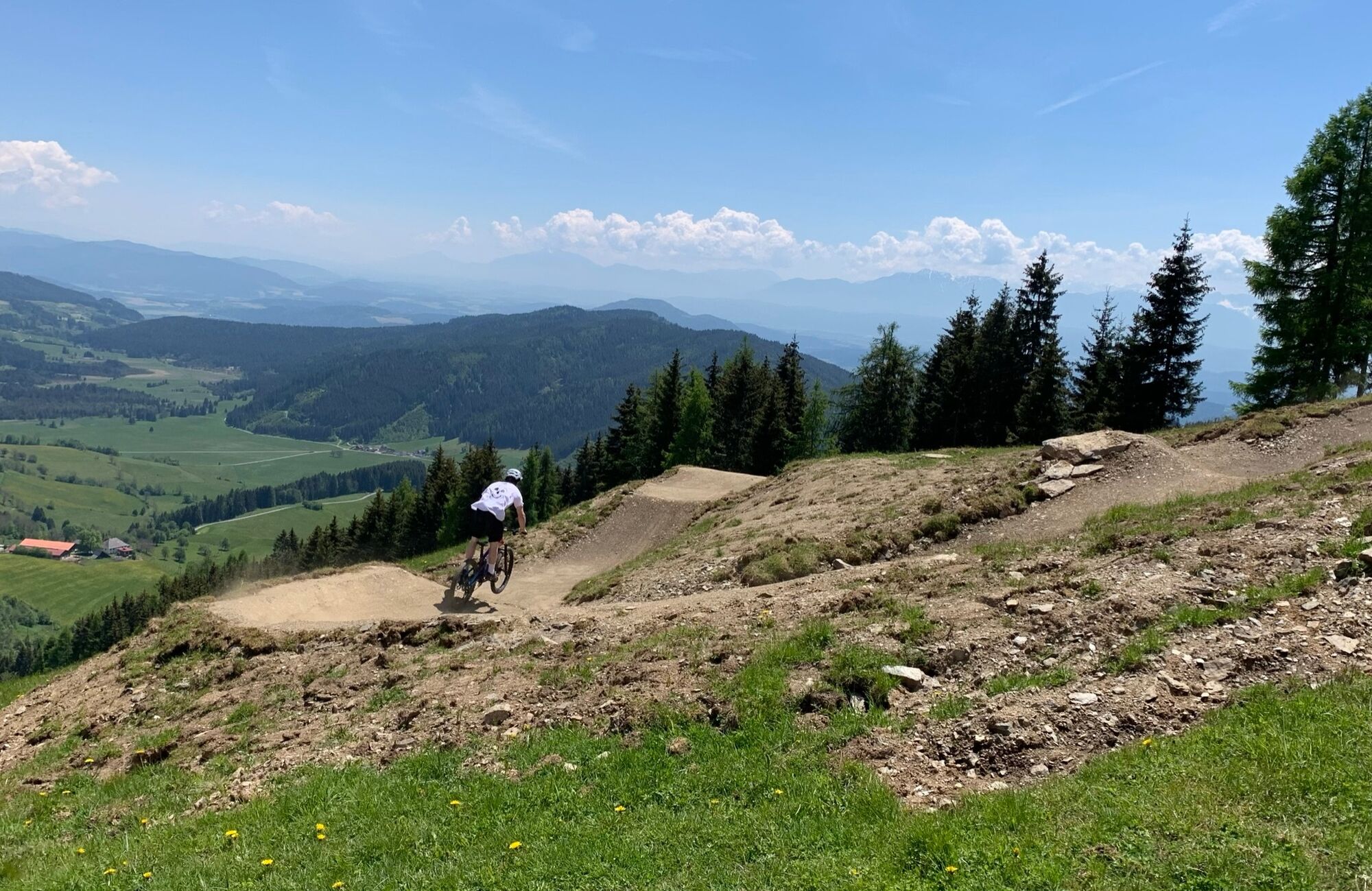
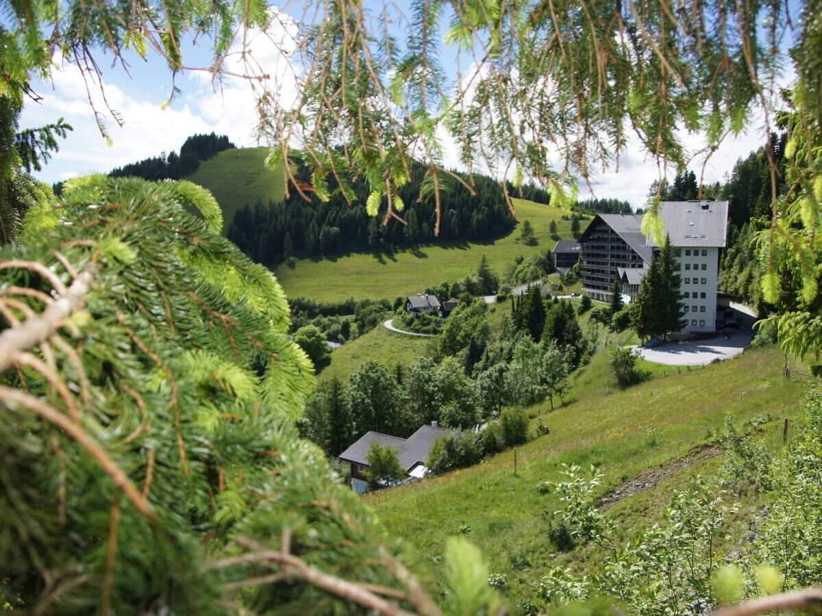
If you enjoy "airtime" and challenges with views of Klagenfurt and the Karawanks, Jumping Simon is perfect for you. Berms flow smoothly into jumps, step ups, shark fins, and other elements, offering airtime...
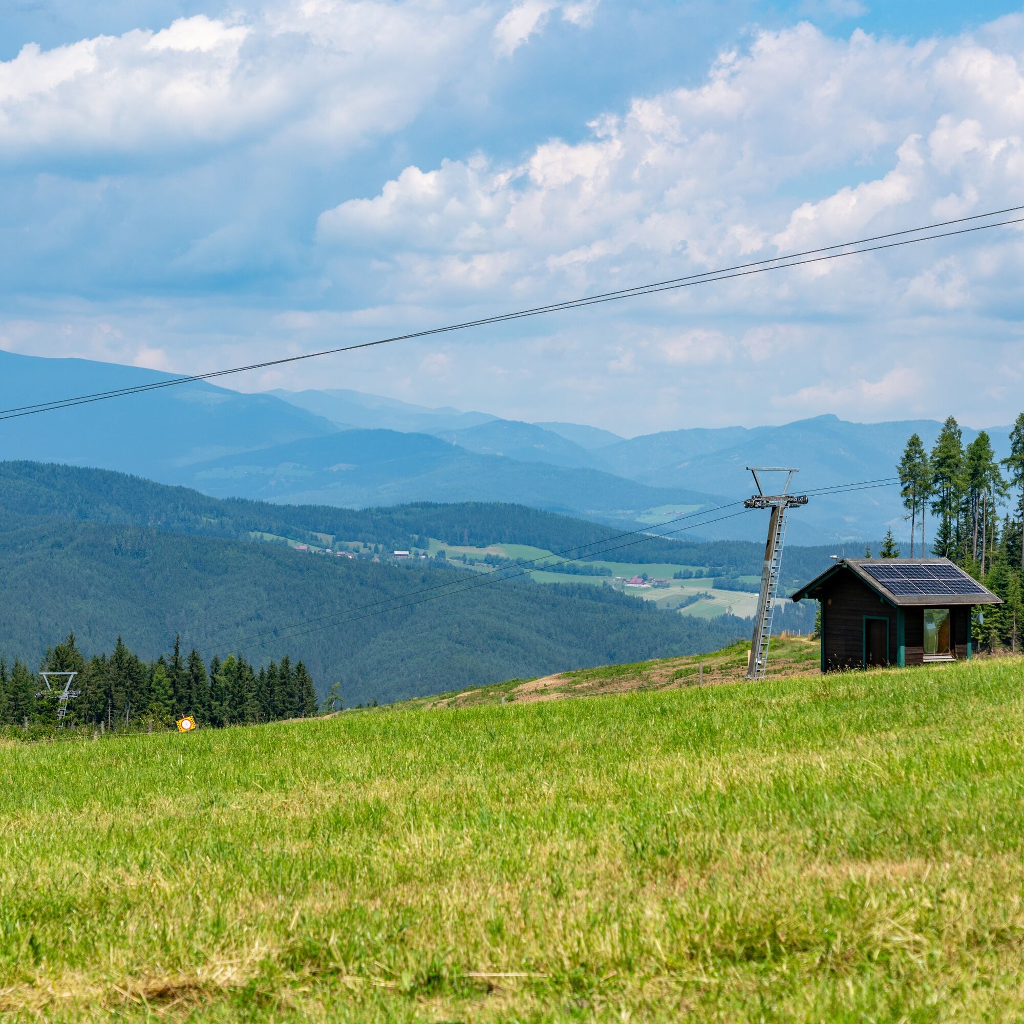
If you enjoy "airtime" and challenges with views of Klagenfurt and the Karawanks, Jumping Simon is perfect for you. Berms flow smoothly into jumps, step ups, shark fins, and other elements, offering airtime and a great photo spot at the summit of Hocheck at 1334m above sea level.
Warning! The lower section is very steep (old steep slope piste). Cautious approach and secure mastery of the bike and jumping technique are necessary! Only for advanced riders! Please categorize carefully into the T01 Simon's Flowtrail.
Average gradient 10.5%
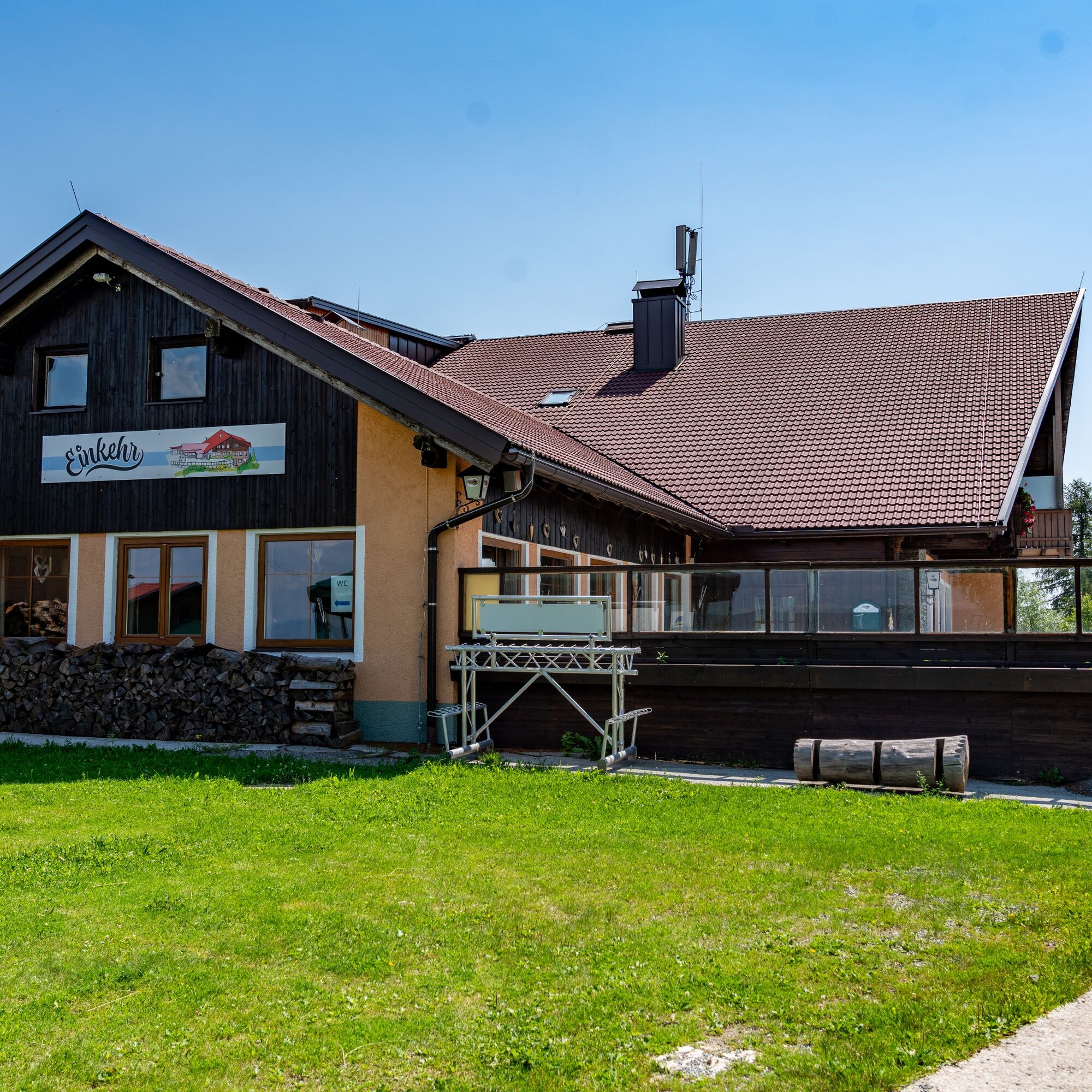
Trail use requires a fee.


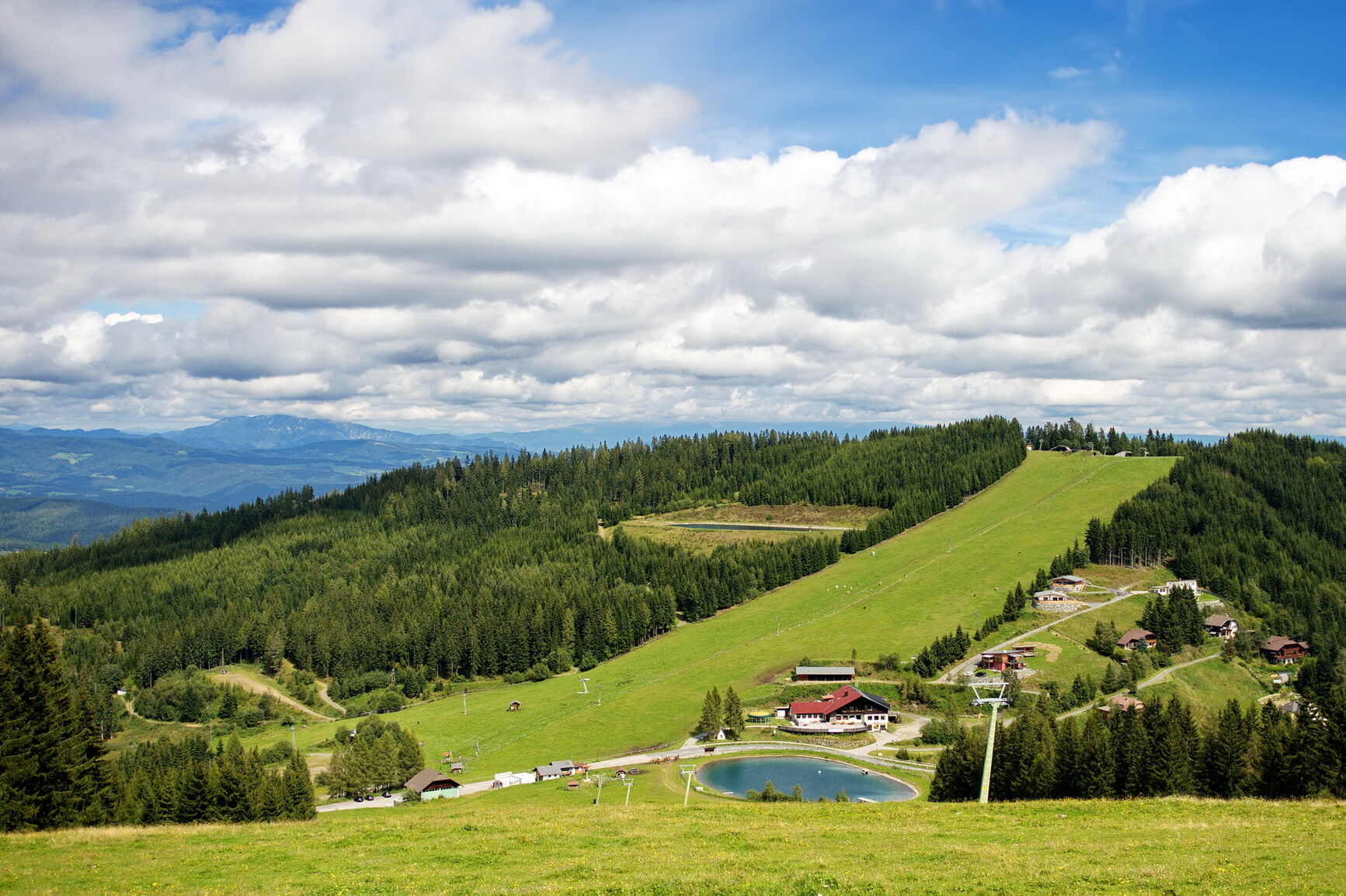
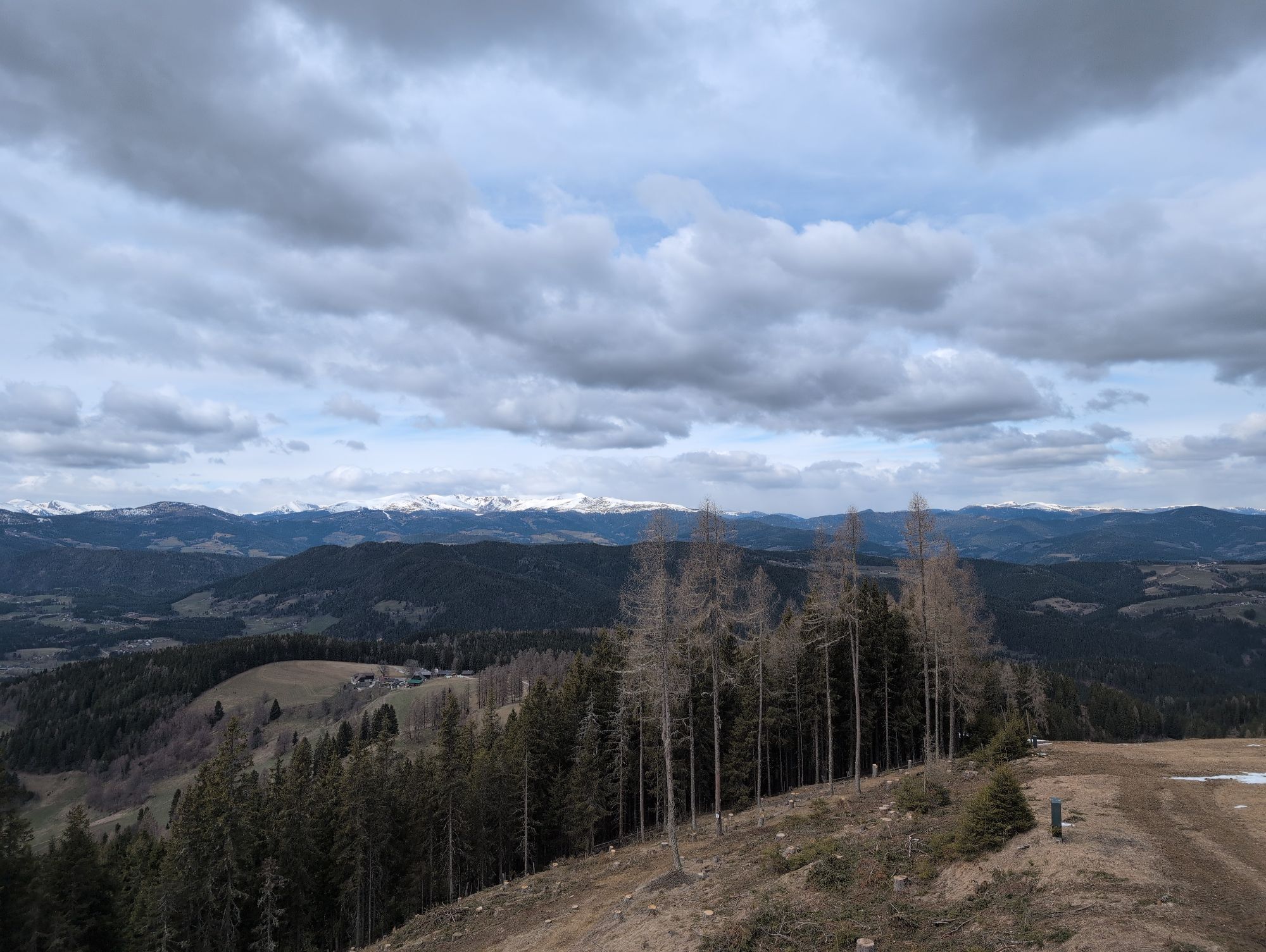
Starting section: The trail begins with a gentle ascent through dense forests and over picturesque clearings. Here riders can test their technique and fitness while enjoying the fresh forest air.
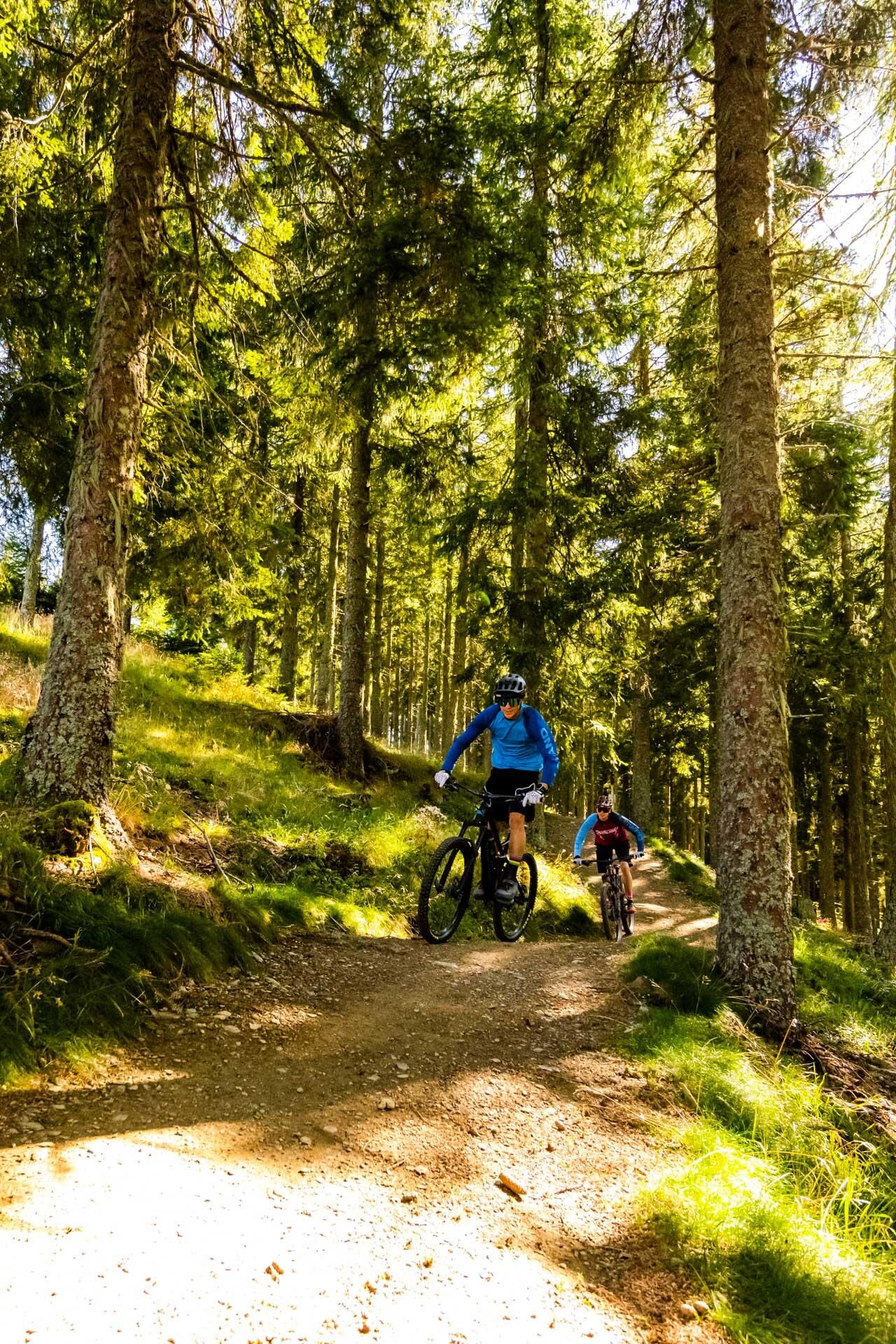
Middle section: The path becomes more challenging with steeper climbs and descents. Good riding technique and concentration are required here. The route is varied, with natural obstacles such as roots, stones, and small jumps.
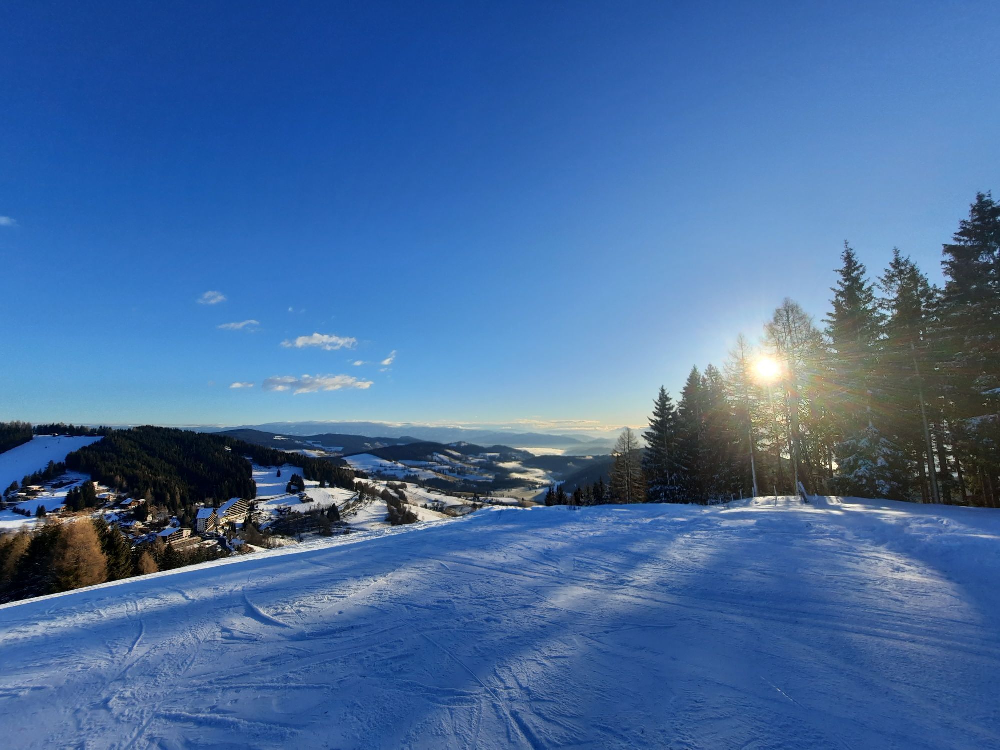
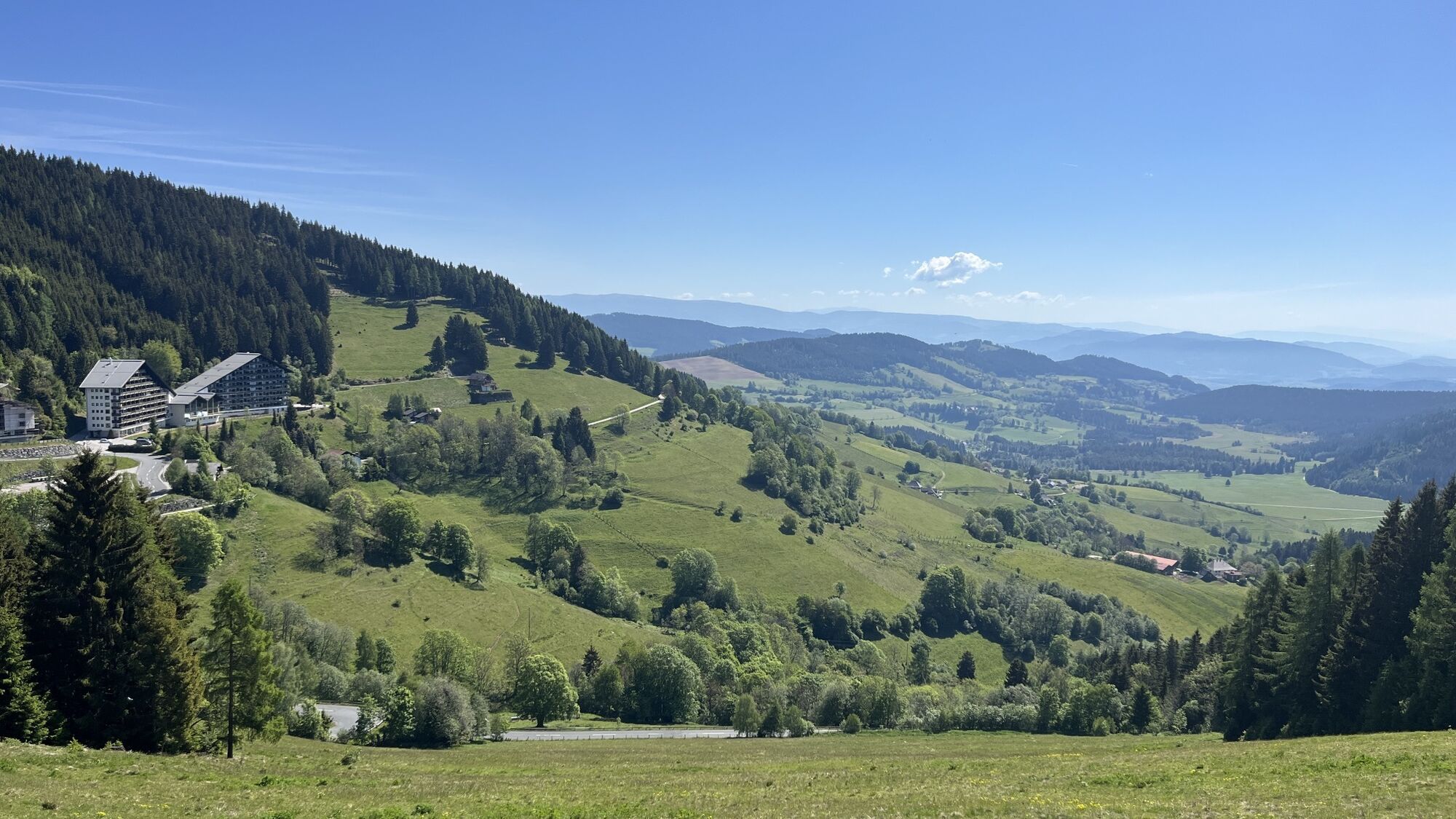
Final section: The last part of the trail leads through open meadows and offers some of the best views of the surrounding mountains and valleys. This part of the trail is faster and allows riders to increase their speed and enjoy the adrenaline rush.
Tak
Weather-appropriate clothing
Emergency rescue: 144
What happened? How many injured? Where did the accident happen? Who is reporting?Turn off the B94 onto Glantalstraße towards St. Urban, then continue via Simonhöhe street to the parking lot.
See ÖBB journey planner
https://fahrplan.oebb.at/webapp/#!P|TP!H|771979
Parking lot at Simonhöhe
https://www.google.com/maps/place/9554+Simonh%C3%B6he/@46.7753501,14.1648679,15z/data=!4m5!3m4!1s0x477065bafbc2b2ef:0x7010e47b0263d6b1!8m2!3d46.77588!4d14.1663712
S2
inform someone where you are going and when you will return
Enjoy the wonderful panoramic view.
Kamery internetowe z trasy
Popularne wycieczki w okolicy
- 4,8
Abenteuer-Wasser-Weg
średniWędrówka 9,13 km - 4,7
Vierbergelauf
średniTrasa pielgrzymki 47,6 km - 4,7
Hoher Gallin route
średniWędrówka 7,09 km - 4,1
Slow Trail Bleistätter Moor (Variant A)
światłoWędrówka 7,22 km - 4,5
Ulrichsberg
światłoWędrówka 5,60 km - 4,9
Slow Trail Maltschacher See - large loop
światłoTrasa tematyczna 7,04 km - 4,0
Schloss Frauenstein - Kraiger lake circular route
światłoWędrówka 6,96 km - 3,9
Natural spectacle Tiebel springs - Himmelberg
Wędrówka 9,84 km - 4,5
Wanderung Hoher Gallin lt. Feldkirchner Stadtplan Weg Nr. 4
średniWędrówka 10,9 km - 4,6
Vier Gipfel, ein Wanderhimmel - Himmelberg
Wędrówka 22,9 km
Wędrówki i tropienie


Nie przegap ofert i inspiracji na następne wakacje
Twój adres e-mail została dodana do listy mailingowej.