


History Trail Welleringhausen (quality route)
Along the circular route, information boards provide details about geological special features and the local history of the 1000-year-old village Welleringhausen. On the quality hiking trail, you can learn...
Along the circular route, information boards provide details about geological special features and the local history of the 1000-year-old village Welleringhausen. On the quality hiking trail, you can learn interesting facts, for example, about a deserted former Jewish settlement. Further details are offered by a flyer about the geo-trails.
Those wishing to delve deeper into the topic can take an excursion with Geopark guide Renate Hill, tel. 05632-1757.The volcano and history trail Welleringhausen consists of two thematically independent circular routes.
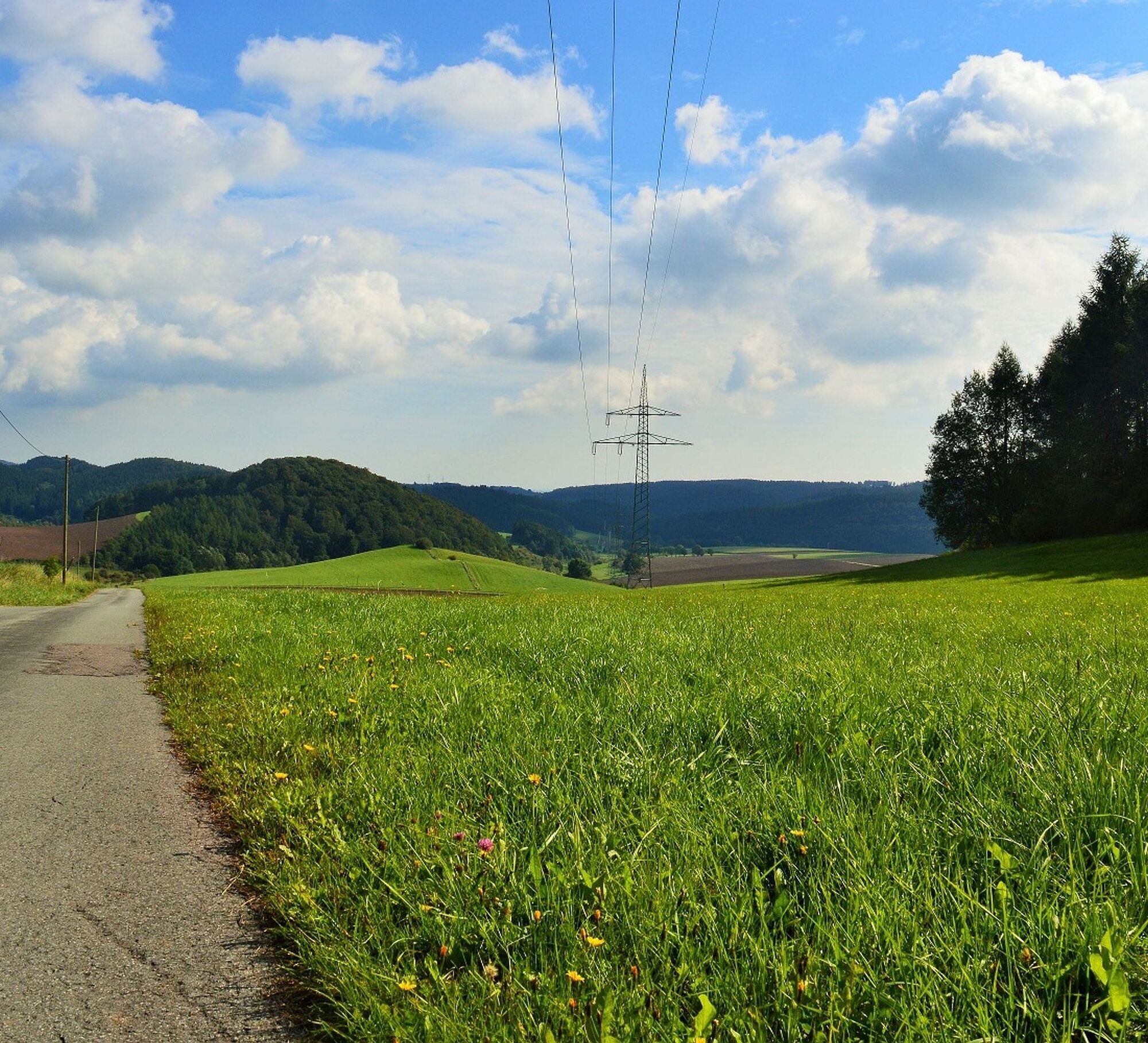
The volcano and history trail takes you in the footsteps of the Welleringhausen volcano into the past. Mountains and valleys, quarries and tunnels, but also the natural stones in the townscape and botanical special features – the volcano and its deposits have shaped the landscape and cultural history around Welleringhausen up to the present day.

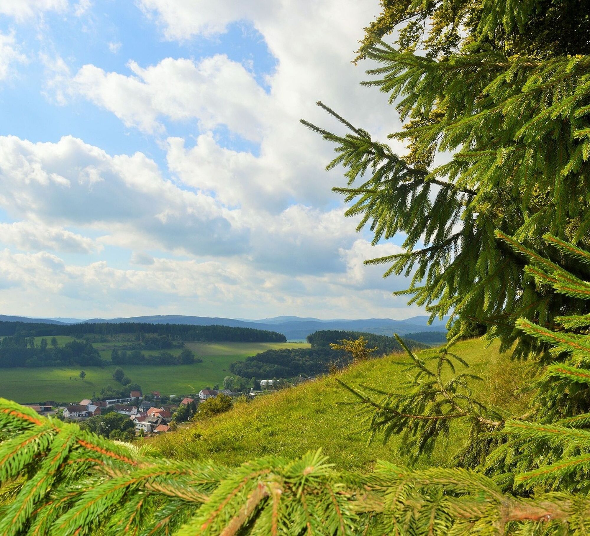
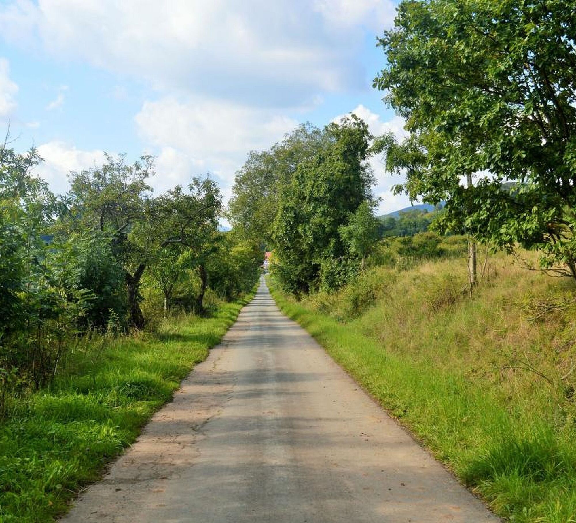
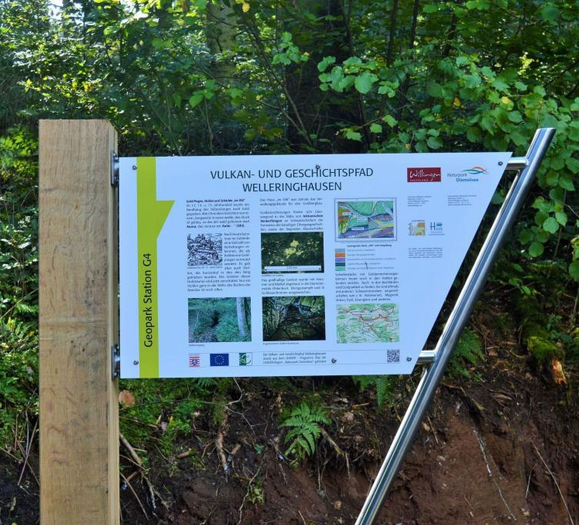
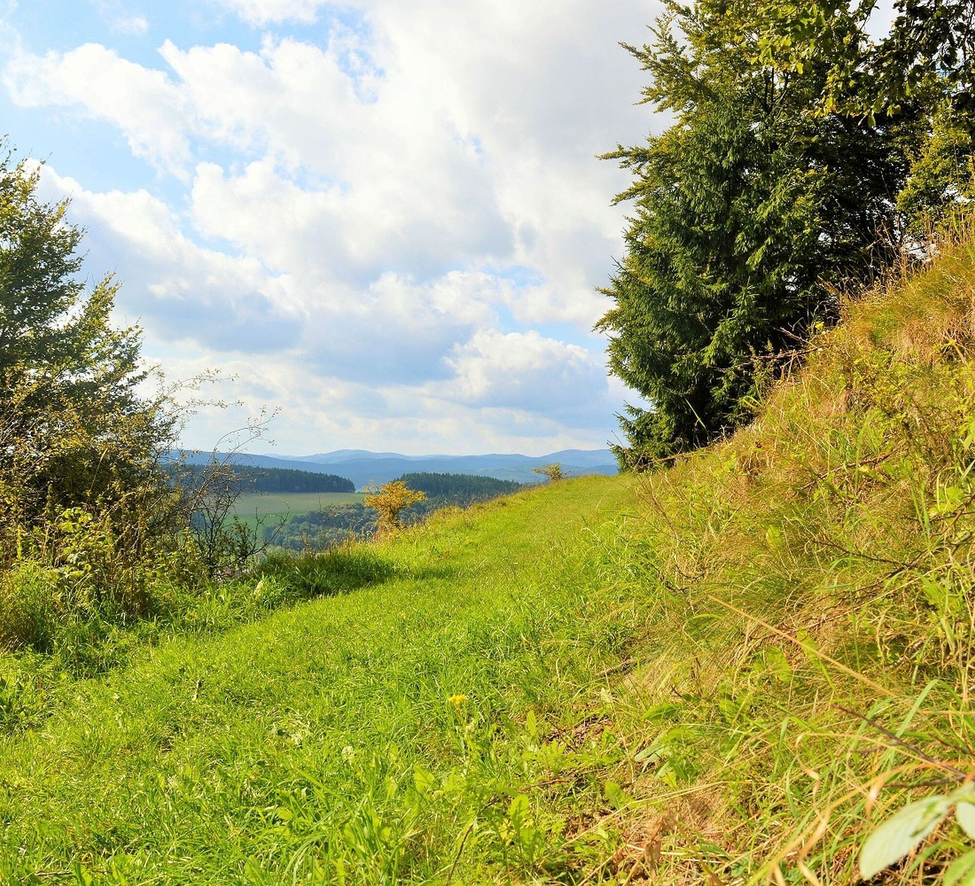

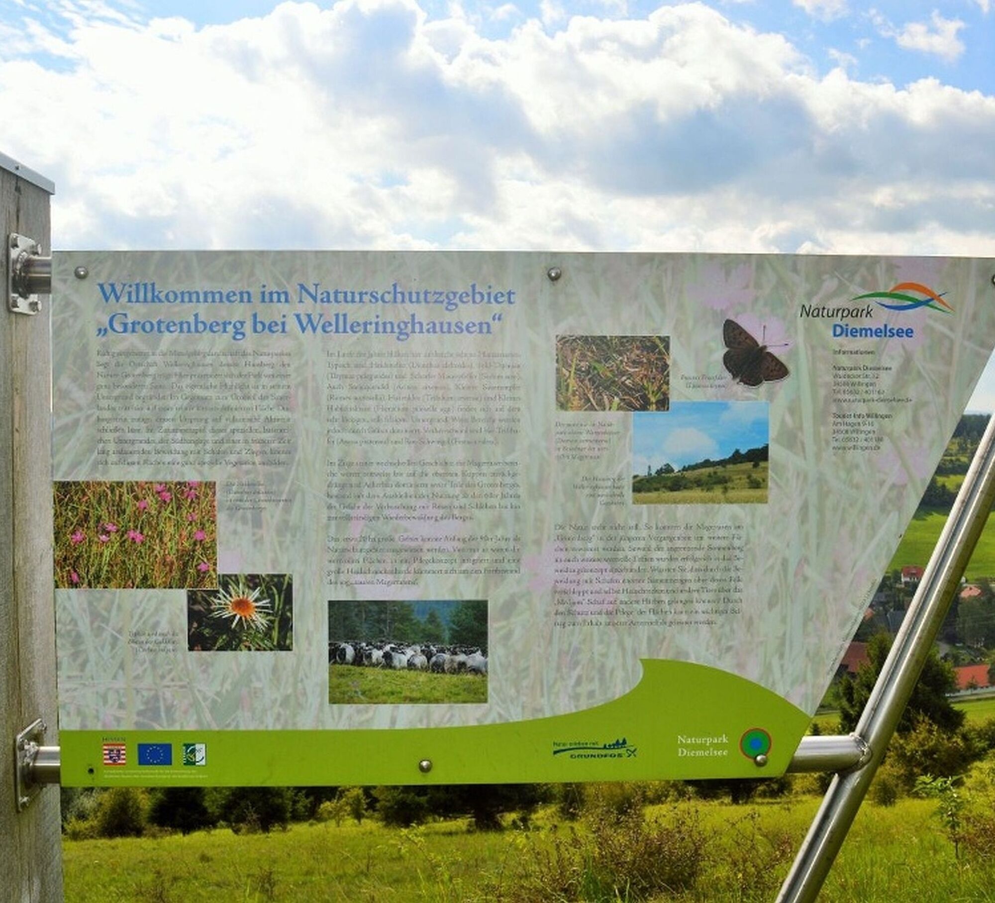
The history trail Welleringhausen begins at the fire station in Welleringhausen, Zum Sonnenberg 12. The stations provide information about geological and botanical features as well as the history of the place with the Romanesque Abrahamskirche. On the same section as the volcano trail, the path first passes the Katmecketal nature reserve, then continues past a medieval Jewish settlement, and returns to the starting point. Station boards inform about cultural-historical and geological special features.
The path can also be walked in the opposite direction.
Sturdy footwear, weather-appropriate clothing, packed meals, and sufficient liquids (water, tea) are recommended.
By car via the B251 to Gasthof Ohlenbeck between Usseln and Neerdar, turnoff Welleringhausen.
Bus/train to Willingen or Usseln station, then continue by bus or on-call shared taxi (AST) to Welleringhausen, stop Mitte
Free parking at the fire station, Zum Sonnenberg 12, 34508 Willingen, district Welleringhausen
Combine both routes: volcano and history trail. Both paths share the same section on part of the route.
Popularne wycieczki w okolicy
-
4,7
Bruchhauser Steine B1
średniWędrówka 11,8 km -
5,0
Circular route Skywalk/Hill - Ettelsberg
światłoWędrówka 4,10 km -
5,0
Rundwanderung Ruhrquelle Winterberg
światłoWędrówka 3,74 km -
4,5
Bruchhausener Steine
ciężkiWędrówka 5,15 km -
4,8
Rundwanderung Diemelsee
światłoWędrówka 8,54 km -
5,0
Rothaarsteig-Spur - Grönebacher Dorfpfad
średniWędrówka 10,6 km -
4,0
Willingen (W8)
średniWędrówka 12,9 km -
5,0
Willingen (W6)
średniWędrówka 12,9 km -
5,0
Strycktal circular route (Willingen)
średniWędrówka 3,99 km -
5,0
Uplandsteig - THE Original -
ciężkidługodystansowy szlak pieszy 66,1 km

Wędrówki i tropienie


Nie przegap ofert i inspiracji na następne wakacje
Twój adres e-mail została dodana do listy mailingowej.