






Uplandsteig - THE Original -


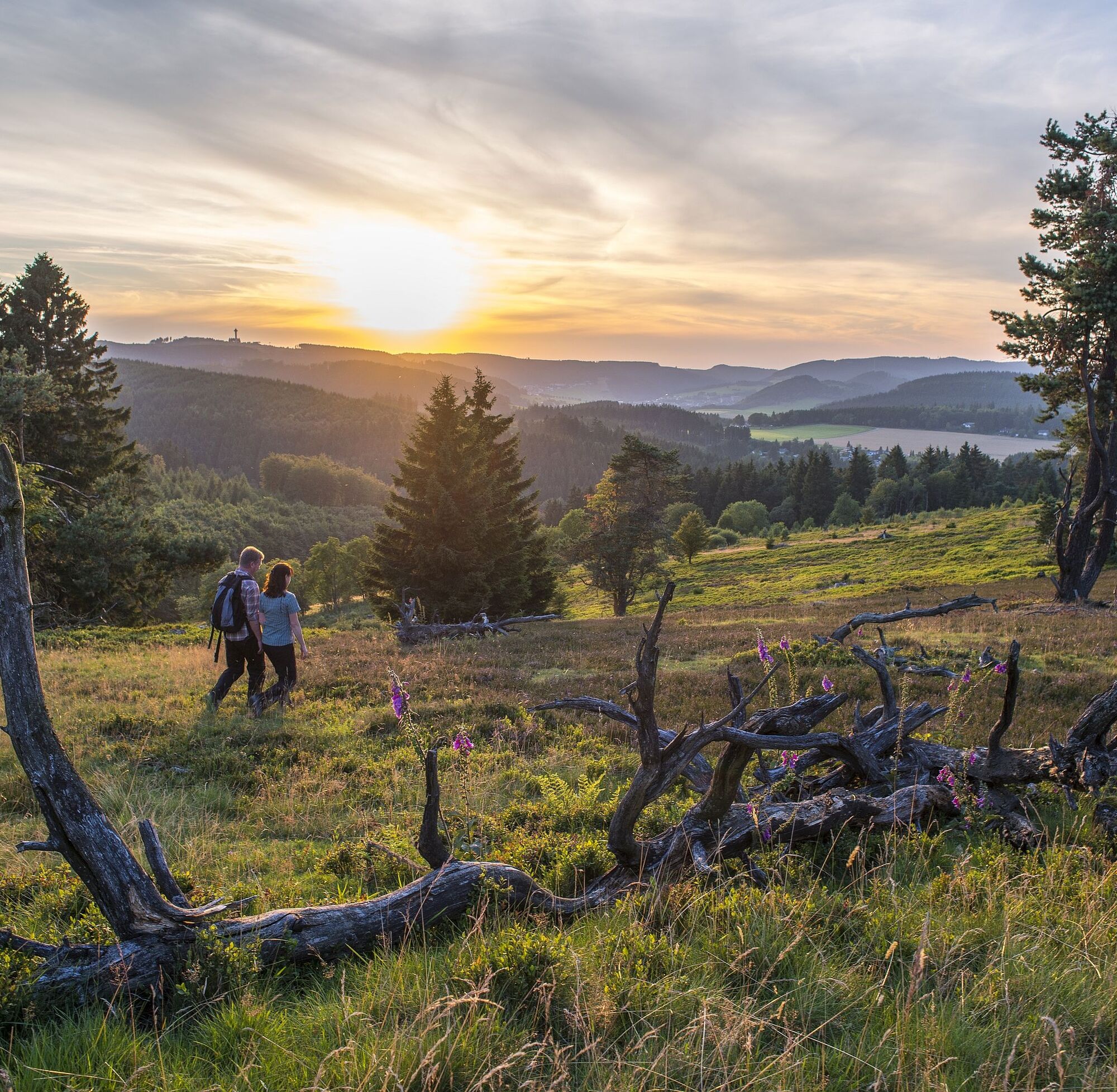
The Uplandsteig - a landscape dream!
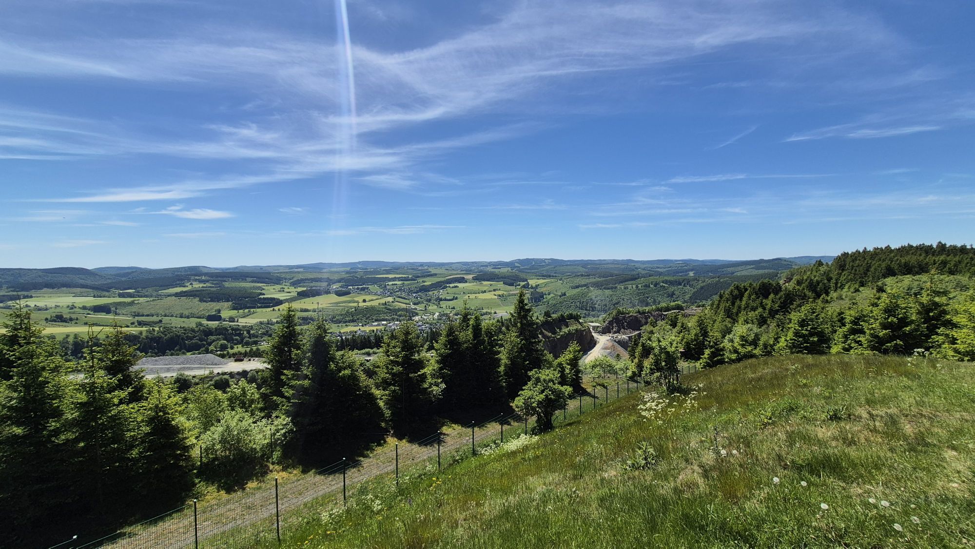
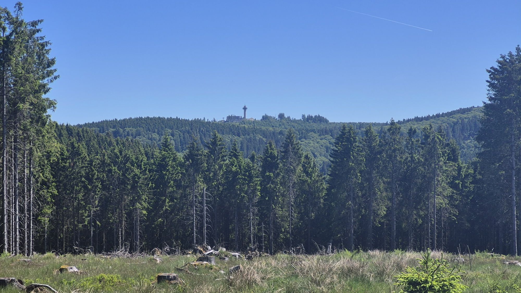
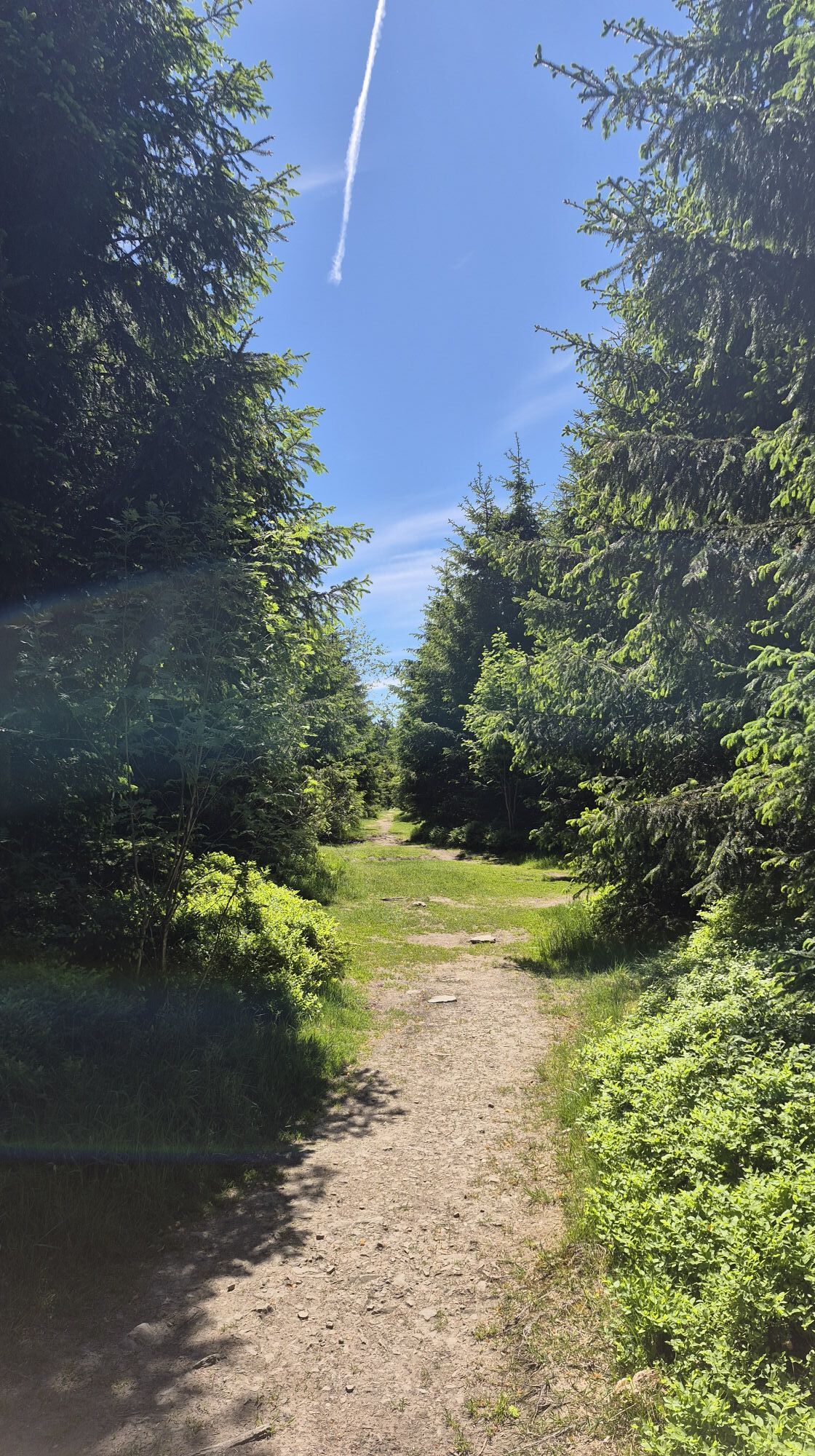
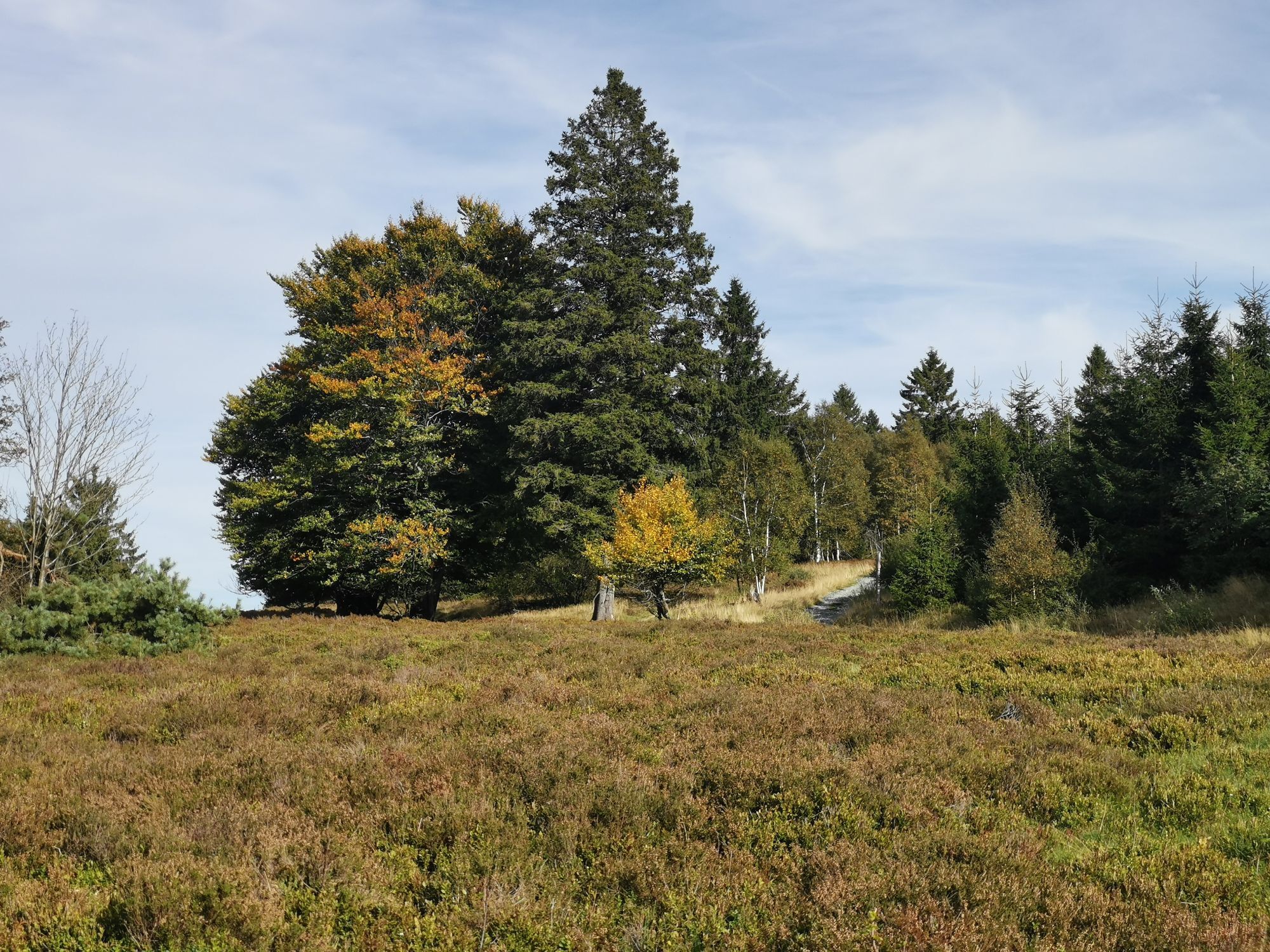
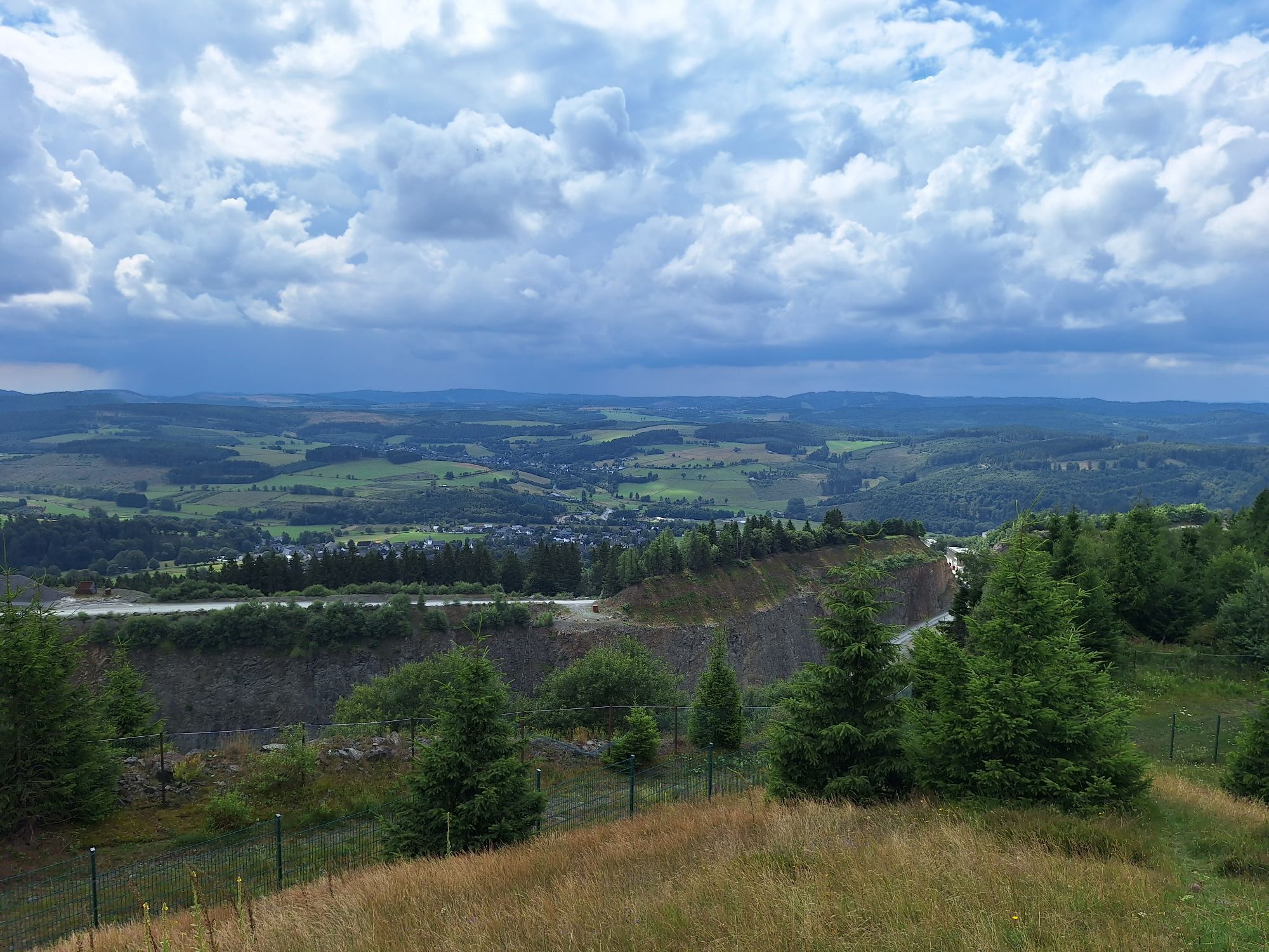
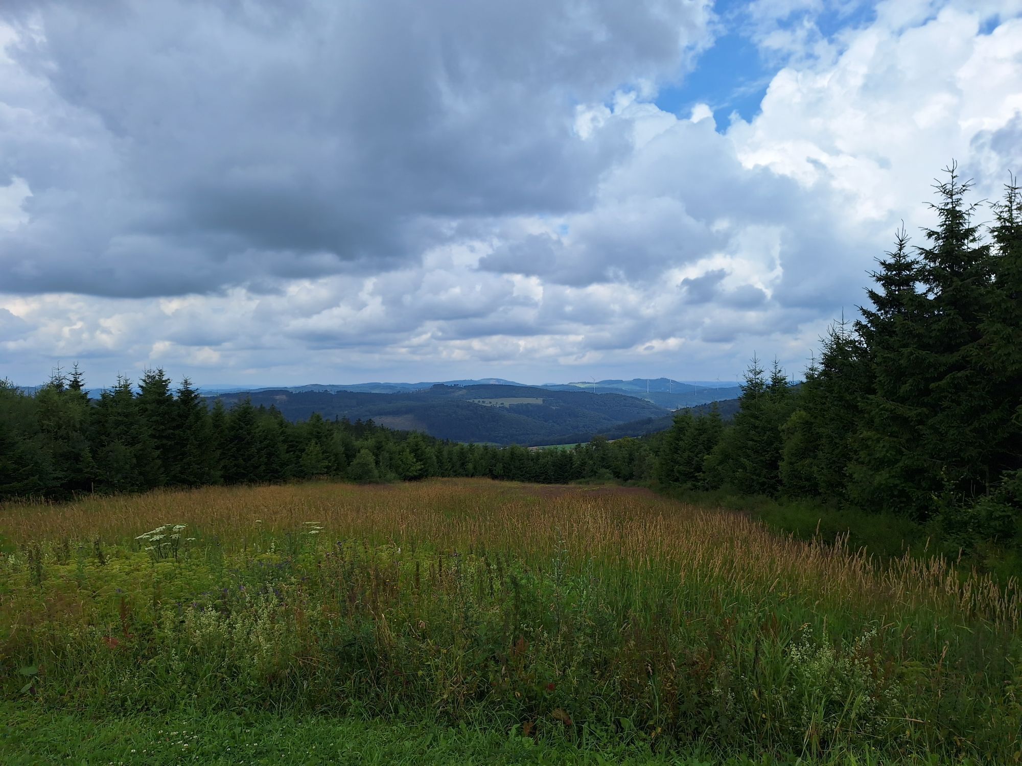
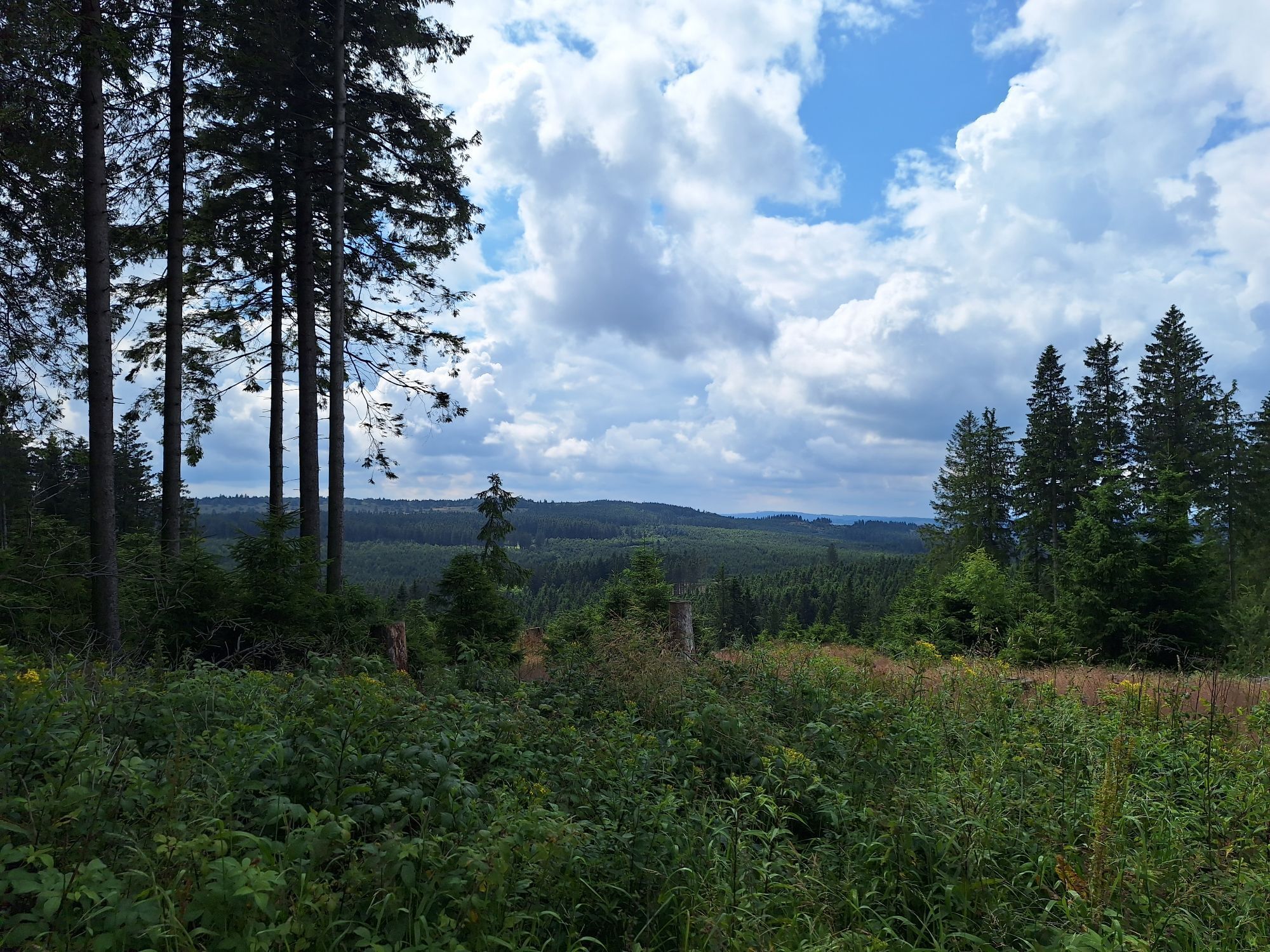
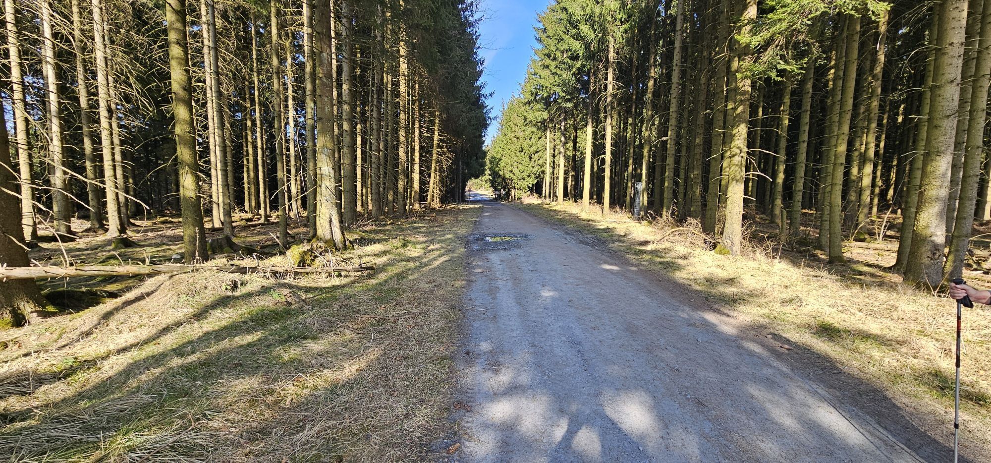
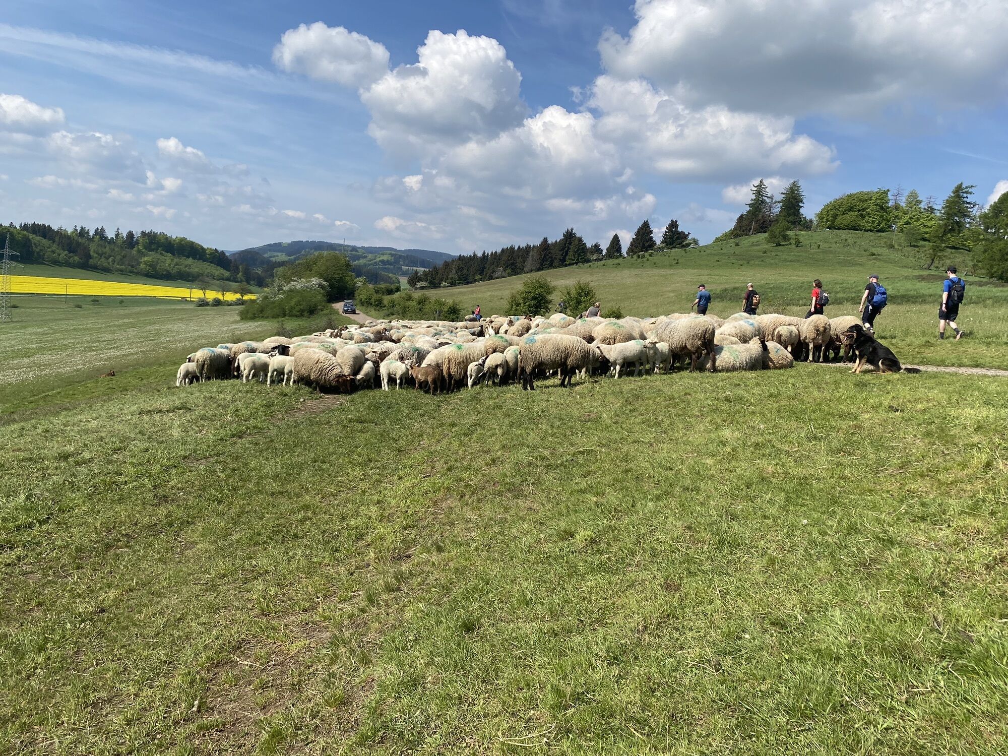
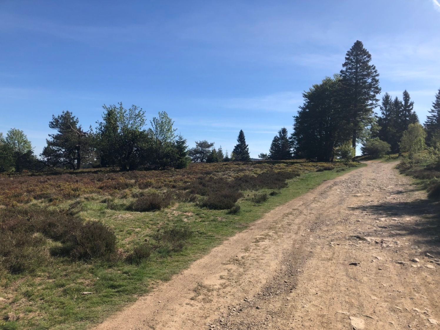
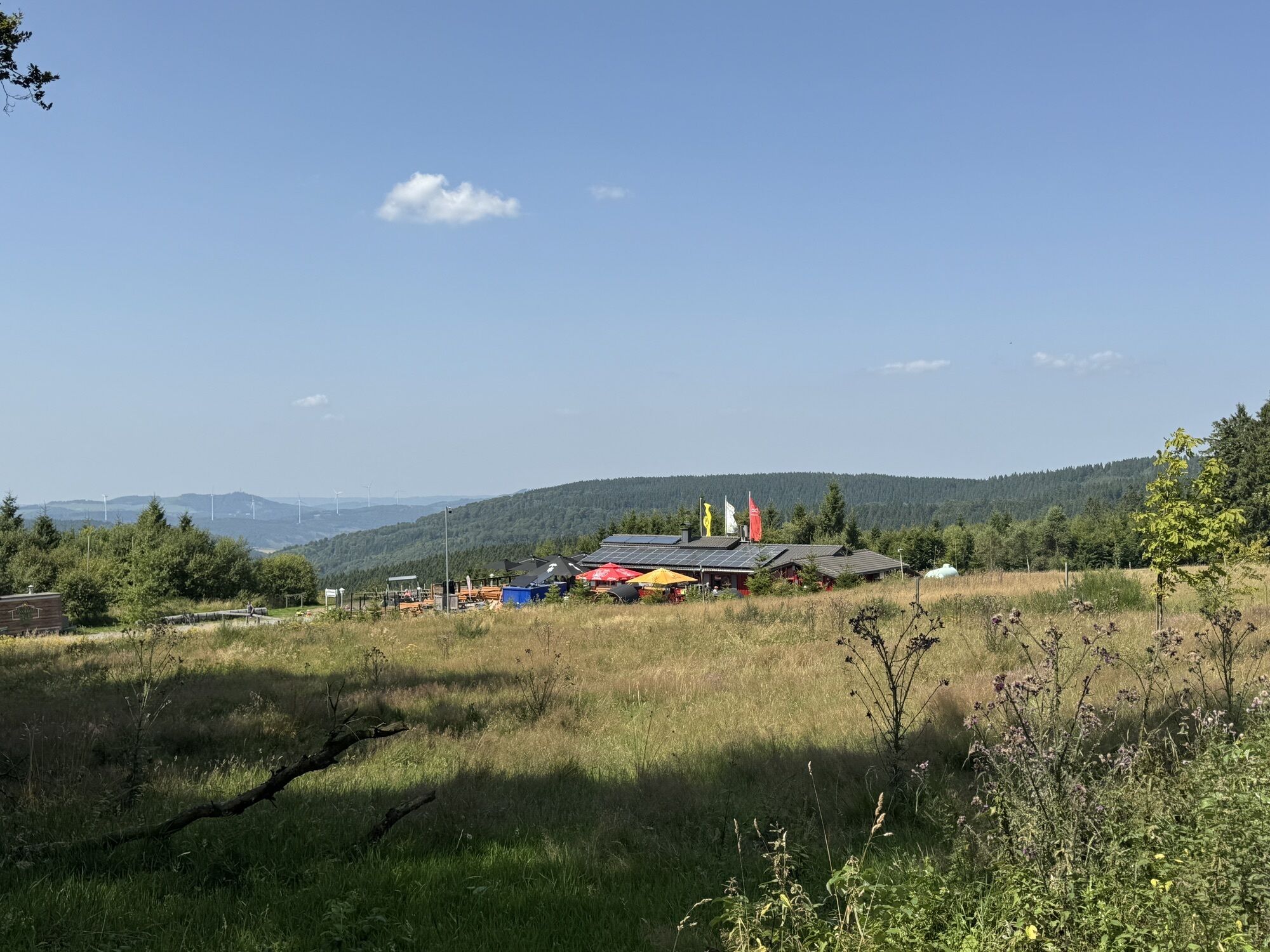
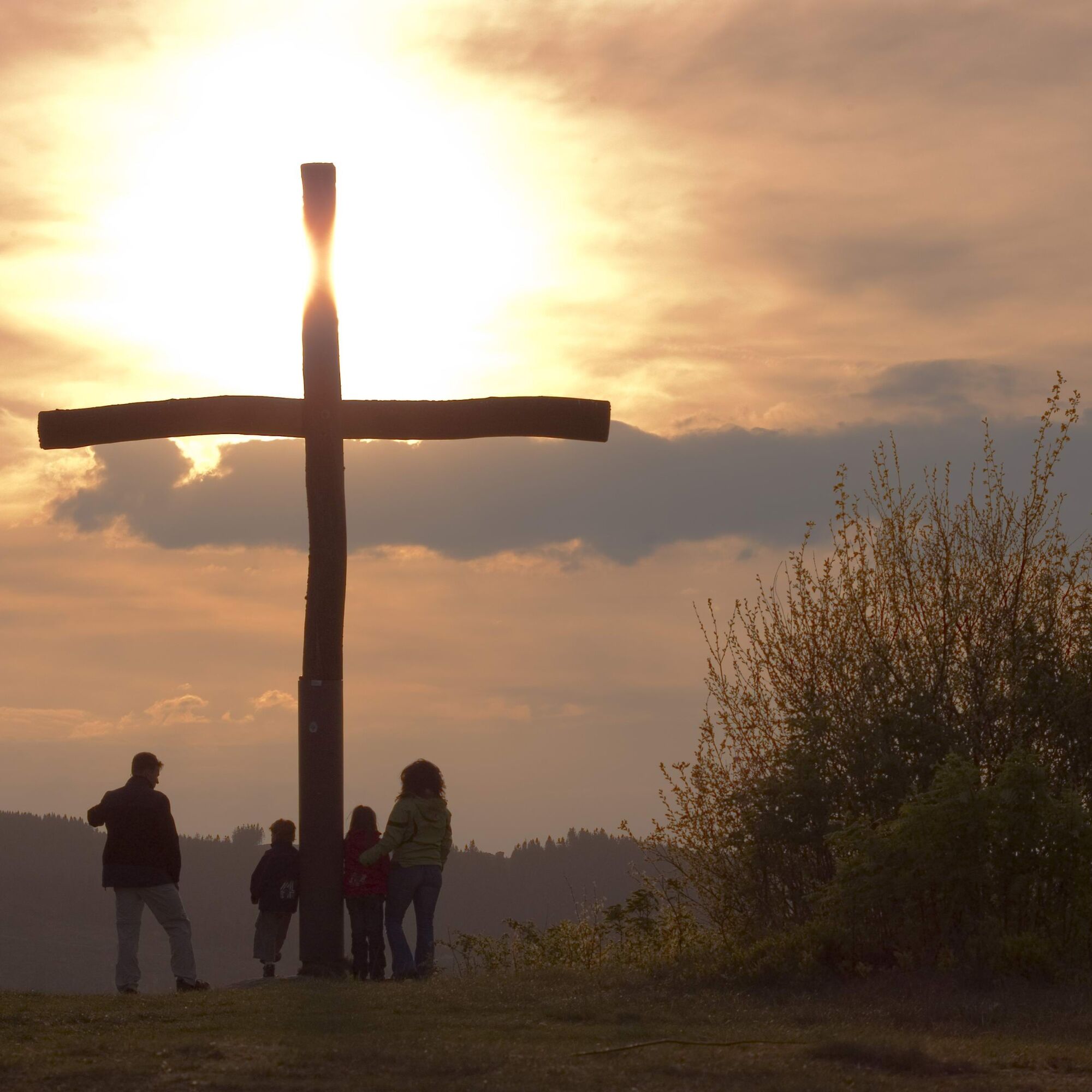
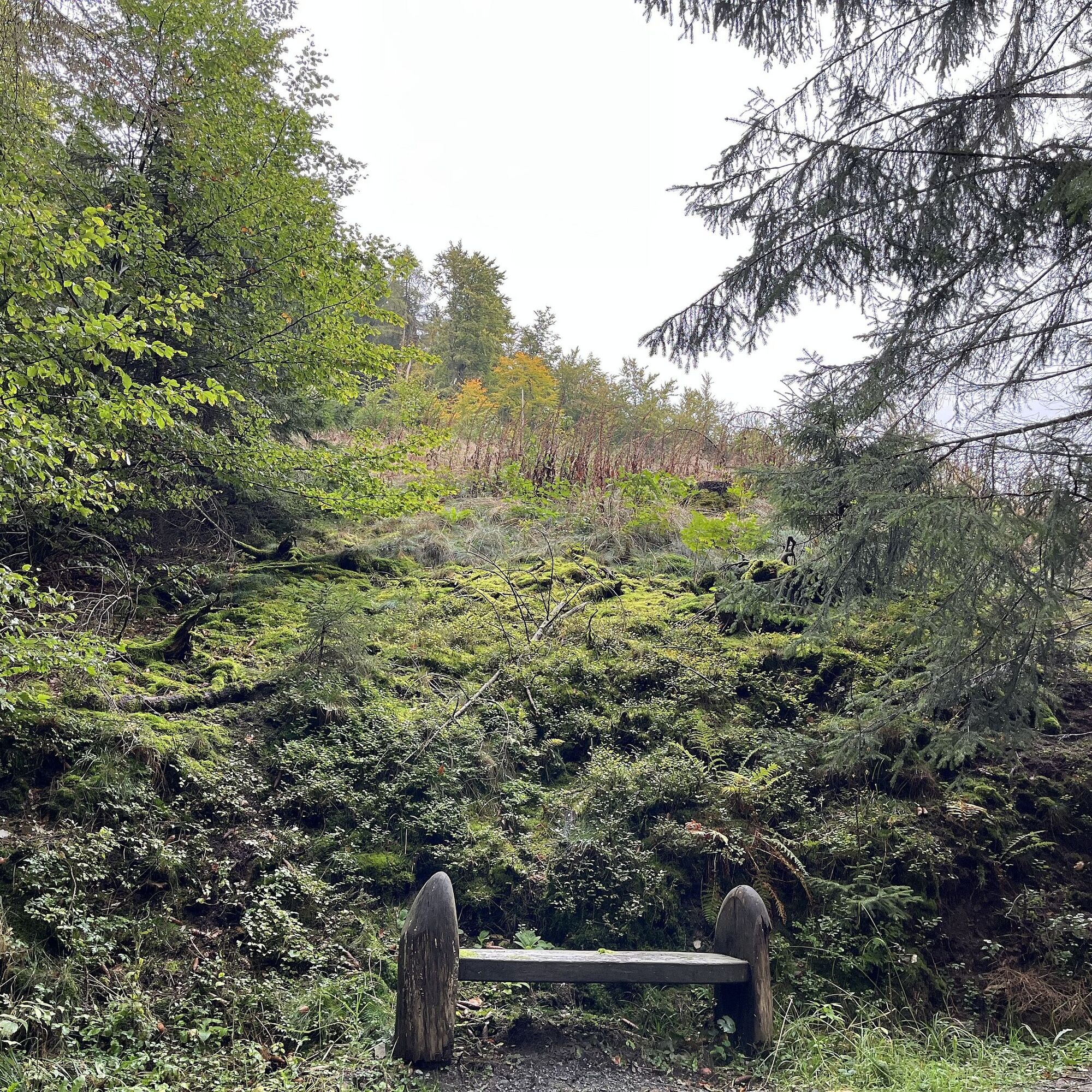
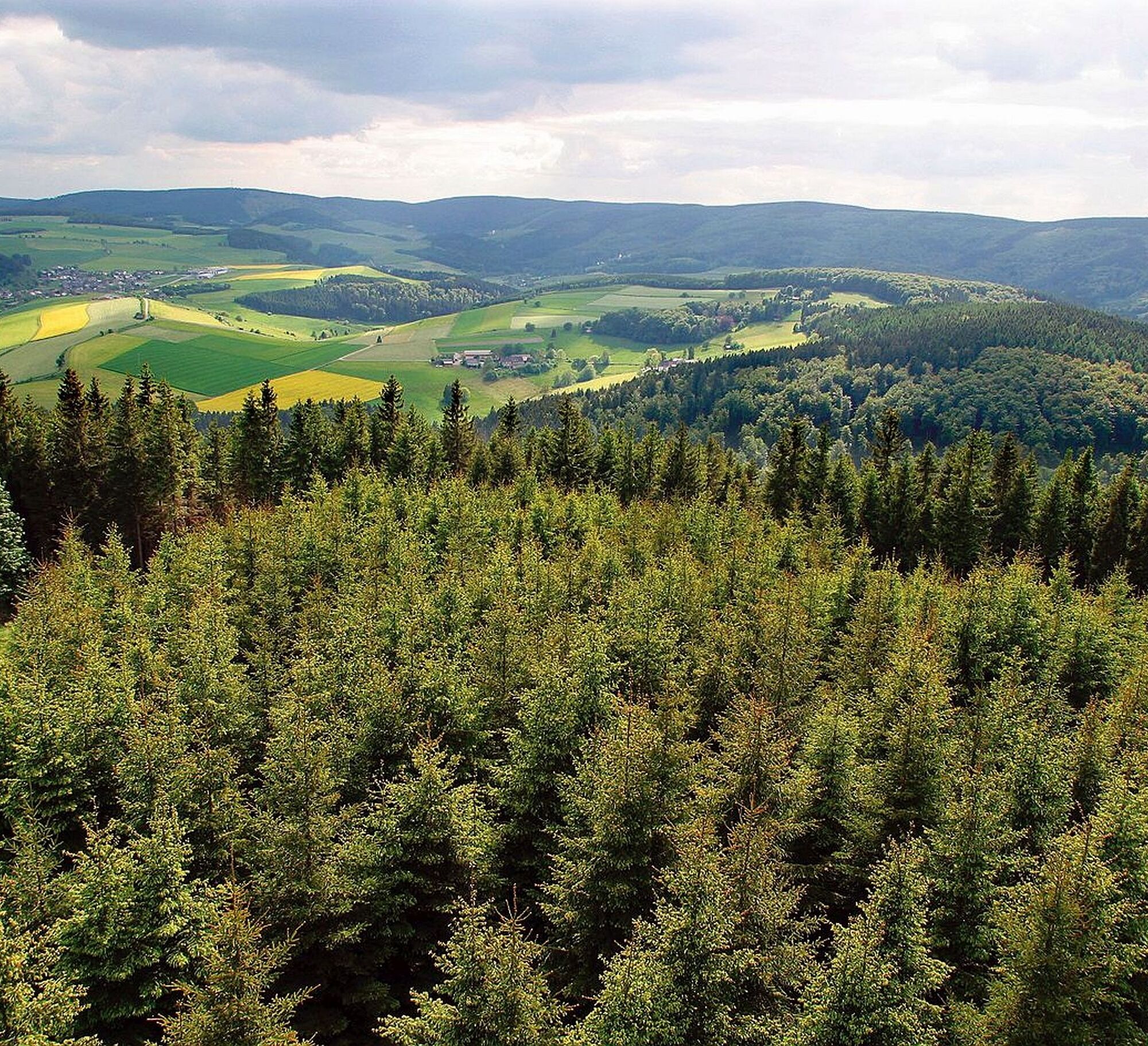
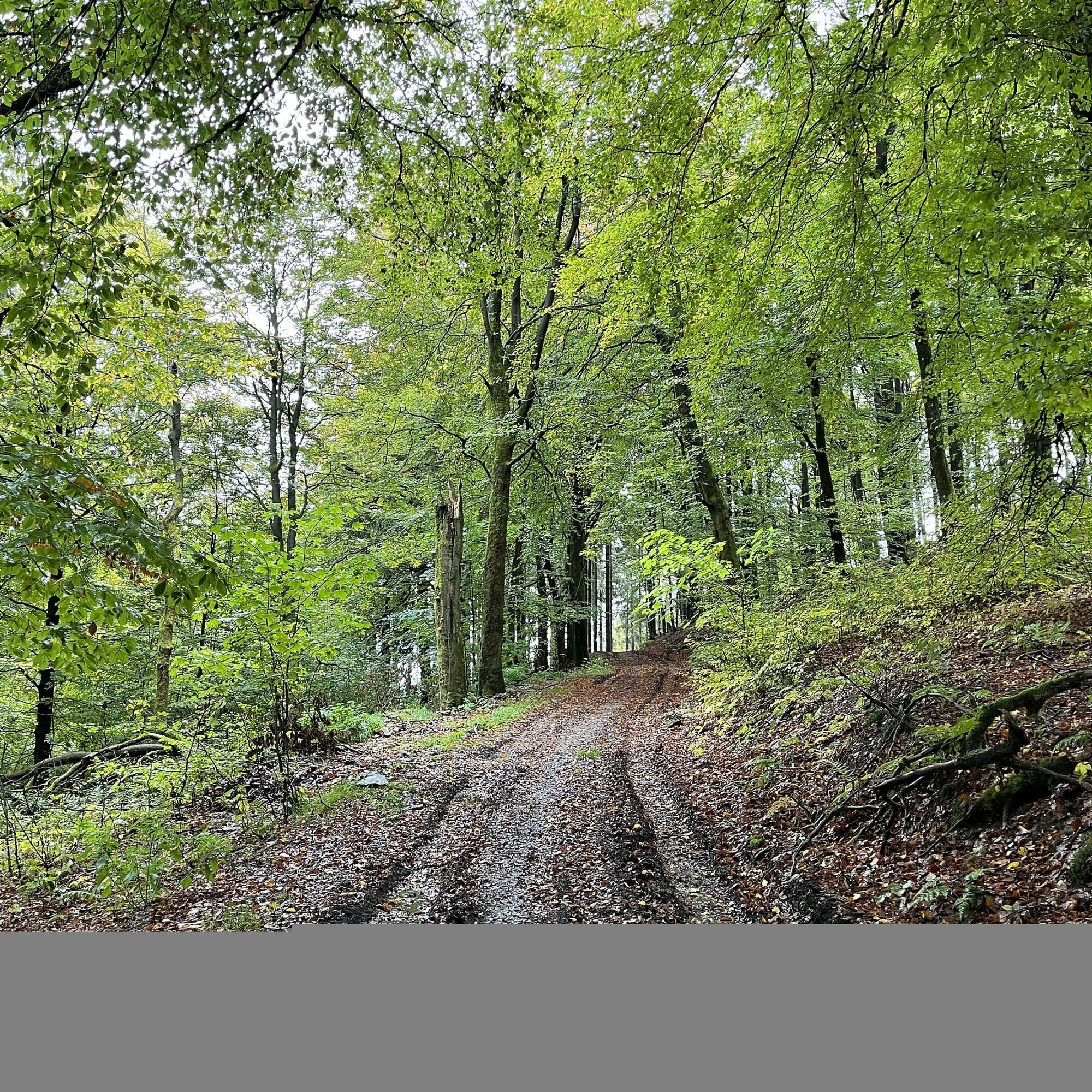
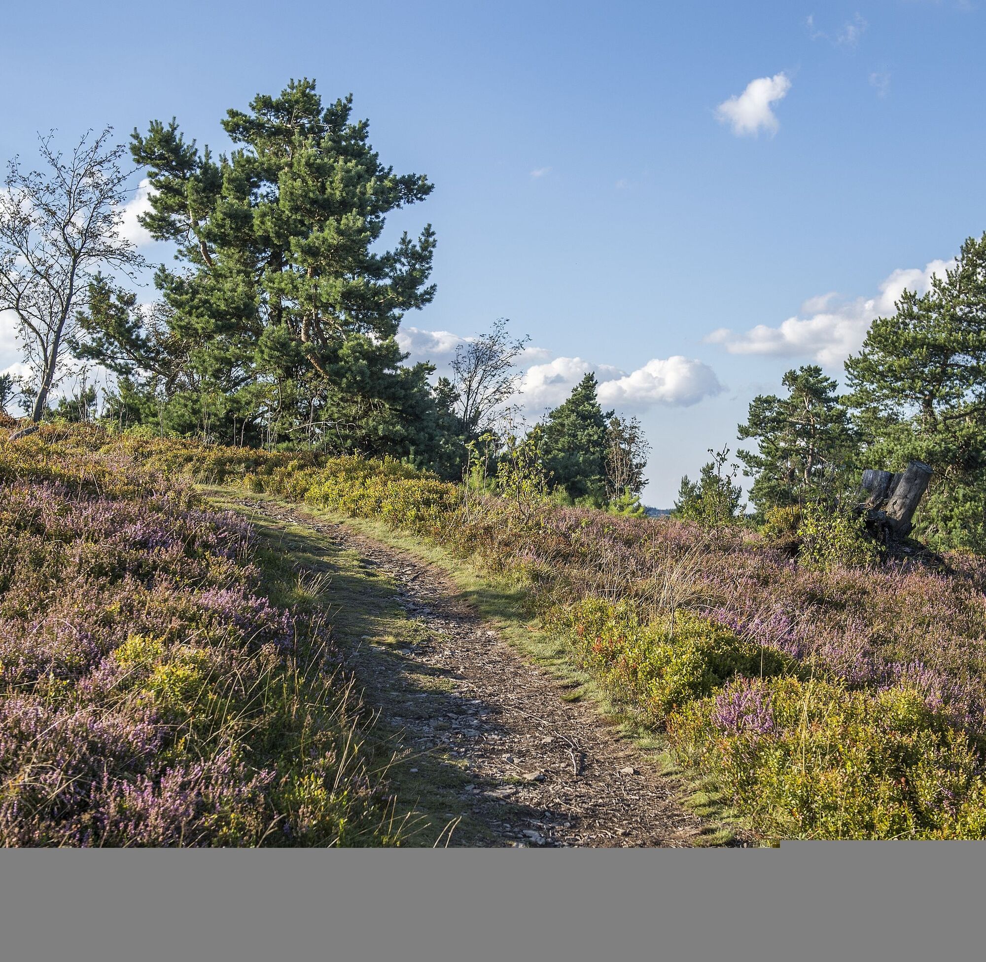
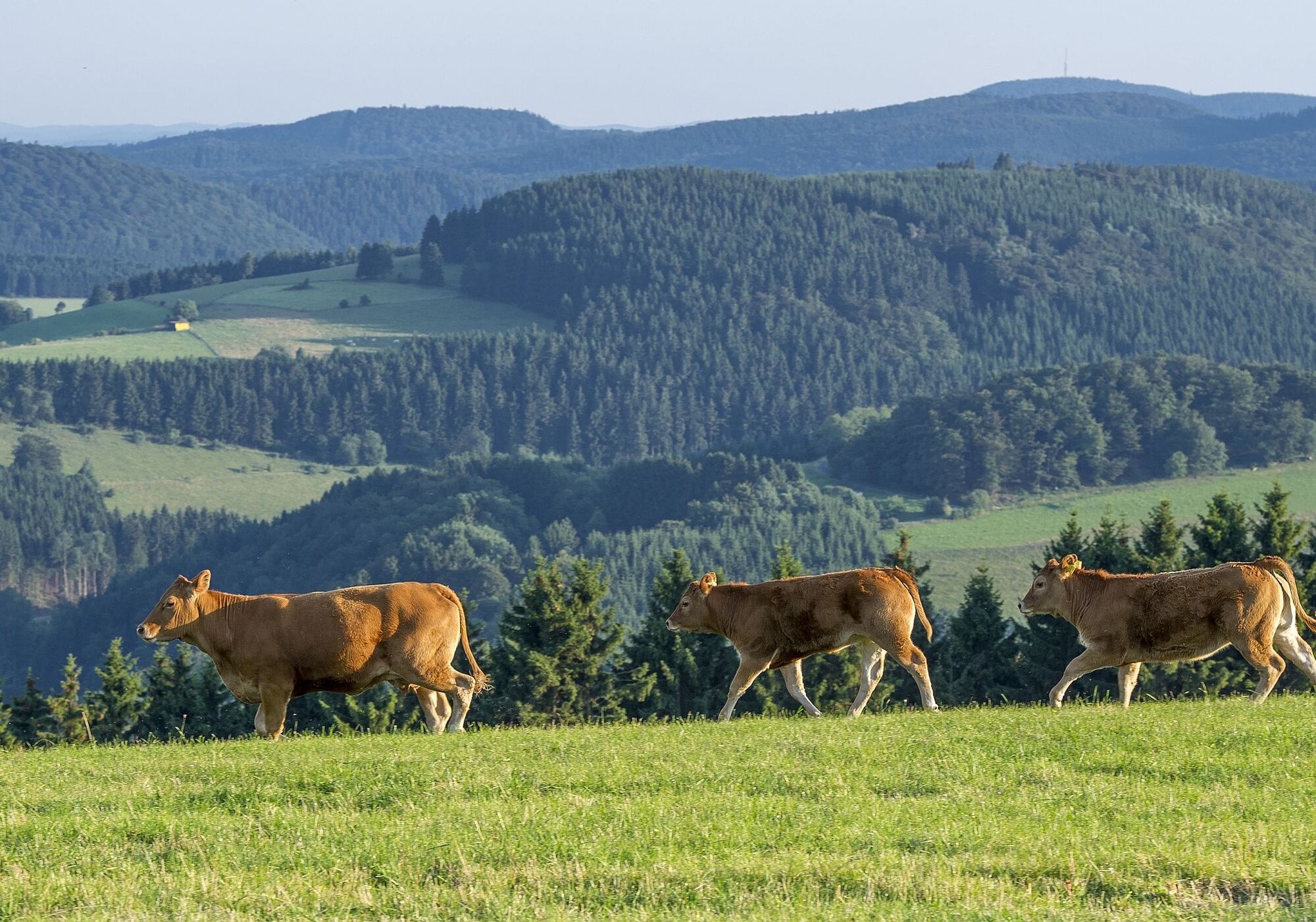
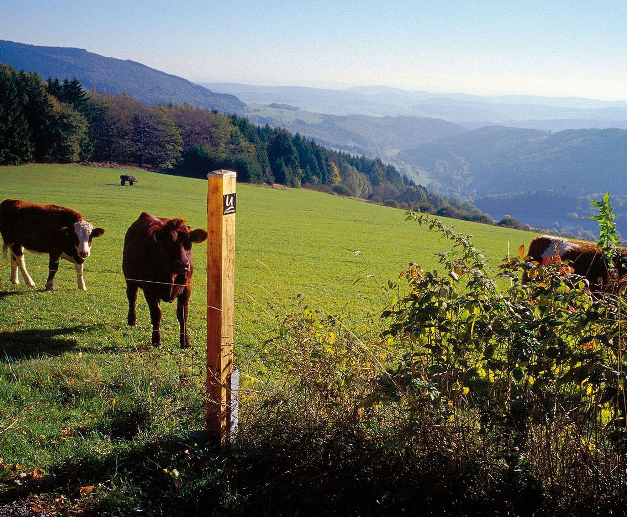
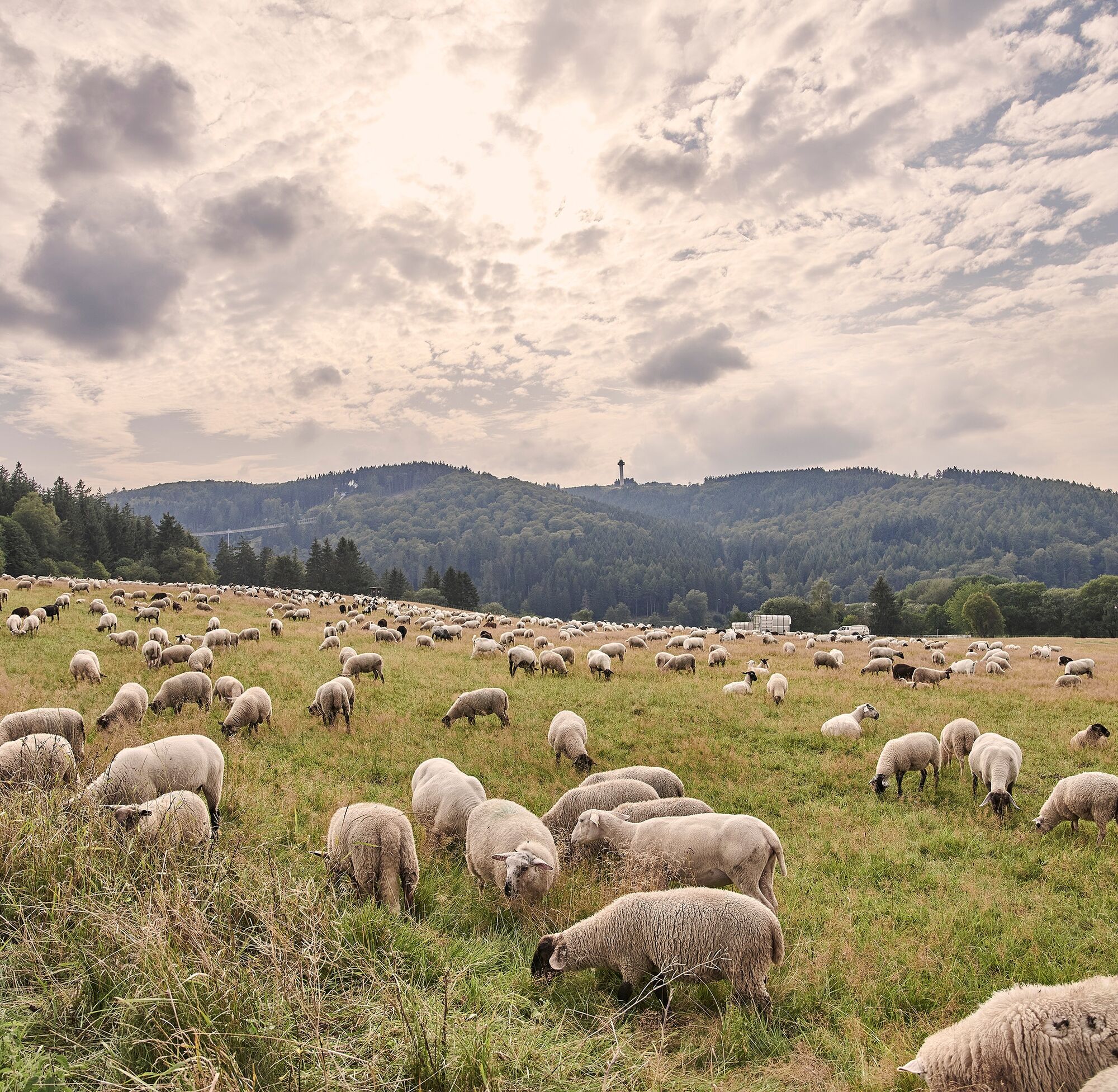
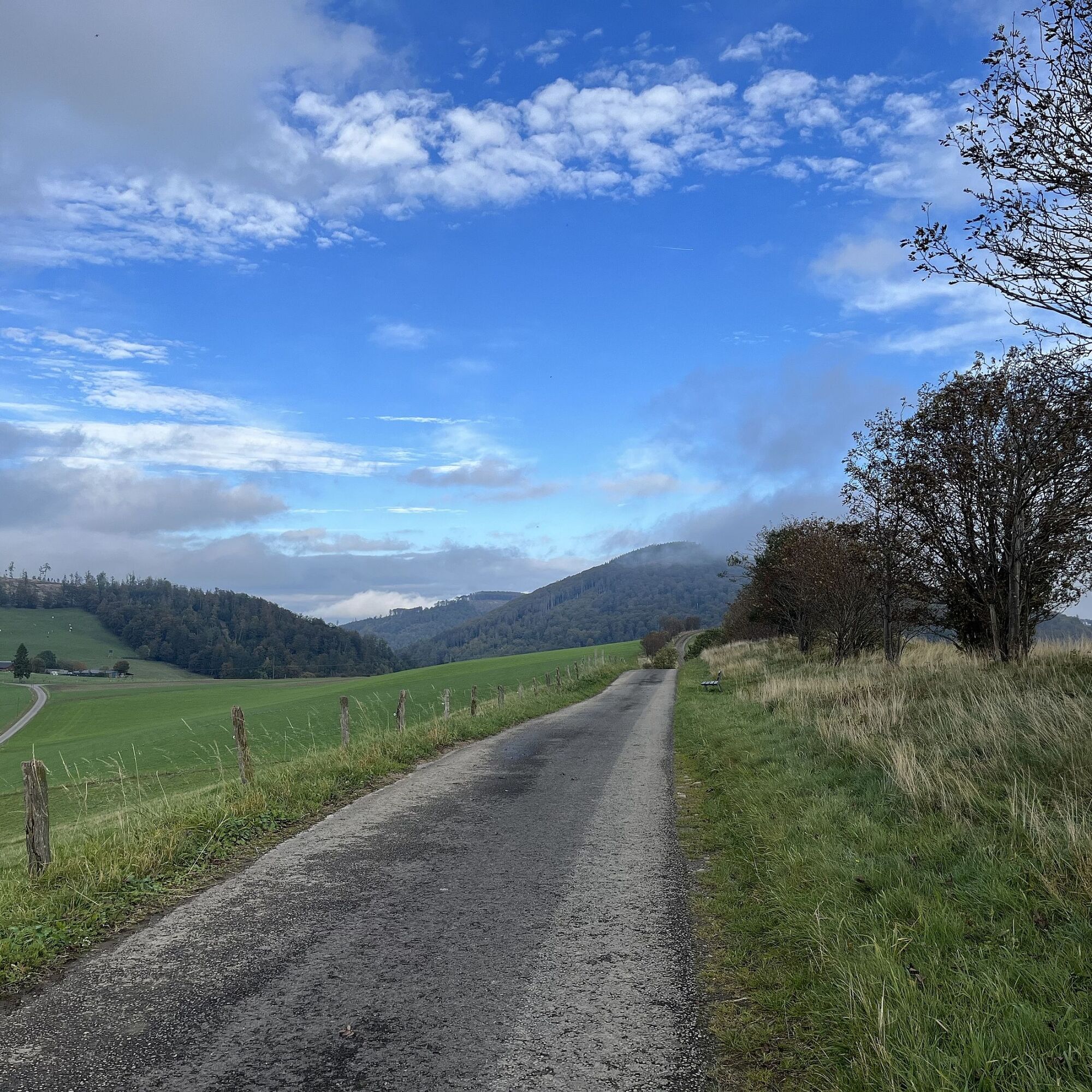
Mixed forest, beech forest, fir forest, fields, flowering meadows and marshlands - the beautiful views awaiting you cannot be described, you simply have to experience...
The Uplandsteig - a landscape dream!
Mixed forest, beech forest, fir forest, fields, flowering meadows and marshlands - the beautiful views awaiting you cannot be described, you simply have to experience them yourself.
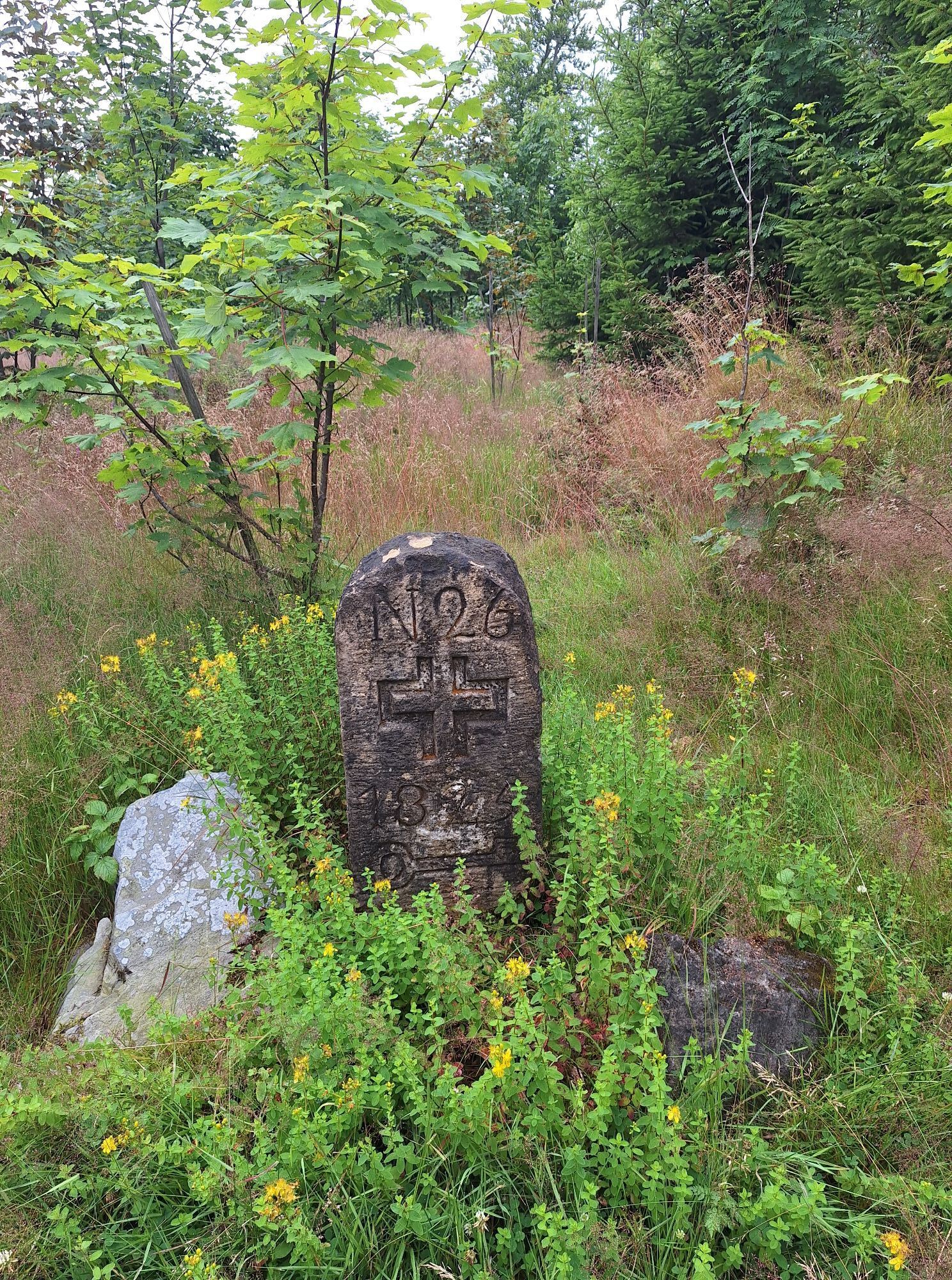
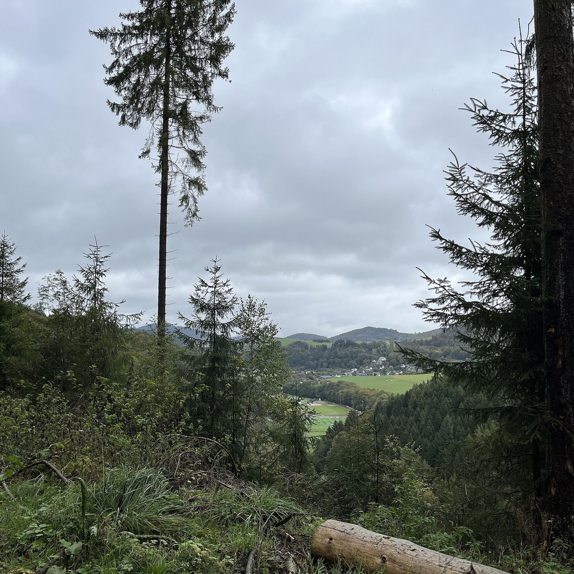
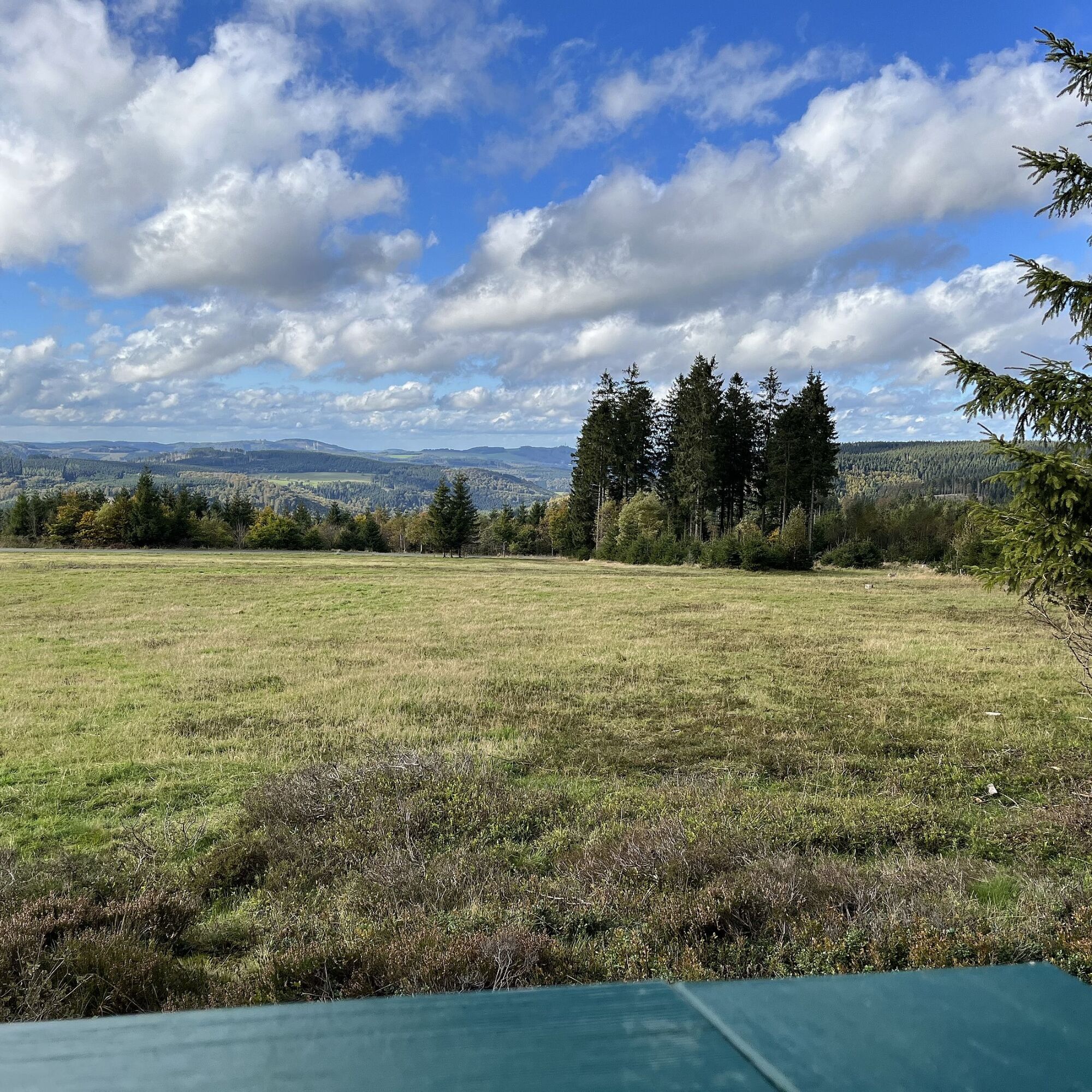
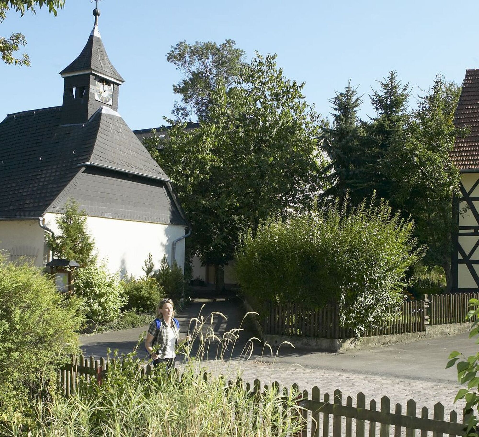
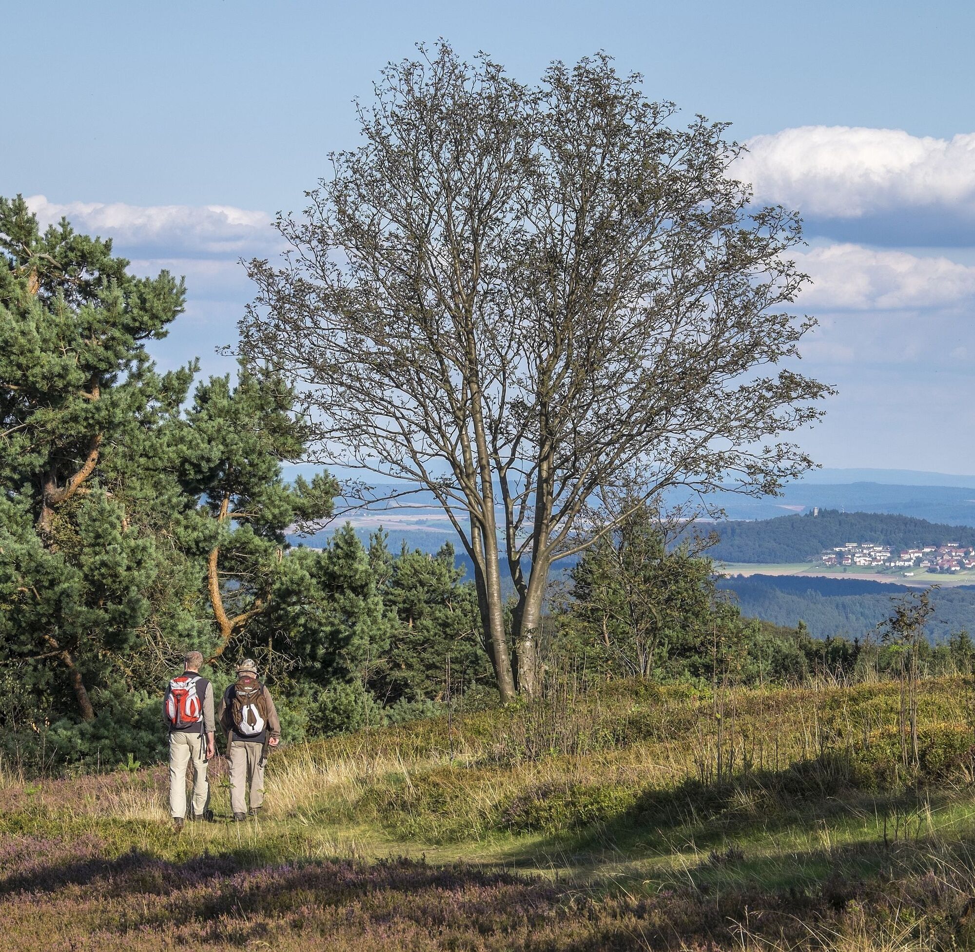
The first 500 vertical meters and also the most strenuous part of the certified hiking trail are covered right at the beginning and rewarded with wonderful panoramic views over the Upland (in Hesse and thus in the heart of Germany). It continues through smaller Upland villages, past a bathing lake, through a nature reserve and finally to the source of the Diemel. Along the way you pass wonderful viewpoints and can let your gaze wander over the wide landscape. Experience the untouched nature with its high moors (unique in Europe), bogs, orchid meadows, fields, and forests. You climb the highest mountain of the Hochsauerland and also of NRW, just beyond the state border, the 843 m high Langenberg. Furthermore, you will find boundary stones from times long past, as well as well-known historic sites such as the Richtplatz or the medieval Schwalenburg, a still unexplored fortification.
And when you have completed the 66 km, continue dreaming with wellness or massages or with Kneipp therapy (noting the double "p"), since Willingen (Upland) is both a Kneipp spa and a health resort with a therapeutic climate.



Uplandsteig - A Landscape Dream
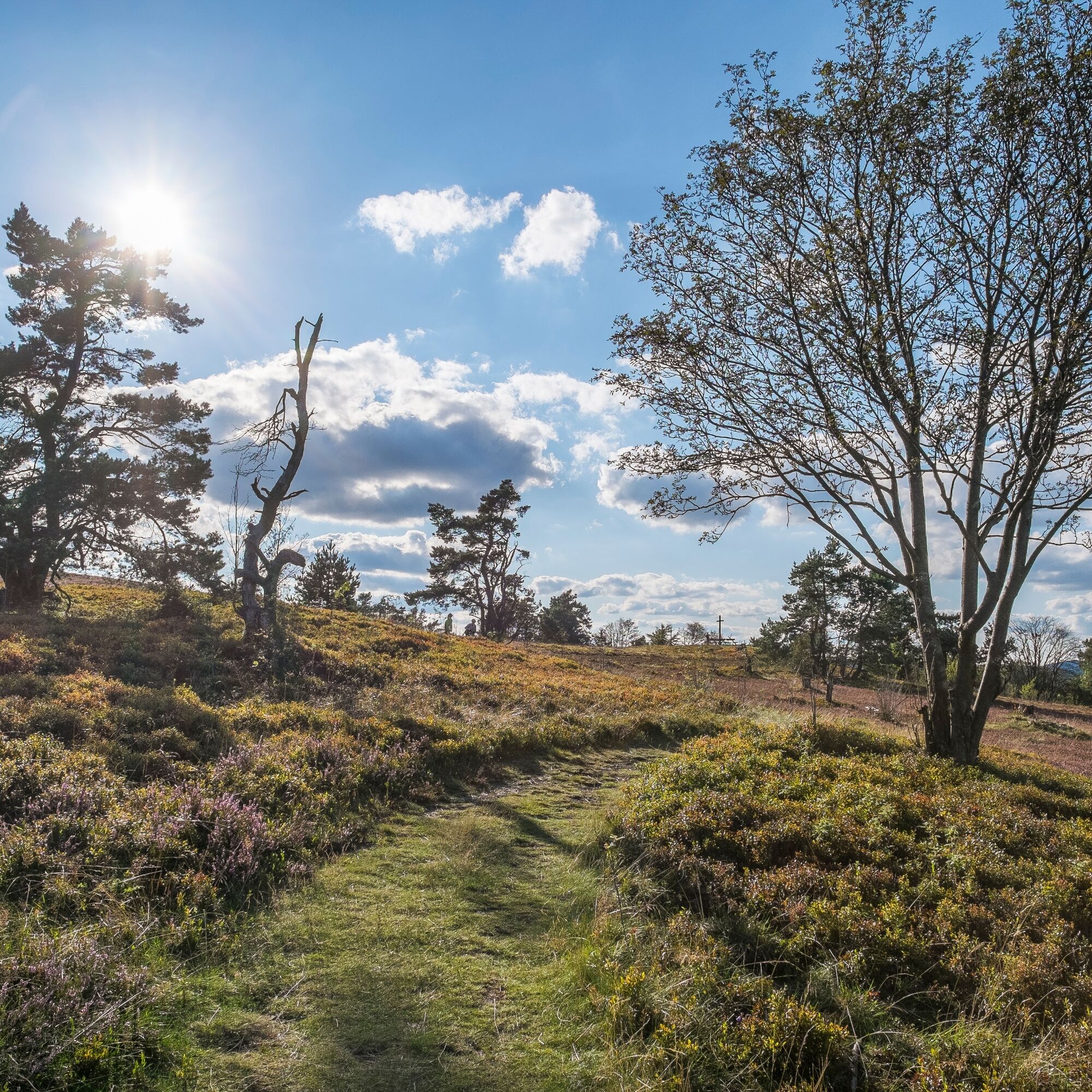
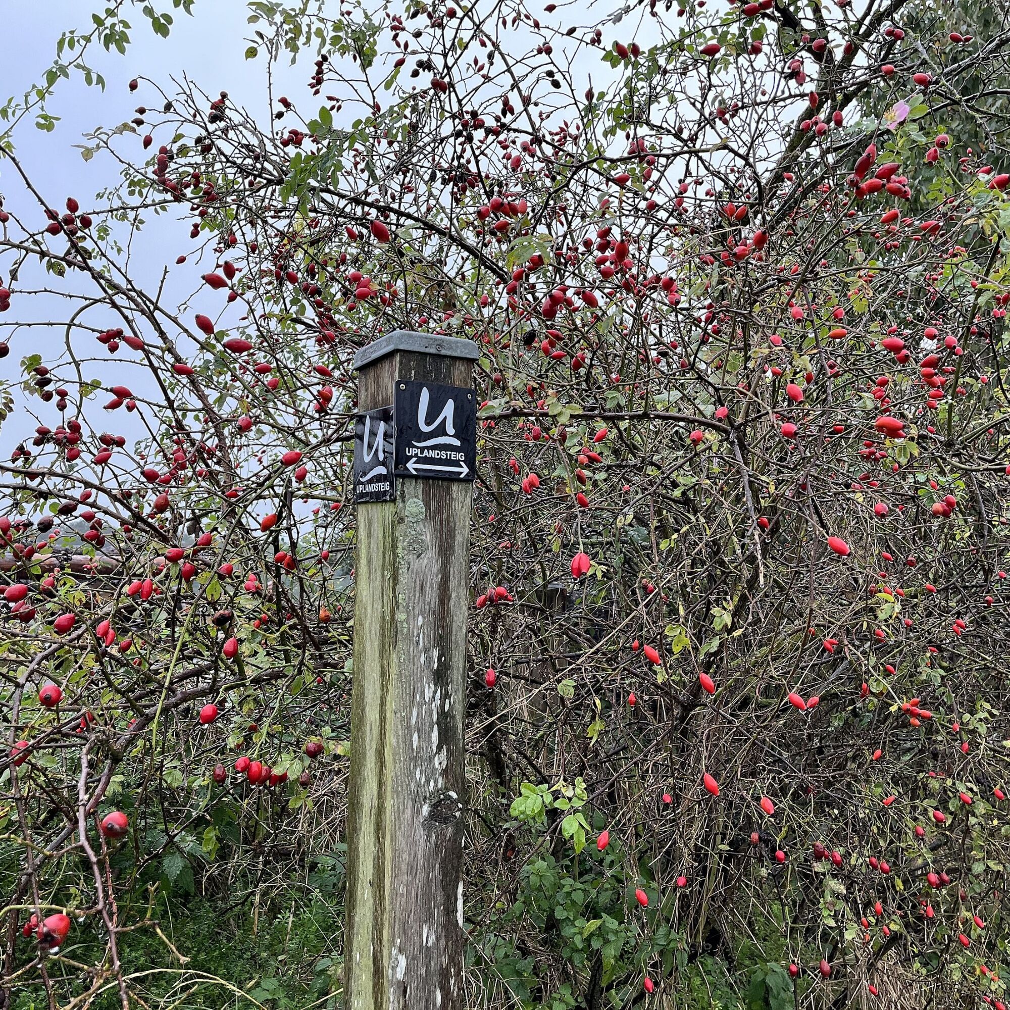
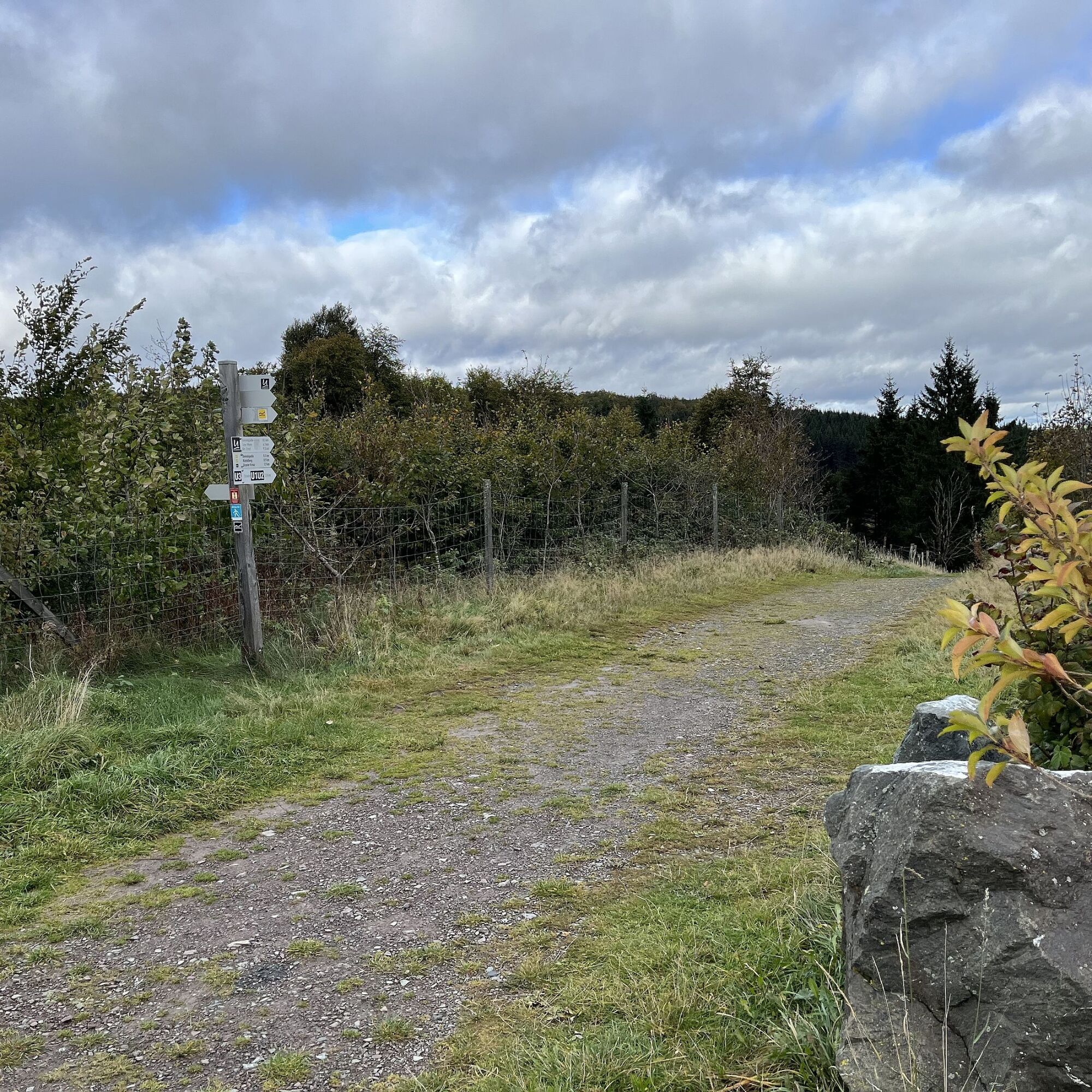
The Uplandsteig is a demanding hiking trail of 66 km length. It takes you once around the municipality of Willingen (Upland) and touches all 9 districts. The topography of our landscape already suggests that we have to expect partly steep ascents and descents, especially in the first few kilometers. For instance, on the first 15 km alone, 450 m of a total of 1,468 meters in elevation are climbed. You will find distance markings both on the map and along the trail. You will notice that the appearance of the landscape changes repeatedly during the hike. We walk through mixed forest, beech forest, fields, flowering meadows, marshlands, and high moors. The beautiful views waiting for us on the route cannot be described, you simply have to experience them yourself.
Kilometers 0 to 5
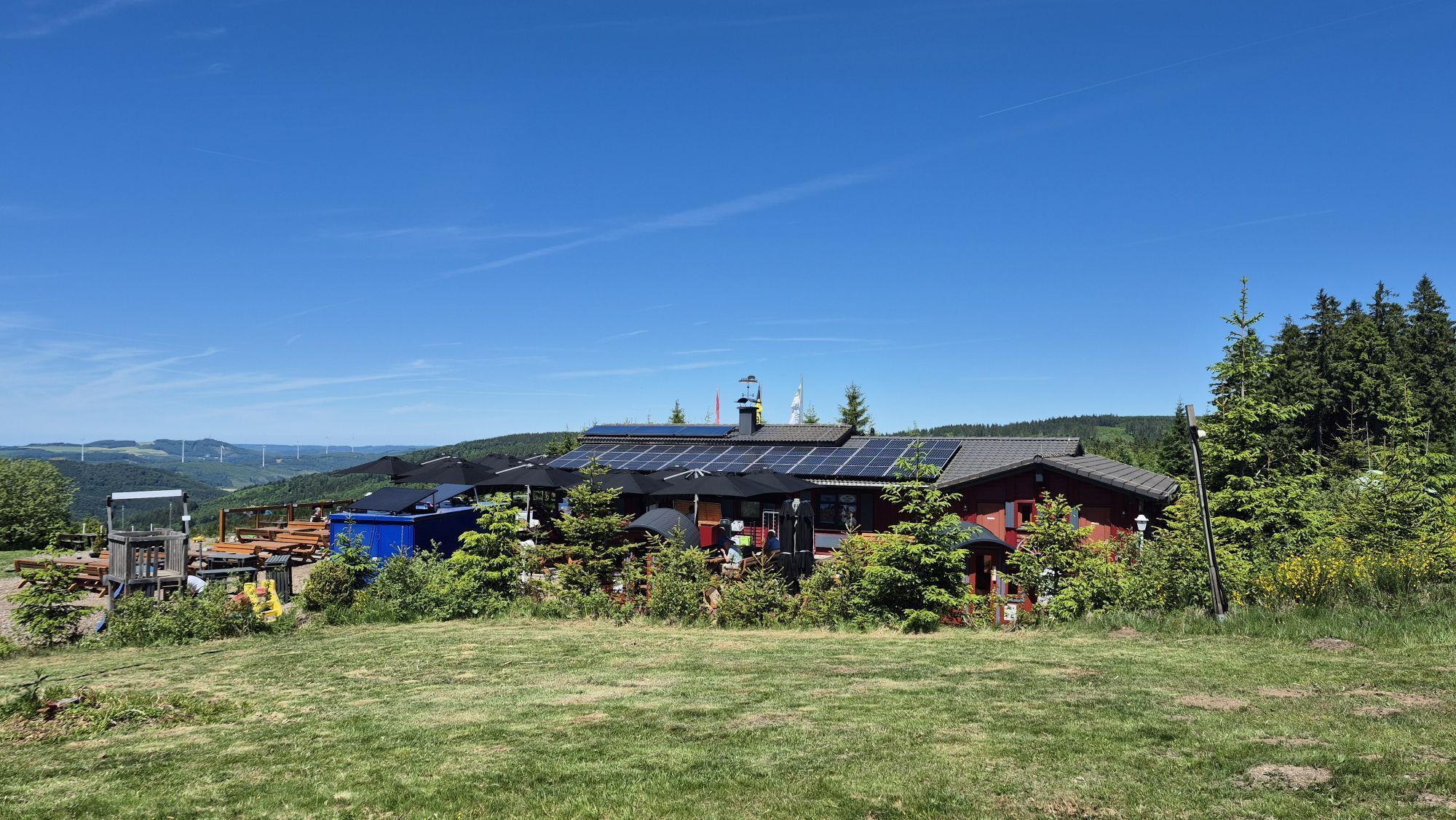
The official starting point of the Uplandsteig is the visitor center in Willingen. From here it goes downhill over the Gehren Bridge, past the "Upland School", Hesse's smallest grammar school. After about 300 meters, the route turns left and leads through the Willingen spa garden to Briloner Straße. You cross this and go right from Göbels Landhotel up the street "Zum Treis" to Sonnenweg. There you have already completed the first kilometer of the trail, and from here your "nature" experience begins, which will accompany you for the next 64 kilometers. You leave the Kurhotel Hochsauerland 2010 on the left and soon reach Haselnussweg (600 m above sea level). From here, there is a first beautiful view of Willingen, its mountains, and the town's opposite local mountain, the Ettelsberg (838 m). The path now runs fairly flat towards Schwalefeld. You experience the beauty of a beech forest, and after about 2 kilometers you reach the Cafe-Restaurant Fernblick (closed on Thursdays). Its specialty, the "fresh daily waffles", attracts many hikers. From here you can already see the district of Schwalefeld lying deep in the valley. After about 350 meters, the path again leads you down into the Itter valley through a beech forest (km 4). The Itter, like the Aar at about km 9.5, flows into Lake Diemel. Between km 4 and km 5, the Uplandsteig crosses the state road and leads you along the foot of Burgring and partly along the Itter's bank towards Schwalefeld.
Kilometers 5 to 10
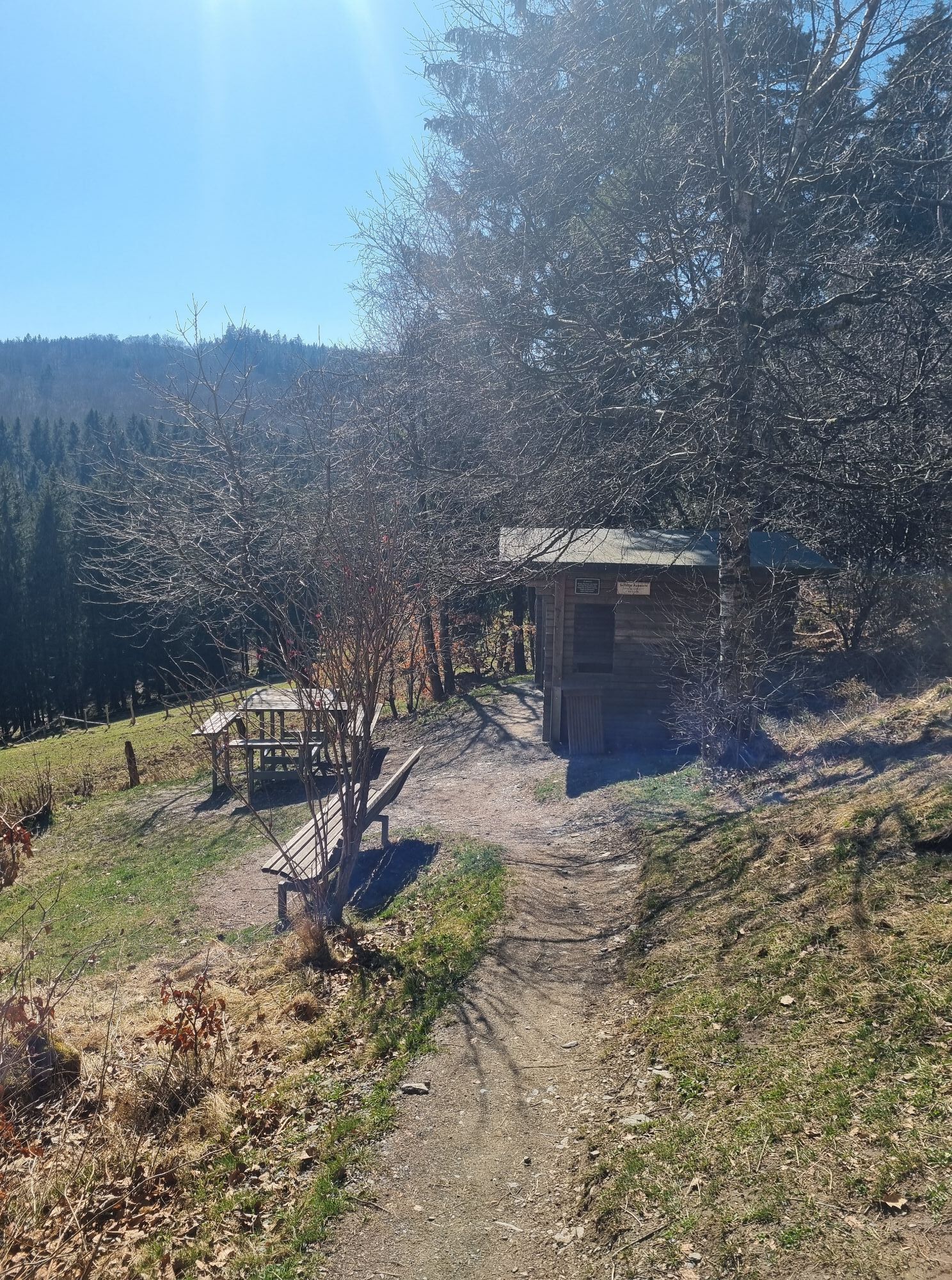
At the 5 km mark you will see on the right the Sonnenhof, the parental home of the famous former cross-country skier, multiple Olympic participant, former successful national coach, and current sports director of the Willingen/Winterberg Olympic training center, Jochen Behle. In front of Cafe Waldesruh (closed on Mondays), the path turns sharply left and leads now halfway up along Burgring through tall spruce forest. After about 1 kilometer a steep hiking trail: here right up into the saddle between Burgring and Hegeberg. A shelter and a bench invite you to rest at the end of this ascent. You should also enjoy the beautiful view of Schwalefeld, the surrounding mountains, and down the Aar valley here. At km 7.5, you reach a historic site, the legendary Schwalenburg. Today only the three ring walls can be recognized there, with a total length of 1,659 meters. From the small observation tower located in the middle wall, you have a good overview of this mighty site. You leave the prehistoric fortification at the outer wall, and the descent into the Aar valley begins. Now through open fields, you reach the valley. Between km 9 and km 10, refresh your tired feet in the water-treading basin, because now a steep ascent awaits you again, leading up the Frankenpfad to Rattlar. This path owes its name to history. Charlemagne is said to have passed here with his army in 772 to destroy the Eresburg near Obermarsberg. But it remained intact.
Kilometers 10 to 15
After a strenuous ascent and after leaving the forest, you can recover from the exertions in the "Bratpfanne". The Bratpfanne is a small seating area located on the left below the path. The name was coined decades ago by guests from Rattlar because in this wind-sheltered location the sun shone so hot from the sky that one felt like being fried. The open fields allow various views of the highest village in the Upland and the Hermannsberg directly in front of you. According to legend, Hermann the Cherusker secretly met his later wife Thusnelda here, the daughter of the Roman-friendly prince Segestes, who is said to have lived in the Schwalenburg. However, the legend lacks any scientific basis. On the right side, you can still see two manufacturing plants for wood and plastics. After a barn, the path turns left and leads past the sports field. If you feel hungry or thirsty now, you should refresh yourself in the only inn in town ("Schäfer", closed on Tuesdays) for the coming kilometers because the next opportunity for a break is only after another 12 km in the district of Eimelrod Dorf. Behind the sports field turn left first and after a few meters right again. Now the route leads you up over a ridge with magnificent panoramic views (604 m above sea level) before descending into the Dommel valley (506 m above sea level). Past the old Dommel mill, whose first documentary mention dates back to 1566 (now inhabited), the next ascent awaits you soon, up to the Dommelhöfe (635 m above sea level). Past some weekend houses hidden in the forest, the path leads you up through beautiful beech forest. Upon reaching the farms, you should simply leave the trail briefly and go left up to the Dommelturm (726 m above sea level). This detour is rewarded with a unique panoramic view into the Sauerland and Waldecker Land. You have now hiked the undoubtedly hardest and most demanding part of the Uplandsteig. So, "Frisch auf"!
Kilometers 15 to 20
Although the remaining 51 kilometers cannot be called flat stages, no more extreme climbs await you now. From the Dommelhöfe, follow the paved road to the district road, which you cross. Now the landscape clearly changes its appearance. While the previous path was dominated by mixed and spruce forest, it is now mainly meadows and fields shaping the landscape, rewarding the hiker with wonderful panoramic views. For the next 2 kilometers, your eyes can already get used to this. Shortly after km 19, the path turns right. A shelter invites you to rest, and in the distance you see Lake Diemel. After a possible break, follow the field path downhill to the district of Hemmighausen.
Kilometers 20 to 25
You reach the small Upland village between km 21 and km 22. Previously, this predominantly agricultural village—as well as Eimelrod and the neighboring Deisfeld—was a Hessian enclave. The villages lay in the Waldecker Land but did not belong to the influence of the Waldeck lords. Only in 1929 did the parish of Eimelrod return to where it historically belonged—to Waldeck. First in Hemmighausen you cross the little river Diemel, after which Lake Diemel is named. At the village community house, turn right and walk about 100 meters up the paved village street, then turn left into the old school path. This is the route the pupils from Hemmighausen had to take to attend school in Eimelrod. It was cleared again especially for the Uplandsteig. A short, steep ascent brings you up onto the connecting road between the two Willingen districts. Eimelrod itself is bypassed on forest roads down into the valley of the Mülmecke (466 m above sea level). If you want to take a break, you're welcome—inns ("Sauer" and "Zur Zweere") and small restaurants are not far away in the village. Back on the U-steig, follow the creek briefly, cross it, and hike in a wide arc up to Bockelau, where at km 25 a small shelter invites you to rest. The ascent is rewarded with beautiful views.
Kilometers 25 to 30
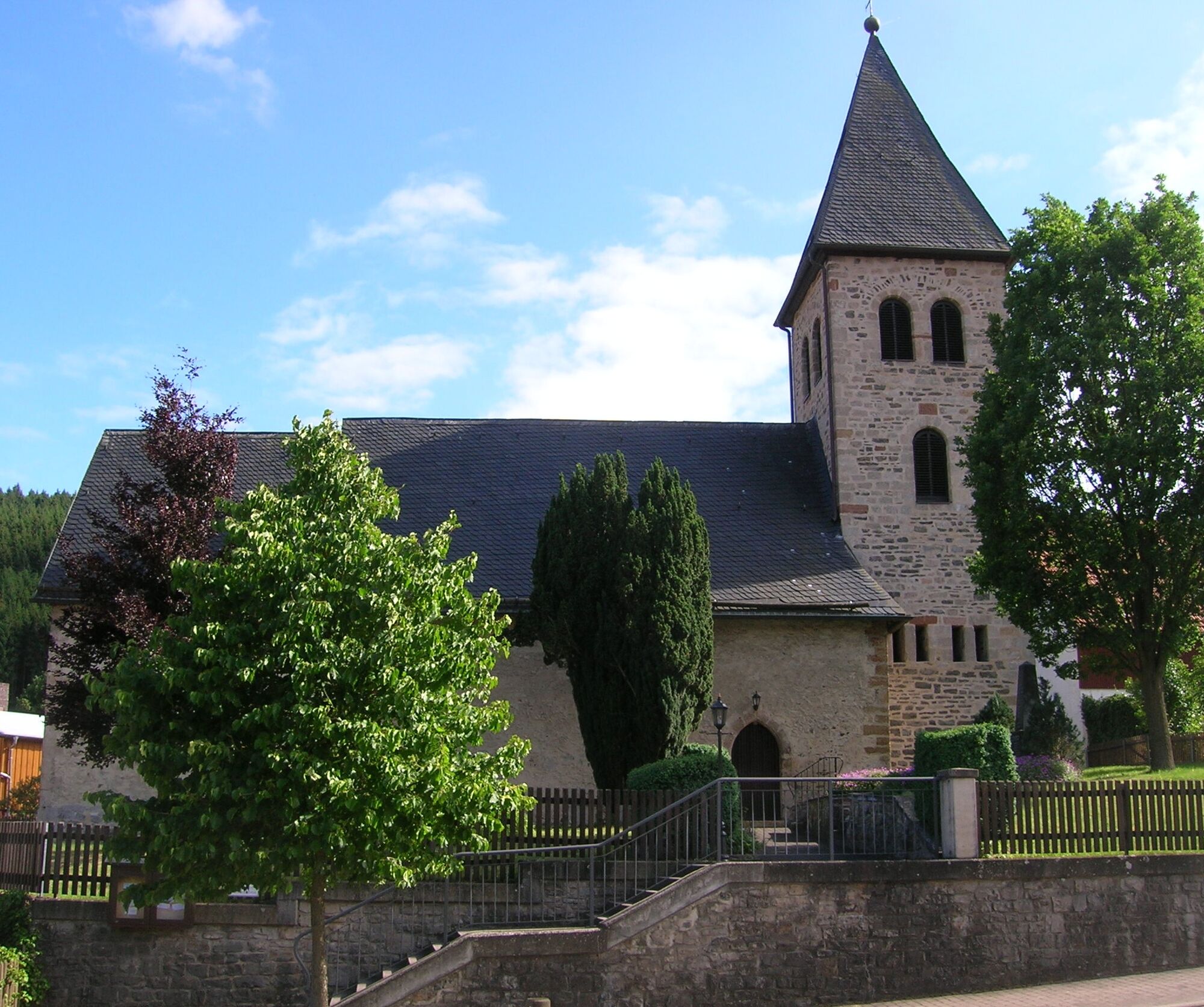
And now continue down into the valley of the Neerdar. This small river also gave its name to the village of Neerdar. On the way there, shortly after km 26, you pass under the railway line connecting Willingen with Korbach, which was reopened in 2004. In Neerdar, you can refresh yourself again at the Gasthof Kiel (closed on Wednesdays). Also worth seeing is the restored church in the village, whose old parts date back to the early 13th century. After the small Neerdar bridge, turn right, first 100 meters along the federal road, which you cross, then turn left into the street "Zur Padbeck." Pass the village community house and after 20 meters turn right up. Through a field path, you soon enter a forest again. Here, turn left and hike along the edge toward Bömighausen. You reach this district after about 2 kilometers. The Uplandsteig does not lead directly into the village but turns right shortly after km 29 and gently uphill above a holiday settlement. At the end of this settlement, stairs lead down to a small valley on the left. Arriving there, you cross the street, go through a small forest, and after a few meters on the left look down to the nice village of Bömighausen. So if you are hungry and thirsty, please turn here (Gasthof Ritter in the village center is open for you except on Wednesdays).
Kilometers 30 to 37
Shortly before km 31, the U-steig leads half right and slightly uphill. Above a small settlement of "Nurdach houses," at km 32 you reach a small bathing lake that invites you to linger or even take a small swim. Here you have also reached the lowest point of your hike (420 m above sea level). Now begins a section of about 15 kilometers that goes almost constantly uphill. But don't worry, the inclines are not as extreme as in the first kilometers. It is rather a gradual ascent with many flat stretches. First, at the lake, turn sharply right and hike through a small valley towards Welleringhausen. At the next crossroads, turn right again. Here you follow the asphalt road for about 200 m and then turn left towards the edge of the forest. After a beautiful kilometer, we must go left down into the valley, cross the wild brook, and again left/right up into the forest at Grotenberg. Attention: the path changes direction several times. Upon exiting the forest on the other side at about km 35.5, you reach one of the most beautiful viewpoints of the Uplandsteig. Due to the rare plants that still occur here (e.g., the golden thistle), the entire slope was declared a nature reserve. A small shelter directly on the path invites you to take a look at the wide landscape. In clear weather, you can see from here the tower on the "Hohen Gras" near Kassel, the "Peterskopf" at Lake Eder, and the converter on the "Wüstegarten" in the Kellerwald. The Georg-Viktor tower greets you from Eisenberg (near Korbach), and the wind turbines near Gembeck turn in the wind. Along the slope, the route continues, and you go left down to the district road.
Kilometers 37 to 44
Turn right along the district road for about 100 meters, then turn left onto a field path at km 37. After another 200 meters, the Uplandsteig divides: go straight ahead, and after about 3.5 kilometers, you come via the so-called valley variant through the Ohl to Usseln. The mountain variant turns left there, and you experience "pure nature" for about 28 km until shortly before the destination. However, the next opportunity to take a break is only after about 18 km at km 56 with the Hochheide hut. Behind km 44, both variants meet again near the Diemel source. Thus, you can of course also follow the mountain variant to detour to Usseln.
Mountain variant km 37.3 - km 44.6:
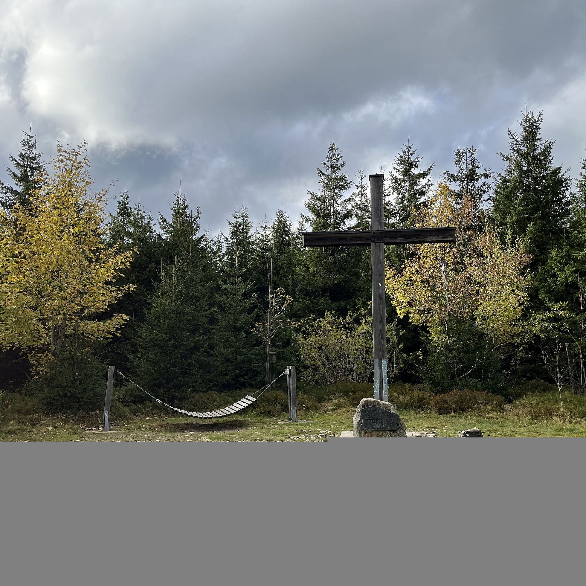
At the fork, first keep left and bypass the wooded hill until the country road connecting Düdinghausen and Usseln. There, turn right and after about 200 meters turn left again, where a huge forest soon takes you in, which you leave only briefly at km 42. When you step out of the forest here, a stunning view far into the country opens up (by the way, from km 37.0 to km 40.8 you are in North Rhine-Westphalia, crossing the state border twice between this neighboring federal state and Hesse). Now the trail leads up to the high plateau of Kahlen Pön to one of the many high moors located on the Uplandsteig. These biotopes, rare in Europe, have also been designated nature reserves here. At km 42.5, behind the summit cross, the Uplandsteig leaves the pristine moor and hikers go over the ski slope of the Pön lift towards the "Graf Stolberg Hut," from where you descend on the right at the boundary stone to the Diemel source. Above the newly designed Diemel source, you reach by a narrow path the point where the mountain and valley variants meet again.
Valley variant km 37.3 - km 44.1:
If you choose the valley variant, you initially continue straight on the field path and on level ground through a meadow valley before reaching a small forest area after about 1 km, which you walk around at the edge. Soon you will see the small house "Im Ohl" on the left. Here the path turns right, takes you over the Neerdar, then immediately turns left again. In the valley, you walk 2 kilometers uphill towards Usseln. This path is lined with many bushes and thus provides welcome shade in sunshine. At the top, turn right over the railway bridge, then immediately left down into the village. Here you find numerous hotels, guesthouses, and restaurants to strengthen yourself properly or to look for accommodation for the night. A visit to the unique Milk Museum is also highly recommended, which the path passes directly. In the town center, the path turns left and up Sportstraße to the Diemel valley. Directly at the sports field you also find the tourist information, where you get help with any questions. The path continues on a narrow track through Lohwald, then past meadows, turning right/left at km 43 to a parallel path, where after another kilometer in the forest, above the Diemel source, you meet the mountain variant of the Uplandsteig (at km 44.6).
Kilometers 44 to 50
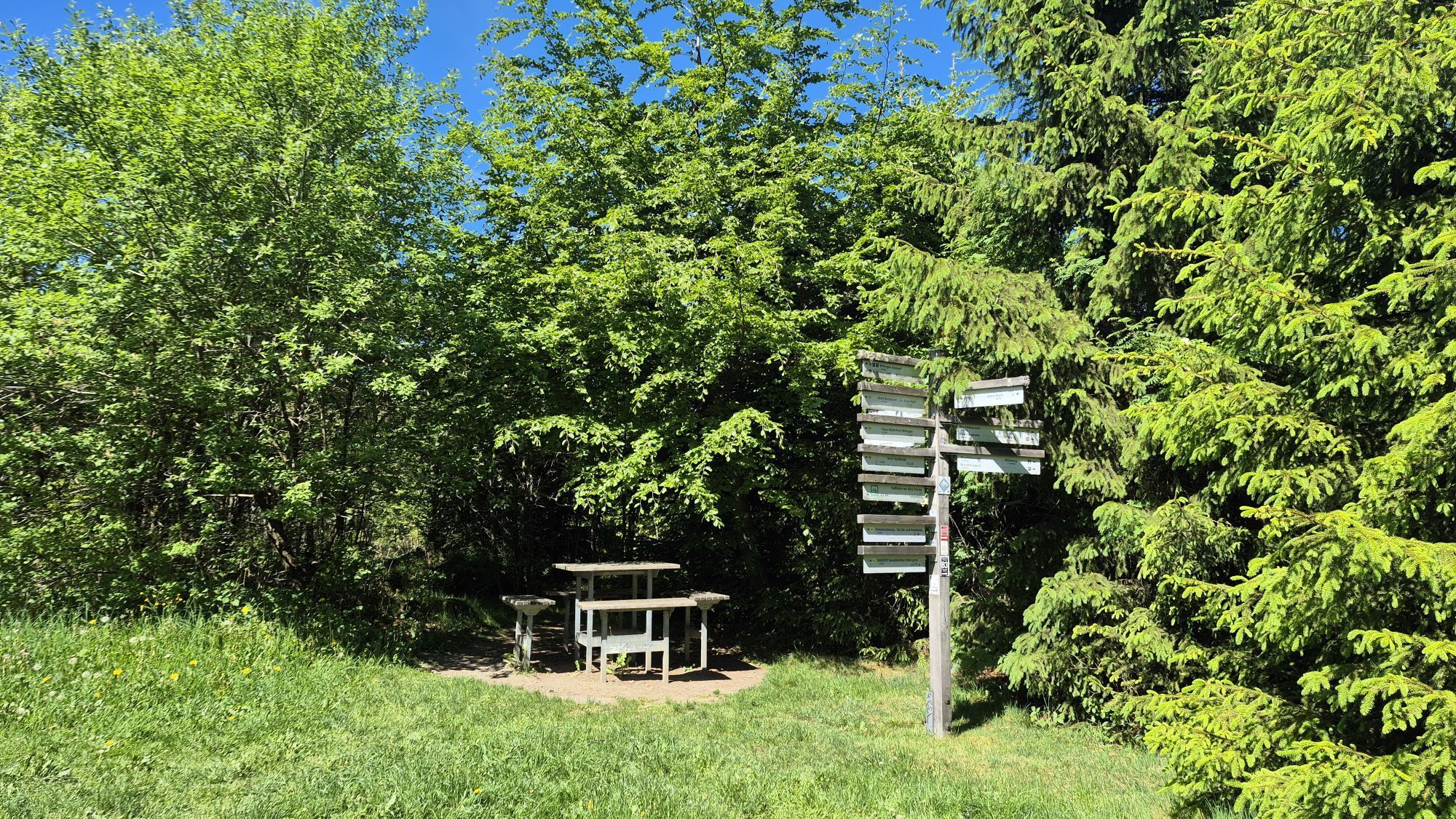
At the Diemel source, around km 44.4, a shelter with a newly designed seating area invites you to rest and picnic. Next to the shelter, the Uplandsteig continues and via a path, you reach a broad hiking path (where mountain and valley variants meet), which you follow left here. Through mixed forest, slightly uphill, you soon reach a junction where 5 paths meet (Auf´m Knoll). Cross this junction and reach at km 46 the "Schöne Aussicht" (Beautiful View). The name promises not too much: you enjoy wonderful views southward, far into North Rhine-Westphalia. Until km 52, the Uplandsteig now runs exclusively within this federal state. At the next junction, the path turns left and leads through spruce and deciduous forest until you exit the forest and reach a forest road. Here, the path goes right uphill along Krutenberg. Again, wonderfully beautiful vistas between km 47 and km 49, in good weather as far as the Taunus. Past mountain meadows and through fir forest, the trail turns left after 500 m and shortly before km 49 goes about 50 meters through the forest and then continues right downhill. At km 49.4, you touch the Hessian border again. But watch out: very swampy areas characterize this section because you are here in one of the source areas of the Itter, the small river running through Willingen. Furthermore, the Uplandsteig touches the nature reserve "Alter Hagen," which extends over wide parts of the Stryck valley towards Willingen. Worth protecting, you will find many rare plant and animal species, nutrient-poor bogs and moor meadows, birch and alder swamp forests, as well as orchid-rich marsh meadows here. Having bravely left these wet areas and paths behind, at km 50.4 at a large junction you meet the Rothaarsteig, an also certified 154 km long hiking trail running from Brilon to Dillenburg. At this crossroads—at Hillekopf—a shelter with new table groups invites you to rest. Then continue northwards. Uplandsteig and Rothaarsteig now follow the same route for the next 9.5 km. Whether it stays so beautiful remains to be seen: some planners are planning wind turbines high on Krutenberg!?
Kilometers 50 to 55
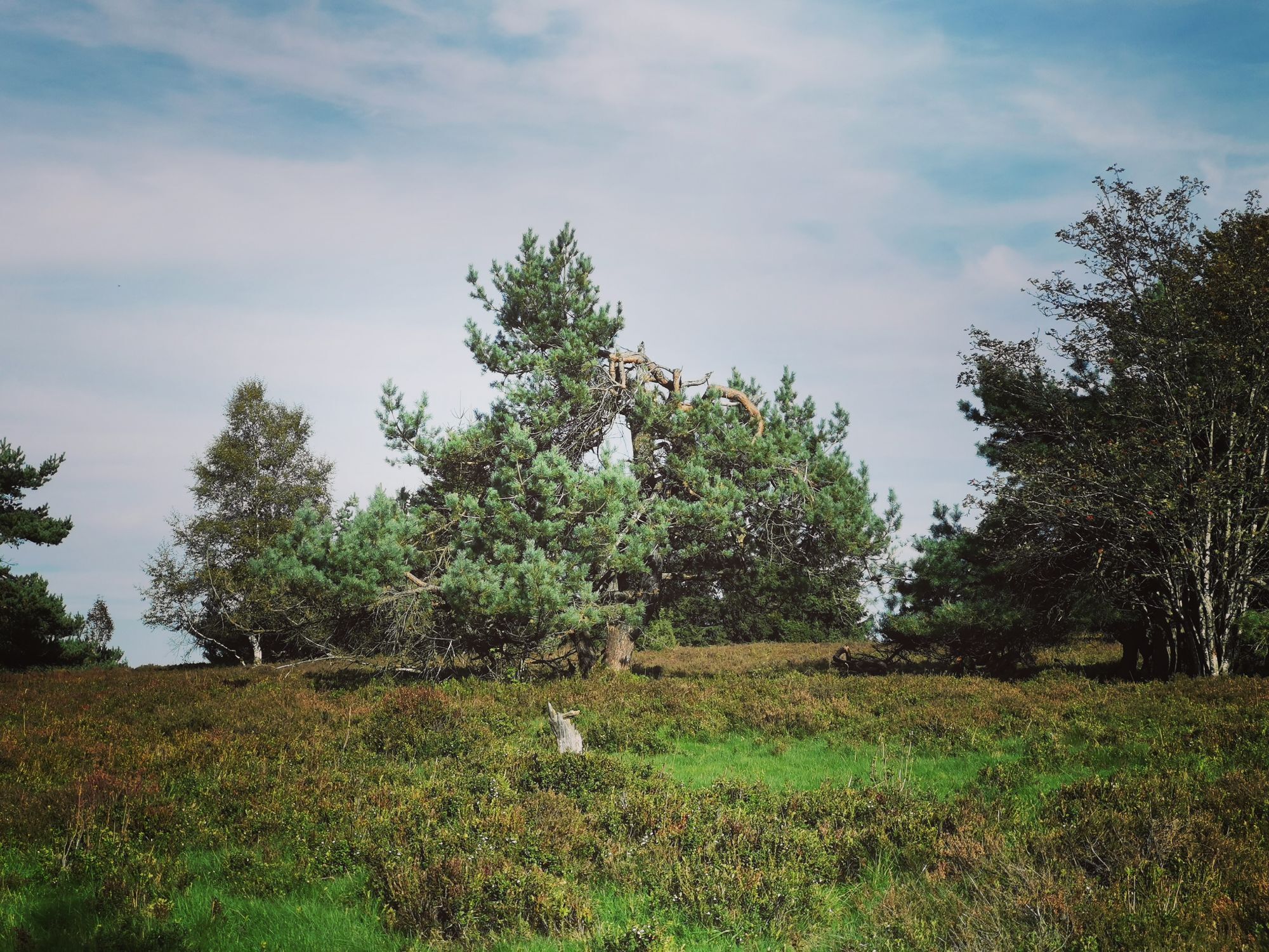
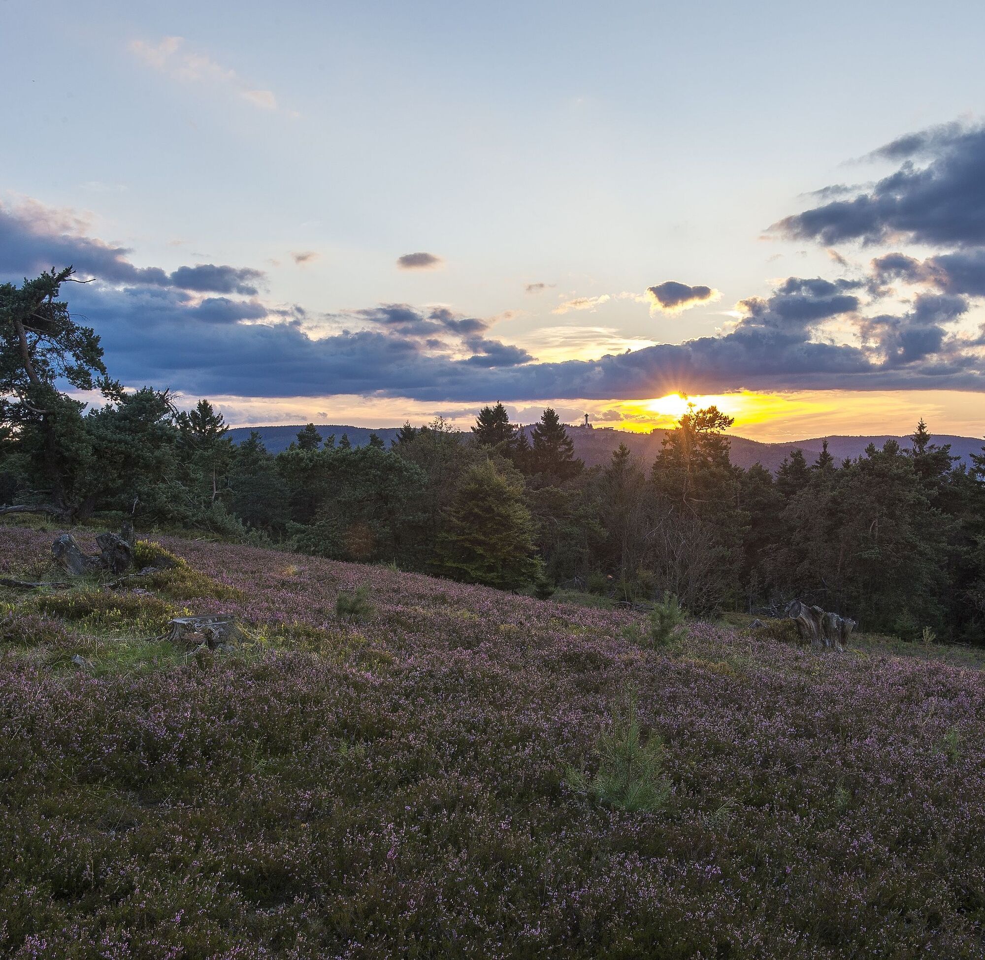
On the following section, only a few vertical meters must be overcome because the Uplandsteig now runs on a ridge between 740 m and 843 m above sea level. So on the next kilometers, you can enjoy a beautiful, relatively flat hiking path, which first goes through dense spruce forest downhill to the main access path to Hildfeld. There, turn right uphill and immediately left again, continuing along the border between Hesse and North Rhine-Westphalia towards Hochheide. Along the way, you repeatedly find historic boundary stones marking the border between the Electorate of Cologne's Sauerland and the Waldeck Land. Soon you reach the "Streit", partly also called "Scheid", a place with spacious seating groups and a shelter. Here at km 53—turning left—is also the gateway to one of the most beautiful nature reserves in the region: Europe's highest high moor! By the way, in winter a preferred area of cross-country skiers, wonderful trails invite all skiing enthusiasts on both sides of the border. But first past the Hoppecke source, then from the main path on a narrower trail turn right through "Erika." So enjoy this high moor during the next kilometer, which also belongs to the "Alter Hagen" nature reserve. This is true all year round! Certainly more beautiful in July and August when the "regina vulgaris" blooms and blueberries ripen, try some of the delicious fruits :-)! But soon you see a cross on the left, so turn at the intersection and head for the Clemensberg (838 m). The summit cross marks not only the highest point on the high moor, but from there you also enjoy wonderful views far into the Sauerland, the land of 1000 mountains (or rather 2,731?). Below the cross is the Hildfeld quarry, where diabase is mined, a very hard rock. The extraction amounts to about 3,000 tons daily!
Kilometers 55 to 60
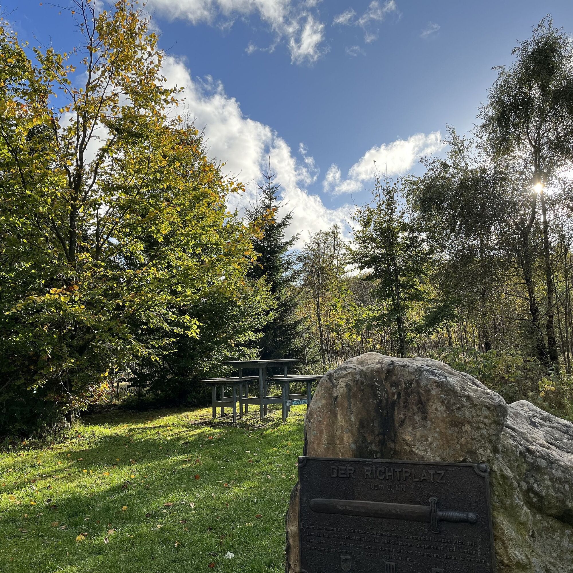
A short, steep descent leads you again through the nature reserve to the next break opportunity at the nearby Hochheide hut. After the break, you finally leave the high moor heading towards Burbecker Platz and Langenberg, and after a short time pass an attractively situated mountain meadow, also called "Sauheide." Even on this section, you remain on the ridge and thus only face minor ascents. After hiking through dense fir forest (or was it spruce?), just before km 58, reach the "Upper Burbecker Platz," where please turn right. A small ascent follows and leads again through forest. Then turn left/right and you reach at km 58.5 the highest mountain of North Rhine-Westphalia, the Langenberg (843 m), and thus the highest point of your hike. Previously, tall spruce forest blocked all views here. Since "Kyrill" swept over Sauerland in January 2007, there is partly free view to the north, partly still heavily overgrown. From now on, it is always downhill: the following section—down to km 60 at the Richtplatz—impresses with its natural, partly damp path layout and brings you ever closer to the destination on narrow trails. Arriving at the Richtplatz (760 m high), you are at a historic site. As the name suggests, court was once held here due to border disputes, convicted yes, but no one was executed.
Kilometers 60 to 66
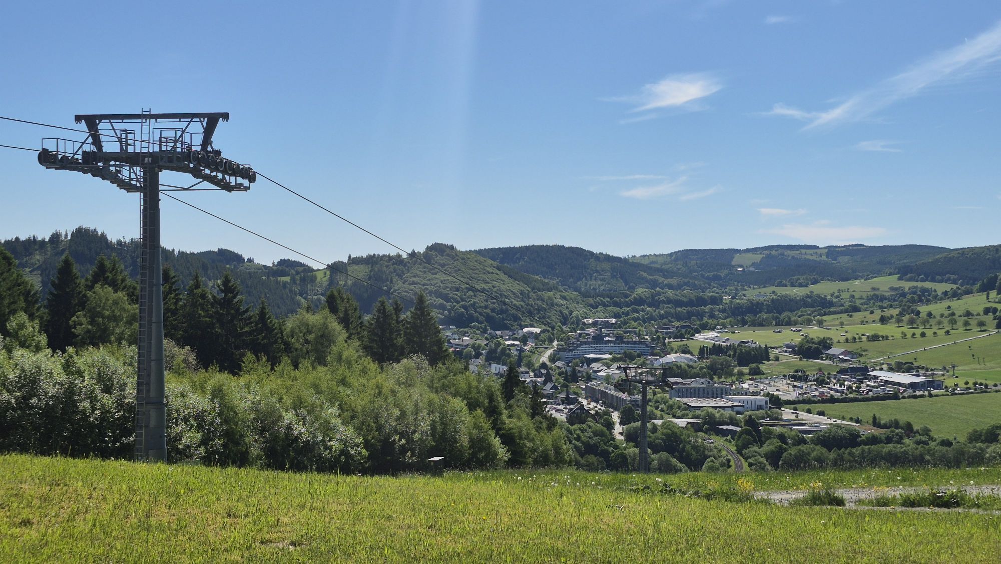
At this historically significant site, first turn right, then after about 100 m turn left again onto a wide forest path. On this, after 1 km, cross the downhill slope of the Sonnenlift, where you can enjoy a nice view of the World Cup venue Willingen (Upland). And continue downhill to Ritzhagen. There, at km 62 you reach the second ski lift on your hike, the new 6-seater Ritzhagen lift.
Now it's almost done. A short left downhill into the valley of the neighboring Wettesteinbicke, and after km 64, you reach the first houses of Willingen. Various restaurants along the last meters invite you once again to reward yourself for the demanding hike with a good drink or a delicious meal. The indestructible also have the option to try the summer toboggan run or the kart track at the Ritzhagen slope, all near the Uplandsteig. Along the way lie also the glassblowing workshop and the mountain rescue service, as well as a climbing hall (with bouldering and indoor archery). So, how about trying the 12 m high climbing wall? On the way to the visitor center and Uplandsteig hiking sign, you can immediately see the cable car to Ettelsberg but also the only industrial building in town producing bathroom furniture. No matter how you manage the Uplandsteig, whether in sections or as a marathon, this variety of beautiful views will certainly leave a lasting impression on you. After that, you can be proud to have mastered the demanding 66 km ("Wanderroute sixtysix"), which also offers you peaceful moments. Now dive into the diverse offerings that Willingen in the Upland has to offer.
Sturdy footwear, weather-appropriate clothing, backpack provisions, and sufficient fluids (water, tea) are recommended.
By car via B251 to Willingen (Upland), car access to the parking lot at the visitor center, Am Hagen 10, 34508 Willingen (Upland)
Bus/train to Willingen station, 10 minutes walk to the starting point at the visitor center
Free parking at the visitor center/Lagoon Bath
Certified as a quality hiking trail by the German Hiking Association.
The entire Uplandsteig can be comfortably managed in 3 day routes (3 x 22 km).

Kamery internetowe z trasy
-
Talstation Ettelsberg-Seilbahn
-
Talstation Ettelsberg-Seilbahn
-
Talstation Ettelsberg-Seilbahn
-
Talstation Ettelsberg-Seilbahn
-
Talstation Ettelsberg-Seilbahn
-
Kurhotel Hochsauerland 2010
-
Kurhotel Hochsauerland 2010
-
Kurhotel Hochsauerland 2010
-
Kurhotel Hochsauerland 2010
-
Diemelsee
-
Sternrodt Skilift
-
Hochheideturm - Ettelsberg
-
Diemelsee – Heringhausen – Strandbad mit Seepromenade
-
Skywalk
-
Skywalk
-
Skywalk
-
Skywalk
-
Skywalk
-
Willinger Brauhaus
-
Ettelsberg
-
Hochheide
-
Hochheide
-
Hochheide
-
Hochheide
-
Talstation Ettelsberg Seilbahn
-
Ettelsberg Seilbahn Bergstation/ Hochheideturm
-
Sesselbahn Ritzhagen Berg
-
Mountainbike-Strecke K1
-
K1 Gipfelkreuz
-
Bikepark (Sommer) / Skipiste an K1-Hütte (Winter)
-
Spielplatz, Bergsee, K1-Gipfel
-
Spielplatz am Hochheideturm
-
Ettelsbergplateau
-
Ettelsberghütte
-
Bergstation Ritzhagen
Uzyskaj wgląd
Zawsze na żywo z ponad 9 500 kamer internetowych. bergfex Jako użytkownik Pro, możesz teraz zobaczyć odpowiednie kamery internetowe dla wielu wycieczek w aplikacji wycieczki od. Pozwala to na bezpośredni podgląd aktualnych warunków.

Popularne wycieczki w okolicy
-
4,7
Bruchhauser Steine B1
średniWędrówka 11,8 km -
5,0
Circular route Skywalk/Hill - Ettelsberg
światłoWędrówka 4,10 km -
5,0
Winterberg - rund um den Kreuzberg
światłoWędrówka 10,9 km -
4,5
Bruchhausener Steine
ciężkiWędrówka 5,15 km -
5,0
Rundwanderung Ruhrquelle Winterberg
światłoWędrówka 3,74 km -
4,8
Rundwanderung Diemelsee
światłoWędrówka 8,54 km -
5,0
Rothaarsteig-Spur - Grönebacher Dorfpfad
średniWędrówka 10,6 km -
4,0
Willingen (W8)
średniWędrówka 12,9 km -
Winterberger Hochtour
ciężkiTrasa tematyczna 90,7 km -
5,0
Willingen (W6)
średniWędrówka 12,9 km
Wędrówki i tropienie


Nie przegap ofert i inspiracji na następne wakacje
Twój adres e-mail została dodana do listy mailingowej.





