


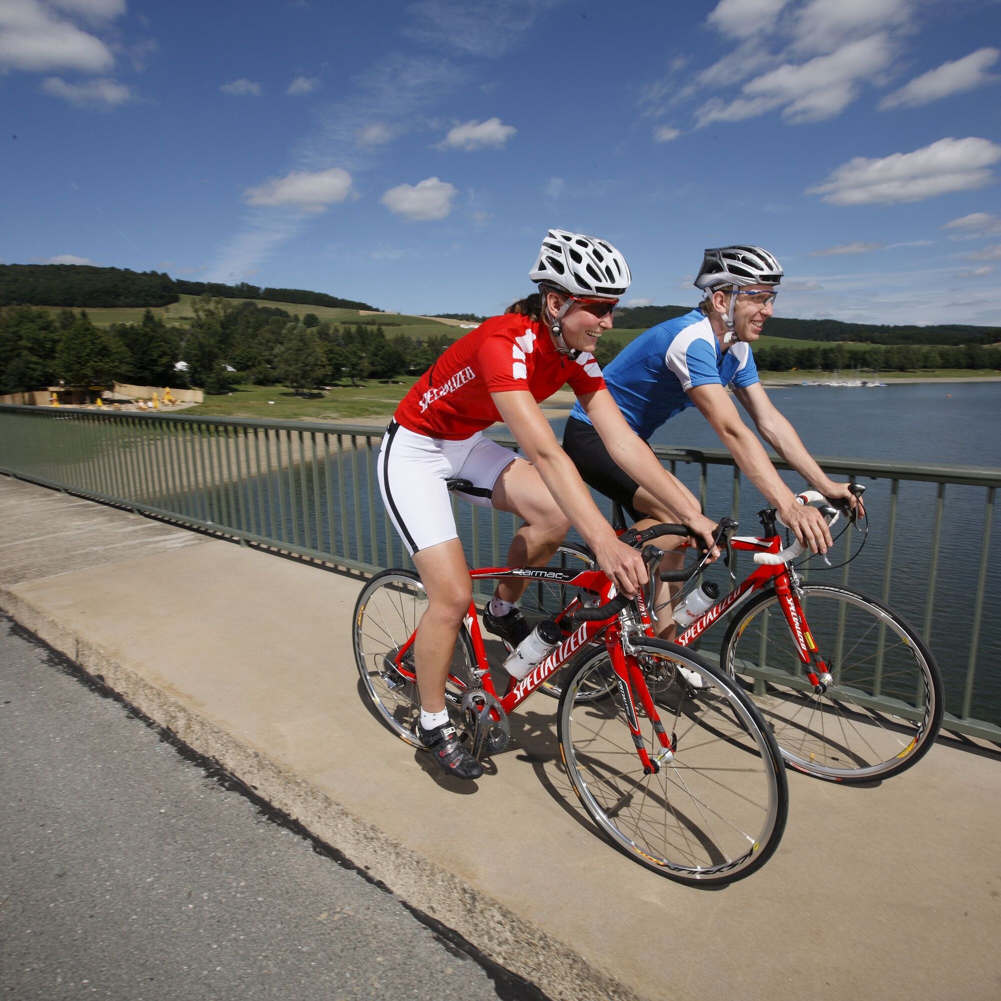
Road Bike - Diemelsee Loop
Zdjęcia naszych użytkowników
-
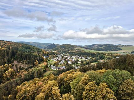
 © Katja HenneckeUtworzono dnia 07.04.2024
 -
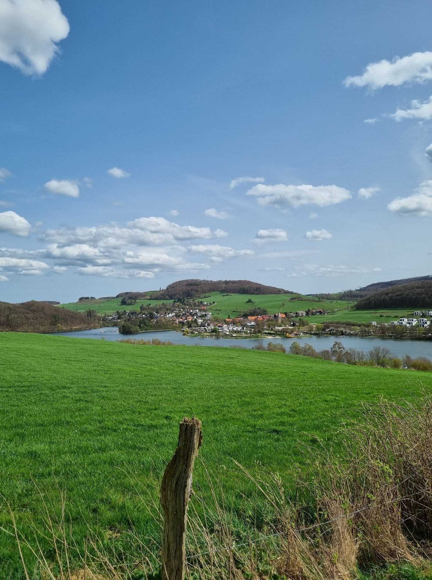
 © Katja HenneckeUtworzono dnia 07.04.2024
 -
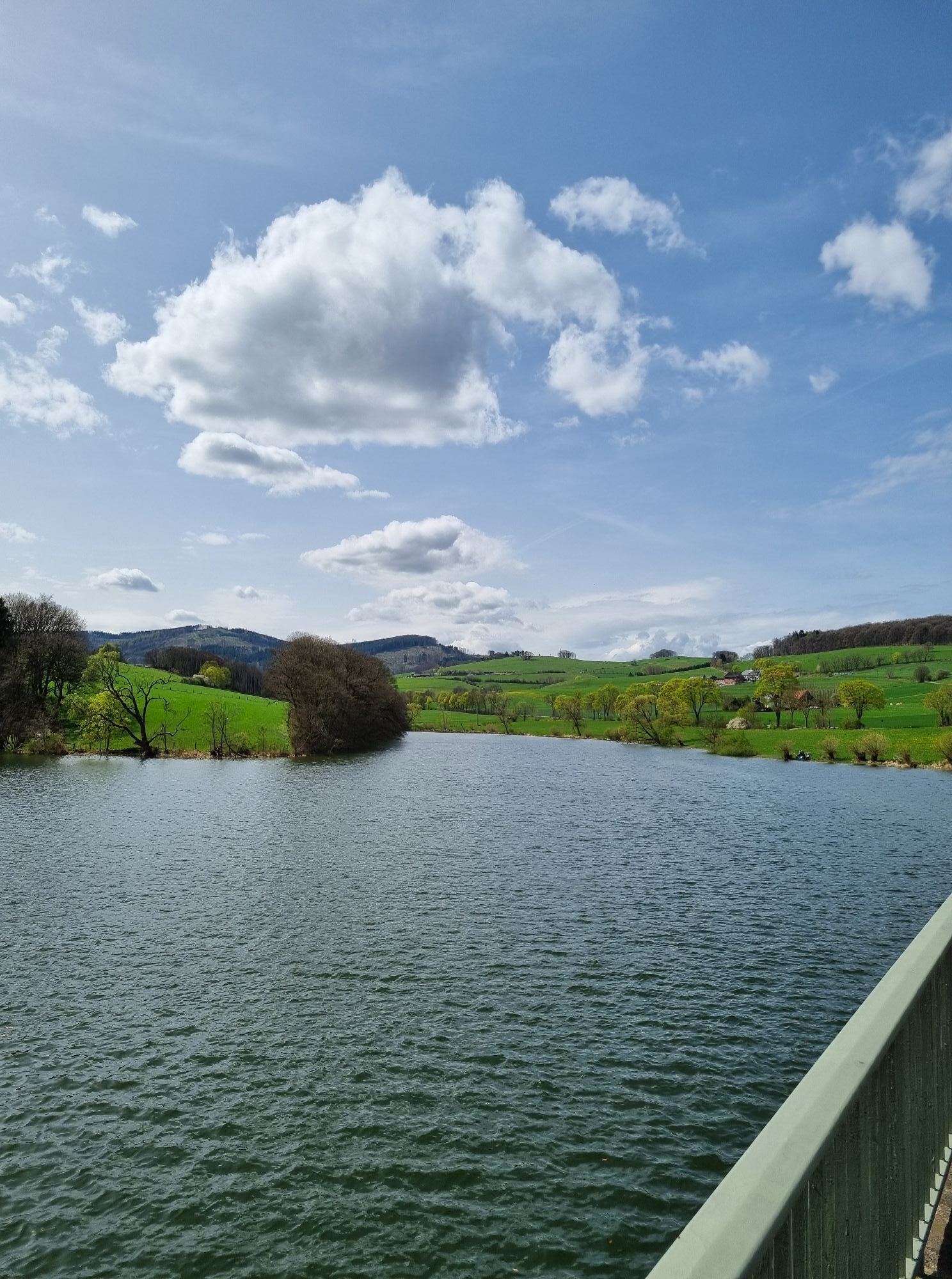
 © Katja HenneckeUtworzono dnia 07.04.2024
 -
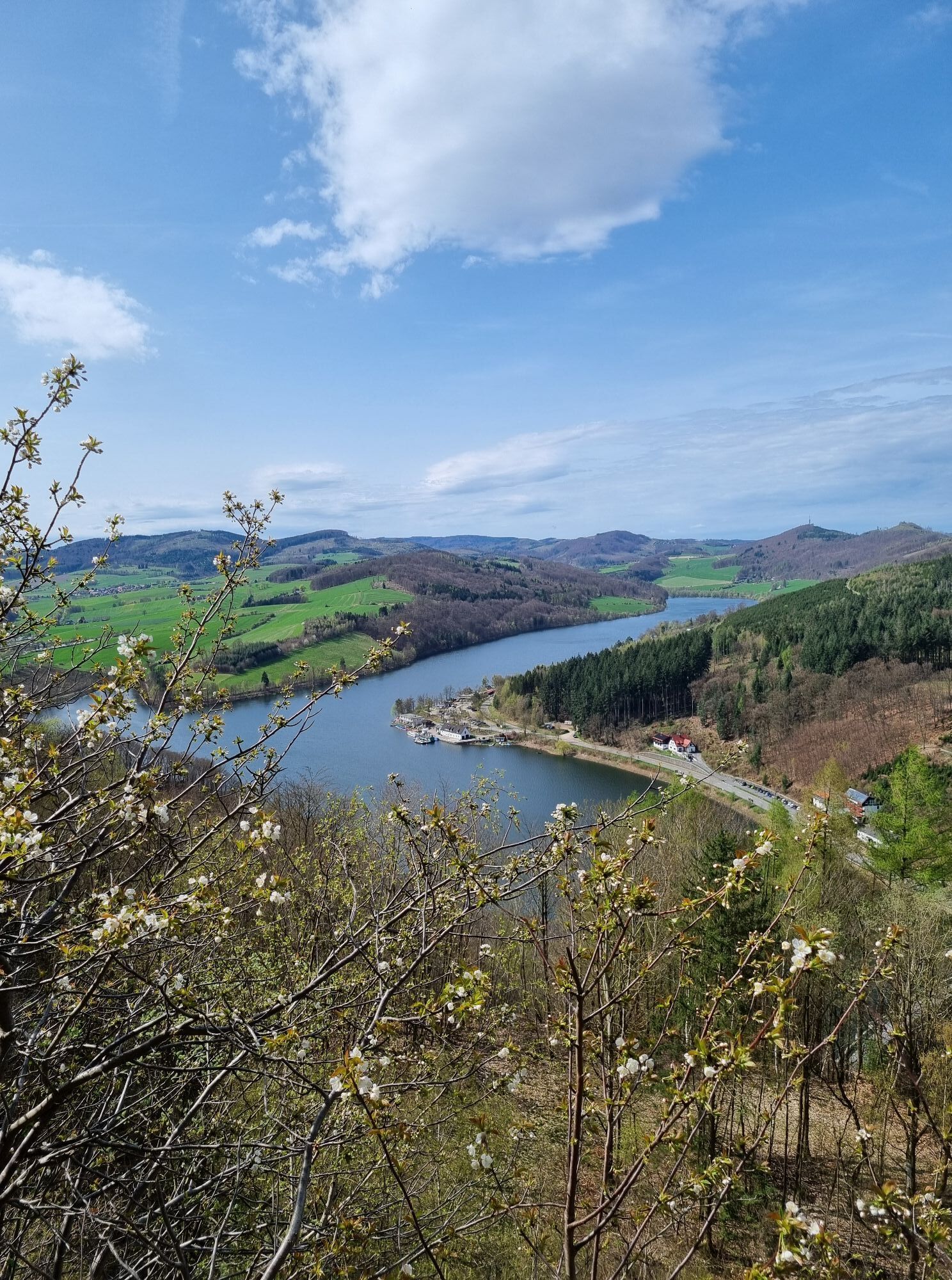
 © Katja HenneckeUtworzono dnia 07.04.2024
 -
 © Katja HenneckeUtworzono dnia 07.04.2024
 -
 © JackyUtworzono dnia 18.10.2025
 -
 © JackyUtworzono dnia 18.10.2025
 -
 © speroni1959Utworzono dnia 21.04.2025
 -
 © speroni1959Utworzono dnia 21.04.2025
 -
 © speroni1959Utworzono dnia 21.04.2025
 -
 © Christian ArensUtworzono dnia 12.10.2024


After starting at the visitor center in Willingen, the route initially leads us to Usseln, where at the town's exit at about 600 m altitude a 4 km descent awaits us to the junction to Eimelrod.
Arriving...
After starting at the visitor center in Willingen, the route initially leads us to Usseln, where at the town's exit at about 600 m altitude a 4 km descent awaits us to the junction to Eimelrod.
Arriving in the village center of Deisfeld, a 7 km descent follows to Benkhausen and Adorf.
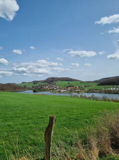
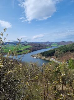
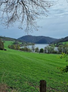
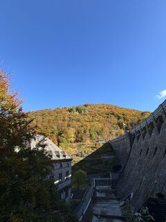
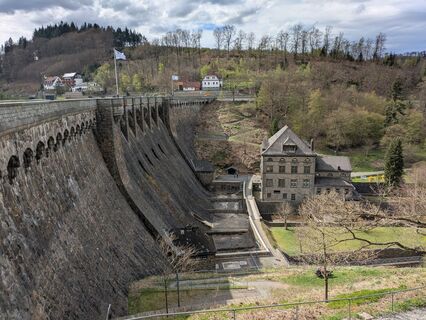
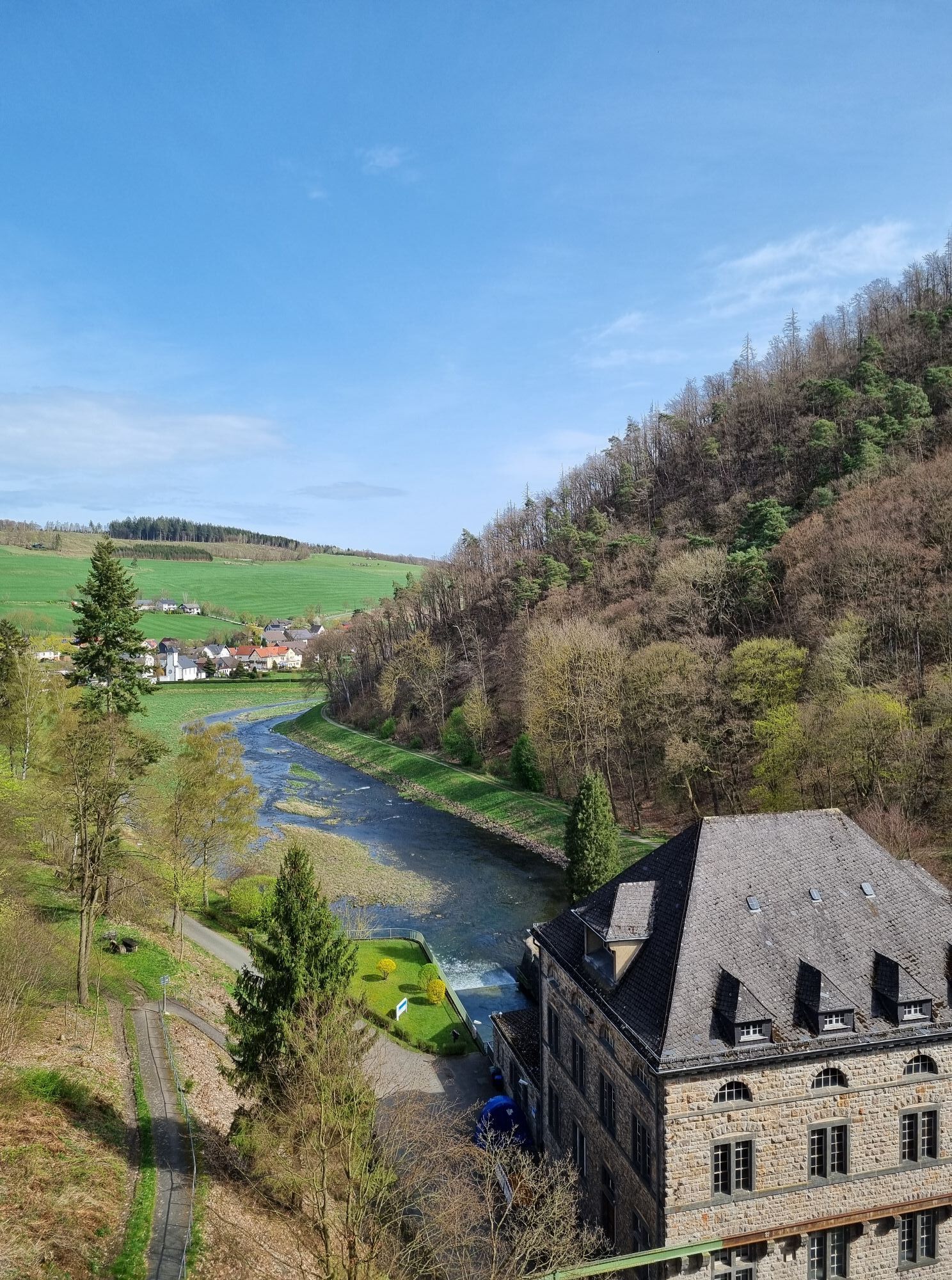
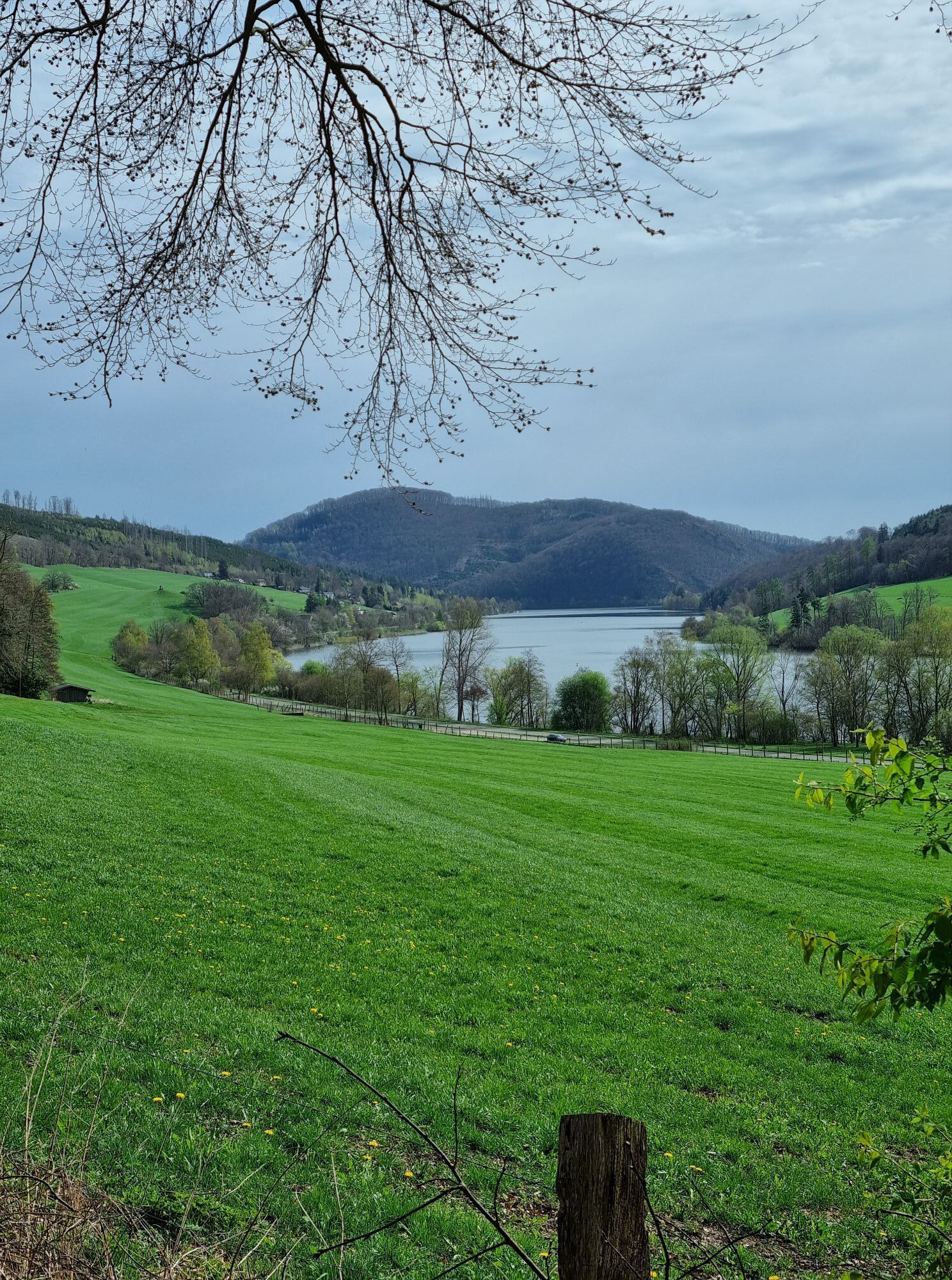
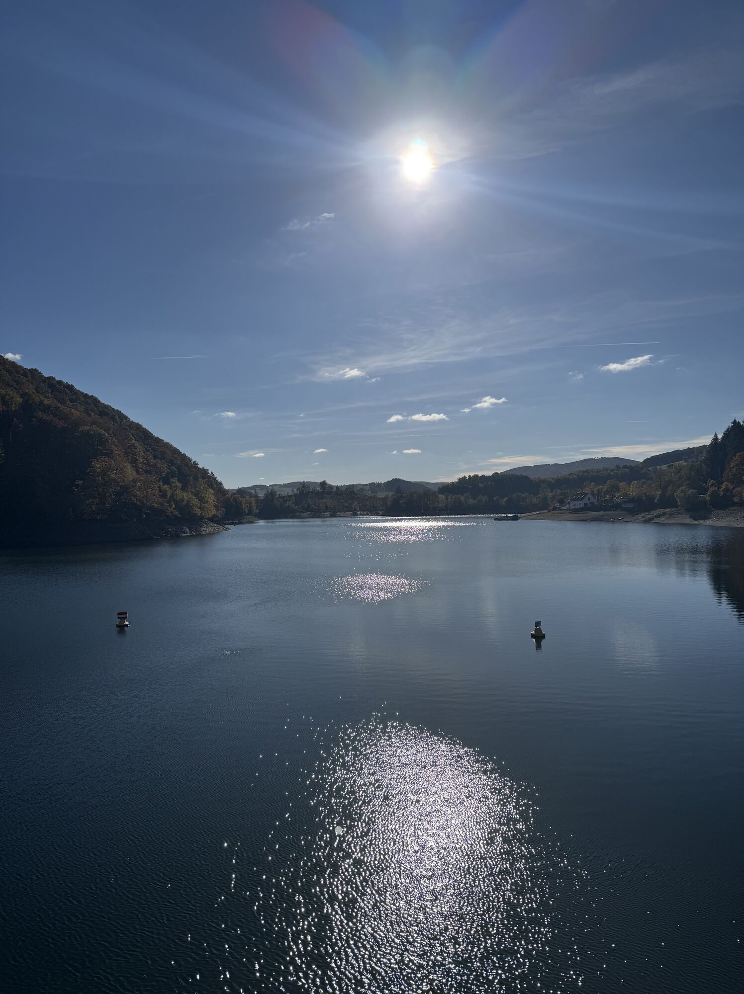
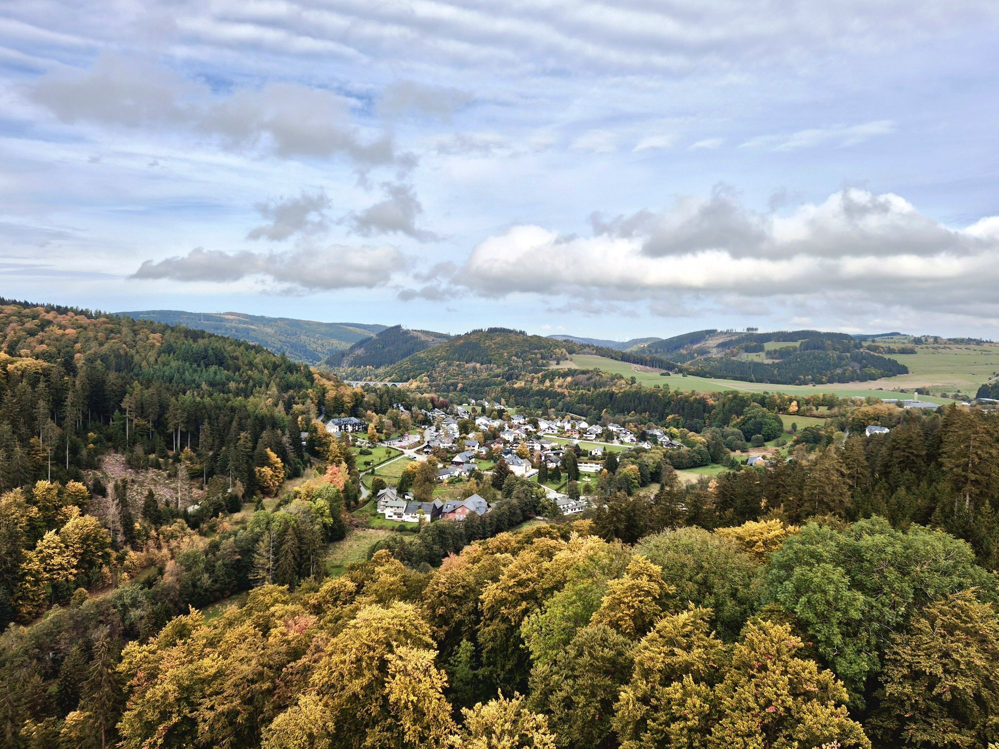
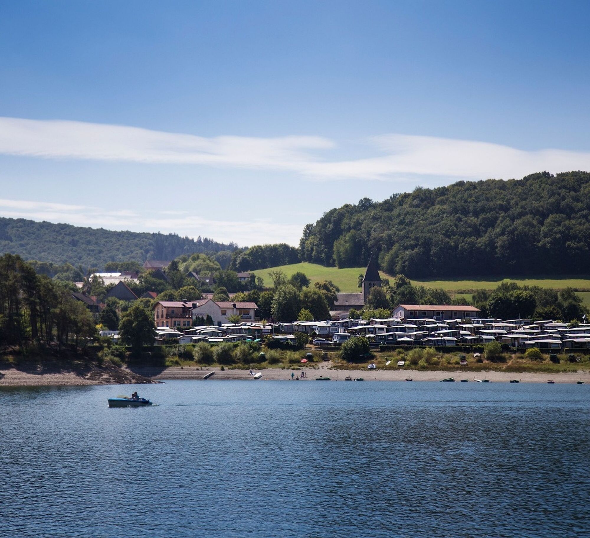
In two "waves" we ride over Sudeck and Rhenegge back towards Upland. Before that, we reach the Diemelsee at Heringhausen and circle it. Several local venues around the lake invite you for a short rest.
On both sides of the road, the foothills of the Hochsauerland rise up.
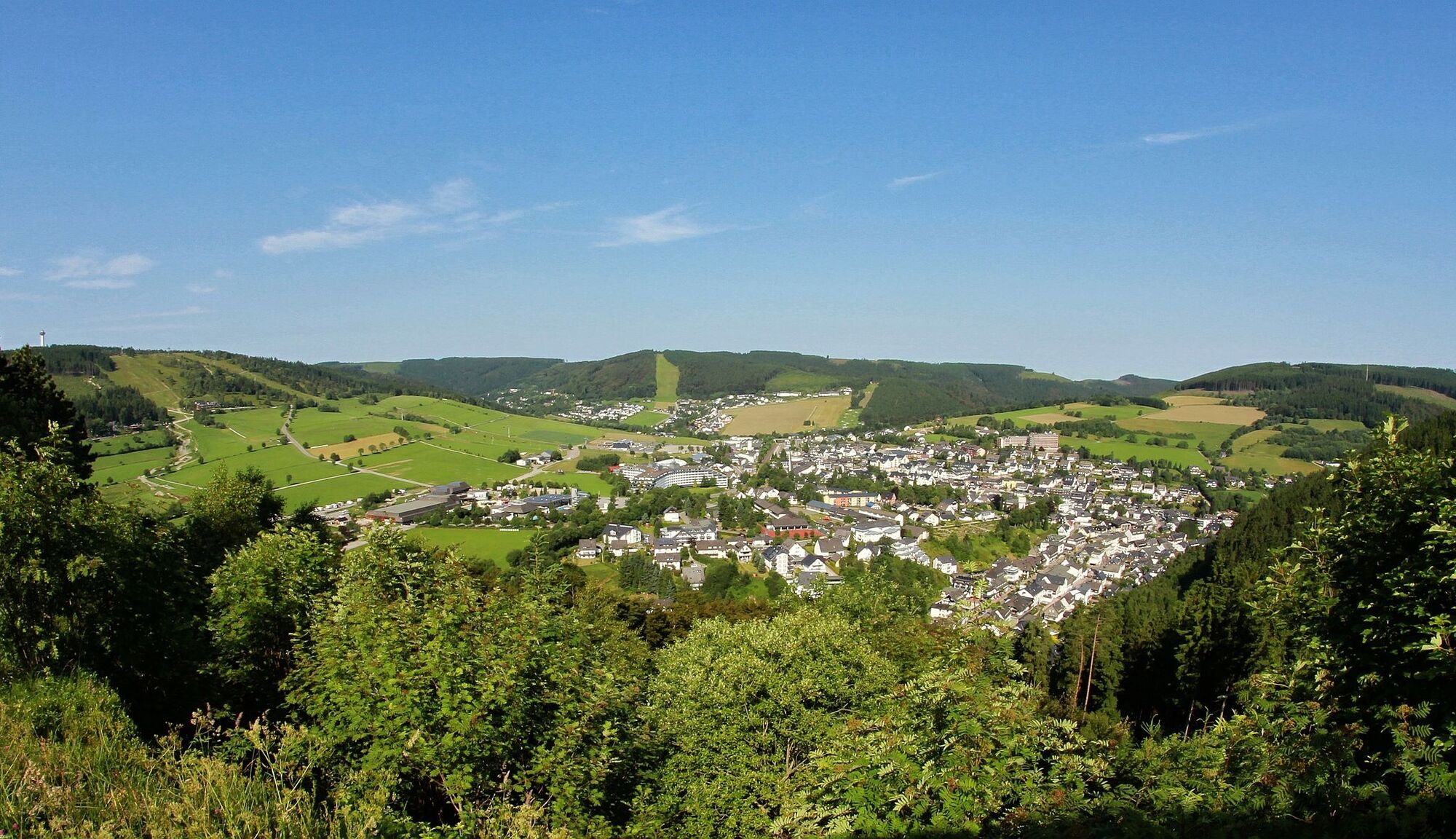
The destination lies at the foot of the Ettelsberg massif with the Hochheideturm towering above. After a refreshing shower in the Lagunenbad and a cozy round with a cappuccino in one of the numerous cafes, we can prepare ourselves for the road bike rides of the following days.
The route offers longer downhill rolling sections and connects them with two shorter “tough” ascents.

Willingen - Usseln - Eimelrod - Deisfeld - Schweinsbühl - Benkhausen - Sudeck - Rhenegge -
Heringhausen - Bontkirchen - Schwalefeld - Willingen
Tak
House of the Guest
More information at www.bike-arena.de
Kamery internetowe z trasy
-
Talstation Ettelsberg-Seilbahn
-
Talstation Ettelsberg-Seilbahn
-
Talstation Ettelsberg-Seilbahn
-
Talstation Ettelsberg-Seilbahn
-
Talstation Ettelsberg-Seilbahn
-
Kurhotel Hochsauerland 2010
-
Kurhotel Hochsauerland 2010
-
Kurhotel Hochsauerland 2010
-
Kurhotel Hochsauerland 2010
-
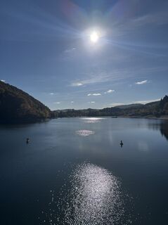
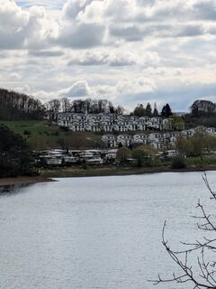
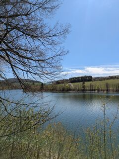
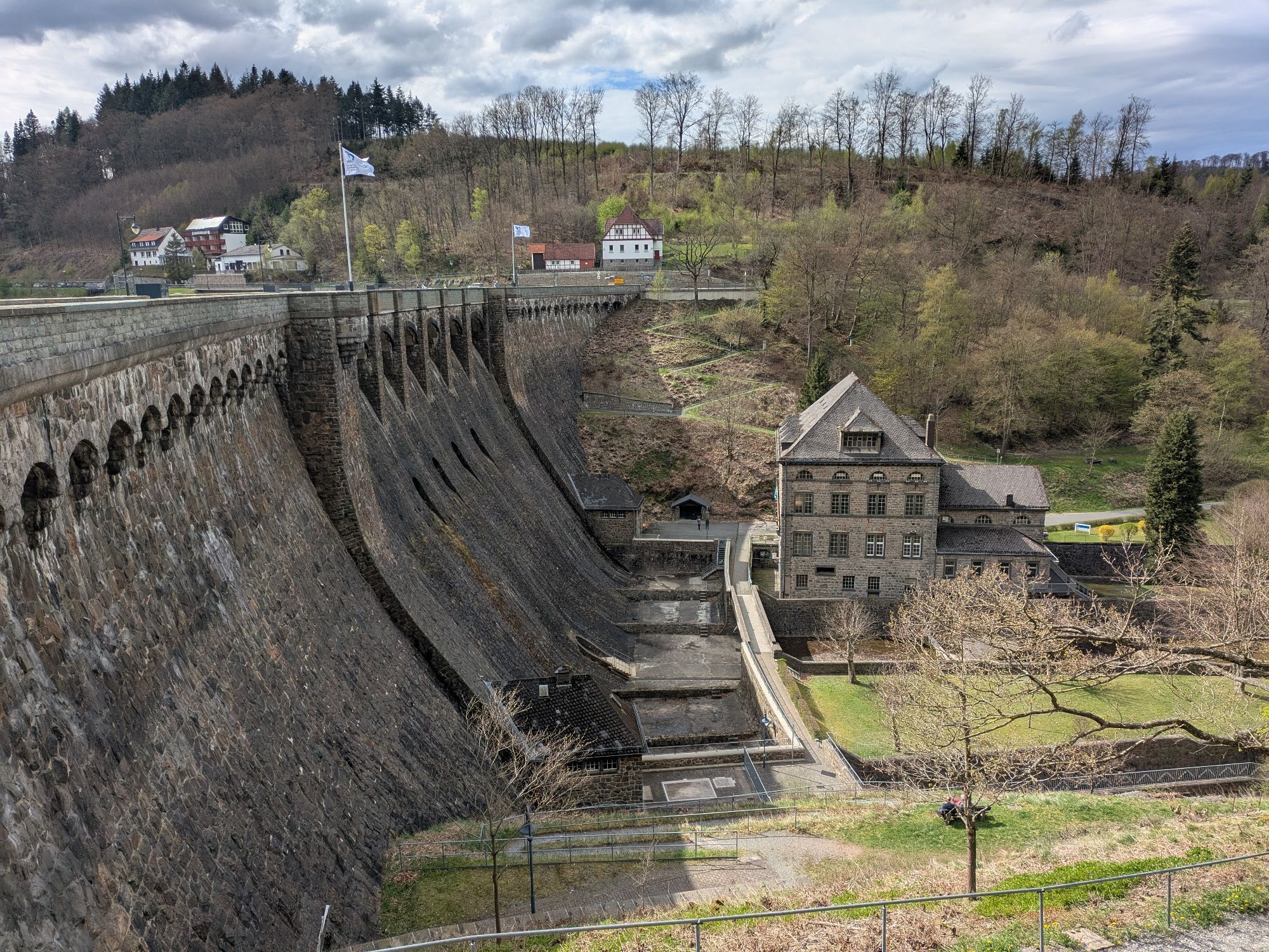
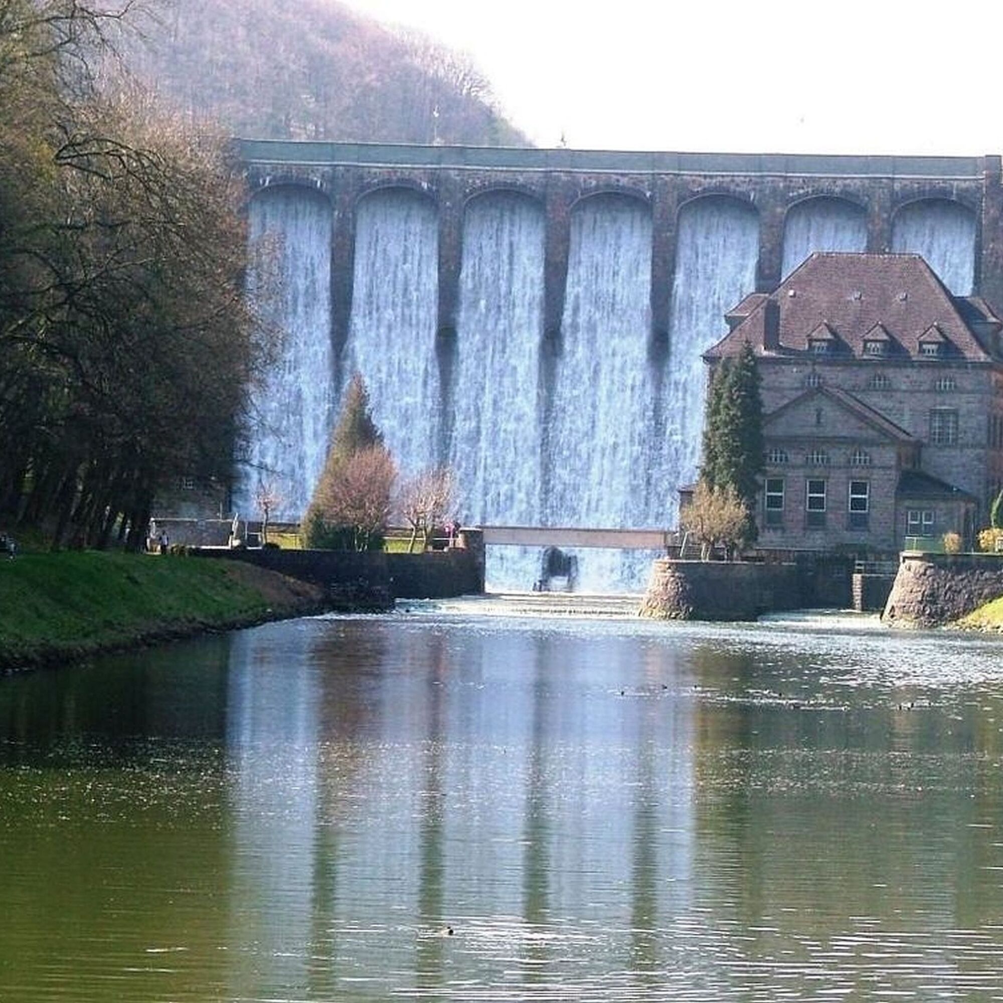
Diemelsee
-
Sternrodt Skilift
-
Hochheideturm - Ettelsberg
-
Diemelsee – Heringhausen – Strandbad mit Seepromenade
-
Skywalk
-
Skywalk
-
Skywalk
-
Skywalk
-
Skywalk
-
Stern Hotel Sauerland
-
Schwalefeld - Cafe Fernblick
-
Willinger Brauhaus
-
Ettelsberg
-
Sonnenhang
-
Talstation Ettelsberg Seilbahn
-
Ettelsberg Seilbahn Bergstation/ Hochheideturm
-
Sesselbahn Ritzhagen Berg
-
Mountainbike-Strecke K1
-
K1 Gipfelkreuz
-
Bikepark (Sommer) / Skipiste an K1-Hütte (Winter)
-
Spielplatz, Bergsee, K1-Gipfel
-
Spielplatz am Hochheideturm
-
Ettelsbergplateau
-
Ettelsberghütte
-
Bergstation Ritzhagen
-
Zum Wilddieb
Popularne wycieczki w okolicy
-
5,0
Circular route Skywalk/Hill - Ettelsberg
światłoWędrówka 4,10 km -
4,7
Bruchhauser Steine B1
średniWędrówka 11,8 km -
4,0
Willingen (W8)
średniWędrówka 12,9 km -
4,0
Bruchhausener Steine
ciężkiWędrówka 5,15 km -
5,0
Willingen (W6)
średniWędrówka 12,9 km -
Uplandsteig - THE Original -
ciężkidługodystansowy szlak pieszy 66,1 km -
Rundweg Skywalk
światłoWędrówka 4 km -
5,0
Upländer meditation path
światłoWędrówka 17,6 km -
5,0
Wandertipp: Rundweg Ettelsberg-Mühlenkopfschanze
światłoWędrówka 7 km -
4,7
Rundwanderung Diemelsee
światłoWędrówka 8,54 km
Wędrówki i tropienie


Nie przegap ofert i inspiracji na następne wakacje
Twój adres e-mail została dodana do listy mailingowej.