


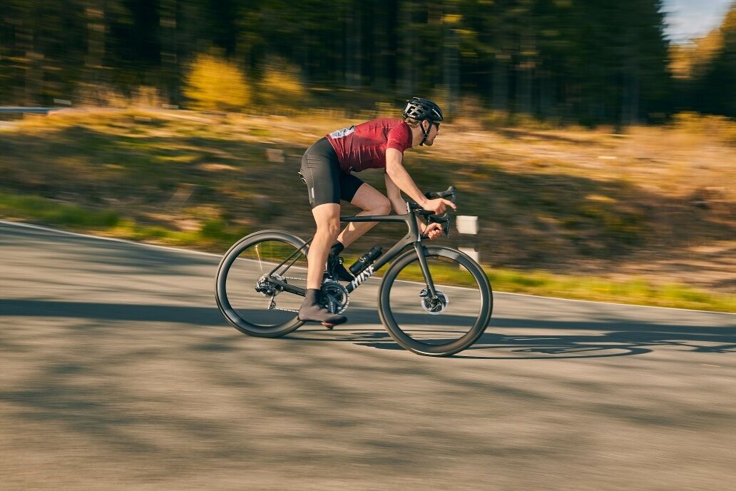
Road bike - Western Waldeck
Willingen - Usseln - Welleringhausen - Bömighausen - Rhena - Schweinsbühl - Benkhausen - Flechtdorf - Wirmighausen - Adorf - Rhenegge - Sudeck - Giebringhausen - Stormbruch - Bontkirchen - Willingen

Our route goes towards Korbach and after Usseln we turn right before an inn towards Welleringhausen.
In the village, we turn left and after the Bömighauser Lake reach the place where it now goes right up to Rhena. In the town center, we cycle left to the village of Schweinsbühl. We stay on the road until we come to Benkhausen. Here we turn onto a paved field path at the entrance to the village that takes us to Flechtdorf. We keep left before it then goes right up the hill. The road leads us to Wirmighausen.
In Adorf we head towards Diemelsee until after the village of Rhenegge which we only see via a bypass road. Here we take the exit to the left to get to Sudeck. Via Sudeck it goes to Giebringhausen. We pass through this locality and follow the road to Stormbruch. At the end of the village, we go over the hill to Bontkirchen.
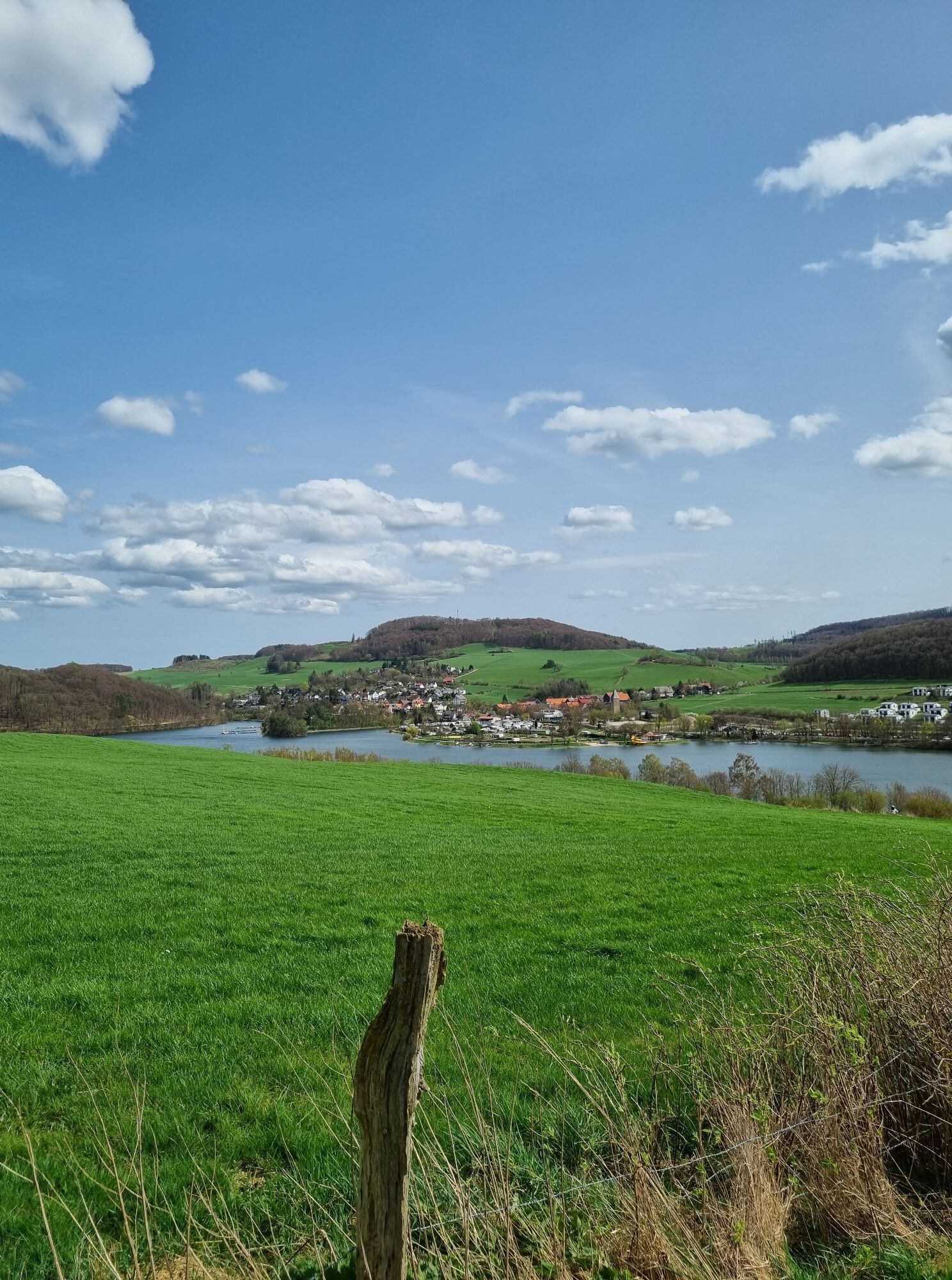
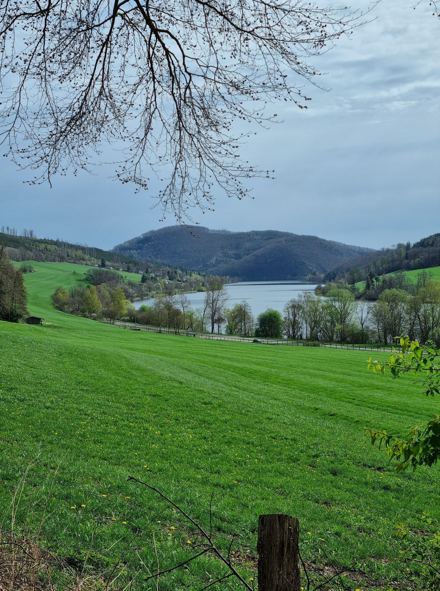
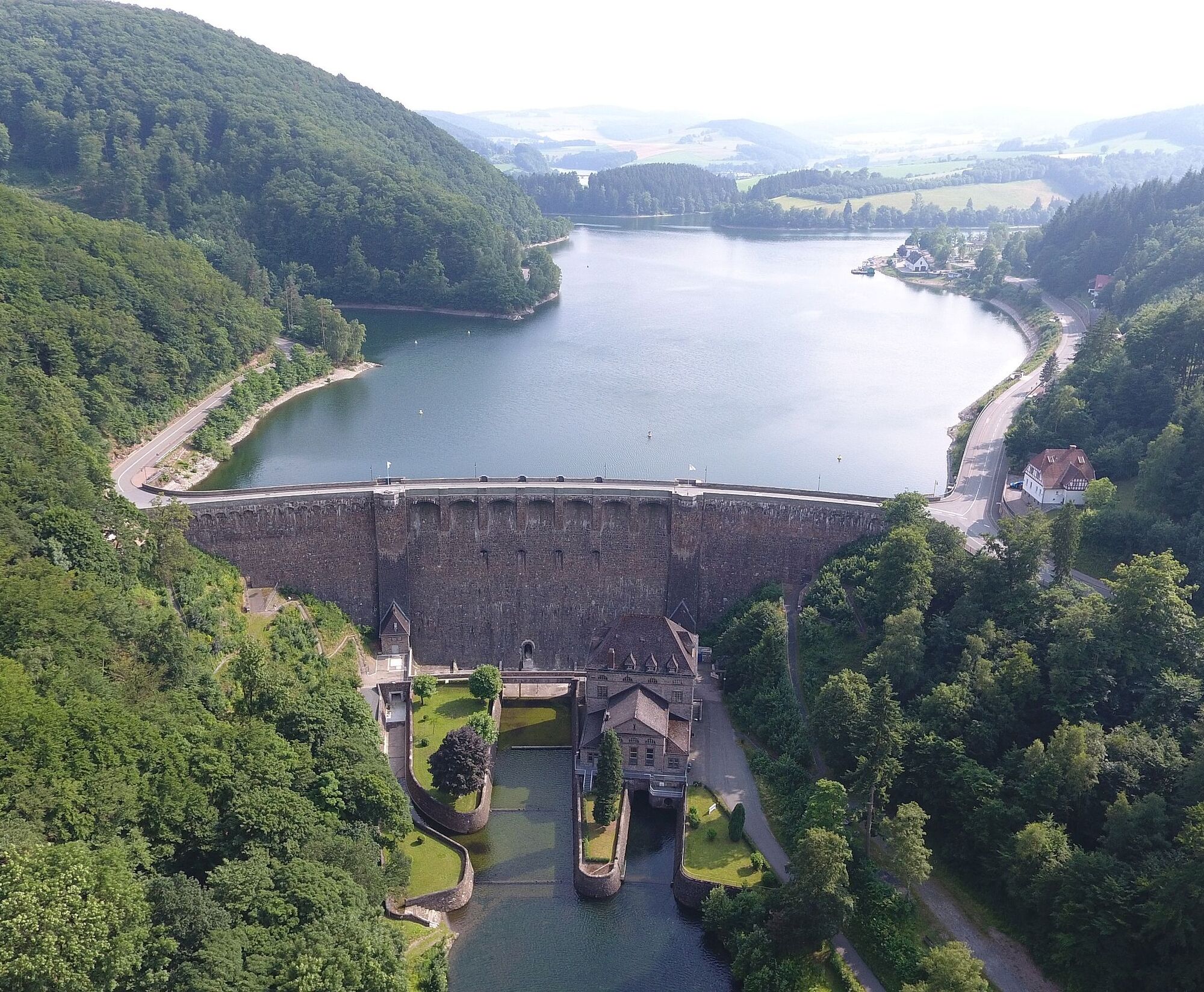
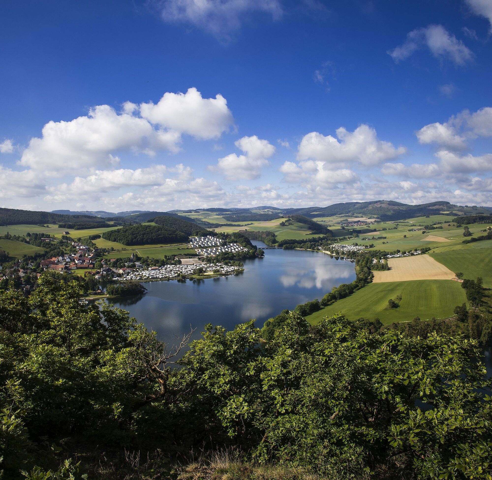
The climb via the small side road offers an impressive and lasting view of the Diemelsee, which is only touched on this route. The main road takes us to Willingen. But since we want to cycle on side roads, we go to Schwalefeld. At the first houses, take a left up over the Orenberg, a small forest path we already know from mountain biking. But don't worry, this path is also paved.
Tak
Wearing a bicycle helmet should be obvious for all cyclists. Check before the ride that your bike is in perfect condition. For demanding routes, we recommend packing plenty of drinks and snacks.
In the entire region (Soest district, Hochsauerlandkreis, Märkischer Kreis, Olpe district, and Siegen-Wittgenstein district) an emergency point system is installed. Emergency points can be found, among other places, on the information boards at the junctions of the Südwestfalen cycle network.
Tourist Information Willingen,
From Bremen/Münster: A1 to Dortmund/Unna - A44 to Werl junction - A445/A46 to the end of the motorway at Bestwig - B7 towards Brilon - after Nuttlar L 743 to Olsberg/Elleringhausen - B251 to Willingen
From Hamburg/Hannover: A2 to Bielefeld, A33 toward Paderborn to the end of the motorway - B480 to Brilon - B251 to Willingen
From Frankfurt: A5 to Gießen-Südkreuz - Gießener Ring to Marburg - Frankenberg - Korbach - B251 to Willingen From Munich/Würzburg: A7 towards Kassel - A44 to Zierenberg exit - B251 Korbach - Willingen
From Dortmund: A44 to Werl junction - A445/A46 to the end of motorway at Bestwig - B7 towards Brilon - after Nuttlar L 743 to Olsberg/Elleringhausen - B251 to Willingen From Kassel: A44 to Zierenberg exit - B251 Korbach - Willingen
You can easily reach both Willingen and the district of Usseln by train. Willingen (Upland) station Intercity/ICE stations: Dortmund, Hagen, Marburg, Warburg, Kassel-Wilhelmshöhe Current timetables and tickets are available on the Deutsche Bahn website.
You will find sufficient parking in Willingen.
A detour to the Hochheide Tower in Willingen is worthwhile.
Kamery internetowe z trasy
-
Talstation Ettelsberg-Seilbahn
-
Talstation Ettelsberg-Seilbahn
-
Talstation Ettelsberg-Seilbahn
-
Talstation Ettelsberg-Seilbahn
-
Talstation Ettelsberg-Seilbahn
-
Kurhotel Hochsauerland 2010
-
Kurhotel Hochsauerland 2010
-
Kurhotel Hochsauerland 2010
-
Kurhotel Hochsauerland 2010
-
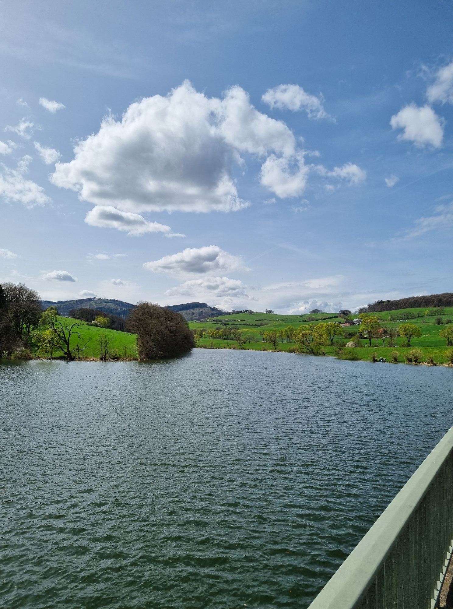
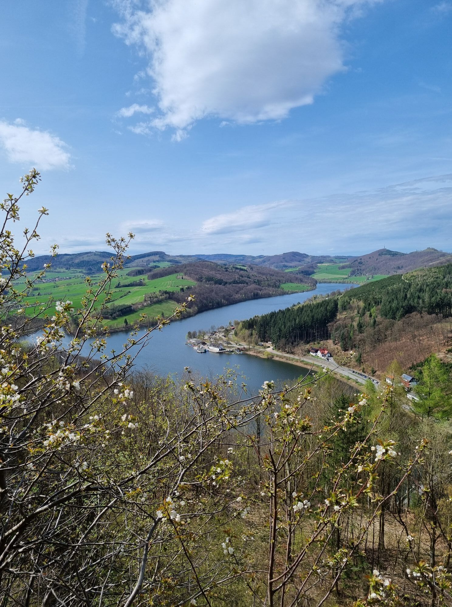
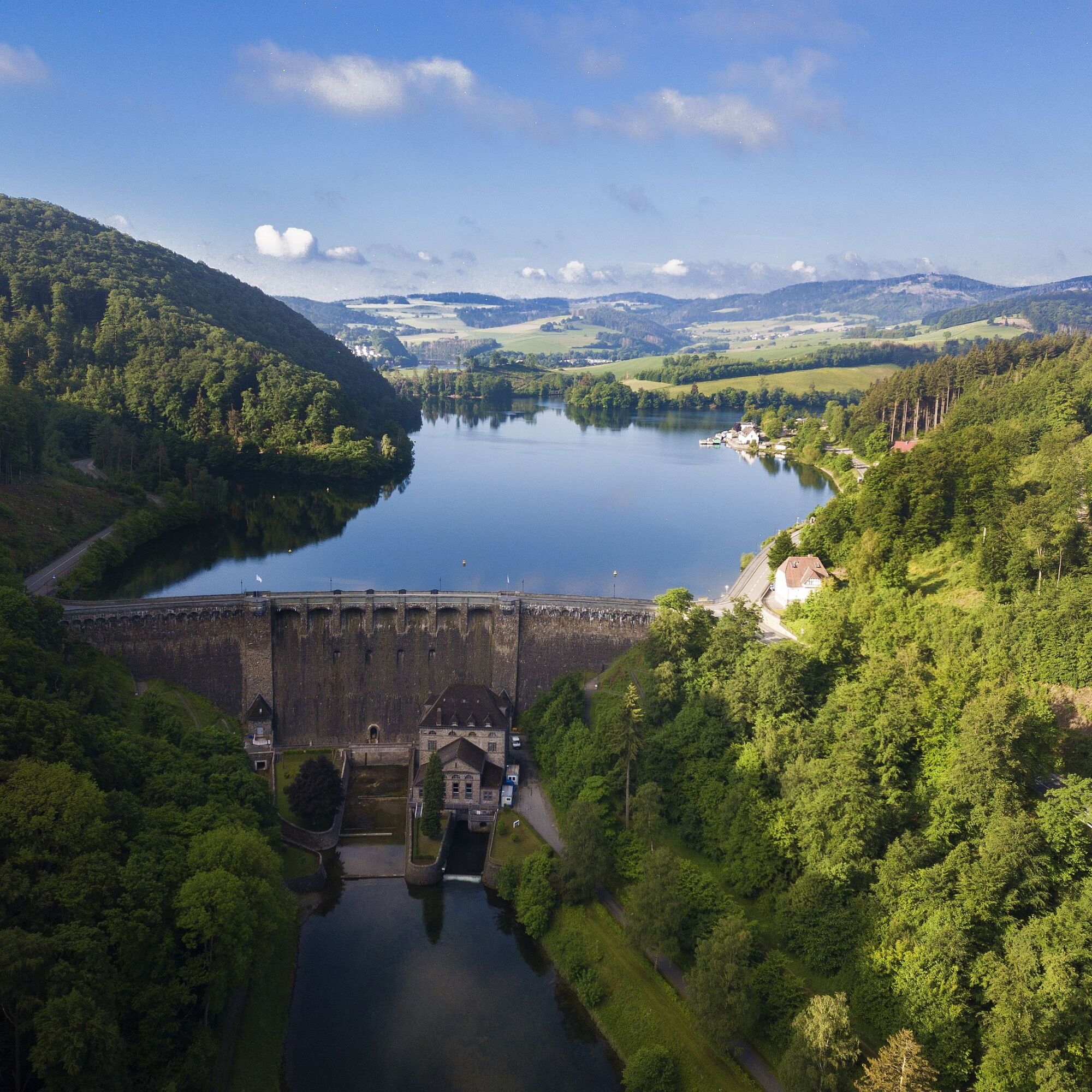
Diemelsee
-
Sternrodt Skilift
-
Hochheideturm - Ettelsberg
-
Diemelsee – Heringhausen – Strandbad mit Seepromenade
-
Skywalk
-
Skywalk
-
Skywalk
-
Skywalk
-
Skywalk
-
Stern Hotel Sauerland
-
Schwalefeld - Cafe Fernblick
-
Willinger Brauhaus
-
Ettelsberg
-
Sonnenhang
-
Talstation Ettelsberg Seilbahn
-
Ettelsberg Seilbahn Bergstation/ Hochheideturm
-
Sesselbahn Ritzhagen Berg
-
Mountainbike-Strecke K1
-
K1 Gipfelkreuz
-
Bikepark (Sommer) / Skipiste an K1-Hütte (Winter)
-
Spielplatz, Bergsee, K1-Gipfel
-
Spielplatz am Hochheideturm
-
Ettelsbergplateau
-
Ettelsberghütte
-
Bergstation Ritzhagen
-
Zum Wilddieb
Popularne wycieczki w okolicy
-
5,0
Circular route Skywalk/Hill - Ettelsberg
światłoWędrówka 4,10 km -
4,7
Bruchhauser Steine B1
średniWędrówka 11,8 km -
4,0
Willingen (W8)
średniWędrówka 12,9 km -
4,0
Bruchhausener Steine
ciężkiWędrówka 5,15 km -
5,0
Willingen (W6)
średniWędrówka 12,9 km -
Uplandsteig - THE Original -
ciężkidługodystansowy szlak pieszy 66,1 km -
Rundweg Skywalk
światłoWędrówka 4 km -
5,0
Upländer meditation path
światłoWędrówka 17,6 km -
5,0
Wandertipp: Rundweg Ettelsberg-Mühlenkopfschanze
światłoWędrówka 7 km -
4,7
Rundwanderung Diemelsee
światłoWędrówka 8,54 km

Wędrówki i tropienie


Nie przegap ofert i inspiracji na następne wakacje
Twój adres e-mail została dodana do listy mailingowej.