







Lahnradweg 4th stage upstream Wetzlar - Gießen
From Wetzlaryou cycle comfortably through the middle Lahn valley. Wide green meadows and idyllic small lakes lie along the way. In Giessenthere is a lot to experience. Highlights such as the Lahnfenster...
From Wetzlaryou cycle comfortably through the middle Lahn valley. Wide green meadows and idyllic small lakes lie along the way. In Giessenthere is a lot to experience. Highlights such as the Lahnfenster Hessen, through which the underwater world of the Lahn can be explored, as well as the new castle, the armoury and the botanical garden are all waiting to be discovered. You can join in and experiment at the Mathematikum Museum. Numerous places to stay and eat as well as the good railway connections make Giessen a popular stage stop on the Lahnradweg.
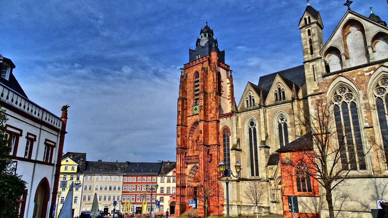
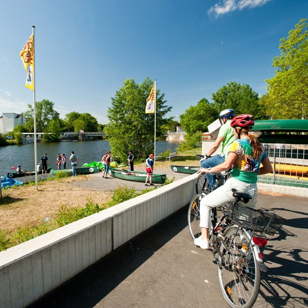

The cycle tour starts at Wetzlar railway station. Without any noticeable inclines, you can take it easy today. The route initially follows the Lahn, then follows the good signposting of the Lanradweg passing school buildings. Behind these, turn right and reach the Naunheimer Mühle mill, which offers a refreshment stop. Behind the mill, the Lahnradweg turns right. Naunheim is only touched on the edge of the village. The route runs parallel to the motorway back to the Lahn.
Following the river, you reach Dorlar, staying on the Lahn but leaving it at Atzbach, where you cross the scenic Lahnaue nature reserve and reach Heuchelheim via Marktstraße and Schwimmbadstraße.You reach St Martin's Church via Parkweg, keep to the right and continue cycling through the Lahn floodplains. You then cross the Lahn on the bridge over the B429. You then cycle along the banks of the Lahn to your stage destination, Giessen's main railway station.
ADFC regional map Lahntal scale 1:75,000 - BVA BikeMedia GmbH - 4th edition 2021 ISBN 978-3-96990-027-7 - 9,95 €
Trekking or touring bike (e-bike or conventional), spare inner tube and tools, water bottle and clothing suitable for the weather.
The Lahnradweg runs mainly on cycle paths, quiet side roads and country lanes. However, please observe the road traffic regulations and show consideration for other cyclists, agricultural vehicles and pedestrians.
Via the B49 to Wetzlar
Via the B3 or the B49 to Gießen
Wetzlar and Giessen railway stations are located on the fourth stage.
The railway connections in Hesse are part of the Rhine-Main transport network.
All information about travelling by public transport can be found on the railway website.
There are several car parks in Wetzlar, but most of them charge a fee.
In Gießen, you can park free of charge at "an der Hessenhalle 2, 35398 Gießen". There are also several paid car parks.
The church garden of St Martin's Church in Heuchelheim is always open to visitors and offers the opportunity for relaxing moments.
Popularne wycieczki w okolicy
- 4,5
Wetzlar 3-Towers-Route
średniWędrówka 20,4 km - 5,0
Wetzlar 3-Towers-Route North
średniWędrówka 11,2 km Lahnwanderweg 09. stage Lollar – Rodheim-Bieber
średniWędrówka 21,4 kmLahnwanderweg 11th stage upstream Braunfels - Wetzlar
światłoWędrówka 13 kmWetzlar Komfortweg Kirschenwäldchen
światłoWędrówka 2,93 km- 4,0
Die Raute - von Dutenhofen nach Wetzlar
średniWędrówka 10,1 km Biebertal Deceleration Path
światłoTrasa tematyczna 2,81 kmDVV 8/10 km- Permanent Wetzlarer hiking trail Goetheweg with Grüngürtelweg
średniWędrówka 10,2 kmLahnwanderweg 10th stage upstream Wetzlar - Rodheim-Bieber
średniWędrówka 16,4 kmMiningTrail Fortuna Mine
światłoTrasa tematyczna 3,83 km
Wędrówki i tropienie


Nie przegap ofert i inspiracji na następne wakacje
Twój adres e-mail została dodana do listy mailingowej.





