







The larris of the Montagne de Vaux
In the heart of the Upper Somme Valley, the larris of the Montagne de Vaux offers a viewpoint. Guaranteed change of scenery.On its promontory, the Belvedere of Vaux overlooks the Upper Somme Valley and...
In the heart of the Upper Somme Valley, the larris of the Montagne de Vaux offers a viewpoint. Guaranteed change of scenery.
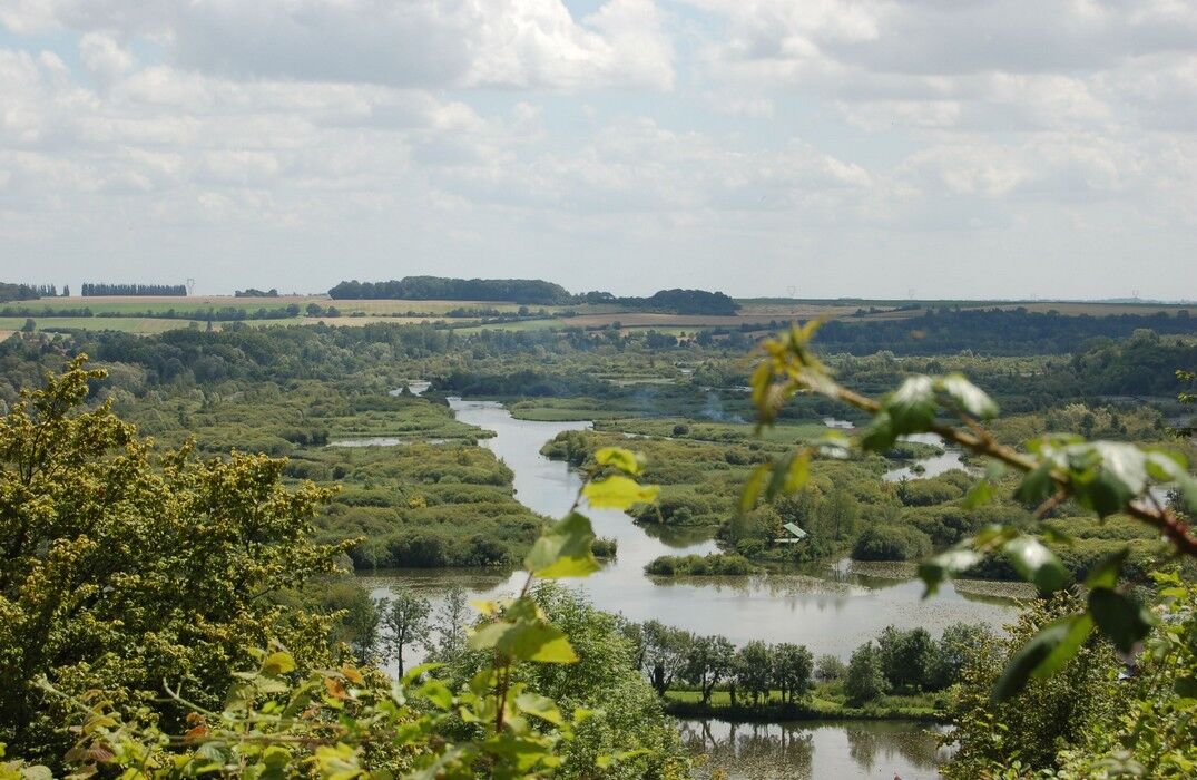
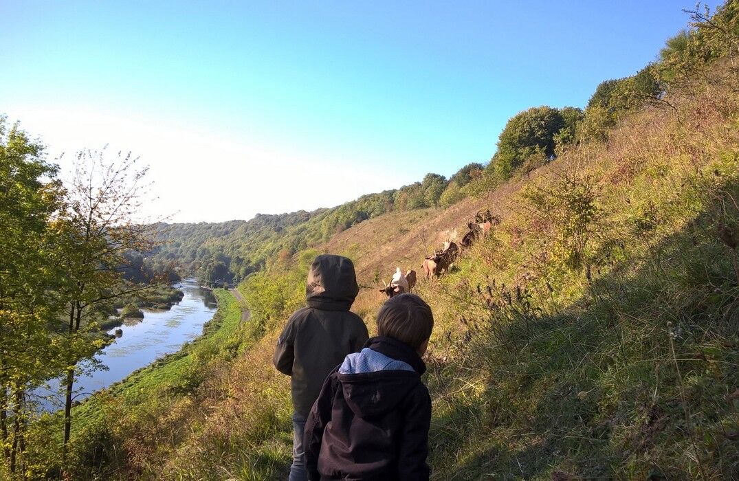
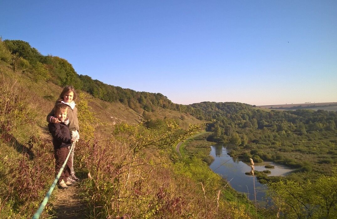
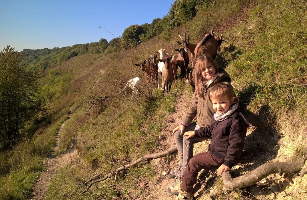
On its promontory, the Belvedere of Vaux overlooks the Upper Somme Valley and offers a superb panorama of interlacing watercourses, ponds, and marshes. One could stop there. But a small path running to the left invites you to extend the walk and explore the larris, managed by the Conservatory of Natural Areas of Hauts-de-France. There, an atypical fauna and flora develop, to be observed by following the "maguettes" (goats in Picard) trail.


Popularne wycieczki w okolicy
-
GR de Pays: Battle of the Somme
światłoWędrówka 104,9 km -
5,0
The Montagne de Vaux
światłoWędrówka 8,66 km -
GR800 Somme Trail
światłoWędrówka 224,6 km -
An International Memory - Cycling Tours - France World War Heritage
światłoMountainbike 51,5 km -
The Somme Valley Cycle Route
światłoJazda na rowerze 190,4 km -
La véloroute de la mémoire
średniJazda na rowerze 91,8 km -
The Meanders of Memory - Bike Rides - France World War Heritage
światłoMountainbike 132,1 km -
The Vallée de Somme Cycle Route
światłoWędrówka 190,4 km -
Sur les pas de Blaise Cendrars
światłoWędrówka 7,90 km -
From Péronne to Froissy in the Vallée de Somme
światłoWędrówka 20 km

Wędrówki i tropienie


Nie przegap ofert i inspiracji na następne wakacje
Twój adres e-mail została dodana do listy mailingowej.





