


The Somme Valley Cycle Route
Poziom trudności: 2
Zdjęcia naszych użytkowników

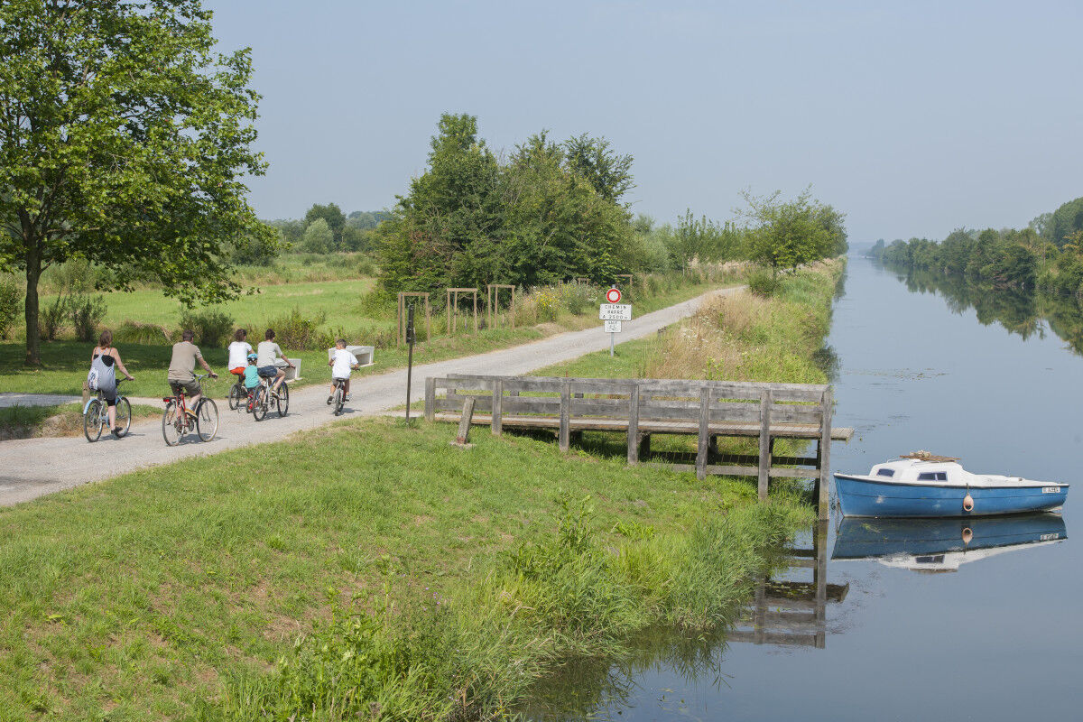
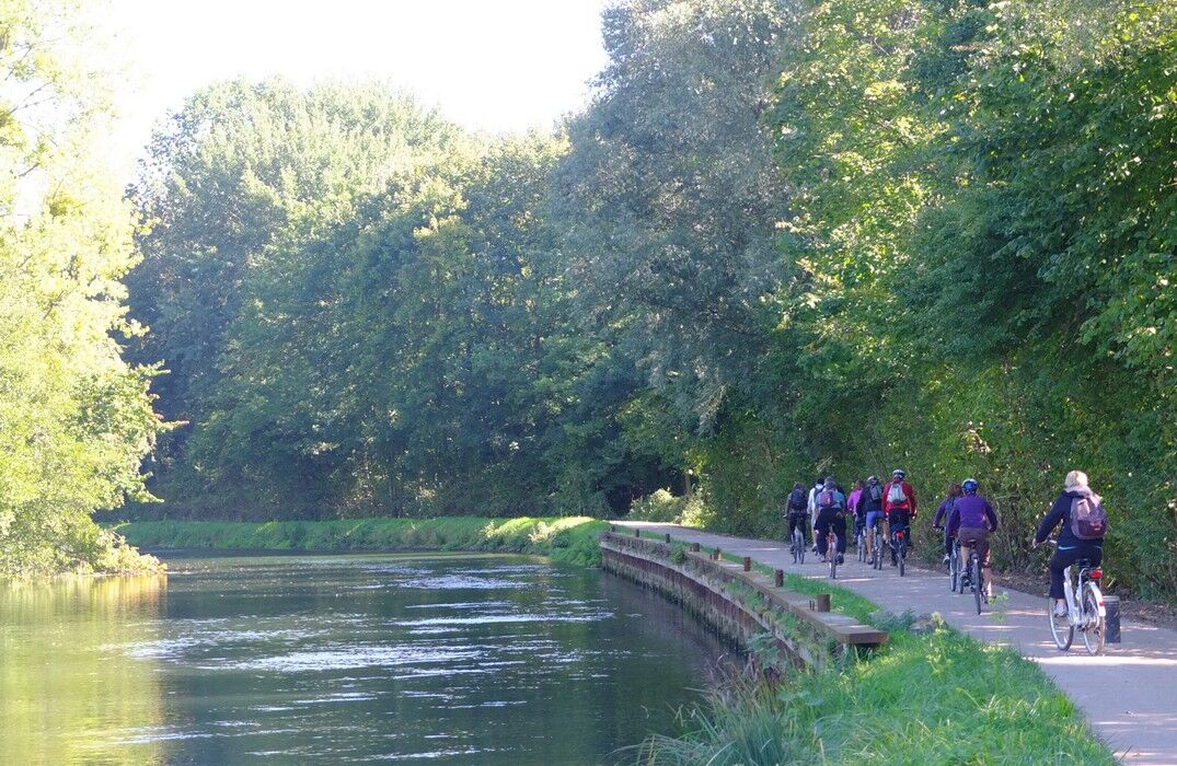
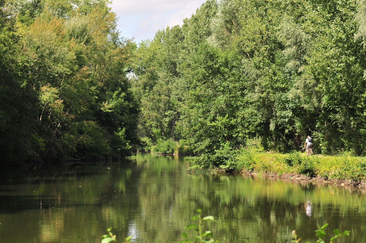
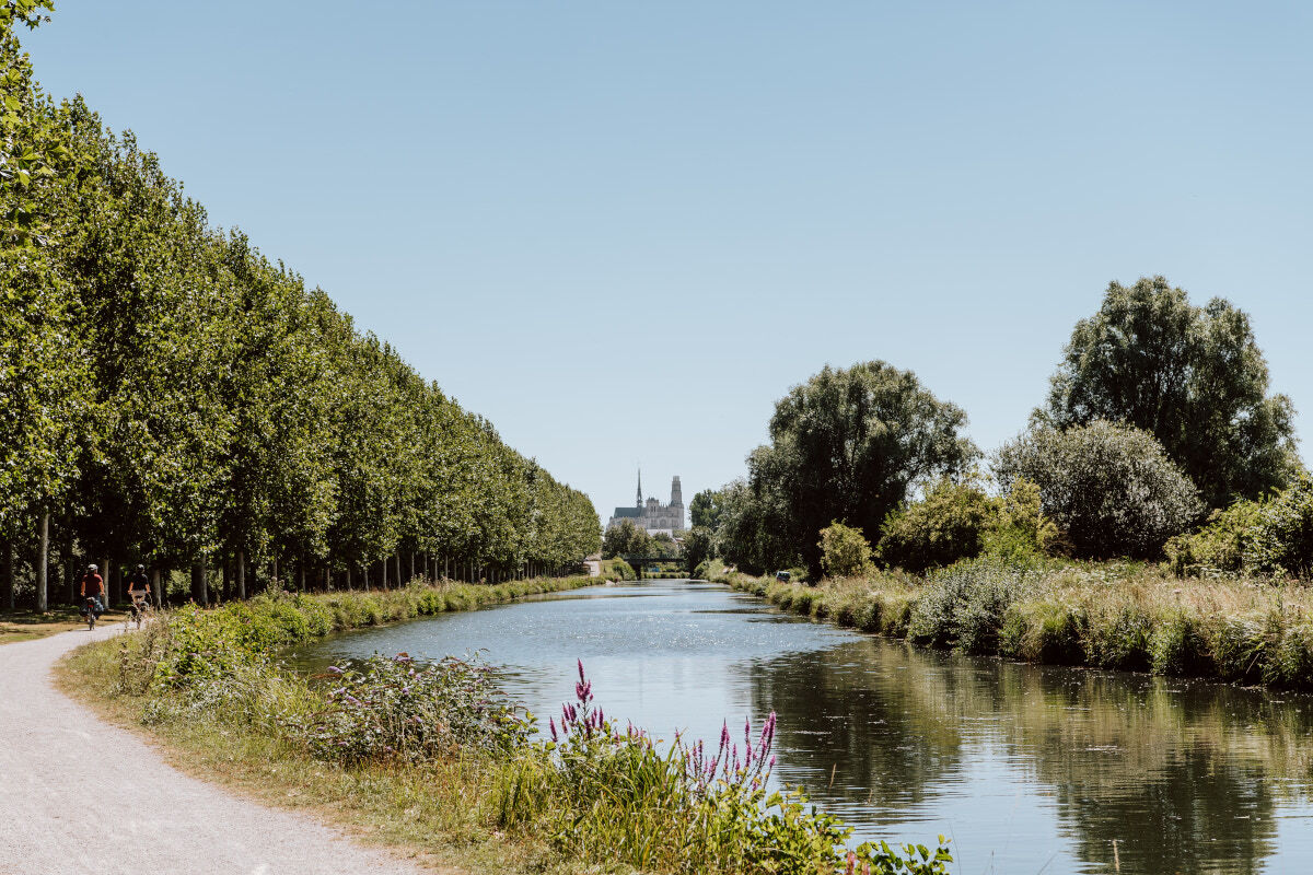
This gentle route between Tergnier and Saint-Valery-sur-Somme passing through Péronne, Abbeville, and Amiens allows cyclists and pedestrians to follow the meanders of the Somme and discover all the natural...
This gentle route between Tergnier and Saint-Valery-sur-Somme passing through Péronne, Abbeville, and Amiens allows cyclists and pedestrians to follow the meanders of the Somme and discover all the natural and cultural riches of the Somme valley.
Without difficulty and suitable for all, the route is almost always flat. You will use different types of marked and secured paths, motor vehicles are forbidden on a large part of the route.
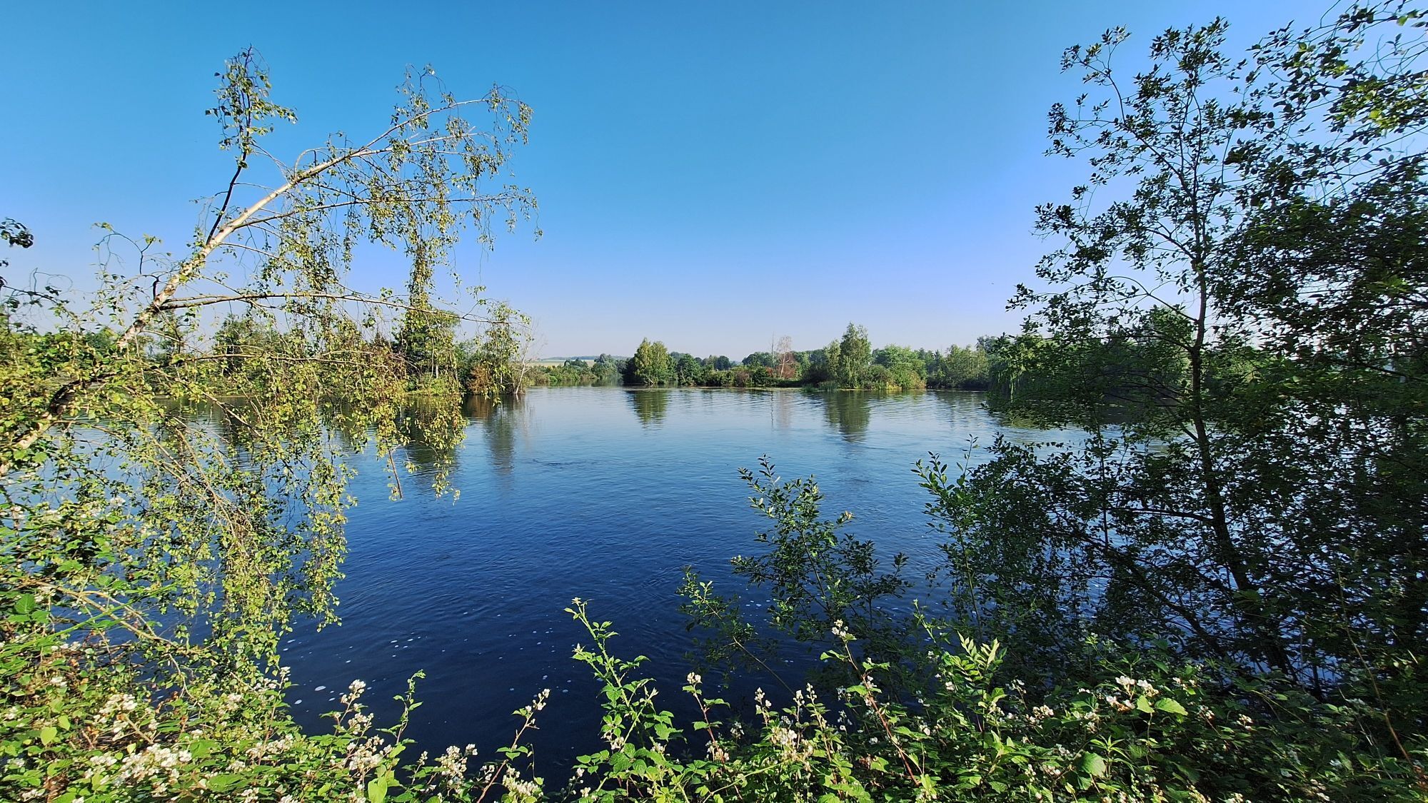
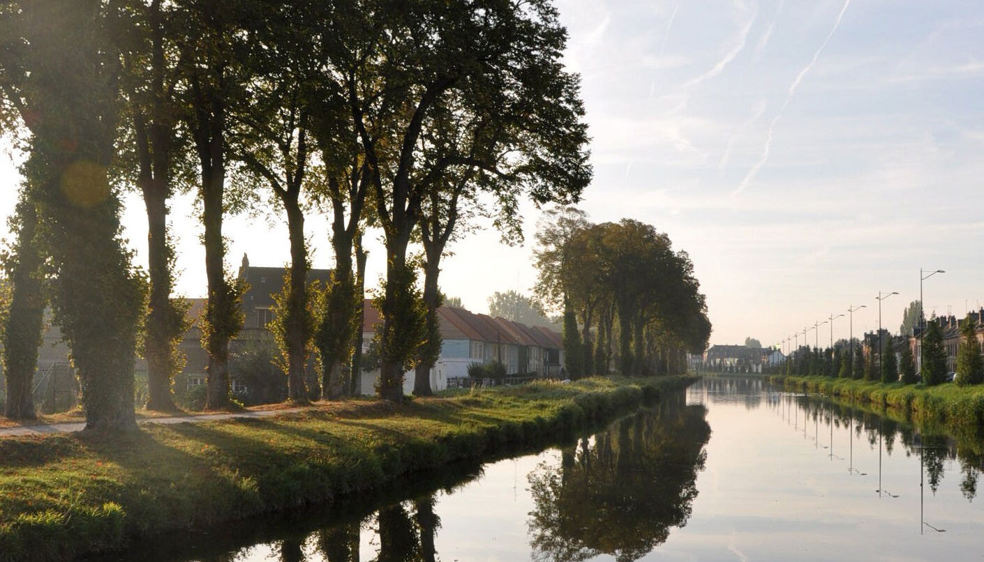
The route follows the course of the Somme River, sometimes wild and natural, sometimes canalized.

Route to be done in a single stage or several according to your desires and skill level.
Tak
Tak
On this route you will encounter various surfaces: prefer a MTB, trekking bike or gravel bike.
Emergency number: 112
Consider carpooling
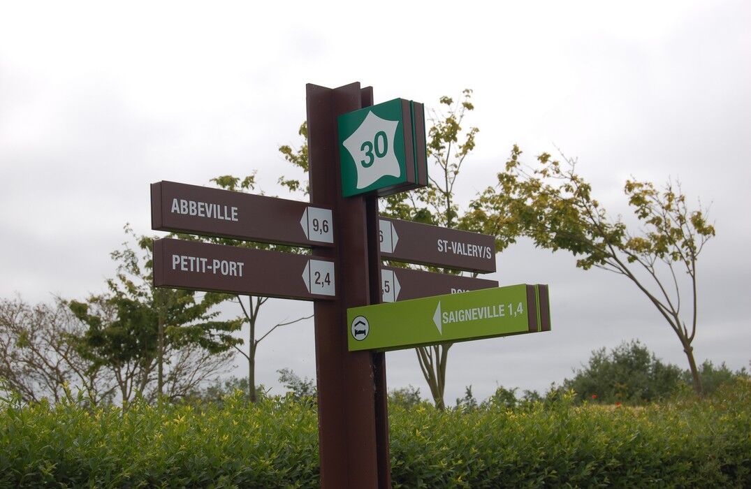
Watch out for the route extremities: Tergnier and Noyelles-sur-Mer.
The route is also served by the train stations of Ham, Corbie, Amiens, Ailly-sur-Somme, Longpré-les-Corps-Saints, and Abbeville
In Tergnier near the station or at Noyelles-sur-Mer station
2
To explore further in our region, visit our destination website.
Popularne wycieczki w okolicy
GR800 Somme Trail
światłoWędrówka 224,6 kmThe Vallée de Somme Cycle Route
światłoWędrówka 190,4 kmThe Meanders of Memory - Bike Rides - France World War Heritage
światłoMountainbike 132,1 kmThe National Nature Reserve of the Saint Ladre Pond
światłoWędrówka 1,58 kmFrom Moreuil to Boves
światłoKajak / Canoe 14,1 kmSaint Ulphe
światłoWędrówka 12,0 kmCircuit vélo – A vélo d’Amiens à Corbie…
światłoJazda na rowerze 18,8 kmAlbert, History and Nature
światłoWędrówka 5,64 kmFrom Boves to Amiens
światłoKajak / Canoe 12,4 kmFrom the Somme to the Luce
światłoMountainbike 50,2 km
Wędrówki i tropienie


Nie przegap ofert i inspiracji na następne wakacje
Twój adres e-mail została dodana do listy mailingowej.