






Prätschli – Rot Tritt – Scheidegg – Prätschli
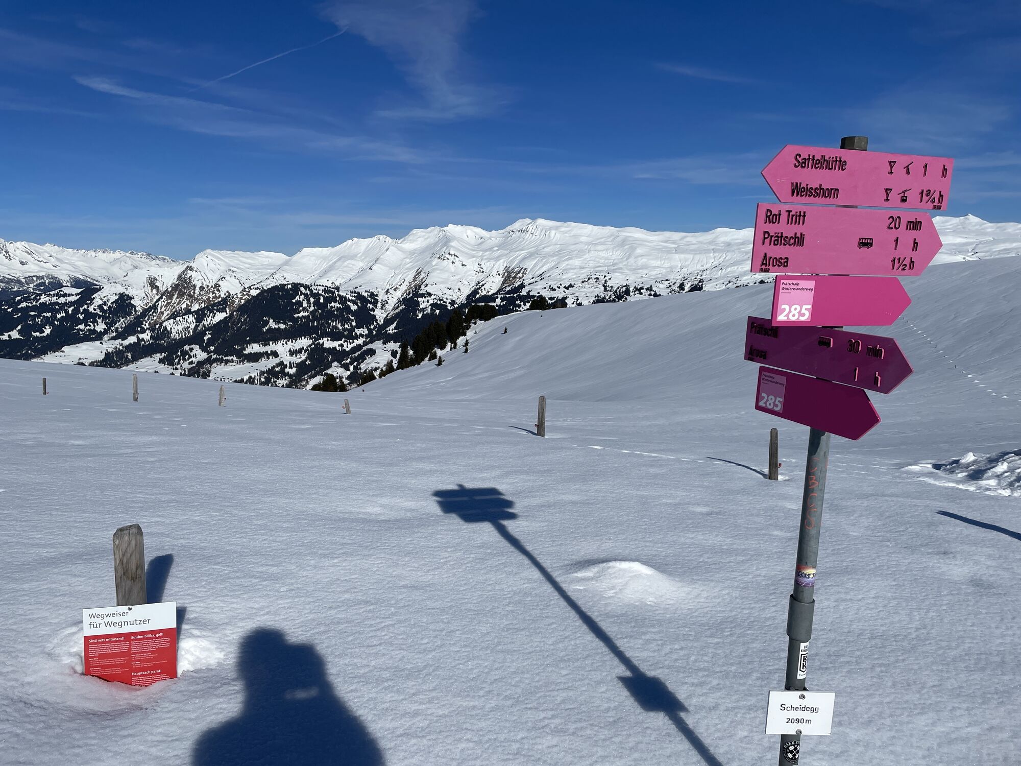
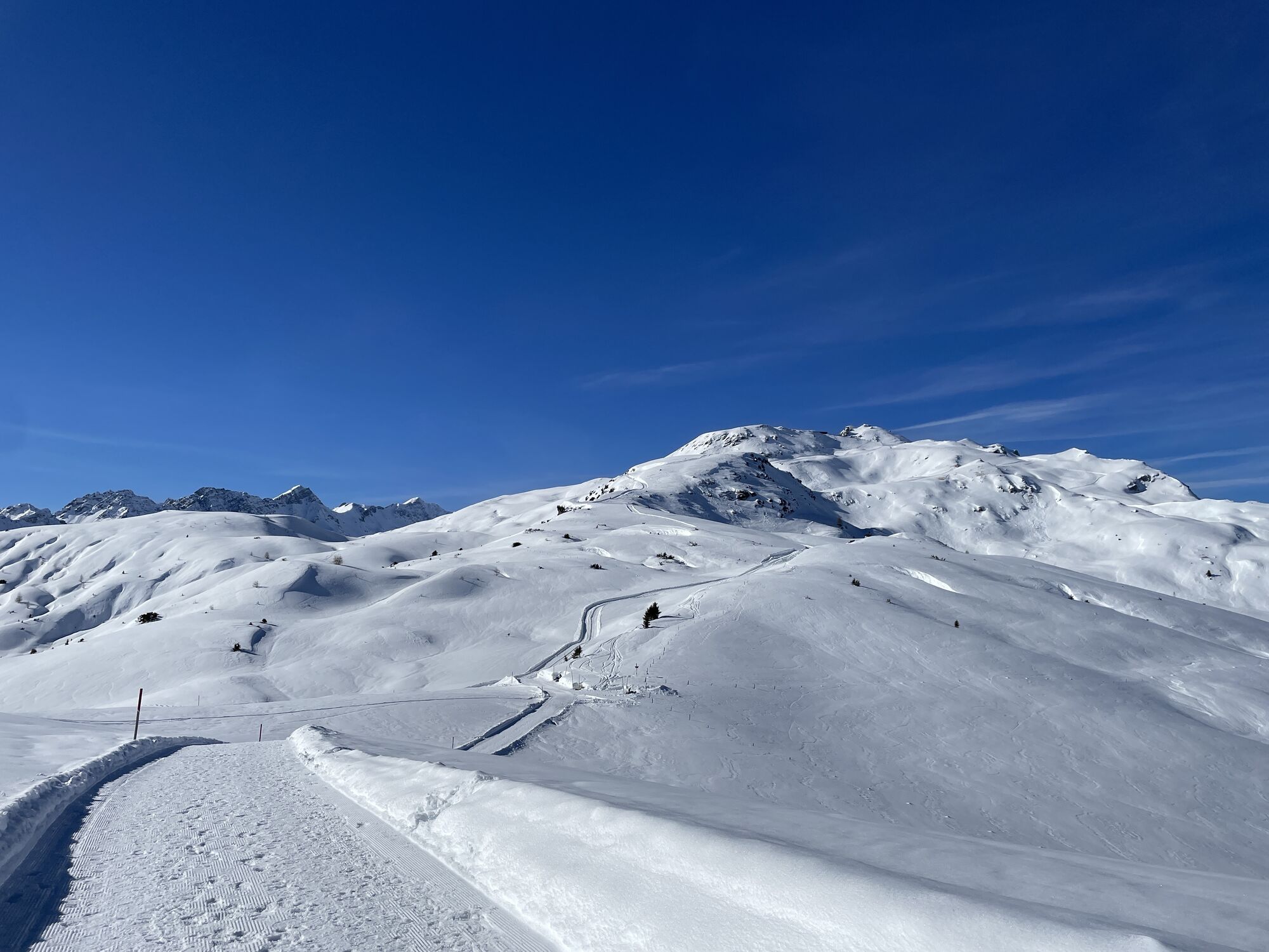
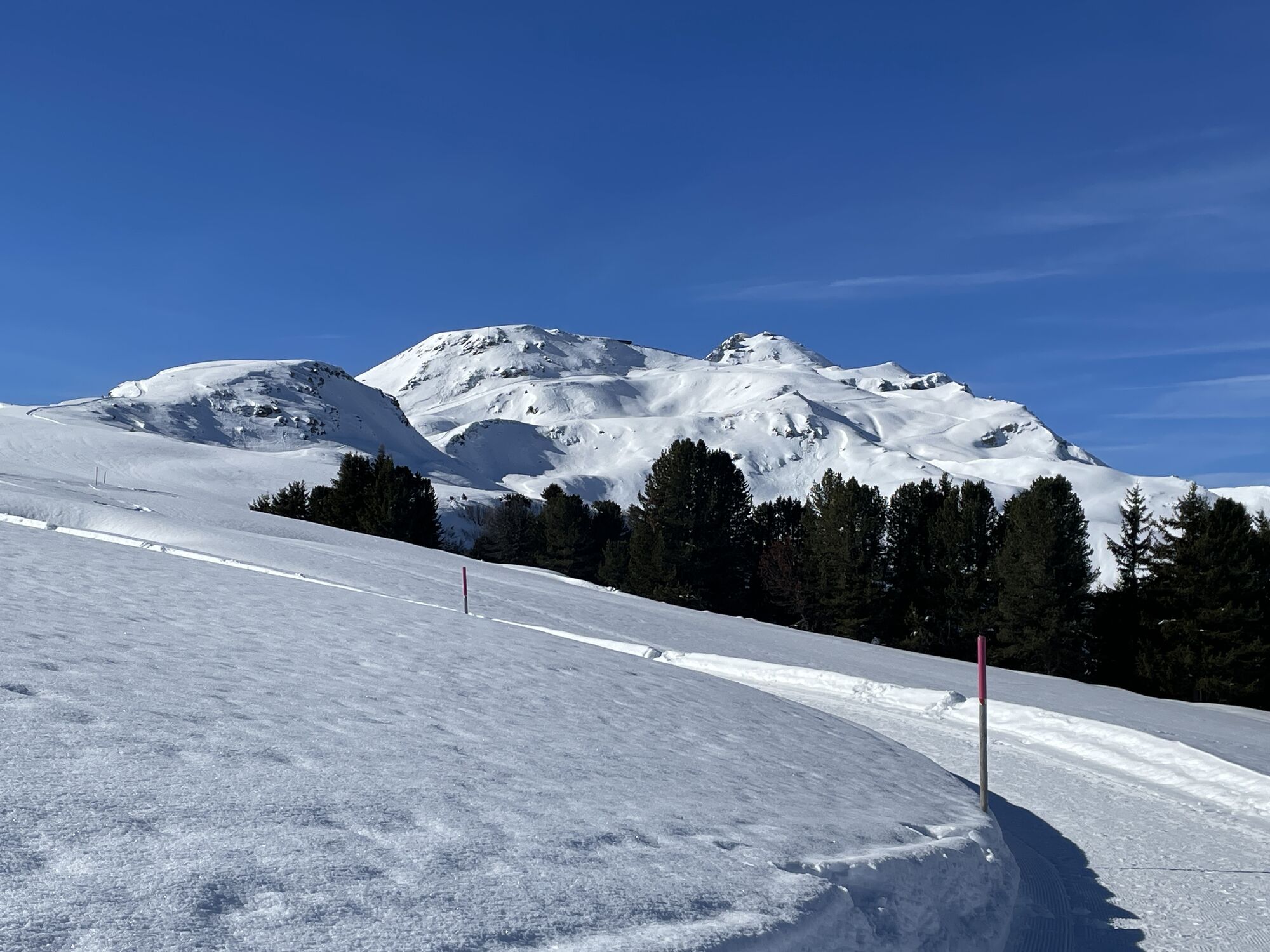
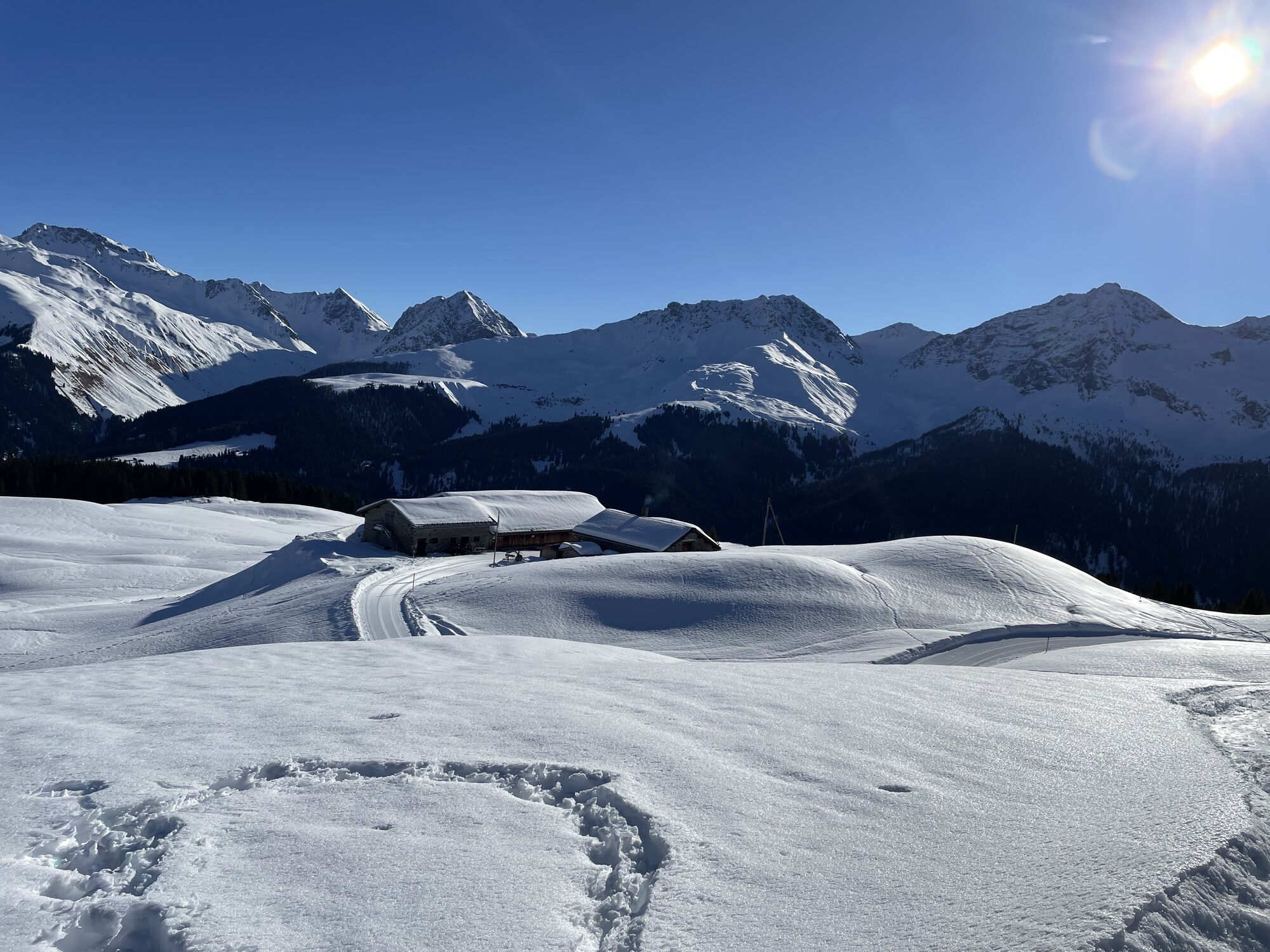
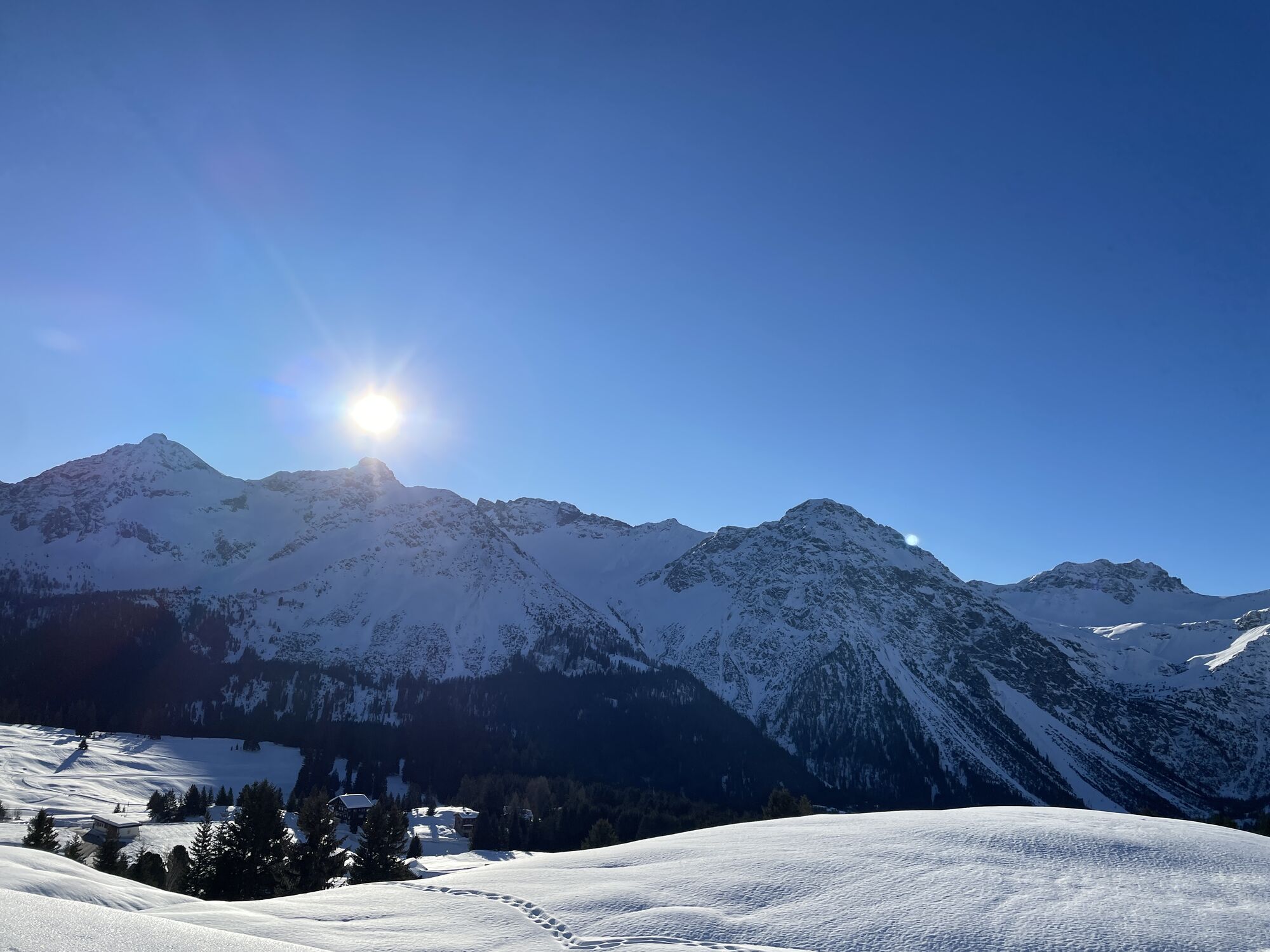
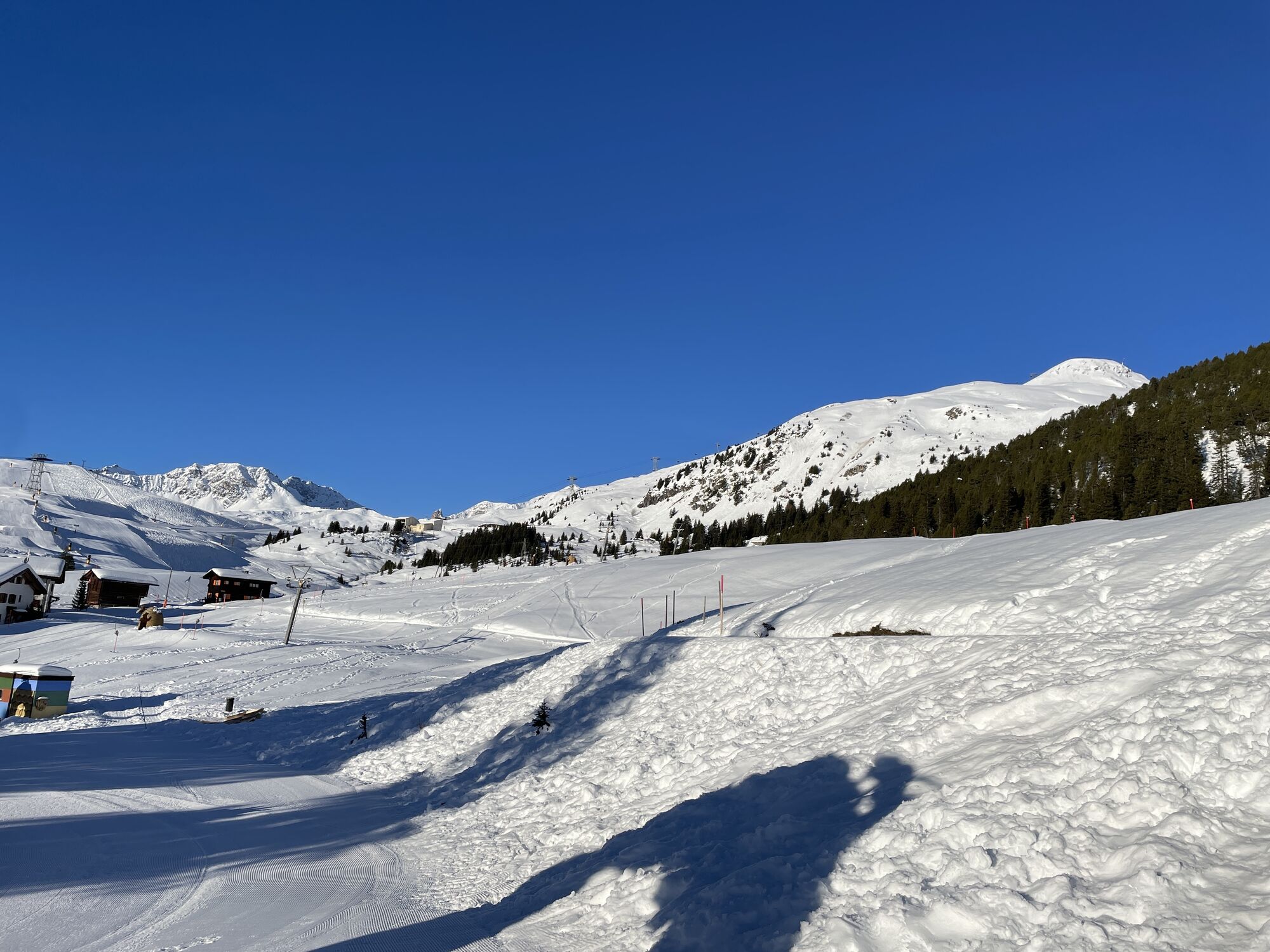
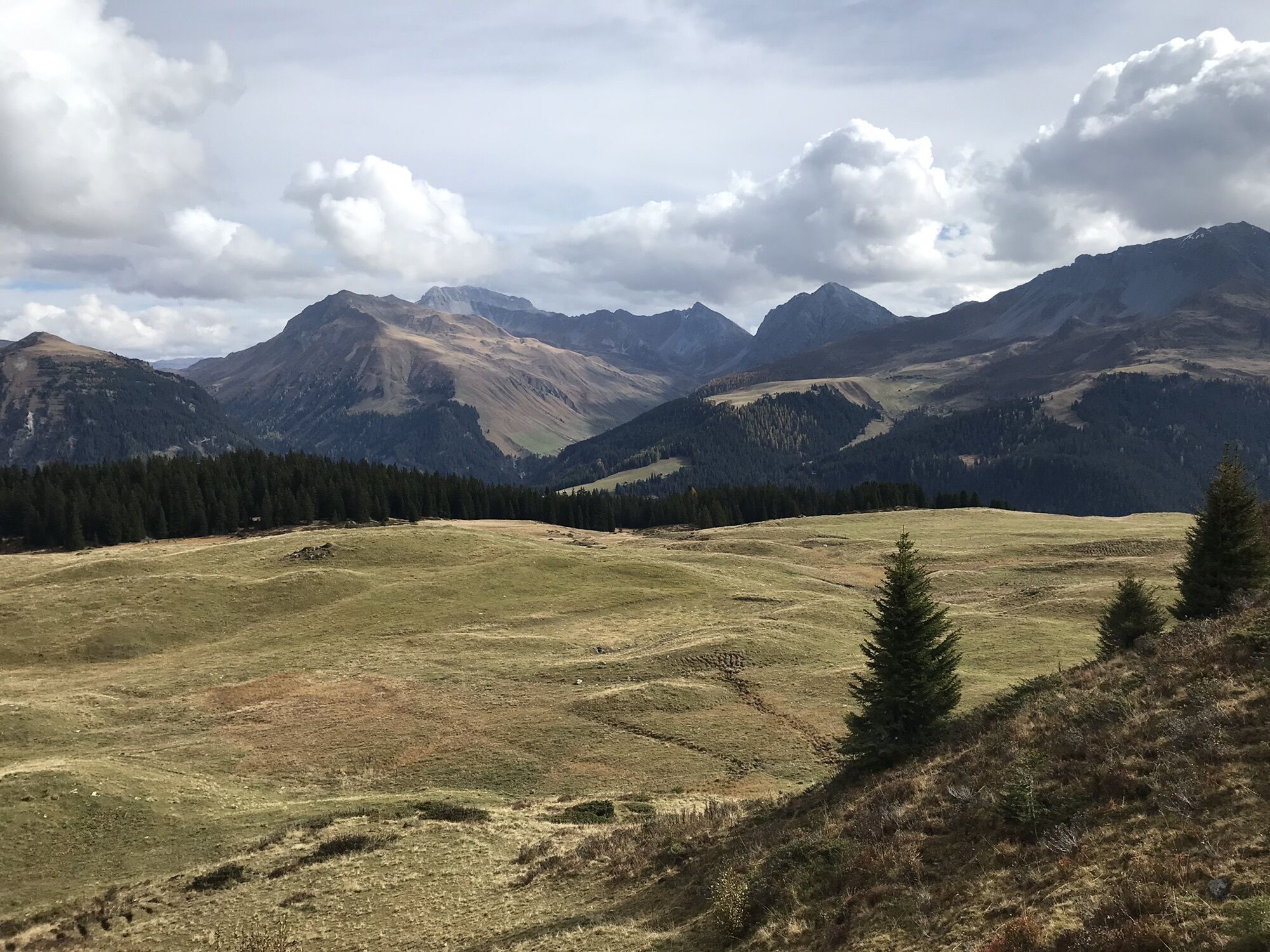
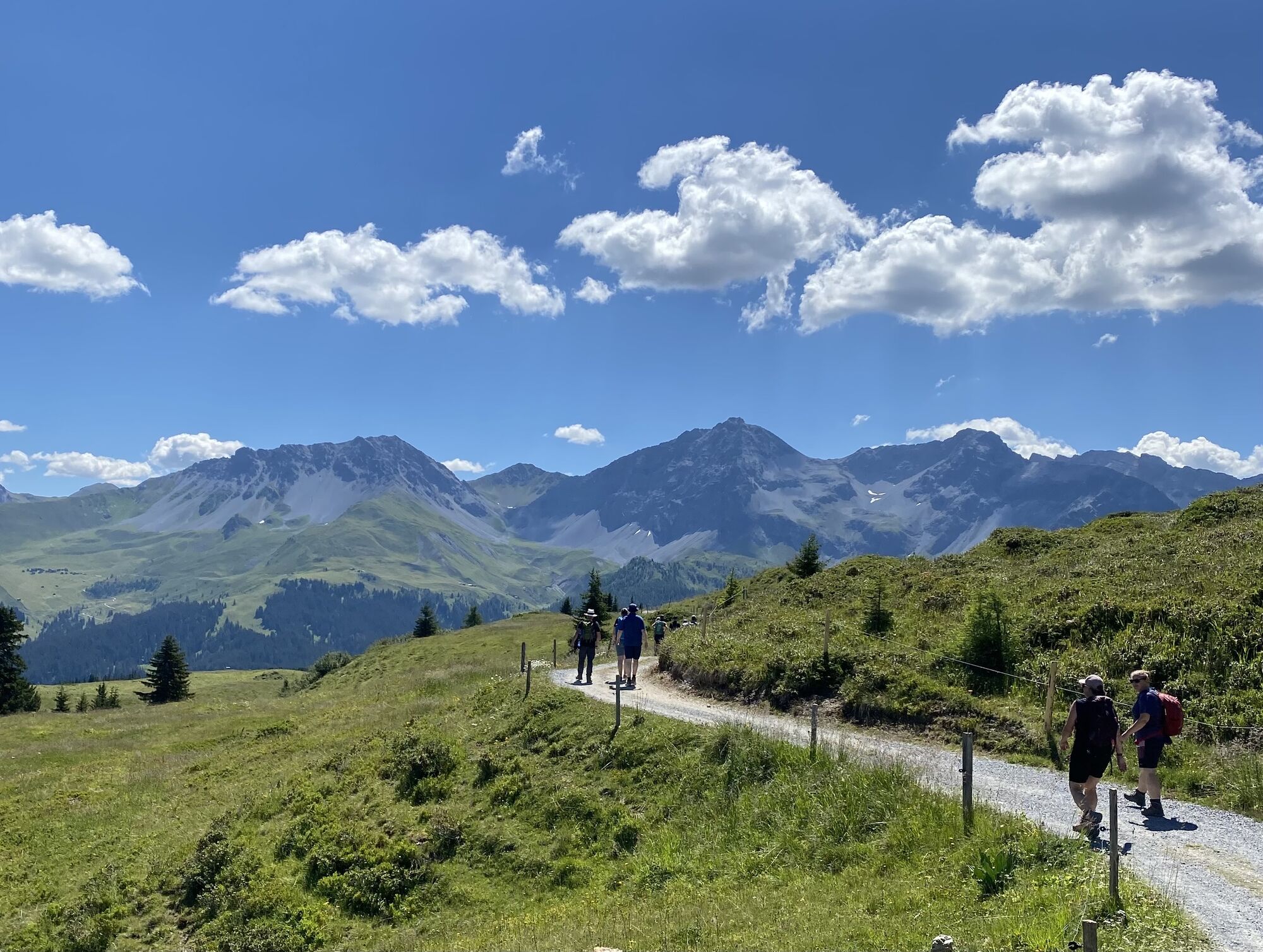
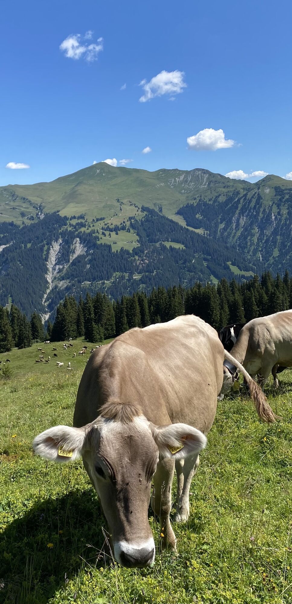
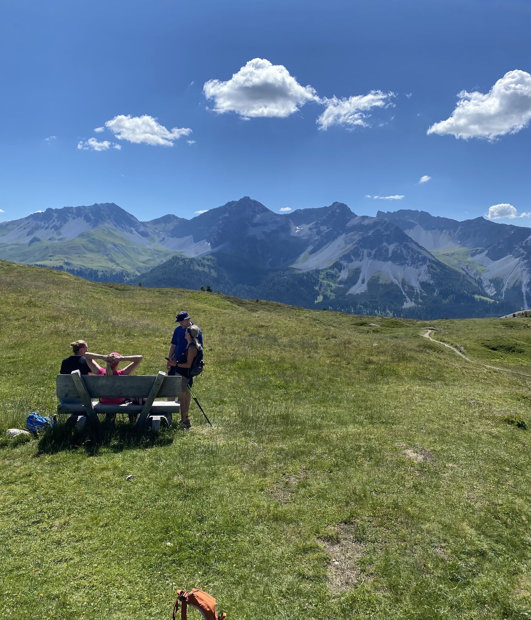
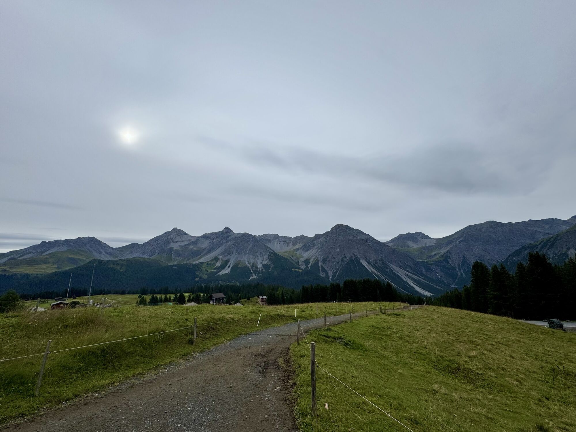
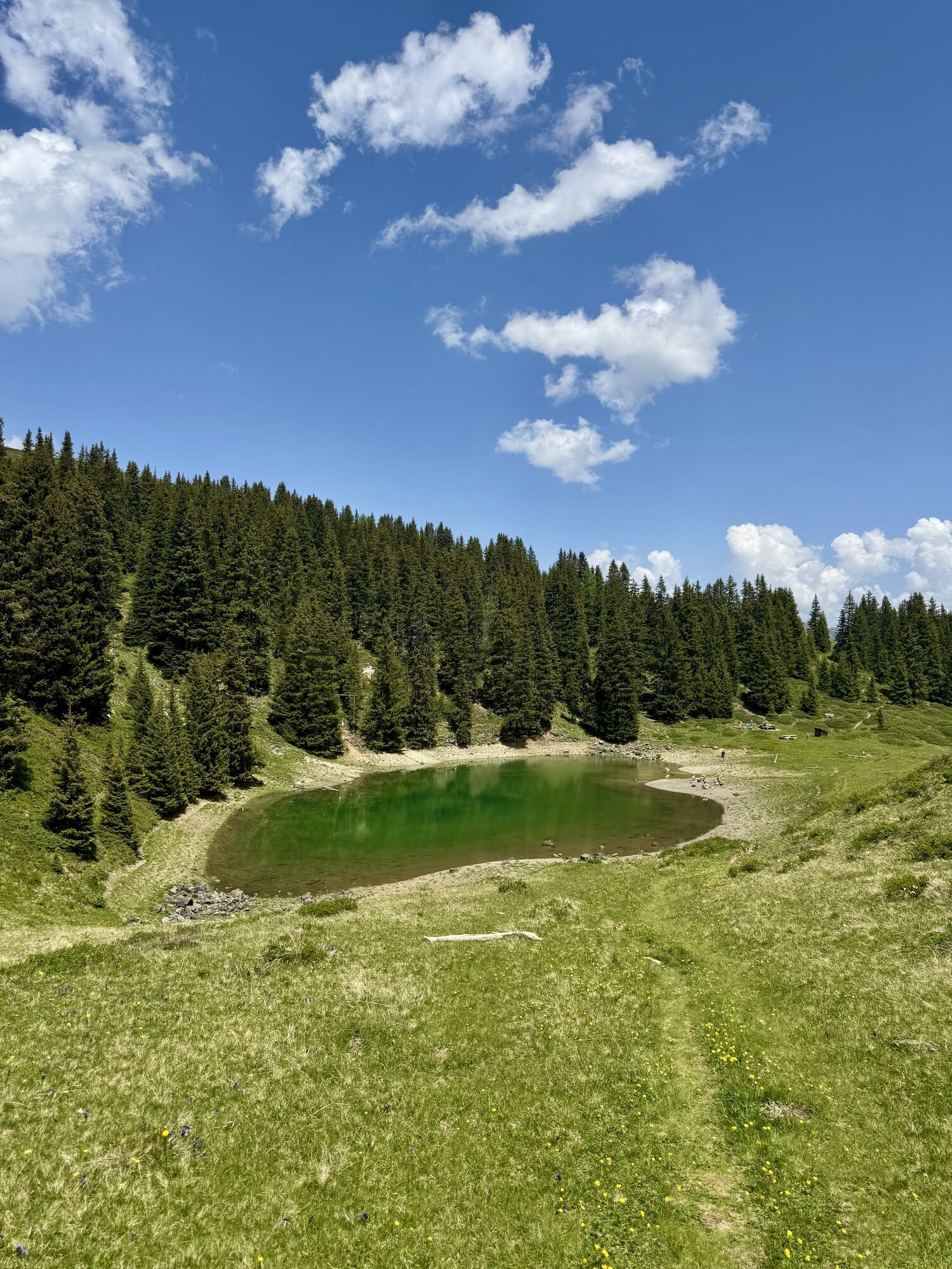
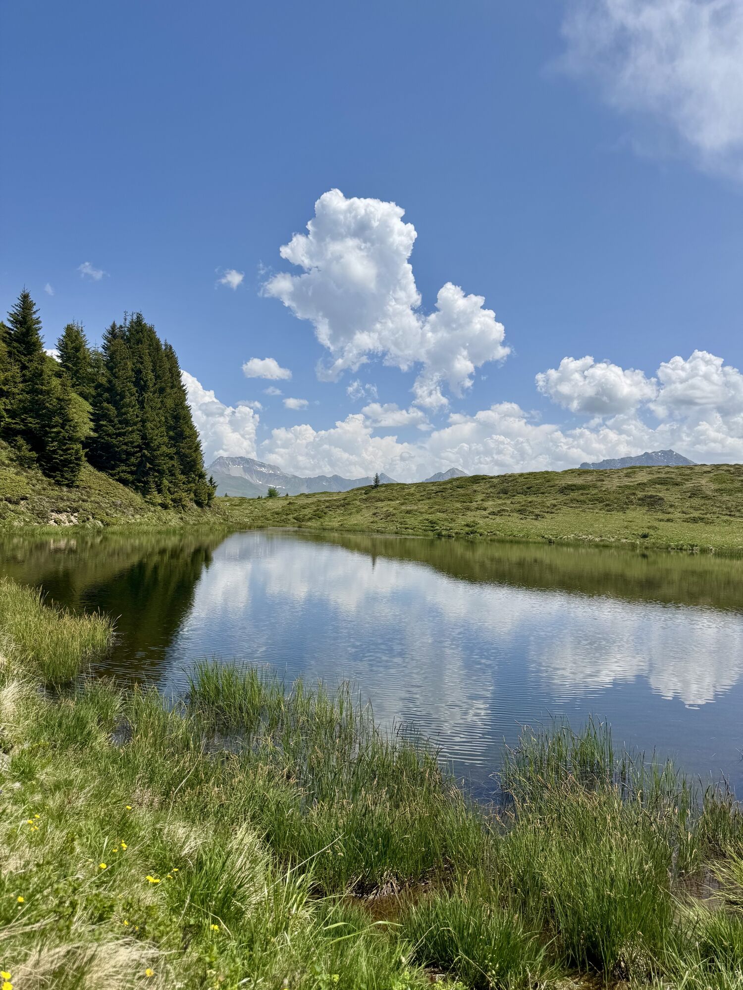
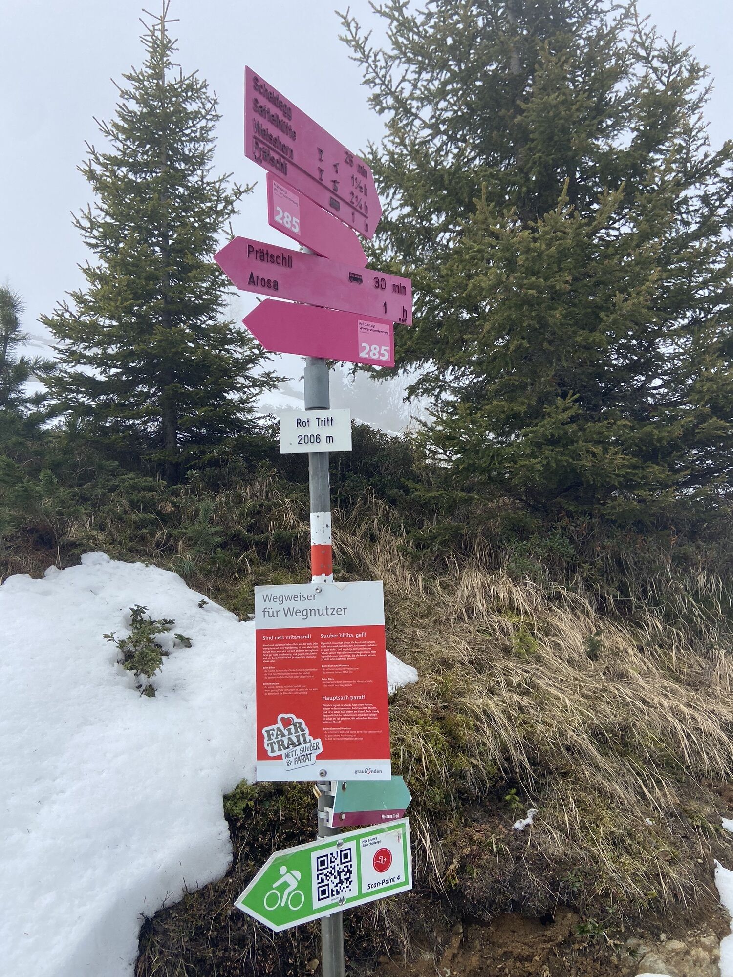
This trail starts at Prätschli and continues through the open forest along the Prätschsee lake all the way to the Prätschalp where it is highly recommended to enjoy a snack and the stunning view. Then...
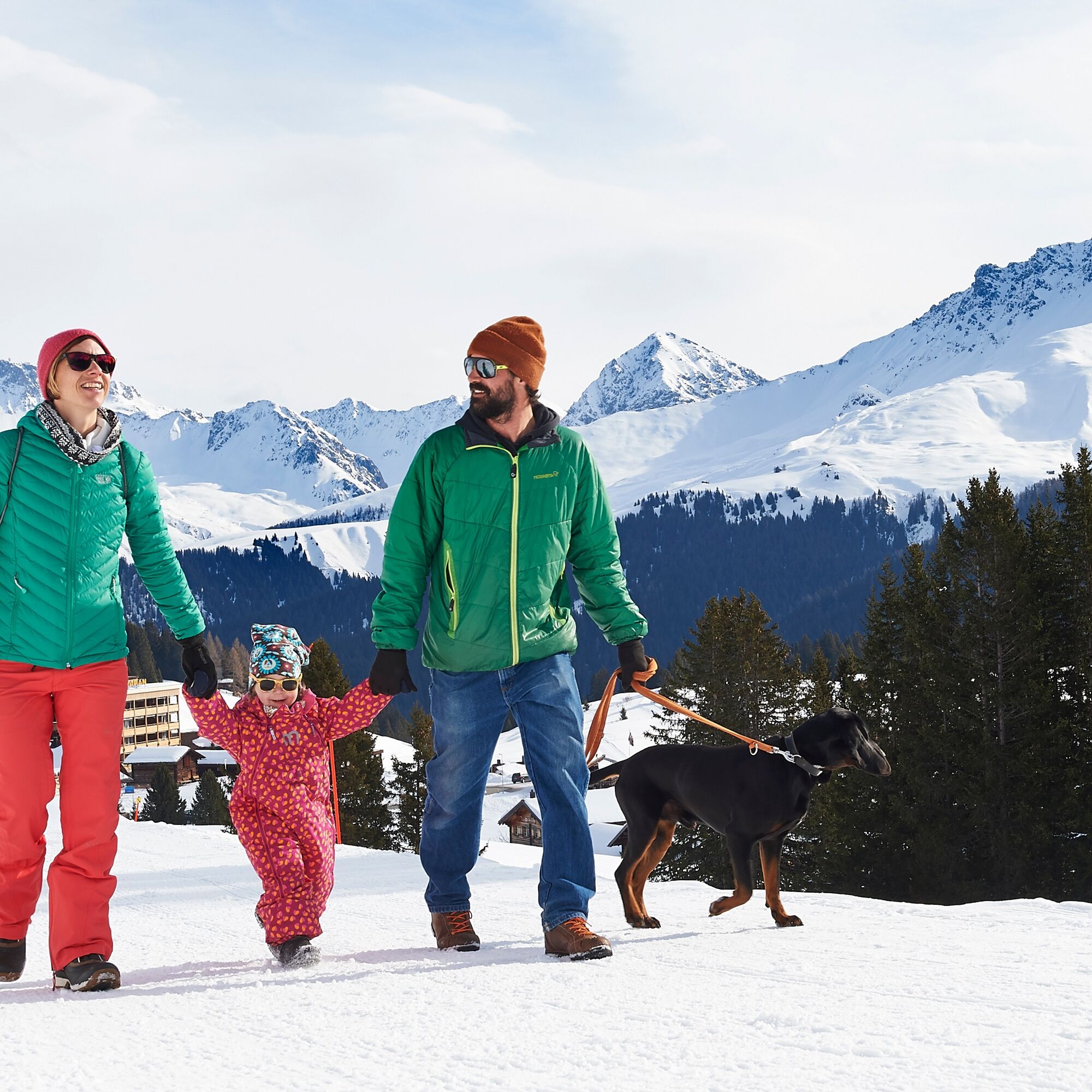
This trail starts at Prätschli and continues through the open forest along the Prätschsee lake all the way to the Prätschalp where it is highly recommended to enjoy a snack and the stunning view. Then the trail keeps going to the Scheidegg - a trail far away from noise and stress.

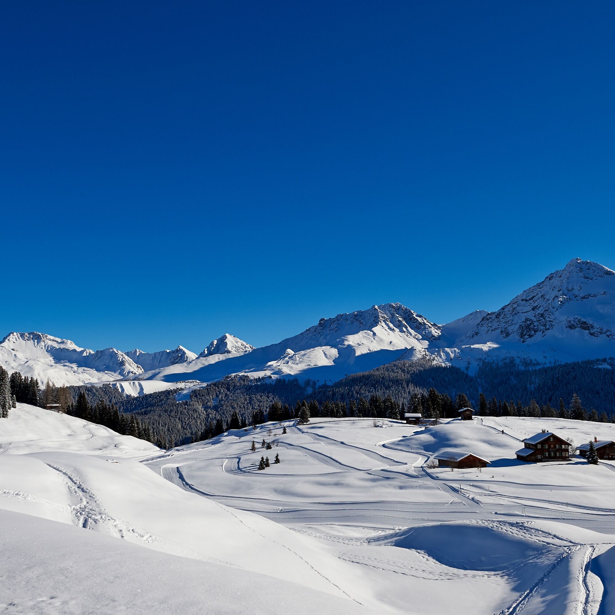
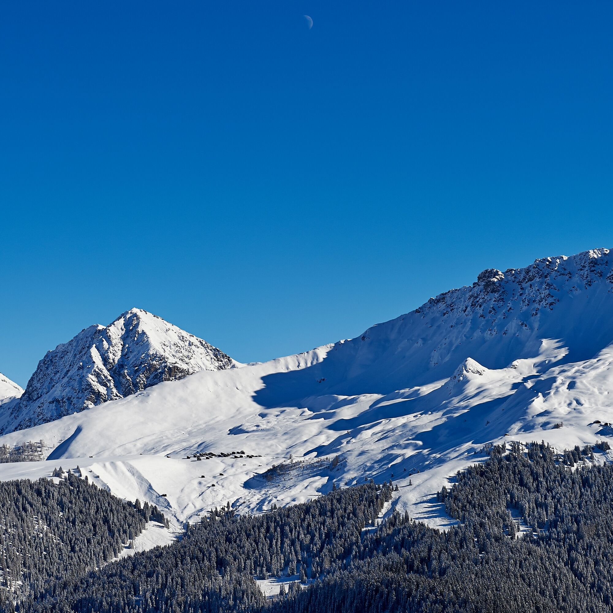

Prätschli - Prätschalp - Rot Tritt - Scheidee - Prätschli
Sturdy shoes. Winter hiking sticks are beneficial.
Please note the current winter sports report.
Once you arrive in Chur, follow the sign posts to Arosa. Turn right at the entrance of the village opposite the petrol station and follow the street until the end.
Current road situation
The Rhaetian Railway leaves Chur to Arosa and back at hourly intervals. From there take the local bus to Prätschli.
There is only a limited number of parking spots at Prätschli. It is therefore recommended to park the car at the parking garage Ochsenbühl and to take the local bus to Prätschli.
UNSERE WÜNSCHE AN DIE WANDERER
Arosa ist bestrebt, den Wanderern ein gut ausgebautes und markiertes Wanderwegnetz zur VerfuÌgung zu stellen. Bitte beherzige die nachstehenden WuÌnsche und Anregungen:
Hundeâ¯gehoÌren an die Leine Bitte nimm die AbfaÌlle und Überreste vonâ¯Picknicks wieder mit nach Hause Auf deinen Wanderungen wirst du oÌfters auchâ¯Wild beobachten koÌnnen. Erfreue dich am Anblick dieser Tiere in ihrer vertrauten Umgebung aber störe die Tiere nicht. Wanderwegmarkierungen stehen lassen Gesperrte Wege nicht benutzen Wintersportbericht Die offiziell markierten Winterwanderwege nicht verlassenDie Benützung des Ortsbuses ist kostenlos. Fahrplan Arosa Bus
You can get from the village to Prätschli comfortably on the free local bus. Enjoy a stopover in the Prätschalp.
Kamery internetowe z trasy
Uzyskaj wgląd
Zawsze na żywo z ponad 9 500 kamer internetowych. bergfex Jako użytkownik Pro, możesz teraz zobaczyć odpowiednie kamery internetowe dla wielu wycieczek w aplikacji wycieczki od. Pozwala to na bezpośredni podgląd aktualnych warunków.
Popularne wycieczki w okolicy
-
3,9
Arosa-Medergen-Tritt-Latschüelfurgga-Strelapass-Davos
średniWędrówka 22,5 km -
Arosa-Schwellisee-Älplisee-Parpaner Rothorn
Wędrówka 12,3 km -
4,7
749 Val Meltger suspension bridge trail
średniWędrówka 8,30 km -
4,7
Arosa-Hörnli-Parpaner Rothorn-Lenzerheide
Wędrówka 11,9 km -
3,5
Arosa-Maienfelder Furgga-Stafelalp-Davos
średniWędrówka 15,9 km -
5,0
Arosa-Hörnli-Urdenfürrgli-Alp Scharmoin-Lenzerheide
średniWędrówka 15,3 km -
5,0
Eichhörnliweg Arosa
światłoTrasa tematyczna 1,72 km -
5,0
Arosa-Erzhornsattel-Arosa
Wędrówka 14,9 km -
Alp Sanaspans - Rothorn
ciężkiWędrówka 13,6 km -
5,0
767 Alteinsee Schiesshorn
średniWędrówka 11,9 km
Wędrówki i tropienie


Nie przegap ofert i inspiracji na następne wakacje
Twój adres e-mail została dodana do listy mailingowej.





