






749 Val Meltger suspension bridge trail
Lantsch/Lenz lies on a sunny terrace above the Albula Valley. Among the village's sights are the three churches, including the parish church of St. Anthony of Padua in the middle of the village and on...
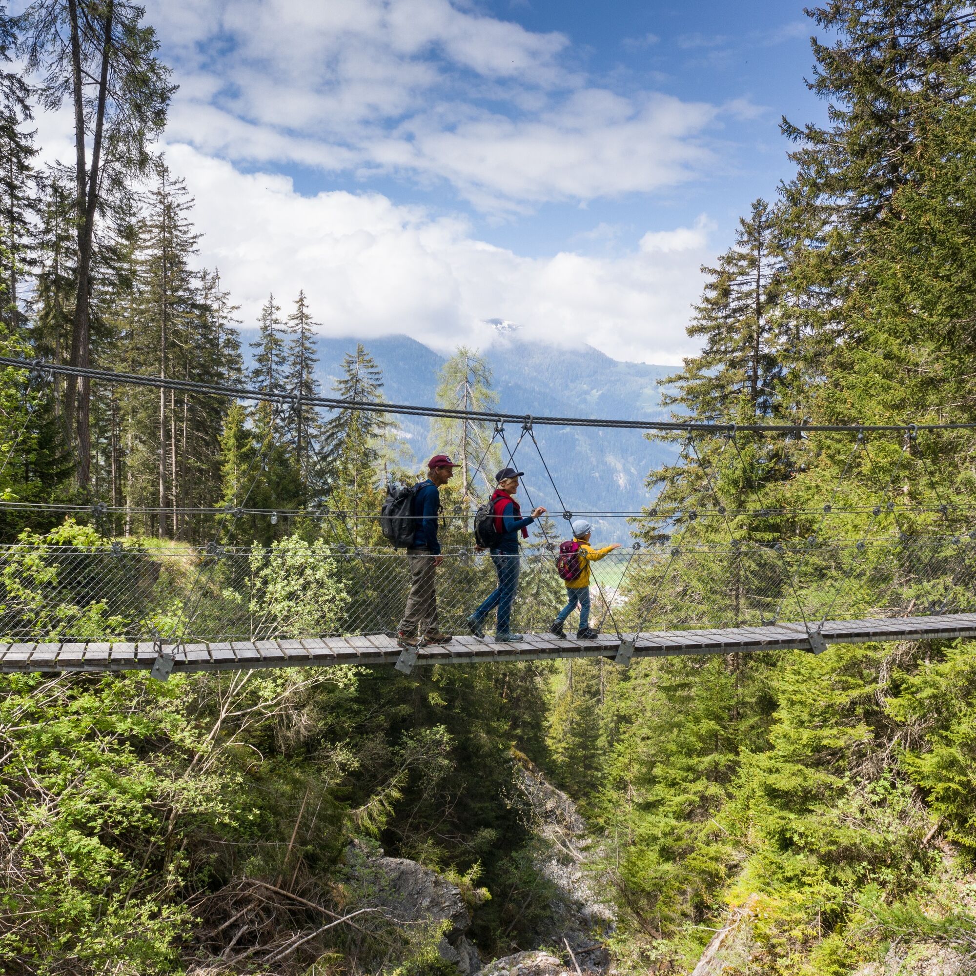
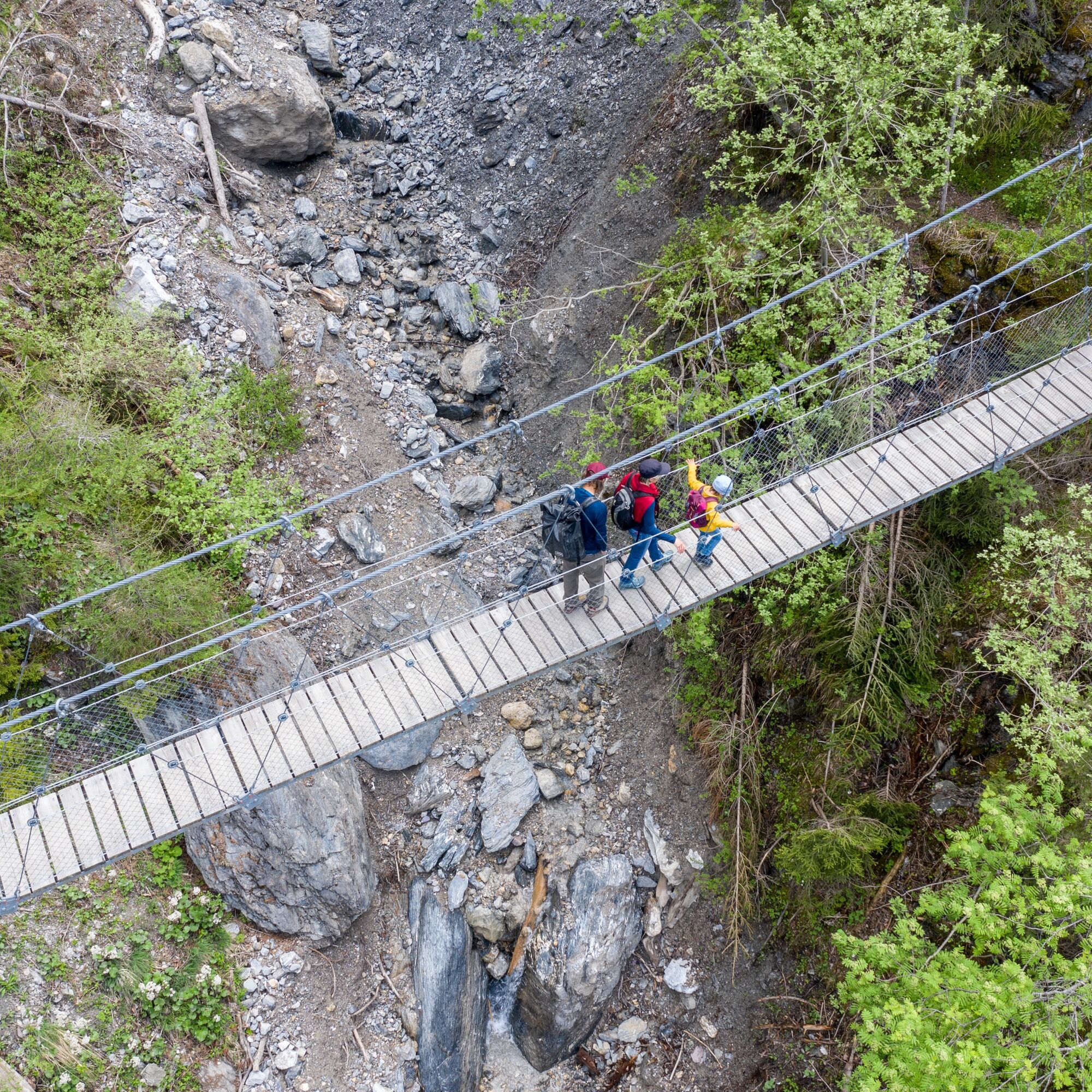
After crossing the bridge, a narrow path leads on towards Vasternos. The landscape opens up and the remote alpine hut marks the transition to quieter terrain. A forest road descends gently before the path climbs again at a junction. It crosses the mostly dry mountain stream at Runcalatsch, where it is worth taking a brief look at the rocky stream bed. The route then continues downhill and back to the starting point in the village.
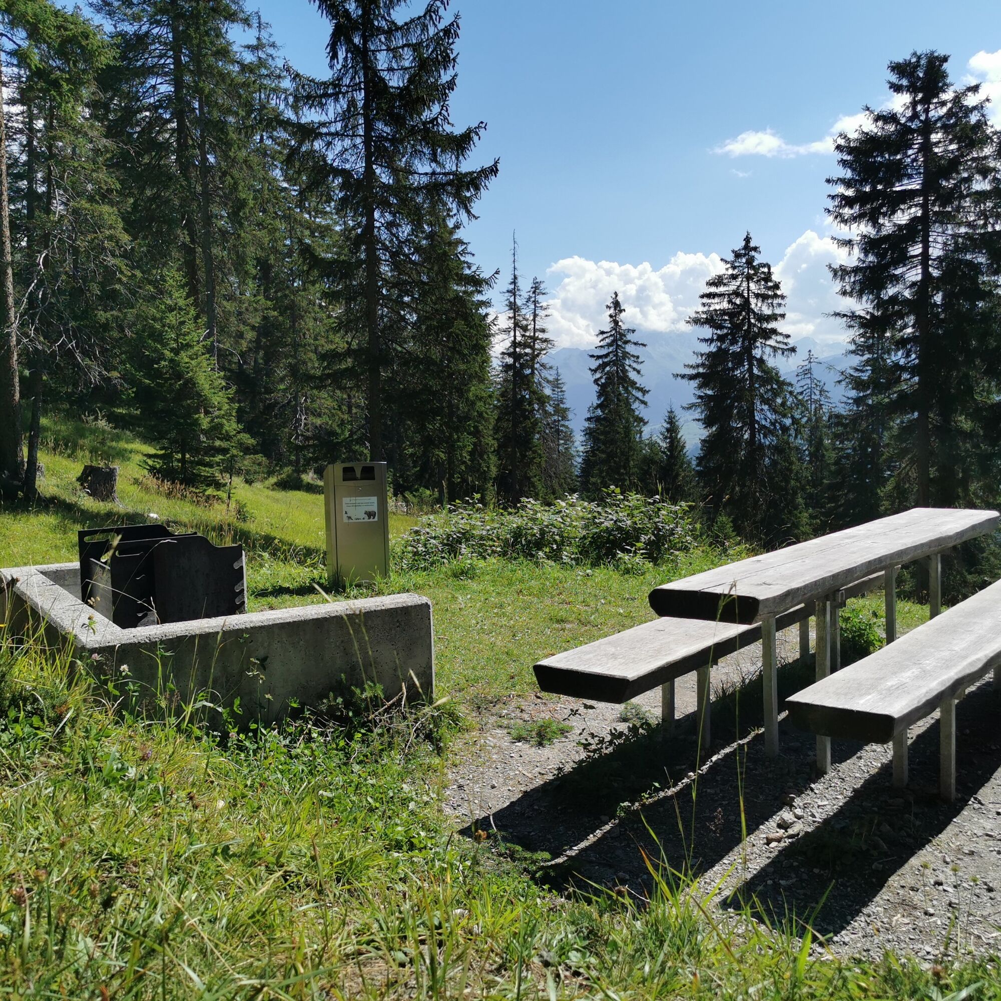
The hike combines different landscapes: narrow forest paths, open alpine meadows and a spectacular gorge crossing. The contrasts between the quiet sections and the exposed passages on the bridge are characteristic. Historical buildings or tourist infrastructure are largely absent, which emphasizes the natural character of the route. The differences in altitude require a good level of fitness, but reward you with varied perspectives and an intense experience of nature.


Die Rundwanderung ist im Gelände mit der Nummer 749 Signalisiert.
Tak
Tak
Good footwear. Although almost the entire loop leads along a wide forest road, a small section can be passed on a narrower root path.
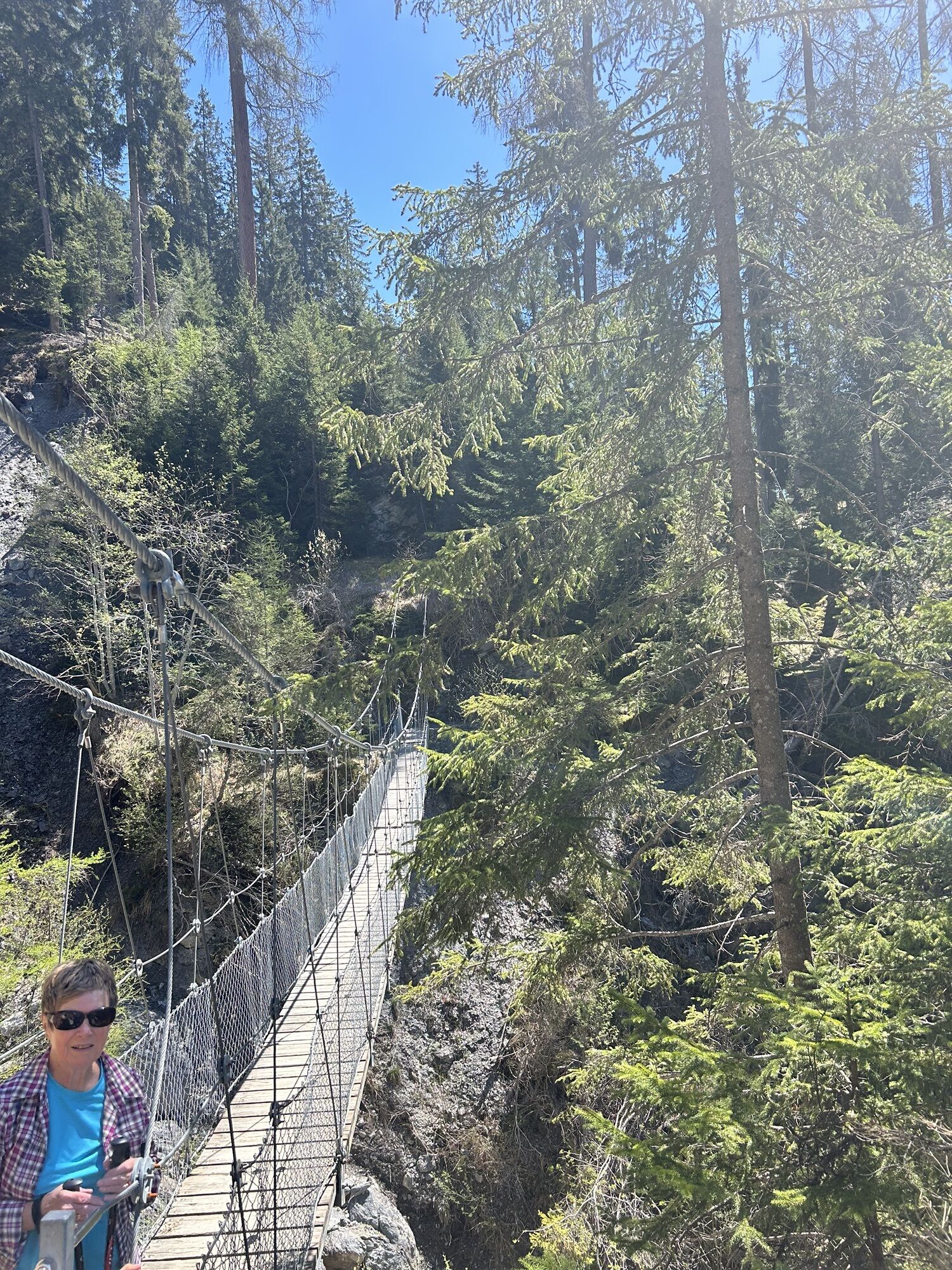
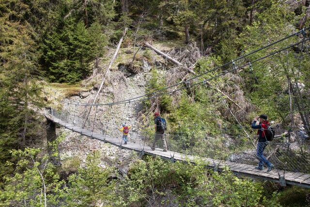
The route leads over a narrow suspension bridge.
After passing the village Lantsch/Lenz the ascent to the hanging-bridge at Val Meltger is very steep.
 Uzyskaj wgląd
Zawsze na żywo z ponad 9 500 kamer internetowych. bergfex Jako użytkownik Pro, możesz teraz zobaczyć odpowiednie kamery internetowe dla wielu wycieczek w aplikacji wycieczki od. Pozwala to na bezpośredni podgląd aktualnych warunków.
Uzyskaj wgląd
Zawsze na żywo z ponad 9 500 kamer internetowych. bergfex Jako użytkownik Pro, możesz teraz zobaczyć odpowiednie kamery internetowe dla wielu wycieczek w aplikacji wycieczki od. Pozwala to na bezpośredni podgląd aktualnych warunków.
Popularne wycieczki w okolicy
-
Arosa-Schwellisee-Älplisee-Parpaner Rothorn
Wędrówka 12,3 km -
4,7
Arosa-Hörnli-Parpaner Rothorn-Lenzerheide
Wędrówka 11,9 km -
5,0
Arosa-Hörnli-Urdenfürrgli-Alp Scharmoin-Lenzerheide
średniWędrówka 15,3 km -
5,0
Eichhörnliweg Arosa
światłoTrasa tematyczna 1,72 km -
5,0
Arosa-Erzhornsattel-Arosa
Wędrówka 14,9 km -
2,0
Arosa-Furclettapass-Alvaneu
Wędrówka 21,8 km -
5,0
767 Alteinsee Schiesshorn
średniWędrówka 11,9 km -
5,0
4-Viaduct hike
średniWędrówka 13,6 km -
Prätschli-Carmennahütte
Mountainbike 6,36 km -
745 Family Trail Lenzerheide
światłoWędrówka 9,36 km

Wędrówki i tropienie


Nie przegap ofert i inspiracji na następne wakacje
Twój adres e-mail została dodana do listy mailingowej.





