







Mid-station Arosa Weisshorn - Schwellisee - Bergkirchli - Innerarosa


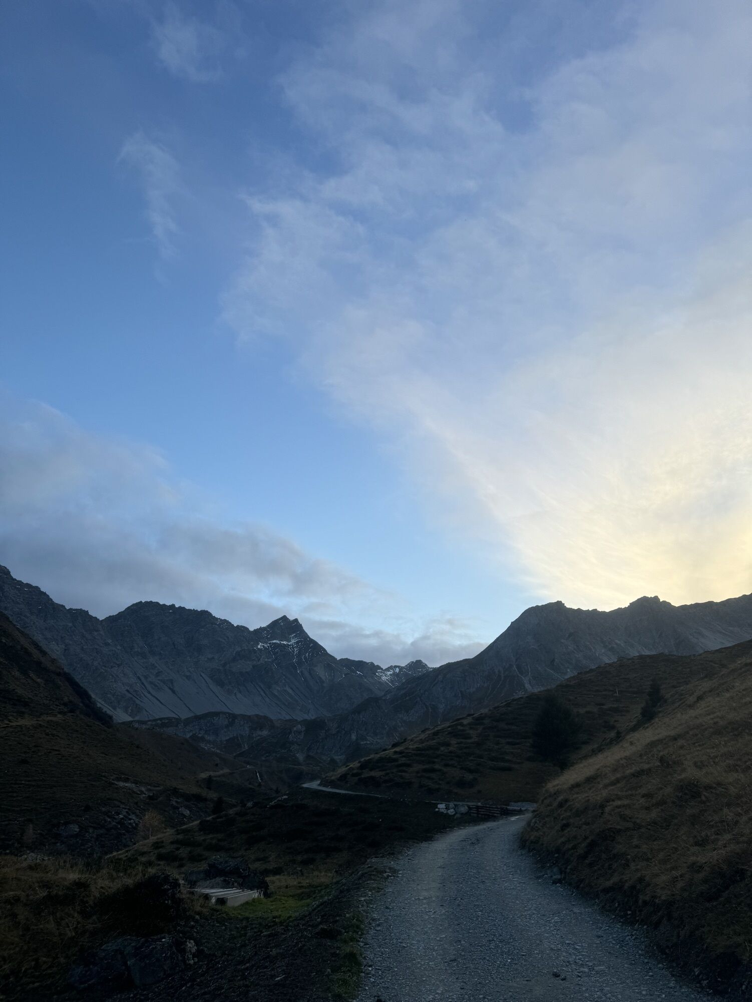
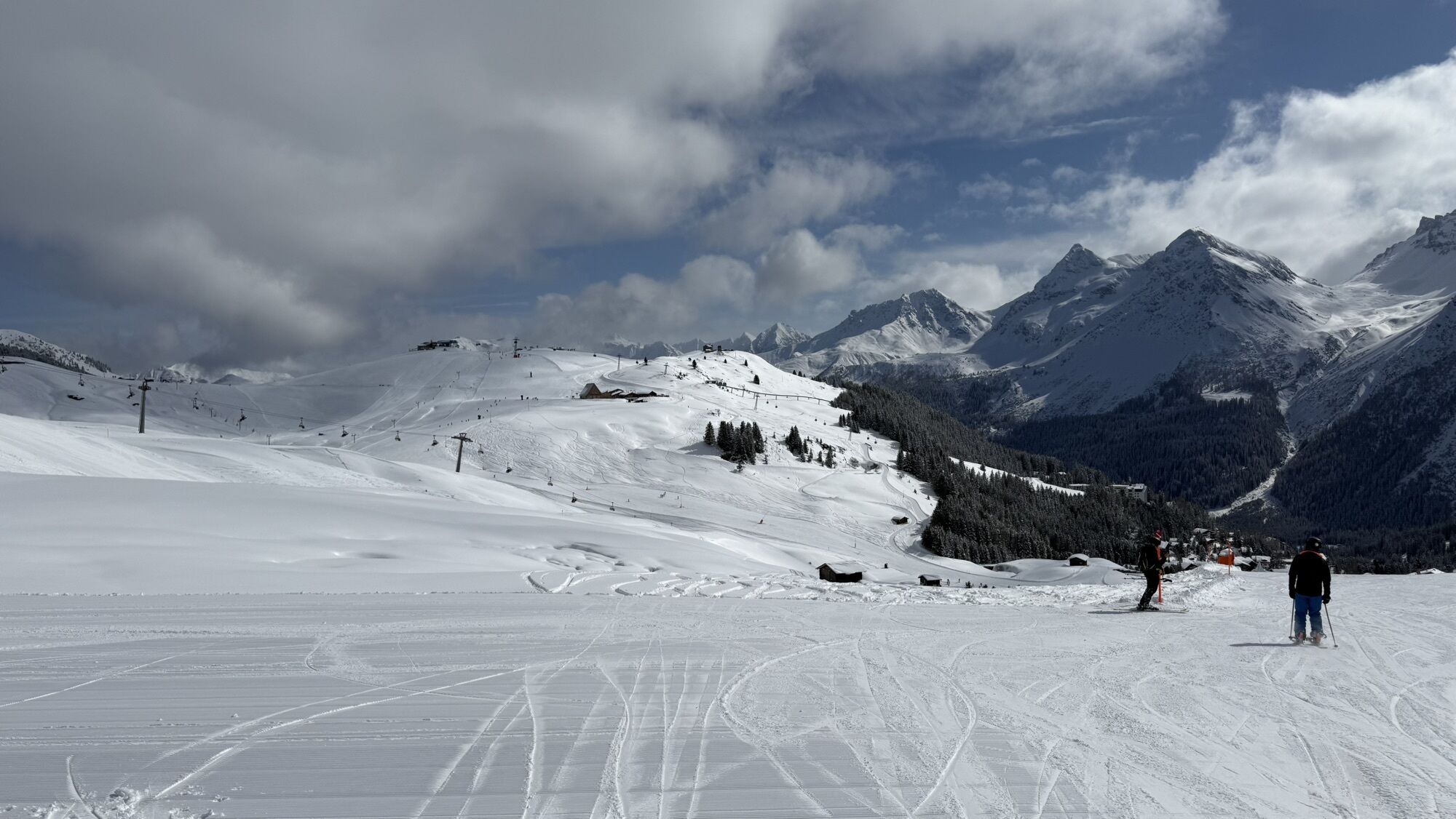
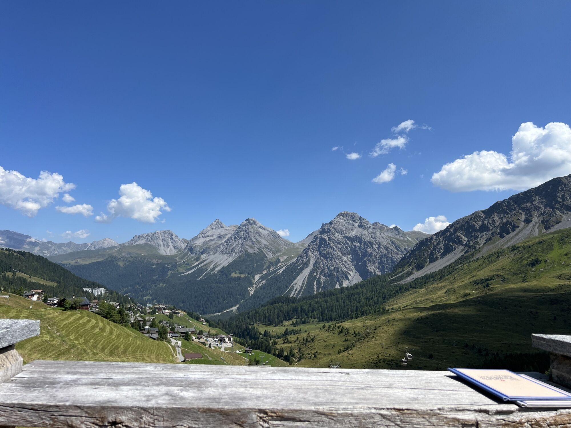
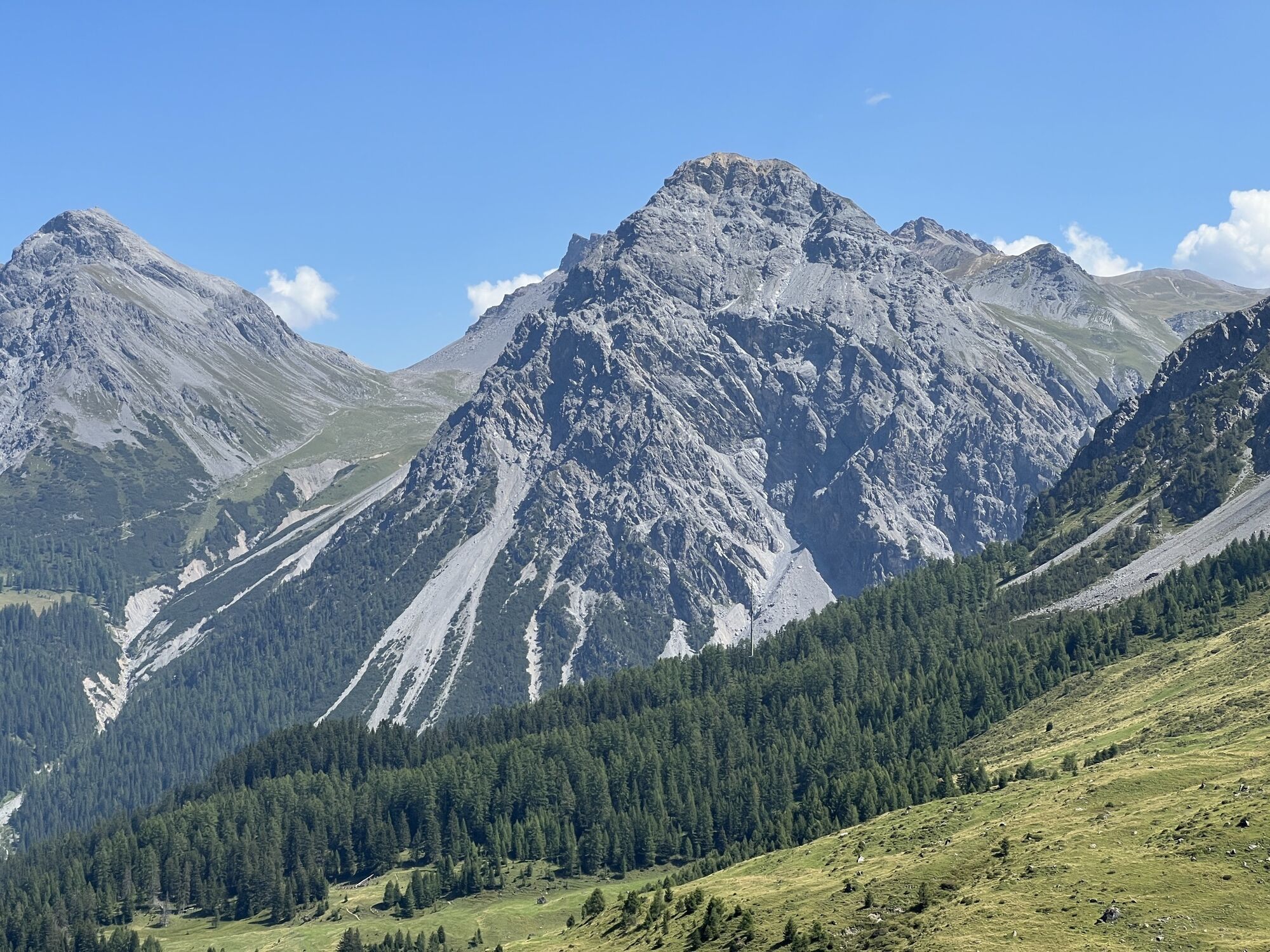
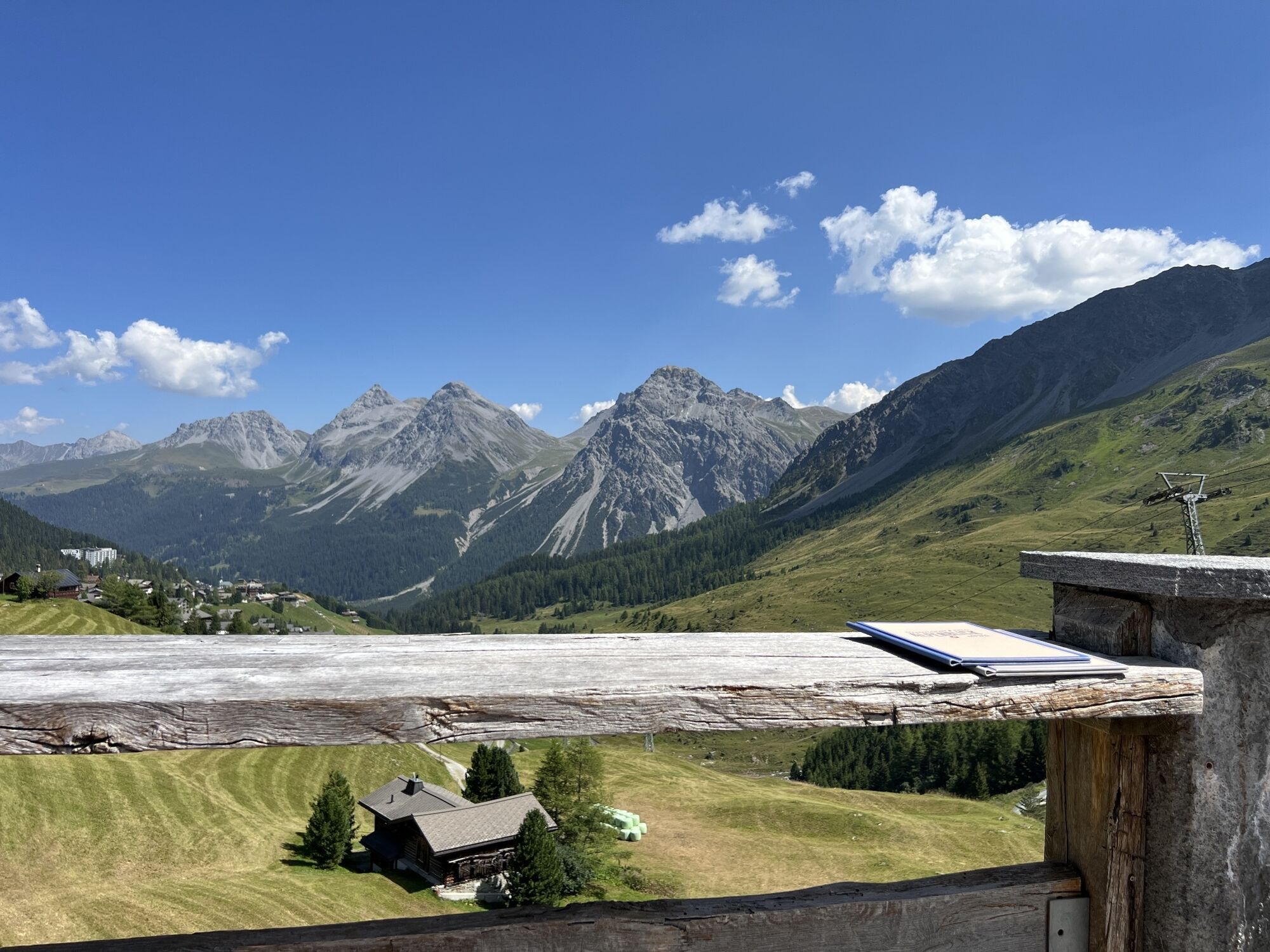
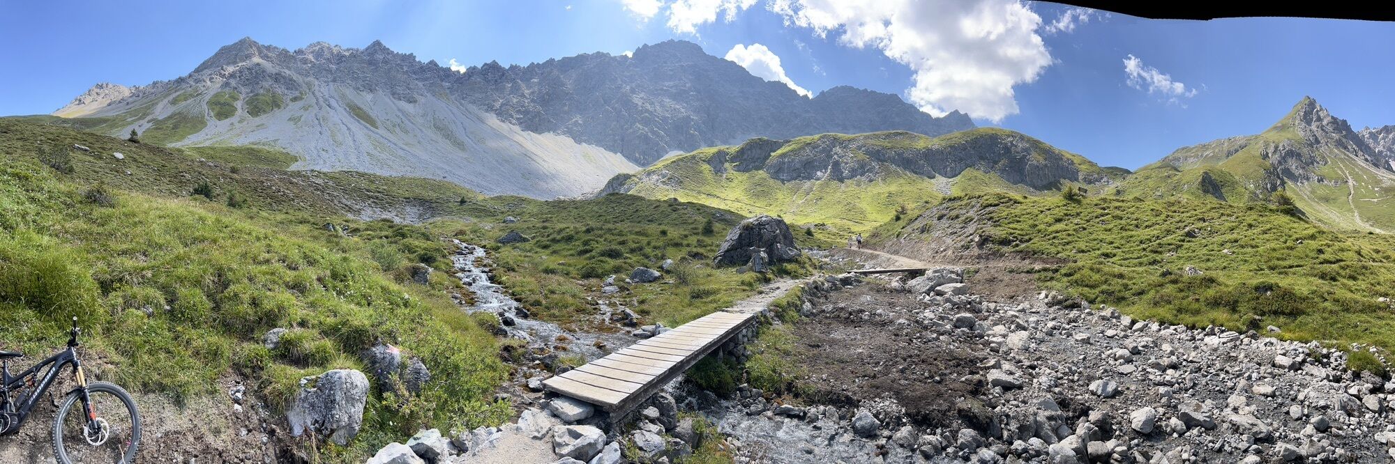


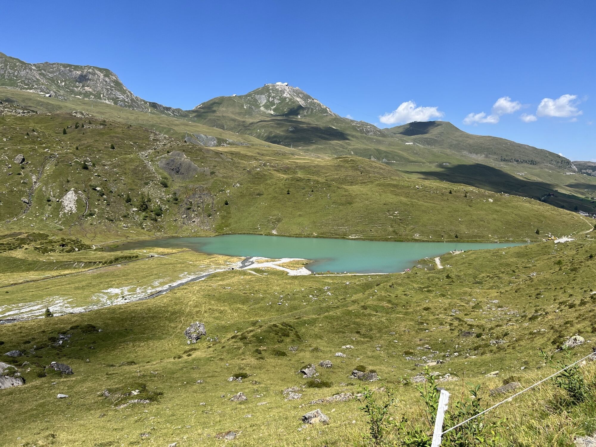
With the Arosa-Weisshorn aerial cableway, you first reach the mid-station. From there, the wide path leads straight through the ski area, past grazing cows and through colorful flower meadows to the crystal-clear...
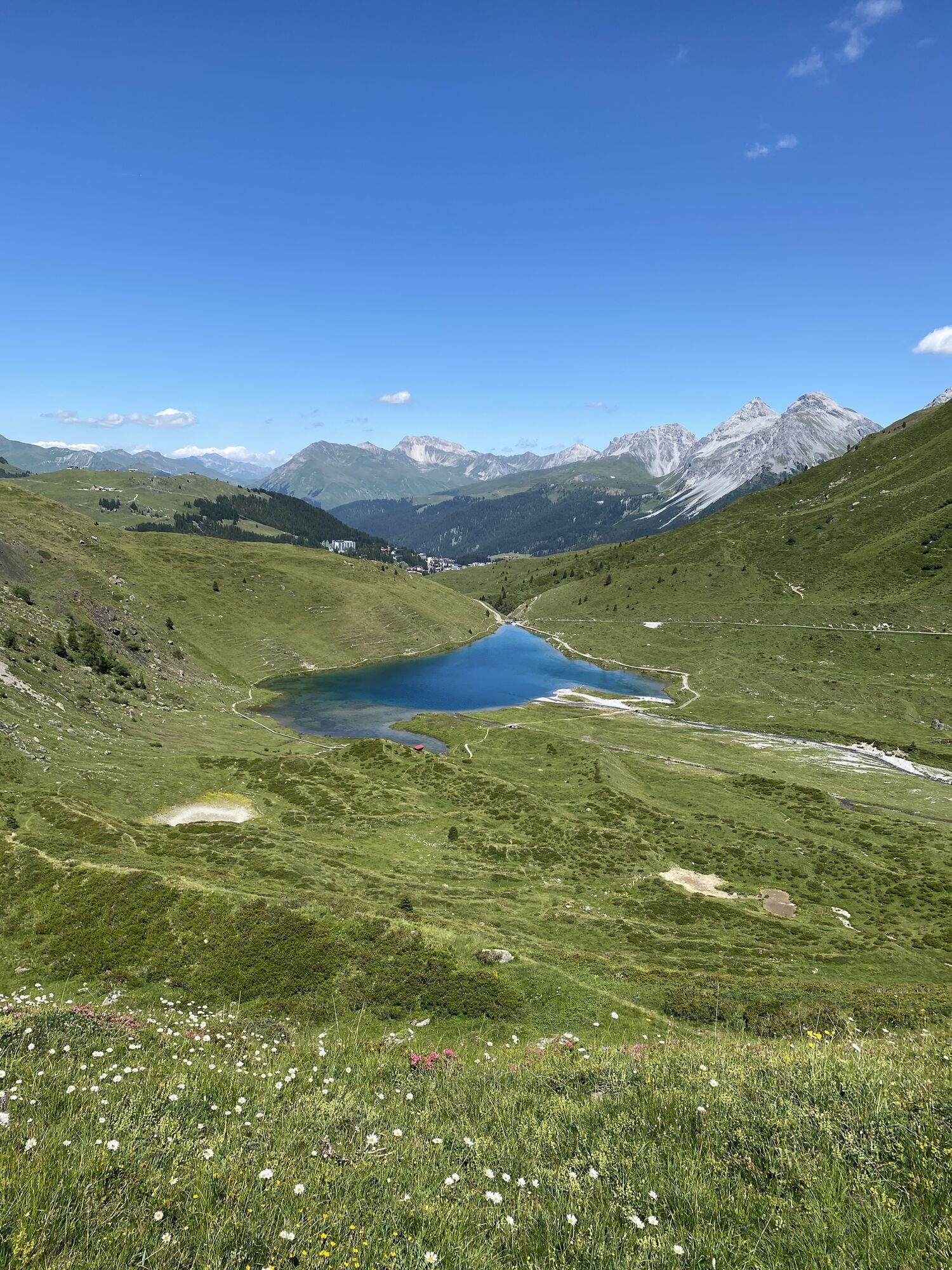
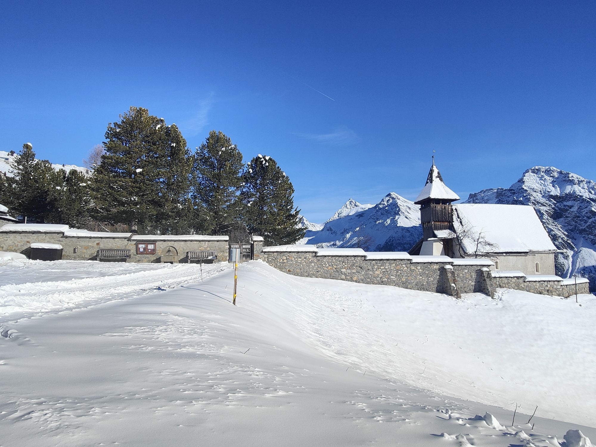
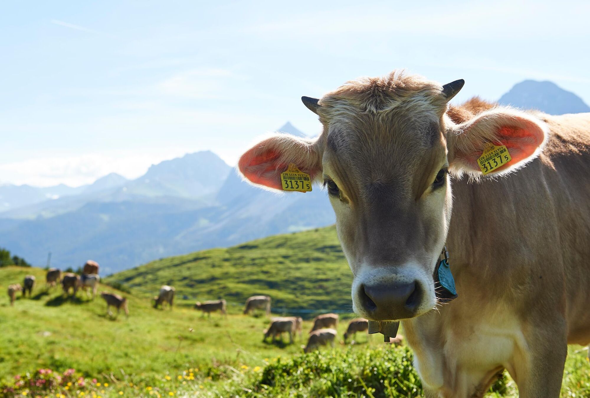
With the Arosa-Weisshorn aerial cableway, you first reach the mid-station. From there, the wide path leads straight through the ski area, past grazing cows and through colorful flower meadows to the crystal-clear and icy cold Schwellisee. From here, the path leads back towards the village to the Bergkirchli. A visit to the cemetery and a look into the Kirchli are worthwhile.
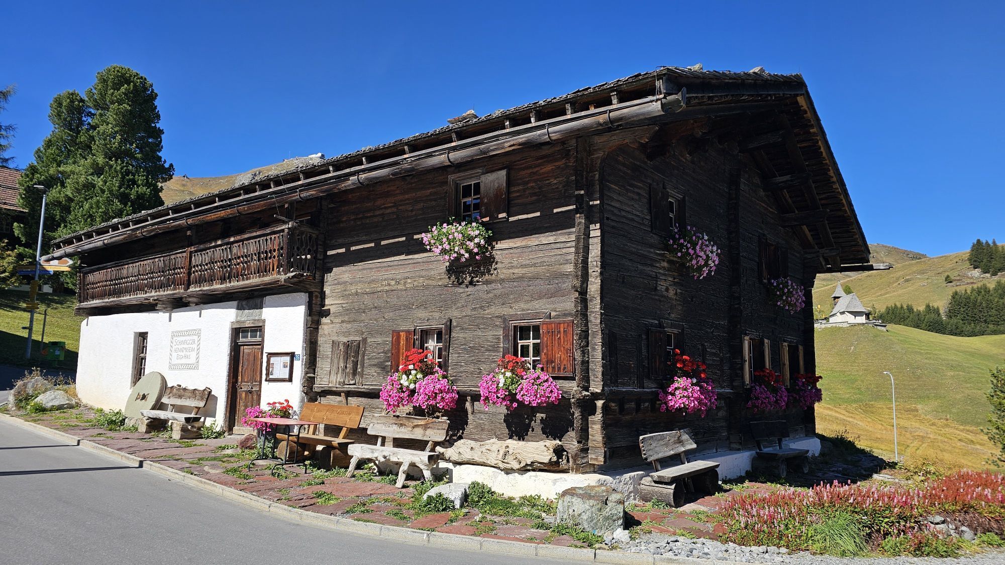
From there, it is not far to the local history museum in the Eggahuus. A visit or even a lecture in this old Walser house are unforgettable experiences. It is only a stone’s throw from here to the next bus stop.

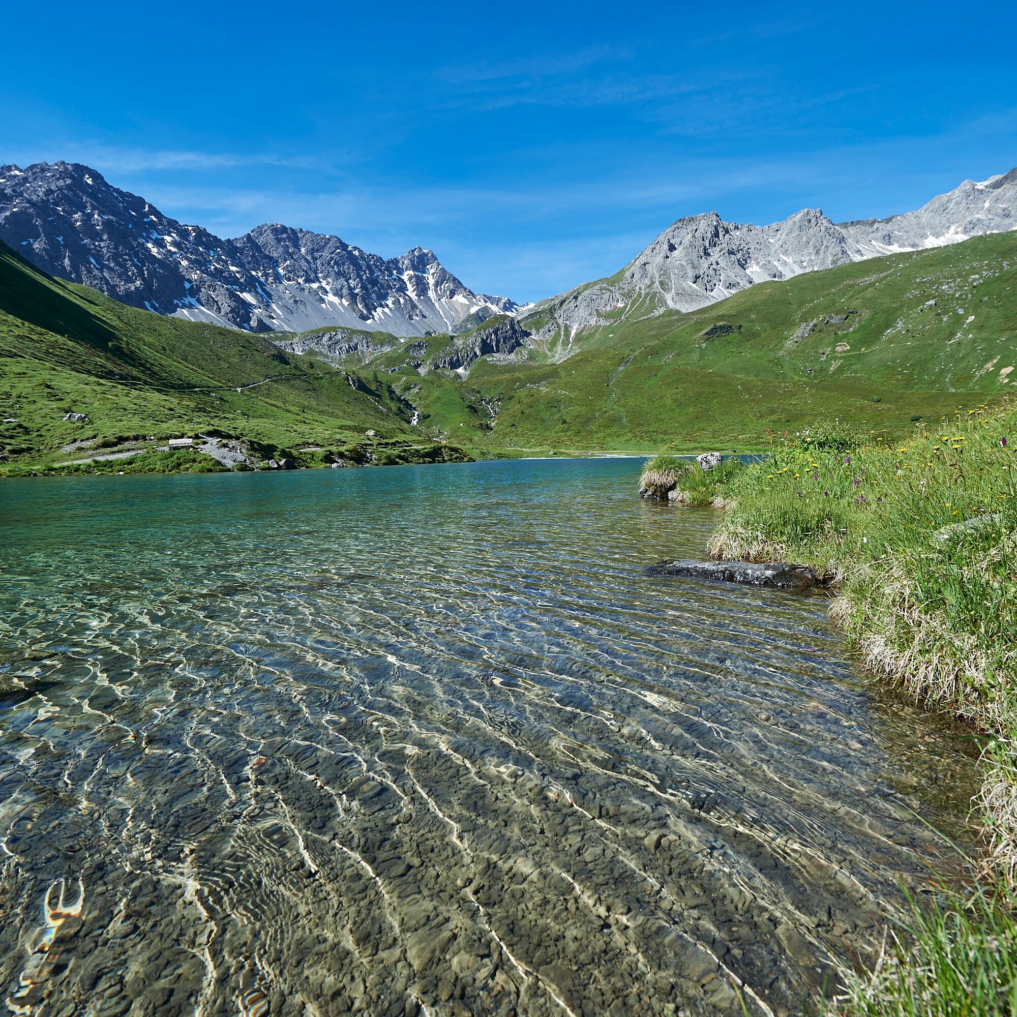
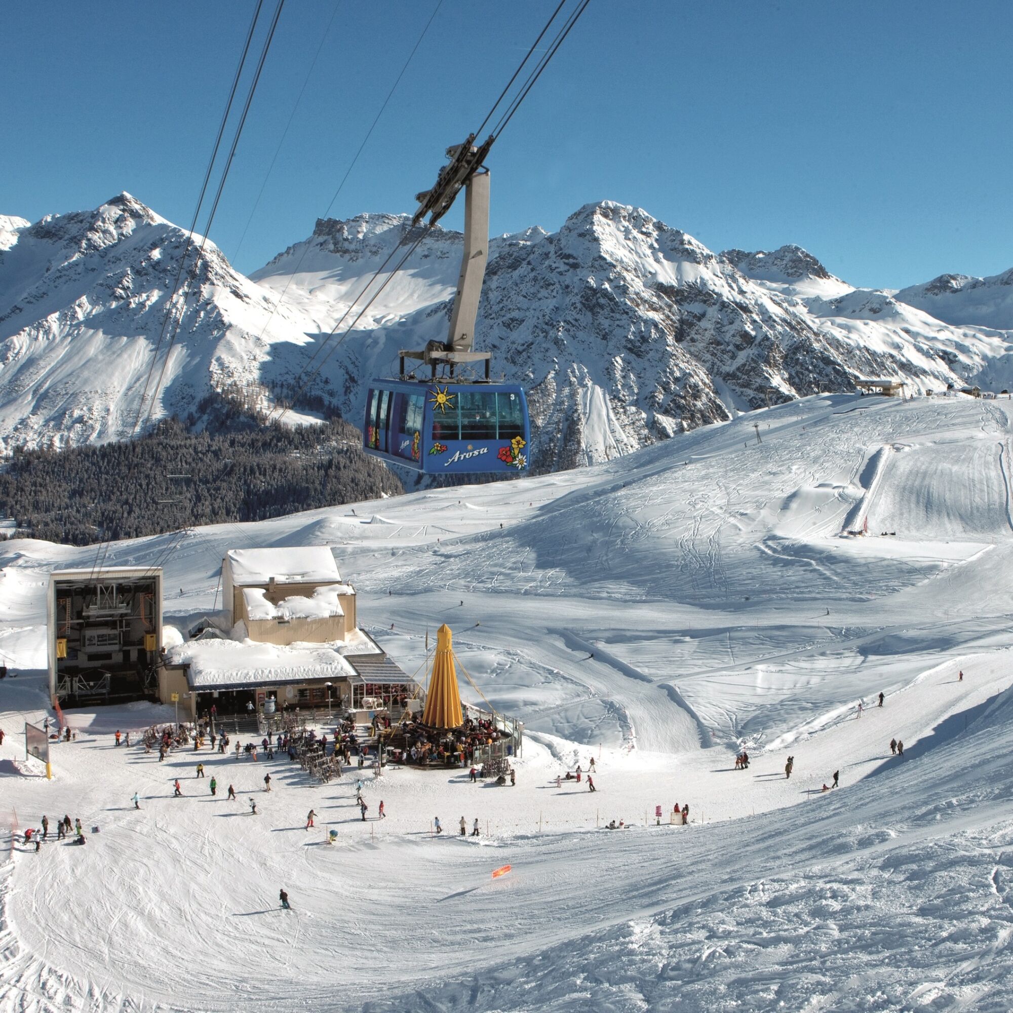
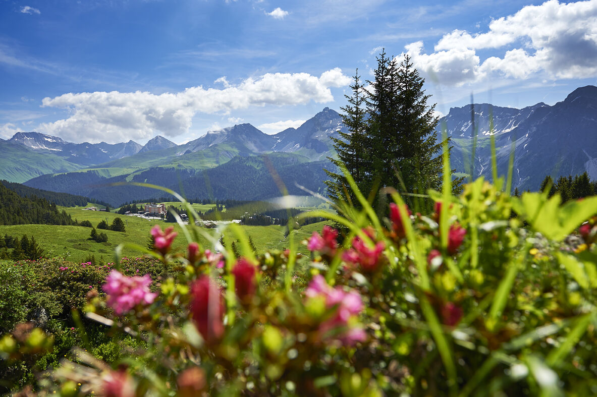
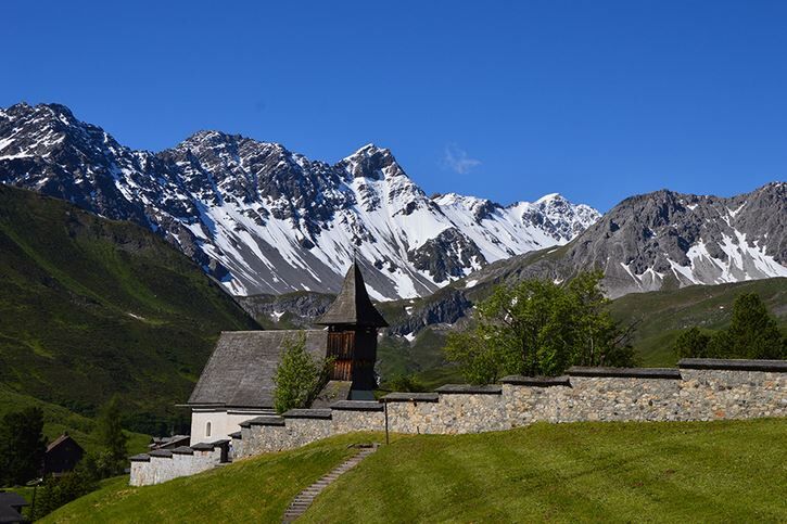
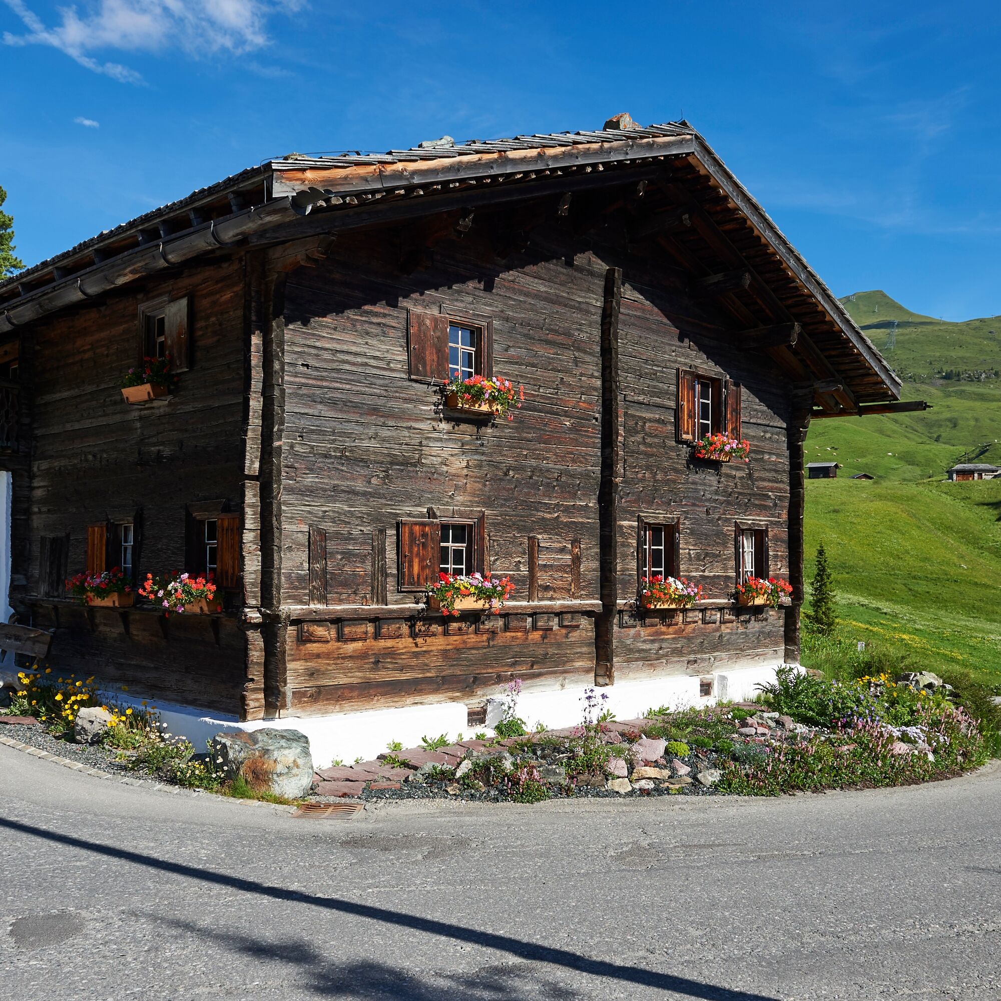

With the Arosa-Weisshorn aerial cableway, you first reach the mid-station. From there, the wide path leads straight through the ski area to the Schwellisee. From here, the path leads back towards the village to the Bergkirchli and along the street to the local history museum in the Eggahuus.
Tak
Shoes with good tread are advantageous.
From Chur, follow the traffic signs to Arosa. After the Obersee, turn into the second street. After about 30 meters, you will reach the valley station of the Arosa-Weisshorn aerial cableway.
With the Rhaetian Railway, you can travel from Chur to Arosa every hour. The train ride takes 60 minutes. Right next to the station is the valley station of the Arosa - Weisshorn aerial cableway.
After visiting the local history museum, you can comfortably return to the station by the local bus. The bus departs every 20 minutes from the Gada stop, which is only about 200 meters below the local history museum.
Since parking at the valley station of the Arosa-Weisshorn aerial cableway is limited, it is recommended to park either in the Ochsenbühl or Brüggli parking garages. Both parking garages have a bus stop nearby, from where you can quickly reach the valley station of the Arosa-Weisshorn aerial cableway.
This hike is also possible in winter.
Kamery internetowe z trasy

Popularne wycieczki w okolicy
-
4,6
749 Val Meltger suspension bridge trail
średniWędrówka 8,30 km -
3,9
Arosa-Medergen-Tritt-Latschüelfurgga-Strelapass-Davos
średniWędrówka 22,5 km -
Arosa-Schwellisee-Älplisee-Parpaner Rothorn
Wędrówka 12,3 km -
4,7
Arosa-Hörnli-Parpaner Rothorn-Lenzerheide
Wędrówka 11,9 km -
3,5
Arosa-Maienfelder Furgga-Stafelalp-Davos
średniWędrówka 15,9 km -
5,0
Alp Sanaspans - Rothorn
ciężkiWędrówka 13,6 km -
5,0
Eichhörnliweg Arosa
światłoTrasa tematyczna 1,72 km -
5,0
Arosa-Hörnli-Urdenfürrgli-Alp Scharmoin-Lenzerheide
średniWędrówka 15,3 km -
5,0
4-Viaduct hike
średniWędrówka 13,6 km -
5,0
767 Alteinsee Schiesshorn
średniWędrówka 11,9 km

Wędrówki i tropienie


Nie przegap ofert i inspiracji na następne wakacje
Twój adres e-mail została dodana do listy mailingowej.





