


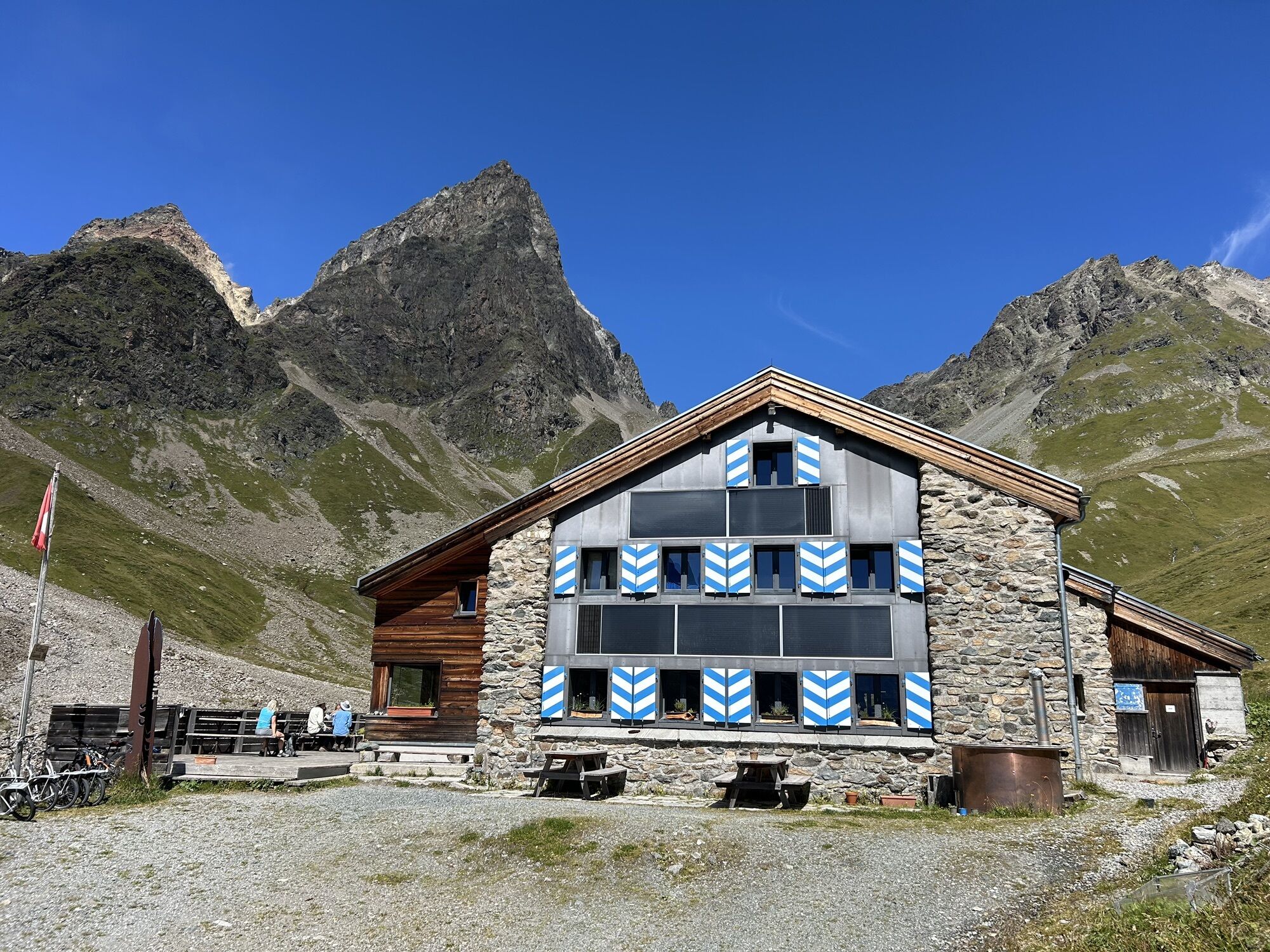
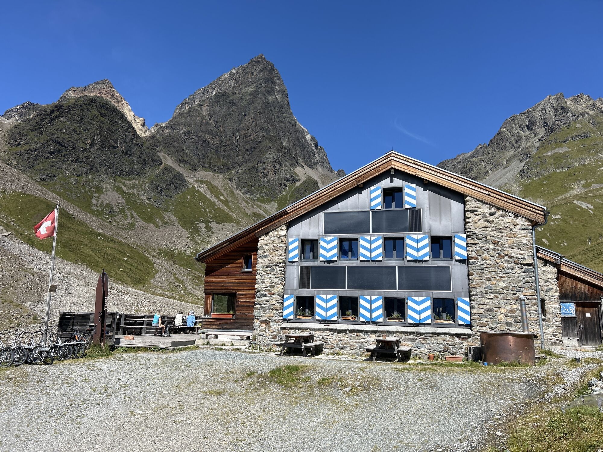
Chamonna Tuoi – Ftan
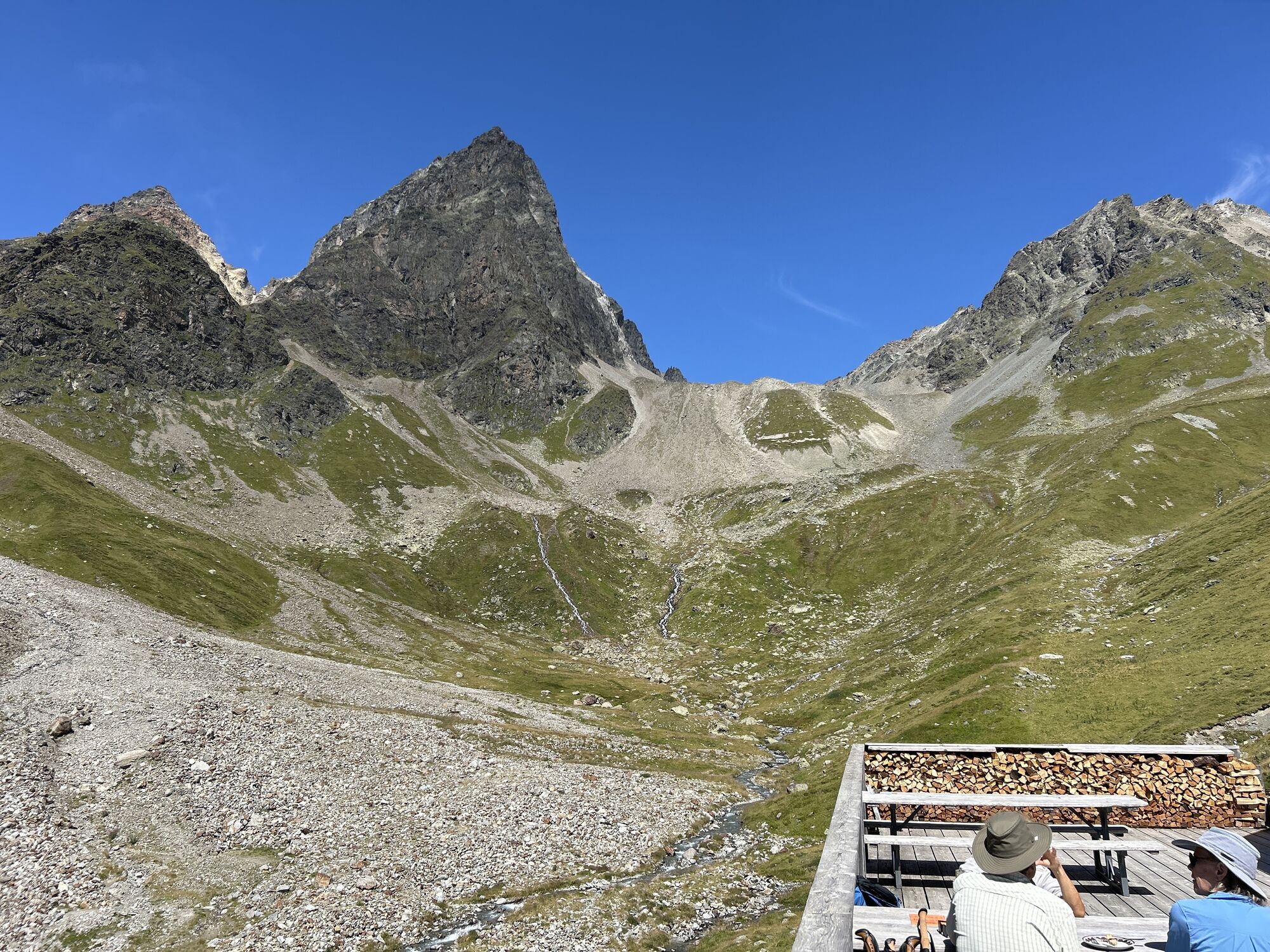
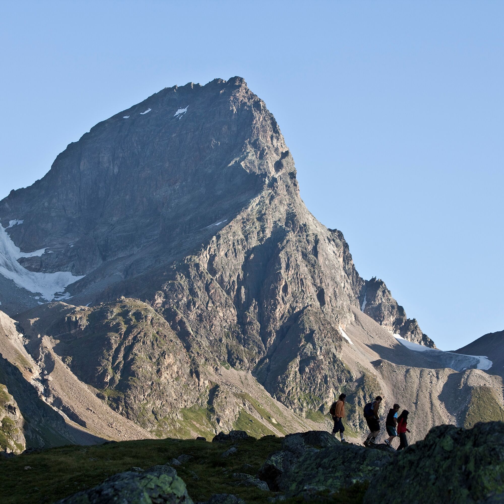
From Chamonna Tuoi, the alpine hiking trail leads eastwards through the wide basin on the southern edge of the Silvretta group to the Pass da Furcletta (2732m). The hike over Furcletta is mostly pathless...
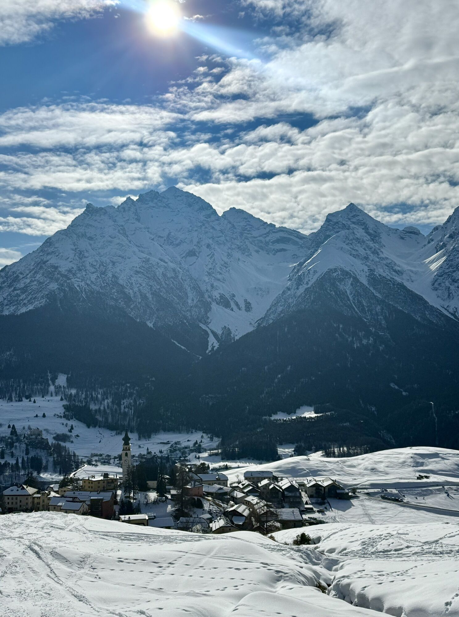
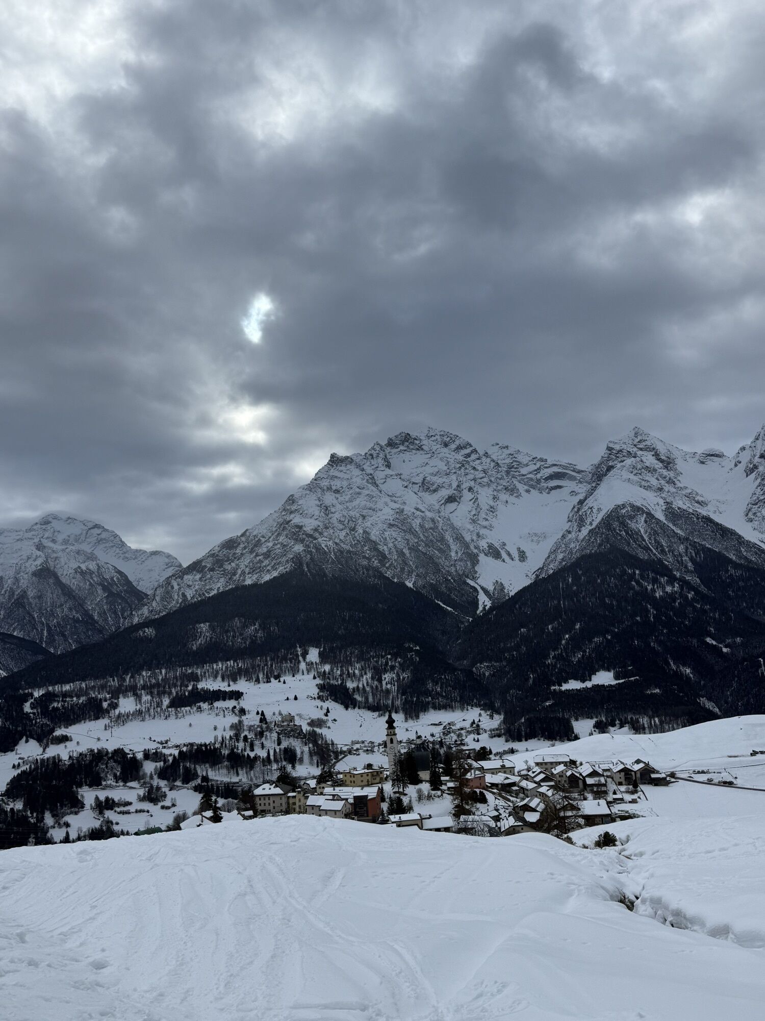
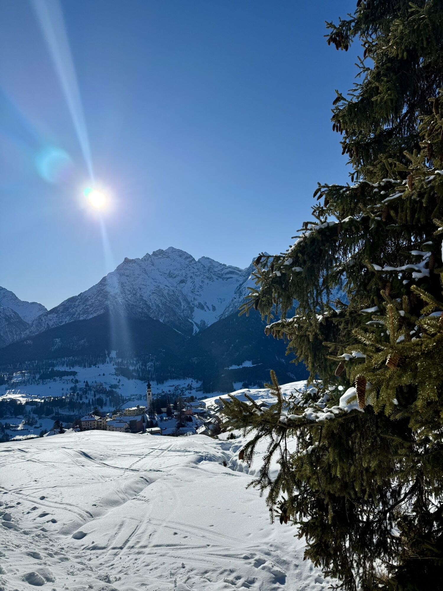
From Chamonna Tuoi, the alpine hiking trail leads eastwards through the wide basin on the southern edge of the Silvretta group to the Pass da Furcletta (2732m). The hike over Furcletta is mostly pathless and challenging in the upper section, on scree. Good surefootedness and orientation in the terrain are required. From this crossing, you have views into Val d’Urezzas and Val Tasna. The descent is initially very steep but gets gradually flatter as you proceed further into Val Tasna. The trail continues via Alp Laret to Ftan. At the valley exit towards Ftan, there is a panorama of the Lower Engadine Dolomites. The route ends in the next terrace village, Ftan.

Start at Chamonna Tuoi towards Rurcletta
Cross the pass and go to Marangun d'Urezzas
Descent to Plan d'Agl and Alp Valmala
Continue to Plan da la Gonda and Chandchè to Ftan
Good footwear, rain and sun protection, water bottle, first aid kit.
The route was evaluated in favorable weather conditions; current weather and forecasts must be checked before starting the route. This hike requires elementary alpine experience, orientation skills; hiking boots are recommended.
Emergency numbers:
144 Emergency, first aid
1414 Mountain rescue REGA
112 International emergency number
The route starts at Chamonna Tuoi. The starting point is only accessible on foot.
The route starts at Chamonna Tuoi. The starting point is only accessible on foot.
The route starts at Chamonna Tuoi. The starting point is only accessible on foot.
Popularne wycieczki w okolicy
-
4,8
Hiking trail Piz Buin - view
średniWędrówka 14,4 km -
5,0
Menta Alm - Scheibenalm
światłoWędrówka 11,4 km -
2,8
Bielerhöhe and circular hike around the Silvretta reservoir
średniWędrówka 13,1 km -
4,7
Jamtal lodge
średniWędrówka 19,6 km -
5,0
Großer Piz Buin (3.312m), Normalweg 2019 über Ochsentaler Gletscher
ciężkiWycieczka wysokogórska 24,1 km -
4,8
National park: Zernez – Munt Baselgia – Macun lakes – Alp Zeznina – Lavin
ciężkiWędrówka 22,9 km -
2,0
Bielerhöhe - Vermuntkopf - Bielerhöhe
średniWędrówka 17 km -
4,5
Tarasp Fontana – Sparsels – Lai Nair (circular route)
światłoWędrówka 7,67 km -
4,5
Ski tour Hennekopf (2,704 m)
średniWycieczka narciarska 4,17 km -
5,0
Silvretta Stausee
światłoWędrówka 6,22 km
Wędrówki i tropienie


Nie przegap ofert i inspiracji na następne wakacje
Twój adres e-mail została dodana do listy mailingowej.