


Circular hike Giraniga - Huot - Giraniga
Poziom trudności: T2
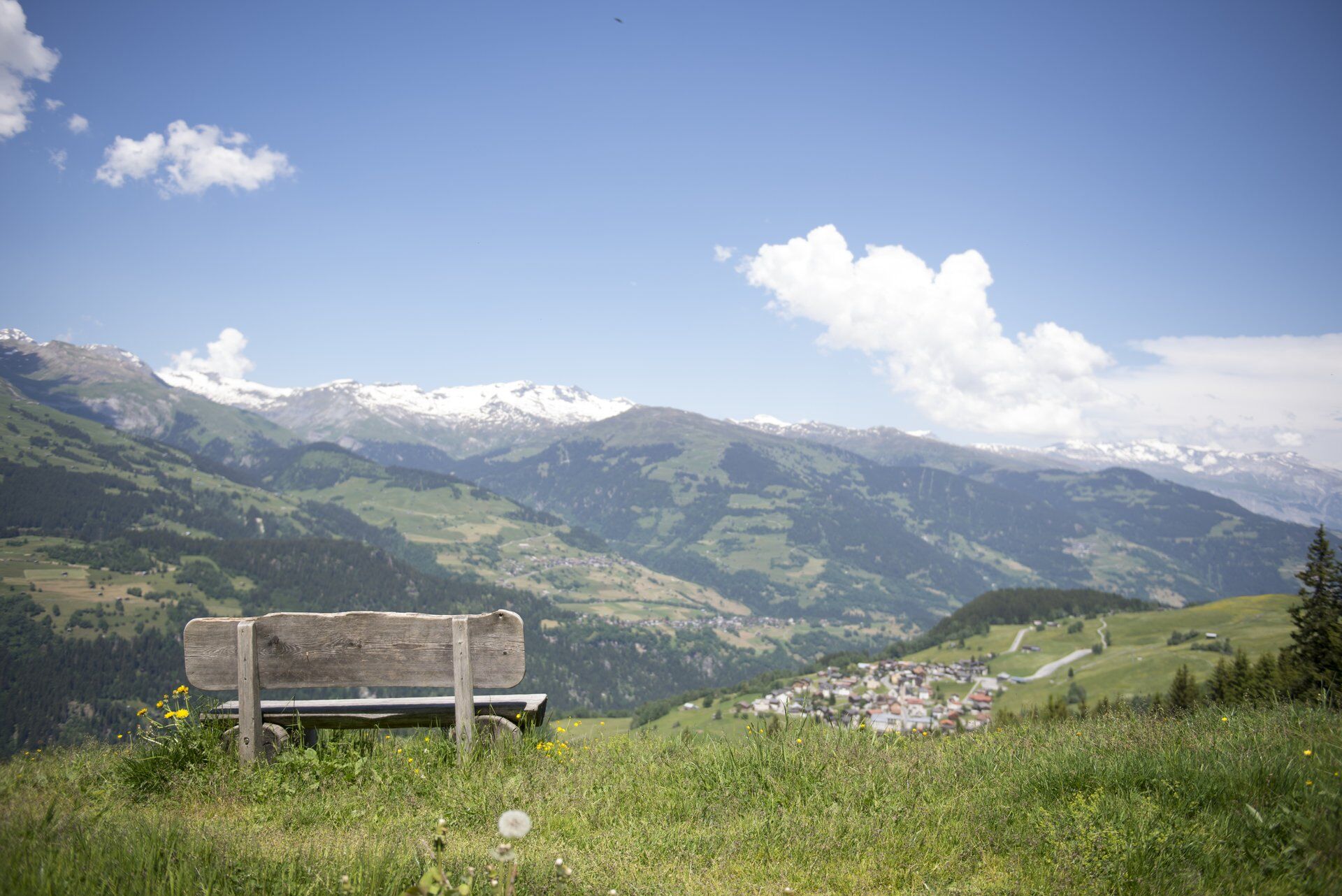
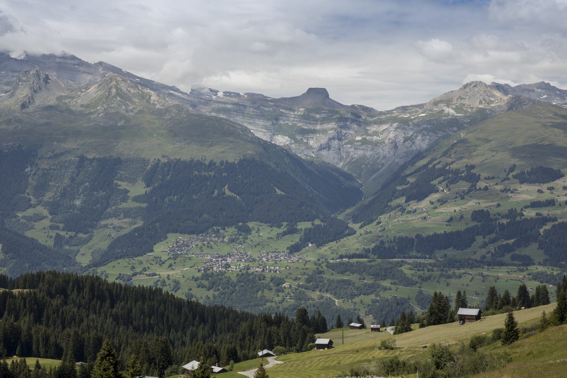
The ascent at the start of the route is richly rewarded. At the height of Huot, the view extends over the vast Surselva. In former times, people stayed "at the Huot" to detect enemies or fire early. Today...
The ascent at the start of the route is richly rewarded. At the height of Huot, the view extends over the vast Surselva. In former times, people stayed "at the Huot" to detect enemies or fire early. Today it is a peaceful viewpoint and well worth a long rest.
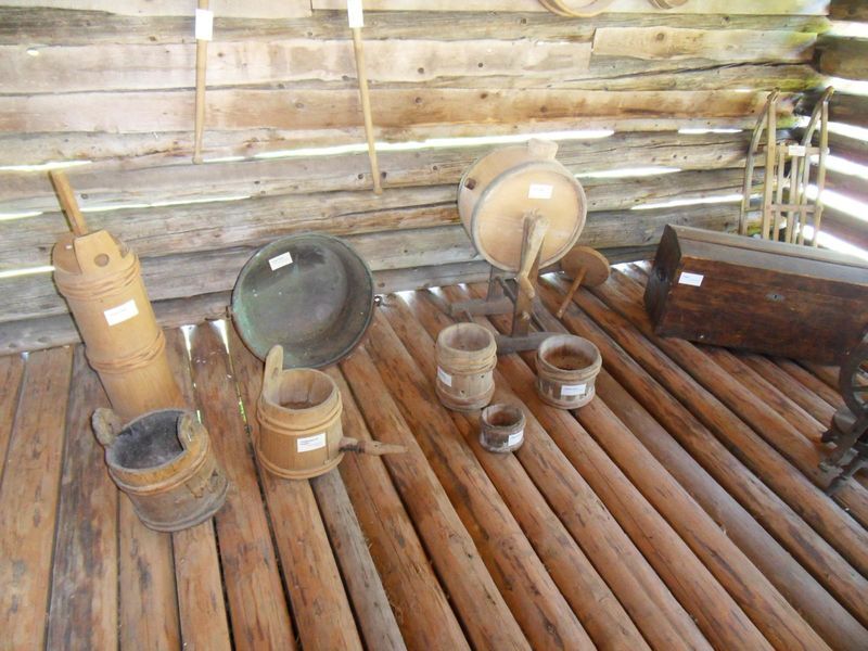
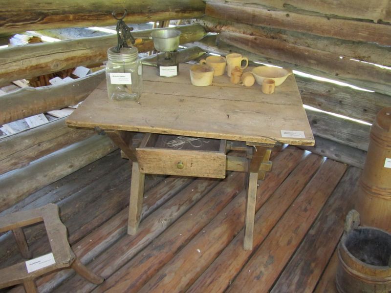
The hike continues past the Walserstall. This stall houses an interesting collection of various objects and tools from local agriculture of past times.
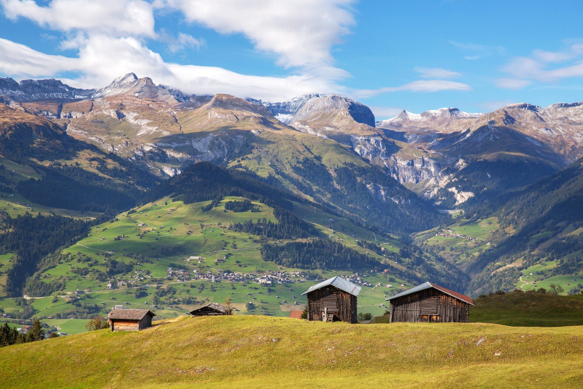
The route runs over well-developed hiking trails or enjoyable side roads and is therefore easy to walk. However, a few altitude meters still have to be mastered.


Giraniga - Huot - Zarzana - Tobel - Tusa - Giraniga
Tak
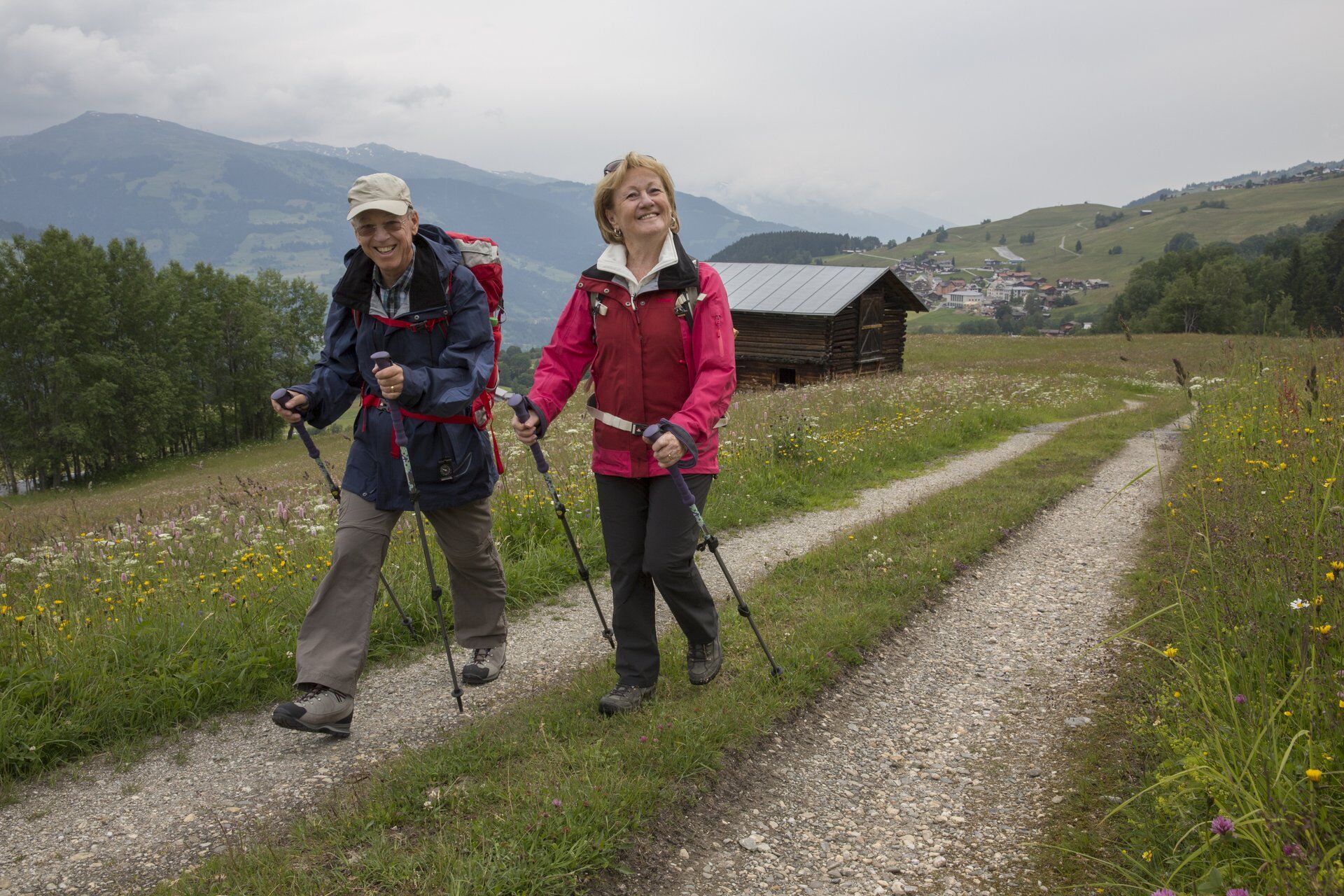
Good hiking boots with a good tread, weather-appropriate clothing (rain jacket), possibly change of clothes, first aid kit, drink, food, possibly hiking poles
The route should not be started in uncertain weather conditions. Weather changes are common in the mountains. If a rain front or something similar approaches during the hike, you should turn back in good time.
From Ilanz through Obersaxen Meierhof and onwards to Giraniga. Or from Tavanasa via Axastein to Giraniga.
By post bus from Ilanz to Obersaxen, Giraniga
A limited number of parking spaces are available in Giraniga.
T2
This route can often still be undertaken in late autumn or in spring.
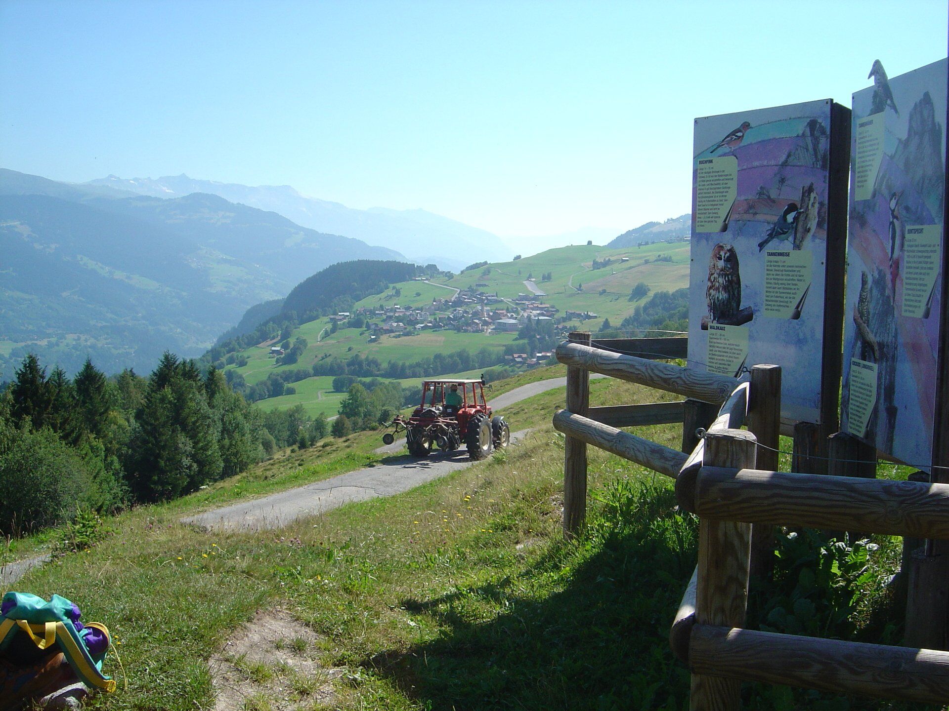
Besides the view of the scenic landscape, it is also worth taking a look into the past. Visit the Walserstall and discover the agriculture of bygone times.
Behind Huot, there is an old lime kiln by the wayside. It is open for viewing.
Popularne wycieczki w okolicy
-
4,8
Rheinschlucht: From Ilanz to Versam into the heart of the Rheinschlucht
średniWędrówka 11,4 km -
5,0
High valley Val Frisal
ciężkiWędrówka 12,4 km -
4,3
Circular hike: Falera-Curnius-Alp Dadens-Falera
średniWędrówka 11,4 km -
5,0
Kalktrittli - Nüschentäli - Muttsee - Obersee - Muttenchopf - Mörtel - Limmerensee - Kalktrittli (durch Stollen)
średniWędrówka 14,8 km -
5,0
Hiking route Suspension Bridge Val da Tersnaus
średniWędrówka 3,24 km -
4,7
Dutjer Alp - magnificent view
średniWędrówka 8,23 km -
Panoramic route between Piz Mundaun and Péz Sezner
średniWędrówka 6,75 km -
5,0
2-day hike Greina high plateau
średniWędrówka 14,9 km -
5,0
Hike Vrin - Uors over the suspension bridge Val da Silgin
średniWędrówka 12,3 km -
4,0
Falera - Laax - Falera
światłoWędrówka 7,35 km

Wędrówki i tropienie


Nie przegap ofert i inspiracji na następne wakacje
Twój adres e-mail została dodana do listy mailingowej.