


Silvretta Historica – herdsmen's route
Zdjęcia naszych użytkowników

From the mountain station of the chairlift, the path leads below the mountain restaurant Prui westwards. The first 150 meters of altitude are overcome through a light forest.
Then it ascends gently, offering...
From the mountain station of the chairlift, the path leads below the mountain restaurant Prui westwards. The first 150 meters of altitude are overcome through a light forest.
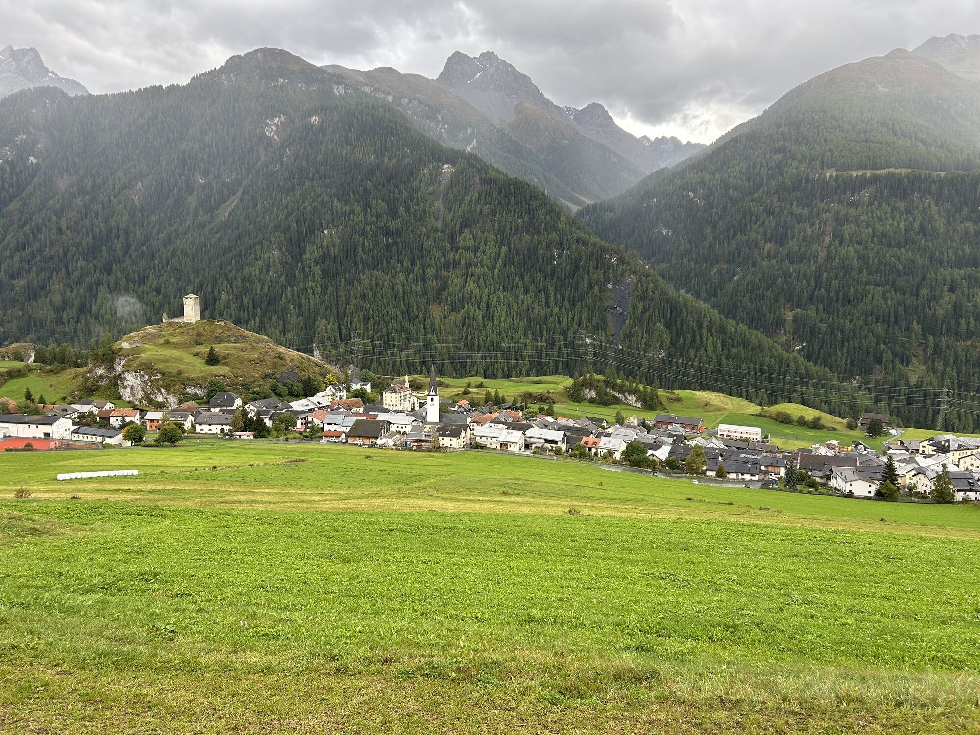
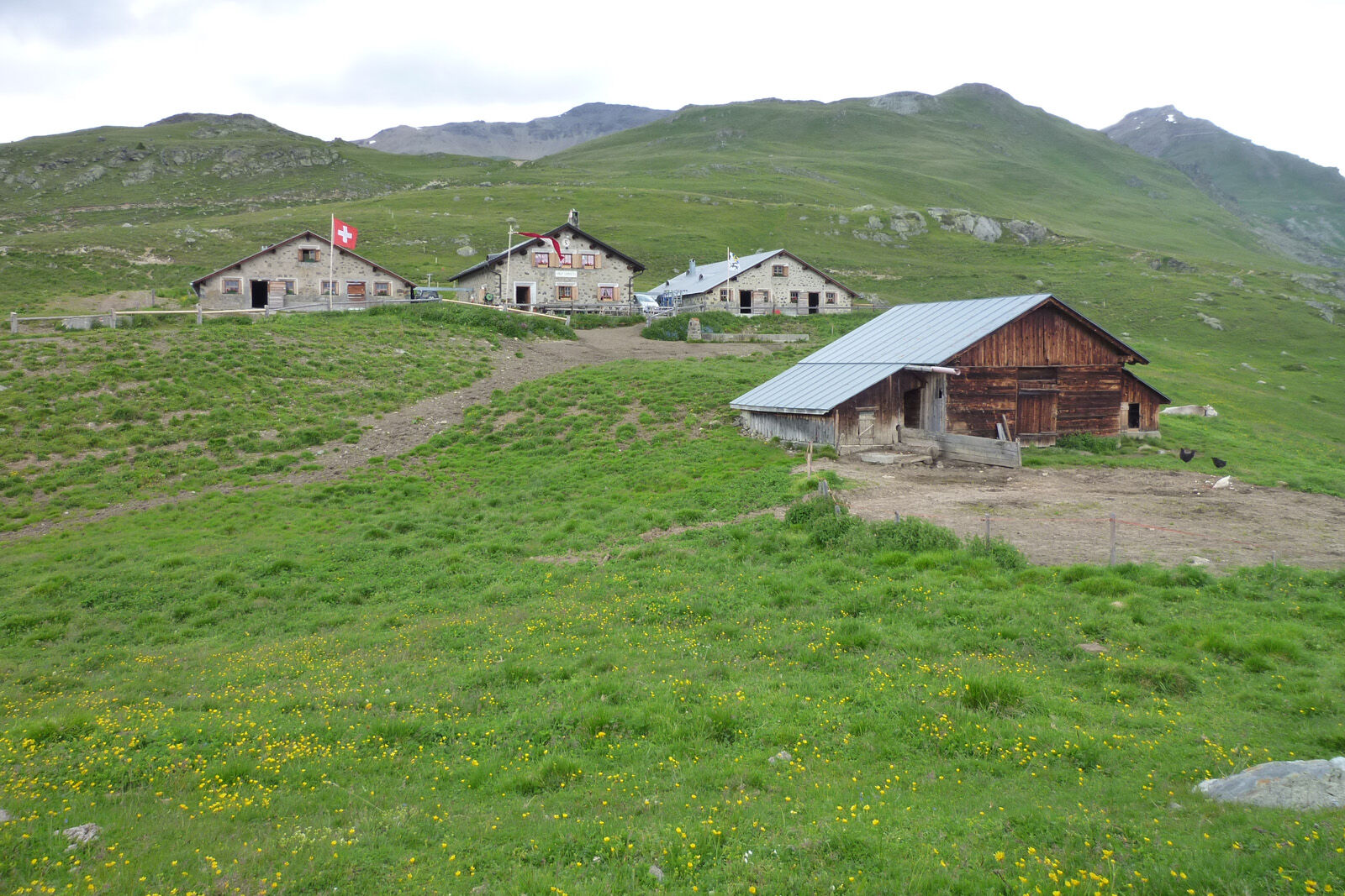
Then it ascends gently, offering views with the mighty Lower Engadin Dolomites in sight to Alp Laret. The scenic Alp Laret is only staffed during the summer grazing season. Just behind Alp Laret begins the descent into Val Tasna. Soon you can see the roofs of Alp Valmala on the opposite side of the valley.
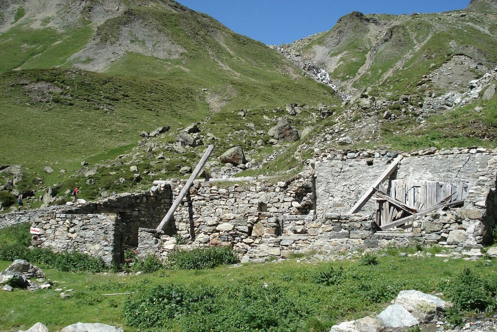
Before crossing the Tasnan, a detour to Alp Urezzas is recommended, especially for those interested in history. At Plan d’Agl, you finally cross the Tasnan, from now on you are on Ardez territory. In a northwestern direction, the Val d’Urschai leads to the Futschöl Pass, the border crossing into neighboring Montafon.
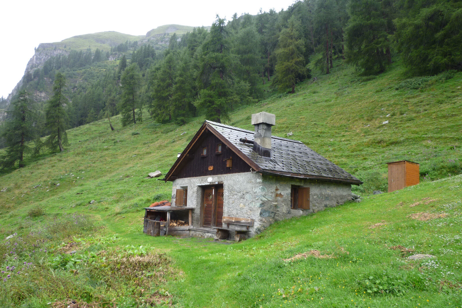
At the entrance to this valley, where large boulders can be seen, there are sites showing that this crossing was already used by hunters over 10,000 years ago. Further towards Alp Urezzas at Plan d’Agl, you can still see the outlines of an old cattle enclosure that stood there over 2,500 years ago. The Urezzas alp hut is somewhat younger, built in 1832 and continuously expanded over the past century. The path then leads steadily downhill past Alp Valmala. In the summer months, you can buy goat cheese or a small refreshment here.
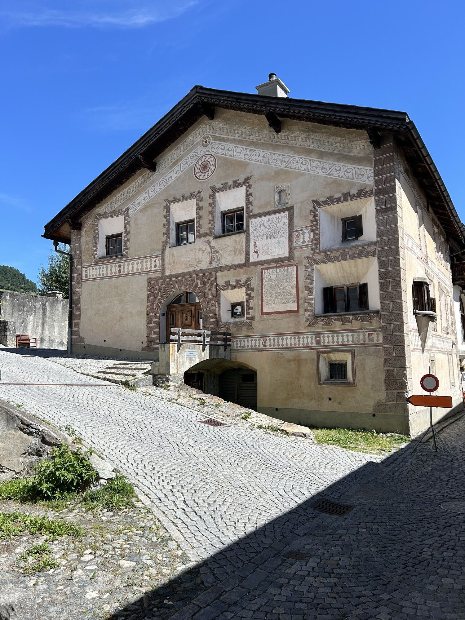
The further path runs along the Tasnan, whose water is now also used for power generation, gently down to Ardez.


From the mountain station of the Ftan-Prui chairlift below the mountain restaurant westwards
Further gently ascending to Alp Laret
Behind Alp Laret into Val Tasna up to Alp Valmala
Cross the Tasnan at Plan d'Agl
In a northwestern direction, the Val d'Urschai leads to the Futschöl Pass
Further towards Alp Urezzas
From the Urezzas alpine hut downhill to Alp Valmala
Along the Tasnan down to Ardez
Tak
Good footwear, rain and sun protection, drinking bottle, first aid kit
The route was evaluated under favorable weather conditions; current weather and forecasts must be strictly observed before starting. This hike requires basic alpine experience and orientation skills. Trekking shoes are recommended.
Emergency numbers:
144 Emergency call, First aid
1414 Mountain rescue REGA
112 International emergency call
Ftan can be reached from the Engadin road H27 from Ardez or the western end of the village of Scuol in 10 minutes by car (25 minutes travel time from Vereina south portal)
By the Rhaetian Railway (from Chur, Prättigau, or Upper Engadin) or by PostBus (from Martina, Sent, or Tarasp) hourly to Scuol-Tarasp station.
Direct hourly PostBus connection from Scuol-Tarasp to the PostBus stop Ftan, cumün
Parking spaces at the valley station of the Ftan chairlift
For further information, visit www.silvretta-historica.ch
Popularne wycieczki w okolicy
-
4,8
Hiking trail Piz Buin - view
średniWędrówka 14,4 km -
2,8
Bielerhöhe and circular hike around the Silvretta reservoir
średniWędrówka 13,1 km -
4,7
Jamtal lodge
średniWędrówka 19,6 km -
5,0
Großer Piz Buin (3.312m), Normalweg 2019 über Ochsentaler Gletscher
ciężkiWycieczka wysokogórska 24,1 km -
2,0
Bielerhöhe - Vermuntkopf - Bielerhöhe
średniWędrówka 17 km -
4,5
Tarasp Fontana – Sparsels – Lai Nair (circular route)
światłoWędrówka 7,67 km -
4,5
Ski tour Hennekopf (2,704 m)
średniWycieczka narciarska 4,17 km -
5,0
Silvretta Stausee
światłoWędrówka 6,22 km -
Ascent of Hohes Rad and stop at the Wiesbadener Hut
ciężkiWędrówka 15,8 km -
4,6
Gaschurn, Wiesbadner Hütte
Mountainbike 6,82 km

Wędrówki i tropienie


Nie przegap ofert i inspiracji na następne wakacje
Twój adres e-mail została dodana do listy mailingowej.