







From Lenzerheide to the Arosa Bear Sanctuary - for families

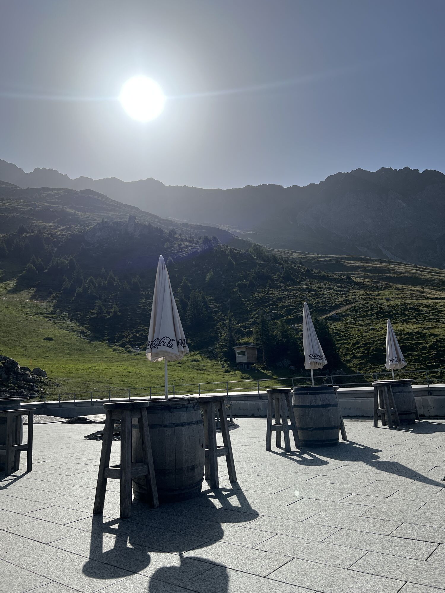
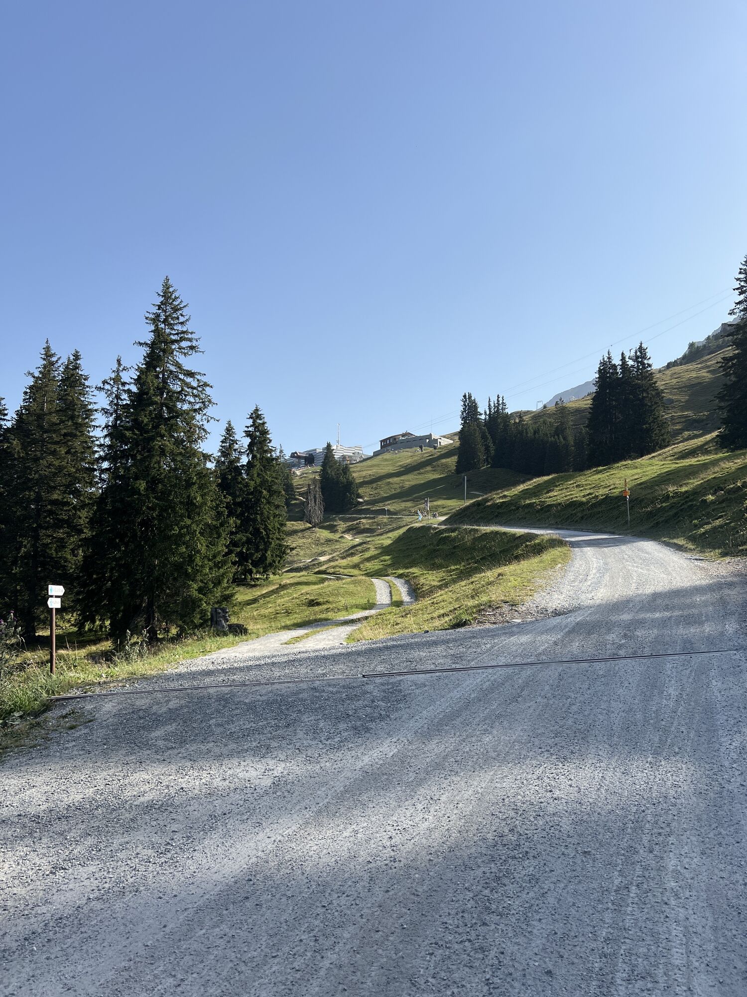
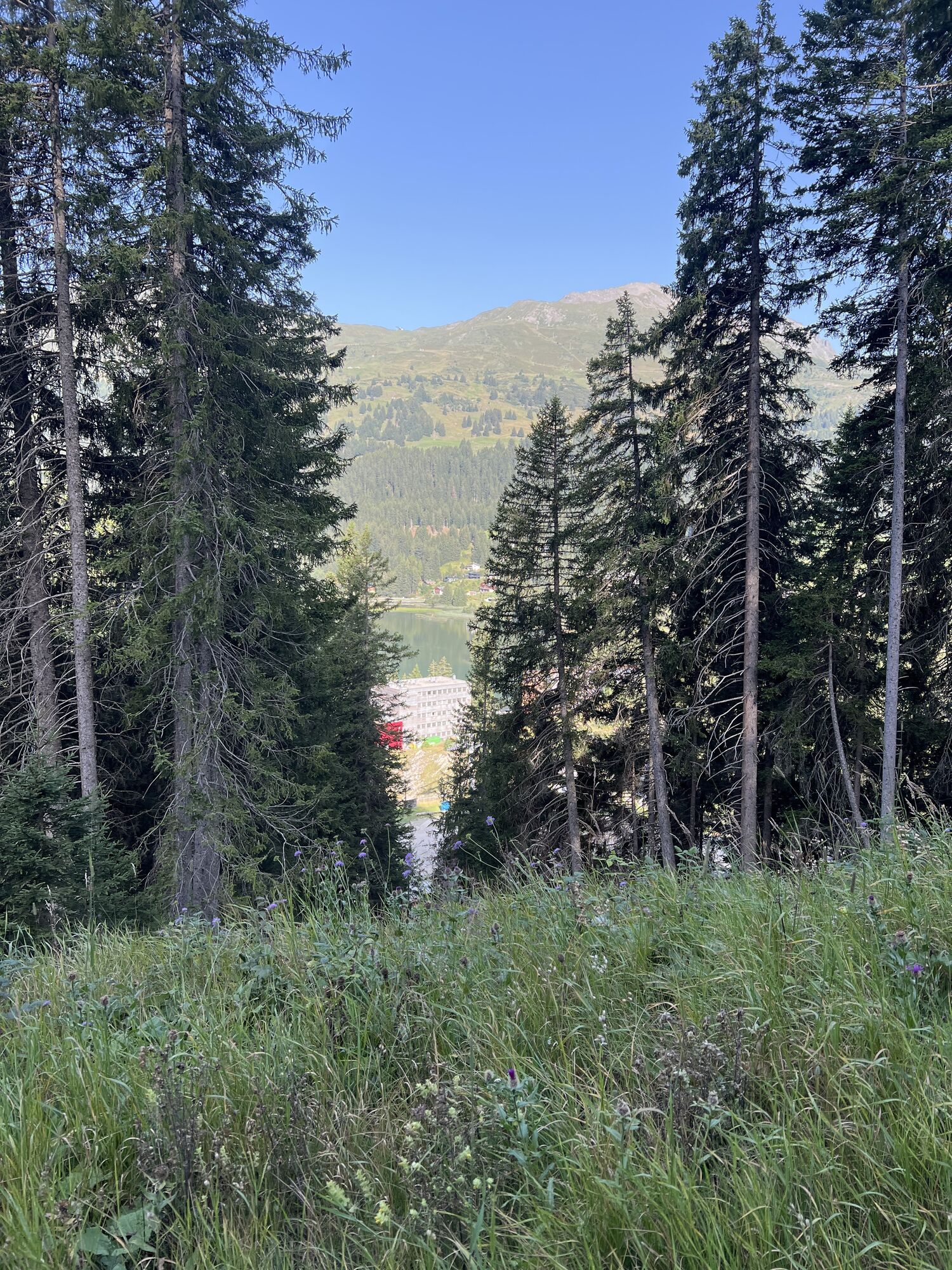
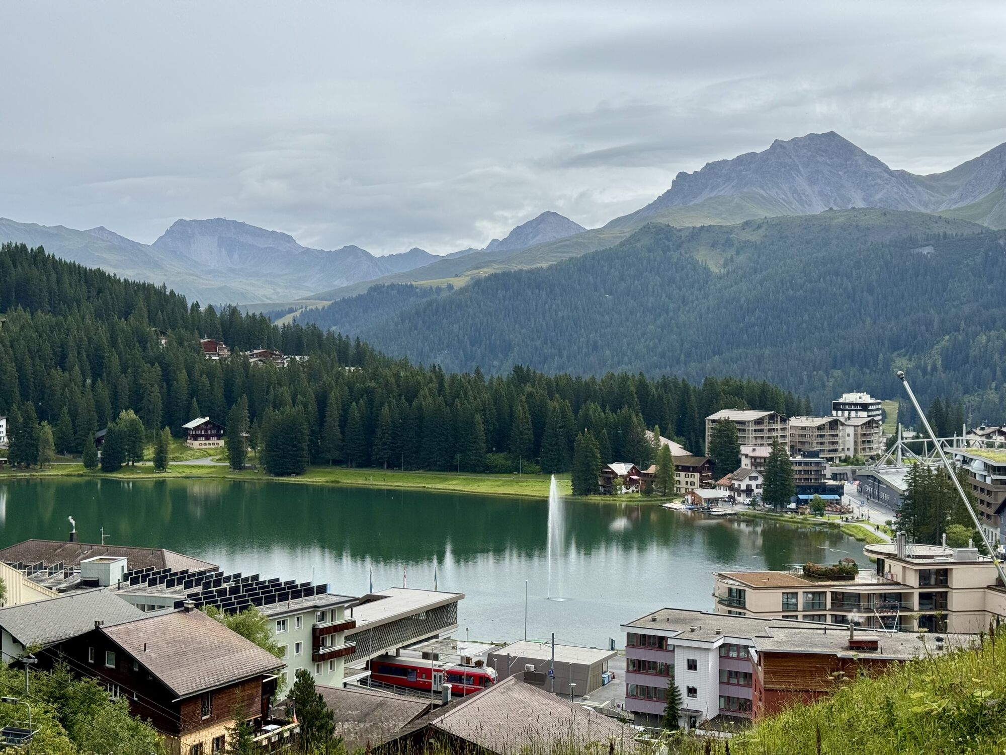
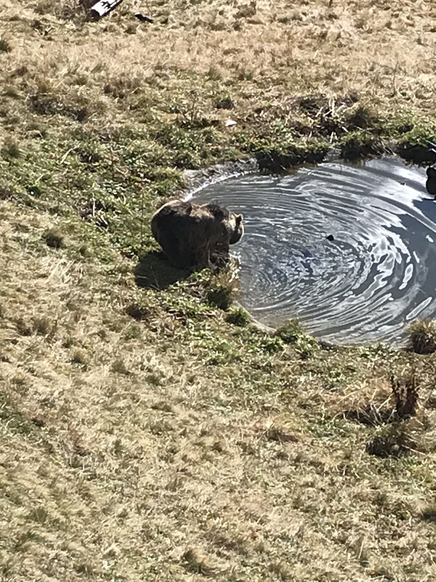
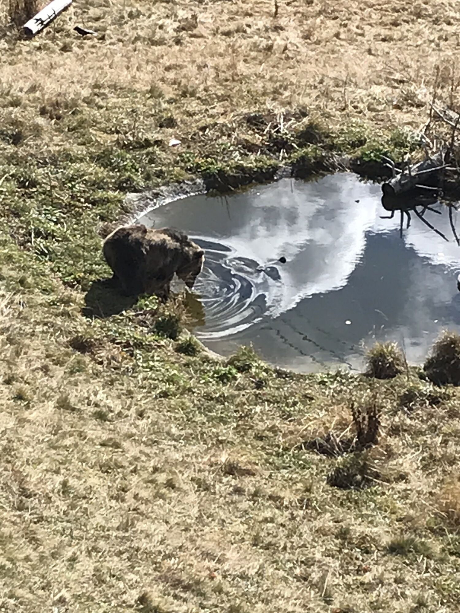
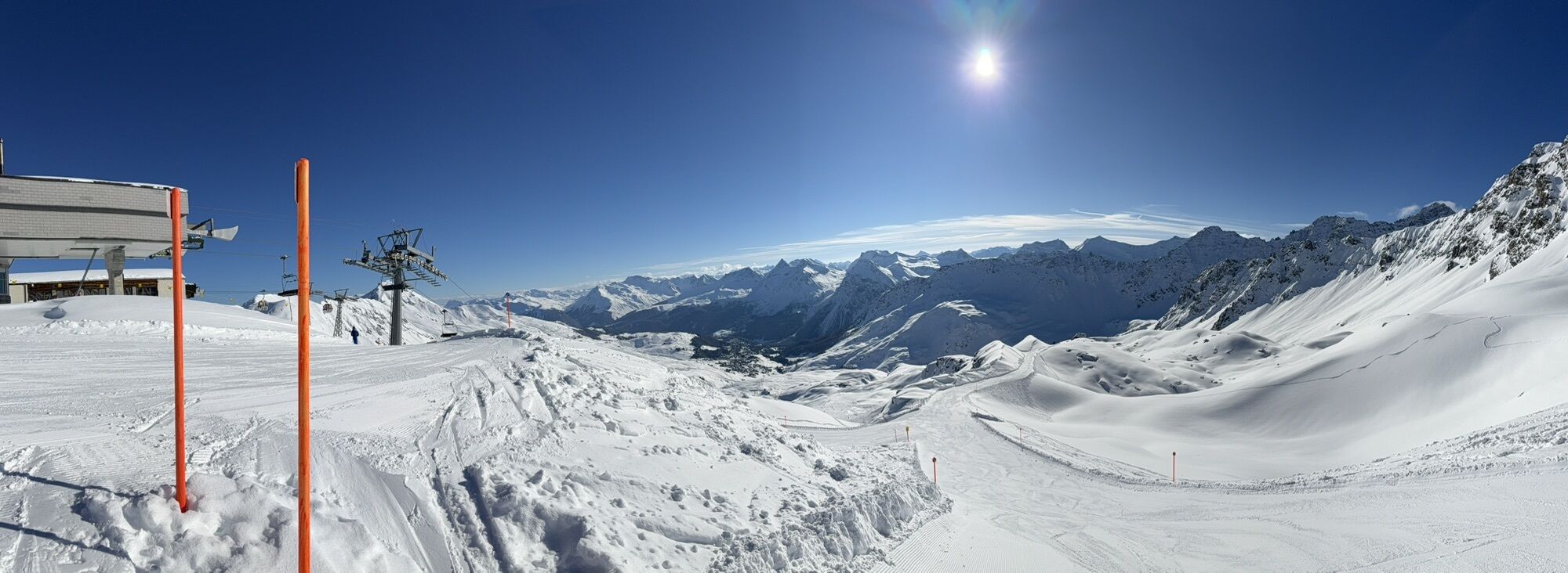
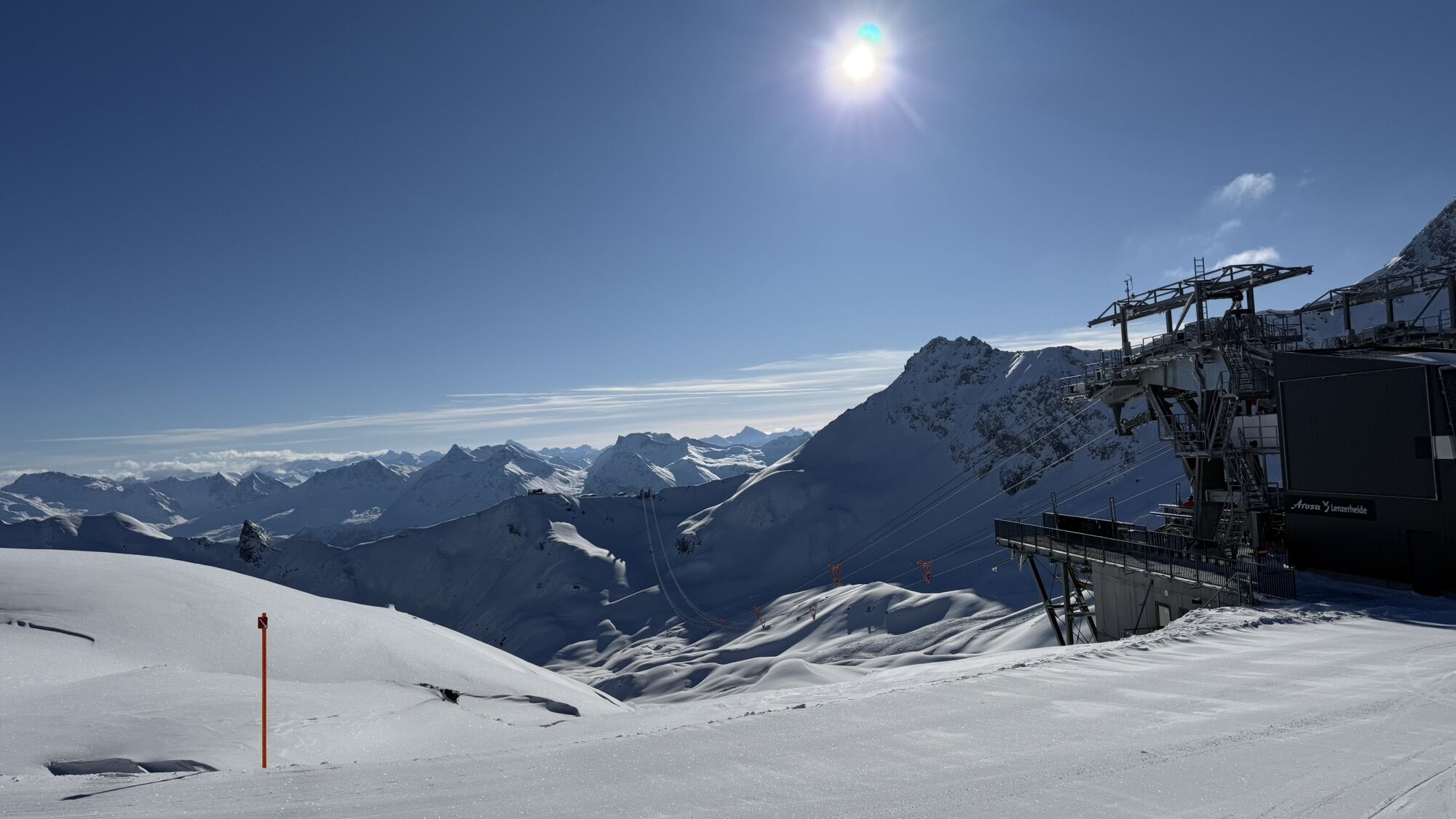
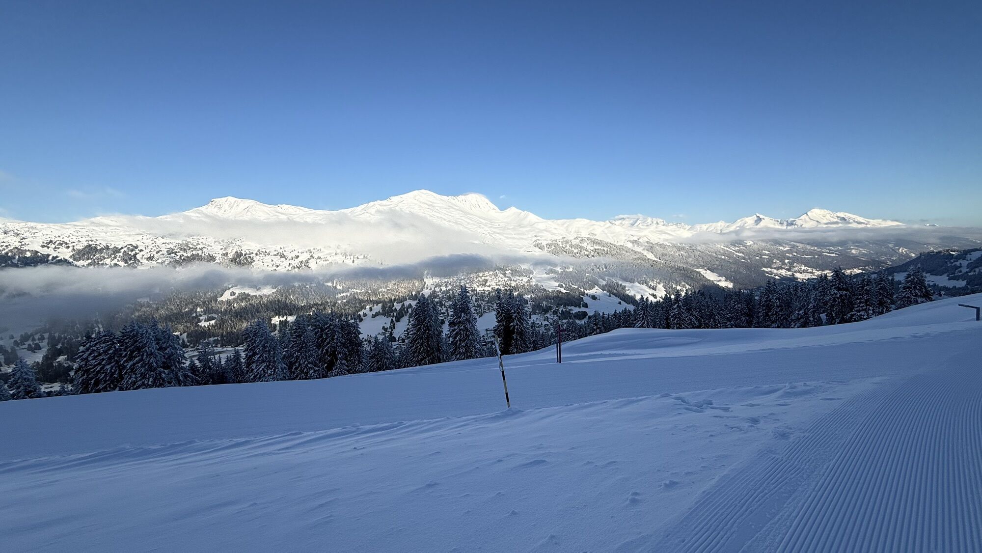
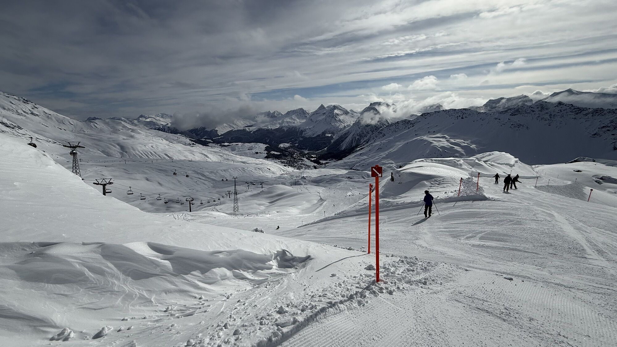
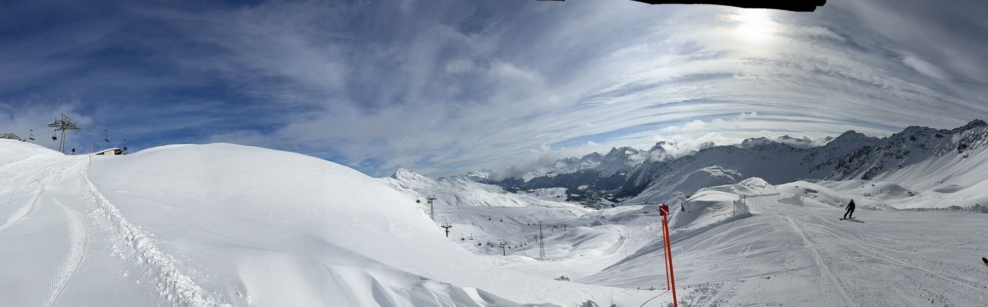
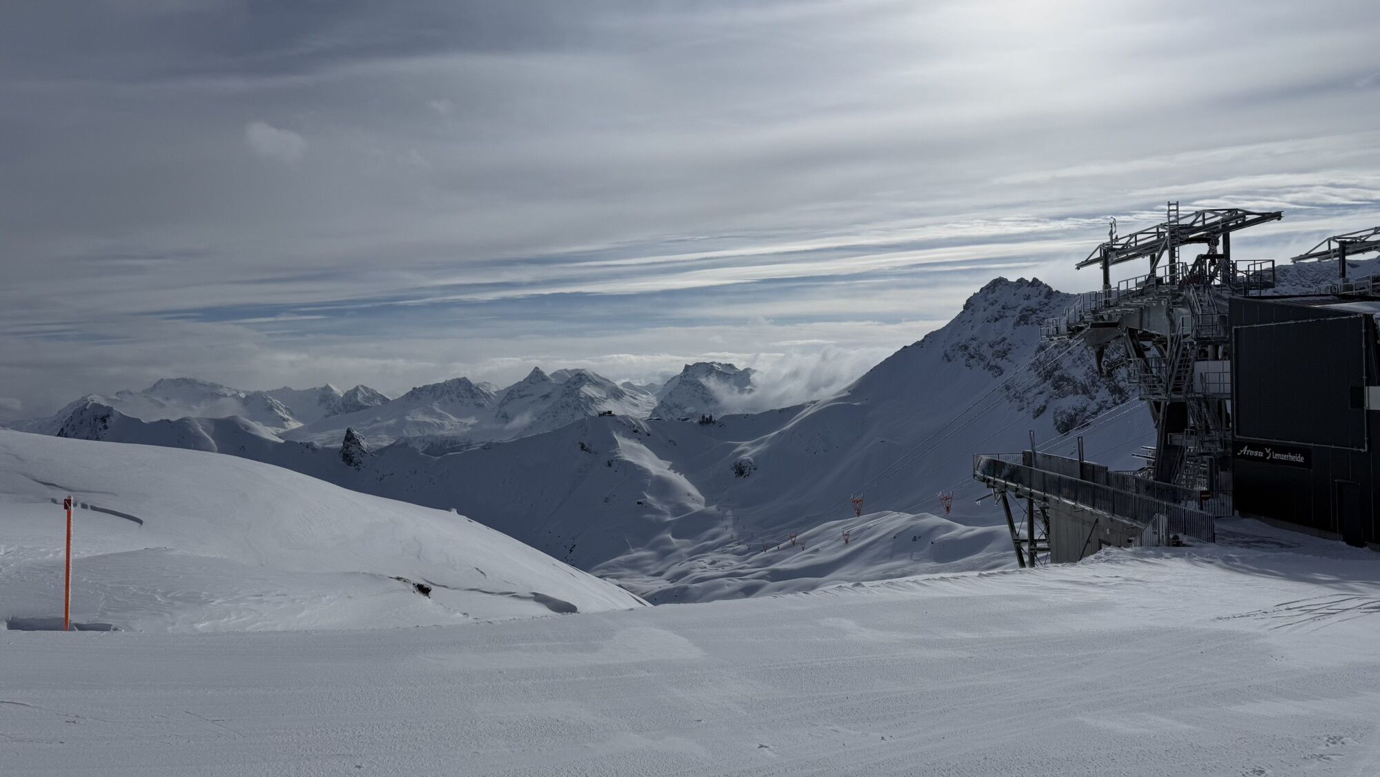
The Arosa Bear Sanctuary is an experience for young and old. The Arosa Bear Sanctuary provides bears rescued from poor living conditions with a species-appropriate home. Bears that previously had to live...
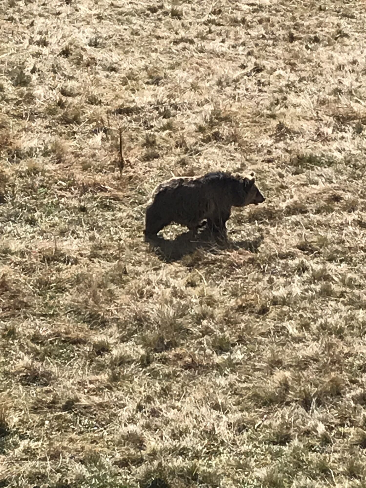
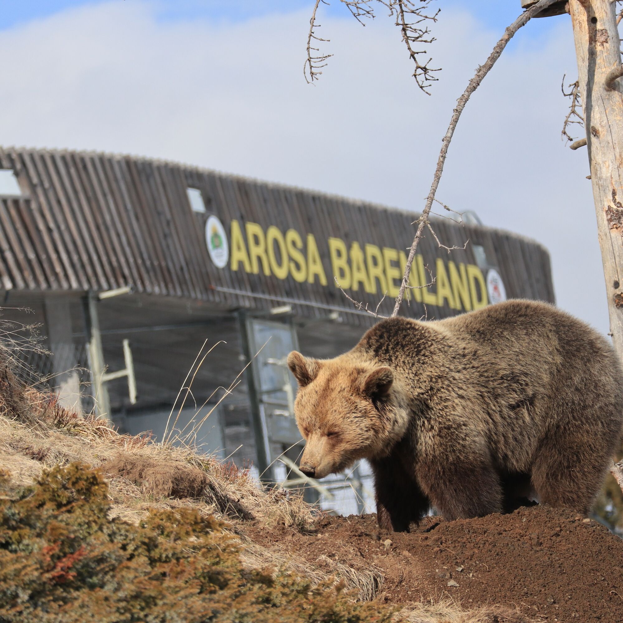
The Arosa Bear Sanctuary is an experience for young and old. The Arosa Bear Sanctuary provides bears rescued from poor living conditions with a species-appropriate home. Bears that previously had to live chained up in a tiny, dirty cage are freed from this predicament by FOUR PAWS and brought to Arosa.
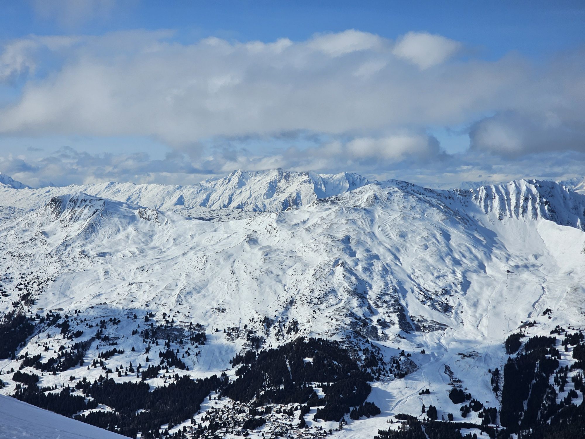
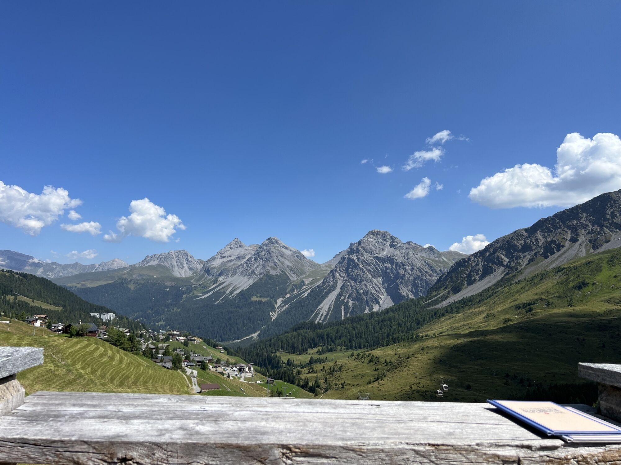
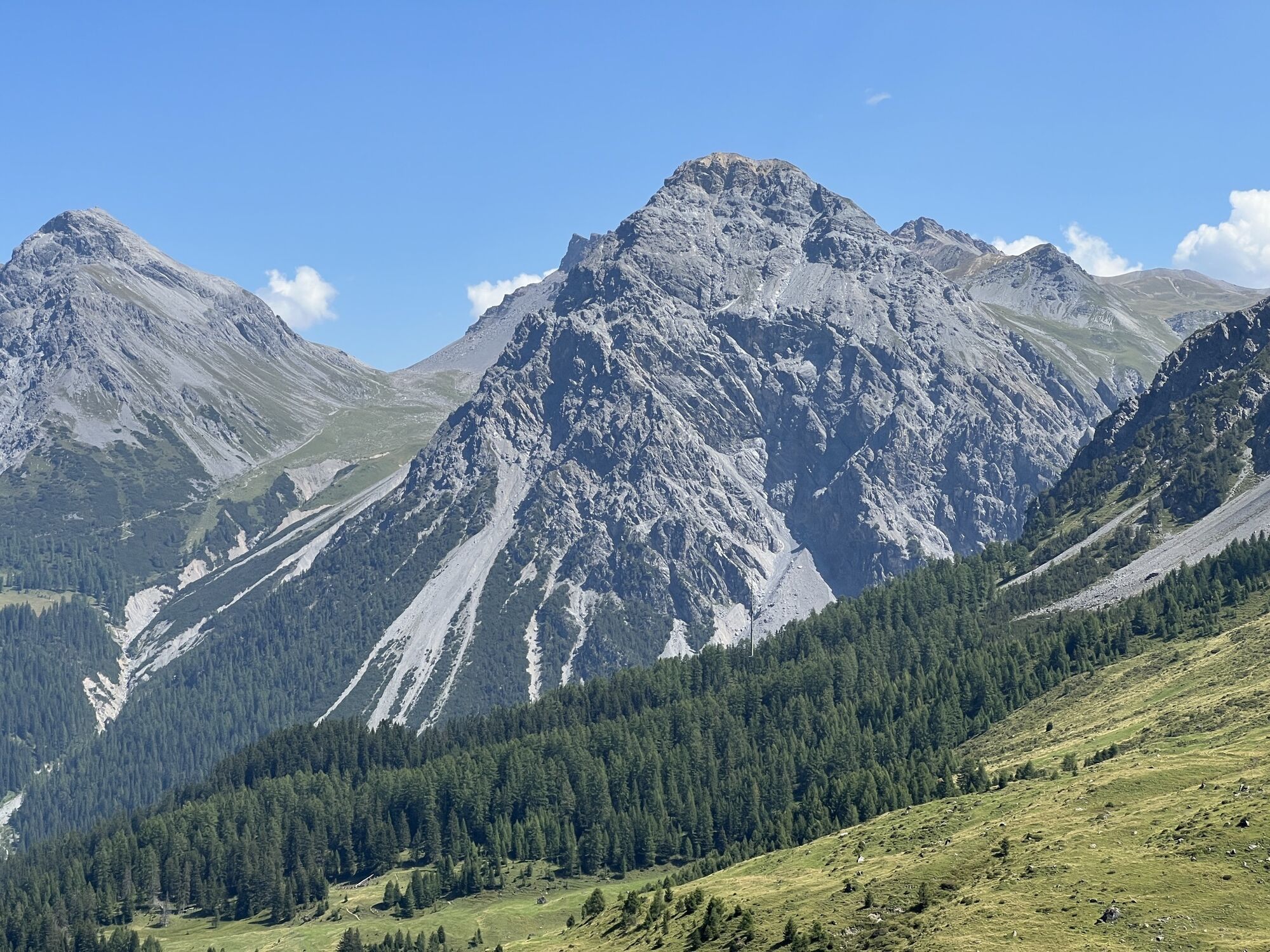
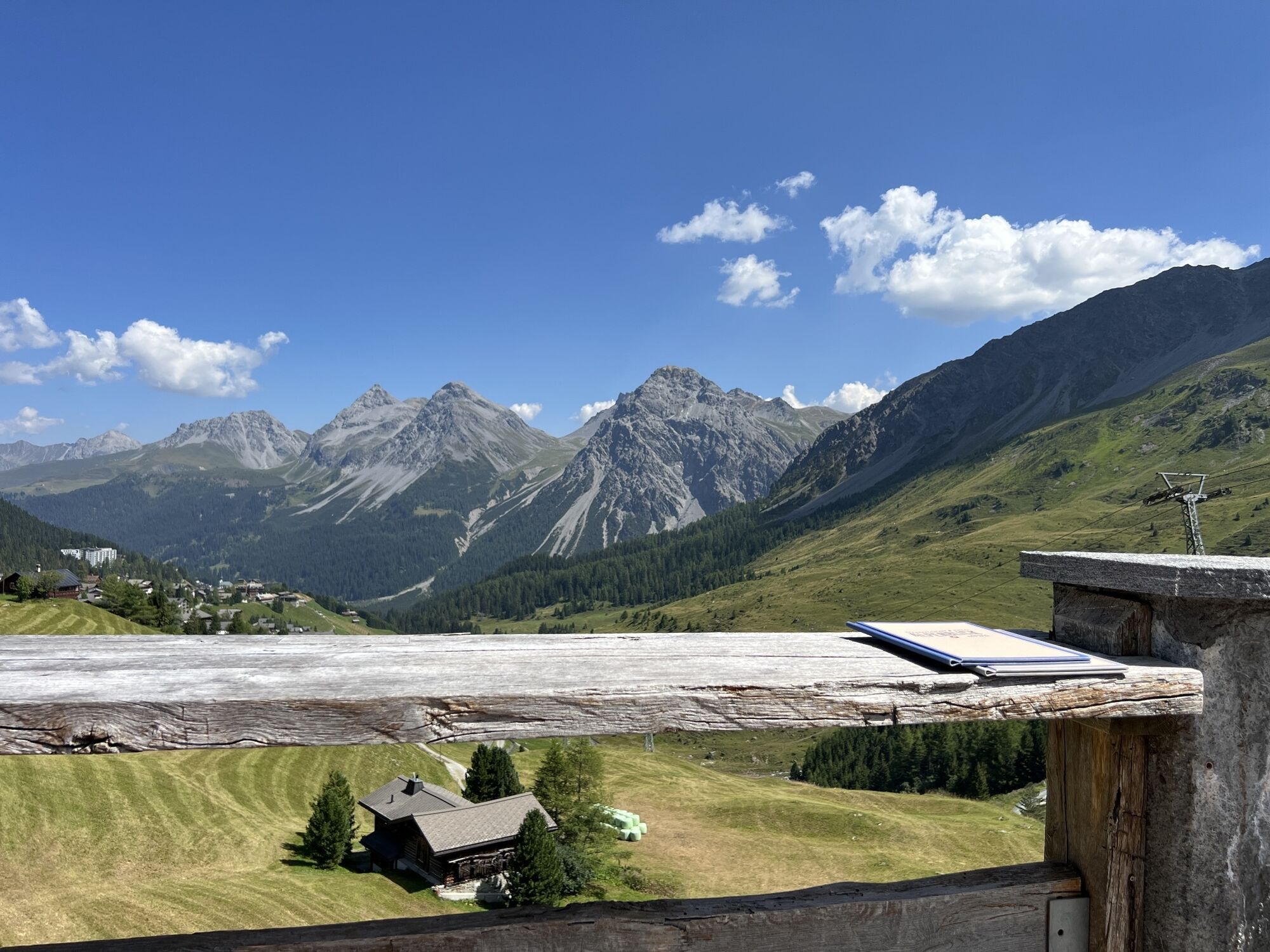
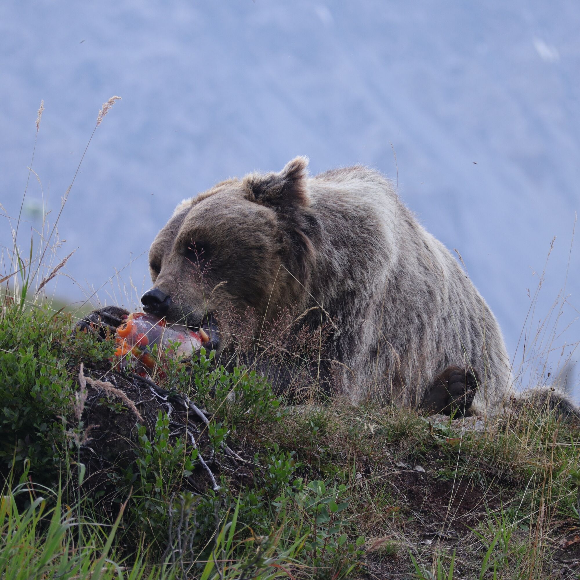
Amid the natural mountain landscape with meadows, bushes, rocks, streams, and forest, the bears can learn their natural behaviors. Visitors can watch them do so.
The journey from Lenzerheide to the Arosa Bear Sanctuary is shortened by the use of numerous gondolas and chair lifts, making it easily manageable for families.

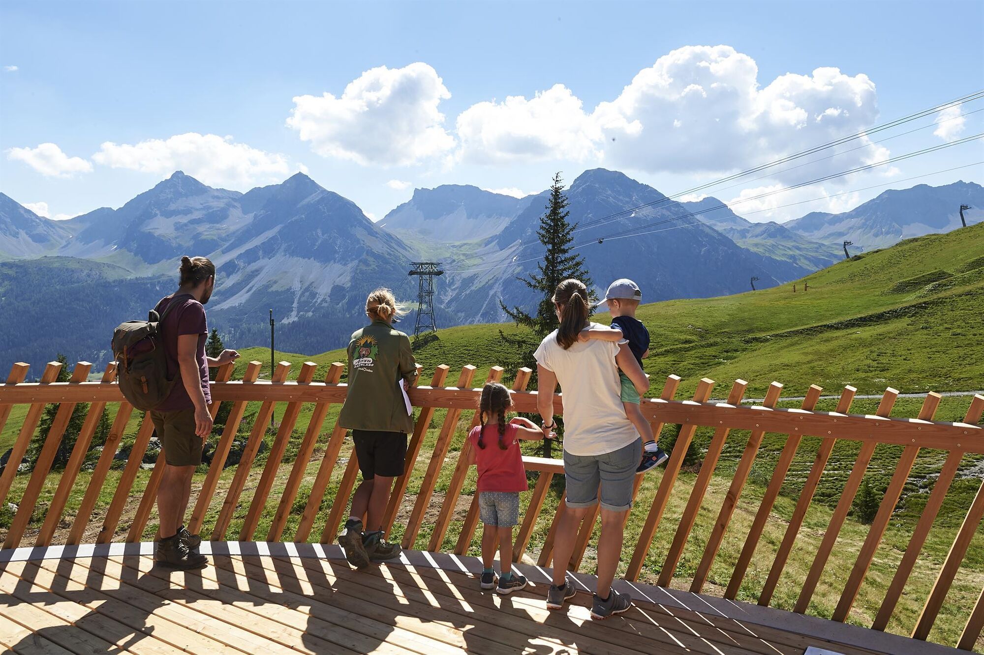
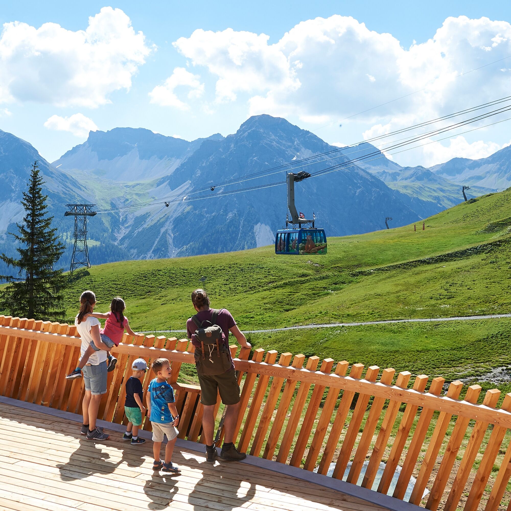

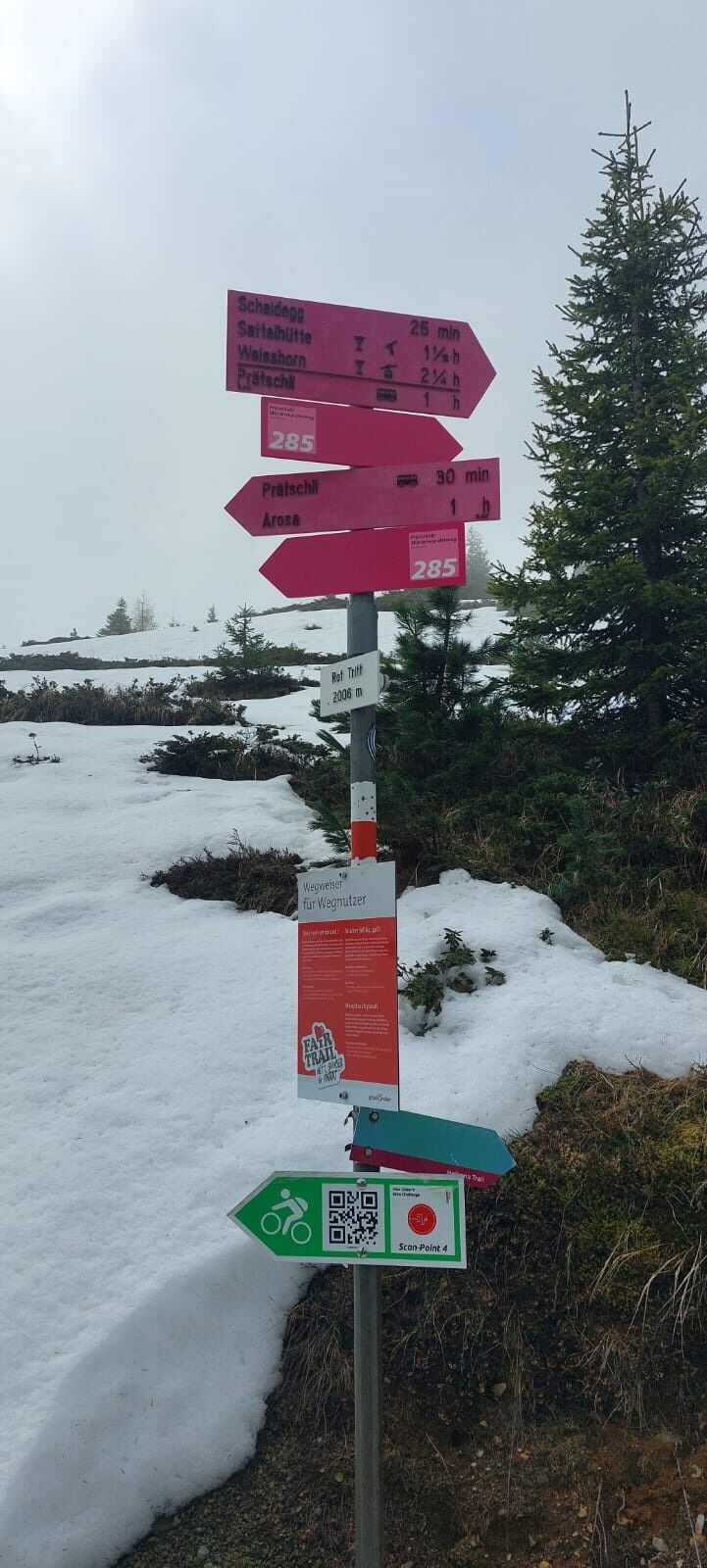
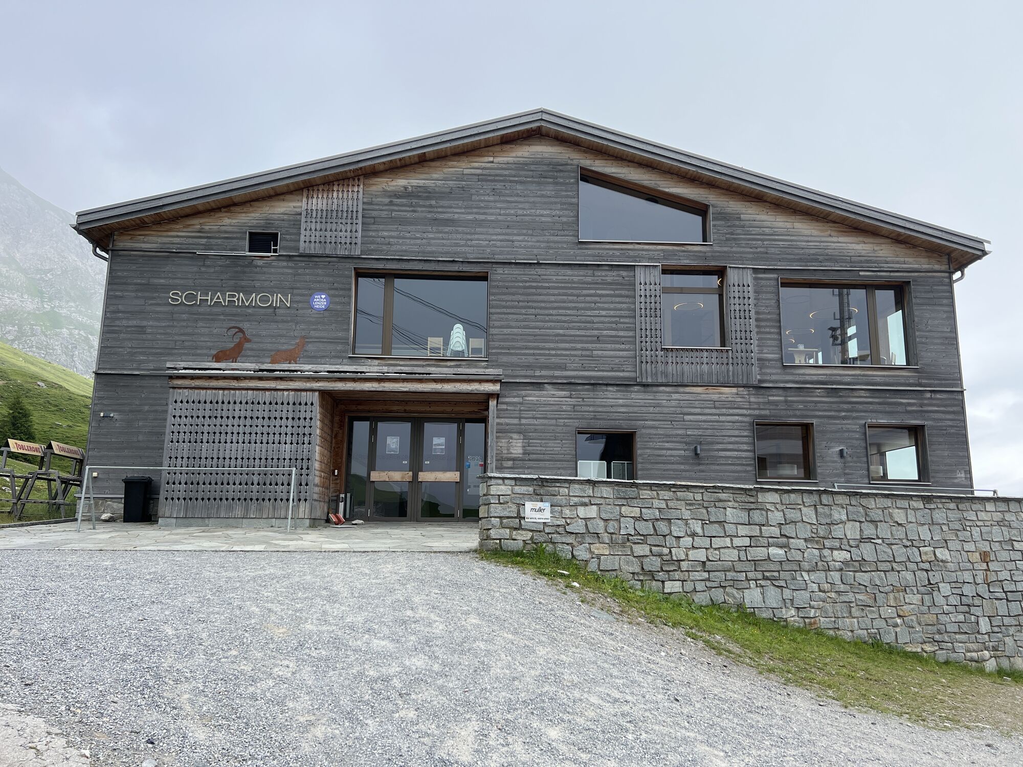
Starting in Lenzerheide at the Rothornbahn. From there, take Rothorn 1 up to the middle station Scharmoin. Then follows a fairly flat fifteen-minute walk to the valley station of the Weisshornspeed chairlift, which now also carries guests in summer. After arriving at the mountain station, a second short hike leads to Urdenfürggli where the next lift is already waiting: the Urdenbahn. With the Urdenbahn, you quickly reach Hörnli, from where the gondola Hörnli-Express heads to Innerarosa.
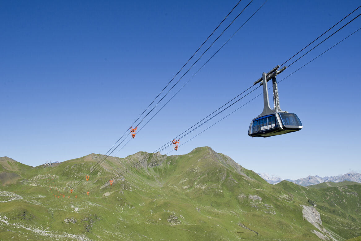
Now you can either walk through the village or conveniently take the local bus to the valley station of the Weisshornbahn. The last gondola ride follows. With the Arosa Weisshorn cable car, you get to the Arosa Bear Sanctuary. There is a great playground as well as a visitor platform.
Back to Arosa station either on foot or once again by gondola.
The return trip can be made in exactly the reverse direction or you can travel by RHB to Chur and from there by post bus back to Lenzerheide.
Tak
Tak
Tak
Hiking shoes
Mountain railway tickets
Weather-appropriate clothing
Via the main road from Chur to Lenzerheide.
By post bus to the Lenzerheide Rothornbahn stop.
Parking spaces are available at the Rothornbahn for CHF 8.00/day.
Take the return journey from Arosa to Lenzerheide with the Bearland special carriage of the RHB or make the return trip again with the mountain railways, noting the operating times.
Kamery internetowe z trasy
Arosa - Hörnli
Lenzerheide - Urdenfürggli
Lenzerheide - Parpaner Rothorn
Lenzerheide - Alp Stätz
Arosa - Tschuggen
Lenzerheide - Piz Scalottas
Lenzerheide - Talstation Rothorn
Arosa - Bärenland
Arosa - Weisshorn
Arosa - Dorf
Arosa - Alp Maran
Alp Maran - Golfhaus Arosa
Lenzerheide Dorf
Lenzerheide - Heimberg
Lenzerheide - Heidbüel
Wassersportzentrum Heidsee
Wassersportzentrum Heidsee
Uzyskaj wgląd Zawsze na żywo z ponad 9 500 kamer internetowych. bergfex Jako użytkownik Pro, możesz teraz zobaczyć odpowiednie kamery internetowe dla wielu wycieczek w aplikacji wycieczki od. Pozwala to na bezpośredni podgląd aktualnych warunków. Popularne wycieczki w okolicy
- 4,6
749 Val Meltger suspension bridge trail
średniWędrówka 8,30 km - 3,9
Arosa-Medergen-Tritt-Latschüelfurgga-Strelapass-Davos
średniWędrówka 22,5 km Arosa-Schwellisee-Älplisee-Parpaner Rothorn
Wędrówka 12,3 km- 4,7
Arosa-Hörnli-Parpaner Rothorn-Lenzerheide
Wędrówka 11,9 km - 3,5
Arosa-Maienfelder Furgga-Stafelalp-Davos
średniWędrówka 15,9 km - 5,0
Arosa-Hörnli-Urdenfürrgli-Alp Scharmoin-Lenzerheide
średniWędrówka 15,3 km - 5,0
Eichhörnliweg Arosa
światłoTrasa tematyczna 1,72 km Alp Sanaspans - Rothorn
ciężkiWędrówka 13,6 km- 5,0
4-Viaduct hike
średniWędrówka 13,6 km - 5,0
767 Alteinsee Schiesshorn
średniWędrówka 11,9 km
Wędrówki i tropienie


Nie przegap ofert i inspiracji na następne wakacje
Twój adres e-mail została dodana do listy mailingowej.





