






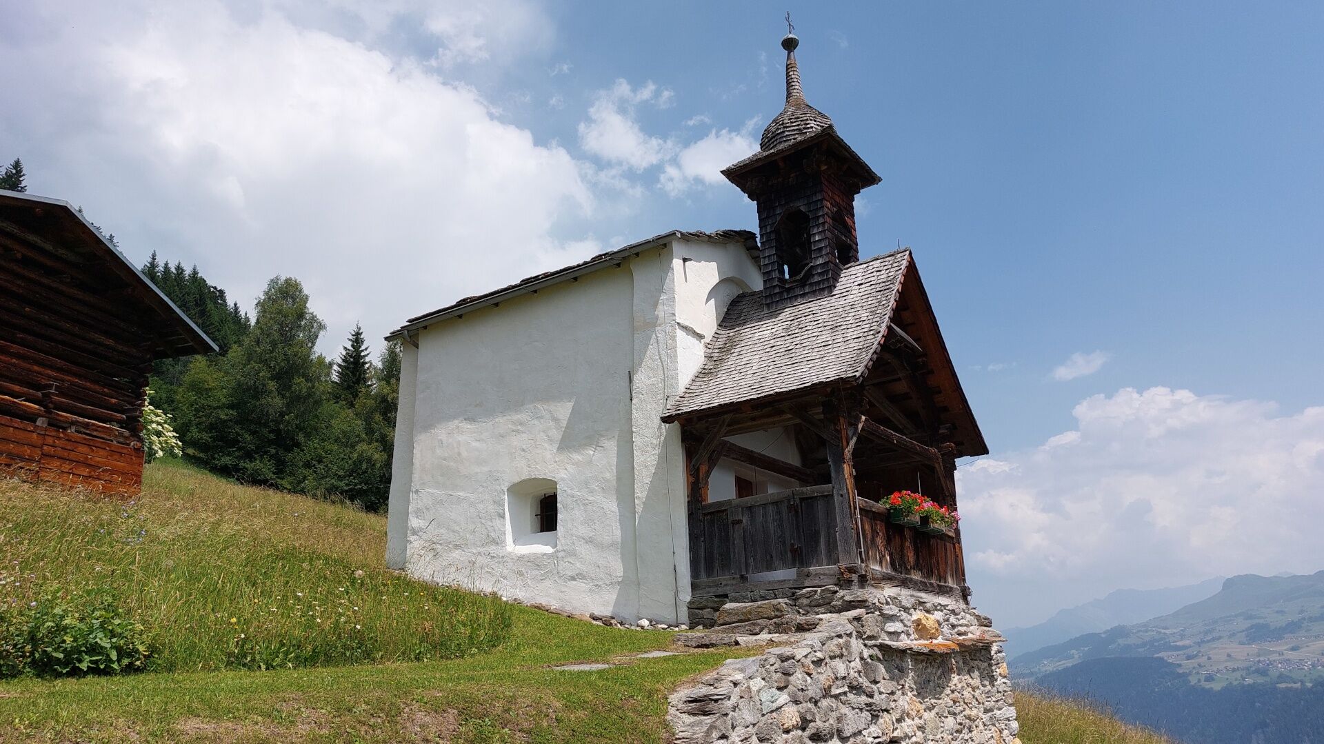
Historical Route - Chapel Sontga Clau
Poziom trudności: T2
The "Historical Route" is ideal as a short circular hike between Brigels and Dardin. You virtually walk from chapel to chapel. In Brigels, it concerns the S. Giacun chapel, which either symbolizes the...
The "Historical Route" is ideal as a short circular hike between Brigels and Dardin. You virtually walk from chapel to chapel. In Brigels, it concerns the S. Giacun chapel, which either symbolizes the start or end of the hike. Halfway through, you will find the small but charming S. Clau (St. Nicholas) chapel. Both chapels are open during the day and may be visited with the necessary respect. The route leads you through forests and mountain meadows and can be extended via "Plaun da Pleids" if desired. The hike is also suitable in bad weather, as it is not dangerous terrain. However, note the altitude difference you cover on the hike.
The hike is additionally marked with green signs with the "number 3." You can also find the route guidance in our free map "Survesta/ overview map" or on the 1:25000 hiking map for Brigels, which you can purchase at Surselva Tourism in the office or at Volg Brigels.
See also
Surselva Tourism AG
Info Brigels
Via Principala 32
CH-7165 Breil/Brigels
Tel.: 0041 81 941 13 31
E-Mail: brigels@surselva.info
Internet: www.surselva.info

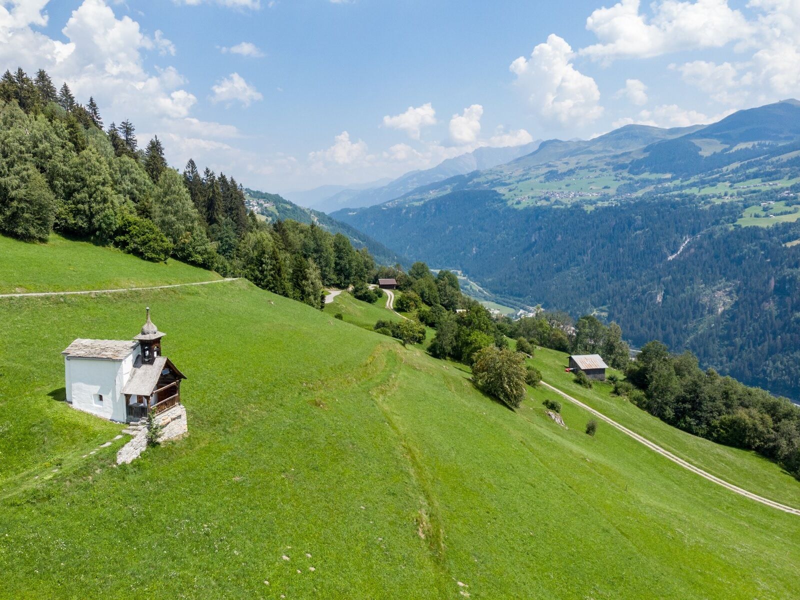
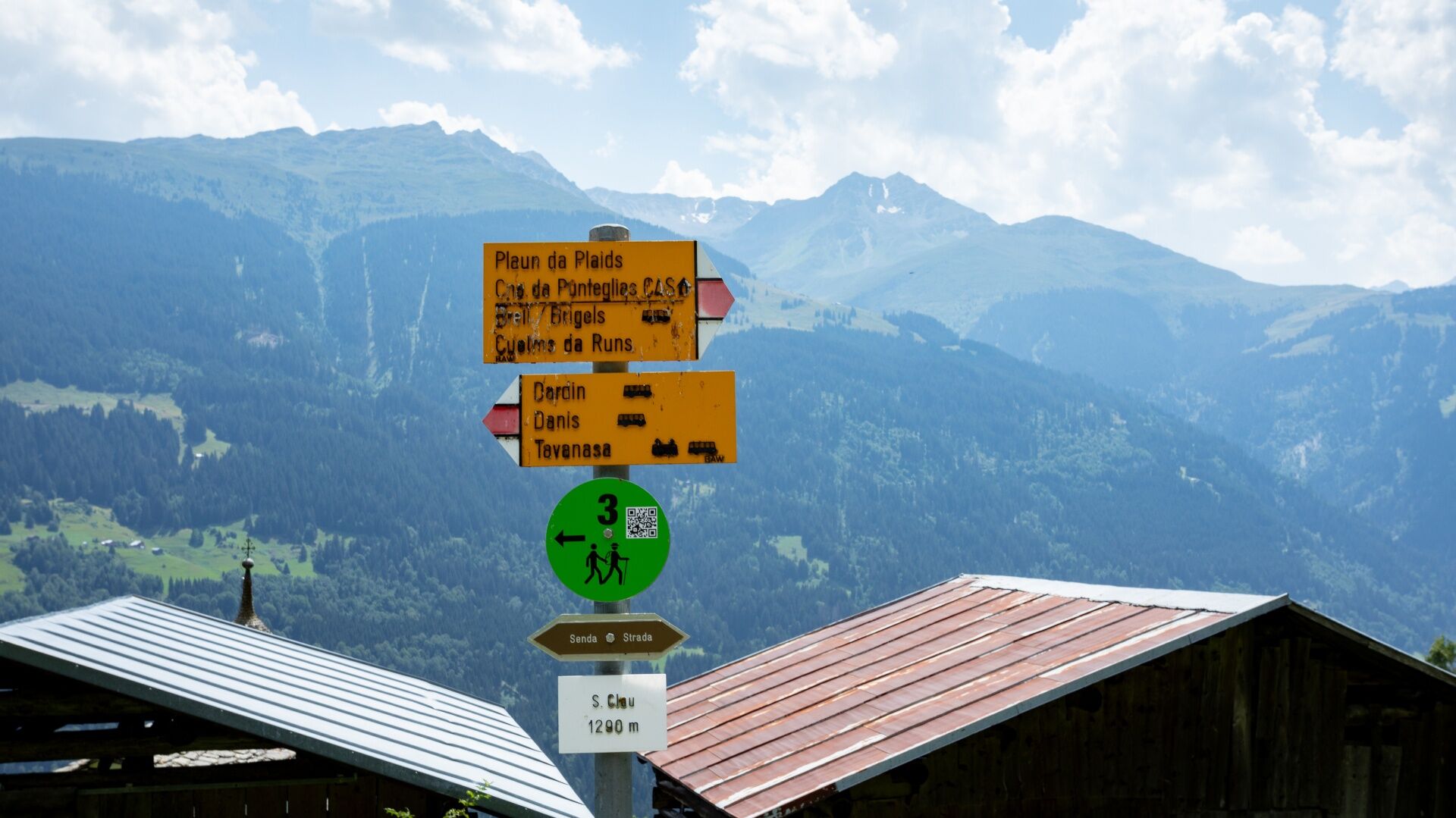
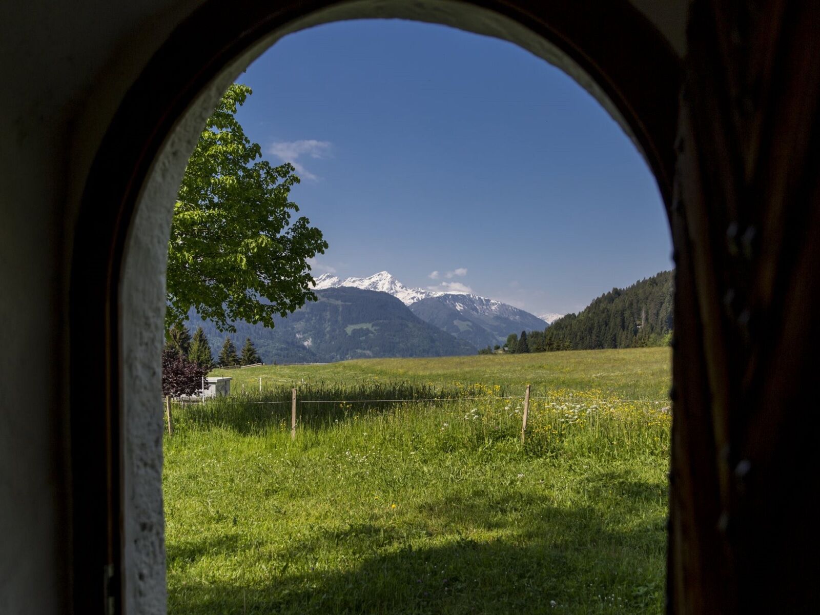
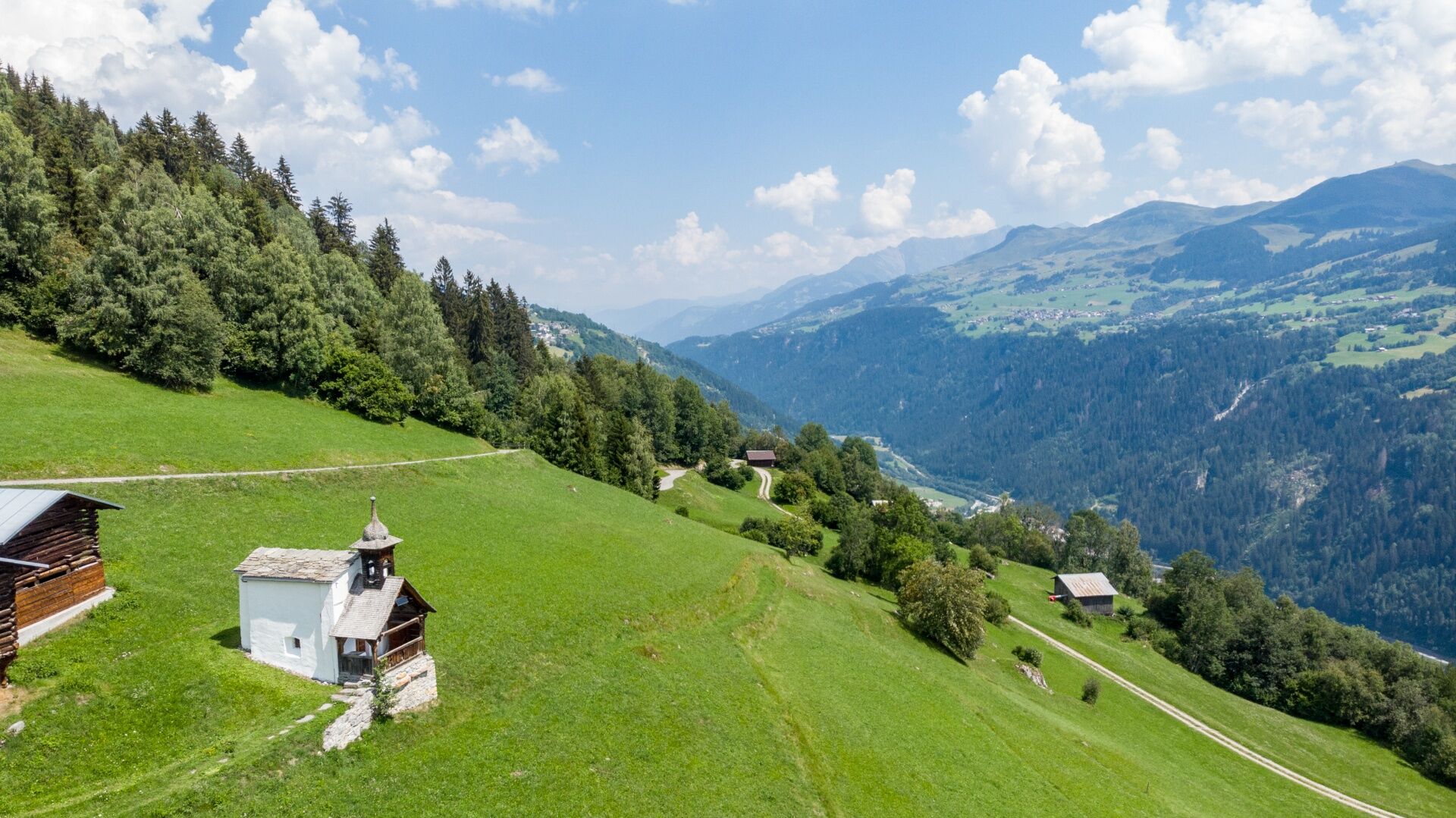

Brigels (Sogn Giacun chapel) - Naul - Val Cuschina - Aua Benedida - Bostg - Strada - Sontga Clau (chapel) - altitude marker 1321 - Taliu - Arblatsch - Cuolms da Runs - Brigels (Sogn Giacun chapel)
Tak
Hiking shoes or trekking shoes, sun protection, rain jacket, provisions, sufficient fluids, first aid kit, possibly poles.
In case of uncertain weather conditions, the route should not be started. Weather changes in the mountains are frequent. If a rain front or similar occurs during the hike, you should turn back in good time.
144 Emergency call, first aid
1414 Mountain Rescue REGA
112 International emergency call
T2
Note:
You can get the chapel key for the Sogn Giacun chapel at the Brigels information office or at Hotel Alpina. The S. Clau chapel in Dardin is open.
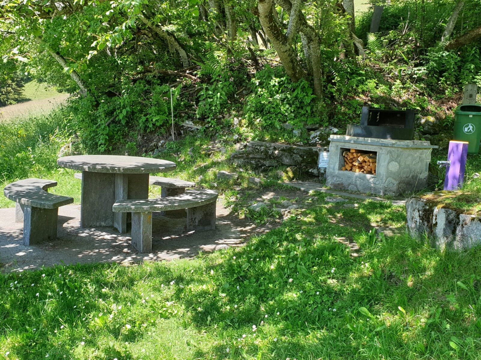
- Fireplace S. Clau
Uzyskaj wgląd
Zawsze na żywo z ponad 9 500 kamer internetowych. bergfex Jako użytkownik Pro, możesz teraz zobaczyć odpowiednie kamery internetowe dla wielu wycieczek w aplikacji wycieczki od. Pozwala to na bezpośredni podgląd aktualnych warunków.
Popularne wycieczki w okolicy
-
5,0
High valley Val Frisal
ciężkiWędrówka 12,4 km -
5,0
Kalktrittli - Nüschentäli - Muttsee - Obersee - Muttenchopf - Mörtel - Limmerensee - Kalktrittli (durch Stollen)
średniWędrówka 14,8 km -
4,3
Circular hike: Falera-Curnius-Alp Dadens-Falera
średniWędrówka 11,4 km -
5,0
Hiking route Suspension Bridge Val da Tersnaus
średniWędrówka 3,24 km -
5,0
2-day hike Greina high plateau
średniWędrówka 14,9 km -
Panoramic route between Piz Mundaun and Péz Sezner
średniWędrówka 6,75 km -
4,6
Trail run: Pigniu - Panixersee - Pigniu
średniTrailrunning 8,32 km -
4,3
Around the Grep da Plaids
średniWędrówka 8,05 km -
5,0
Hike Vrin - Uors over the suspension bridge Val da Silgin
średniWędrówka 12,3 km -
3,5
Places of Magic - Lumbrein
średniWędrówka 8,74 km
Wędrówki i tropienie


Nie przegap ofert i inspiracji na następne wakacje
Twój adres e-mail została dodana do listy mailingowej.





