






Historic route - Brigels Survitg (stroller accessible)
Poziom trudności: T1
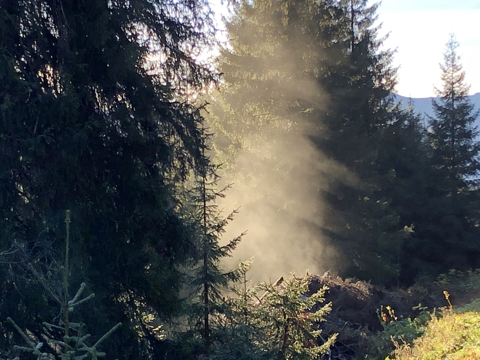
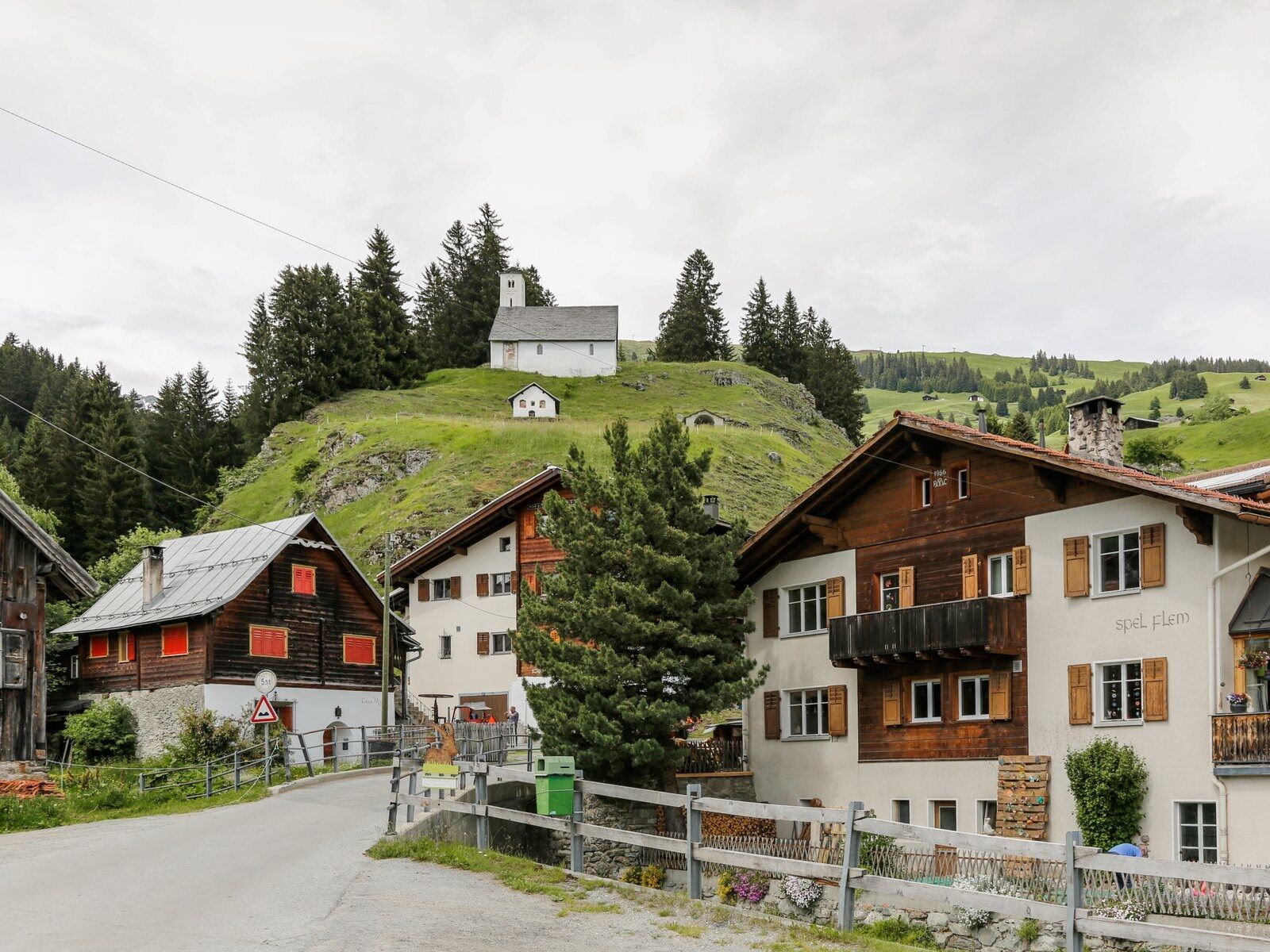
Welcome to the Survitg hiking trail. You start the hike at the Chapel Saint Jakob/S. Giacun. The path leads you further from Artugl towards Sur Acla. From this point, you are at the entrance to the Val...
Welcome to the Survitg hiking trail. You start the hike at the Chapel Saint Jakob/S. Giacun. The path leads you further from Artugl towards Sur Acla. From this point, you are at the entrance to the Val Frisal. The mountain landscape with the roaring wild water of the Flem is probably unique. Looking south, you see the village of Brigels. From Alp da Stiarls, the Val Frisal reveals its true face: steep slopes and overhanging rock walls, a diverse fauna and flora, the Flem stream with crystal-clear water, the fresh mountain air that can also become a storm. The Kistenstöckli (2745 m above sea level) is the dividing point between Graubünden and Glarus. In Muladiras, the three alpine pastures Quader, Alp Nova, and Rubi border each other. Here, cattle graze in summer. The sheep first graze around the village, then up to the Plaun Frisal. Until a few years ago, the goat herder drove his herd daily from the village to the Frisal plain and back.
The route markings in this tour description are based on the 1:25000 hiking map for Brigels, Waltensburg, Andiast. The hiking map is available at the Brigels information office, in the Volg Andiast and Waltensburg, and at the Hotel Postigliun in Andiast.
See also:
Surselva Tourismus AG
Info Brigels
Casa Sentupada
Via Principala 32
CH-7165 Breil/Brigels
Tel.: 0041 81 941 13 31
E-mail: brigels@surselva.info
Website: www.surselva.info

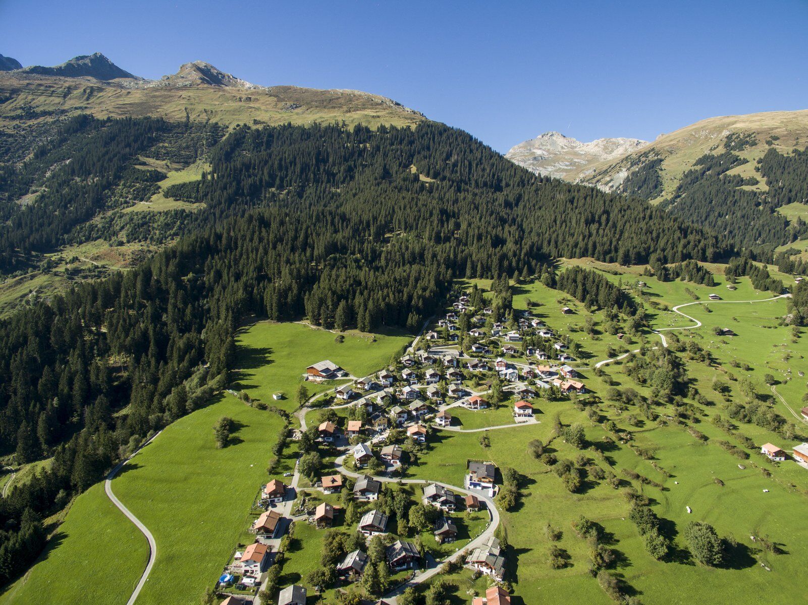

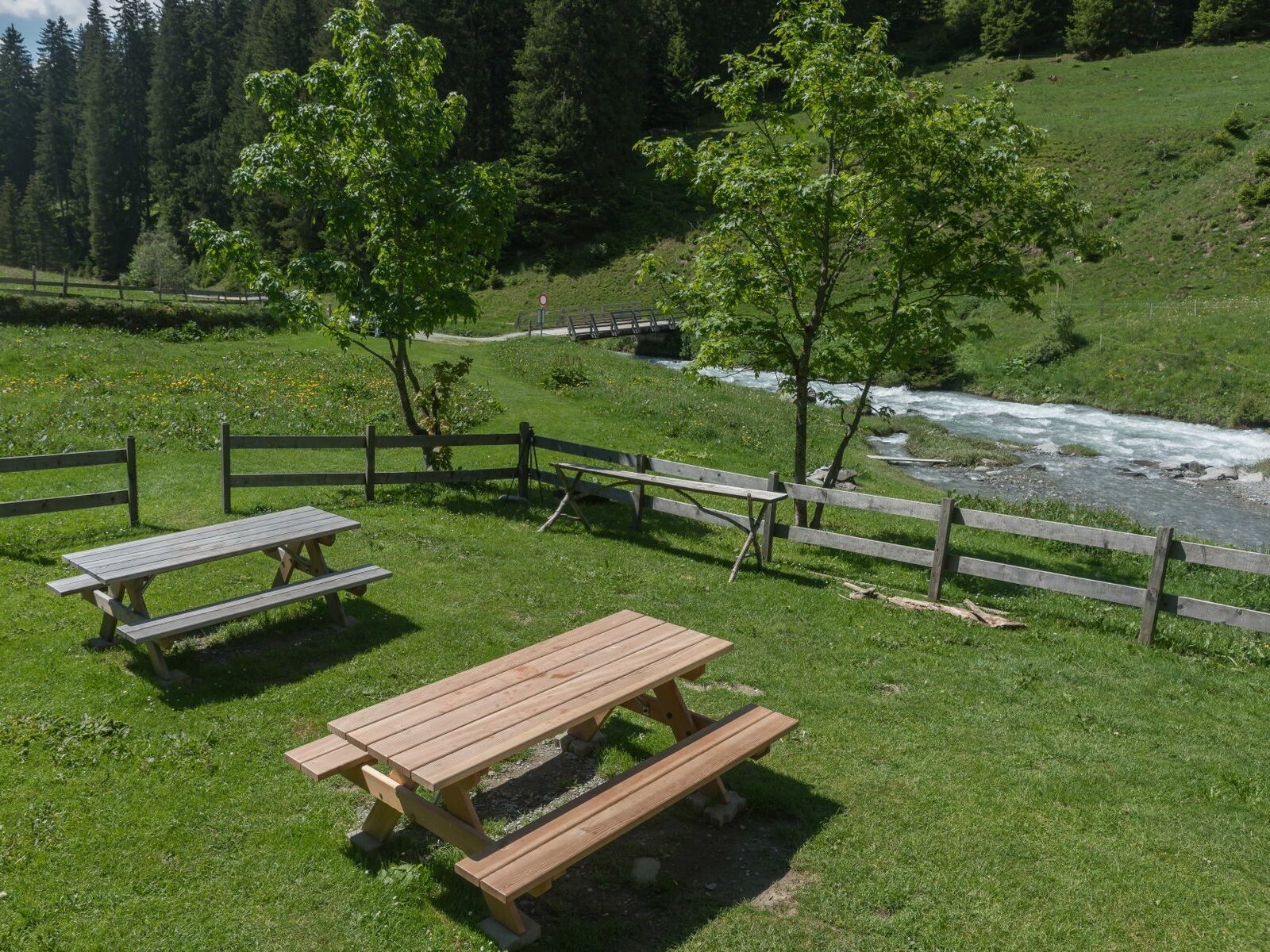
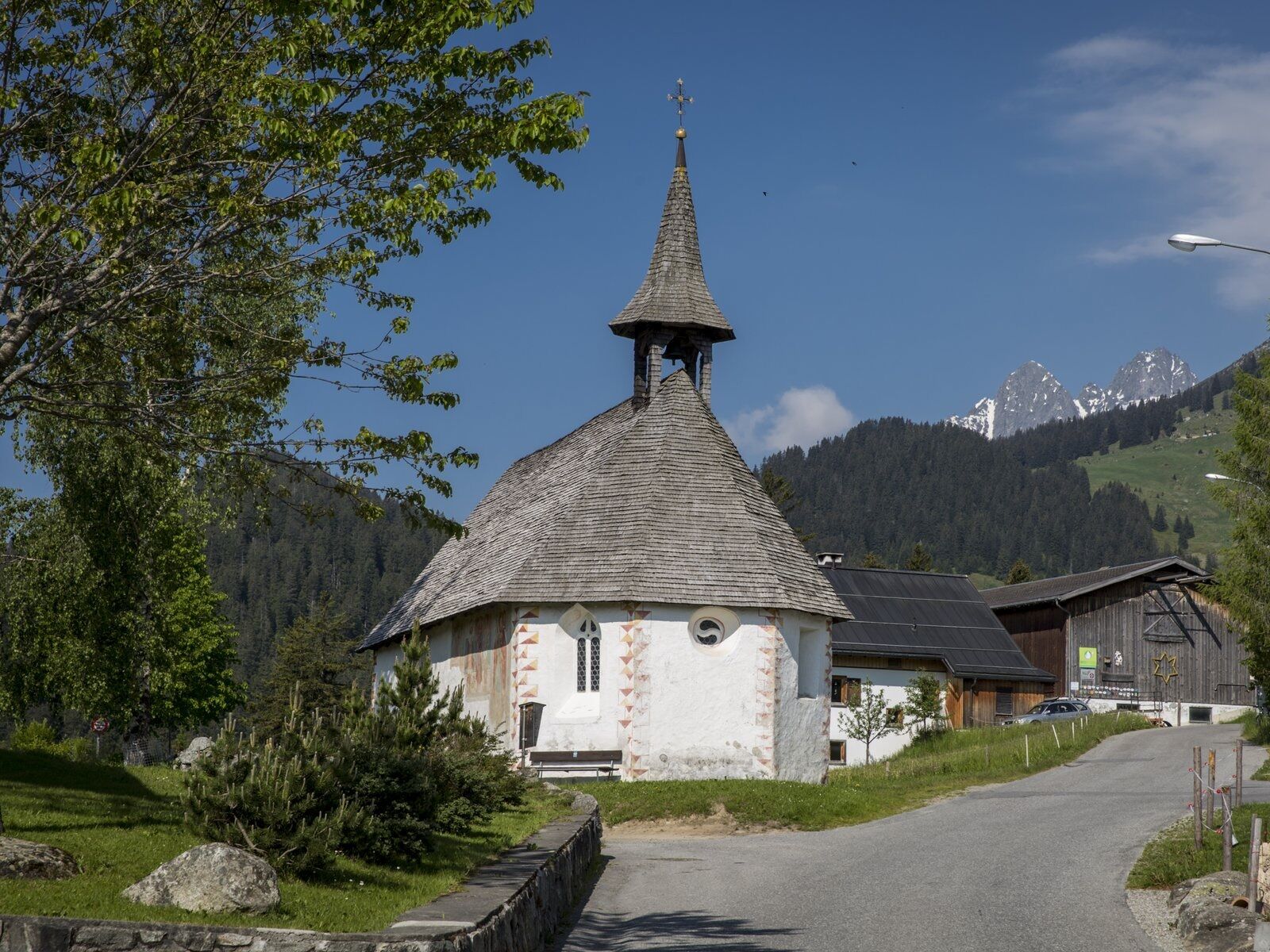

Chapel St. Jakob / s. Giacun - Artugl - Sur Acla - Alp da Stiarls - Rumasal - Chapel St. Eusebius / s. Sievi - Cuort
Tak
Tak
Good hiking shoes with a good grip, weather-appropriate clothing (rain jacket/sunscreen), change of clothes, first aid kit, drink, food, possibly hiking poles.
If weather conditions are uncertain, the route should not be started. Weather changes in the mountains are frequent. If a rain front or similar approaches during the hike, you should turn back in time. 144 Emergency call, first aid
1414 Mountain Rescue REGA
112 International emergency call
On the A13 to Reichenau, then on the main road 19 via Flims to Tavanasa and then up to Brigels
From the canton capital Chur, take the Rhaetian Railway through the spectacular Rhine Gorge to Ilanz and on to Tavanasa. Then take Postbus line 90.461 Tavanasa - Brigels to the stop Breil/Brigels, posta
Parking is available at the parking lots of the Brigels ski lift base station or at various smaller parking areas spread throughout the village.
T1
- Chapel s. Giacun
- Fire pit Rumasal / Plaun da Pors
- Chapel s. Sievi
Note: Chapel keys are available at the Brigels information office or at the Hotel Alpina.
Kamery internetowe z trasy
Uzyskaj wgląd
Zawsze na żywo z ponad 9 500 kamer internetowych. bergfex Jako użytkownik Pro, możesz teraz zobaczyć odpowiednie kamery internetowe dla wielu wycieczek w aplikacji wycieczki od. Pozwala to na bezpośredni podgląd aktualnych warunków.
Popularne wycieczki w okolicy
-
5,0
High valley Val Frisal
ciężkiWędrówka 12,4 km -
4,3
Circular hike: Falera-Curnius-Alp Dadens-Falera
średniWędrówka 11,4 km -
5,0
Kalktrittli - Nüschentäli - Muttsee - Obersee - Muttenchopf - Mörtel - Limmerensee - Kalktrittli (durch Stollen)
średniWędrówka 14,8 km -
5,0
Hiking route Suspension Bridge Val da Tersnaus
średniWędrówka 3,24 km -
Panorama ridge hike: Crap Sogn Gion - Fuorcla - Alp Nagens
średniWędrówka 9,44 km -
Panoramic route between Piz Mundaun and Péz Sezner
średniWędrówka 6,75 km -
4,0
Falera - Laax - Falera
światłoWędrówka 7,35 km -
4,5
Around the Grep da Plaids
średniWędrówka 8,05 km -
5,0
Hike Vrin - Uors over the suspension bridge Val da Silgin
średniWędrówka 12,3 km -
3,5
Places of Magic - Lumbrein
średniWędrówka 8,74 km
Wędrówki i tropienie


Nie przegap ofert i inspiracji na następne wakacje
Twój adres e-mail została dodana do listy mailingowej.





