







Churches and chapels hike Suraua, Lumnezia
Poziom trudności: T3
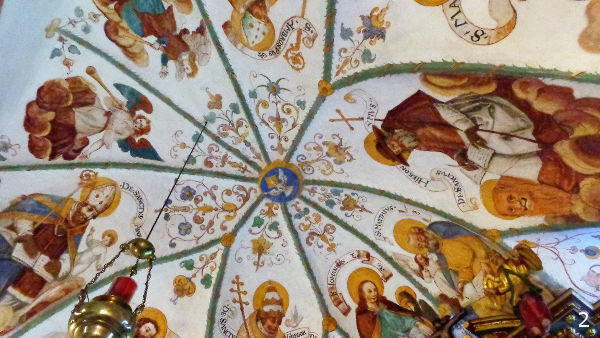
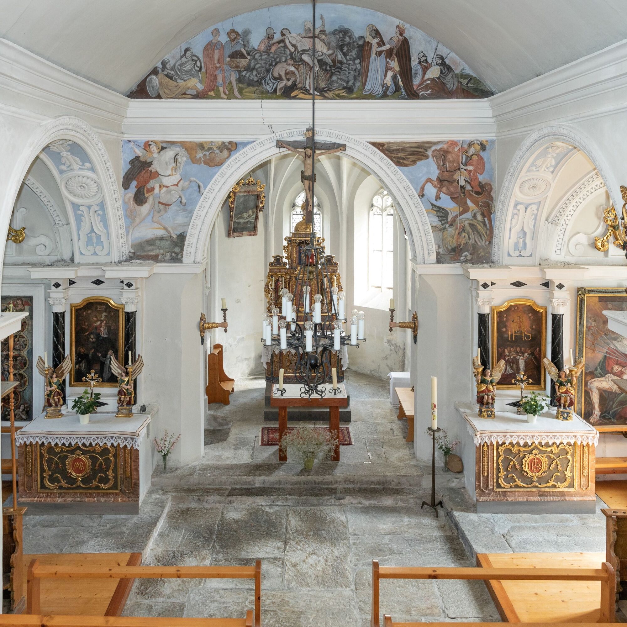
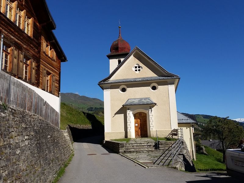
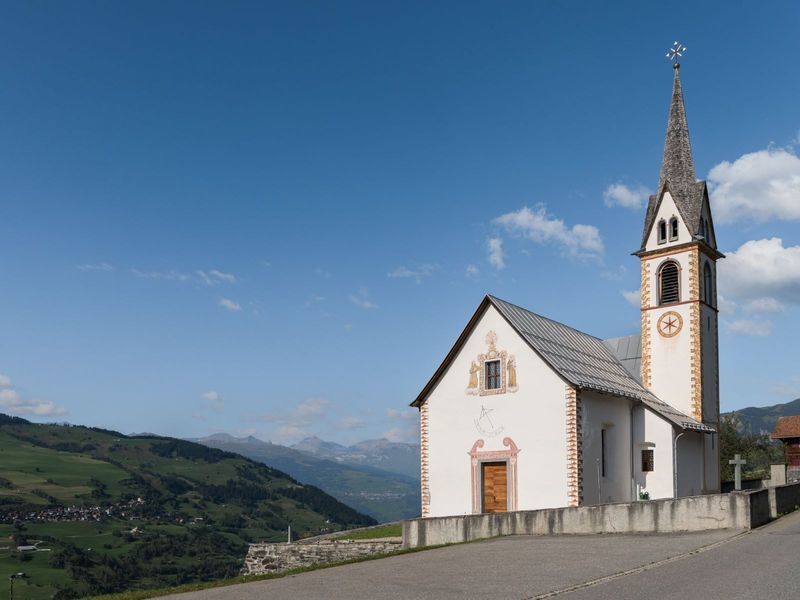
At the beginning of the hike is the small chapel Sogn Carlo Boromeo in Uors. The interior of the chapel was painted in 1616 by Hans Jakob Greutter.
After the visit, the hike begins. You go down to the...
At the beginning of the hike is the small chapel Sogn Carlo Boromeo in Uors. The interior of the chapel was painted in 1616 by Hans Jakob Greutter.
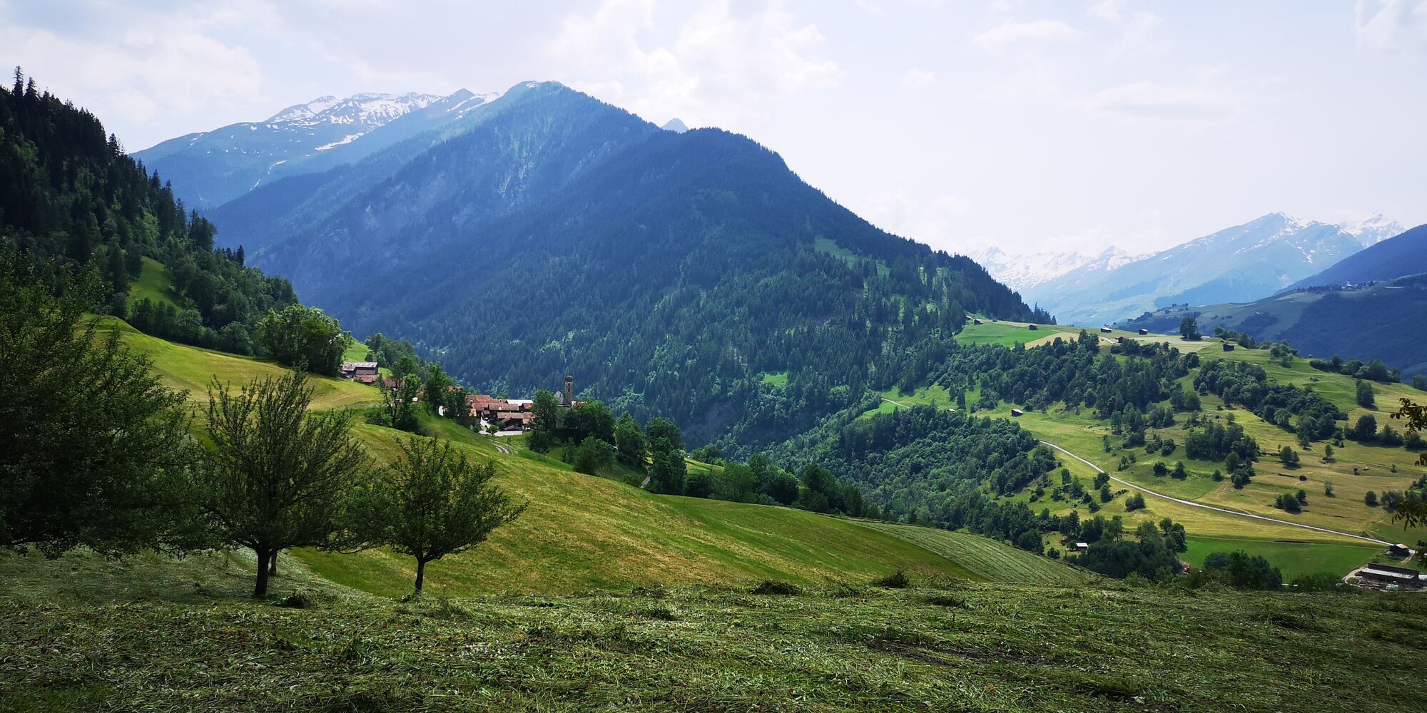
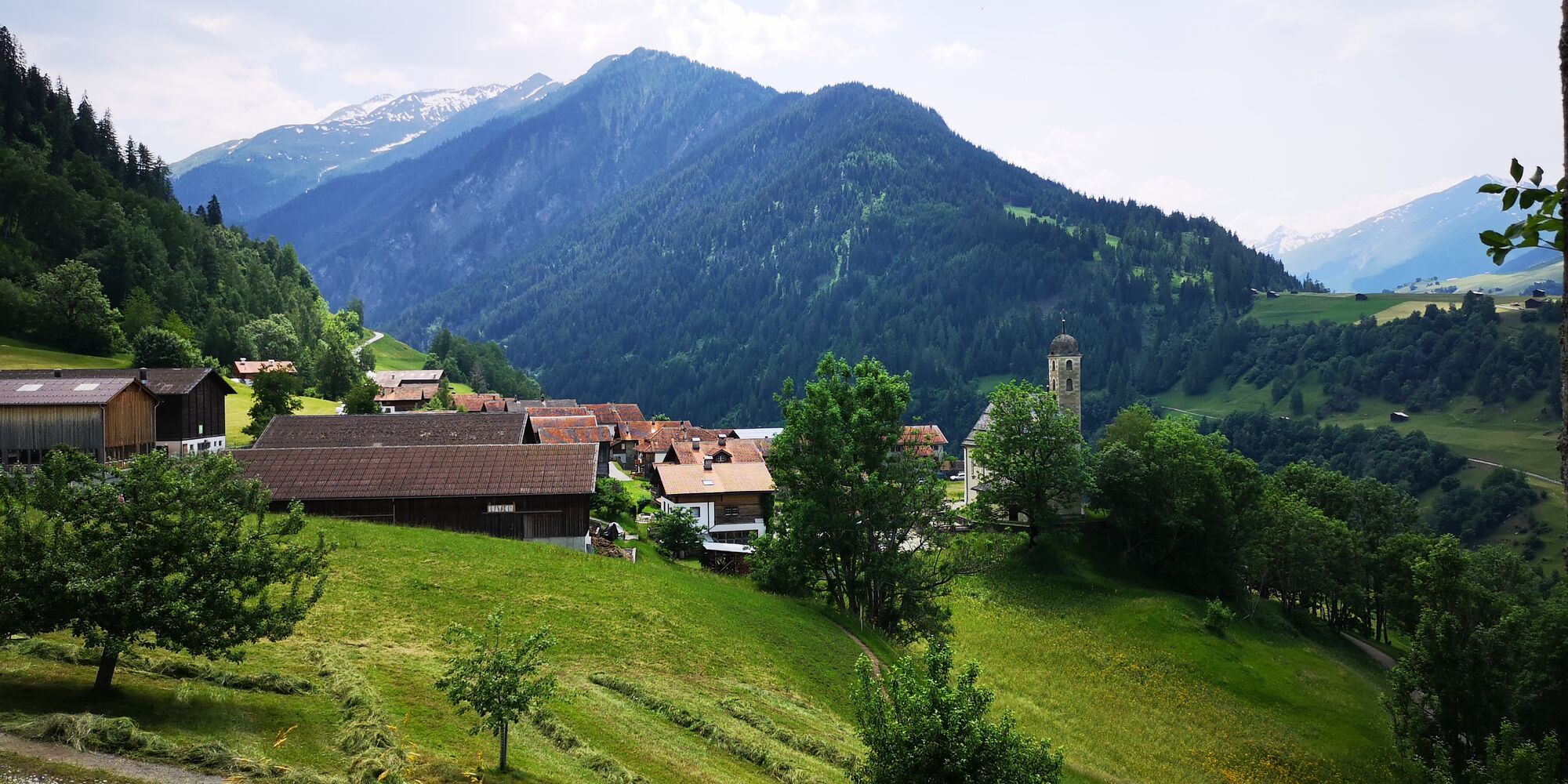
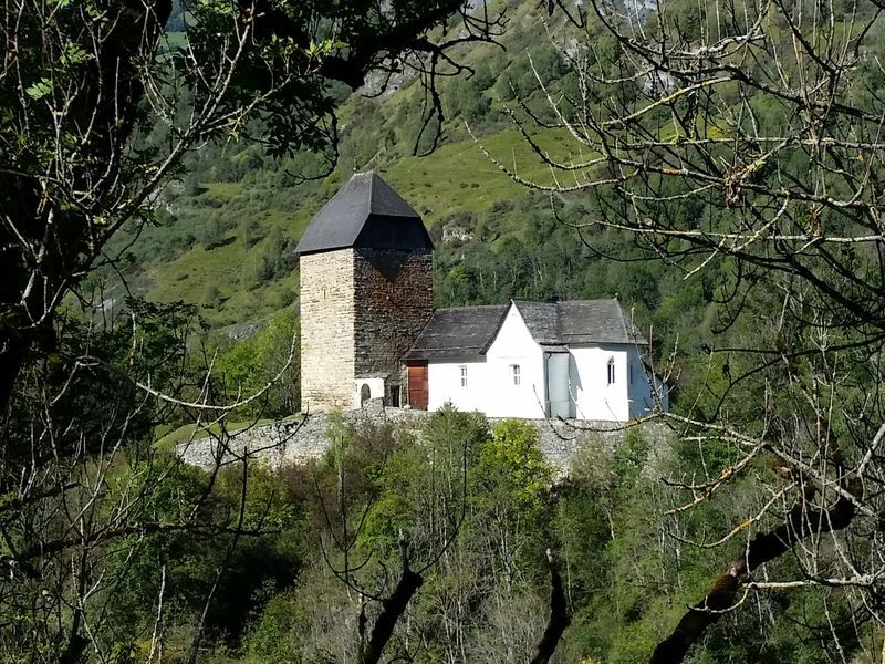
After the visit, the hike begins. You go down to the Valserrhein via the old road, then follow a small ascent up to the castle hill with the church Sogn Luregn. The castle is gone, only the tower remains and has served as a church tower since 1515. This church also contains paintings by Hans Jakob Greutter. The rock outcrop on which the church Sogn Luregn stands is a powerful place, especially in the church, powerful energies can be felt.
Then continue to Surcasti to the small chapel Sogn Giusep, which has already been affected by fire twice. A special feature is the glazed niche on the left choir wall with Mary with the Child dressed in valuable brocade.
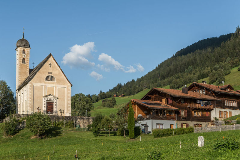
Over the arch bridge you return to Uors and follow the main road towards Vals. After about 200 m, the hiking trail branches off to the left at the small saint's niche in the direction of Tersnaus. In Tersnaus, the hometown of mountain bike world champion Nino Schurter, stands the church Sogn Balun e Sontga Madleina. In the church you will find works by the reformed itinerant painter Hans Ardüser as well as the catholic painters Hans Jakob Greutter and Fridolin Eggert.
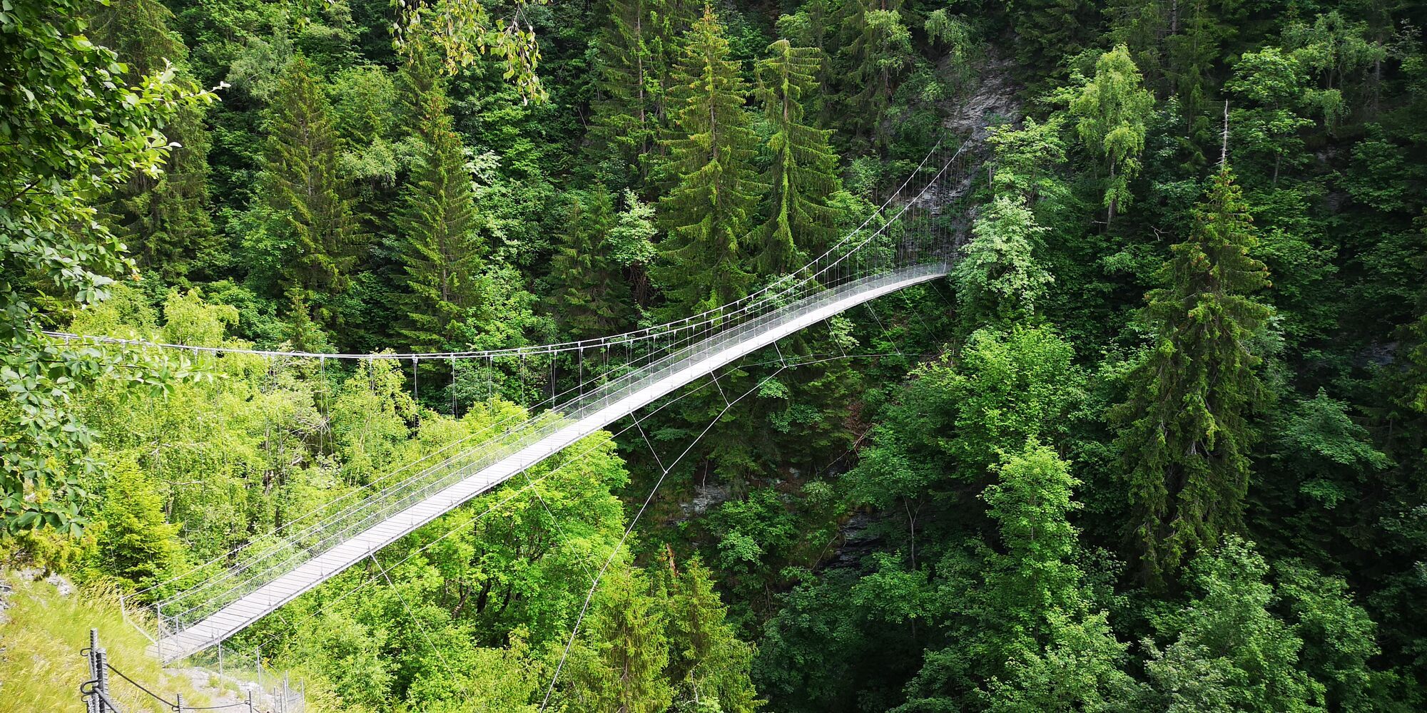
At the upper edge of the village, a field path leads to the 66-meter-long and 34-meter-high suspension bridge over the Val da Tersnaus. After the bridge, follow the hiking trail up to Runs and further to Camuns to the church Sogn Gion. From the church Sogn Gion there is a magnificent view over the whole Lumnezia. The ceiling painting in the middle of the nave vault of the church comes from Johann Jakob Rieg from the year 1696.
You return in the same way towards the suspension bridge. Shortly before the bridge, the hiking trail branches down to Uors.
Except for the church Sogn Luregn in Surcasti, all churches and chapels are open from 09:00 to 17:00. You can get the key for the church Sogn Luregn from Pius Derungs, tel. 0041 81 931 14 46 or Simon Derungs 0041 77 477 83 61/0041 81 931 17 81. Please request in advance.








Uors - Surcasti - Uors - Tersnaus - Runs - Camuns - Uors
Good hiking shoes with a good tread or trekking shoes, weather-appropriate clothing (rain jacket), drink, possibly food, possibly hiking poles.
In the event of uncertain weather conditions, the route should not be started. Weather changes in the mountains are frequent. If a rain front or similar approaches during the hike, you should turn back in time.
Via Chur A3/A13 via Flims to Ilanz. From Ilanz drive towards Vals.
From Vella via Cumbel and Peiden to Uors.
Post bus line 90.431 Ilanz - Vals, stop Uors
Parking options at the schoolhouse in Uors.
T3
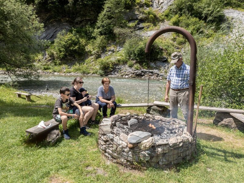
At the Valserrhein between Uors and the castle hill as well as in Tersnaus at the access to the suspension bridge, there is a fireplace for resting and grilling.
At the upper edge of the village of Surcasti, in the middle of a meadow, lies an imposing and splendid panoramic menhir. According to the Swiss Power Places Research Center, the panoramic menhir is the central stone of a large, supraregional stone circle.
Kamery internetowe z trasy
Uzyskaj wgląd
Zawsze na żywo z ponad 9 500 kamer internetowych. bergfex Jako użytkownik Pro, możesz teraz zobaczyć odpowiednie kamery internetowe dla wielu wycieczek w aplikacji wycieczki od. Pozwala to na bezpośredni podgląd aktualnych warunków.

Popularne wycieczki w okolicy
-
4,9
Rheinschlucht: From Ilanz to Versam into the heart of the Rheinschlucht
średniWędrówka 11,4 km -
4,3
Circular hike: Falera-Curnius-Alp Dadens-Falera
średniWędrówka 11,4 km -
5,0
Panorama route
światłoWędrówka 5,39 km -
5,0
Hiking route Suspension Bridge Val da Tersnaus
średniWędrówka 3,24 km -
Piz Fess 2880m, the proud one
ciężkiWędrówka 12,8 km -
4,7
Dutjer Alp - magnificent view
średniWędrówka 8,23 km -
3,3
3-lake hike
średniWędrówka 12,8 km -
Panoramic route between Piz Mundaun and Péz Sezner
średniWędrówka 6,75 km -
5,0
Winter hike Gadastatt - Frunt - Zerfreila (Panorama trail)
światłoWędrówka zimą 5,36 km -
4,5
Fanellhorn 3124 m
ciężkiWycieczka wysokogórska 6,86 km
Wędrówki i tropienie


Nie przegap ofert i inspiracji na następne wakacje
Twój adres e-mail została dodana do listy mailingowej.





