







High Run Heidbüel - Tgantieni

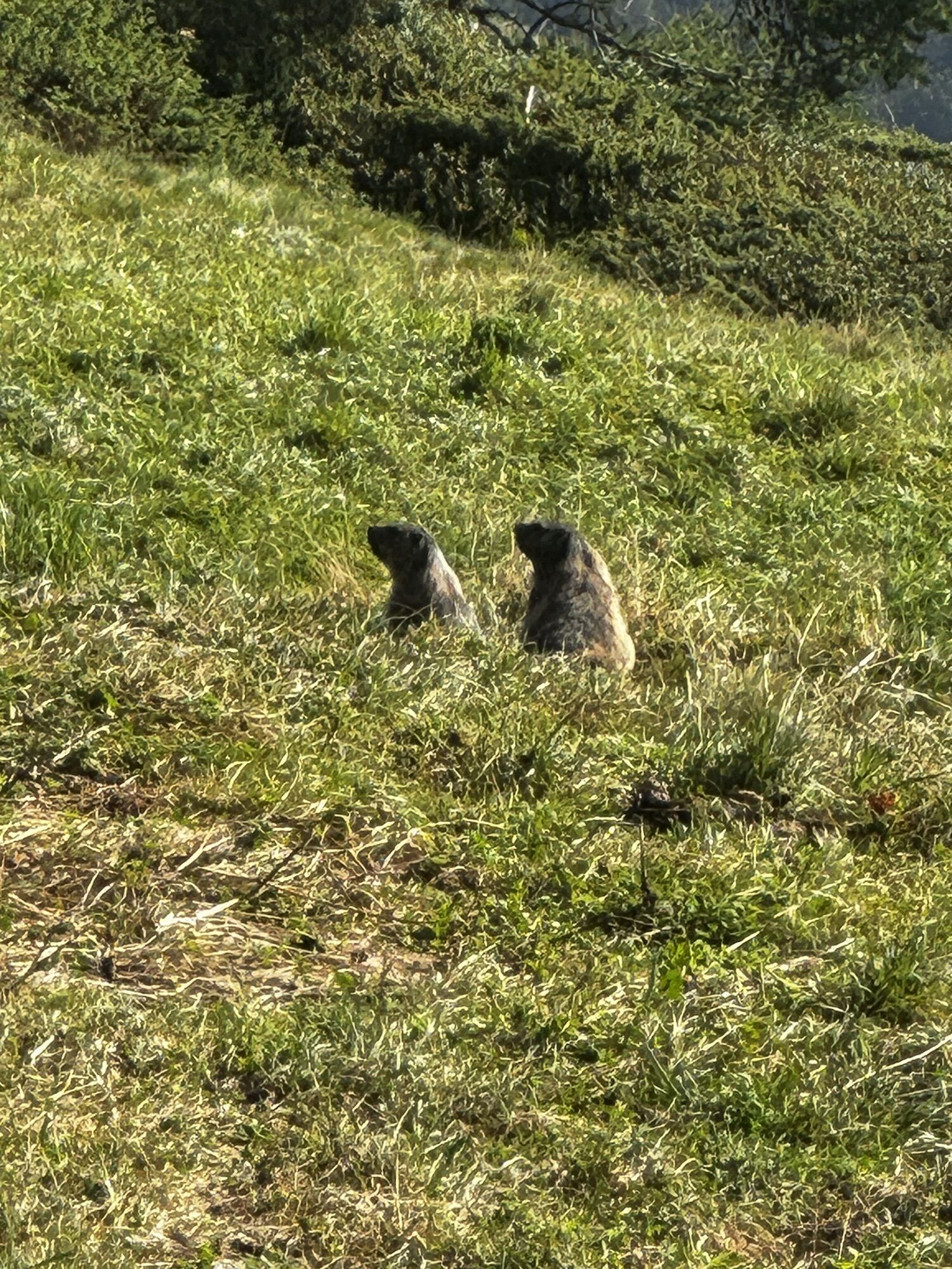
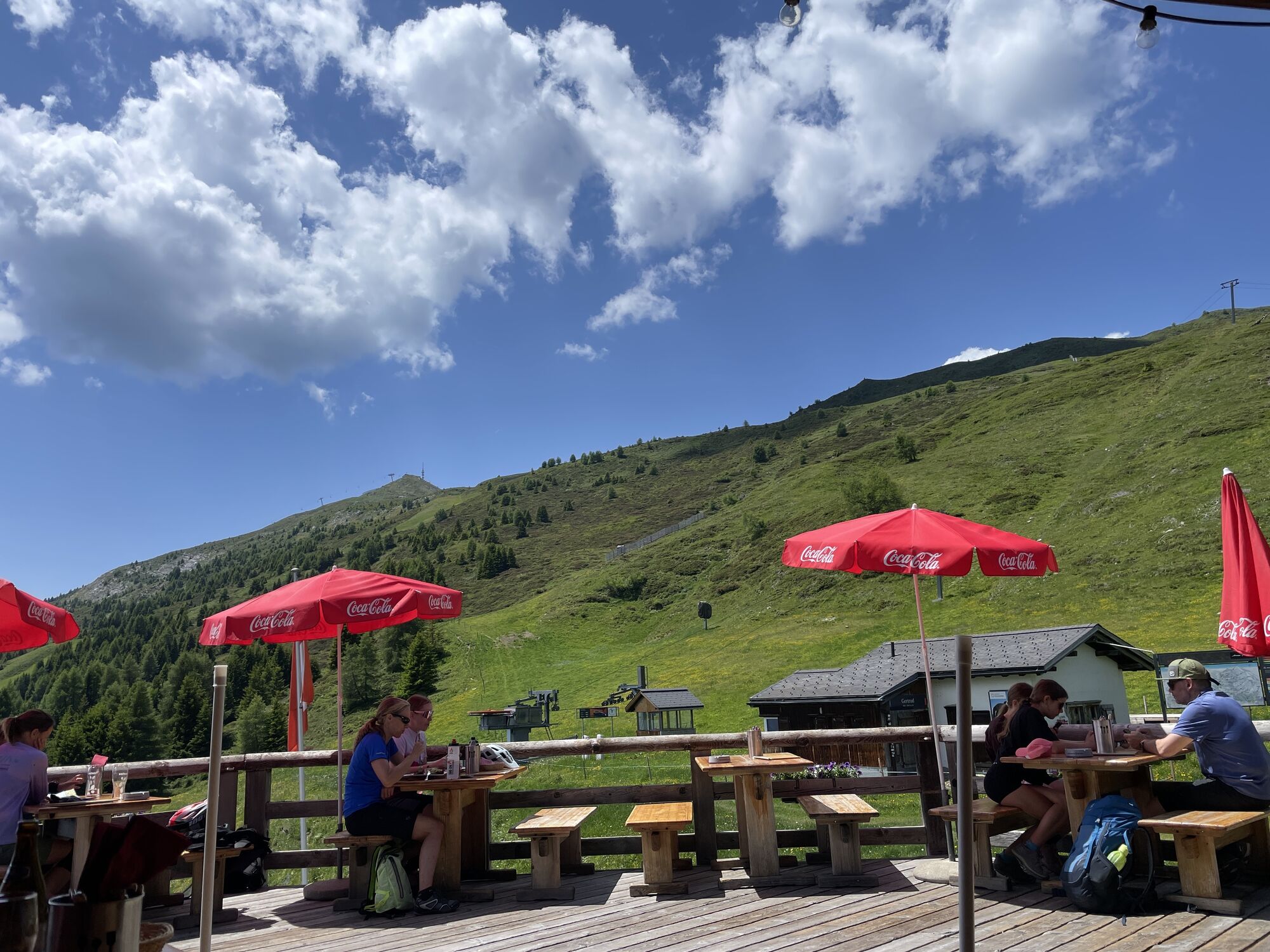
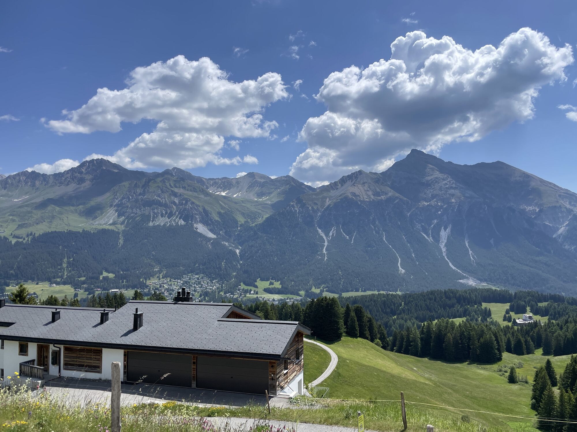
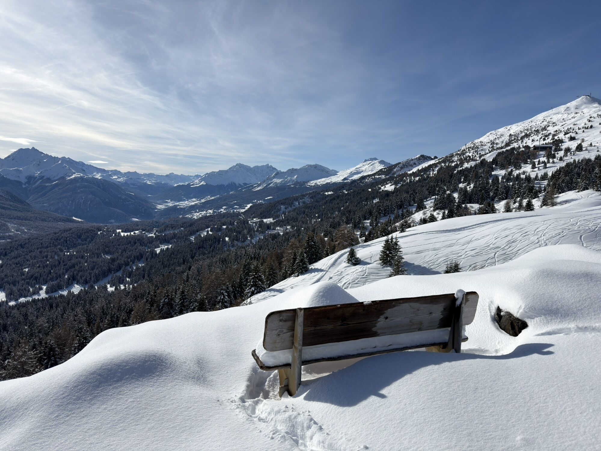
The route runs along the high trail from Heidbüel to Tgantieni. Thanks to the mountain railway ascent and descent, the route is perfect for beginners. Along the way, a wonderful panorama of the Heidsee...
The route runs along the high trail from Heidbüel to Tgantieni. Thanks to the mountain railway ascent and descent, the route is perfect for beginners. Along the way, a wonderful panorama of the Heidsee awaits, and time flies by. The route can also be completed in the opposite direction.

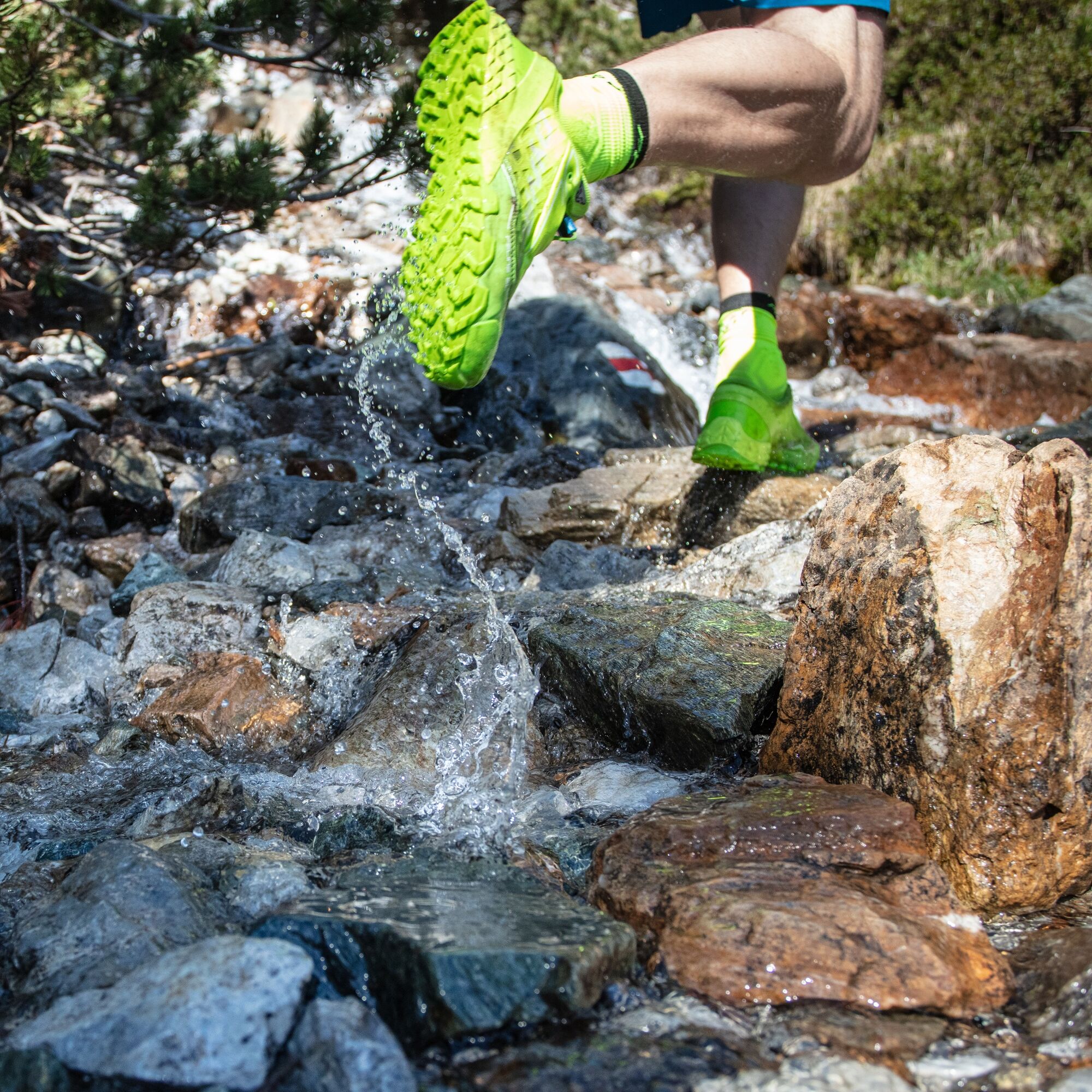
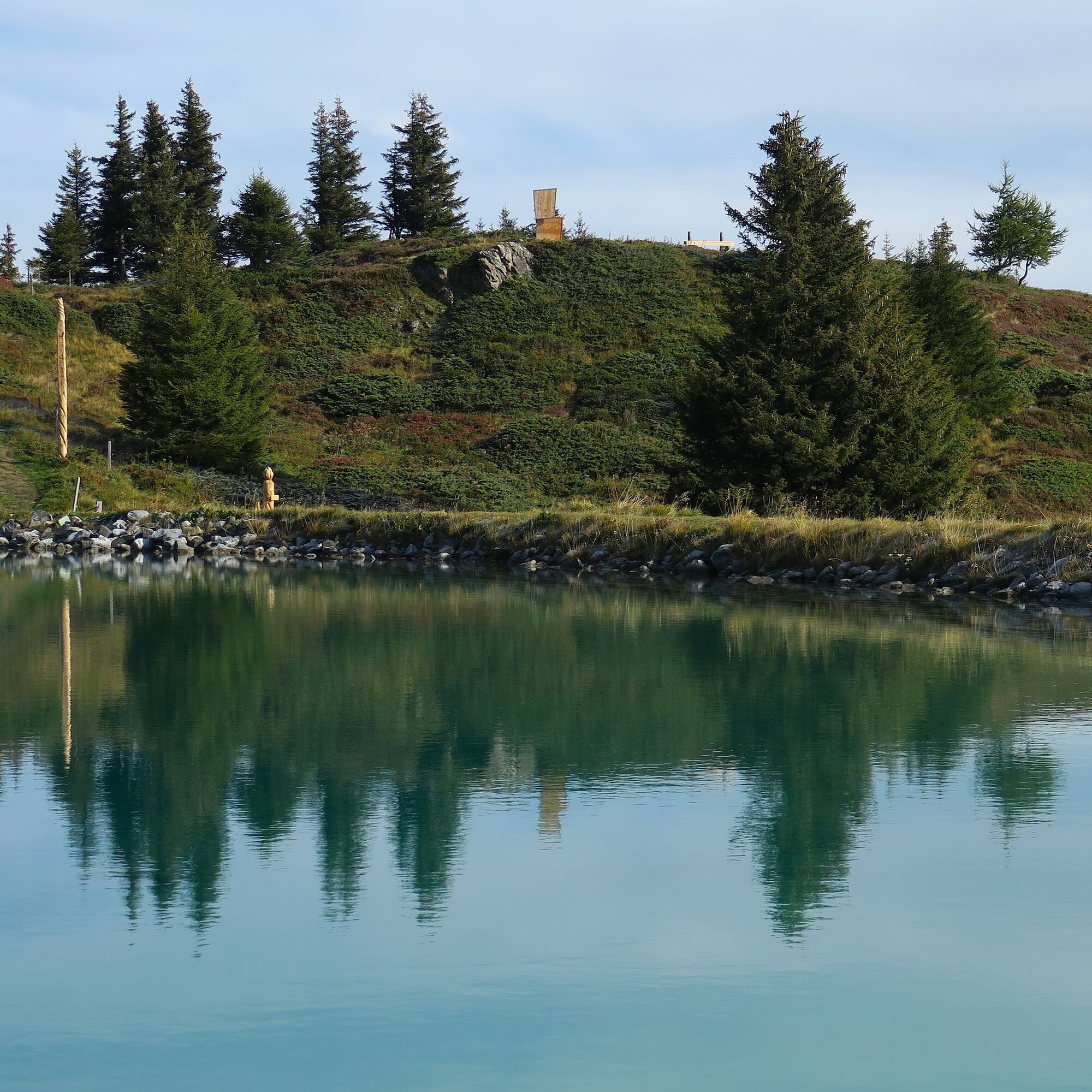

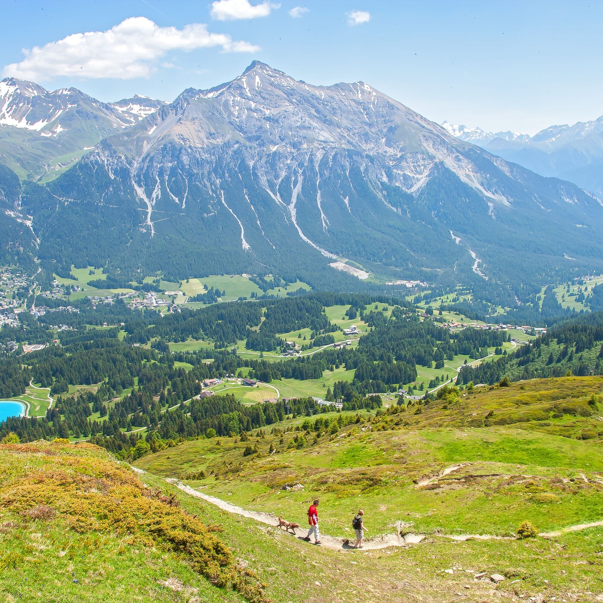

Tak
Trail running shoes, weather-appropriate clothing, and sufficient provisions.
Please observe the operating times of the mountain railways.
At the end, a visit to the Berghotel Tgantieni or the mountain restaurant Acla Grischuna is worthwhile for a refreshment.
Popularne wycieczki w okolicy
-
4,6
749 Val Meltger suspension bridge trail
średniWędrówka 8,30 km -
Arosa-Schwellisee-Älplisee-Parpaner Rothorn
Wędrówka 12,3 km -
4,7
Arosa-Hörnli-Parpaner Rothorn-Lenzerheide
Wędrówka 11,9 km -
5,0
Alp Sanaspans - Rothorn
ciężkiWędrówka 13,6 km -
5,0
Eichhörnliweg Arosa
światłoTrasa tematyczna 1,72 km -
5,0
Arosa-Hörnli-Urdenfürrgli-Alp Scharmoin-Lenzerheide
średniWędrówka 15,3 km -
5,0
767 Alteinsee Schiesshorn
średniWędrówka 11,9 km -
4,6
Thusis - Cafe im Park - Reformierte Kirche Reischen - Zillis
średniWycieczki górskie 10,8 km -
5,0
Arosa-Erzhornsattel-Arosa
Wędrówka 14,9 km -
745 Family Trail Lenzerheide
światłoWędrówka 9,36 km
Wędrówki i tropienie


Nie przegap ofert i inspiracji na następne wakacje
Twój adres e-mail została dodana do listy mailingowej.





