







Arlenwald loop (Helsana Trail)

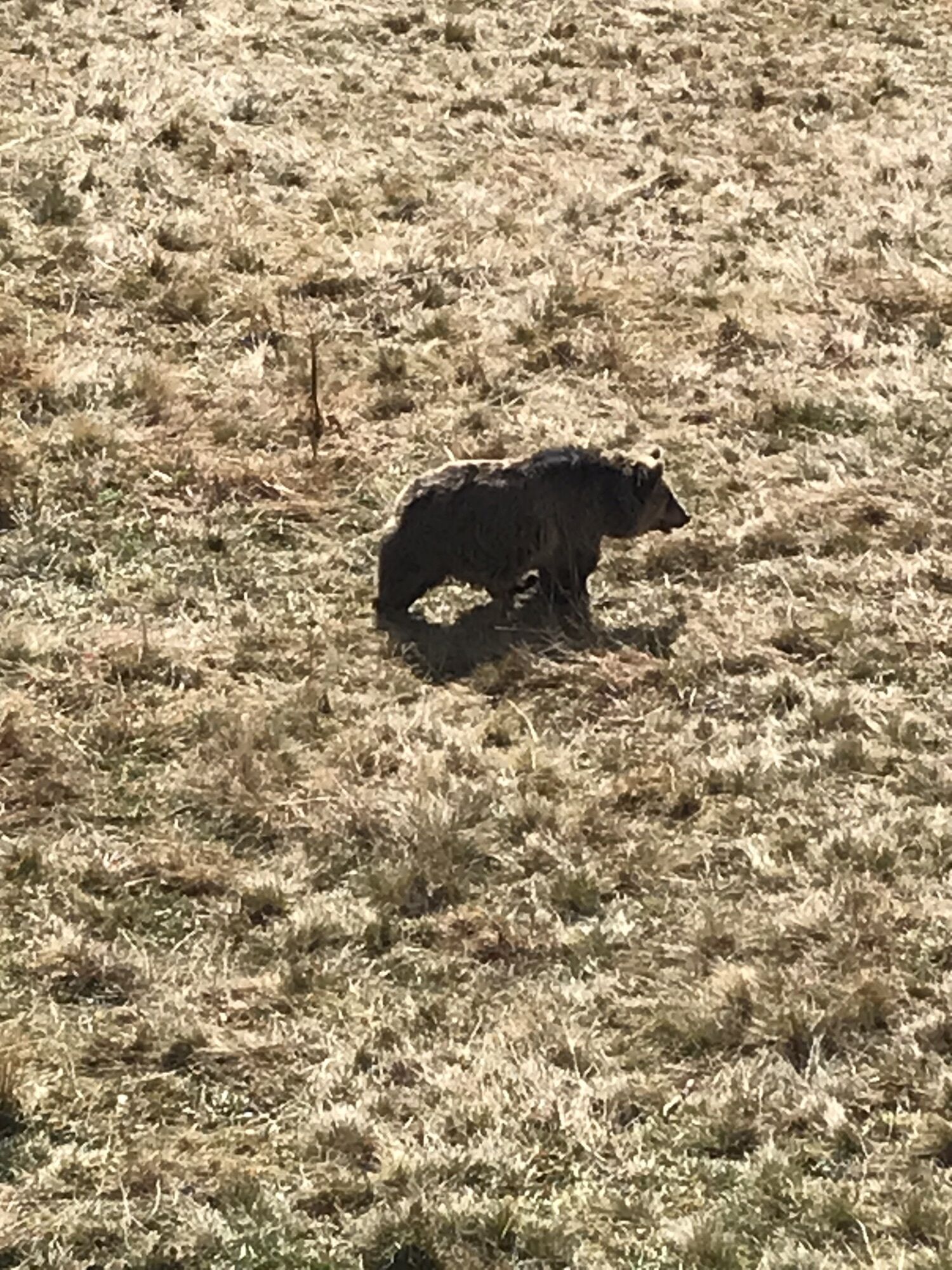
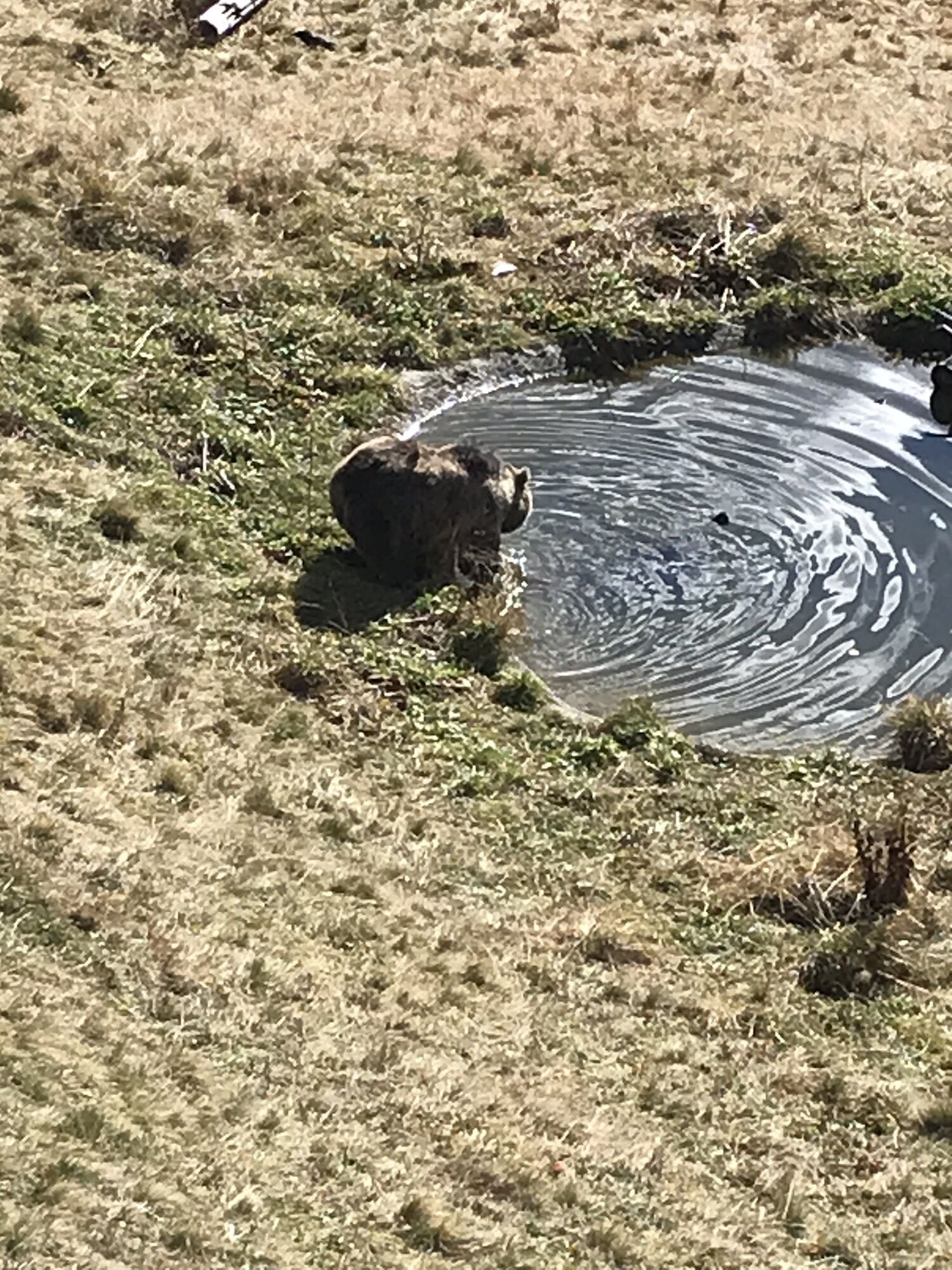
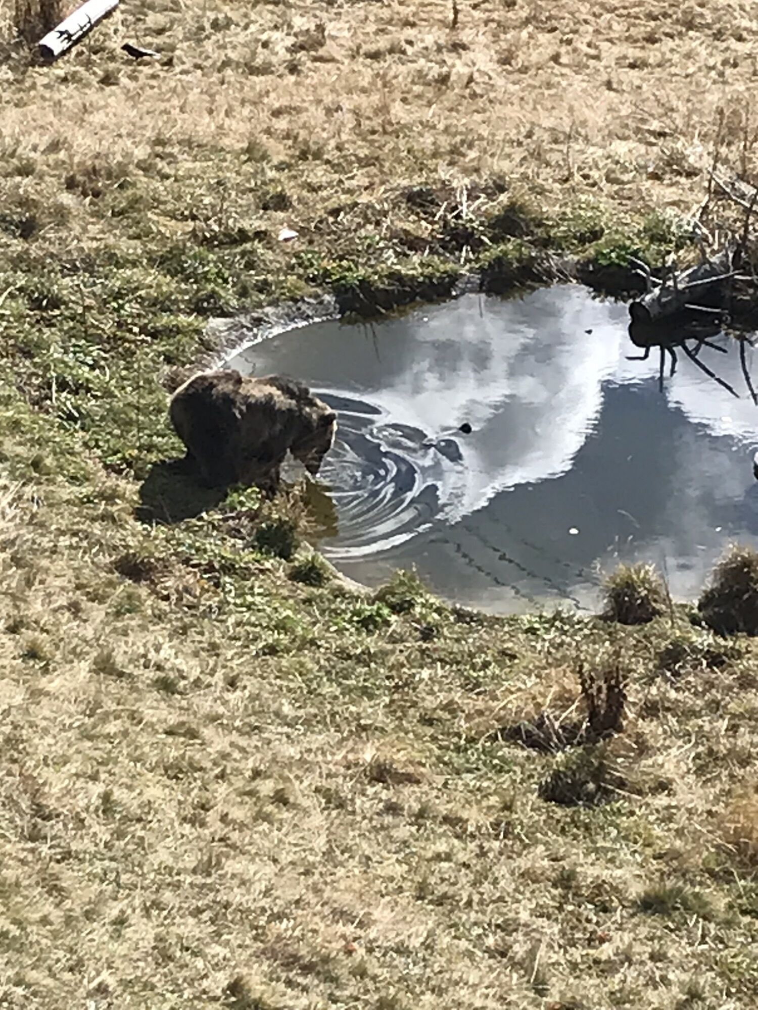
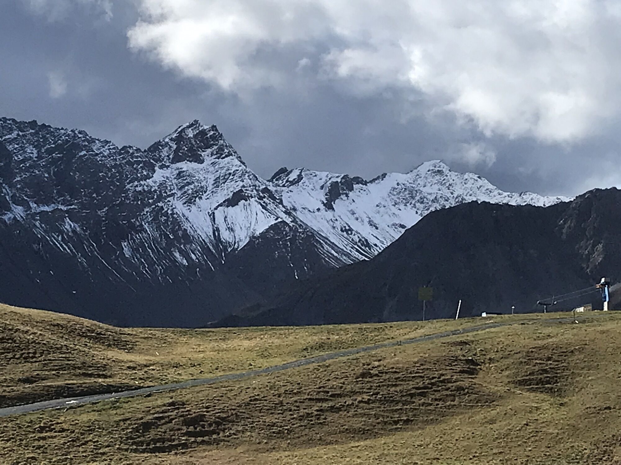
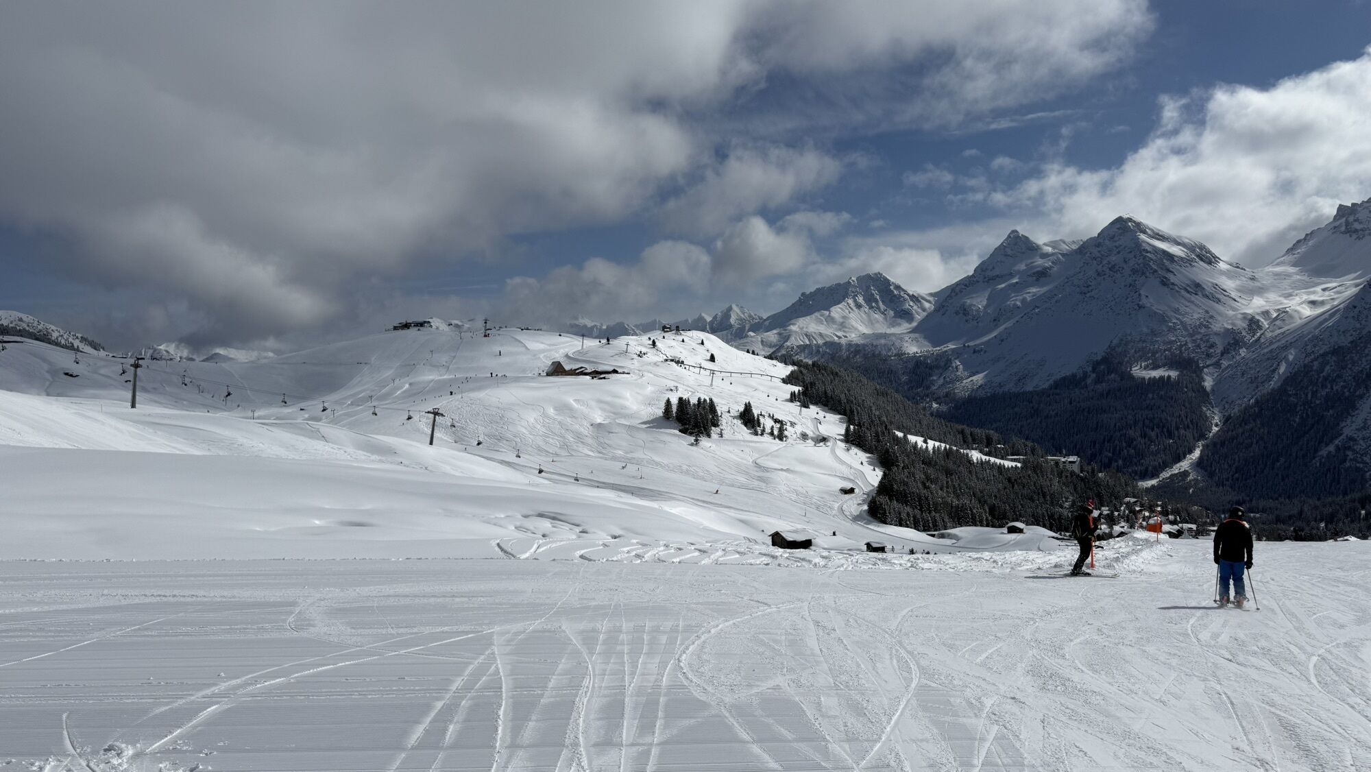
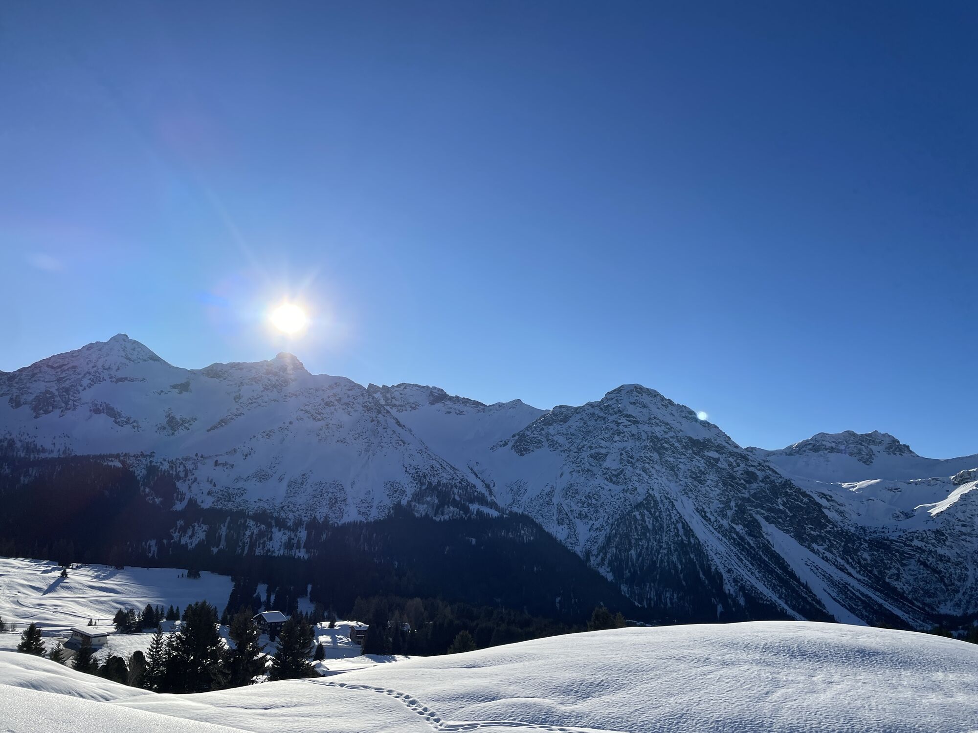


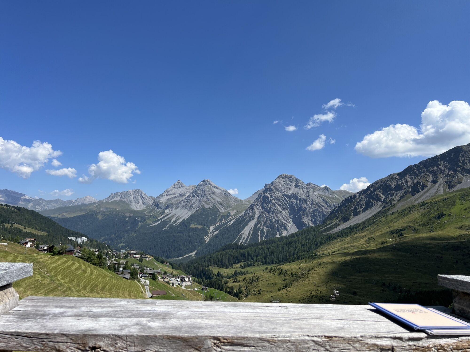
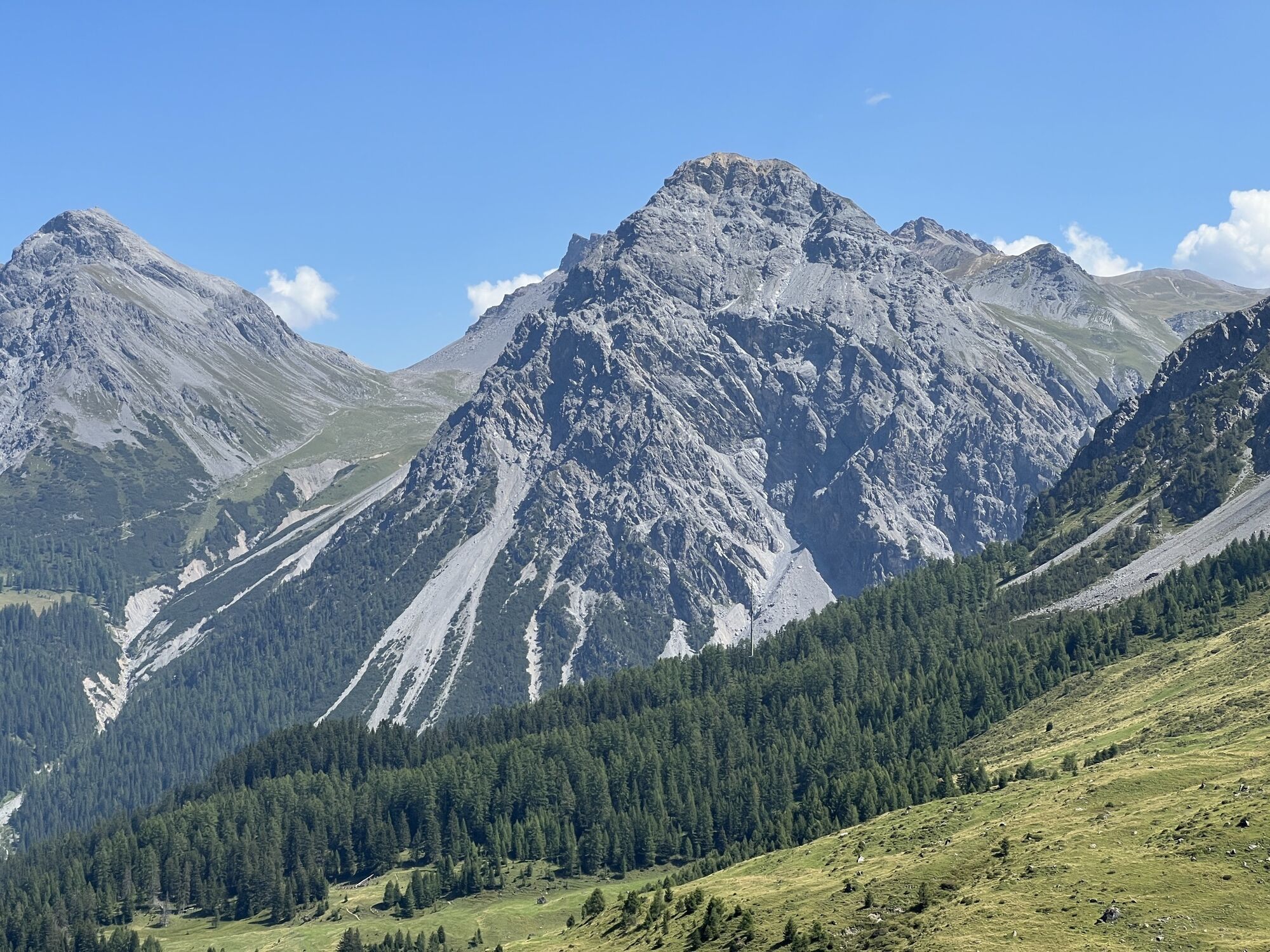
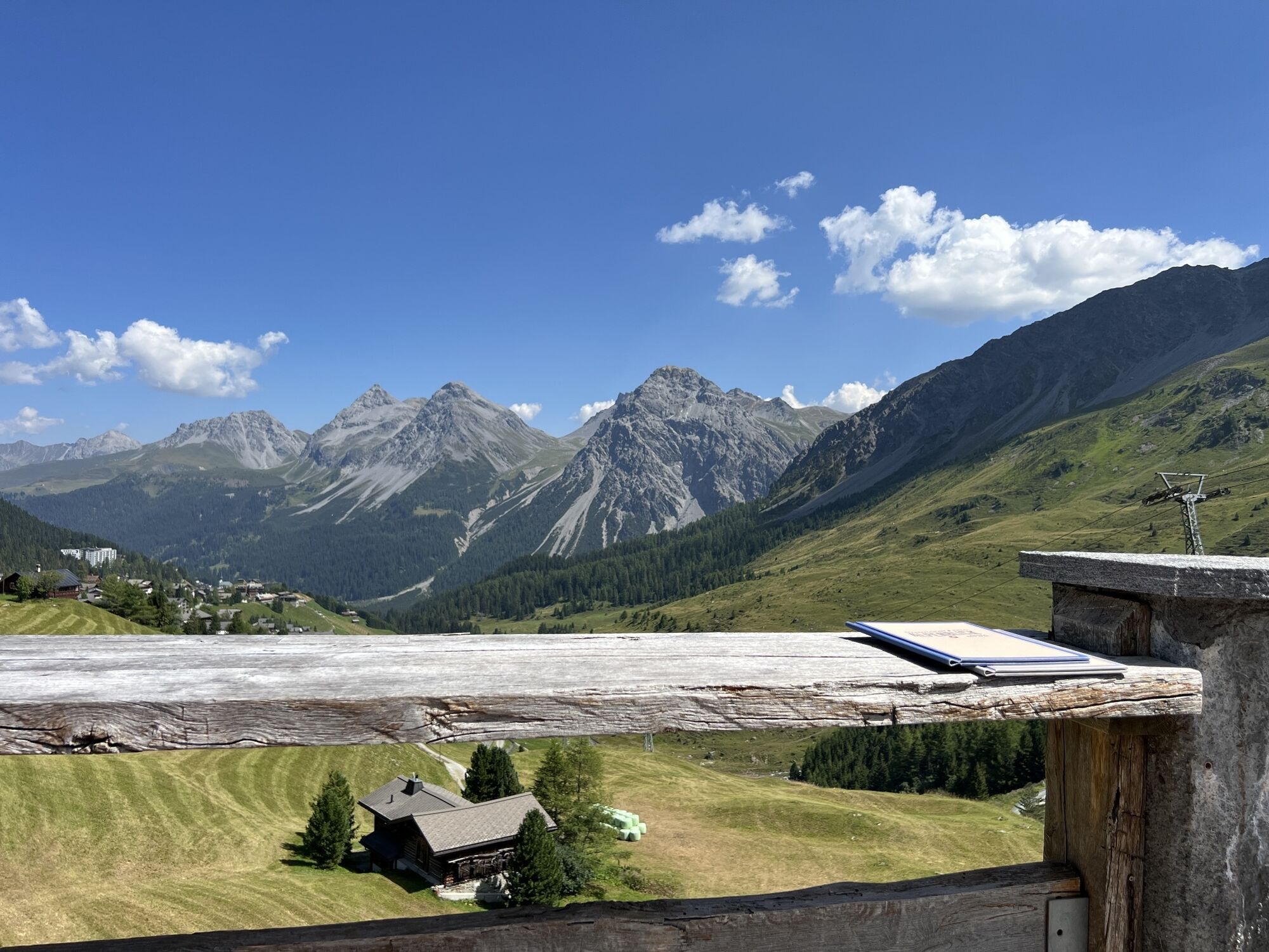
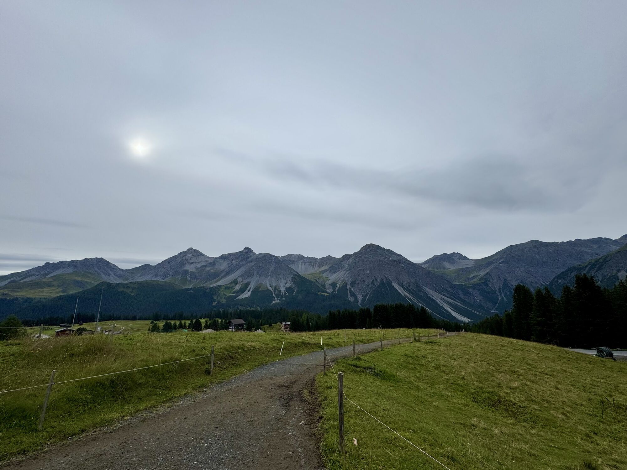
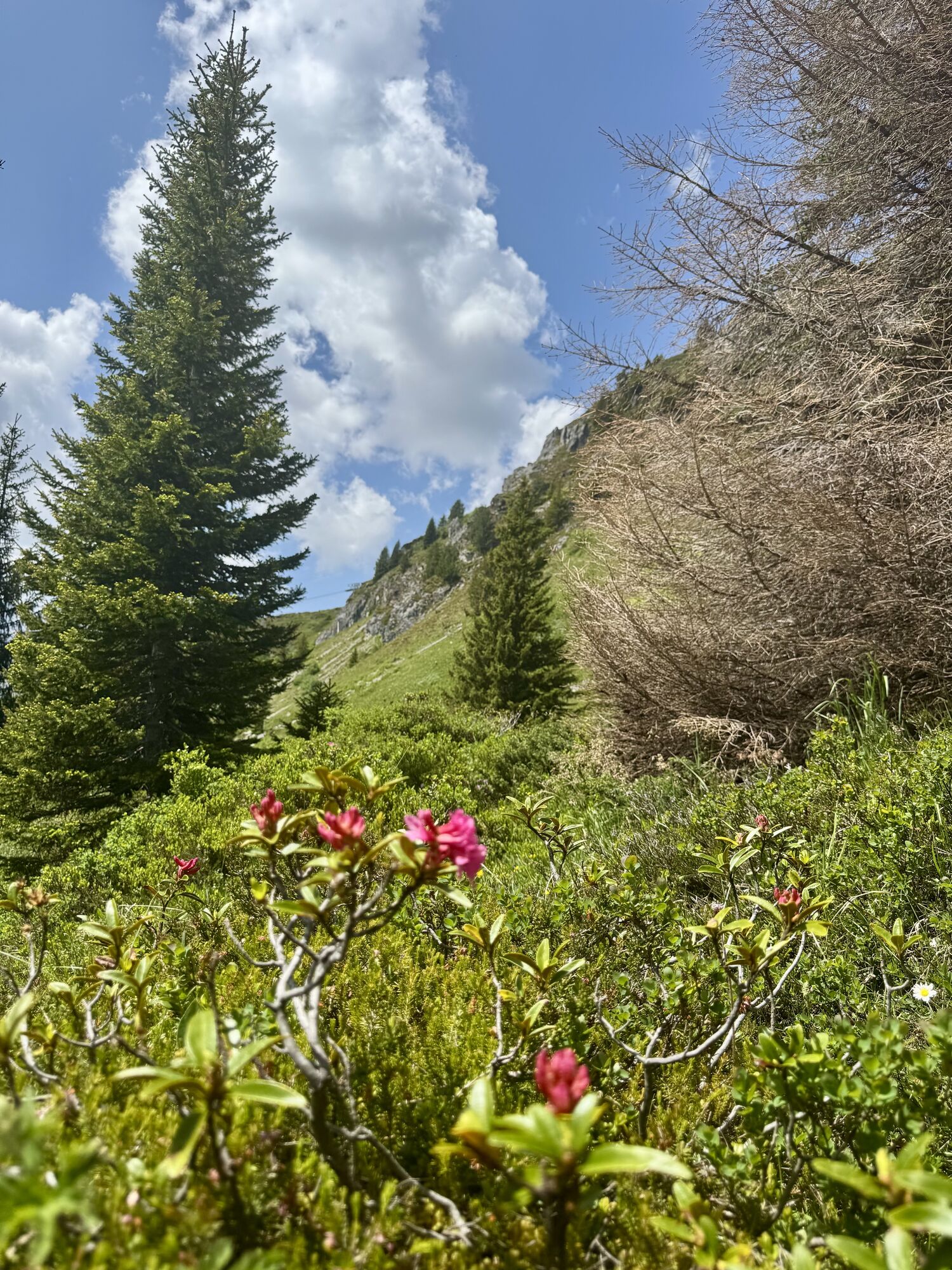
The Arlenwald trail is very centrally located and leads to wonderful views not far from the village. From the Scheitenböden, this trail first follows the paved road to Innerarosa before the actual ascent...
The Arlenwald trail is very centrally located and leads to wonderful views not far from the village. From the Scheitenböden, this trail first follows the paved road to Innerarosa before the actual ascent begins. You run over gravel paths through the summer ski area to the middle station of the Arosa-Weisshorn cable car with the Arosa Bear Land, and through the Arlenwald with a magnificent view back to the Scheitenböden.

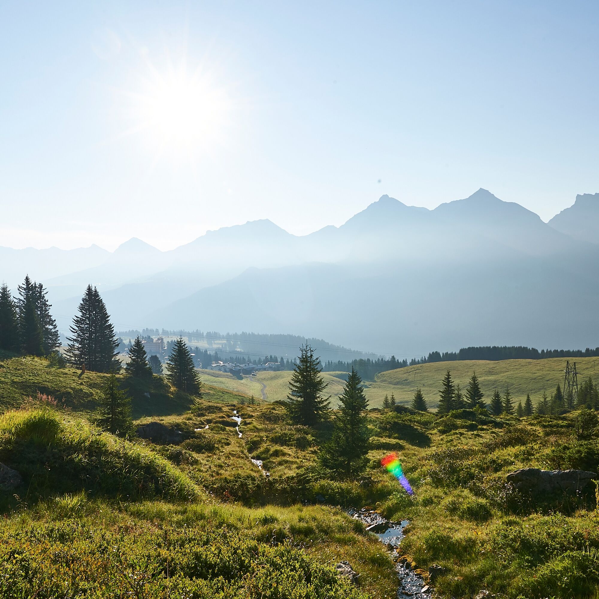
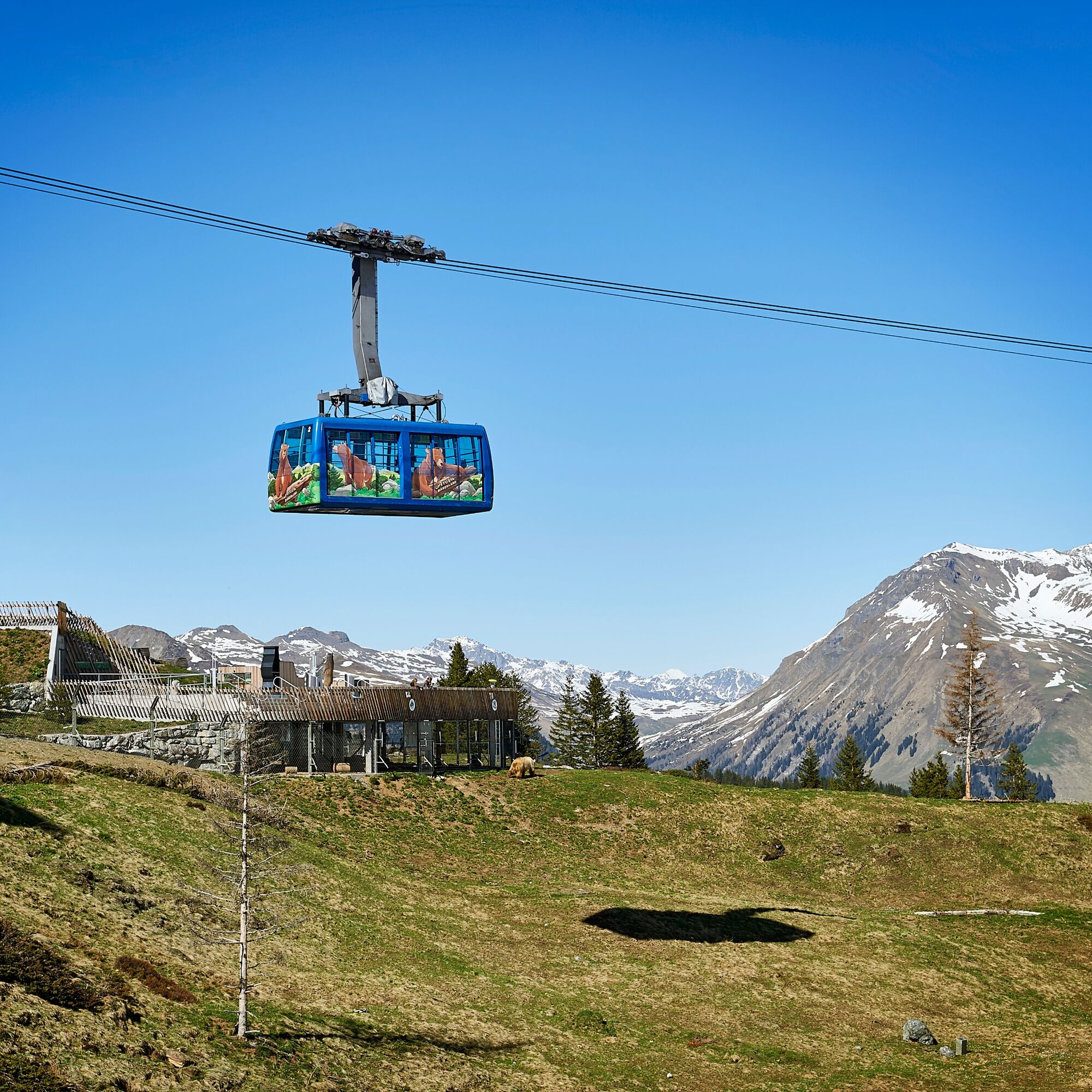
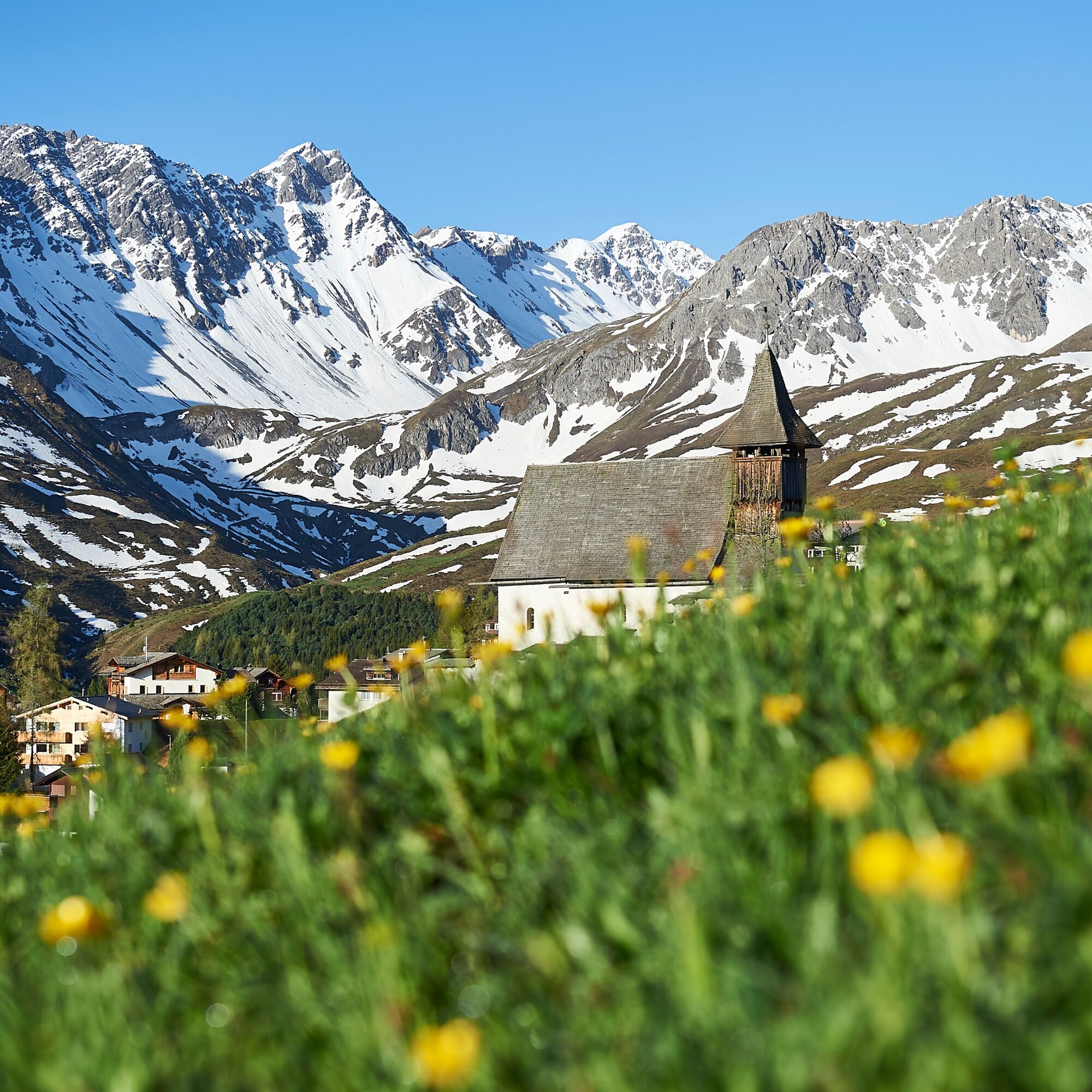
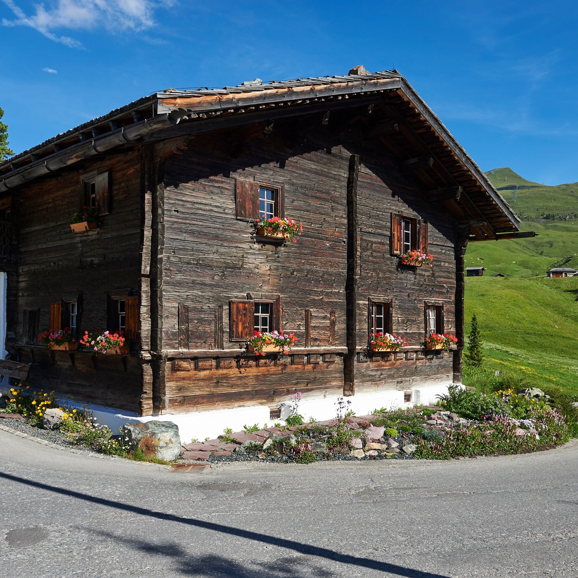

From the Scheitenböden, first continue upwards following the road to Innerarosa. Pass Brüggli and Kulmwiese further up until the path leads on gravel to the Alpenblick restaurant. After a short, steep climb, it continues on a rather flat stretch now towards the valley station of the Plattenhorn chairlift (not in operation in summer) and further up to the middle station of the Arosa-Weisshorn cable car. There is also an opportunity to get refreshments in the Brüggerstuba before continuing. Directly after the middle station, the Arlenwald trail begins down to Maran. From here, the path leads through the forest - slightly above the Eichhörnliweg - back to the Scheitenböden.
From Chur, follow the signs to Arosa. Before the Obersee, turn right and then again right at the beverage warehouse. The Scheitenböden are located where the chairlift floats above the street.
From Chur, the Rhaetian Railway runs every hour to Arosa. The Scheitenböden are located just above Arosa station and are easily accessible on foot.
Since there are no parking spaces at the Scheitenböden, it is recommended to park the car at the Obersee parking lot (directly in front of the beverage warehouse) or in the Ochsenbühl parking garage (to the left after the sports and congress center).
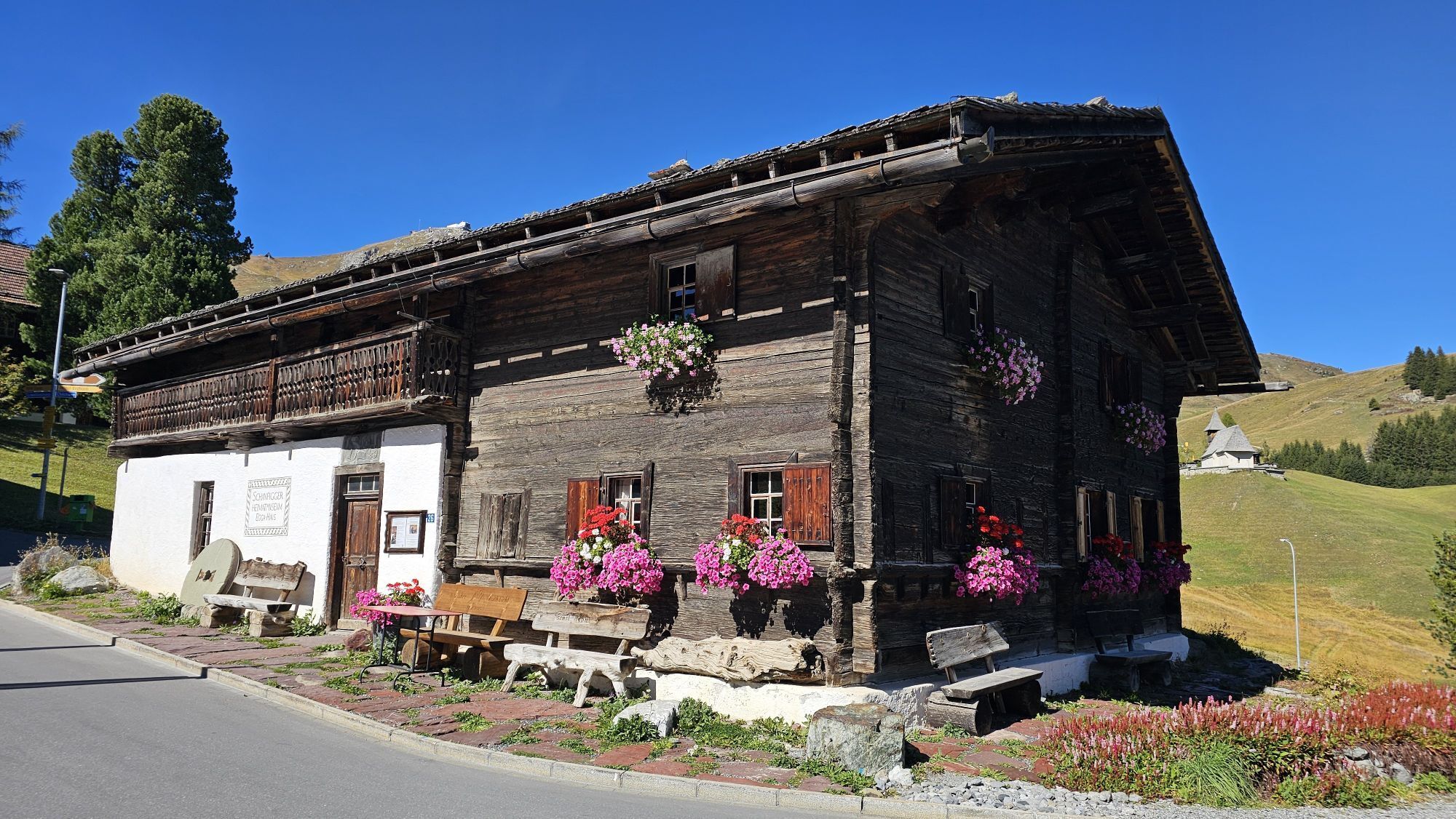
Visit the Arosa Bear Land, the local history museum "Eggahus," or take a detour to the popular mountain chapel.
Kamery internetowe z trasy

Popularne wycieczki w okolicy
-
4,6
749 Val Meltger suspension bridge trail
średniWędrówka 8,30 km -
3,9
Arosa-Medergen-Tritt-Latschüelfurgga-Strelapass-Davos
średniWędrówka 22,5 km -
Arosa-Schwellisee-Älplisee-Parpaner Rothorn
Wędrówka 12,3 km -
4,7
Arosa-Hörnli-Parpaner Rothorn-Lenzerheide
Wędrówka 11,9 km -
3,5
Arosa-Maienfelder Furgga-Stafelalp-Davos
średniWędrówka 15,9 km -
5,0
Alp Sanaspans - Rothorn
ciężkiWędrówka 13,6 km -
5,0
Eichhörnliweg Arosa
światłoTrasa tematyczna 1,72 km -
5,0
Arosa-Hörnli-Urdenfürrgli-Alp Scharmoin-Lenzerheide
średniWędrówka 15,3 km -
5,0
4-Viaduct hike
średniWędrówka 13,6 km -
5,0
767 Alteinsee Schiesshorn
średniWędrówka 11,9 km

Wędrówki i tropienie


Nie przegap ofert i inspiracji na następne wakacje
Twój adres e-mail została dodana do listy mailingowej.





