


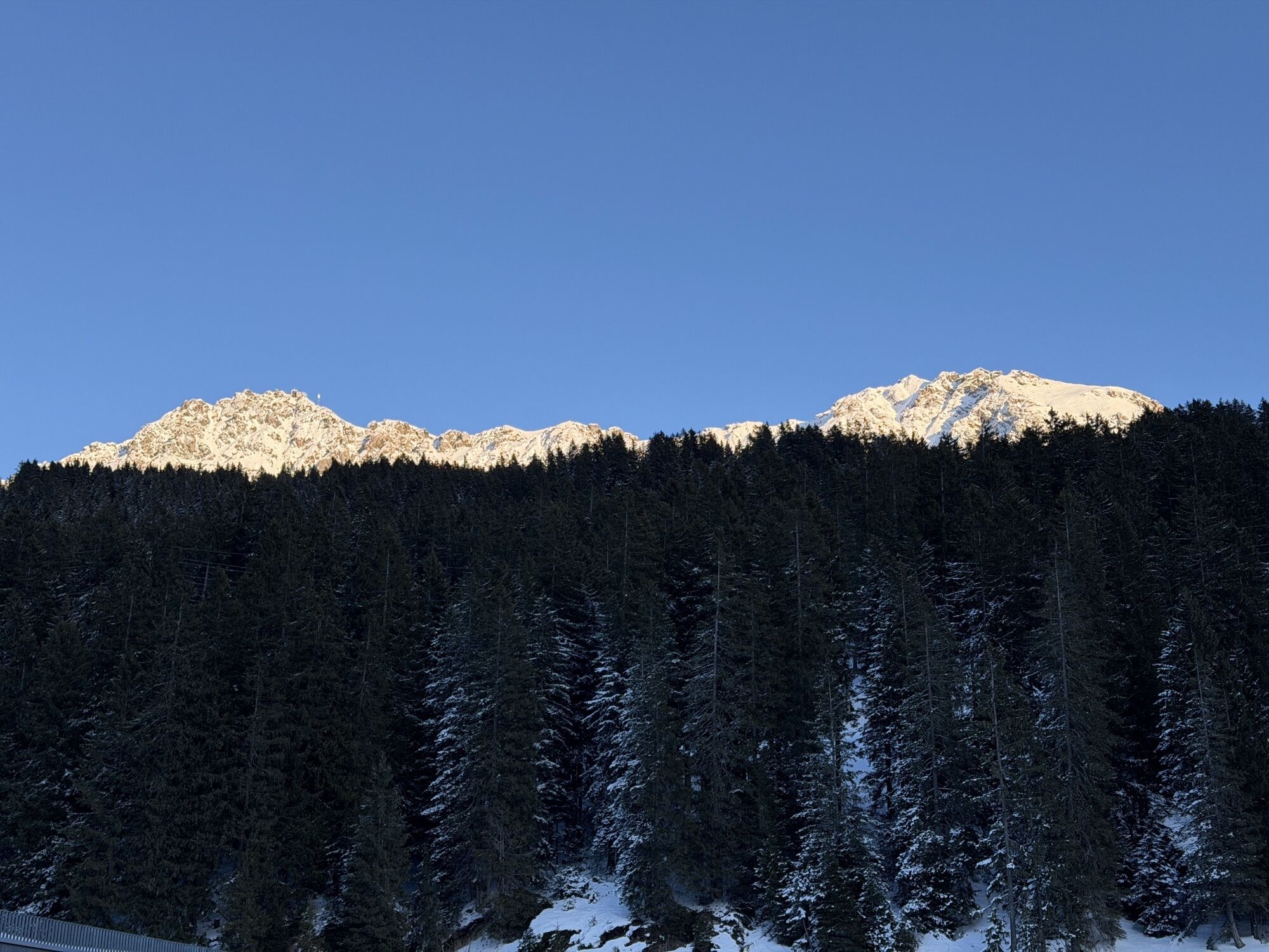
The path to the chapels in the municipality of Vaz/Obervaz - Variant 1
They stand in places such as rocky edges, on dangerous stretches of road or in remote hamlets for protection against misfortune and danger. They bear witness to the gratitude and contemplation of the local...
Various hikes lead past the different chapels.

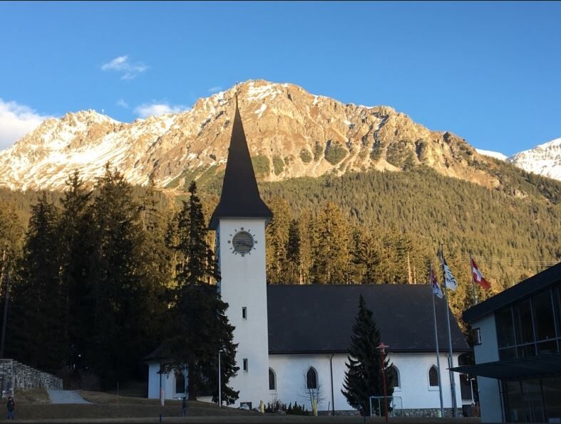
From the Lenzerheide post office, walk for about 5 minutes to the Lenzerheide Catholic Church and continue via the school building to the tennis court, where the Mariengrotte is located on a small hill opposite. It is a special kind of chapel in Lenzerheide because it was built on the initiative of the Ingebohl nun Redemta together with local young people. On 15 August, the feast of the Assumption of Mary, processions with flowers and lighted candles were held to the decorated statue of the Virgin Mary until the 1970s. The path continues along the Heidbach stream to the Heidsee lake. There you walk from the Lido on the left side of the lake to the Restaurant La Riva, along the lake road up to the hill, where the hiking trail then leads off to the left in the direction of Lieptges and Valbella/Sartons Youth Hostel. A new chapel can be found along the hiking trail in Lieptgas in honour of St. Anthony (approx. 30 minutes from the Fadail car park or 20 minutes from Valbella/Sartons Youth Hostel). The path then leads past the youth hostel, along the Sartonsstrasse down to Valbella to the Parpaner Höhe. There you immediately reach the chapel in honour of St. Francis of Assisi in Valbella Davains. The hike can then be continued via Valbella Resort, Fastatsch, Heidsee back to Lenzerheide.
Kamery internetowe z trasy
Popularne wycieczki w okolicy
-
Arosa-Schwellisee-Älplisee-Parpaner Rothorn
Wędrówka 12,3 km -
4,7
Arosa-Hörnli-Parpaner Rothorn-Lenzerheide
Wędrówka 11,9 km -
5,0
Arosa-Hörnli-Urdenfürrgli-Alp Scharmoin-Lenzerheide
średniWędrówka 15,3 km -
5,0
Eichhörnliweg Arosa
światłoTrasa tematyczna 1,72 km -
4,5
749 Val Meltger suspension bridge trail
średniWędrówka 8,30 km -
5,0
Arosa-Erzhornsattel-Arosa
Wędrówka 14,9 km -
5,0
767 Alteinsee Schiesshorn
średniWędrówka 11,9 km -
745 Family Trail Lenzerheide
światłoWędrówka 9,36 km -
2,0
Arosa-Furclettapass-Alvaneu
Wędrówka 21,8 km -
5,0
4-Viaduct hike
średniWędrówka 13,6 km
Wędrówki i tropienie


Nie przegap ofert i inspiracji na następne wakacje
Twój adres e-mail została dodana do listy mailingowej.