







Signposted snowshoe trail: Giraniga / Huot

Poziom trudności: WT2
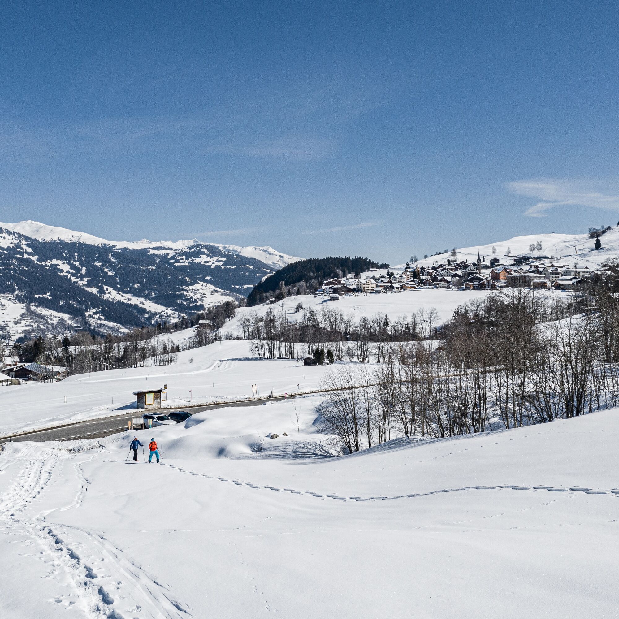
The start of the route is signposted from Sand near Giraniga or directly from Giraniga.
At the beginning, the route leads along meadow slopes and crosses over the village of Pilavarda. Now, a few steeper...
The start of the route is signposted from Sand near Giraniga or directly from Giraniga.
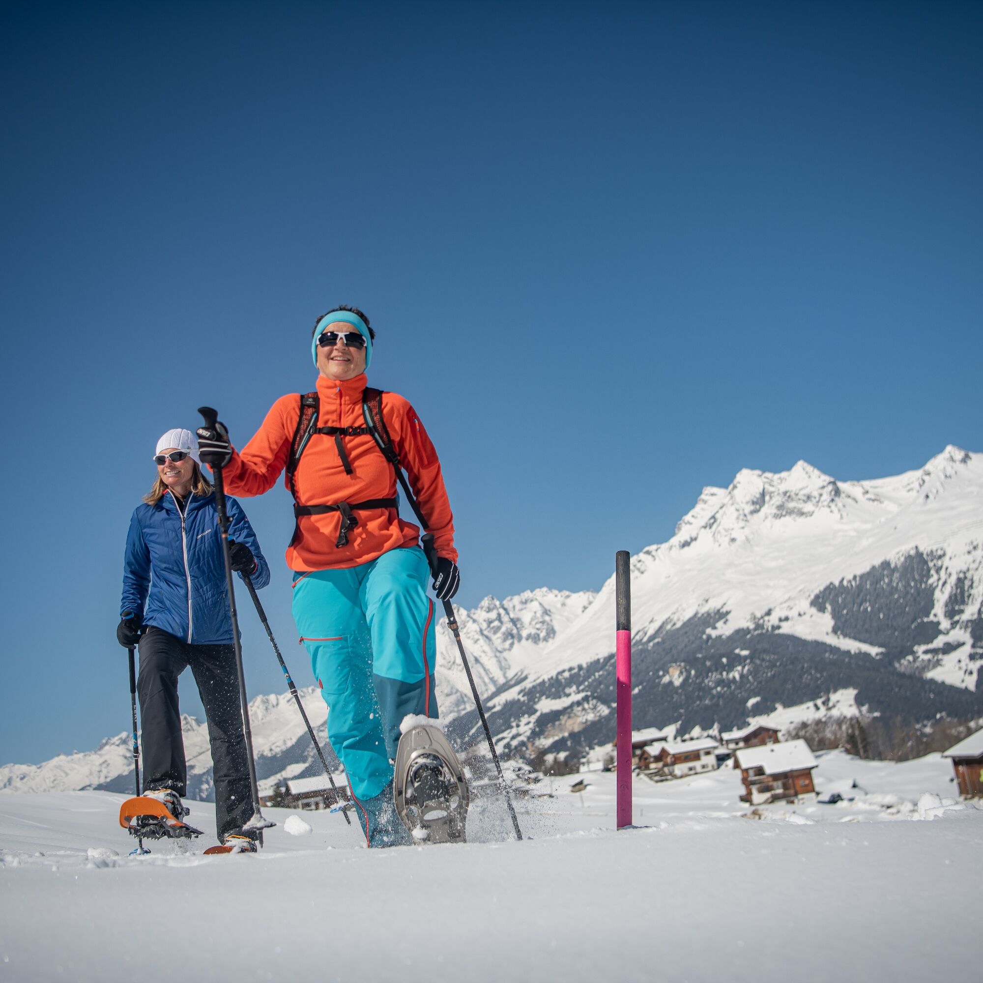
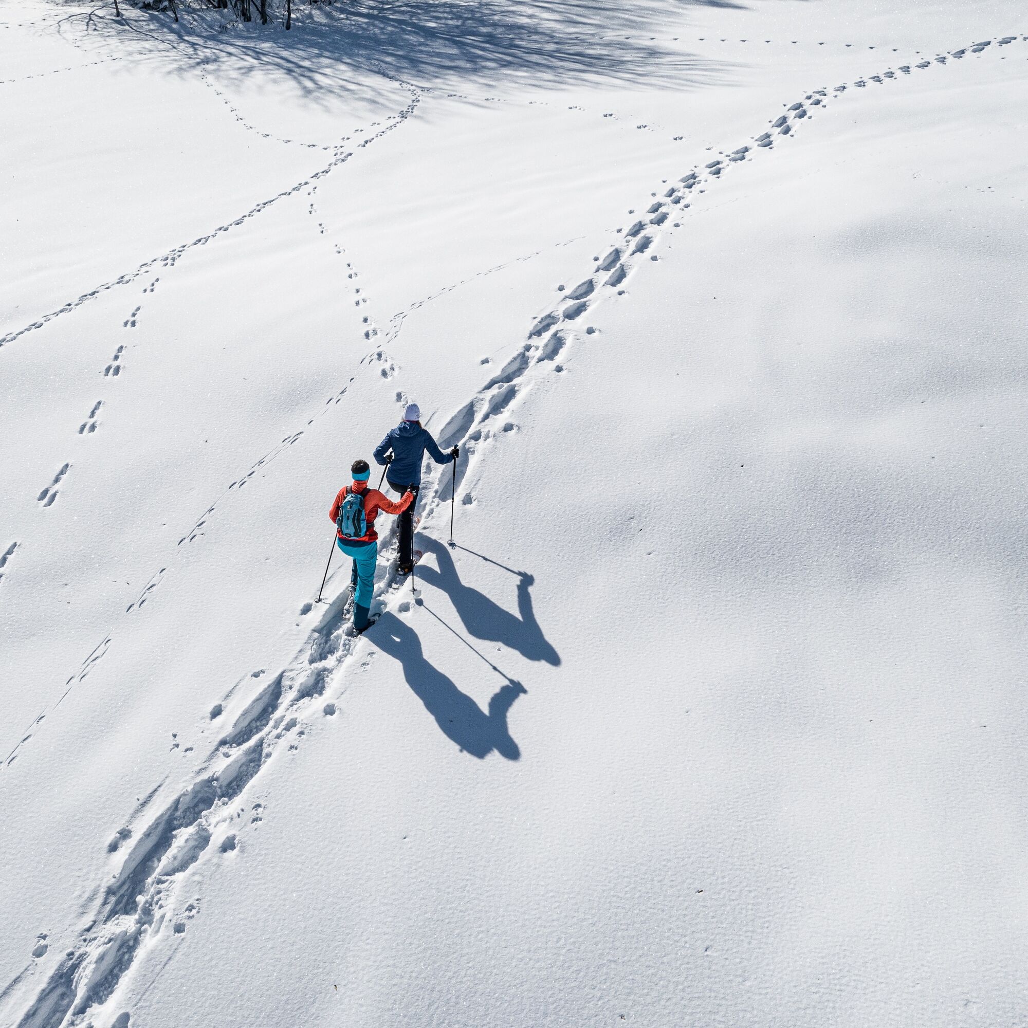
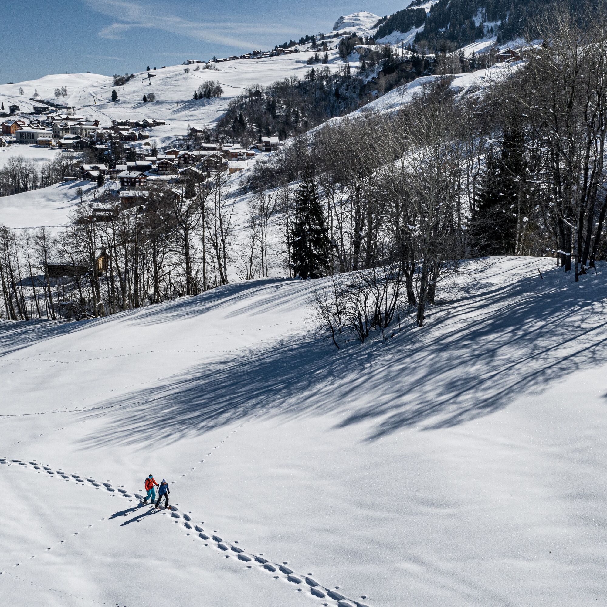
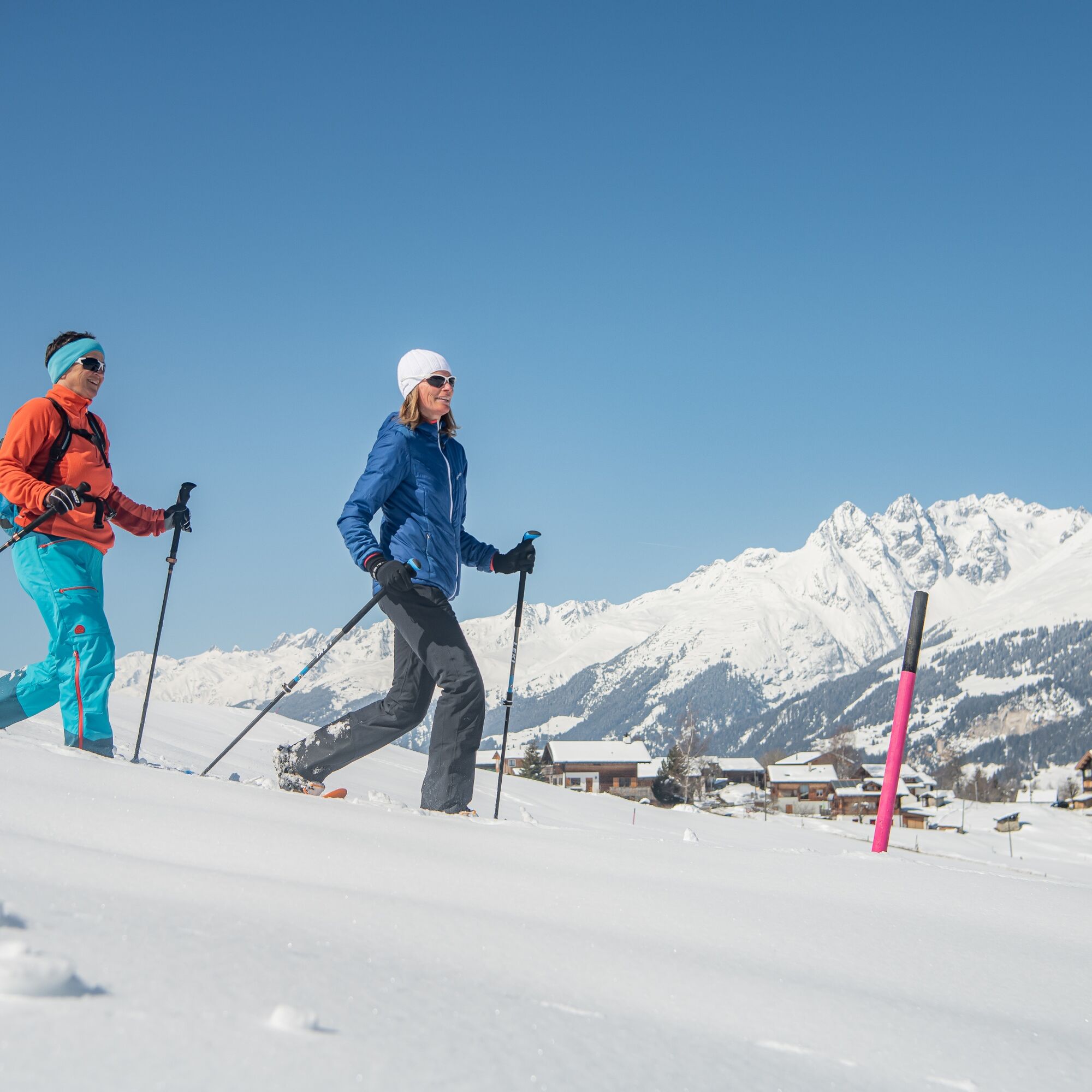
At the beginning, the route leads along meadow slopes and crosses over the village of Pilavarda. Now, a few steeper slopes must be mastered. These are rather short and manageable for most. The scenery becomes more idyllic shortly before Huot. The hilly landscape up to the magnificent viewpoint is pure enjoyment. Here you might be lucky enough to spot chamois. Please behave quietly to avoid startling the animals too much. A long rest at Huot is almost mandatory. The panorama here extends from Oberalpstock, over the Brigelserhörner, to the Ringelspitz or the Calanda.
The first meters of the return are tackled over a nice ridge before it goes straight down. This gives a descent and is also fun. At the winter hiking trail, signs point either back to Sand or to Giraniga.


Giraniga or Sand - Pilavarda - Huot - Üsser der Gasse - Giraniga or Sand
Well-functioning snowshoes, poles with winter baskets, good footwear, winter-appropriate clothing. The wind in winter can significantly lower the perceived temperature: don’t forget winter gloves, hat, thermos bottle, etc.
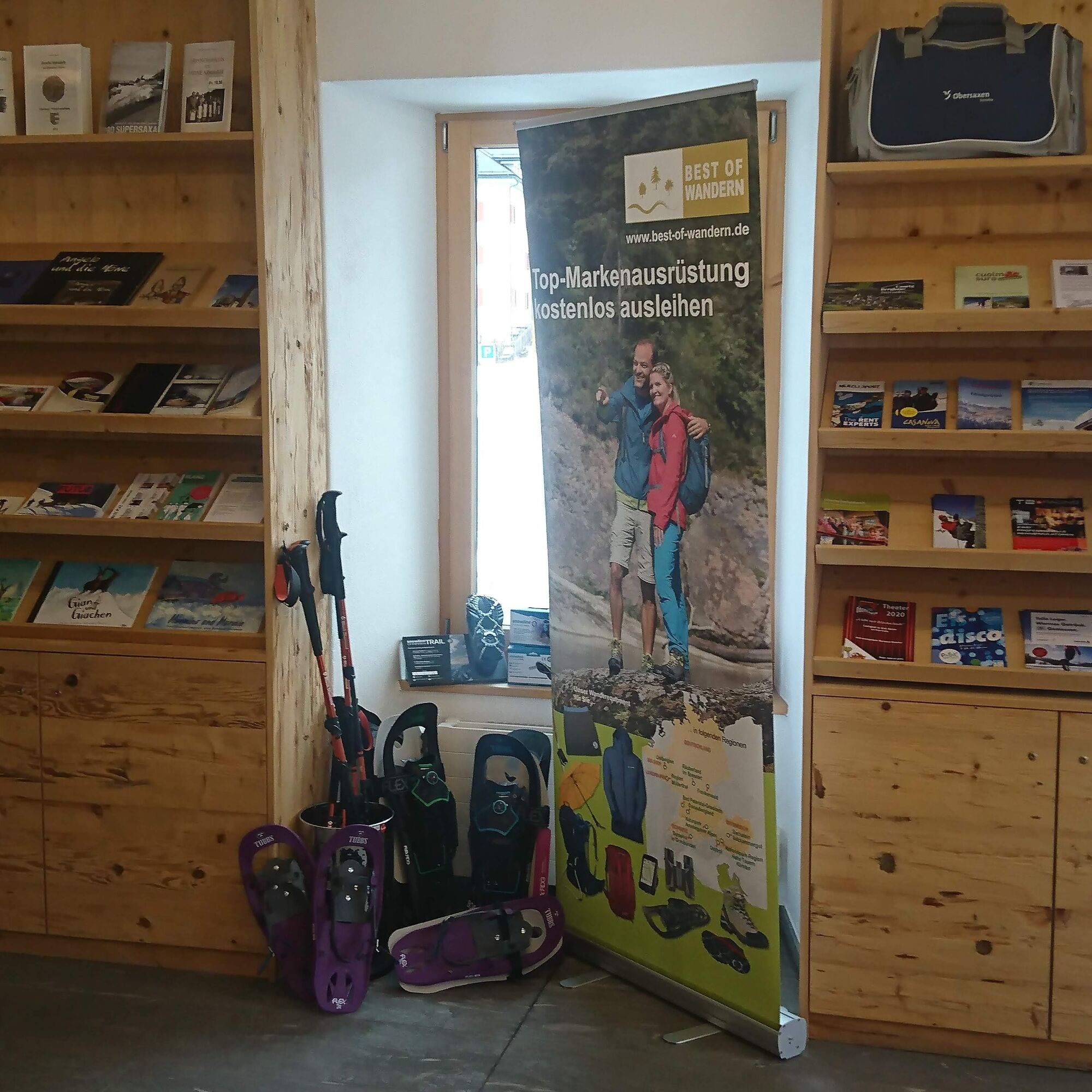
Snowshoe equipment can be rented at Menzli Sport or Casanova Sport. Test snowshoes are also available at the Surselva Tourism information office in Obersaxen.
This snowshoe route is marked in the terrain with pink posts but is not tracked. There are no steeper slopes that are avalanche-prone. In case of high avalanche danger, tours in unsecured terrain must generally be avoided.
Learn more about the current avalanche danger at WhiteRisk.
Want bigger routes? For carefree enjoyment, we recommend our mountain guides and snowshoe hiking leaders of the Surselva.
By car via Obersaxen to the Sand parking lot or Giraniga parking lot.
From Ilanz, take the post bus to Obersaxen, Tusen junction (Sand) or Obersaxen, Giraniga.
There are a small number of parking spaces at Sand and Giraniga. In winter, the ski bus and post bus are free for all guests.
WT2
The route is described counterclockwise but can be done in both directions.
Kamery internetowe z trasy

Popularne wycieczki w okolicy
-
5,0
Kalktrittli - Nüschentäli - Muttsee - Obersee - Muttenchopf - Mörtel - Limmerensee - Kalktrittli (durch Stollen)
średniWędrówka 14,8 km -
5,0
High valley Val Frisal
ciężkiWędrówka 12,4 km -
3,8
Circular hike: Falera-Curnius-Alp Dadens-Falera
średniWędrówka 11,4 km -
5,0
2-day hike Greina high plateau
ciężkiWędrówka 15,5 km -
5,0
Hiking route Suspension Bridge Val da Tersnaus
średniWędrówka 3,24 km -
4,7
Dutjer Alp - magnificent view
średniWędrówka 8,23 km -
Panoramic route between Piz Mundaun and Péz Sezner
średniWędrówka 6,75 km -
4,5
Trail run: Pigniu - Panixersee - Pigniu
średniTrailrunning 8,32 km -
5,0
Kistenpasshütte-Breil/Brigels
średniWędrówka 13,7 km -
4,3
Around the Grep da Plaids
średniWędrówka 8,05 km

Wędrówki i tropienie


Nie przegap ofert i inspiracji na następne wakacje
Twój adres e-mail została dodana do listy mailingowej.





