




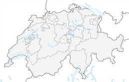

Alp Stavonas circular route

Poziom trudności: WT2
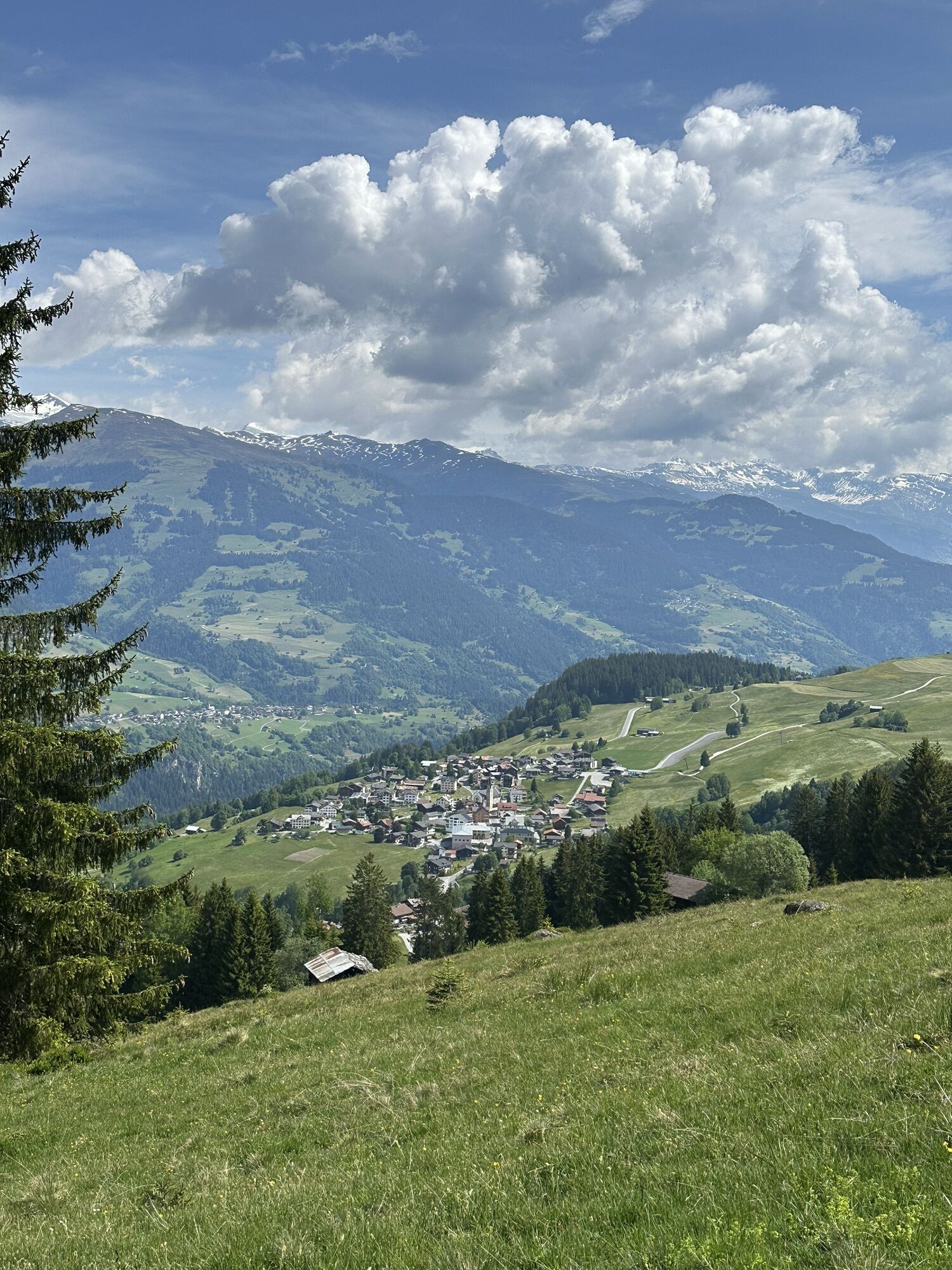
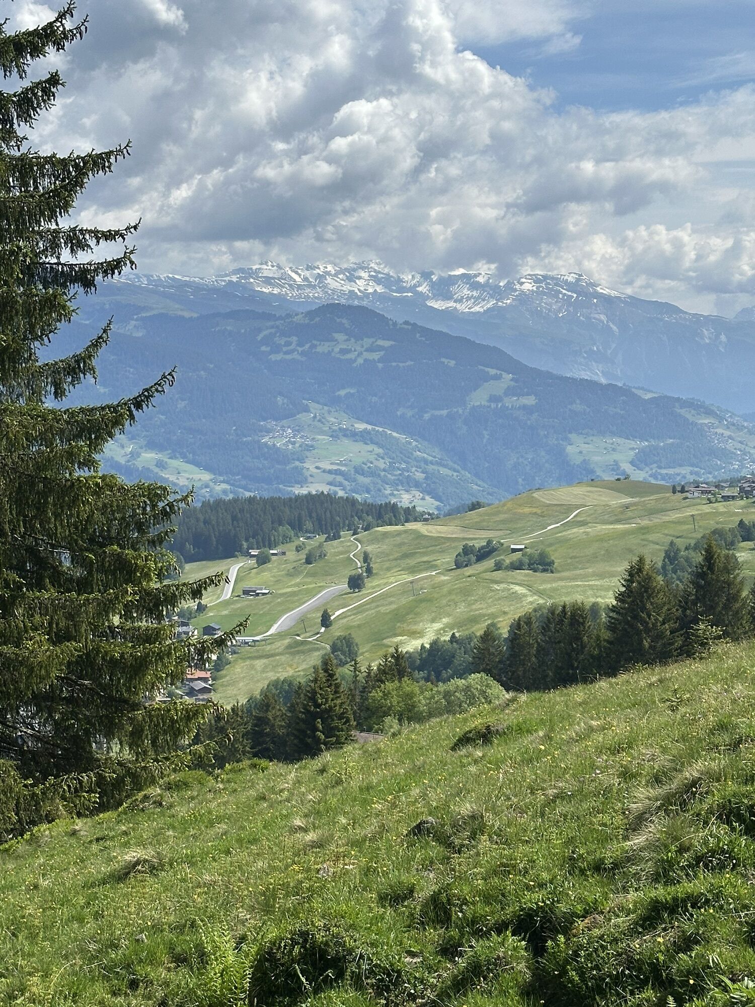
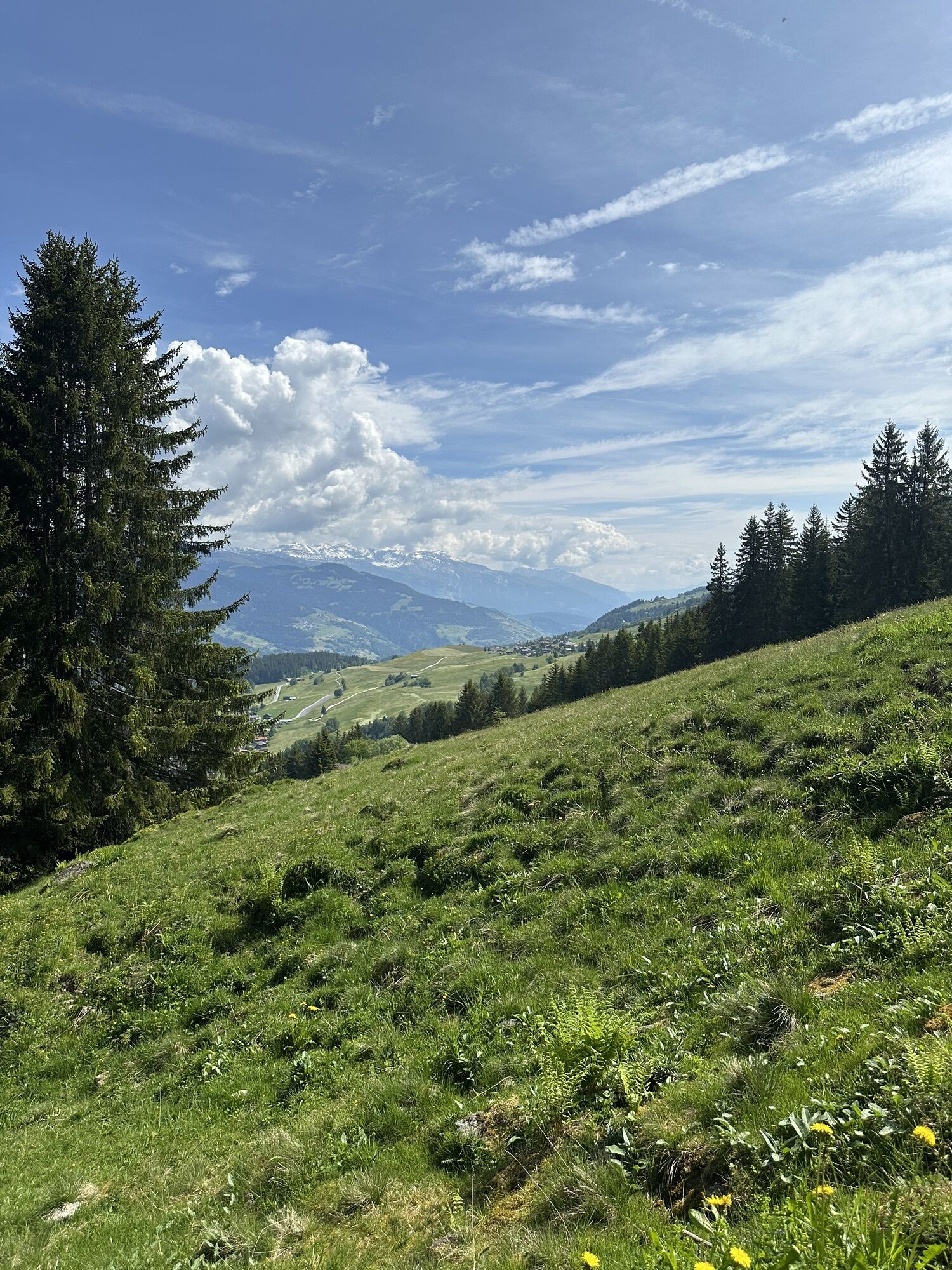
The route starts in "Sand" between Obersaxen Meierhof and Giraniga. Easy warming up is difficult because shortly after the start you go steeply uphill. Not too steep, but you gain altitude quickly. The...
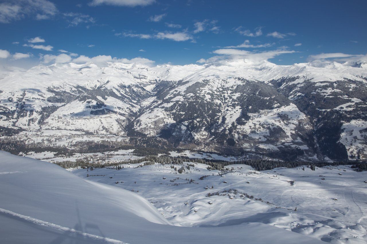
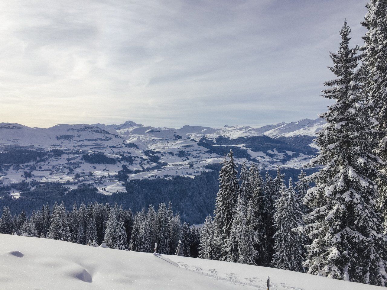
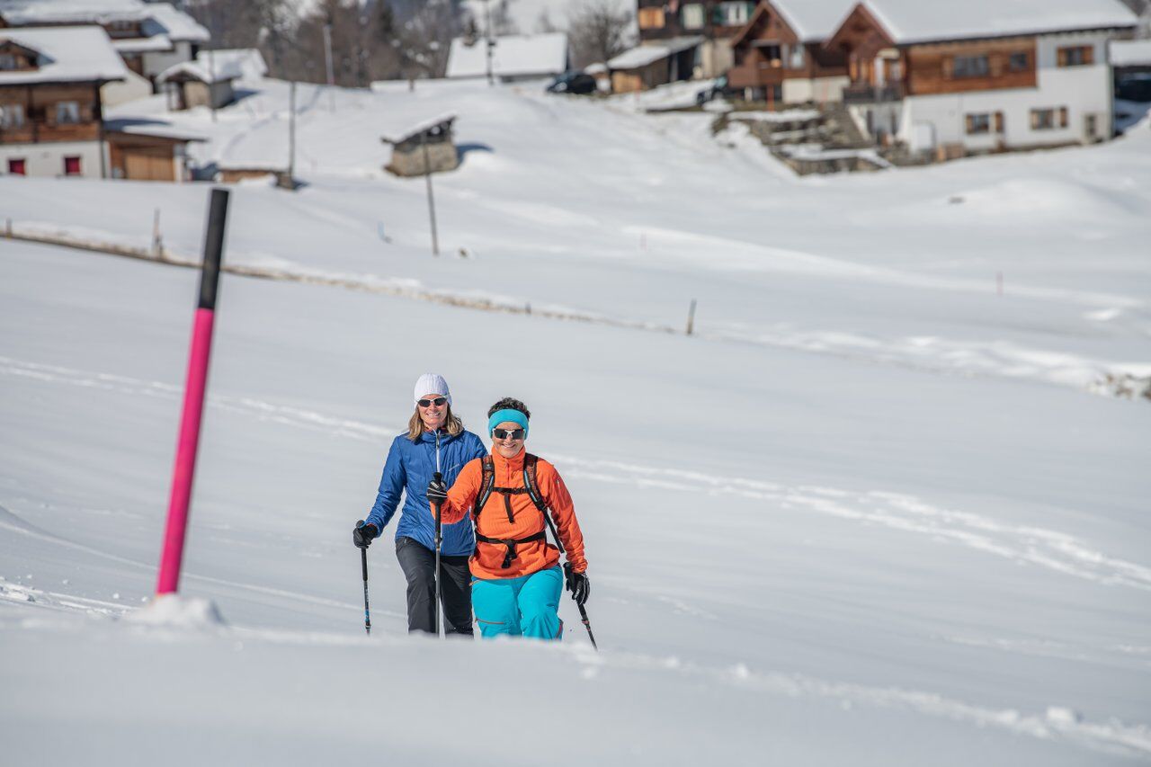
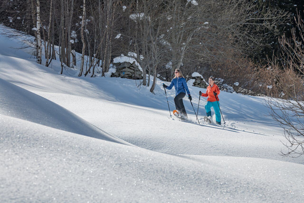
The route starts in "Sand" between Obersaxen Meierhof and Giraniga. Easy warming up is difficult because shortly after the start you go steeply uphill. Not too steep, but you gain altitude quickly. The route leads to Huot on the descent route of the marked snowshoe trail «Giraniga/Huot». Soon you turn into the Walserweg. This leads you through magical forest and scenic clearings. At Sassli, a beautiful barbecue spot in summer, you cross the groomed winter hiking trail and now definitely leave civilization. The subsequent crossing of the Nallwald is only allowed on the route described here. You are in a wildlife quiet zone where leaving the path is not permitted. The ascent on the forest road is relaxing and enjoyable. After the forest section, you go over Alp Prada to the summit-like hill above Alp Stavonas. Well, the panorama up here is really fantastic!
Downhill, we lead you along the edge of the forest and the edge of the wildlife quiet zone back to Sassli and from there in a direct descent over Zarzana to the starting point.


Obersaxen Sand - Huot - Walserweg - Sassli - Nallwald - Alp Stavonas - Sassli - Zarzana - Obersaxen Sand
See safety instructions.
Snowshoe equipment can be rented at Menzli Sport or Casanova Sport. Test snowshoes are also available at the Surselva Tourism information office in Obersaxen.
Ski and snowshoe tours in unsecured terrain require good knowledge in avalanche risk assessment and tour planning. Furthermore, a complete safety equipment must always be carried - regardless of the current avalanche risk.
For preparation and planning of the tour, we recommend the APP and website of WhiteRisk.
For carefree enjoyment, we recommend our mountain guides and snowshoe hiking leaders of Surselva.
From Ilanz through almost all of Obersaxen. Past Meierhof through the ravine and to the Sand parking lot.
From Ilanz to "Obersaxen, Tusen junction"
(Sand)
There are few parking spaces at the Sand parking lot. Alternatively, very few parking spaces are available at Giraniga. From there, you can enter the route laterally.
The ski bus is free for all guests from Ilanz in winter.
WT2
We move here in and around a large wildlife quiet zone. Please be sure to stay on the route described here.
Those who want to save 100 meters of elevation can go directly over Alp Stavonas after the Nallwald.
Kamery internetowe z trasy

Popularne wycieczki w okolicy
-
5,0
High valley Val Frisal
ciężkiWędrówka 12,4 km -
3,8
Circular hike: Falera-Curnius-Alp Dadens-Falera
średniWędrówka 11,4 km -
5,0
2-day hike Greina high plateau
ciężkiWędrówka 15,5 km -
5,0
Hiking route Suspension Bridge Val da Tersnaus
średniWędrówka 3,24 km -
4,7
Dutjer Alp - magnificent view
średniWędrówka 8,23 km -
Giro della Greina
Wędrówka 50,6 km -
Panoramic route between Piz Mundaun and Péz Sezner
średniWędrówka 6,75 km -
4,5
Trail run: Pigniu - Panixersee - Pigniu
średniTrailrunning 8,32 km -
5,0
Kistenpasshütte-Breil/Brigels
średniWędrówka 13,7 km -
5,0
Southeast Switzerland Hiking Day Vals 2017
światłoWędrówka 11,8 km
Wędrówki i tropienie


Nie przegap ofert i inspiracji na następne wakacje
Twój adres e-mail została dodana do listy mailingowej.





